|
| Curving more toward the east, SR 44 (New York Avenue) leaves Ed Stone Park. A handful of businesses and homes line the ensuing rural stretch to the outskirts of DeLand. 05/13/08 |
|
| Volusia County Road 4053 (Grand Avenue) leads north from SR 44 to the community of Glenwood. Construction in 2017 converted the at-grade intersection with Grand Avenue into a roundabout. 05/12/08 |
|
| Grand Avenue carries CR 4053 north to Minnesota Avenue west out of DeLand. CR 4053 follows Minnesota west to the continuation of Grand Avenue northward to De Leon Springs and U.S. 17. 05/13/08 |
|
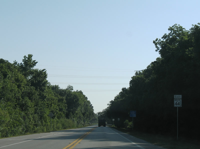
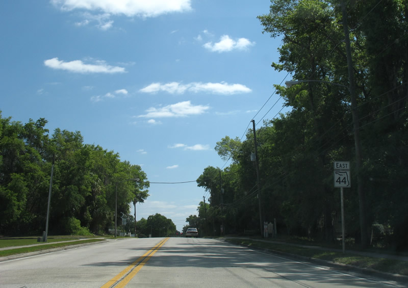
| Continuing east from CR 4053 (Grand Avenue) on SR 44 (New York Avenue) toward the city of DeLand. 05/12/08 |
|
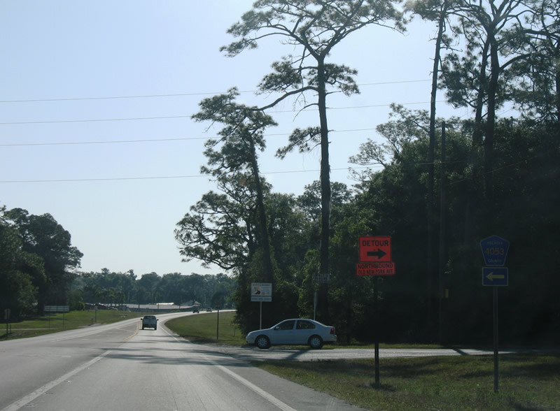
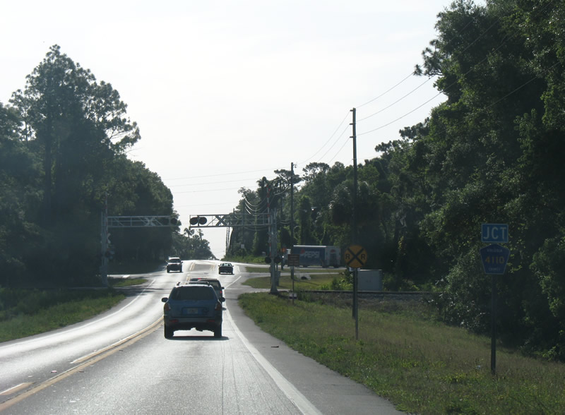
| CR 4110 (Old New York Avenue) converges with SR 44 (New York Avenue) northeast from Hontoon Road (CR 4125) and the DeLand Amtrak station. Old New York Avenue is a former alignment of SR 44. 05/12/08 |
|
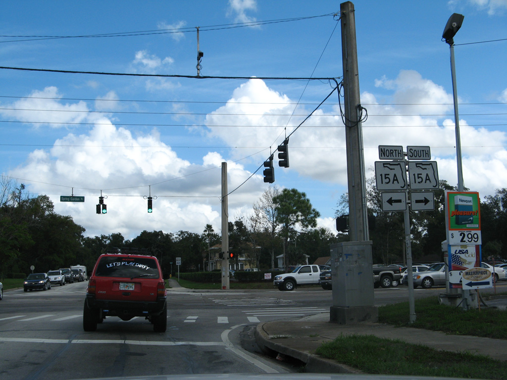
| SR 44 levels out after the at-grade crossing with the CSX Railroad ahead of SR 15A (Spring Garden Avenue). SR 15A derives its number from SR 15, the counterpart of U.S. 17. 05/13/08 |
|
| SR 15A provides a truck bypass route for U.S. 17/92 around DeLand while also linking SR 44 with International Speedway Boulevard (CR 92) east to DeLand Municipal Airport (DED). 05/13/08 |
|
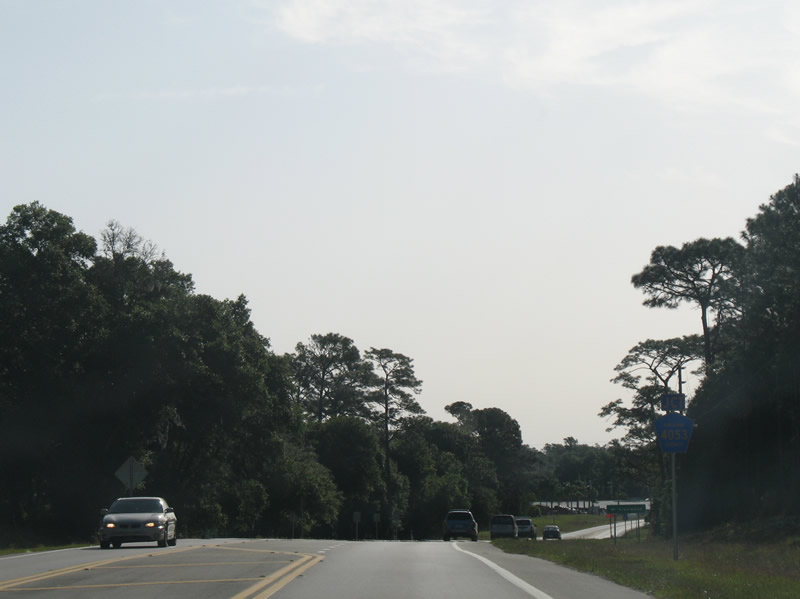
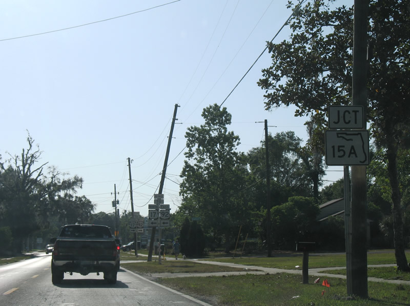
| SR 15A (Spring Garden Avenue) leads south to U.S. 17/92 (Woodland Boulevard) for Orange City. 05/13/08 |
|
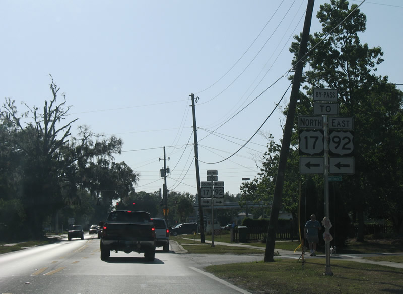
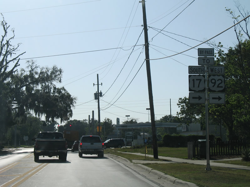
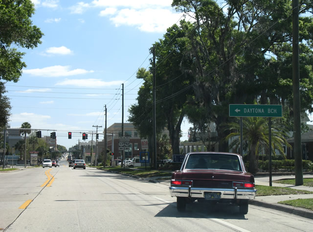
| SR 15A connects with CR 92 east to U.S. 92 for Daytona Beach, and with U.S. 17 north to DeLeon Springs and Palatka. 12/30/06 |
|
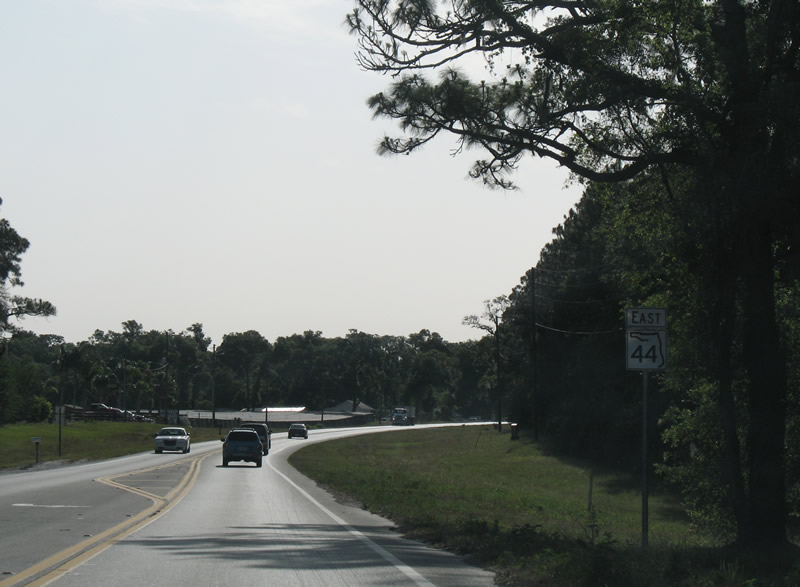
| SR 44 (West New York Avenue) eastbound after SR 15A (Spring Garden Avenue) in west DeLand. 03/21/08 |
|
| Eastbound SR 44 at Stone Street (unsigned CR 4115). Stone Street travels north to AdventHealth Deland Hospital and south to Beresford Avenue (unsigned CR 4112). 03/21/08 |
|
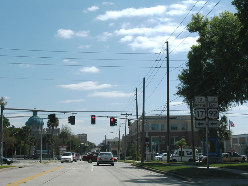
| U.S. 17/92 shields precede the intersection with Clara Avenue (unsigned CR 4113). Clara Avenue provides part of the connection linking SR 44 with U.S. 17/92 due to the turn restriction at Woodland Boulevard. 03/21/08 |
|
| Clara Avenue north to Wisconsin Avenue (unsigned CR 4098) east links SR 44 east with U.S. 17/92 (Woodland Boulevard) north toward Daytona Beach. 03/21/08 |
|
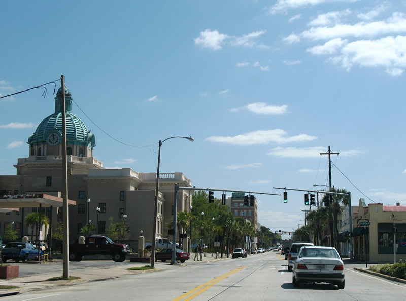
| The Volusia County Courthouse comes into view along SR 44 (W New York Avenue) at Clara Avenue. 03/21/08 |
|
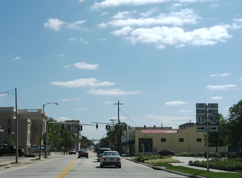
| Florida Avenue south to Howry Avenue east joins SR 44 (W New York Avenue) east with U.S. 17/92 south to Orange City and DeBary. 03/21/08 |
|
| The Volusia County Administration Center and Court House are located east of Florida Avenue and north of SR 44 (New York Avenue). 03/21/08 |
|
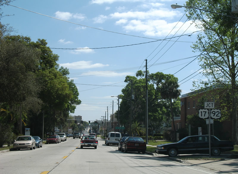
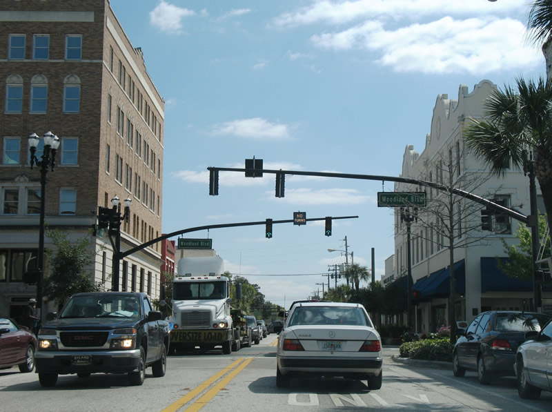
| SR 44 crosses U.S. 17/92 (Woodland Boulevard) at the center of historic Downtown DeLand. Woodland Boulevard separates west and east street prefixes in the city. 03/21/08 |
|
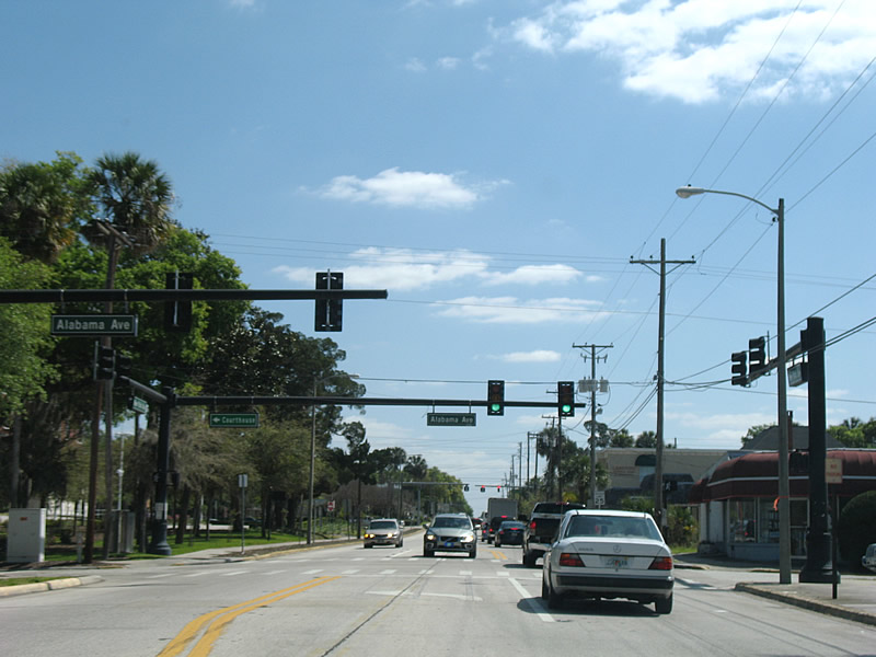
| SR 44 proceeds to Alabama Avenue. Alabama Avenue runs along the east side of Downtown between Howry and Rich Avenues. 03/21/08 |
|
| SR 44 reassurance marker posted east of Amelia Avenue (unsigned CR 4103). 03/21/08 |
|
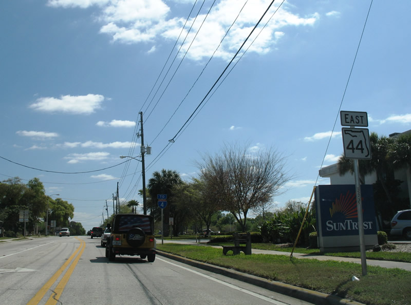
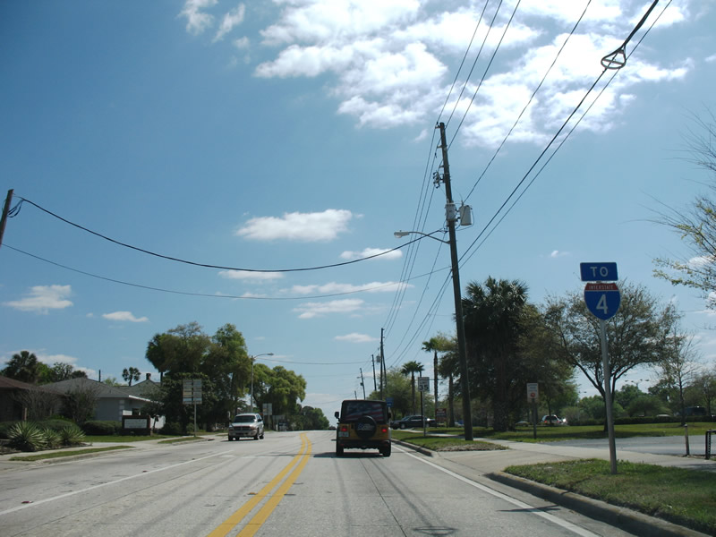
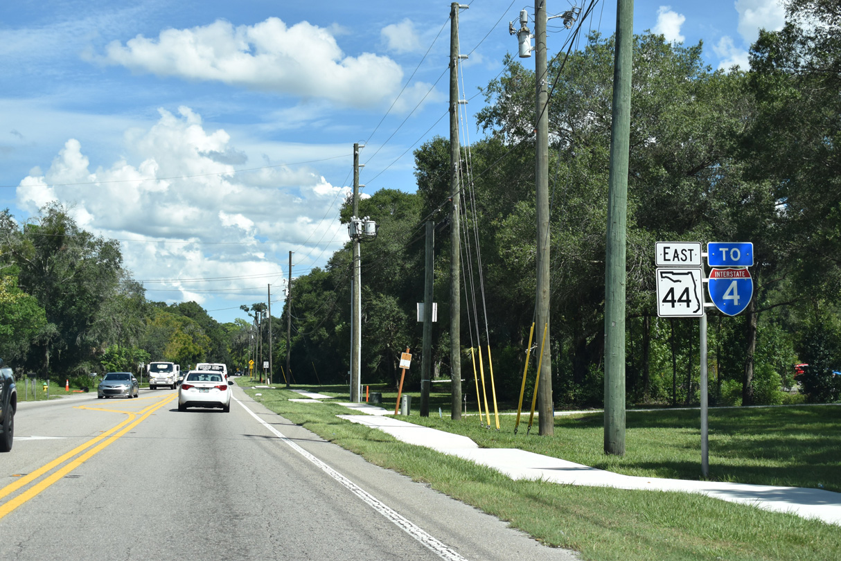
| SR 44 joins historic Downtown DeLand and Stetson University with Interstate 4 at Exit 118. 03/21/08 |
|
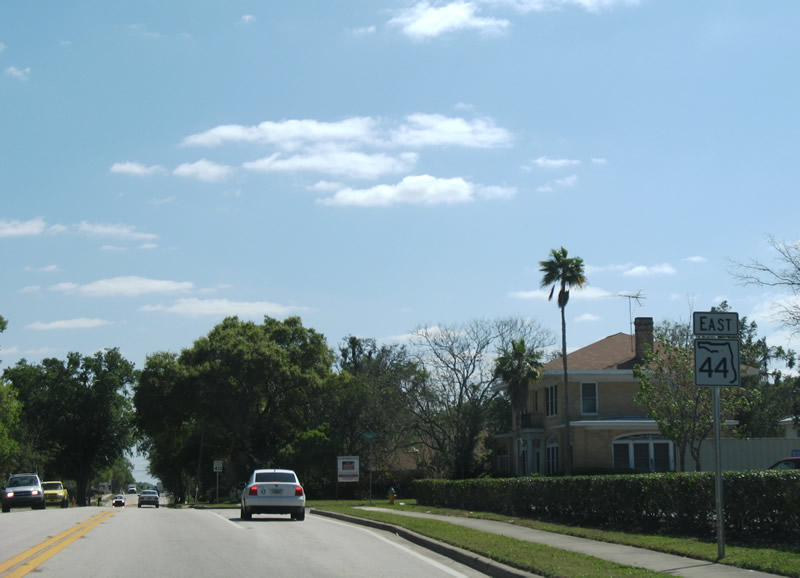
| East from Downtown DeLand, SR 44 travels 24 miles to New Smyrna Beach. 03/21/08 |
|
| Reassurance marker posted after Virginia Avenue on SR 44 (E New York Avenue) in east DeLand. 03/21/08 |
|
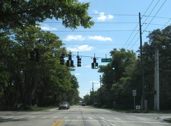
| Hill Avenue doubles as CR 4105 from SR 44 north to Jacobs Road (CR 4097) and south to Beresford Avenue (CR 4112). All three county roads are not signed. 03/21/08 |
|
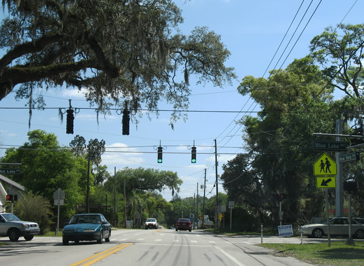
| Blue Lake Avenue curves southeast from Plymouth Avenue (unsigned CR 4092) and crosses paths with SR 44 near Blue Lake Elementary School. Blue Lake Avenue extends south to CR 4116 (Orange Camp Road), but mainly acts as a residential through road. 03/21/08 |
|
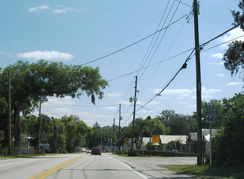
| SR 44 (East New York Avenue) leaves the DeLand street grid south of Blue Lake. 03/21/08 |
|
| SR 44 shifts a quarter mile southward from Talmadge Gardens Road to Voorhis Avenue. 03/21/08 |
|
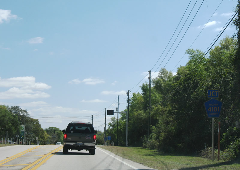
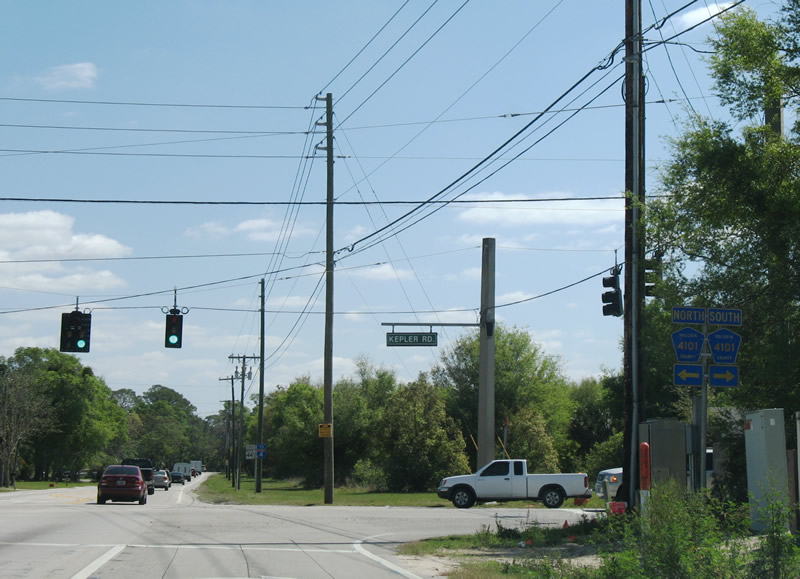
| CR 4101 (Kepler Road) meets SR 44 (East New York Avenue) on the outskirts of DeLand. CR 4101 south becomes Dr. Martin Luther King, Jr. Beltway, a controlled access arterial, en route to SR 472. 03/21/08 |
|
| CR 4101 (Kepler Road) heads north to North Lake Talmadge and U.S. 92 (International Speedway Boulevard) near DeLand Municipal Airport (DED). Southward the county road follows the MLK Beltway to Graves Road (CR 4116) in Orange City. 03/21/08 |
|
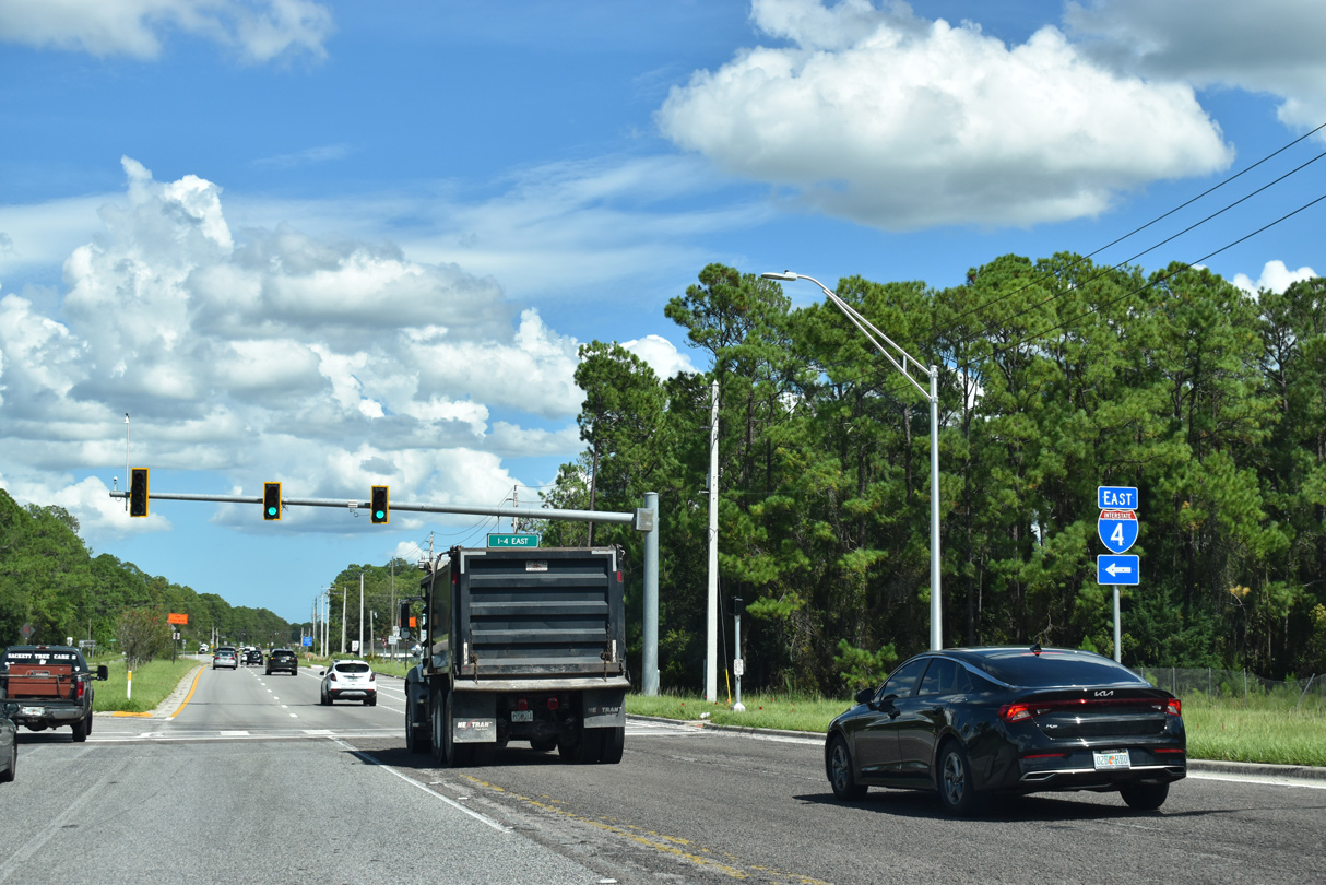
| SR 44 (New York Avenue) arcs southeast from Kepler Road around Lake Winnemissett to Interstate 4 east of DeLand. 09/12/22 |
|
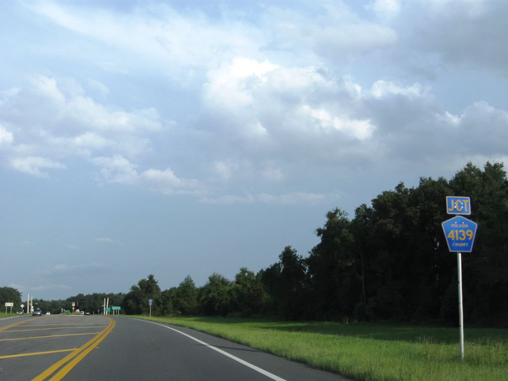
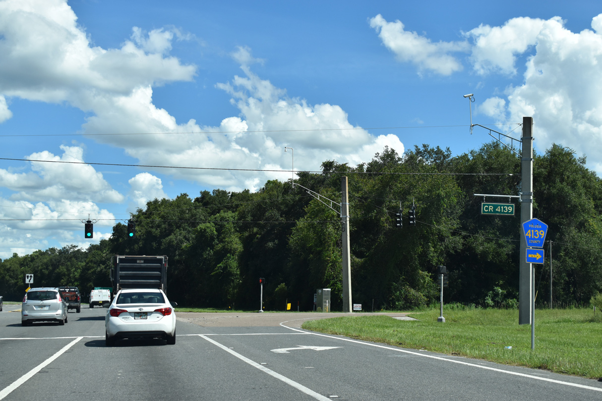
| Meeting SR 44 (New York Avenue) after Lake Winnemissett is the north end of Volusia County Road 4139 (Summit Avenue). 04/29/08 |
|
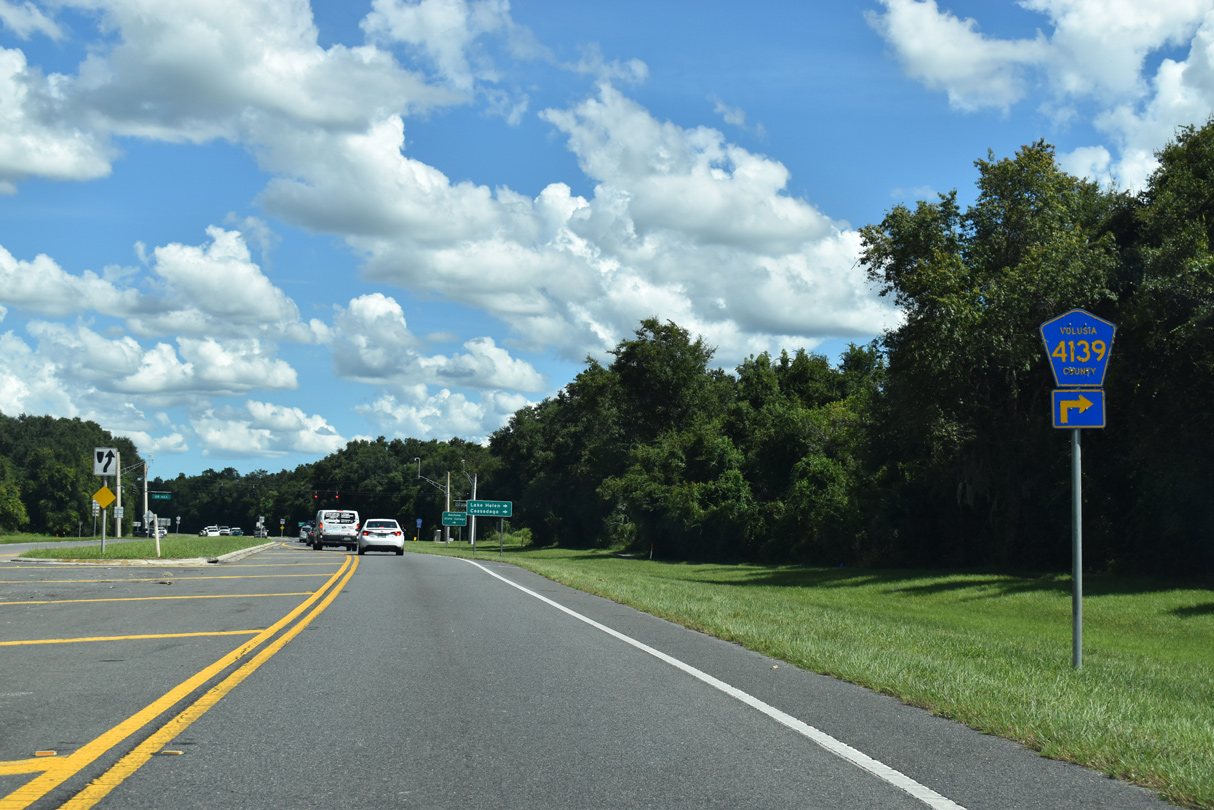
| SR 44 divides into a four lane highway ahead of CR 4139 (Summit Avenue) south. 09/12/22 |
|
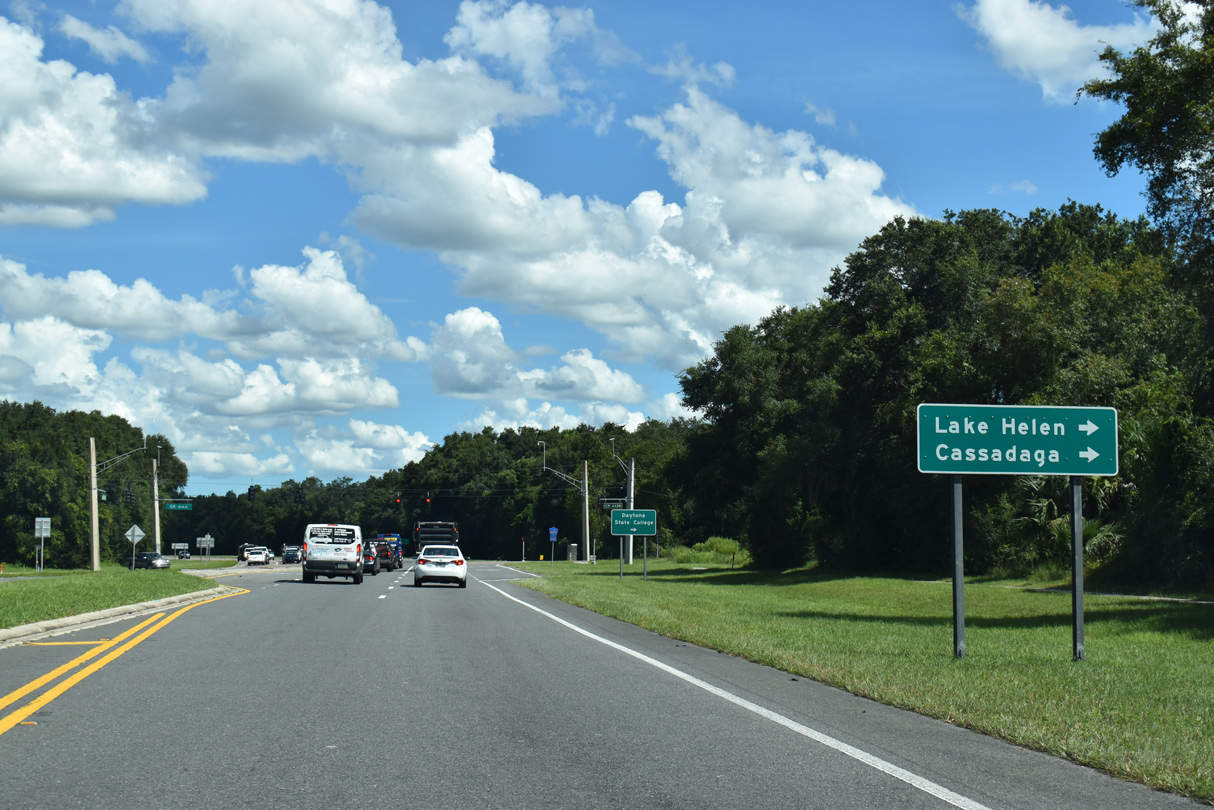
| CR 4139 provides a direct route south to the city of Lake Helen and adjacent Cassadaga. I-4 west to Exit 116 also serves Lake Helen via Main Street (CR 4116). 09/12/22 |
|
| Eastbound SR 44 (New York Avenue) at Summit Avenue (CR 4139) south and Service Road (old SR 44) north. This section of old SR 44 was bypassed during reconstruction of the exchange with Interstate 4 in 2006-08. 09/12/22 |
|
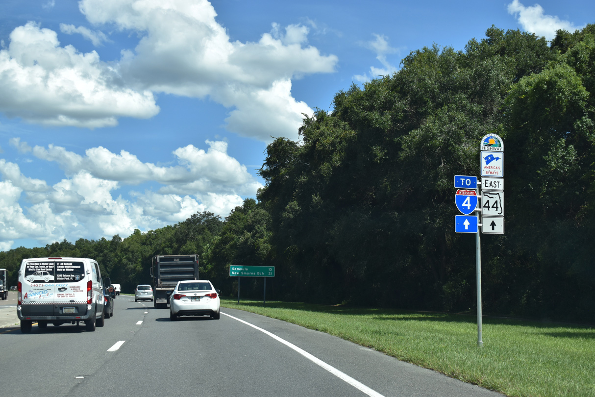
| SR 44 curves eastward from Summit Avenue to meet Interstate 4 in 0.6 miles. 09/12/22 |
|
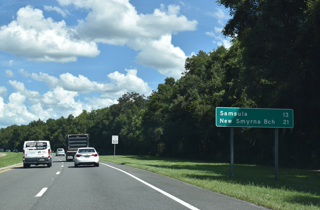
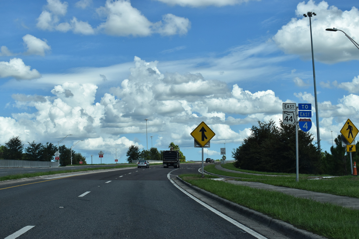
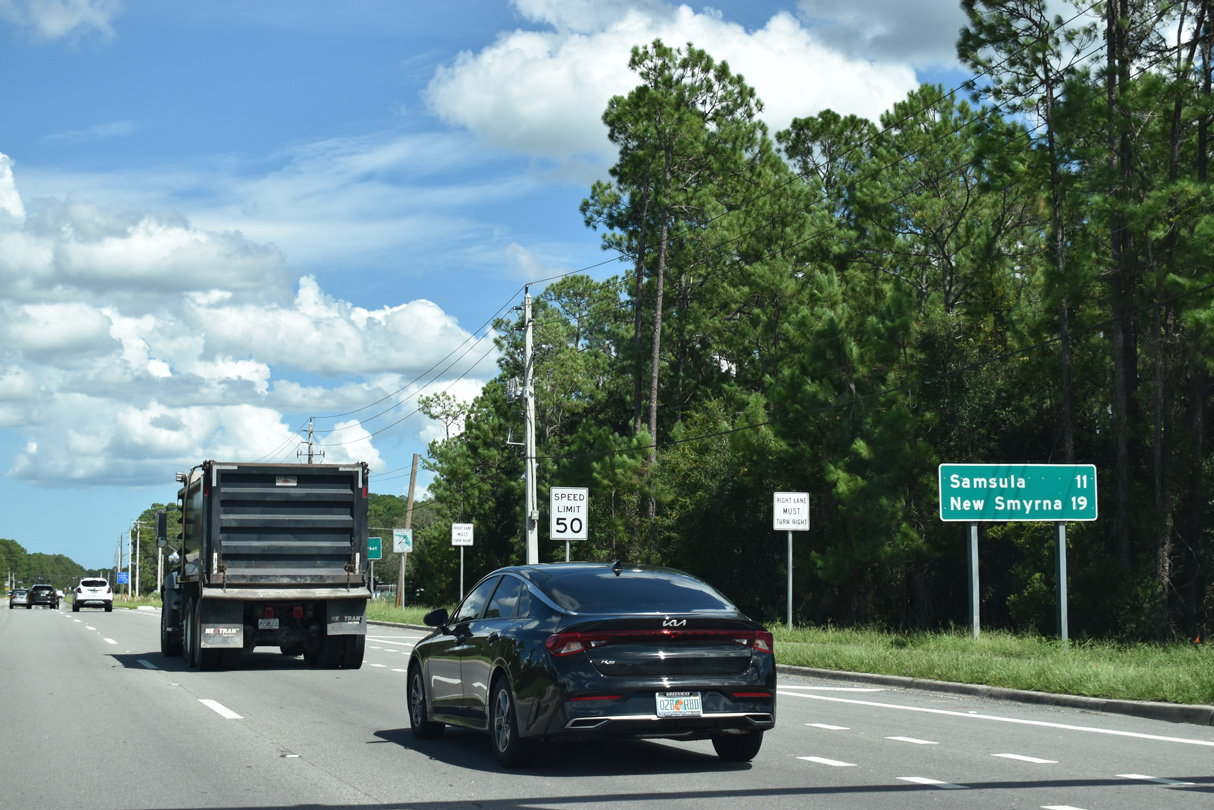
| Samula, cross roads with SR 415 south and CR 415 (Tomoka Farms Road) north, lies midway between I-4 and New Smyrna Beach along SR 44. 09/12/22 |
|
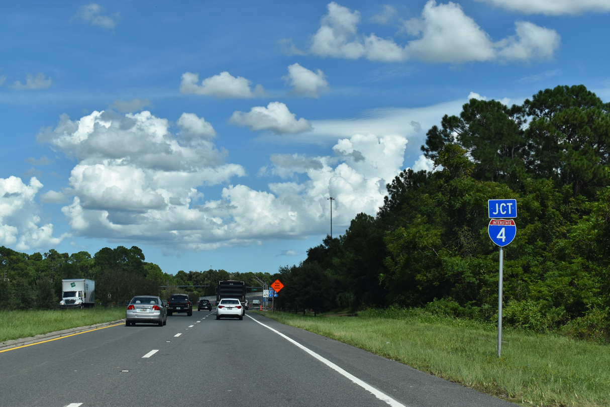
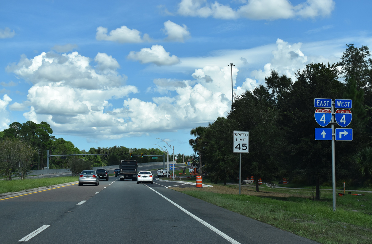
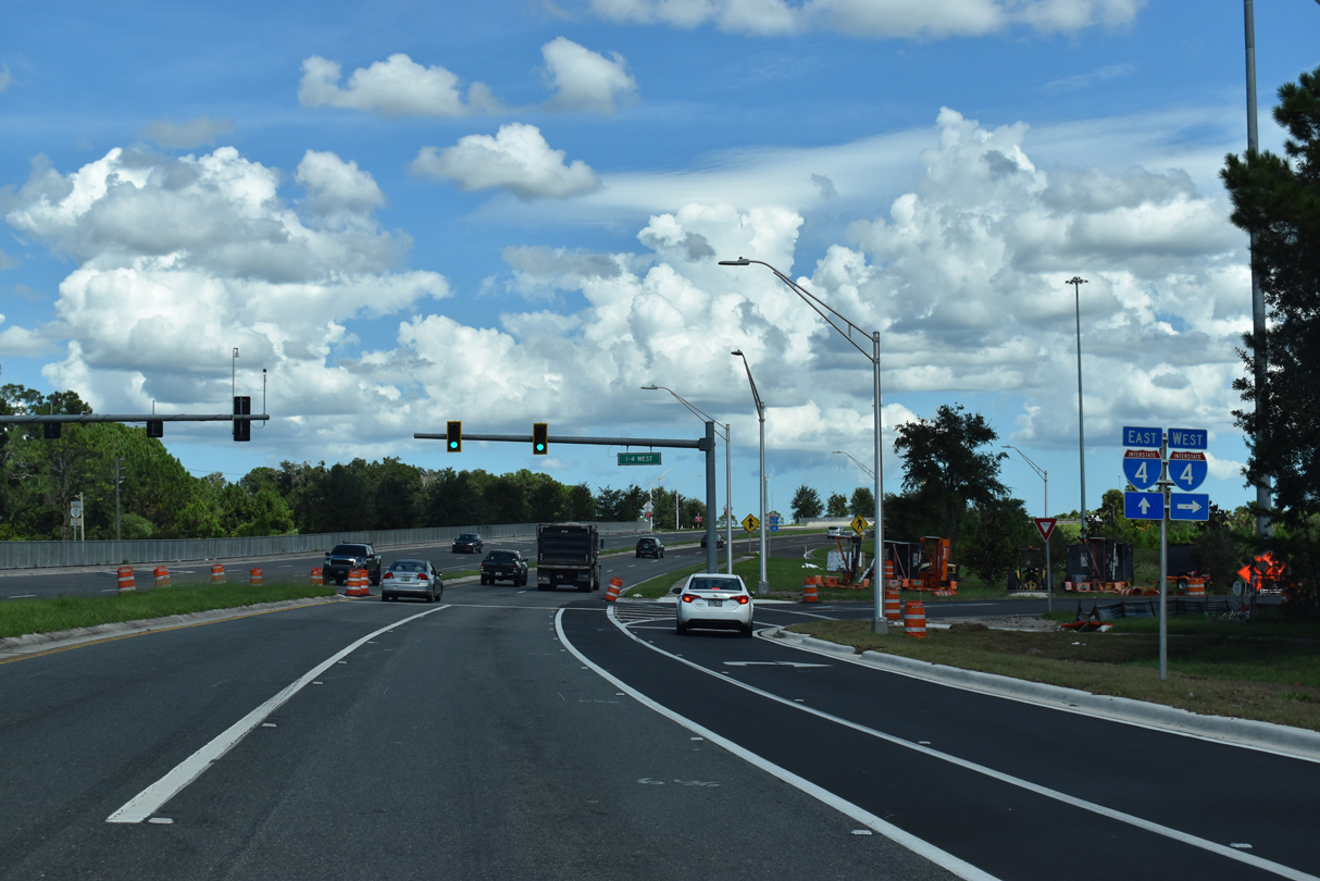
| Widening of I-4 in 2006-08 included expansion of the original parclo B2 interchange (Exit 118) with SR 44 into a six-ramp parclo by 2008. 09/12/22 |
|
| Interstate 4 travels generally from north to south from Daytona Beach to Orlando. The freeway west travels through Deltona and DeBary before crossing Lake Monroe into Sanford. 09/12/22 |
|
| SR 44 proceeds east across Interstate 4 toward the entrance ramp toward Daytona Beach and I-95. 09/12/22 |
|
| Entering the signalized intersection with the westbound on-ramp to I-4. The new exit ramp from I-4 west to SR 44 west opened in Summer 2008, eliminating the signal along SR 44 westbound here. 09/12/22 |
|
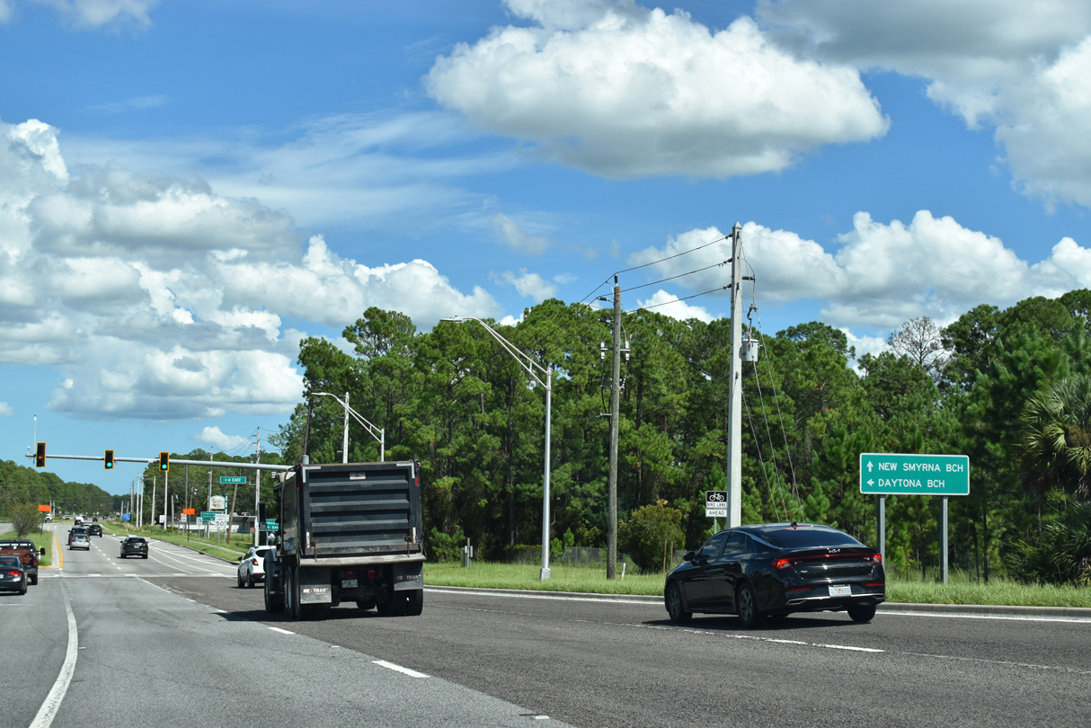
| The census-designated place of Samsula-Spruce Creek lies 12 miles east of DeLand via SR 44. 09/12/22 |
|
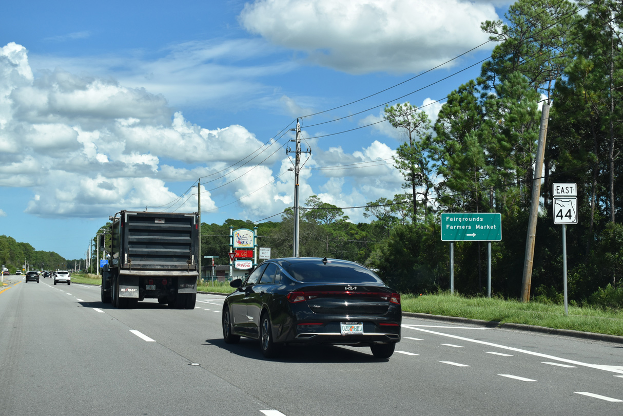
| SR 44 runs between the Volusia County Fairgrounds and DeLand Crossings Industrial Park just east of Interstate 4. 09/12/22 |
|
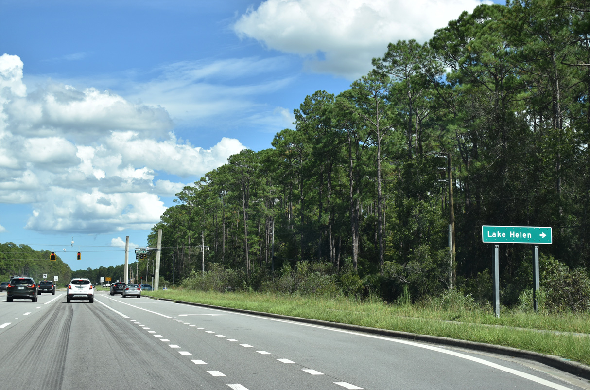
| Prevatt Avenue stems 3.39 miles south from SR 44 to Kicklighter Road and Lake Helen Osteen Road in the city of Lake Helen. 09/12/22 |
|
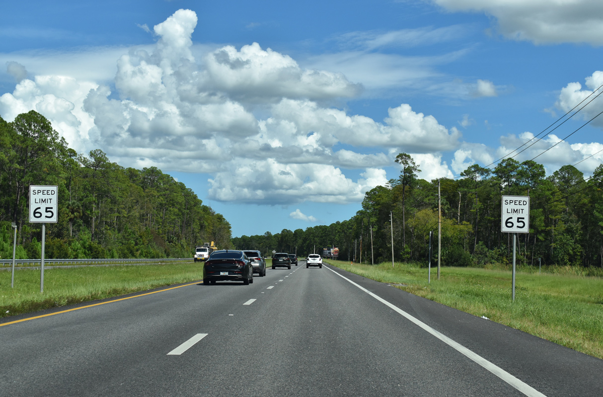
| Speeds increase to 65 miles per hour as SR 44 traverses rural areas ahead of Longleaf Pine Preserve. 09/12/22 |
|
| SR 44 traverses timberland and wetlands north of Akins Bay. 09/12/22 |
|
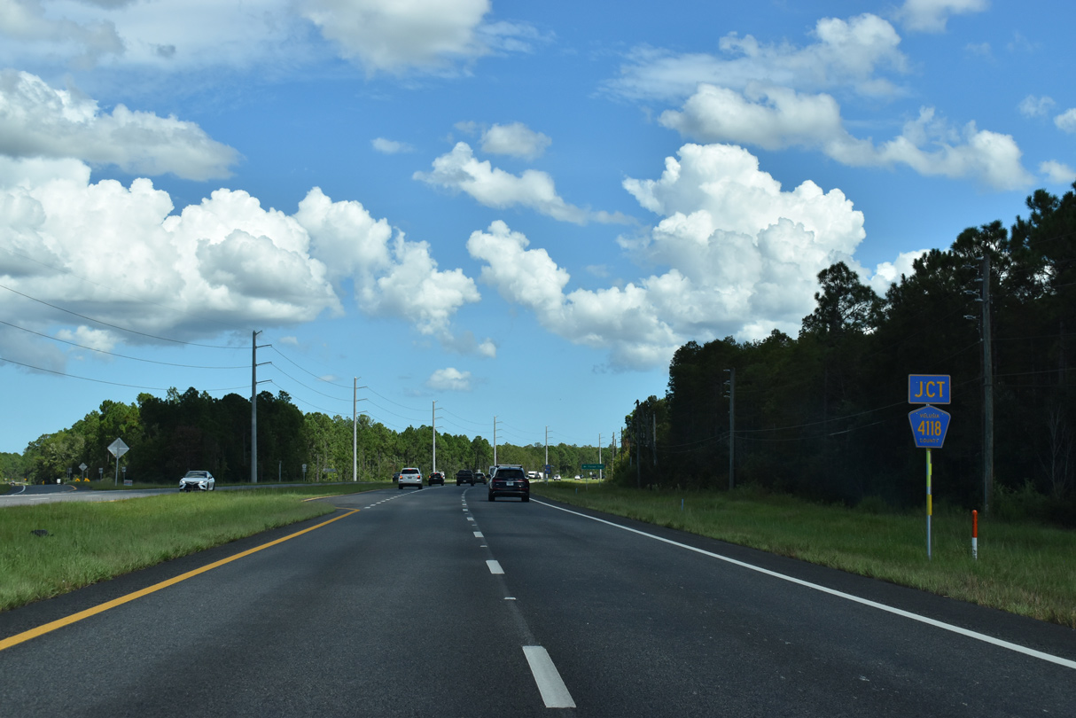
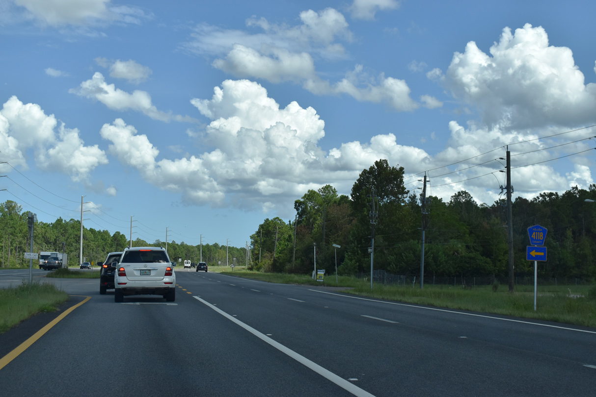
| CR 4118 branches east from SR 44 by Longleaf Pine Preserve. 09/12/22 |
|
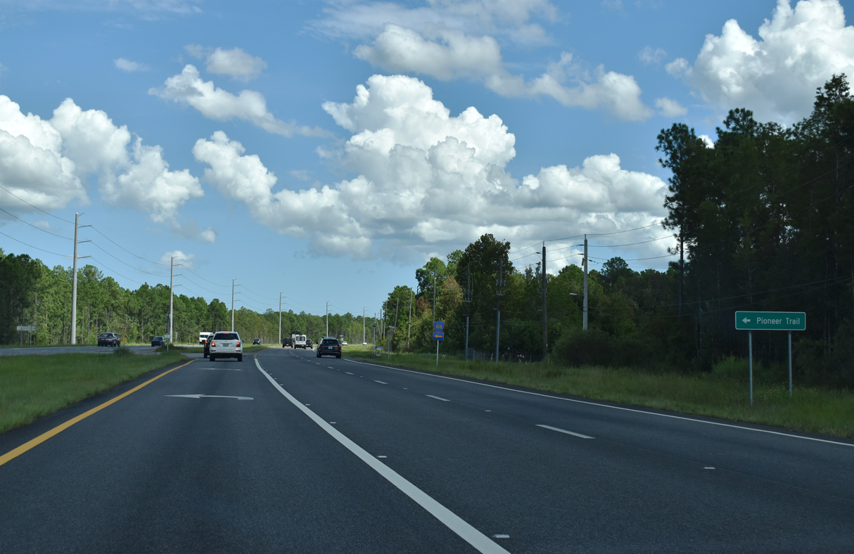
| Comprising a 13.05 mile long loop, CR 4118 (Pioneer Trail) runs east from SR 44 to SR 44 Business (Canal Street) in New Smyrna Beach. 09/12/22 |
|
| East of Interstate 95, SR 44 passes by an undeveloped 103 acre tract of land purchased by AdventHealth New Smyrna Beach in January 2020. The $16.5 million acquisition may accommodate a mix of healthcare services in the future.1 12/20/06 |
|
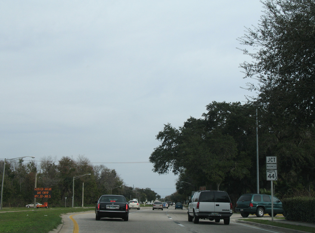
| Since removed, an overhead referenced the forthcoming separation of SR 44 Business (Canal Street) from SR 44 (Lytle Avenue) east of Mission Drive / Wallace Road. 12/20/06 |
|
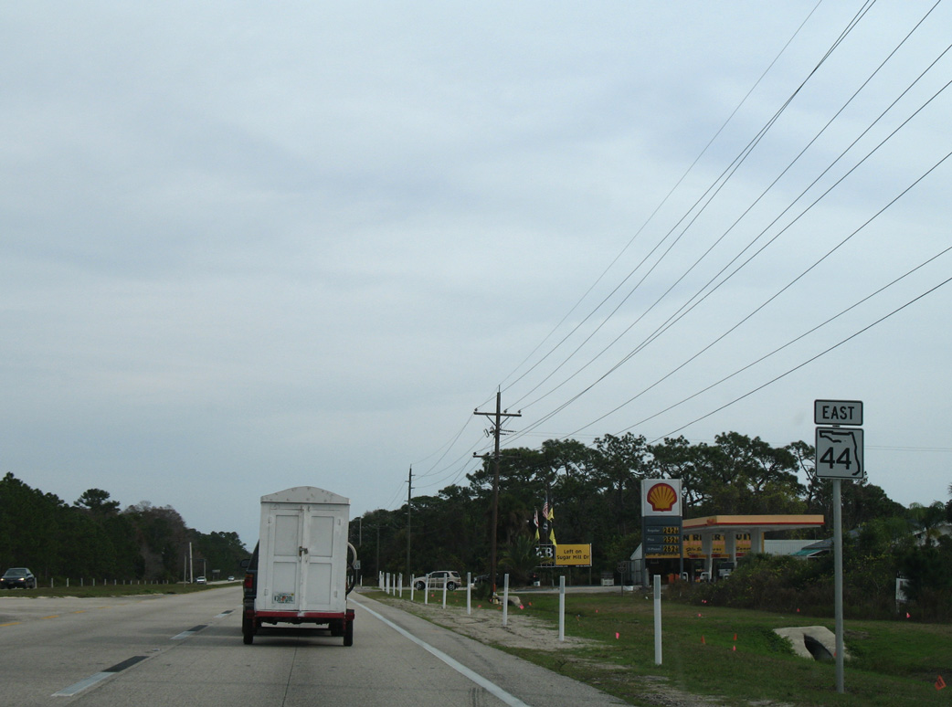
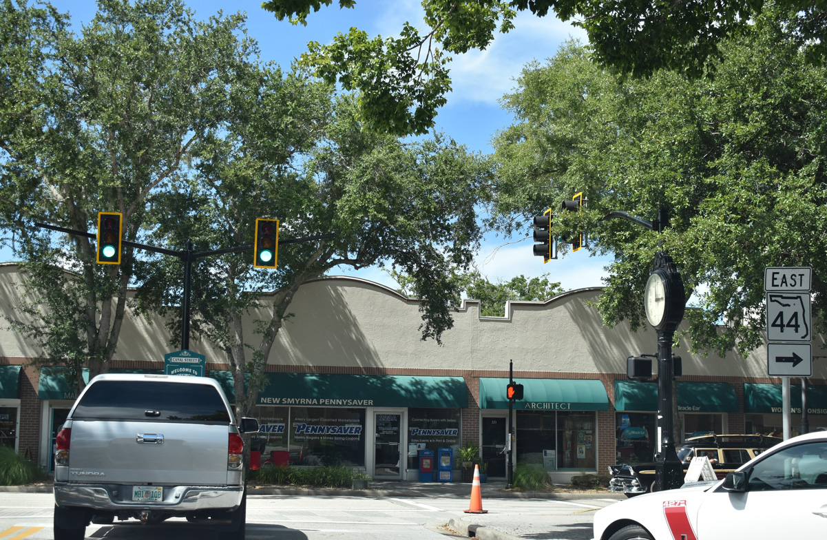
| SR 44 transitions onto Lytle Avenue, which bypasses Downtown New Smyrna Beach to the south with four lanes. SR 44 Business follows the older route along Canal Street northeast. 12/20/06 |
|
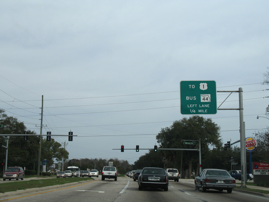
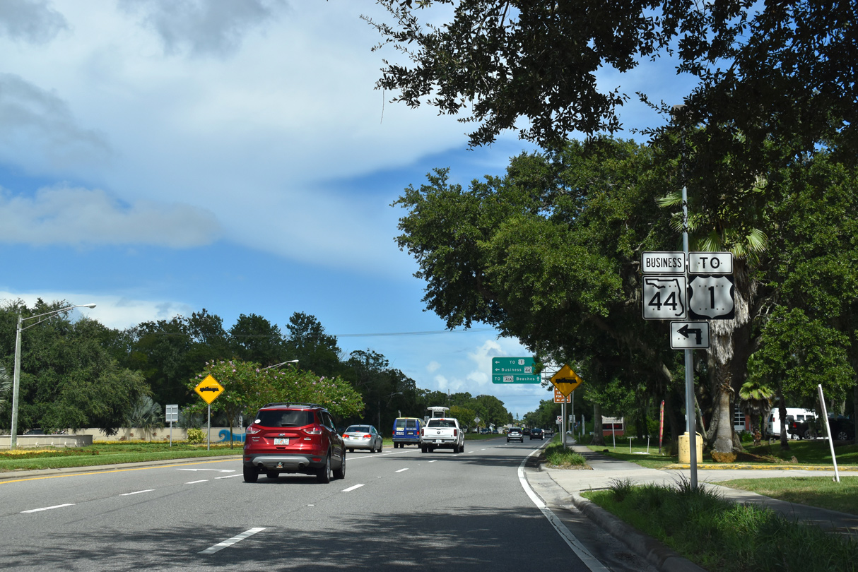
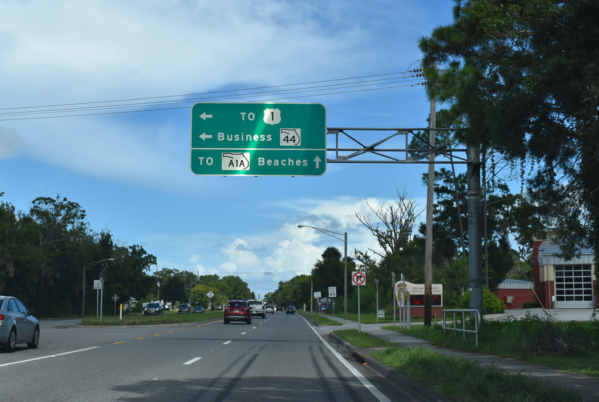
| SR 44 Business (Canal Street) connects SR 44 eastbound with U.S. 1 (S Dixie Freeway). SR 44 (Lytle Avenue) spans U.S. 1 ahead with no direct access. 09/08/18 |
|
| Installed in 2007, this overhead at SR 44 Business replaced the one posted back at Mission Drive. SR 44 Business travels 0.93 miles to U.S. 1 west of Downtown New Smyrna Beach. 09/08/18 |
|
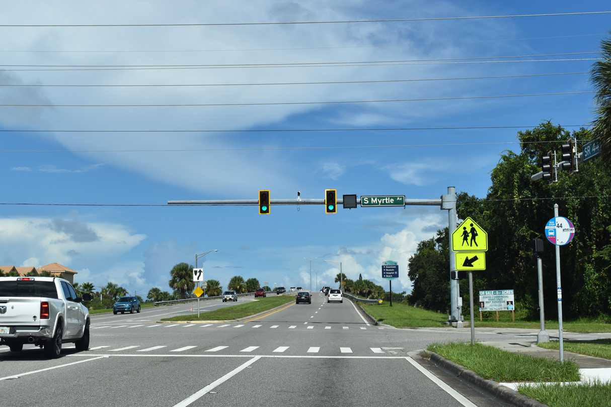
| Myrtle Avenue links SR 44 (Lytle Avenue) with SR 44 Business (Canal Street) just ahead of the overpass spanning the Florida East Coast (FEC) Railroad and U.S. 1 (Dixie Freeway). 09/08/18 |
|
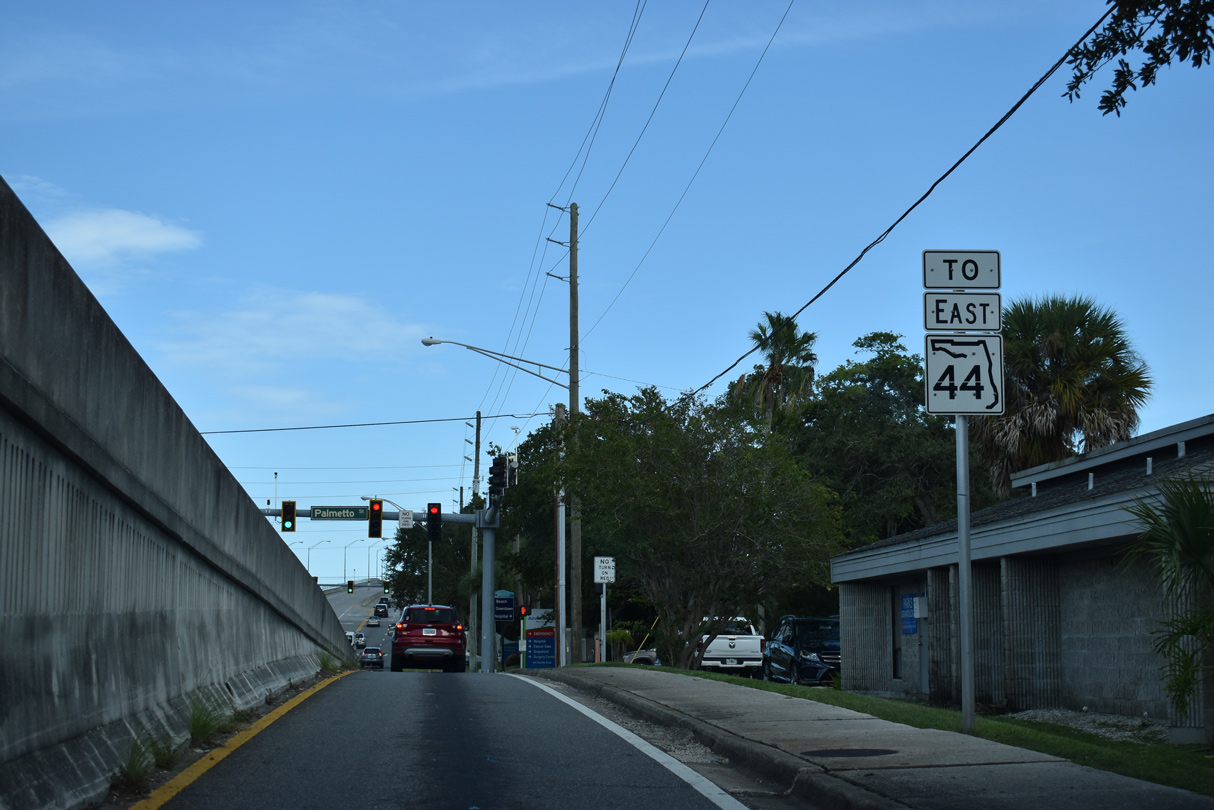
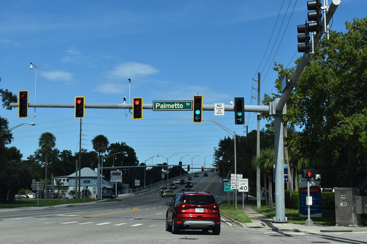
| Lowering from the overpass spanning the FEC Railroad and U.S. 1, SR 44 (Lytle Avenue) intersects Palmetto Street. Ramps ties into the five lane boulevard from U.S. 1 here. 09/12/22 |
|
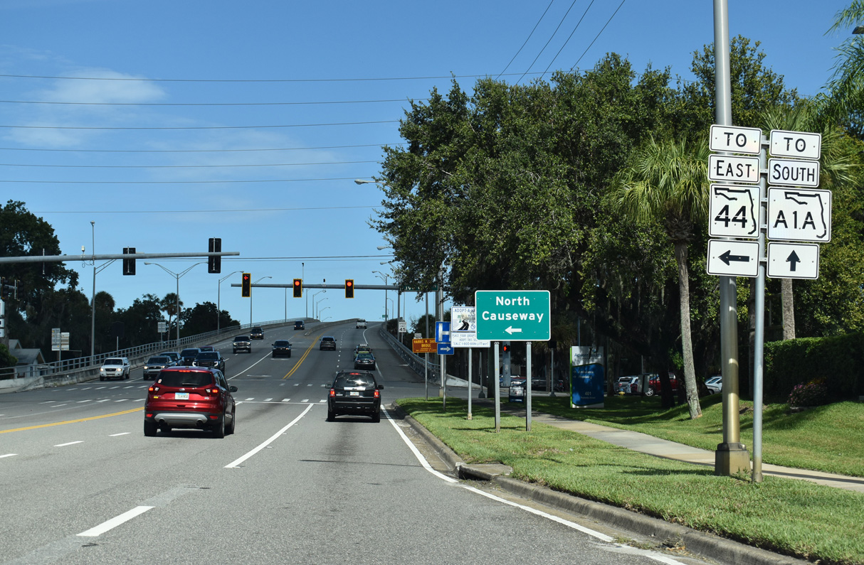
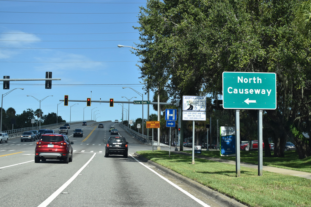
| Lytle Avenue transitions from SR 44 to SR A1A at Live Oak Street south of Downtown New Smyrna Beach. The 2.08 mile long segment of SR A1A spanning the Intracoastal Waterway leads east to S Atlantic Avenue (CR A1A) at E 6th Avenue. 09/12/22 |
|
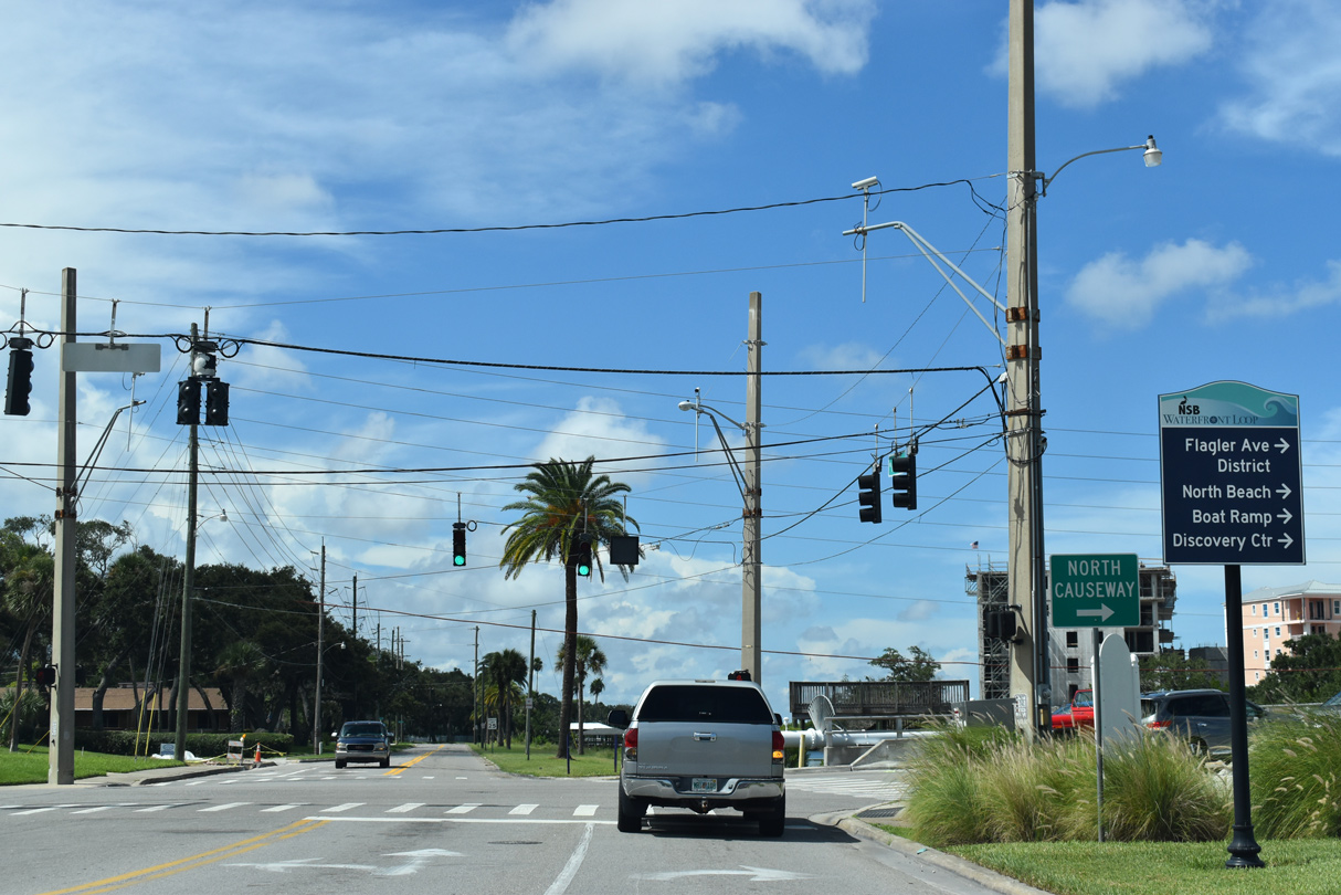
| SR A1A ascends onto the Harris M. Saxon Bridge to the immediate east of Live Oak Street. The eastern leg of SR 44 lines parallel North Causeway 1.44 miles east from Riverside Drive to Peninsula Avenue. 09/12/22 |
|
| SR 44 formerly turned north three blocks to Canal Street, where it dog legged east to North Causeway via Riverside Drive. 09/08/18 |
|
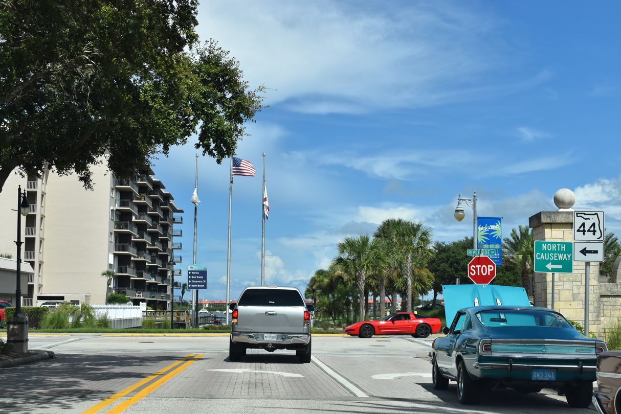
| Canal Street concludes two blocks east of Live Oak Street at S Riverside Drive adjacent to Riverside Park. SR 44 followed Riverside Drive north two blocks to Washington Street. 09/08/18 |
|
| SR 44 and North Causeway extend east from Washington Street onto a pair of islands along the Indian River North. 09/08/18 |
|
| Barracuda Boulevard south and Boat Yard Street north tie into a signalized intersection around the midpoint of North Causeway. 09/08/18 |
|
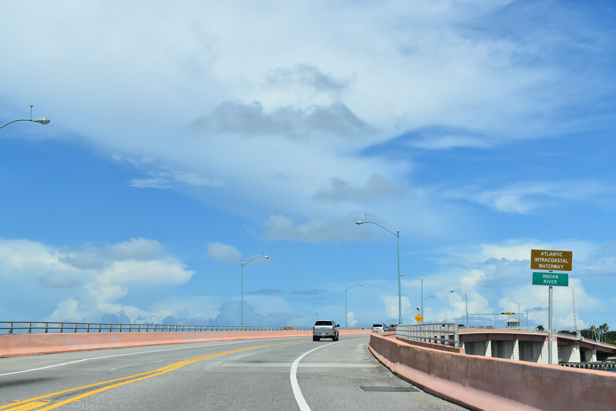
| SR 44 (N Causeway) arcs eastward from Desoto Drive across Indian River North / Intracoastal Waterway. 09/08/18 |
|
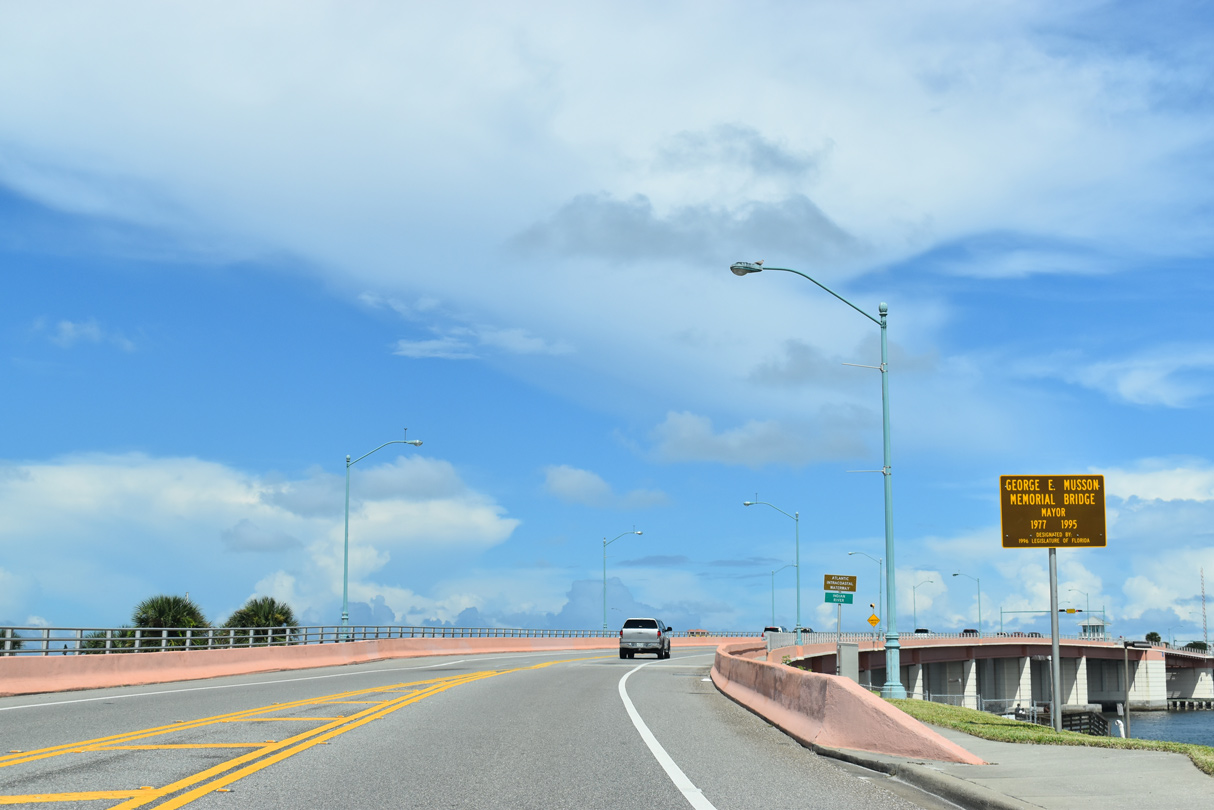
| The George E. Musson Memorial Bridge takes SR 44 (North Causeway) east across the Indian River North to the intersection of Flagler Avenue and Peninsula Avenue. 09/08/18 |
|
| The deck plate girder bascule bridge across the Intracoastal Waterway along SR 44 was built in 1997. The 1,303 foot long span crests at 17.9 feet.2 09/08/18 |
12/20/06, 12/30/06, 03/21/08, 04/29/08, 05/12/08, 05/13/08, 09/08/18, 09/12/22 by AARoads
Page Updated 11-11-2022.

 East
East