|
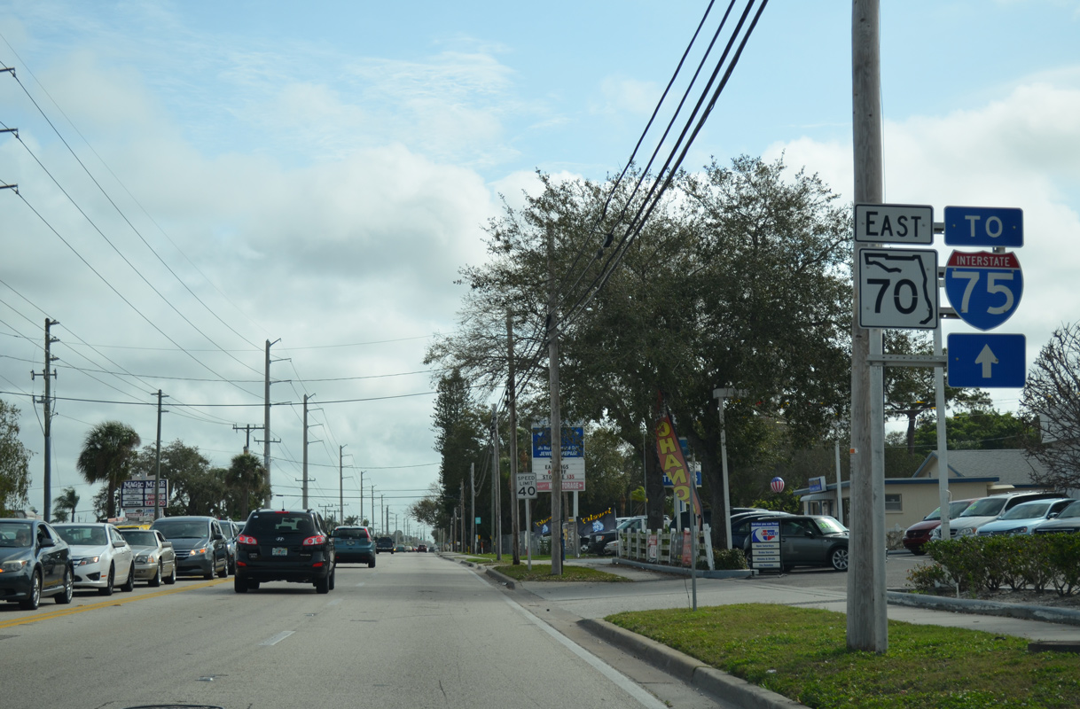
| The first confirming marker for SR 70 east appears just after U.S. 41 at Oneco. 02/21/14 |
|
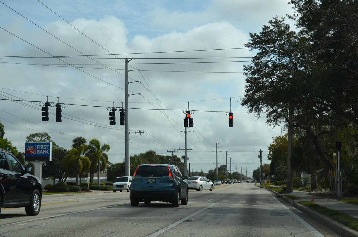
| The span wire array of traffic lights at SR 70 and 5th Street W was changed to mast arms in 2015. 02/21/14 |
|
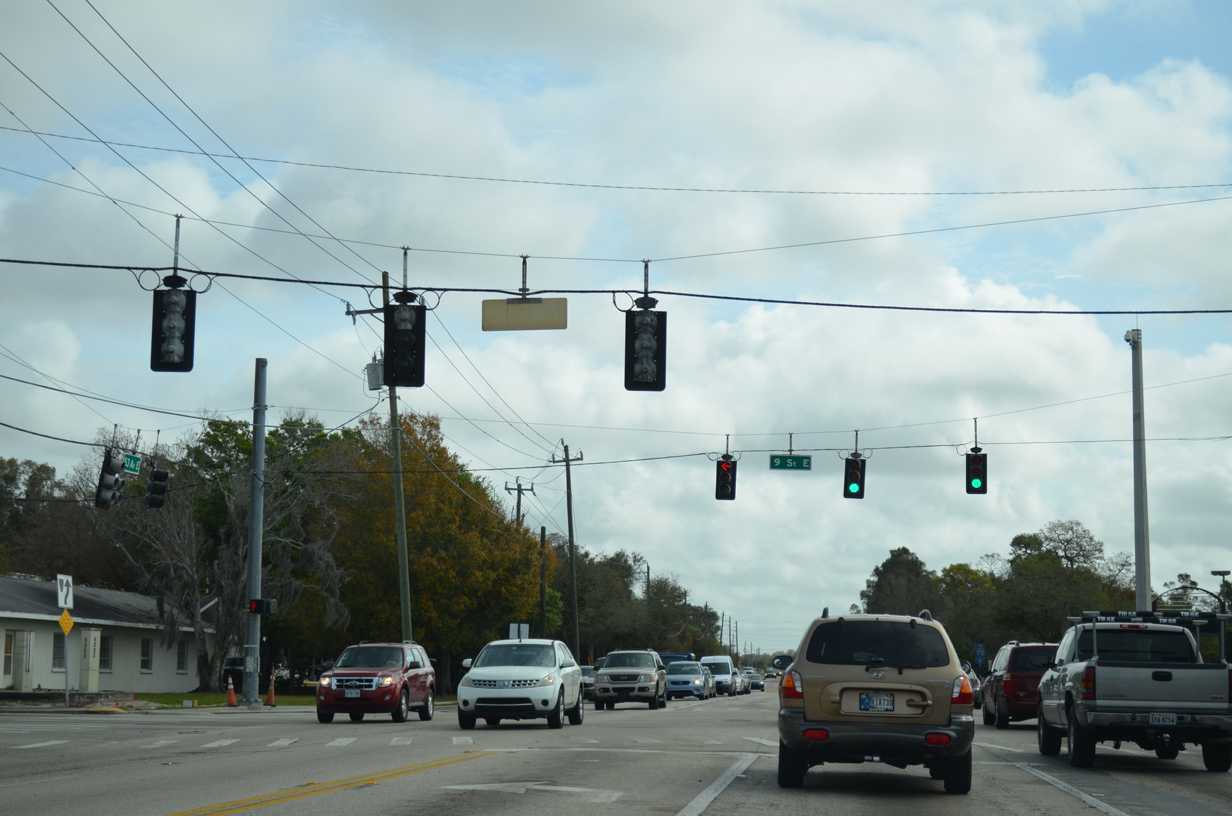
| SR 70 (53rd Avenue E) east at 9th Street E. These signals were replaced in 2015. 02/21/14 |
|
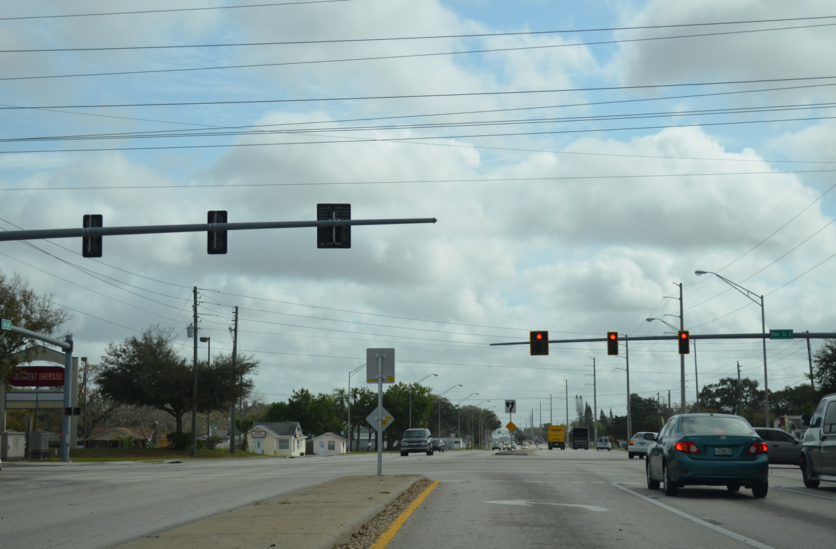
| 15th Street E represents the north branch of SR 70 leading from 53rd Avenue E to SR 64 (Manatee Avenue) in Bradenton. 02/21/14 |
|
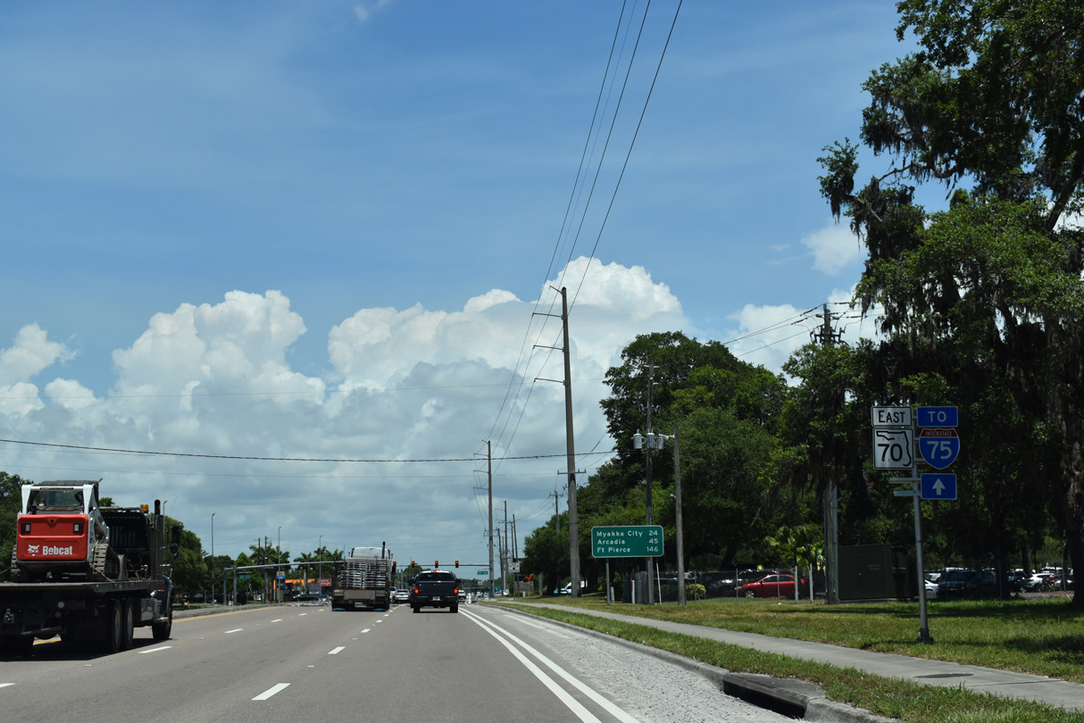
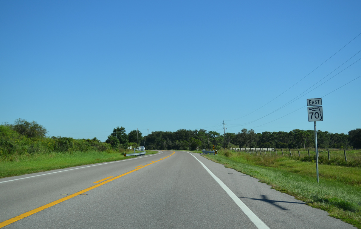
| Confirming marker posted east of U.S. 301. 06/11/21 |
|
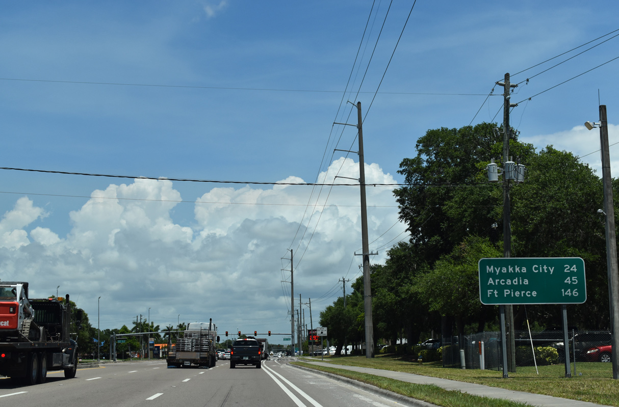
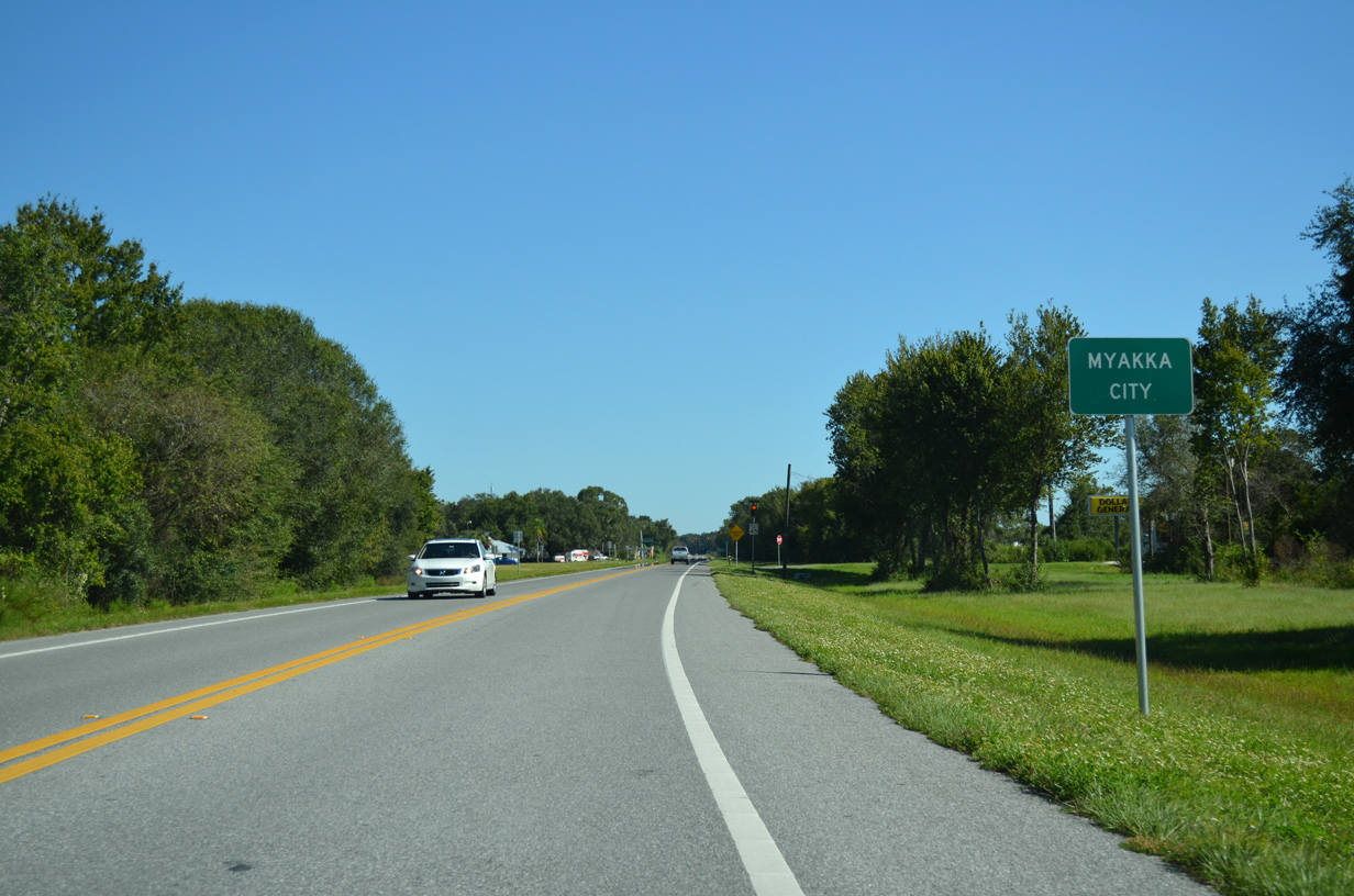
| Located 24 miles east of U.S. 301 along SR 70, Myakka City lies well beyond Lakewood Ranch in rural eastern Manatee County. 06/11/21 |
|
| Passing by the last of the Panther Ridge developments, SR 70 proceeds east from CR 675 (Waterbury Road) 10/17/14 |
|
| The settlement of Verna lies along SR 70 adjacent to the Sarasota County line at Verna-Bethany Road. 10/17/14 |
|
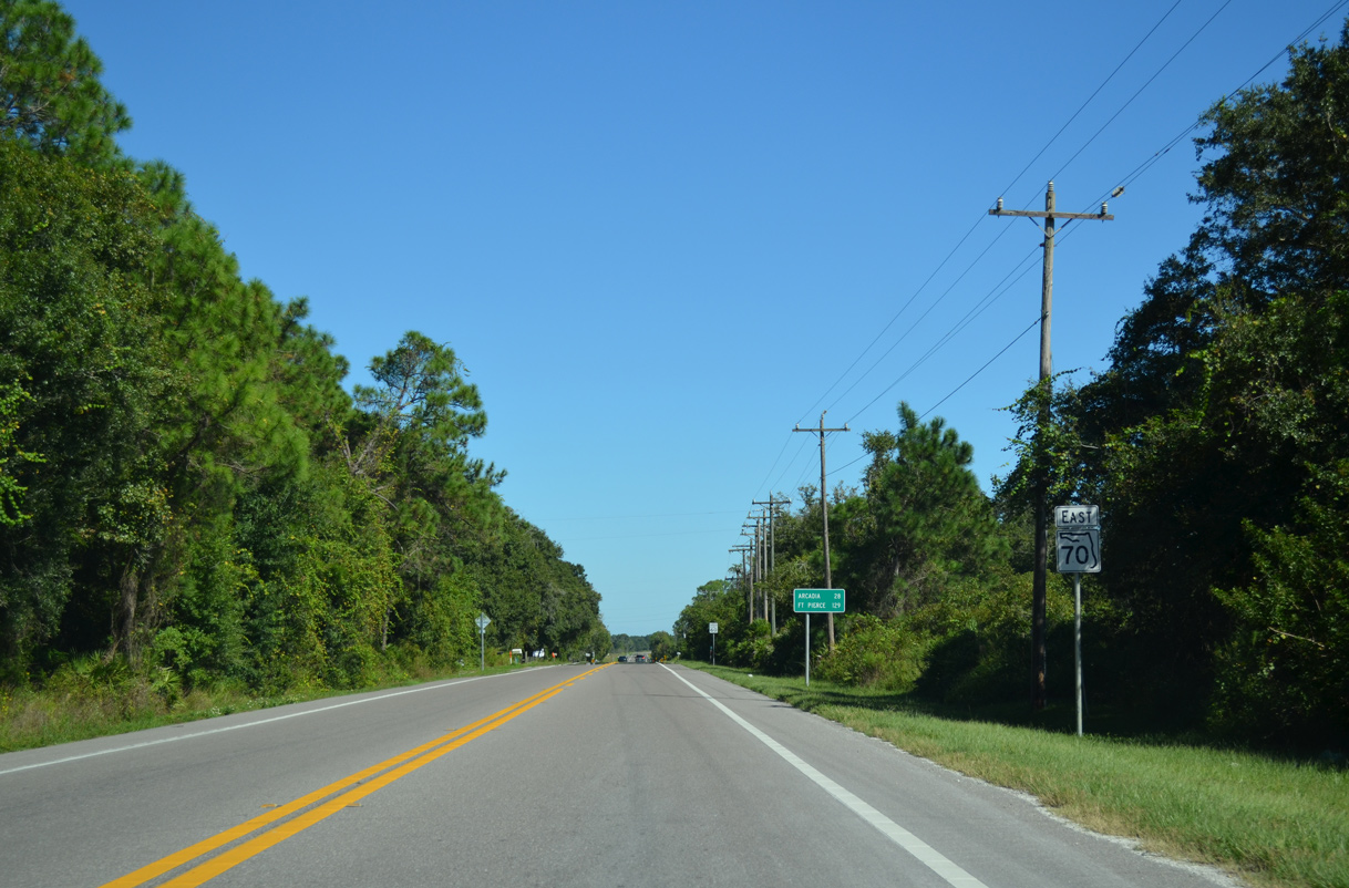
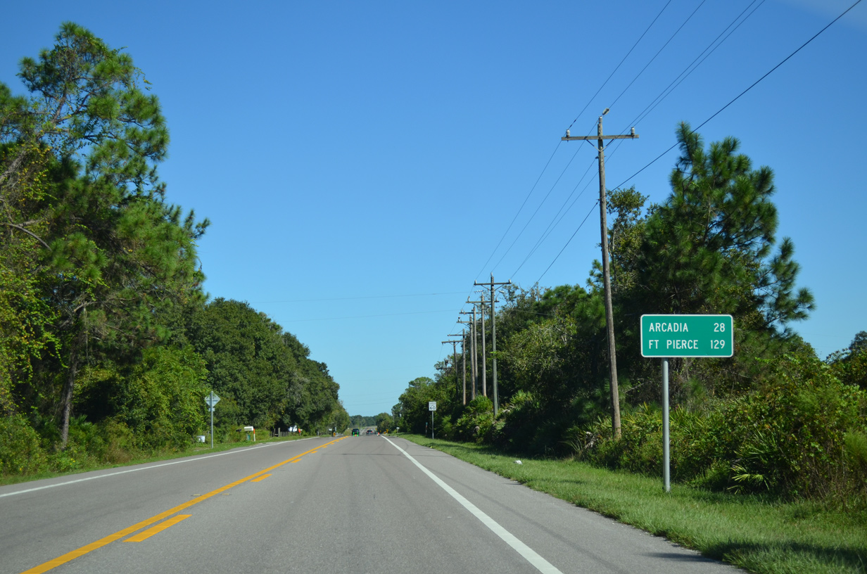
| Heading east from Verna Road and Verna, SR 70 travels 28 miles to Arcadia. This distance sign was taken down by 2018. 10/17/14 |
|
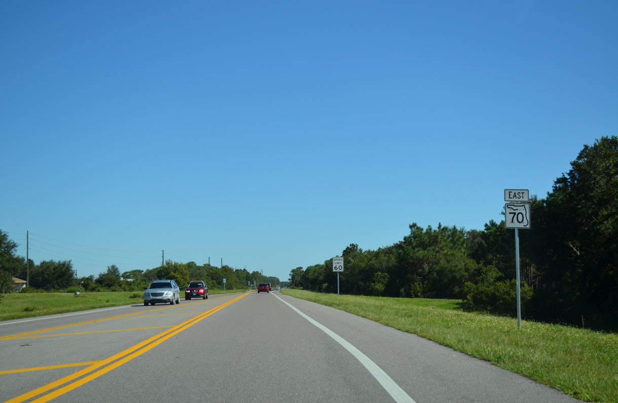
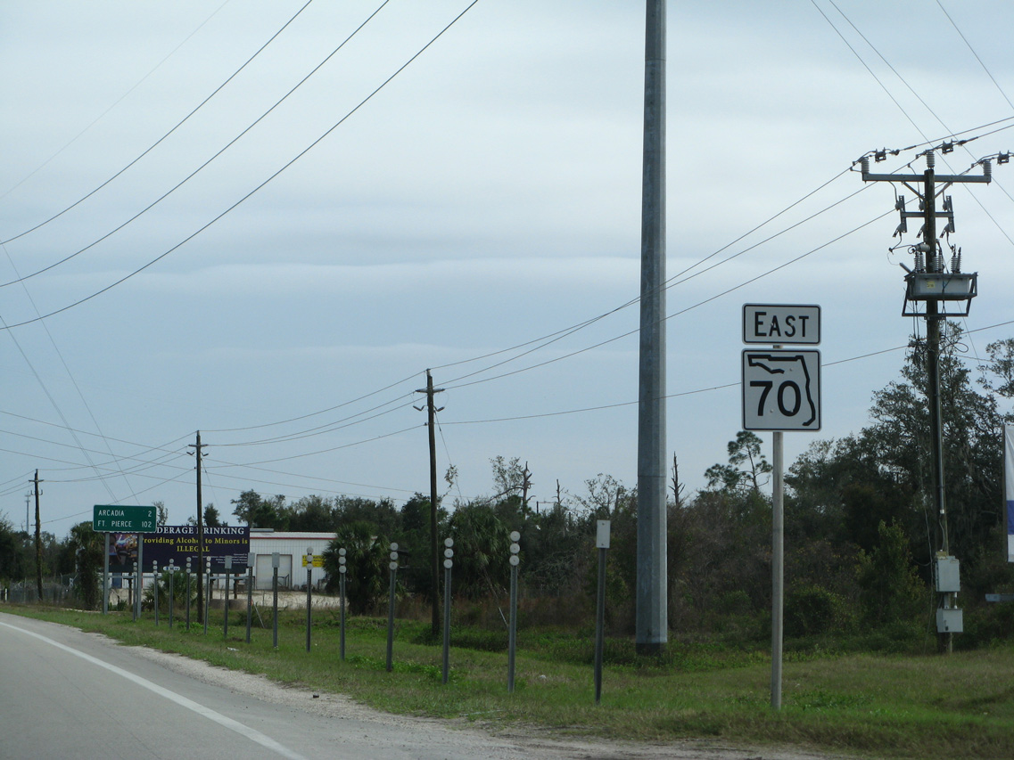
| Reassurance marker posted east of Parmalee. 10/17/14 |
|
| Entering the rural community of Myakka City. 10/17/14 |
|
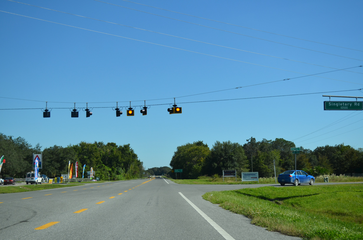
| Singletary Road north and Wauchula Road south come together at SR 70 in Myakka City. Wauchula Road leads north to SR 64 at Myakka Head. 10/17/14 |
|
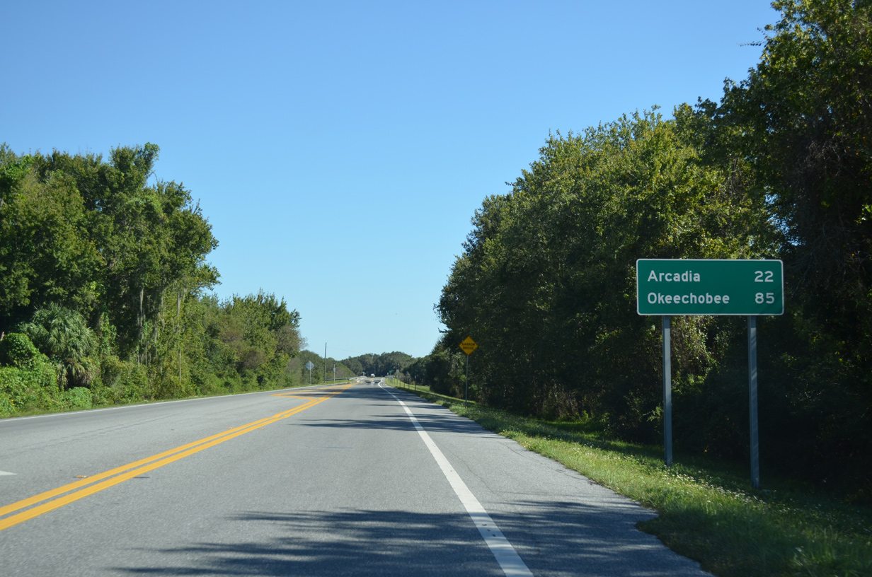
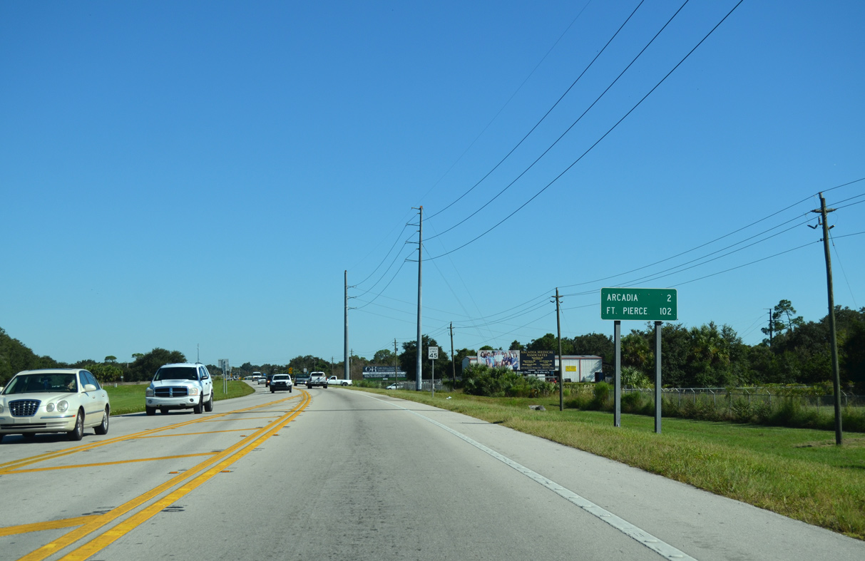
| Arcadia is 22 miles east of Myakka City via State Road 70. The predecessor to this sign listed Arcadia at 21 miles and Ft. Pierce at 121 miles. 10/17/14 |
|
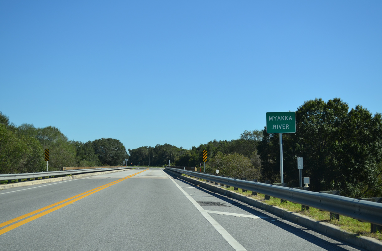
| The Myakka River flows southeast of Myakka City. SR 70 crosses the waterway along a bridge dating back to 1965. 10/17/14 |
|
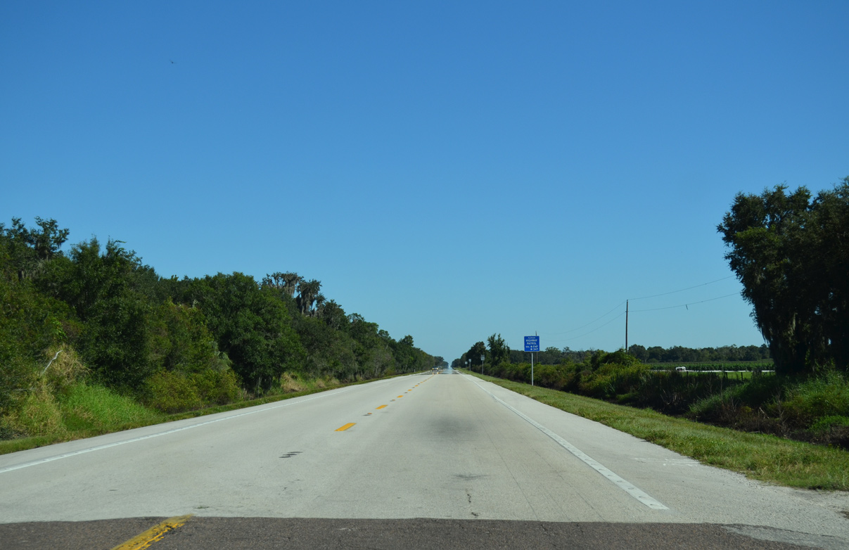
| SR 70 reassurance marker posted east of the Myakka River at Carlton Road. Carlton Road is part of the old alignment of Bradenton-Arcadia Road that once crossed the river to the north. 10/17/14 |
|
| SR 70 crosses the Desoto County line east of Edgeville and Dog Pond at County Line Road. 10/17/14 |
|
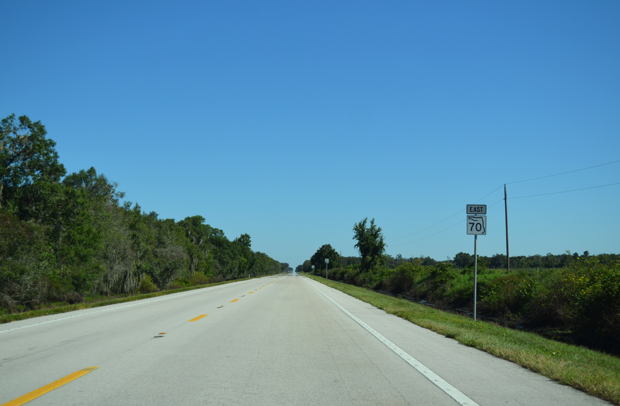
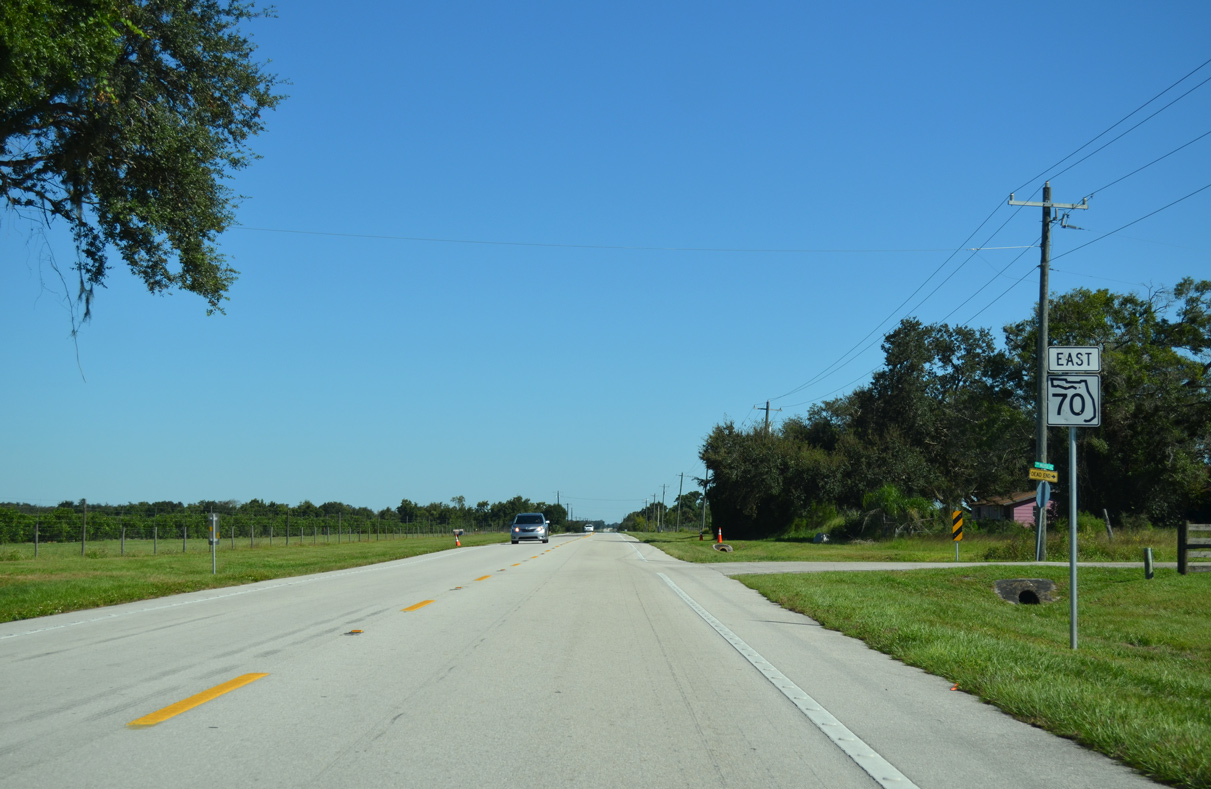
| SR 70 bee lines southeast from County Line Road toward Pine Level and Horse Creek. 10/17/14 |
|
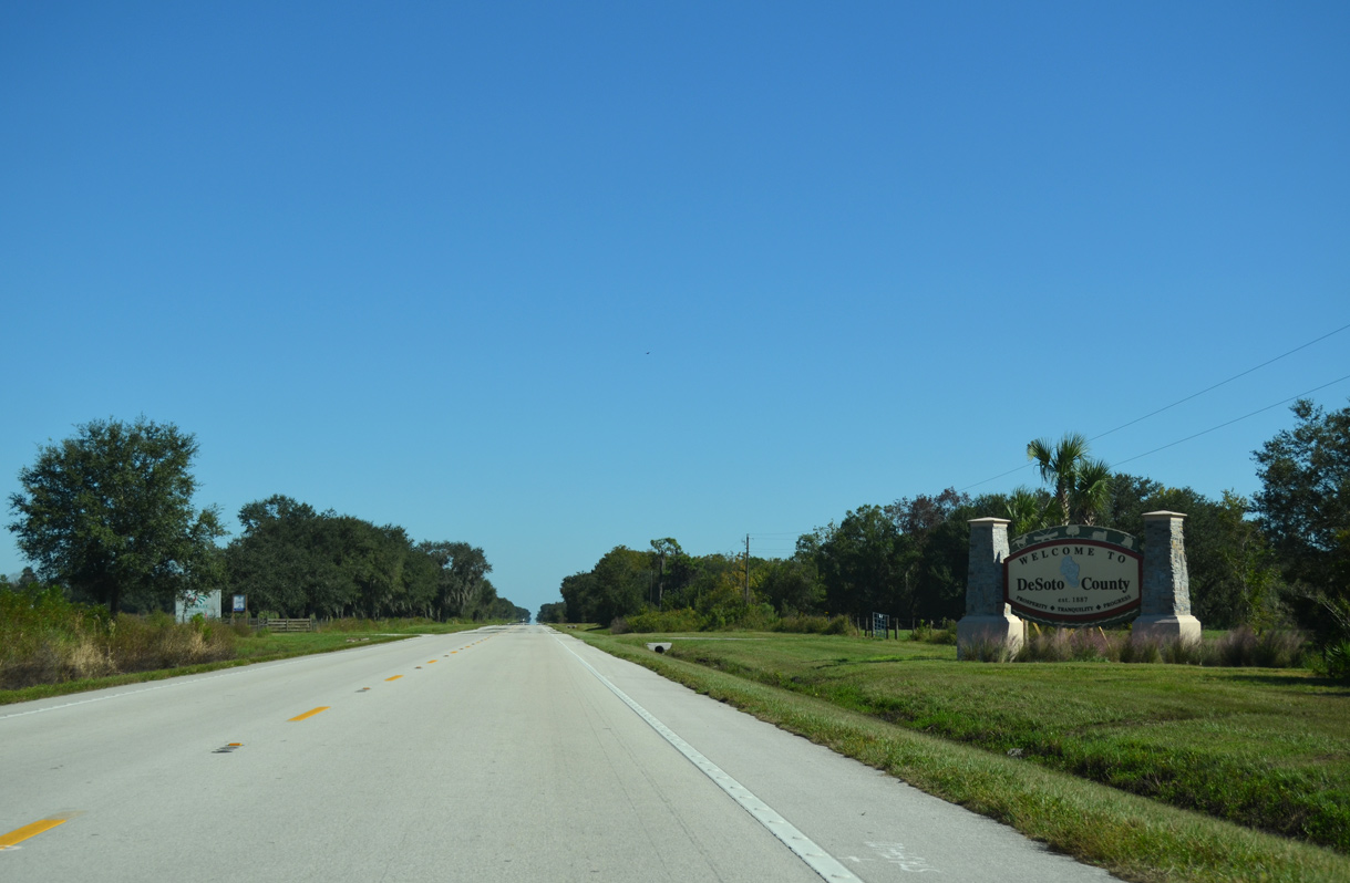
| Desoto County welcome sign 10/17/14 |
|
| SR 70 east intersects NW Florida Avenue at the settlement of Pine Level. 10/17/14 |
|
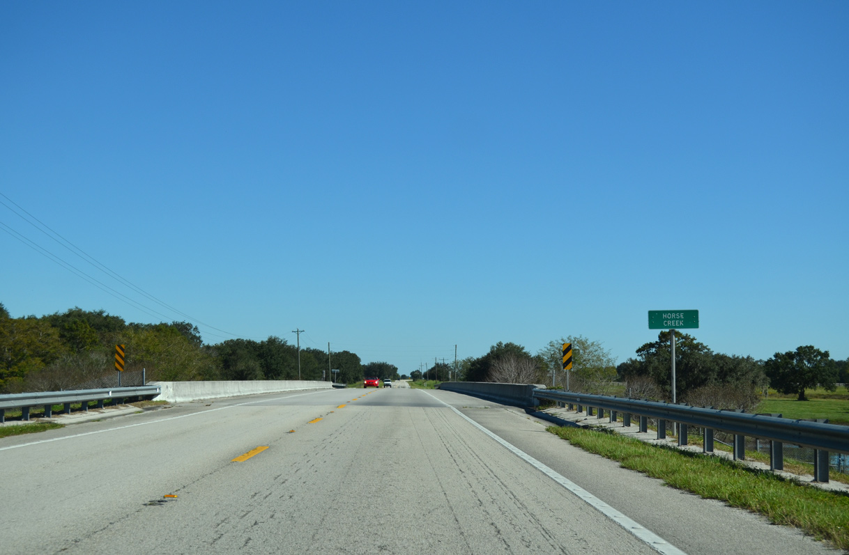
| Crossing Horse Creek on a bridge built in 2001. 10/17/14 |
|
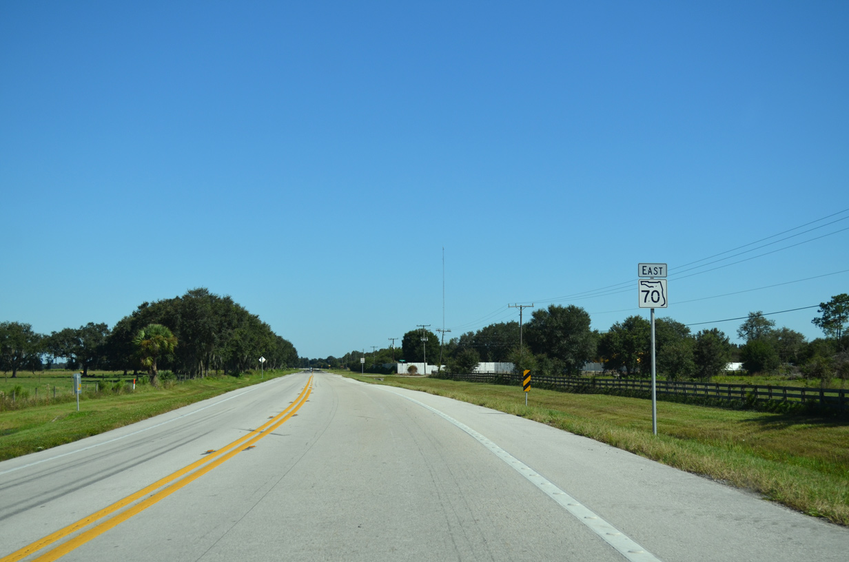
| SR 70 east at Haile Dean Road. 10/17/14 |
|
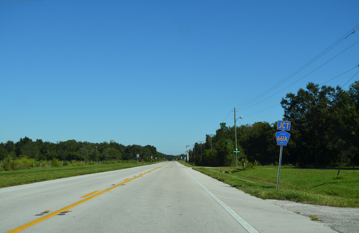
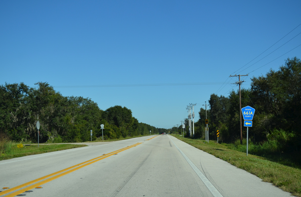
| County Road 661A spurs 1.76 miles north from SR 70 to Coker Street west of Lansing. 10/17/14 |
|
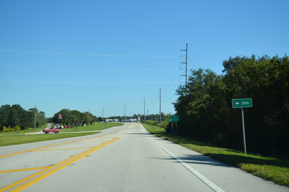
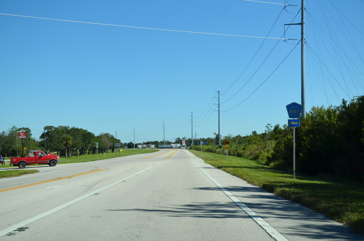
| County Road 661 stems 9.73 miles north from SR 70 to CR 663 at Limestone. CR 663 leads from there 8.14 miles to SR 64 at Ona. 10/17/14 |
|
| CR 661 travels 19.06 miles overall from SR 70 to SR 62 at Oak Grove. 10/17/14 |
|
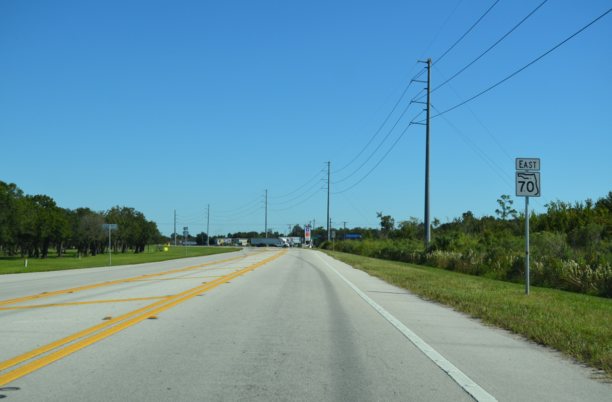
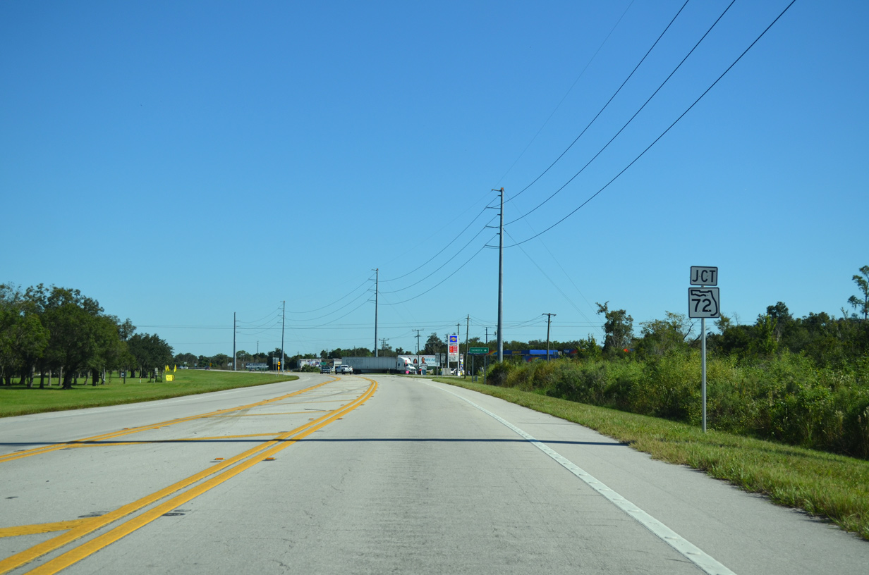
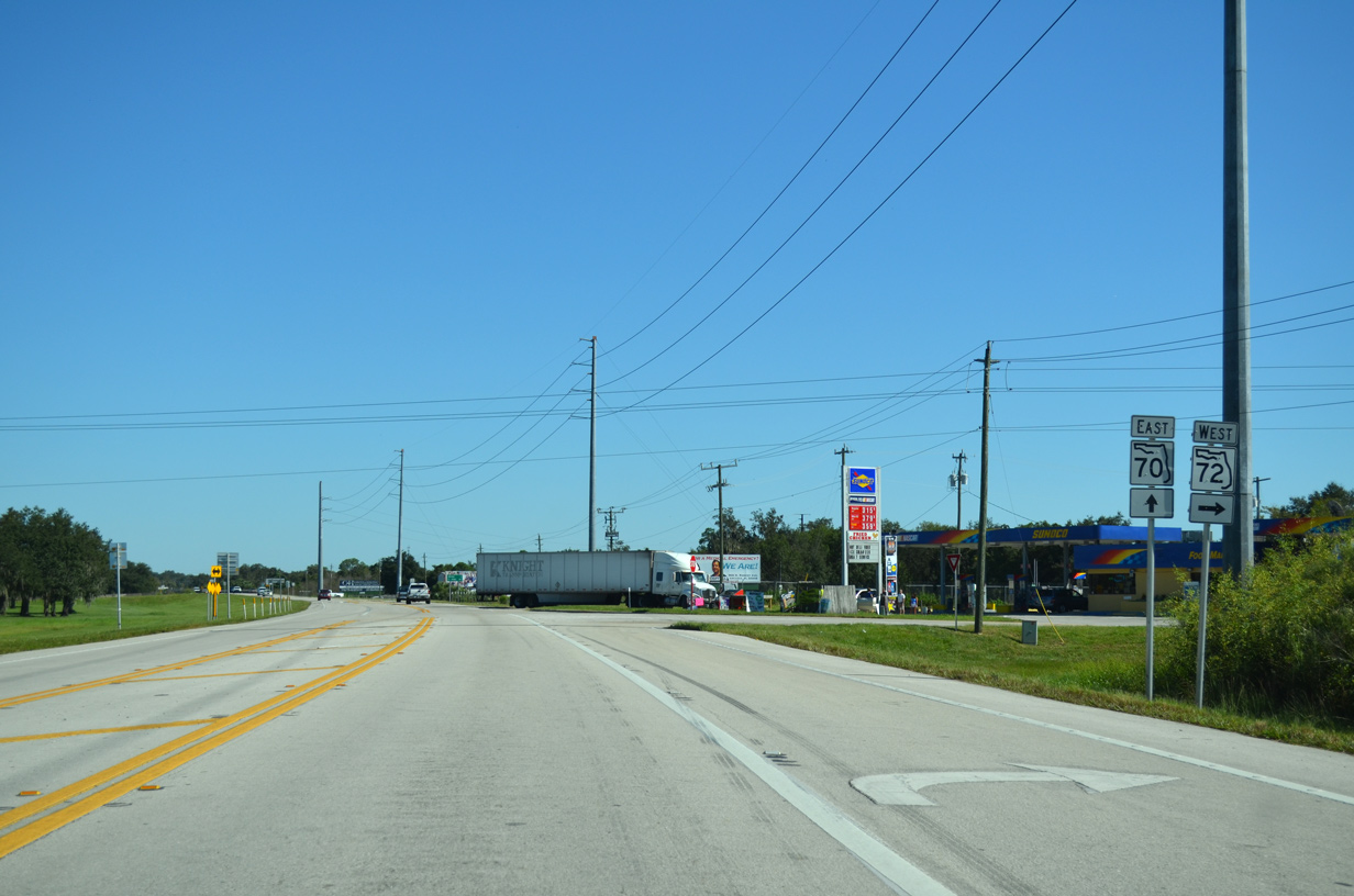
| SR 70 next converges with the east end of SR 72. 10/17/14 |
|
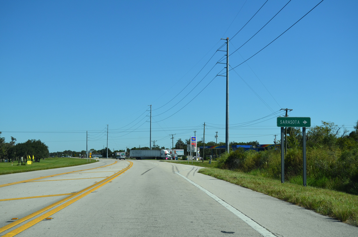
| State Road 72 constitutes a 41.58 mile long route from Arcadia west toward Sarasota and Siesta Key. 10/17/14 |
|
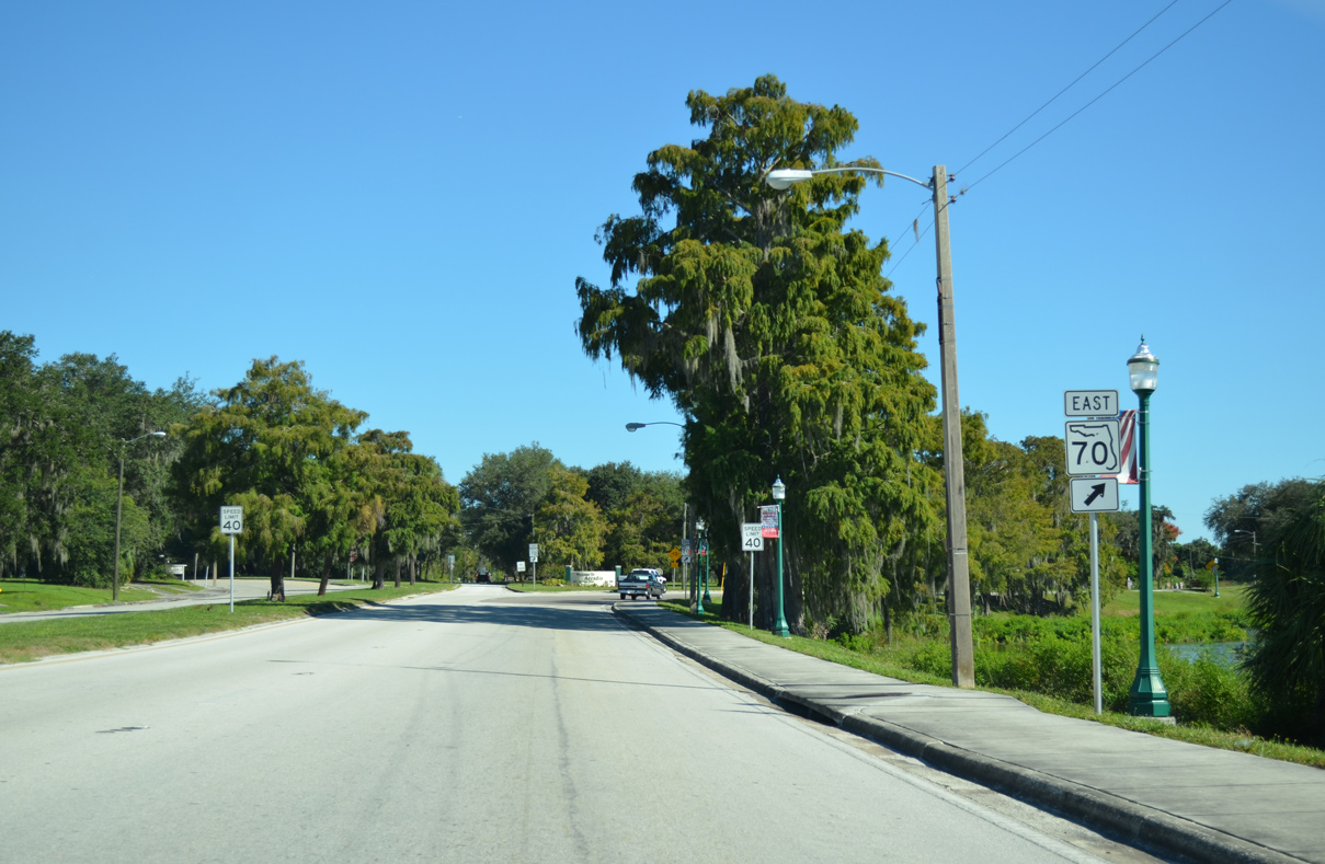
| East from SR 72, SR 70 reaches Downtown Arcadia in two miles. 01/02/07, 10/17/14 |
|
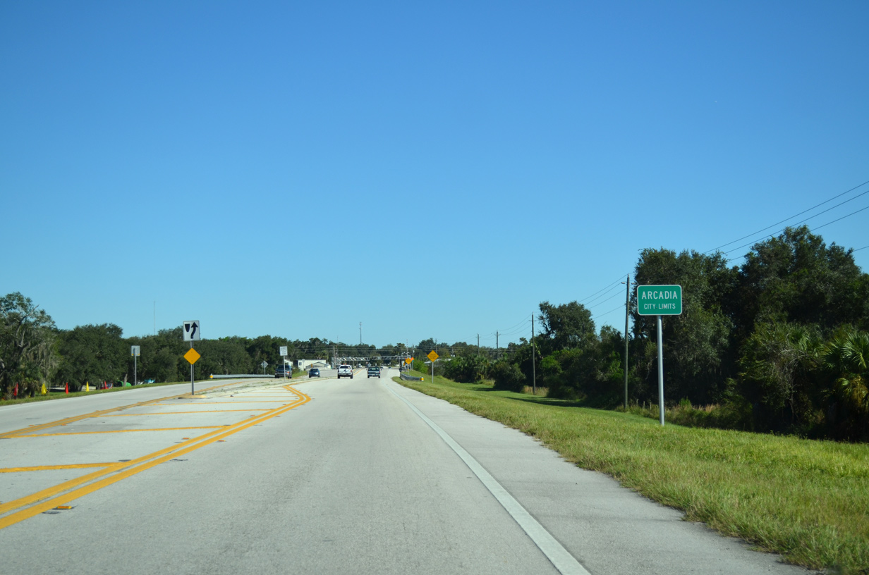
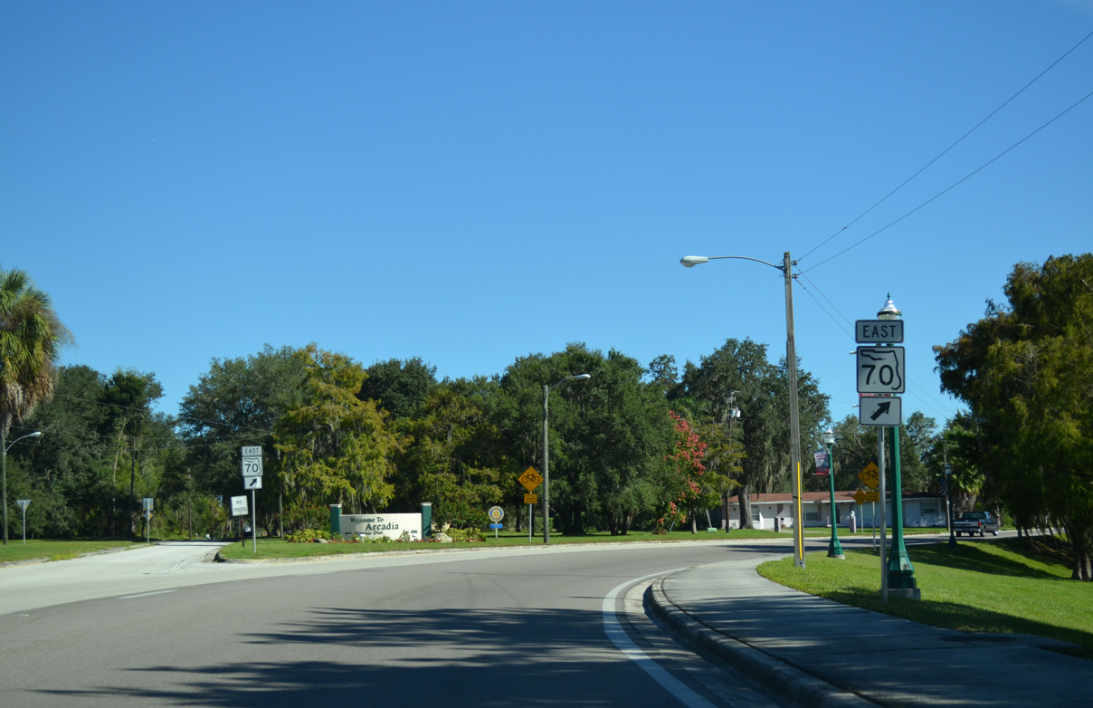
| The Arcadia city limits extend west of the Peace River along SR 70. 10/17/14 |
|
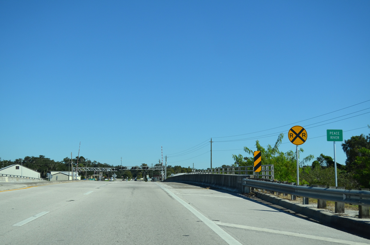
| SR 70 widens to four lanes across the Peace River. At-grade crossings with the CSX and Seminole Gulf Railroad lines follow. 10/17/14 |
|
| SR 70 (Oak Street) splits into a one way couplet through Arcadia by Lake Katherine. 10/17/14 |
|
| Eastbound SR 70 follows Magnolia Street two blocks south of westbound along Hickory Street. 10/17/14 |
|
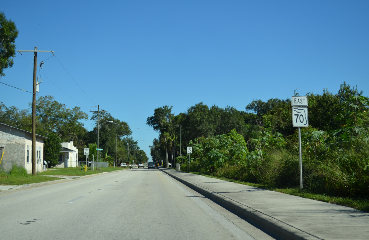
| SR 70 (Magnolia Street) east at Robinson Court. 10/17/14 |
|
| SR 70 east at Monroe Avenue and the Arcadia historic district. 10/17/14 |
|
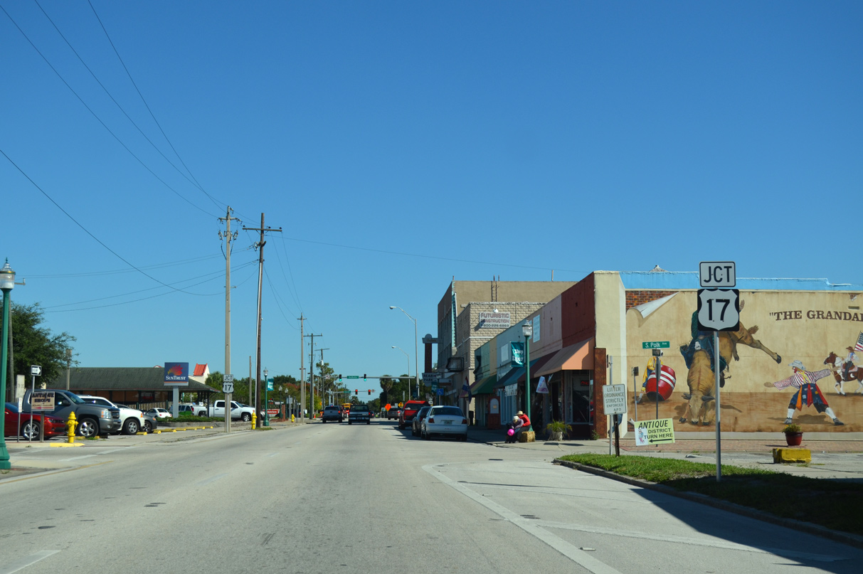
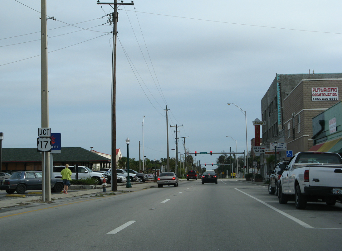
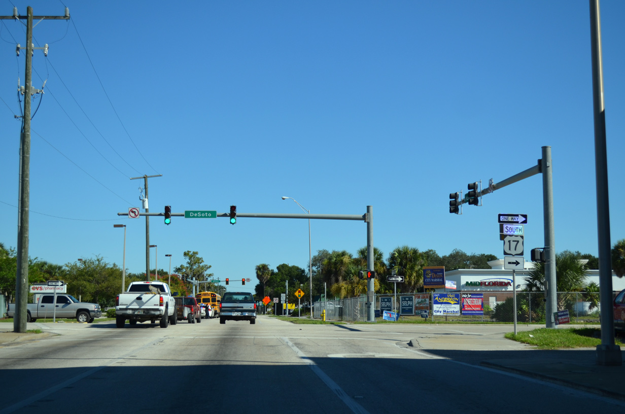
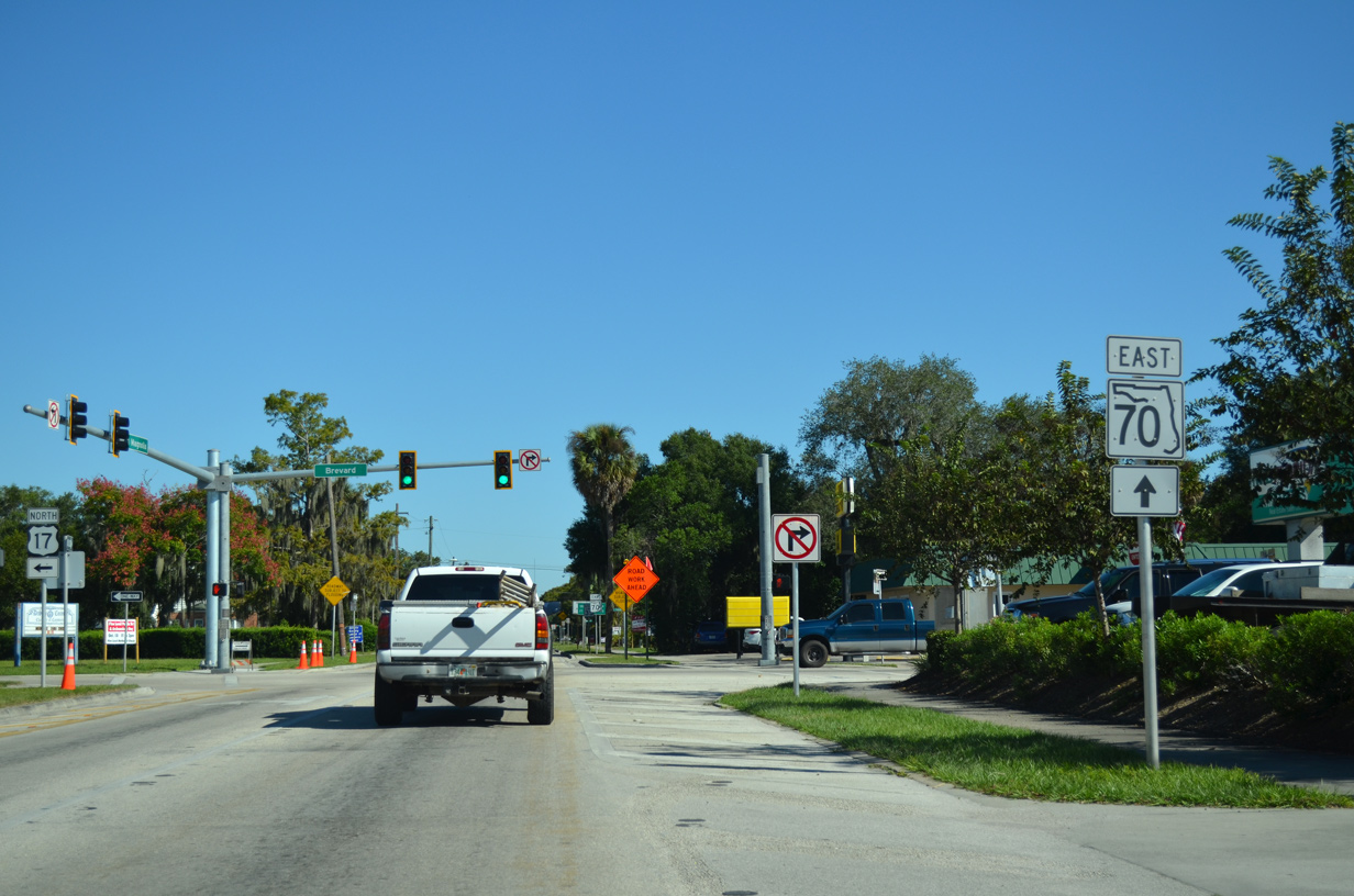
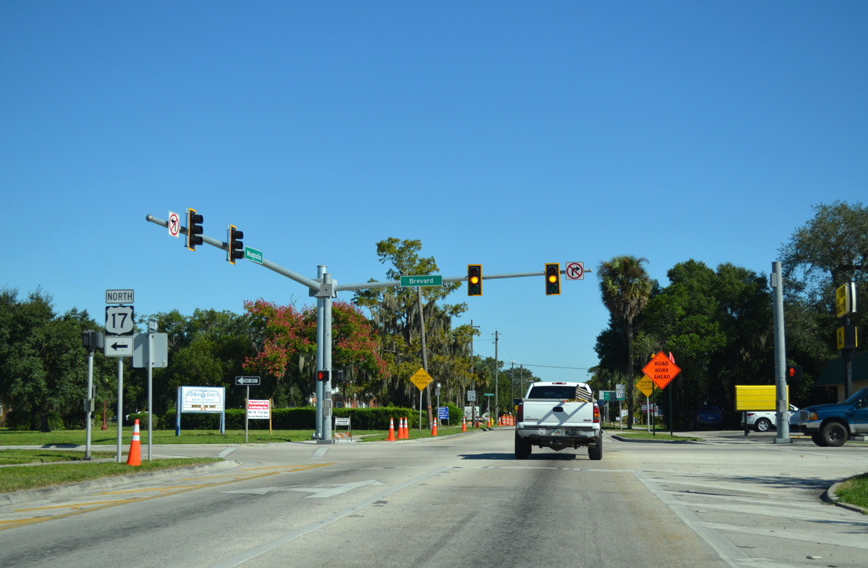
| U.S. 17 meets SR 70 (Magnolia Street) in Downtown Arcadia along the couplet of Brevard Avenue north and Desoto Avenue south. 10/17/14, 01/02/07 |
|
| U.S. 17 travels south from Arcadia to Punta Gorda. 10/17/14 |
|
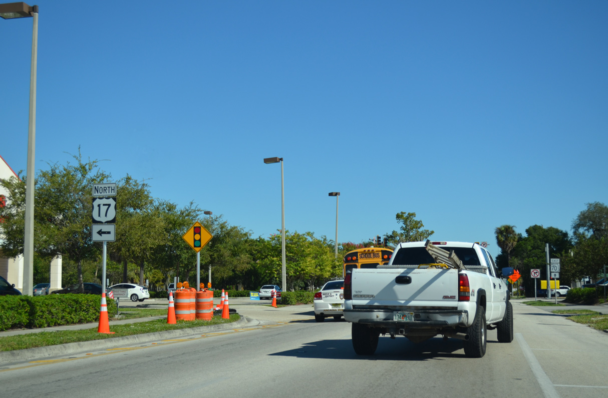
| Heading north from SR 70 in Arcadia, U.S. 17 continues to Zolfo Springs and Wauchula in Hardee County. 10/17/14 |
Page Updated 10-07-2022.

 East
East