|
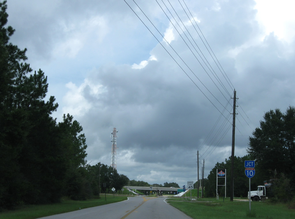
| Log Lake Road becomes County Road 189 north at the diamond interchange (Exit 45) with Interstate 10. 09/19/09 |
|
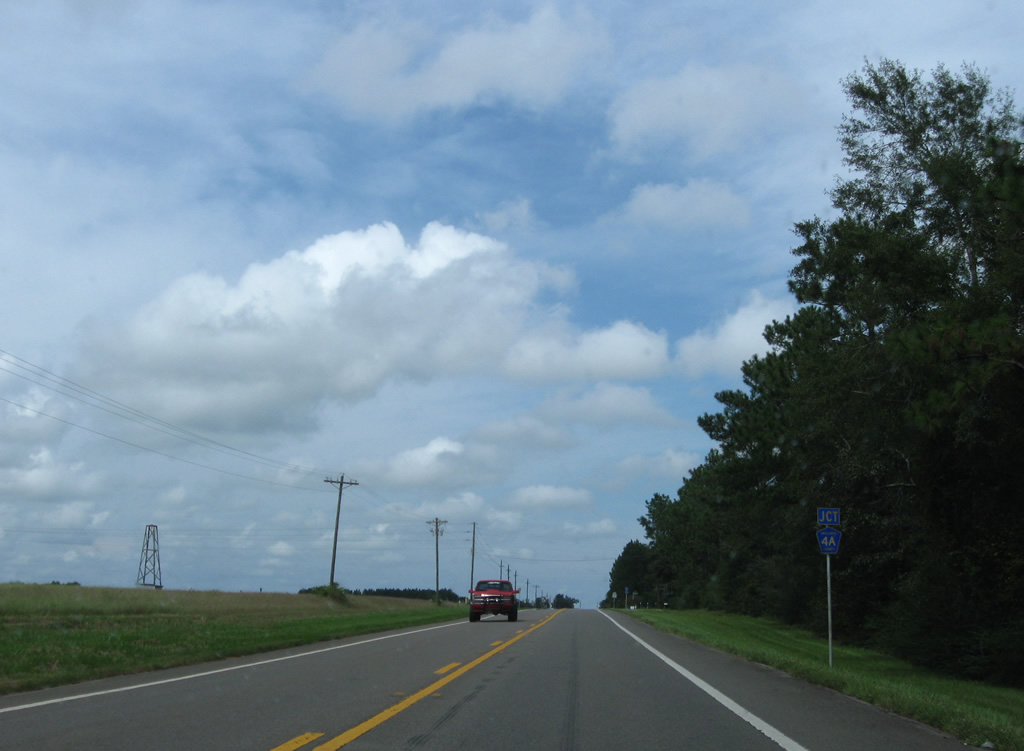
| County Road 189 (Log Lake Road) expands to include a median, typical of rural diamond interchanges in Florida. Broxson Road ties in from the east, acting as a frontage road to I-10 for a short distance. 09/19/09 |
|
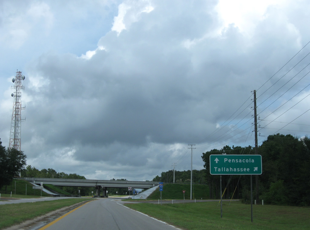
| The eastbound ramp to Crestview, DeFuniak Springs and Tallahassee departs CR 189 north next. 09/19/09 |
|
| Interstate 10 continues east 12 miles to Crestview and 160 miles to the capital city. 09/19/09 |
|
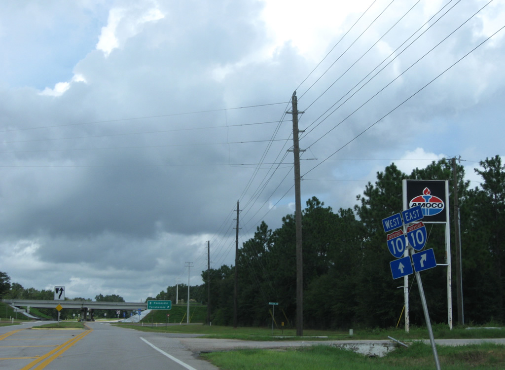
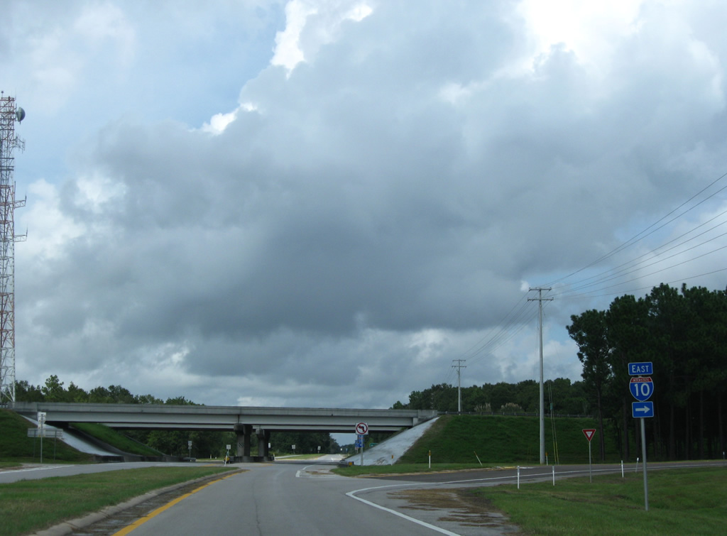
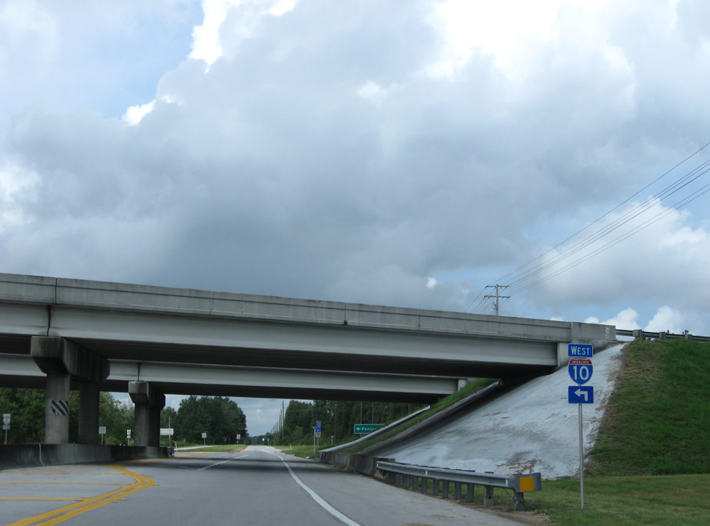
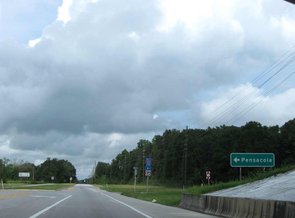
| Passing under the Interstate 10 mainline, CR 189 (Log Lake Road) advances to the westbound entrance ramp to Santa Rosa County. 09/19/09 |
|
| Interstate 10 continues 14 miles west to SR 87 outside of Milton and 36 miles to Pensacola. 09/19/09, 11/23/08 |
|
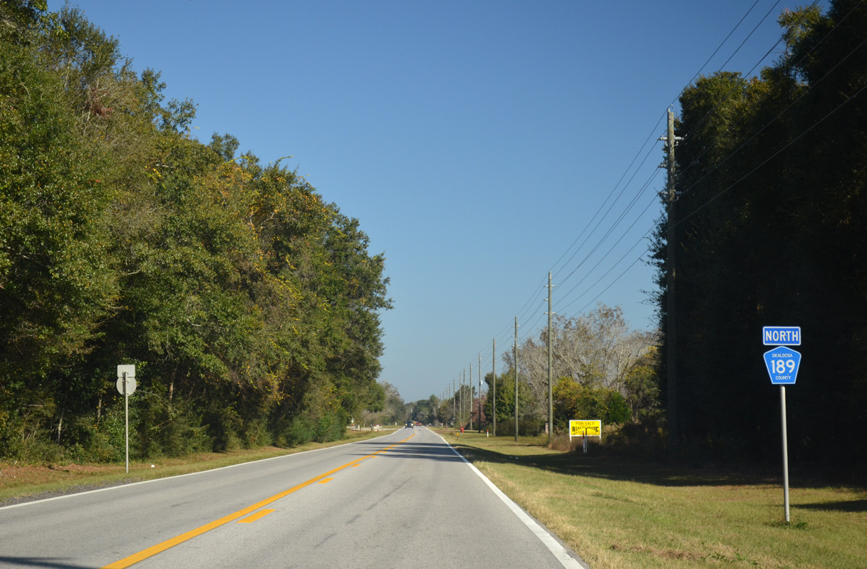
| Okaloosa County Road 189 reassurance marker posted north of I-10 along Log Lake Road. This branch of CR 189 is 1.23 miles long. 11/03/12 |
|
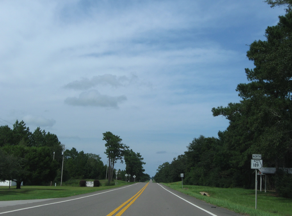
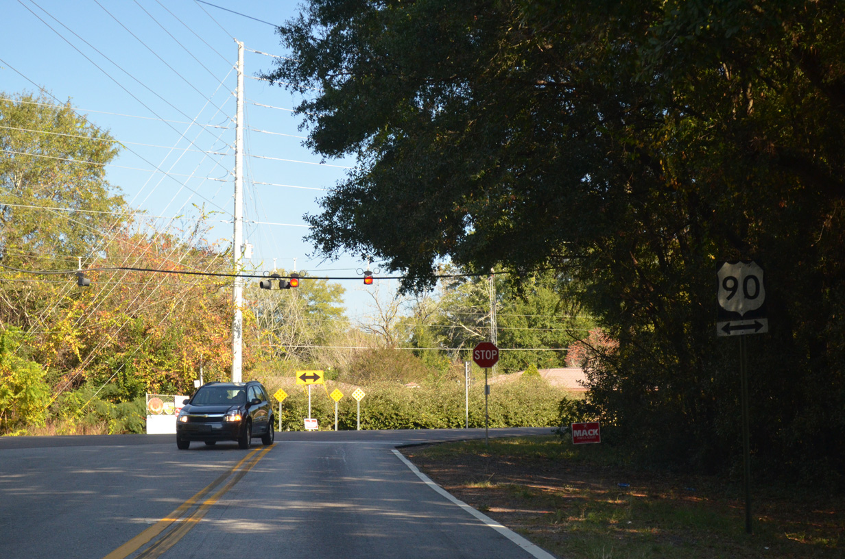
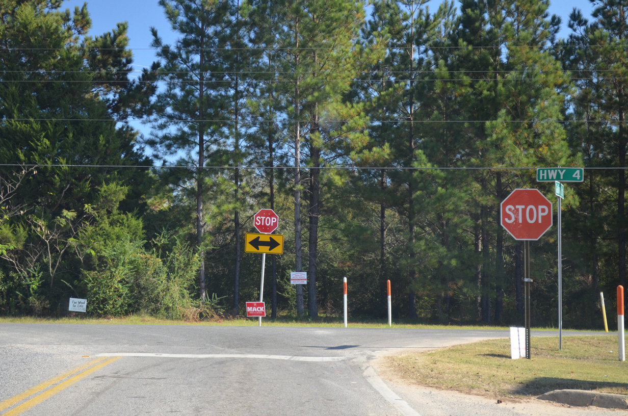
| County Road 189 (Log Lake Road) north at U.S. 90 at Holt. U.S. 90 heads west to Milton and east to Galliver and Milligan. 11/03/12 |
|
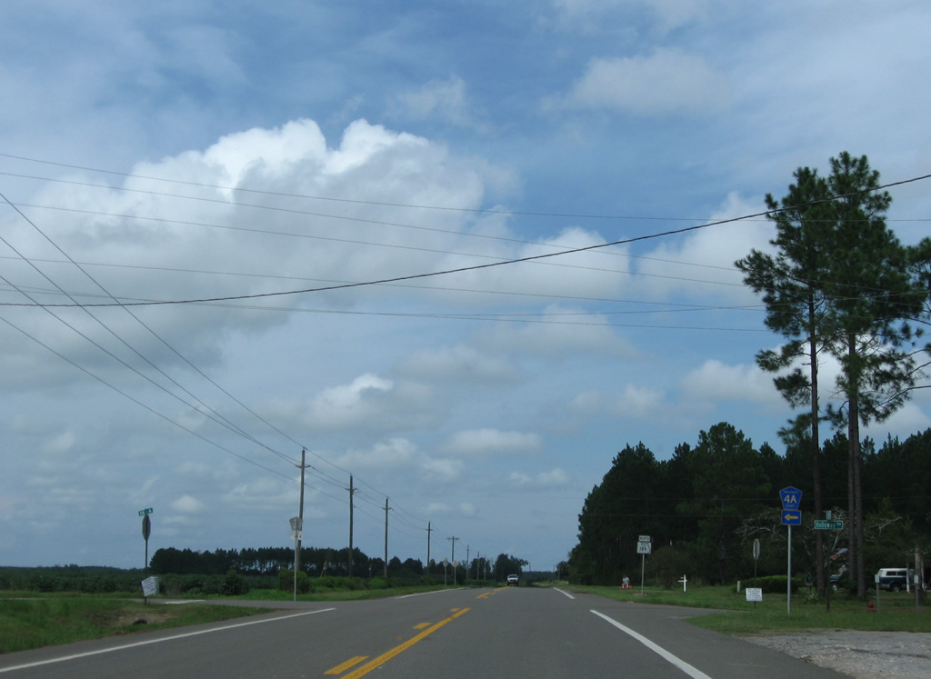
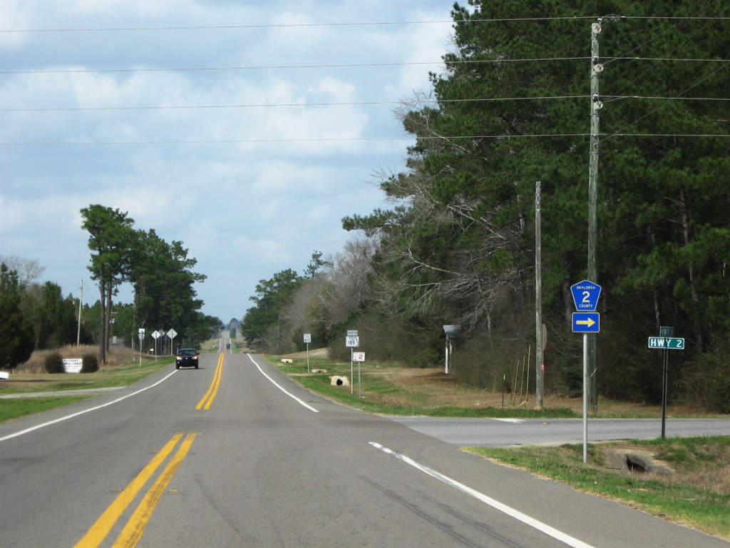
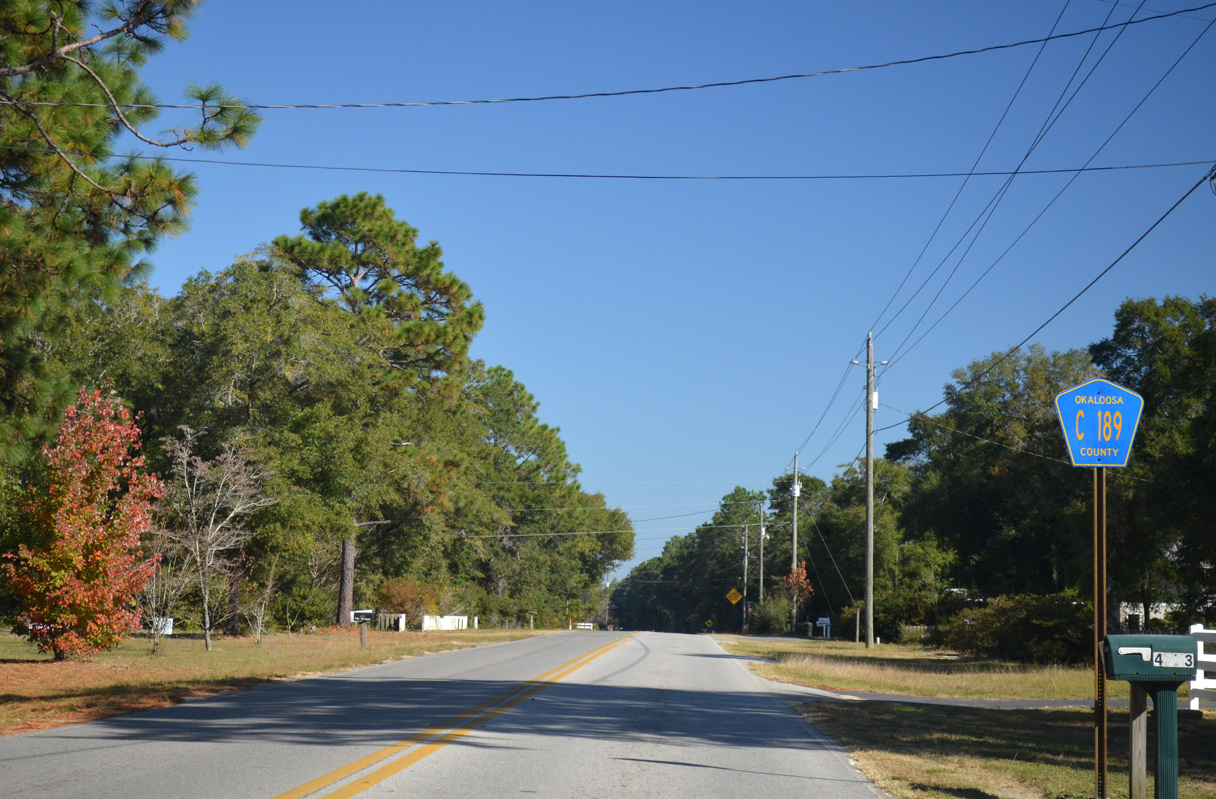
| A second section of Okaloosa County Road 189 stems 4.51 miles northeast from U.S. 90 at Galliver toward Baker. This shield appears just north of U.S. 90 along Galliver Cutoff. 11/03/12 |
|
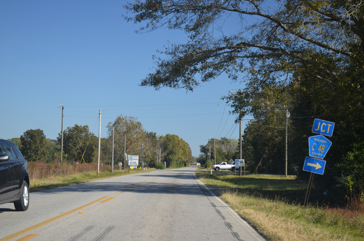
| Charlie Day Road (CR 4B) connects CR 189 (Galliver Cutoff) with SR 4 east to Milligan. CR 4B is 1.21 miles long. 11/03/12 |
|
| CR 189 along Galliver Cutoff concludes at SR 4 just south of Baker. SR 189 begins 0.9 miles to the north at the SR 4 westward turn onto Georgia Avenue. 11/03/12 |
|
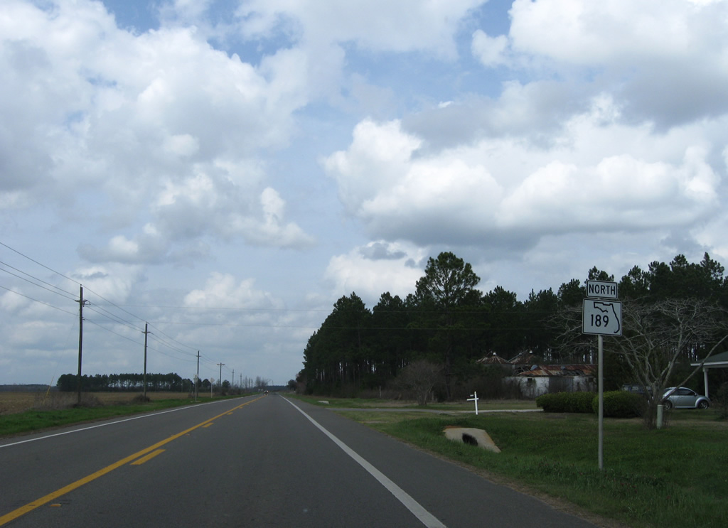
| 1.5 miles north of Baker and State Road 4, SR 189 meets the east end of County Road 4A. 09/19/09 |
|
| Okaloosa County Road 4A links SR 189 with SR 4, 2.52 miles to the west through mainly agricultural areas. 09/19/09 |
|
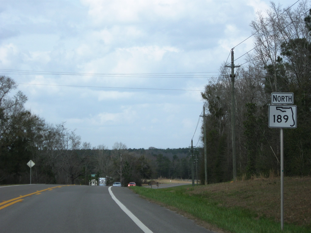
| SR 189 northbound shield posted after County Road 4A west and Holloway Road east. 03/09/09 |
|
| SR 189 curves northeastward from Cannon Town and the intersection with Vinson Ray Road. 03/09/09 |
|
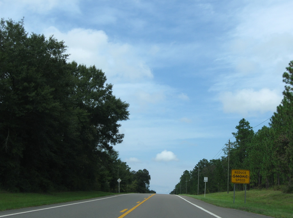
| SR 189 travels through Blackwater River State Forest west of Karick Lake and south of Blackman. Signs advise of smoke during controlled burns. 09/19/09 |
|
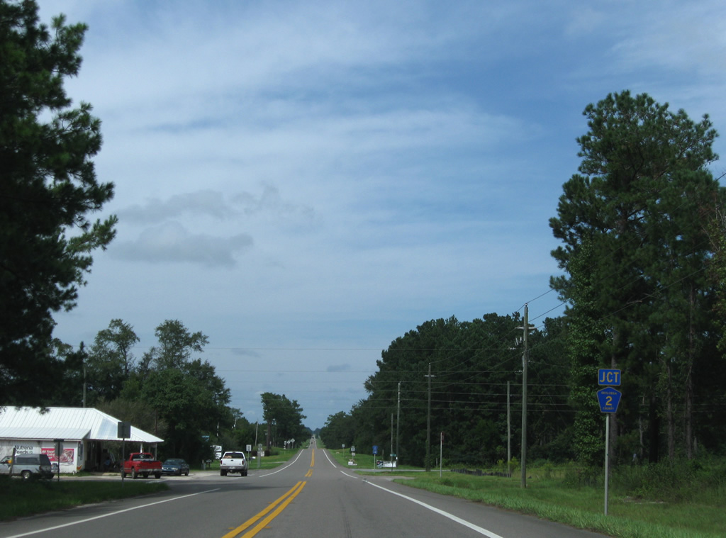
| Exiting the state forest, SR 189 reaches the settlement of Blackman and the west end of Okaloosa County Road 2. 09/19/09 |
|
| County Road 2 stems 9.43 miles east from SR 189 to Oak Grove and SR 85 near Almarante and Laurel Hill. 03/09/09 |
|
| Continuing northward from County Road 2 and Blackman along SR 189. 09/19/09 |
|
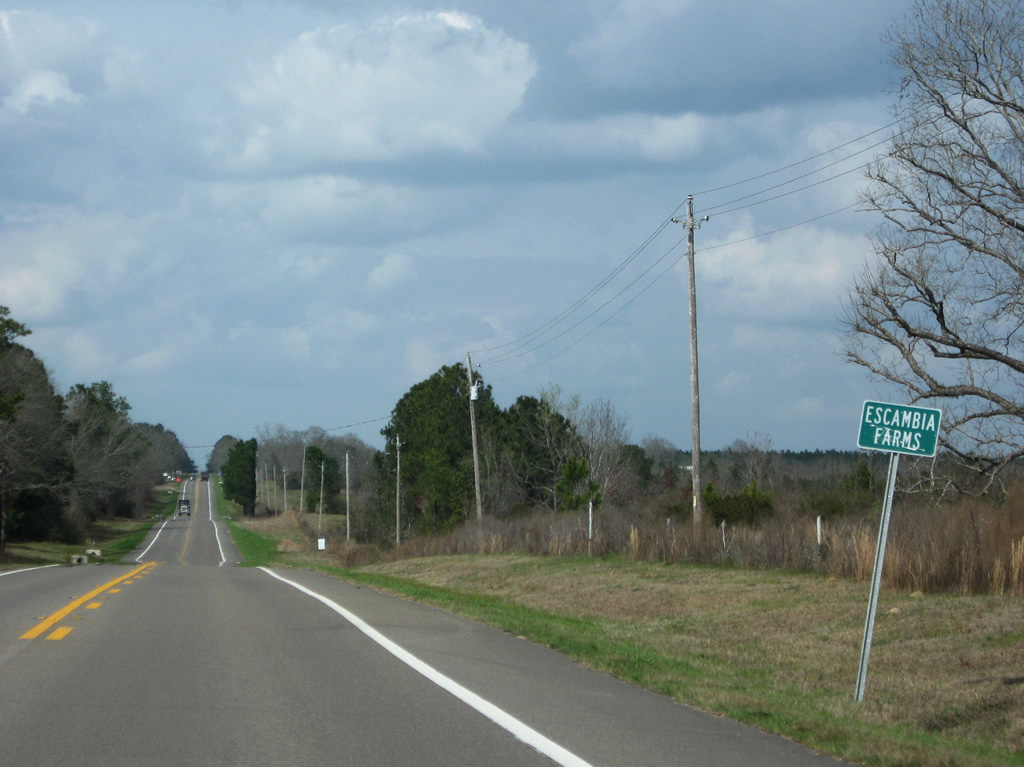
| State Road 189 north next enters the rural community of Escambia Farms. 03/09/09 |
|
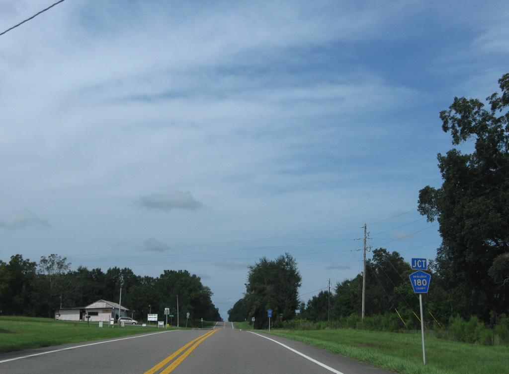
| SR 189 north meets Okaloosa County Road 180 west at Escambia Farms. 09/19/09 |
|
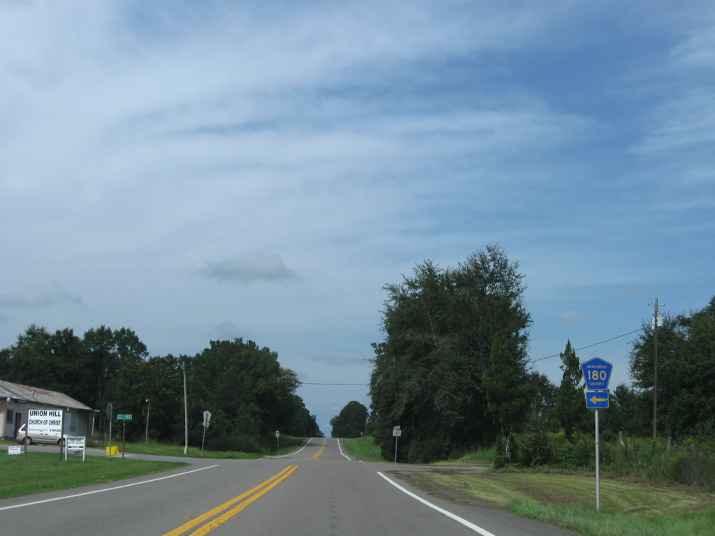
| County Road 180 winds 7.44 miles northwest from SR 189 to northern reaches of Blackwater River State Forest and Escambia County Road 51 in Alabama. 09/19/09 |
|
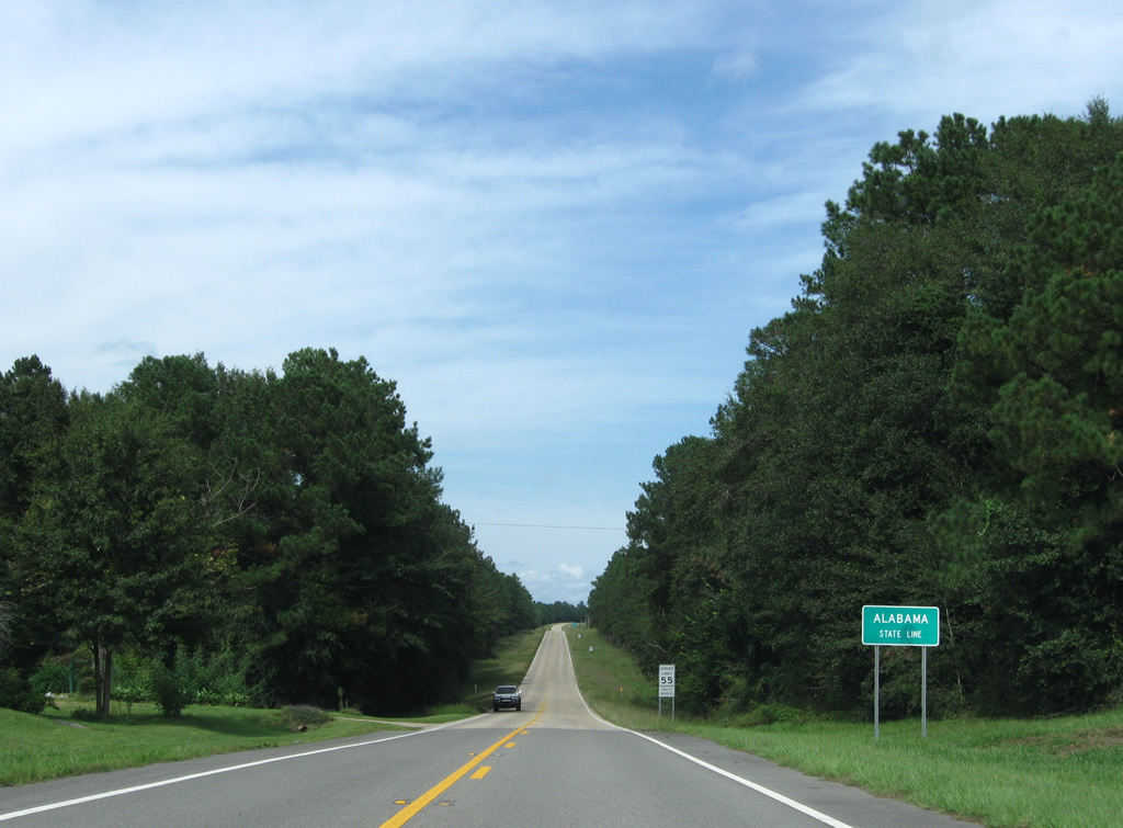
| The final shield of SR 189 northbound follows as the state road leaves Escambia Farms for a nearly five mile drive to the state line. 09/19/09 |
|
| SR 189 transitions into the northbound beginning of Alabama State Route 137 at the state border. SR 137 travels 14.3 miles through Covington County to U.S. 29, 11 miles south of Andalusia. 09/19/09 |
Page Updated 11-22-2020.


 North
North