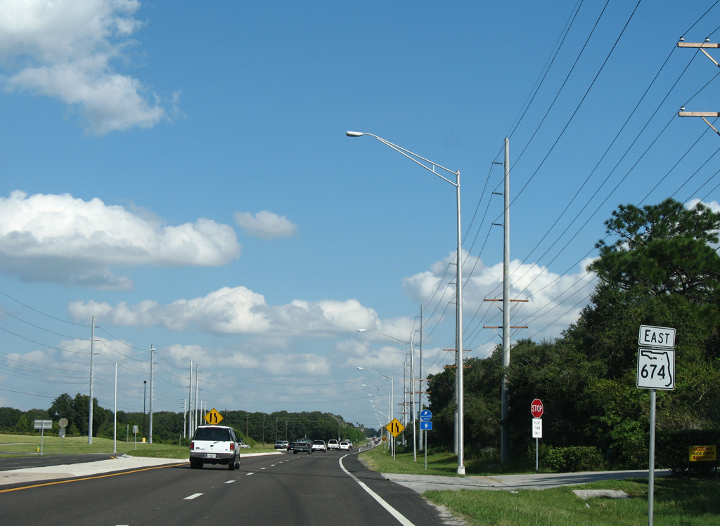
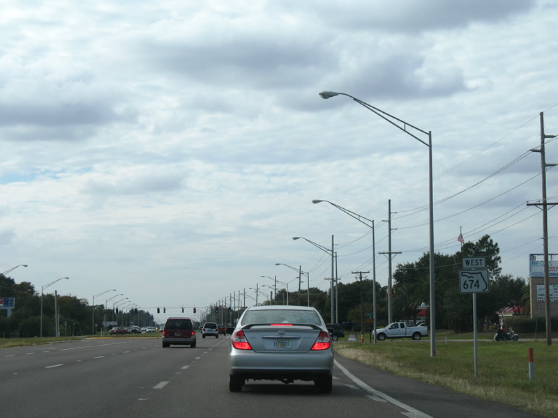
A 25.51 mile long highway, State Road 674 runs east from U.S. 41 in Ruskin to Sun City Center, Wimauma, Fort Lonesome and SR 37 in southwest Polk County. The state road provides freeway access to I-75 for the growing Ruskin and Sun City Center communities to the west. East of Wimauma, SR 674 constitutes a truck route for various phosphate mines scattered throughout southeast Hillsborough County.
|
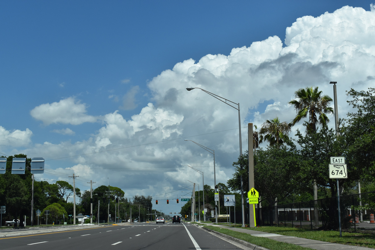
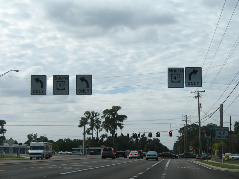
| The first confirming marker for SR 674 stands east of U.S. 41 (Tamiami Trail) in Ruskin. 06/11/21 |
|
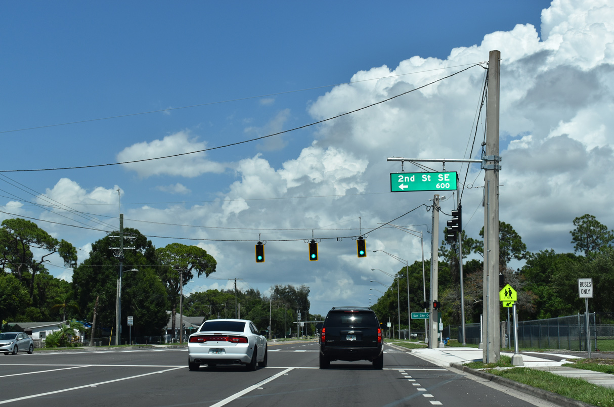
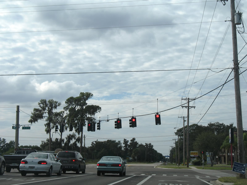
| The traffic light at 2nd Street SE serves Ruskin Elementary School. 06/11/21 |
|
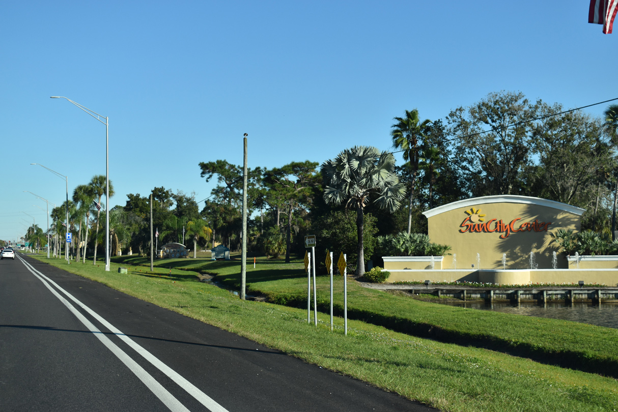
| Sun City Center lies five miles east of Ruskin along SR 674. 06/11/21 |
|
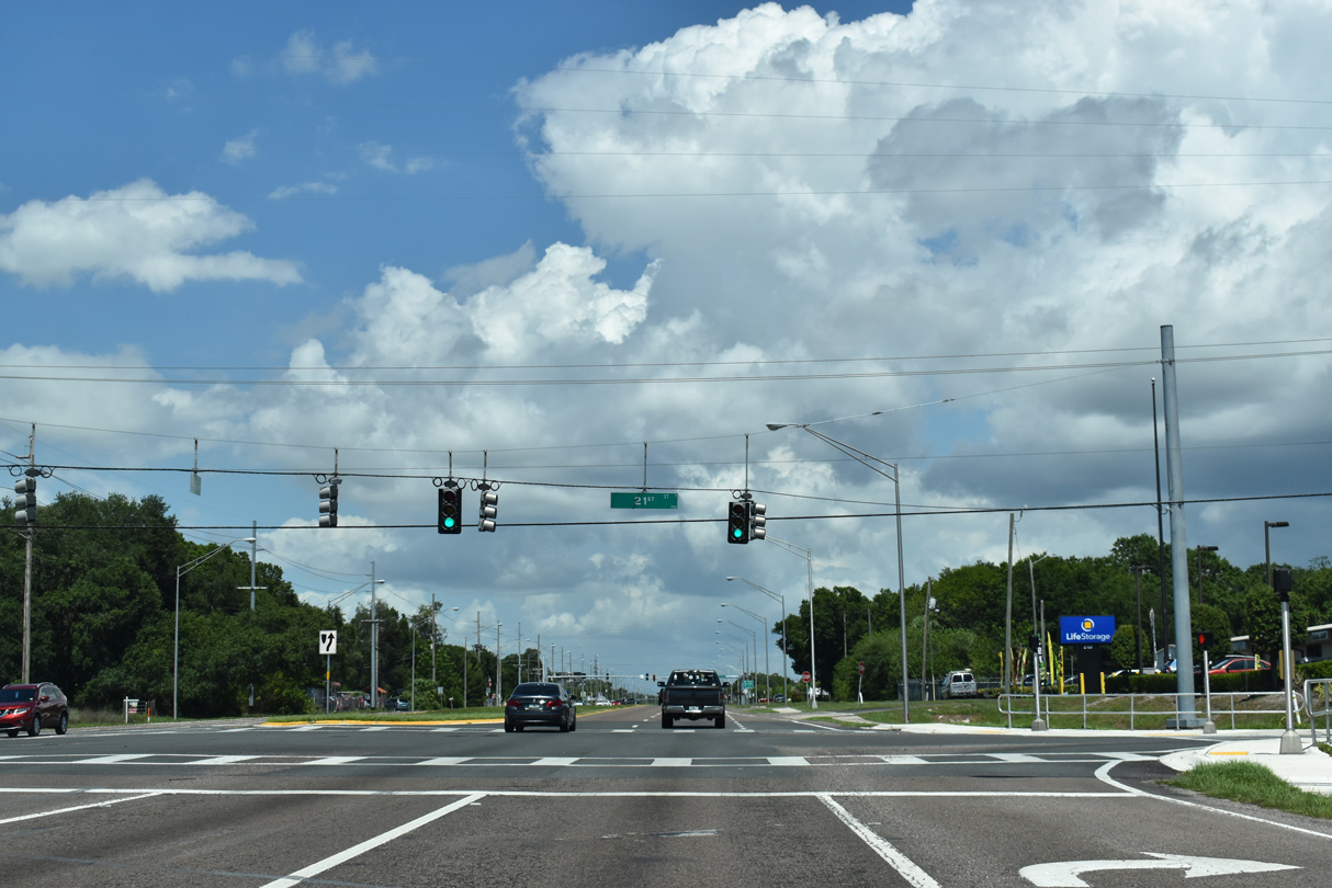
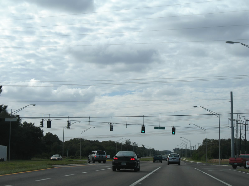
| The succeeding traffic light along SR 674 (College Avenue) eastbound is at 21st Street SE. 06/11/21 |
|
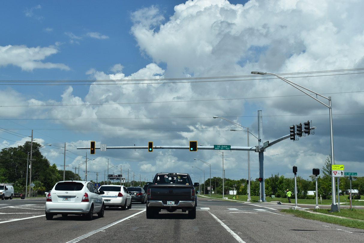
| 24th Street SE comprises a four lane boulevard north to Hillsborough Community College - SouthShore Campus and several subdivisions ahead of 19th Avenue NE. 06/11/21 |
|
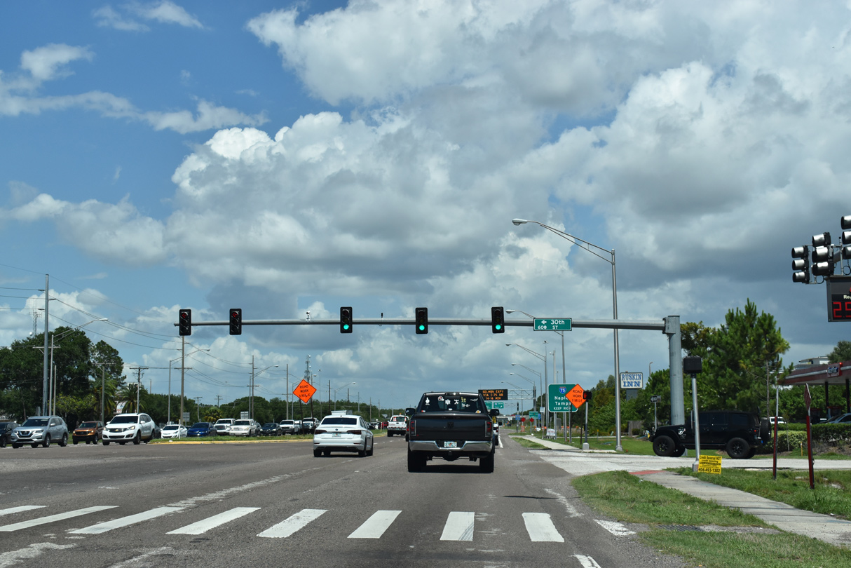
| 30th Street SE stems north to an Amazon distribution center and 19th Avenue NE. 06/11/21 |
|
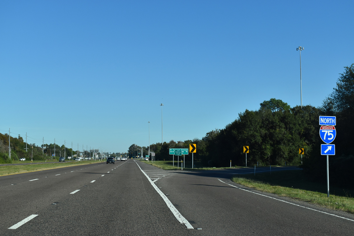
| SR 674 (College Avenue) enters the six-ramp parclo interchange (Exit 240) with Interstate 75 beyond the frontage roads of Teco Road and 33rd Street SE. 06/11/21 |
|
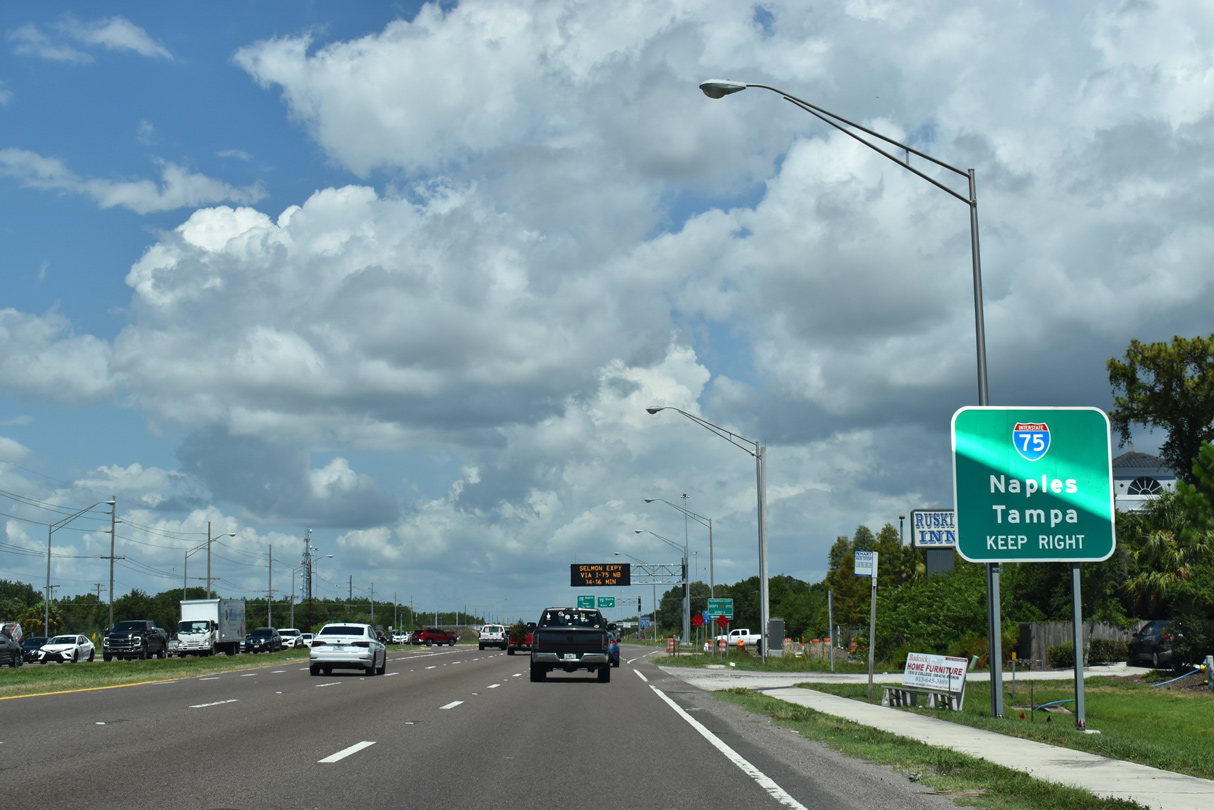
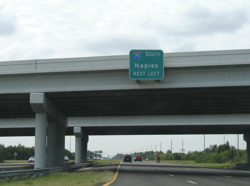
| Interstate 75 travels south from Sun City Center and Ruskin to Ellenton, Palmetto and Bradenton. 06/11/21 |
|
| Beyond Bradenton and Sarasota, Interstate 75 continues south to Cape Coral, Fort Myers and Alligator Alley east from Naples. 06/11/21 |
|
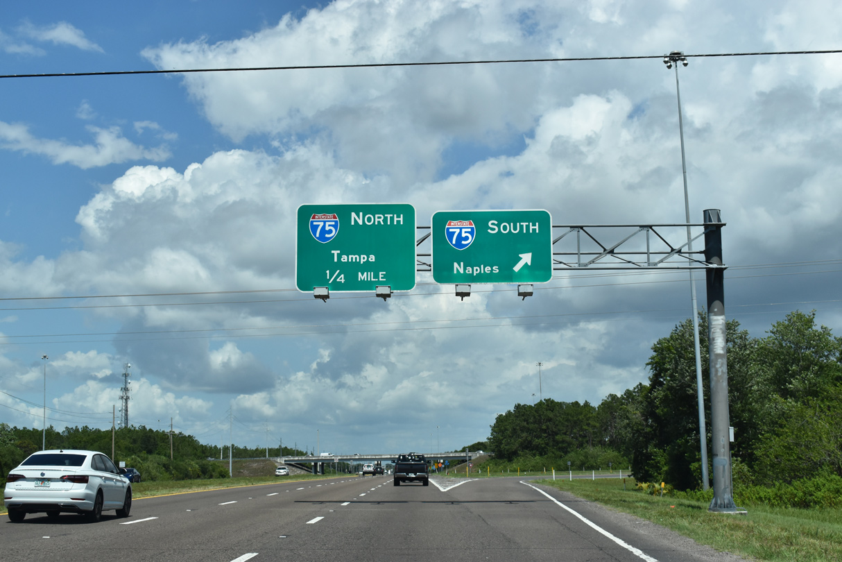
| SR 674 changes from College Avenue to Sun City Center Boulevard within the exchange at Interstate 75. 06/11/21 |
|
| Interstate 75 heads north from Sun City Center to Riverview, Brandon and the Tampa area. 11/27/21 |
|
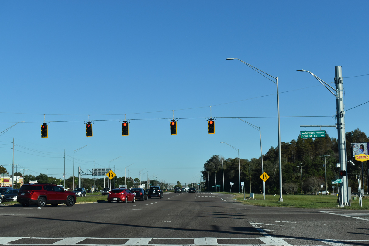
| Leaving I-75, SR 674 meets 33rd Street SE and Cypress Village Boulevard at a commercialized intersection. 11/27/21 |
|
| 33rd Street SE comprises a frontage road south along I-75. Cypress Village Boulevard runs along the east side of I-75 to several subdivisions and apartment complexes to 19th Avenue NE. 11/27/21 |
|
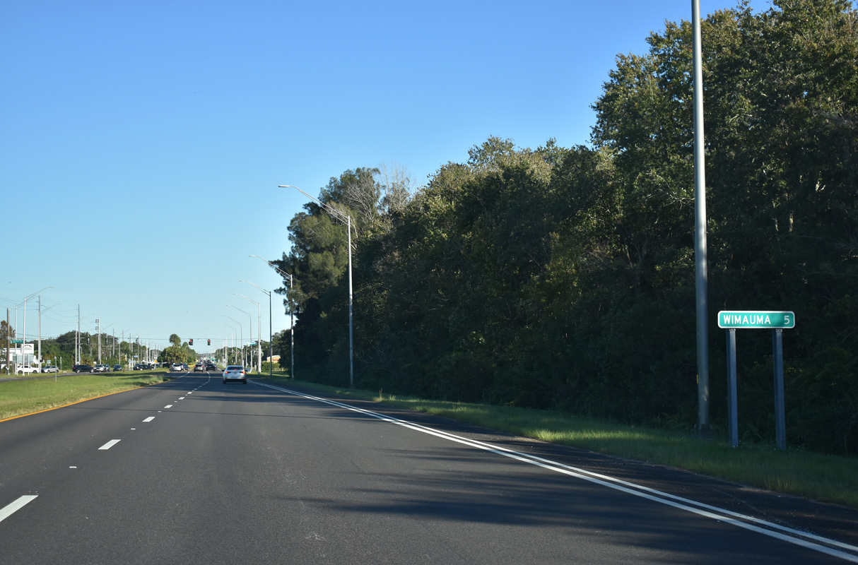
| SR 674 (Sun City Boulevard) advances east from Interstate 75 and Cypress Village Boulevard five miles to Wimauma. 11/27/21 |
|
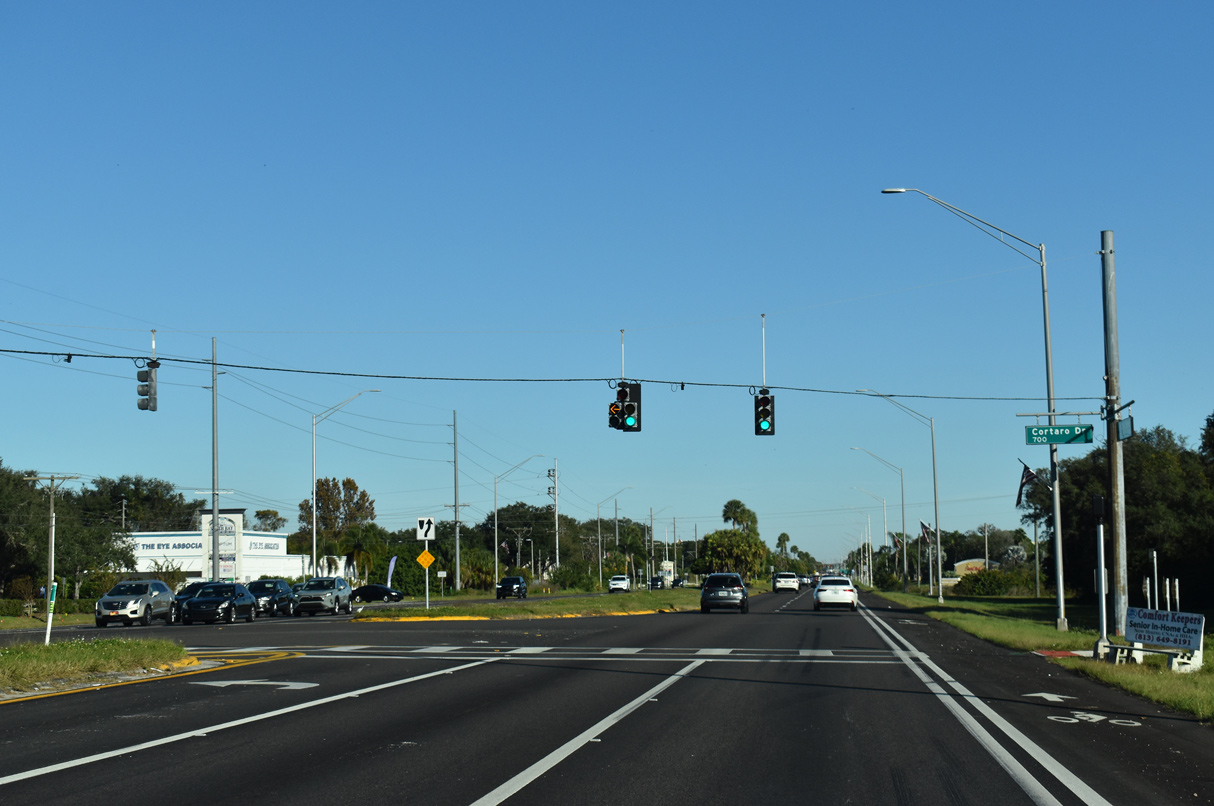
| Cortaro Drive stems north from Sun City Boulevard to an an adjacent shopping center and business park. 11/27/21 |
|
| SR 674 (Sun City Boulevard) east continues into Sun City Center. 11/27/21 |
|
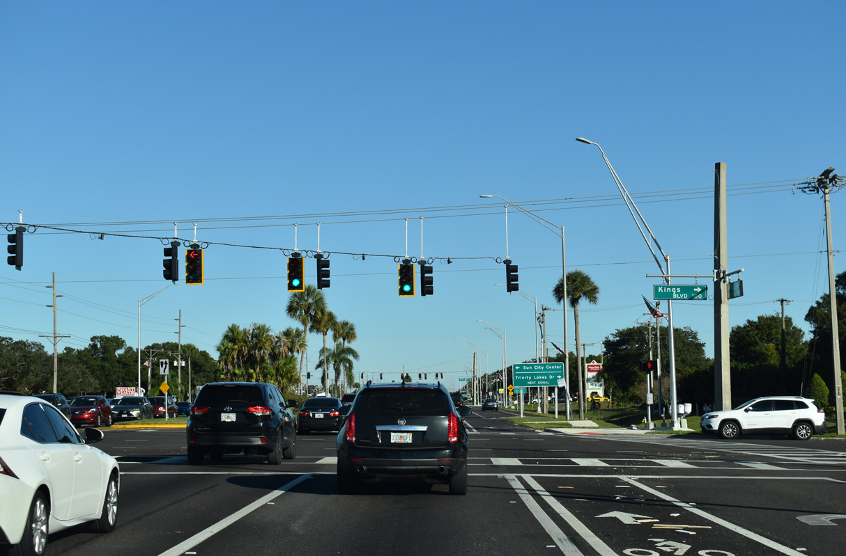
| Kings Boulevard north ties into SR 674 from a gated entrance into Sun City Center across from Valley Forge Boulevard south. 11/27/21 |
|
| The succeeding traffic light along Sun City Boulevard east is at Trinity Lakes Drive. 11/27/21 |
|
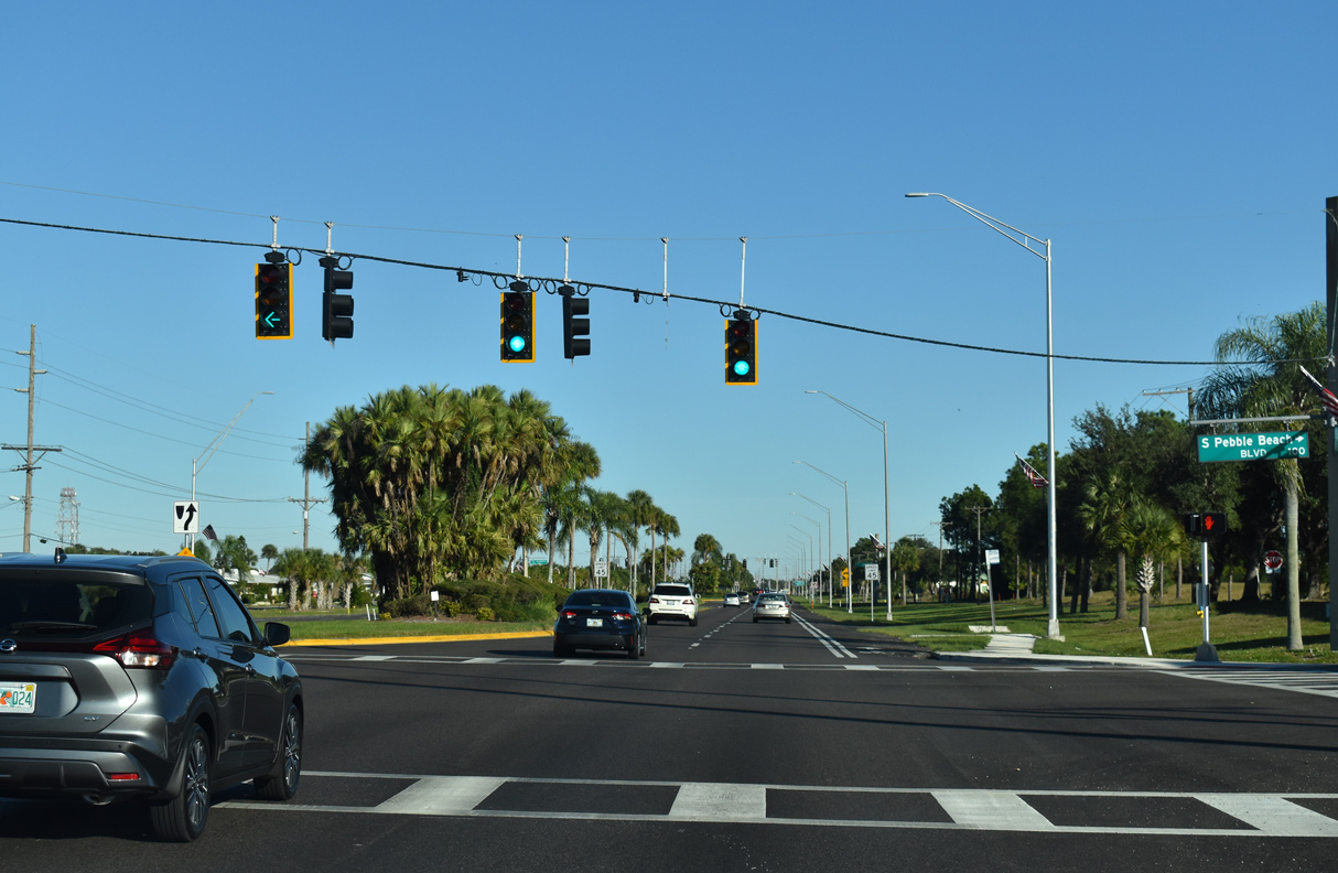
| Pebble Beach Boulevard extends beyond the commercialized intersection with SR 674 in both directions to golf course communities at Sun City Center. 11/27/21 |
|
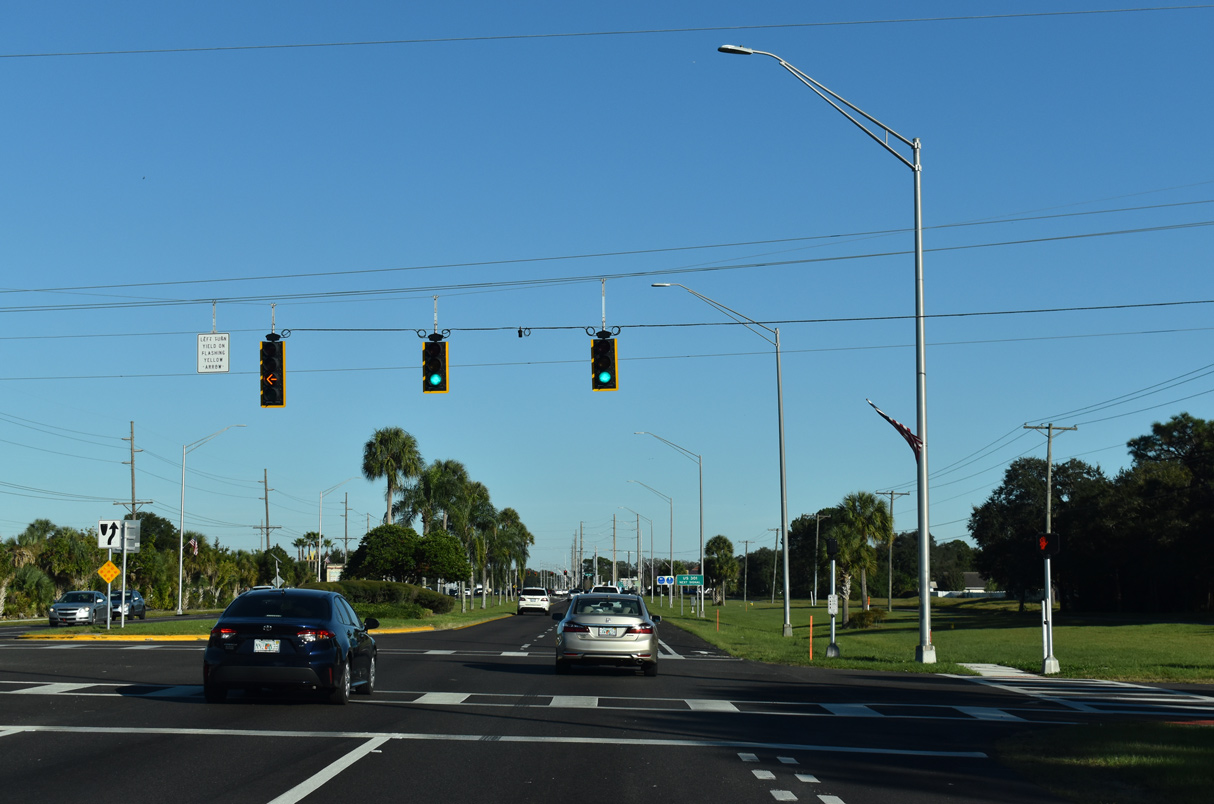
| Stoneham Drive intersects SR 674 north from the St. Andrew Estates neighborhood opposite El Ranch Drive south. 11/27/21 |
|
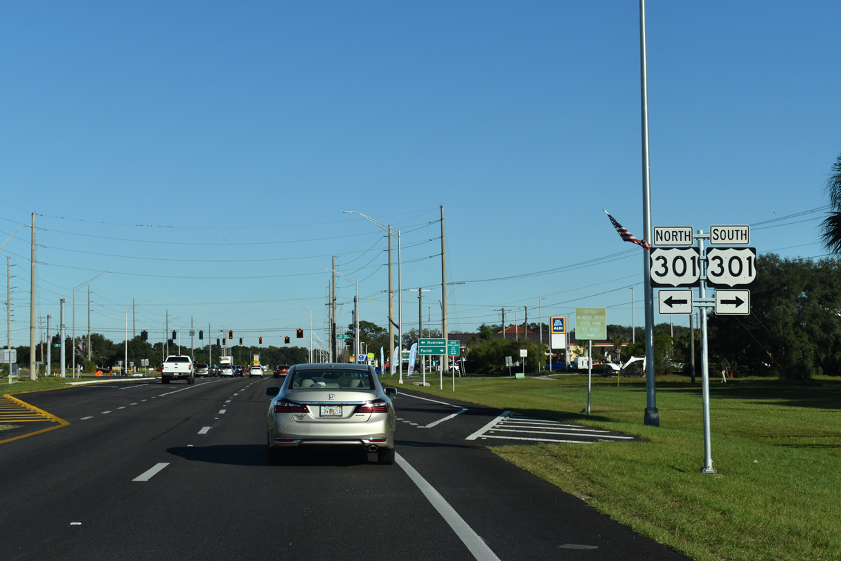
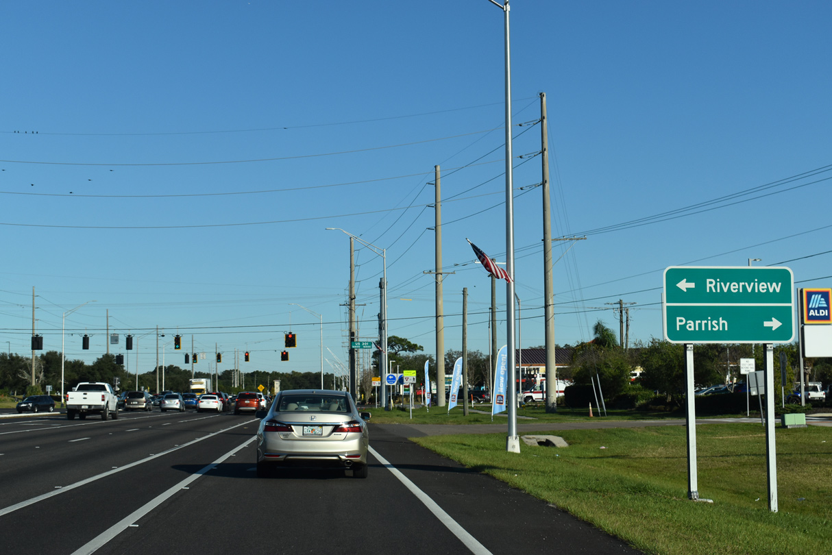
| SR 674 (Sun City Boulevard) meets U.S. 301 on the east side of Sun City Center. 11/27/21 |
|
| A heavily developed suburban arterial, U.S. 301 north leads to Riverivew and Brandon. Southwest from Sun City Center, U.S. 301 travels to Little Manatee River State Park and Parrish in Manatee County. 11/27/21 |
|
| Leaving U.S. 301 and Sun City Center, SR 674 reduces from a four lane divided arterial into a two lane rural highway. 10/15/07 |
|
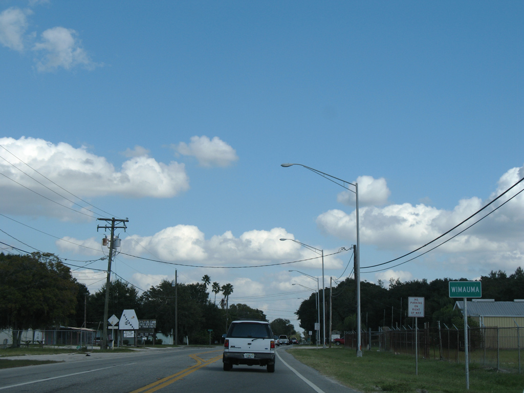
| Entering the unincorporated community of Wimauma along SR 674 east. 10/15/07 |
|
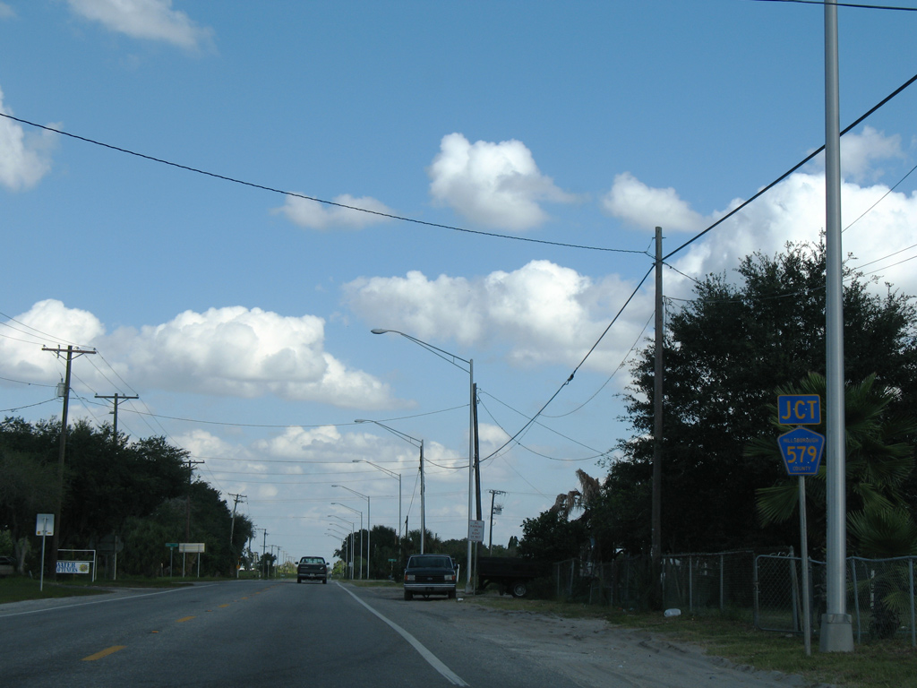
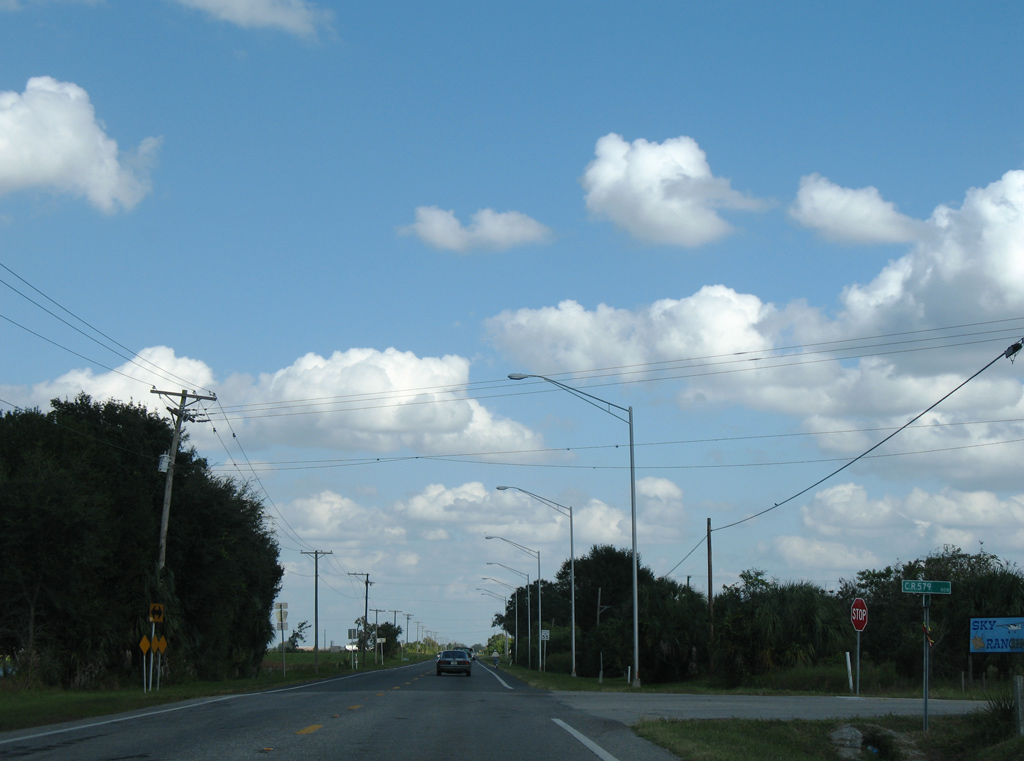
| Leaving the Wimauma street grid, SR 674 advances east to the southernmost branch of County Road 579. 10/15/07 |
|
| CR 579 spurs south 4.97 miles from Wimauma alongside Little Manatee River Preserve to Saffold Road on the Manatee County line. Saffold Road extends the roadway to SR 64. 10/15/07 |
|
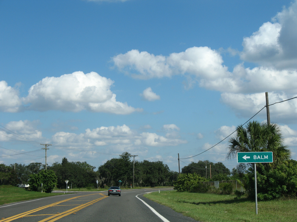
| Balm-Wimauma Road branches northeast from SR 674 to CR 672 (Balm-Riverview Road) at the rural community of Balm. 10/15/07 |
|
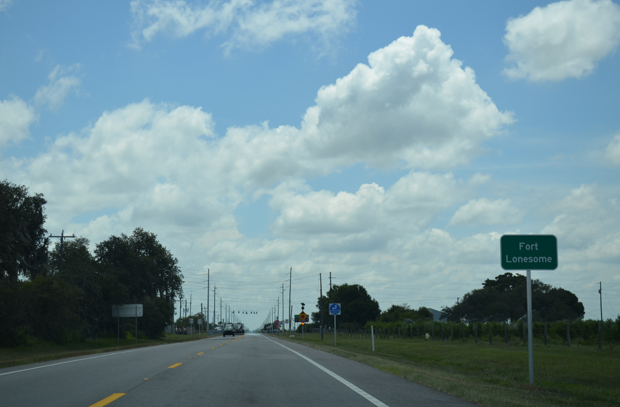
| SR 674 crosses the Little Manatee River twice, passes by a mobile home park, and reaches the crossroads of Fort Lonesome. 06/30/14 |
|
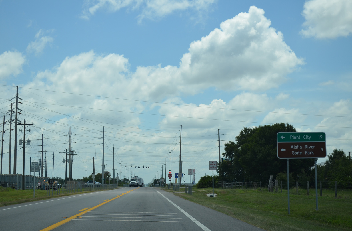
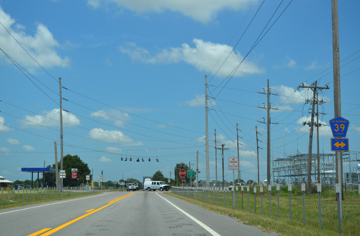
| CR 39 intersects SR 674 (Wimauma Road) at Fort Lonesome. The county road heads north five miles to Alafia River State Park and 19 miles to Plant City, becoming a state road north of SR 60. 06/30/14 |
|
| Stretching 24.61 miles from a rural beginning at SR 62 in Manatee County, CR 39 runs by an array of phosphate mines northward to Picnic, Alafia State Park, Lithia and SR 60 by Hopewell. 06/30/14 |
|
| SR 674 bee lines east from Fort Lonesome by a number of phosphate mines. 06/30/14 |
|
| A second shield posted for SR 674 east at Fort Lonesome. The speed limit increases to 60 miles per hour to SR 37. 06/30/14 |
|
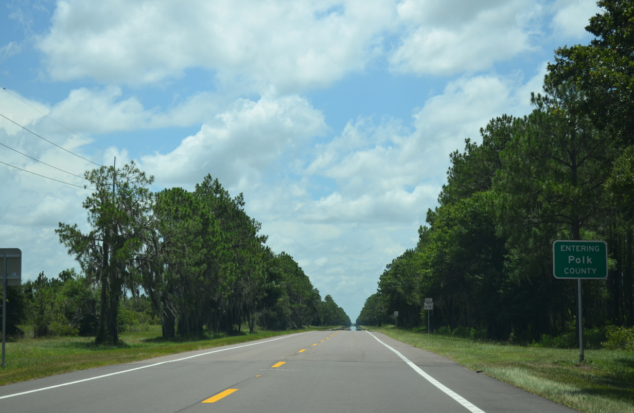
| Passing to the north of the Little Manatee River source, SR 674 crosses the Polk County line. 06/30/14 |
|
| 2.13 miles of SR 674 east remain through rural southwest Polk County. 06/30/14 |
|
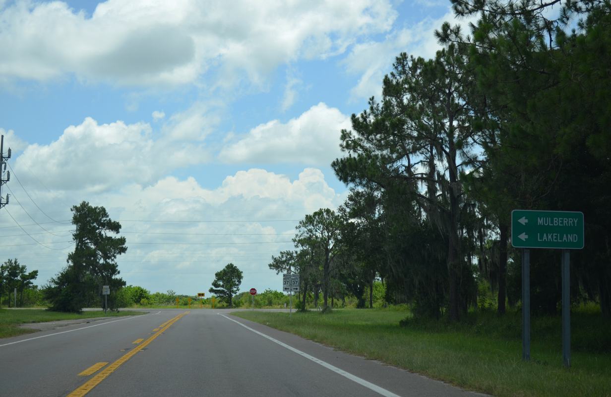
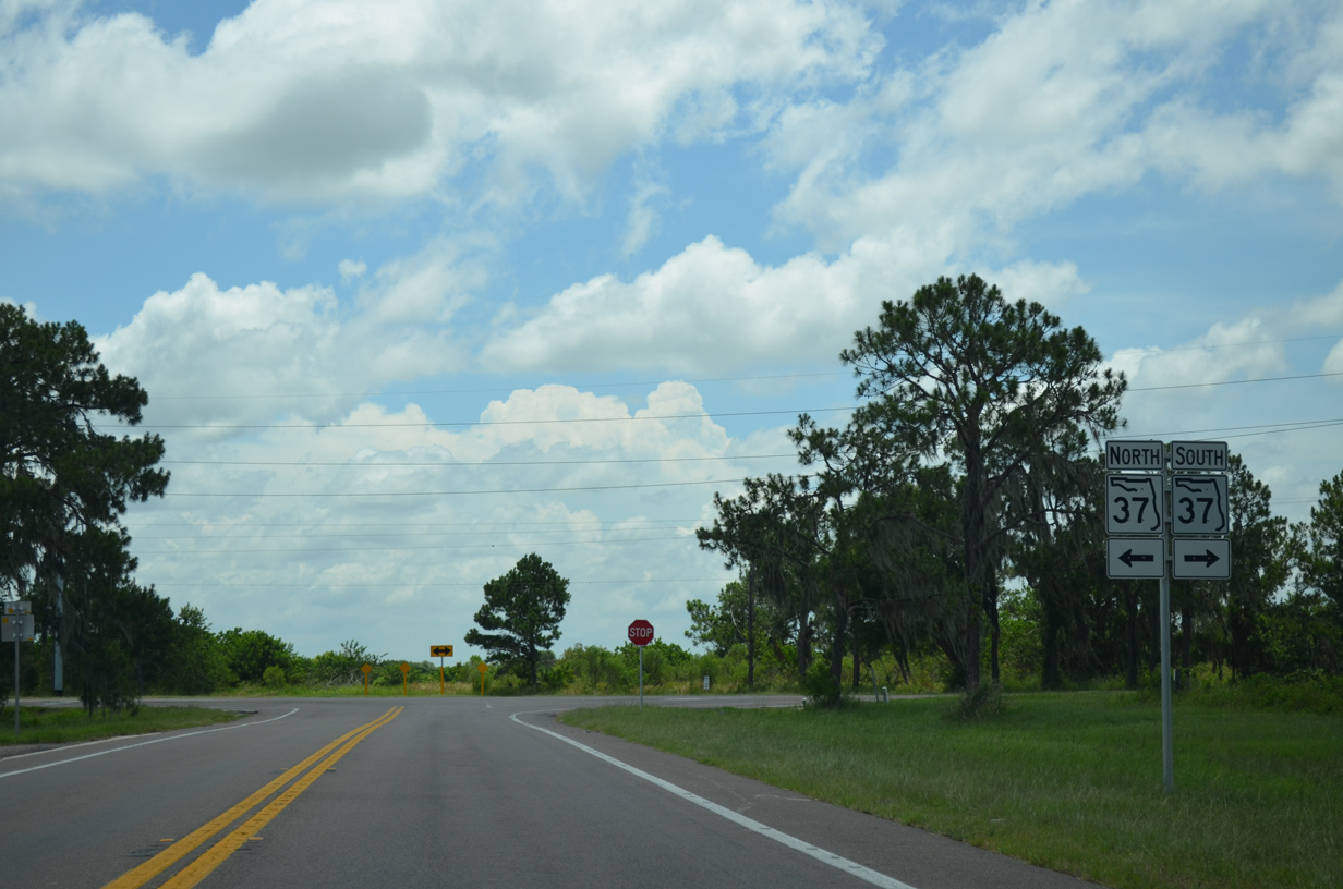
| SR 37 travels 29 miles northeast from SR 674 to SR 60 at Mulberry and U.S. 98/SR 548 outside Downtown Lakeland. 06/30/14 |
|
| Leading 10.1 miles southwest, SR 37 reaches the four corners of Hardee, Hillsborough, Manatee and Polk Counties en route to SR 62 at Duette. 06/30/14 |
|
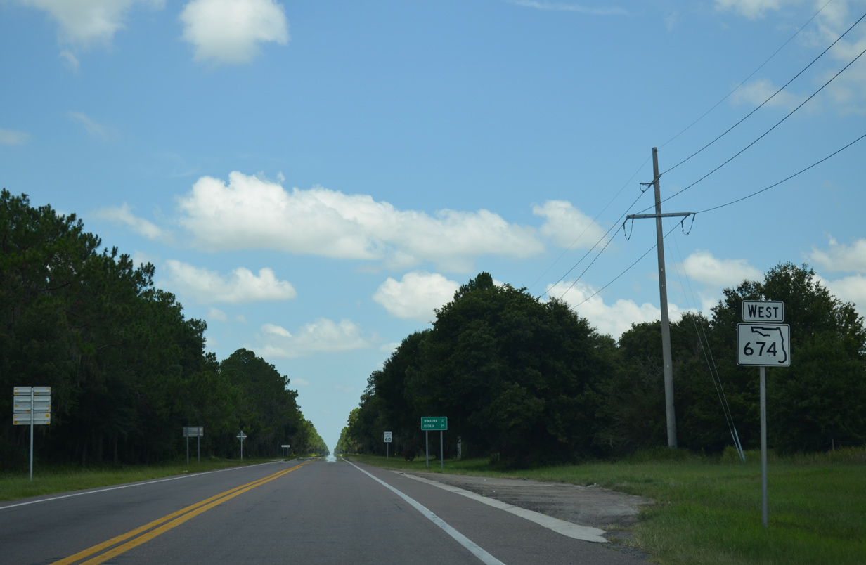
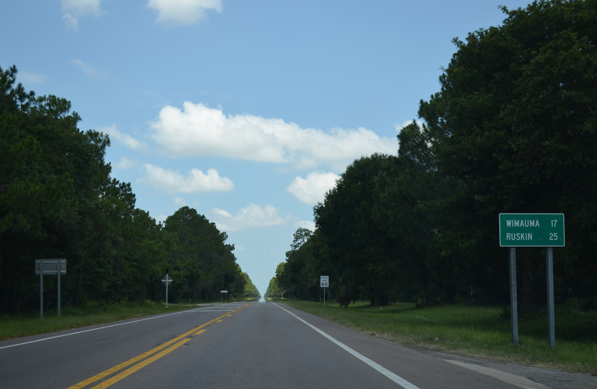
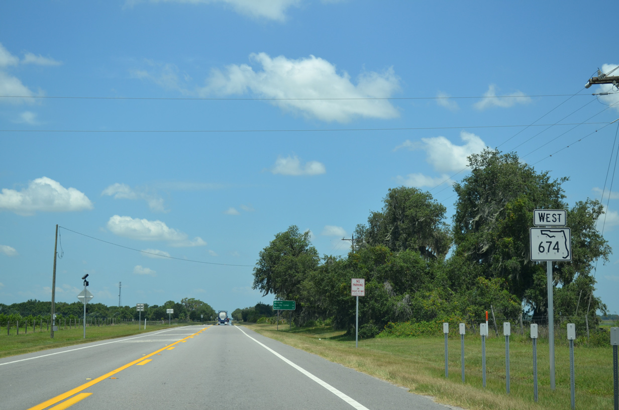
| SR 674 bee lines 17 miles west from SR 37 to Wimauma and 25 miles to Ruskin. 06/30/14 |
|
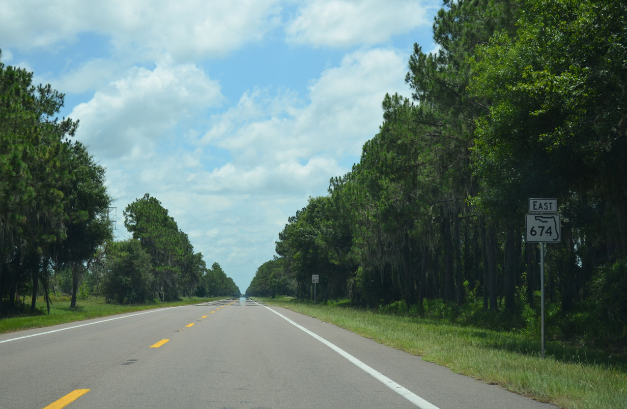
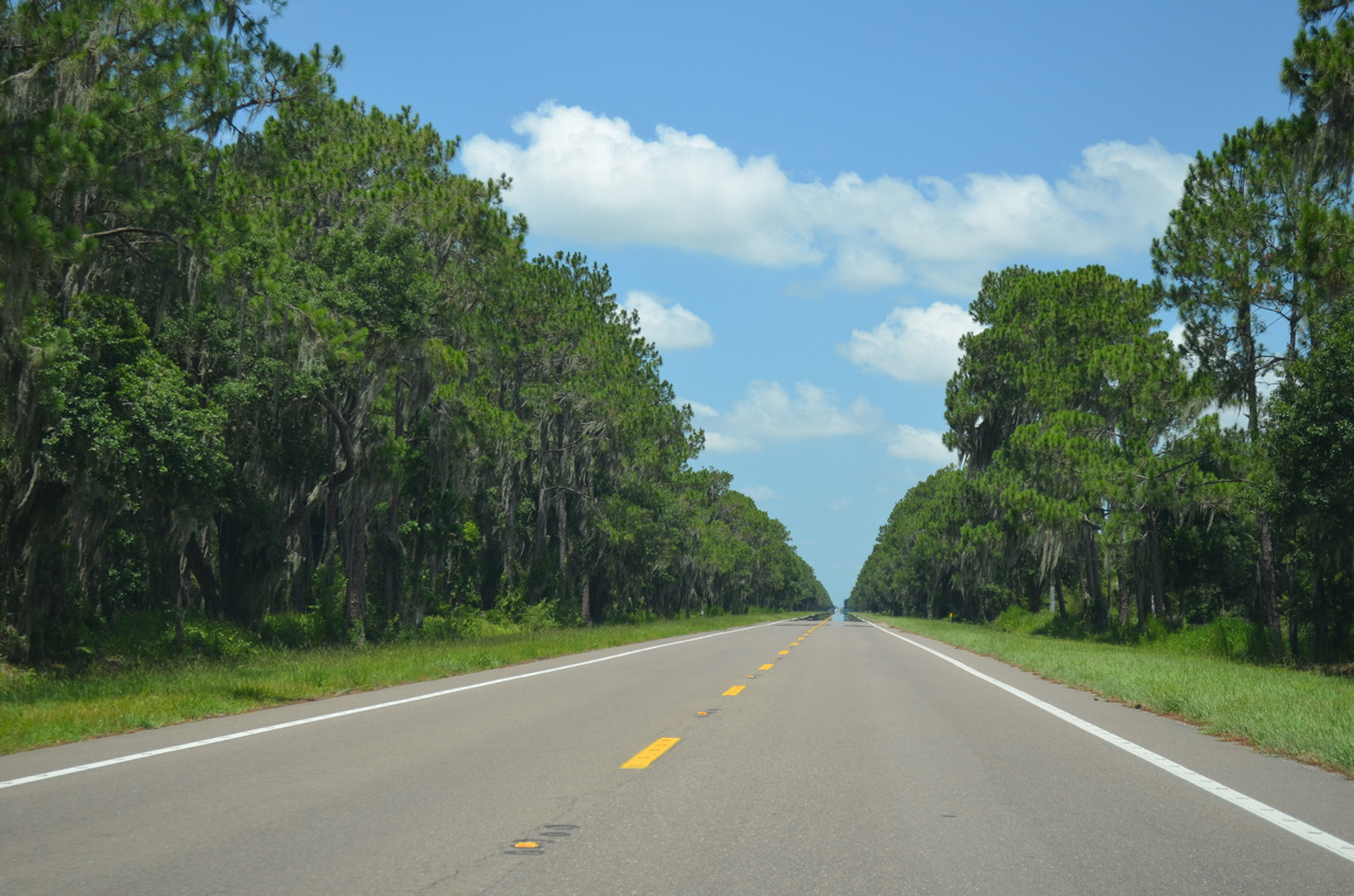
| Trees line both sides of SR 674 as the state road passes by a phosphate mine. The speed limit is 60 miles per hour along this otherwise uninterrupted stretch. 06/30/14 |
|
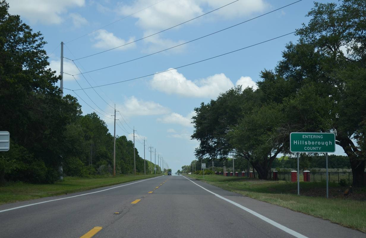
| Crossing the Hillsborough County line along SR 674 west. 06/30/14 |
|
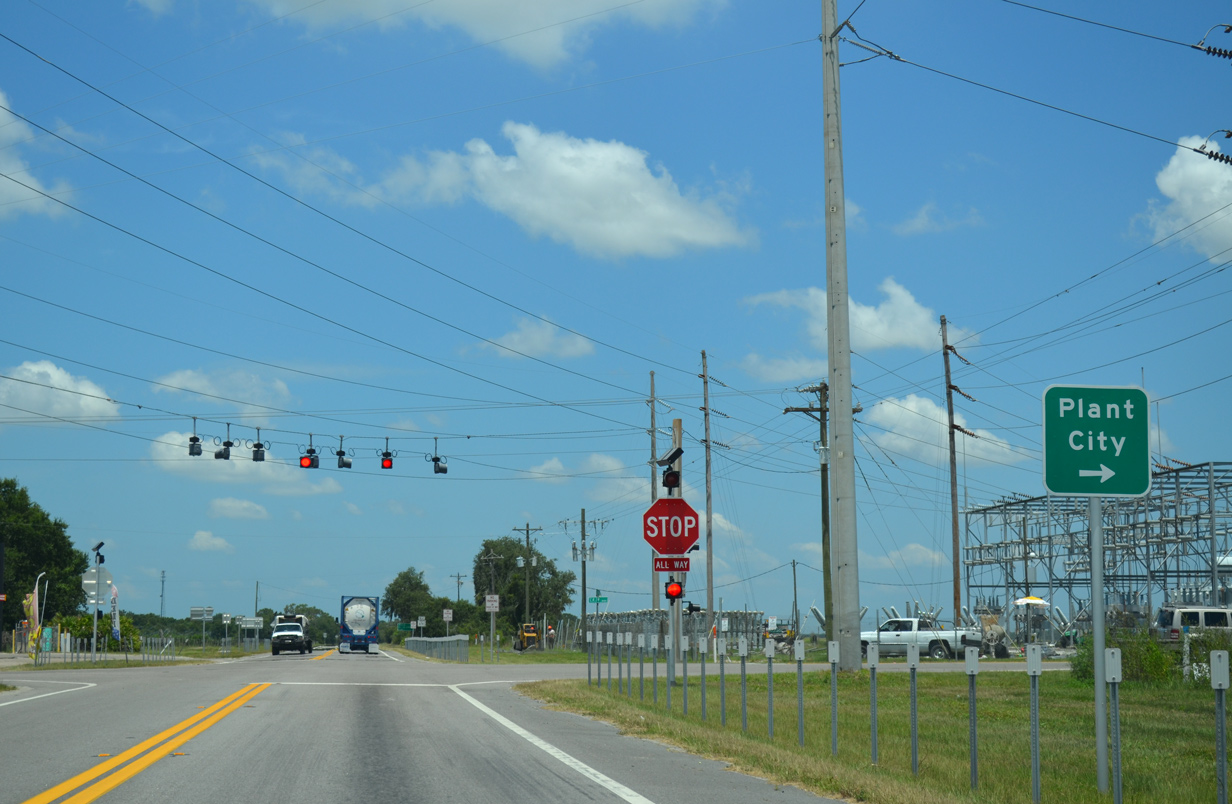
| Paralleling the Little Manatee River through rural areas, SR 674 reaches Fort Lonesome and County Road 39. 06/30/14 |
|
| County Road 39 heads south to SR 62 in Manatee County and north to Alafia State Park and SR 60 near Hopewell. There State Road 39 takes over as an arterial route north into Plant City. 06/30/14 |
|
| Leaving Fort Lonesome, SR 674 remains rural by more phosphate mines, agricultural areas, and the Little Manatee River. 06/30/14 |
|
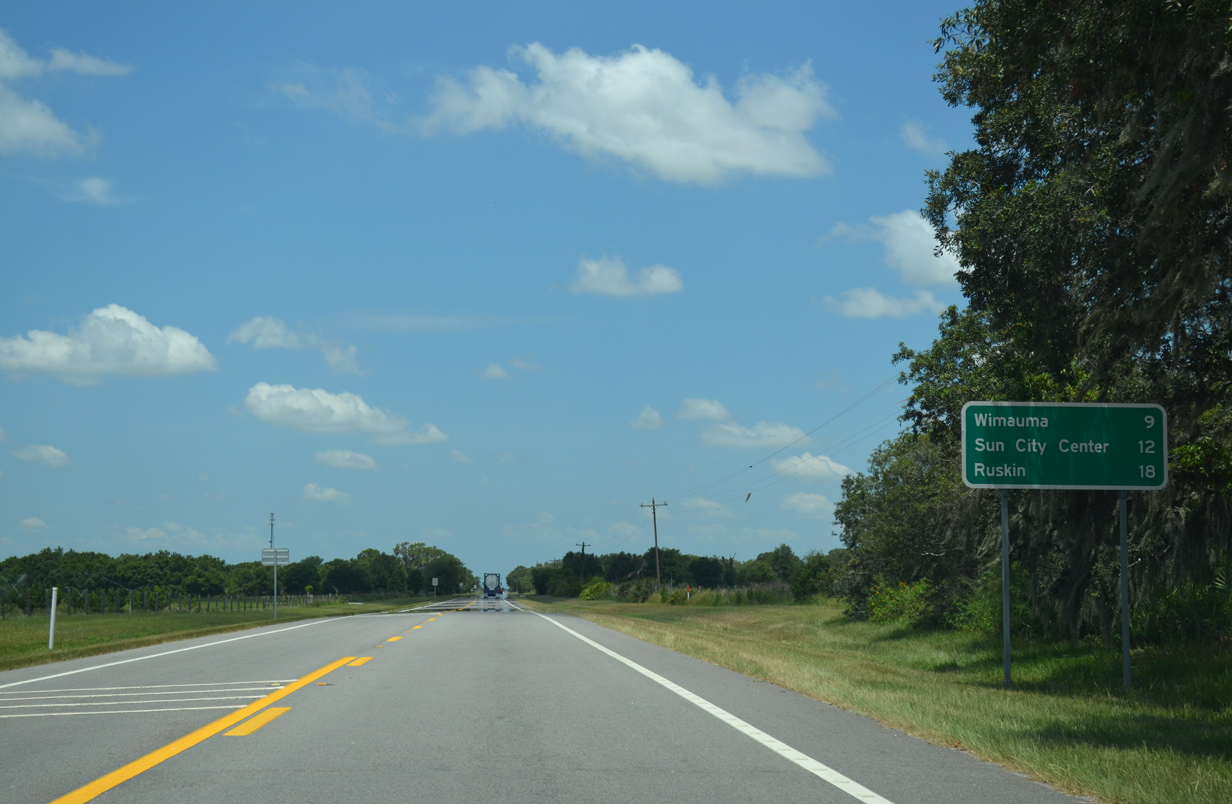
| Wimauma lies nine miles ahead, followed by the retirement community of Sun City Center in 12 miles and Ruskin in 18 miles. 06/30/14 |
|
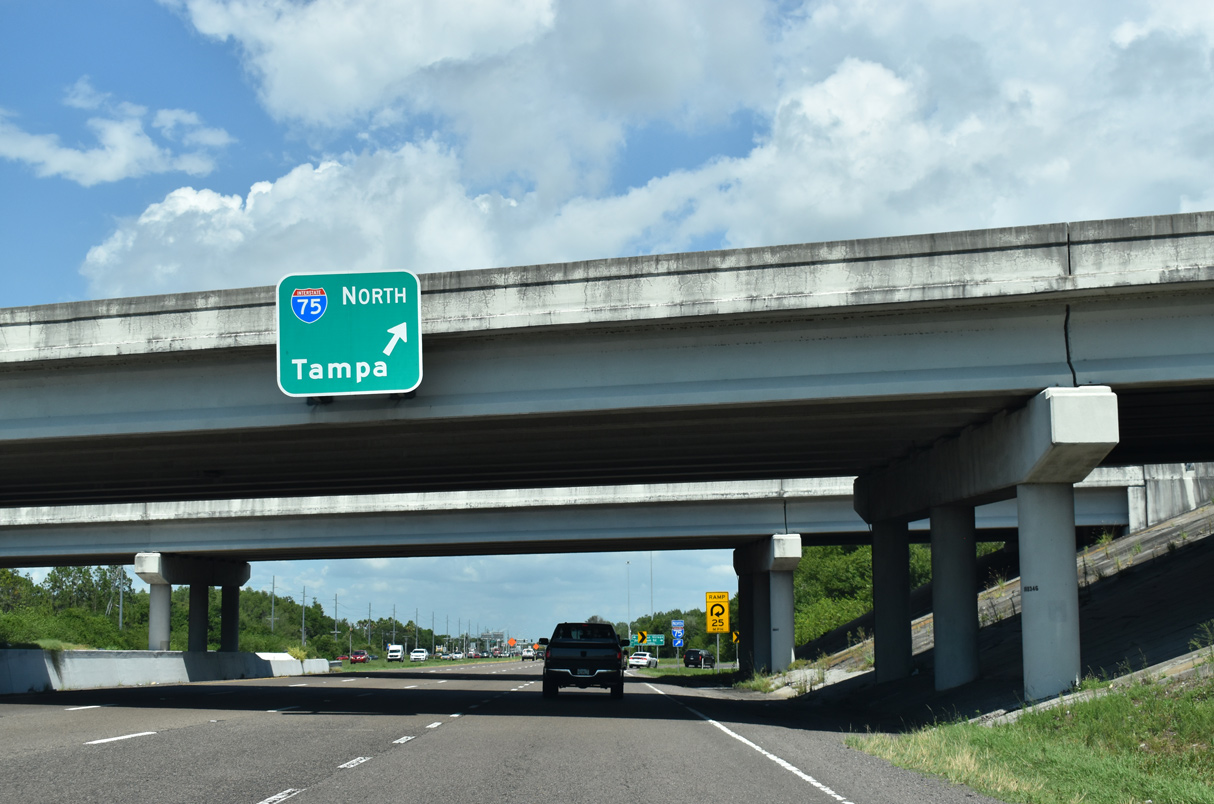
| A six-ramp parclo interchange joins Interstate 75 with SR 674 (Sun City Center Boulevard east / College Avenue west) at Exit 240. Pictured here is the approach to the southbound on-ramp to Bradenton and Sarasota. 11/24/07 |
|
| SR 674 follows College Avenue, a four lane arterial, from Interstate 75 west into Ruskin. 11/24/07 |
|
| 21st Street leads north from SR 674 to Shell Point Road and Hillsborough Community College Southshore and south across Interstate 75 to Little Manatee River Preserve. 11/24/07 |
|
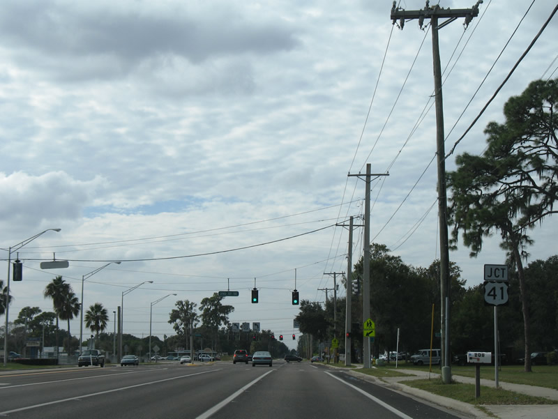
| SR 674 (College Avenue) enters the unincorporated town of Ruskin where it meets U.S. 41 (Tamiami Trail). College Avenue crosses 2nd Street Southeast in this scene. 11/24/07 |
|
| U.S. 41 (Tamiami Trail) travels north from the west end of SR 674 to Gibsonton and south to Sun City. 11/24/07 |
|
| College Avenue continues west across U.S. 41 (Tamiami Trail) into residential areas buffeted by Ruskin Inlet and the Little Manatee River. 11/24/07 |
Page Updated 02-28-2022.

 East
East