|
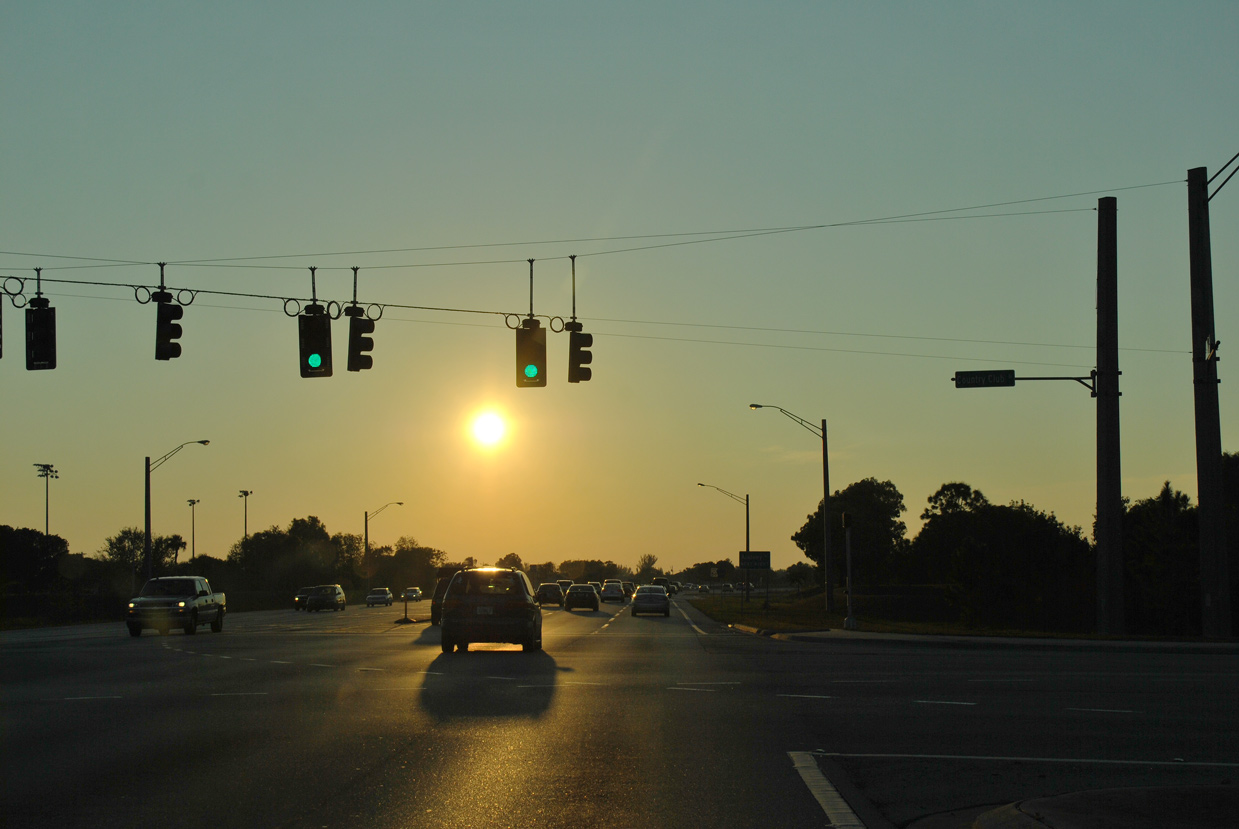
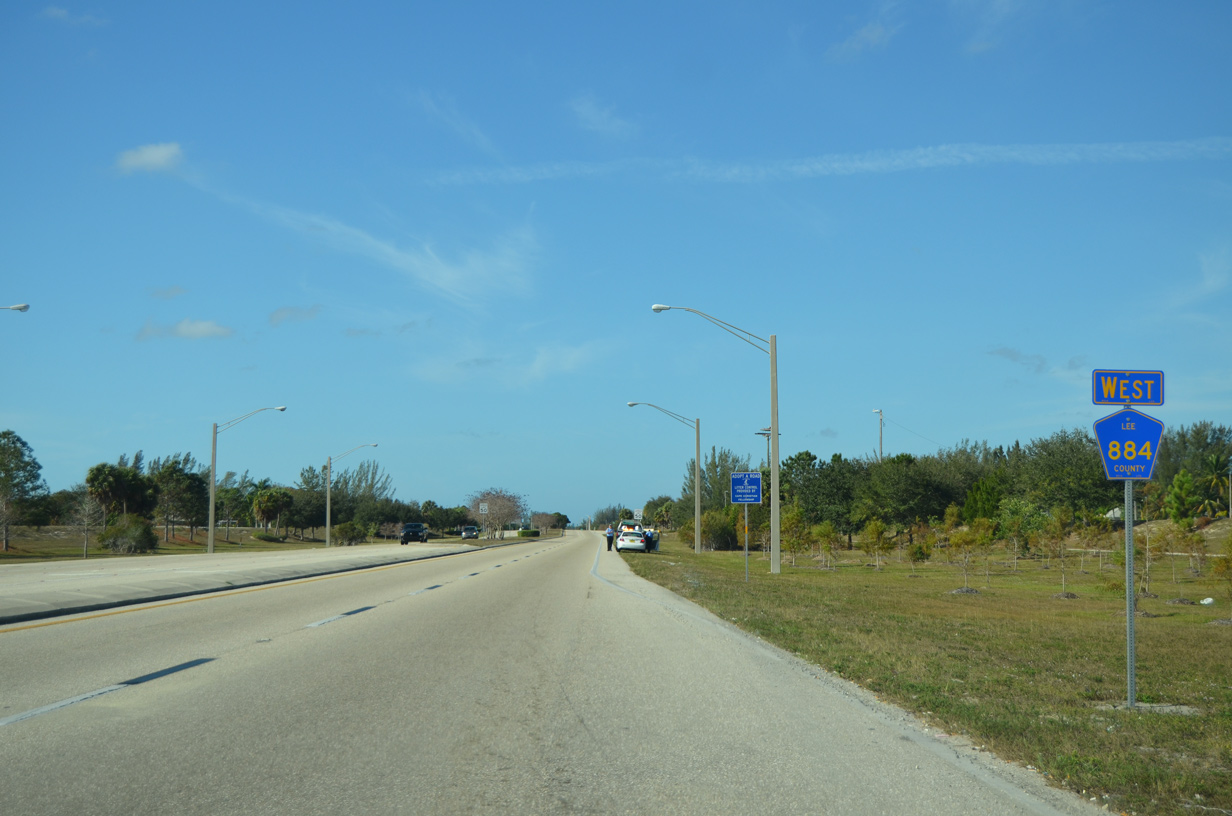
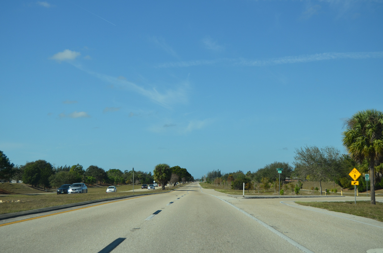
| CR 884 (Lee Boulevard) curves southwest by Crossroads Shopping Center to intersect State Road 82. 11/29/19 |
|
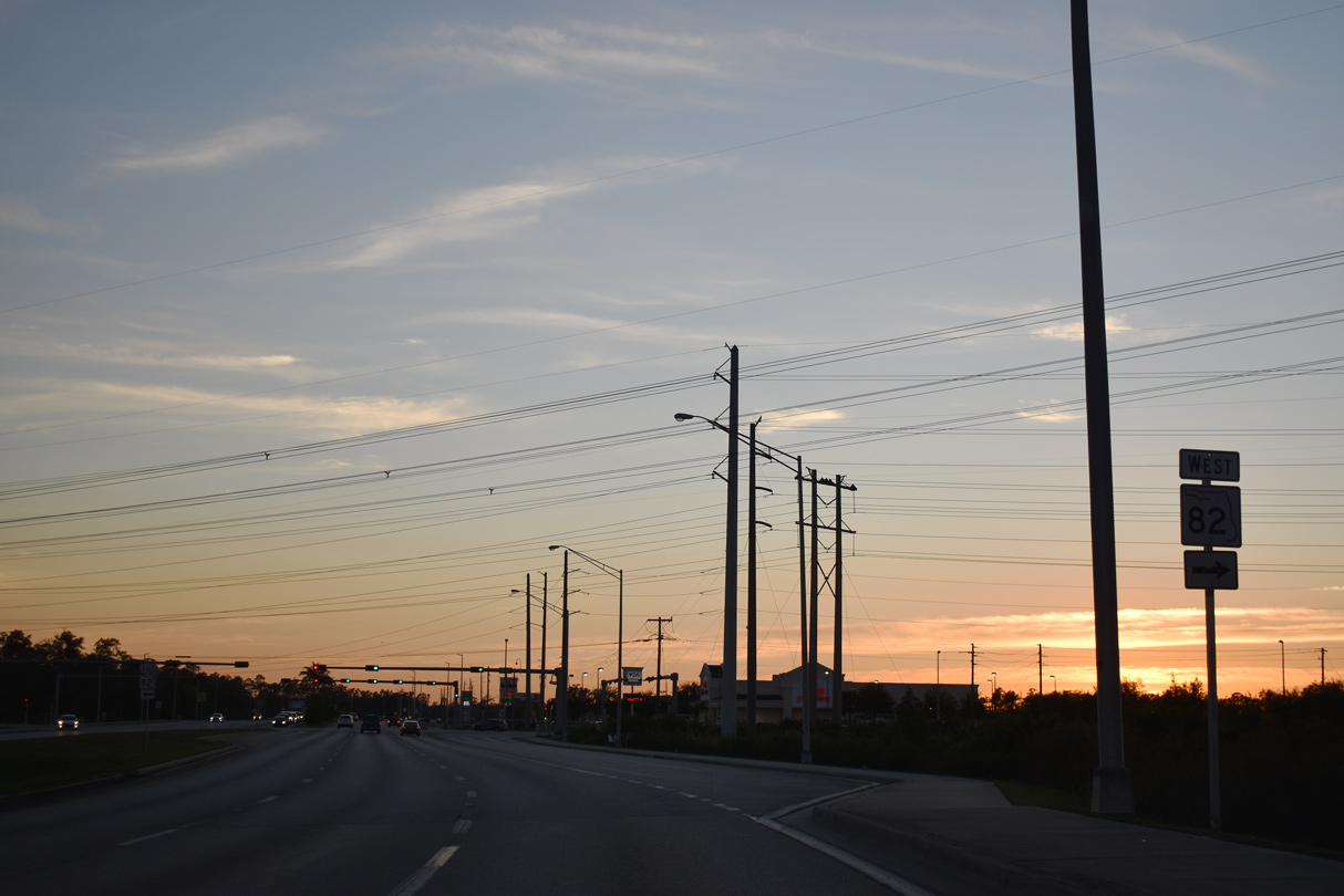
| SR 82 heads northwest from CR 884 (Lee Boulevard) to I-75, Dunbar and U.S. 41 (Cleveland Avenue) at Downtown Fort Myers. 11/29/19 |
|
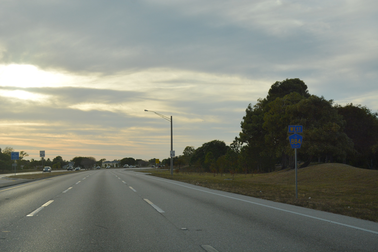
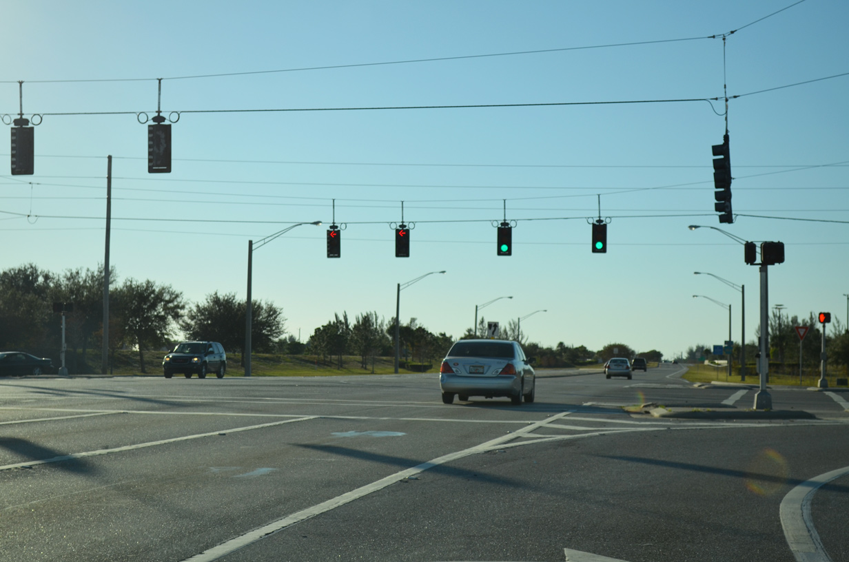
| SR 82 runs along the south side of Lehigh Acres southeast from CR 884 at Colonial and Lee Boulevards to SR 29 north of Immokalee. 11/29/19 |
|
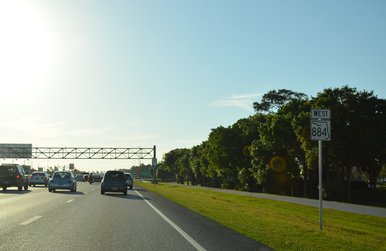
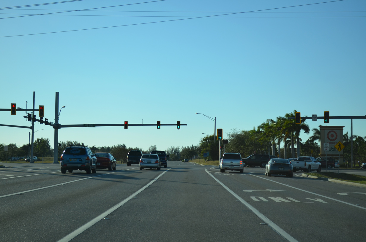
| Leading west from Treeline Avenue and the north end of CR 885, CR 884 (Colonial Boulevard) advances toward The Forum commercial development and Interstate 75. 11/30/19 |
|
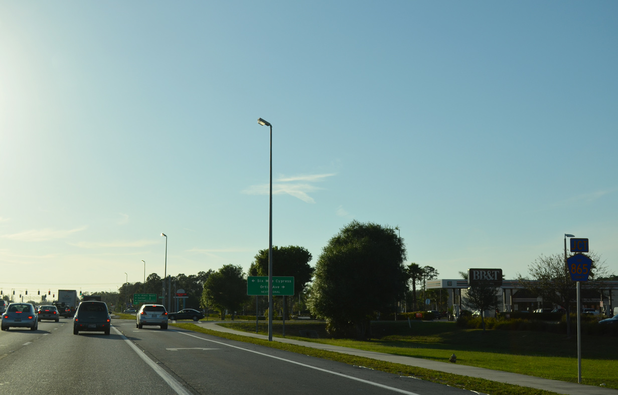
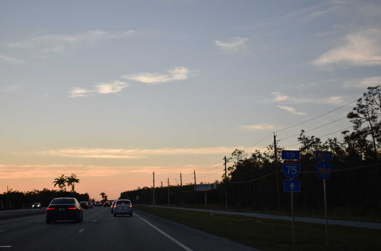
| Traffic travels along SR 884 (Colonial Boulevard) west from the Interstate 75 interchange toward central Fort Myers. A series of retail and medical facilities line both sides of the six lane corridor to the upcoming intersection with Ortiz Avenue and Six Mile Cypress Parkway. 03/04/14 |
|
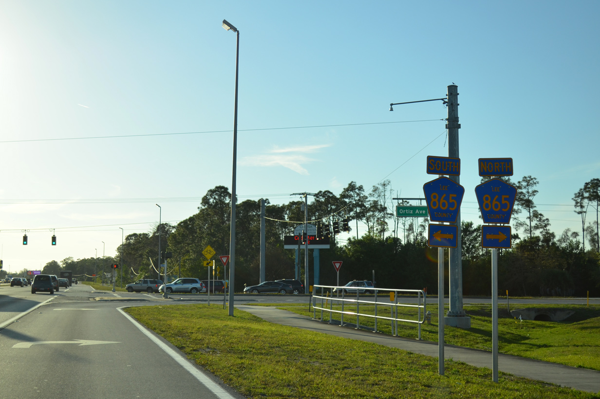
| Colonial Center Drive stems north a short distance on the initial approach to Lee County Road 865. The county road traverses 39.5 miles through Lee County from Tice to Bonita Springs via Fort Myers Beach. 03/04/14 |
|
| CR 865 north follows the length of Ortiz Avenue from Colonial Boulevard to State Road 80 (Palm Beach Boulevard) at Tice while Six Mile Cypress (Ben C. Pratt) Parkway carries the county road south, bordering the Six Mile Cypress Slough Preserve en route to U.S. 41 (Tamiami Trail) in South Fort Myers. Beyond U.S. 41, CR 865 continues along Gladiolus Drive to Iona and Fort Myers Beach. 03/04/14 |
|
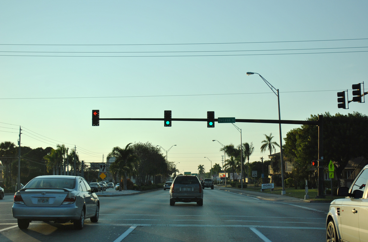
| CR 884 (Colonial Boulevard) meets DeLeon Street at a signalized intersection west of the SPUI with U.S. 41 (Cleveland Avenue). 11/24/12 |
|
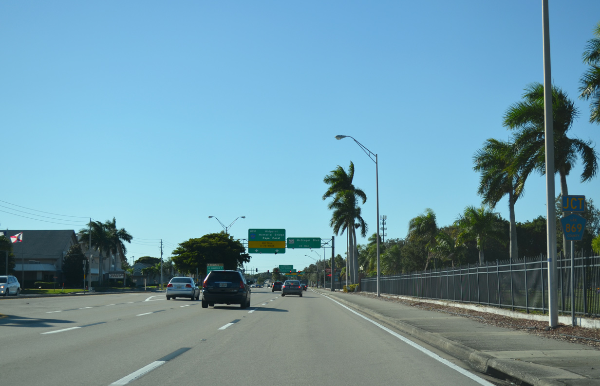
| CR 884 (Colonial Boulevard) passes south of Fort Myers Memorial Gardens on the approach to CR 869 (Summerlin Road) south. 11/22/12 |
|
| Summerlin Road leads CR 869 south from Colonial Boulevard toward area beaches. Constructed during the 1980s, the county road is primarily a controlled-access arterial with interchanges at major crossroads. 11/22/12 |
|
| Typically a well travelled corridor, CR 869 extends 11.6 miles south and west connecting CR 884 with Iona (via SR 867), Fort Myers Beach (via SR 865), and Sanibel Island (via CR 867). Sommerset Drive leads north from Colonial Boulevard to serve McGregor Reserve gated subdivision. 11/22/12 |
|
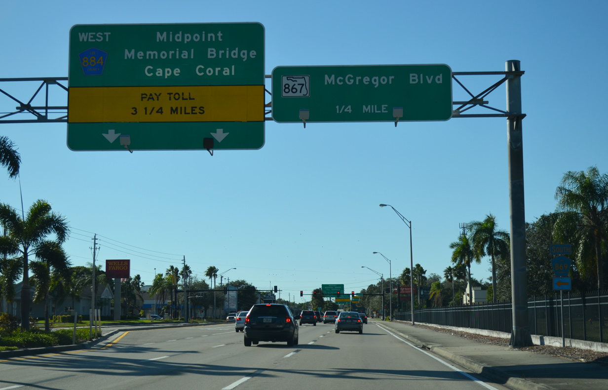
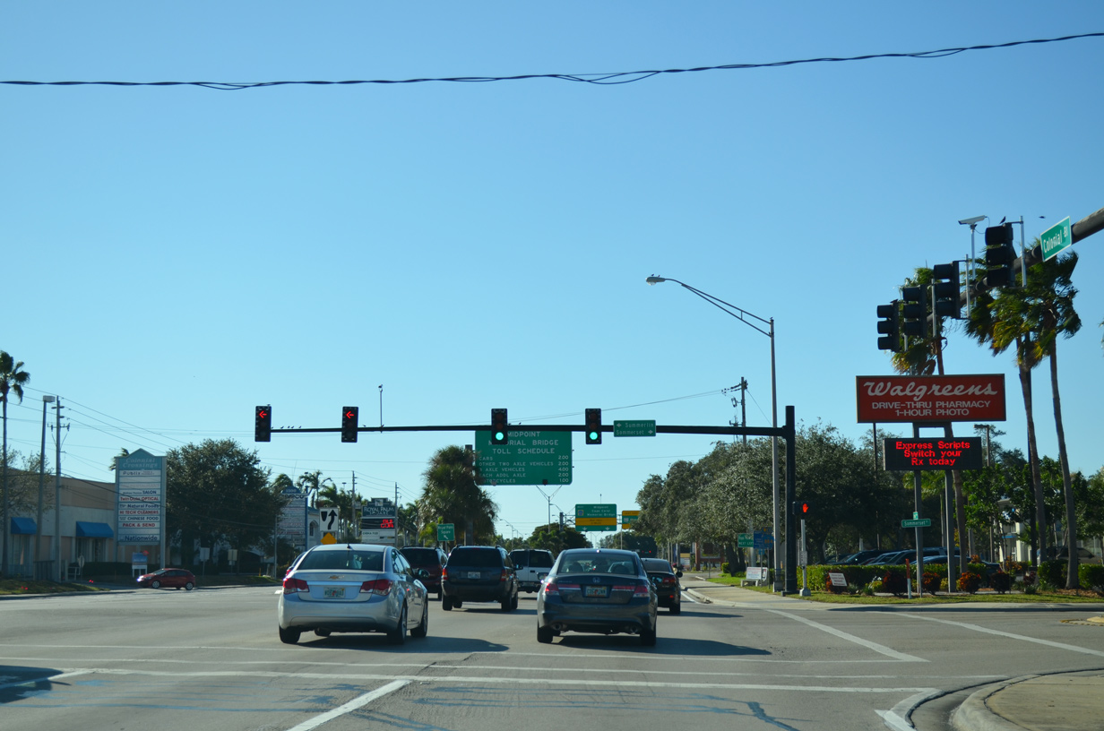
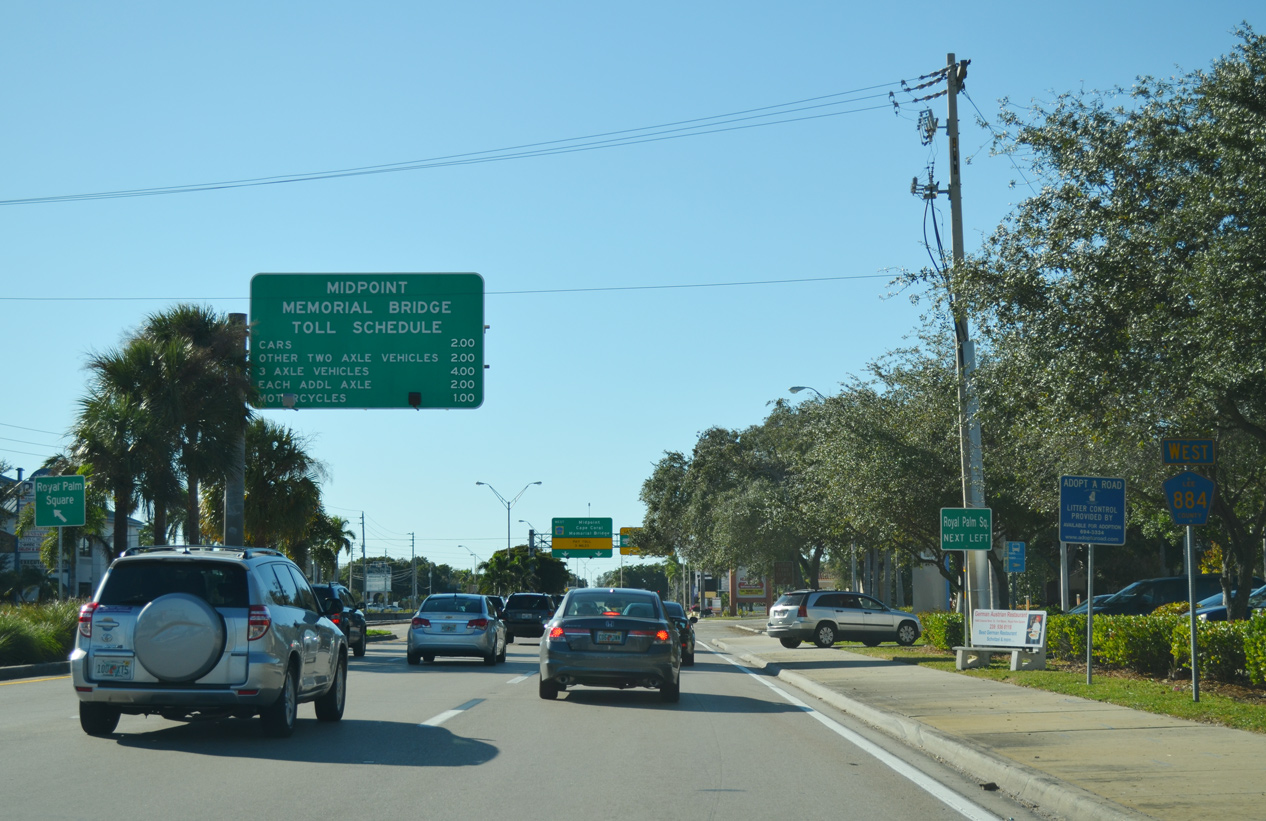
| Following Summerlin Road (CR 869), Colonial Boulevard (CR 884) advances toward the Midpoint Memorial Bridge across the Caloosahatchee River. Drivers are alerted well in advance of the tolls levied at the forthcoming plaza beyond the bridge. 11/22/12 |
|
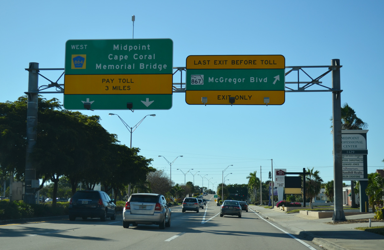
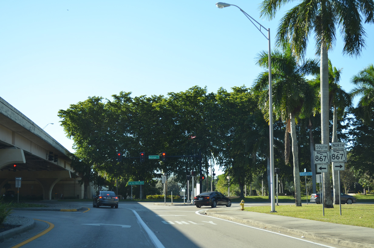
| Traffic leaves for several businesses and SR 867 (McGregor Boulevard) as CR 884 continues ahead to the Midpoint Memorial Bridge. SR 867 travels south along McGregor Boulevard to Iona where the state road meets SR 865 (Gladiolus Drive/San Carlos Boulevard) and CR 867. 11/22/12 |
|
| Royal palms line McGregor Boulevard nearly its entire length from downtown Fort Myers to Iona, making it one of the more iconic routes in the City of Palms. SR 867 formerly continued north along McGregor Boulevard from Colonial Boulevard (CR 884) until the state relinquished control to the city in the mid 2000s. Some shields for the former route remain in place. 11/22/12 |
|
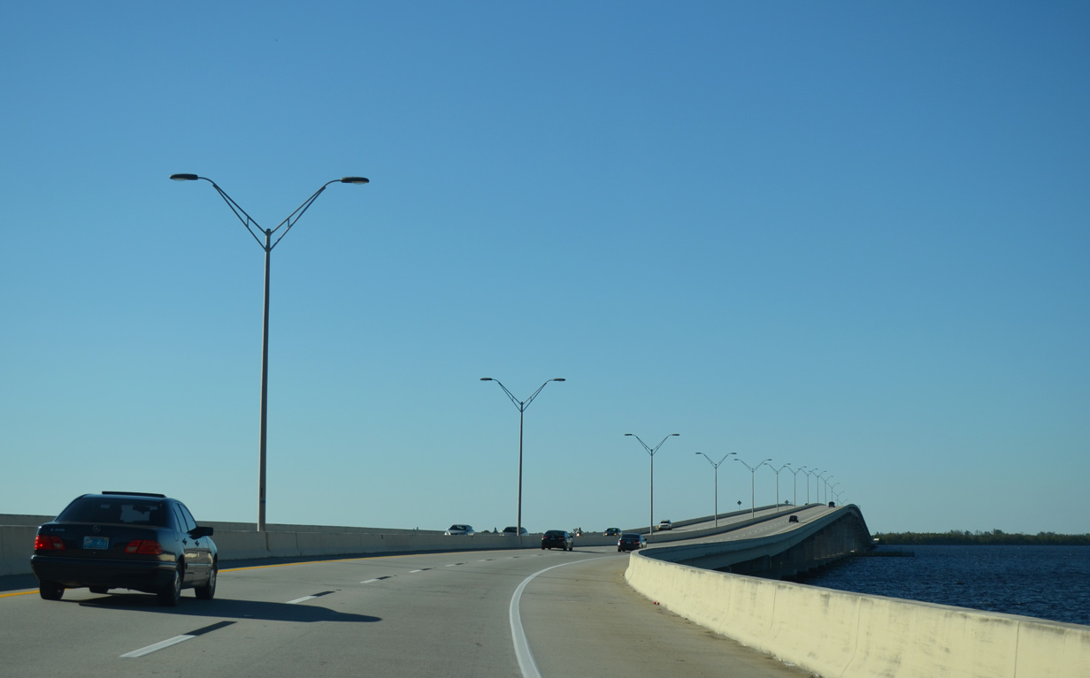
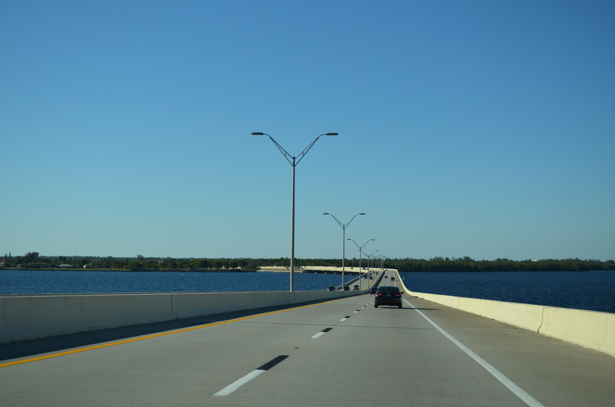
| The Midpoint Memorial Bridge provides an essential connection between central Fort Myers and Cape Coral. Taking over 20 years of planning, design and construction, the four lane mid-rise span opened to motorists October 19, 1997. 11/22/12 |
|
| Descending from the 55-foot crest of the Midpoint Memorial Bridge, motorists prepare to enter the city of Cape Coral. CR 884 recurves west to parallel SE 24th Street en route to Del Prado Boulevard (CR 867A) and beyond. 11/22/12 |
|
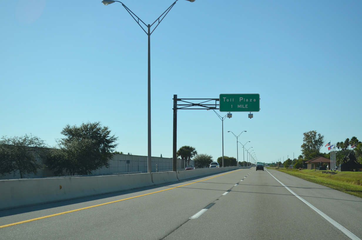
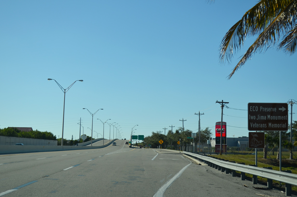
| County Road 884 (Veterans Memorial Parkway) west remains a limited-access expressway to the approaching toll plaza, passing by the Iwo Jima War Memorial replica statue and Four Mile Cove Ecological Preserve. The preserve and statue are both accessed via SE 24th Street, which lines Veterans Memorial Parkway to the north. 11/22/12 |
|
| A sound wall separates CR 884 from residences and Everest Parkway one half mile out from the mainline toll plaza. 11/22/12 |
|
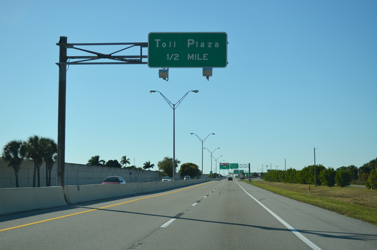
| Those with transponders are encouraged to remain left and maintain speed as they approach the forthcoming toll plaza. 11/22/12 |
|
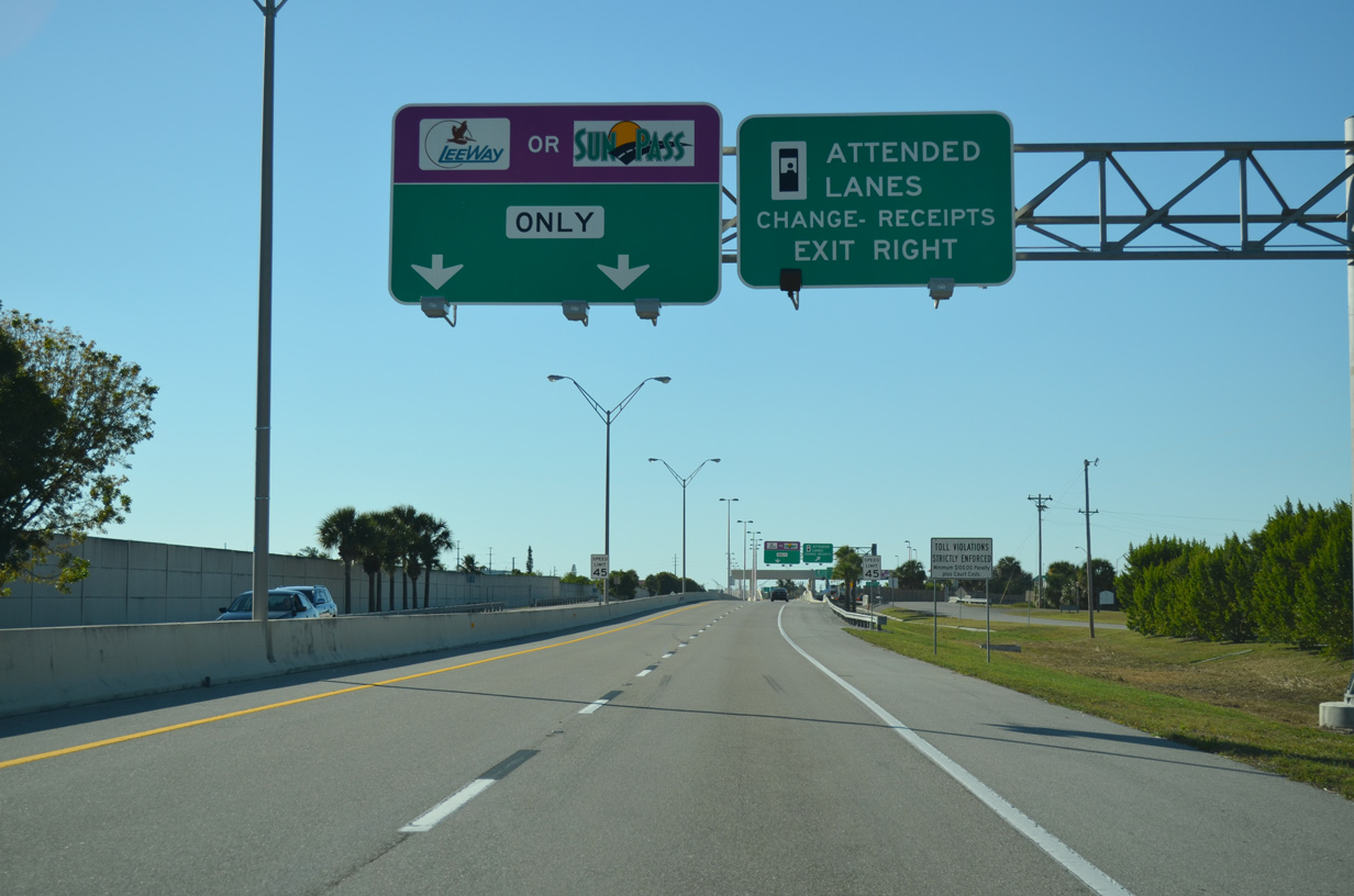
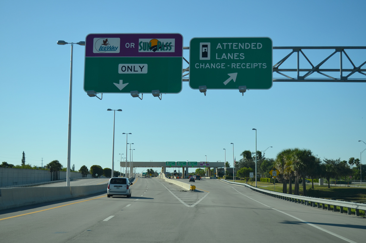
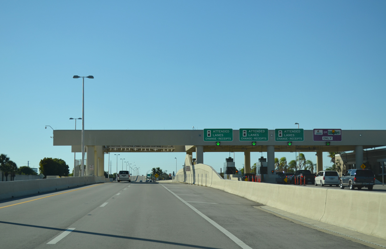
| Commuters paying with cash are directed to enter the attended plaza. The toll plaza has been modified throughout its life span, including the conversion of electronic open road tolling (ORT) lanes. 11/22/12 |
|
| SE 17th Place extends north from CR 884 (Veterans Memorial Parkway) bordering the Coralwood shopping center to the east. Access to both the Iwo Jima Memorial and Four Mile Cove Ecological Preserve are gained via SE 17th Place and SE 23rd Terrace. 11/22/12 |
|
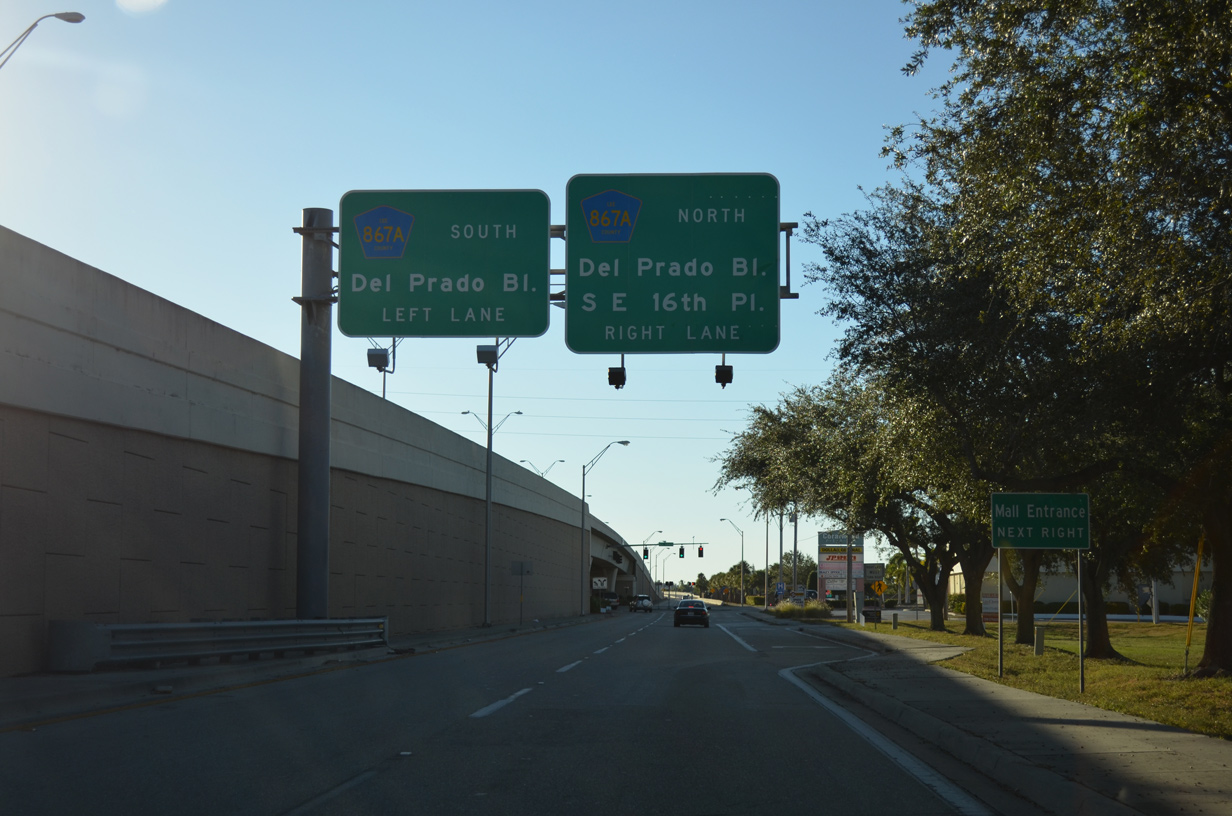
| Del Prado Boulevard represents the major north-south thoroughfare within Cape Coral, linking CR 884 with downtown Cape Coral to the south and North Fort Myers to the north. CR 867A appears on guide signs leading to Del Prado Boulevard, but overall signage is non-existent along its entire stretch within Cape Coral. SE 16th Place departs north for Coralwood shopping center immediately preceding the signal ahead. 11/22/12 |
|
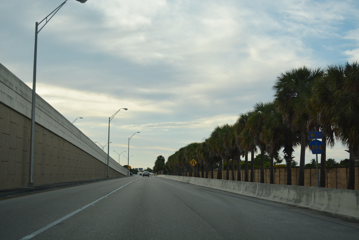
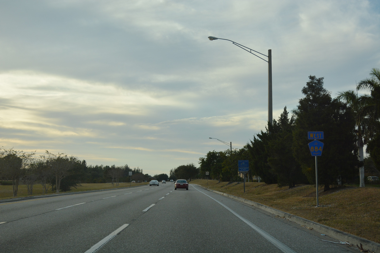
| Traffic merges ahead onto CR 884 (Veterans Memorial Parkway) as it continues westward through Cape Coral toward Santa Barbara Boulevard. 11/26/16 |
|
| CR 884 spans Rubicon Canal ahead of Country Club Boulevard. 11/24/12 |
|
| Veterans Memorial Parkway turns back to the west beyond Country Club Boulevard and across San Carlos Canal. A turn lane leads to Academy Boulevard north ahead. Academy Boulevard runs parallel to Country Club Boulevard to Nicholas Parkway. 11/26/16 |
|
| Santa Barbara Boulevard represents a major north-south corridor that divides Cape Coral into its eastern and western components. The signalized intersection was built with provisions as a future single point urban interchange (SPUI). 11/22/12 |
|
| Veterans Memorial Parkway travels south of Midpoint shopping center beyond Santa Barbara Boulevard and then shifts northward toward Skyline Boulevard. 11/26/16 |
|
| CR 884 reduces to four lanes at its crossing with Skyline Boulevard. Skyline Boulevard stems north to meet Trafalgar Boulevard and SR 78 (Pine Island Road) otherwise it continues south toward Gleason and Cape Coral Parkways. 11/22/12 |
|
| The final confirming marker for CR 884 stands beyond Skyline Boulevard. The arterial extends another 4.8 miles through west Cape Coral to Pine Island Road. 12/26/16 |
|
| SW 11th Avenue leads north from Veterans Memorial Parkway a short distance toward the south end of Palmetto-Pine Country Club golf course. 12/26/16 |
|
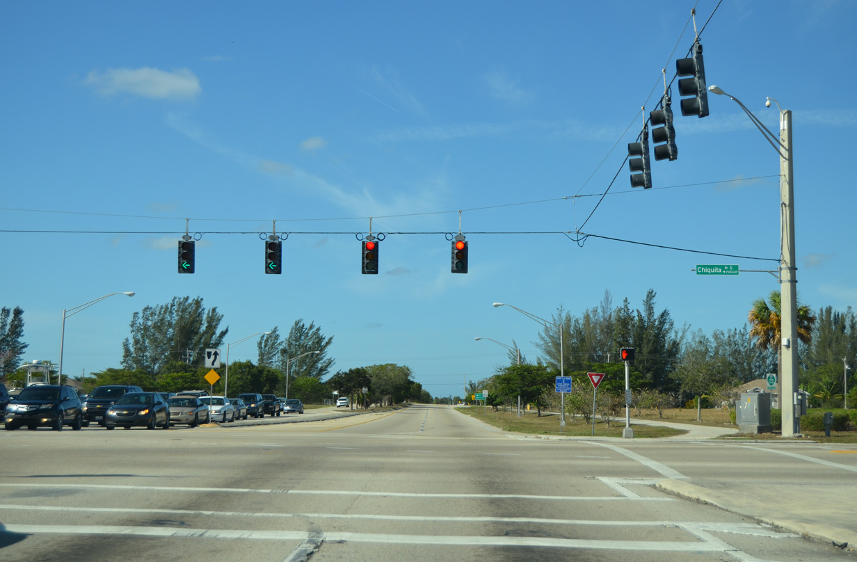
| CR 884 west next meets Chiquita Boulevard at this signalized intersection. Chiquita Boulevard is the last major north-south arterial that connects Veterans Memorial Parkway directly with Cape Coral Parkway to the south. 12/26/16 |
|
| SW 17th Place extends south through residential neighborhoods from Trafalgar Parkway and ties into CR 884 west ahead. 12/26/16 |
|
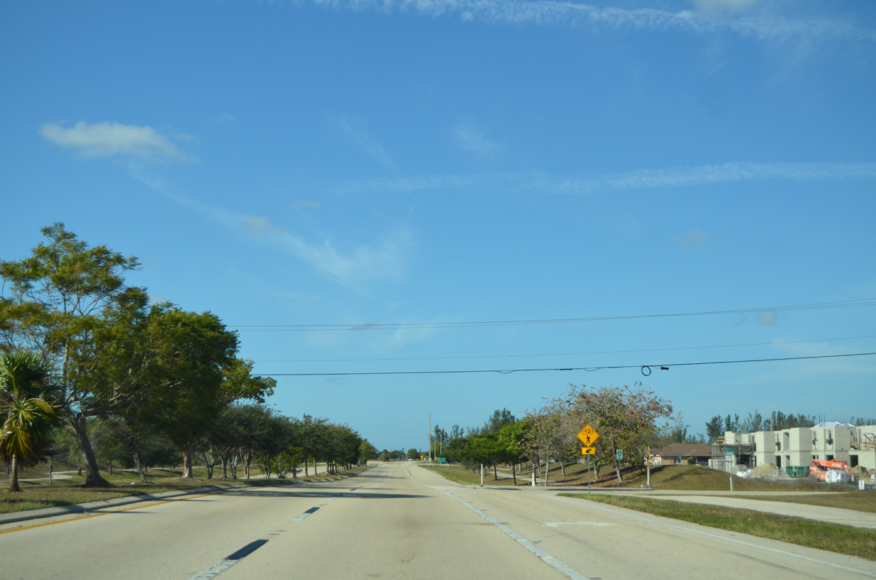
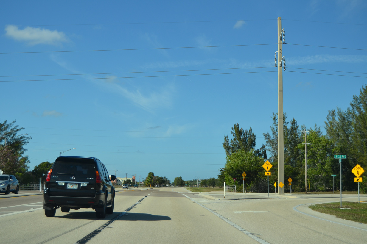
| Veterans Memorial Parkway bisects SW 20th Avenue en route to Surfside Boulevard and SR 78 (Pine Island Road). 20th Avenue stems north along a transmission line corridor to Pine Island Road. 12/26/16 |
|
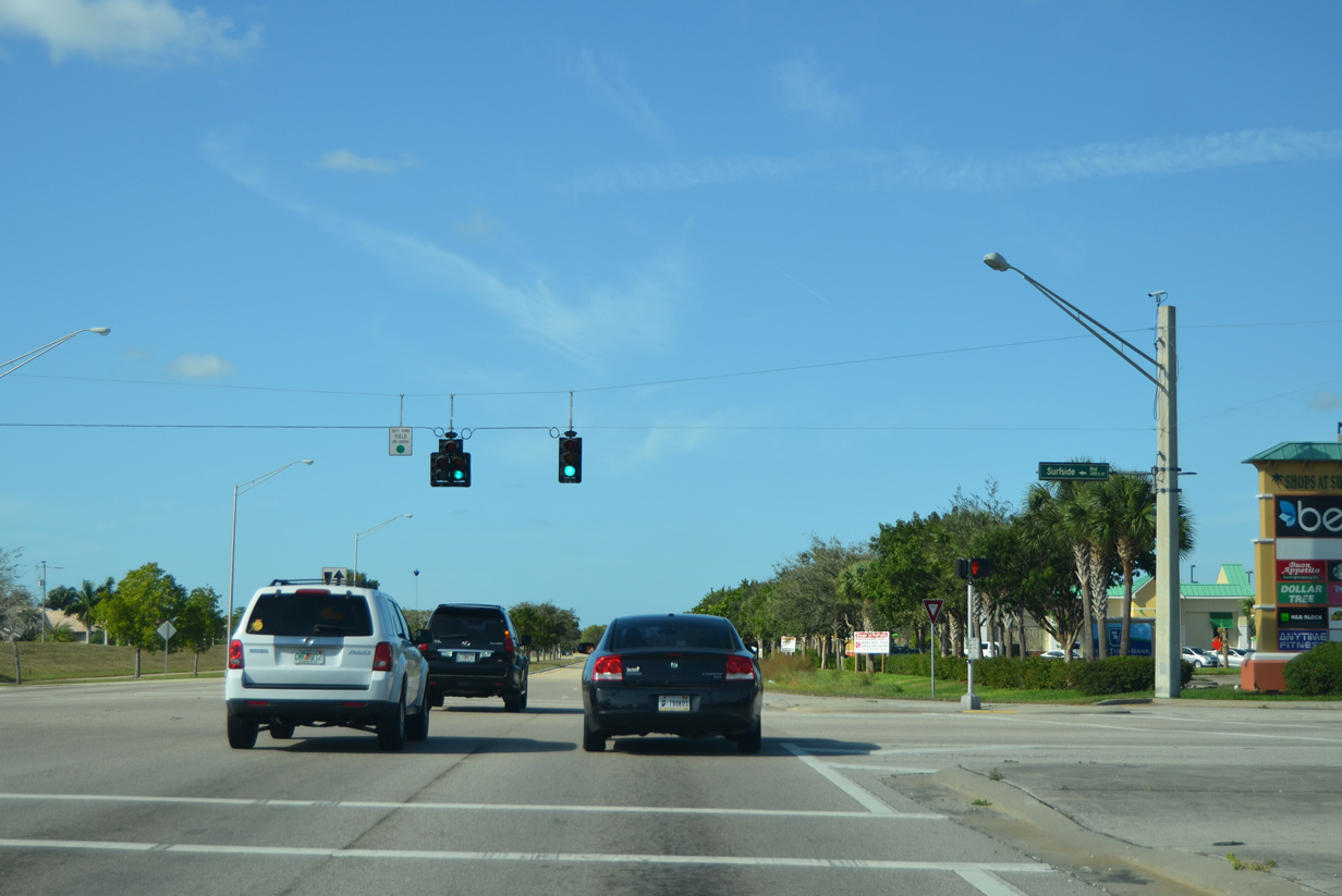
| Surfside Boulevard ties into CR 884 near the Shops at Surfside shopping center. The north-south corridor links Veterans Memorial Parkway with Trafalgar Parkway to the north and Beach Parkway to the south. 12/26/16 |
|
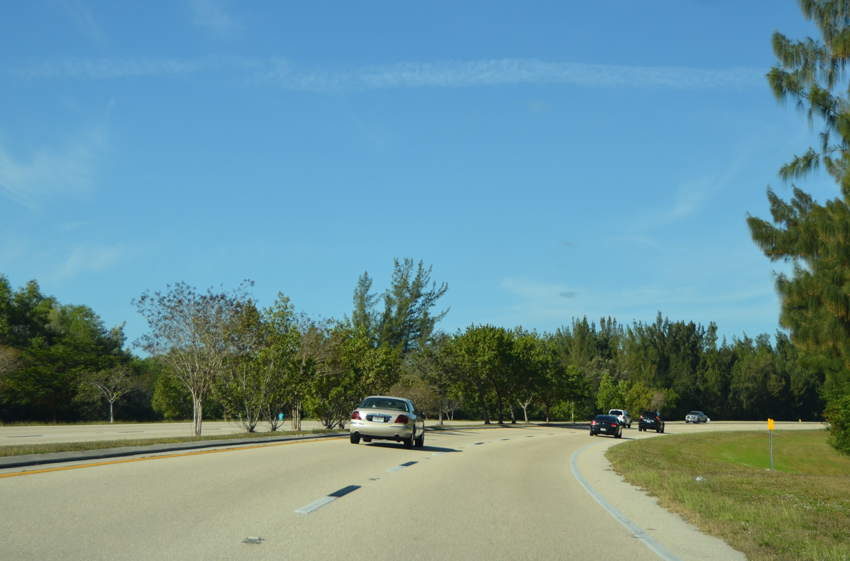
| Beyond Surfside Boulevard, CR 884 begins its northward curve toward Pine Island Road (SR 78 / Lee County Road 78) and Burnt Store Road (Lee County Road 765). 12/26/16 |
|
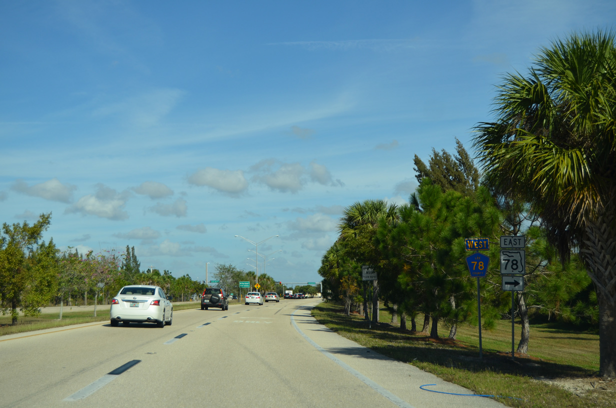
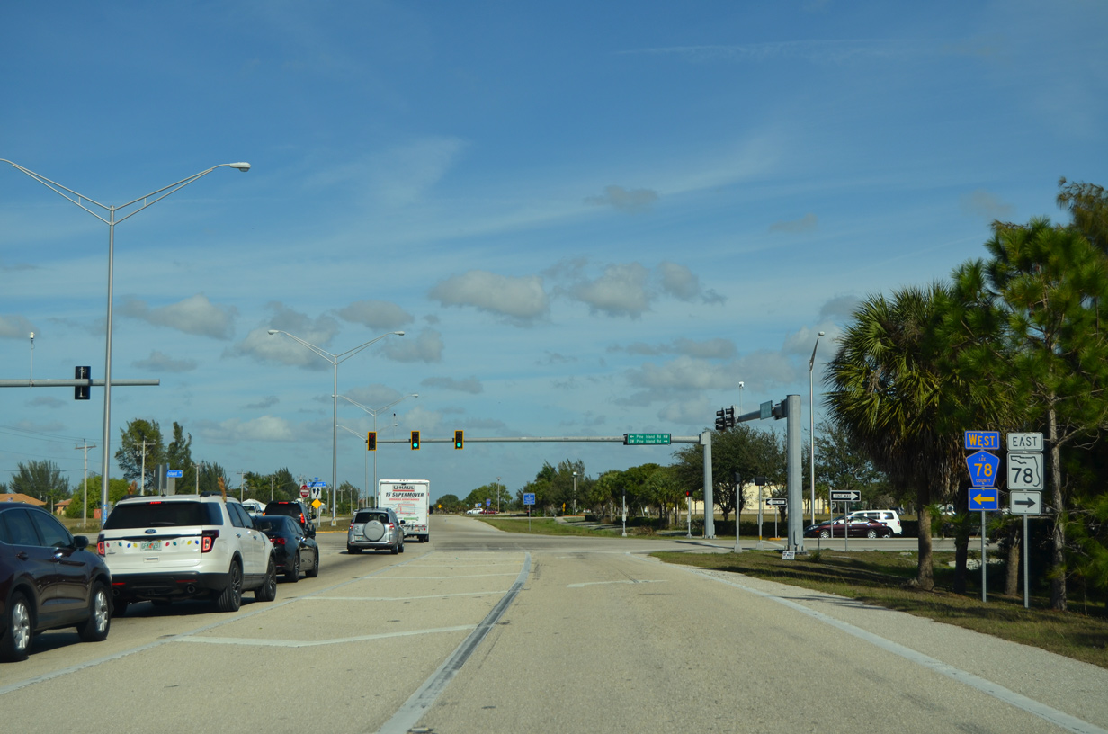
| Traveling to the west of Royal Tee Country Club, Lee County Road 884 (Veterans Memorial Parkway) prepares to meet SR 78 and CR 78 at a signal ahead. 12/26/16 |
|
| CR 884 west concludes its 37.6 mile course through Lee County as it ties into the intersection with Pine Island and Burnt Store Roads. State Road 78 follows Pine Island road northeast through Cape Coral toward North Fort Myers while its county road component (CR 78) leads west to both Matlacha and Pine Island. Burnt Store Road carries Lee County Road 765 north 9.2 miles into Charlotte County where the county road continues to U.S. 41 and CR 768 (North Jones Loop Road) south of Punta Gorda. 12/26/16 |
Page Updated 12-02-2019.

 West
West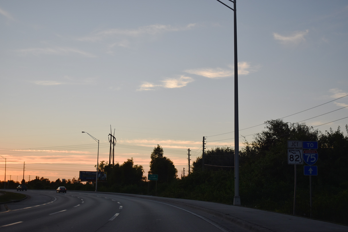
 West
West