|
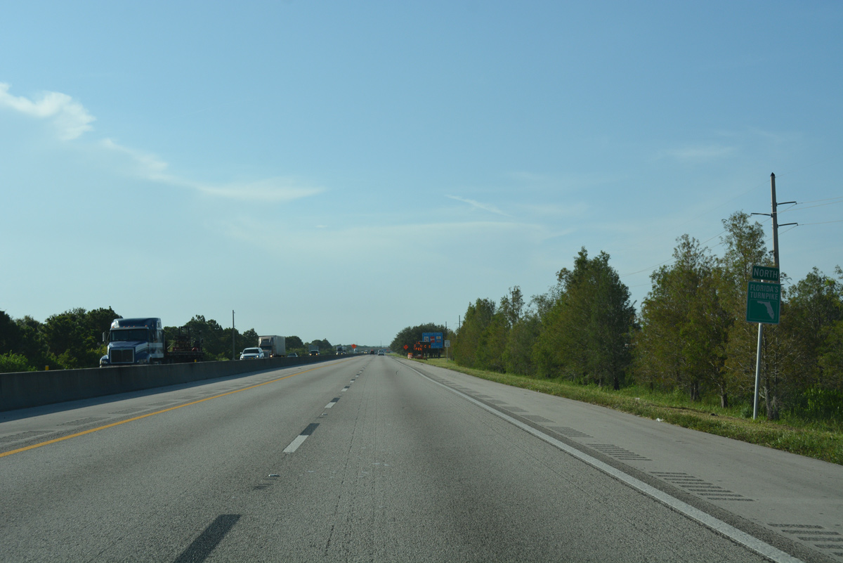
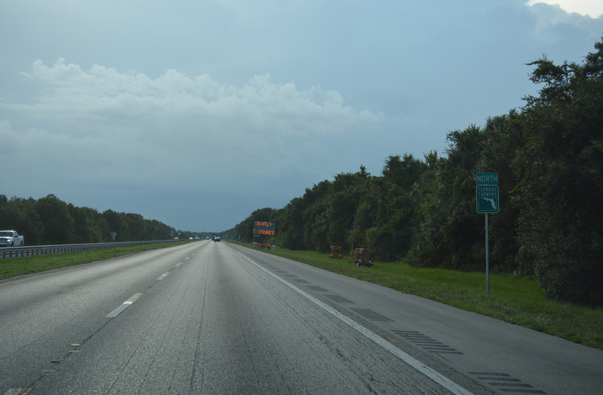
| A 17.8 mile exit less stretch leads Florida's Turnpike northwest to the community of Palm City. 07/26/17 |
|
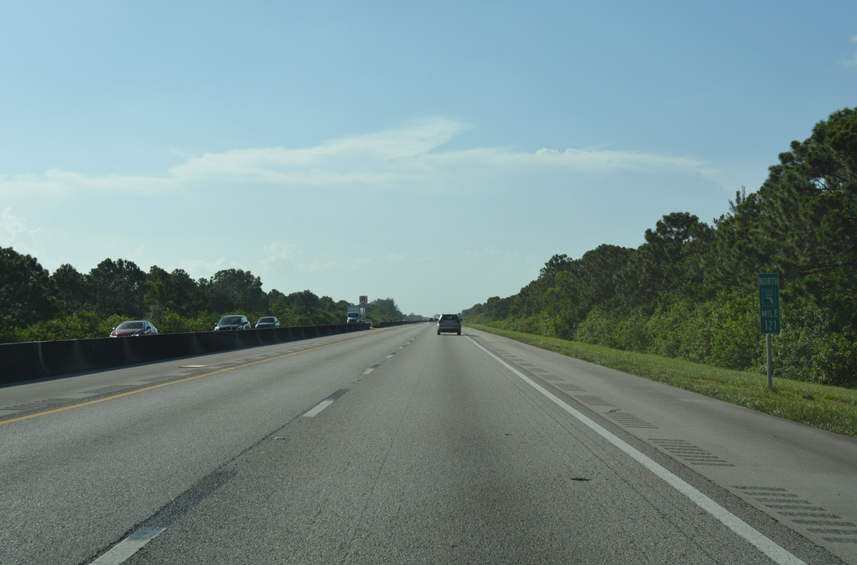
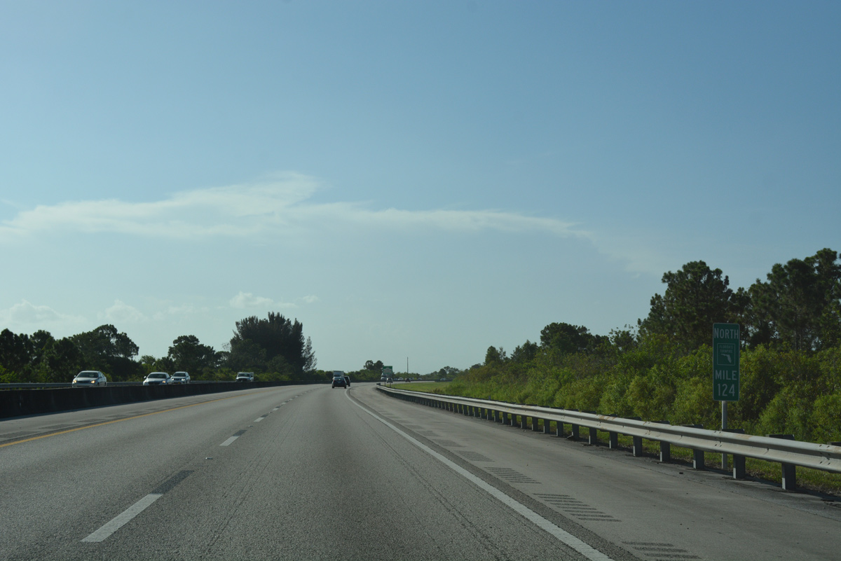
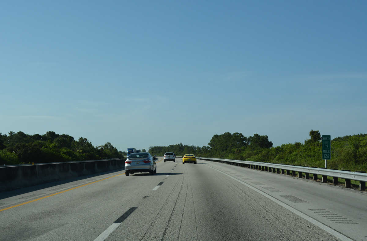
| Florida's Turnpike makes a sweeping S-curve north between mileposts 124 and 126. The four lane toll road separates from parallel I-95 as the freeway meets Martin County Road 708 (SE Bridge Road) at a diamond interchange. 07/26/17 |
|
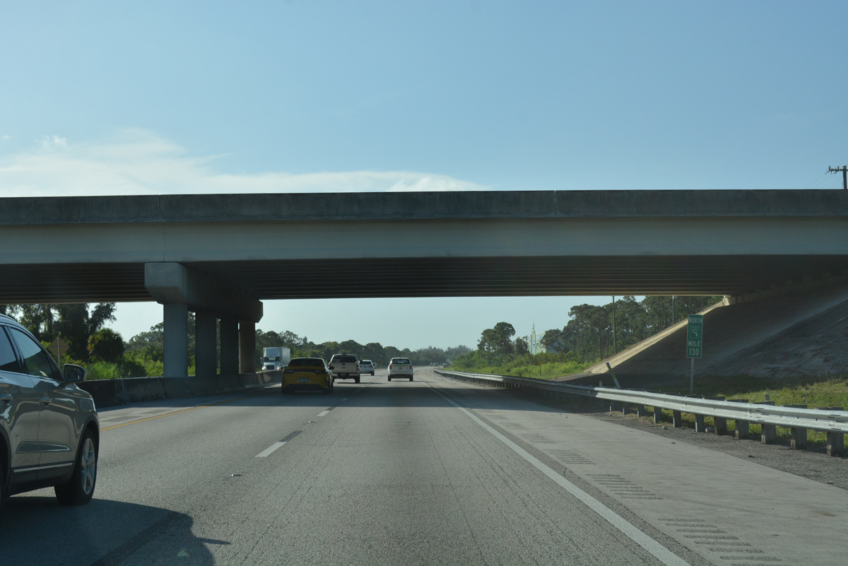
| SR 76 (Kanner Highway) crosses over Florida's Turnpike at milepost 130 en route northeast from Indiantown to Stuart. There is no access between the two routes. 07/26/17 |
|
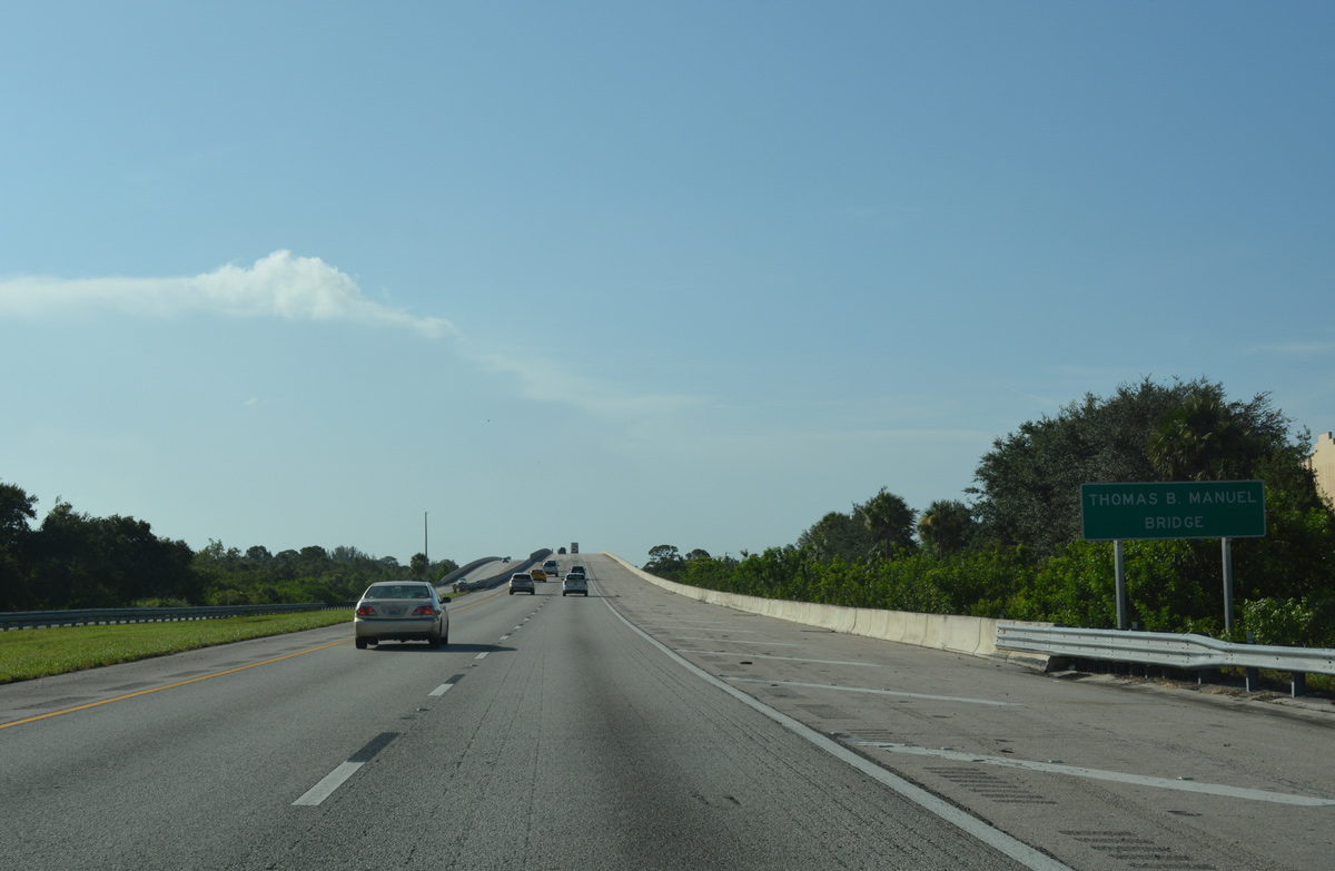
| The Thomas B. Manuel Bridge carries Florida's Turnpike across St. Lucie Canal. Both bridges were built to accommodate expansion of the toll road to six overall lanes. 07/26/17 |
|
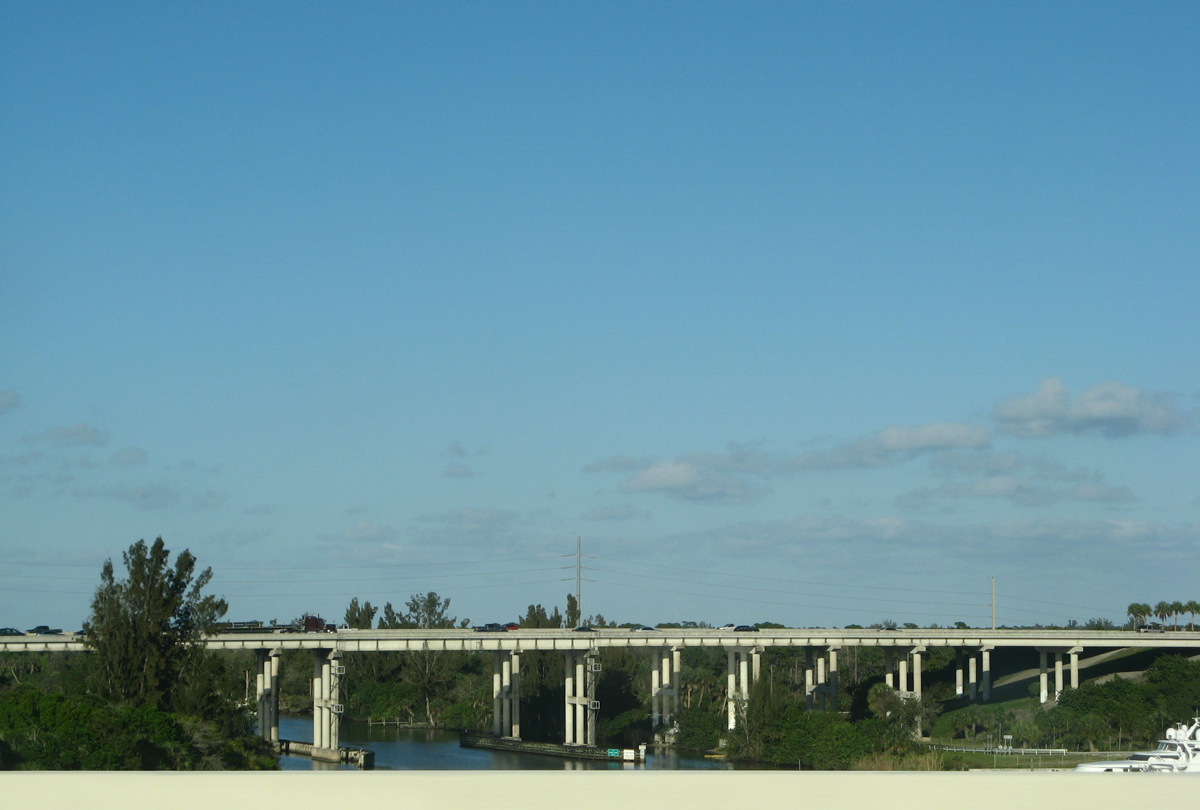
| Interstate 95 spans St. Lucie Canal just east of the Turnpike on pair of three-lane spans. 02/16/08 |
|
| Martin County Road 713 (High Meadow Avenue) stems north from an adjacent folded diamond interchange (Exit 102) with Interstate 95 northward into Palm City. 02/16/08 |
|
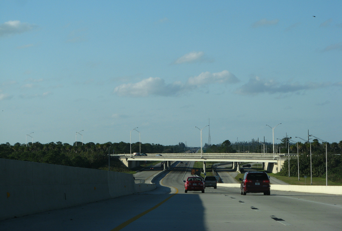
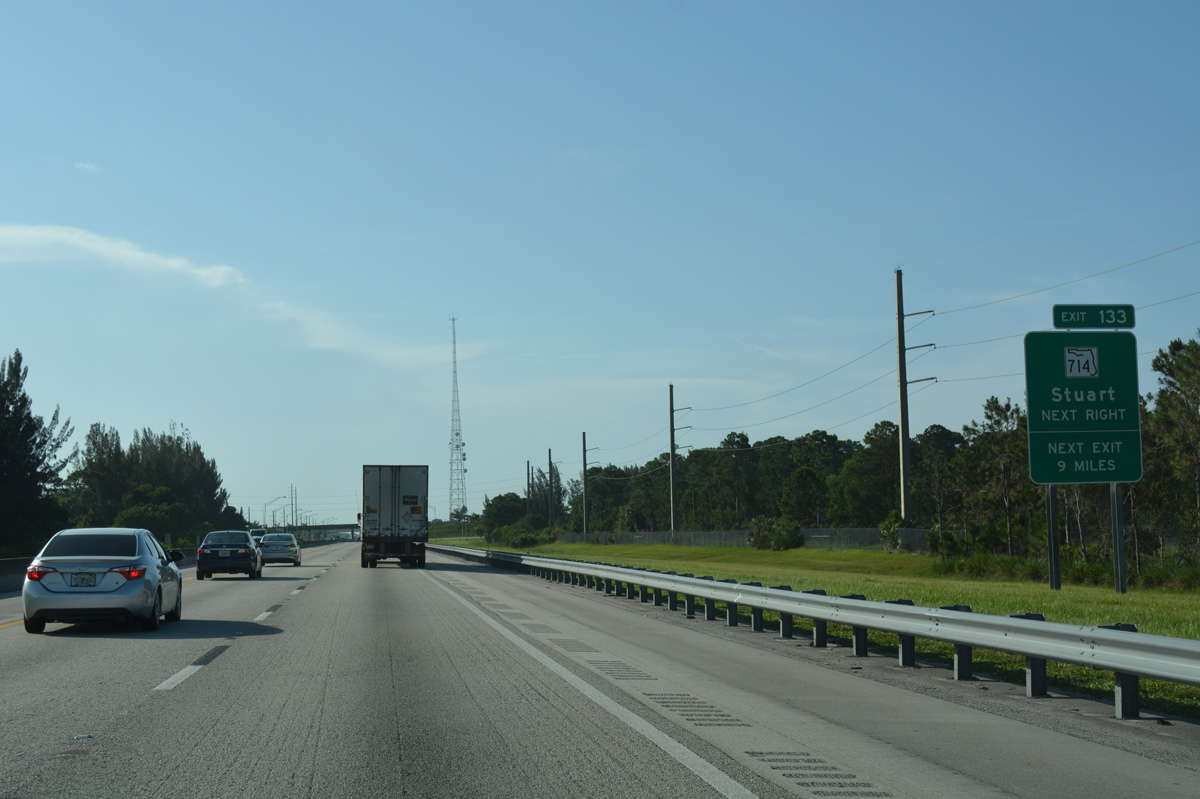
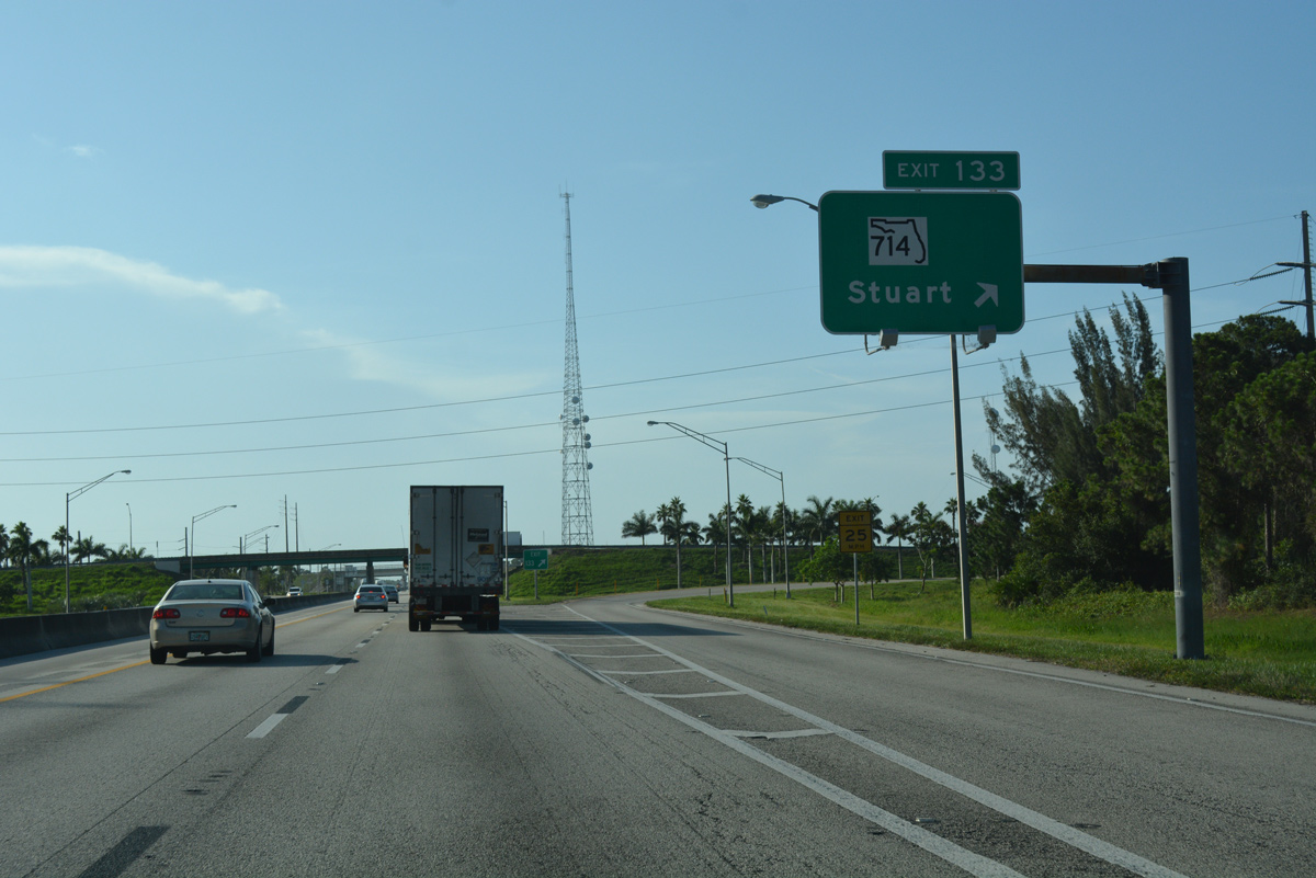
| Interstate 95 shifts sides with Florida's Turnpike, looping west and north into St. Lucie County. Advancing north from I-95, the Turnpike continues 2.5 miles to Exit 133 with SR 714 (Martin Highway). 07/26/17 |
|
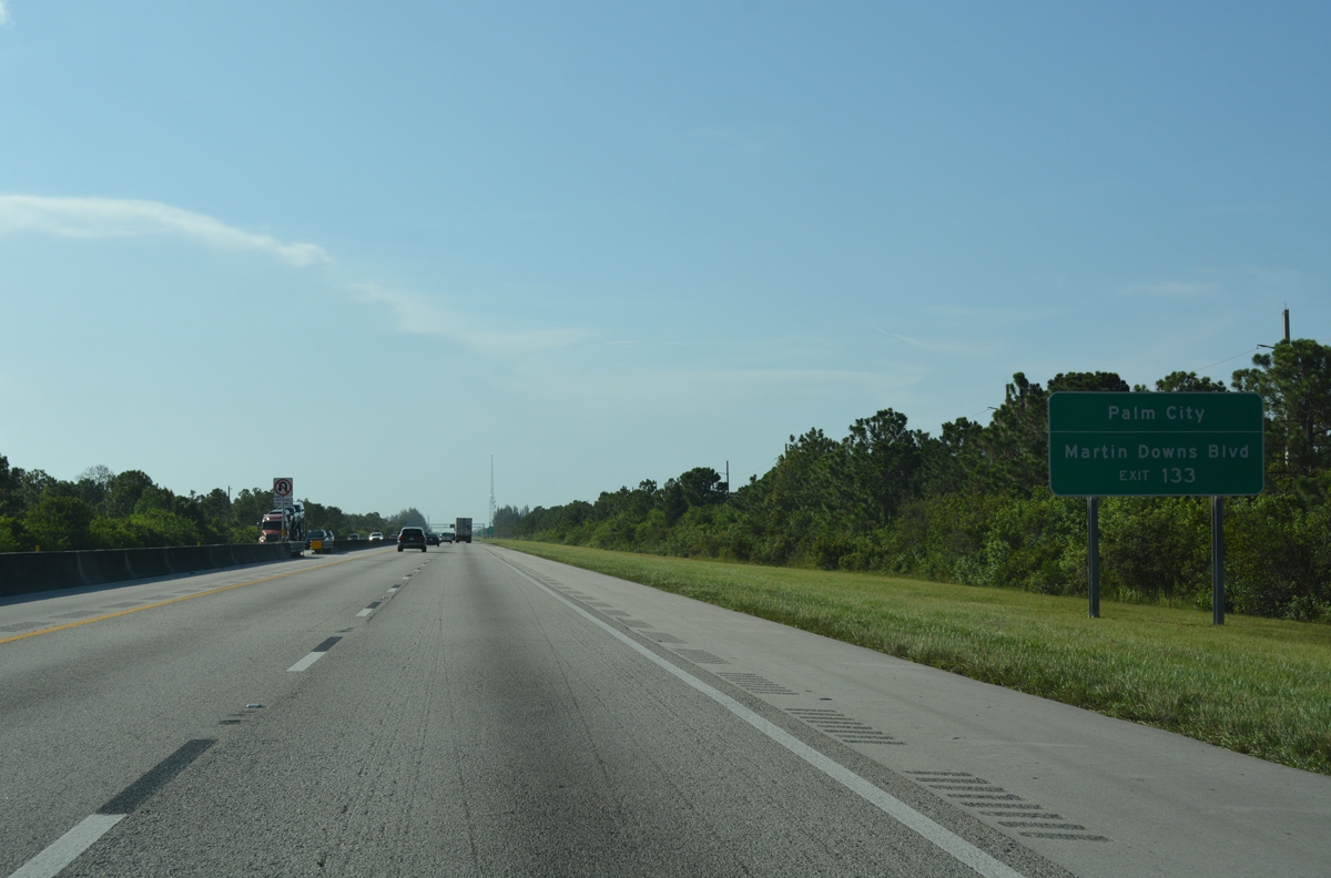
| The access road from Exit 133 ties into the SR 714 turn from Martin Highway to Martin Downs Boulevard. Martin Downs Boulevard forms an arterial bypass of Palm City east to a high rise bridge across the St. Lucie River South Fork. 07/26/17 |
|
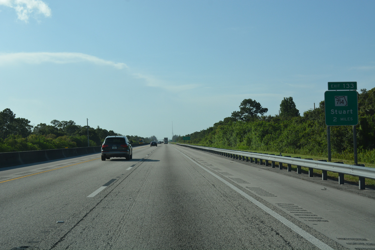
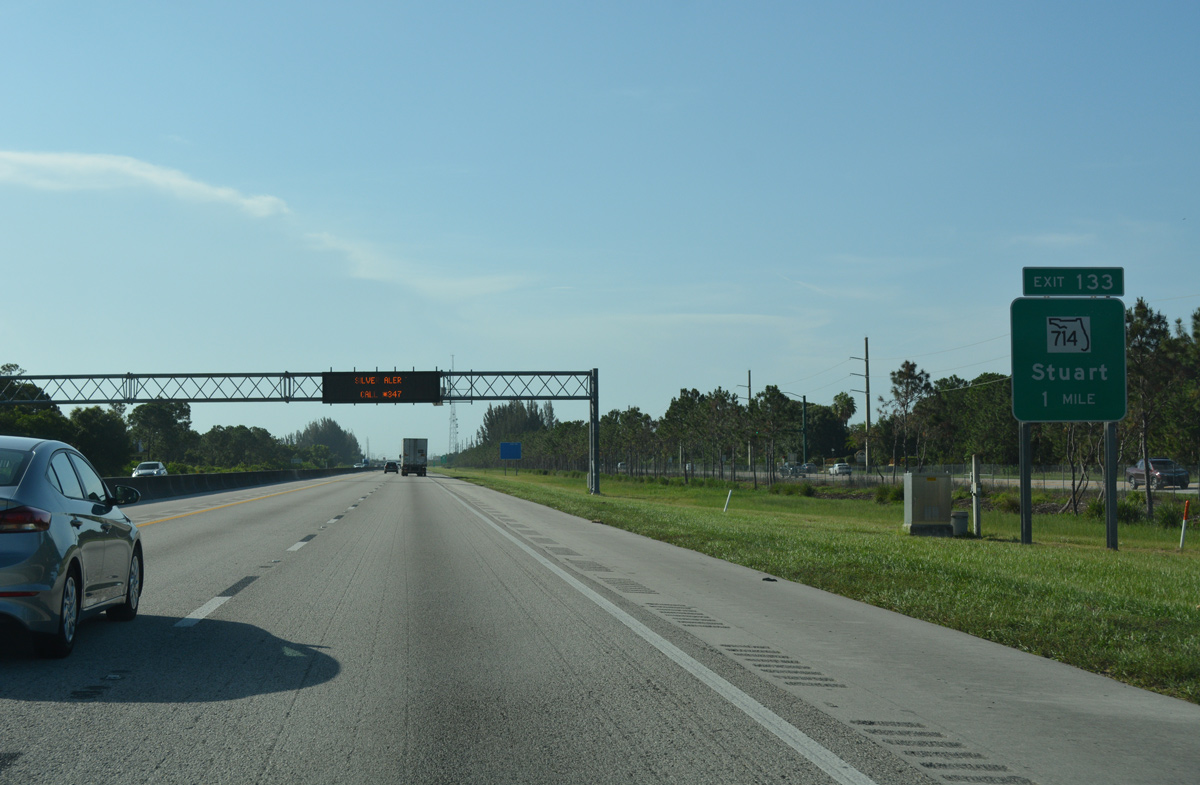
| SR 714 follows Martin Highway west from Florida's Turnpike 5.92 miles to Interstate 95. County Road 714 takes over from there west to CR 609 (Allapattah Road) and SR 710 at the Okeechobee County line. 07/26/17 |
|
| Stuart, a city of over 15,000, is the seat of Martin County situated along U.S. 1 at the confluence of the North and South Forks of the St. Lucie River. SR 714 and CR 714 (Veterans Memorial Bridge) both connect Florida's Turnpike with Stuart beyond Palm City. 07/26/17 |
|
| Entering the trumpet interchange (Exit 133) with SR 714 (Martin Downs Boulevard) and County Road 714 (Martin Highway) on Florida's Turnpike northbound. SR 714 arcs northeast across Stuart to end at SR A1A (Ocean Boulevard) near Sewall's Point. 07/26/17 |
|
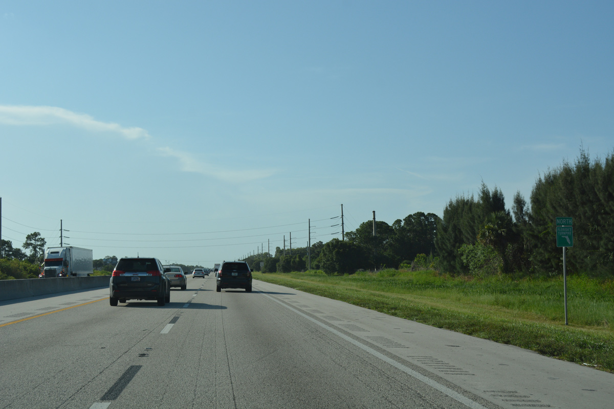
| Leaving the lone Martin County interchange, Florida's Turnpike angles northwest by the Martin Downs golf course community west of Palm City. 07/26/17 |
|
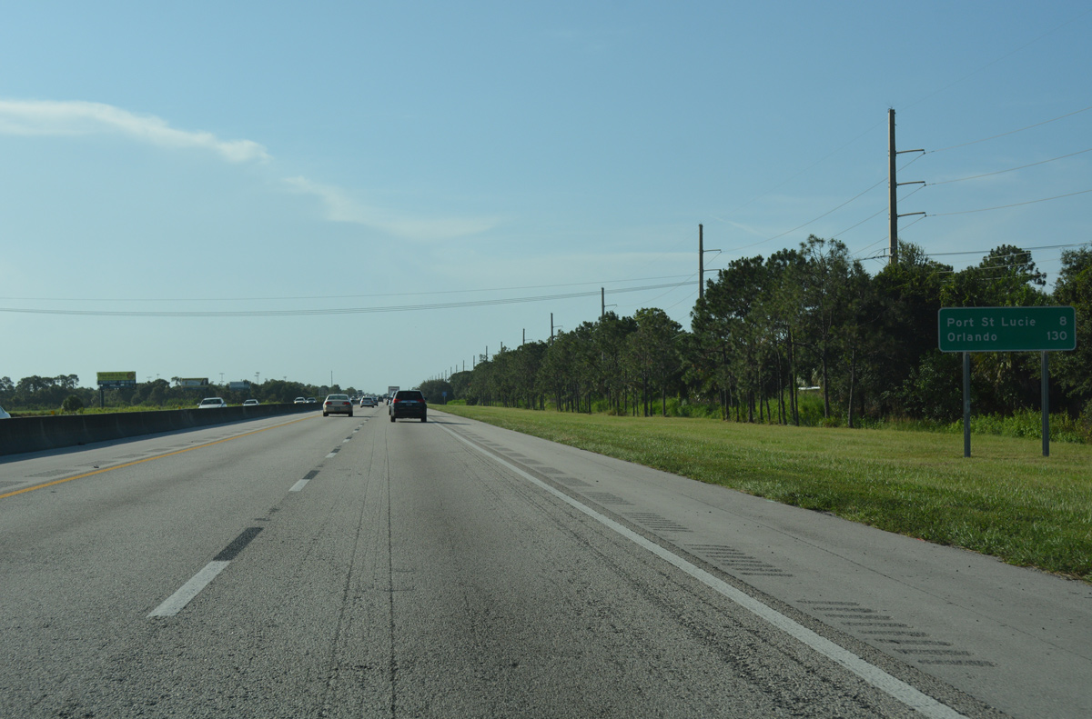
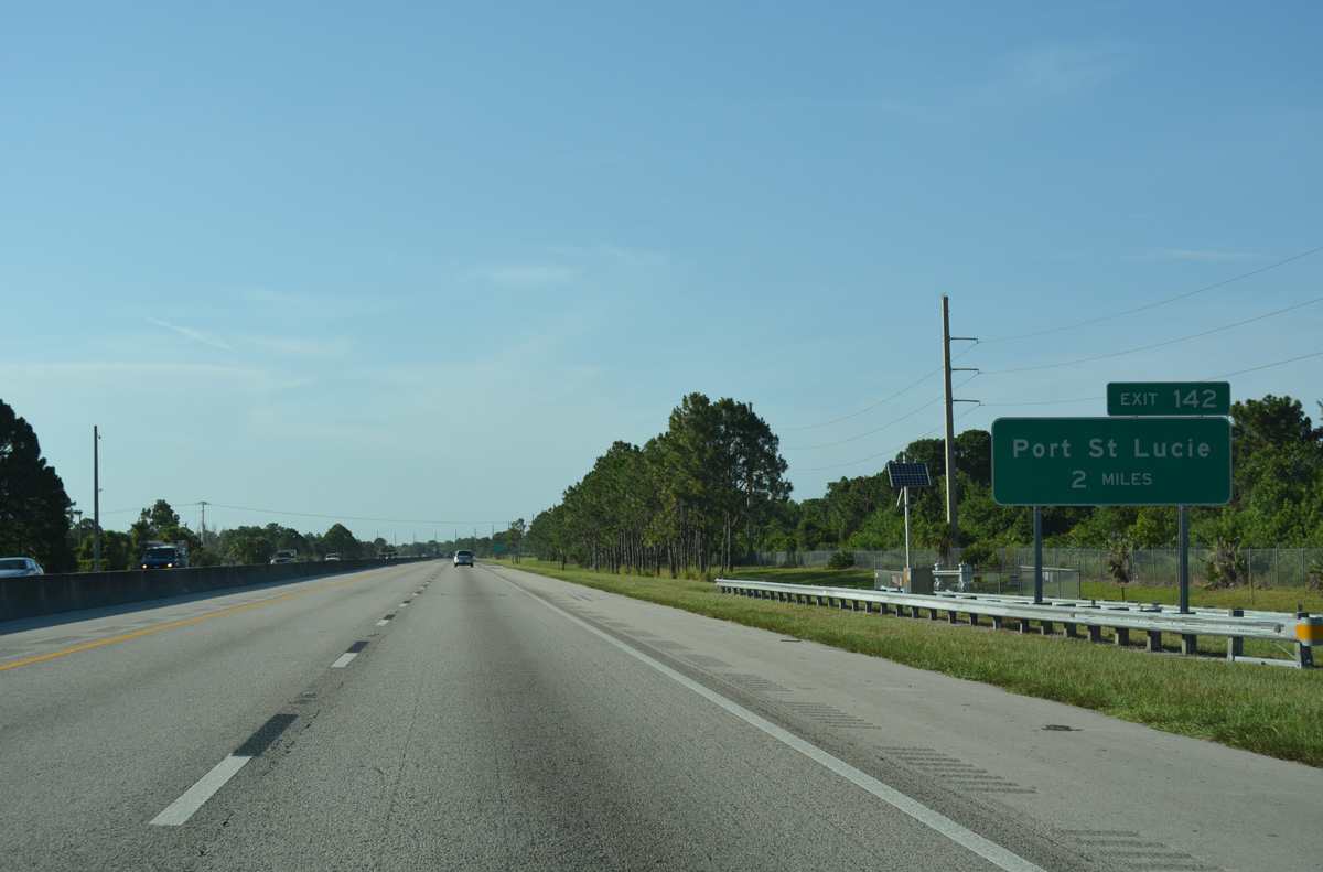
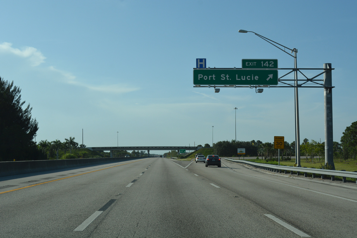
| The first of two exits from Florida's Turnpike for the city of Port St. Lucie lies 3.5 miles ahead. This distance sign predates the exit for Becker Road, instead referencing Port St. Lucie Boulevard at Exit 142. 07/26/17 |
|
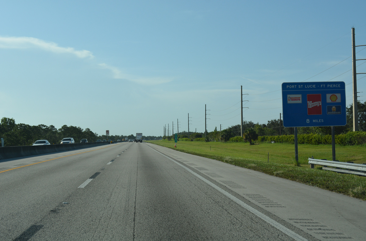
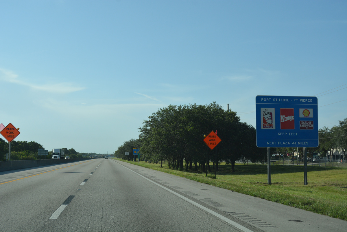
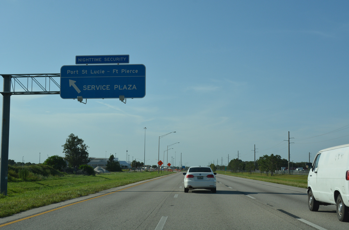
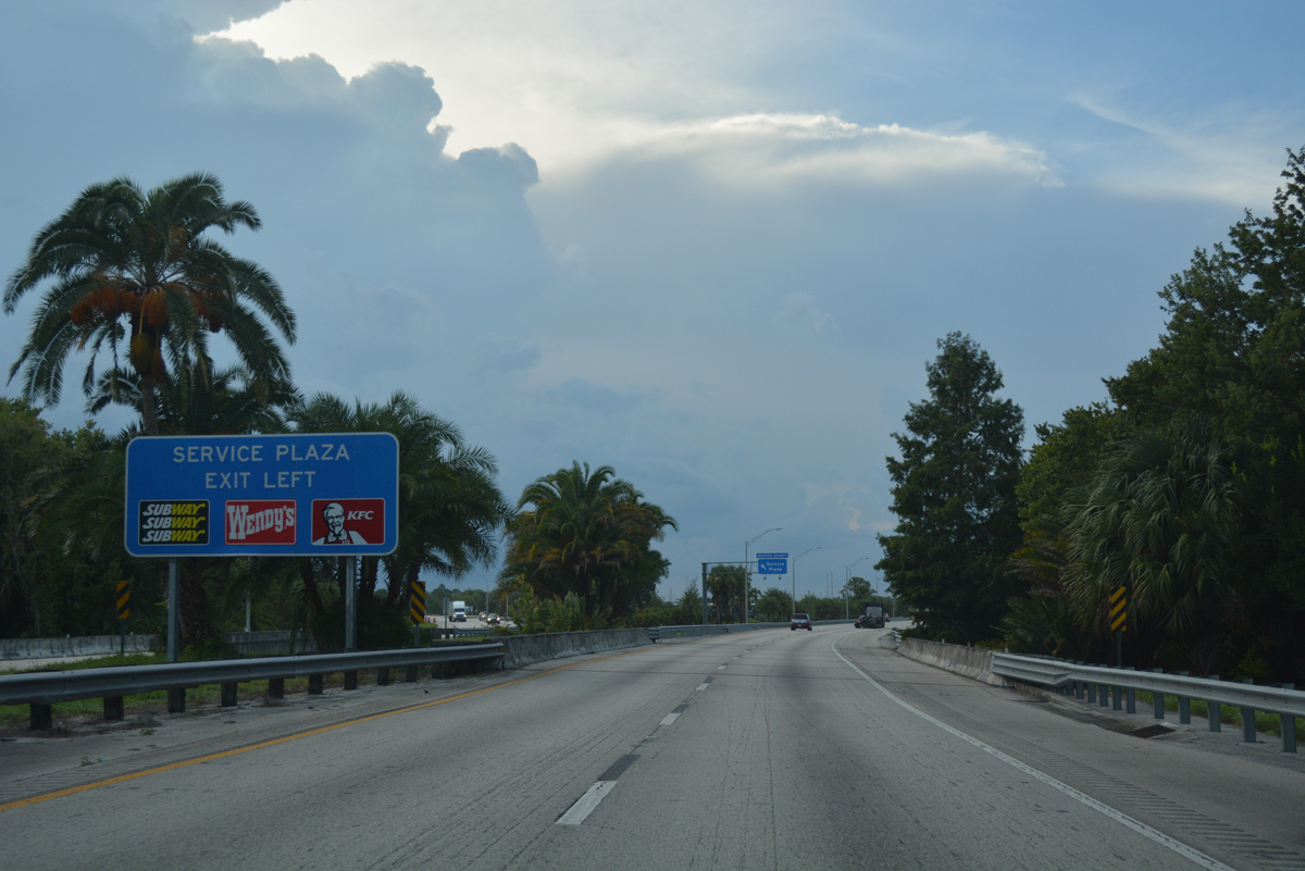
| Eight miles south of the Port St. Lucie/Ft. Pierce Service Area, the fourth along Florida's Turnpike northbound. 07/26/17 |
|
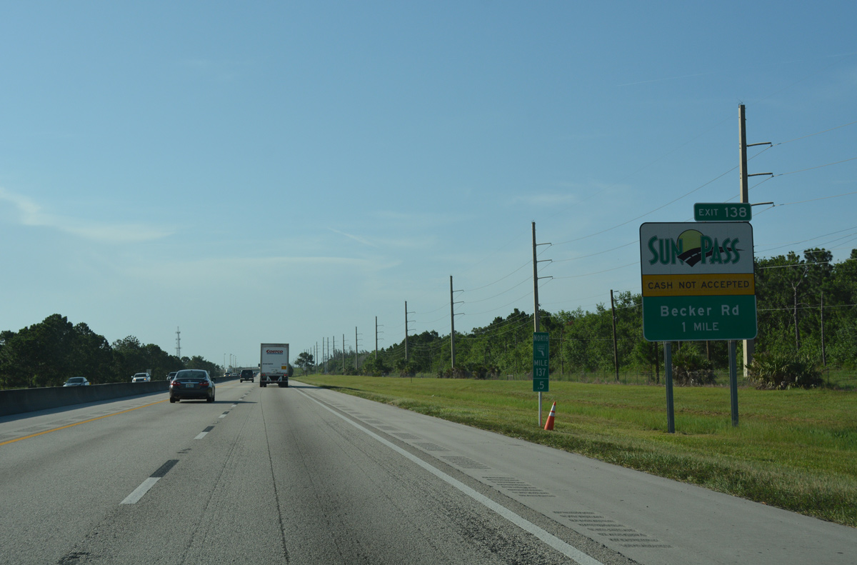
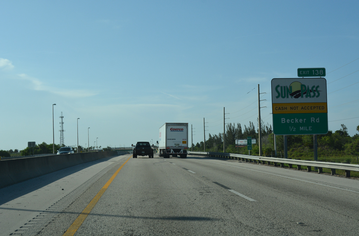
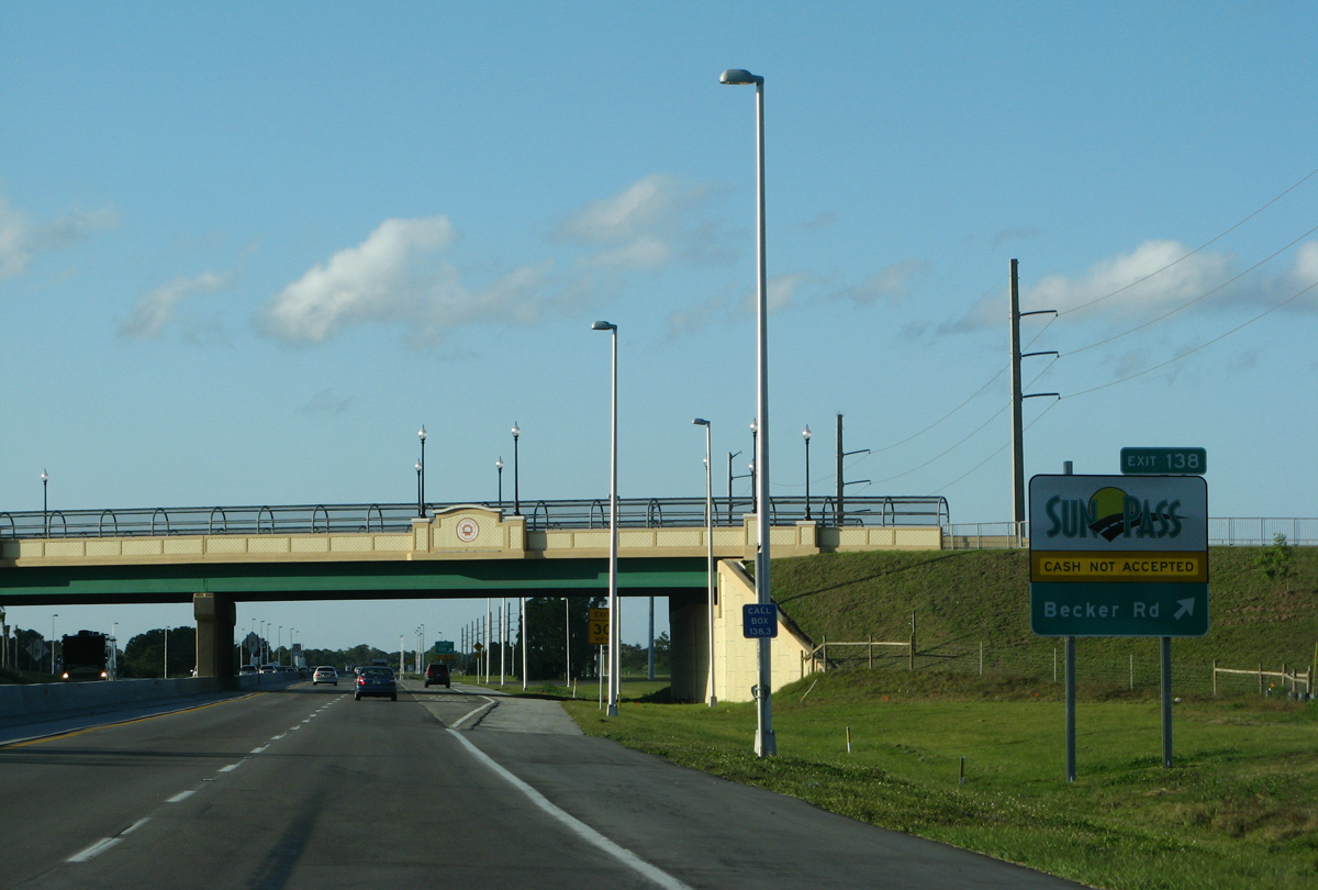
| Paid for with private funds, the $19 million parclo interchange (Exit 138) at Becker Road opened to traffic on May 11, 2007. Two area developers split costs, which enhanced the area for their respective developments.1 07/26/17 |
|
| Becker Road extends 4.8 miles west from Exit 138 to Village Parkway Drive just beyond Interstate 95. The road was initially paved in 1997, and the western most two miles were built by the Ginn Company at a cost of $3.3 million. It opened on December 20, 2005.2 07/26/17 |
|
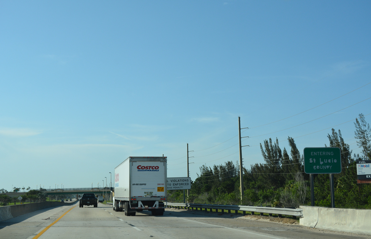
| County Line Canal, separates Martin and St. Lucie Counties just south of the SunPass only ramps for Becker Road. 07/26/17 |
|
| Becker Road serves a number of golf course communities to the east of Exit 138, including Tesoro, which was built by the Ginn Company (one of the two developers that paid for the exchange1). Becker Road ends at Murphy Road, which provides a second route into Palm City from the north. 02/16/08 |
|
| Confirming marker for Florida's Turnpike north posted in south St. Lucie. 07/26/17 |
|
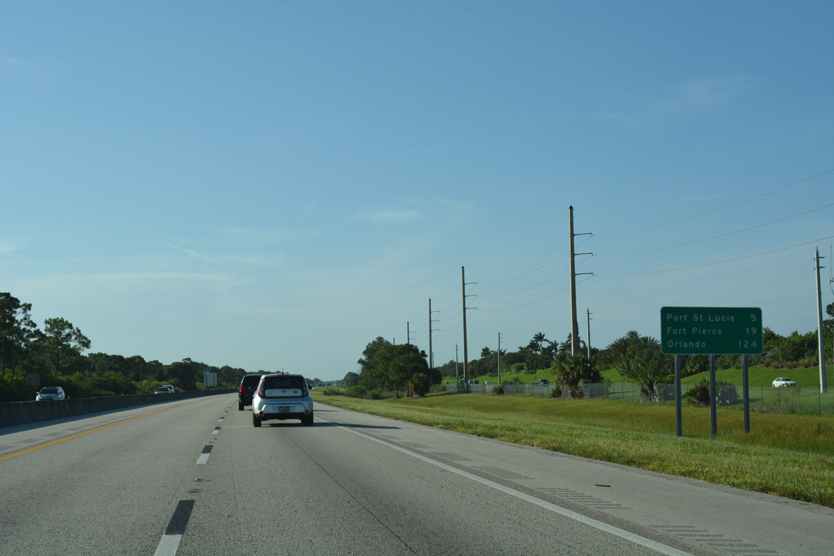
| Distance sign posted 19 miles south of Fort Pierce and 124 miles from Orlando. 07/26/17 |
|
| The Port St. Lucie/Ft. Pierce Service Area lies four miles ahead at mile post 144. 07/26/17 |
|
| Port St. Lucie Boulevard arcs northward from the Martin County line through central Port St. Lucie, meeting Florida's Turnpike at upcoming Exit 142. 07/26/17 |
|
| The access road from Exit 133 ties into Bayshore Boulevard at Port St. Lucie Boulevard (SR 716). Bayshore Boulevard parallels the Turnpike north to St. Lucie West Boulevard, which serves a commercial and industrial park area in addition to First Data Field, the New York Mets spring training facility. 07/26/17 |
|
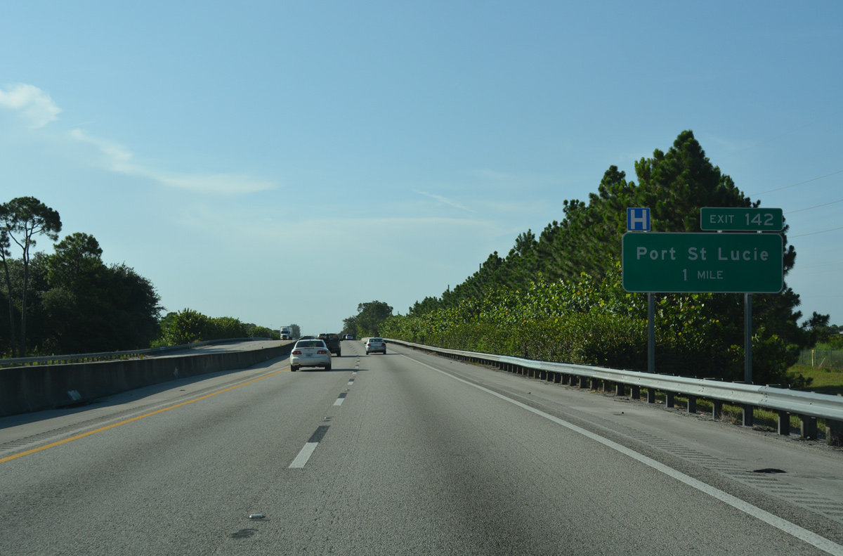
| Spanning a diversion canal, drivers on Florida's Turnpike north continue to within one mile of the trumpet interchange (Exit 142) with Port St. Lucie Boulevard. 07/26/17 |
|
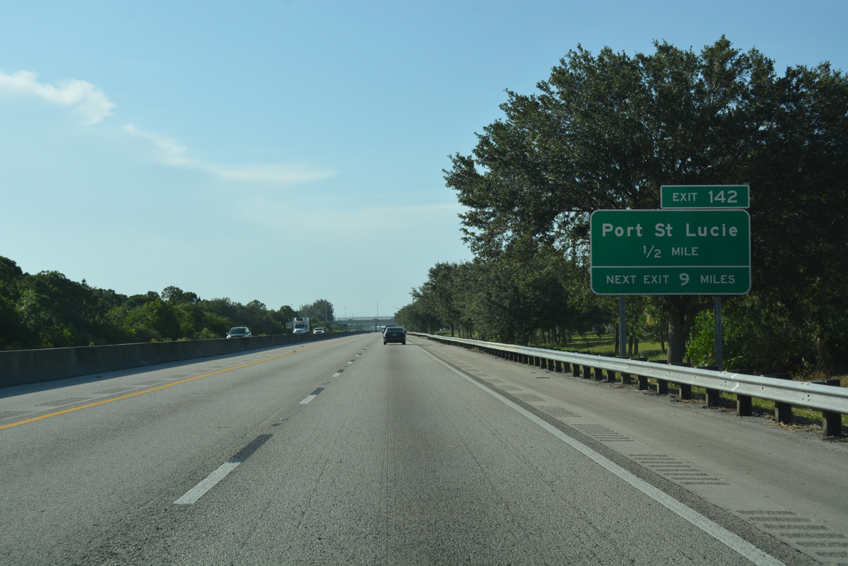
| East from the Turnpike overpass, SR 716 overlays Port St. Lucie Boulevard for 4.36 miles. The state route is not acknowledged from either direction of Florida's Turnpike. 07/26/17 |
|
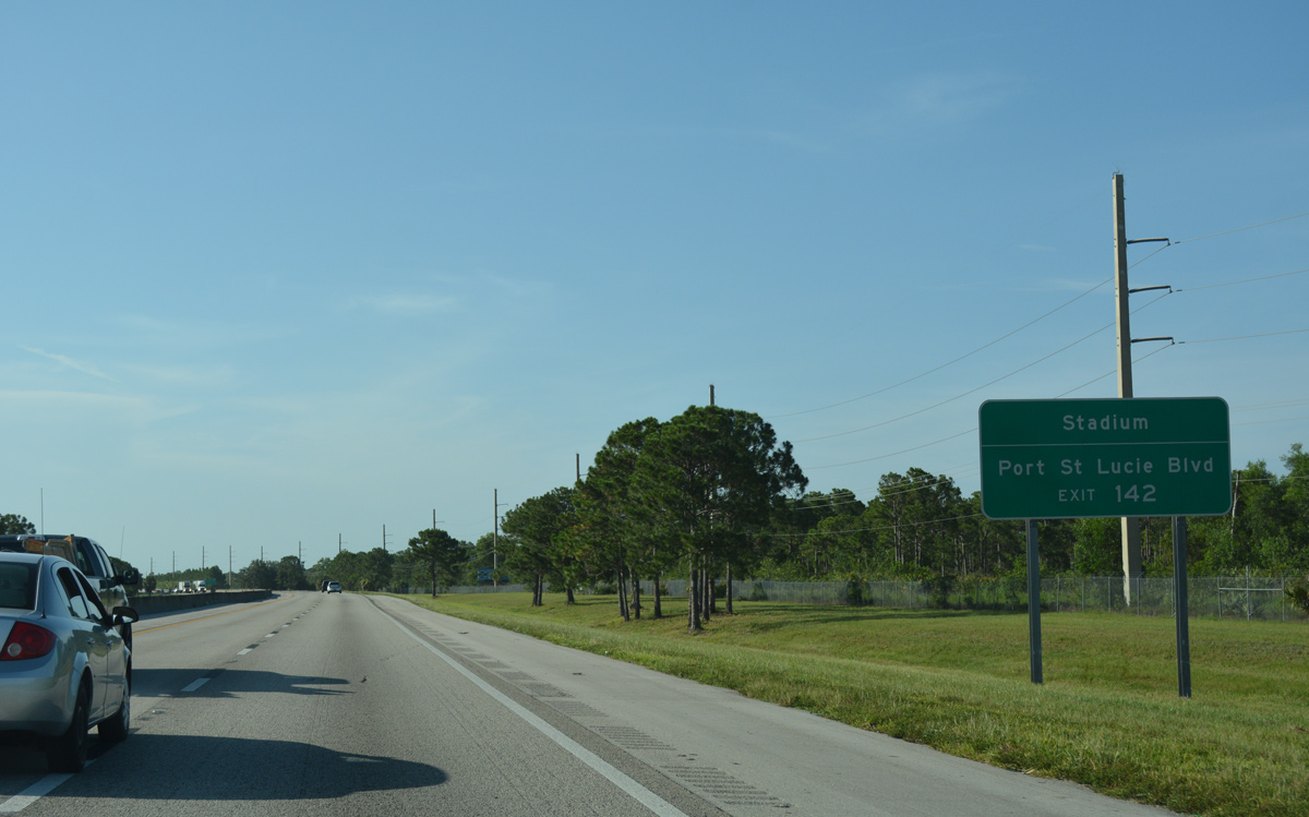
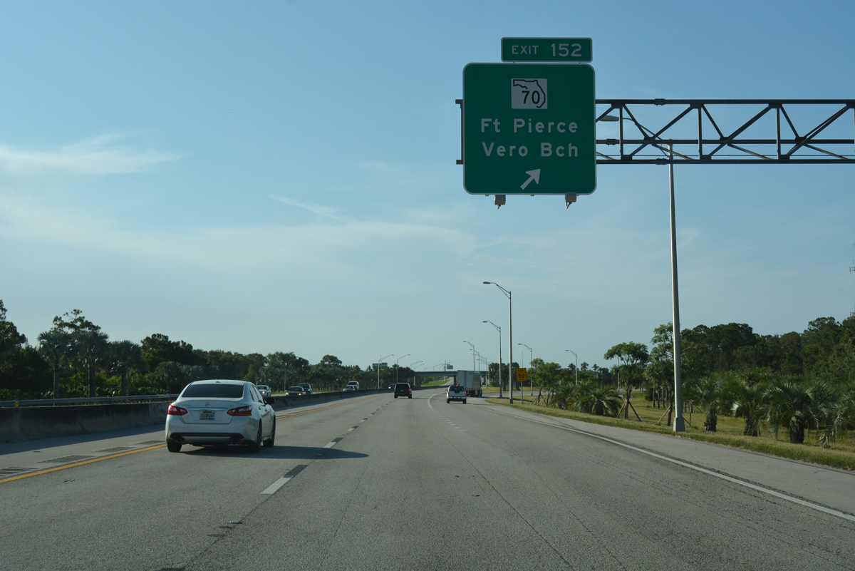
| Exit 142 leaves for Port St. Lucie Boulevard west to Gatlin Boulevard and SR 716 east to U.S. 1 (Federal Highway). 07/26/17 |
|
| Florida's Turnpike separates residential areas to the west from an industrial park area along adjacent Bayshore Boulevard north to Crosstown Parkway. 07/26/17 |
|
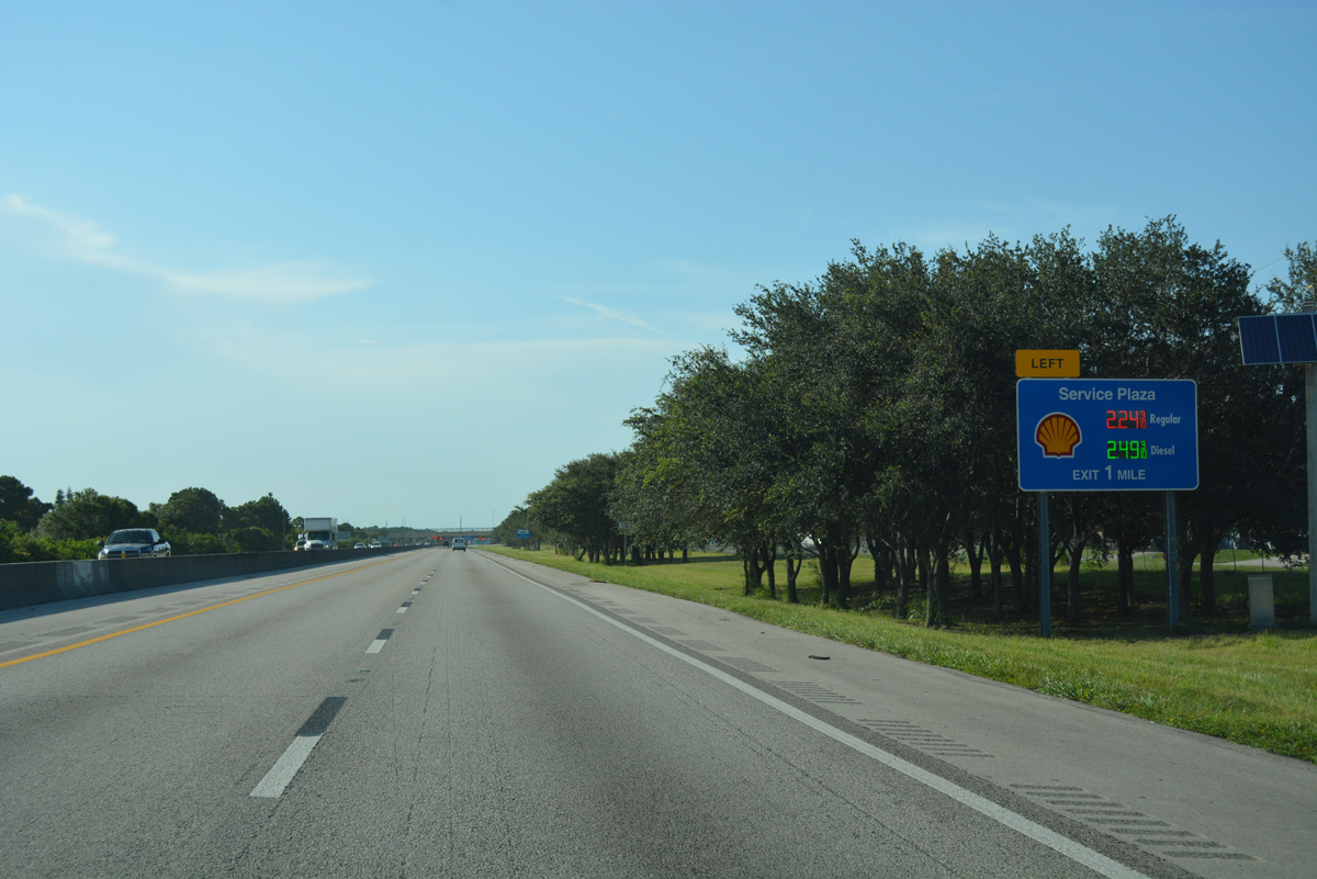
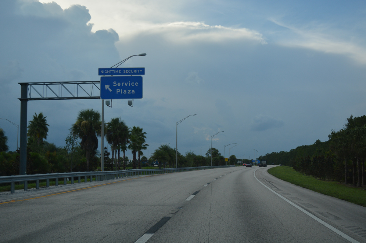
| A series of signs advise northbound motorists of the left side ramp for the Port St. Lucie/Ft. Pierce Service Area. 07/26/17 |
|
| The Port St. Lucie/Ft. Pierce Service Area lies just north of the Crosstown Parkway overpass, serving both roadways of the Turnpike mainline. 07/26/17 |
|
| Traffic from the service area converges with the northbound roadway by the Lakeforest at St. Lucie West subdivision and just ahead of the St. Lucie West Boulevard overpass. 07/26/17 |
|
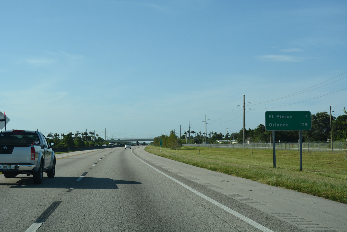
| Traveling north from the city of St. Lucie, Florida's Turnpike reaches the west side of Fort Pierce in seven miles. Orlando follows in 119 miles. 07/26/17 |
|
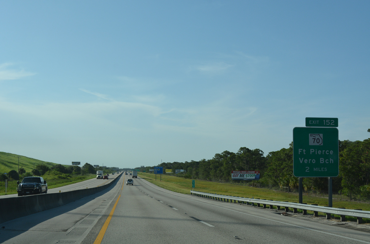
| Angling northwest from the Florida East Coast Railway and CR 706 (Glades Cut Off Road) underpass, Florida's Turnpike passes between the St. Lucie County Sanitary Landfall and a Walmart Distribution Center, two miles ahead of Exit 152 with SR 70 (Okeechobee Road). 07/26/17 |
|
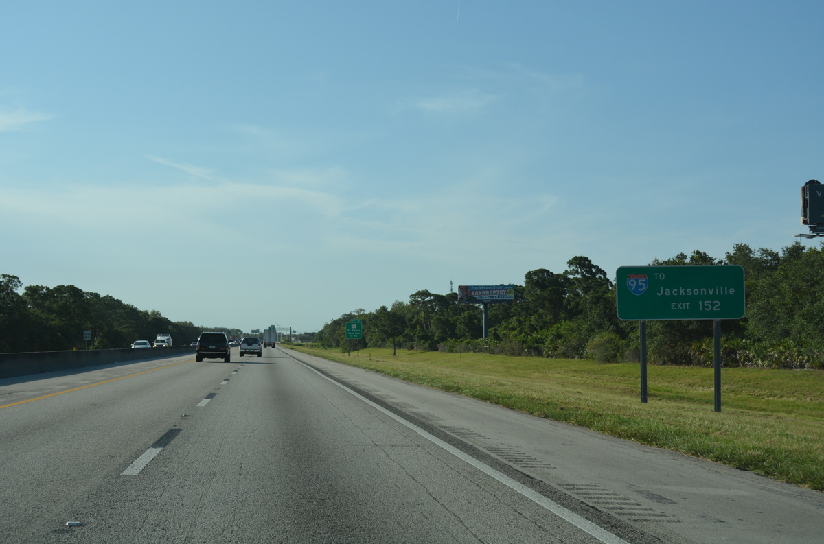
| Interstate 95 completes its long loop west around St. Lucie to cross paths with Florida's Turnpike one mile south of SR 70 and Exit 152. 07/26/17 |
|
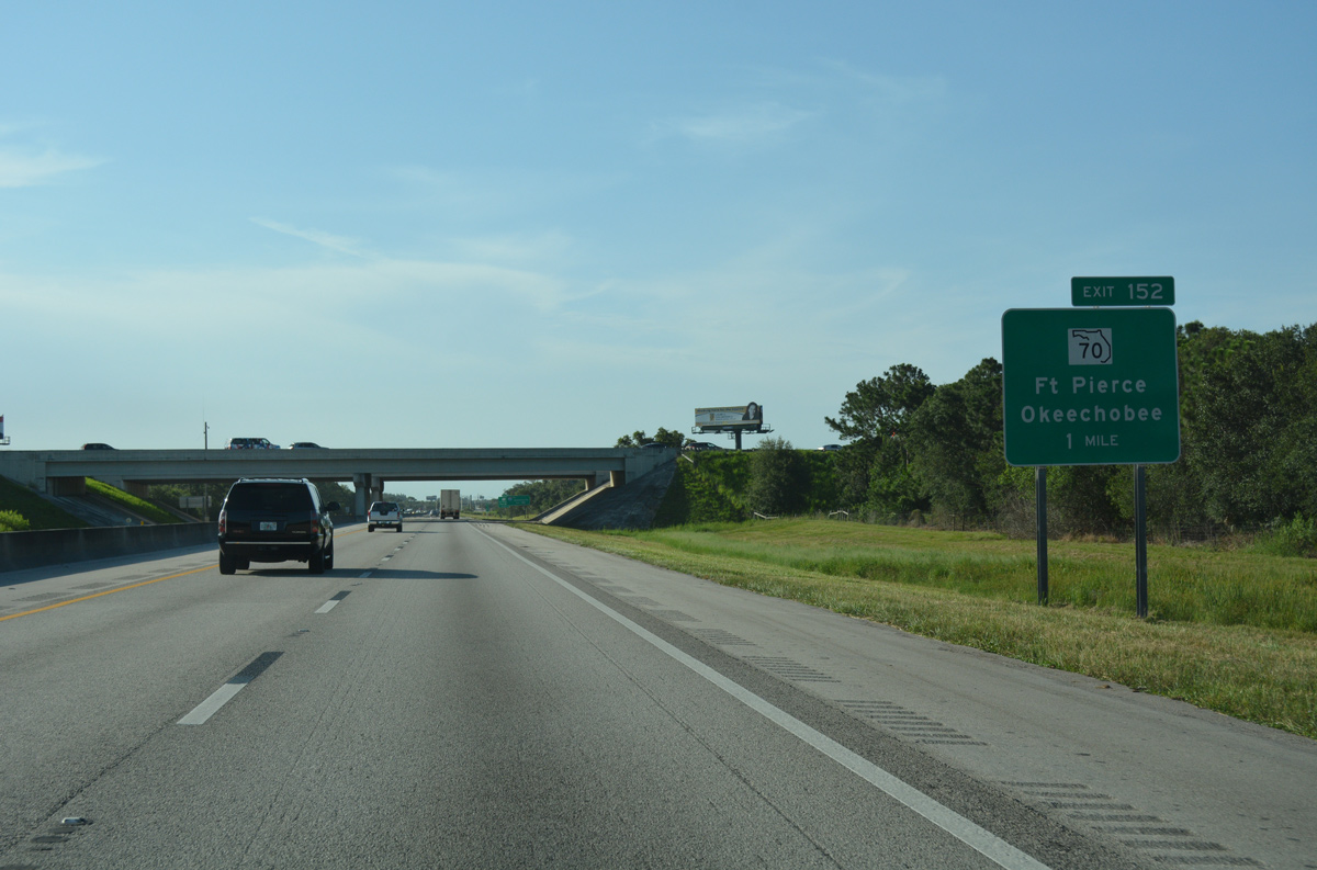
| The access road from Exit 152 intersects SR 70 at SR 713, 0.75 miles west of the Okeechobee Road interchange with Interstate 95. SR 713 stems 2.40 miles north to SR 68, providing additional access to I-95 from Florida's Turnpike. 07/26/17 |
|
| State Road 70 constitutes a four lane divided highway or arterial linking Okeechobee with Fort Pierce. Expansion of the last eight mile section, between the NE 31st Avenue, outside the city of Okeechobee and Berman Road, was completed in summer 2017. The $28.9 million project started on October 6, 2014.3 07/26/17 |
|
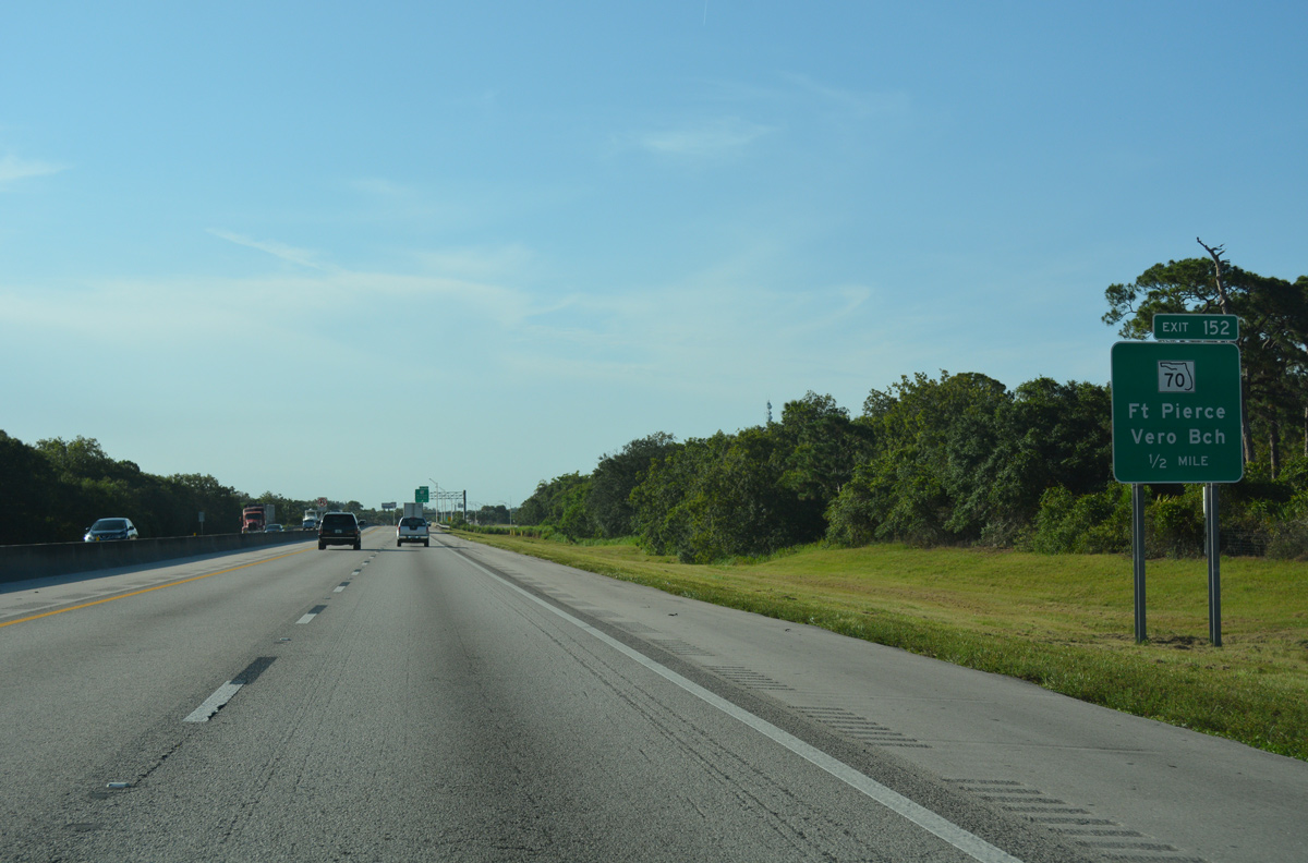
| Crossing Tenmile Creek, Florida's Turnpike enters the trumpet interchange (Exit 152) with SR 70 (Okeechobee Road) and SR 713 (Kings Highway). SR 713 provides a direct route north 10.20 miles to U.S. 1 near the Indian River County line and Vero Beach. 07/26/17 |
|
| Florida's Turnpike begins a gradual western turn toward Central Florida from the outskirts of Fort Pierce. 07/26/17 |
|
| A rural and somewhat remote 40.2 mile long exit less stretch takes the Turnpike northwest to Yeehaw Junction. An even longer uninterrupted segment extends from Exit 193 to St. Cloud. 07/26/17 |
|
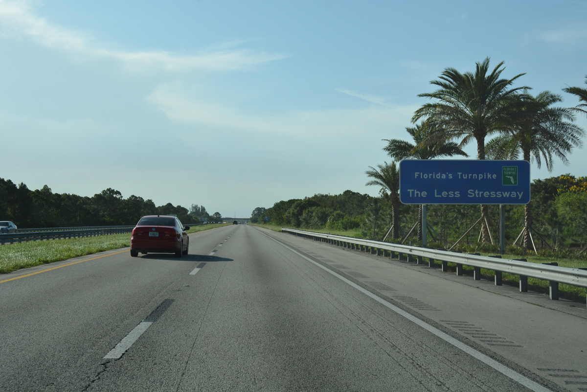
| The Less Stressway is a motto touted routinely along Florida's Turnpike or on travel publications. 07/26/17 |
|
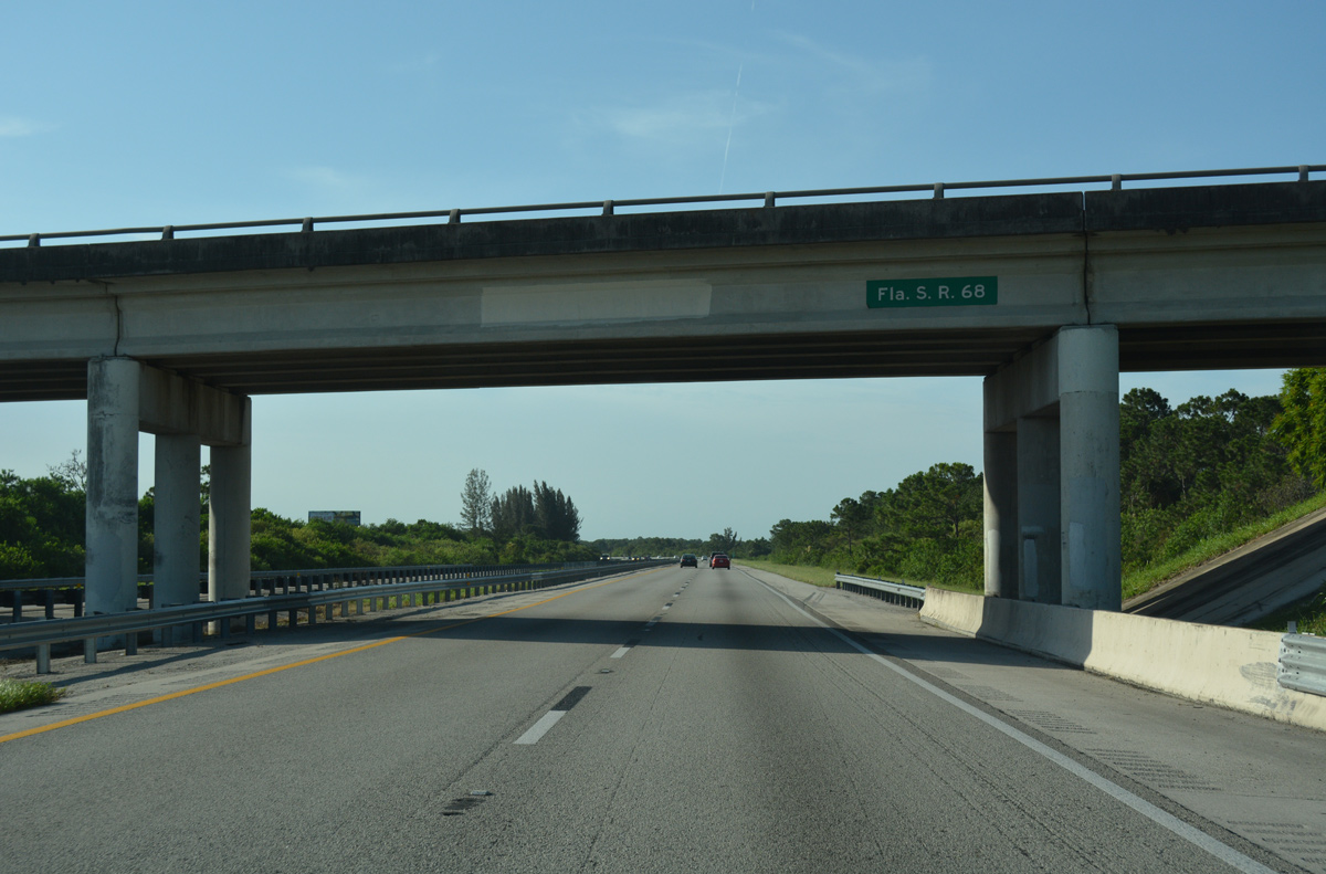
| Orange Avenue (CR 68) bee lines west from Downtown Fort Pierce to cross over Florida's Turnpike. An older sign still identifies the bridge as State Road 68; 4.50 miles of Orange Avenue remain in the state system east from SR 713 (Kings Highway) to U.S. 1. 07/26/17 |
|
| Florida's Turnpike travels less than a mile from Interstate 95 as both cross Belcher Canal. The two diverge northward into Indian River County. 07/26/17 |
|
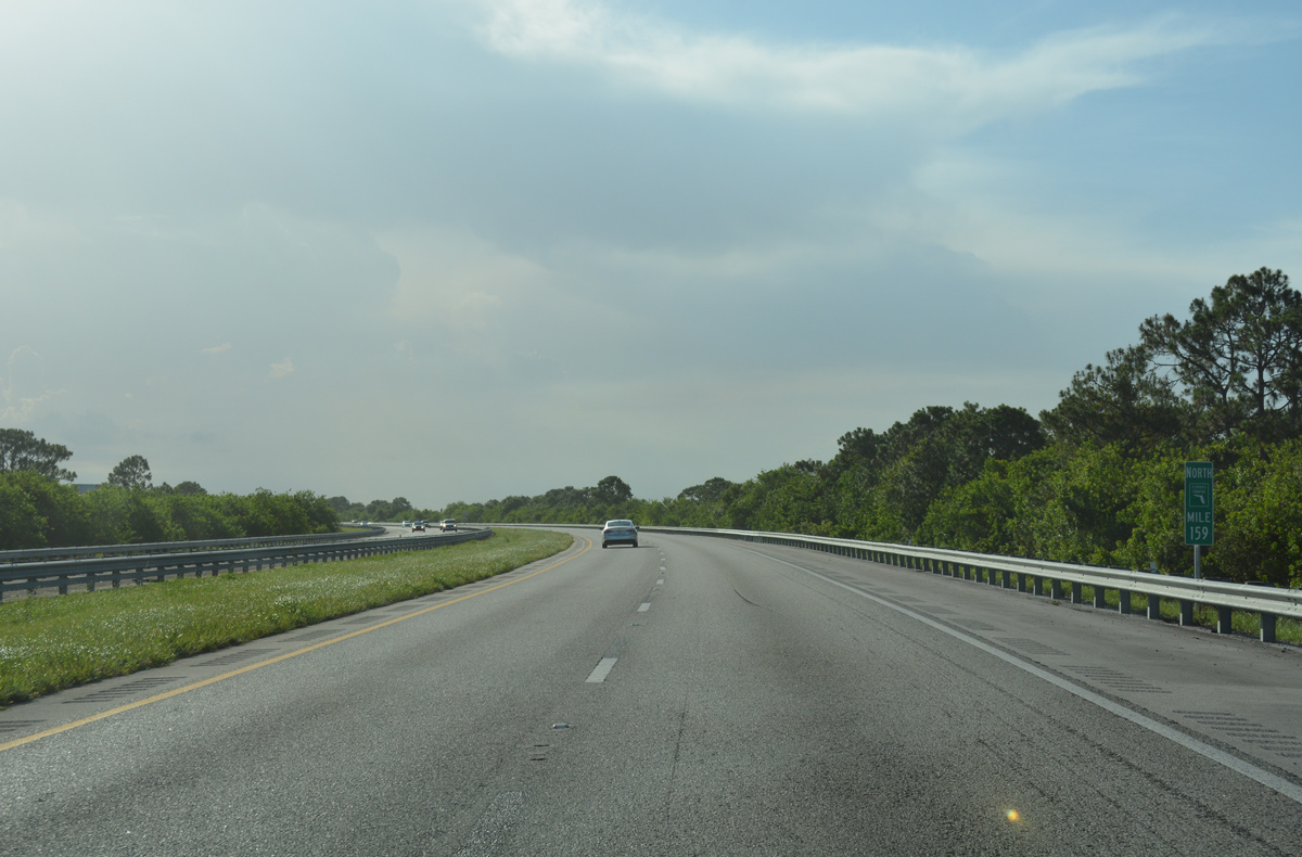
| The first of two east-west stretches ensues beyond milepost 159, as the Turnpike traverses St. Johns Marsh to milepost 165. 07/26/17 |
|
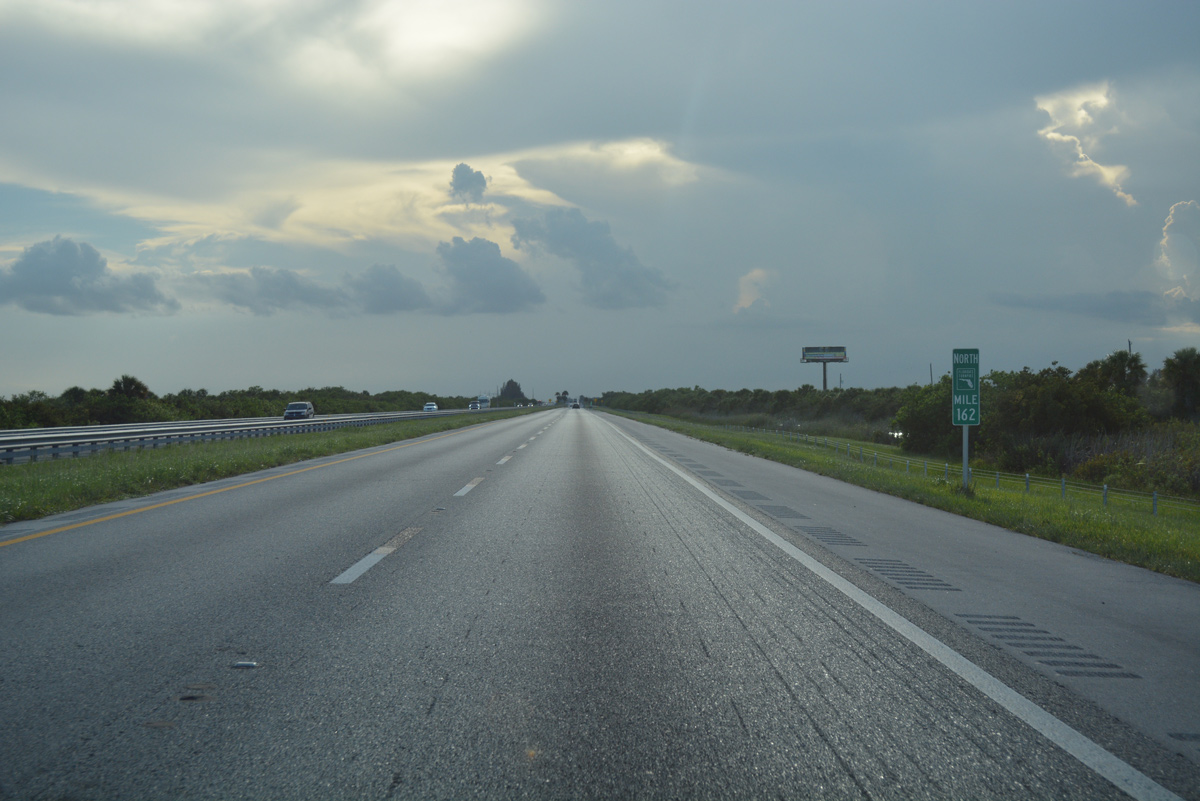
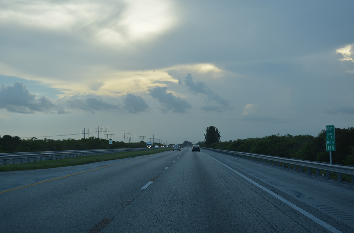
| Florida Power and Light (FPL) transmission lines first appear along Florida's Turnpike near milepost 164. The power corridor runs alongside the four lane toll road to milepost 181 and the Okeechobee County line. 07/26/17 |
|
| Angling northwest across St. Johns Marsh, Florida's Turnpike gains five miles of latitude. 07/26/17 |
|
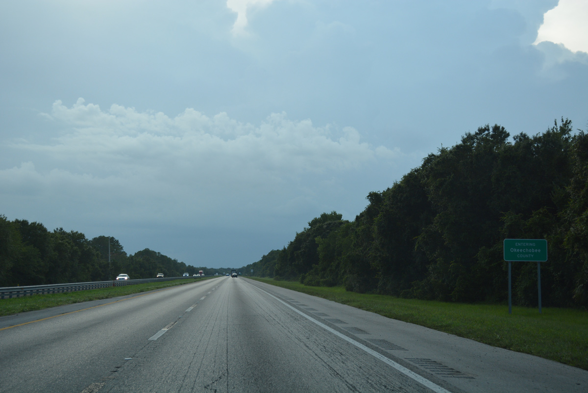
| Resuming a westward heading again, Florida's Turnpike concludes its 34.96 mile course through St. Lucie County. 07/26/17 |
|
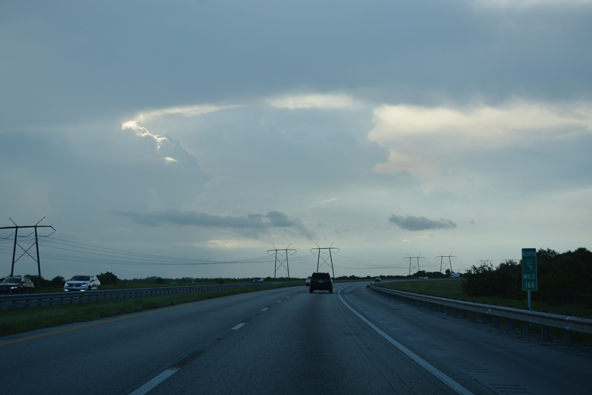
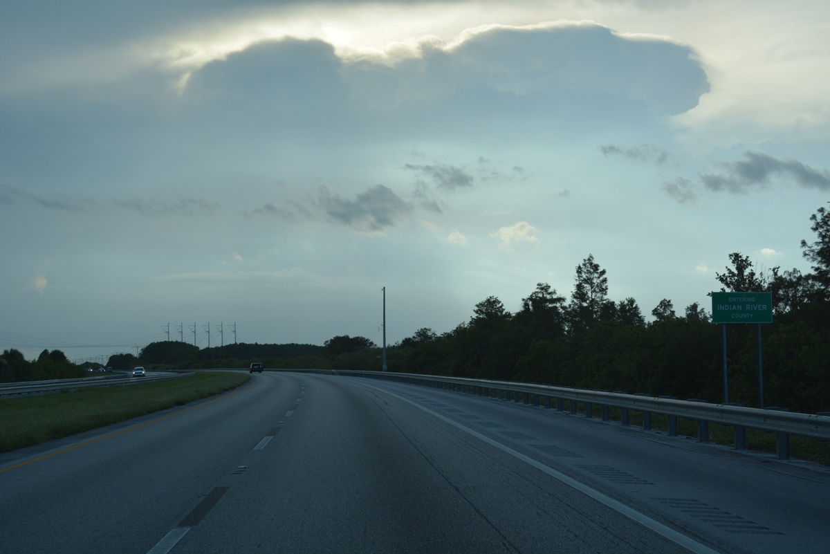
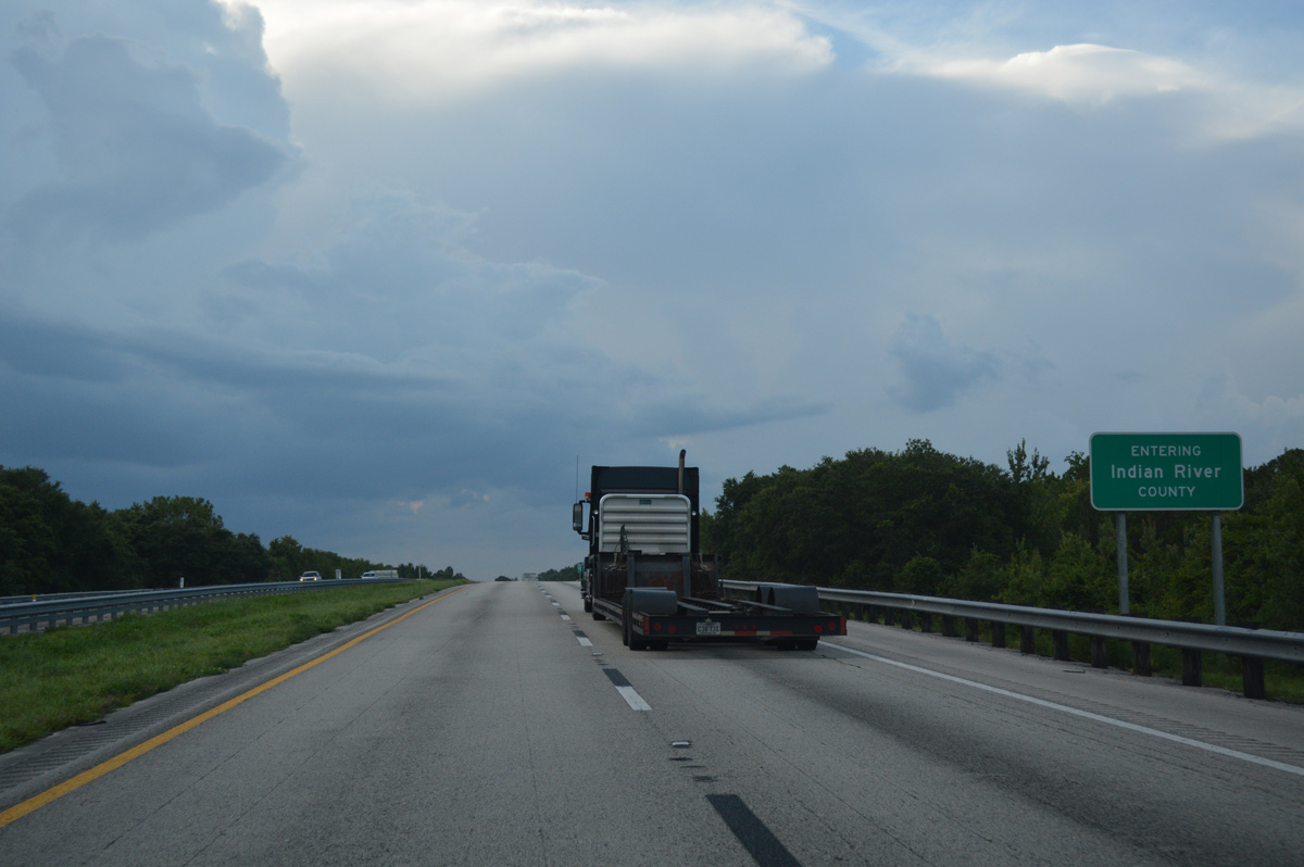
| The FPL transmission lines shift to the north side of Florida's Turnpike as it straddles the Indian River County line 7.99 miles west. 07/26/17 |
|
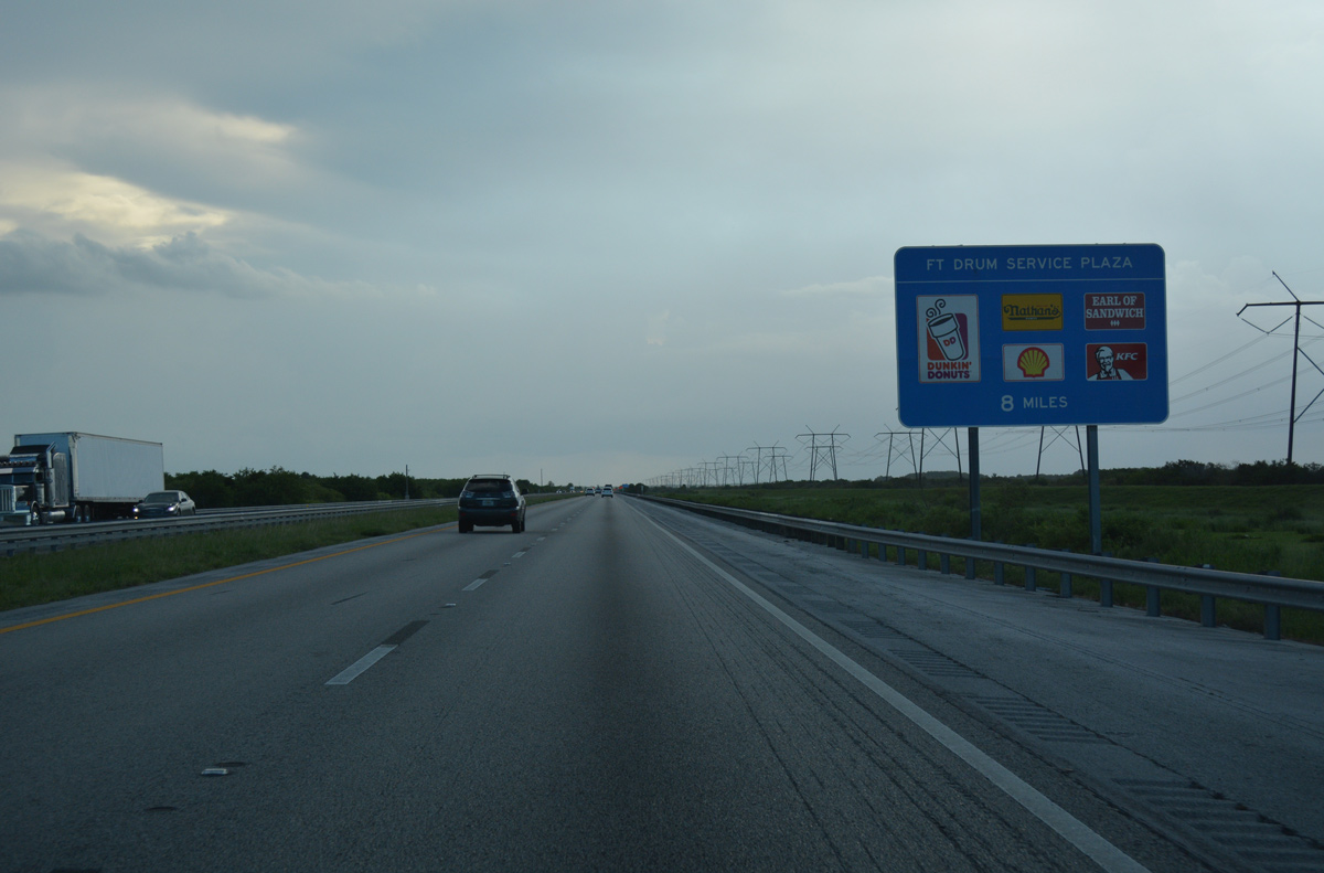
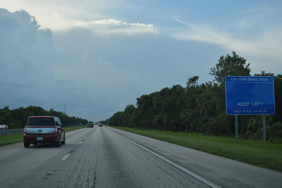
| Traveling south of Fort Drum Marsh Wildlife Management Area, northbound motorists continue eight miles to the Fort Drum Service Plaza. 07/26/17 |
|
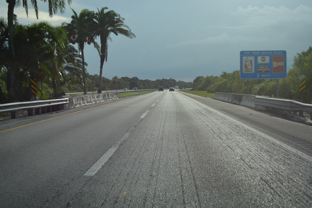
| Florida's Turnpike makes another northwesterly turn ahead of Sawgrass Bay on the three mile approach to the Fort Drum Service Area. 07/26/17 |
|
| The Turnpike cuts across a remote corner of Okeechobee County for 7.47 miles. 07/26/17 |
|
| One mile south of the Fort Drum Service Area on Florida's Turnpike beyond the crossing of Fort Drum Creek. 07/26/17 |
|
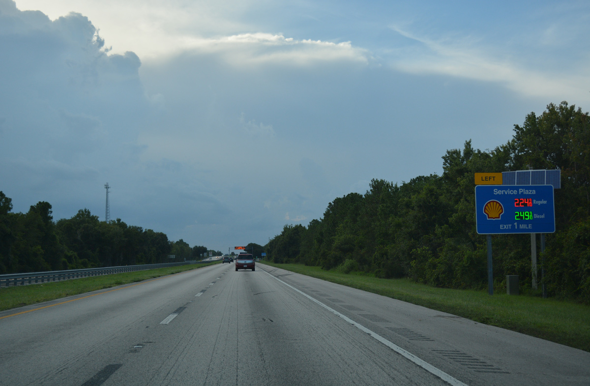
| The forthcoming Fort Drum Service Area provides an array of fast food options and one gas station. 07/26/17 |
|
| The left side ramp for the Fort Drum Service Area located at mile post 144 departs the Turnpike north of Jim Green Creek. 07/26/17 |
|
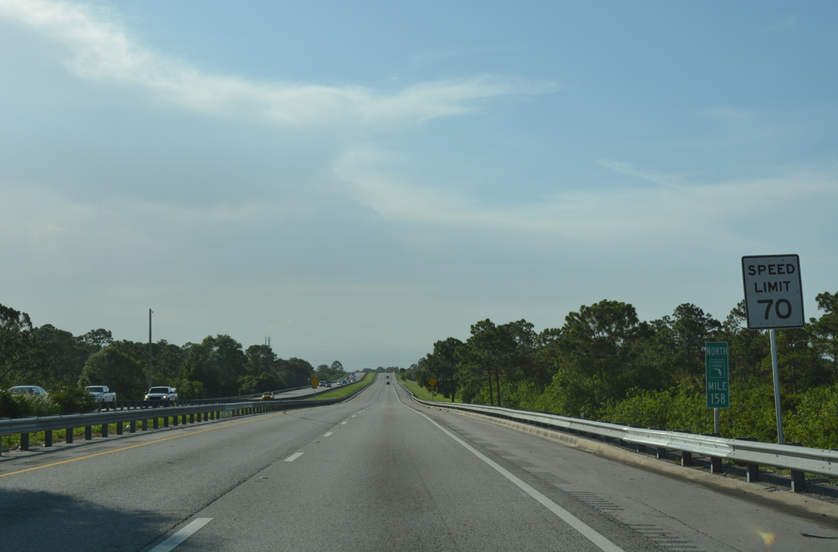
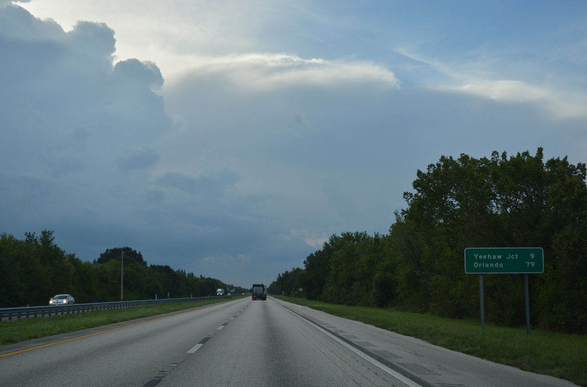
| A series of long straight aways extend the Turnpike nine miles northward across wetland areas to Yeehaw Junction. Orlando is still over an hour away. 07/26/17 |
|
| Northbound travelers reenter Indian River County for a 1.46 mile stint. 07/26/17 |
|
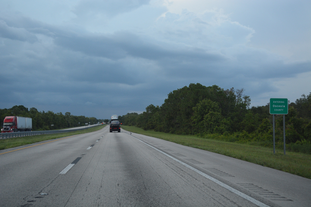
| Florida's Turnpike crosses into southeastern Osceola County ahead of Cow Log Branch. 07/26/17 |
|
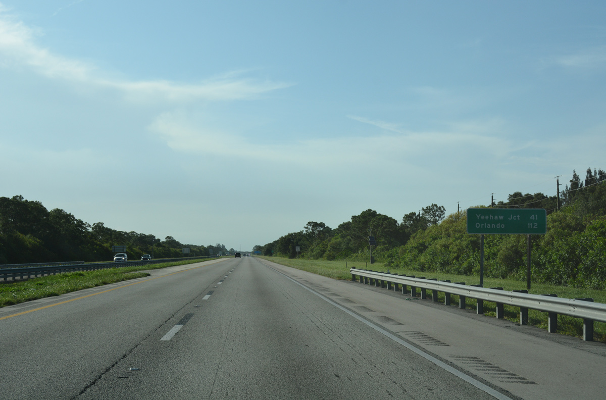
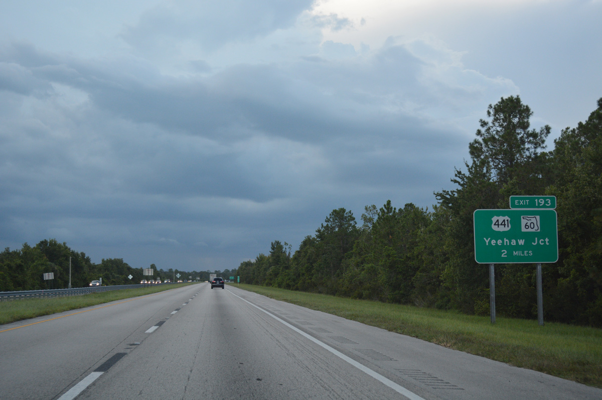
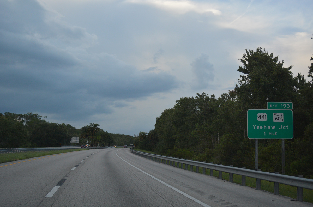
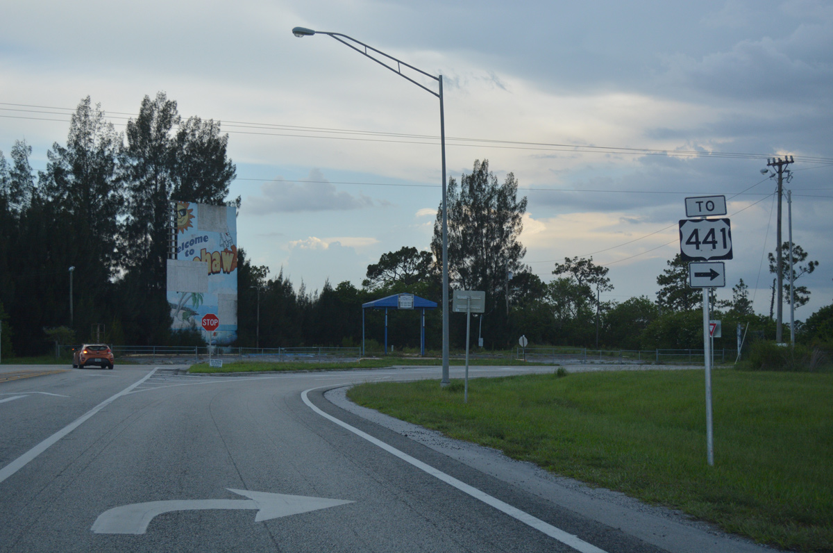
| U.S. 441 runs just west of the Turnpike, heading north from Okeechobee to meet SR 60 at Yeehaw Junction by upcoming Exit 193. 07/26/17 |
|
| SR 60 comprises a cross peninsular route, joining Vero Beach on the Treasure Coast with Lake Wales and the Tampa Bay region to the west. 07/26/17 |
|
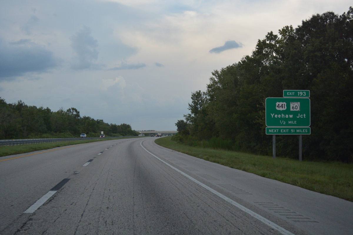
| One mile south of the trumpet interchange (Exit 193) with SR 60 on Florida's Turnpike northbound. Yeehaw Junction represents the cross roads between U.S. 441 and SR 60 at the historic Desert Inn. A few traveler services and residences dot the area. 07/26/17 |
|
| Yeehaw Junction is the lone interchange along a 91 mile stretch of Florida's Turnpike. Rural U.S. 441 parallels the Turnpike northward to Kenansville, eventually combining with U.S. 192 west from Holopaw. 07/26/17 |
|
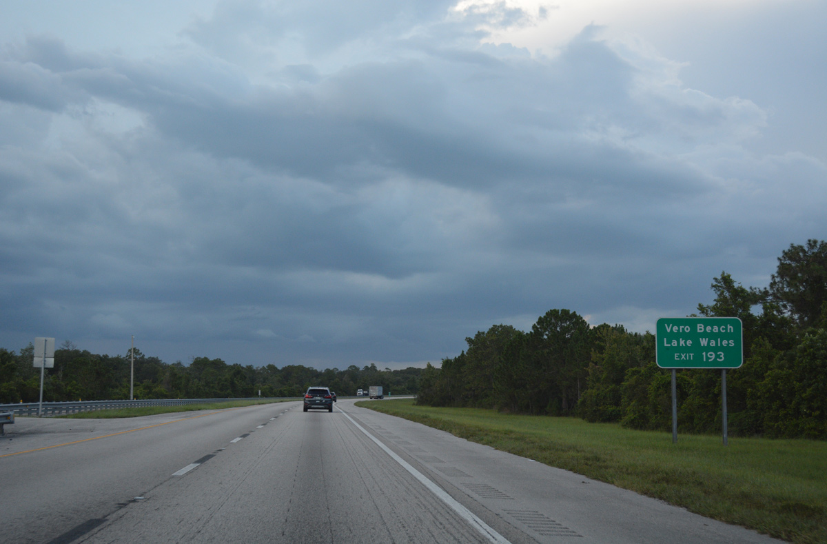
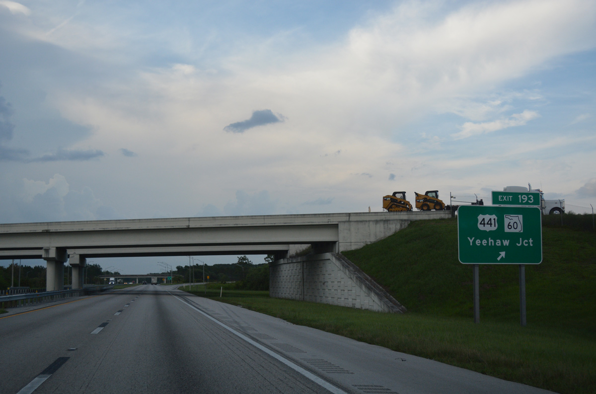
| Exit 193 parts ways with the Turnpike northbound. SR 60 expands to four lanes from Yeehaw Junction east to Vero Beach. The state road remains with two lanes west to Lake Kissimmee and Polk County Road 630 at Indian Lake Estates. 07/26/17 |
|
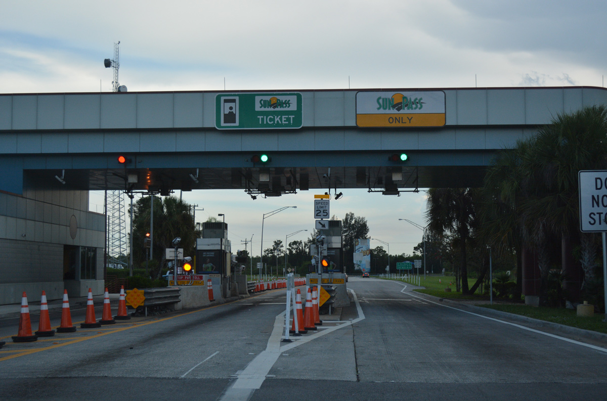
| Motorists exiting the Turnpike enter the Yeehaw Junction toll plaza en route to SR 60. 07/26/17 |
|
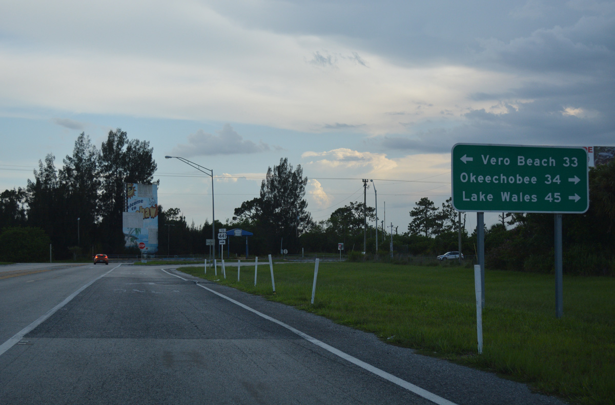
| East of Yeehaw Junction and Florida's Turnpike, SR 60 beelines into the heart of Vero Beach, otherwise SR 60 travels northwest toward River Ranch and Polk County. 07/26/17 |
|
| Vero Beach, a half hour drive along SR 60 east, represents the seat of Indian River County. SR 60 passes through Lake Wales 45 miles to the west in central Polk County. Okeechobee lies along U.S. 441 south in 34 miles at the northern tip of Lake Okeechobee. 07/26/17 |
|
| Drivers bound for U.S. 441 to Kenansville, St. Cloud and Okeechobee depart along SR 60 west. 07/26/17 |
Page Updated 09-13-2017.