|
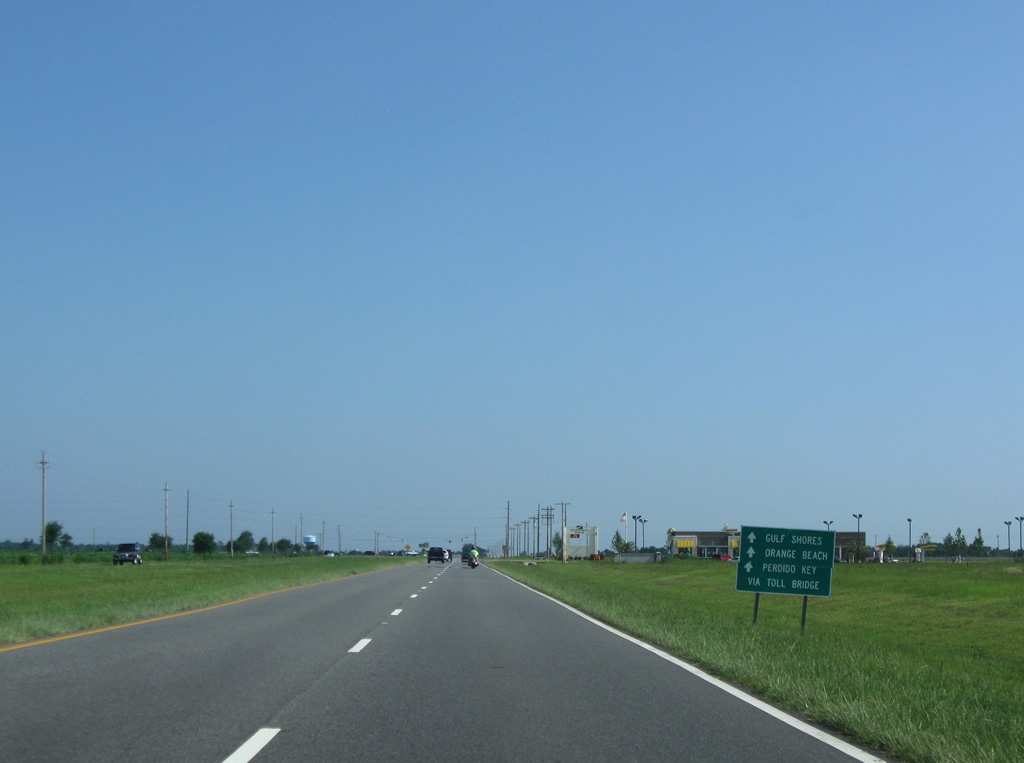
| The Foley Beach Express begins at a signalized intersection with SR 59 in northern Foley. Initially traveling east, the four lane divided highway first intersects CR 73. This sign was moved later to the next assembly and then taken down completely by 2009. 08/24/03 |
|
| Just beyond CR 73 is a distance sign assembly for the Intracoastal Waterway bridge. An at-grade intersection lies ahead with Juniper Street. 03/08/09 |
|
| Foley Beach Express south (east) at Juniper Street. Juniper Street heads north to CR 28 and south to CR 14 (Peachtree Avenue). 08/02/06 |
|
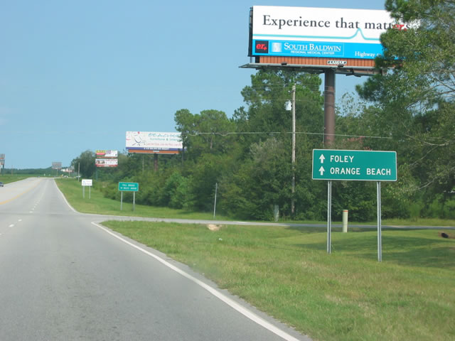
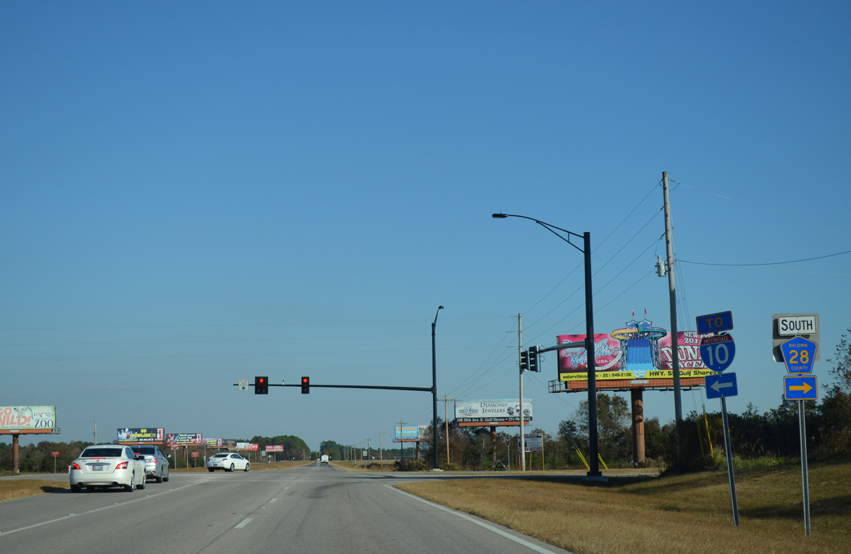
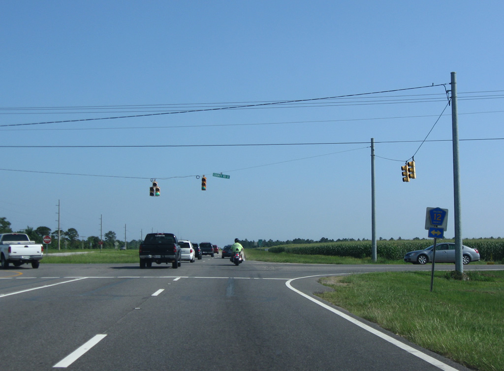
| A third at-grade intersection along the Foley Beach Express east joins the four lane road with CR 28 South and the 2010-completed Baldwin Beach Express north. CR 28 includes an east-west and north-south branch. The north-south branch meets the expressway north of the Cambridge Park subdivision and CR 24. 11/21/14 |
|
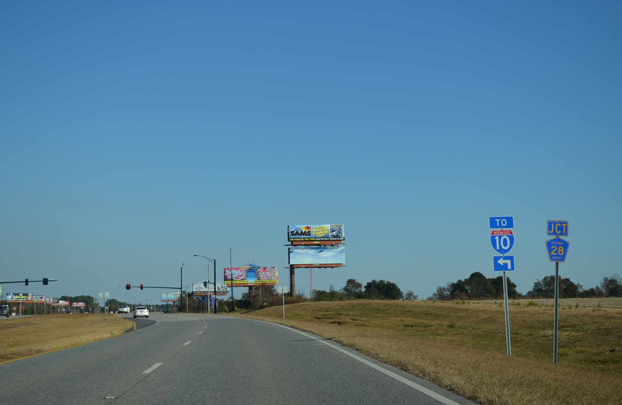
| The initial stretch of the Baldwin Beach Express overlaid County Road 28 north as part of a 1.5 mile link between the Foley Beach Express and County Road 32. The 12.8 mile route was completed on August 15, 2014 to provide a seamless link to Interstate 10 at Exit 49. 11/21/14 |
|
| Missing reassurance shield for the Foley Beach Express southbound after the merge with the Baldwin Beach Express. Reassurance shields are generally not posted along the expressway. 06/13/10 |
|
| Drivers turn southward on the Foley Beach Express after Woerner Road, traveling through the relatively undeveloped eastern reaches of Foley. 06/13/10 |
|
| Nearing the intersection with U.S. 98 on the Foley Beach Express south, 2.2 miles east of Downtown Foley. 06/13/10 |
|
| U.S. 98 journeys east from the Foley Beach Express to Elberta, Lillian and Pensacola by way of Perdido Bay. West of Downtown Foley, U.S. 98 continues to Magnolia Springs and Barnwell. 06/13/10 |
|
| The one mile stretch of the Foley Beach Express within Section 26 downgrades from a four lane expressway into a five lane arterial with at-grade connections to adjacent businesses. 06/13/10 |
|
| Approaching the cross roads with CR 20 (Miflin Road). Retail development occupies the northwest corner of the forthcoming intersection. 06/13/10 |
|
| CR 20 travels 1.75 miles west to SR 59 near the Tanger Outlet Center. Eastward, Miflin Road continues three miles to CR 83 at Miflin. 06/13/10 |
|
| Southbound at the traffic light with CR 20 (Miflin Road). County Road 20 ends at Hickory Street in Foley to the west and at County Road 95 east of Hammock Creek. 06/13/10 |
|
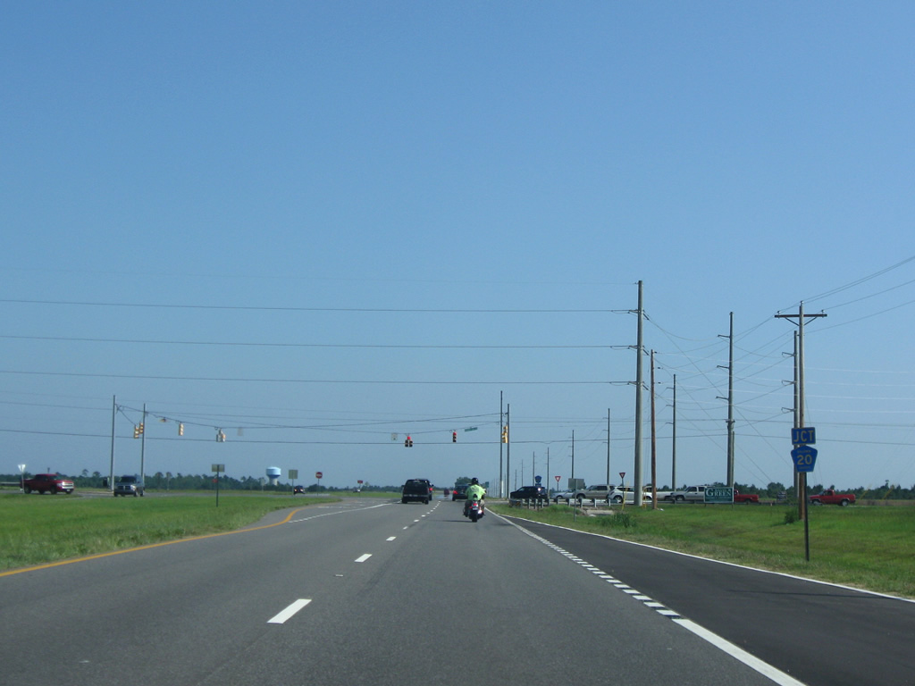
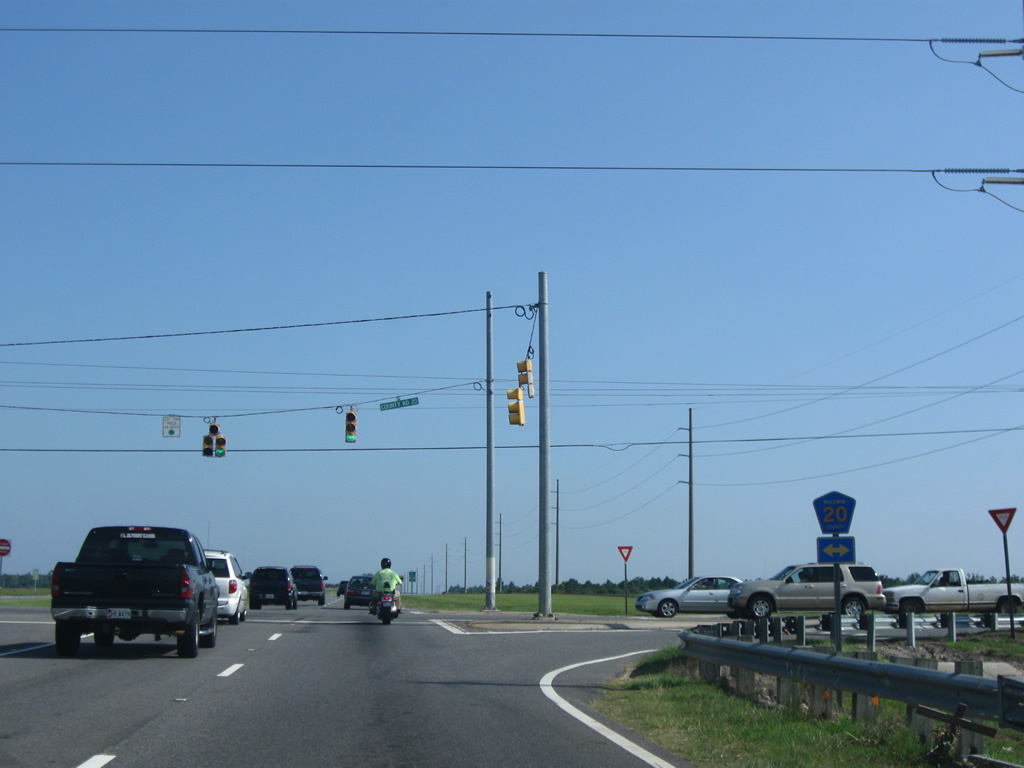
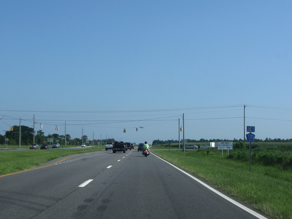
| Next in line for the Foley Beach Express south is CR 12 South. 06/13/10 |
|
| CR 12 travels west to CR 26 southwest of Magnolia Springs and east toward Wolf Creek south of Miflin. 06/13/10 |
|
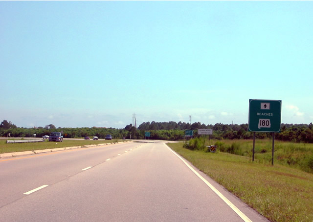
| Designated in 2010, the Alabama Scenic Highway Coastal Connection follows the Foley Beach Express between CR 20 (Miflin Road) and SR 180 (Canal Road) as part of a 130 mile route encircling the Mobile Bay area. 06/13/10 |
|
| The first of three southbound crossovers provides northbound access after CR 12 South. The roadways of the Foley Beach Express diverge outside a large grassy median between County Road 12 and a point south of County Road 8. 08/02/06 |
|
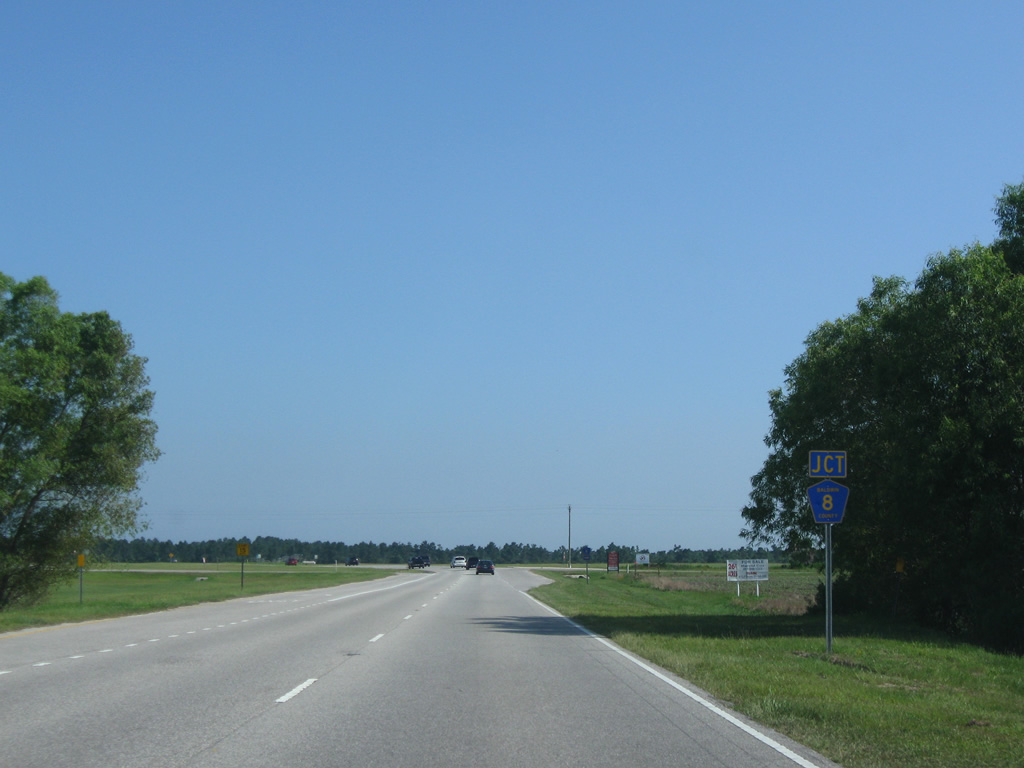
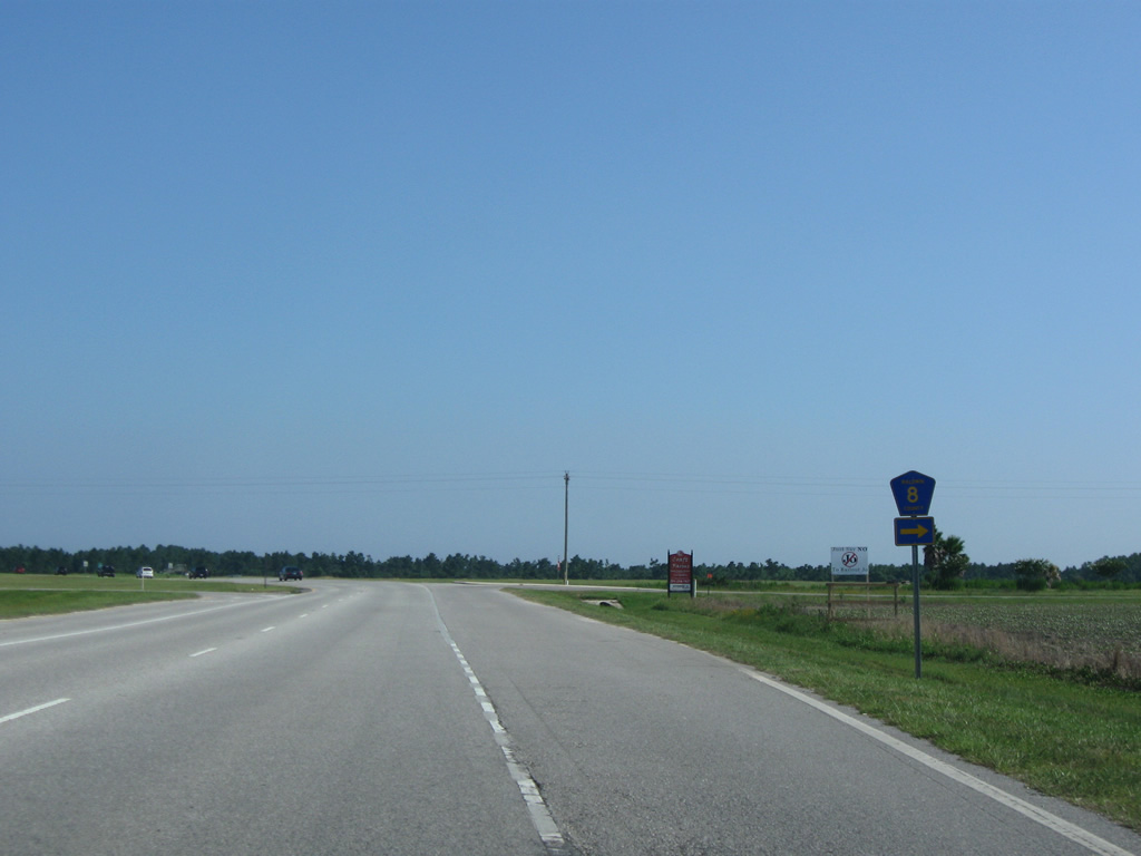
| CR 8 saw extension eastward to the Foley Beach Express upon completion of the roadway. The highway travels westward to SR 59 (Gulf Shores Parkway) and a dead end at the Bon Secour River north of Oak. 06/13/10 |
|
| Foley Beach Express turns southeast from CR 8 on the approach to Portage Creek. County Road 8 serves northern reaches of the Craft Farms and other Gulf Shores-based subdivisions nearby. 06/13/10 |
|
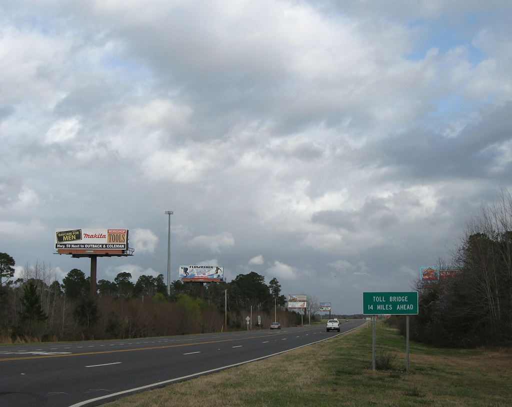
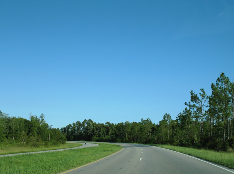
| Continuing beyond CR 8, the Foley Beach Express turns east to Roscoe Road and south toward the Intracoastal Waterway toll bridge. 08/01/06 |
|
| An SR 180 guide sign (removed by 2009) was posted before the Foley Beach Express reached the turn for Bradford Road west. Bradford and Roscoe Roads connect the Express with CR 4 (Cotton Creek Drive) west to the Craft Farms community of north Gulf Shores and SR 59 (Gulf Shores Parkway). Otherwise the Foley Beach Express continues toward the Intracoastal Waterway toll bridge. 08/24/03 |
|
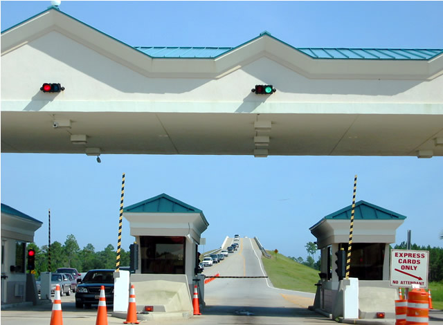
| A four-booth toll plaza is situated at the north end of the two lane toll bridge over the Intracoastal Waterway (Portage Creek). Tolls are set at $3.50 per passenger vehicle. 08/24/03 |
|
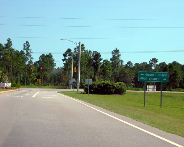
| Within the city of Orange Beach, the Foley Beach Express ends at SR 180 (Canal Road) by The Wharf mixed used development. Canal Road connects with SR 161 (Orange Beach Boulevard) three miles to the east. The 1.7 mile state route connects SR 180 with SR 182 (Perdido Beach Boulevard) along the coast. Westward SR 180 straddles the Intracoastal to East 2nd Street in Gulf Shores. 08/24/03 |
Page Updated 12-03-2014.