

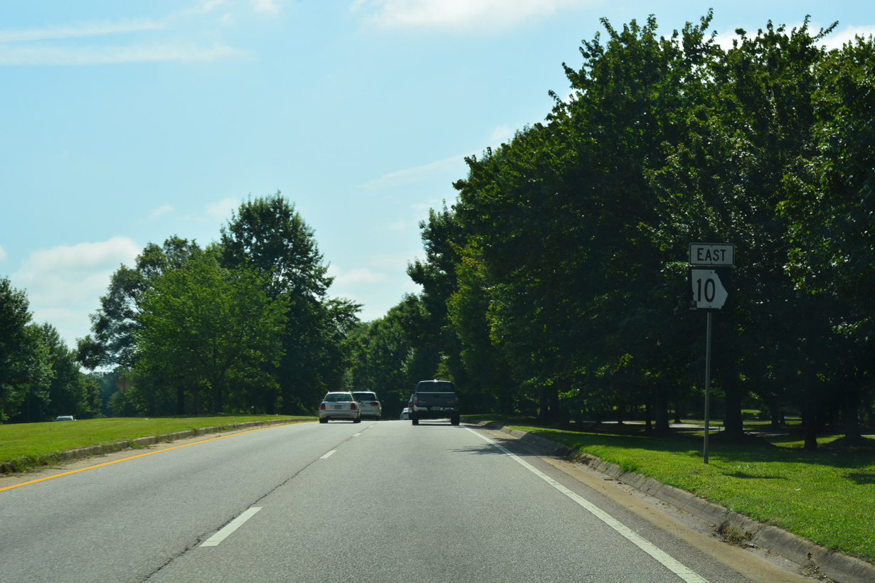
Georgia State Route 10 begins at Downtown Atlanta, at a multi level interchange (Exit 248D) along I-75/85 (Downtown Connector). Initially following a short freeway built as part of the cancelled Interstate 485, SR 10 heads east to Boulevard and northeast along John Lewis Freedom Parkway to the Jimmy Carter Presidential Center. Freedom Parkway concludes at U.S. 29/78/278-SR 8 (Ponce De Leon Avenue) and the Virginia-Highland neighborhood in Atlanta.
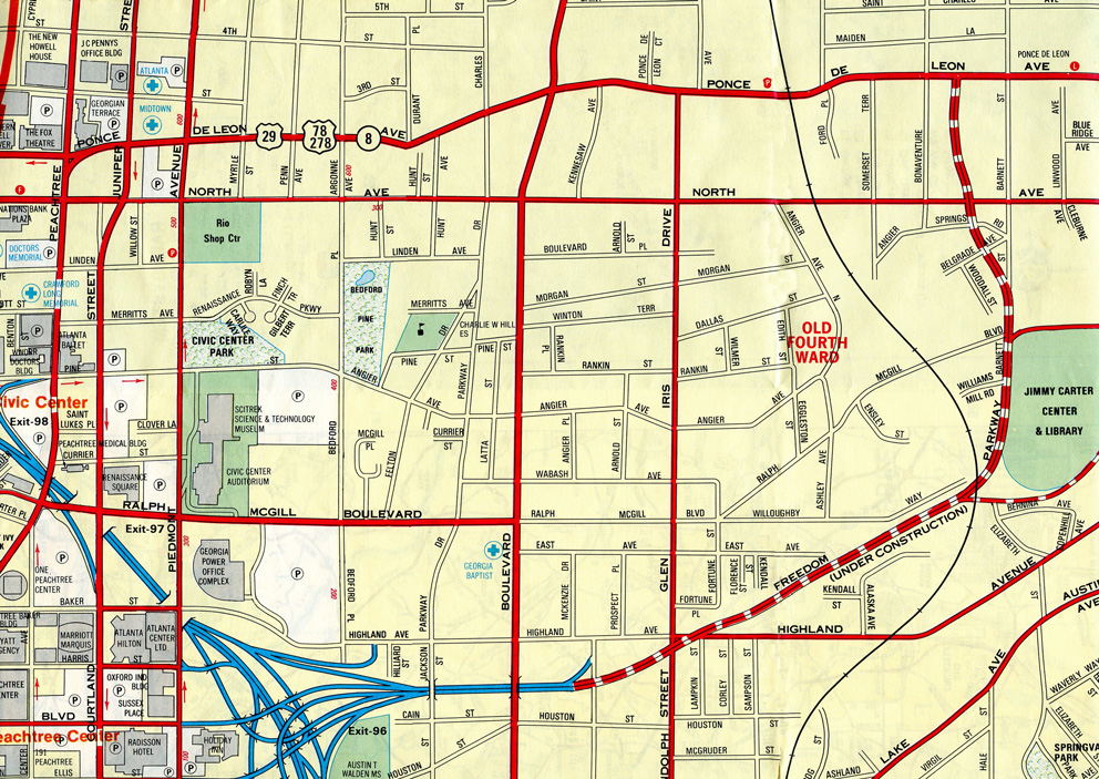
Freedom Parkway under construction from the SR 10 freeway spur to Boulevard northeast to U.S. 29/78/278 (Ponce De Leon Avenue) in 1993
SR 10 accompanies U.S. 29/78/278 (Ponce De Leon Avenue) east into Druid Hills, before shifting south alongside U.S. 278 on E Lake Road and College Avenue through the city of Decatur. U.S. 278/SR 10 part ways beyond the city of Avondale Estates at Mountain Drive. Mountain Road provides a cut off east 0.96 miles from U.S. 278/SR 12 to SR 154, where SR 10 overtakes Memorial Drive northeast toward Stone Mountain.
SR 10 rejoins U.S. 78 along the Stone Mountain Freeway between Stone Mountain Park and the community of Mountain Park. SR 10 runs concurrent with U.S. 78 (Stone Mountain Highway) to Snellville and Loganville through eastern reaches of the Atlanta metropolitan area.
Continuing across Walton County, U.S. 78/SR 10 head to Monroe, where they bypass the county seat along a freeway to the north. SR 10BU loops south through the city along a 4.08 mile long course. U.S. 78/SR 10 advance northeast from there into western Oconee County, where U.S. 78 combines with U.S. 29/SR 8-316 and SR 10 becomes part of U.S. 78BU.
Through Athens/Clarke County, U.S. 78BU/SR 10 travel east to the city center while U.S. 78 follows a freeway bypass along the southern half of SR 10LO. SR 10LO constitutes an 18.79 mile long beltway encircling Athens that doubles as parts of U.S. 29, U.S. 129, and U.S. 441 in addition to U.S. 78. SR 10 rejoins U.S. 78 east from Oak Street and Downtown Athens.
U.S. 78/SR 10 remain paired southeast to the Oglethorpe County seat of Lexington and the Wilkes County seat of Washington, where a second business loop for SR 10 separates. The 172.16 mile long route of SR 10 continues with U.S. 78 south to Thomson and east to the Savannah River and South Carolina state line beyond Downtown Augusta.
 East
East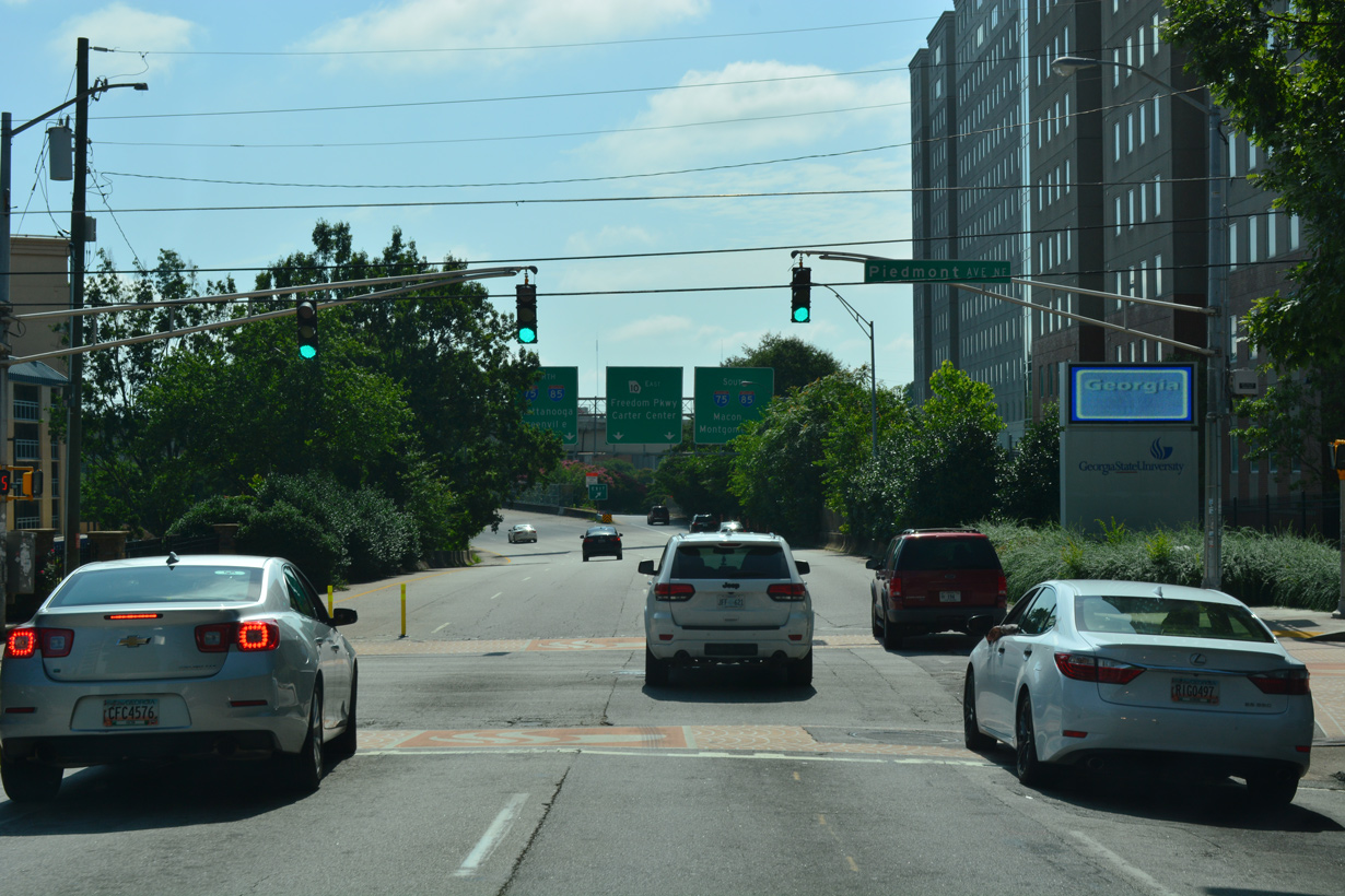
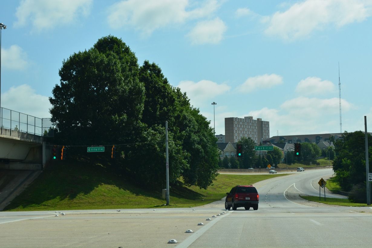
Ellis Street heads east from Downtown Atlanta to Piedmont Avenue, where SR 10 commences eastbound.
07/02/17
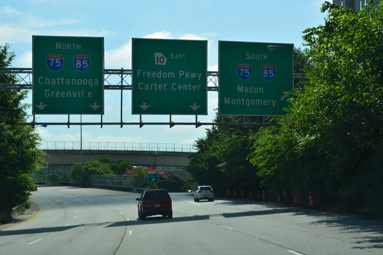
An entrance ramp departs from Ellis Street east for I-75/85 (Downtown Connector) south.
07/02/17
07/02/17
A left turn follows onto a service road linking the northbound I-75/85 (Downtown Connector) ramps with SR 10.
07/02/17
A flyover ramp links I-75/85 south with SR 10 east adjacent to the connection to John Lewis Freedom Parkway from Ellis Street.
07/02/17
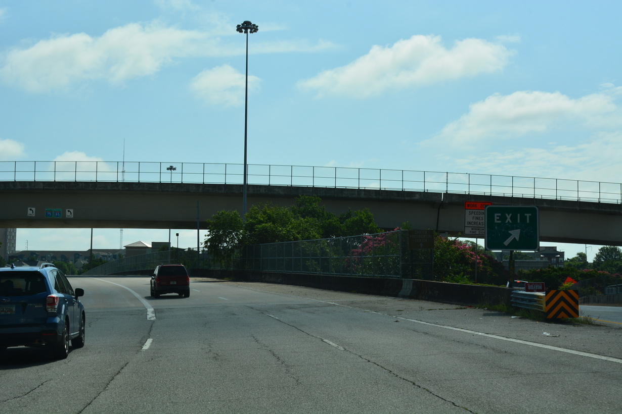
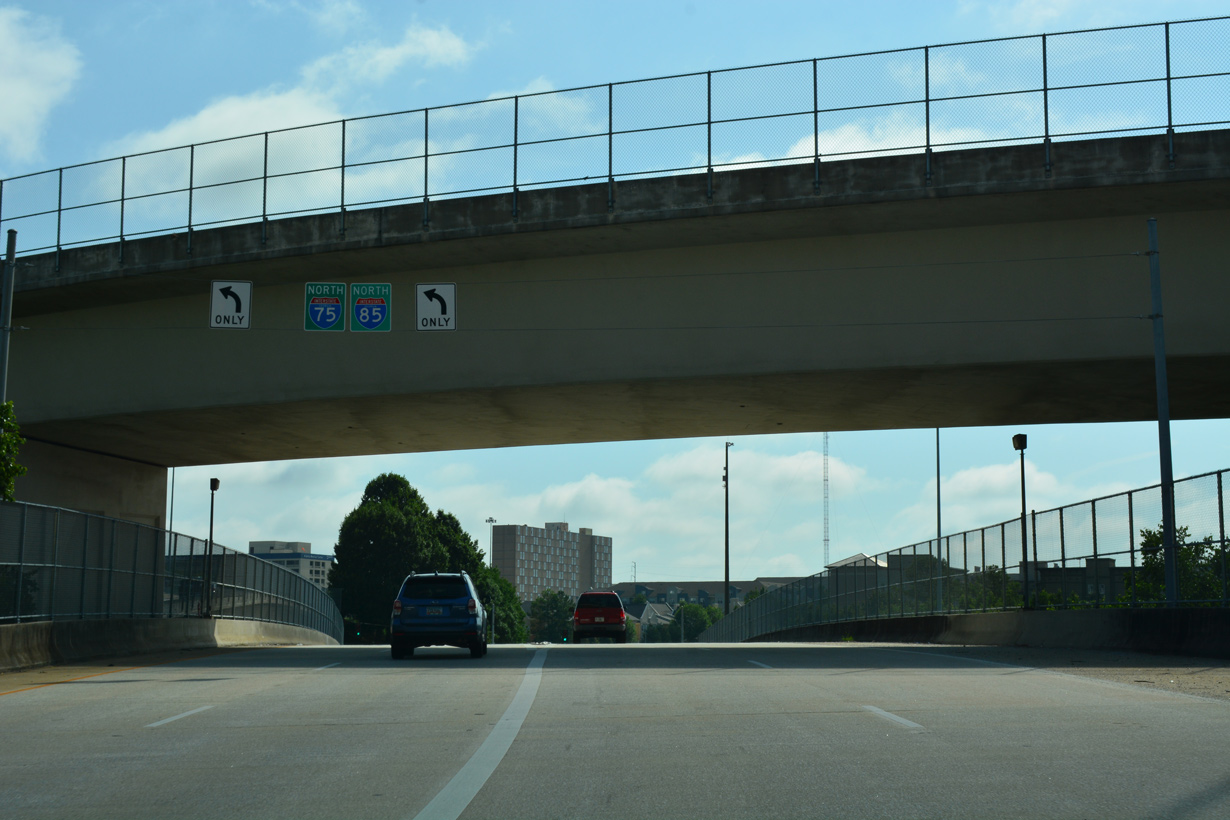
Ramps from I-75/85 to SR 10 east converge ahead of the Jackson Street overpass.
07/02/17
The Jackson Street bridge was built in 1963.
07/02/17
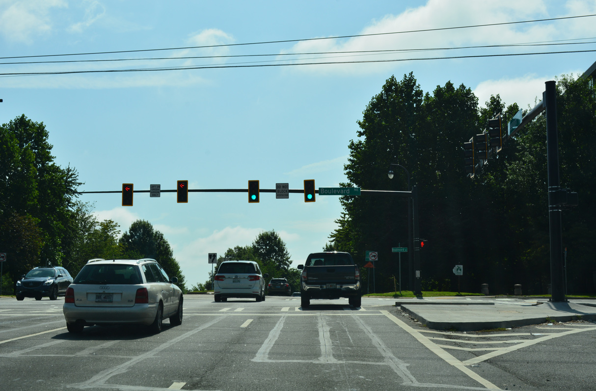
SR 10 (John Lewis Freedom Parkway) ascends to a signalized intersection with Boulevard. Previously Boulevard spanned SR 10 on an overpass.
07/02/17
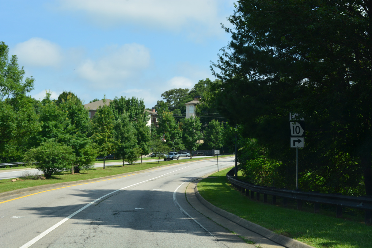
The first confirming marker for SR 10 east stands beyond Boulevard.
07/02/17
07/02/17

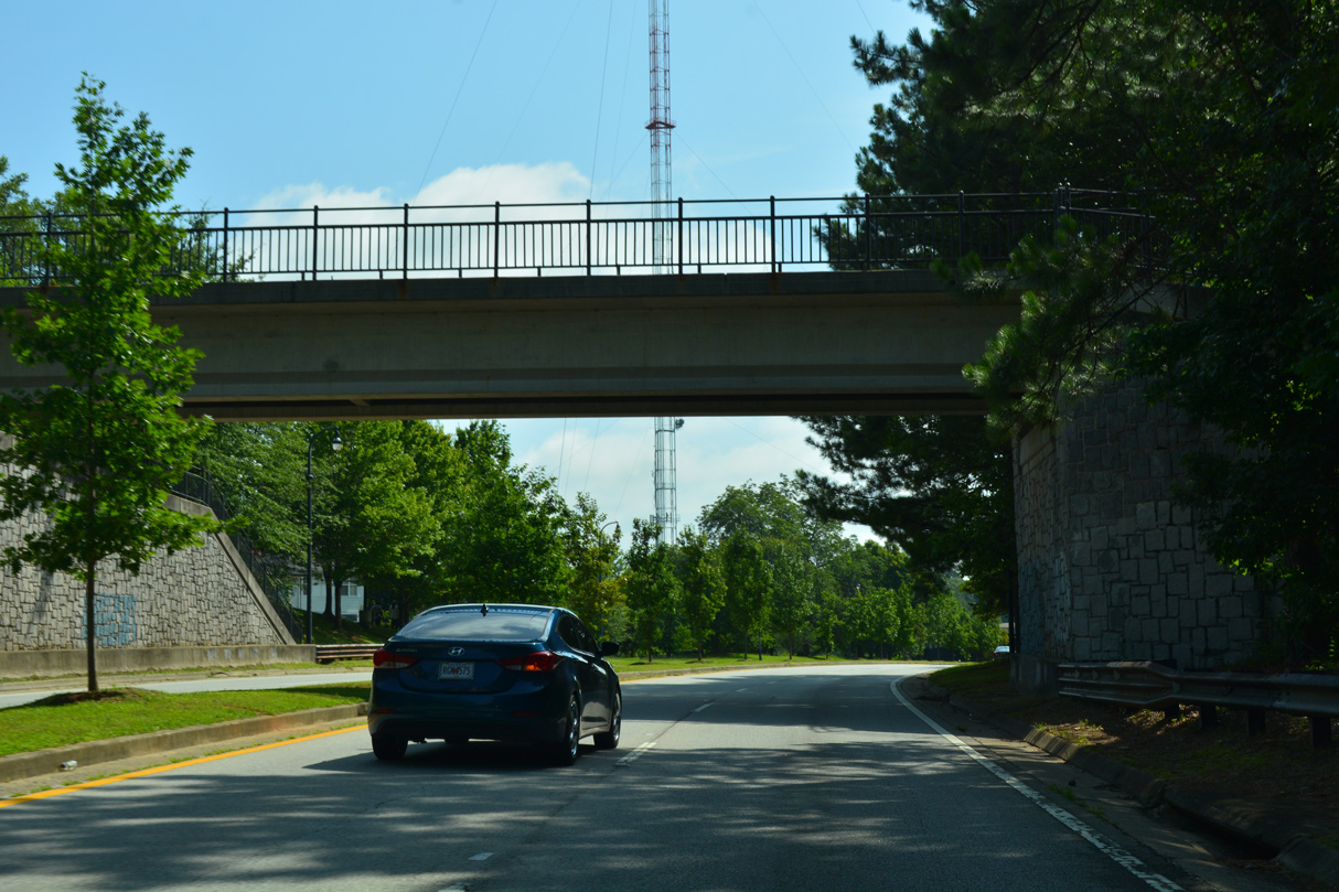
Randolph Street spans SR 10 (John Lewis Freedom Parkway) south of the intersection with Highland Avenue at the Old Fourth Ward neighborhood.
07/02/17

Highland Avenue spans SR 10 east from Randolph Street toward Inman Park.
07/02/17
A pedestrian bridge follows at Freedom Park Trail.
07/02/17
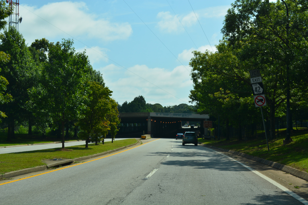
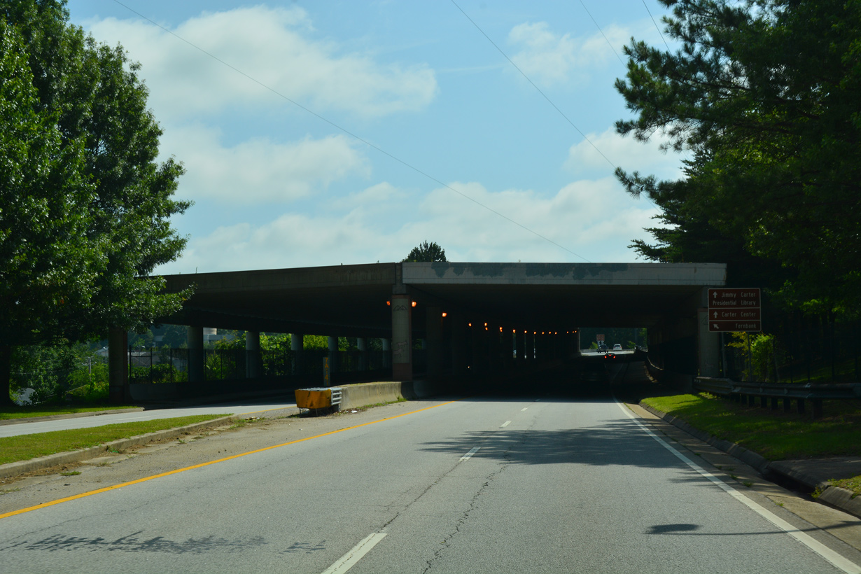
The eastern branch of John Lewis Freedom Parkway linking SR 10 with U.S. 23/SR 42 is SR 42 Connector.
07/02/17
07/02/17
07/02/17
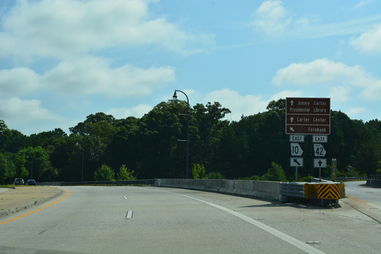
SR 42CO encircles the Jimmy Carter Presidential Library and Museum east along a 0.62 mile course to U.S. 23/SR 42 (Moreland Avenue) north of Little Five Points.
07/02/17
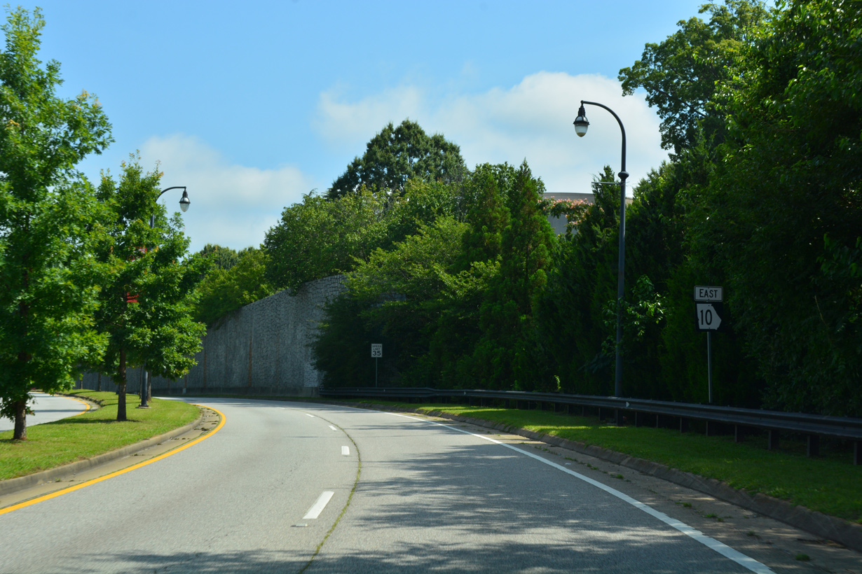
Exit ramps link SR 10 with SR 42CO east ahead of this confirming marker.
07/02/17
SR 42CO (John Lewis Freedom Parkway NE) west concludes at a signalized intersection with SR 10 across from Ralph McGill Boulevard NE.
07/02/17
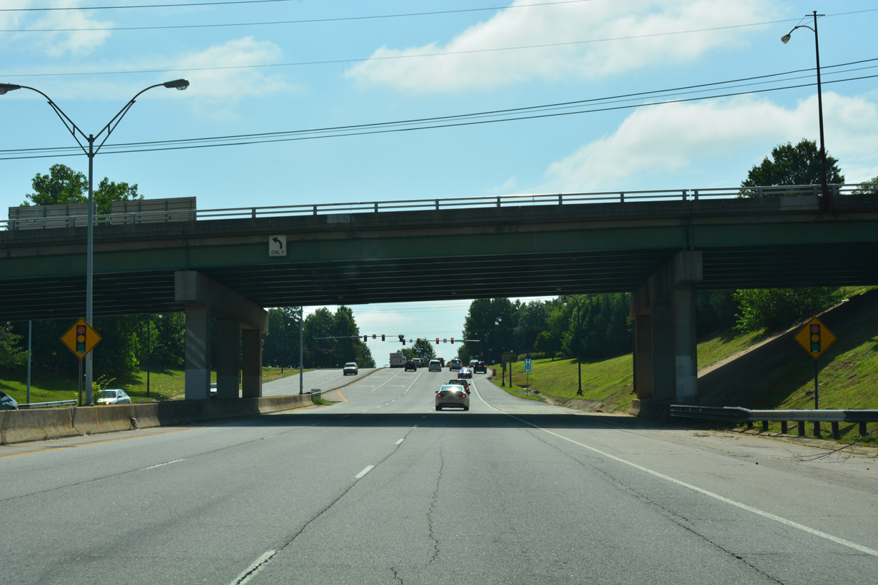
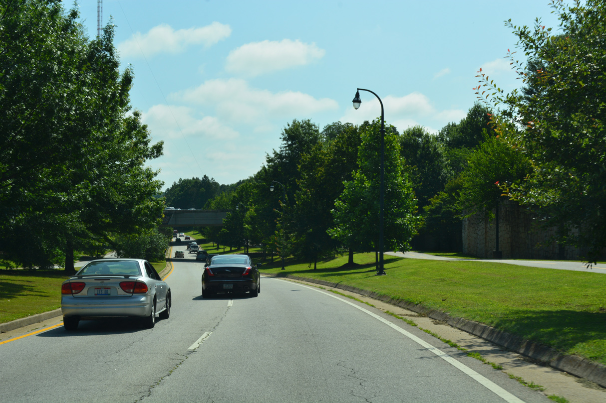
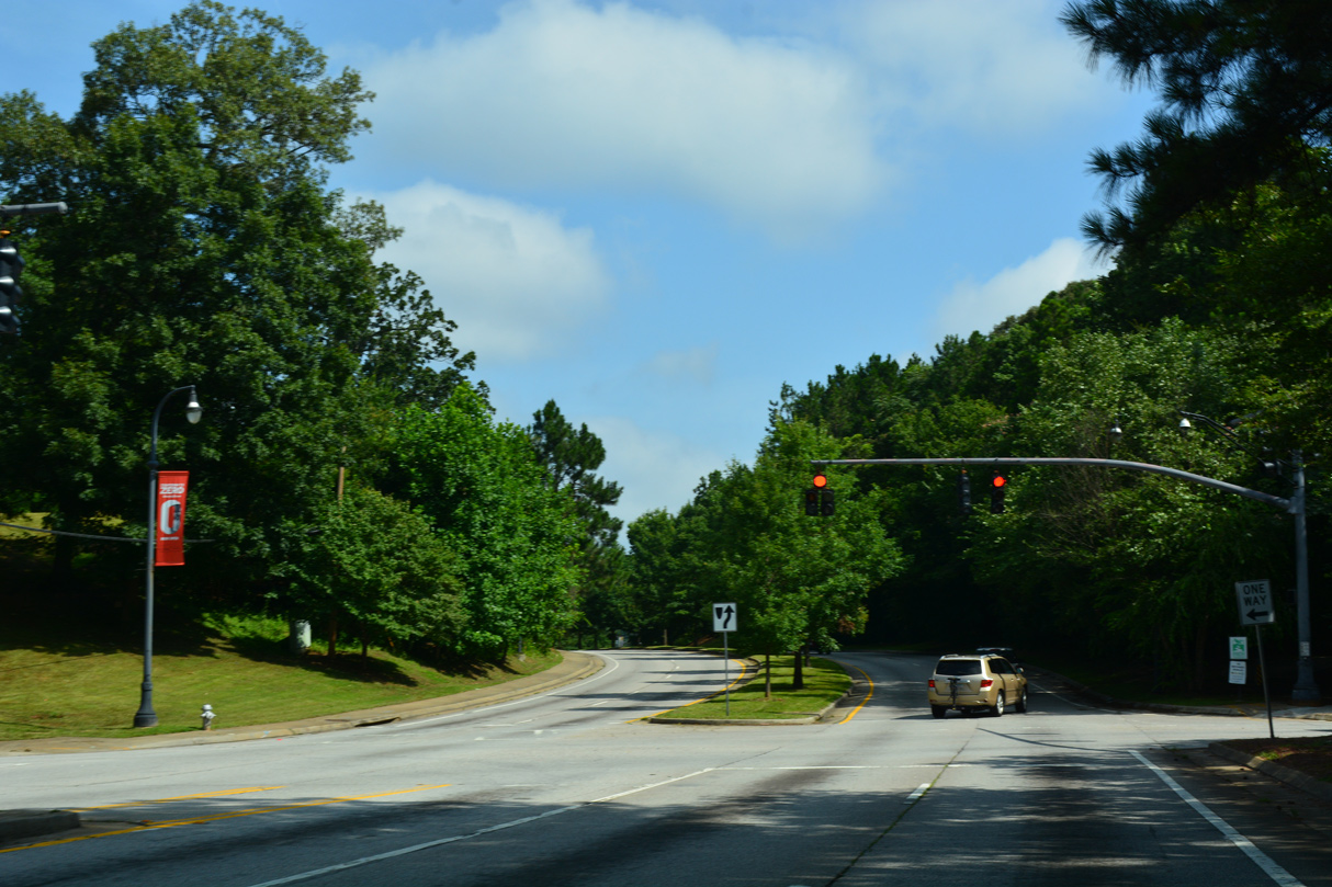
Continuing north, SR 10 (John Lewis Freedom Parkway NE) next intersects North Avenue at the Poncey-Highland neighborhood.
07/02/17
07/02/17
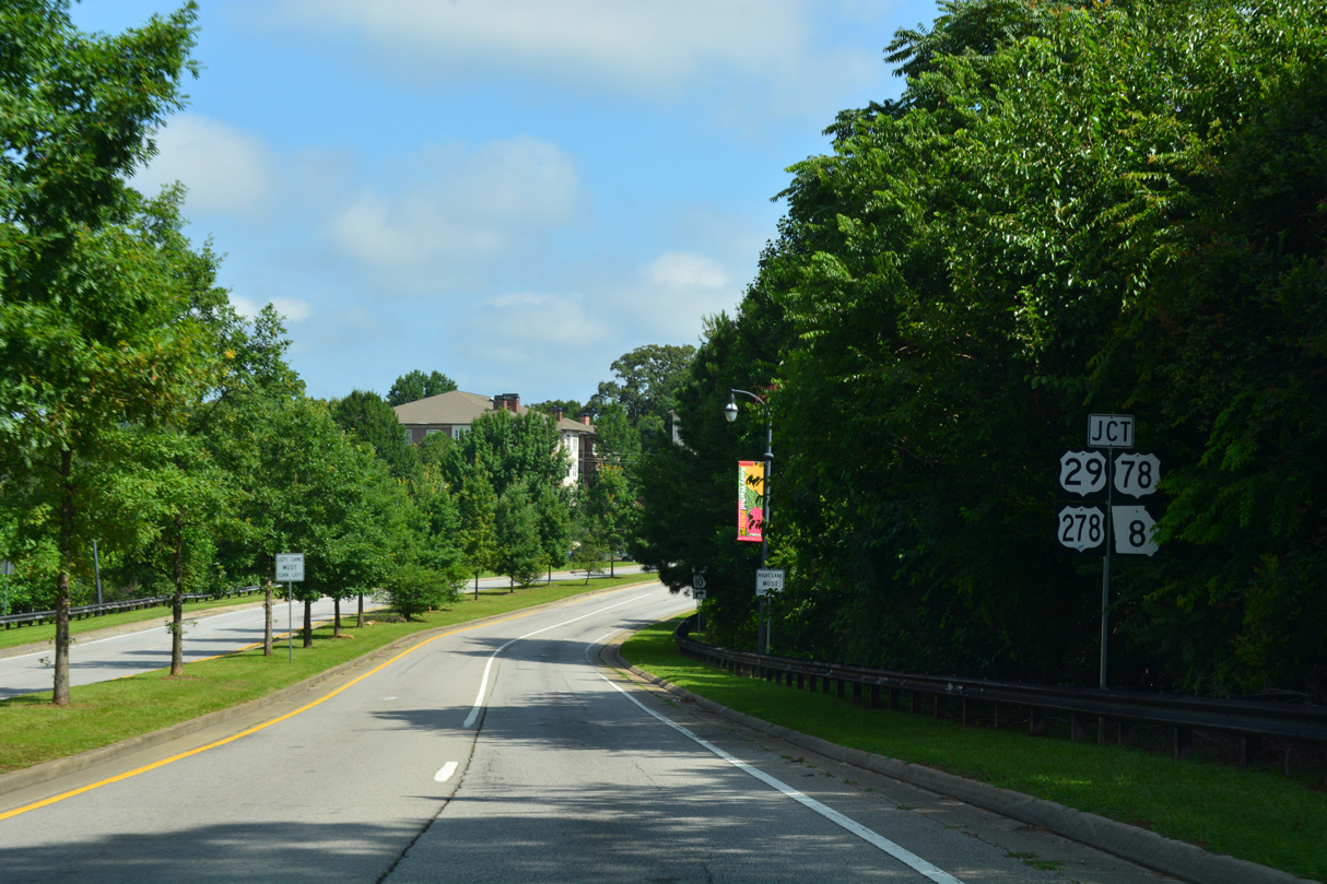
SR 10 combines with U.S. 29/78/278-SR 8 (Ponce De Leon Avenue) east to Druid Hills in DeKalb County.
07/02/17
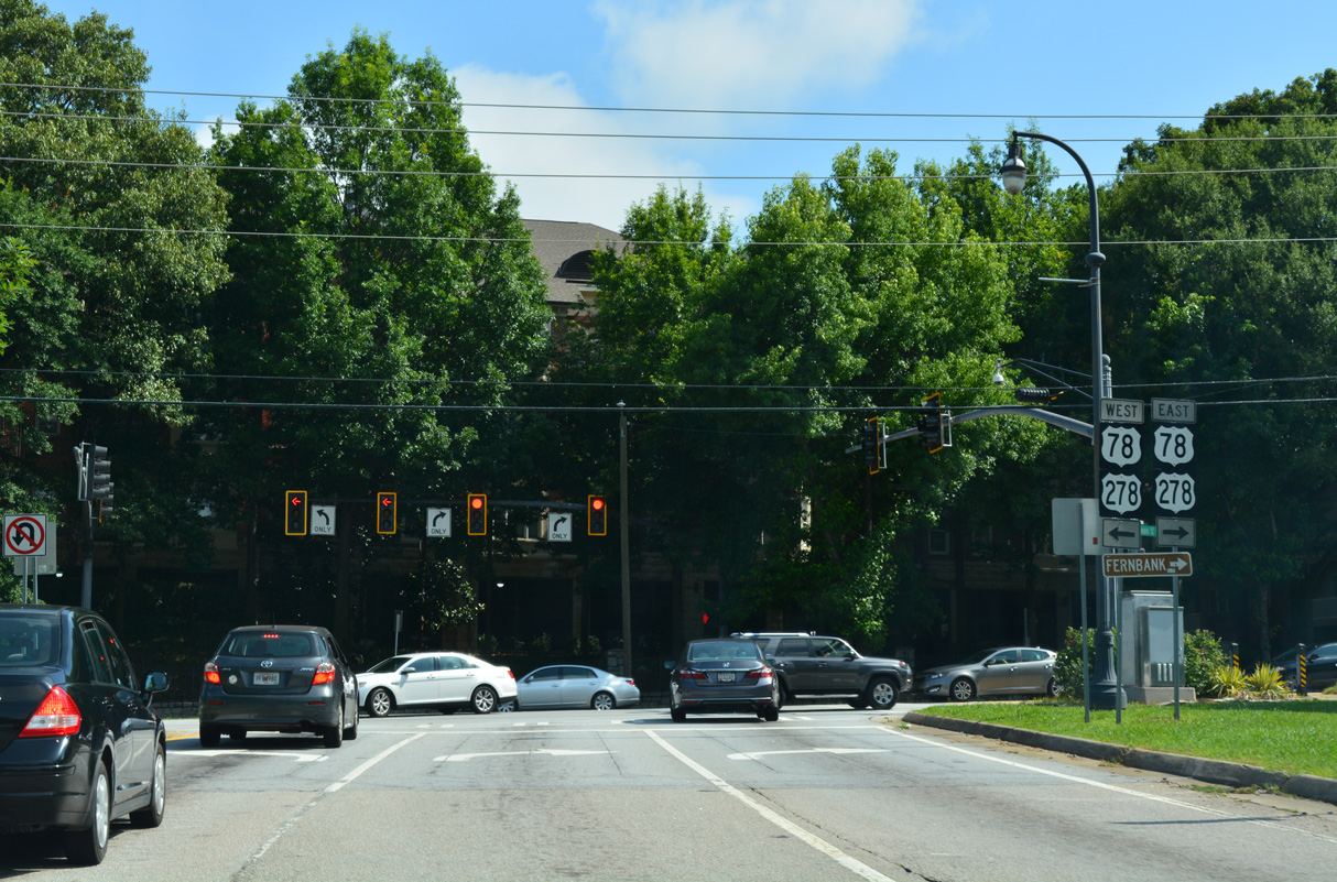
U.S. 29/78/278-SR 8 continue west along Ponce De Leon Avenue to the couplet of Piedmont Avenue NE and Juniper Street NE, where they shift south one block onto North Avenue across I-75/85 (Downtown Connector).
07/02/17
West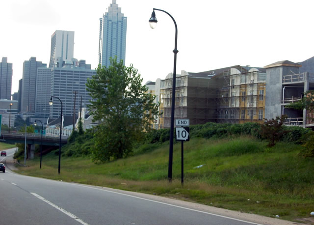
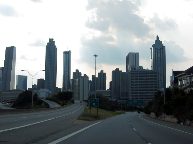
An end shield for SR 10 preceded the Jackson Street overpass. Knocked over in June 2016, the assembly was gone by August 2016 and never replaced.
08/22/03
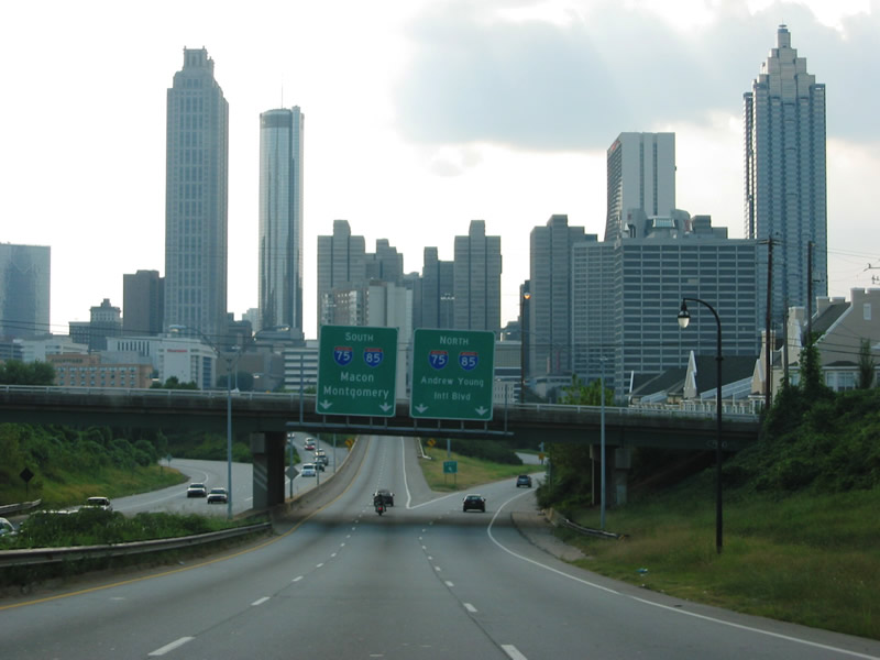
Traffic partitions below Jackson Street to a flyover joining SR 10 with I-75/85 (Downtown Connector) southbound and ramps for I-75/85 north and Andrew Young International Boulevard west into Downtown Atlanta.
08/22/03
The flyover for I-75/85 south joins the Downtown Connector ahead of the Georgia State capitol and the Capitol Hill Interchange with Interstate 20.
08/22/03
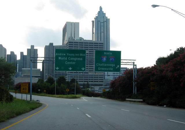
I-75/85 weave northward between Georgia Tech and Midtown Atlanta to their separation at the Brookwood Interchange. SR 10 west transitions into Andrew Young International Boulevard to Peachtree Center in Downtown Atlanta.
08/22/03
Photo Credits:
- 08/22/03 by AARoads and Justin Cozart. 07/02/17 by AARoads.
Connect with:
Interstate 20
Interstate 75
Interstate 85
Interstate 285 - Atlanta Perimeter Highway
Interstate 520 - Bobby Jones Expressway
U.S. 1
U.S. 25
U.S. 29
U.S. 78
U.S. 129
U.S. 221
U.S. 441
State Route 10 Loop - Athens Perimeter Highway
State Route 42 Connector - Atlanta
Page Updated 03-26-2022.