Georgia State Route 21 parallels the Savannah River Valley northwest from Savannah to Springfield, Sylvania and Millen. 84.39 miles in length, SR 21 varies between sections of four lane divided highway and five lane arterial. Within the Savannah area, SR 21 constitutes a heavily traveled trucking corridor to the Georgia Port Authority terminals at Port Wentworth and Garden City, and a commuter route to the growing north suburbs. The state route also overlays all of Interstate 516 along William F. Lynes Parkway, an urban loop encircling central Savannah.
With traffic congestion an increasing problem at Interstate 95, a $6 million project converted the exchange at Exit 109 into a diverging diamond interchange. Taking nearly two years to complete, the DDI debuted to traffic on January 15, 2017.1
A business route for State Route 21 loops into Sylvania in Screven County. The 2.87 mile long route joins SR 21 with Downtown and the Screven County Courthouse as SR 21 bypasses the city to the south and west.
|
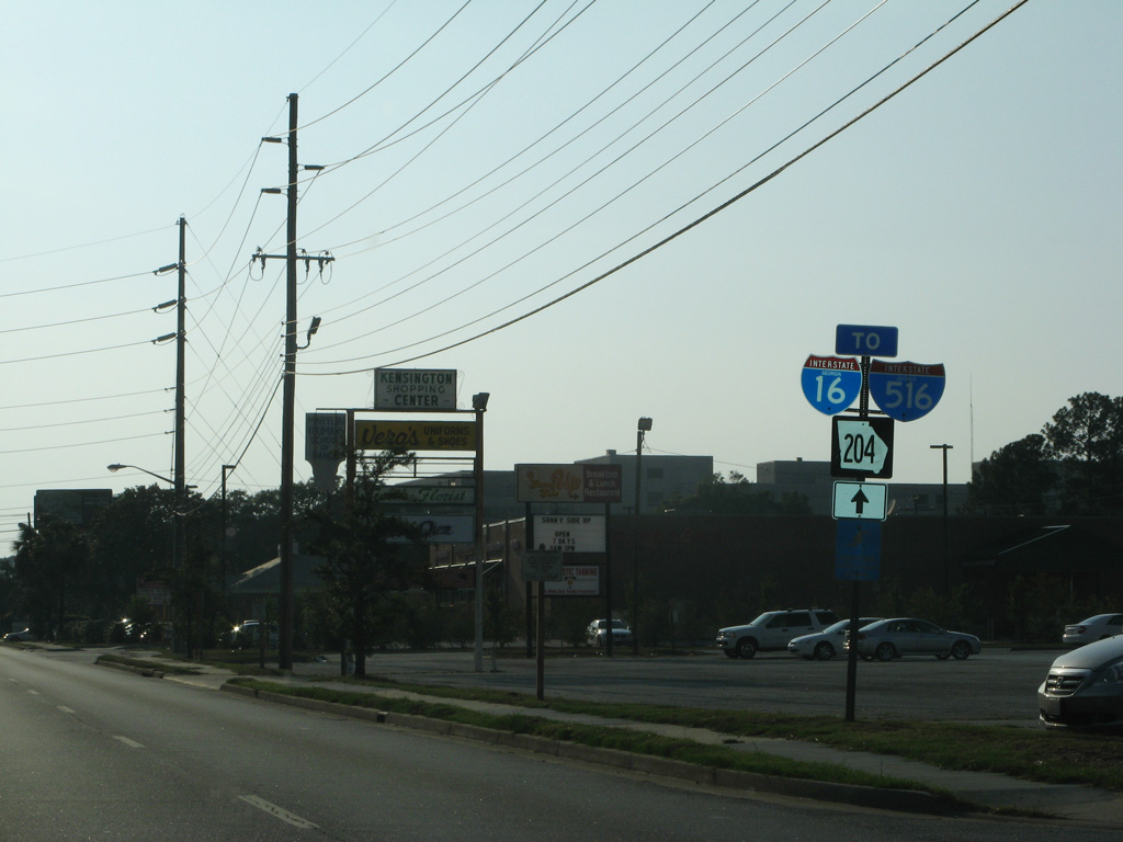
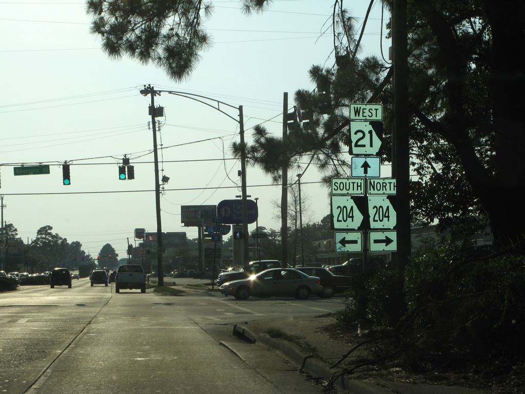
| DeRenne Avenue advances west from Waters Avenue by the Kensington community toward SR 204 (Abercorn Street) and SR 21 north. 05/29/07 |
|
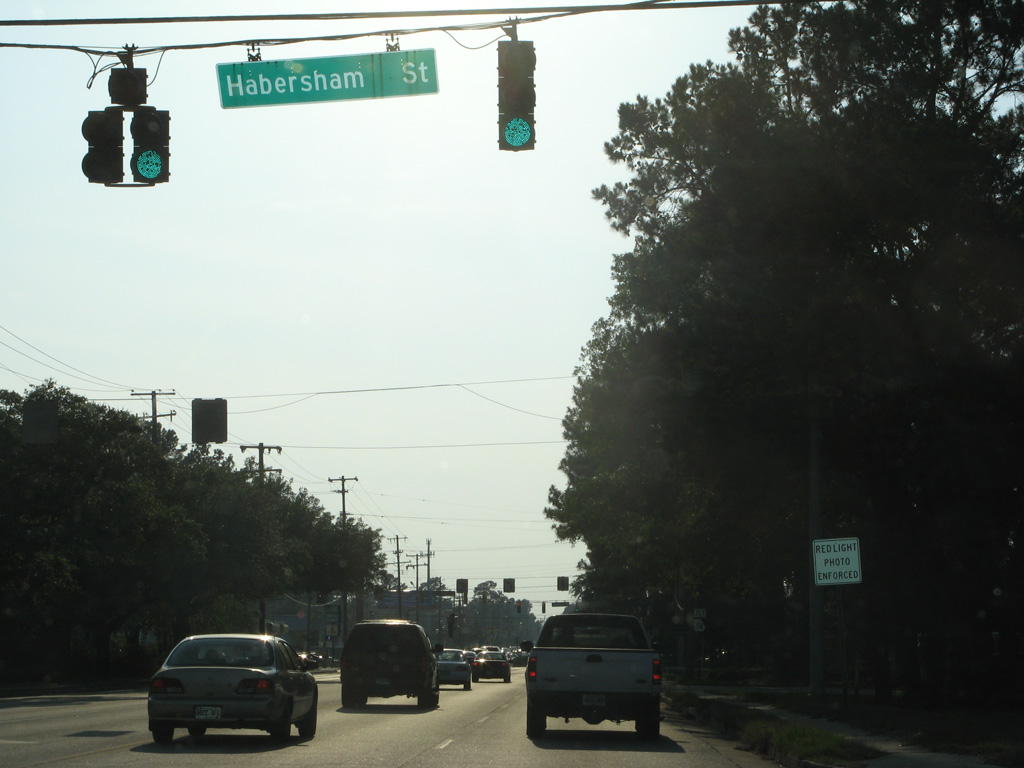
| Habersham Street intersects DeRenne Avene north from the Groveland neighborhood, and just ahead of the junction with SR 21 and 204. 05/29/07 |
|
| SR 21 commences along DeRenne Avenue west from SR 204 (Abercorn Street). Abercorn Street leads SR 204 south toward Southside Savannah. Prior to 2020, SR 204 extended north through Lamara Heights to 37th Street. 05/29/07 |
|
| Trailblazers for I-16 and I-516 stand at the northbound beginning of SR 21 (DeRenne Avenue). 07/25/22 |
|
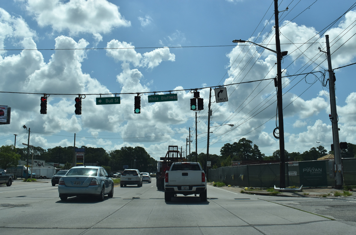
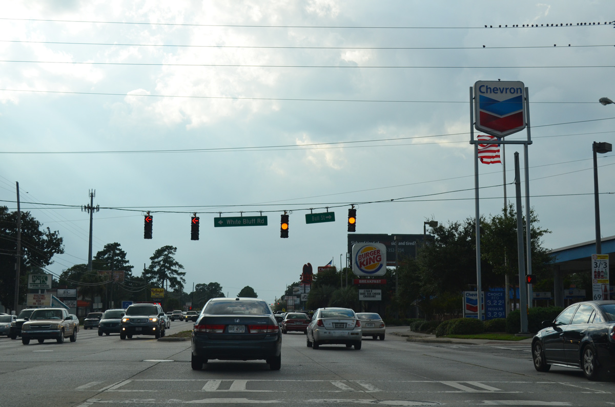
| White Bluff Road north and Bull Street south come together at a signal midway between SR 204 (Abercorn Street) and the freeway beginning at Montgomery Street. White Bluff Road forms an arterial south to Savannah Technical College and Abercorn Street near Oglethorpe Mall. 09/22/14 |
|
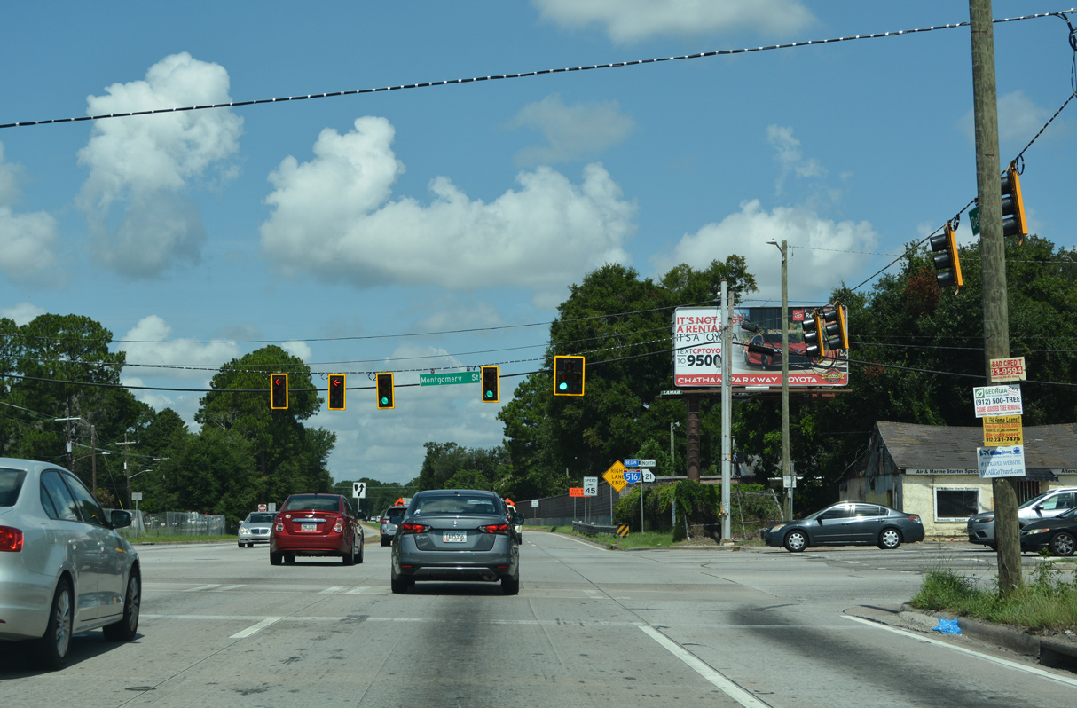
| Montgomery Street leads south through the Tatumsville and Staley Heights communities to intersect DeRenne Avenue where SR 21 north becomes Interstate 516. Montgomery Street curves southwest to become Duncan Drive leading into Hunter Army Airfield. 07/25/22 |
|
| The first confirming marker for I-516 north appears just west of the right in right out (RIRO) intersection with Mildred Street. I-516/SR 21 overlap for the entire length of William W. Lynes Parkway to Garden City. 07/25/22 |
|
| SR 21 continues north from the end of I-516 as an at-grade arterial through Garden City and Port Wentworth. 05/29/05 |
|
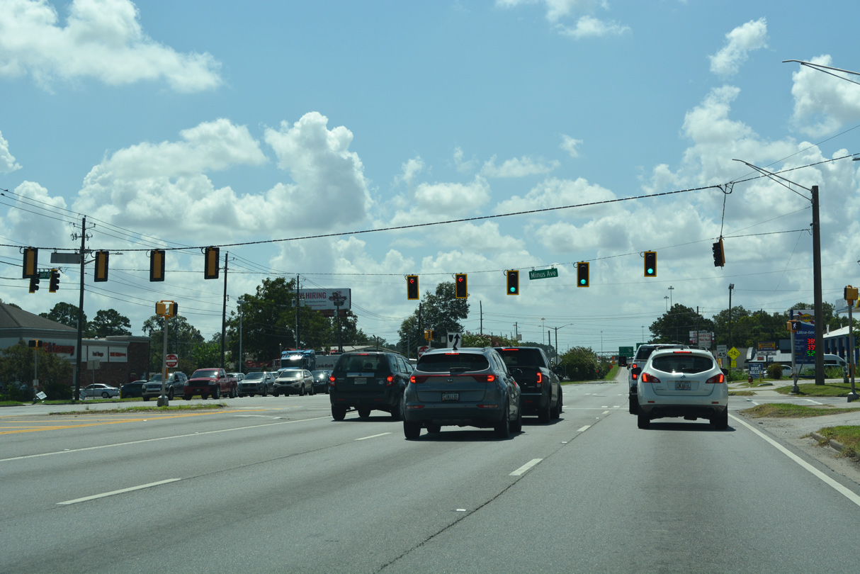
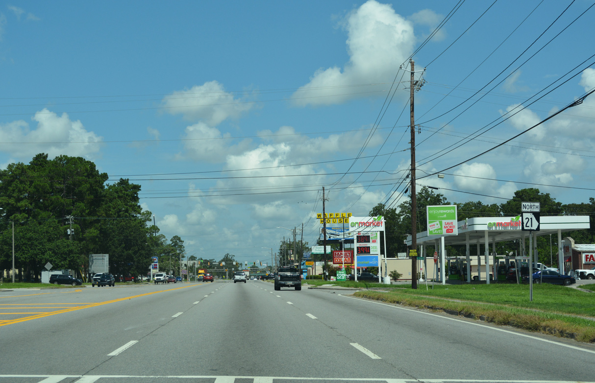
| SR 21 (Augusta Road) north at Minus Avenue, a local connector to an industrial park and retail areas north to SR 25 (Main Street). 07/25/22 |
|
| SR 21 (Augusta Road) continues north to SR 21SP (Brampton Road). 07/25/22 |
|
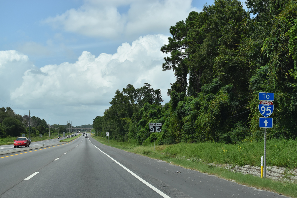
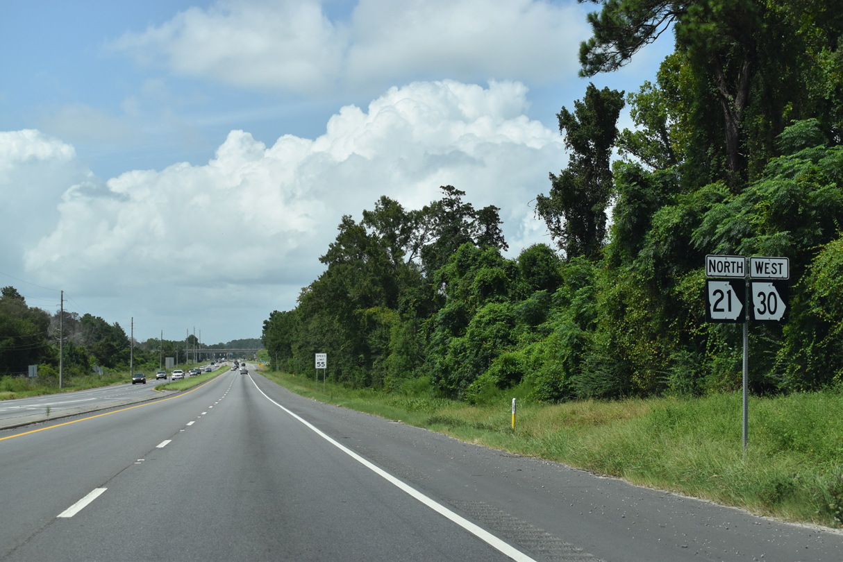
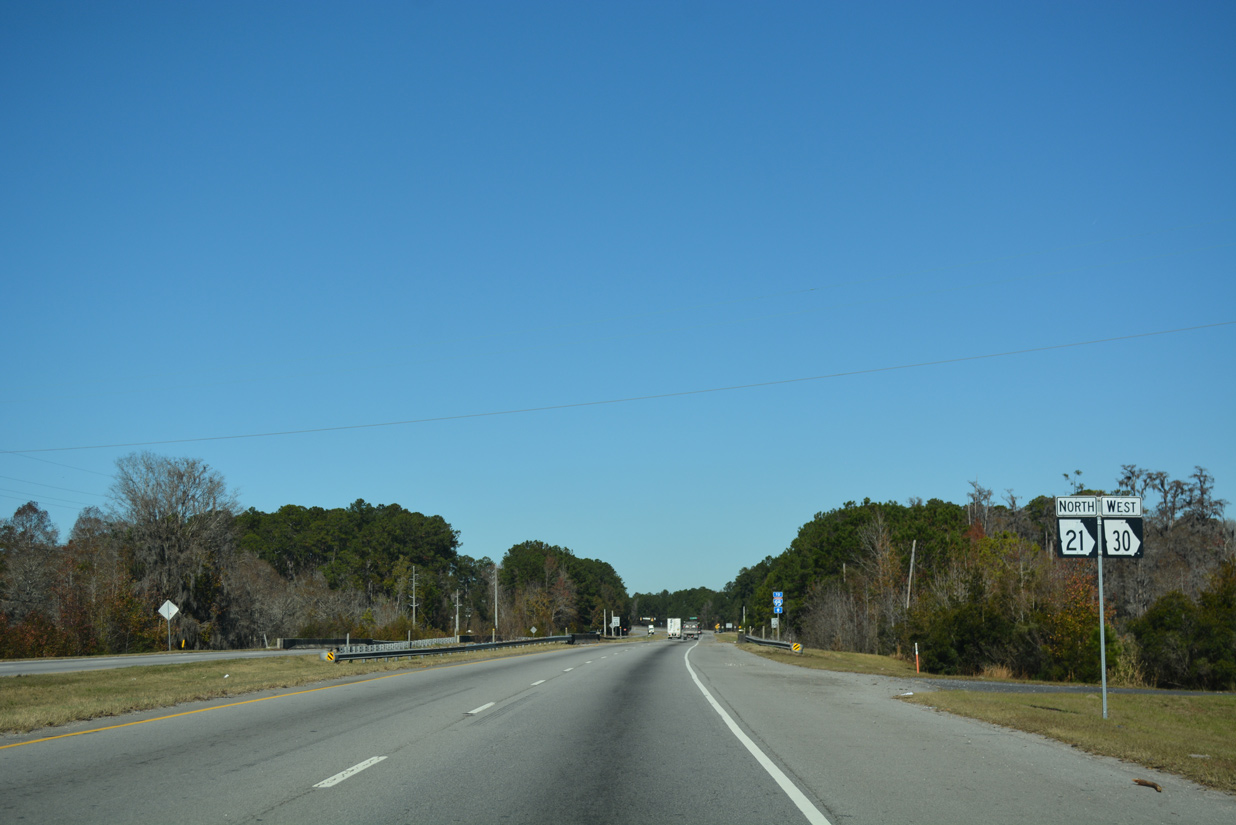
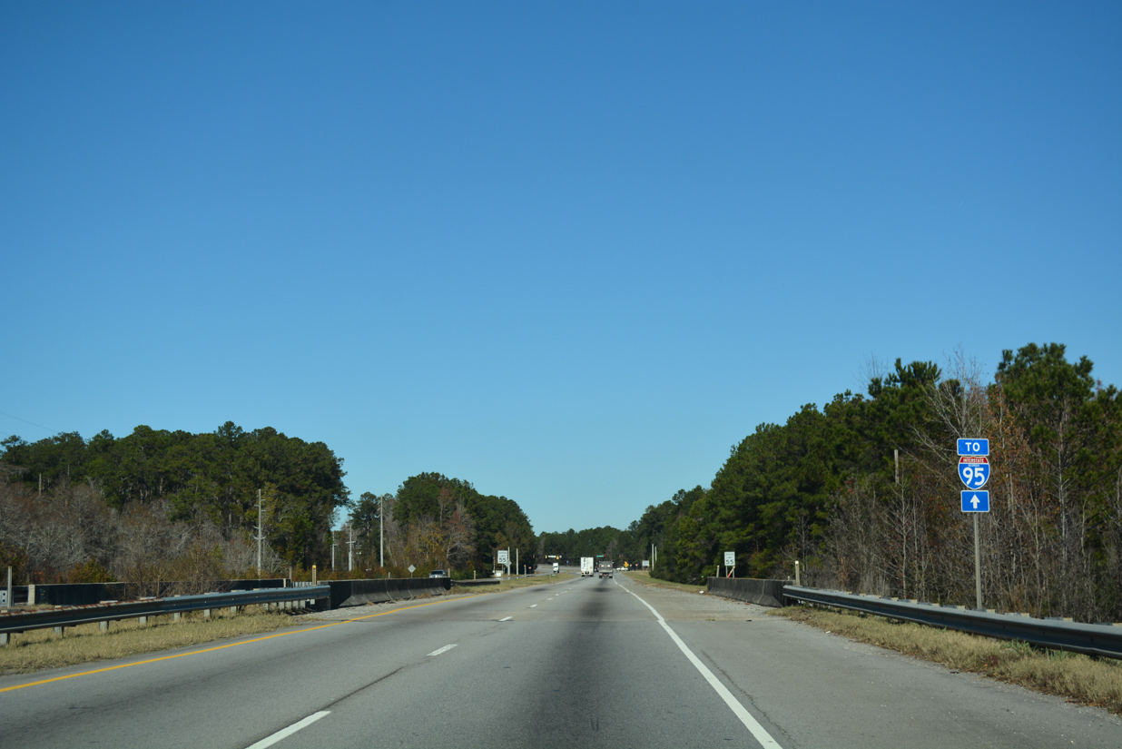
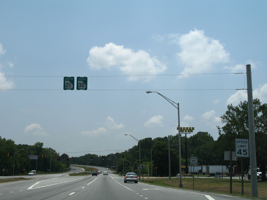
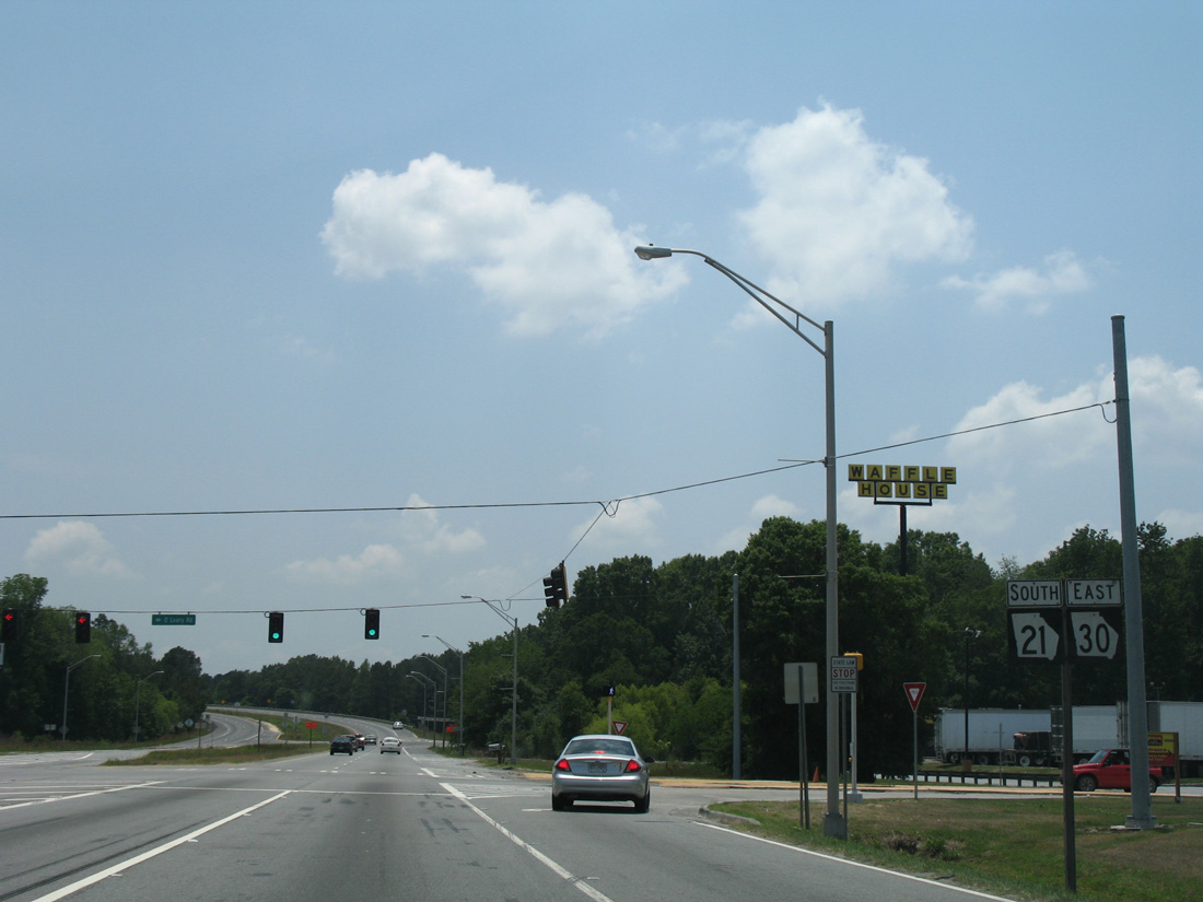
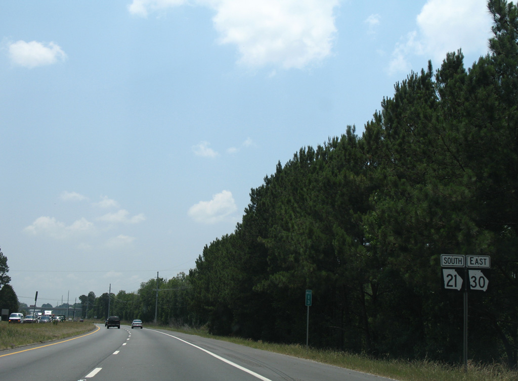
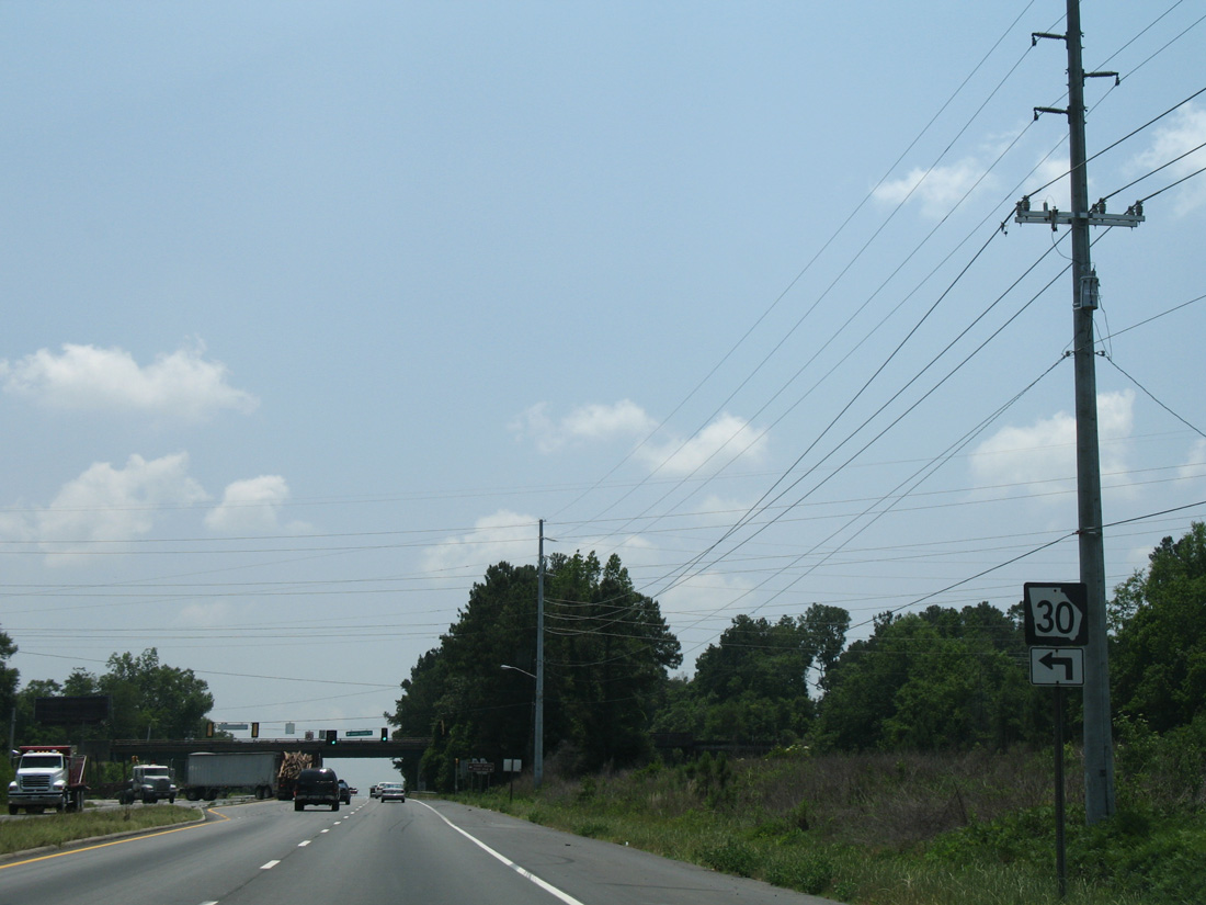
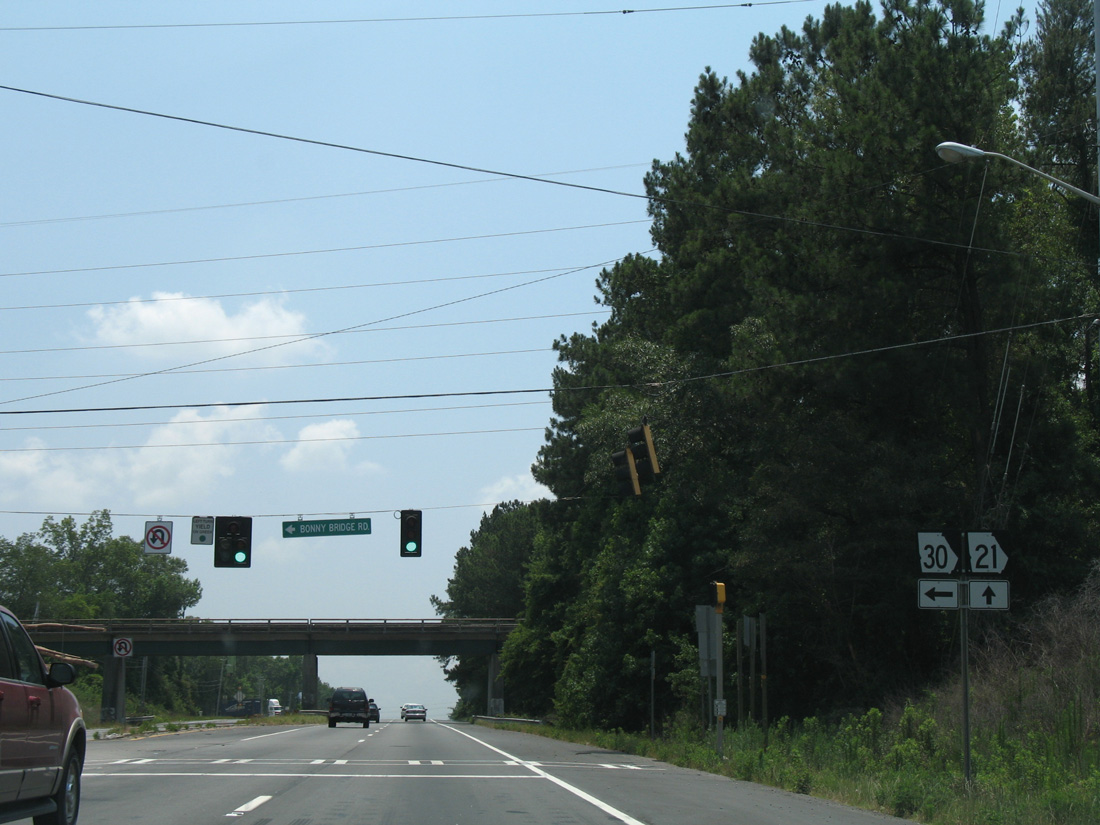
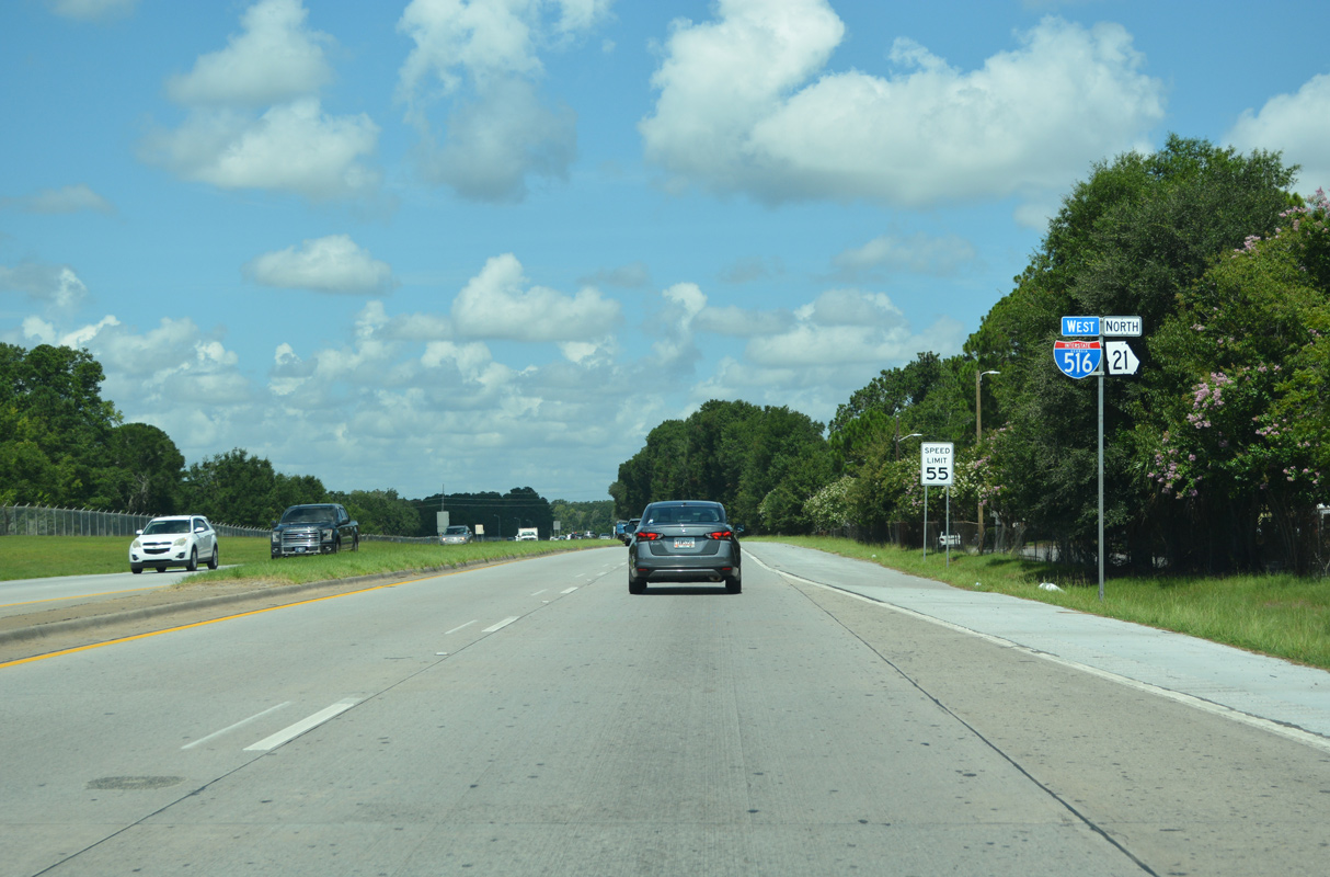
| SR 30 west joins SR 21 north from Bonnybridge Road, 2.6 miles ahead of Interstate 95. 08/28/21 |
|
| SR 21/30 run concurrent for 3.29 miles along Augusta Road north. 08/28/21 |
|
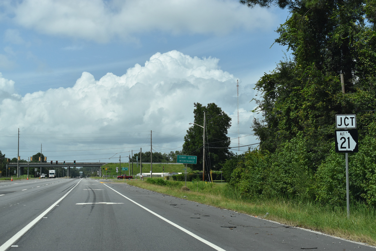
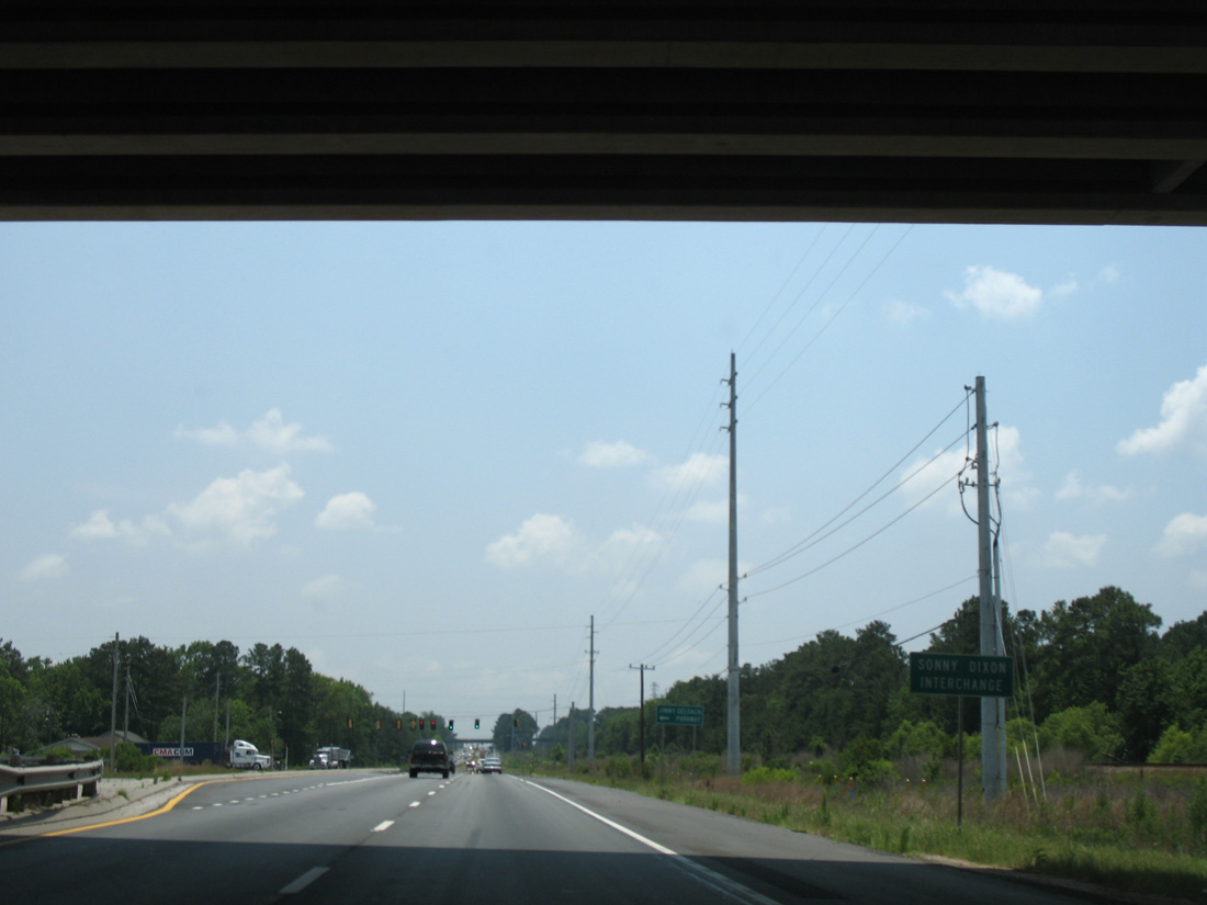
| SR 21AL ties into SR 21/30 (Augusta Road) at the Sonny Dixon Interchange. 08/28/21 |
|
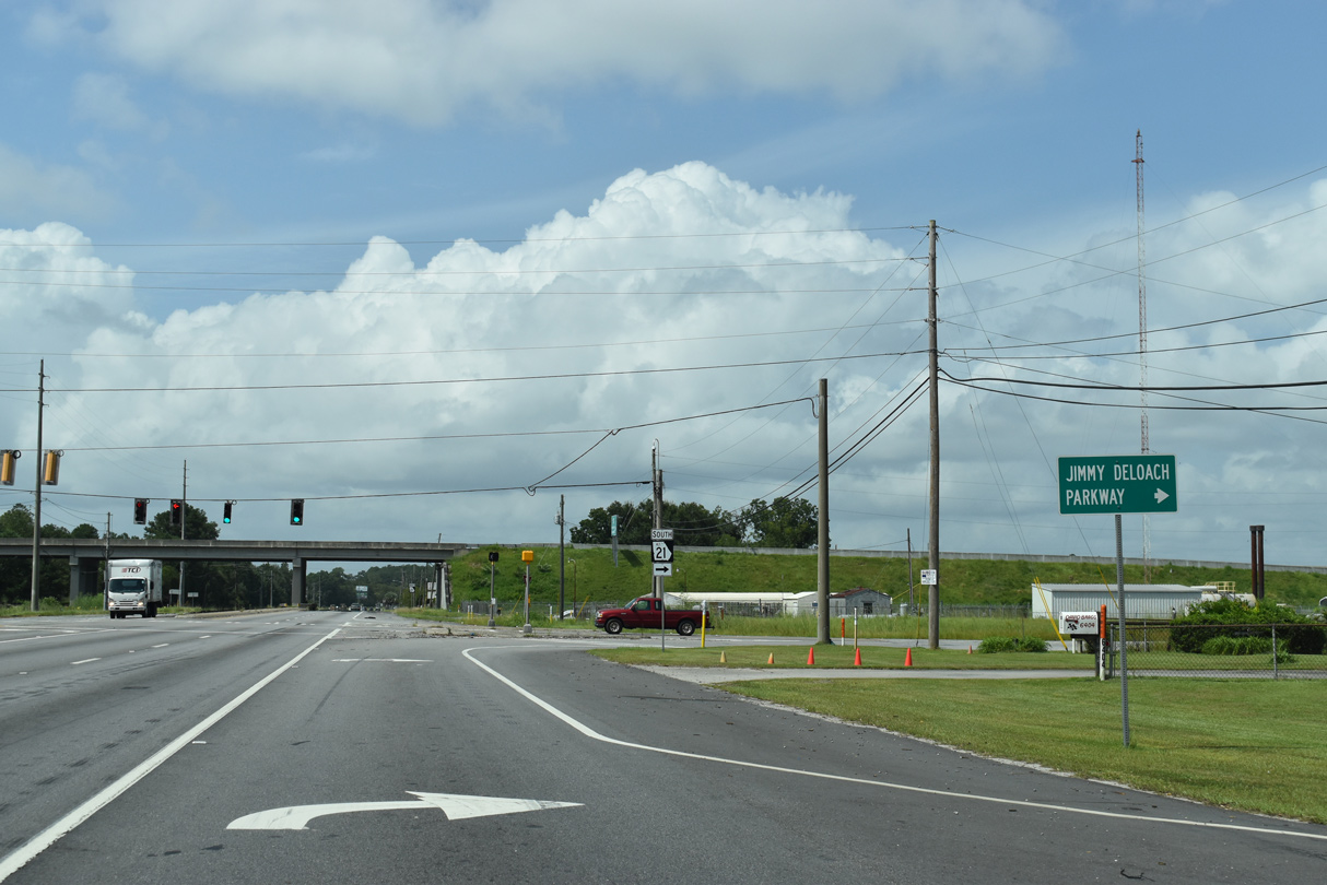
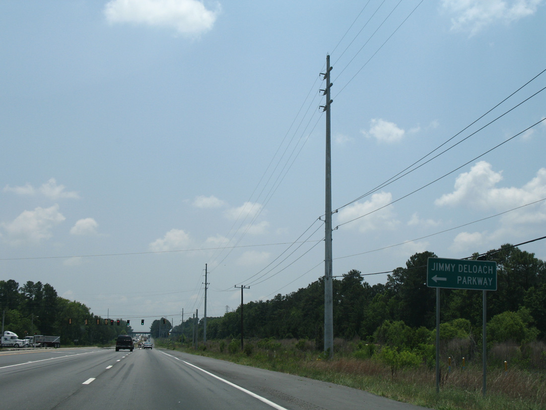
| SR 21AL follows the Jimmy DeLoach Connector south from Jimmy DeLoach Parkway (SR 17), a four lane arterial leading west to Bloomingdale. 08/28/21 |
|
| A diamond interchange links SR 21AL with Jimmy DeLoach Connector, a freeway spur south 3.13 miles to SR 307, and the beginning of SR 17 north along Jimmy DeLoach Parkway. 08/28/21 |
|
| Confirming marker posted along Augusta Road north between SR 21 Alternate (Sonny Dixon Interchange) and the Jimmy DeLoach parkway overpass. 12/13/17 |
|
| Pinderpoint Road stems west from SR 21/30 (Augusta Road) to Expansion Boulevard at Crossroads Business Center ahead of this shield assembly. 12/13/17 |
|
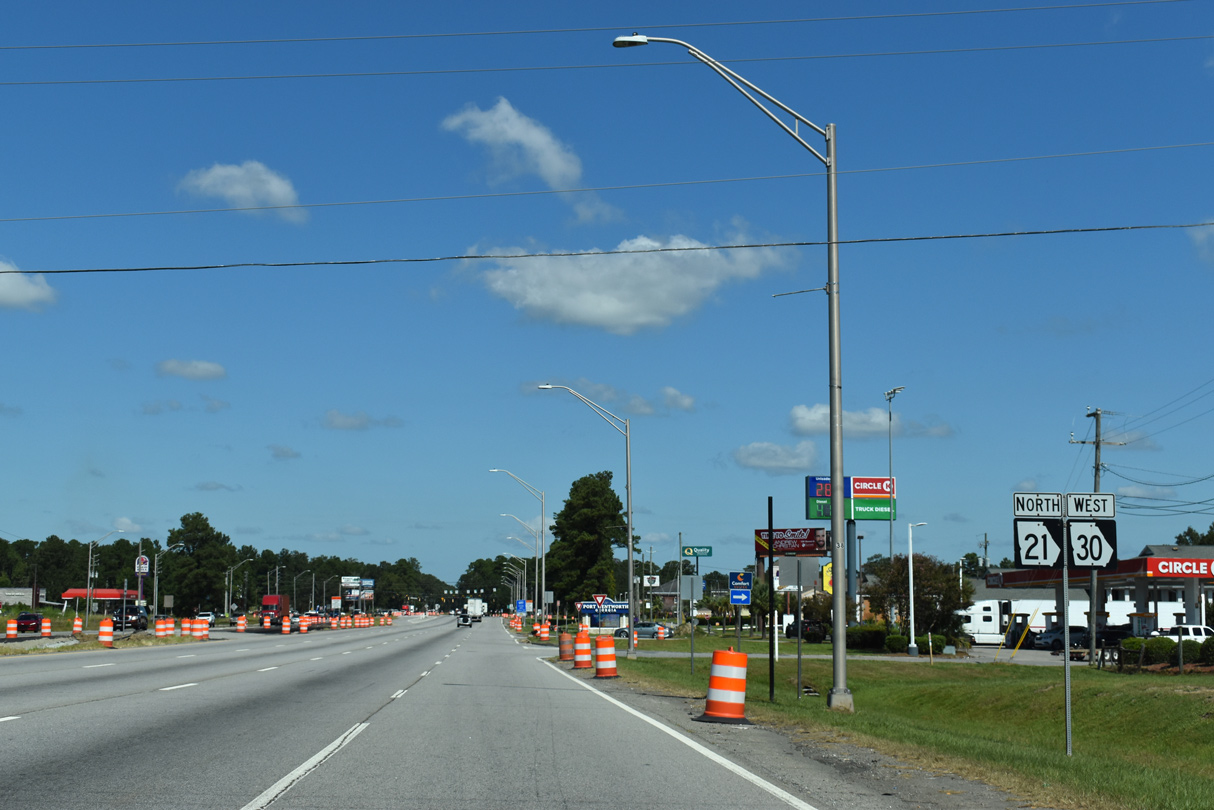
| An array of traveler services line SR 31/30 north from I-95 to their separation at Old Richmond Road. 09/25/22 |
|
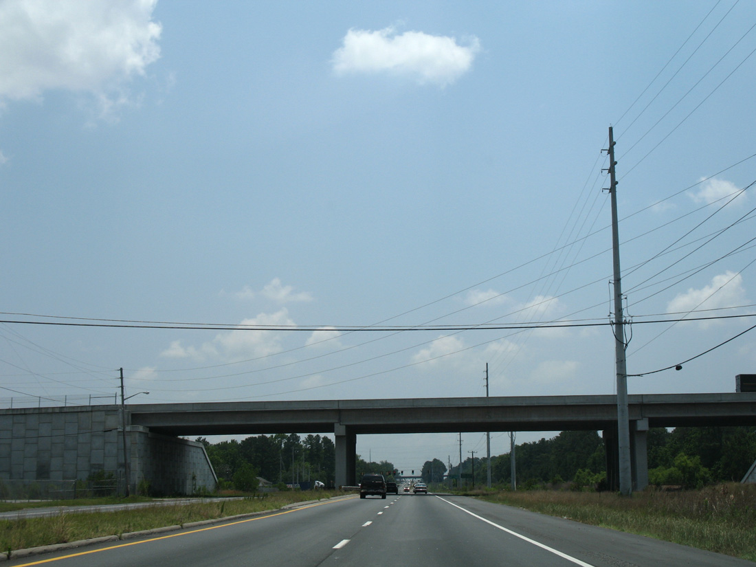
| A pair of 1980-built bridges carry SR 21/30 (Augusta Road) across St. Augustine Creek by this I-95 trailblazer. 12/13/17 |
|
| The succeeding traffic light on Augusta Road north operates at International Trade Parkway south from adjacent distribution center and warehouse businesses. 12/13/17 |
|
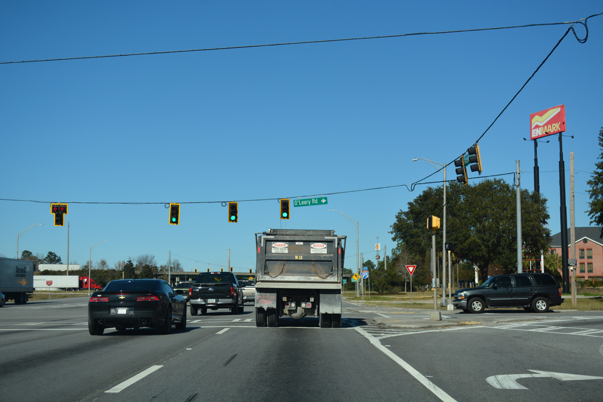
| Augusta Road navigates through an S-curve across the CSX Railroad line ahead of O'Leary Road. An array of trucking and motorist services line O'Leary Road adjacent to Interstate 95. 12/13/17 |
|
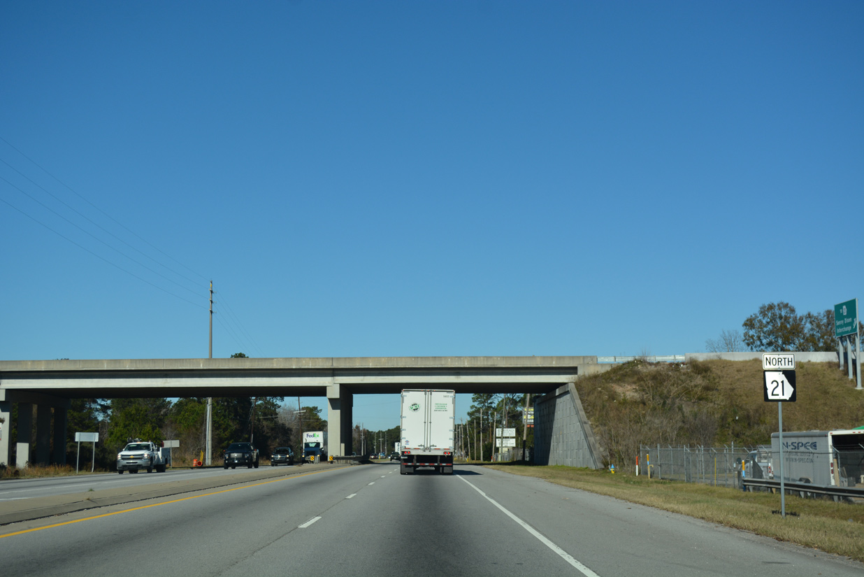
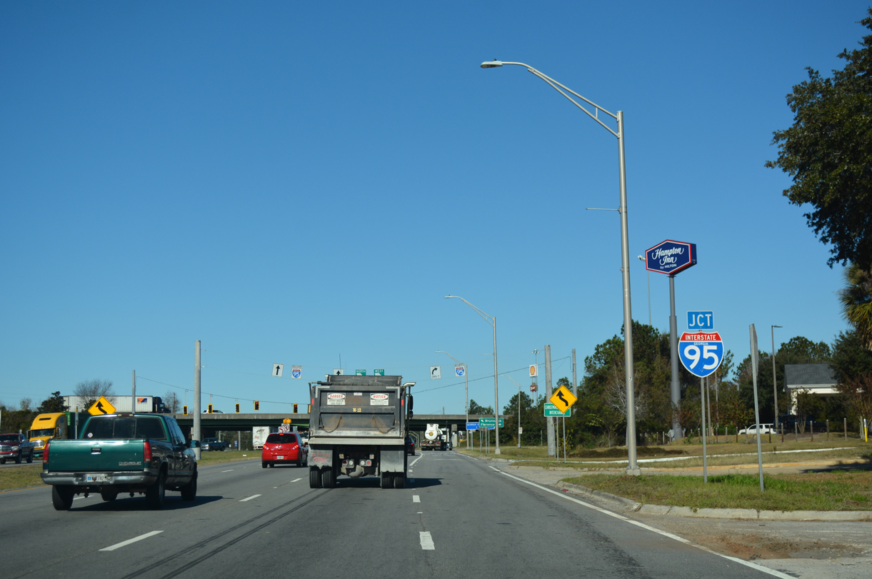
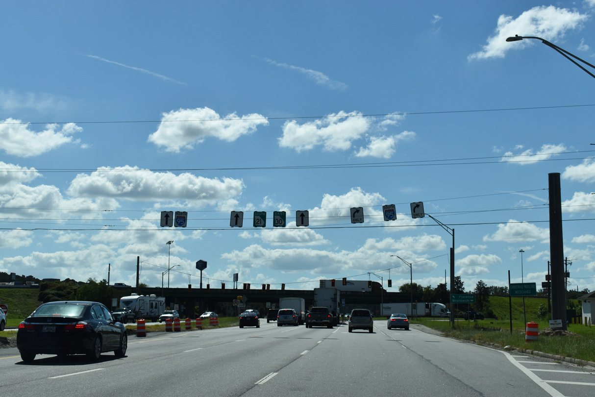
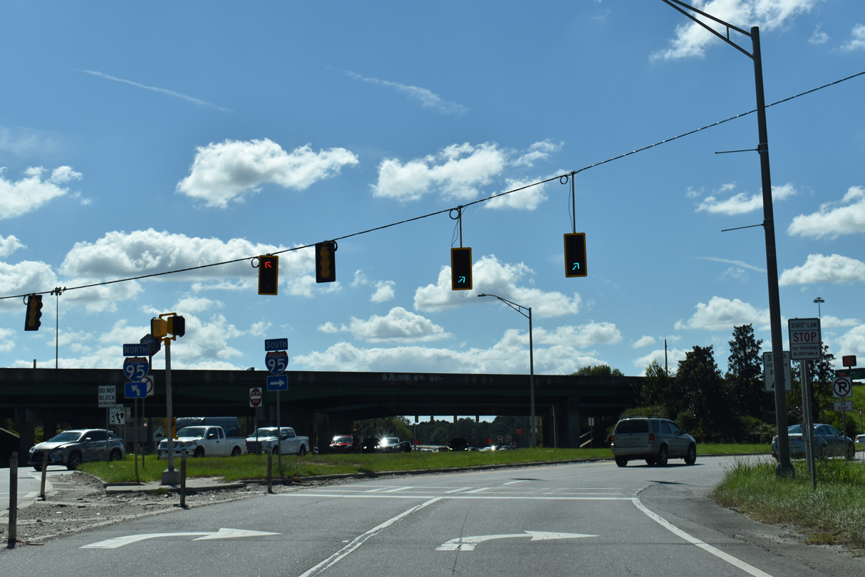
| SR 21/30 (Augusta Road) enter the diverging diamond interchange (DDI) with Interstate 95. 12/13/17 |
|
| Interstate 95 generally stays west of Savannah through suburban areas of Port Wentworth and Pooler south to Interstate 16 and north to Hardeeville, South Carolina. 12/13/17 |
|
| Work to convert the I-95 exchange with SR 21/30 into a DDI wrapped up in January 2017 after two years of construction. I-95 crosses the Savannah River to the northeast en route to Florence, South Carolina. 12/13/17 |
|
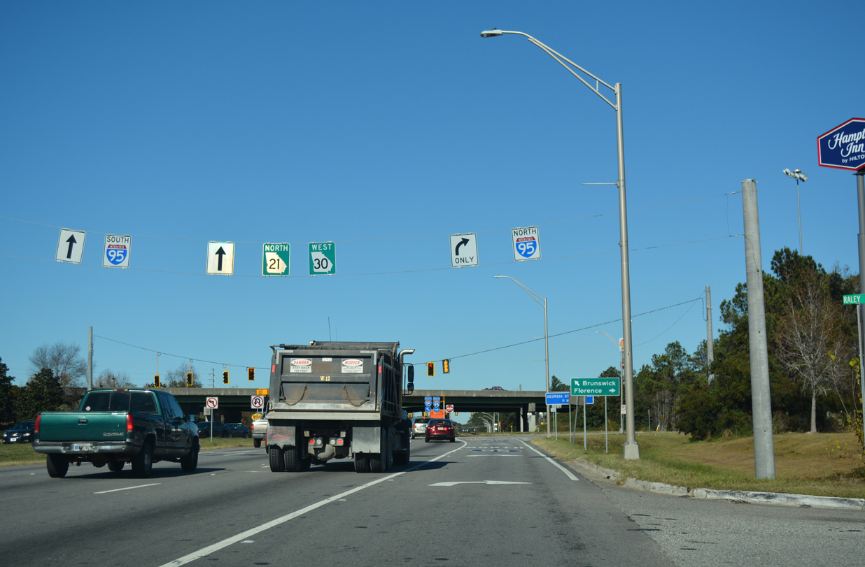
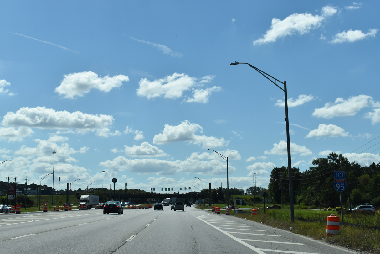
| SR 21/30 (Augusta Road) combine 0.4 miles north of a DDI (Exit 109) with Interstate 95. 09/25/22 |
|
| The exchange joining SR 21/30 with I-95 was reconfigured into a diverging diamond interchange (DDI) by January 2017. 09/25/22 |
|
| Interstate 95 heads northeast to Hardeeville, South Carolina from SR 21/30 (Augusta Road) in Port Wentworth. 09/25/22 |
|
| Interstate 95 passes through Port Wentworth south to western reaches of Savannah to Pooler en route to Brunswick. 09/25/22 |
|
| Span wire signs for SR 21/30 posted between I-95 and O'Leary Road. Construction for the DDI at Interstate 95 included the addition of a third southbound lane along Augusta Road south to Hendley Road. 05/29/07 |
|
| O'Leary Road forms an east side frontage road for I-95, serving an array of hotels and industrial businesses nearby. 05/29/07 |
|
| International Trade Parkway stems northeast from Augusta Road to a number of distribution centers. 05/29/07 |
|
| Reassurance markers for SR 21/30 posted after Pinderpoint Road along Augusta Road south. 05/29/07 |
|
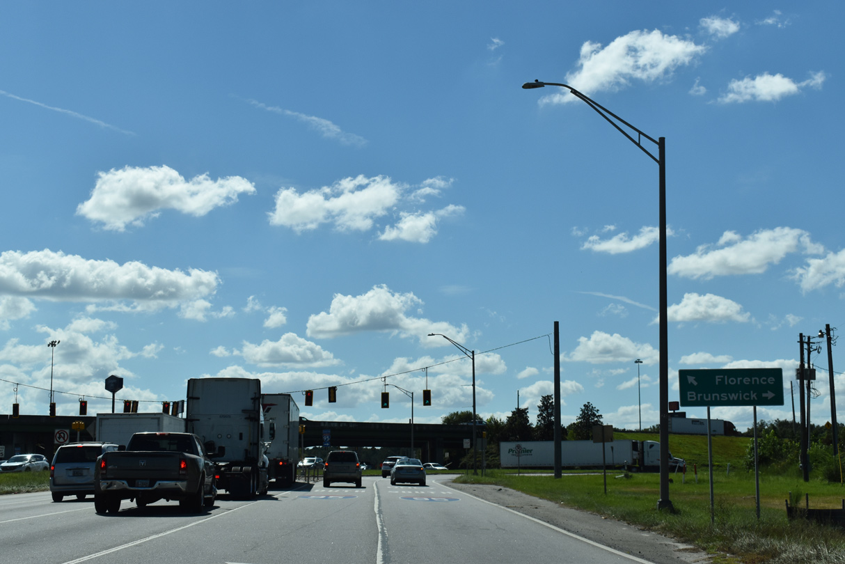
| SR 17 (Jimmy DeLoach Parkway) spans Augusta Road without direct access due to the adjacent CSX Railroad line. The controlled access arterial connects the Georgia Port Authority (GPA) - Garden City Terminal with I-95 and U.S. 80 at Bloomingdale. 05/29/07 |
|
| SR 17/21 ALT follow an access road linking SR 21/30 with an adjacent diamond interchange along Jimmy DeLoach Parkway. Collectively the road complex is designated the Sonny Dixon Interchange. 05/29/07 |
|
| Prior to May 27, 2016, Jimmy DeLoach Parkway (SR 17) ended at the Sonny Dixon Interchange. Following a ribbon cutton ceremony that morning, a 3.1 mile extension of the parkway (SR 21 Alternate) opened south to SR 307.2 05/29/07 |
|
| The 3.26 mile long overlap between SR 21 and SR 30 east concludes at Bonnybridge Road. 05/29/07 |
|
| Bonnybridge Road leads SR 30 east 0.94 miles to SR 25 (Coastal Highway) in north Port Wentworth. 05/29/07 |
|
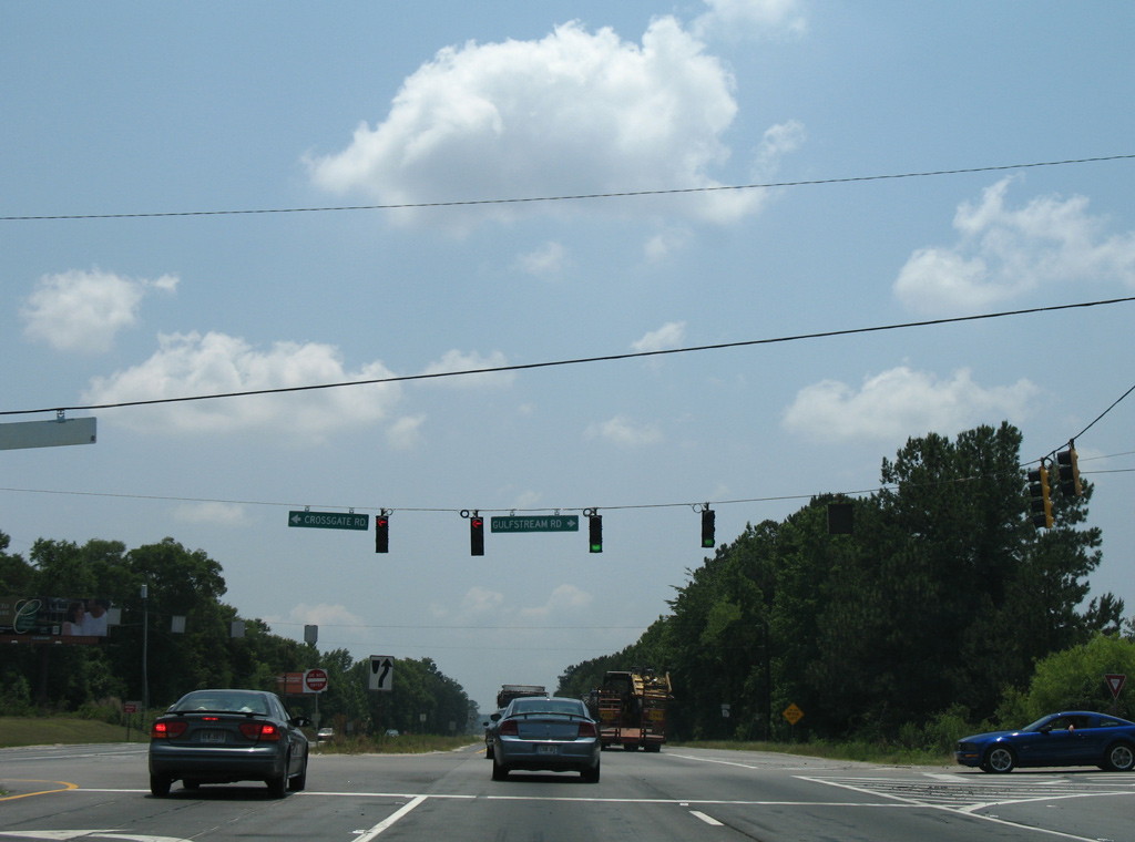
| Gulfstream Road east and Crossgate Road west come together at the succeeding signal southbound after SR 30. Gulfstream Road heads west to cargo areas of Savannah / Hilton Head International Airport (SAV). Crossgate Road extends the road east into the Port Wentworth street grid. 05/29/07 |
|
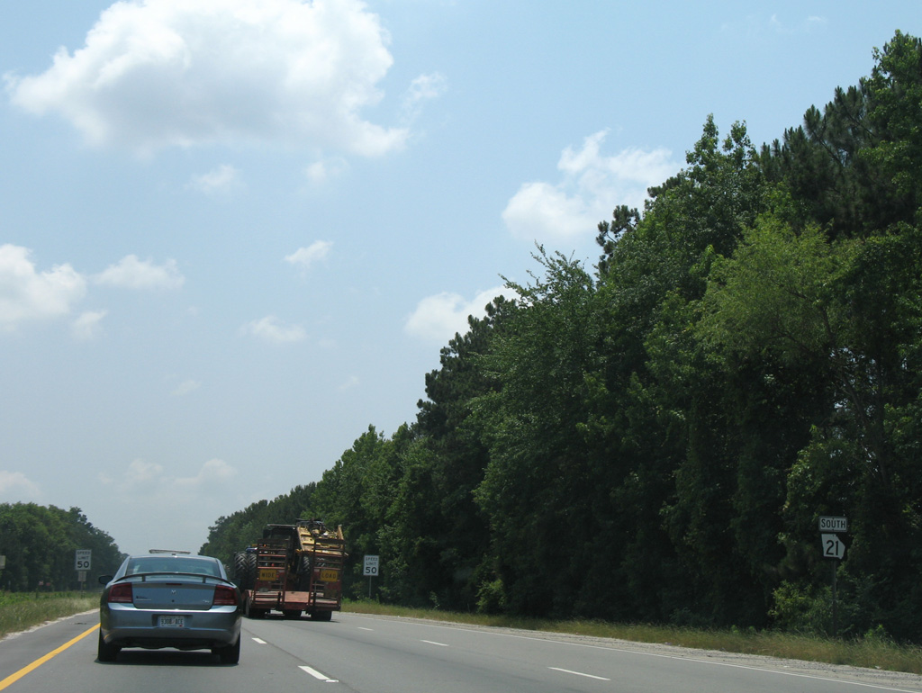
| SR 21 reassurance marker south of Crossgate and Gulfstream Roads. 05/29/07 |
|
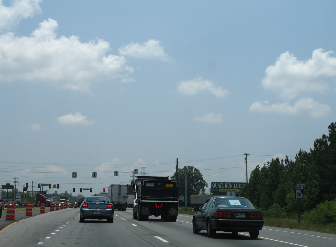
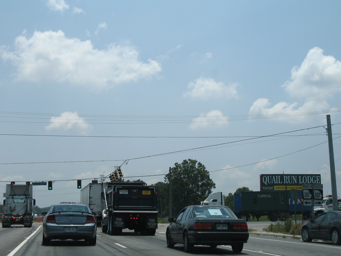
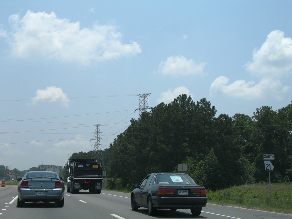
| Grange Road links SR 21 (Augusta Road) with SR 21 Alternate (Jimmy DeLoach Parkway) next. Beyond that intersection, SR 21 approaches SR 307 (Bourne Avenue / Dean Forest Road). 05/29/07 |
|
| SR 307 joins the GPA Garden City Terminal with SAV International Airport and Interstate 16. The state route travels 8.5 miles between Garden City and Pooler. 05/29/07 |
|
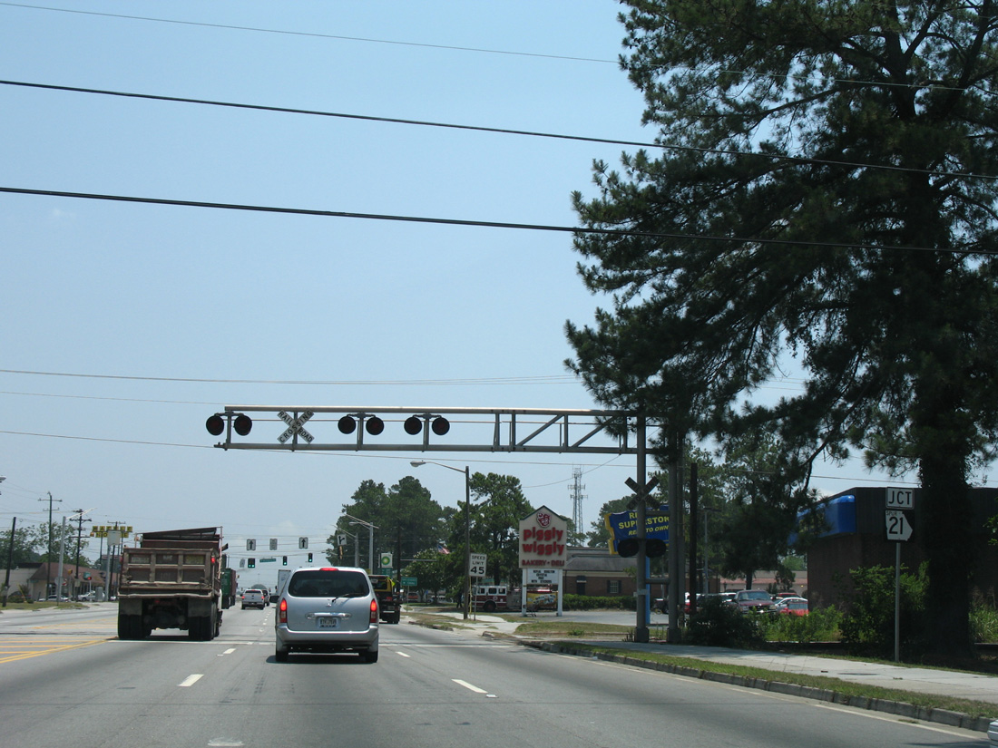
| Advancing south from SR 307, SR 21 (Augusta Road) formerly enters the city limits for Garden City. 05/29/07 |
|
| SR 21 Spur provides an additional truck route from Augusta Road to the GPA - Garden City Terminal. SR 21SP lines Brampton Road for 1.22 miles. 05/29/07 |
|
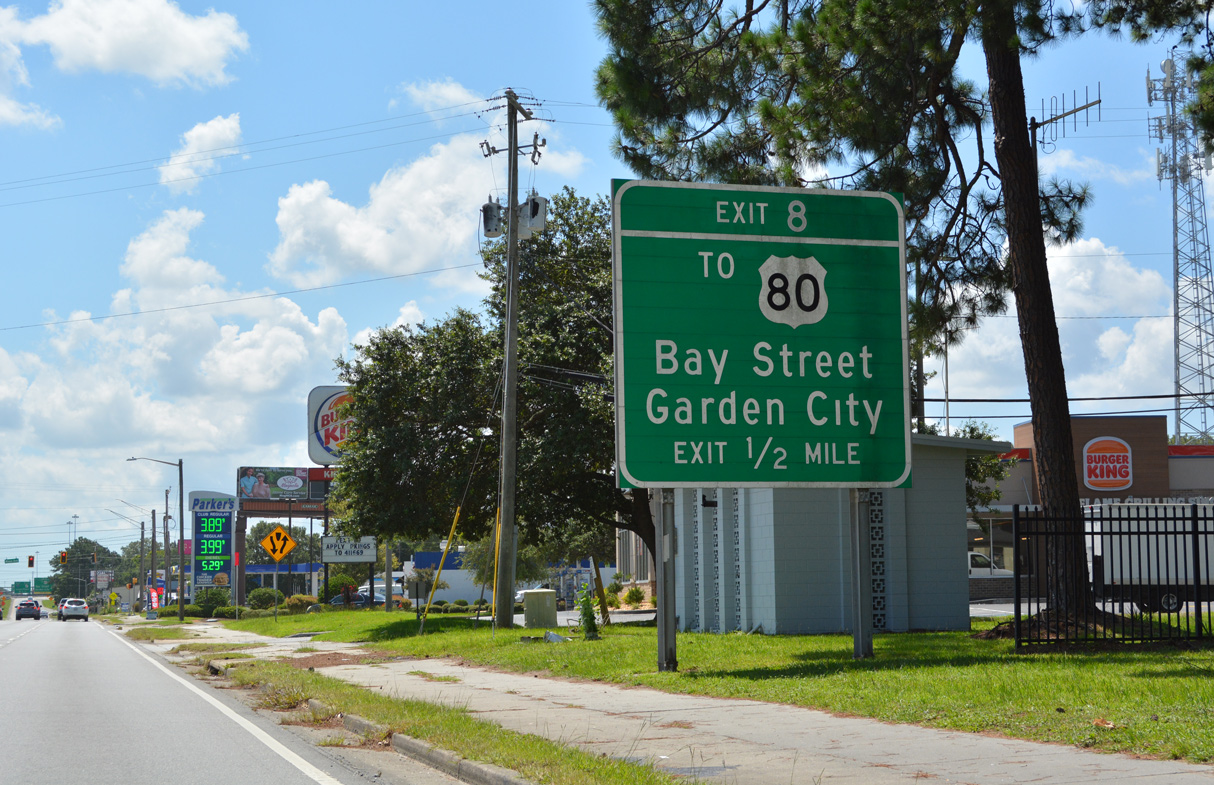
| A guide sign precedes the signalized intersection with Minus Avenue for I-516 east at Exit 8. SR 21 accompanies I-516 along William F. Lynes Parkway south from Garden City to DeRenne Avenue in Savannah. Exit 8 links the freeway with SR 26 Connector to both U.S. 80 (Bay Street) and SR 25 (Main Street). 07/25/22 |
|
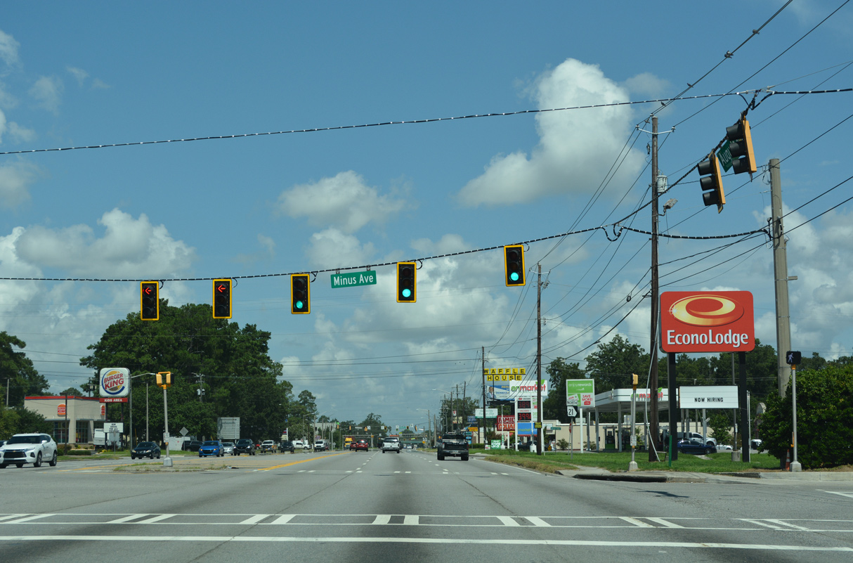
| Minus Avenue spurs south to an industrial and mobile home park and north to a shopping center and SR 25 (Main Street). 07/25/22 |
|
| Beyond Minus Avenue, right in right out (RIRO) intersections tie into SR 21 south from Leon Village Drive and Oak Street. I-516 east begins after Oak Street. 05/29/07 |
|
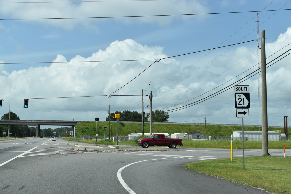
| SR 21 southbound transitions from Interstate 516 (W.F. Lynes Parkway) onto DeRenne Avenue at the signalized intersection with Montgomery Street. The last reassurance shield for the state route follows. 07/25/22 |
|
| DeRenne Avenue east at White Bluff Road south and Bull Street north. Retail lines both sizes of the often congested six lane arterial along this stretch. 07/25/22 |
|
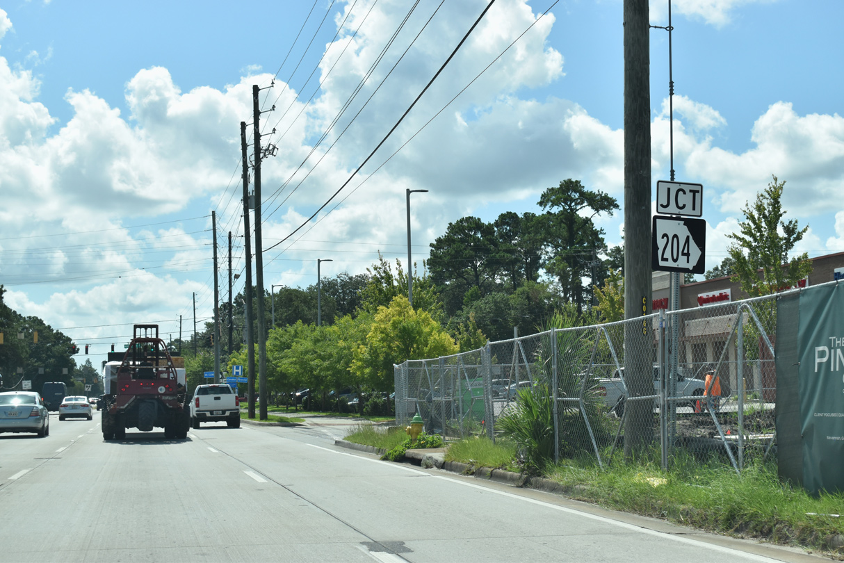
| The forthcoming junction with SR 204 (Abercorn Street) is one of the busiest intersections in the Savannah area. Abercorn Street south comprises a major commercial arterial, linking Downtown Savannah with Southside. 07/25/22 |
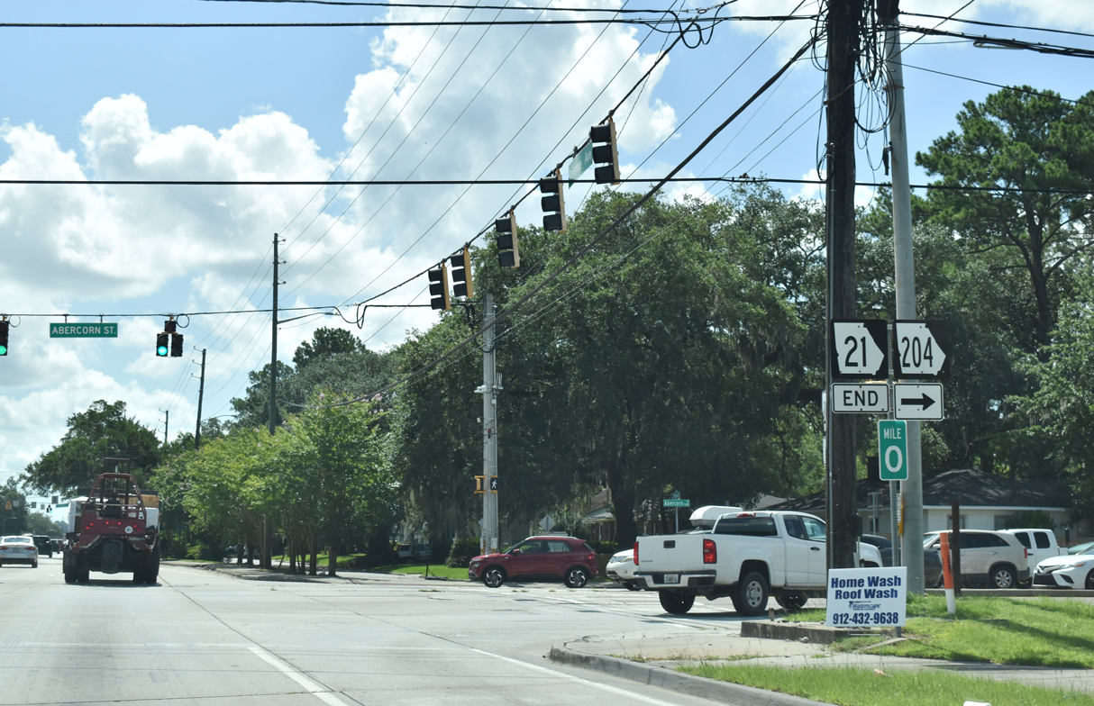
|
| SR 21 ends at SR 204 (Abercorn Street). SR 204 forms a loop south from Midtown Savannah to Oglethorpe Mall and west across Southside Savannah to I-95 near Richmond Hill. 07/25/22 |
|
| DeRenne Avenue extends east from SR 204 (Abercorn Street) as an unnumbered arterial to Truman Parkway and the Forest Hills and Magnolia Park communities. 07/25/22 |
|
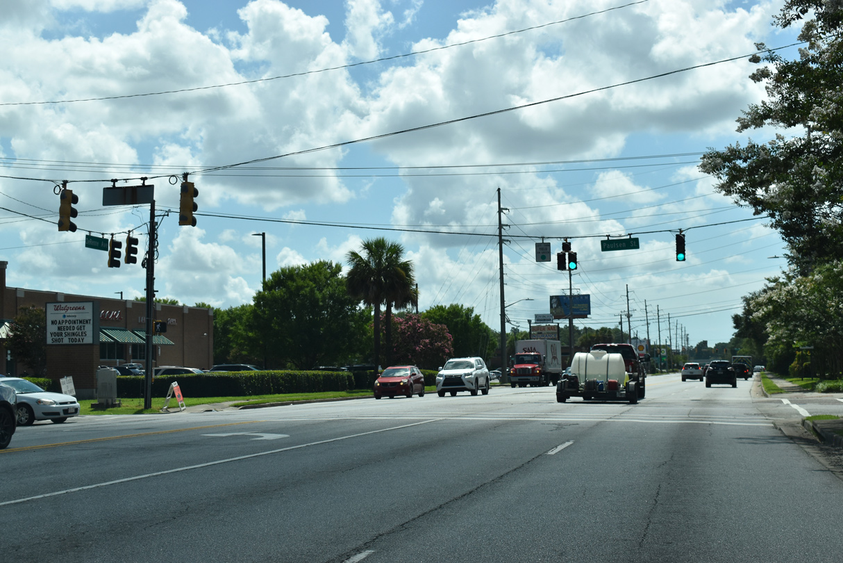
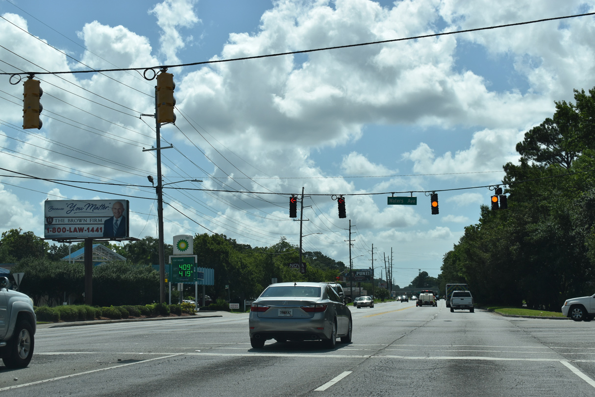
| Waters Avenue is a minor arterial north to Midtown Savannah and south to Whitefield Avenue. 07/25/22 |
|
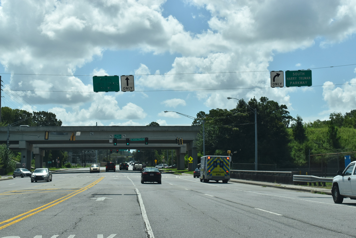
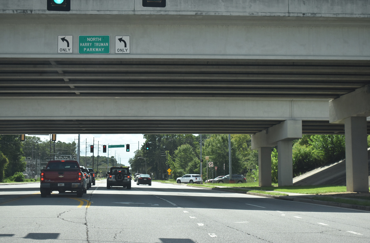
| DeRenne Avenue proceeds east from Waters Avenue to a diamond interchange with Harry Truman Parkway. 07/25/22 |
|
| A limited access freeway, Harry Truman Parkway weaves through neighborhoods in east Savannah north to President Street and south to SR 204 (Abercorn Street) at South Side Savannah. 07/25/22 |
Sources:
- "UPDATE: Highway 21 Diverging Diamond Interchange Now Open." WSAV (Savannah, GA), January 15, 2017.
- "Gov. Deal cuts ribbon to open Jimmy DeLoach Connector." BusinessinSavannah.com, May 27, 2016.
- 05/29/05 by AARoads and Carter Buchanan.
- 05/29/07 by AARoads.
- 09/22/14 by AARoads.
- 12/13/17 by AARoads.
- 08/28/21 by AARoads.
- 07/25/22 by AARoads and JP Nasiatka.
- 09/25/22 by AARoads.
Connect with:
Interstate 16
Interstate 95
Interstate 516 - W.F. Lynes Parkway
U.S. 301
Jimmy Deloach Parkway - SR 17 / SR 21 ALT
State Route 30
State Route 204
State Route 307
Page Updated 11-29-2022.

 North
North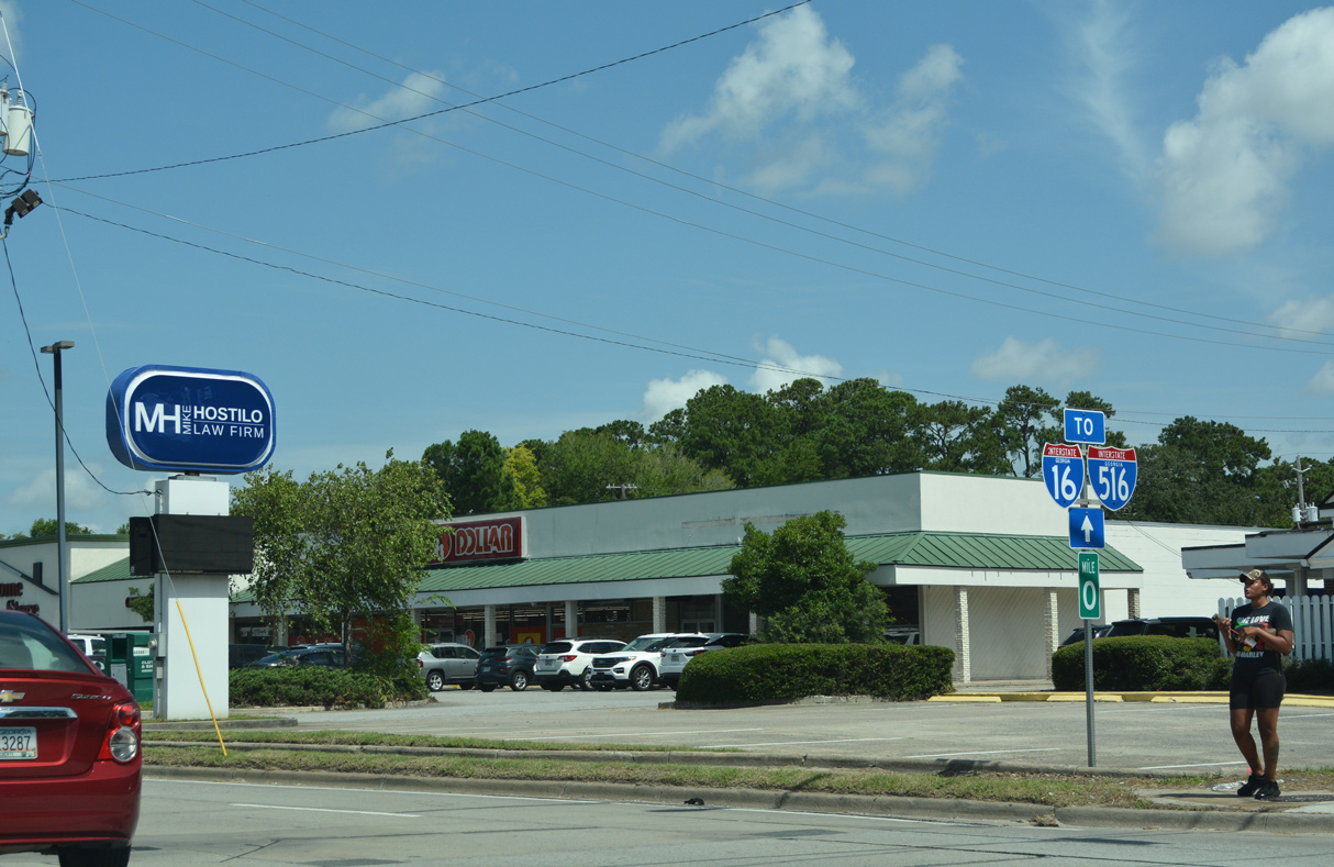
 West
West