SR 25 Connector in Savannah links I-516, U.S. 80 and SR 21-25-26 with Historic Downtown Savannah and U.S. 17/SR 404 Spur on the Talmadge Bridge approach. 3.12 miles in length, SR 25CO follows a hook shaped alignment east from I-516 along Bay Street, south along Martin Luther King, Jr. Boulevard and west on Oglethorpe Avenue. Cardinal directions along the route are counter intuitive, with northbound actually traveling east and south and vice versa.
The state route was formed to provide connectivity from the Talmadge Bridge east into Downtown, and U.S. 17 with its former alignment along SR 25 north through Garden City.
|
| This confirming marker for SR 25 Connector east formerly stood along the loop ramp from U.S. 17/SR 404 Spur south to Oglethorpe Avenue. It was removed by 2013. 03/15/10 |
|
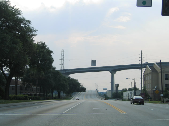
| SR 25 Connector spans Springfield Canal ahead of Oglethorpe Avenue east at Boundary Street. 05/29/05 |
|
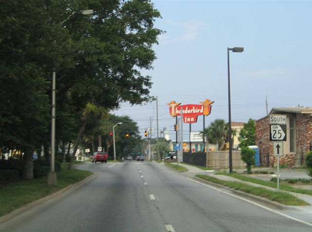
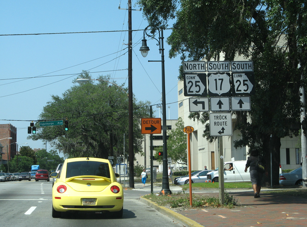
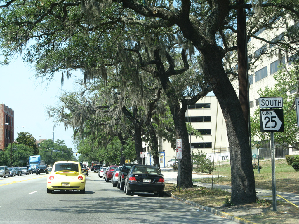
| Oglethorpe Avenue comprises a tree lined lane boulevard east from the ramps with U.S. 17 at Boundary Street. Since removed, a trailblazer for SR 25CO preceded Fahm Street. 05/29/05 |
|
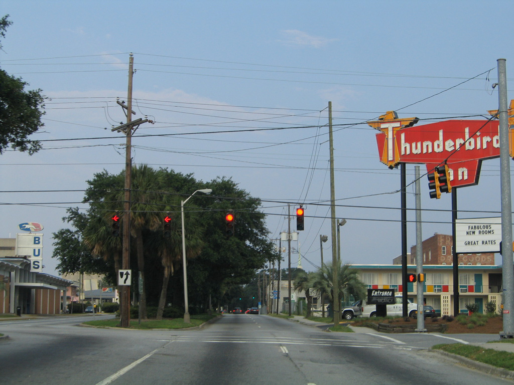
| Oglethorpe Avenue east at Fahm Street by the Savannah Greyhound Bus Terminal. 05/29/05 |
|
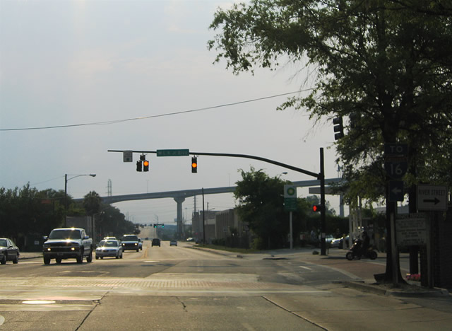
| SR 25CO makes a northerly turn onto Dr. Martin Luther King Jr. Boulevard. Traffic to both I-16 and I-95 are directed southward onto MLK Boulevard to the entrance ramp for I-16 west. I-16 links Savannah with I-95 at Pooler. 03/14/10 |
|
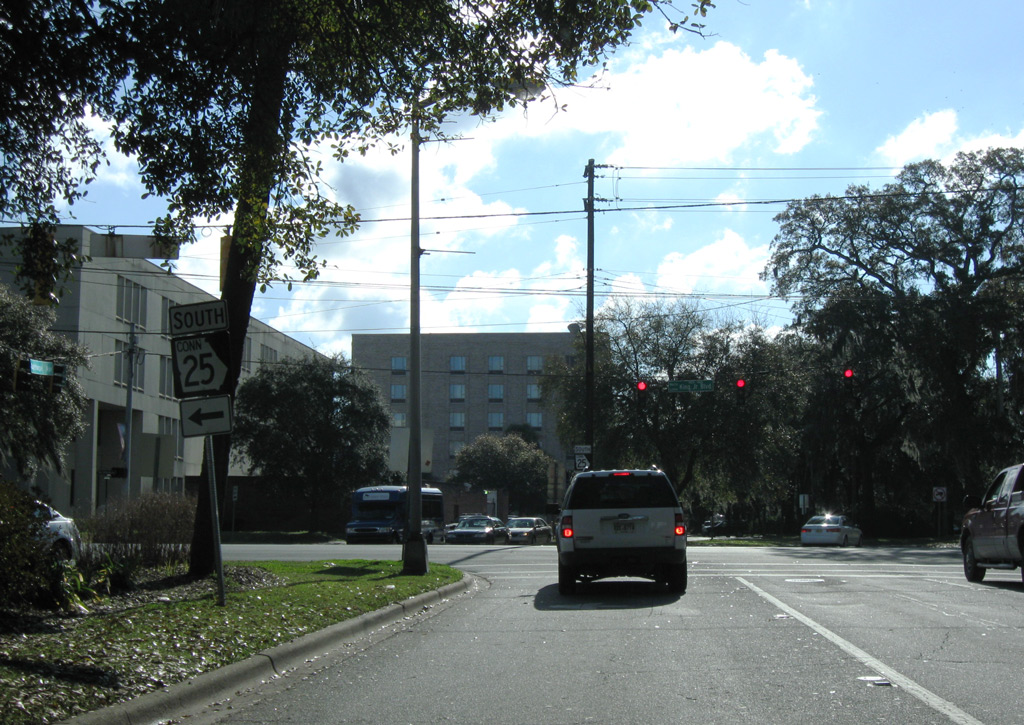
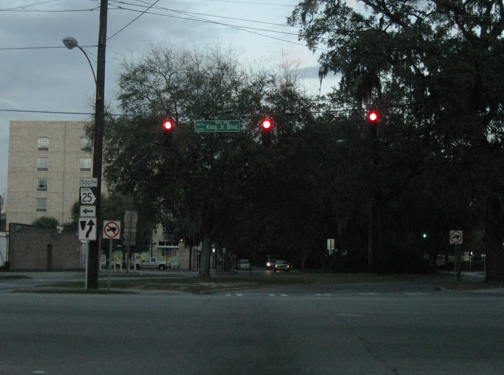
| SR 25 Connector southbound follows Martin Luther King, Jr. Boulevard north from Oglethorpe Avenue to Bay Street. Oglethorpe Avenue extends east through the Central Historic District of Savannah. 03/15/10, 03/14/10 |
|
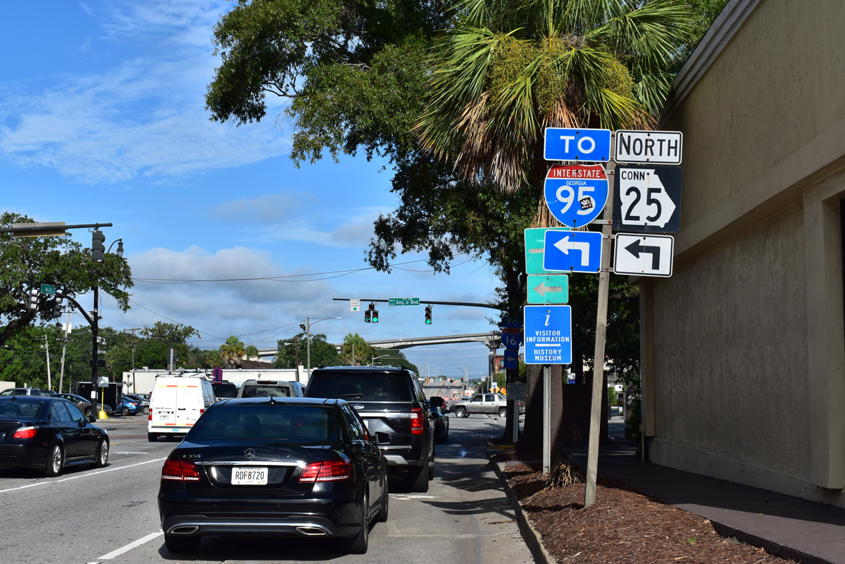
| Martin Luther King, Jr. Boulevard north at Oglethorpe Avenue. SR 25 Connector northbound leads directly to U.S. 17 north across the Talmadge Bridge. The south trailblazer for U.S. 17 alludes to the remainder of the connector north and west to Garden City. 05/29/07 |
|
| This reassurance marker for SR 25 Connector stands to the immediate north of Oglethorpe Avenue. Martin Luther King, Jr. Boulevard lines the west side of the Chatham County Courthouse over the ensuing block. 05/29/07 |
|
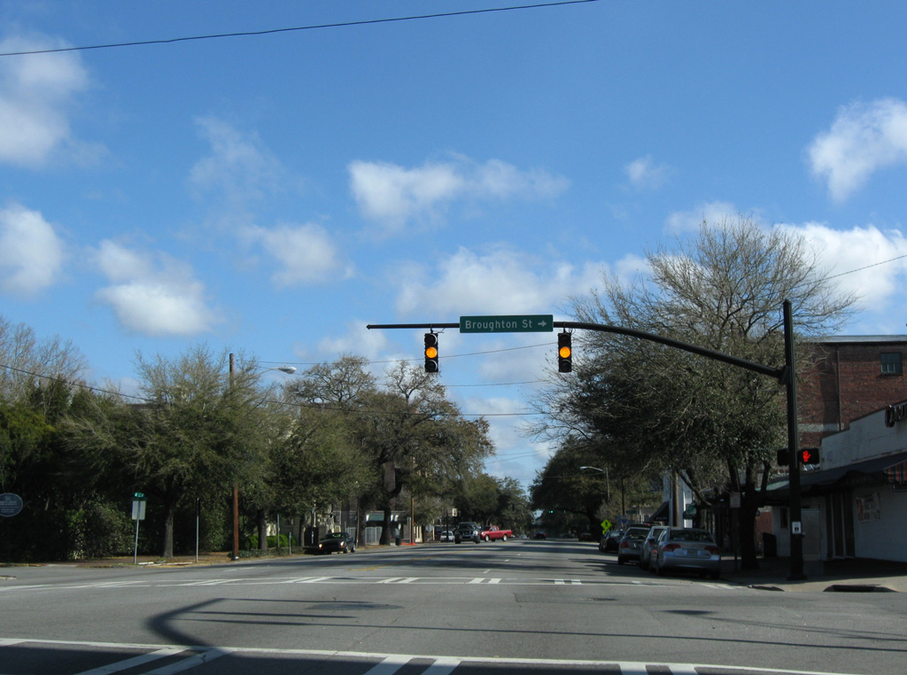
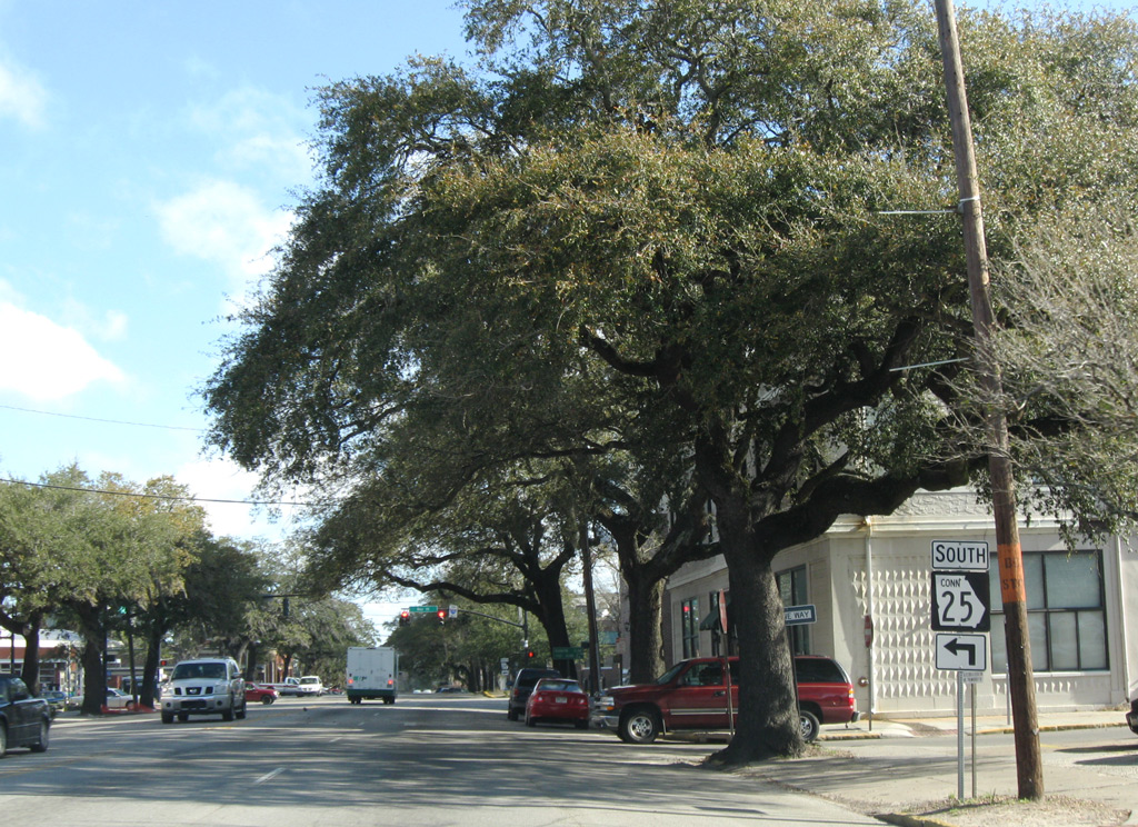
| Broughton Street intersects Martin Luther King, Jr. Boulevard west from the NW Historic District. 03/15/10 |
|
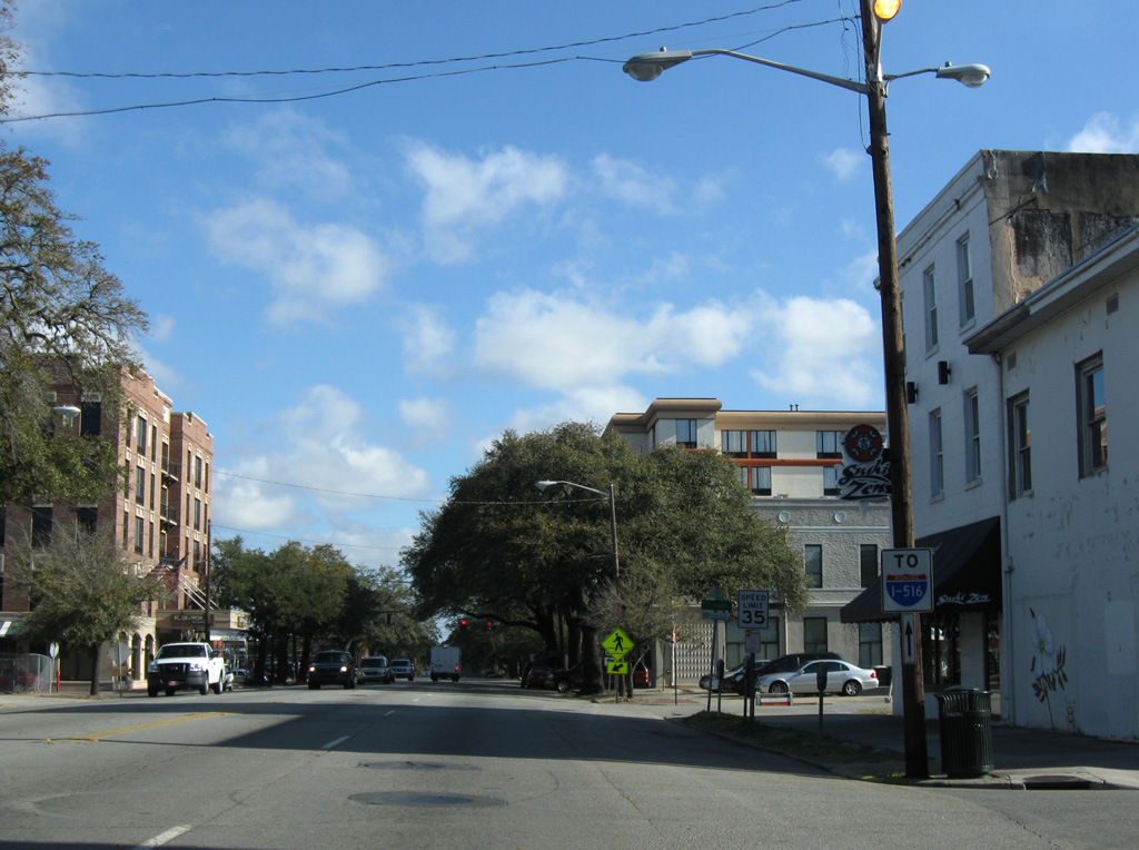
| A city installed trailblazer for Interstate 516 appears along SR 25 Connector north at Congress Street. 03/15/10 |
|
| SR 25 Connector continues westward from Martin Luther King, Jr. Boulevard along Bay Street toward Garden City. Bay Street constitutes the main route east to Downtown and the Savannah Riverfront. 03/15/10 |
|
| Bay Street historically was a part of U.S. 80 west to Garden City and U.S. 80 Toll east from Downtown Savannah to Wilmington Island along the Islands Expressway. 03/15/10 |
|
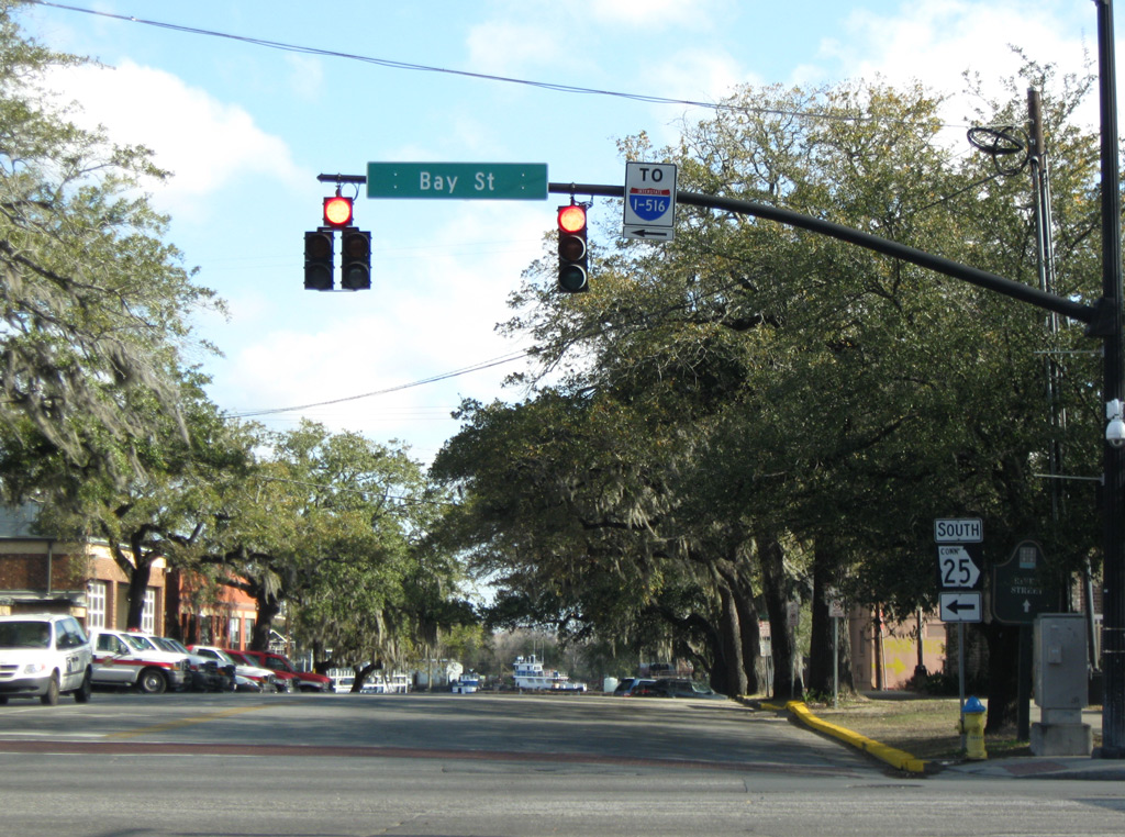
| Bay Street leaves Downtown Savannah and intersects SR 25CO at Martin Luther King, Jr. Boulevard. 08/19/19 |
|
| MLK Boulevard south carries the northbound direction of SR 25CO to Oglethorpe Avenue and splits with the entrance ramp for I-16 in 0.6 miles. 05/29/05 |
|
| SR 25 Connector (Bay Street) separates industrial areas along the Savannah Riverfront with the Yamacraw community on the stretch leading west from MLK Boulevard. 05/29/05 |
|
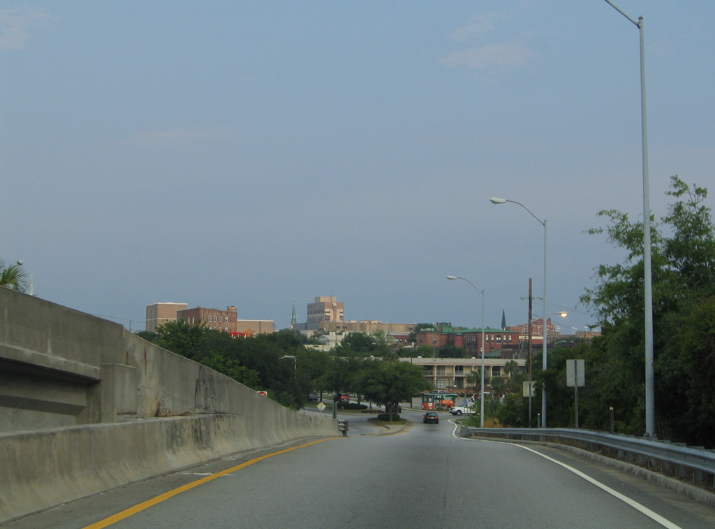
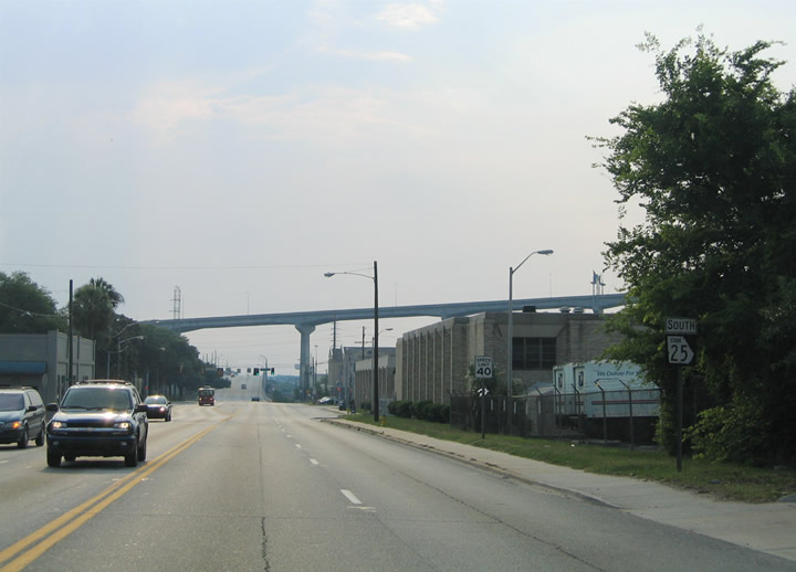
| The Talmadge Bridge carries U.S. 17 high above Bay Street beyond Fahm Street. SR 25 Connector ascends onto a viaduct crossing Springfield Canal and a series of CSX Railroad spurs to the GPA - Ocean Terminal on the succeeding stretch. 05/29/05 |
|
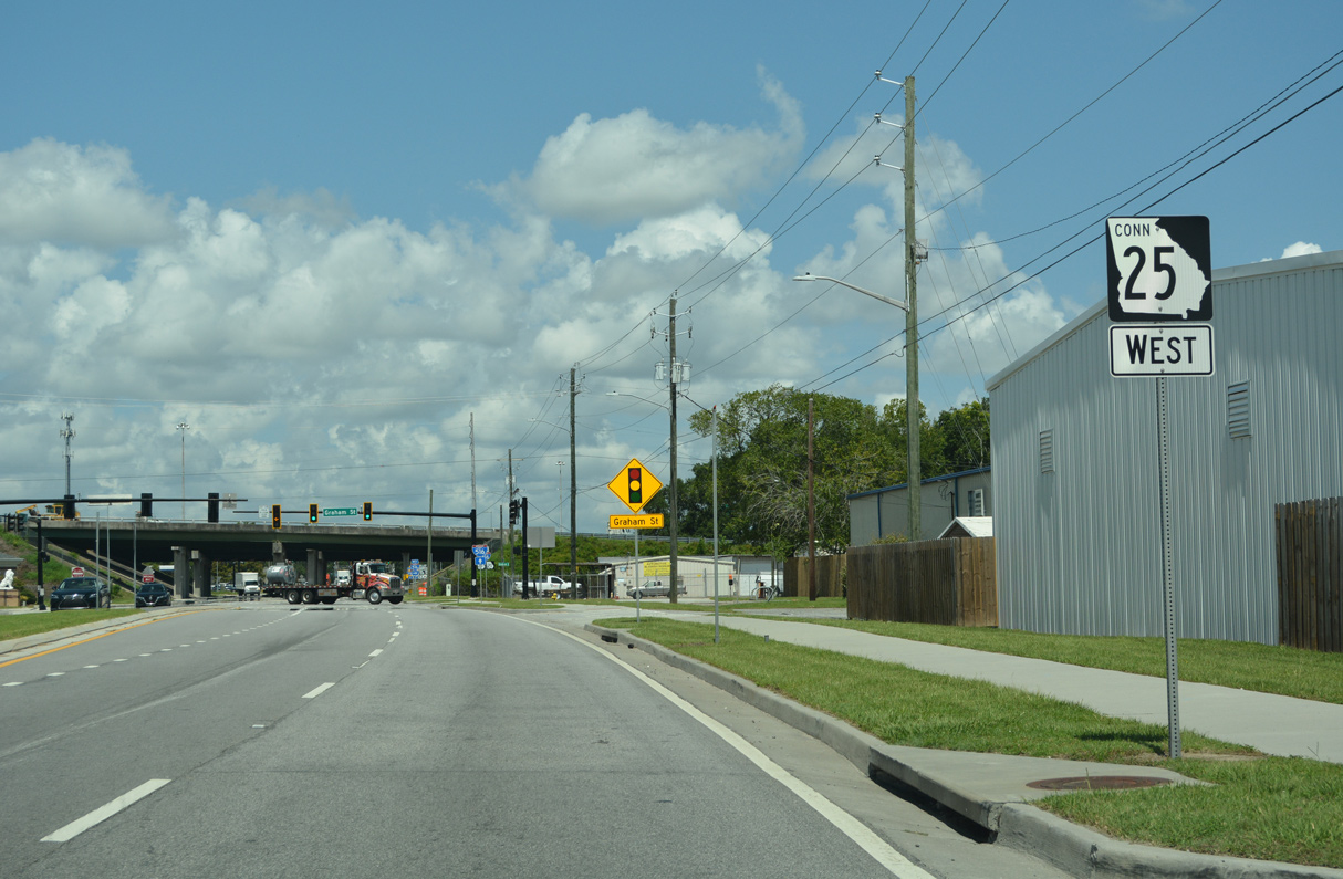
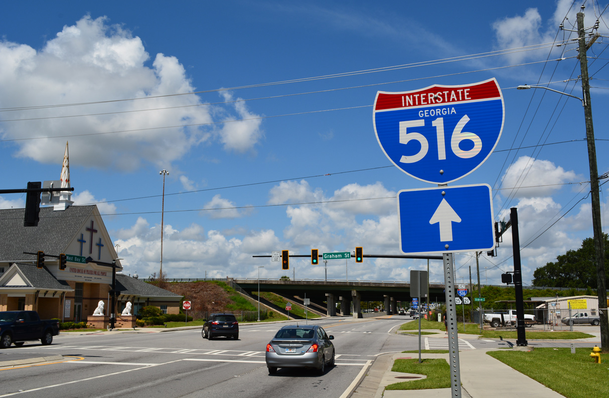
| SR 25CO reassurance marker posted along W Bay Street ahead of Graham Street. 07/25/22 |
|
| Bay Street advances west as a four lane boulevard through the Clearview, Hudson Hill and West Savannah communities to intersect Graham Street just ahead of Interstate 516. 07/25/22 |
|
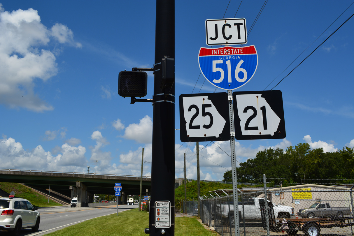
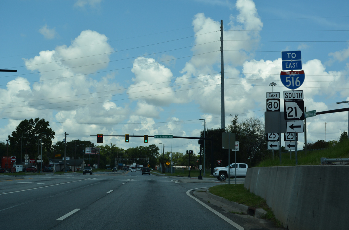
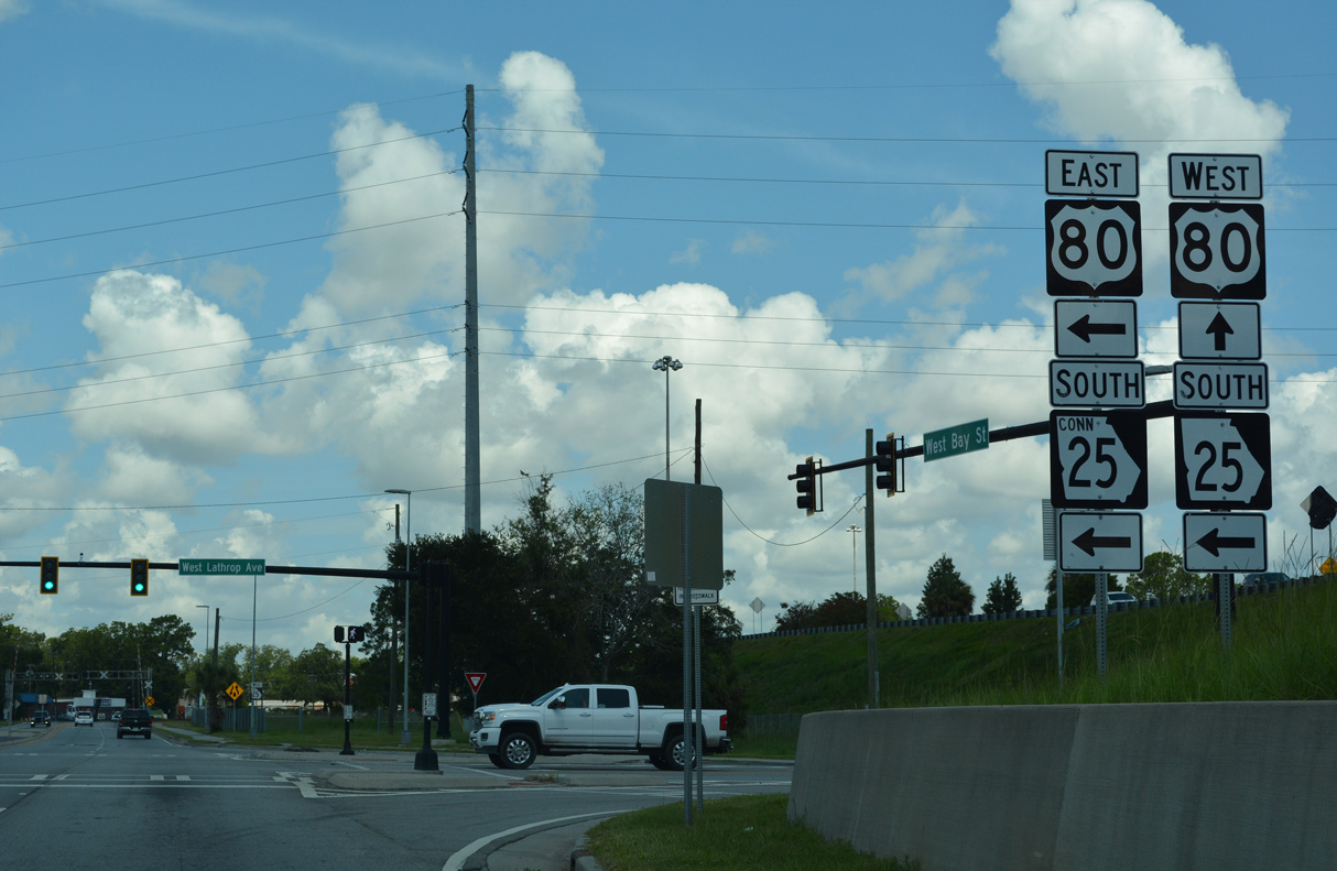
| SR 25CO (Bay Street) passes under I-516/SR 21-25 (W.F. Lynes Parkway) ahead of Lathrop Avenue. 07/25/22 |
|
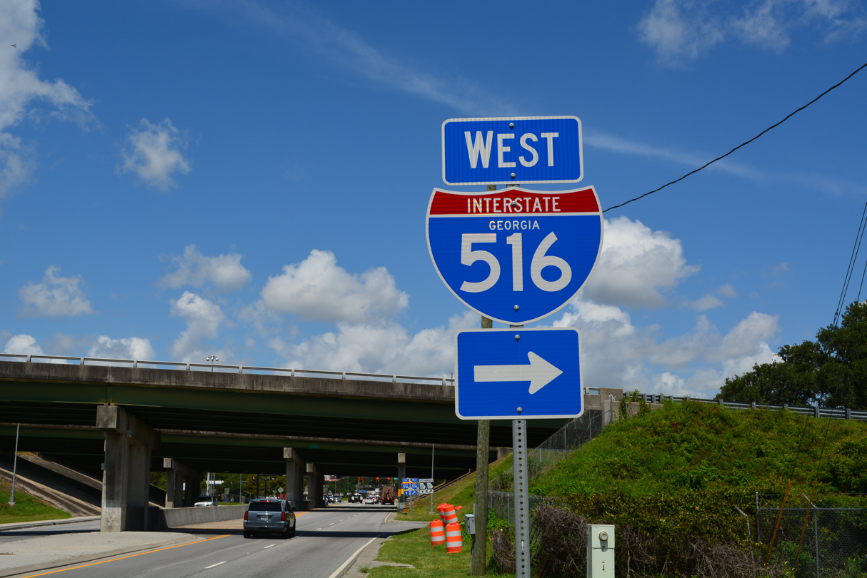
| A direct ramp links Bay Street westbound with I-516 west / SR 21 north to Garden City. 07/25/22 |
|
| SR 25CO turns south at Lathrop Avenue to connect with U.S. 80/SR 26 (Augusta Avenue) east to I-516/SR 21 east. 07/25/22 |
|
| U.S. 80/SR 26 overtake the final segment of Bay Street west from SR 25CO to Main Street at Garden City. 07/25/22 |
|
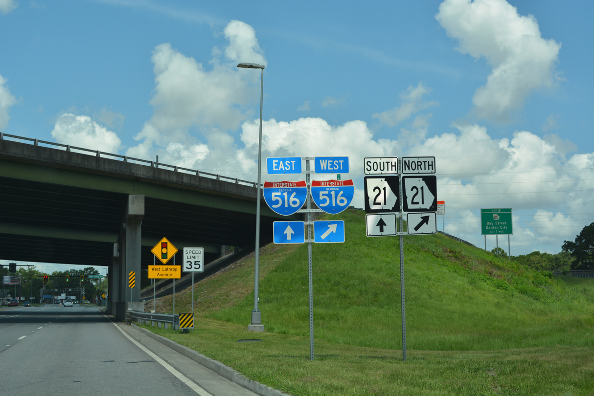
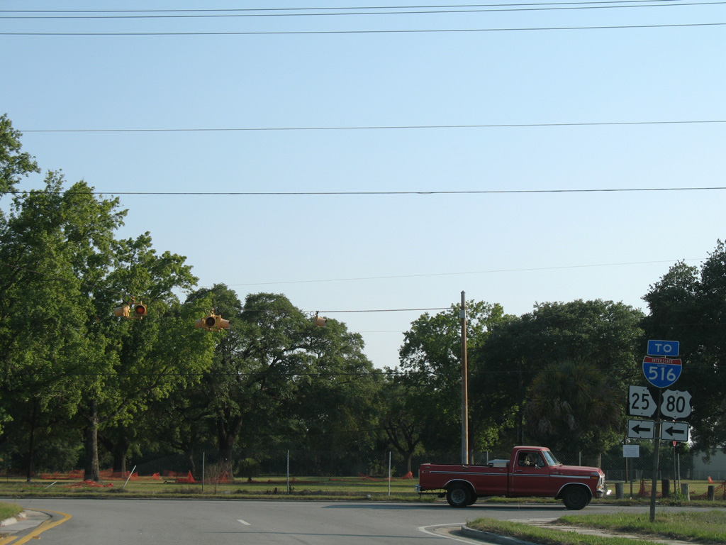
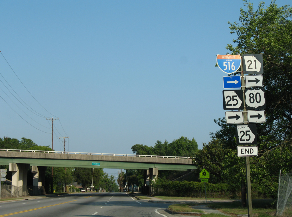
| SR 25 Connector loops south and then east, combining with U.S. 80/SR 26 to complete the route to I-516 eastbound. 05/29/07 |
|
| An end shield for SR 25CO stands at the half diamond interchange taking U.S. 80/SR 26 south onto I-516/SR 21 from Augusta Avenue. 05/29/07 |
|
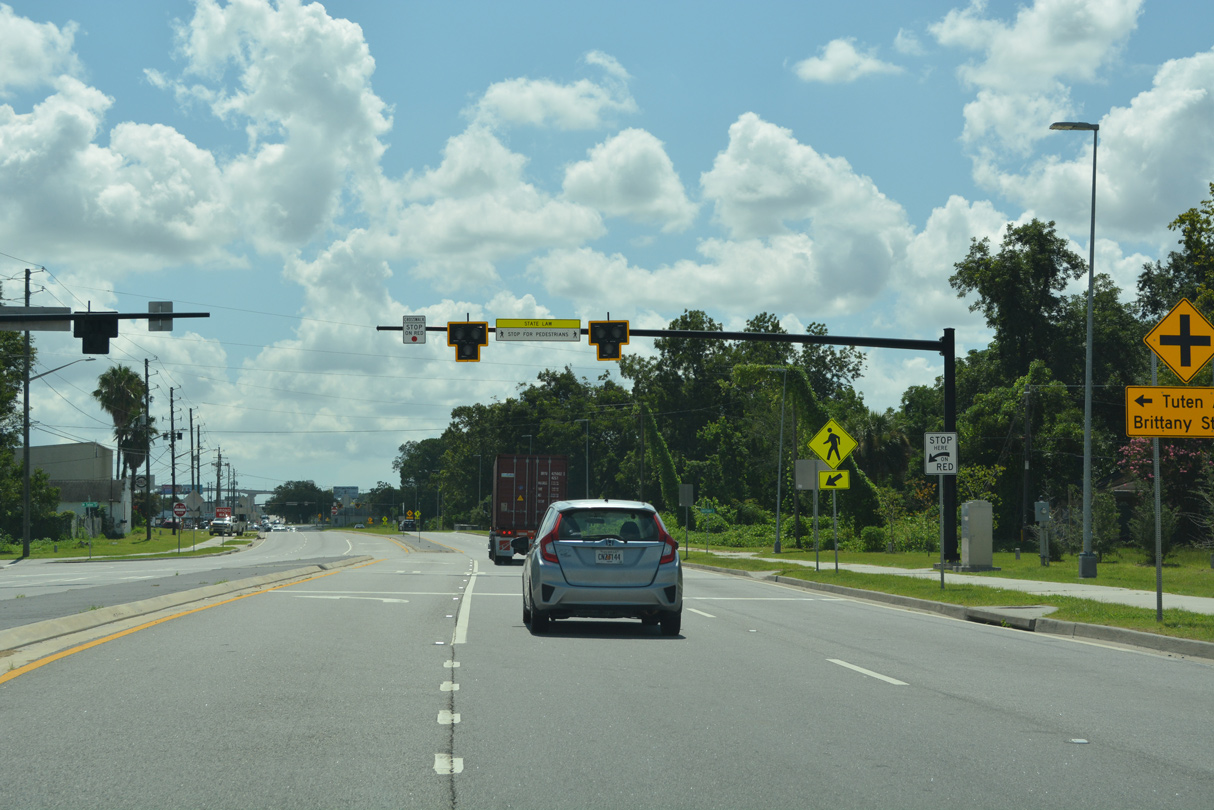
| HAWK pedestrian signals precede the intersection with Tuten Avenue north and Brittany Street south along SR 25CO (W Bay Street) between the Hudson Hill and West Savannah neighborhoods. 07/25/22 |
Page Updated 11-30-2022.


 South
South