Georgia State Route 30 stretches 229.58 miles across nearly the width of the Peach State from SR 41 near Draneville in Marion County to SR 25 (Coastal Highway) in the city of Port Wentworth. The bulk of SR 30, from Americus to U.S. 80 at Blitchton, overlaps with U.S. 280.
The western 19.13 miles of SR 30 run independent of U.S. 280 from Dranesville southeast to SR 153 at Friendship, Concord and U.S. 19/SR 3 in the city of Americus. SR 30 combines with U.S. 19/SR 3 south from Adderton Street to the couplet of Forsyth and Lamar Streets taking U.S. 280/SR 27-49 through Downtown Americus.
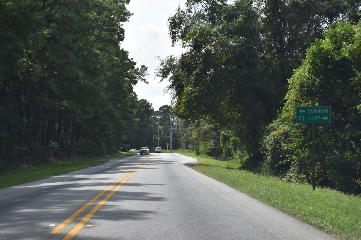
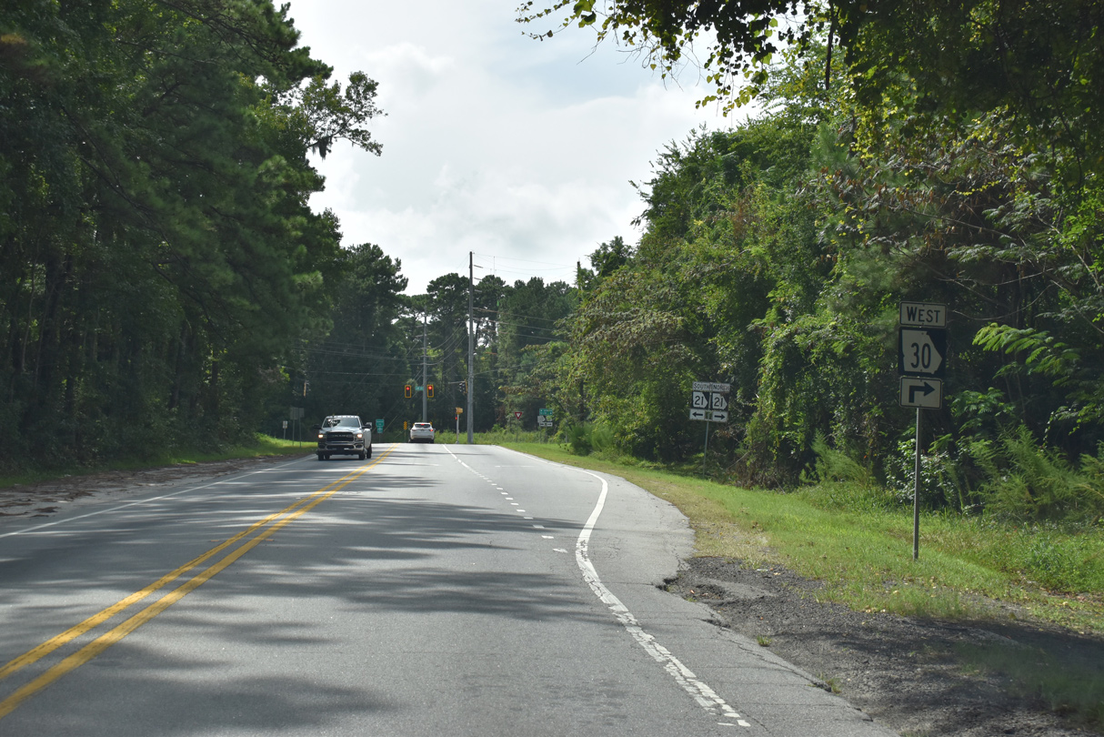
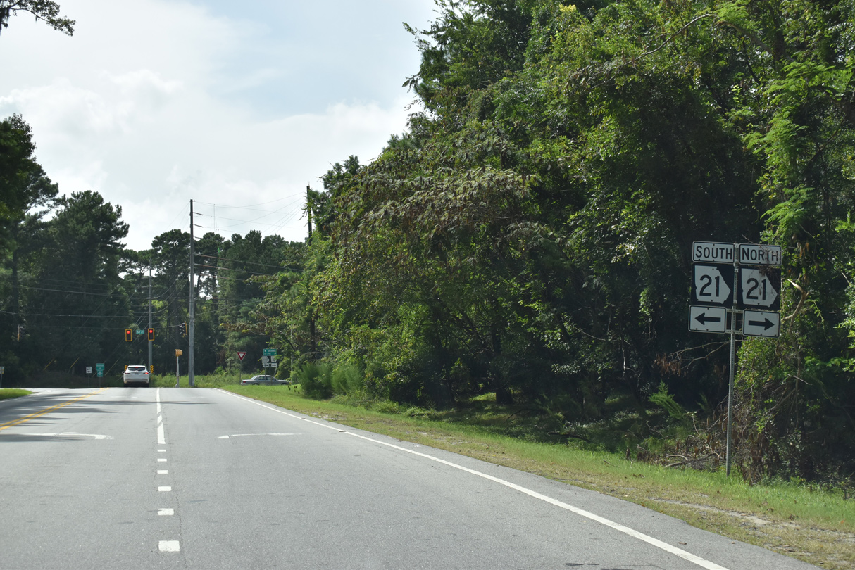
SR 30 extends 6.89 miles east from the end of U.S. 280 at Blitchton alongside U.S. 80 to SR 17 west of the Bloomingdale city limits. SR 30 dog legs north 5.82 miles on SR 17 before resuming an eastward heading to SR 21 (Augusta Road) in Port Wentworth. SR 21/30 overlap 3.26 miles south to Bonnybridge Road, which leads SR 30 east to SR 25.
|
| SR 30 combines with U.S. 19/SR 3 (Martin Luther King Boulevard) south toward Downtown Americus from Adderton Street east. U.S. 19/SR 3 head north to Ellaville and Butler. 03/15/10 |
|
| SR 30 commences westbound along Bonny Bridge Road from SR 25 (N Coastal Highway) in the city of Port Wentworth. 08/28/21 |
|
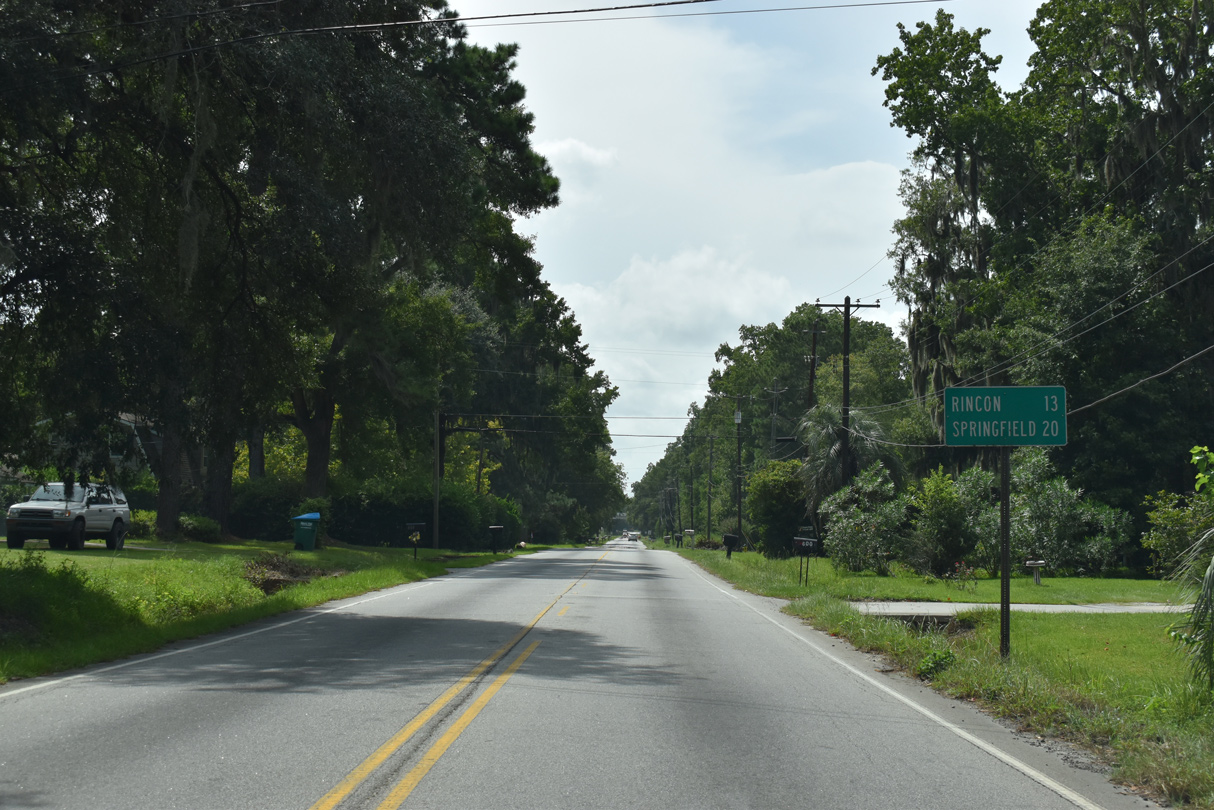
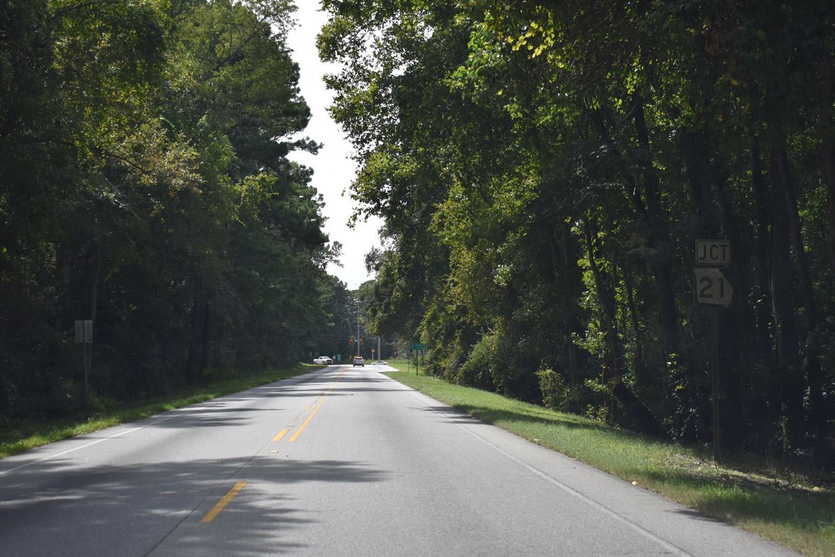
| Rincon and Springfield on the distance sign posted beyond Chiswick Street reference the connection with SR 21 north. 08/28/21 |
|
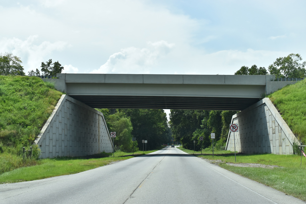
| SR 21 ALT (Jimmy Deloach Connector) spans SR 30 along a limited access route south to SR 307 (Bourne Avenue). 08/28/21 |
|
| SR 30 lines Bonnybridge Road west 0.94 miles to SR 21 (Augusta Road). 08/28/21 |
|
| SR 21 (Augusta Road) comprises a major arterial route south to Garden City and north to I-95 in Port Wentworth. 08/28/21 |
|
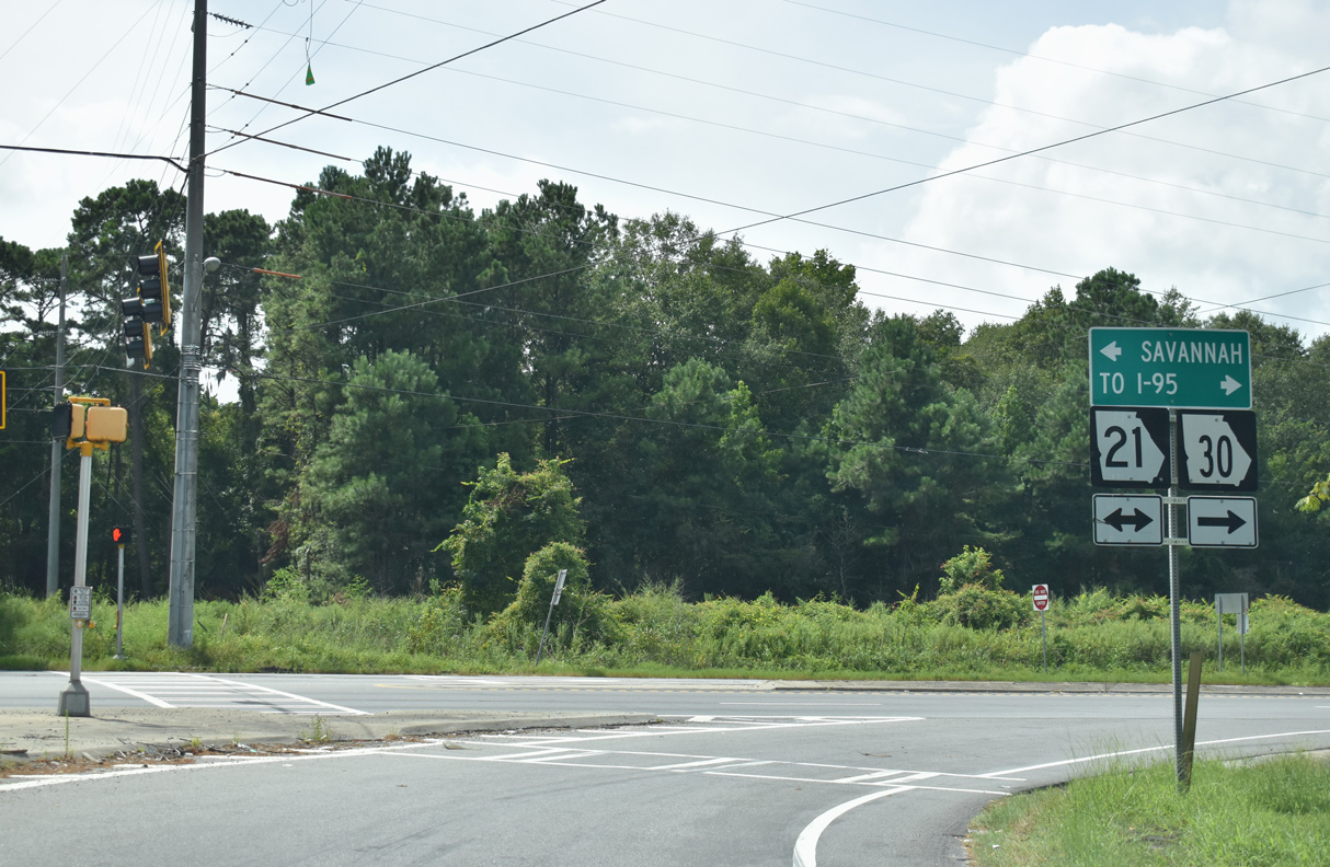
| SR 21/30 overlap 3.29 miles north to Piedmont Avenue in Port Wentworth. 08/28/21 |
|
| S.C. 21 extends 11.68 miles southeast to DeRenne Avenue at SR 204 (Aberncorn Street) near Midtown Savannah. 08/28/21 |
|
| SR 30 branches west from U.S. 19/SR 3 (Martin Luther King Boulevard) along Adderton Street in Americus. A confirming marker stands west ahead of Lafayette Street. 03/15/10 |
|
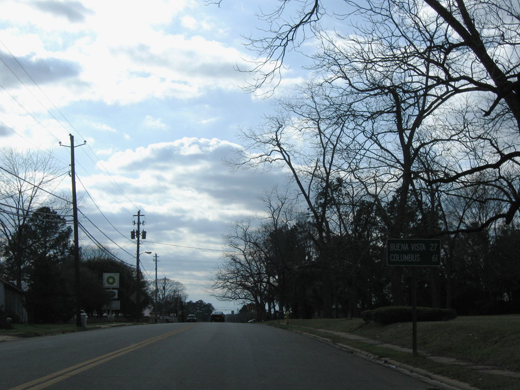
| The Marion County seat of Buena Vista lies north beyond the west end of SR 30 along SR 41, 27 miles from U.S. 19/SR 3 in Americus. 03/15/10 |
|
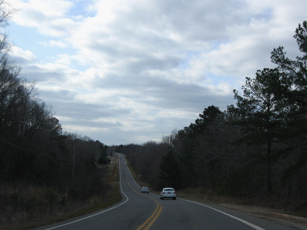
| SR 30 leaves the city of Americus west across Muckalee Creek. 03/15/10 |
|
| Northwest from Buchanan Road, SR 30 lowers 100 feet in elevation to cross Ninemile Branch. 03/15/10 |
|
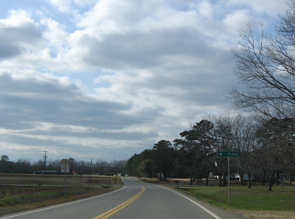
| SR 30 meets County Road 45 at the settlement of Concord. Formerly SR 45, Charley Hart Road / CR 45 runs 9.96 miles south from SR 153 in Schley County to U.S. 280/SR 27 at SR 45 (Broad Street) in Plains. 03/15/10 |
|
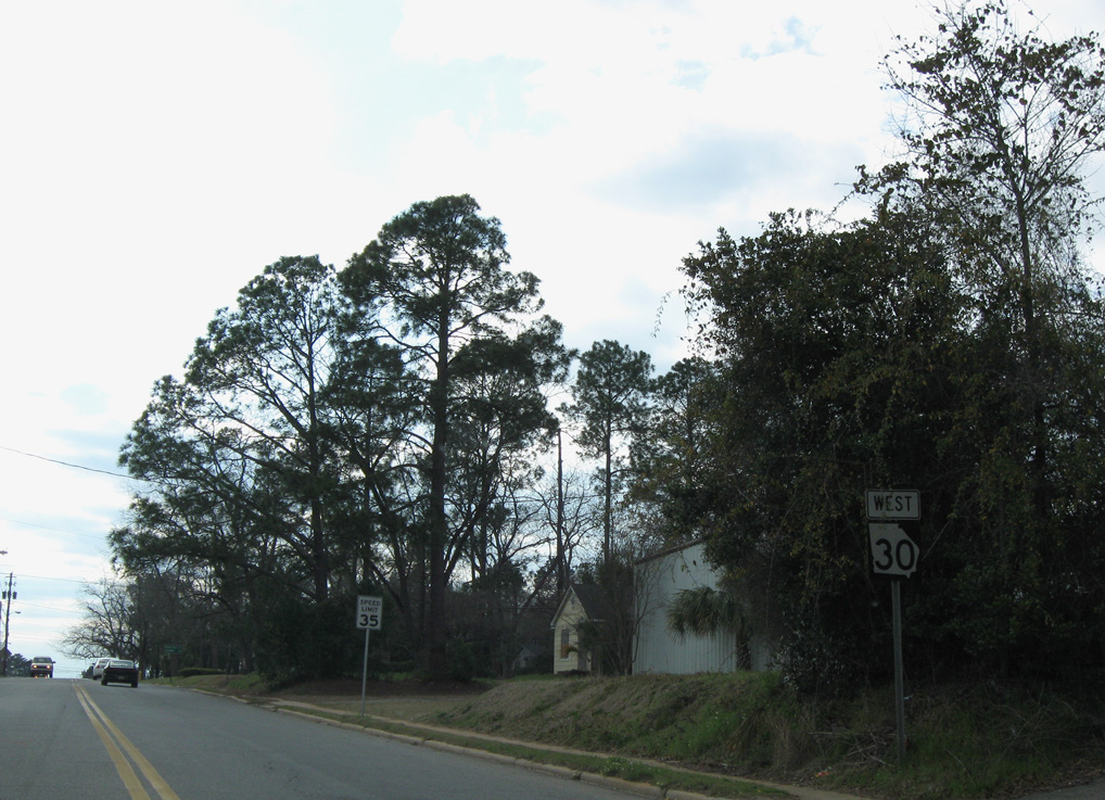
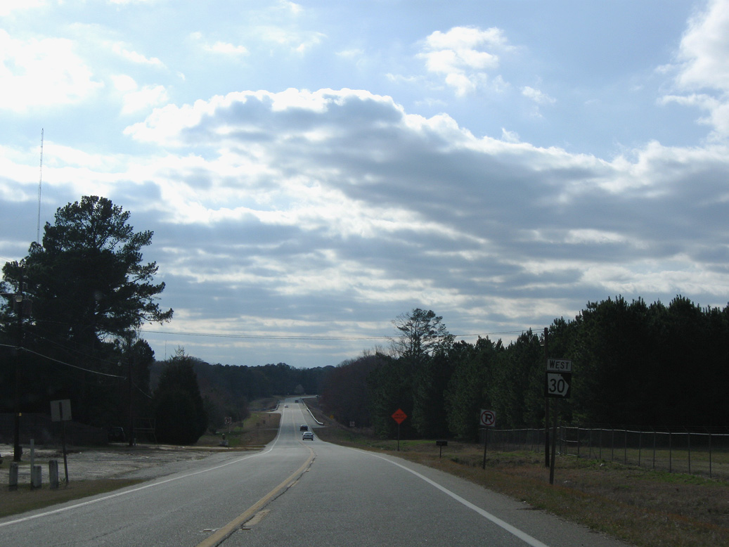
| SR 30 continues west from SR 45 to SR 153 at Friendship. 03/15/10 |
Photo Credits:03/15/10, 08/28/21 by AARoads
Connect with:
Interstate 95
U.S. 19
U.S. 80
U.S. 280
State Route 21
Page Updated 09-23-2021.