Georgia Route 42 Connector is the eastern leg of John Lewis Freedom Parkway NE between the Inman Park and Poncey-Highland neighborhoods east of Downtown Atlanta. Encircling The Carter Center and the Jimmy Carter Presidential Library and Museum, the divided, two lane parkway links SR 10 (John Lewis Freedom Parkway) with U.S. 23/SR 42 (Moreland Avenue). The 0.62 mile long route was built within the original right of way reserved for unconstructed Interstate 485 / State Route 410.
|
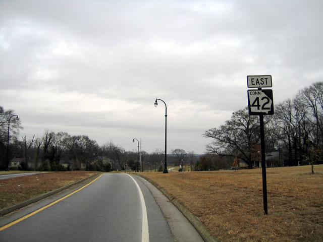
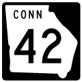
| SR 42CO reassurance marker posted east of N Highland Avenue NE, 01/17/04 |
|
| Construction of Freedom Parkway severed Seminole Avenue, which parallels U.S. 23/SR 42 (Moreland Avenu) one block to the west. 01/17/04 |
|
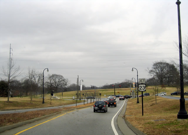
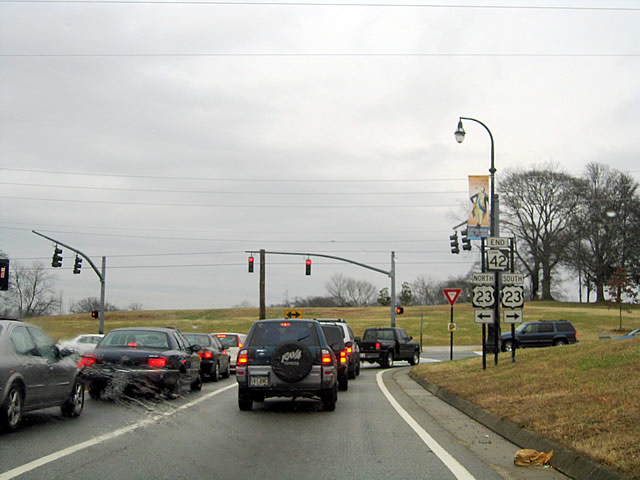
| SR 42CO ties into U.S. 23/SR 42 three blocks south of their split at U.S. 29/78/278-SR 8/10 (Ponce De Leon Avenue). U.S. 23/SR 42 (Moreland Avenue) south lead to Little Five Points and Interstate 20. 01/17/04 |
|
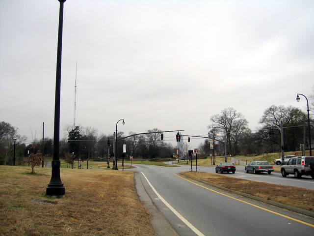
| The roadways for SR 42CO (John Lewis Freedom Parkway) diverge west of N Highland Avenue NE around The Carter Cetner and Jimmy Carter Presidential Library and Museum. 01/17/04 |

 East
East