|
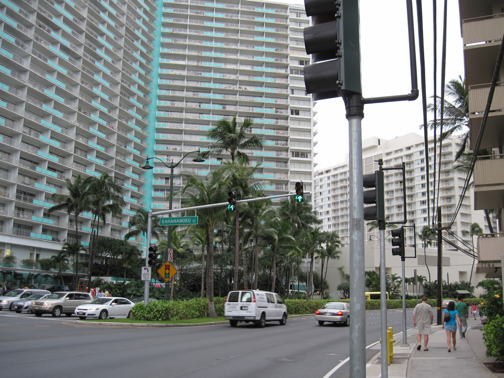
| Unmarked Route 92 curves northwest along Ala Moana Boulevard at Kahanamoku Street in Waikiki. 01/16/11 |
|
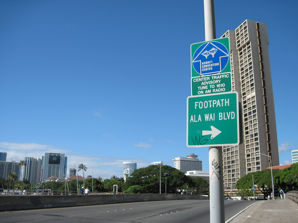
| Route 92 (Ala Moana Boulevard) crosses Ala Wai Canal north from Waikik to the Ala Moana Center. Ala Wai Boulevard lines the south side of the canal but does not directly connect with Ala Moana Boulevard. 01/15/11 |
|
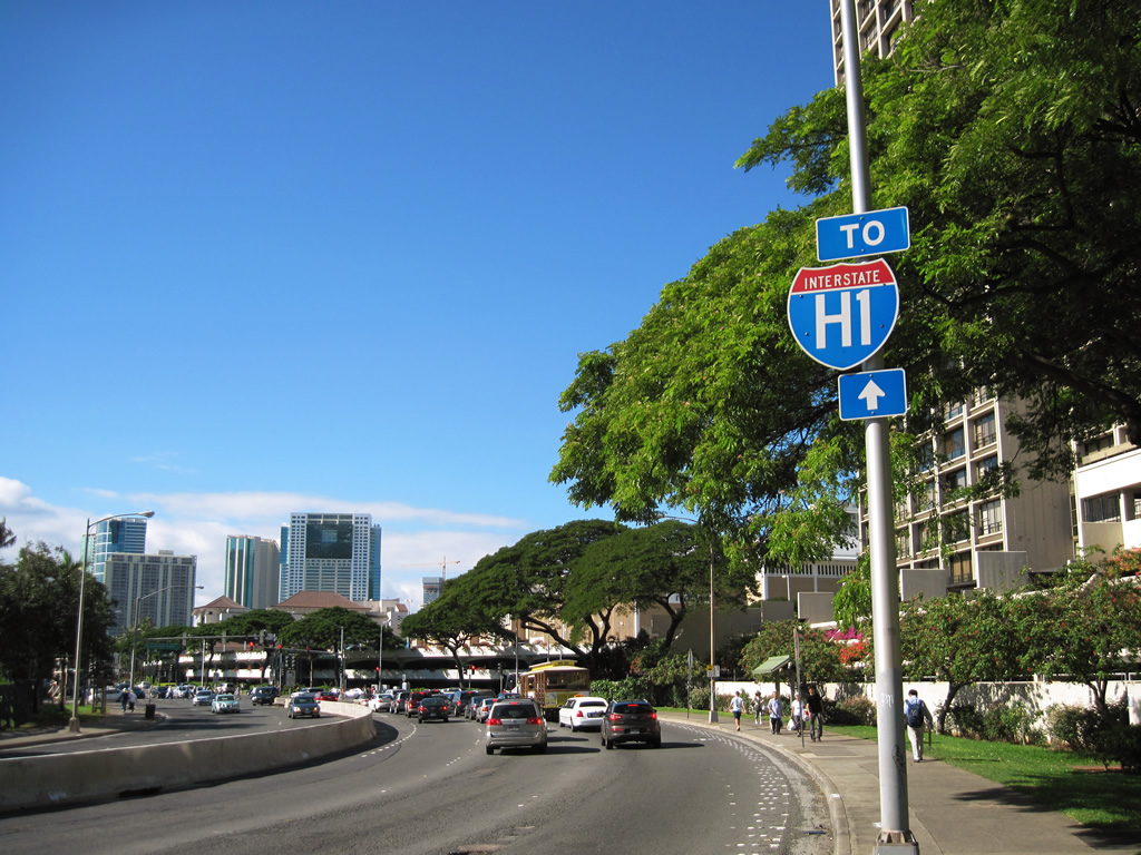
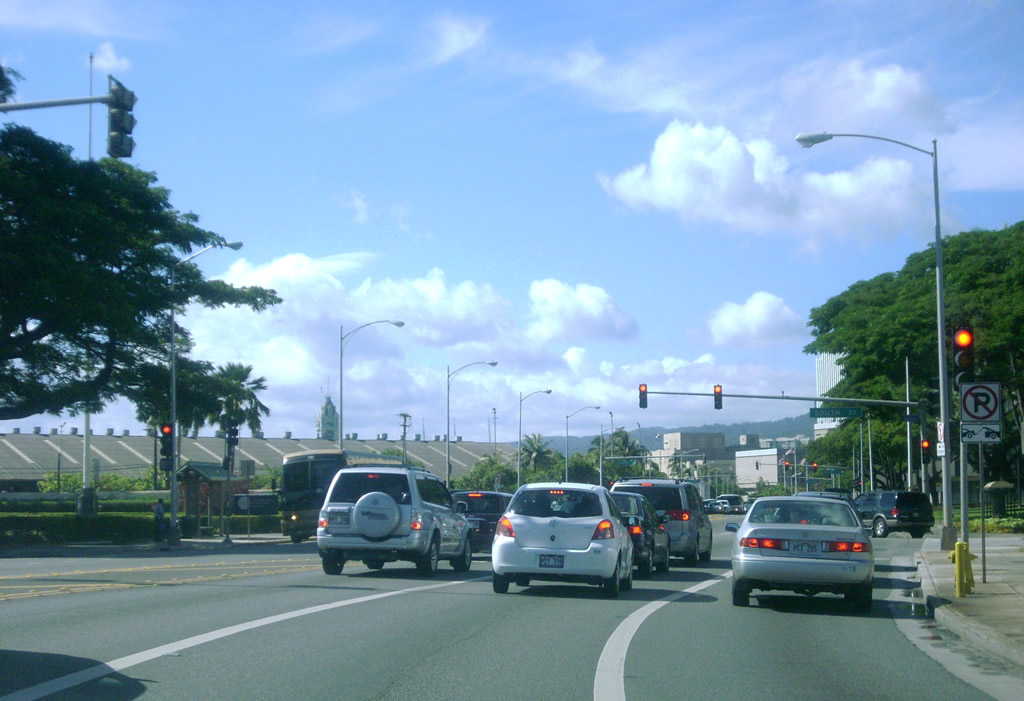
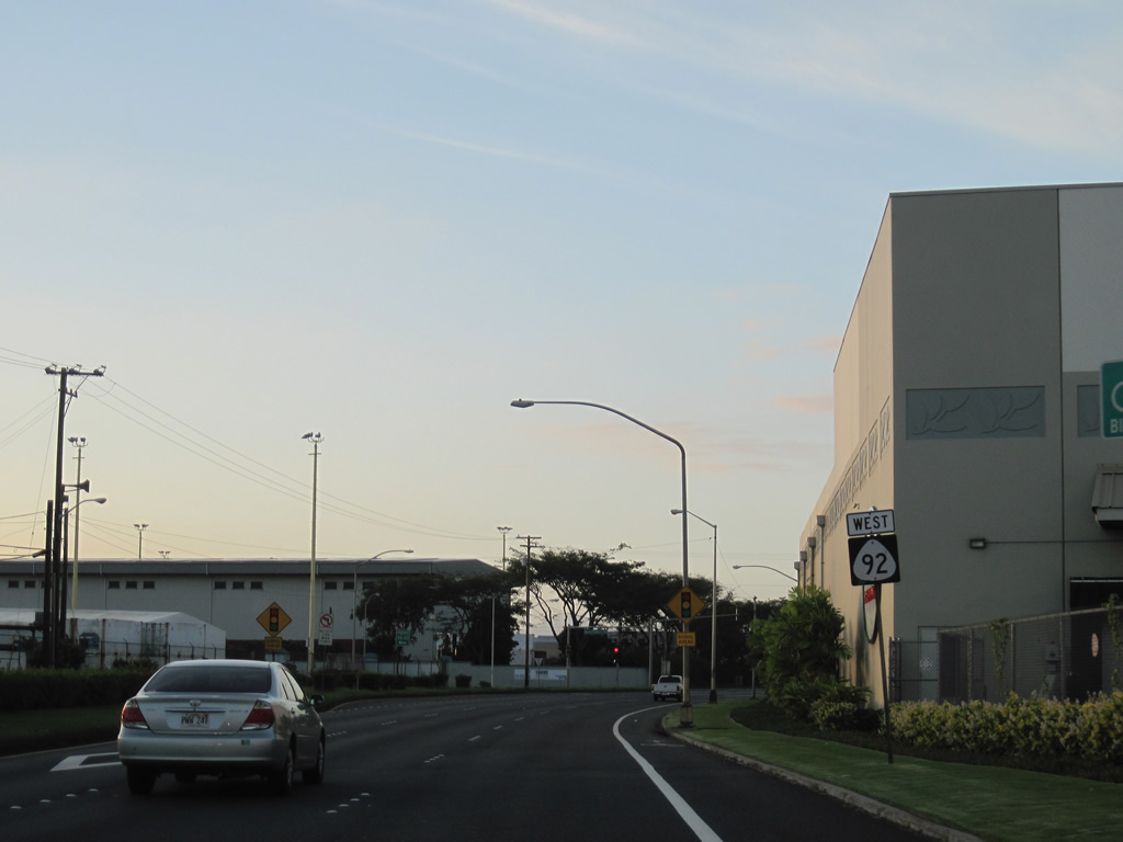
| An Interstate H1 trailblazer posted between Ala Wai Canal and Atkinson Drive directs motorists westward along Route 92 (Ala Moana Boulevard) to Piikoi Street north. 01/15/11 |
|
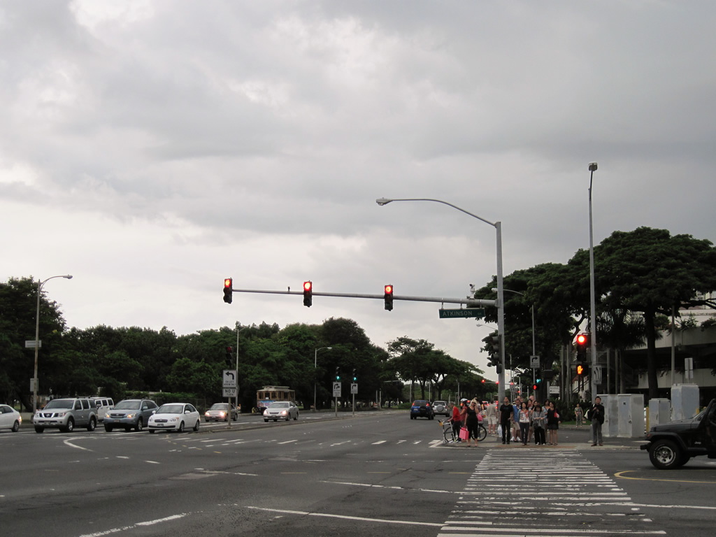
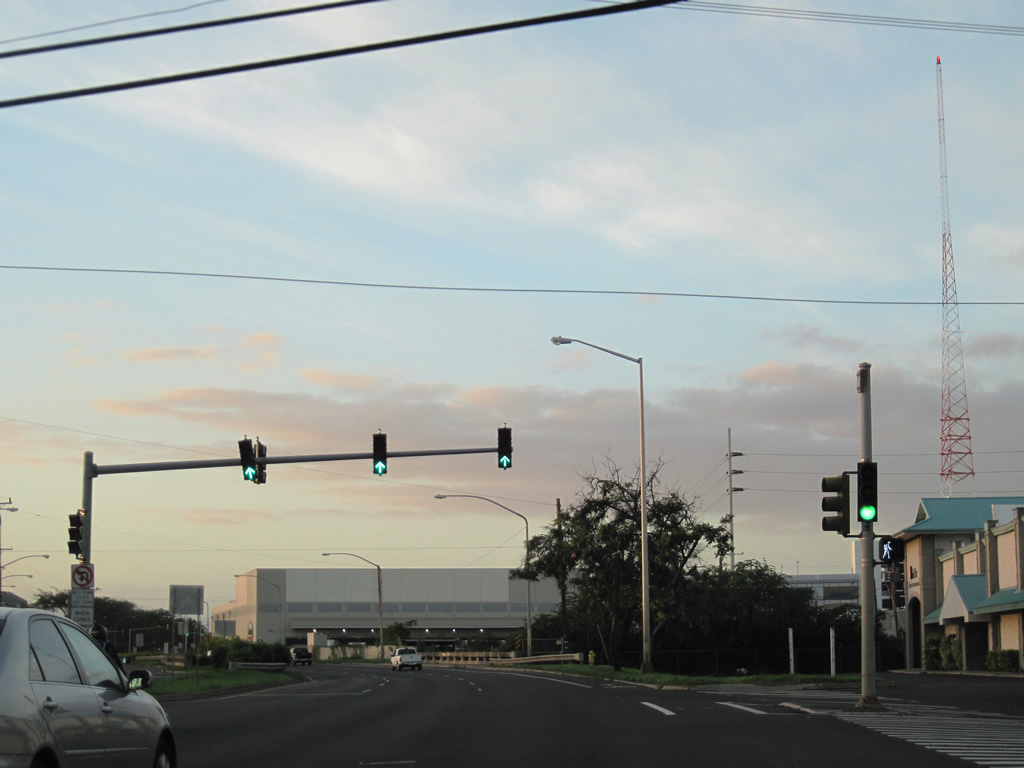
| Atkinson Drive and Ala Moana Park Drive come together at Route 92 (Ala Moana Boulevard) by Ala Moana Center. Atkinson Drive (Route 7501) connects Route 92 with Kapiolani Boulevard at the Hawaii Convention Center. 01/16/11 |
|
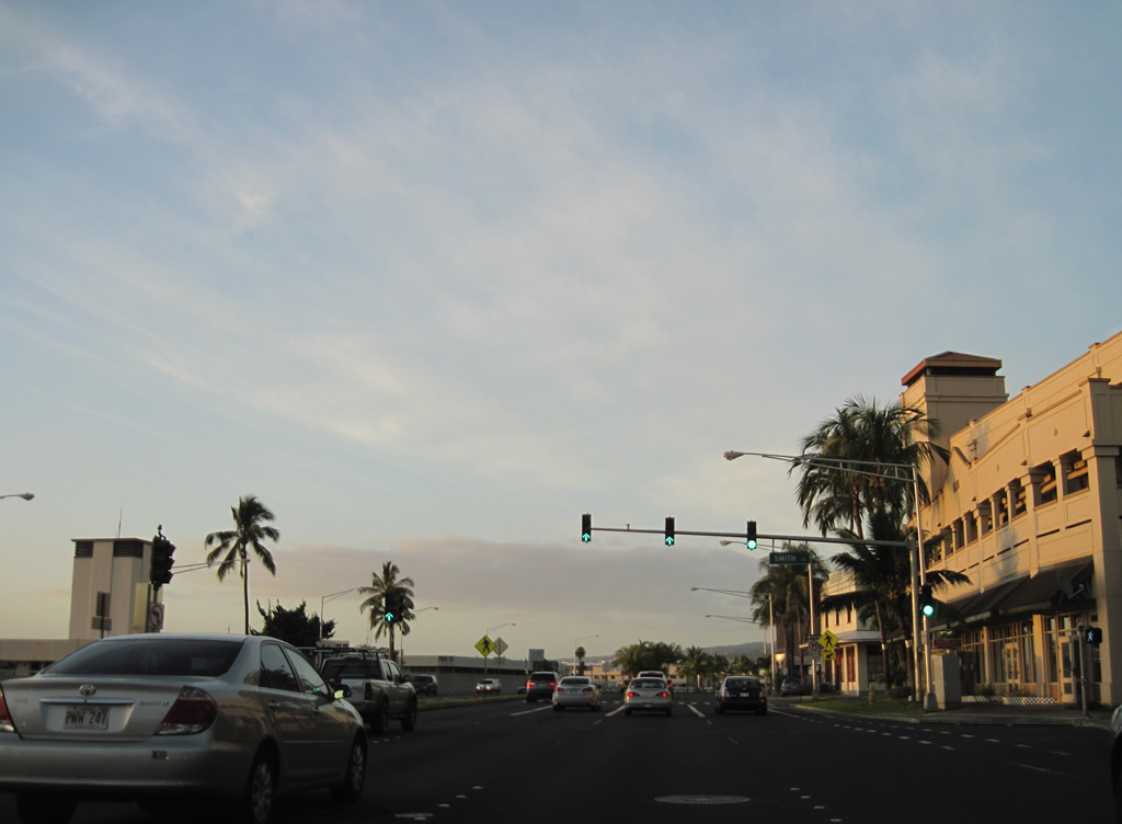
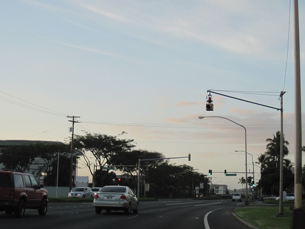
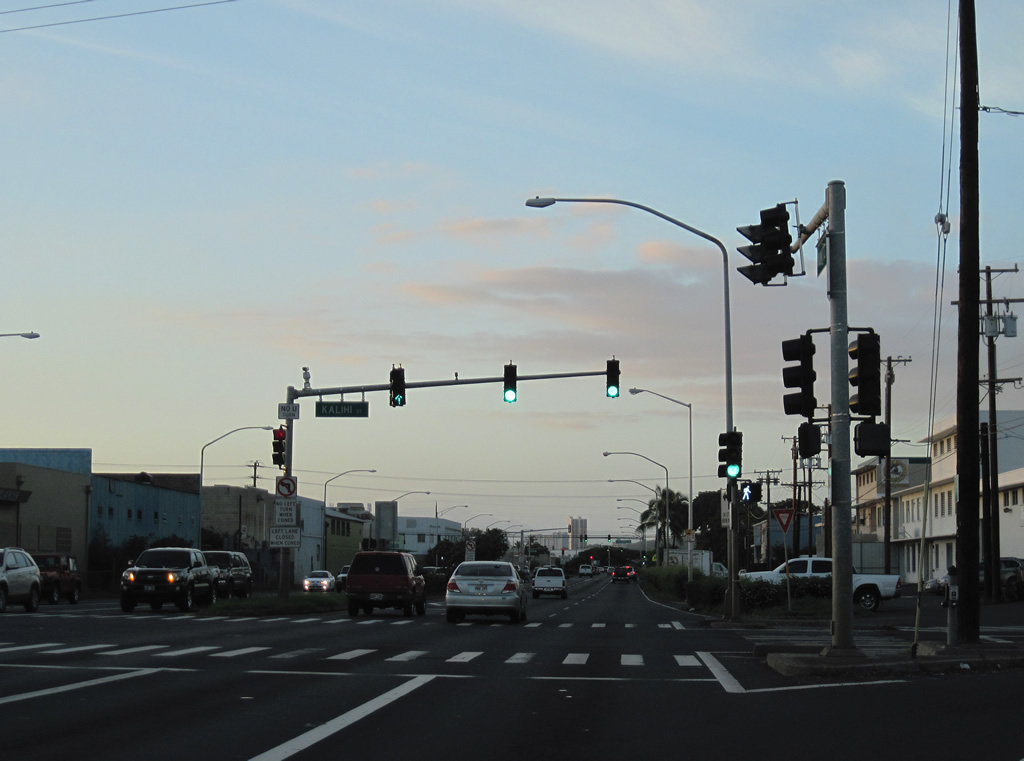
| Route 92 (Ala Moana Boulevard) curves northward through the Kaka'ako neighborhood ahead of South Street. South Street leads to Honolulu Municipal Building at King Street. 08/09/10 |
|
| Route 92 transitions from Ala Moana Boulevard onto Nimitz Highway ahead of Fort Street in Downtown Honolulu. Fort Street connects the state route with Aloha Tower 01/17/11 |
|
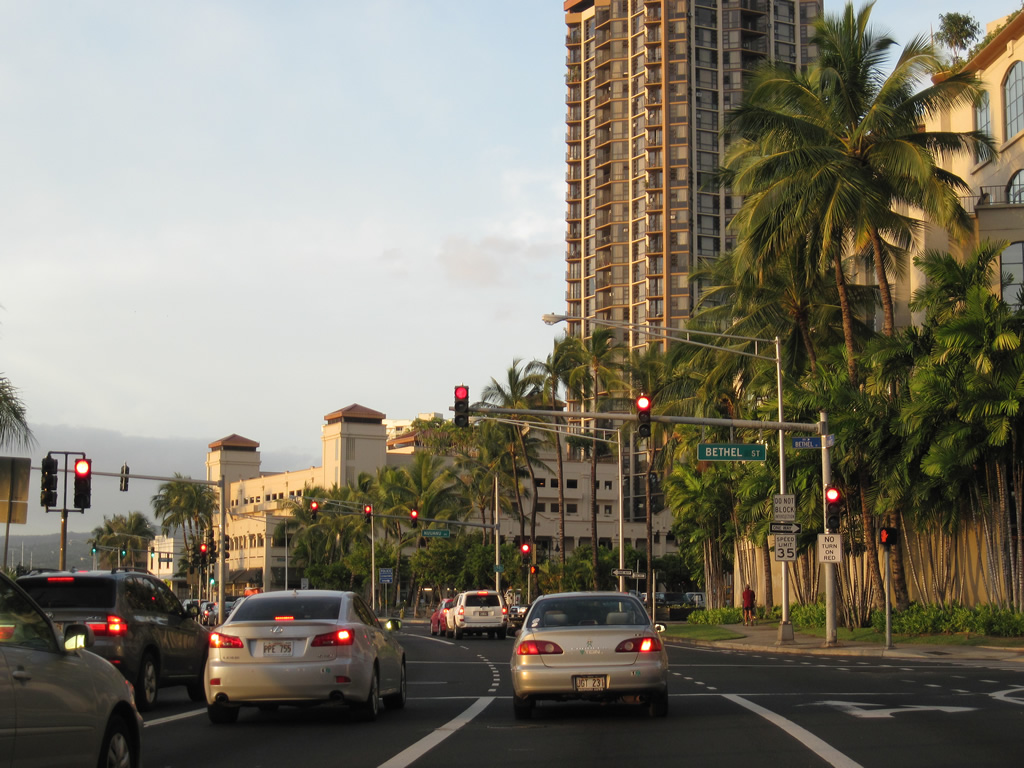
| Bethel Street flows northeast from Route 92 (Nimitz Highway) through the Arts District to Beretania Street. 01/17/11 |
|
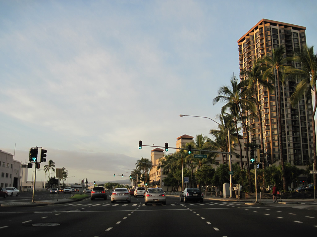
| Nuuanu Avenue flows westbound from Beretania Street to Nimitz Highway. Further north Nuuanu Avenue was formerly part of Route 61 (Pali Highway). 01/17/11 |
|
| Piers line Honolulu Harbor adjacent to Route 92 from Smith Street northwest to Kalihi Kai. 01/17/11 |
|
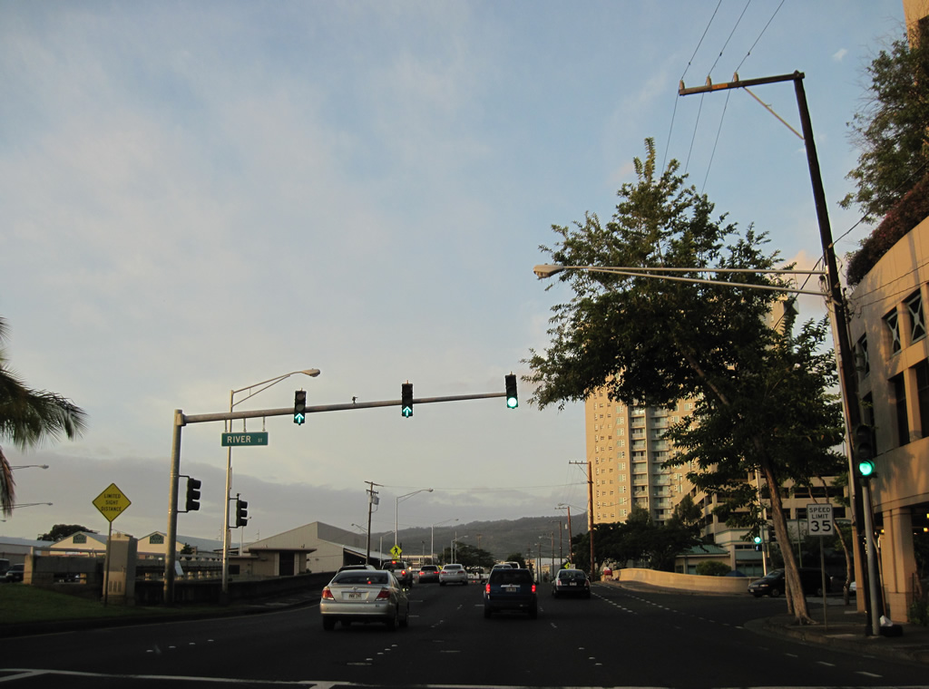
| River Street parallels Nu'uanu Streams northeast to Beretania Street in Chinatown. The westbound bridge taking Nimitz Highway across Nuuanu Stream was built in 1932. The eastbound span was built in 1952. 01/17/11 |
|
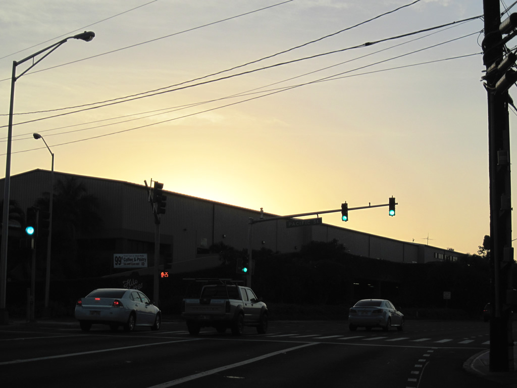
| The roadways of Route 92 separate by a block on the western turn at Iwilei. Nimitz Highway proceeds west to the signalized intersection with Pacific Street. 01/17/11 |
|
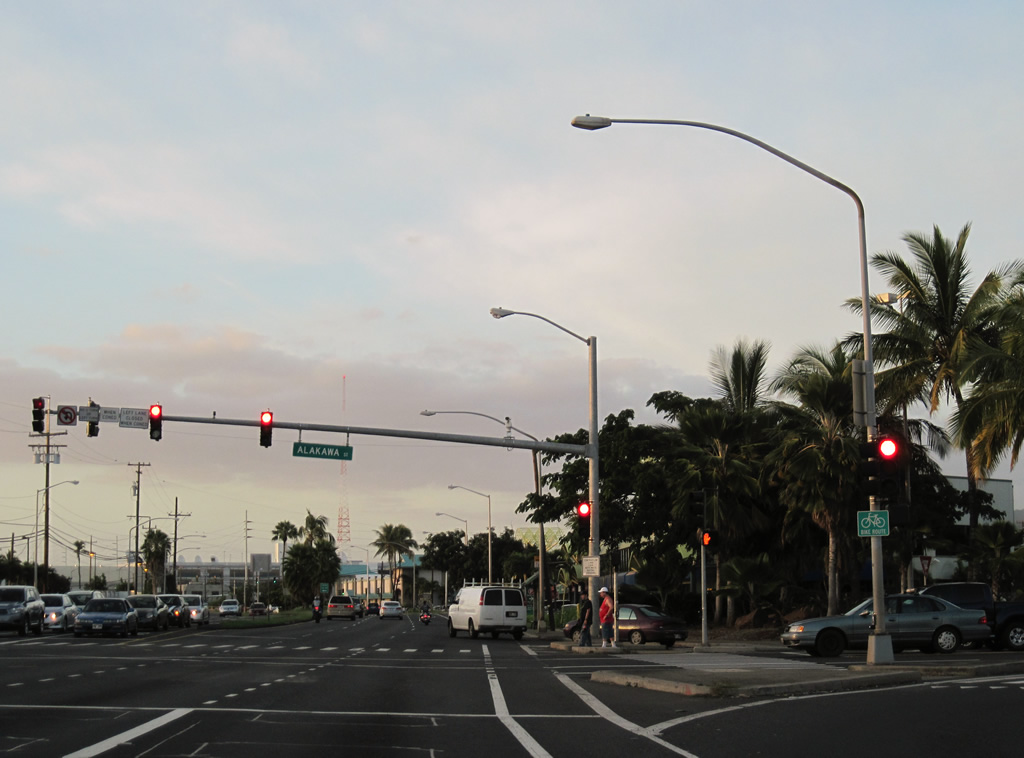
| Route 92 (Nimitz Highway) enters a retail area anchored by several big box stores at the intersection with Alakawa Street. 01/17/11 |
|
| The traffic light preceding the Kapalama Drainage Canal connects Route 92 with the Domestic Commercial Fishing Village. The following span was built in 1949. 01/17/11 |
|
| A reassurance marker for Route 92 stands along Nimitz Highway westbound between Kapalama Drainage Canal and Waiakamilo Road. 01/17/11 |
|
| Waiakamilo Road connects berths along Honolulu Harbor with Houghtailing Street north to Kamehameha Heights. 01/17/11 |
|
| Route 63 begins at the intersection of Kalihi Street and Nimitz Highway. Although unsigned south of Interstate H1, the state route joins Route 92 with Kalihi and Kaneohe via Likelike Highway and the Wilson Tunnel. 01/17/11 |
|
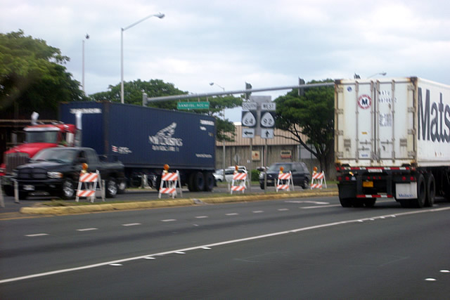
| Route 64 (Sand Island Access Road) spurs 2.61 miles southeast from Route 92 (Nimitz Highway) at Kalihi Kai onto Sand Island. 08/09/10 |
|
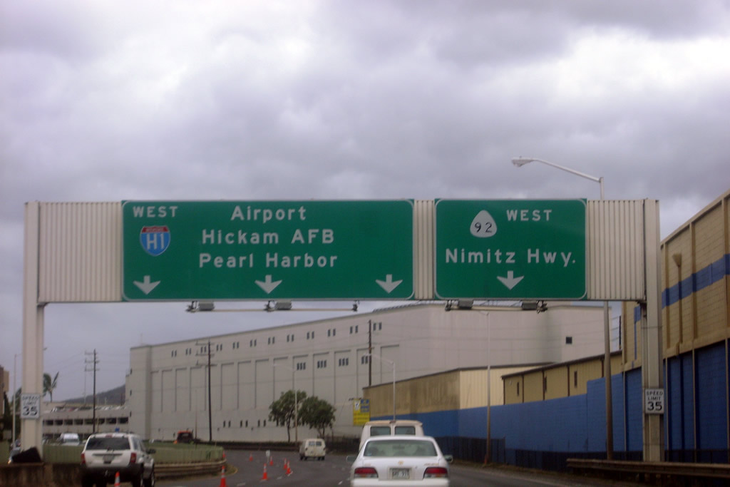
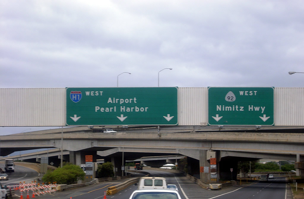
| Route 92 (Nimitz Highway) leaves the industrial Kalihi Kai area and meets Interstate H1 west beyond Kalihi Stream. Nimitz Highway parallels the I-H1 viaduct by Honolulu International Airport (HNL). 08/09/10 |
|
| Route 92 (Nimitz Highway) enters a wye interchange with Interstate H1 (Queen Liliuokalani Freeway) west. A second wye interchange ties in from Dillingham Boulevard nearby. 08/09/10 |
|
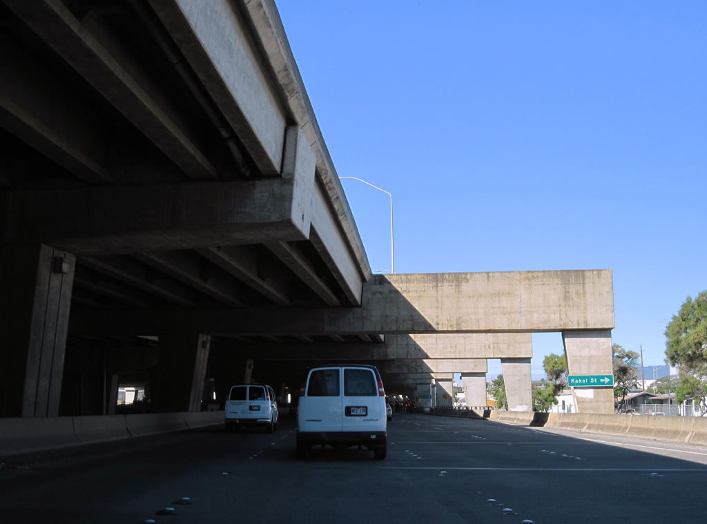
| Route 92 (Nimitz Highway) west partitions into separate roadways below the I-H1 viaduct and next intersects Kakoi Street. 01/19/11 |
|
| Ahua Street spurs north from Nimitz Highway into an industrial area west of Moanalua Stream. A U-turn lane provides return access to Interstate H1 and Route 92 east for Kakoi Street. 01/19/11 |
|
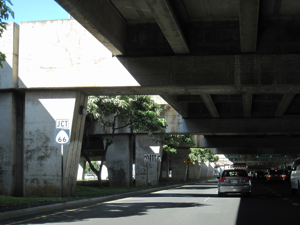
| A remnant Route 66 shield precedes Puuloa Road along Route 92 west. Puuloa Road (Route 7310) connects the Honolulu International Airport (HNL) area with Interstate H201 and Tripler Medical Center via Jarrett White Road. 01/19/11 |
|
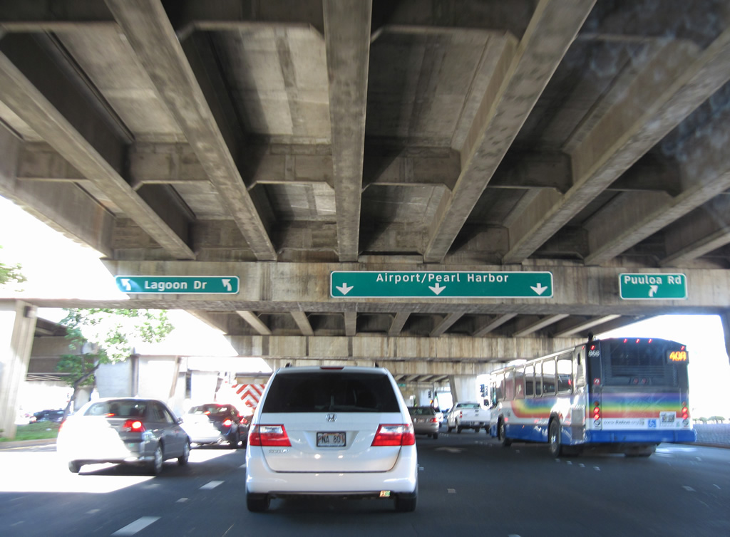
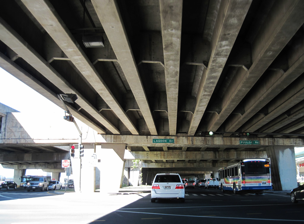
| Route 92 maintains three through lanes at the intersection with Puuloa Road (Route 7310) north and Lagoon Drive south. 01/19/11 |
|
| Lagoon Drive links Puuloa Road and Route 92 with cargo services at HNL Airport. 01/19/11 |
|
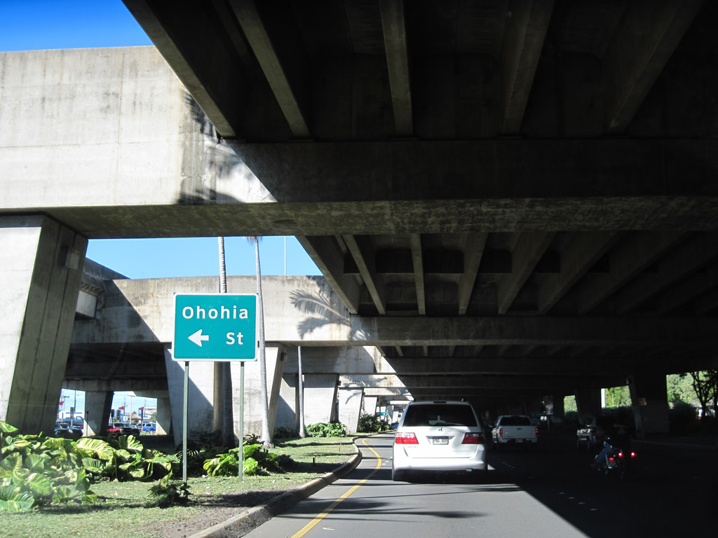
| Ohohia Street connects Route 92 with a business park on the north side of the Honolulu International Airport (HNL). 01/19/11 |
|
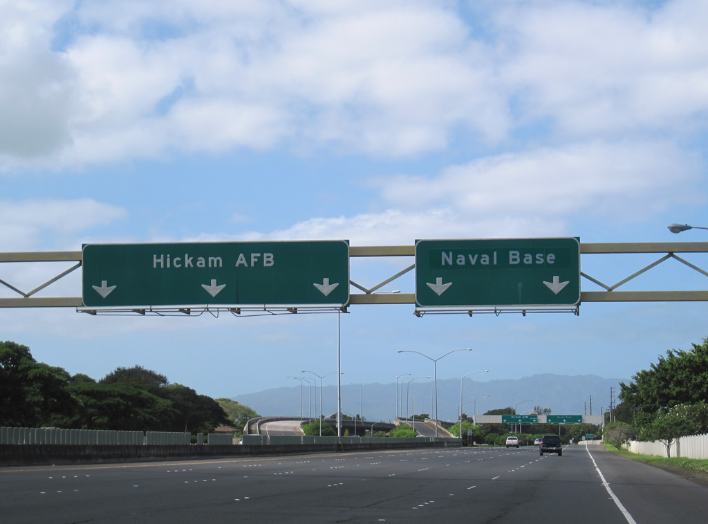
| Route 92 (Nimitz Highway) spurs west from Interstate H1 into Joint Base Pearl Harbor-Hickam (PHH). The freeway splits into branches for O'sMalley Boulevard south to Hickam Field and Nimitz Highway west to Pearl Harbor. 01/17/11 |
|
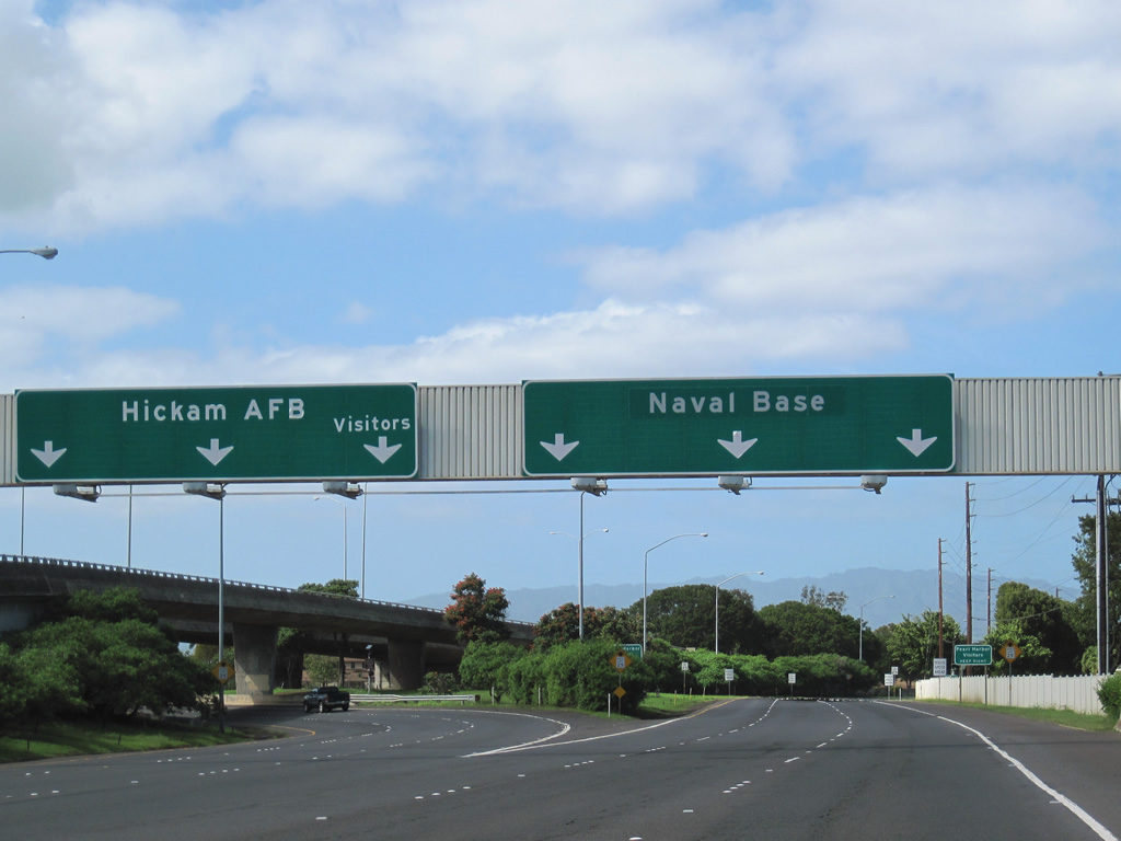
| A wye interchange accommodates three lanes both to the O'Malley Boulevard main gate and the Nimitz Highway main gate. 01/17/11 |
|
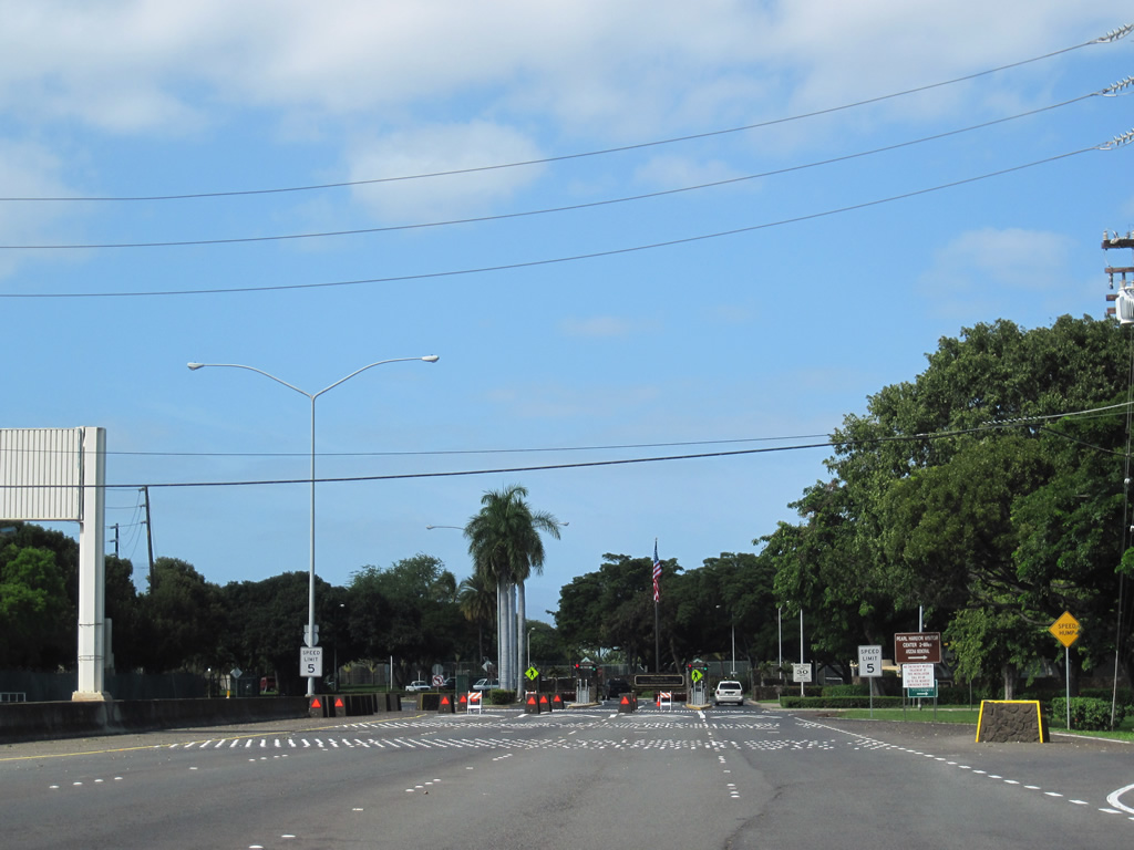
| A right turn onto Center Drive provides the final departure point from Nimitz Highway westbound prior to the main gate into Joint Base Pearl Harbor-Hickam (PHH). 01/17/11 |
Page Updated 12-15-2011.