|
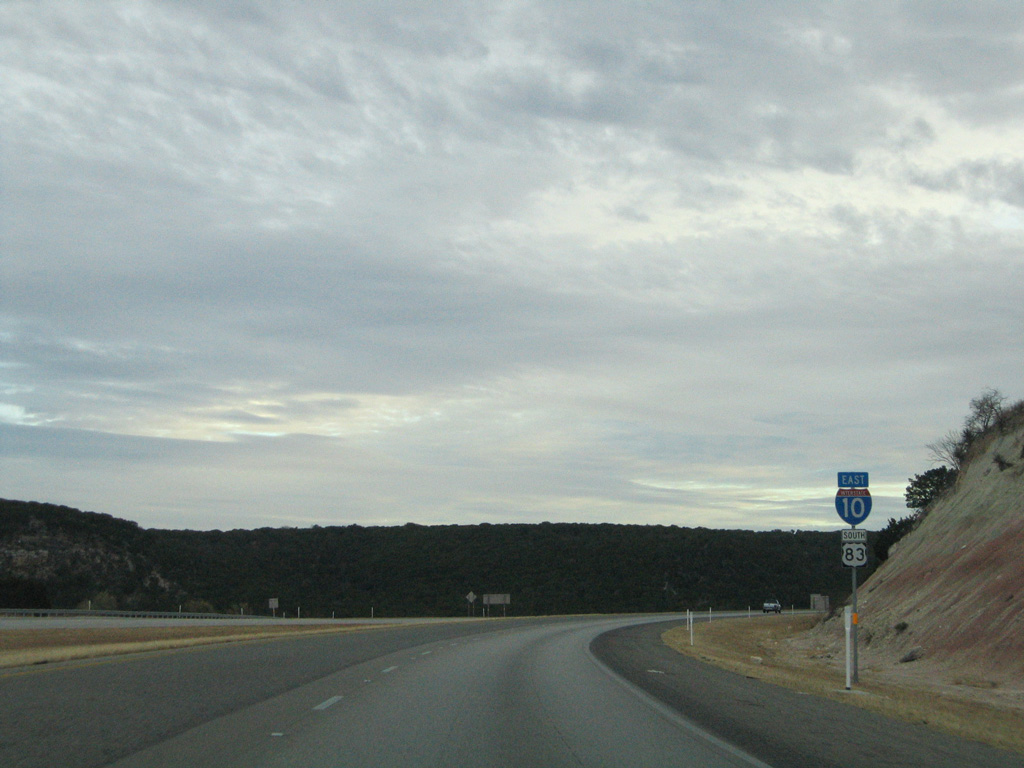
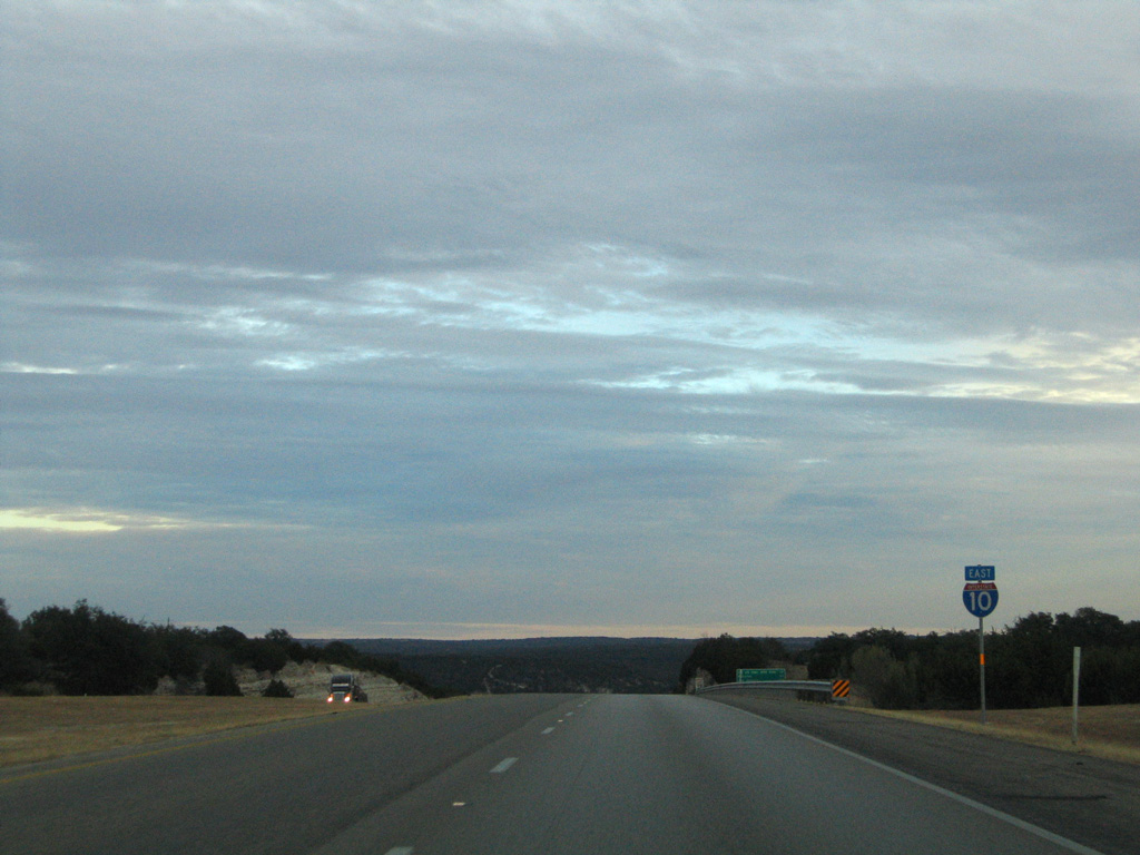
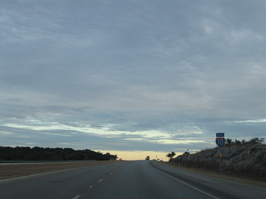
| IH 10 east & U.S. 83 south confirming markers posted ahead of the wye interchange with SL 481 (former U.S. 290). 01/14/06 |
|
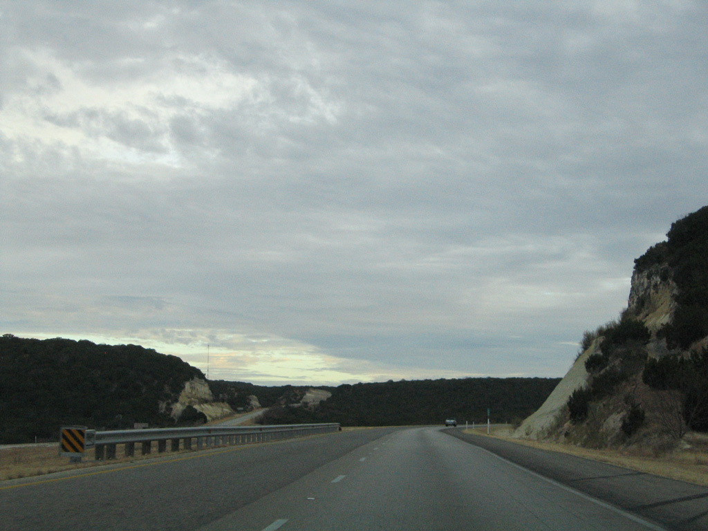
| The freeway roadways diverge just north of the ending SL 461. 01/14/06 |
|
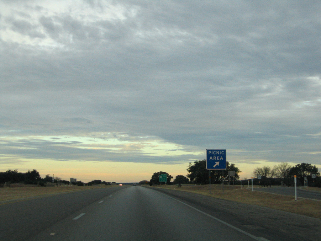
| A picnic area follows the entrance ramp from SL 481 south onto IH 10 eastbound. A segment of old U.S. 290 travels locally to the east. 01/14/06 |
|
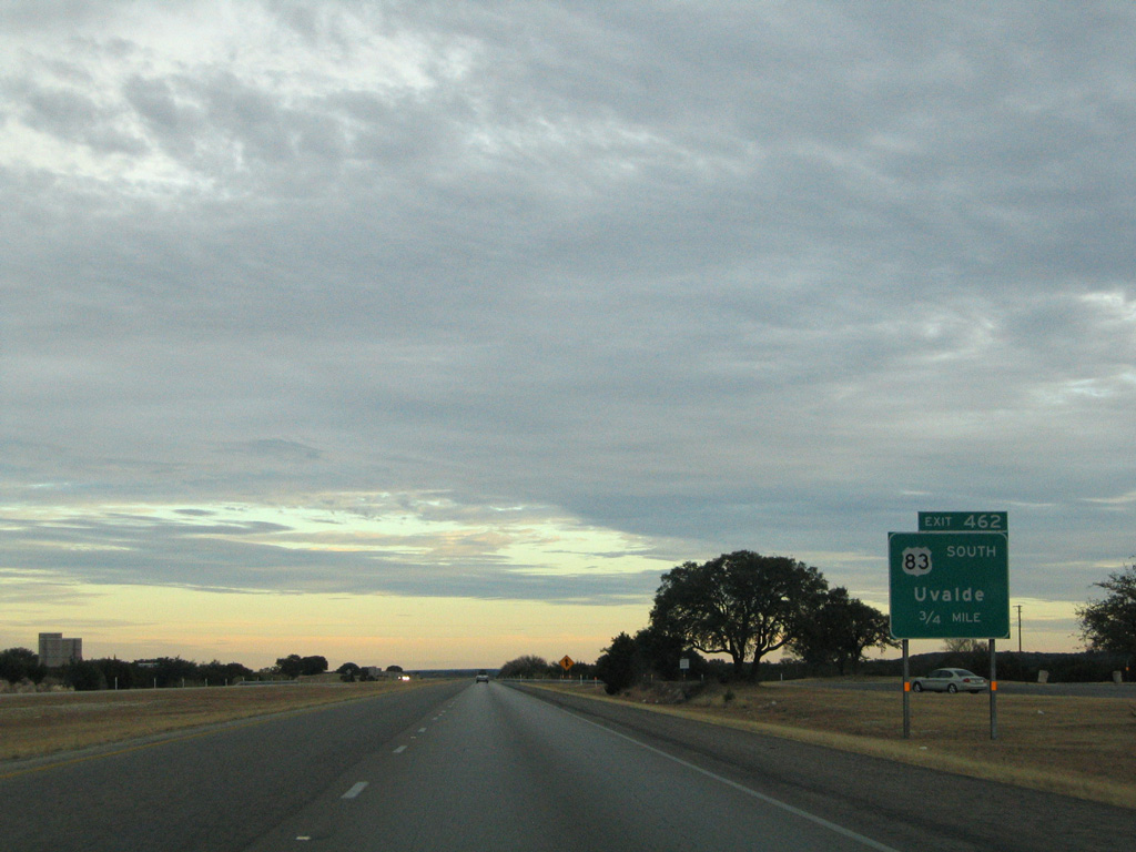
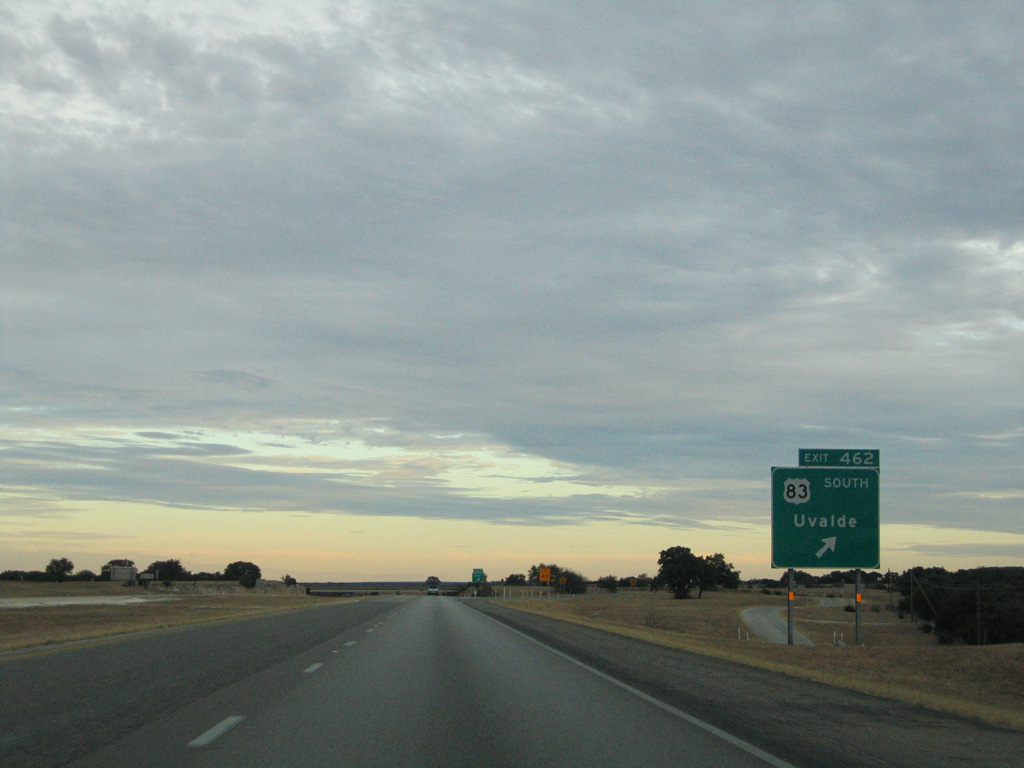
| U.S. 83 splits with IH 10 at a trumpet interchange (Exit 462) in 0.75 miles. 01/14/06 |
|
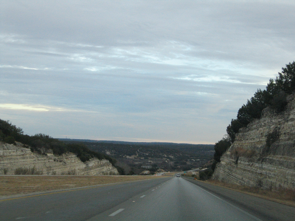
| U.S. 83 ventures south from IH 10 to Uvalde, Laredo and the Rio Grande Valley. 01/14/06 |
|
| Bending more toward the east, IH 10 directly replaced old U.S. 290 along Dry Hollow. 01/14/06 |
|
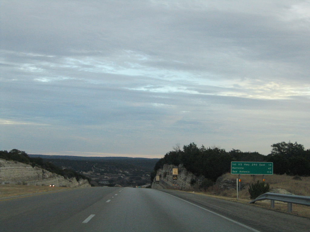
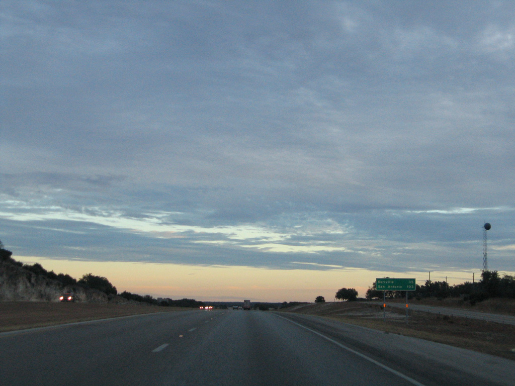
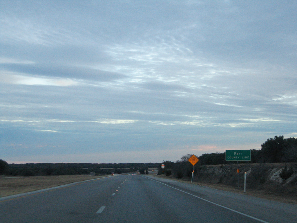
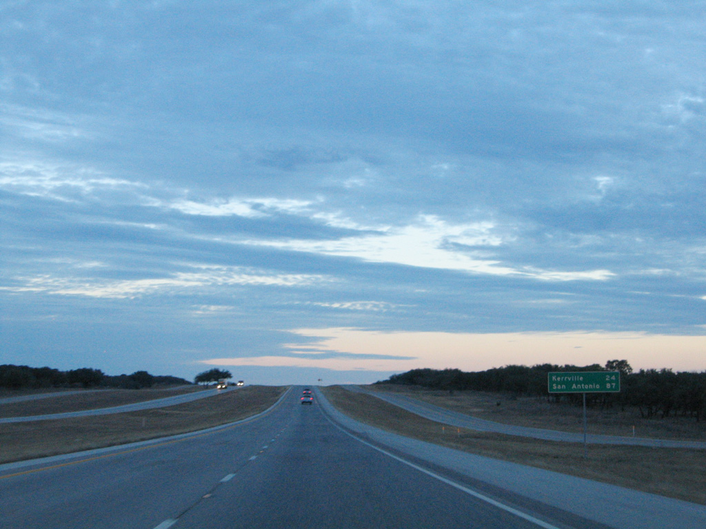
| U.S. 290 begins 14 miles ahead from IH 10 just ahead of the Kerr County line. A sign replacement of this assembly adjusted the distance to Kerrville from 47 to 45 miles and San Antonio from 113 to 109 miles. 01/14/06 |
|
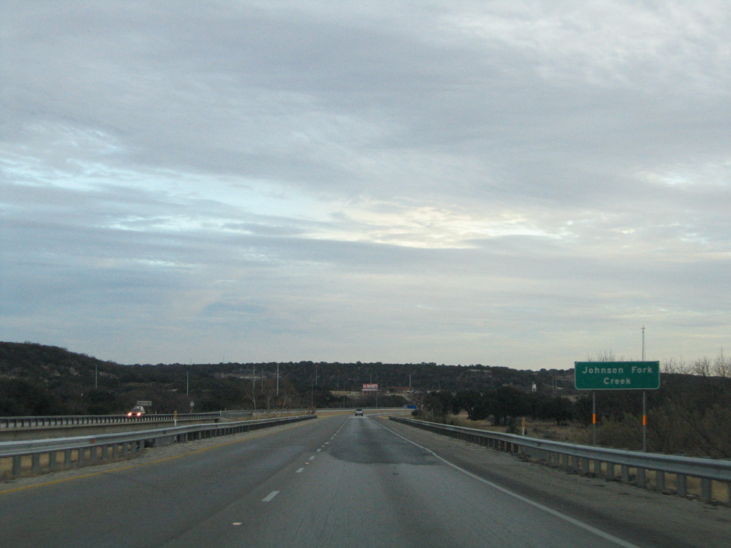
| Dropping into a valley fed by Johnson Fork, IH 10 lowers 260 feet in elevation from 2,000 feet above sea level. 01/14/06 |
|
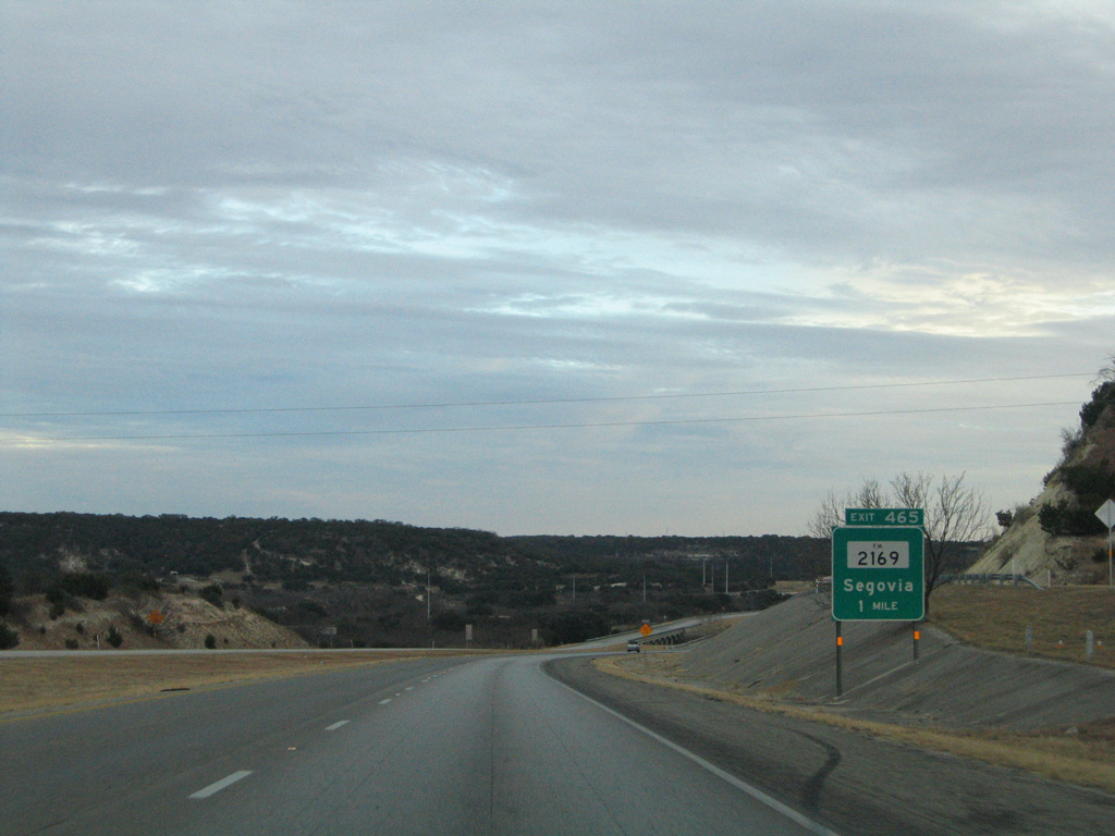
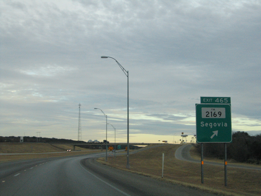
| FM 2169 converges with Interstate 10 again at the settlement of Segovia in one mile. 01/14/06 |
|
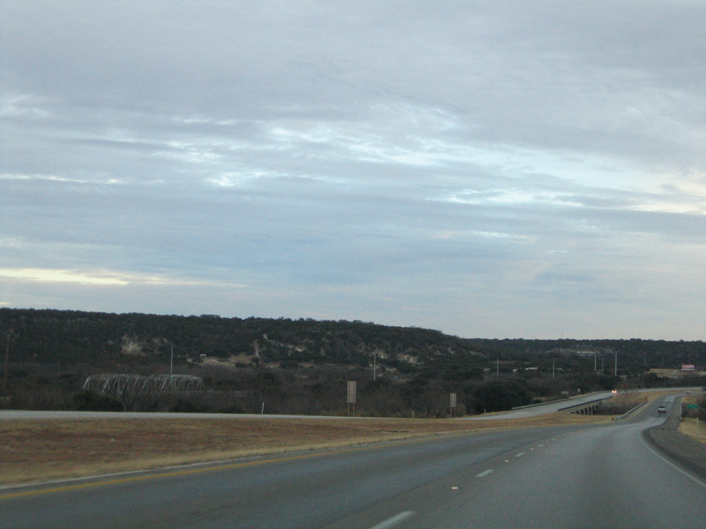
| A 1938 truss bridge along old U.S. 290 (Sissel Road) appears nearby at Johnson Fork. 01/14/06 |
|
| IH 10 crosses Johnson Fork creek on bridges dating from 1969. 01/14/06 |
|
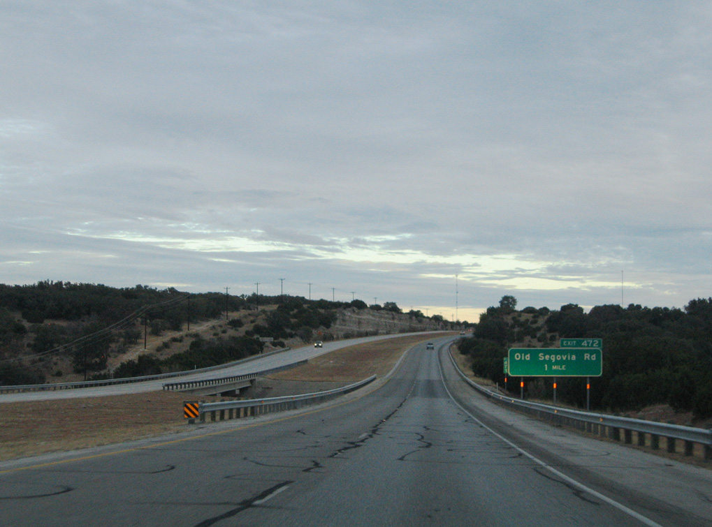
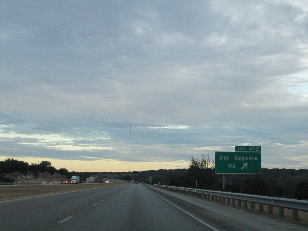
| Entering the diamond interchange (Exit 467) with Old Segovia Road and FM 2169 at Segovia. FM 2169 follows old U.S. 290 southeast to RM 479 and IH 10 again ahead of Exit 472. 01/14/06 |
|
| IH 10 curves east along Pole Hollow along the ensuing stretch. 01/14/06 |
|
| Old U.S. 290 reappears along IH 10 south between FM 2169 and Joy Creek. 01/14/06 |
|
| Old Segovia Road (former U.S. 290) meets IH 10 again at Exit 472. 01/14/06 |
|
| Continuing through southern Kimble County, IH 10 travels 35 miles to Kerrville. 13,600 vehicles per day were recorded along this section of IH 10 by TxDOT in 2017. 01/14/06 |
|
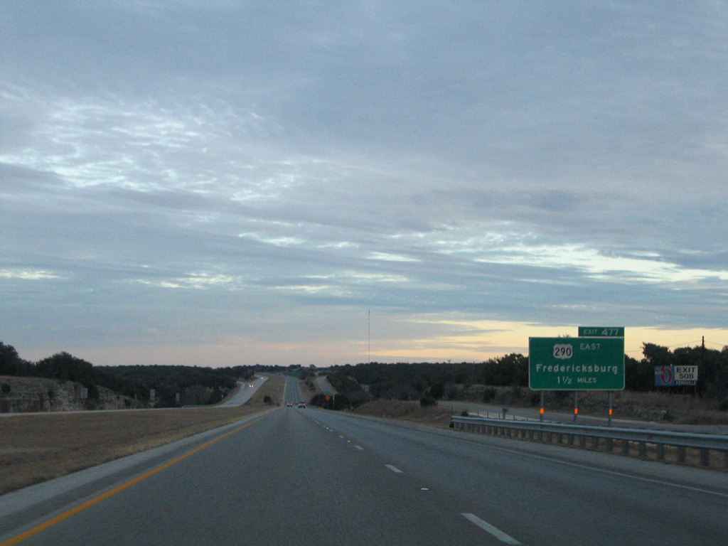
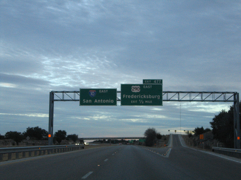
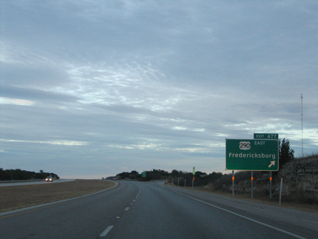
| U.S. 290 breaks away from IH 10 at Exit 477 to Harper and Fredericksburg. 01/14/06 |
|
| Exit 476 departs IH 10 eastbound for Stapp Ranch Road one half mile ahead of the split with U.S. 290. 01/14/06 |
|
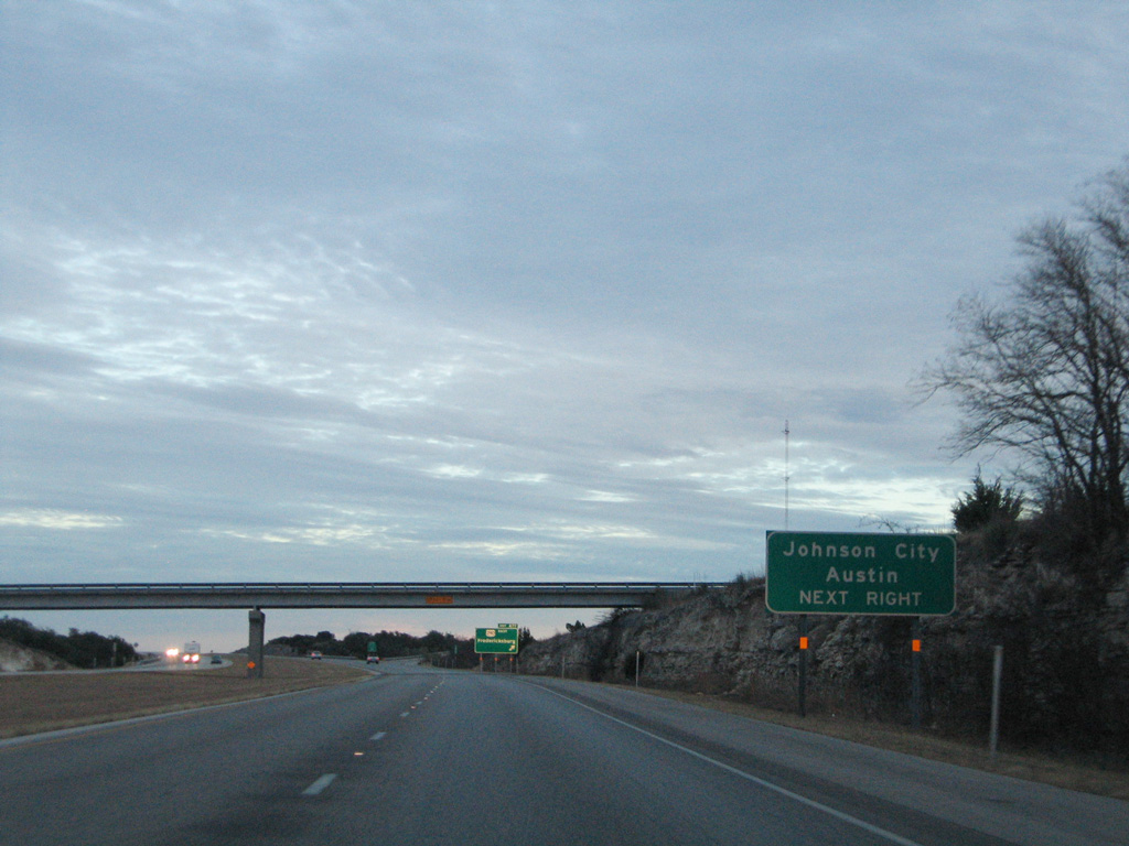
| U.S. 290 leads east 71 miles to the Blanco County seat of Johnson City, and 117 miles to IH 35 at Austin. 01/14/06 |
|
| An intrastate route, U.S. 290 measures just 274 miles from IH 10 at Exit 477 to IH 610 on the northwest side of Houston. 01/14/06 |
|
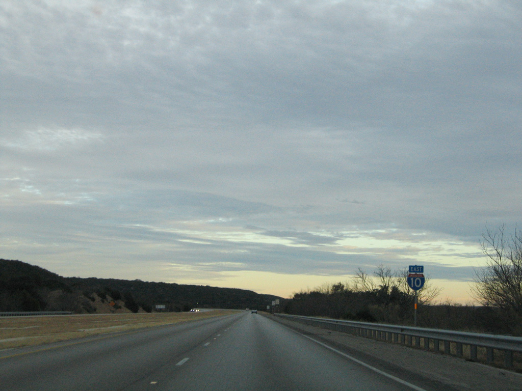
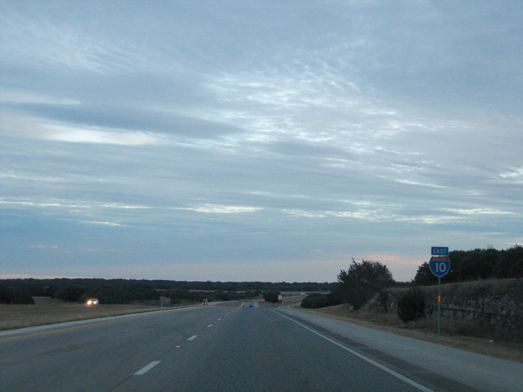
| IH 10 crosses the Kerr County line just beyond the wye interchange (Exit 484) with U.S. 290 east. 01/14/06 |
|
| The speed limit remains posted at 80 miles per hour along IH 10 through northern Kerr County. Kerrville lies 30 miles ahead, with the Alamo City another 63 miles from there. 01/14/06 |
|
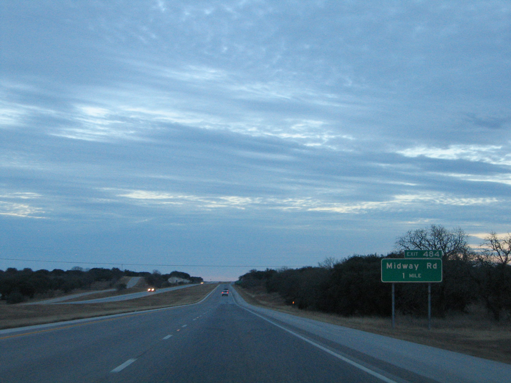
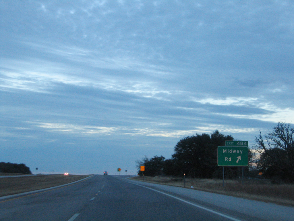
| Southeast from U.S. 290, IH 10 was constructed over SH 27. The succeeding exit is with Midway Road. 01/14/06 |
|
| Midway Road spurs southwest to ranch areas from Exit 484. 01/14/06 |
|
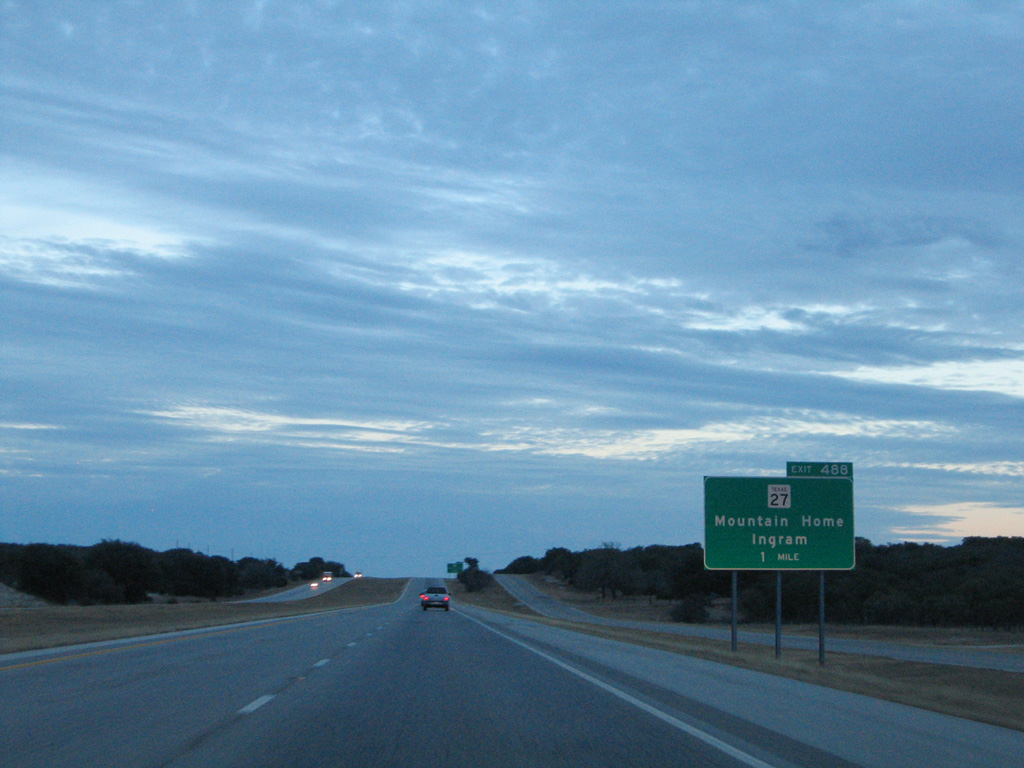
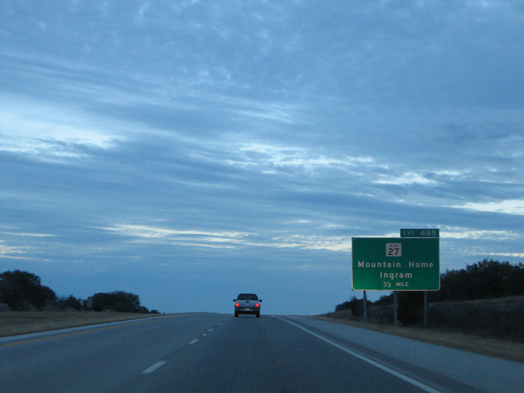
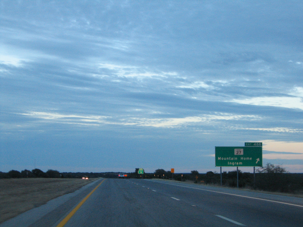
| SH 27 branches south from IH 10 to Mountain Home at the ensuing exit while the freeway stays to the north en route to Kerrville in 24 miles. 01/14/06 |
|
| SH 27 constitutes a 38.90 mile long loop south from IH 10 at Exit 488 to U.S. 87 Business at Comfort. 01/14/06 |
|
| Paralleling Johnson Creek, SH 27 winds southeast from Mountain Home to the city of Ingram. East from there, the state highway expands into a commercial boulevard into Kerrville. 01/14/06 |
|
| IH 10 crosses Rough Hollow east of SH 27 and this confirming marker. 01/14/06 |
|
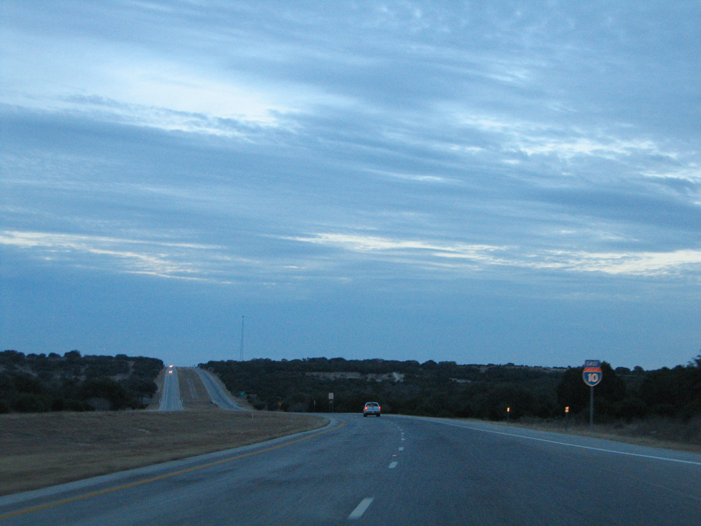
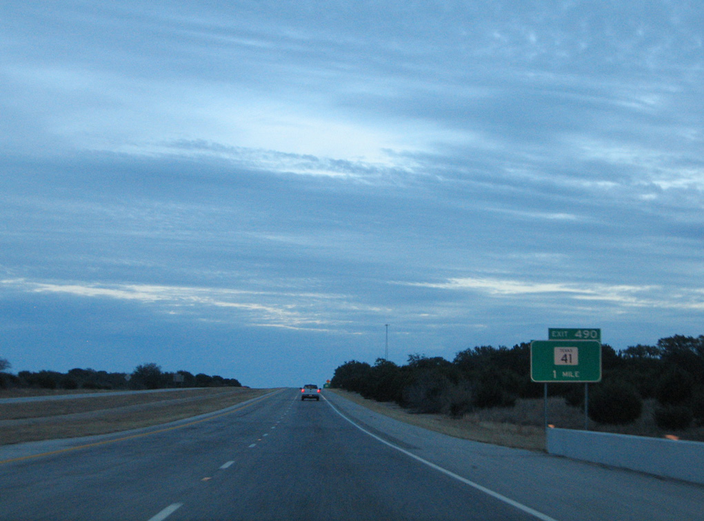
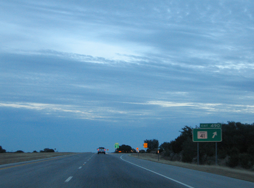
| SH 41, a 50.40 mile long highway from U.S. 377 in Edwards County, concludes at IH 10 in one mile. 01/14/06 |
|
| Exit 490 to SH 41 leads motorists southwest to Mountain Home. 01/14/06 |
|
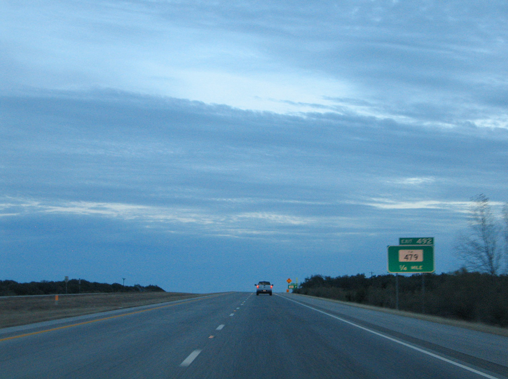
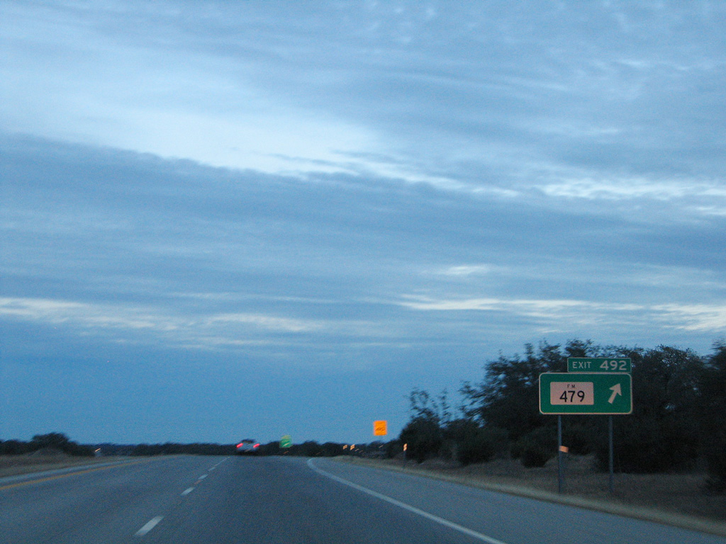
| A diamond interchange joins IH 10 with RM 479 just west of the Gillespie County line. RM 479 constitutes a 32.27 mile loop southeast from RM 2169 in Kimble County to Noxville and SH 27 south of Exit 492. 01/14/06 |
Page Updated 07-21-2019.


 East
East  South
South