|
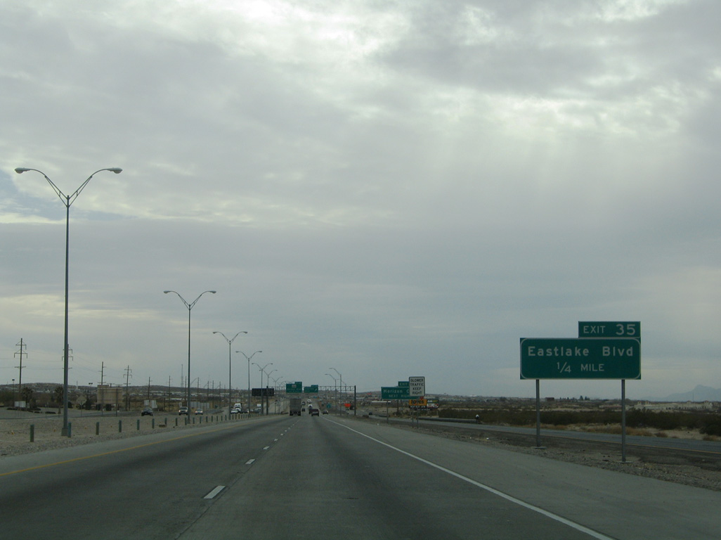
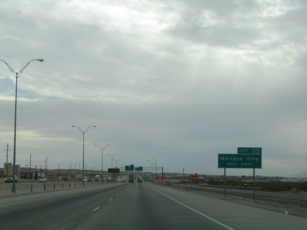
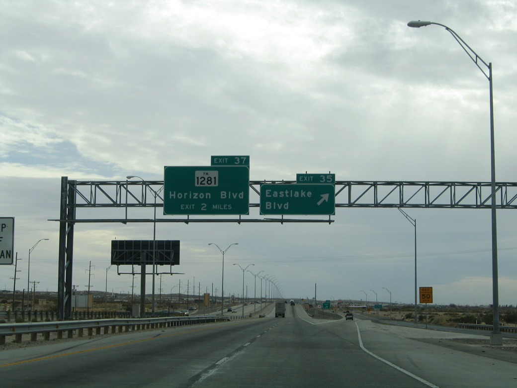
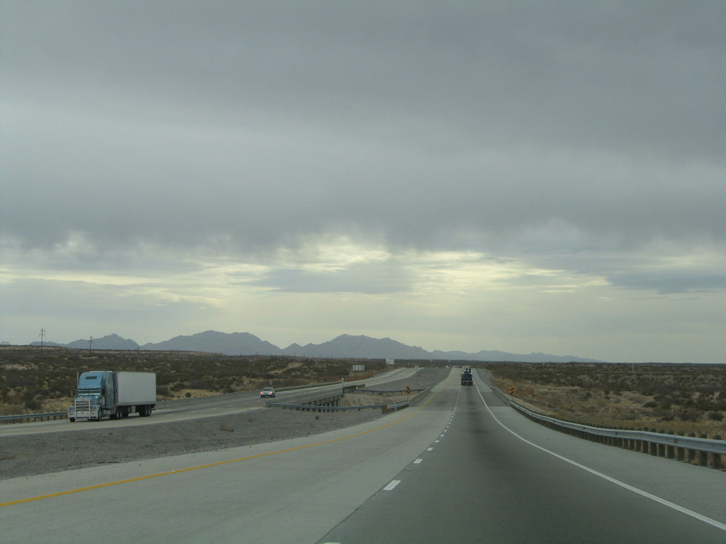
| Eastlake Boulevard joins IH 10 with the southeastern suburbs of El Paso at Exit 35. 01/14/06 |
|
| Eastlake Boulevard forms an arterial belt loop east around Horizon City from IH 10 to FM 1281 (Horizon Boulevard). 01/14/06 |
|
| Neuvo Heuco Tanks Road extends Eastlake Boulevard 2.07 miles southwest from the exchange with IH 10 to FM 76 (N Loop Drive) in the city of Socorro. 01/14/06 |
|
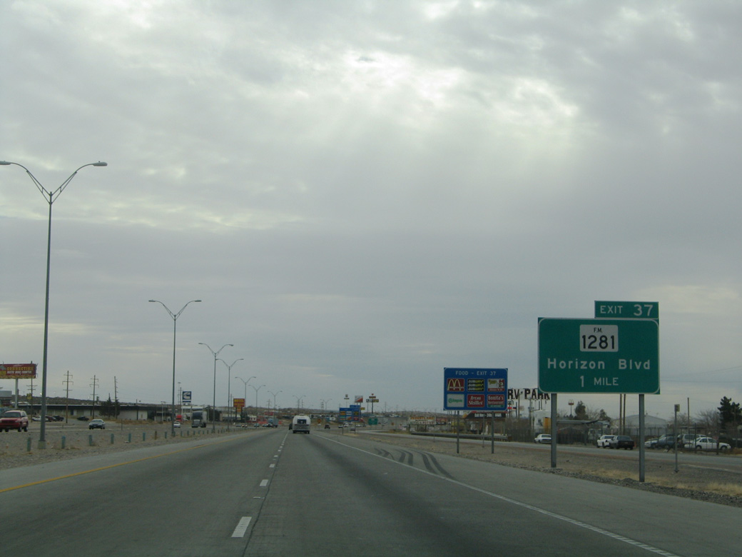
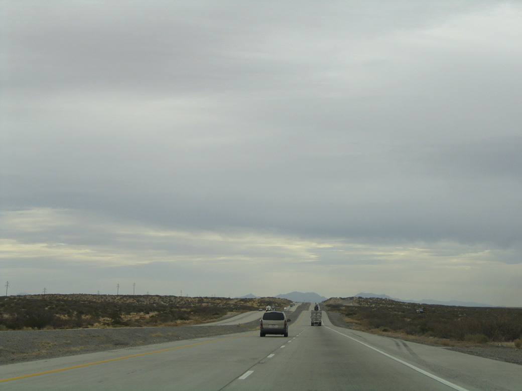
| Interstate 10 passes by the unincorporated community of Sparks on the mile preceding Exit 37 with FM 1281 (Horizon Boulevard). 01/14/06 |
|
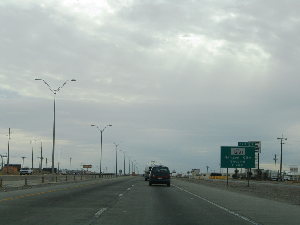
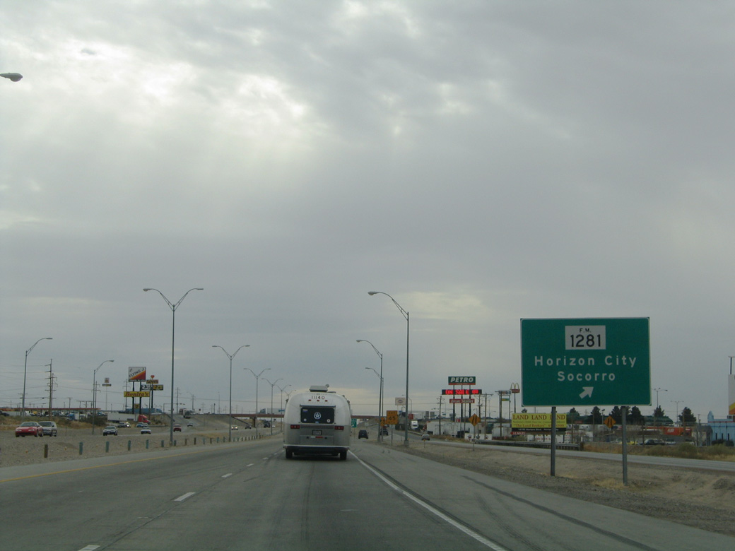
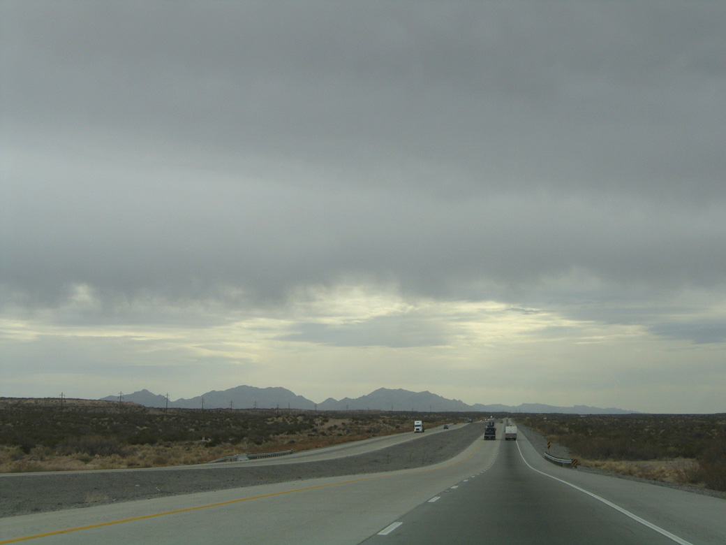
| FM 1281 comprises an 8.18 mile long highway west from Exit 37 to FM 78 in Socorro and east across Horizon City to Mark Jason Drive. 01/14/06 |
|
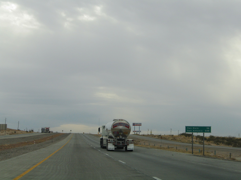
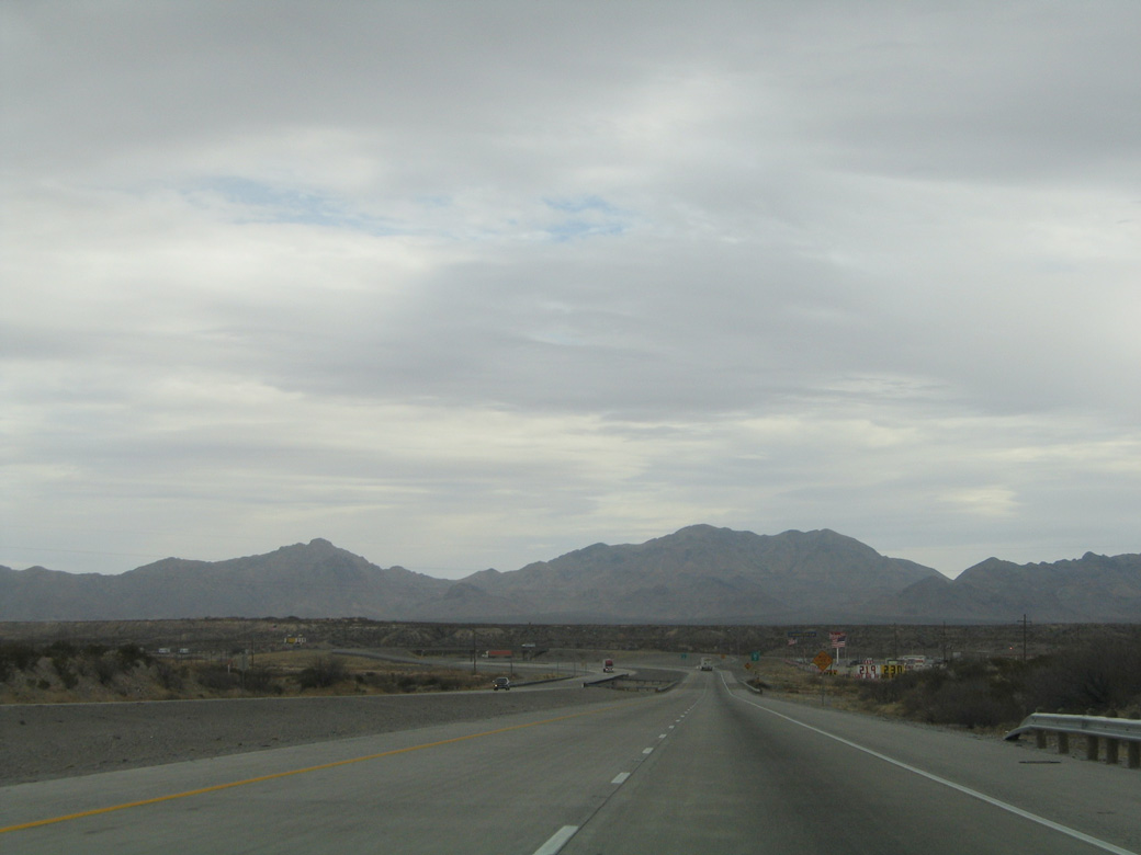
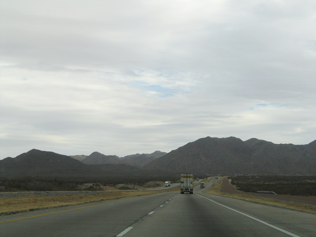
| Nearly out of the El Paso metropolitan area, IH 10 progresses 98 miles southeast toward the Culberson County seat of Van Horn. San Antonio is a mind numbing 548 miles away from this point. 01/14/06 |
|
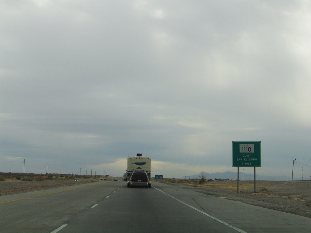
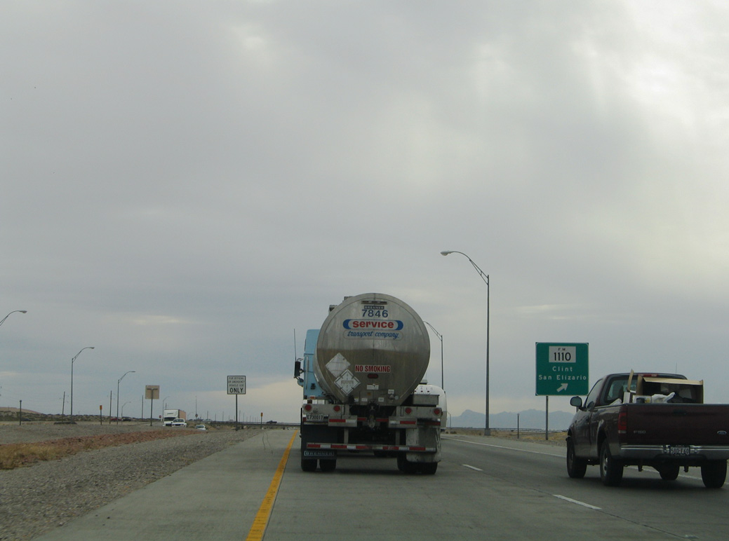
| The eastern leg of FM 1110 (Clint-San Elizario) connects with IH 10 at Exit 42 with Darrington Road on the southern outskirts of Socorro. 01/14/06 |
|
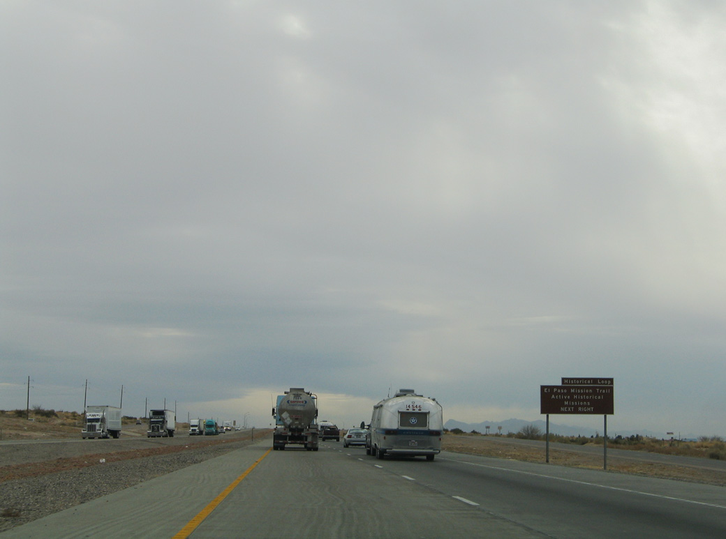
| Exit 42 serves the south end of the El Paso Mission Loop. The nearby town of Clint was established in the early 1880s and named for Mary Clinton Collins.1 01/14/06 |
|
| Exit 42 departs IH 10 east for FM 1110 west to Clint and Darrington Road north to Horizon City. FM 1110 is a 6.10 mile route west to FM 78 (N Loop Drive), SH 20 (old U.S. 80) and FM 258 at San Elizario. 01/14/06 |
|
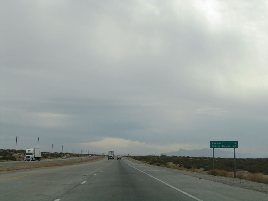
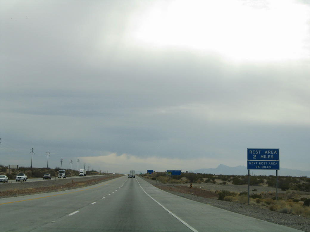
| The unincorporated community of Fabens represents the succeeding exit along IH 10 east. Sierra Blanca, seat of Hudspeth County, is 62 miles away. 01/14/06 |
|
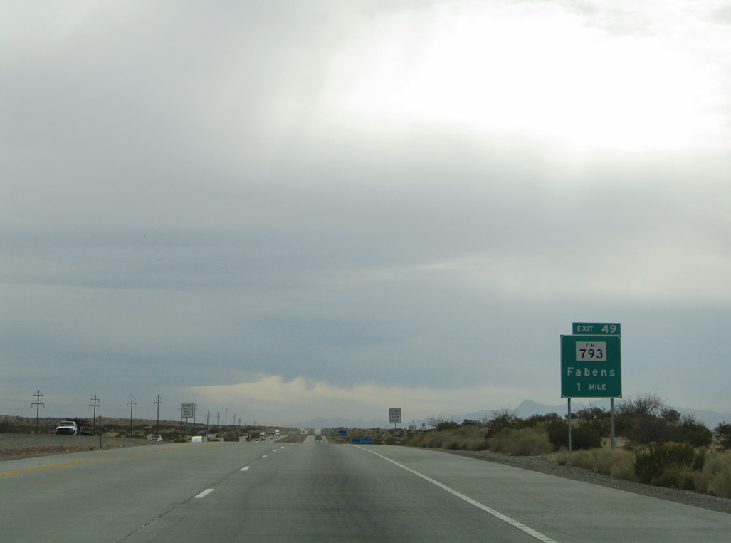
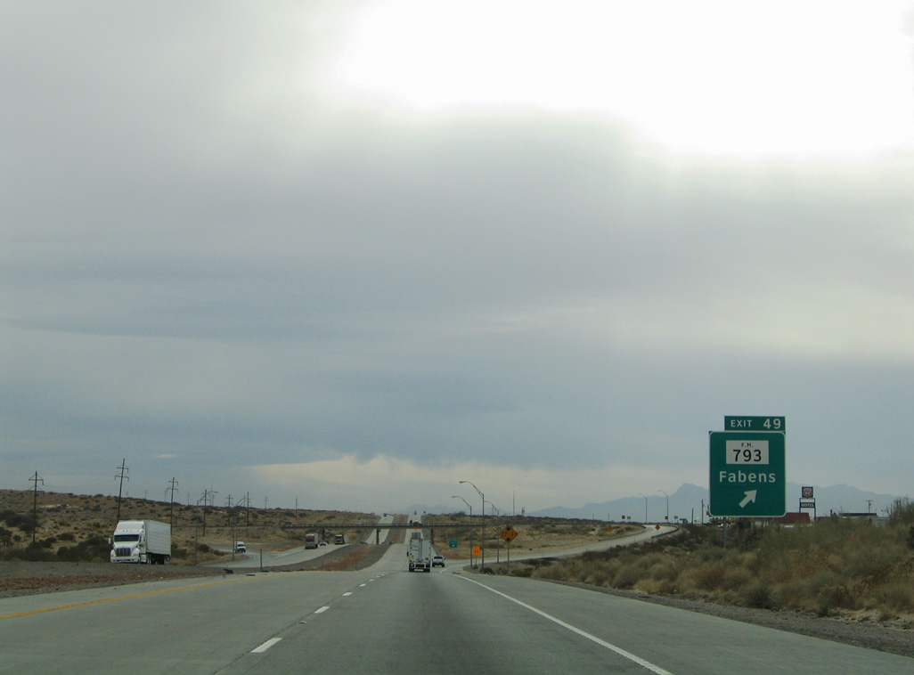
| FM 793 (Fabens Road) is a 1.90 mile connector between IH 10 at Exit 49 and FM 76 (Camp Street / Island Road) in Fabens. 01/14/06 |
|
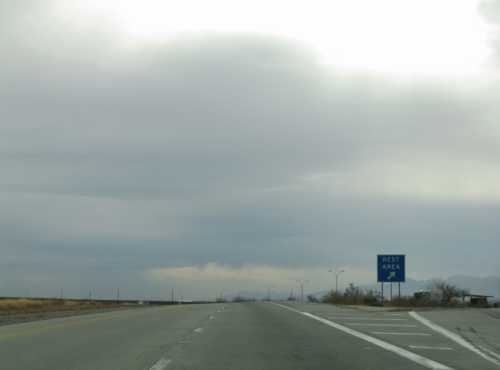
| The first rest area along IH 10 eastbound since the Texas Travel Information Center at Anthony follows the diamond interchange (Exit 49) with FM 793. 01/14/06 |
|
| With the construction of IH 10 in 1959, FM 793 was designated to link the freeway with Fabens. The town was named in 1880 after George Fabens, a Southern Pacific Railroad official.1 01/14/06 |
|
| IH 10 crosses San Felipe Arroyo ahead of the El Paso County Safety Rest Area. 01/14/06 |
|
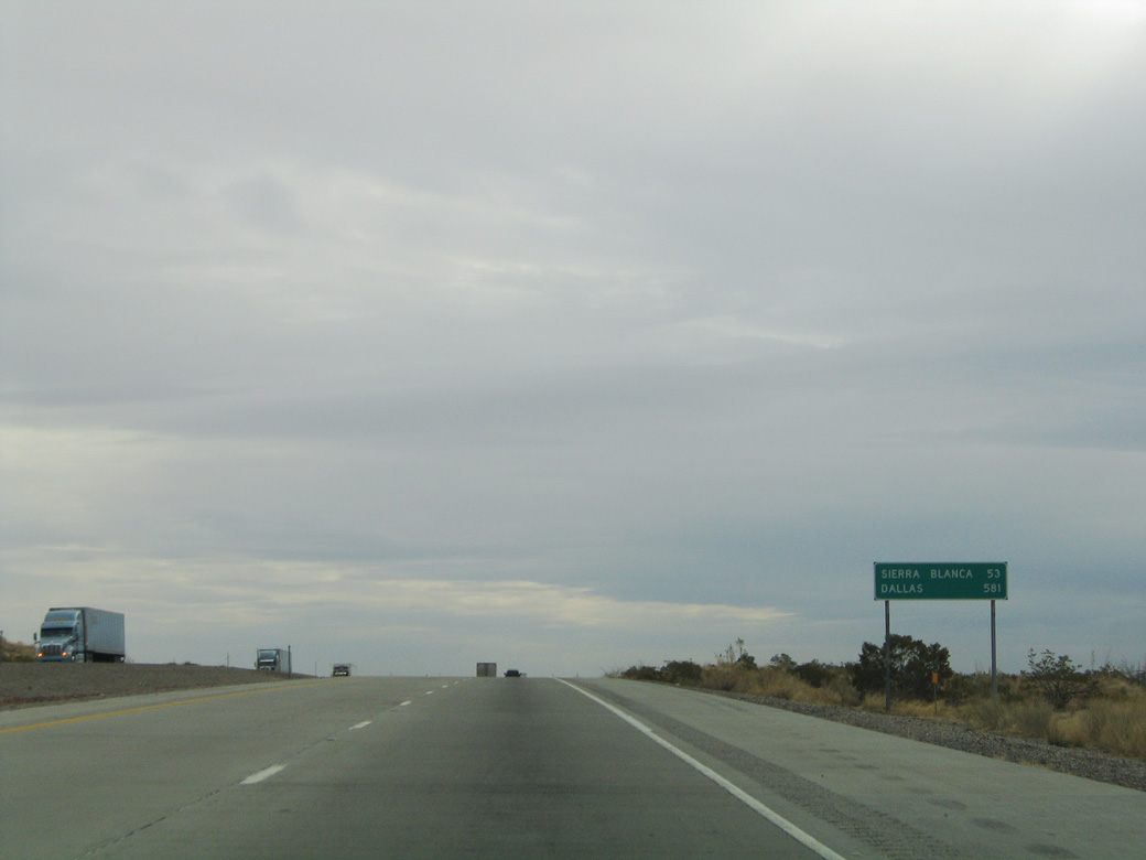
| TxDOT traffic counts recorded in 2017 hold steady in the 20,000 vpd range southeast along IH 10 to Fort Hancock, but then drop off to 15,508 vpd on the 53 mile drive to Sierra Blanca. 01/14/06 |
|
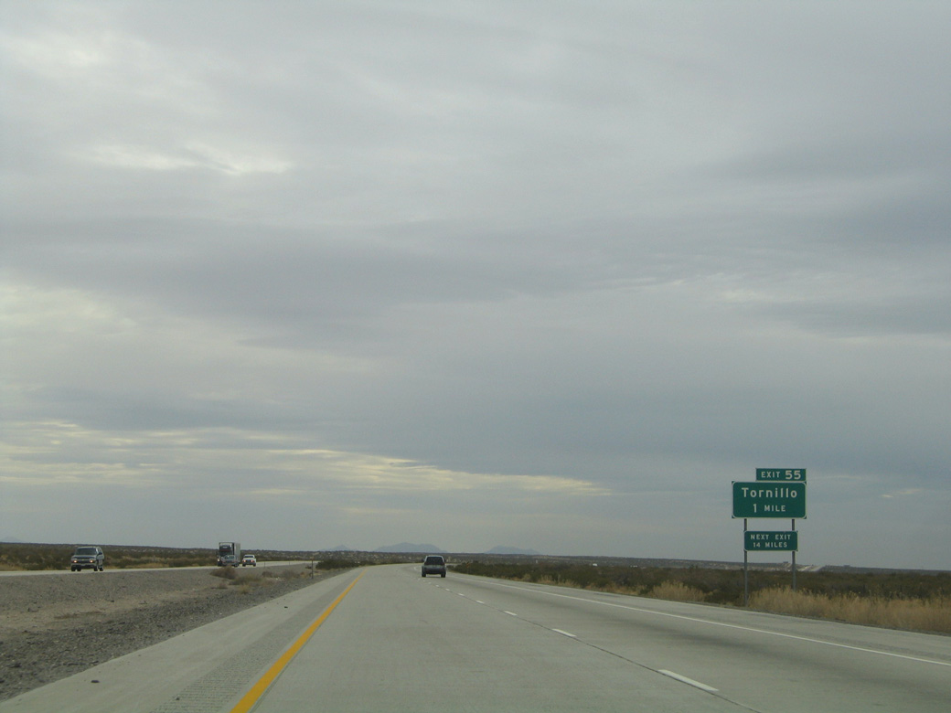
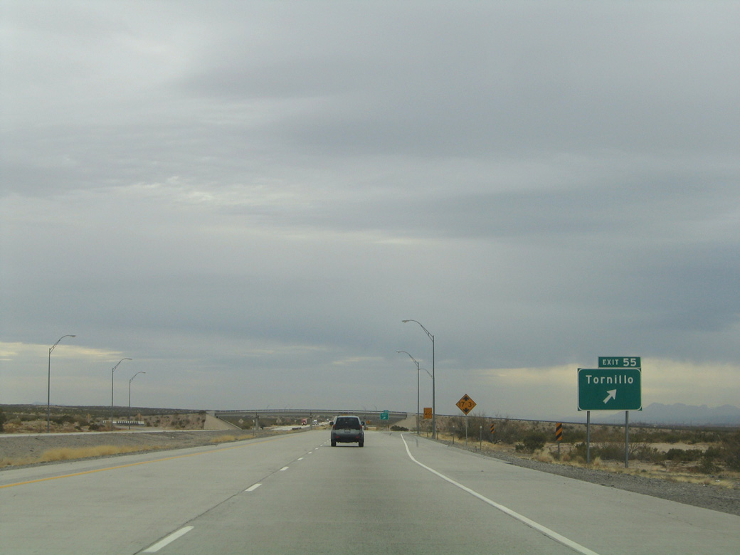
| The ensuing exit is with FM 3380 west to Tornillo and the six lane, Tornillo-Guadalupe international bridge into Mexico. 01/14/06 |
|
| FM 3380 bypasses Tornillo to the north along a 4.50 mile course that includes a grade separated intersection with SH 20 (old U.S. 80). Tornillo was named for the locally grown tornillo bean. Tornillo is the Spanish word meaning screw or vice, which the area bean is shaped like.1 01/14/06 |
|
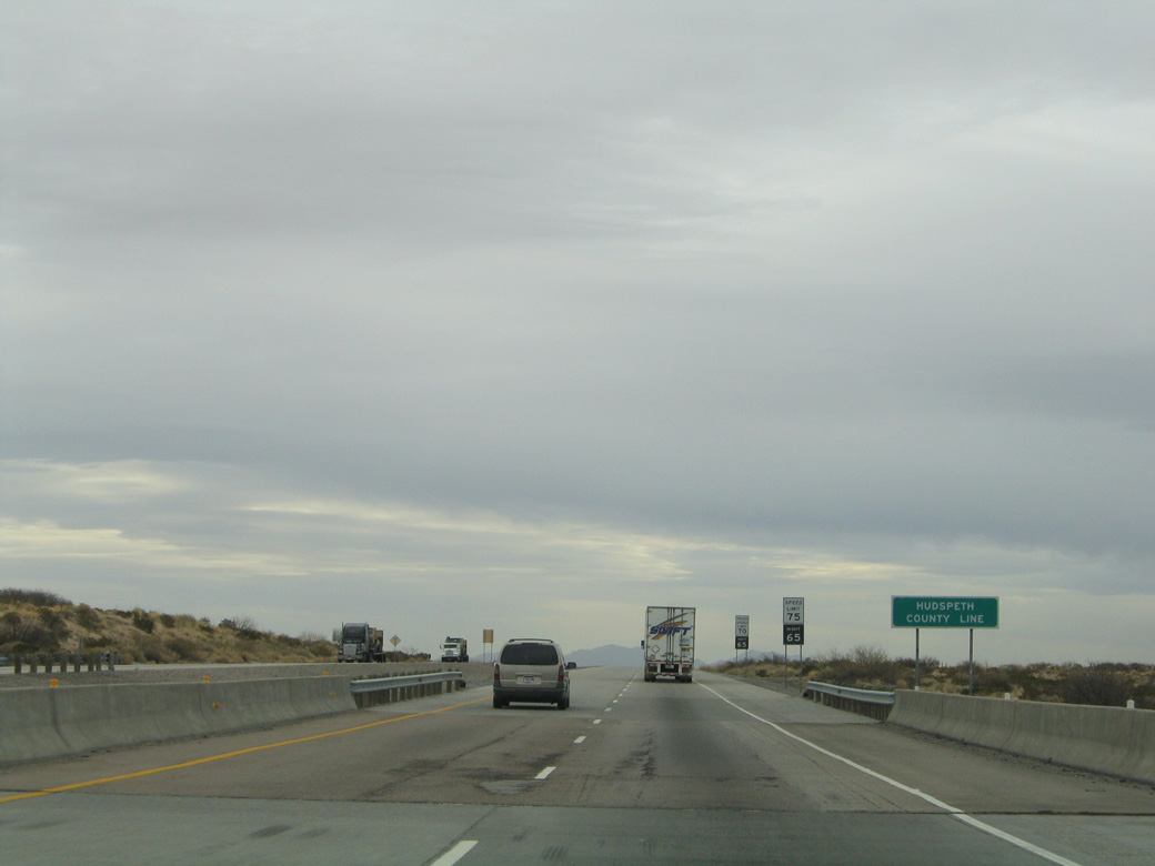
| The westernmost 61.62 miles of IH 10 in the Lone Star State fall within El Paso County. The transcontinental freeway enters Hudspeth County midway between Exits 55 and 68. 01/14/06 |
|
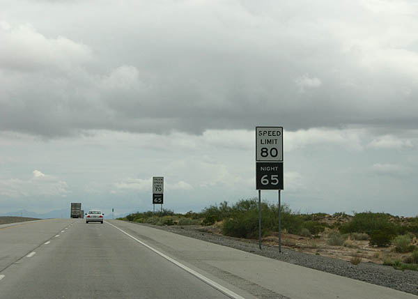
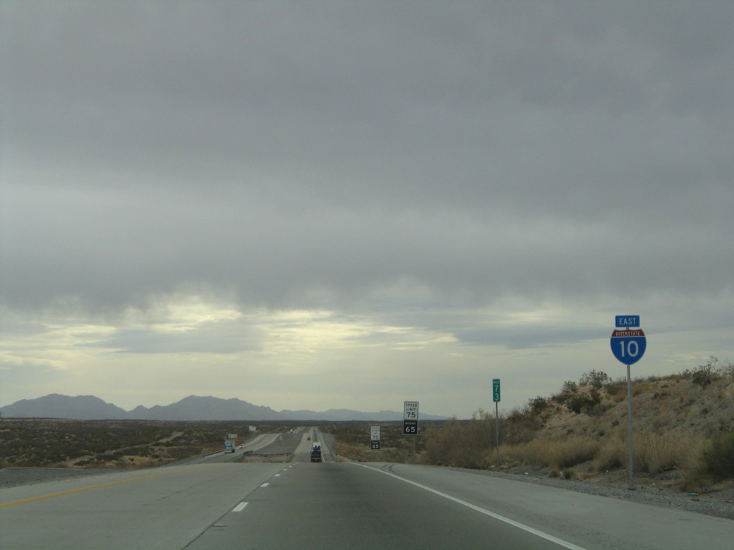
| The speed limit increases to 80 miles per hour along IH 10 for the next 400 miles. 07/31/06 |
|
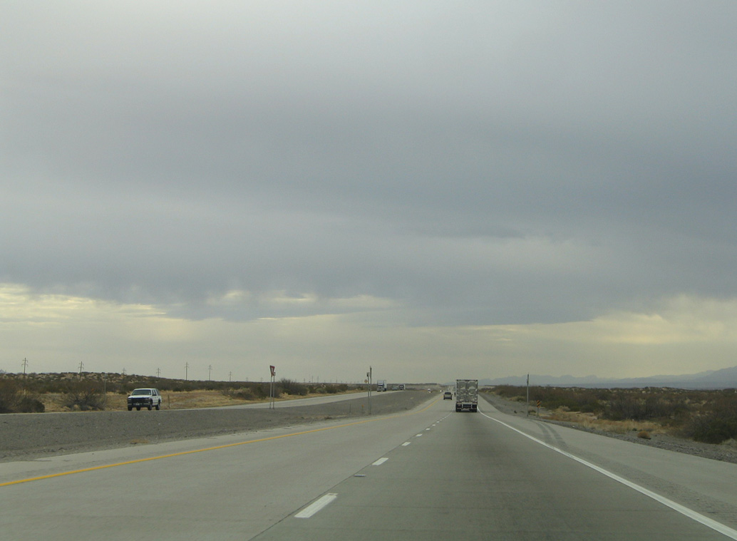
| Through westernmost Hudspeth County, IH 10 traverses desert hills around 200 feet higher in elevation then parallel SH 20 (old U.S. 80) in the Rio Grande Valley. 01/14/06 |
|
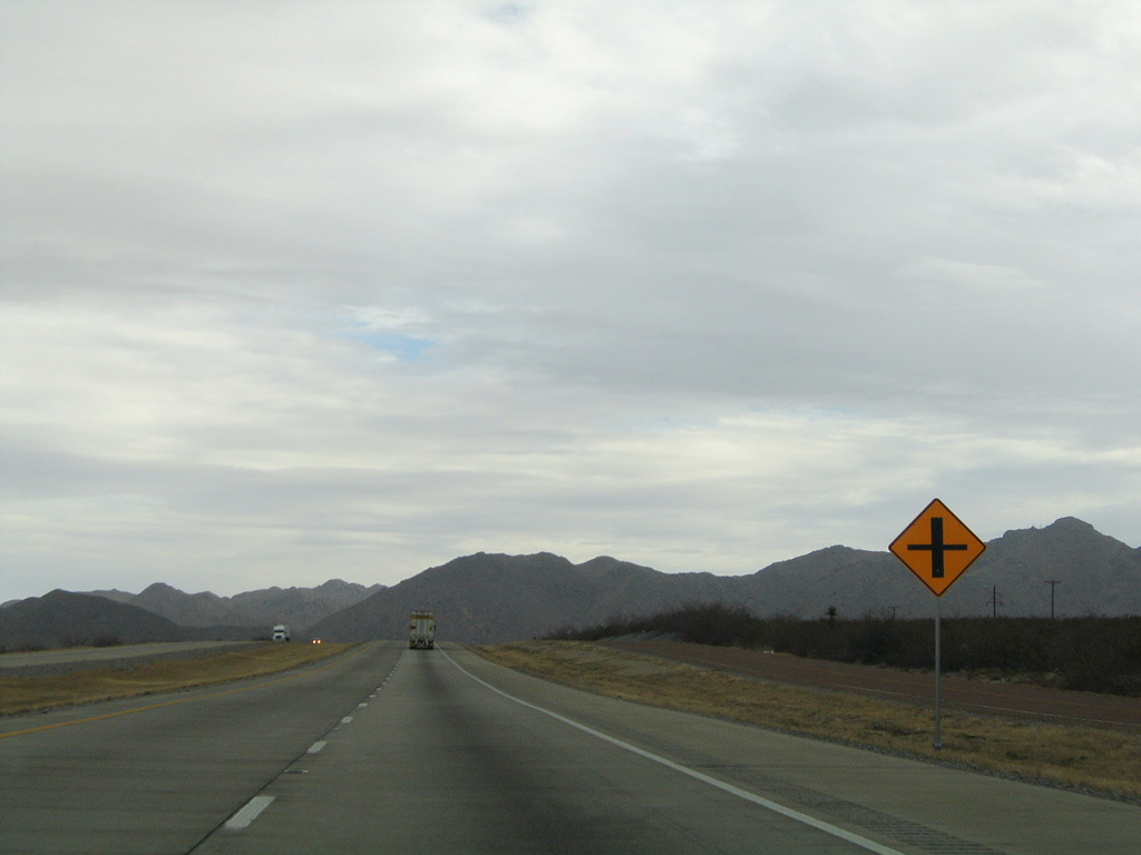
| Active at-grade crossings for remote ranch land are found along IH 10 in West Texas. The first is located near mile marker 66 near the UP Railroad siding of Iser. 01/14/06 |
|
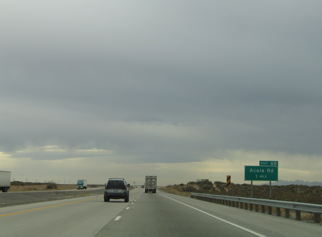
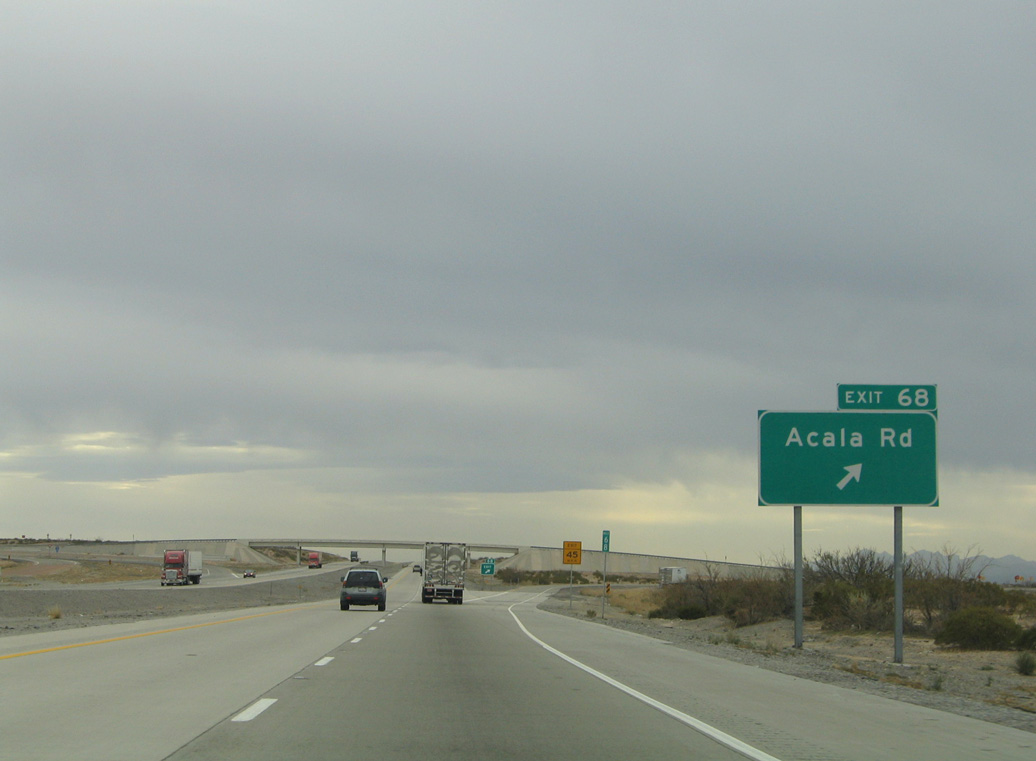
| A diamond interchange (Exit 68) joins IH 10 with Acala Road in one mile. 01/14/06 |
|
| Acala Road heads west from IH 10 to SH 20 (old U.S. 80) at the ghost town of Acala. 01/14/06 |
|
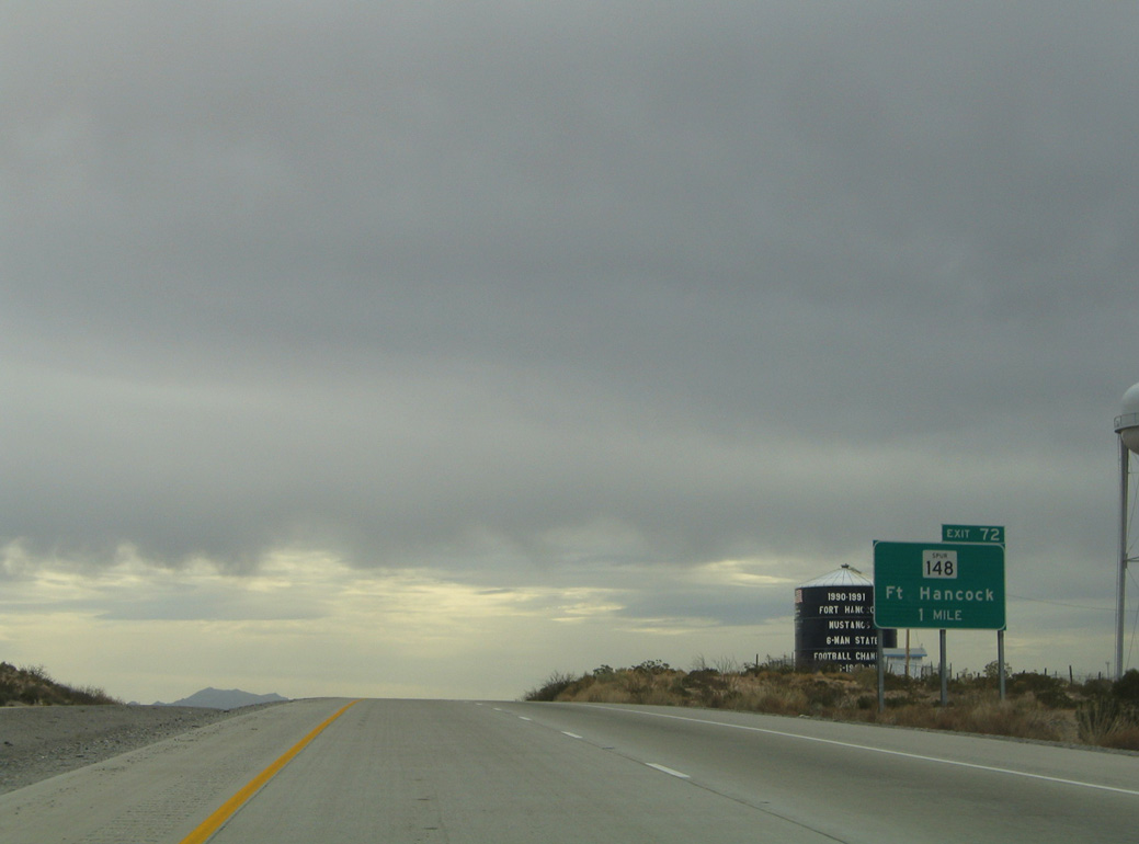
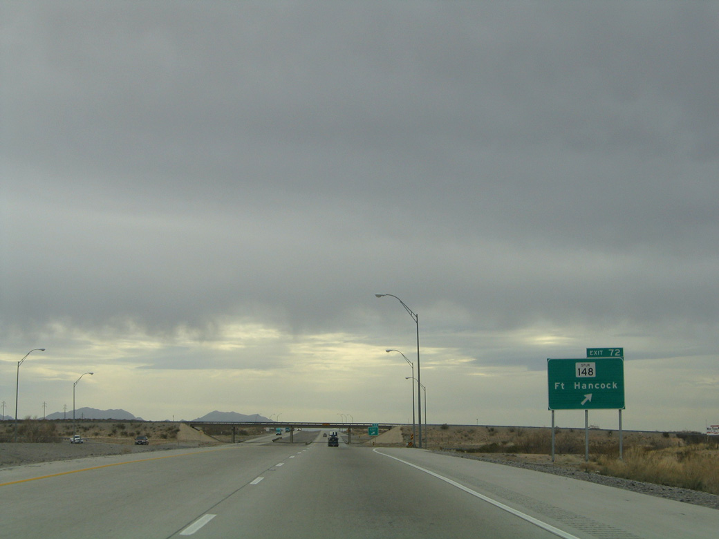
| Advancing southeast, IH 10 meets Spur 148 (Knox Avenue) south to the community of Fort Hancock in one mile. The ruins of Fort Hancock can be reached by this exit. 01/14/06 |
|
| SS 148 is a 1.44 mile link from IH 10 and McGuire Road at Exit 72 to SH 20 (old U.S. 80). Fort Hancock was a military post named in 1882 after it's first commander, General Winfield Scott Hancock.1 01/14/06 |
|
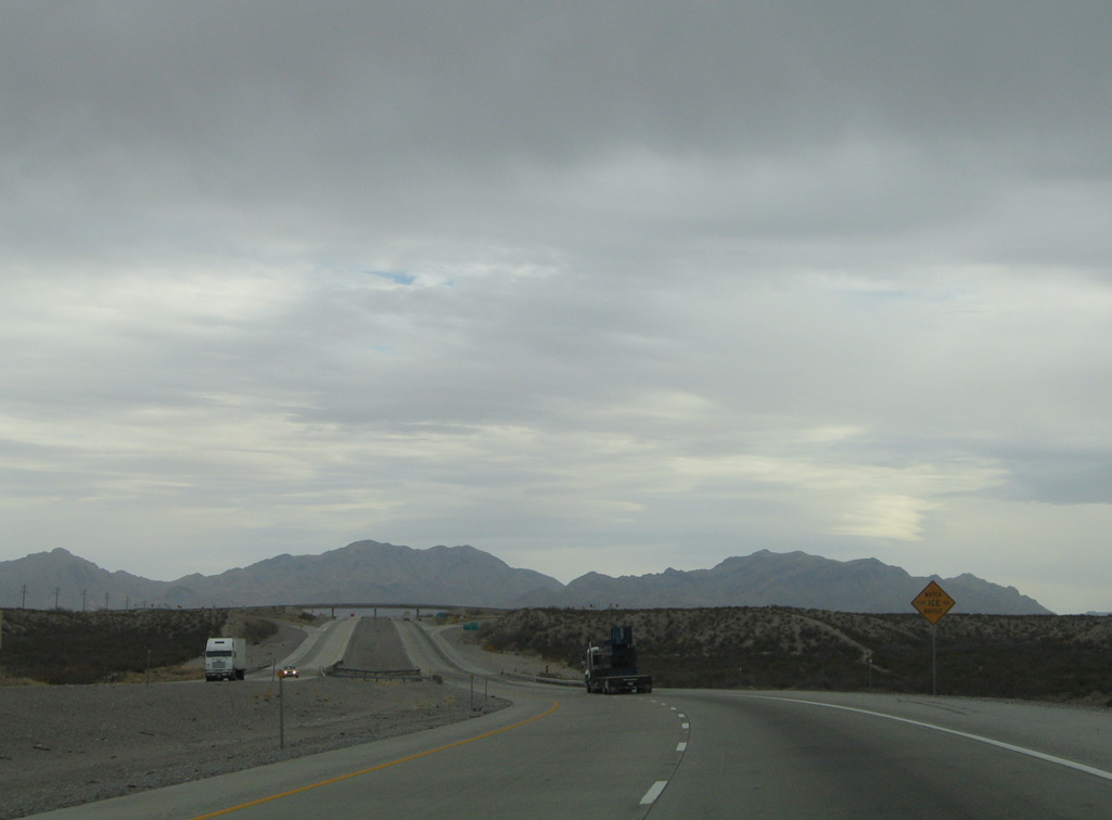
| The Quitman Mountains are omnipresent along the southeastern horizon as IH 10 progresses toward the end of agricultural areas within the Rio Grande valley. 01/14/06 |
|
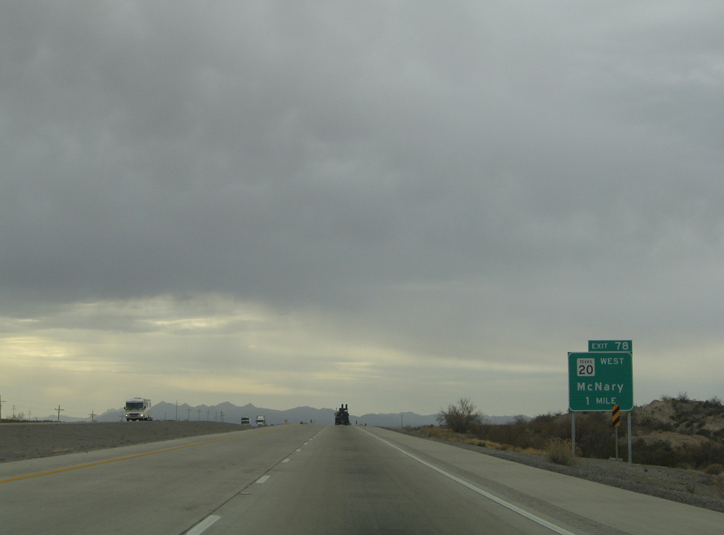
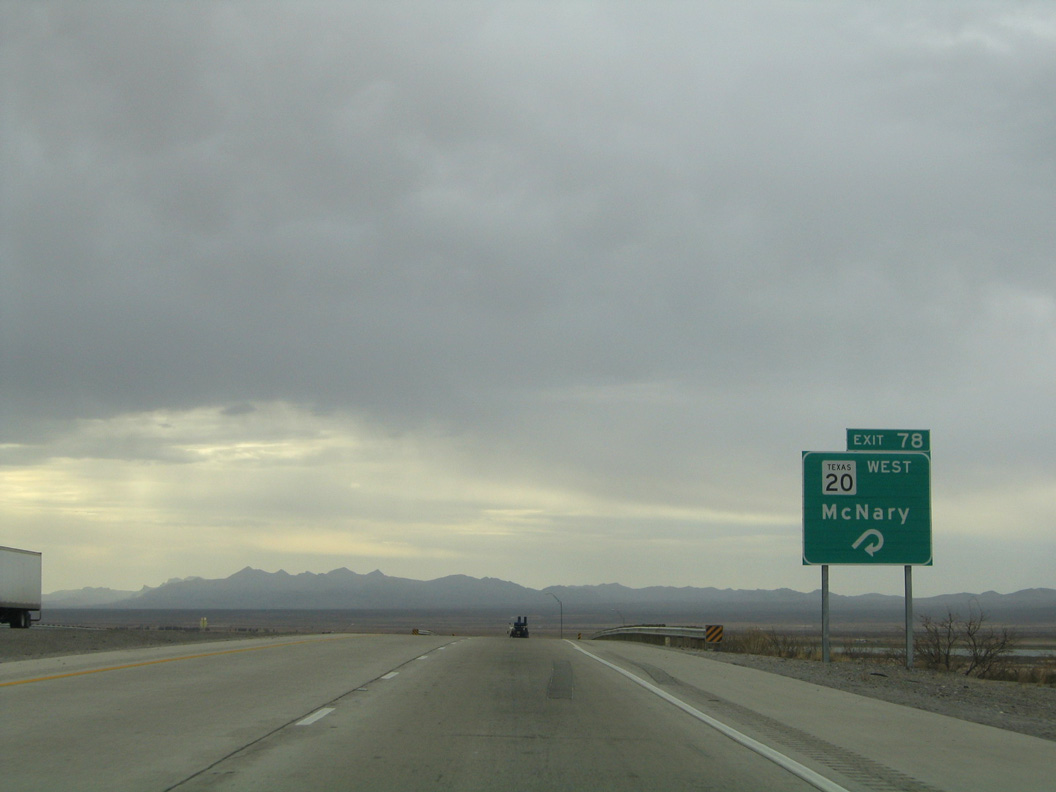
| IH 10 converges with SH 20 in two miles at a folded diamond interchange (Exit 78) across from a Union Pacific Railroad. 01/14/06 |
|
| SH 20 travels west from Exit 78 to the settlement of McNary. The rural community was named in the mid-1920s to honor El Paso banker James M. McNary. It was previously founded in 1910 as Nulo, a Spanish word meaning null or void.1 01/14/06 |
|
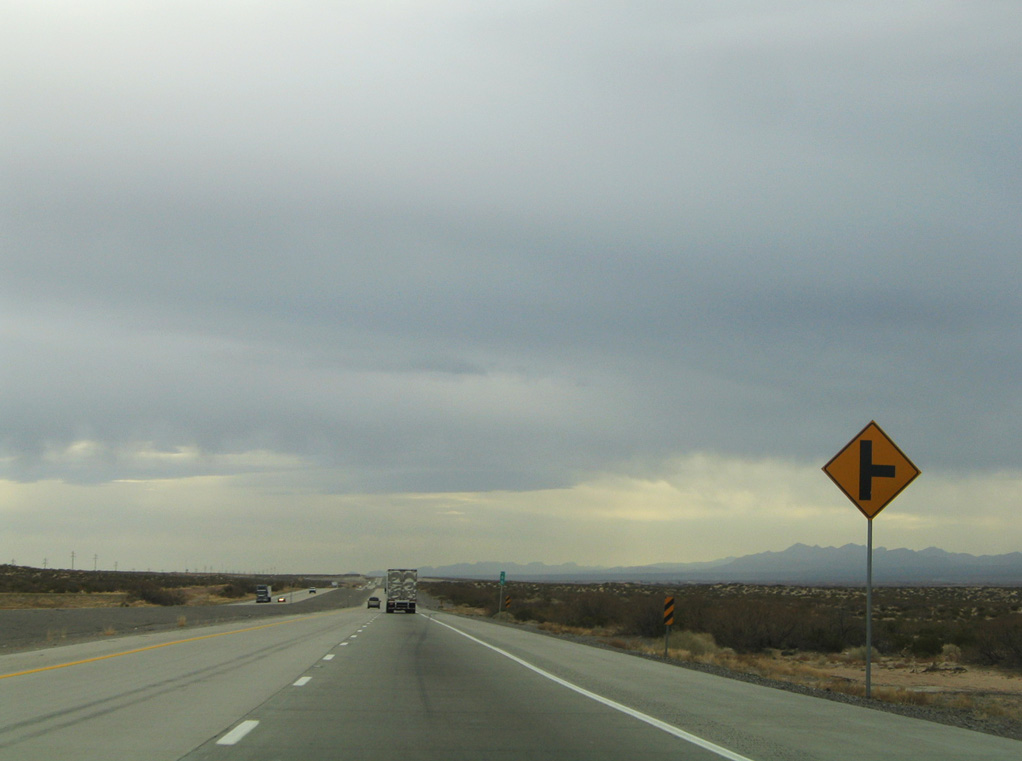
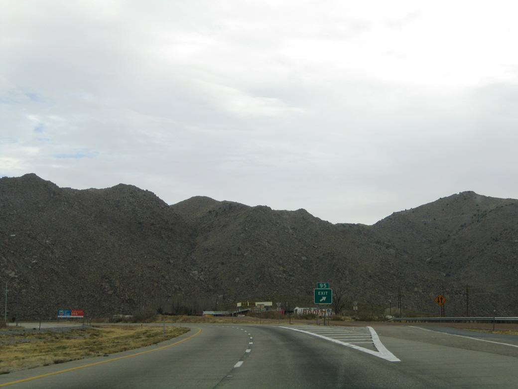
| Exit 72 marks the south end of SH 20, a 77.86 mile long highway following historic U.S. 80 from the New Mexico state line in Anthony. 01/14/06 |
|
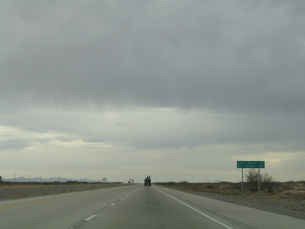
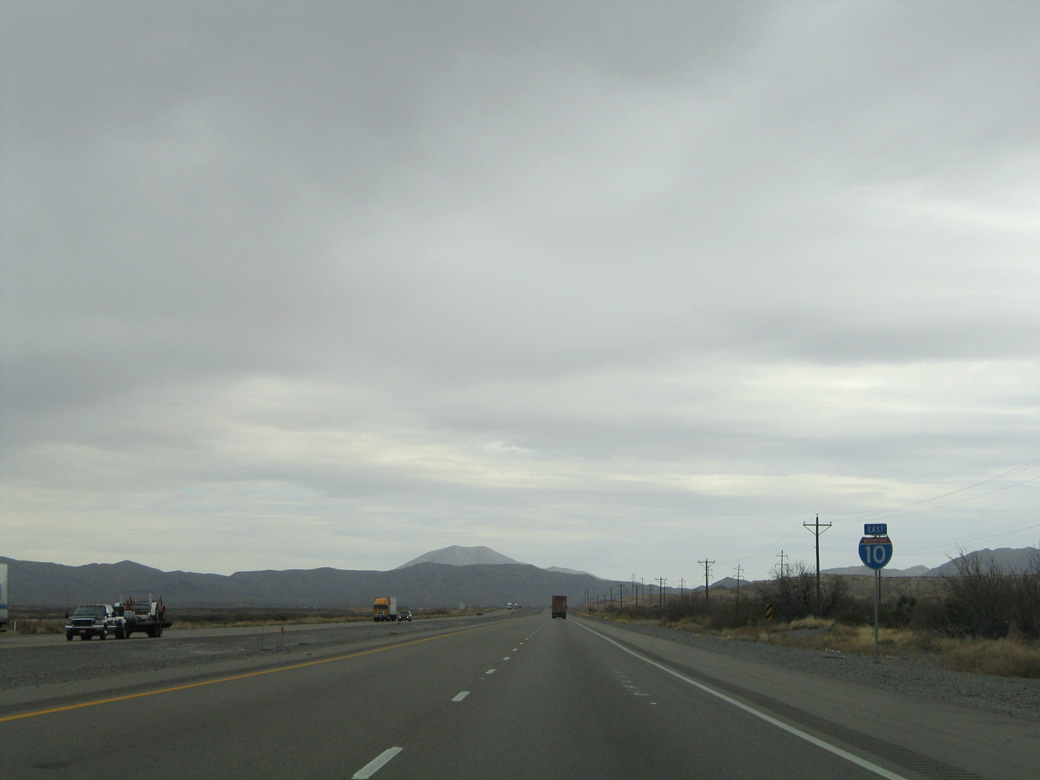
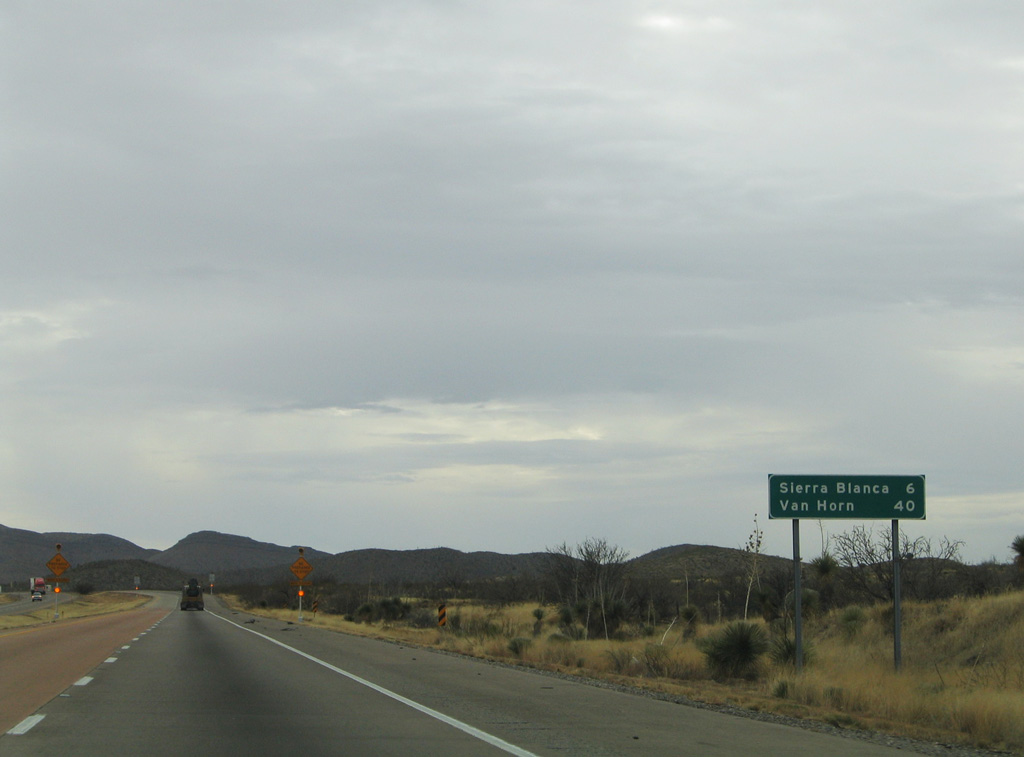
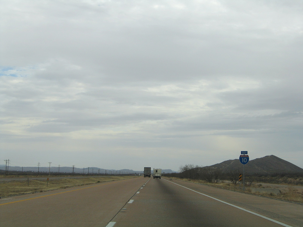
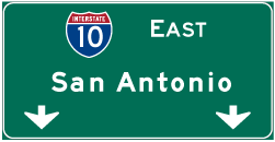
| Heading away from McNary, IH 10 makes a gradual easterly turn away from the Rio Grande en route to Sierra Blanca (27 miles) and San Antonio (510 miles). 01/14/06 |
|
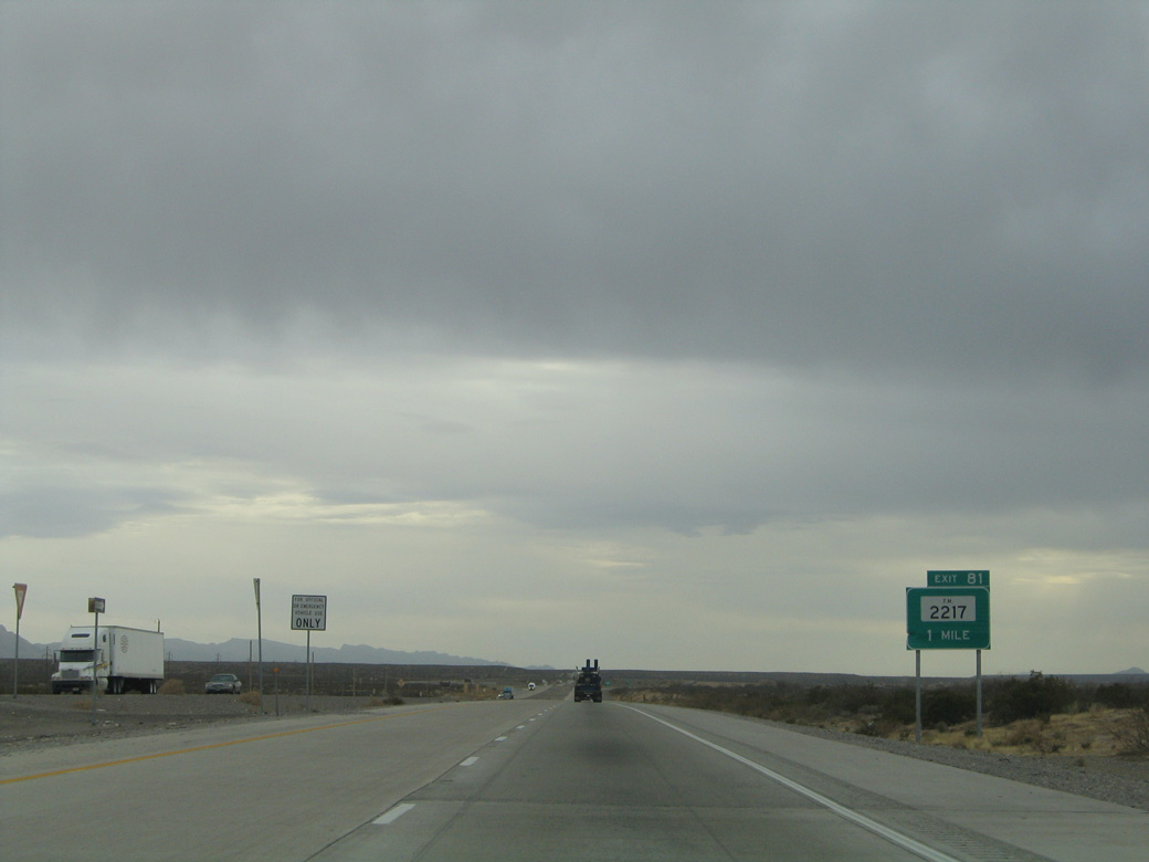
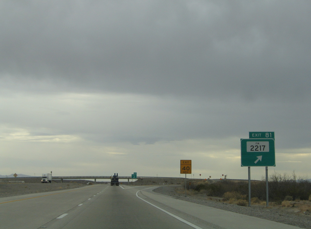
| One mile ahead of Exit 81 for FM 2217 on IH 10 at Madden Arroyo. 01/14/06 |
|
| FM 2217 comprises a 1.26 mile link from Exit 81 to FM 192. FM 192 parallels the Rio Grande to the west across farm land to the settlement of Esperanza. 01/14/06 |
|
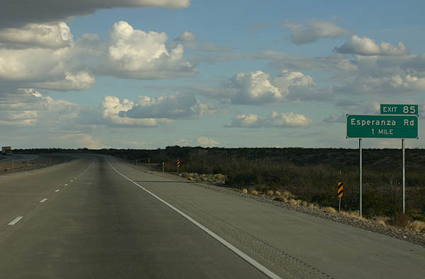
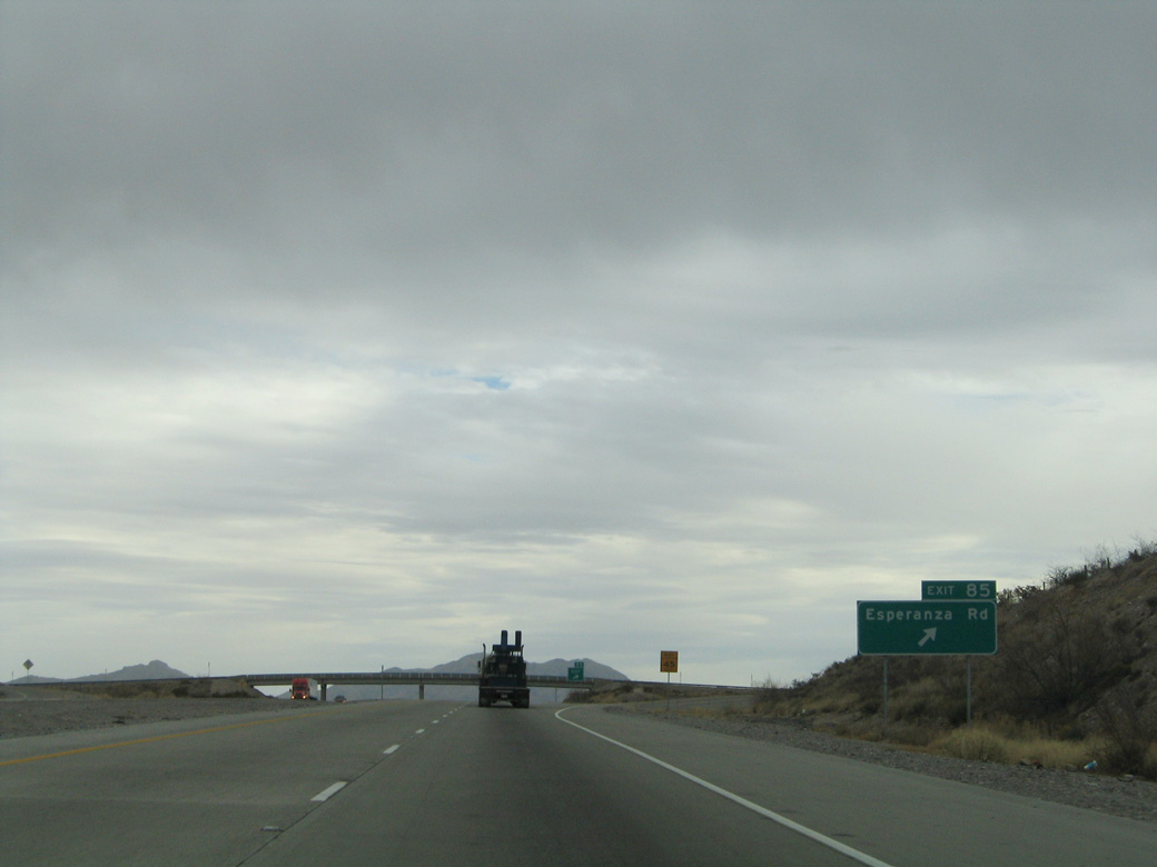
| Esperanza Road meets Interstate 10 at a diamond interchange (Exit 85) by Macho Reservoir No. 1. 02/27/05, 01/14/06 |
|
| Esperanza Road is an unpaved road meandering south to FM 192 at Esperanza and northeast to the ghost town of Finlay. 01/14/06 |
|
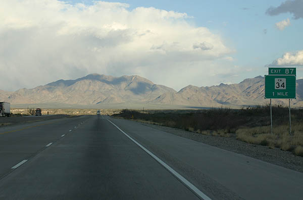
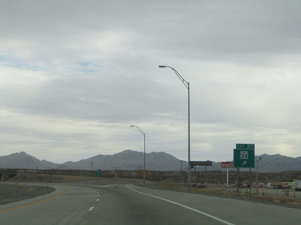
| One mile ahead of Exit 87 with Spur 34 south on IH 10 eastbound. 02/27/05 |
|
| Spur 34 parallels Arroyo Balluco south from Exit 87, 2.61 miles to FM 192. FM 192 extends south from FM 192 to the ruins of Fort Quitman. 01/14/06 |
|
| Sierra Blanca (el. 6,891 feet) rises along the eastern horizon beyond this confirming marker at Exit 87. 01/14/06 |
|
| Continuing east toward the Malone Mountain range, IH 10 intersects another ranch access road near mile marker 93. 01/14/06 |
|
| A slip ramp departs at Exit 95 for the adjacent frontage road (old U.S. 80) along the S-curve taking IH 10 between the Malone and Quitman Mountains. 01/14/06 |
|
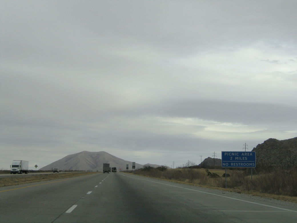
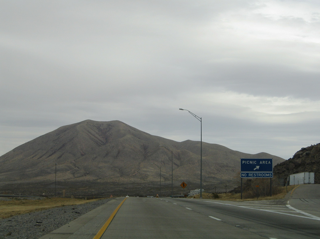
| Picnic areas line both sides of IH 10 two miles east of Exit 95. 01/14/06 |
|
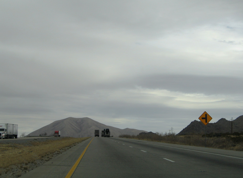
| At-grade access to remote areas east of the Malone Mountains ties into the north side of IH 10 ahead of mile marker 97. A truck climbing lane was added along this stretch in 2013. 01/14/06 |
|
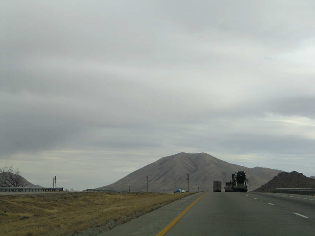
| Crossing Skunk Canyon, IH 10 advances to the intersection with Skunk Canyon Road south. 01/14/06 |
|
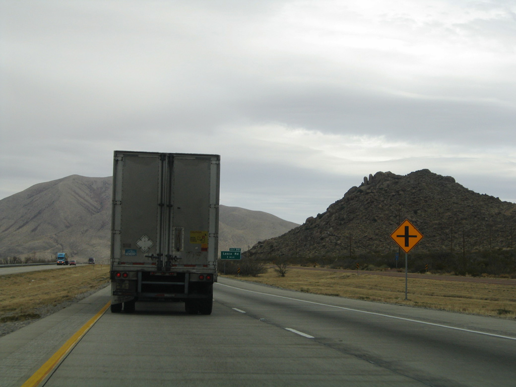
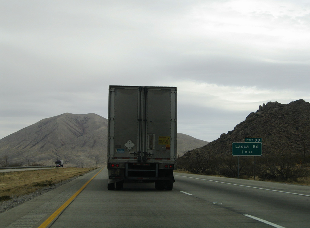
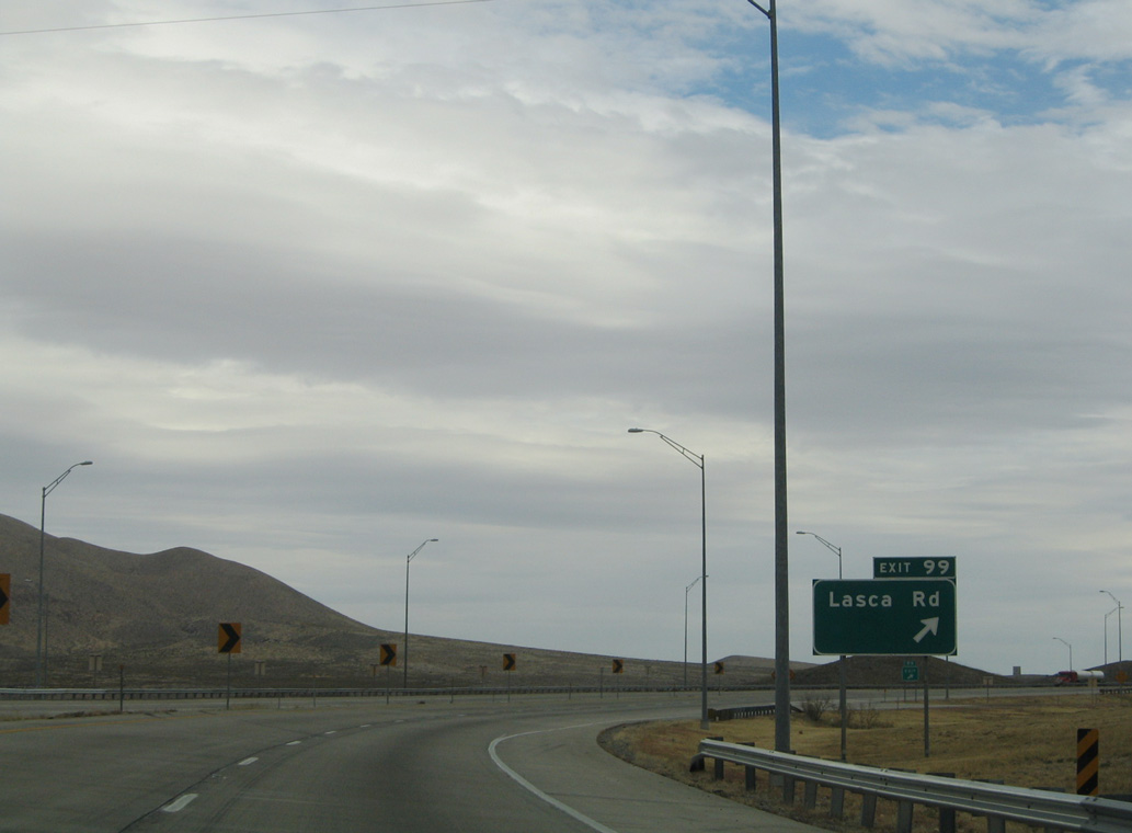
| A modified diamond interchange (Exit 99) joins IH 10 with Lasca Road, one mile east of Skunk Canyon Road. 01/14/06 |
|
| The picnic areas preceding Exit 99 overlook a valley with the dry bed of Lasca Branch west of Sierra Blanca peak. 01/14/06 |
|
| Lasca Road is an unpaved road arcing northwest from Exit 99 and old U.S. 80 to the Union Pacific Railroad siding of Small. 01/14/06 |
|
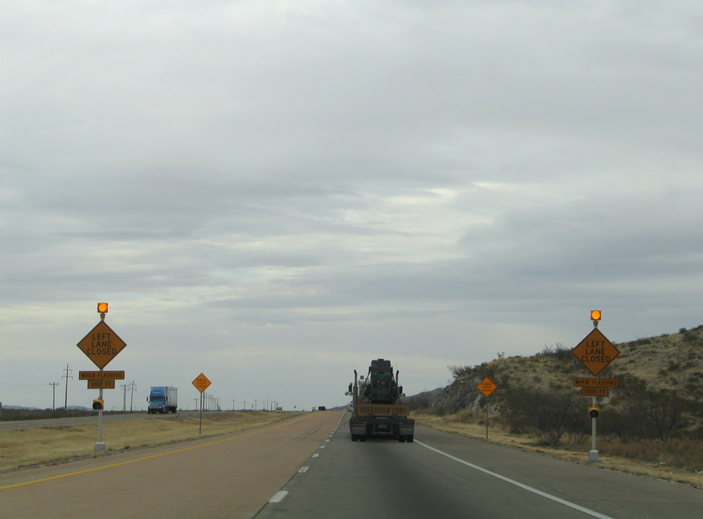
| The ensuing stretch of IH 10 east toward Sierra Blanca is prone to strong gusty winds. 01/14/06 |
|
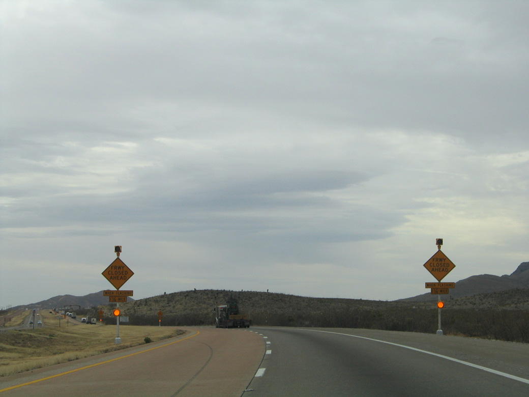
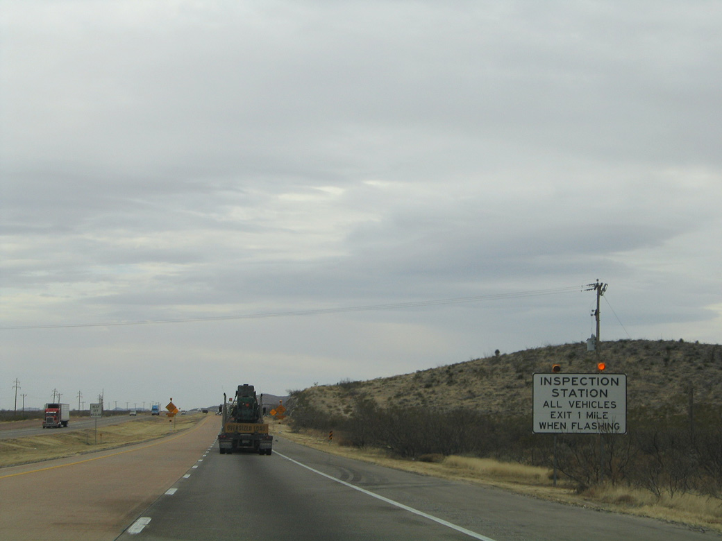
| A US Border Patrol Checkpoint operates along IH 10 eastbound between mile marker 103 and 104. 01/14/06 |
|
| An at-grade intersection lies just east of the US Border Patrol Station by the UP Railroad siding of Etholen. 01/14/06 |
|
| Heading toward the unincorporated town of Sierra Blanca, Texan Mountain rises along the south side of IH 10. 01/14/06 |
|
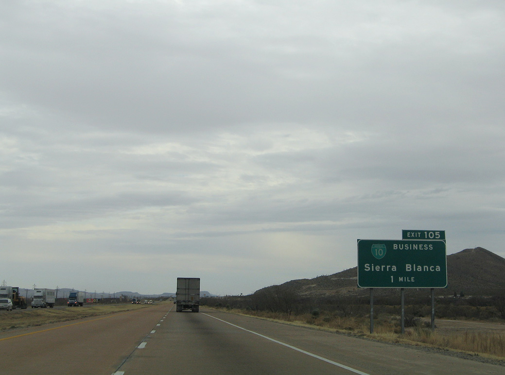
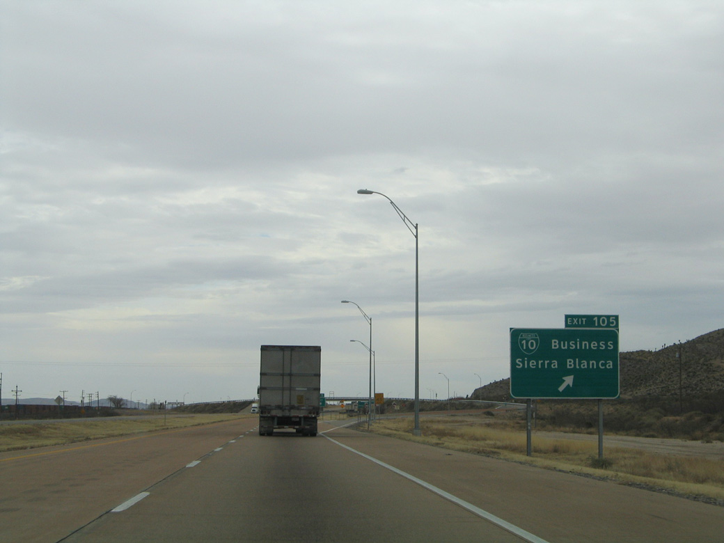
| The first of two exits along IH 10 east for Sierra Blanca is with Business Loop I-10 (El Paso Street). BI-10C is a 2.70 mile route following old U.S. 80 between Exit 105 and Exit 108 (IH 10 westbound). 01/14/06 |
|
| Business Loop I-10C separates from IH 10 at a diamond interchange (Exit 105). Sierra Blanca, named after the nearby mountains, was the juncture point of the Texas & Pacific and Southern Pacific Railroad in 1881. 01/14/06 |
|
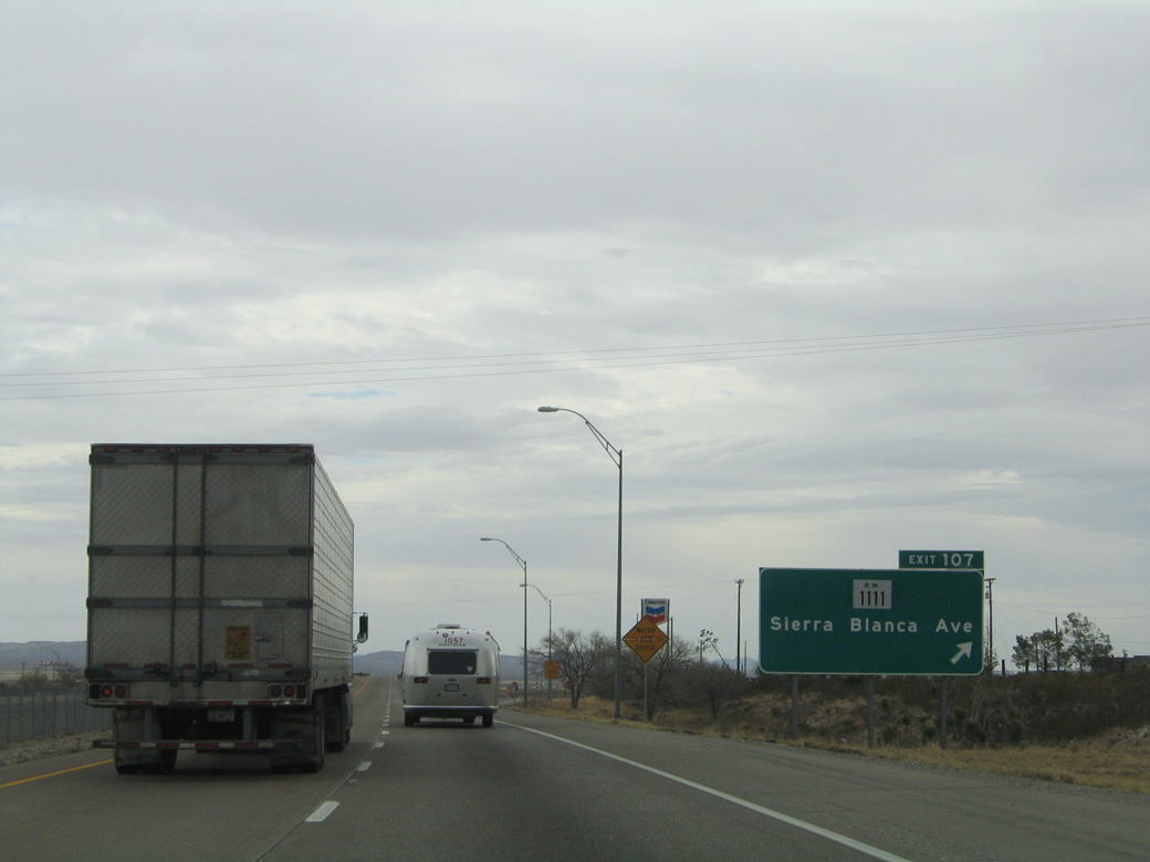
| FM 1111 runs 42.35 miles north from IH 10 at Sierra Blanca to U.S. 62/180 between Cornudas and Salt Flat. 01/14/06 |
|
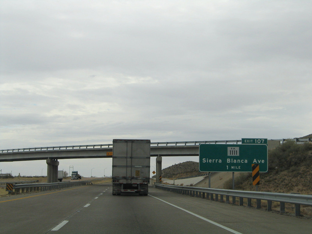
| Exit 107 departs IH 10 east for FM 1111 (Sierra Blanca Avenue) and Downtown Sierra Blanca. FM 1111 spurs 4.84 miles south from the community of over 500 to Cowan and Indian Hot Springs Road by Fivemile Point, off Yucca Mesa. 01/14/06 |
Page Updated 07-18-2019.

 East
East