Business Loop I-10 within the town of Quartzsite follows Old U.S. 60/70 (Main Street) and part of U.S. 95 along Main Street north of Interstate 10. 2.94 miles in length, only the western 0.32 miles and eastern 0.62 miles are state maintained. This includes the overlap with U.S. 95 between the diamond interchange at Exit 17 and SR 95 along Central Boulevard.
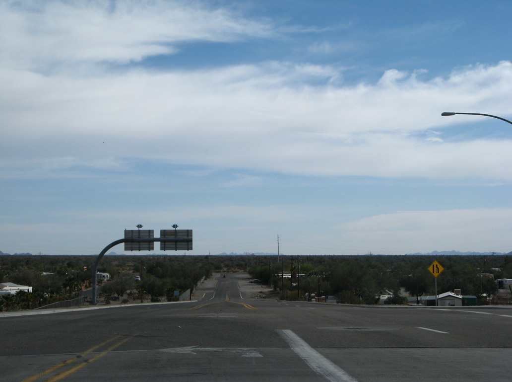
Looping north from Interstate 10 between Exit 17 and 19, the business route through Quartzsite is sparsely signed. Trailblazers are posted at the east end and one mainline shield appears westbound after Riggles Avenue. The remainder is unmarked. Business Loop I-10 is however fully acknowledged along both U.S. 95 (Central Boulevard) north and SR 95 south.
|
| Business Loop I-10/U.S. 95 shift north from the diamond interchange (Exit 17) with Interstate 10 onto W Main Street, the historic alignment of U.S. 60/70 through Quartzsite. 07/07/18 |
|
| Business Loop I-10/U.S. 95 intersect W Main Street and Main Event Way north at a four way stop sign. 07/07/18 |
|
| W Main Street east at U.S. 95/Business Loop I-10 (Quartzsite Avenue) south). 07/07/18 |
|
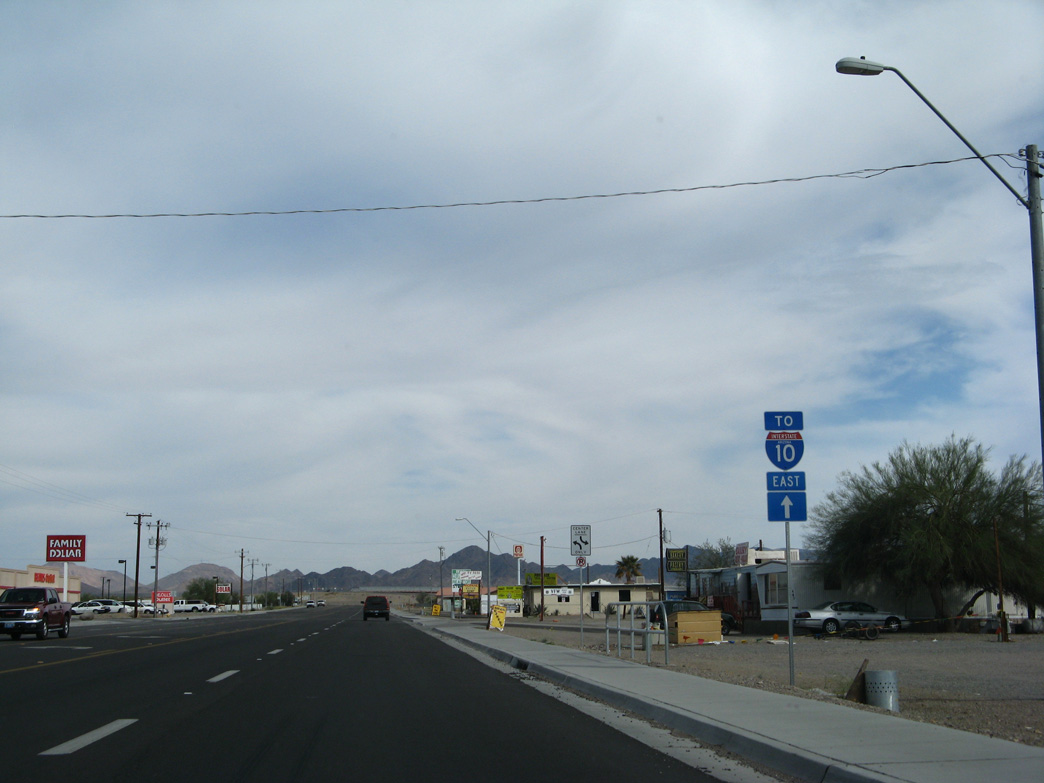
| Trailblazers for U.S. 95/SR 95 are posted in lieu of reassurance markers for Business Loop I-10 and U.S. 95 along Main Street east after Quartzsite Avenue. 07/07/18 |
|
| W Main Street constitutes a five lane commercial boulevard east to Riggles Avenue, which returns Business Loop I-10 south to Interstate 10. 07/07/18 |
|
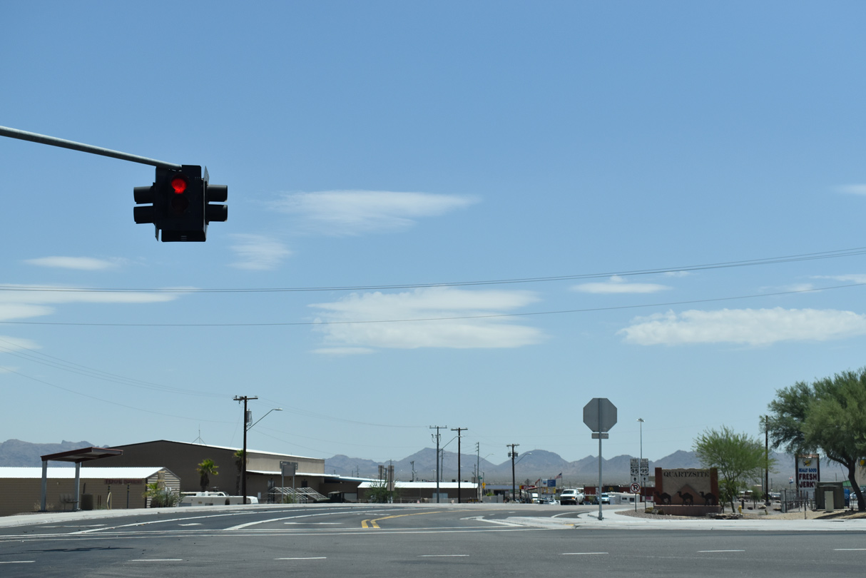
| A HaWK signal operates along W Main Street midway between Quartzsite Avenue and Cemetery Road. 07/07/18 |
|
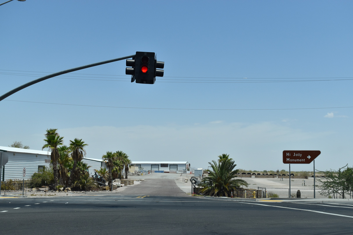
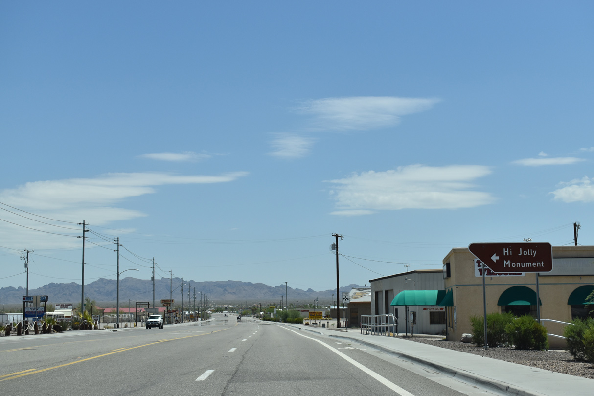
| Cemetery Road links W Main Street with the Hi Jolly Monument. 07/07/18 |
|
| Business Loop I-10 (Main Street) passes by several RV Parks east of N Moon Mountain Avenue. 07/07/18 |
|
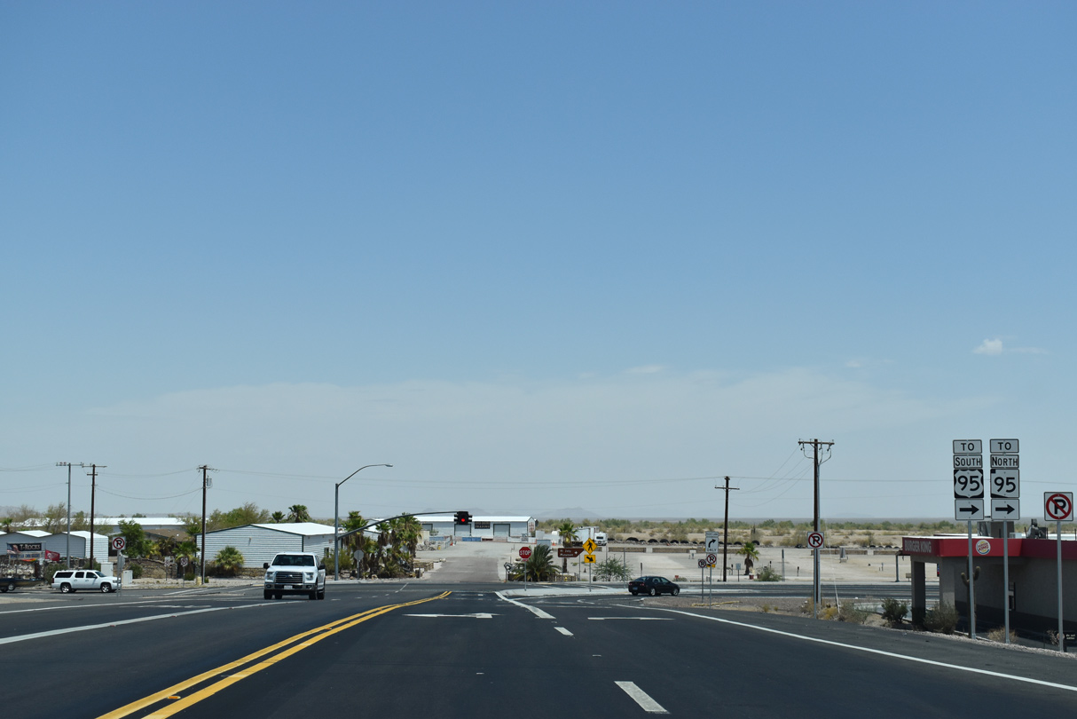
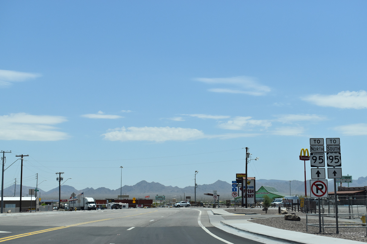
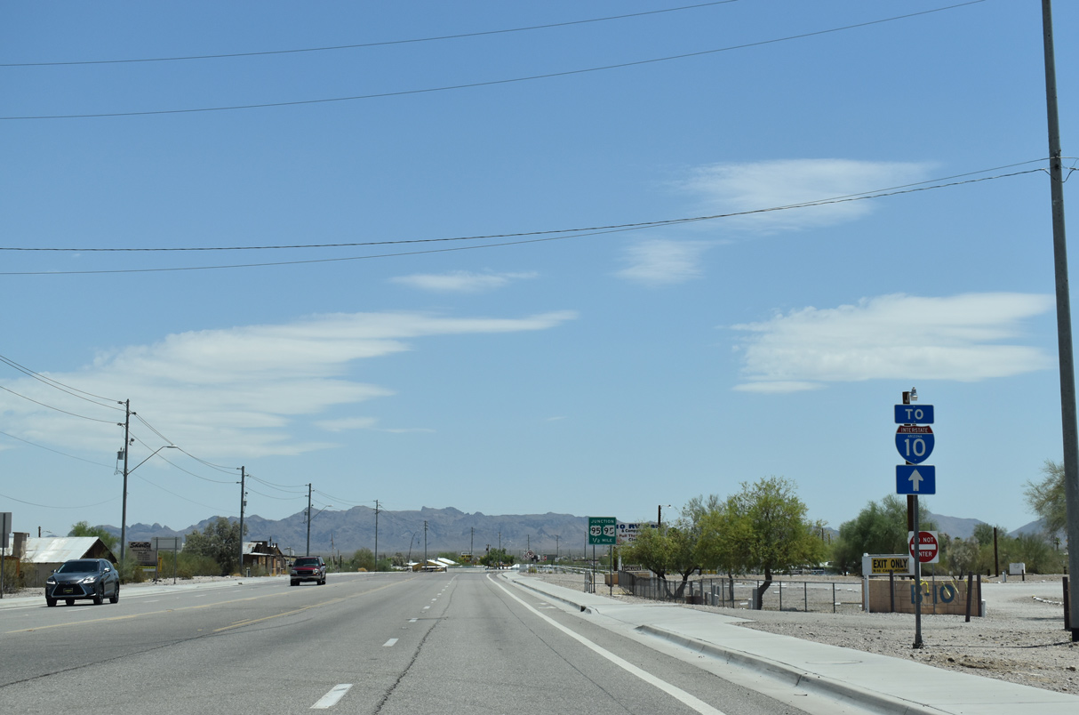
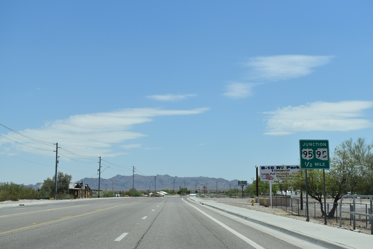
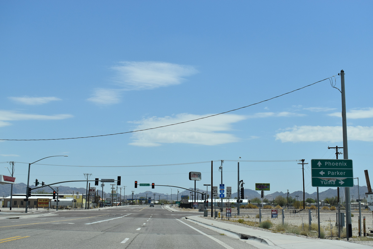
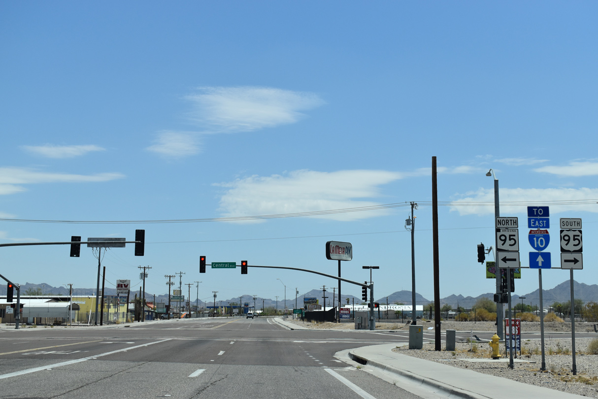
| U.S. 95 turns south from Business Loop I-10 (Main Street) in a half mile at the south end of SR 95 (Central Boulevard). 07/07/18 |
|
| The southern branch of SR 95 travels 92.80 miles north to Interstate 40 at Exit 9 via Parker and Lake Havasu City. 07/07/18 |
|
| Overtaking Central Boulevard south from SR 95, U.S. 95 continues 104.25 miles to the International border with Mexico at San Luis. 07/07/18 |
|
| Continuing east from U.S. 95/SR 95 (Central Boulevard), Business Loop I-10 is unmarked along E Main Street. 03/17/07 |
|
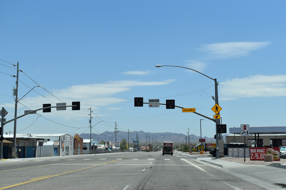
| An I-10 trailblazer precedes the intersection with Palo Verde Avenue, where a HaWK pedestrian signal was installed by 2018. 03/17/07 |
|
| Shifting north through an S-curve, Business Loop I-10 continues to Riggles Avenue. Main Street historically defaulted into the diamond interchange (Exit 19) with Interstate 10. 03/17/07 |
|
| The intersection joining E Main Street and Riggles Avenue was expanded by 2015 with traffic signals added. 03/17/07 |
|
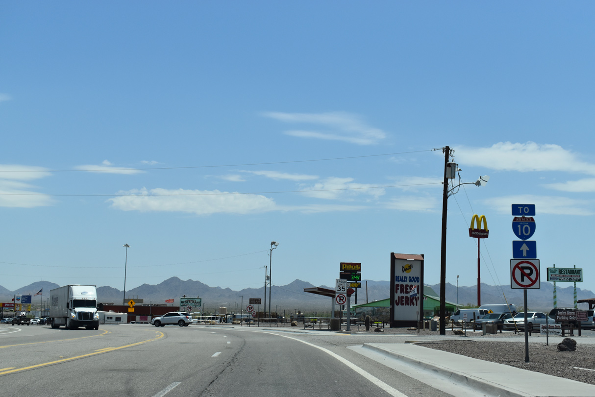
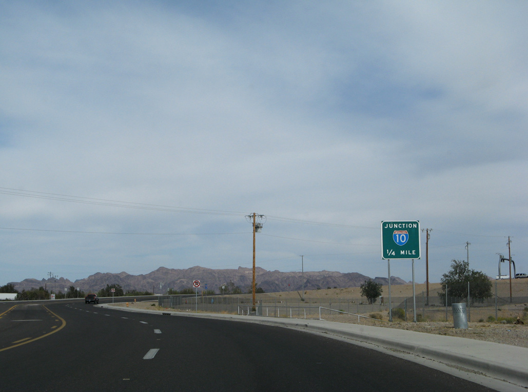
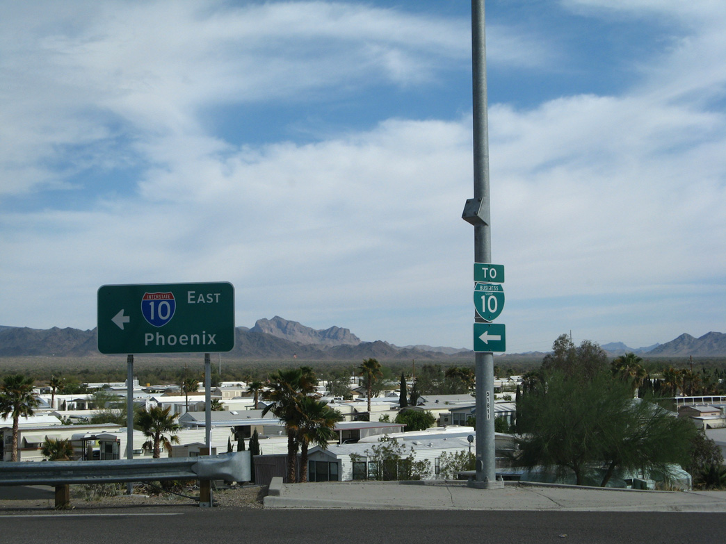
| Business Loop I-10 lines Riggles Avenue 0.20 miles south through the exchange with Interstate 10. 03/17/07 |
|
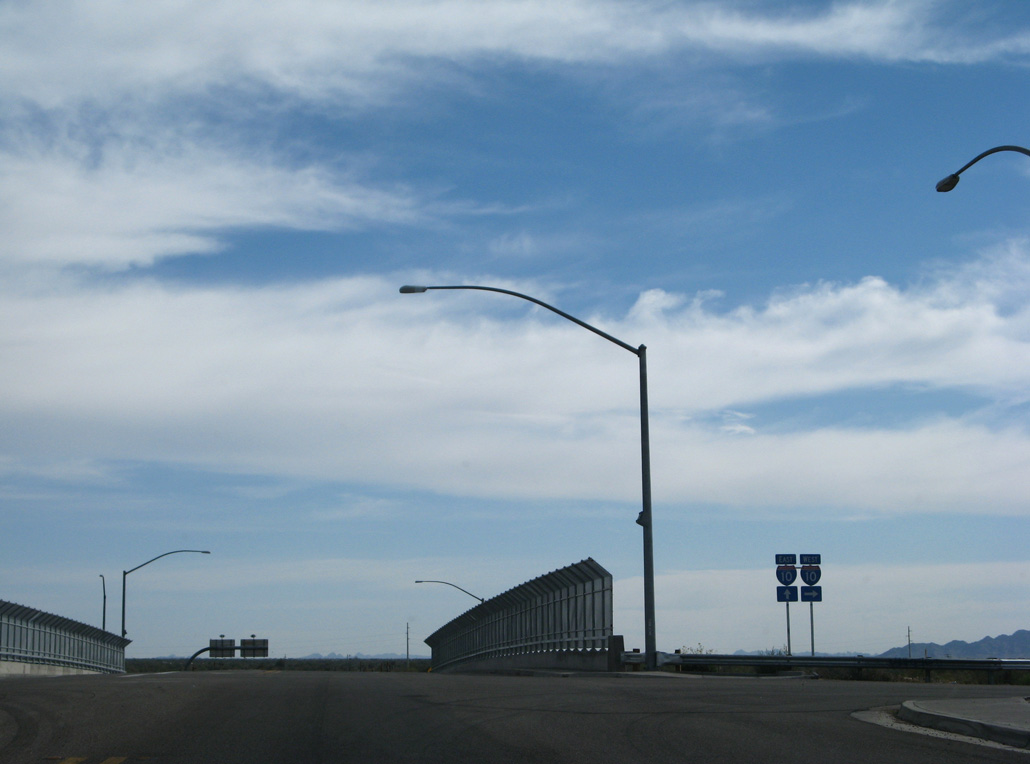
| Interstate 10 passes south of the Quartzsite business district en route to Blythe, California. 03/17/07 |
|
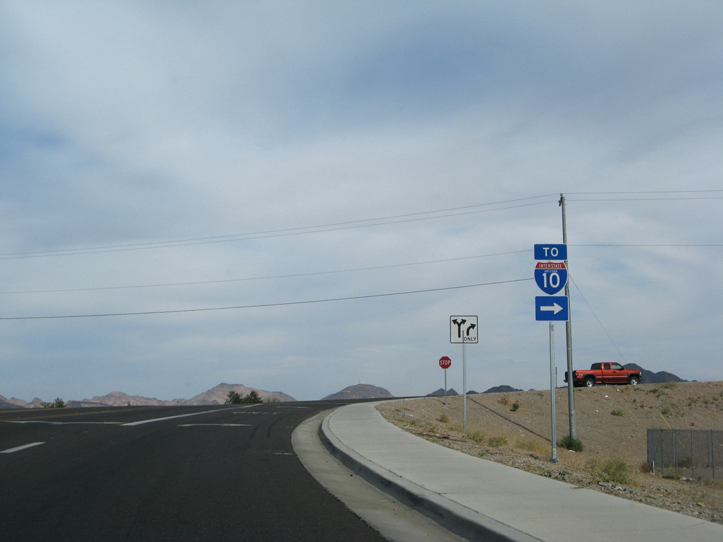
| Riggles Avenue extends south from the end of Business Loop I-10 and eastbound entrance ramp for I-10 to a manufactured home community and several more RV parks. 03/17/07 |
|
| The lone Business Loop shield for I-10 appearing along eastbound is the trailblazer marking the westbound beginning along Riggles Avenue. 03/17/07 |
Page Updated 04-06-2022.


 East
East  South
South