
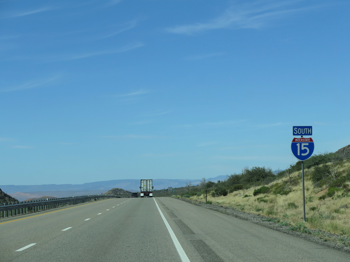
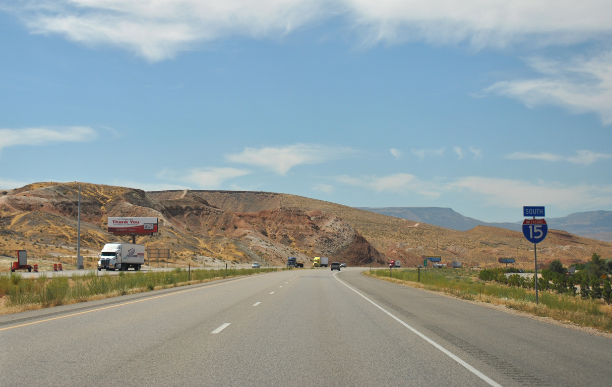
 South
South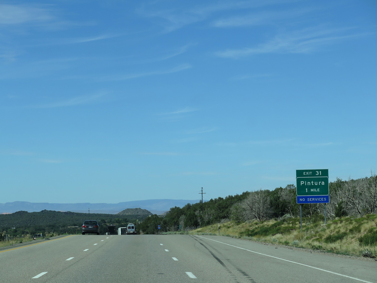
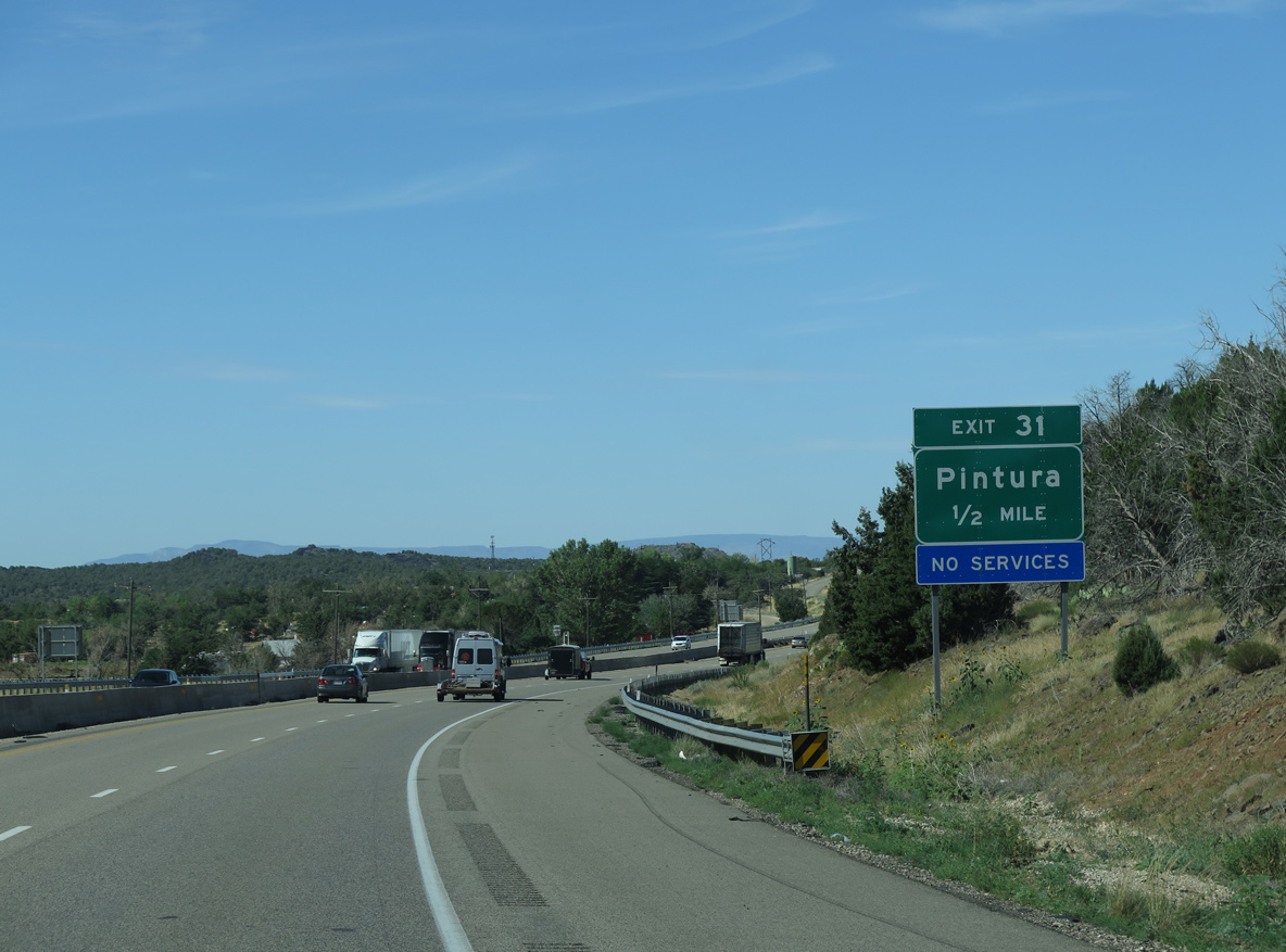
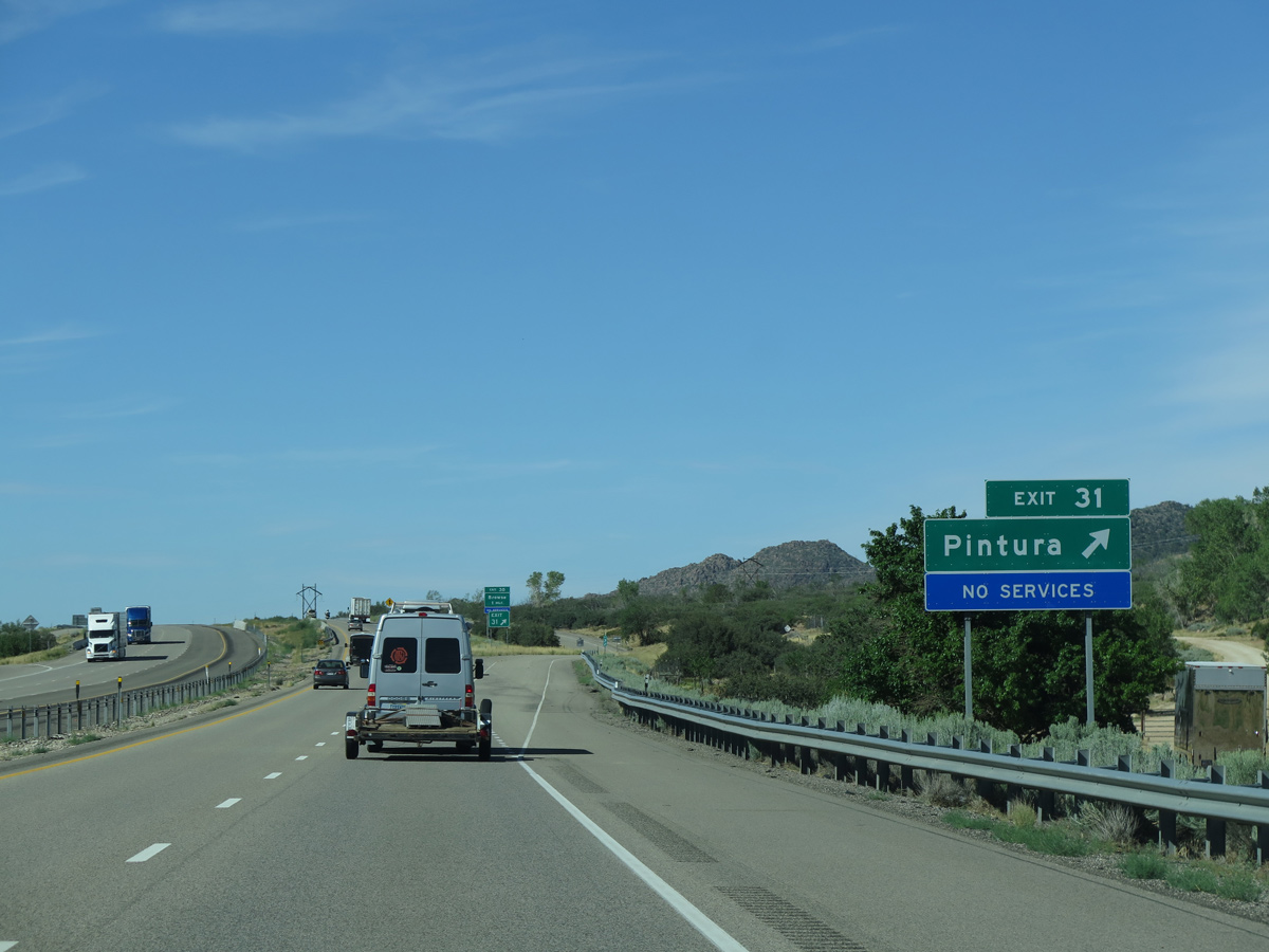
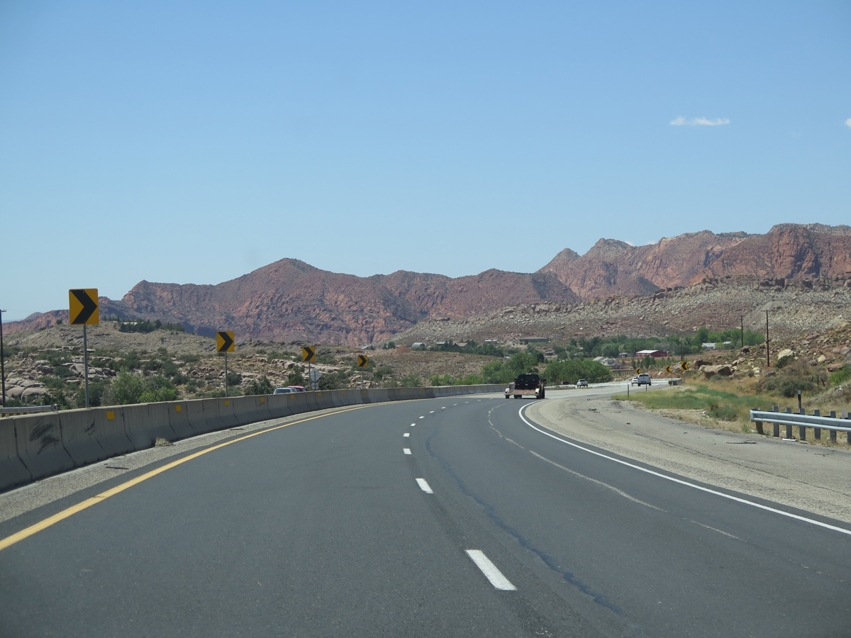
A diamond interchange (Exit 31) joins I-15 with 100 West and old U.S. 91 on 100 East at the unincorporated community of Pintura.
07/12/15
07/12/15
07/12/15
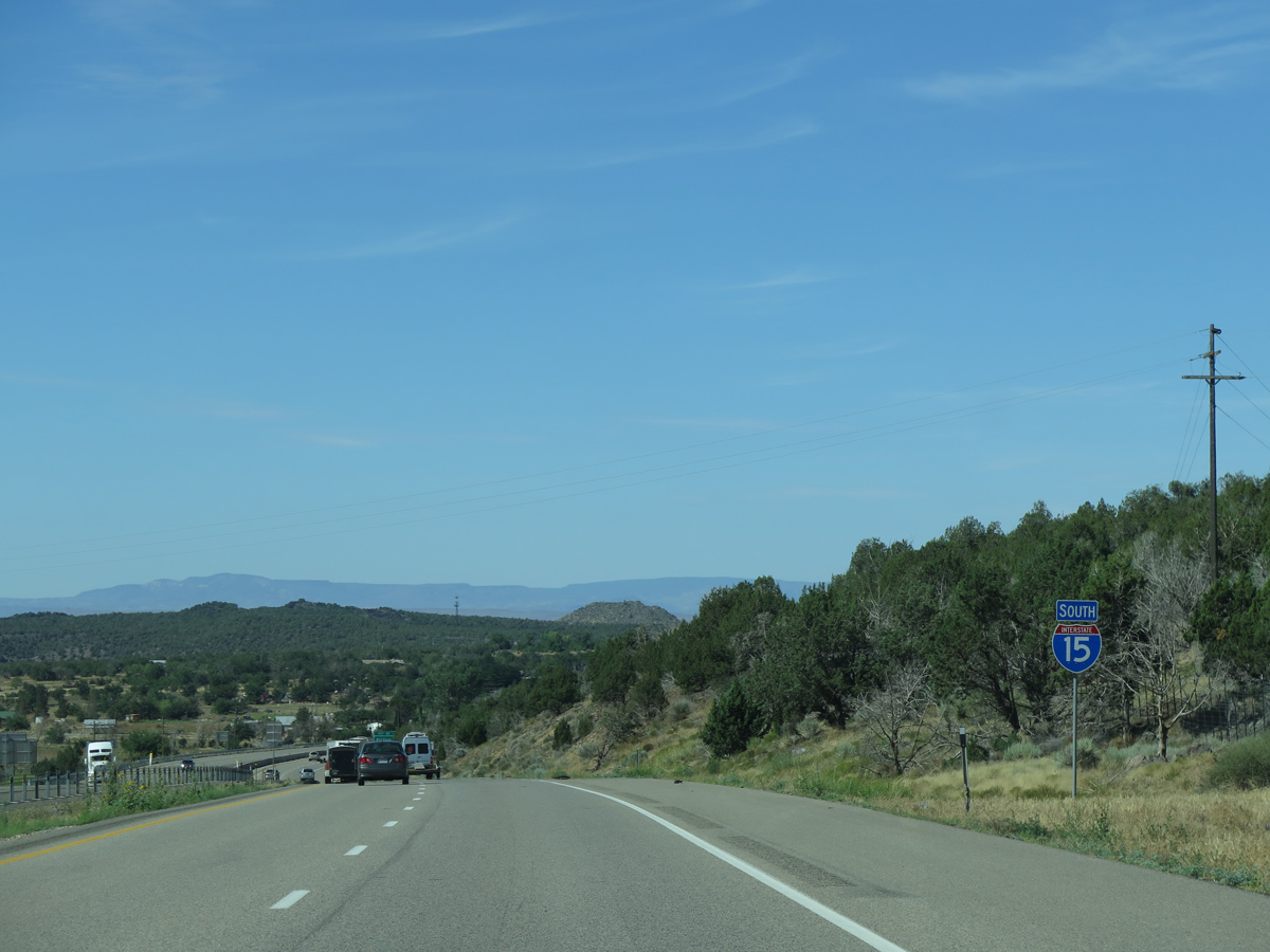
Old Highway 91 / 100 East spurs I-15 south from Exit 31 into northern reaches of the Toquierville city limits.
07/12/15
08/20/11
07/12/15

07/12/15
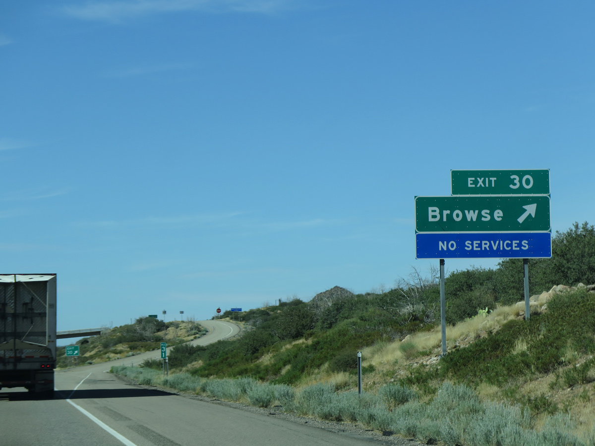
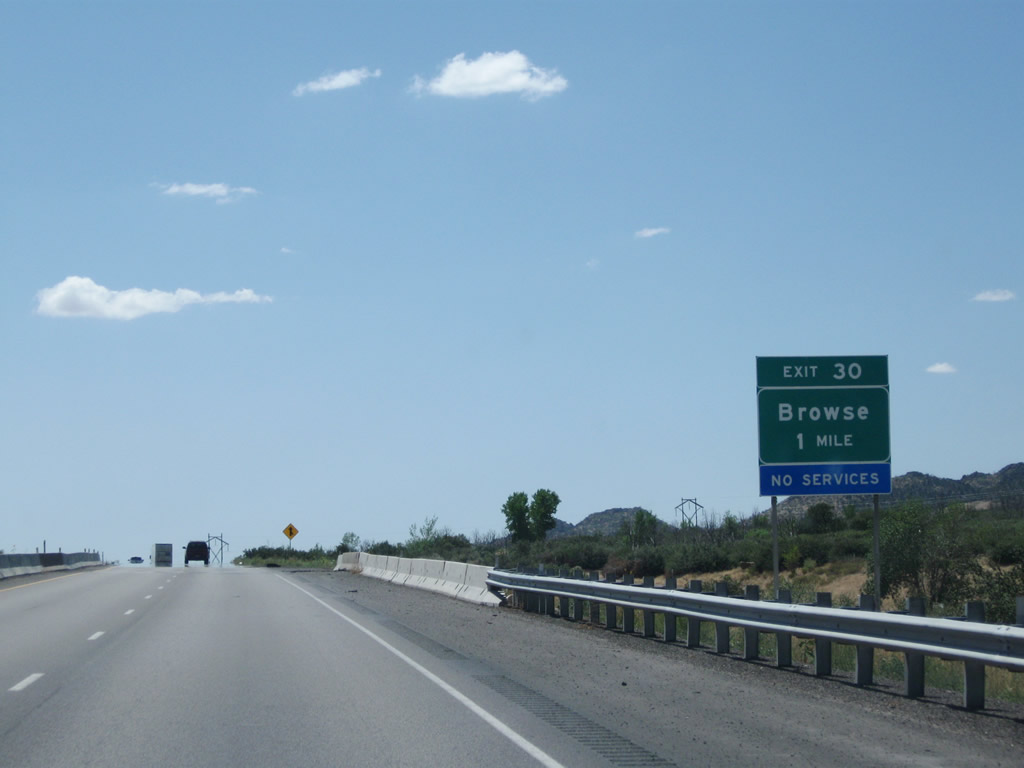
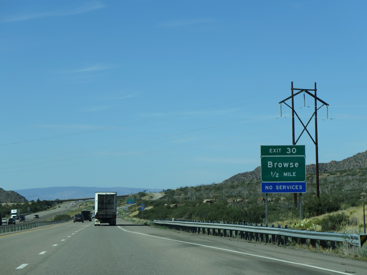
The parclo interchange at Exit 30 and Browse links I-15 with local roads to Dixie National Forest and adjacent Old Highway 91.
07/12/15
07/12/15
07/12/15
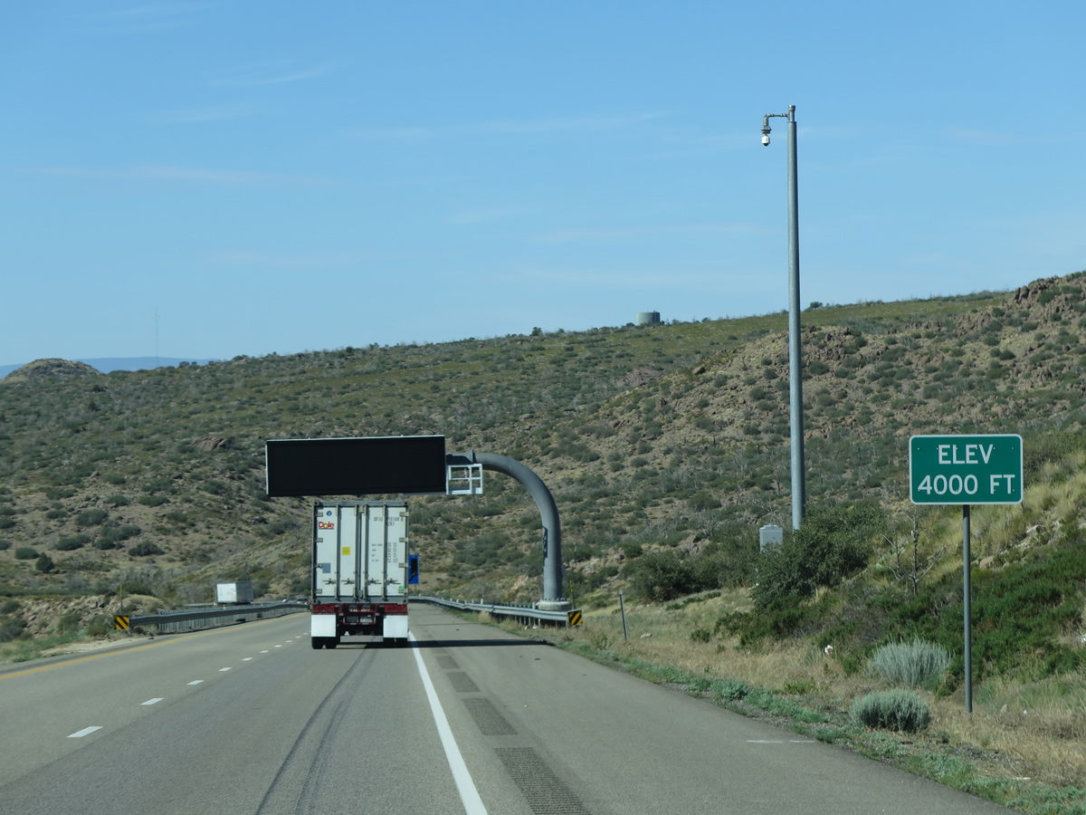
Interstate 15 drops to 4,000 feet above sea level midway between Browse and West Sandy wash.
07/12/15
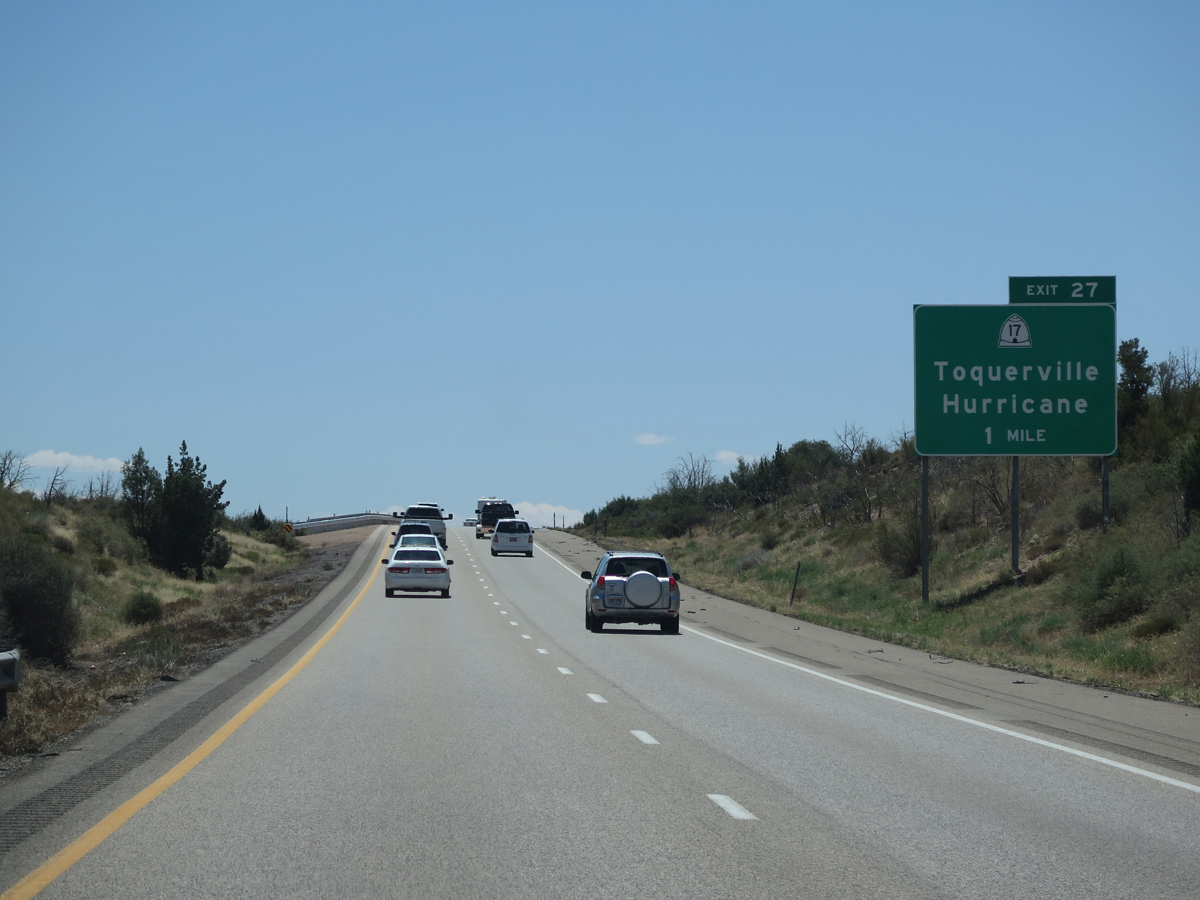
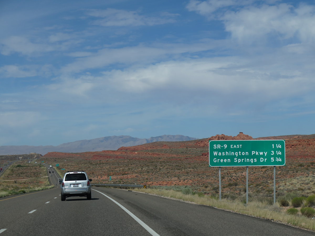
The north end of SR 17 ties into Interstate 15 at Anderson Junction and Exit 27. SR 17 runs 6.06 miles south to SR 9 in the city of La Verkin.
08/12/16
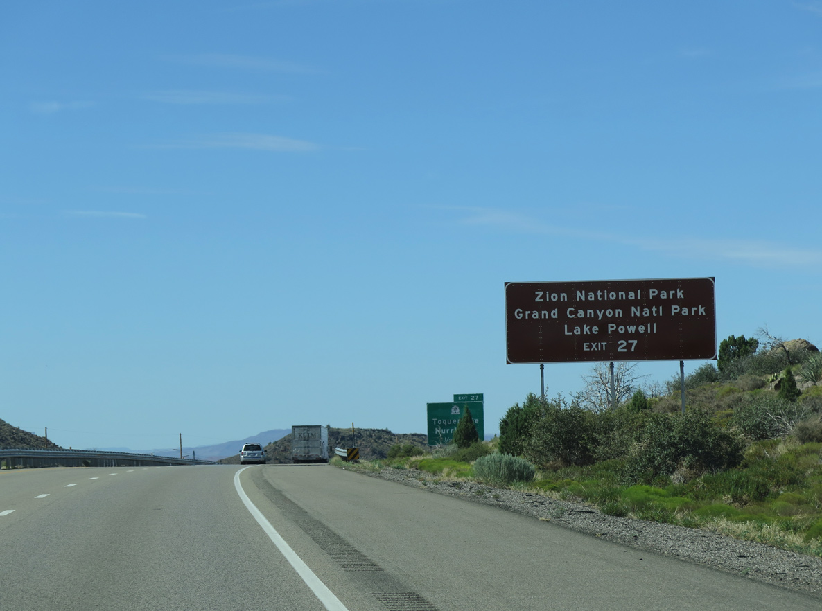
SR 17 south to SR 9 east leads to Zion National Park. Connections from SR 9 with U.S. 89 south to U.S. 89A and Arizona State Route 67 lead to the North Rim of Grand Canyon National Park. Lake Powell and Glen Canyon National Recreation Area lie further east along U.S. 89 beyond Kanab.
07/12/15
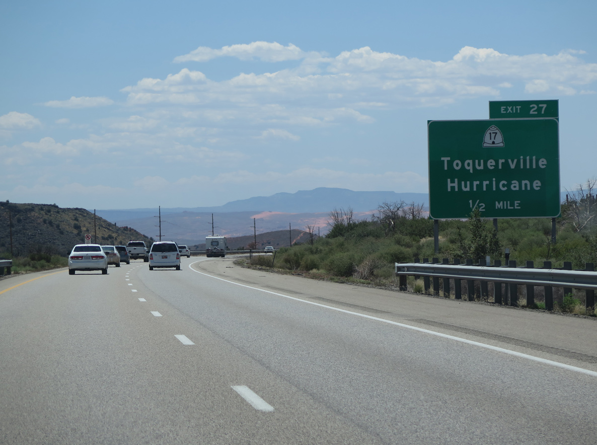
SR 17 meanders south through the Toquerville business district and onto State Street to SR 9 (500 North) in La Verkin. SR 9 heads east to Zion National Park, where a fee is charged for entry, and southwest into Hurricane.
08/12/16

Started on February 24, 2022, construction realigns SR 17 away from Toquer Boulevard through Toquerville onto Toquerville Parkway, a 4.5 mile long, four lane bypass to the west.
08/12/16
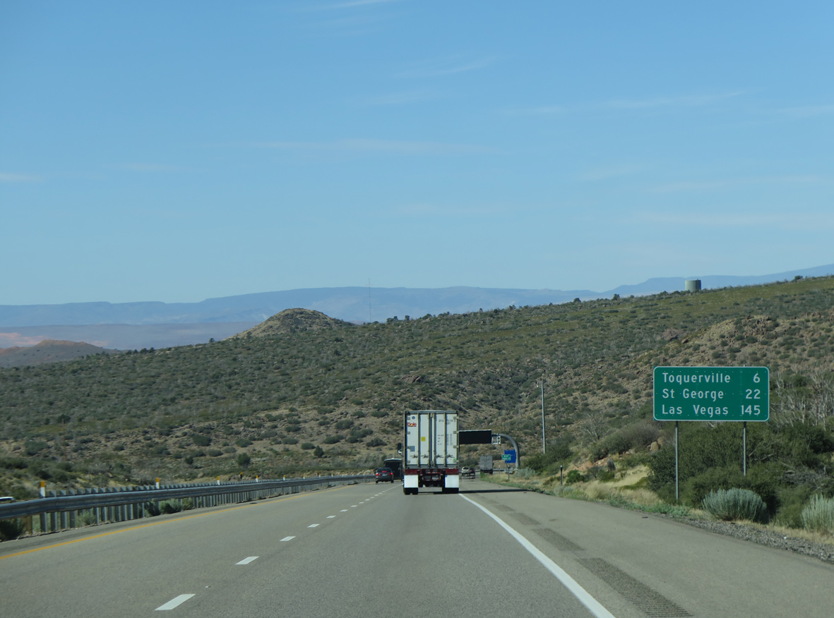
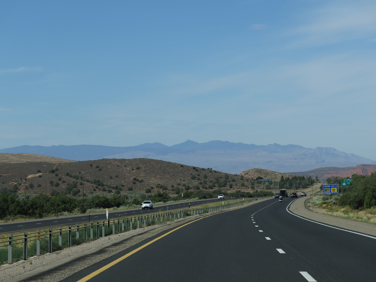
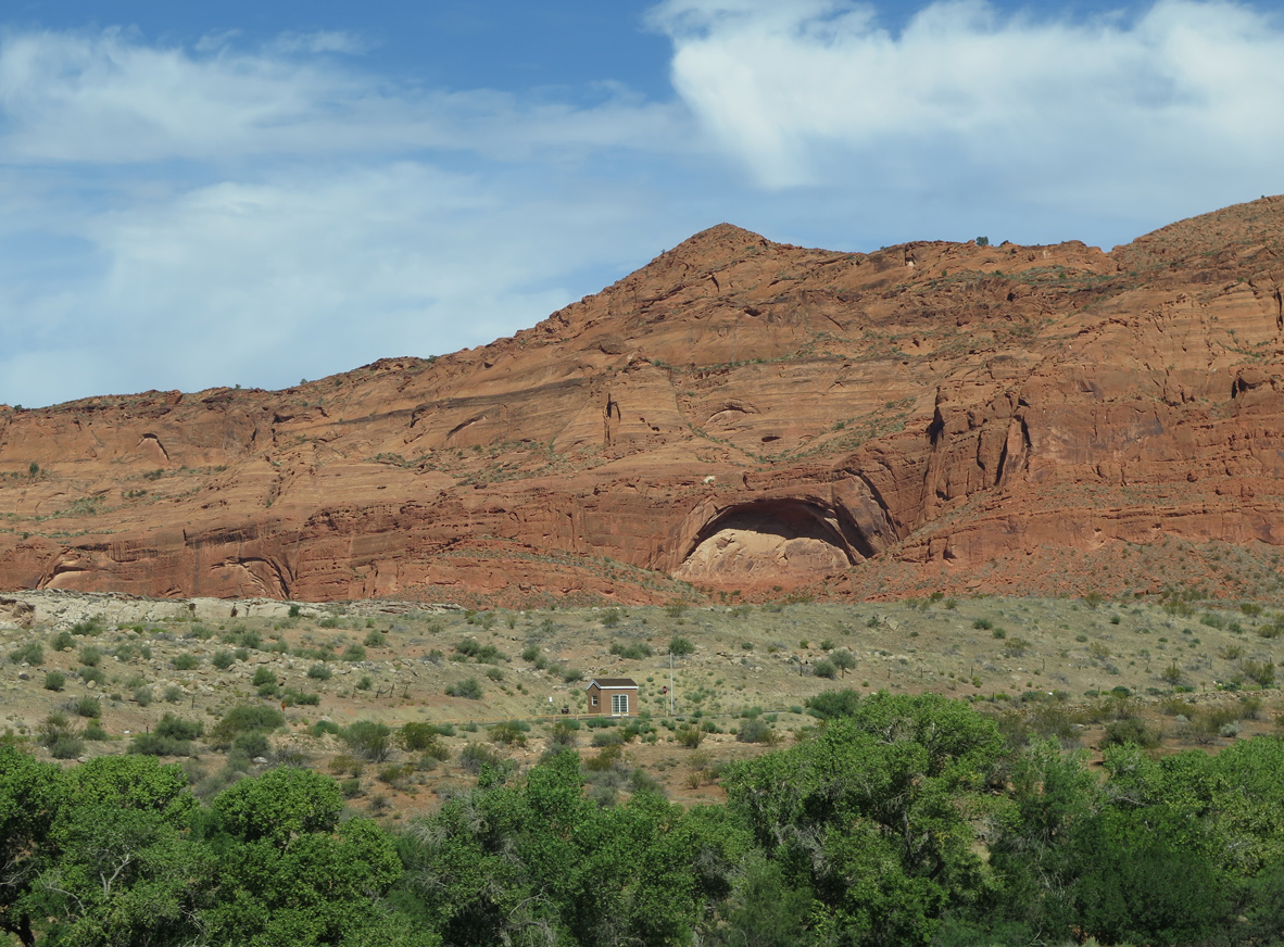
Old Highway 91 runs along the east side of I-15 southwest into the town of Leeds.
07/12/15

07/12/15
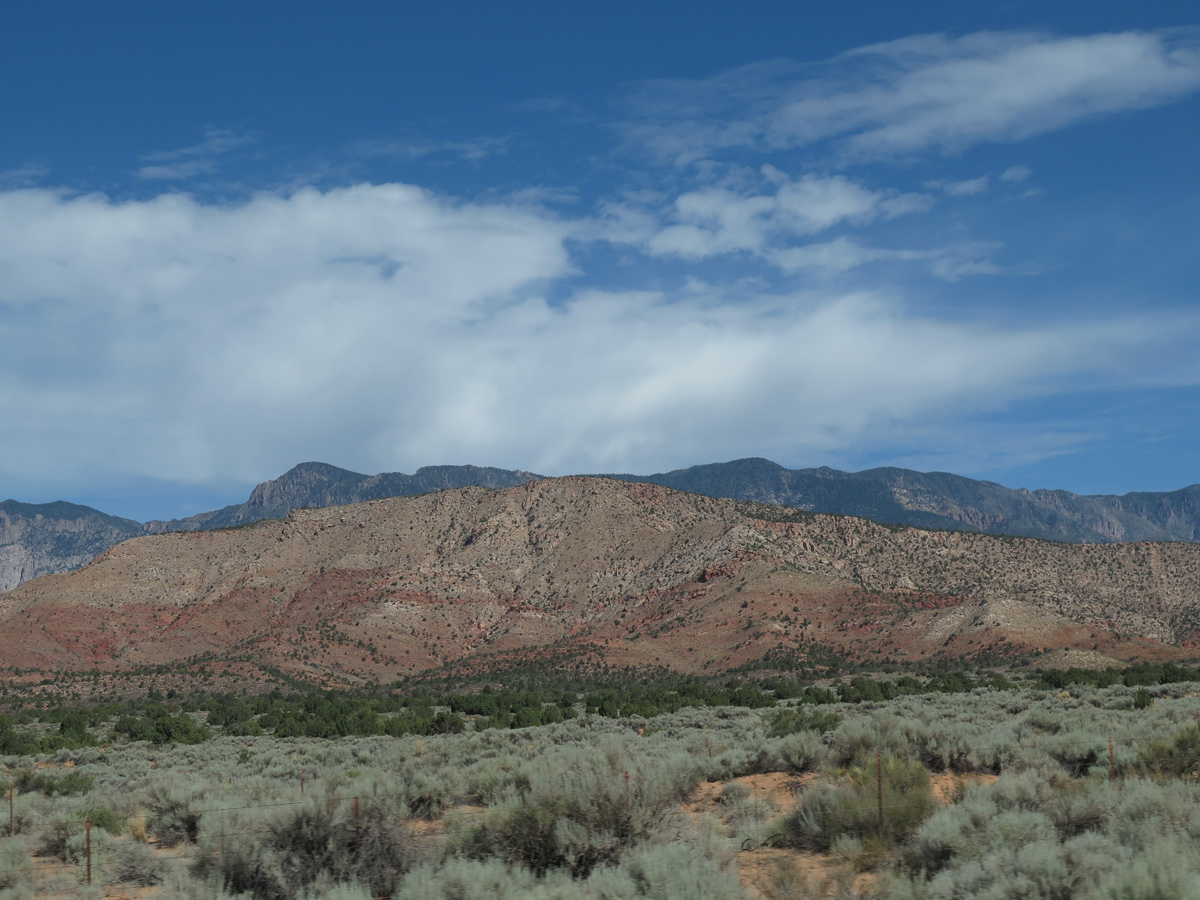
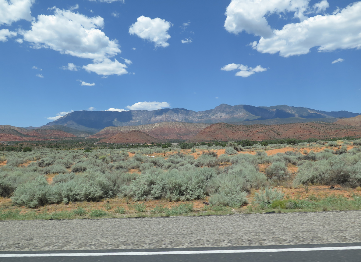
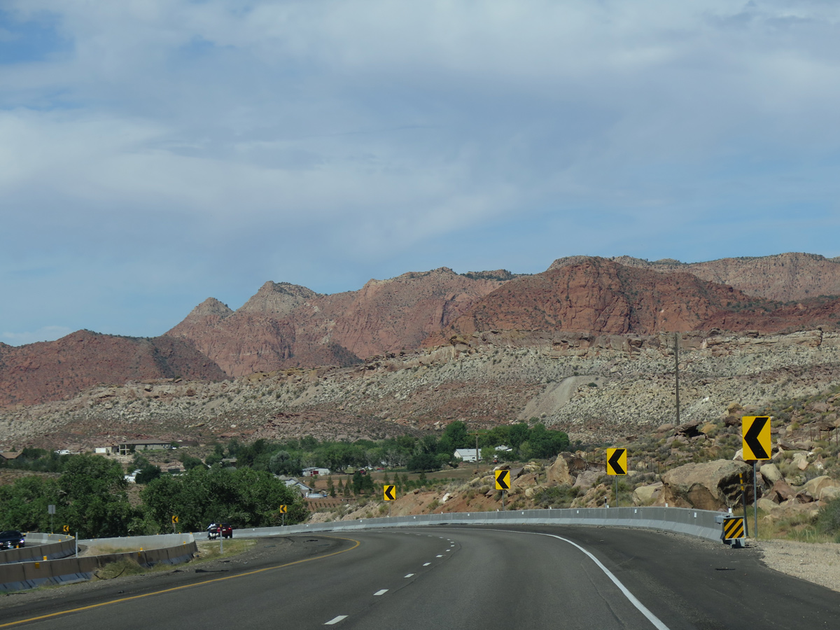
The Pine Valley Mountains rise northwest of Toquerville and Leeds.
07/12/15
08/12/16
07/12/15

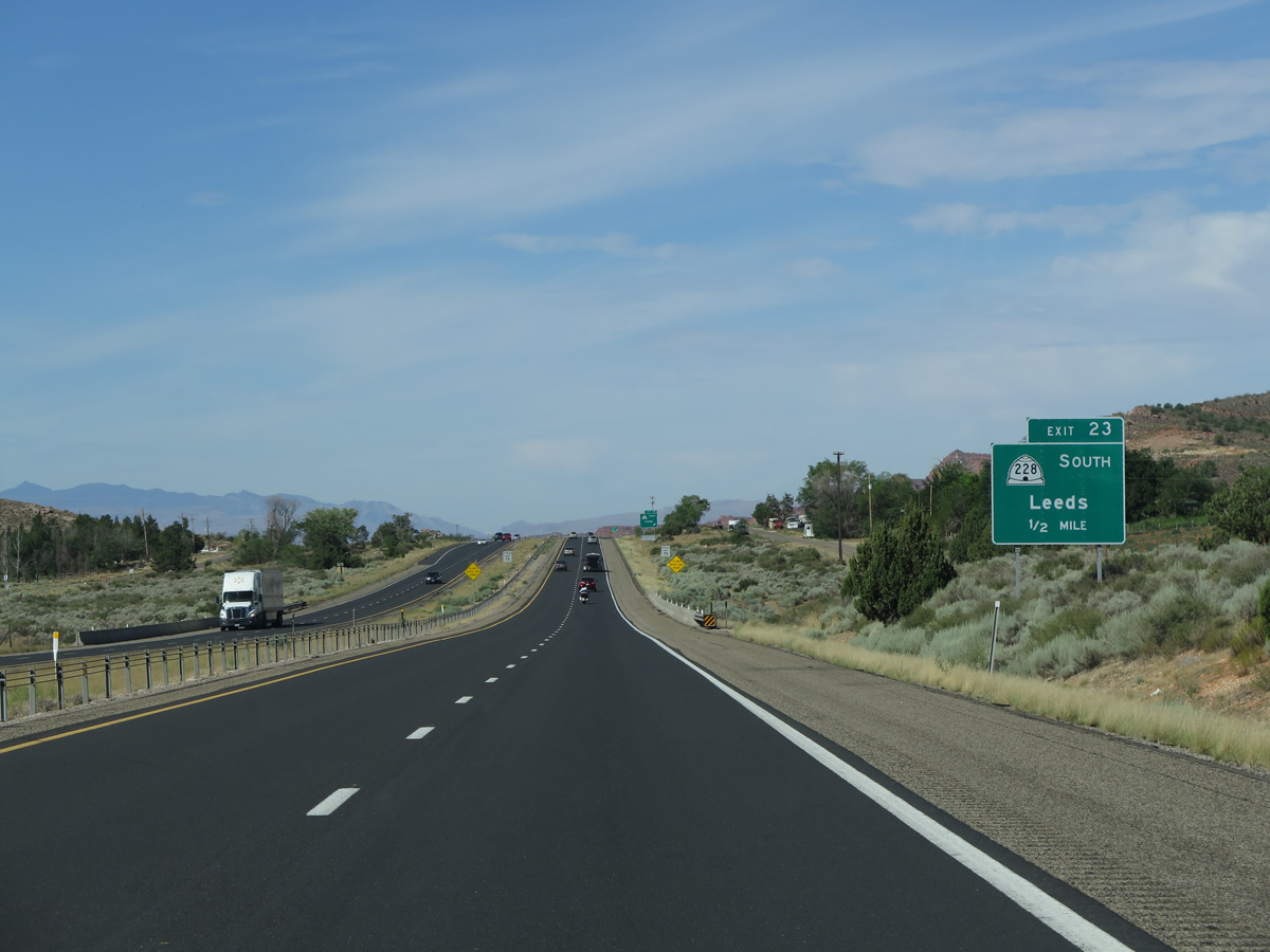
I-15 next meets Silver Reef Road and SR 228 at a half diamond interchange (Exit 23) in Leeds.
07/12/15
Silver Reef Road spurs northwest to Oak Grove Drive and the Silver Reef Historic Site, a mining ghost town.
07/12/15
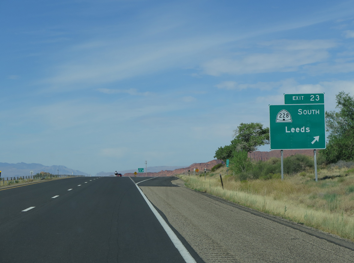
SR 228 comprises a 1.81 mile long loop along Main Street (old U.S. 91), with a connection to I-15 south at Cemetery Road.
07/12/15
Shifting north to bypass SR 228 (Main Street) in Leeds, I-15 runs alongside Tecumseh Hill (el. 3,773 feet) and Big Hill (el. 3,734 feet).
08/12/16
Leeds Reef, Buckeye Reef and White Reef rise west of Interstate 15 at Leeds.
07/12/15

The southbound entrance ramp from SR 228 joins I-15 from Cemetery Road ahead of mile marker 22.
08/12/16
07/12/15

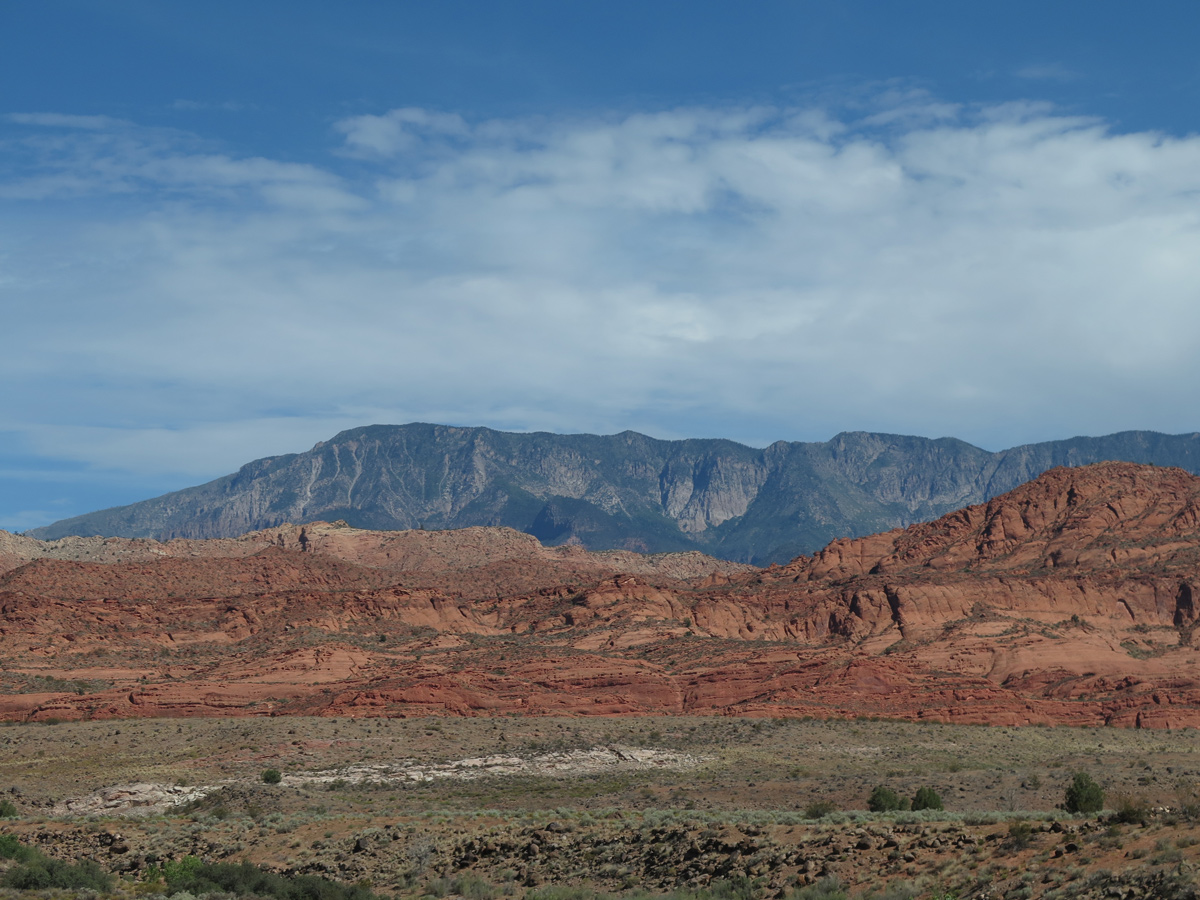
Flora associated with the Mojave Desert, especially Joshua trees, appear occasionally along Interstate 15 southwest from Hurricane to Cajon Pass in California.
07/12/15
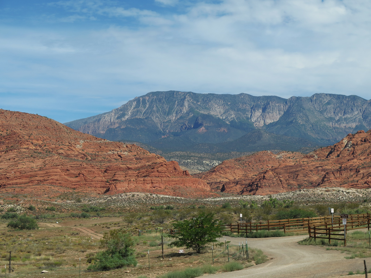
White Reef Trailhead and the Pine Valley Mountains
07/12/15
07/12/15
07/12/15
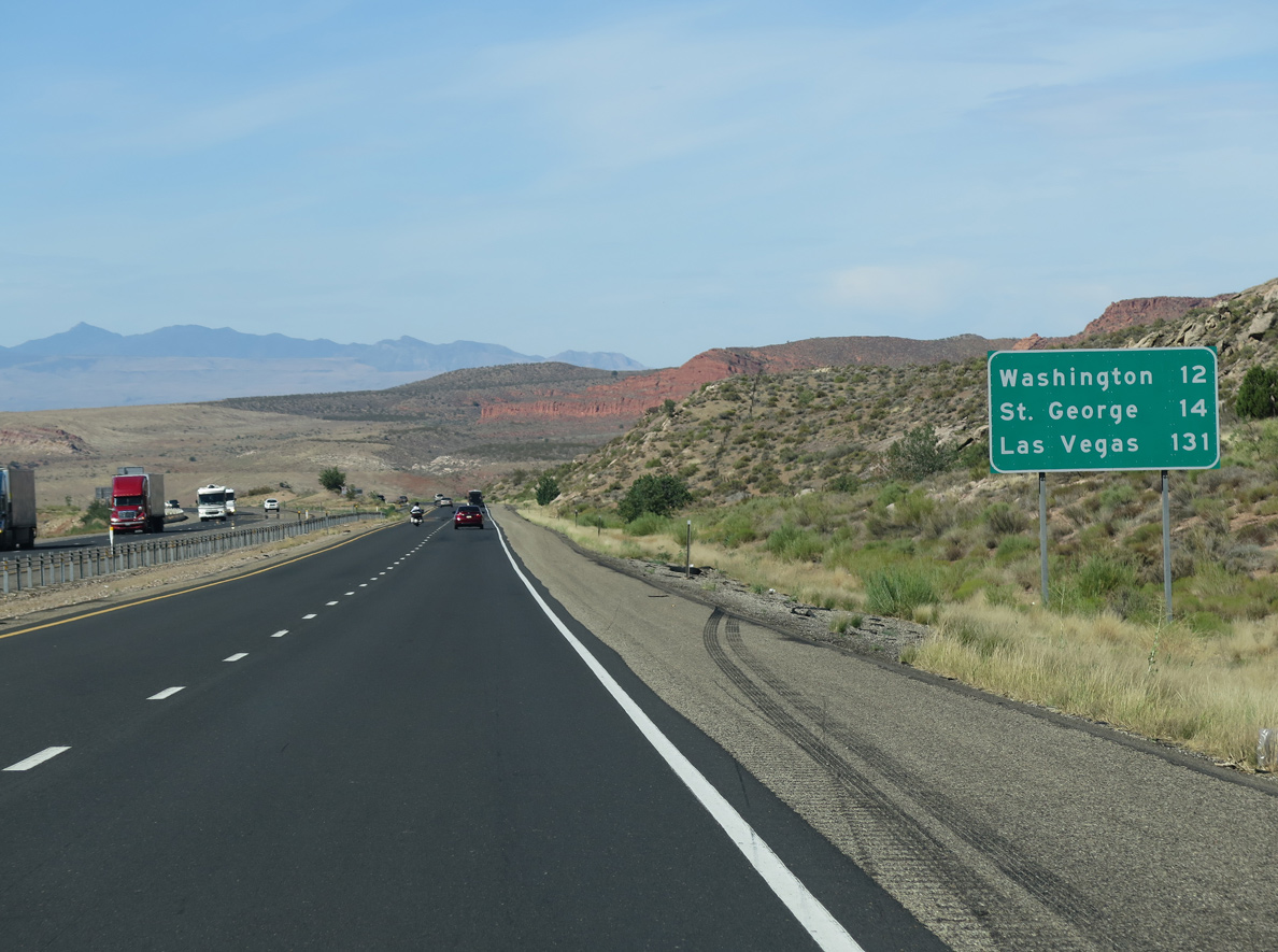
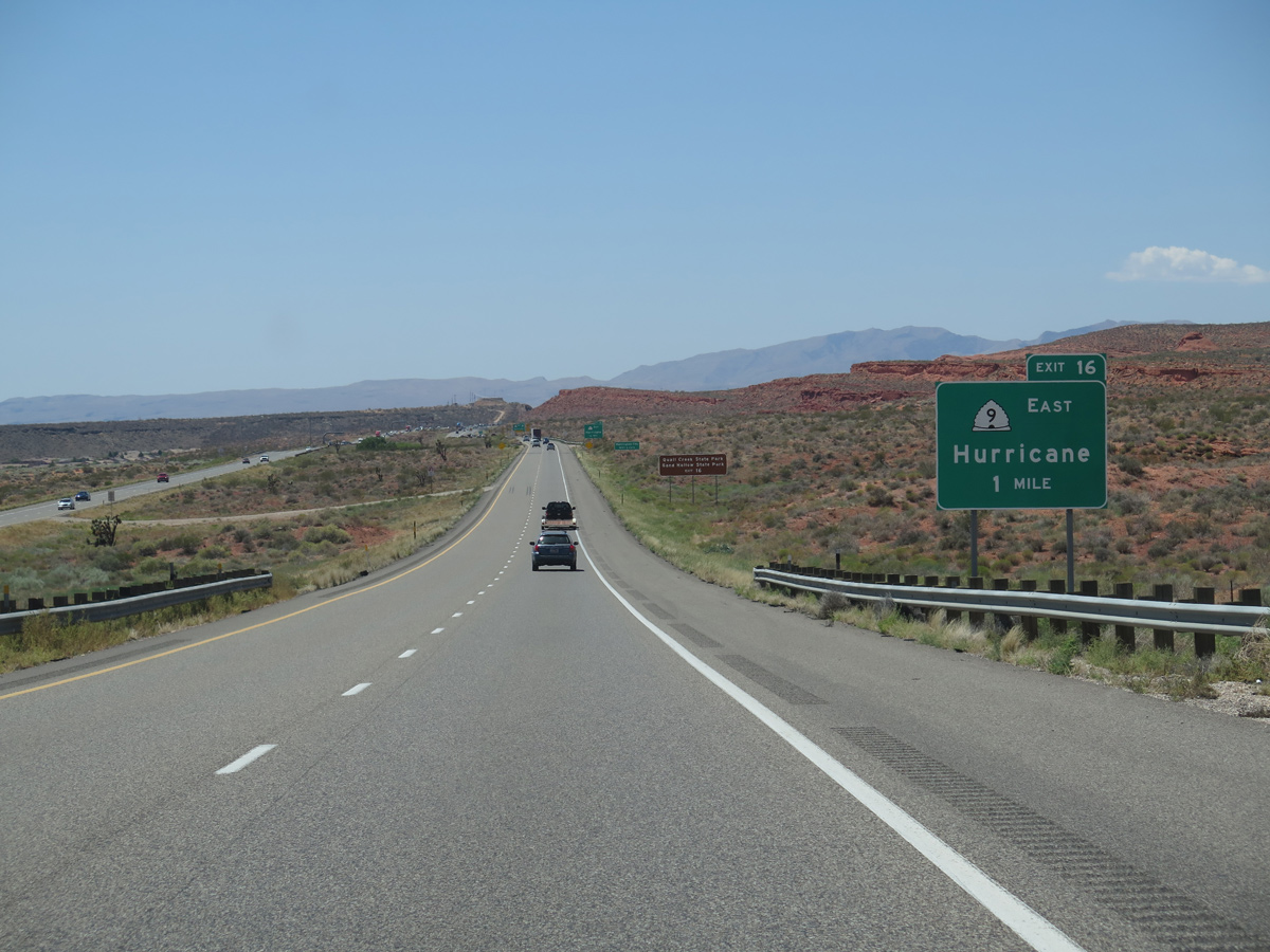
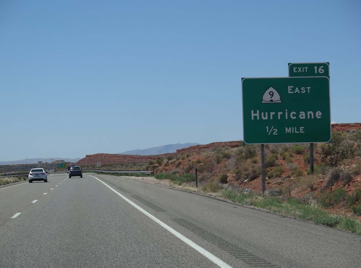
Continuing past Harrisburg and Quail Creek Reservoir, I-15 straddles the Hurricane city line southwest to Exit 16 with SR 9 east.
07/12/15
SR 9 constitutes a 57.11 mile long highway east from Exit 16 to Zion National Park and U.S. 89 at Mount Carmel Junction.
08/12/16
SR 9 is a controlled access arterial across the city of Hurricane. SR 7 (Southern Parkway), an expressway south to St. George, ties into SR 9, 6.54 miles to the east near Sullivan Knoll (el. 4,019 feet).
08/12/16
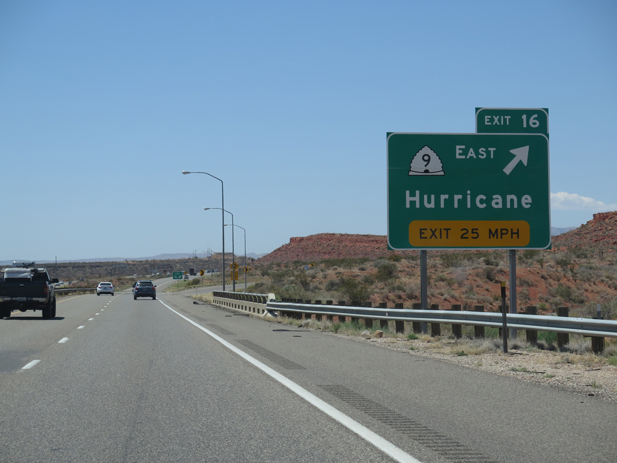
Entering the trumpet interchange (Exit 16) with SR 16 east to Washington, Hurricane, Quail Creek State Park and Sand Hollow State Park.
08/12/16
07/12/15
The succeeding two exits along Interstate 15 south serve the city of Washington, "Where Dixie Begins." The 2020 Census recorded 32,124 residents in Washington, a substantial increase from 8,186 in 2000.
08/12/16
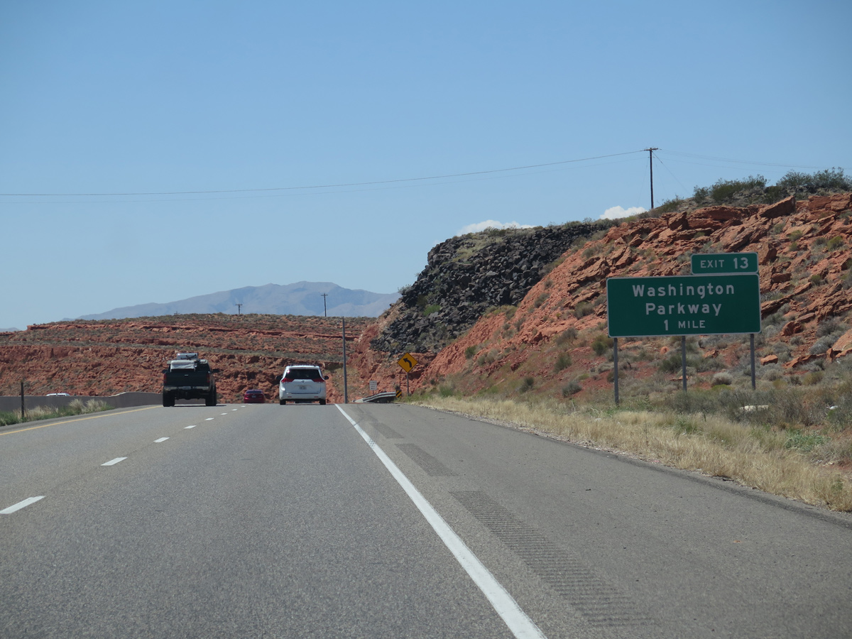
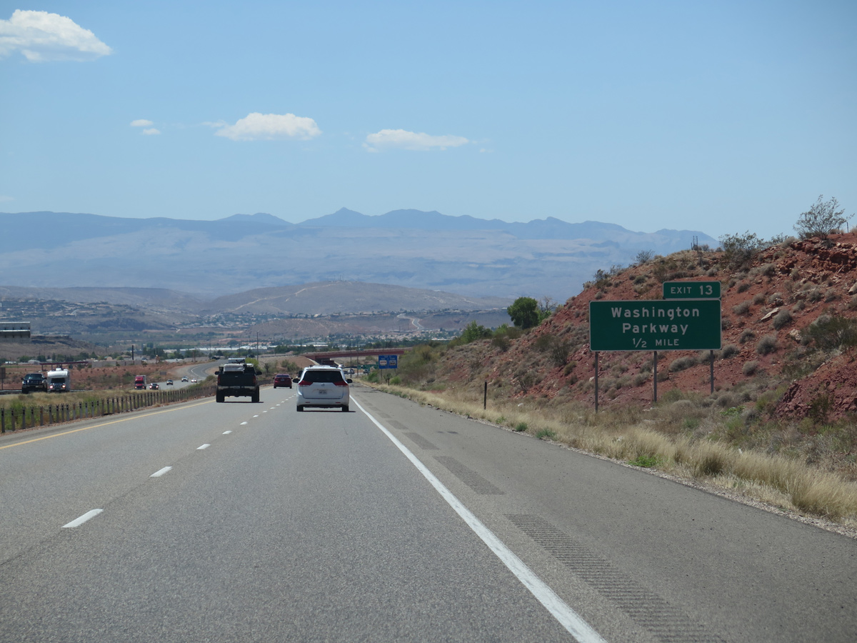
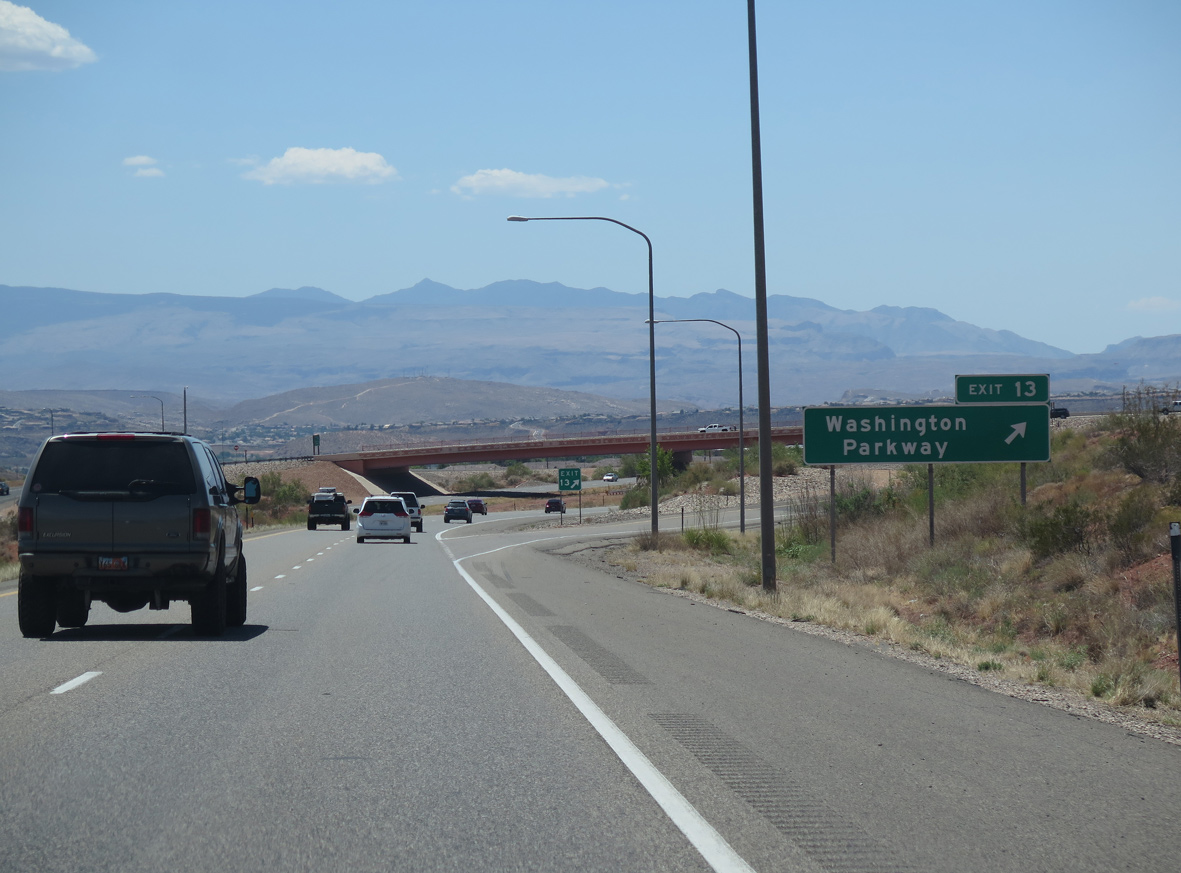
The diamond interchange at Exit 13 joins I-15 with Washington Parkway, an arterial north 1.46 miles from Telegraph Street to Buena Vista Boulevard.
08/12/16
The city of Washington first advocated with the exchange at Washington Parkway in 1980 and an interchange justification report was filed in 1993. Costing $12 million, the exit opened on June 23, 2005.1
08/12/16
Extending Washington Parkway west to the north end of Green Springs Drive, work on the Washington Parkway Project started in January 2019. The two lane roadway opened to traffic by June 2, 2020.2
08/12/16

Interstate 15 south lowers to an elevation of 3,000 feet above sea level at mile marker 13.
07/12/15
The ensuing exit is for Green Springs Drive, however starting in 2023, expansion of I-15 south from Exit 13 to 10 includes building a new interchange (Exit 11) with Main Street in Washington.
08/12/16

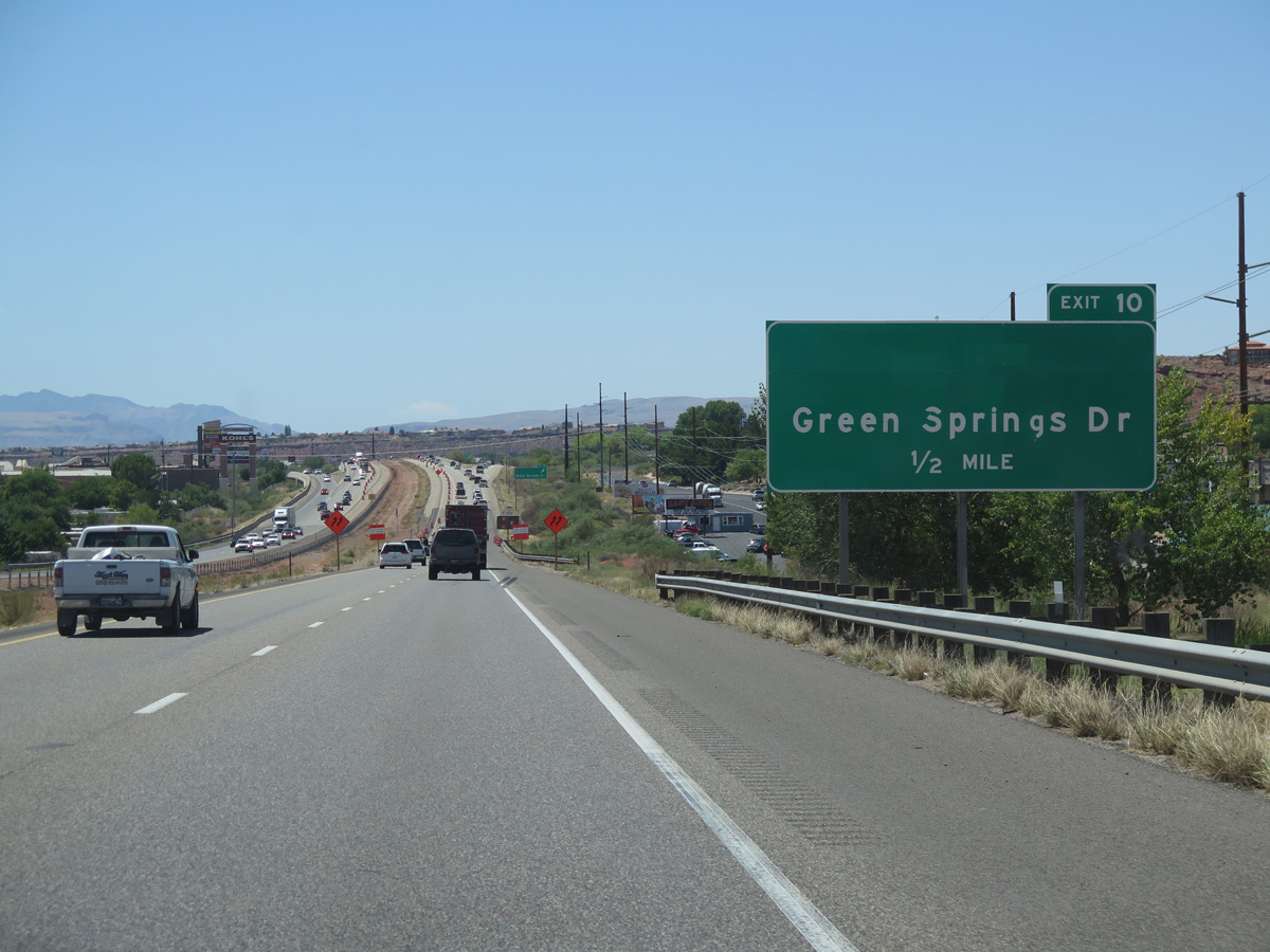
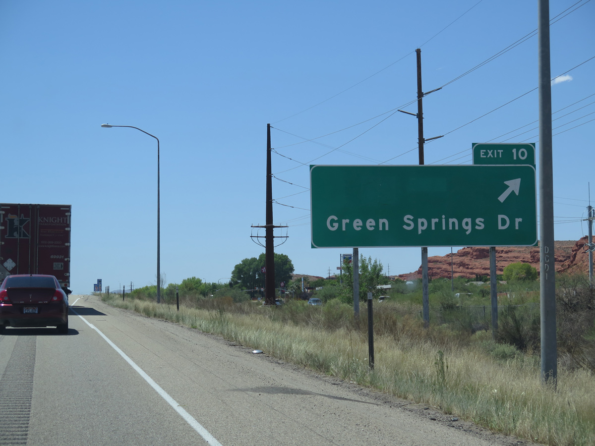
Green Springs Drive ties into Interstate 15 at a SPUI (Exit 10) in one mile.
08/12/16
Prior to 2012, Green Springs Drive south to Telegraph Street (old U.S. 91), and Telegraph Street east to 300 West was SR 212. SR 212 was 1.289 miles in length.
08/12/16
South into St. George, Green Springs Drive becomes 3050 East and then E Riverside Drive to the St. George Dinosaur Discovery Site at Johnson Farm and areas east of Middletown Black Ridge.
08/12/16
08/12/16
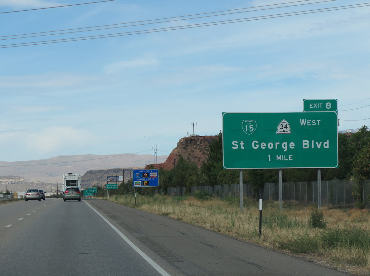
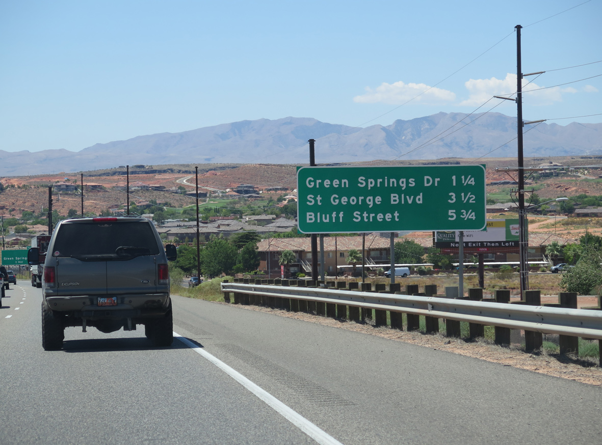
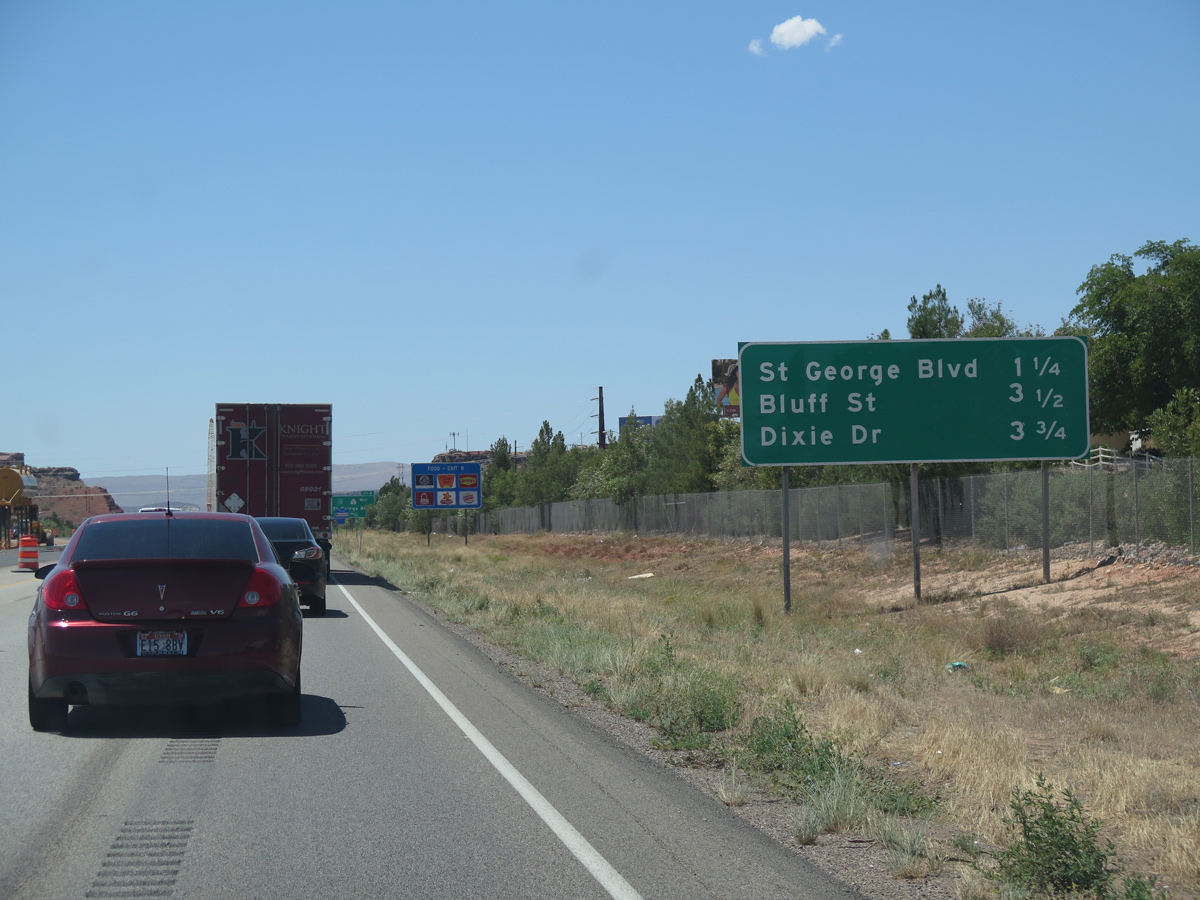
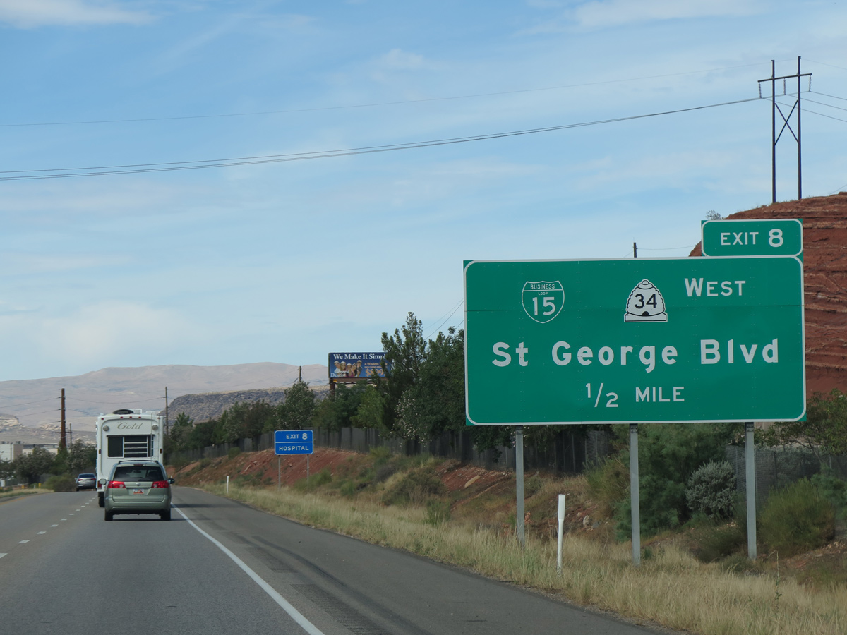
Business Loop I-15 through St. George departs from I-15 south at the succeeding exit. Business 15 overlaps with SR 34 (100 North), a 2.17 mile long route from River Road / Red Cliffs Drive to SR 18 (Bluff Street).
07/12/15
Old U.S. 91 followed parallel Red Hills Parkway and Highland Drive southwest onto Tabernacle Street to Downtown St. George. Part of its bypass of Virgin River Gorge to Littlefield, Arizona, U.S. 91 then took Bluff Street (SR 18) north and SR 8 (Sunset Boulevard) west to Santa Clara.
07/12/15
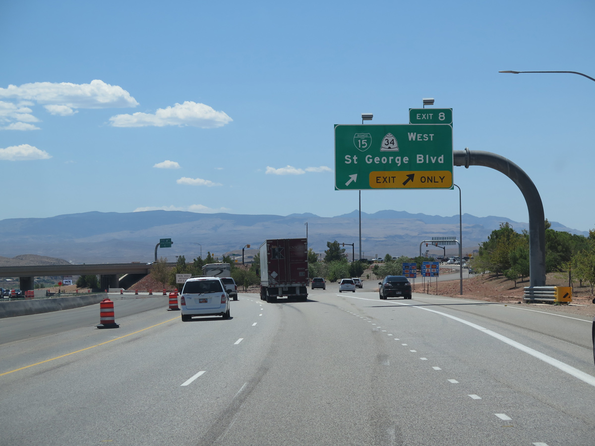
The trumpet interchange at Exit 8 was replaced with a DDI, providing access from I-15 to adjacent Red Cliffs Drive north to Red Cliffs Mall and River Road south. Business Loop I-15 returns to I-15 via an overlap with SR 18 (Bluff Street) south.
08/12/16
Webb Hill (el. 3,107 feet) rises south beyond the Virgin River.
07/12/15
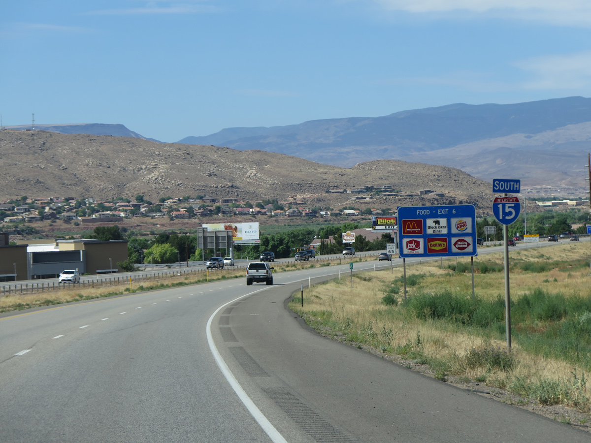
Curving southwest toward Exit 6 / Bluff Street, Interstate 15 passes by the campus of Dixie State University and Greater Zion Stadium.
07/12/15
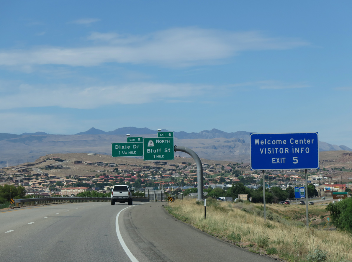
The visitor center at the Dixie Convention Center, located just east of Exit 5, replaced the Utah Welcome Center formerly located on I-15 north where Exit 2 was constructed.
07/12/15
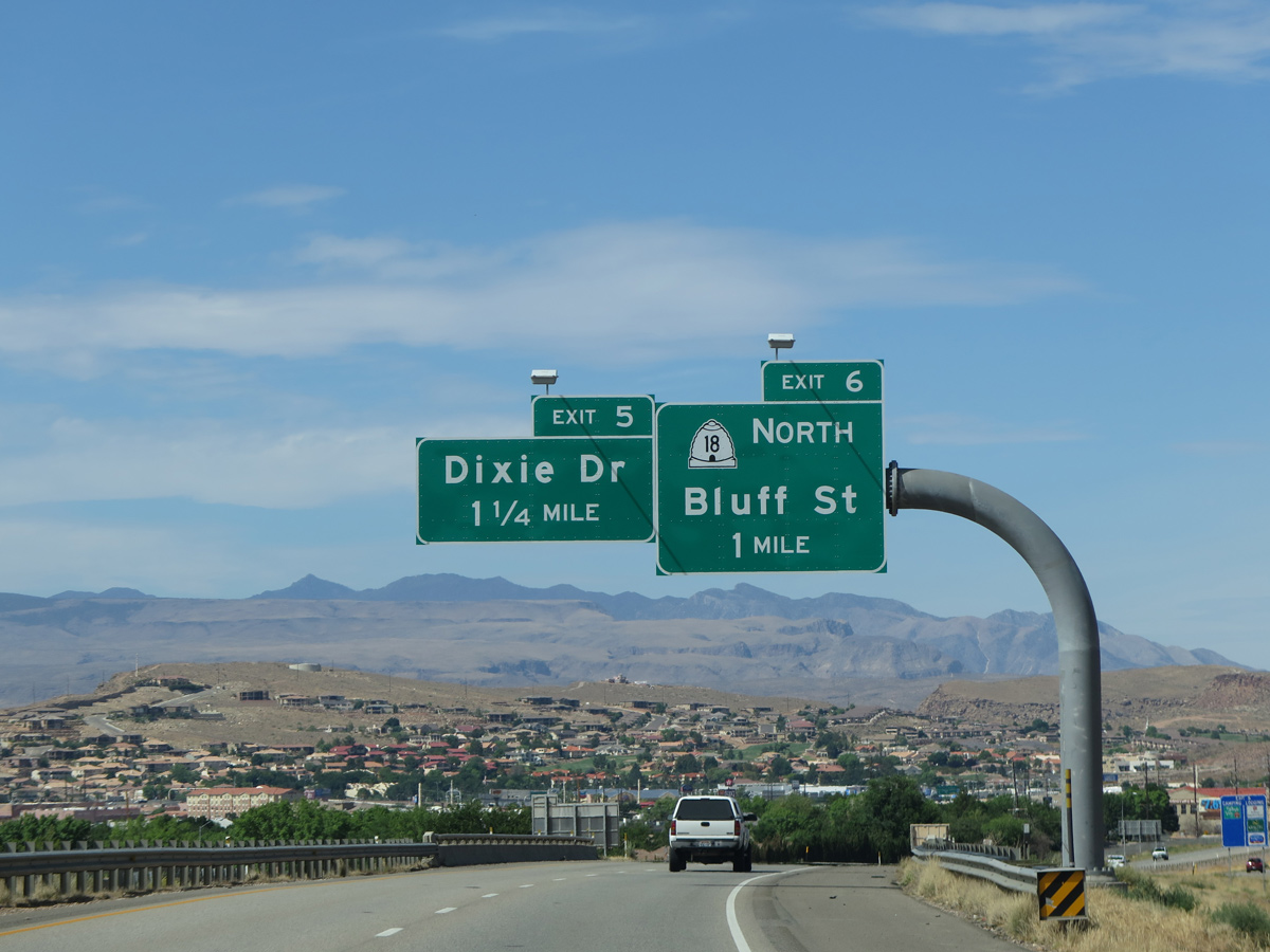
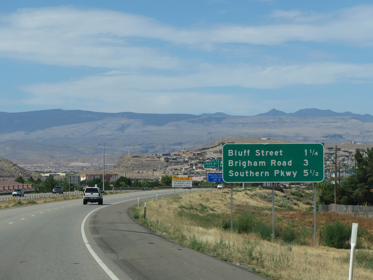
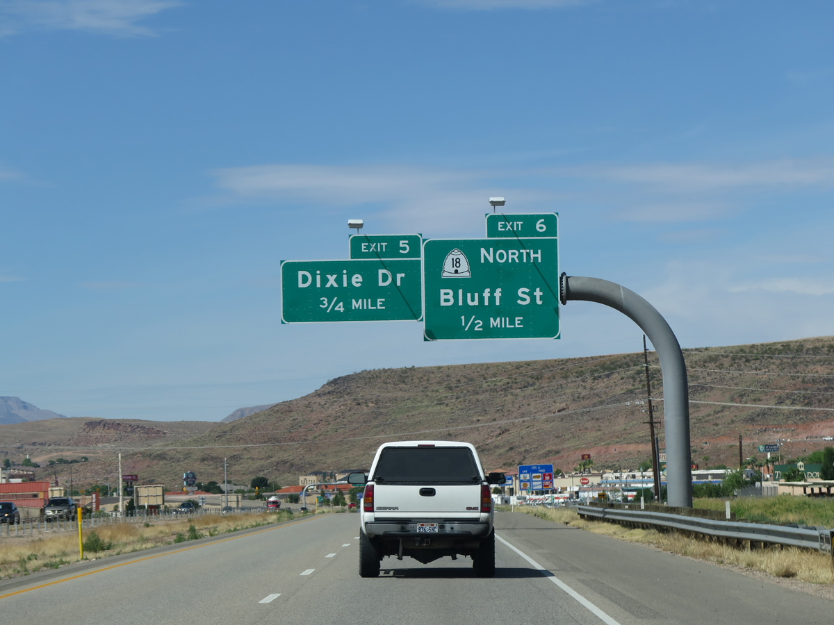
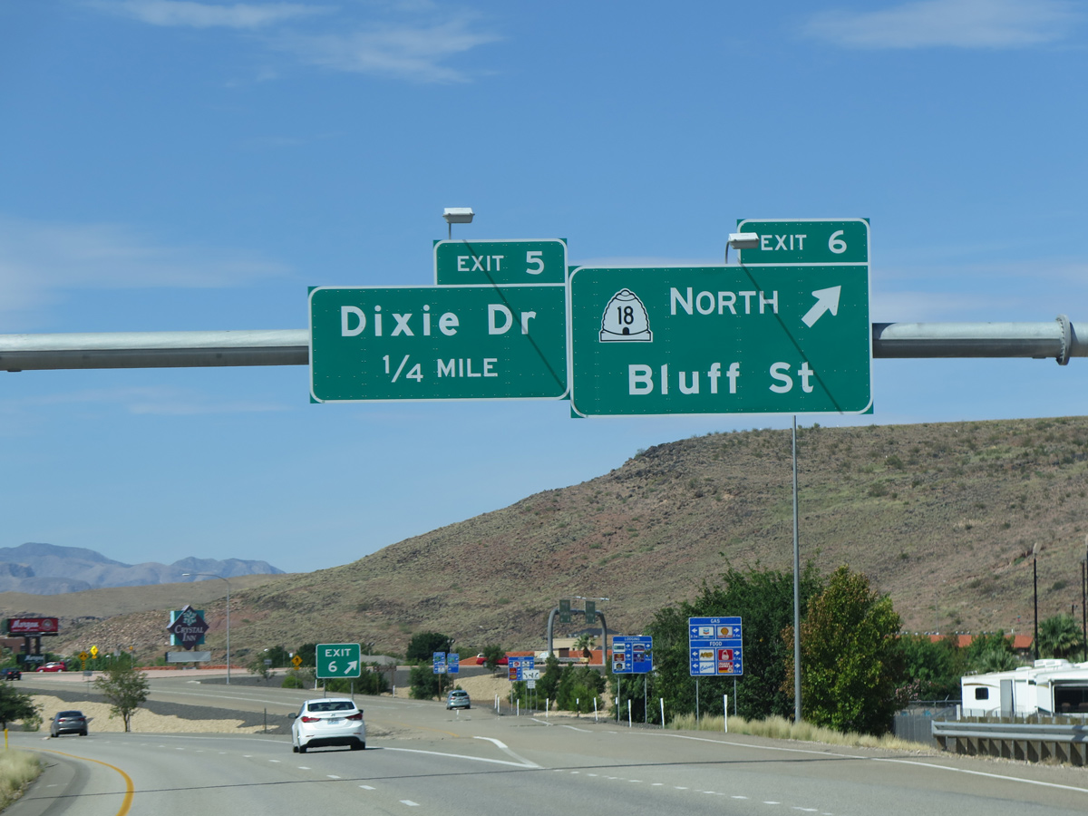
SR 18 (Bluff Street) is the Legacy Loop Highway. The 50.99 mile long highway extends north from Riverside Drive and Exit 6 to SR 56 at Beryl Junction.
07/12/15
Until 1974, all of Business Loop I-15 in St. George was designated as SR 34. The southern half of SR 34 on Bluff Street was renumbered as an extension of SR 18 to give route continuity.
07/12/15
Providing access to E Riverside Drive to the south, construction underway in 2008/09 rebuilt the trumpet interchange (Exit 6) with Business Loop I-15/SR 18 (Bluff Street) north into a diamond interchange.
07/12/15
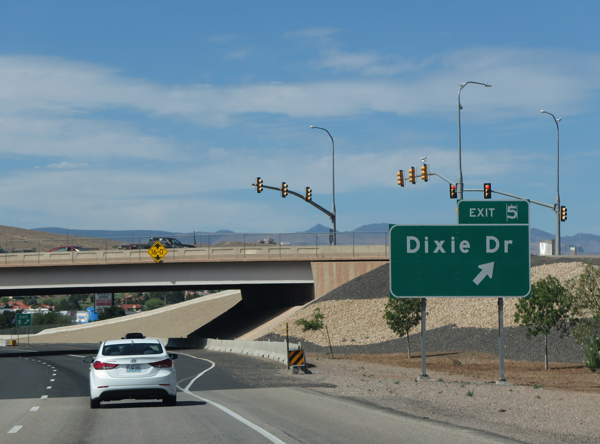
The SPUI (Exit 5) with Dixie Drive was constructed to relief congestion at Exit 6.1
07/12/15
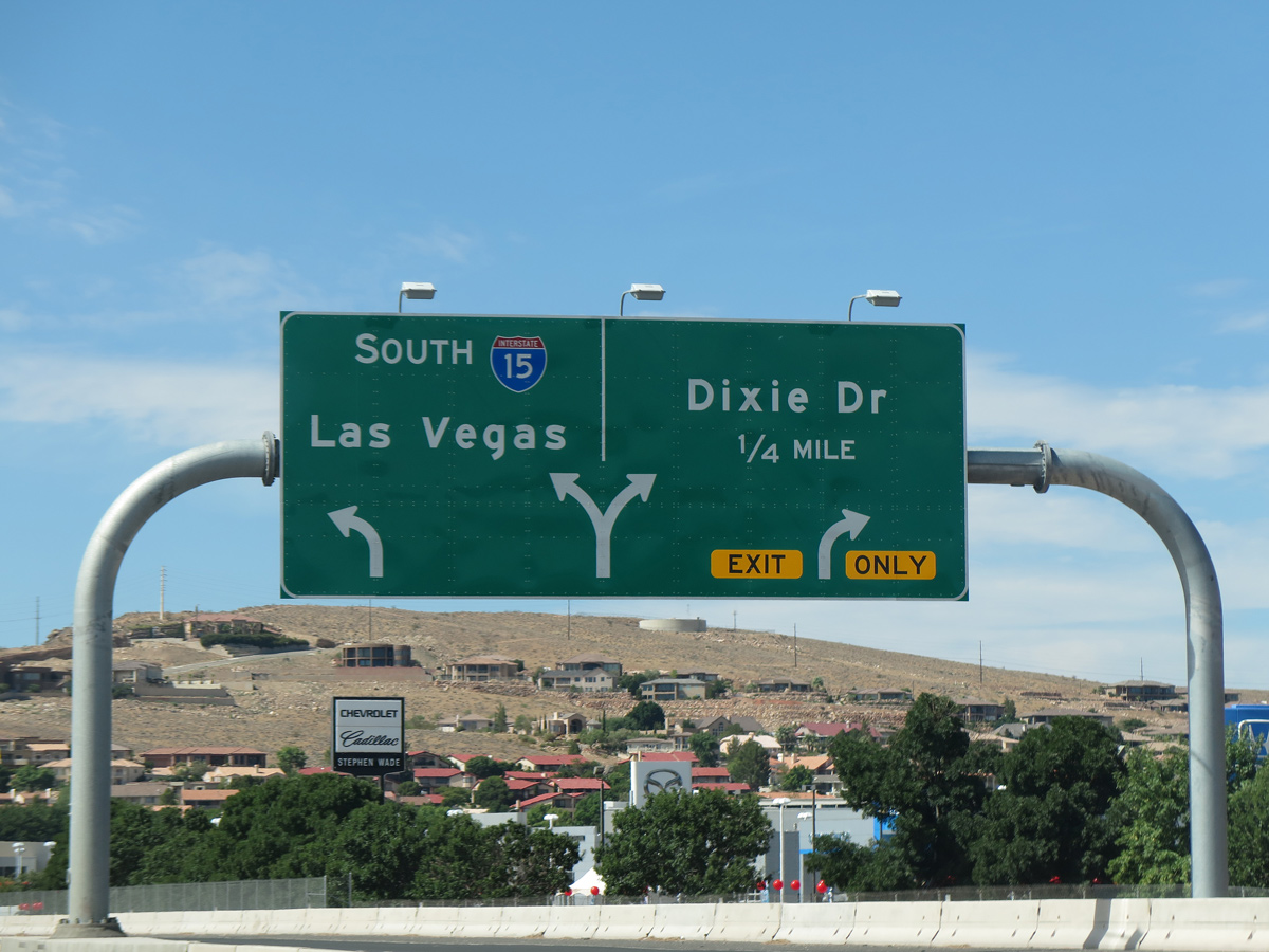
Costing $81 million, work on the exchange at Exit 5 started in July 2010. Completion was delayed by a year until July 2012.1
07/12/15
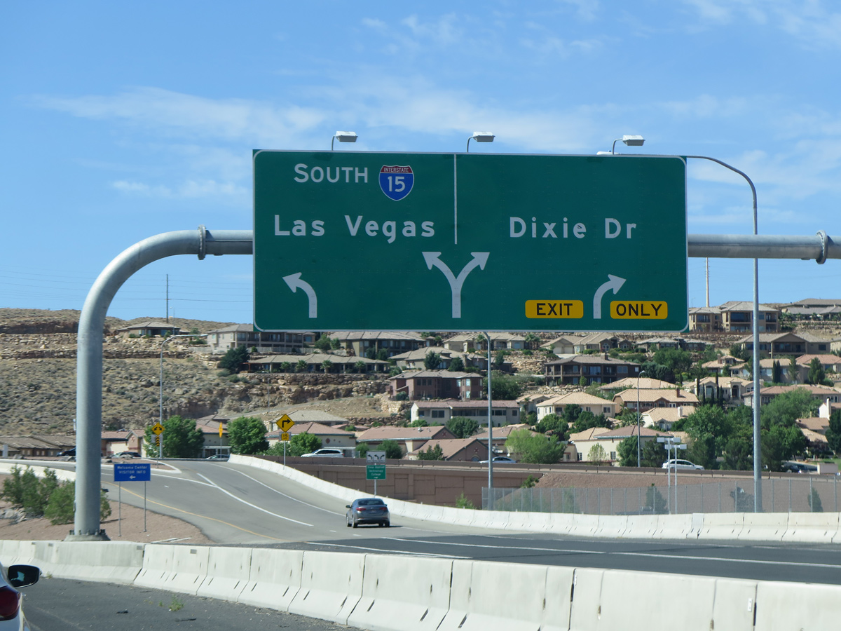
Dixie Drive parallels the Santa Clara River west by Stonegate Golf Club and north to SR 8 (Sunset Boulevard). The arterial east becomes Crosby Way beyond the adjacent Dixie Convention Center.
07/12/15
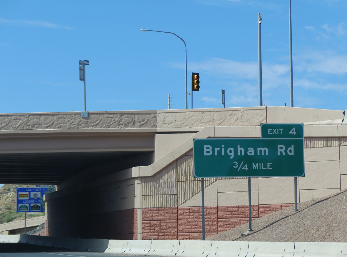
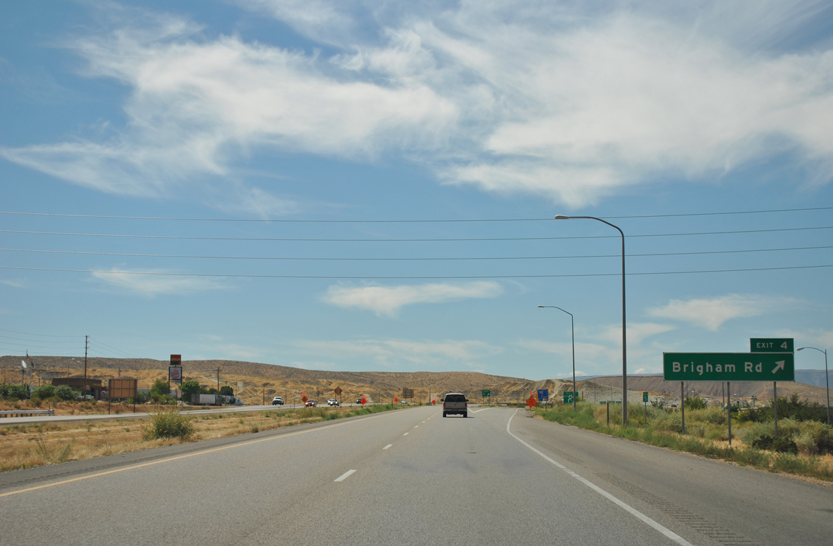
A dumbbell interchange links Interstate 15 with Brigham Road at Exit 4.
07/12/15
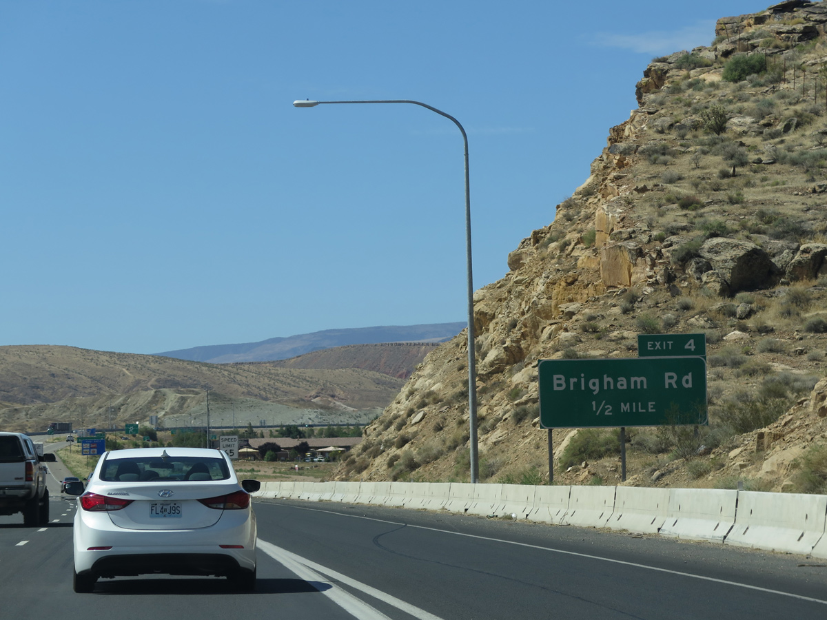
Brigham Road runs west into residential areas at Sugar Leo Road and Swaps Drive and east to S River Road at Bloomington Hills. Exit 4 was originally signed simply as Bloomington.
07/12/15
Interstate 15 south spans the Virgin River for the first time between Bloomington and Webb Hill. I-15 and the river intertwine southwest through the Virgin River Gorge.
07/12/15
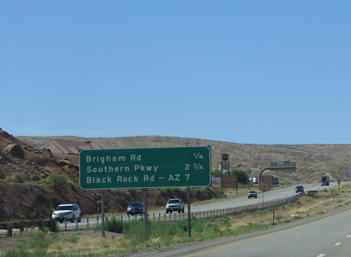
Exit 4 leaves I-15 south for Brigham Road west toward the community of Bloomington and east to residential areas north of the Price City Hills.
08/12/11
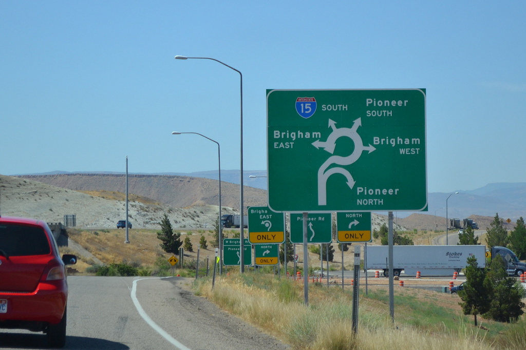
Pioneer Road, a west side service road, feeds into the roundabout joining I-15 south with Brigham Road at Exit 4.
07/07/11
Interstate 15 shifts west of the Price City Hills (el, 3.054 feet0 on the ensuing stretch south.
08/12/11
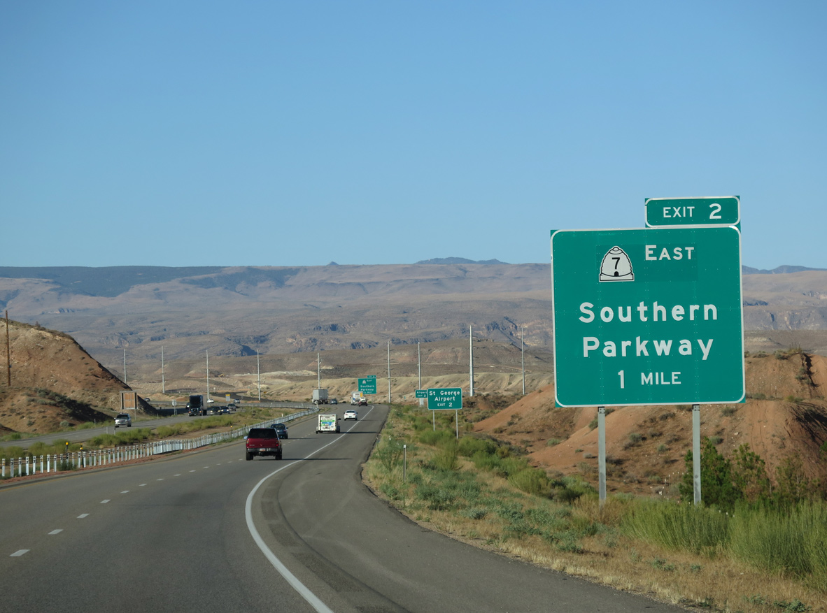
The SPUI with SR 7 (Southern Parkway) fully opened to traffic on July 7, 2009.1 Also known as the Dixie Beltway, Southern Parkway is an expressway encircling St. George to the south and east between I-15 and SR 9 in Hurricane.
08/09/14
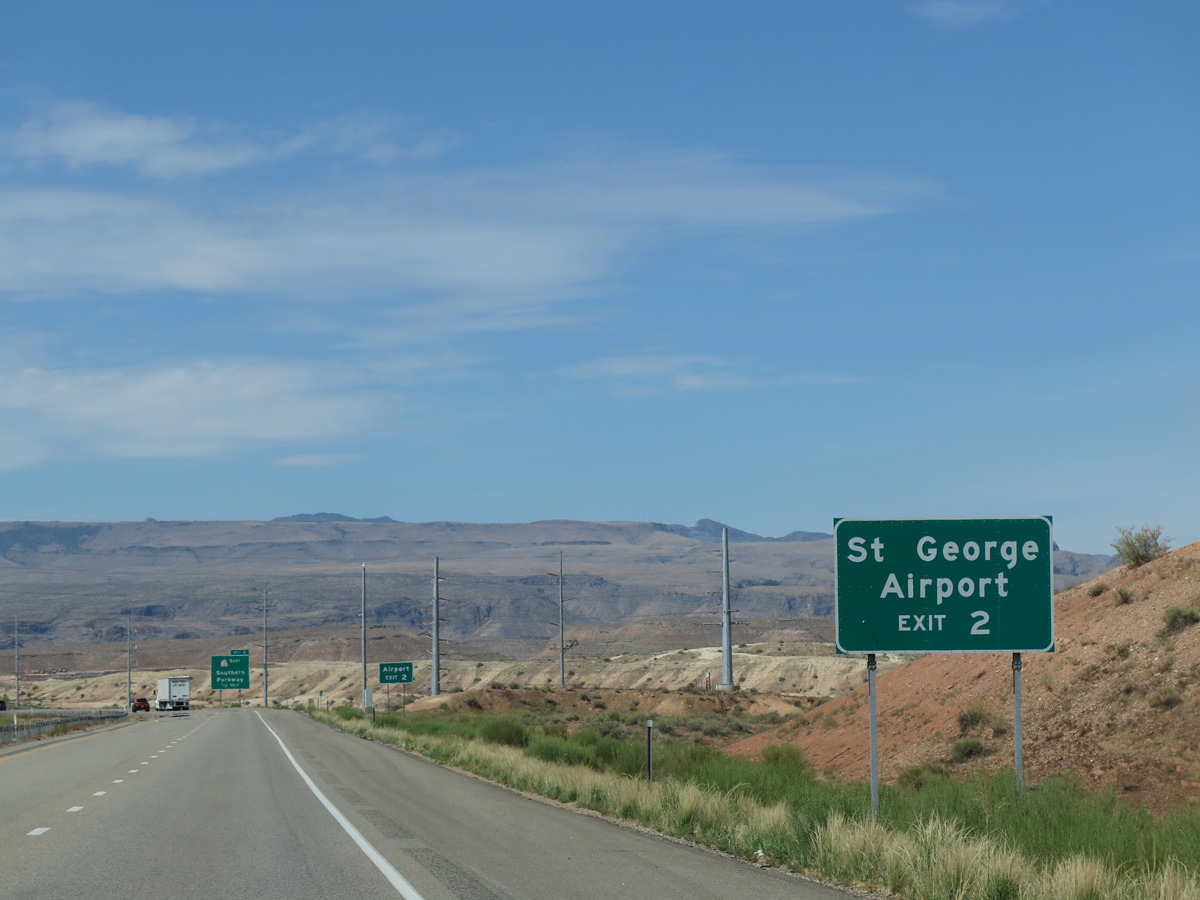
Replacing the old St. George Municipal Airport to the north, St. George Regional Airport (SGU) was constructed west of Warner Ridge and north of the eventual Southern Parkway. The airport commenced operations on January 12, 2011.3
07/12/15
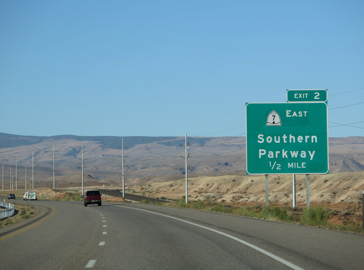
SR 7 comprises a 26.33 mile long loop. Construction for Phase 5 of the Southern Parkway, eight miles north from 4300 West/Sand Hollow Road to SR 9, was finished in May 2021.4
08/09/14
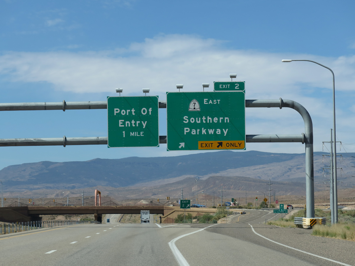
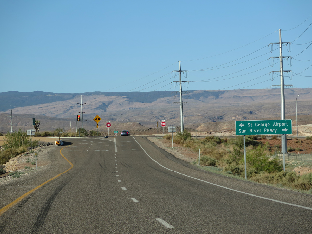
Exit 2 depart I-15 south for SR 7 (Southern Parkway) east and Sun River Parkway west to the Run River development.
07/12/15
Long range plans for the Dixie Beltway Western Corridor extend the route north to Old Highway 91 between Irvins and Santa Clara.5
08/09/14
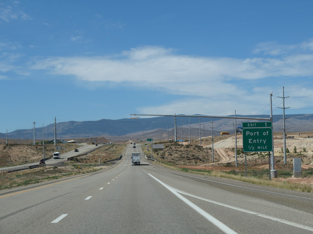
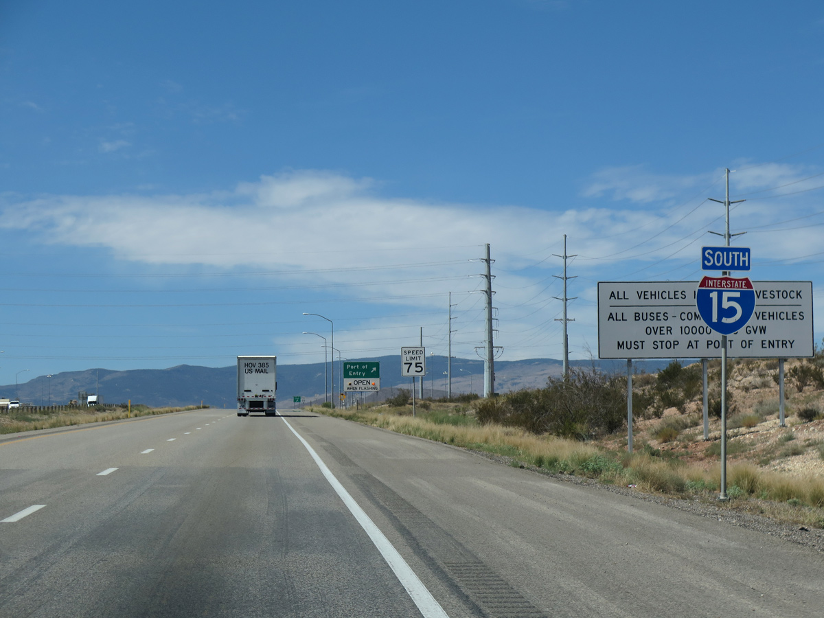
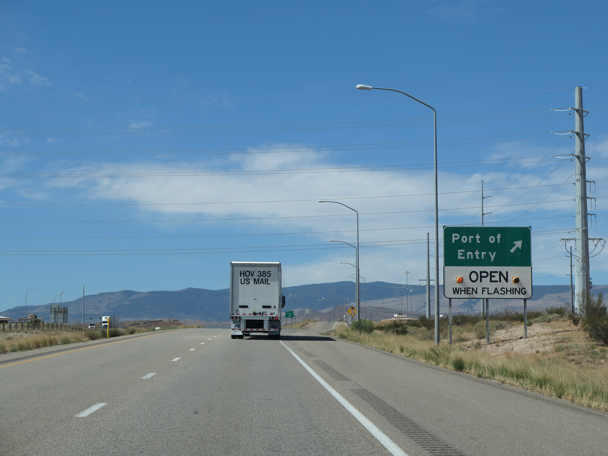
The port of entry (weigh station) along Interstate 15 southbound is assigned Exit 1.
07/12/15
07/12/15
07/12/15
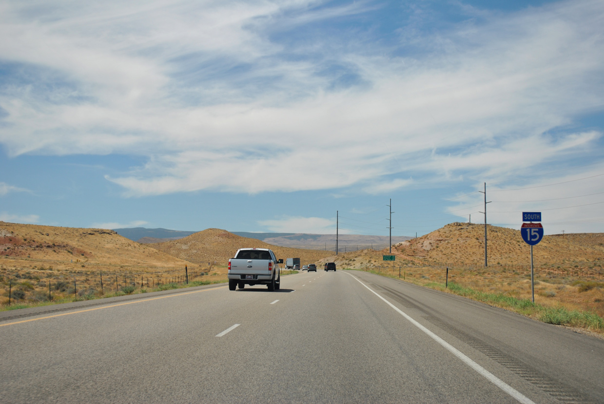
Interstate 15 advances south past Big Valley into the Grand Canyon State.
08/12/11
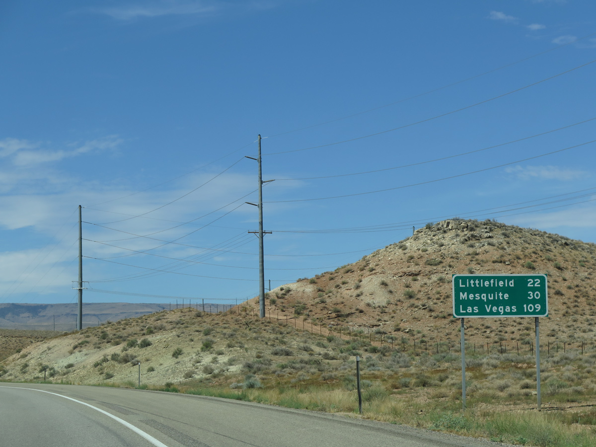
The 22 miles leading southwest to Littlefield, Arizona traverse Virgin River Gorge. I-15 fully opened to traffic through the gorge on December 14, 1973.
07/12/15
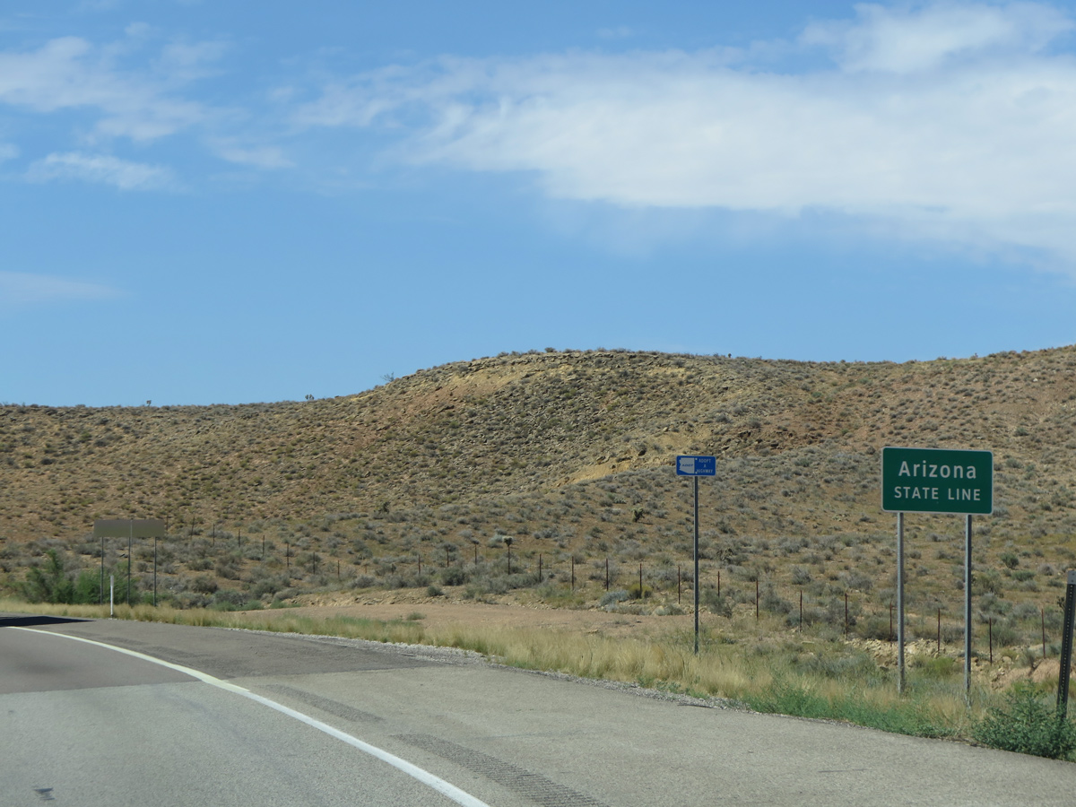
Interstate 15 south enters Mohave County in northwestern Arizona.
07/12/15

Sources:
- Interstate 15, Washington County UT. Washington County Historical Society, web site.
- Washington Parkway. Washington City, project web site.
- St. George Replacement Airport. Washington County Historical Society, web site.
- "Officials announce completion and opening date of final segment of Southern Parkway." St. George News (UT), April 29, 2021.
- History of the Dixie Beltway (aka Southern Washington County Regional Beltway). Washington County Historical Society, web site.
Photo Credits:
- 07/07/11 by Garrett Smith.
- 08/12/11 by AARoads.
- 08/20/11 by AARoads.
- 08/09/14 by AARoads.
- 07/12/15 by AARoads.
- 08/12/16 by AARoads.
Connect with:
Business Loop I-15 / State Route 34 - St. George
State Route 7 - Southern Parkway
State Route 18
Former State Route 212
Page Updated 02-19-2022.