The Parowan business loop forms an L-shaped route for 3.908 miles along 200 South and Main Street (old U.S. 91). The route overlaps with SR 143 for 2.651 miles between Exit 75 and Center Street, and SR 274 north from the Parowan city center 1.257 miles to Exit 78.
|
| Business Loop I-15 accompanies the initial 2.7 miles of SR 143 from Interstate 15 into Parowan. SR 143 travels 51.21 miles overall to U.S. 89 in Panguitch. 07/15/17 |
|
| Traveling east along 200 South, Business Loop I-15/SR 143 straddle the Parowan city line to 600 West. 07/15/17 |
|
| Entering the Parowan street grid, 200 South proceeds six blocks east to Main Street. Travelers headed to Cedar Breaks National Monument and Dixie National Forest will follow SR 143 south from the city through Parowan Canyon. 07/15/17 |
|
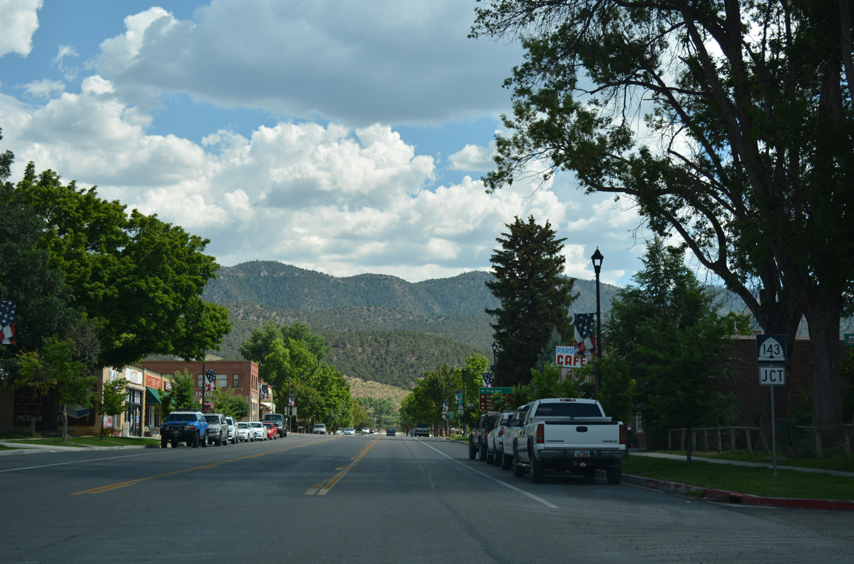
| The first shield for Business Loop I-15 north precedes Main Street on 200 South. 07/15/17 |
|
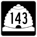
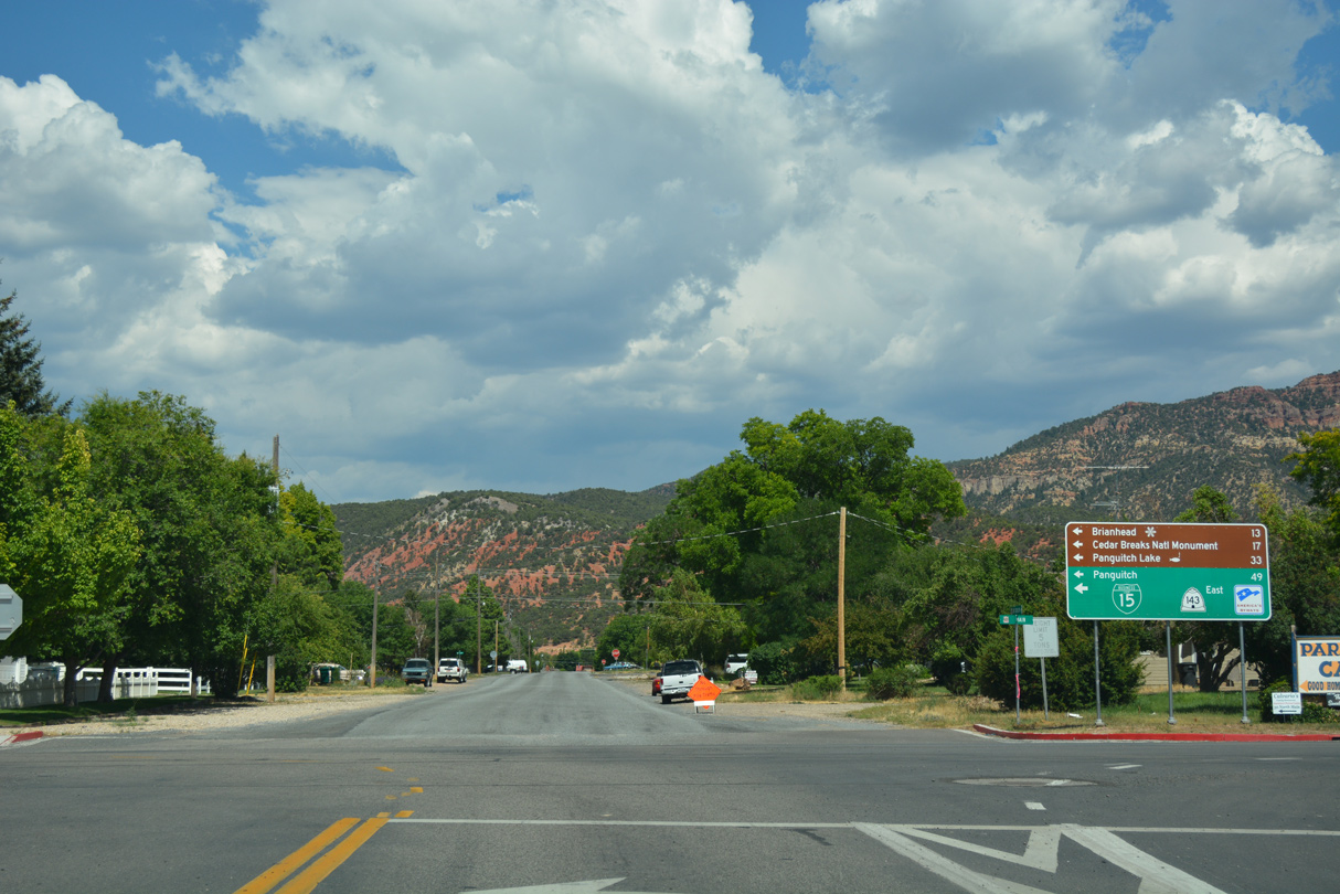
| Business Loop I-15/SR 143 follow Main Street north two blocks to Center Street. SR 143 meanders south from Parowan 13 miles to Brianhead ski resort and 16 miles to SR 148 to Cedar Breaks National Monument. 07/15/17 |
|
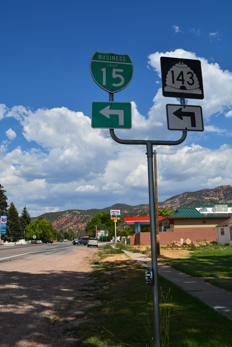
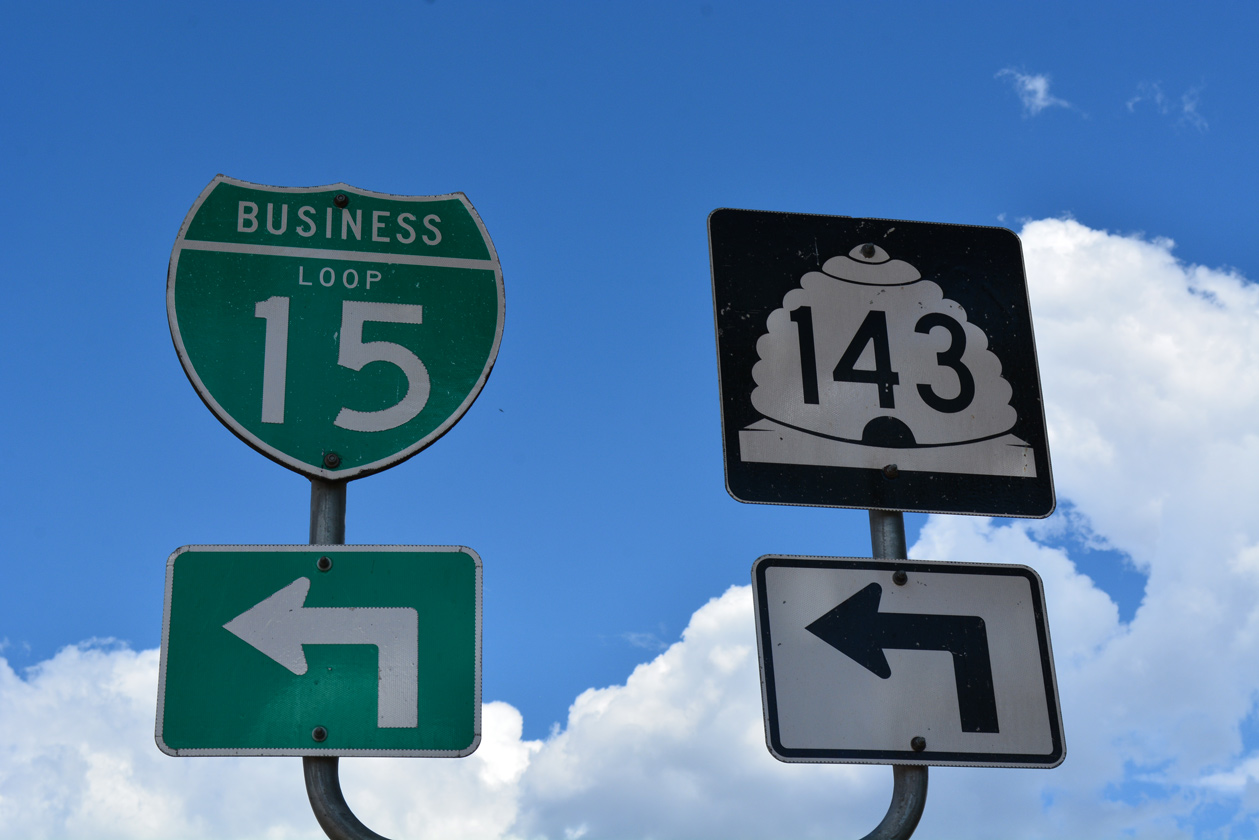
| Northbound Business Loop I-15/SR 143 part ways at Center Street in Downtown Parowan. 07/15/17 |
|
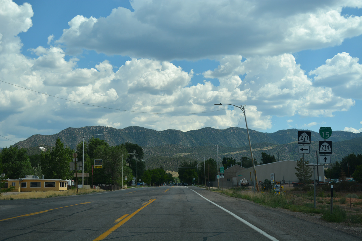
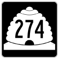
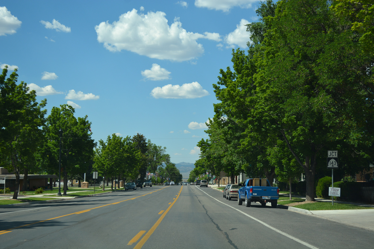
| SR 143 turns east three blocks along Center Street to South Canyon Road near the Iron County Fairgrounds. SR 274 begins and accompanies Business Loop I-15 along the remainder of Main Street north. 07/15/17 |
|
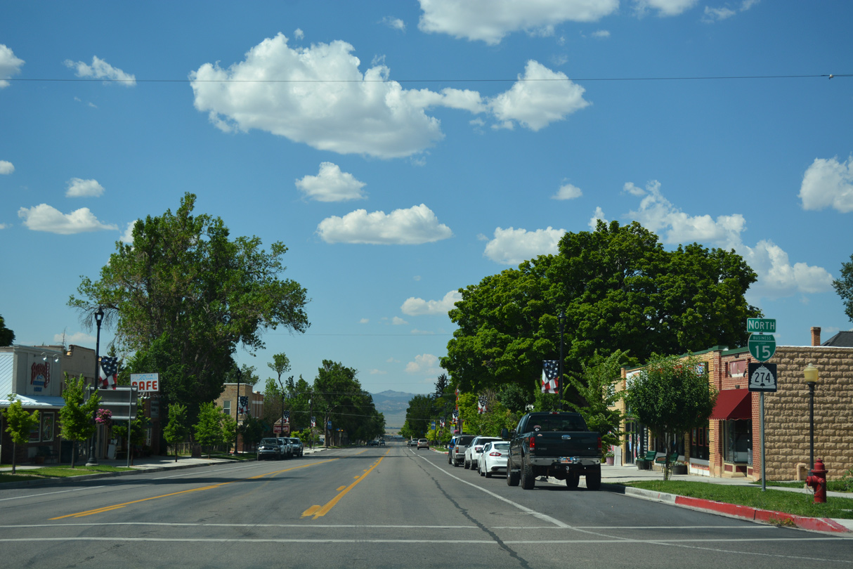
| SR 274 accompanies Business Loop I-15 north for its entire 1.257 mile route in Parowan. 07/15/17 |
|
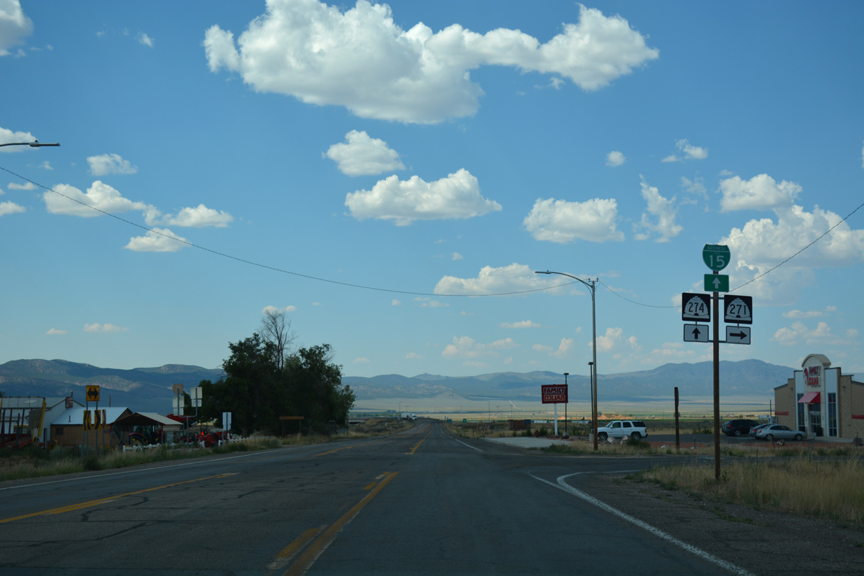
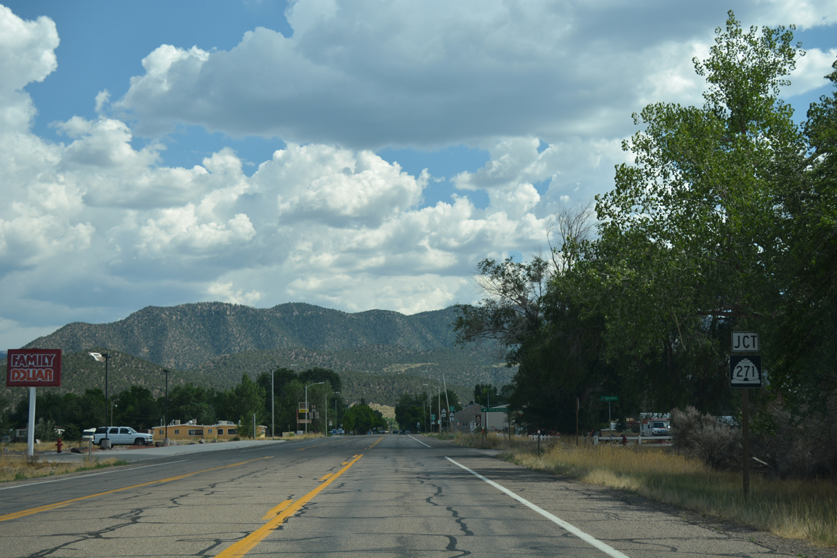
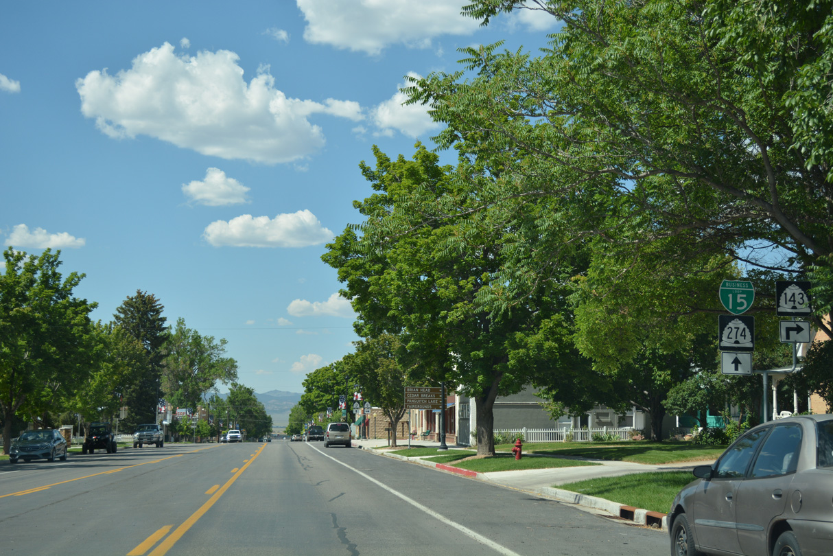
| Five blocks removed from SR 143 (Center Street), Main Street north approaches SR 271. SR 271 follows old U.S. 91 northeast to Paragonah. 07/15/17 |
|
| SR 271 begins and runs along the south side of Parowan Airport (1L9). The town of Paragonah lies 3.5 miles to the northeast. 07/15/17 |
|
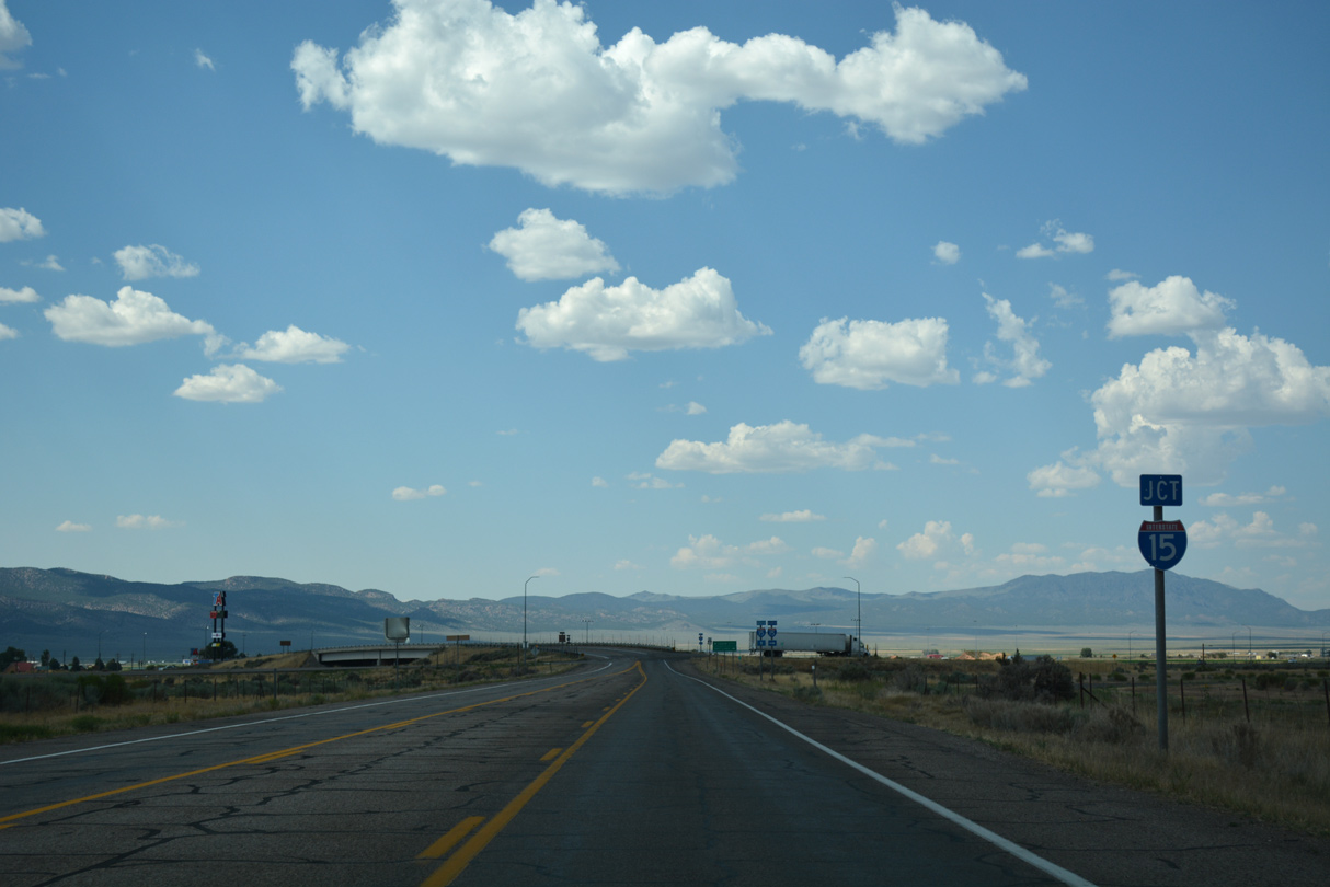
| The easternmost of the Black Mountains rise along the west side of Parowan Valley beyond the forthcoming exchange with Interstate 15. 07/15/17 |
|
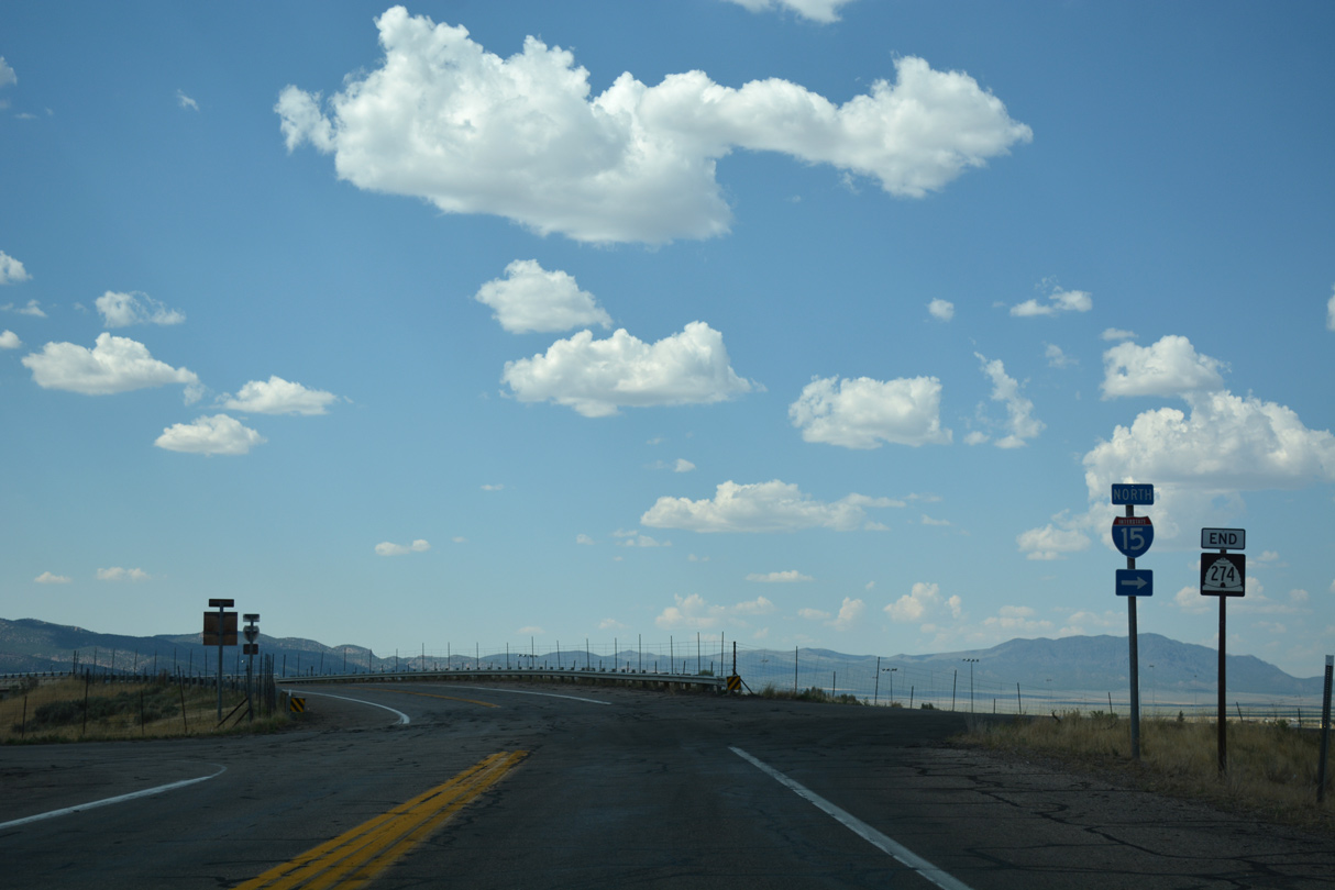
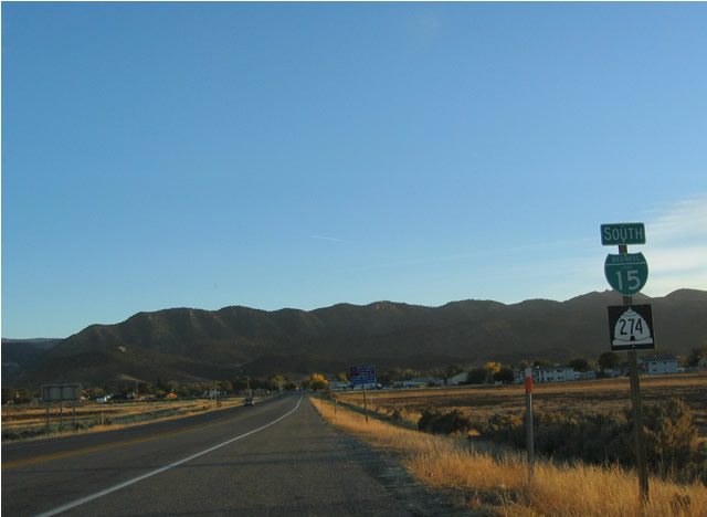
| SR 274 end shield posted at the Business Loop I-15 return to Interstate 15 in north Parowan. 07/15/17 |
|
| 100 West extends north from SR 274 and I-15 across farm land to areas east of Little Sale Lake. 07/15/17 |
|
| 100 West angles southeast into a diamond interchange (Exit 78) with Interstate 15 at the north end of Business Loop I-15/SR 274 (Main Street). 07/15/17 |
|
| Interstate 15 bypasses the west side of Parowan between North Main Street and 200 South. 07/15/17 |
|
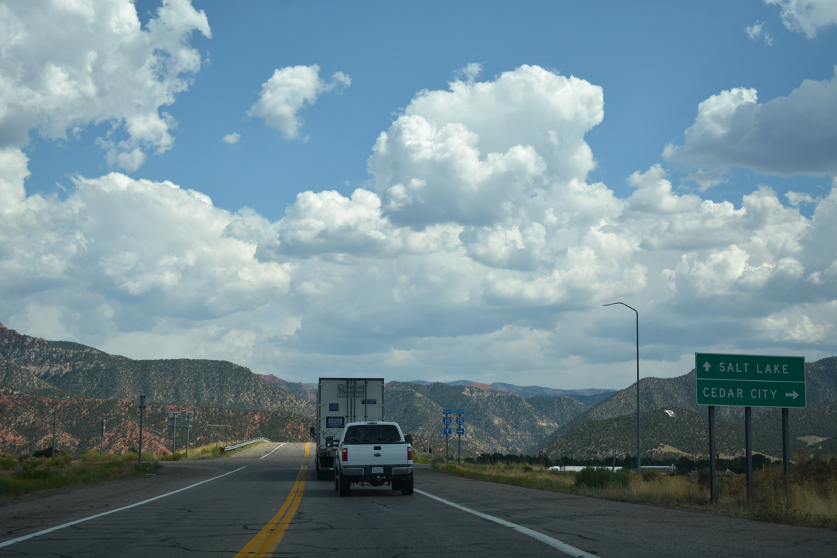
| Heading north, Interstate 15 travels to the north end of Parowan Valley to Beaver County, where it climbs through Nevershine Hollow toward the city of Beaver. 07/15/17 |
|
| These confirming shields for Business Loop I-15/SR 274 posted south of I-15 were removed by 2008. 10/24/03 |
|
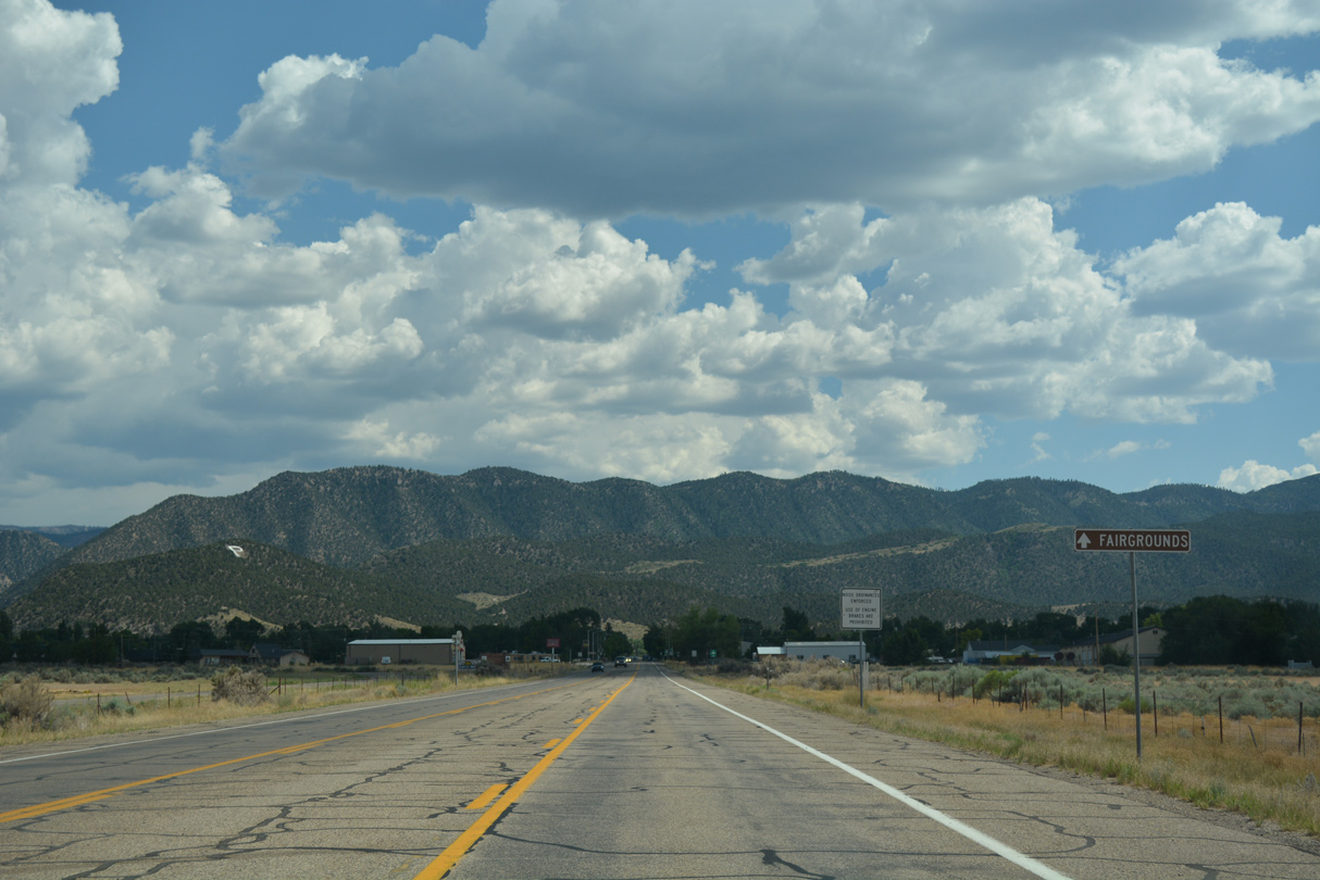
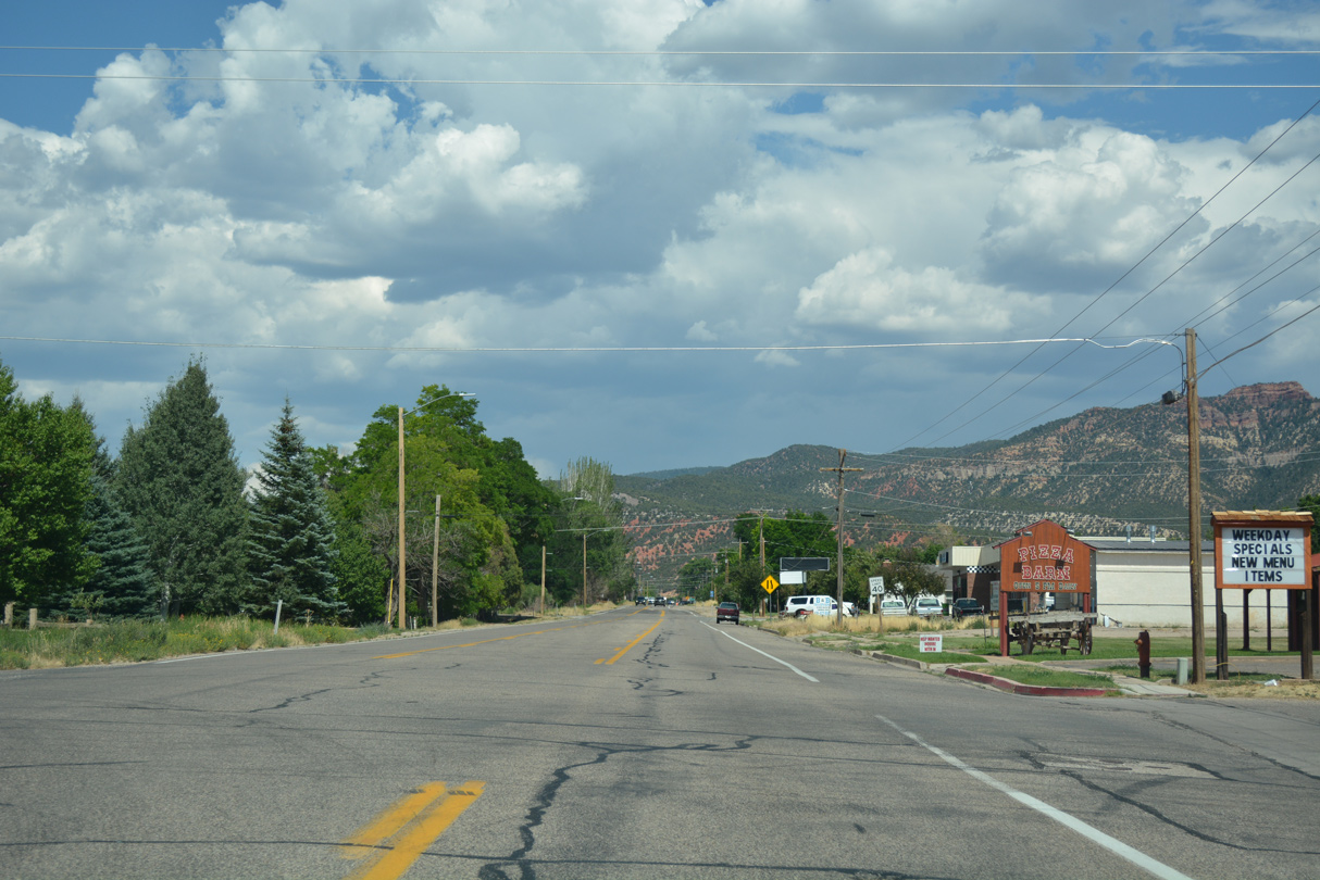
| Grass Valley and the Hurricane Cliffs overlook Parowan as Main Street leads south with three lanes. The Iron County Fairgrounds lie two blocks east of Downtown. 07/15/17 |
|
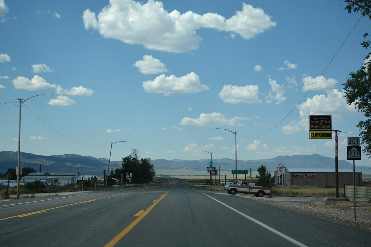
| SR 271 (old U.S. 91) converges with Business Loop I-15/SR 274 southwest of nearby Parowan Airport (1L9). 07/15/17 |
|
| SR 271 constitutes a 5.65 mile loop along historic U.S. 91 from Parowan north to the town of Paragonah and Interstate 15 at Exit 82. 07/15/17 |
|
| The first reassurance shield for Business Loop I-15 south appears beyond the south end of SR 271 on Main Street. 07/15/17 |
|
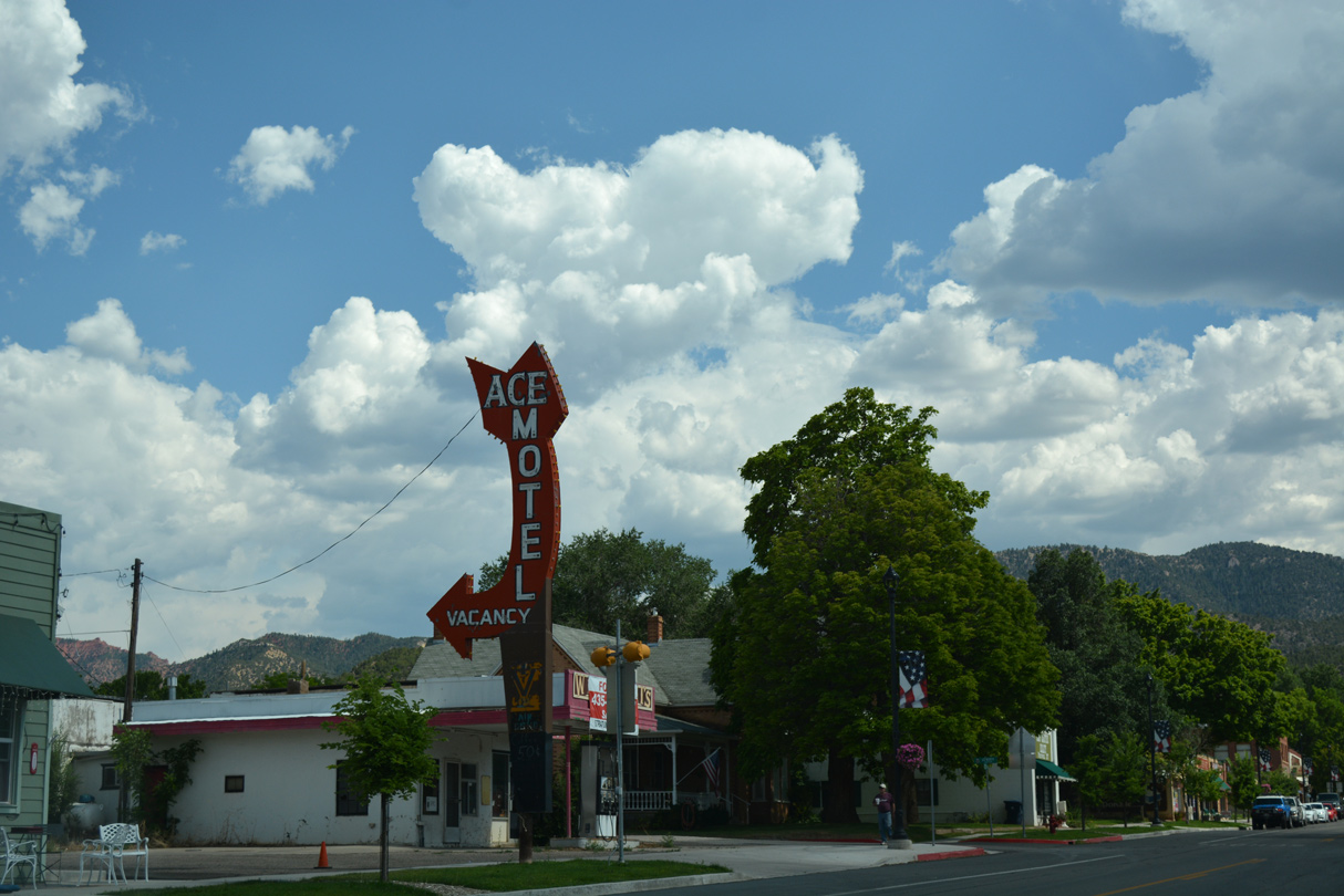
| A vintage motel sign along Main Street south at 60 North in Downtown Parowan. 07/15/17 |
|
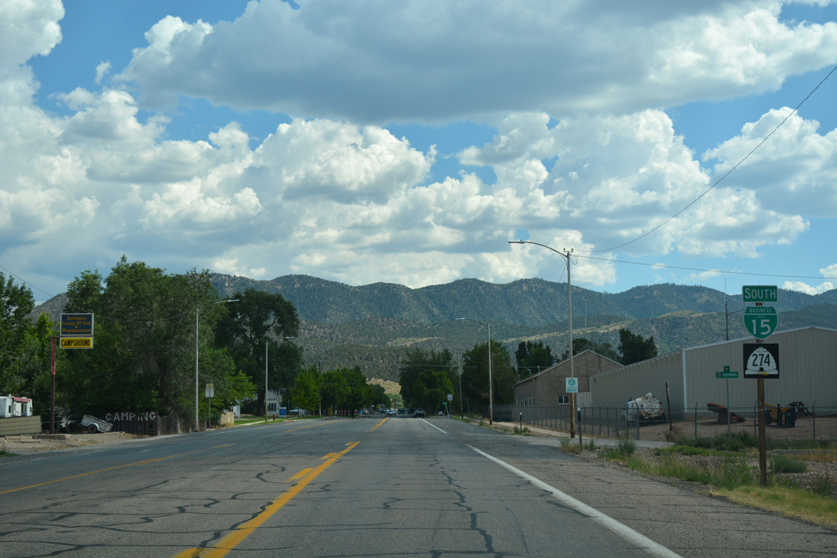
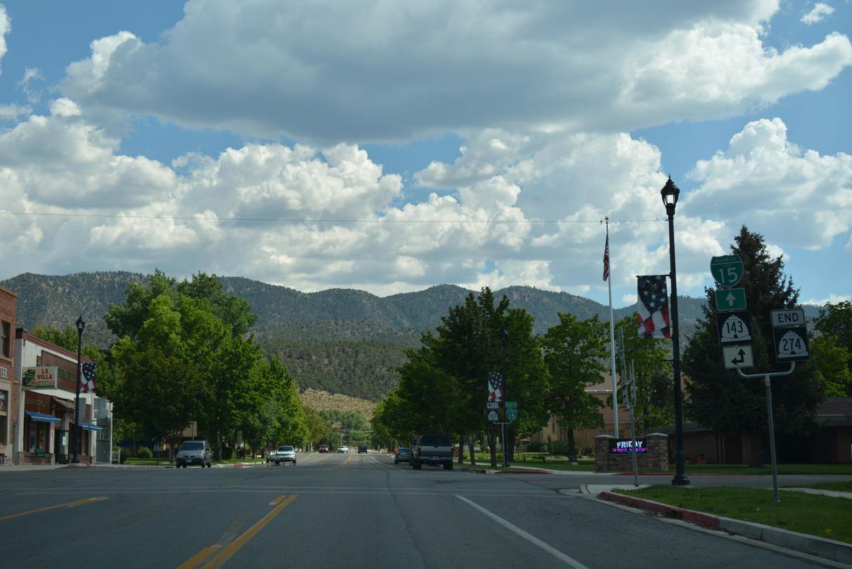
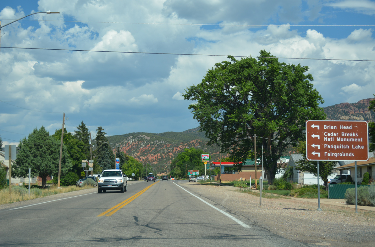
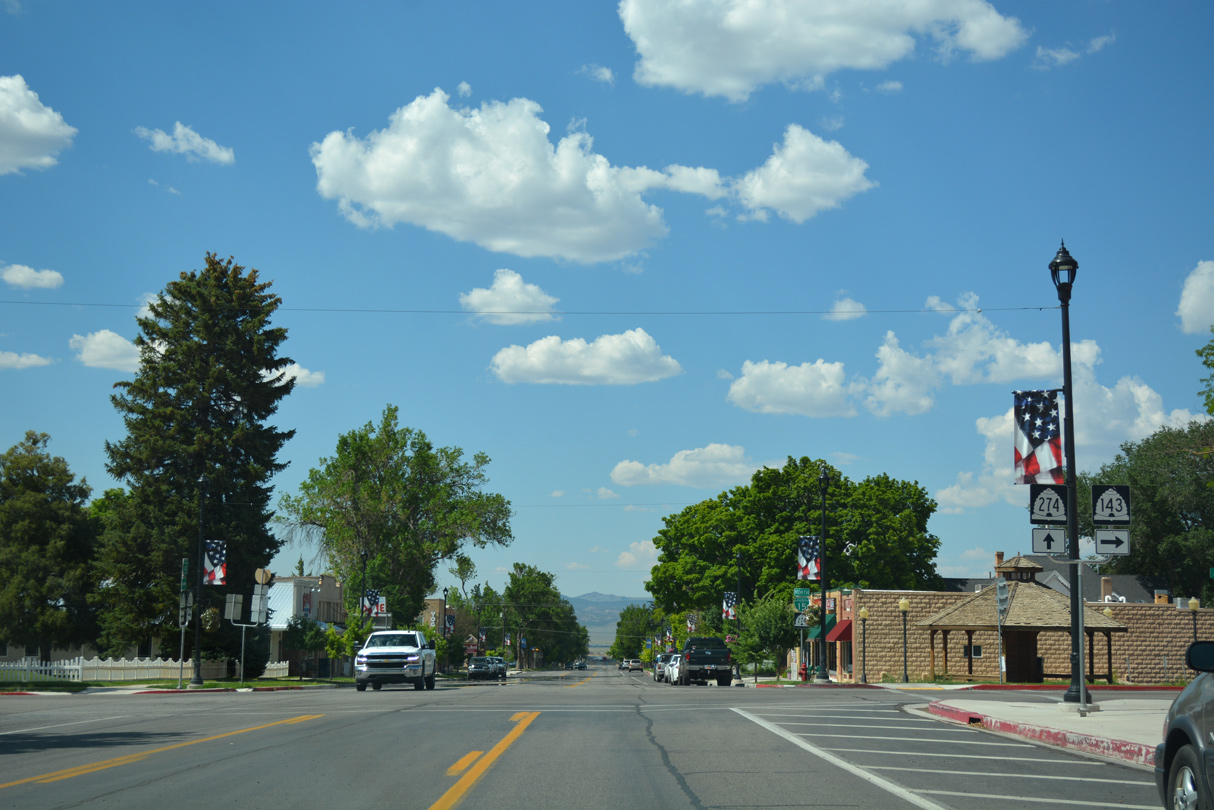
| SR 274 ends at the upcoming intersection with Center Street. SR 143 enters the Parowan city center from South Canyon Road, three blocks to the east near the Iron County Fairgrounds. 07/15/17 |
|
| SR 143 overtakes SR 274 as the accompanying route of Business Loop I-15 leading south from Downtown. The state route travels a U-shaped course from Parowan south to Cedar Breaks and east to Panguitch Lake, South Canyon and U.S. 89 in the city of Panguitch. 07/15/17 |
|
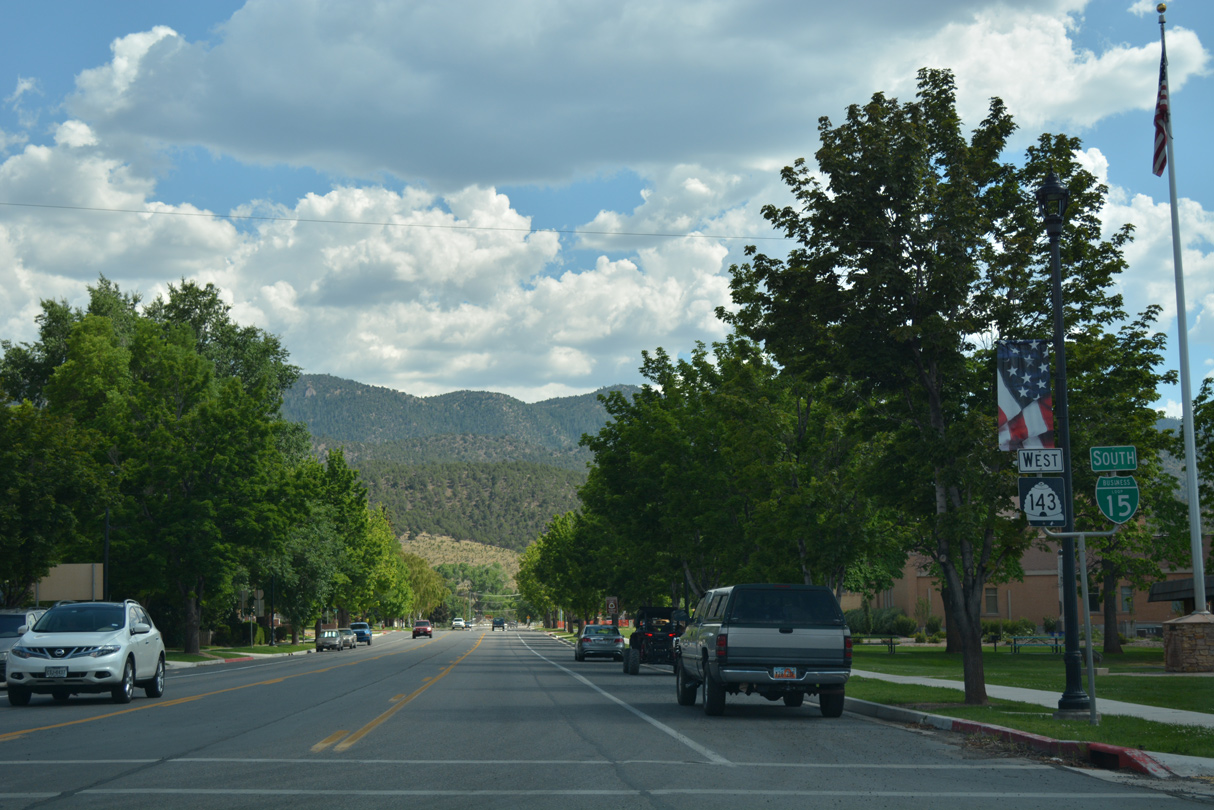
| Business Loop I-15 south / SR 143 west follow Main Street for another three blocks from the city center. 07/15/17 |
|
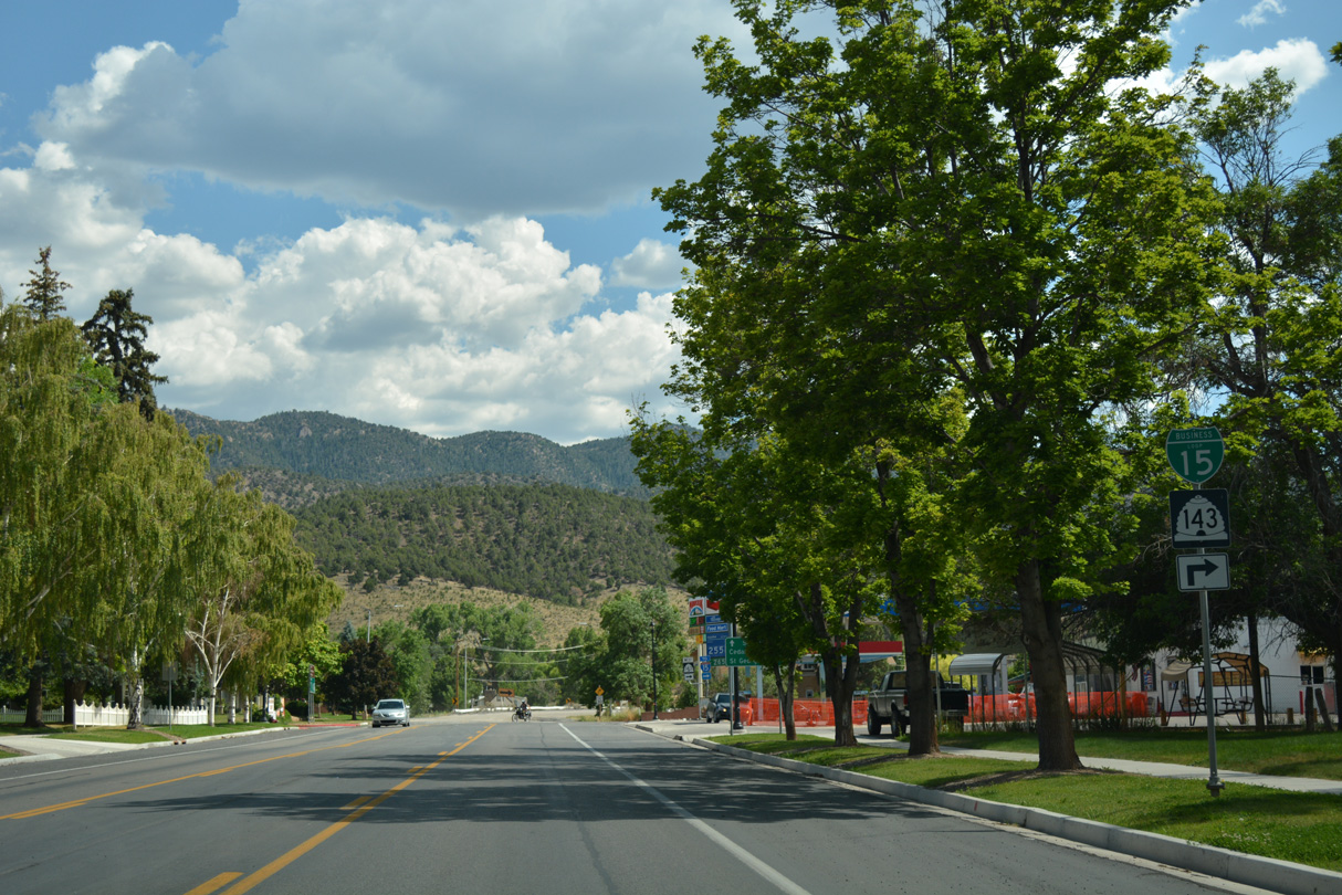
| Approaching the western turn of Business Loop I-15 onto 200 South. Main Street extends one block further to Old US Highway 91, which hugs the northern edge of the Hurricane Cliffs through southwest Parowan. 07/15/17 |
|
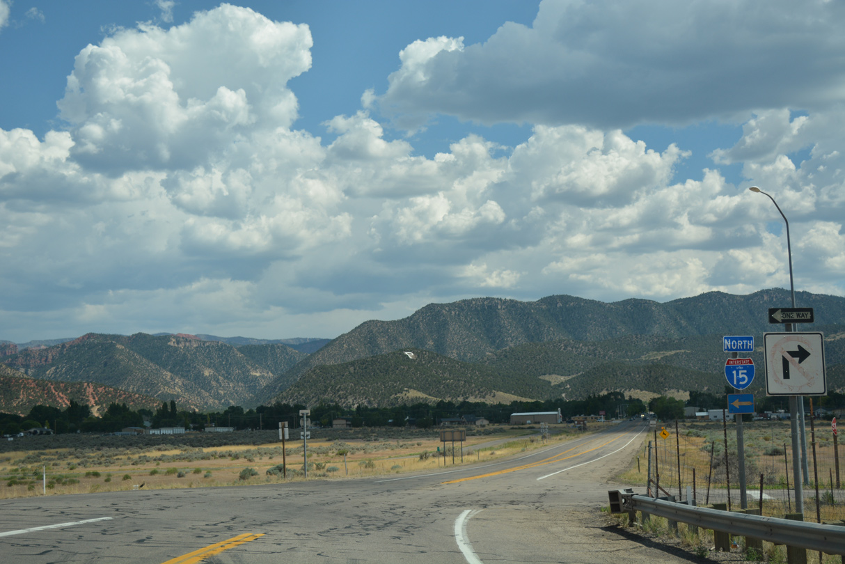
| 200 South takes Business Loop I-15 back to I-15. Old US Highway 91 continues 6.3 miles to the unincorporated community of Summit. 07/15/17 |
|
| The final shield for Business Loop I-15 stands just beyond Main Street. The two routes proceed west six blocks through the residential street grid of Parowan. 07/15/17 |
|
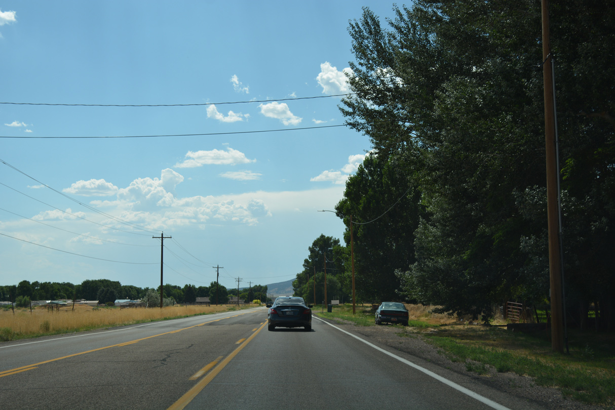
| The west side of Parowan is somewhat rural, with some agricultural areas mixed in with subdivisions. 07/15/17 |
|
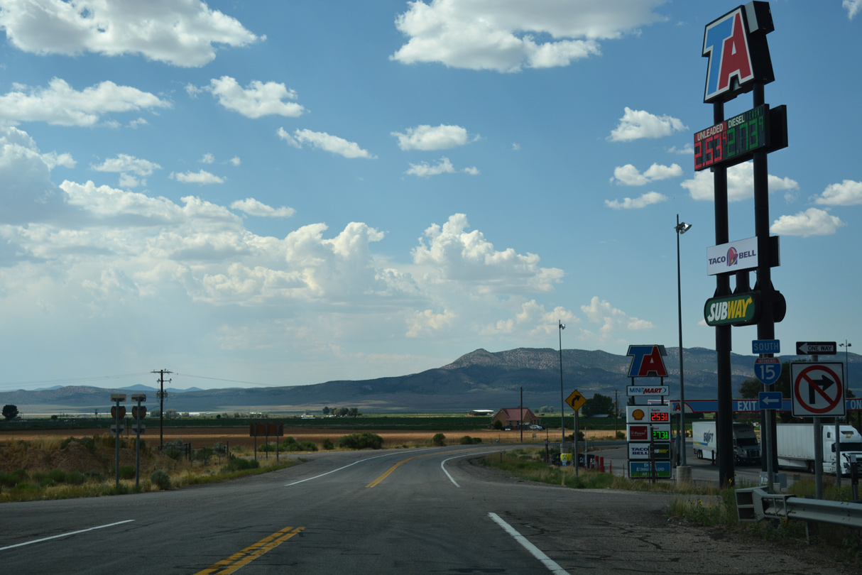
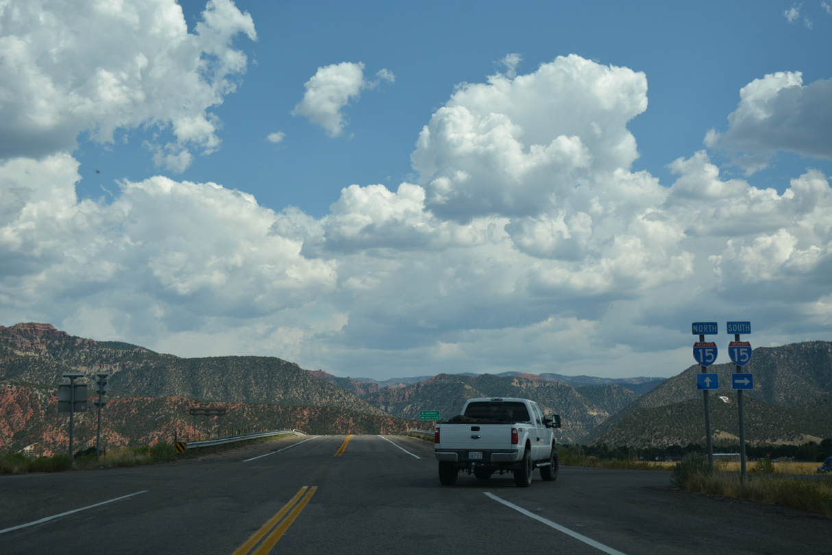
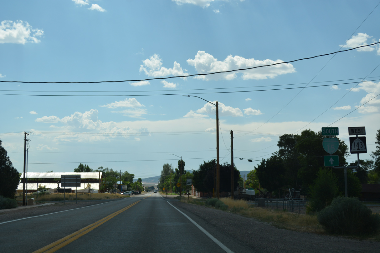
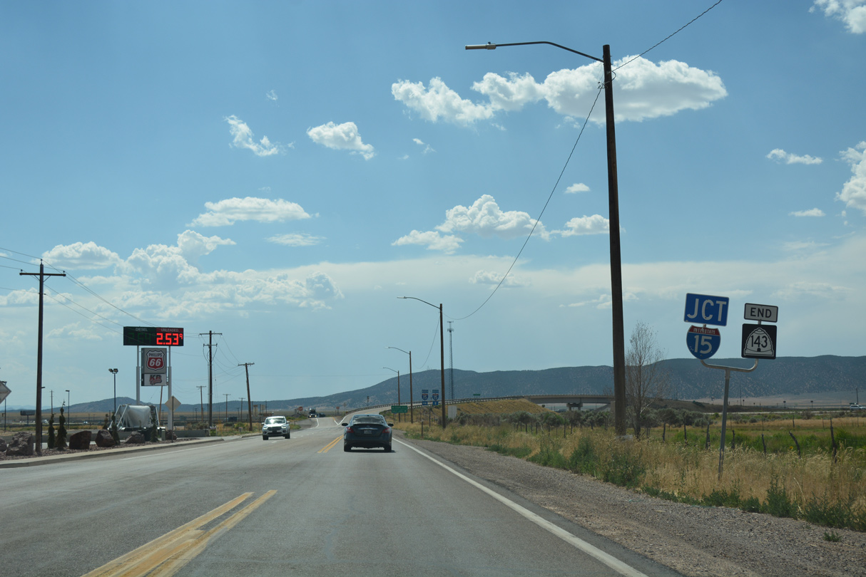
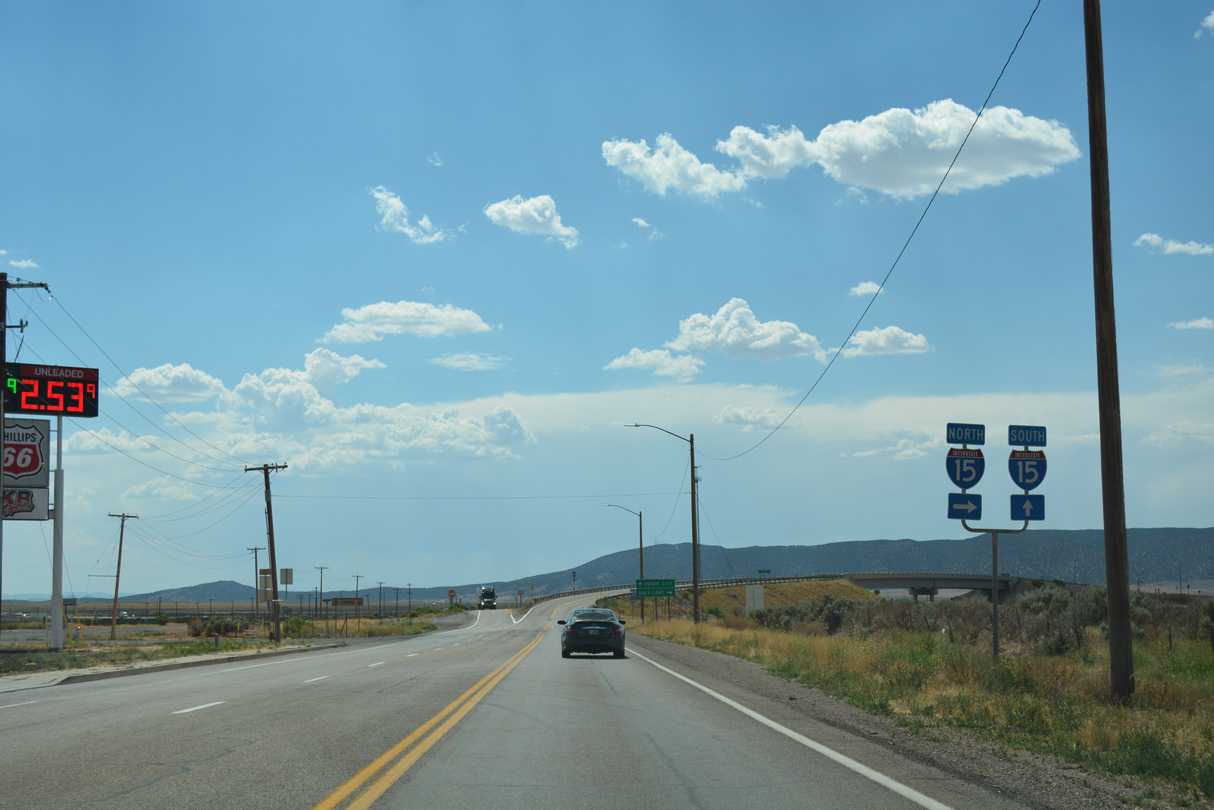
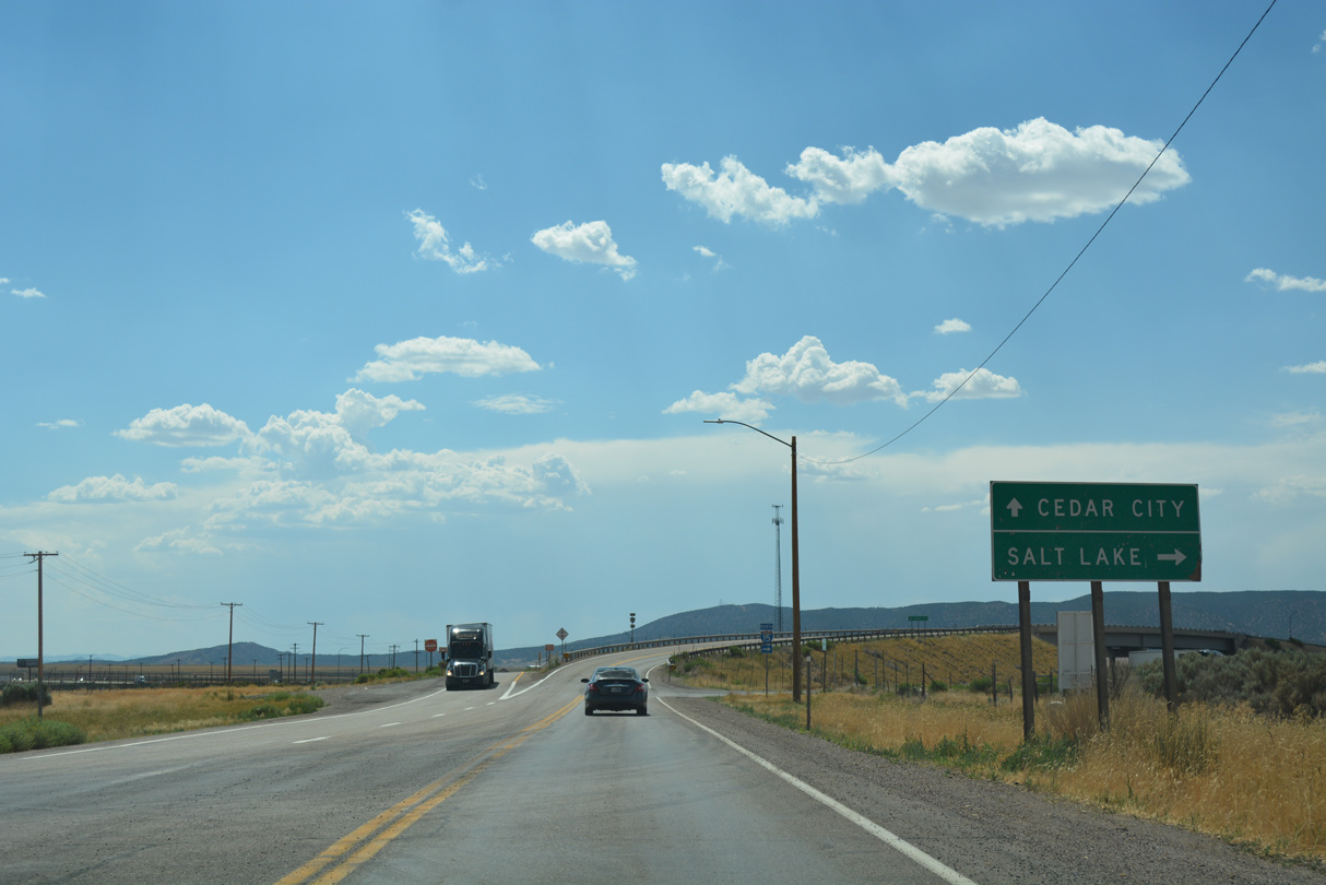
| An end shield for SR 143 precedes the diamond interchange (Exit 75) joining 200 South with Interstate 15. 07/15/17 |
|
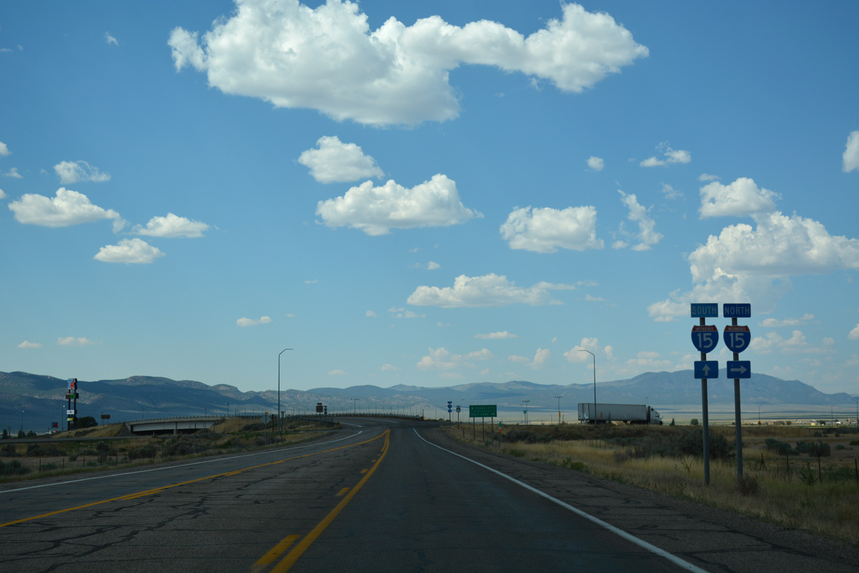
| Business Loop I-15 concludes at the ramps for I-15 north to Provo and Salt Lake City and south to Cedar City and St. George. 07/15/17 |
Page Updated 06-28-2018.


 North
North  East
East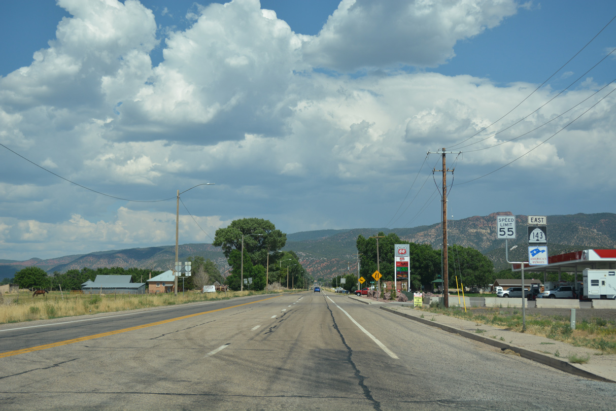
 North
North