
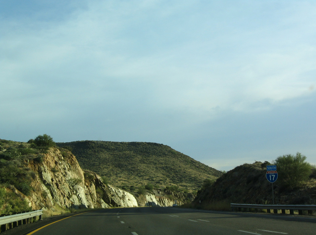
 South
South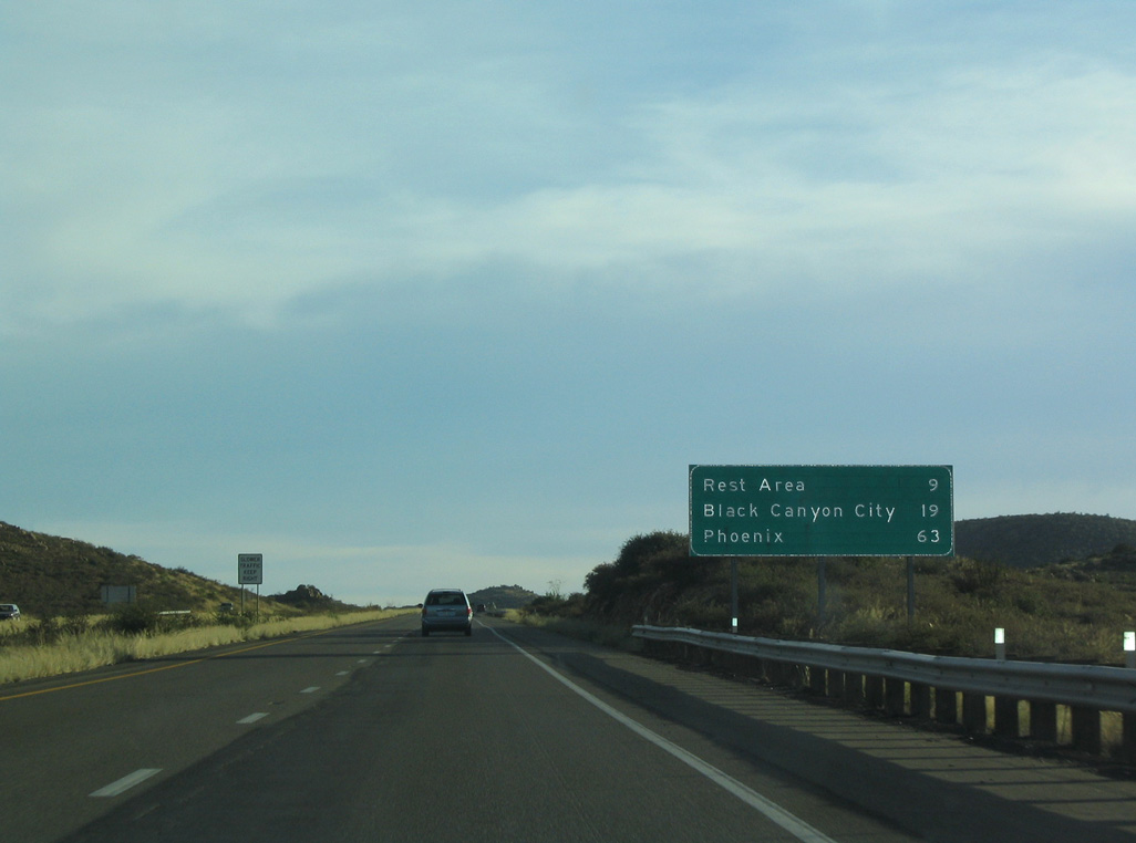
10/27/03
10/27/03
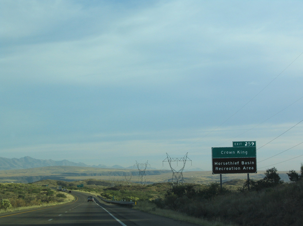
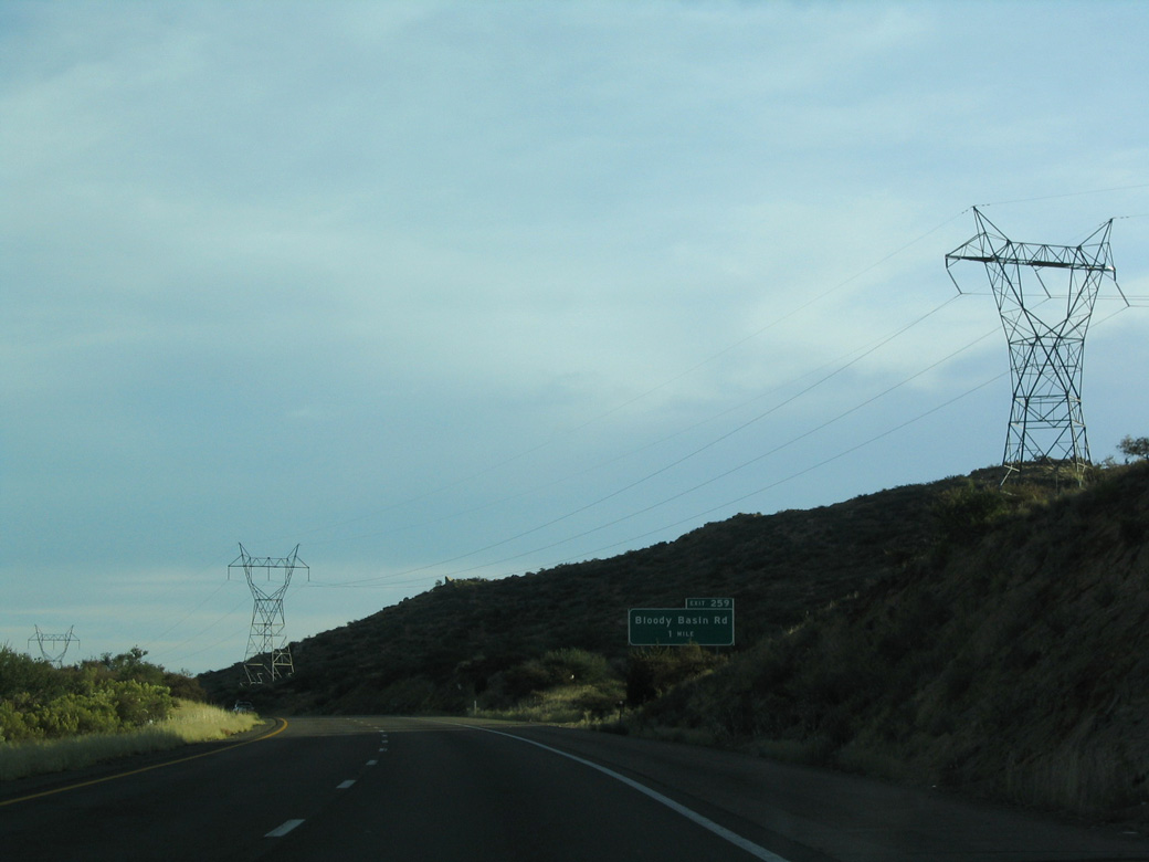
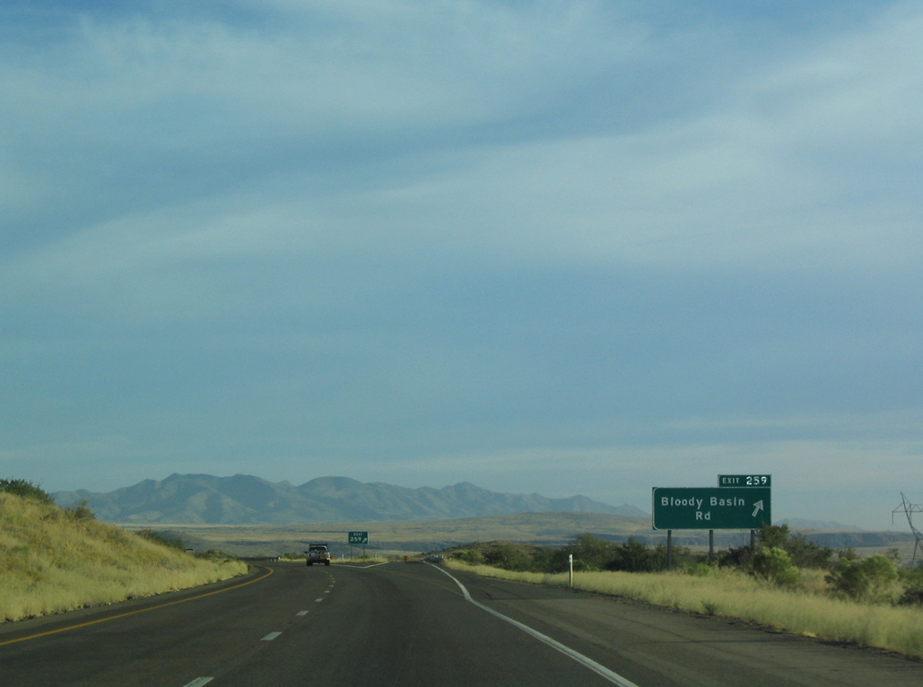
Exit 259 for Bloody Basin Road leads to Crown King and Horsethief Basin Recreation Area.
10/27/03
10/27/03
10/27/03
10/27/03
10/27/03
10/27/03

10/27/03
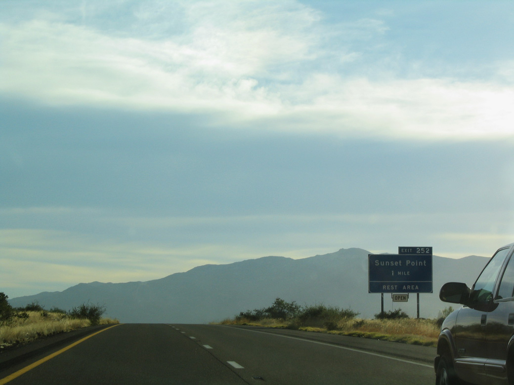
The scenic Sunset Point rest area (Exit 252) is the last rest area along I-17 southbound.
10/27/03
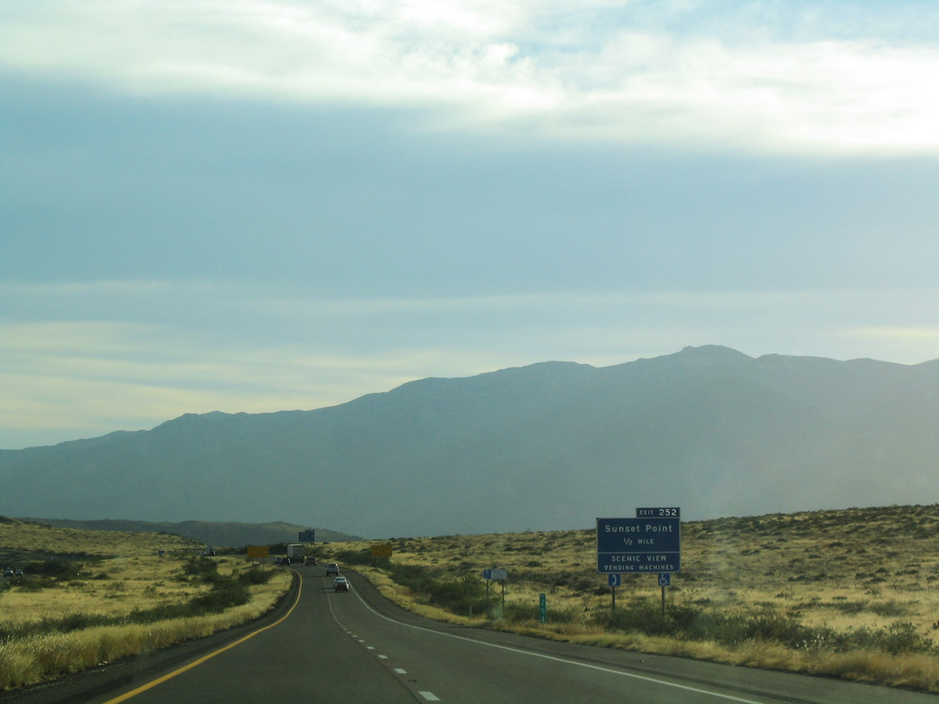
The Sunset Point Rest Area overlooks Black Canyon above Sunset Point and Sheep Gulch.
10/27/03
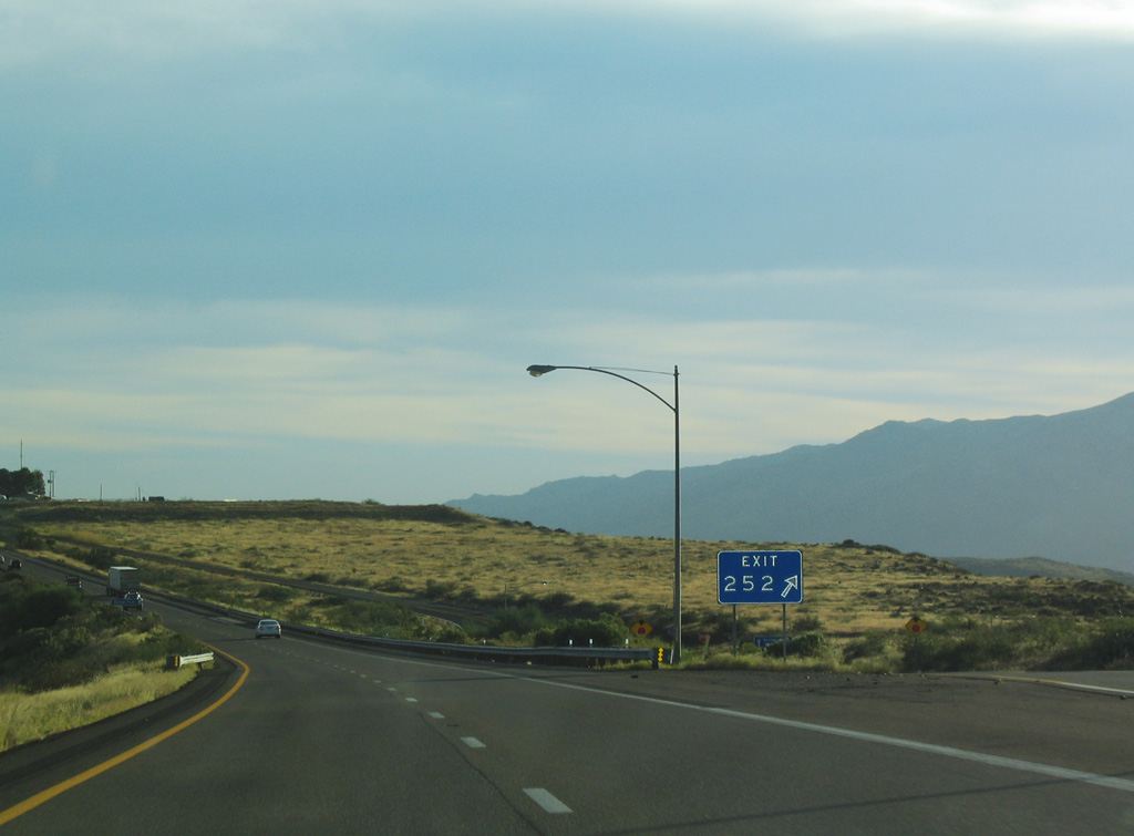
The diamond interchange at Exit 252 links with Sunset Path, a frontage road along the west side of I-17 to the Sunset Point Rest Area.
10/27/03
10/27/03
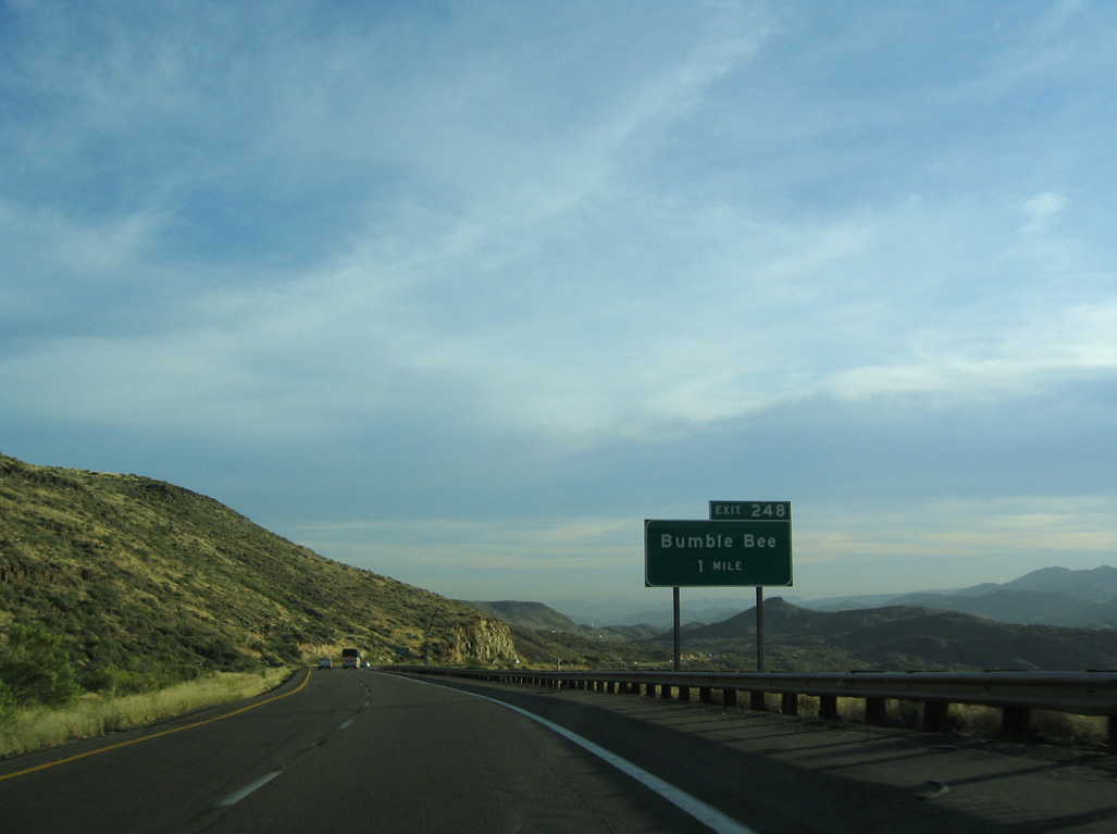
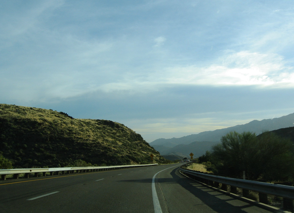
Bumble Bee meanders south from Bumble Bee and Black Canyon to a modified diamond interchange (Exit 248) with Interstate 17.
10/27/03
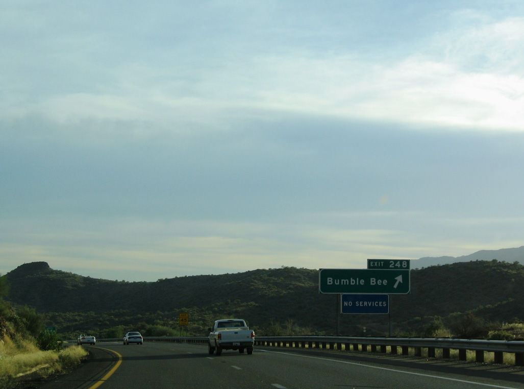
Bumble Bee Road north ties into an old alignment of SR 69 along Bumble Bee Creek.
10/27/03
10/27/03

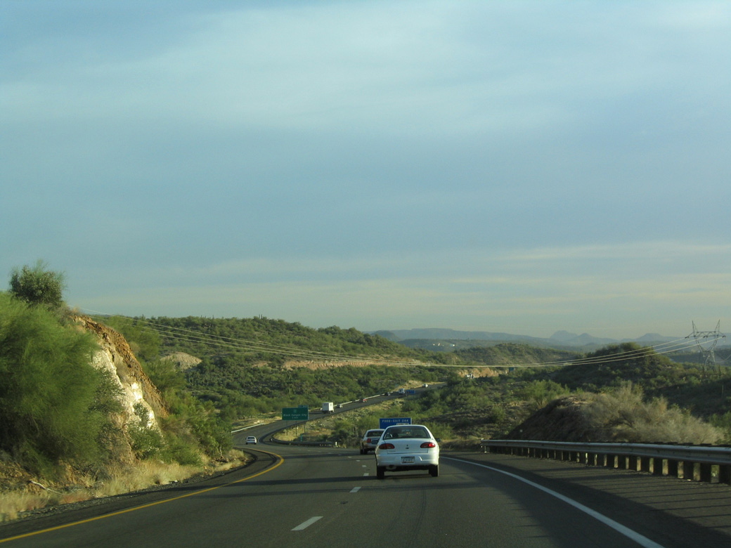
Continuing five miles south to Black Canyon City, Interstate 17 lowers along Black Mesa toward the desert, and area plants become more typical of a desert environment.
10/27/03
The roadways of Interstate 17 separate with a wide median along most of Black Mesa.
10/27/03
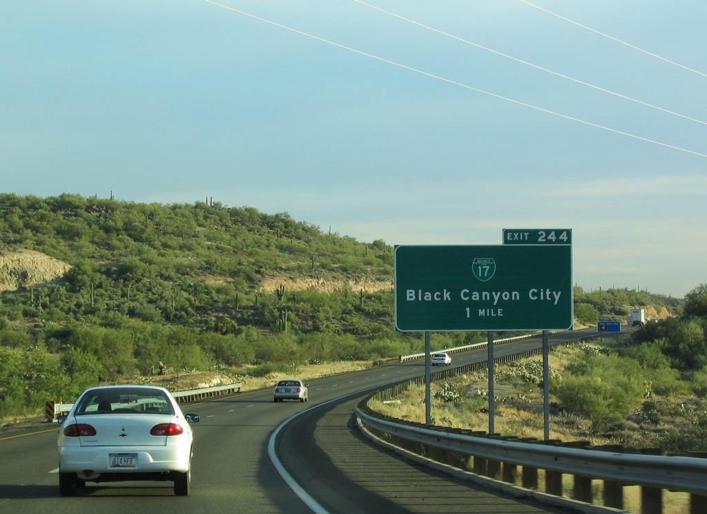
Old Black Canyon Highway separates from Interstate 17 south through the unincorporated community of Black Canyon in one mile.
10/27/03
Old Black Canyon Highway was formerly designated Business Loop I-17. The loop ran 3.5 miles south from Exit 244 to I-17 just beyond the Maricopa County line.
10/27/03
Paralleling Black Canyon Creek, Old Black Canyon Road follows old SR 69 south to the Black Canyon City business district across the Agua Fria River.
10/27/03
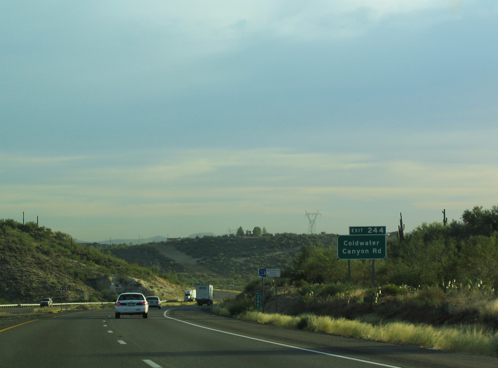
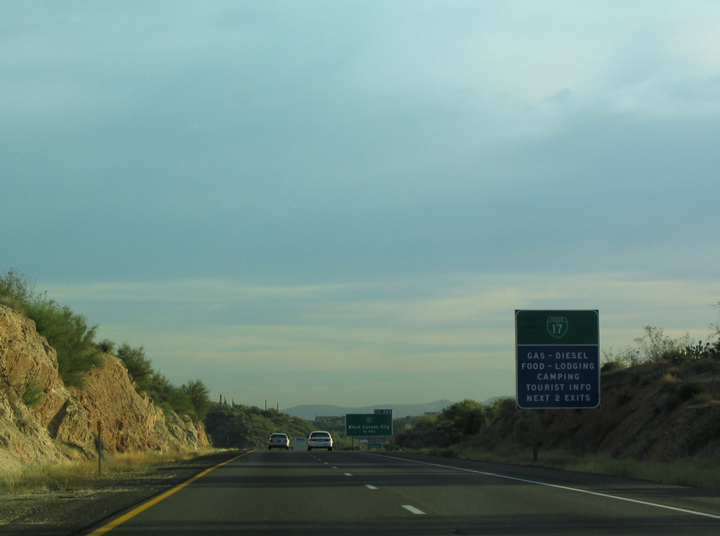
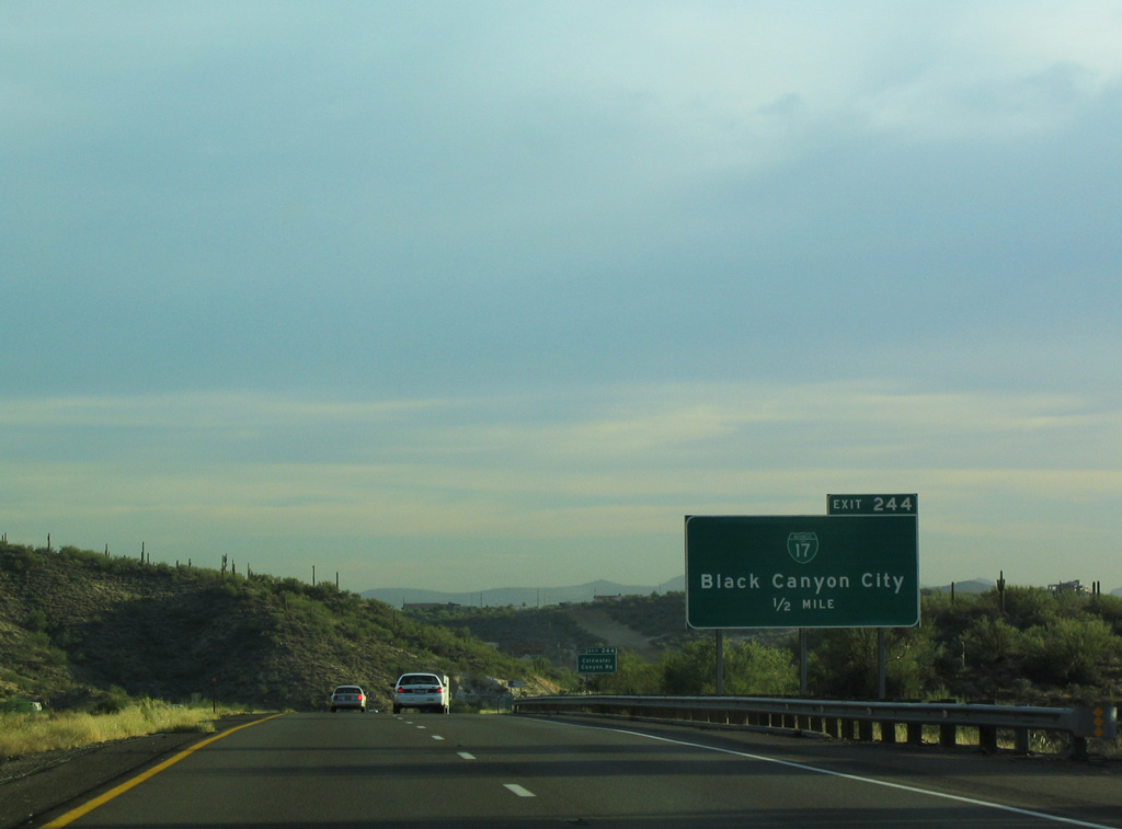
Since amended to display Coldwater Road, Exit 244 connects with Coldwater Road to Squaw Valley Road in east Black Canyon City.
10/27/03
10/27/03
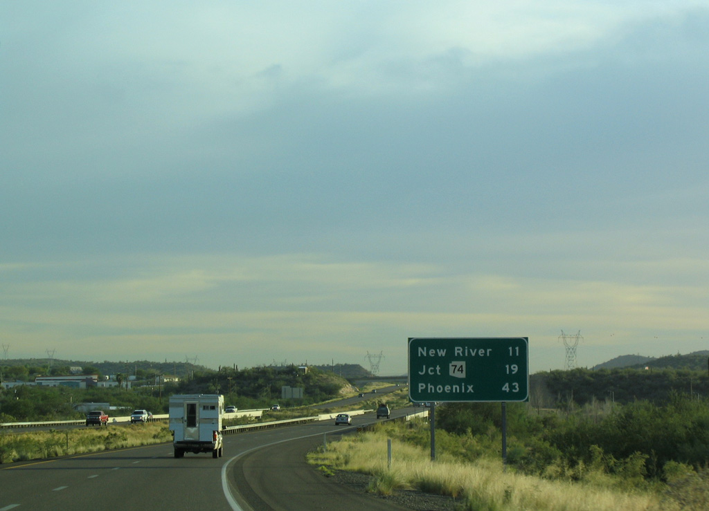
Phoenix lies 43 miles south of Black Canyon City along Interstate 17.
10/27/03
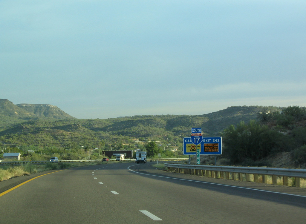
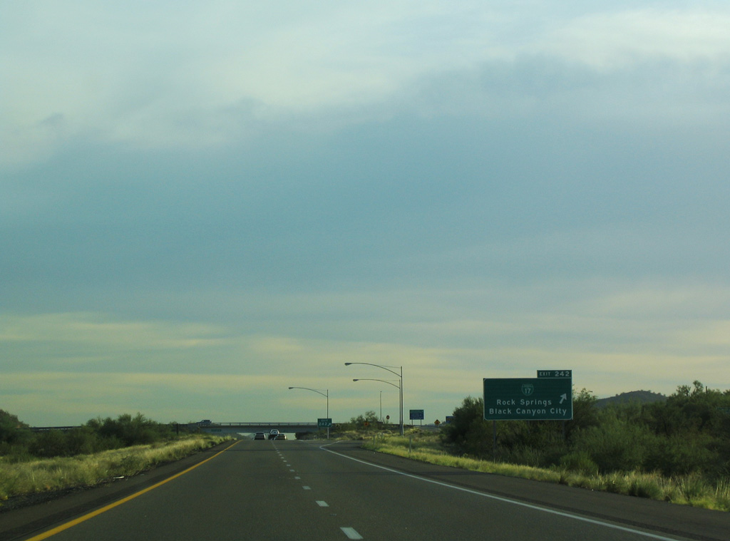
Old Black Canyon Highway (former Business Loop I-17) returns to Interstate 17 along the west side of the freeway at Exit 242.
10/27/03
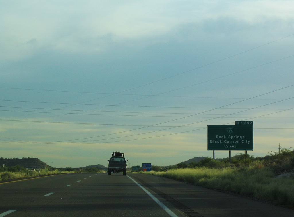
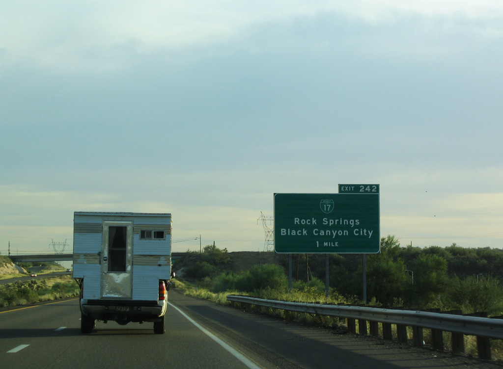
Old Black Canyon Highway parallels I-17 south to nearby Rock Springs.
10/27/03
Velda Rose Road runs along the east side of I-17 from Exit 242 north to Mud Springs Road in Black Canyon City.
10/27/03
Interstate 17 spans Moores Gulch south ahead of Table Mountain.
10/27/03
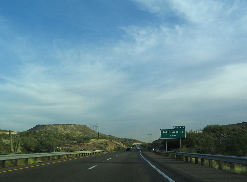
The succeeding exit along Interstate 17 south with Table Mesa Road.
10/27/03
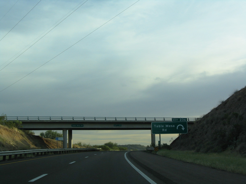
Table Mesa Road parallels the New River east from the parclo interchange at Exit 236 into the New River Mountains.
10/27/03
10/27/03
10/27/03
10/27/03
10/27/03
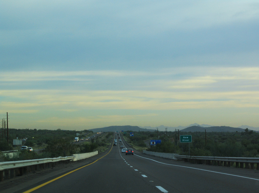
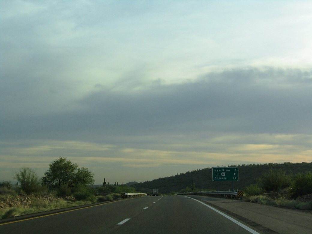
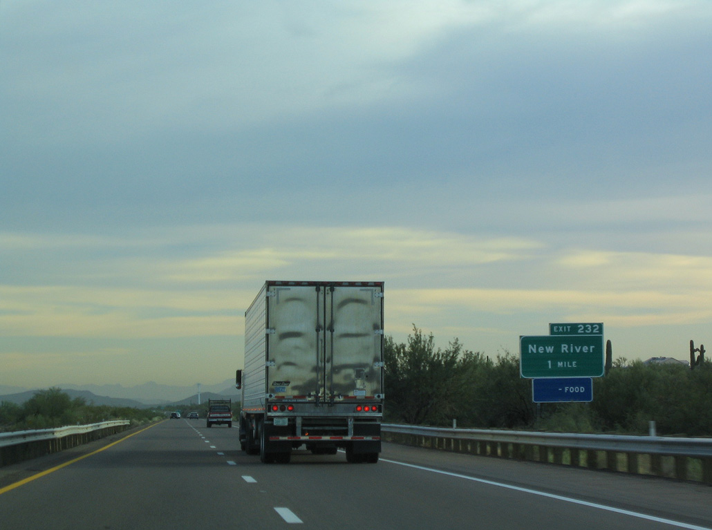
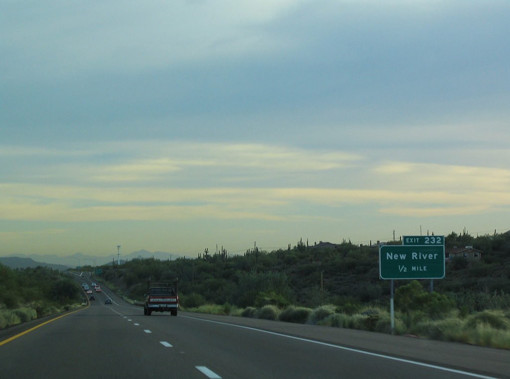
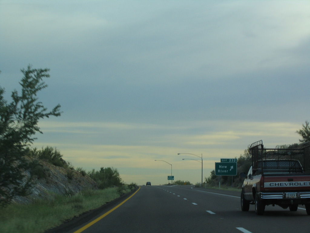
Interstate 17 crosses the New River just south of Exit 232.
10/27/03
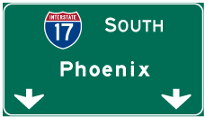
Photo Credits:
10/27/03 by AARoads
Connect with:
State Route 89A
State Route 169 - Cherry Road
State Route 260
Page Updated 04-23-2022.