|
| One mile ahead of Exit 201 for SH 8 on IH 30 eastbound. 04/25/08 |
|
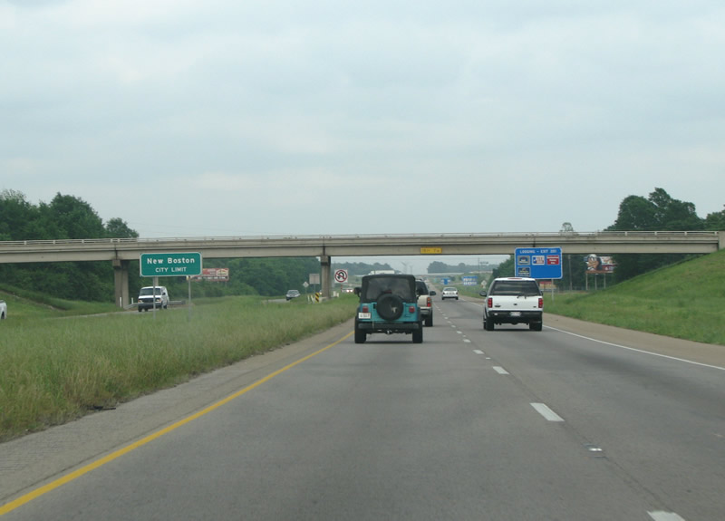
| New Boston is the county seat of Bowie County. The town got its start in the summer of 1876 when the railroad was being built through the area. Residents of Boston packed up their town and moved it four miles north to the rails - renaming it in the process. 04/25/08 |
|
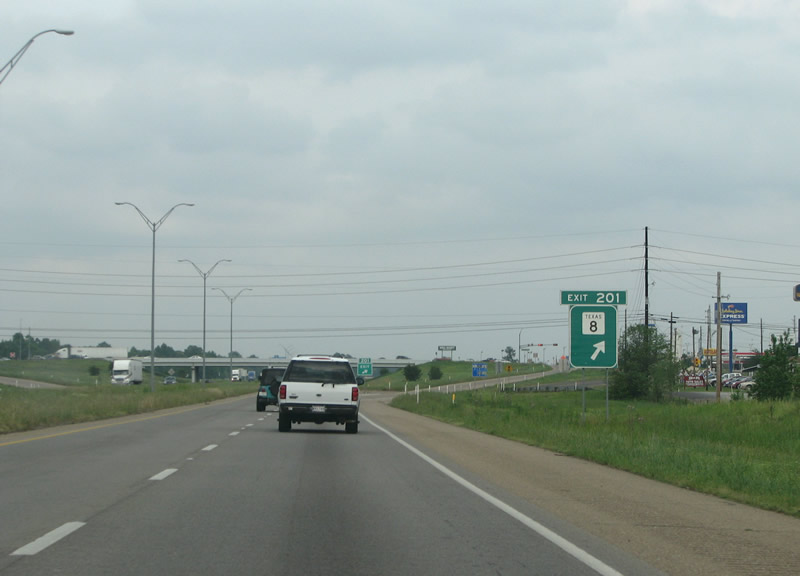
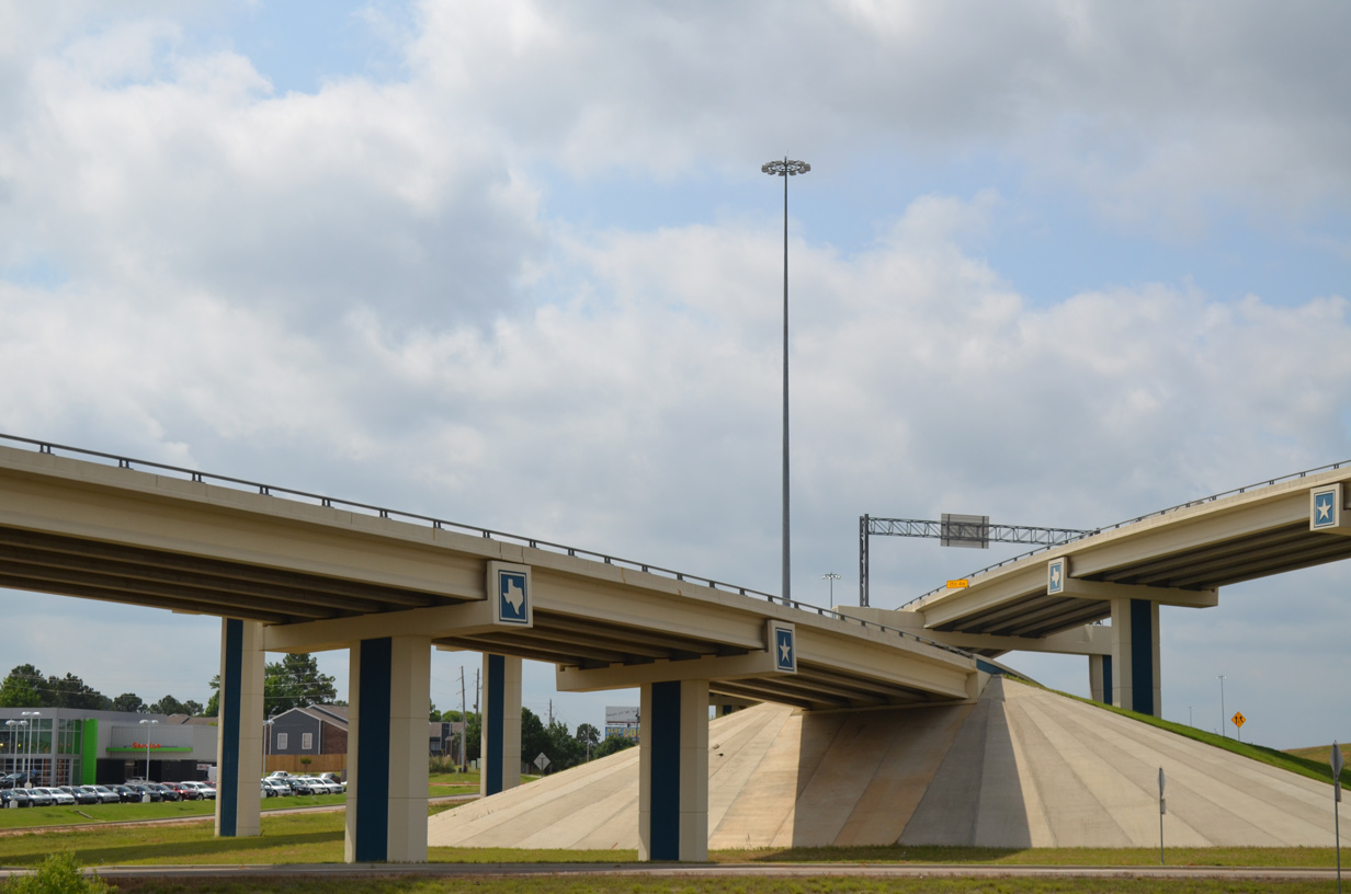
| IH 30 eastbound at SH 8 in New Boston. SH 8 measures 44.21 miles from Arkansas Highway 41 at the Red River south to Maud, Douglasville and SH 155 in Linden. It follows much the same route as it did in 1917 at commissioning. 04/25/08 |
|
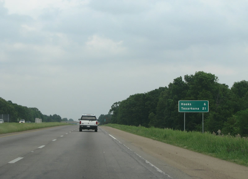
| Advancing east from New Boston, IH 30 continues six miles to the small city of Hooks and the regional center of Texarkana. 04/25/08 |
|
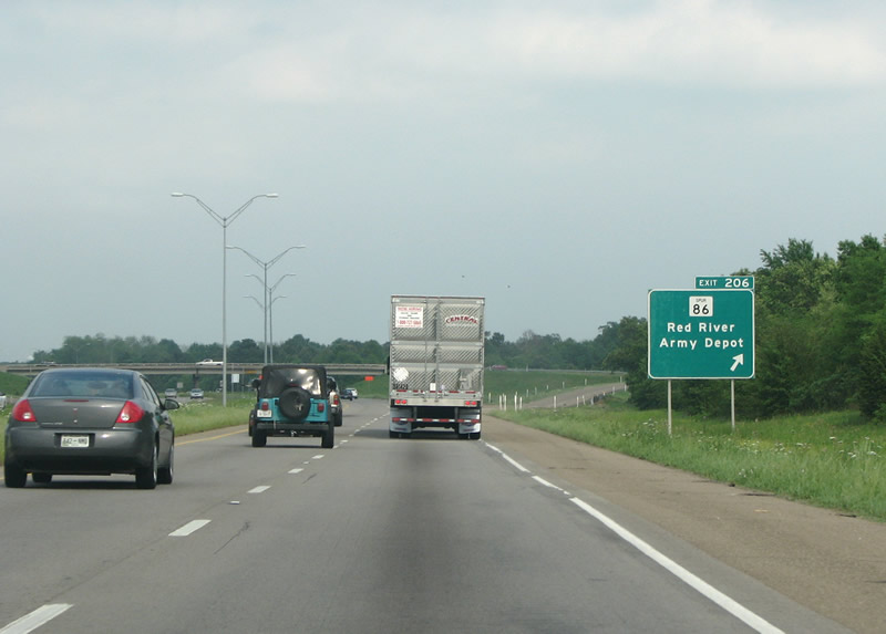
| Spur 86 is the next exit along IH 30. Spur 86 was commissioned in 1963 to connect the Red River Arsenal with the newly built interstate. 04/25/08 |
|
| The Red River Army Depot was at one time a 50 square mile US army facility used to store ordinance and explosives. It dated from August 1941. The munitions mission at Red River Army Depot was realigned in 2005, leaving a surplus of land for redevelopment as the TexAmericas Center.1 04/25/08 |
|
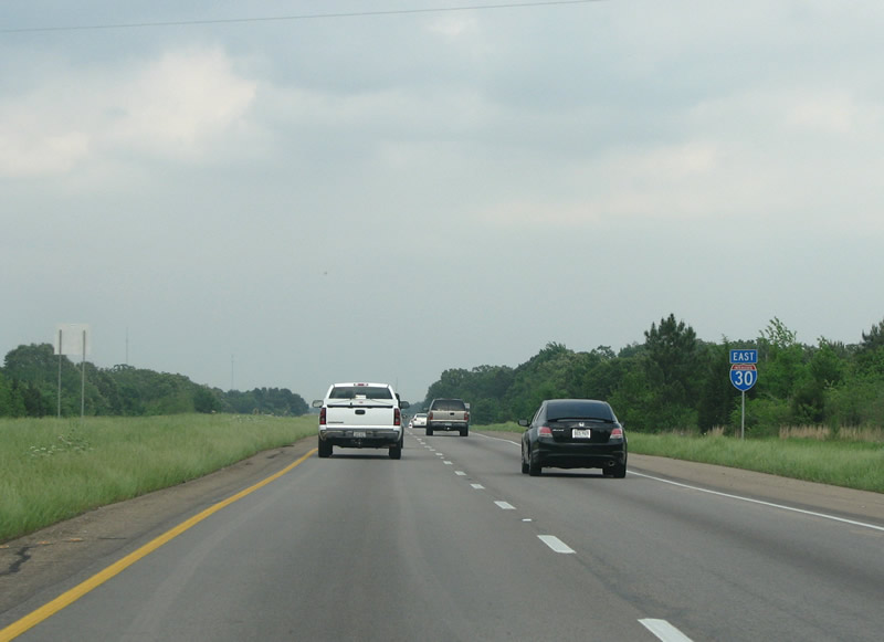
| An IH 30 eastbound reassurance marker east of Spur 86. 04/25/08 |
|
| Located 18 miles west of Texarkana, a diamond interchange (Exit 207) with SS 594 south to U.S. 82 and Red River Army Depot was constructed along IH 30 in 2012-13. 04/25/08 |
|
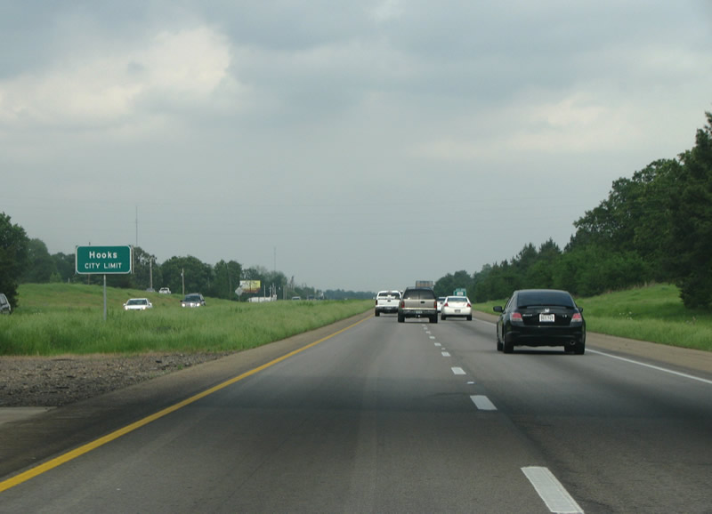
| Hooks, named after an early plantation - was founded in 1876 when the rail came through. Today it is virtually a suburb of Texarkana. 04/25/08 |
|
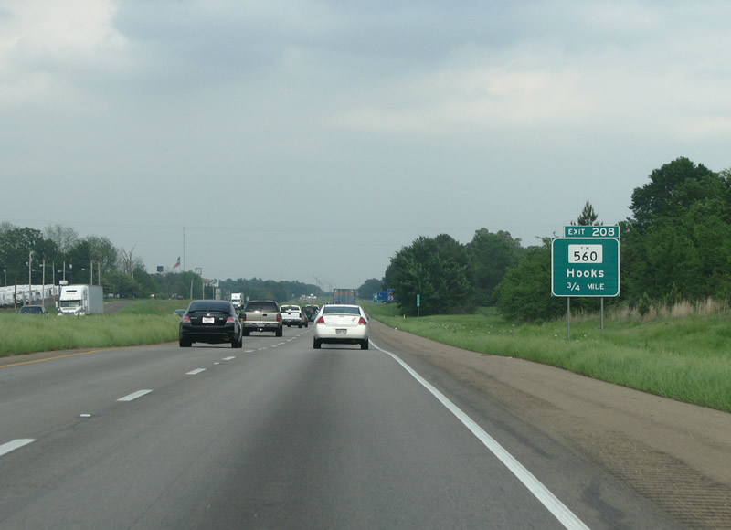
| FM 560, a 4.92 mile long spur north from U.S. 82 in Hooks, meets IH 30 at the succeeding exit. 04/25/08 |
|
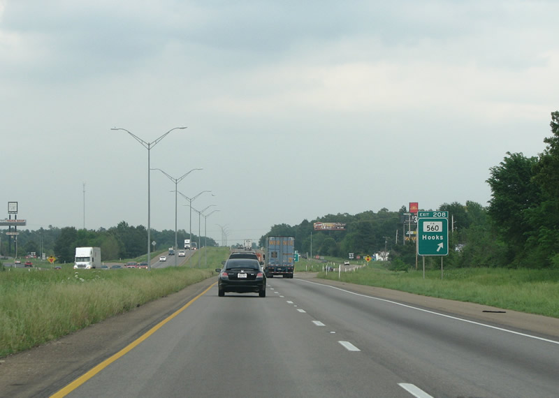
| FM 560 (Main Street) is the main drag through Hooks, and Exit 208 has almost all of the town's retail and commercial establishments. 04/25/08 |
|
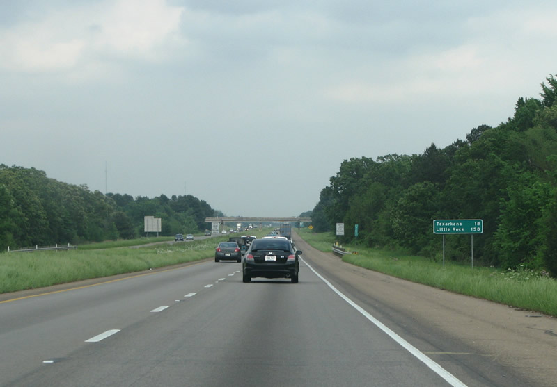
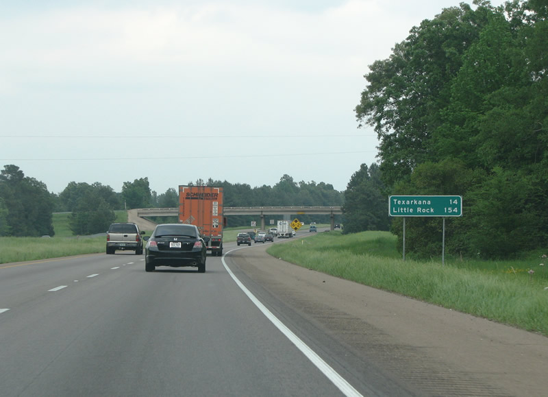
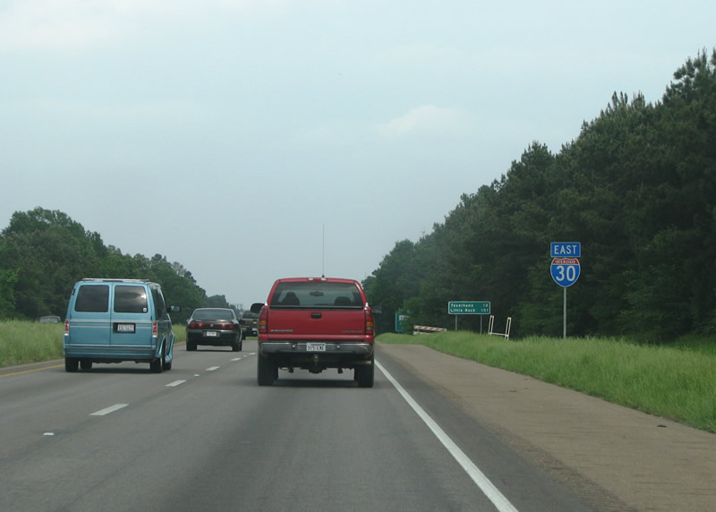
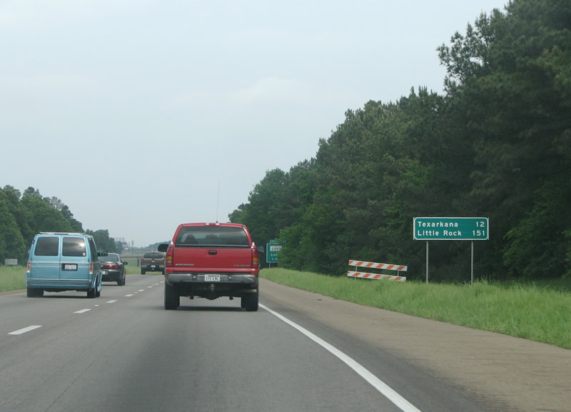
| Texarkana is just 14 miles distant, as is Arkansas. Little Rock lies 140 miles further northeast. 04/25/08 |
|
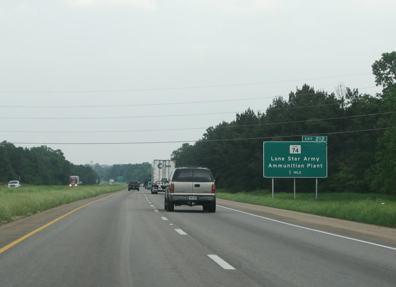
| Spur 74 runs 0.447 miles south from upcoming Exit 212 to US 82 and Victory City. Victory City was built in the 1940s to serve the nearby Lone Star Ammo plant, and was named to reflect the patriotic sentiment of the times. 04/25/08 |
|
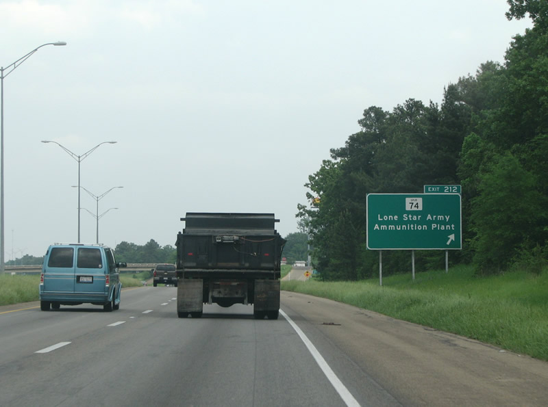
| Exit 212 connects IH 30 with TexAmericas Center - East, which was established in 2005 at the site of the shuttered Lone Star Army Ammunition Plant.1 Built during WW2 to house army ordinance and explosives, the plant spread across 24,300 acres. Prior to closing, the base housed a small number of military personnel and thousands of civilian employees. 04/25/08 |
|
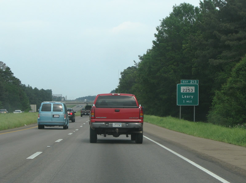
| IH 30 continues east through the rural city of Leary from SS 74 to FM 2253. 04/25/08 |
|
| FM 2253 runs south from Exit 213 to US 82 and north almost to the Red River. 04/25/08 |
|
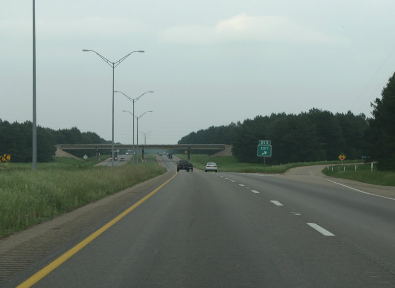
| Entering the diamond interchange (Exit 214) with FM 2253 (Leary Road) on IH 30 east. Leary was almost a ghost town until 1945 when the adjacent military installations were built. 04/25/08 |
|
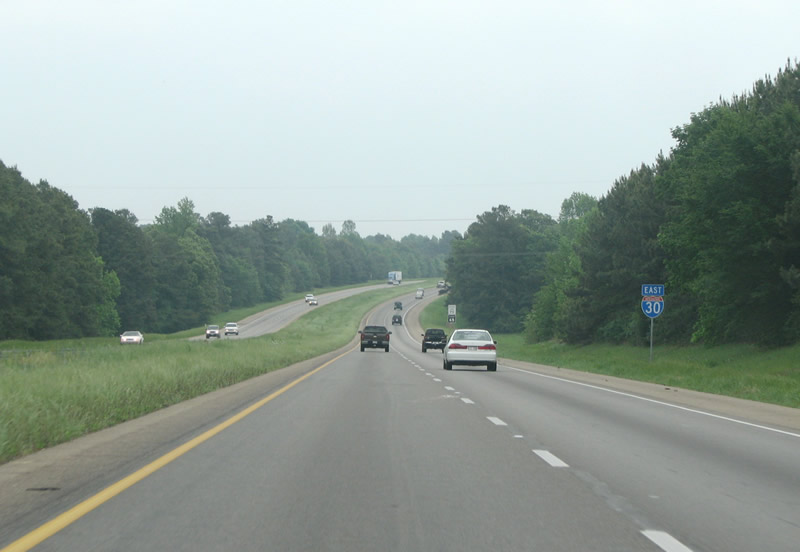
| IH 30 shifts slightly southward along the Red Lick city line along the ensuing stretch. 04/25/08 |
|
| FM 989 is the next exit eastbound. Also known as Kings Highway, FM 989 forms an important arterial route on the west side of Texarkana. 05/20/14 |
|
| Nash is Texarkana's largest suburb, and it houses some of the nicer homes in the area. The town started out as a railroad stop before transforming into a suburban area in the 70s and 80s. 05/20/14 |
|
| Exit 218 departs IH 30 east for FM 989 two miles ahead of IH 369/U.S. 59 south. Construction underway in 2008 expanded IH 30 at Exit 218 with extra collector lanes and one way multilane frontage roads. 05/20/14 |
|
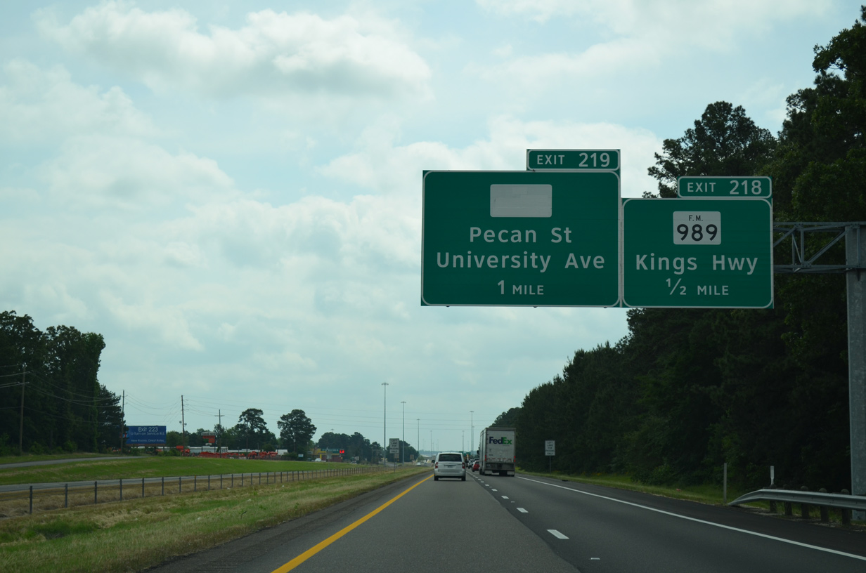
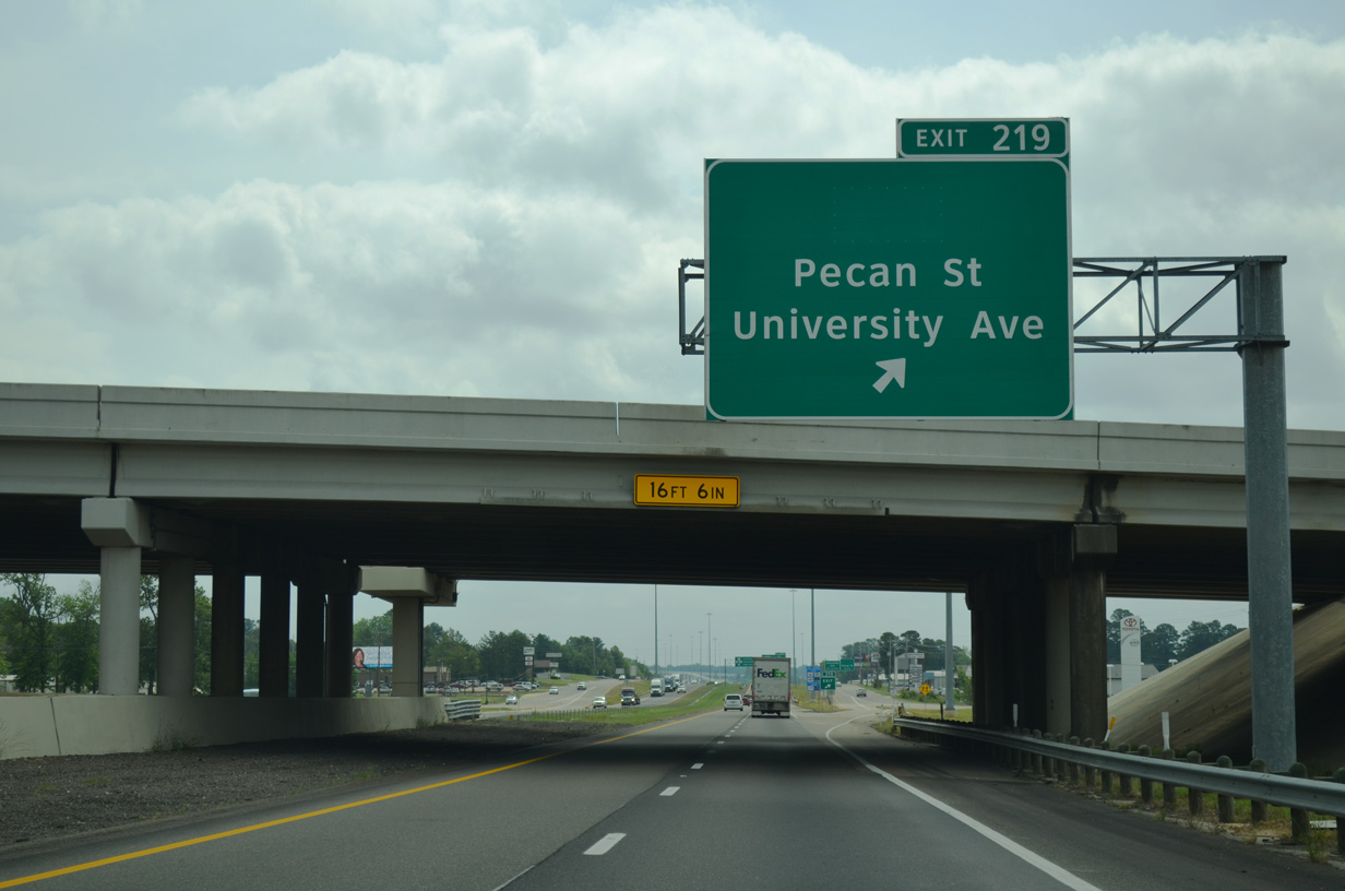
| Exit 219 follows the FM 989 (Kings Highway) overpass for the IH 30 frontage road ahead of Pecan Street south and University Avenue. 05/20/14 |
|
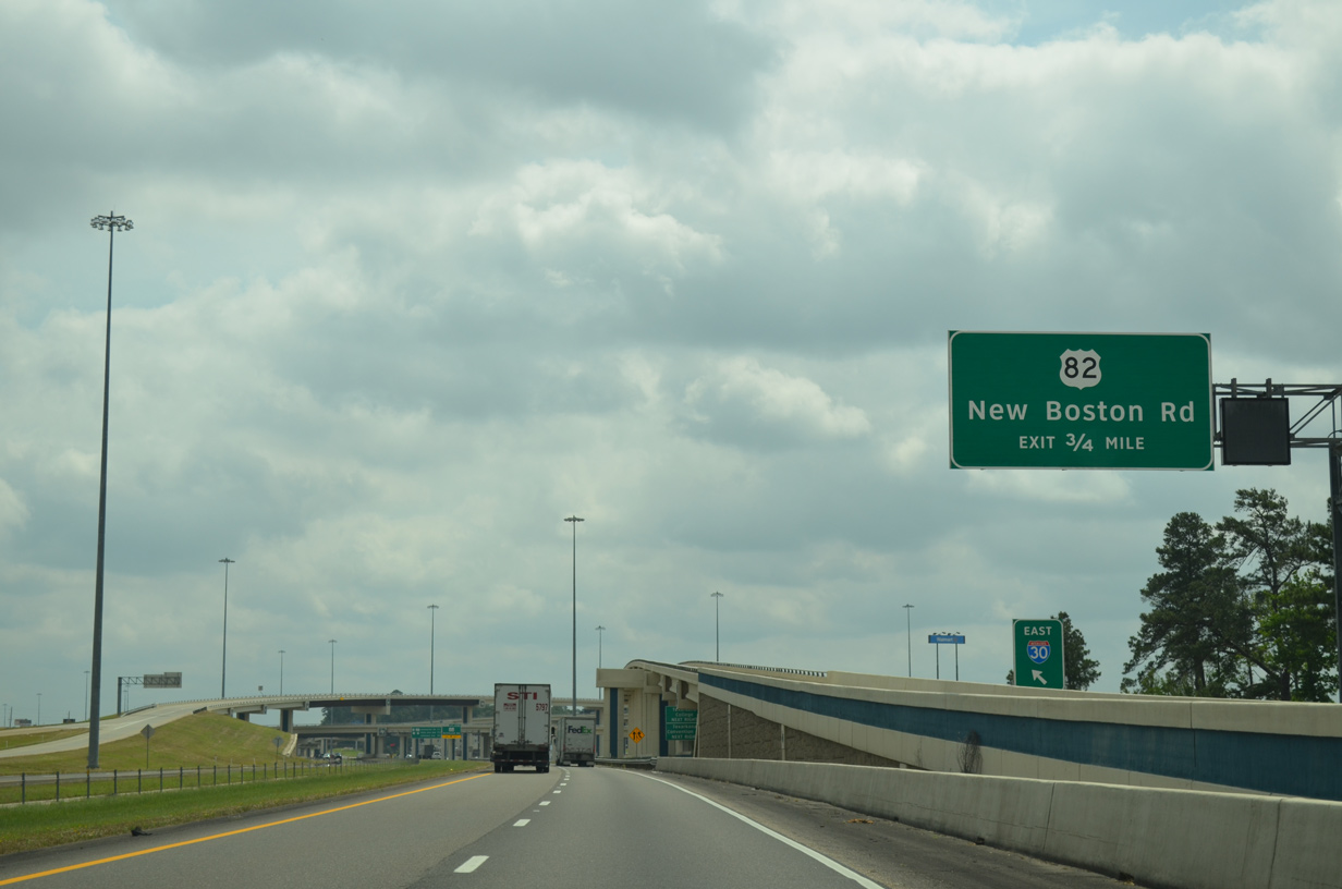
| Pecan Street stems south to U.S. 82 (New Boston Road) in Nash. University Avenue winds north from Walton Drive and IH 30 to FM 2878 (Pleasant Grove Road) and FM 1297 (McKnight Road) in northwest Texarkana. 05/20/14 |
|
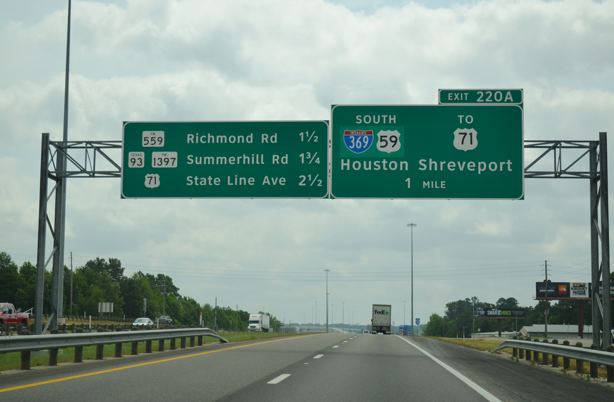
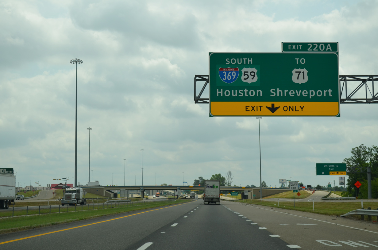
| A directional T interchange joins IH 30 with IH 369/U.S. 59 south at Exit 220A. IH 369 overlaps with U.S. 59 south 4.21 miles to SH 93. U.S. 59 extends south from there to Atlanta and Marion. 05/20/14 |
|
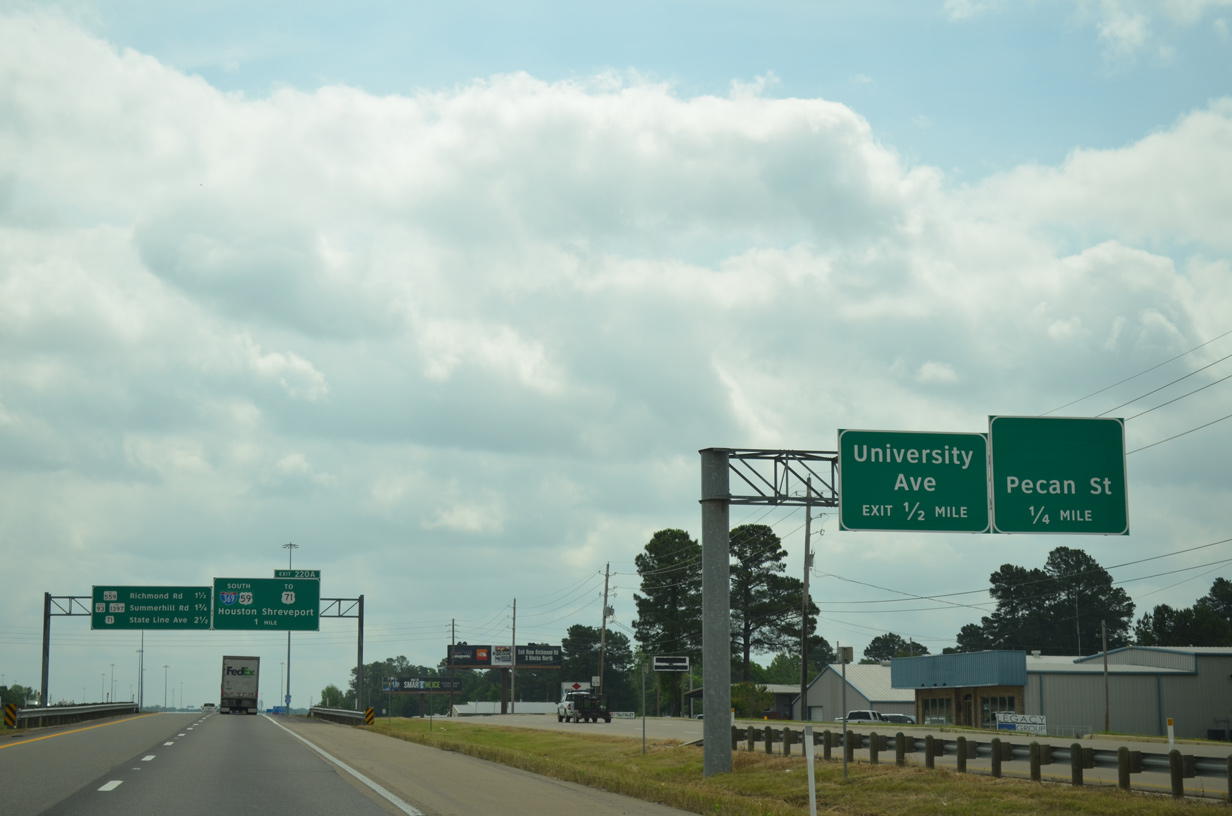
| Confirming marker posted ahead of the diamond interchange joining the adjacent frontage roads with University Avenue. 05/20/14 |
|
| U.S. 59 runs south from Texarkana to Houston and the Rio Grande Valley. U.S 59 also forms most of the future IH 69 corridor in the state. Through Houston, which is already part of IH 69, U.S. 59 is one of the busiest freeways in Texas. 05/20/14 |
|
| Interstate 369 forms part of a freeway loop encircling Texarkana to the south. Loop 151 and Arkansas Highway 151 continue the bypass east to Interstate 49 and U.S. 71. I-49 was completed south to Shreveport, Louisiana in November 2014. 05/20/14 |
|
| Interstate 369 was established along the U.S. 59 freeway through Texarkana in September 2013. The freeway is ultimately planned to run 118 miles south to IH 69 near Tennaha. 05/20/14 |
|
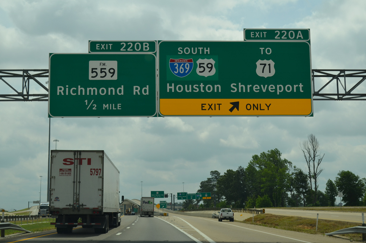
| IH 369 and U.S. 59 connect with U.S. 82 (New Boston Road) to the immediate south of IH 30. 05/20/14 |
|
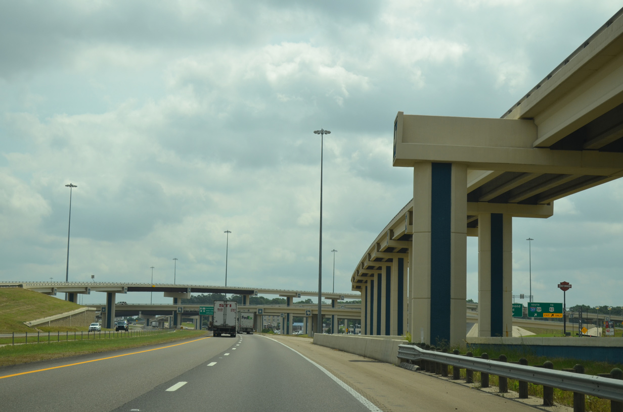
| The trumpet interchange joining IH 30 with U.S. 59 south was replaced with a three-level systems interchange with connections to new frontage roads 05/20/14 |
|
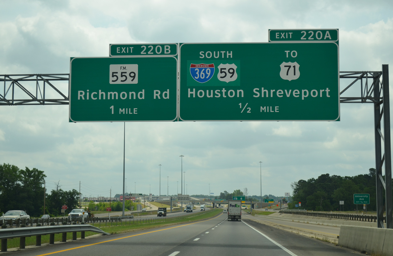
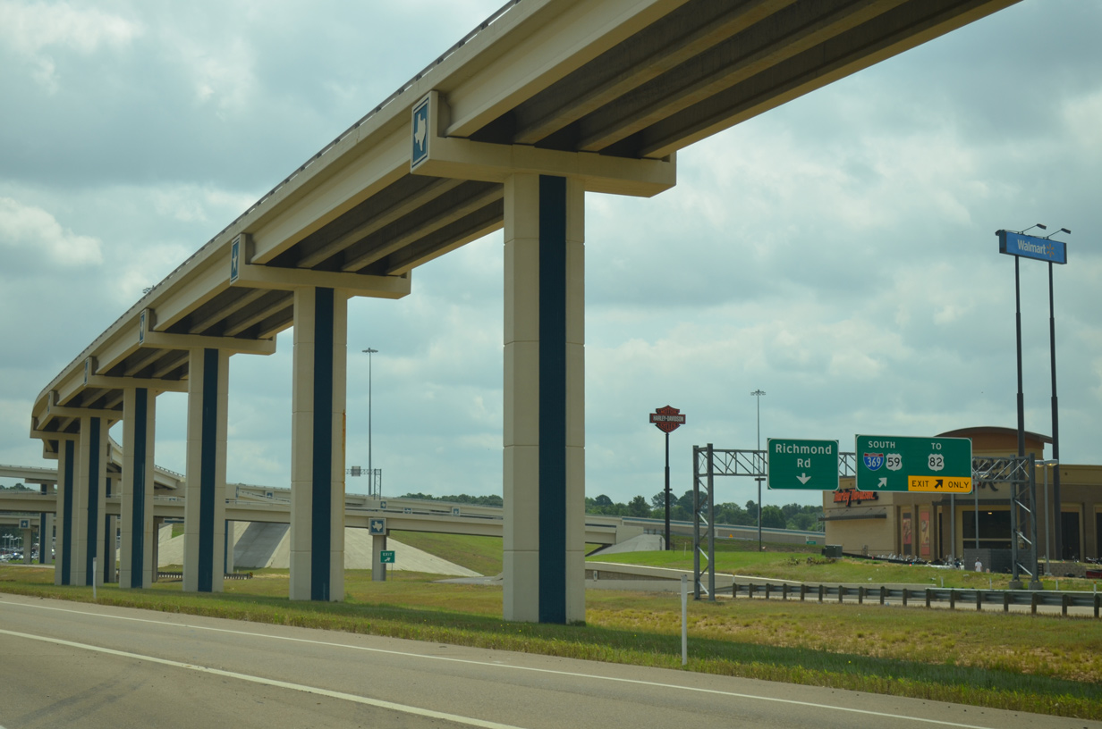
| A slip ramp (Exit 220B) leaves IH 30 east within the exchange at IH 369 for FM 559 (Richmond Road). Richmond Road is one of the most important arterial roads in the area, and along it sit the city's colleges and its regional mall. 05/20/14 |
|
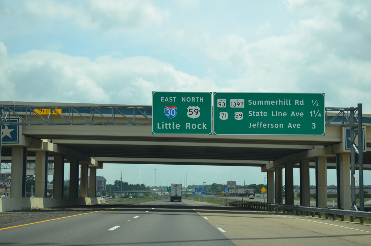
| U.S. 59 north combines with IH 30 east 1.25 miles from the Richmond Road overpass to State Line Avenue (U.S. 71). 05/20/14 |
|
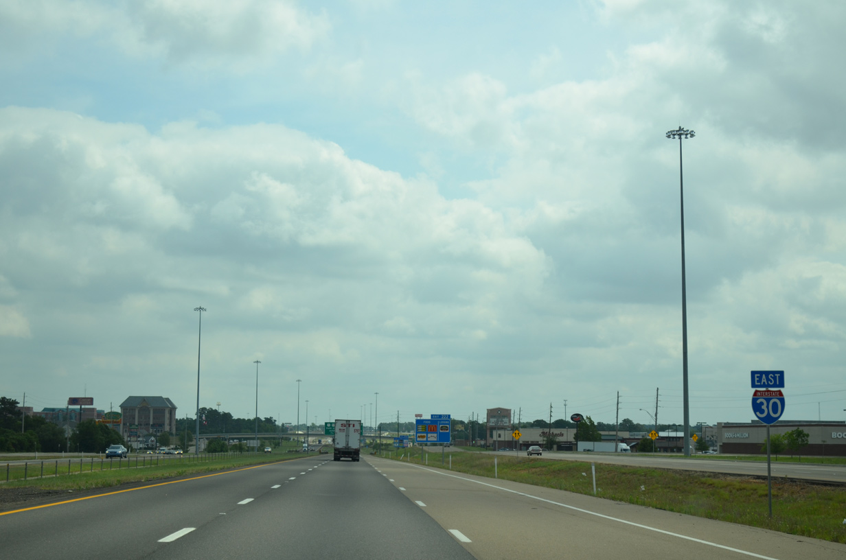
| Through Texarkana, IH 30 is well traveled and lined with various commercial operations on each side of the road. 05/20/14 |
|
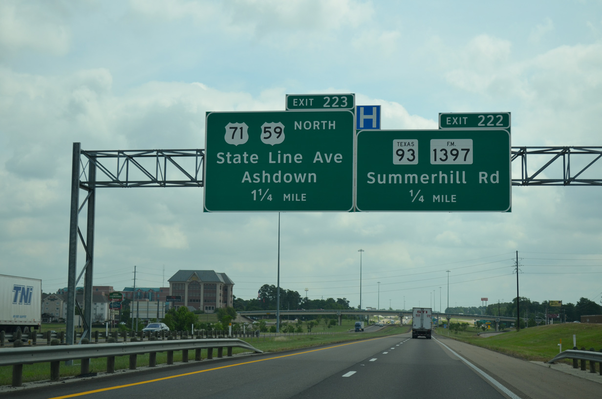
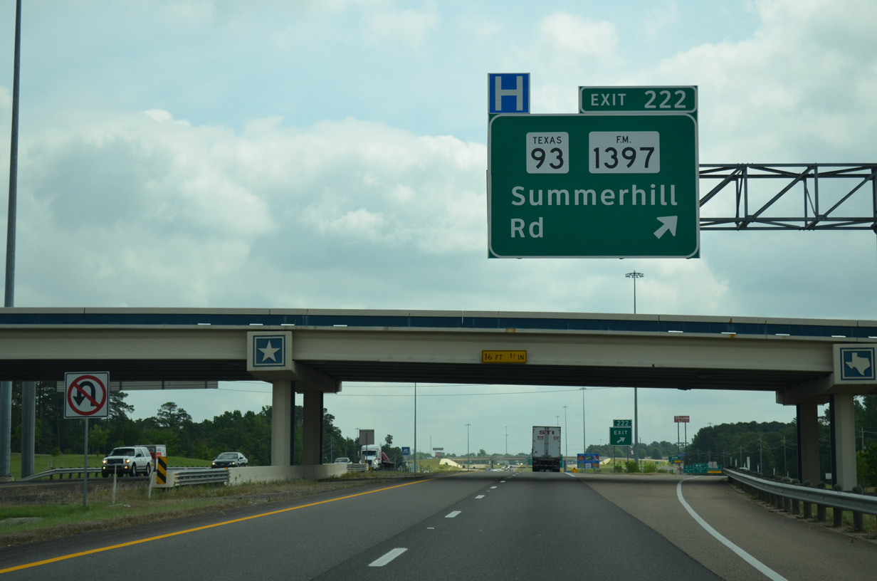
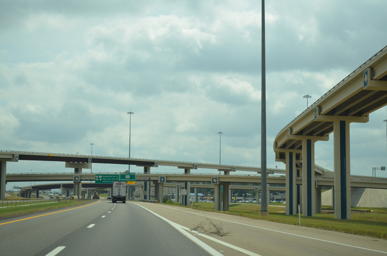
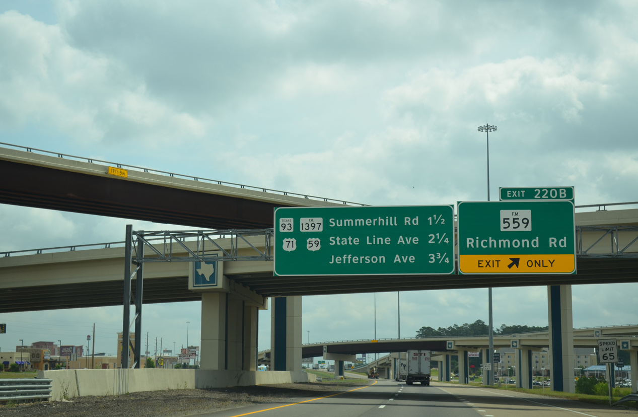
| The next Texarkana exit is for Summerhill Road (FM 1397 north / SH 93 south). SH 93 is a 6.50 mile long route that runs south through Texarkana to the IH 369, U.S. 59, SL 151 bypass freeway. 05/20/14 |
|
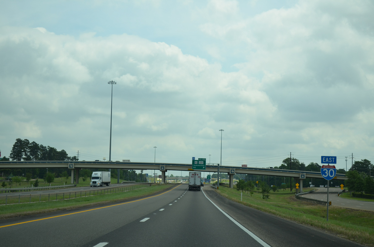
| Cownhorn Creek Road passes over IH 30 north from Central Mall. 05/20/14 |
|
| Exit 222 parts ways with IH 30/U.S. 59 for SH 93 (Summerhill Road) south and FM 1397 north. FM 1397 forms a hook-shaped route 11.43 miles north to Summer Hill Lake and southwest to FM 559 near Bringle Lake. 05/20/14 |
|
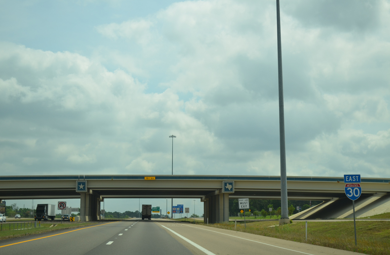
| State Line Avenue, Texarkana's most famous street and the last exit in Texas, follows 1.4 miles east of the Summerhill Road overpass on IH 30. 05/20/14 |
|
| Reassurance marker posted beyond the eastbound entrance ramp from Cowhorn Creek Road. 05/20/14 |
|
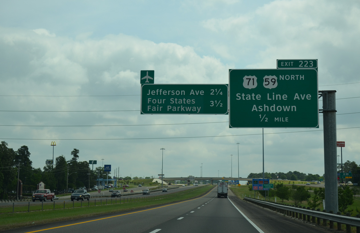
| IH 30 eastbound at State Line Avenue, which carries US 71 south into Downtown Texarkana. The boulevard follows the state border nine miles north from Broad Street to the Red River. The dry Texas side is lined with hotels and motels, while the wet Arkansas side is lined with liquor stores. 05/20/14 |
|
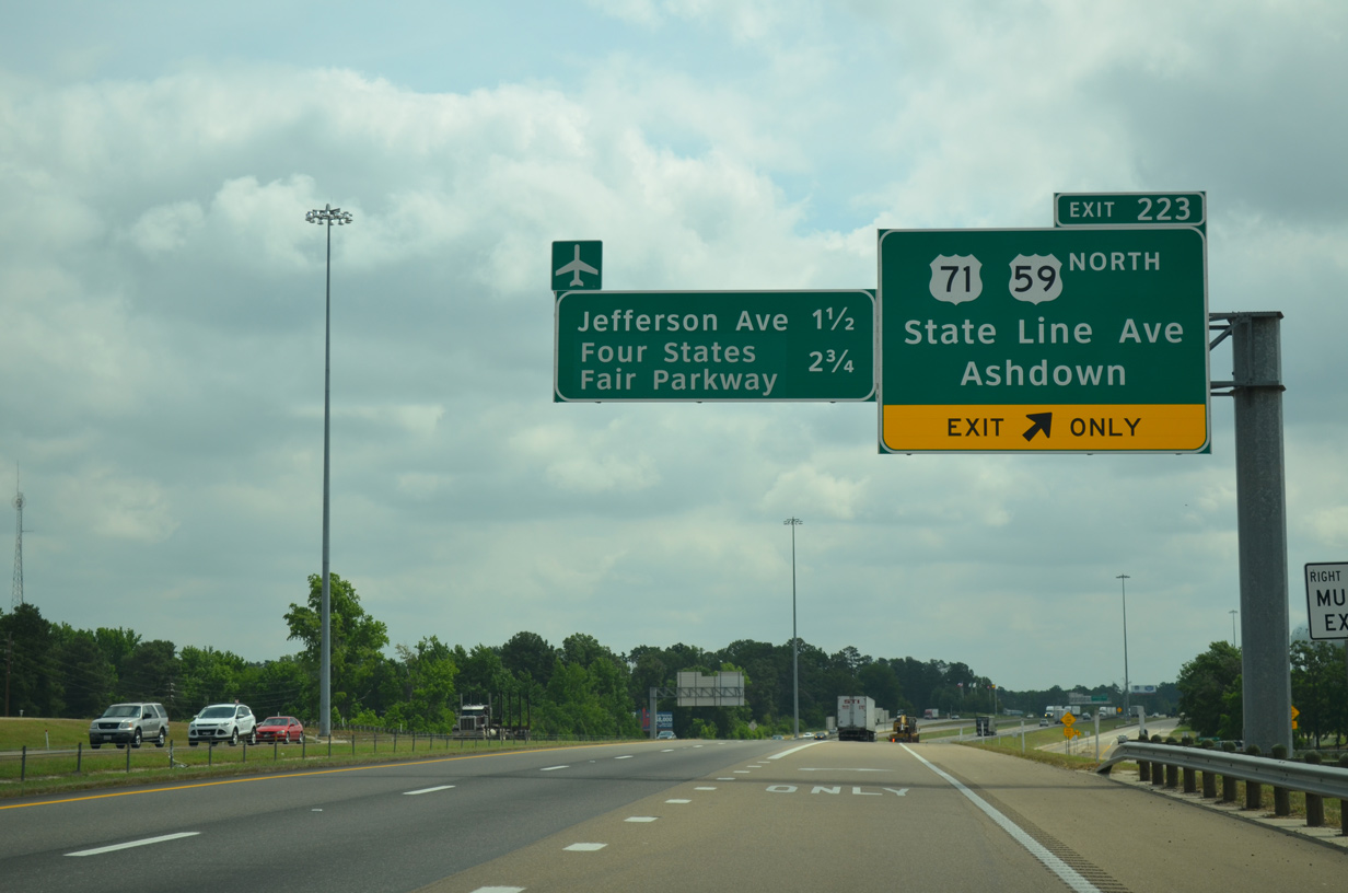
| Exit 223 for State Line Avenue departs well ahead of U.S. 71. The cloverleaf formerly joining IH 30/U.S. 59 with U.S. 71 was rebuilt into overlapping split diamond interchanges for both State Line Avenue and parallel Jefferson Avenue (Exit 1). 05/20/14 |
|
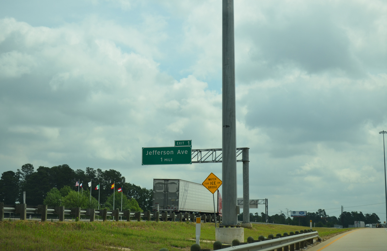
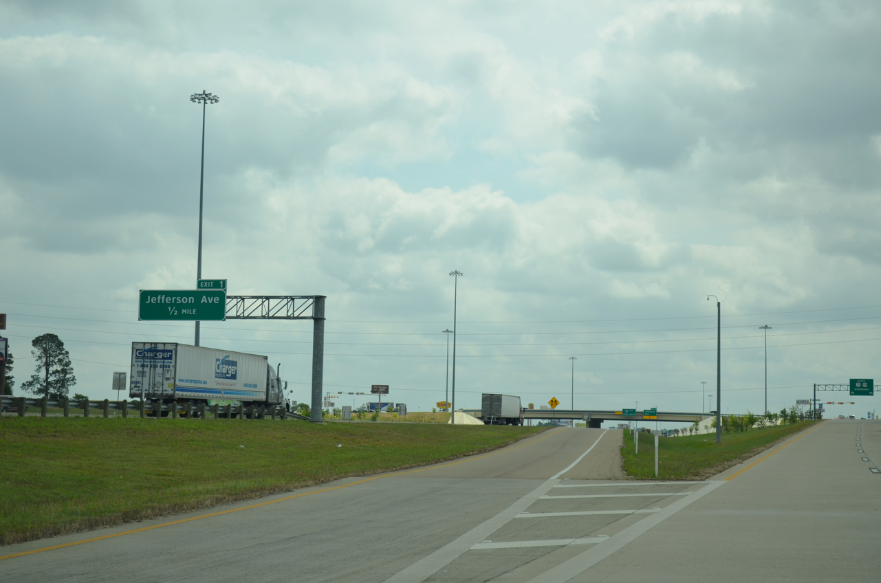
| Exit 1 departs just beyond the State Line Avenue overpass for Jefferson Avenue in Texarkana, Arkansas. 05/20/14 |
|
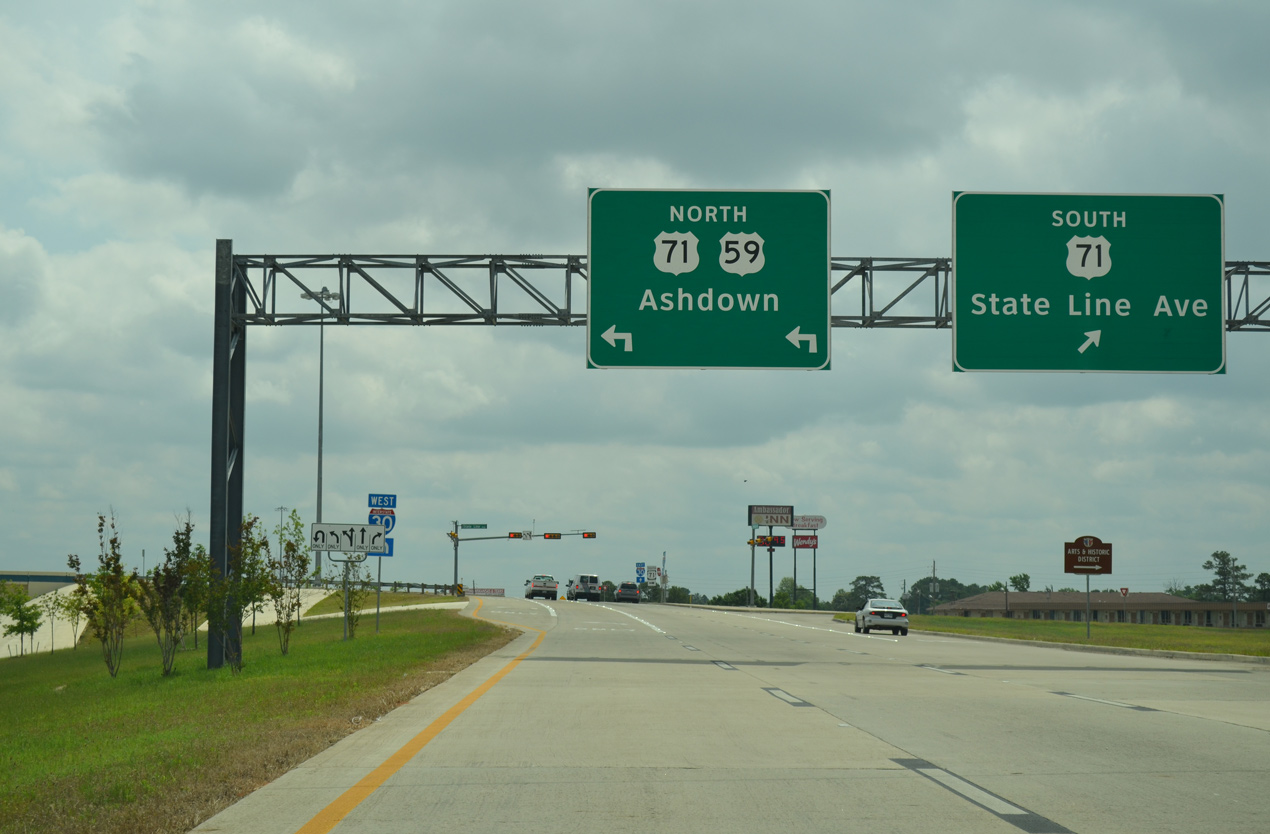
| U.S. 59 combines with U.S. 71 (State Line Avenue) 102 miles north from Interstate 30 to Ashdown, DeQueen, Mena and U.S. 270 at Acorn, Arkansas. U.S. 71 follows State Line Avenue south to U.S. 67 (7th Street) in Downtown Texarkana. 05/20/14 |
Page Updated 07-05-2019.


 East
East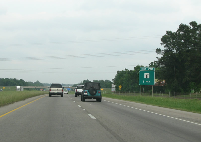


 North
North