|
| Confirming marker posted west of the exchange for Petrified Forest National Park (Exit 311). 11/12/06 |
|
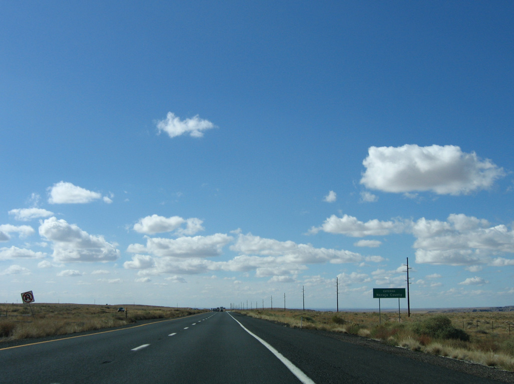
| Interstate 40 enters Navajo County just ahead of milepost 307. 11/12/06 |
|
| Encompassing the majority of the Navajo Indian Nation, Navajo County was created in 1895. 11/12/06 |
|
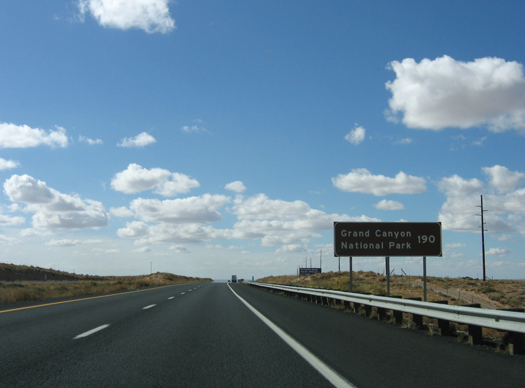
| Grand Canyon National Park is a primary destination point along Interstate 40, and is well signed throughout Arizona. 11/12/06 |
|
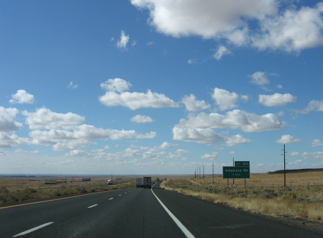
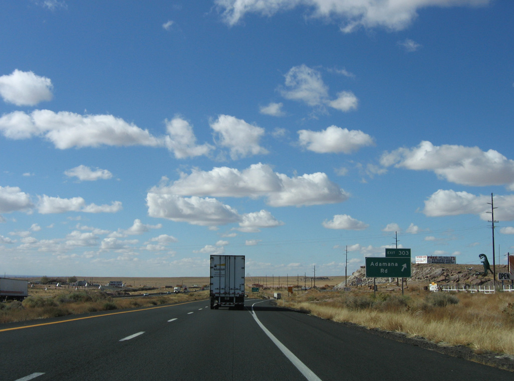
| Exit 303 connects with Adamana Road to adjacent Washboard Road and Historic U.S. 66 in one mile. 11/12/06 |
|
| Adamana Road serves the old railroad station of Adamana, created in 1890 to serve Petrified Forest National Monument, as well as Stewart's Petrified Wood, one of the many curio shops along old Route 66. 11/12/06 |
|
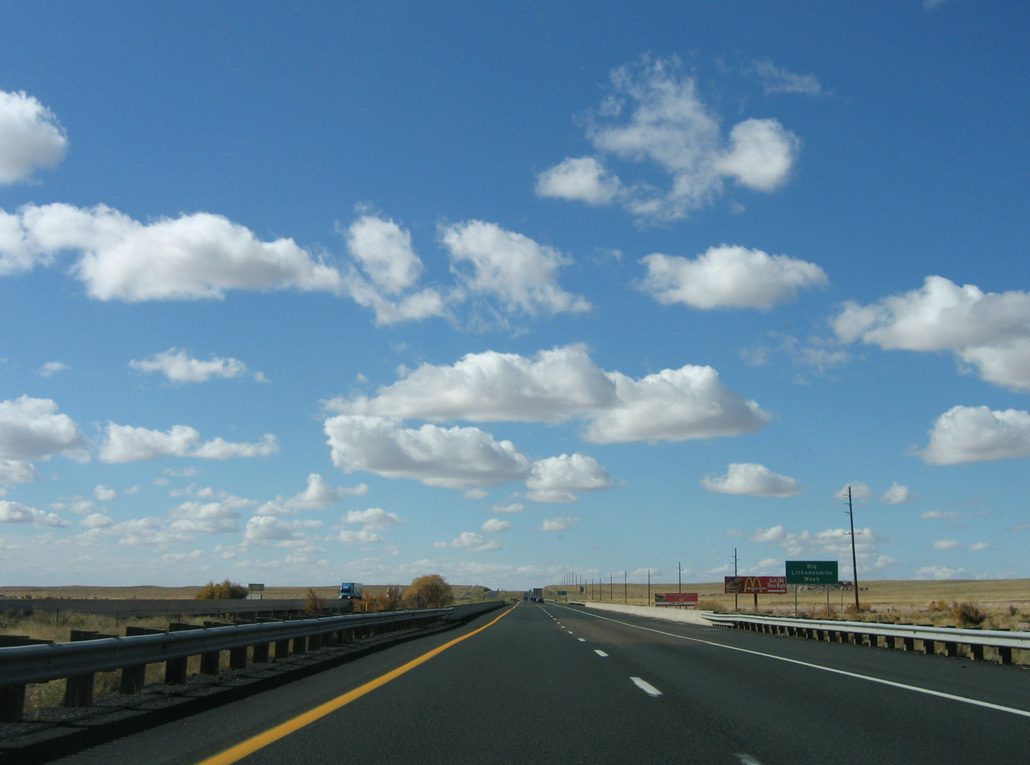
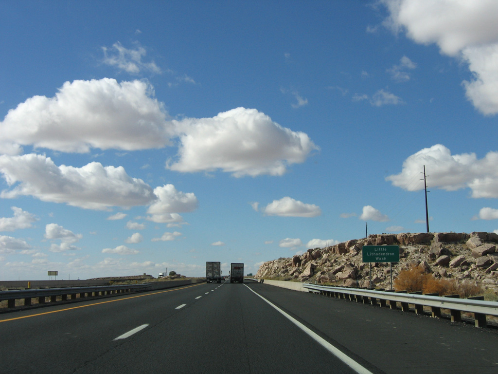
| Big Lithodendron Wash winds north from the Puerco River into Petrified Forest National Park. 11/12/06 |
|
| SR 77 converges with Interstate 40 nine miles to the west. Flagstaff is 99 miles further along the freeway. 11/12/06 |
|
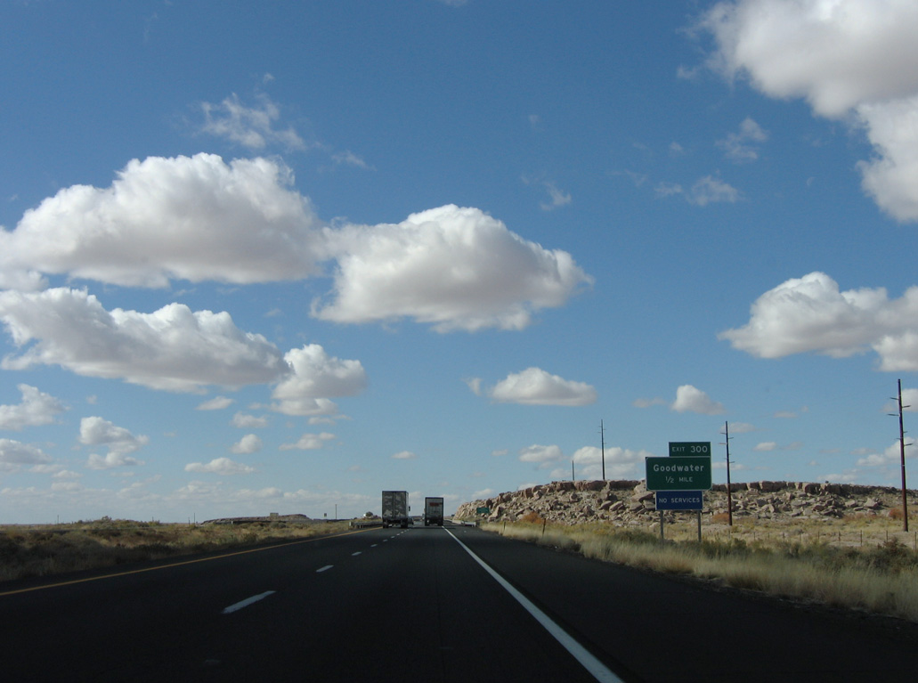
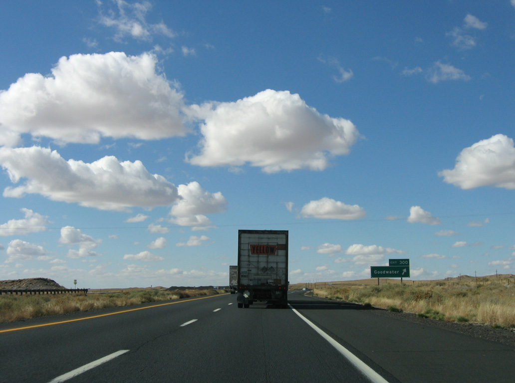
| Interstate 40 crosses Little Lithodendren Wash just ahead of the diamond interchange (Exit 300) for Goodwater. 11/12/06 |
|
| Exit 300 departs for Goodwater. The former trading post here closed in 2000, leaving the exit with no services. 11/12/06 |
|
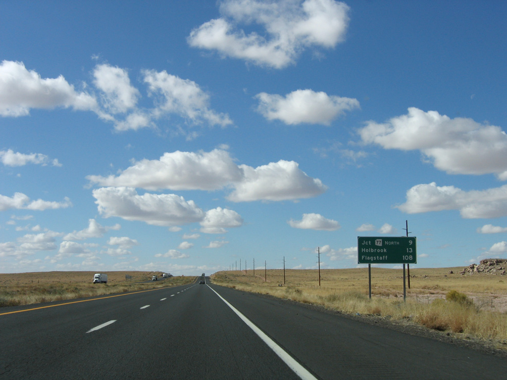
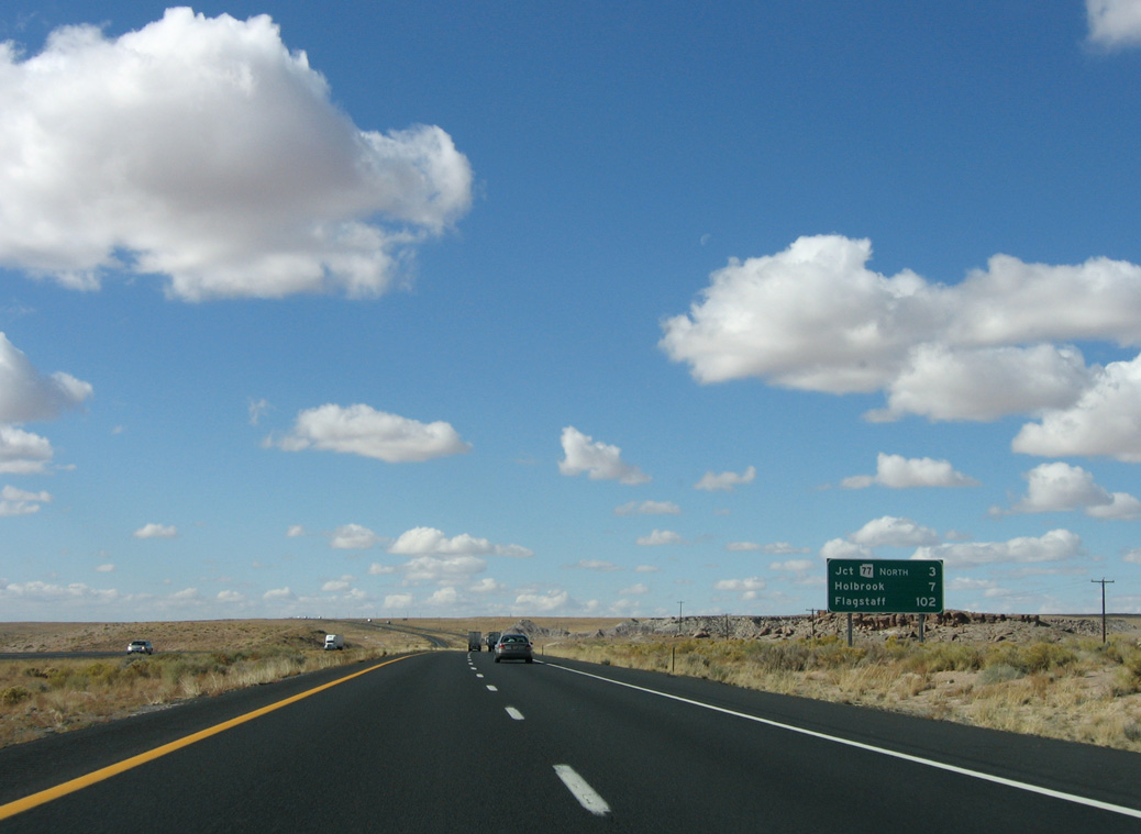
| Distance sign to SR 77 North (3 miles), Holbrook (7 miles) and Flagstaff (102 miles). 11/12/06 |
|
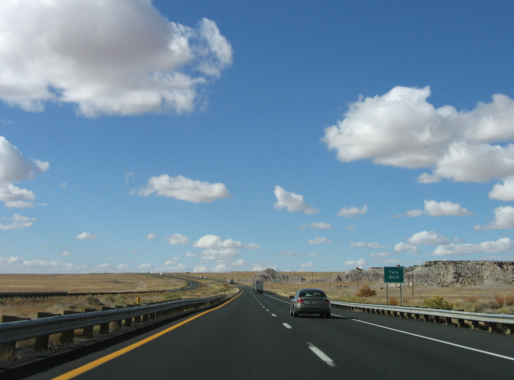
| Interstate 40 crosses Twin Wash just beyond milepost 299. ADOT posts names of washes and bridge crossings as highway reference points. 11/12/06 |
|
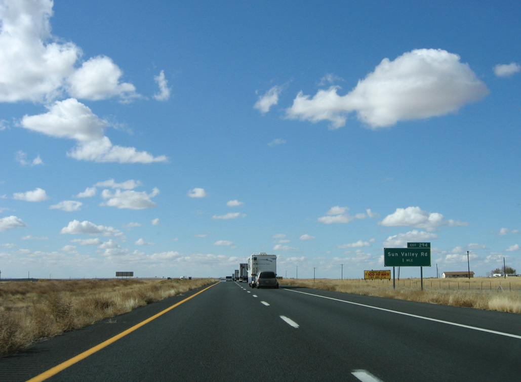
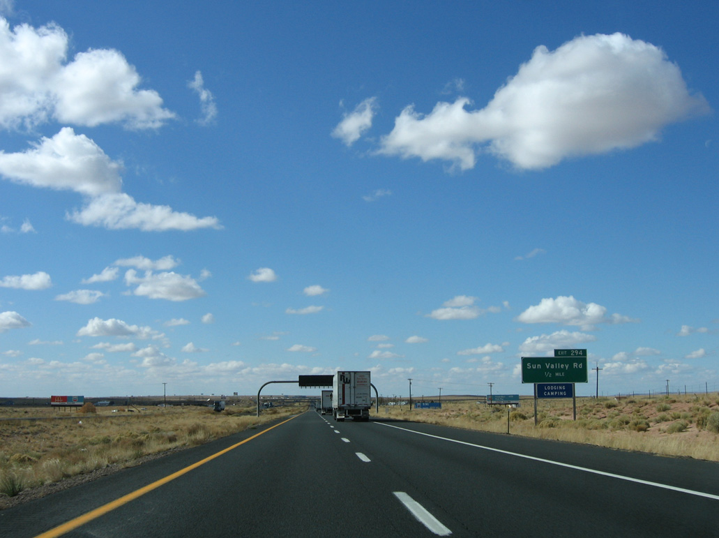
| One mile from the diamond interchange (Exit 294) with Sun Valley Road. 11/12/06 |
|
| Sun Valley Road serves the rural Sun Valley community and adjoining ranch land. 11/12/06 |
|
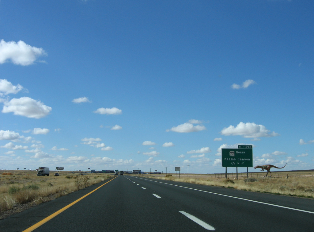
| SR 77 north to Keams Canyon meets I-40 west at the succeeding exit in 0.75 miles. 11/12/06 |
|
| SR 77 was extended north of Interstate 40 in 1963. The state route extends 13 miles to the Navajo Indian Nation, where it becomes Navajo Service Road 6. 11/12/06 |
|
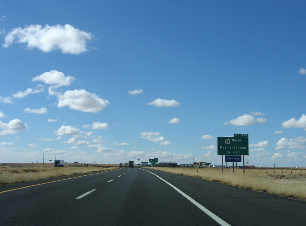
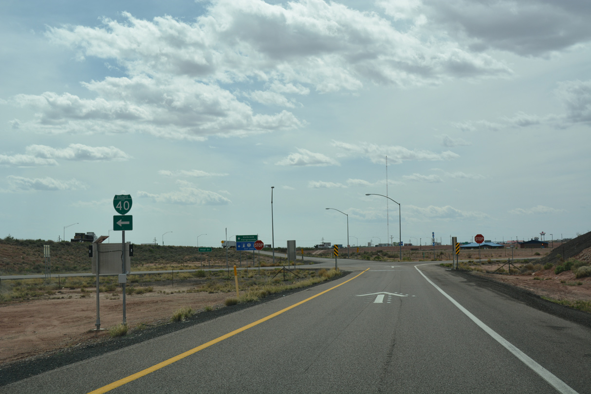
| Exit 292 leaves I-40 west for SR 77 north and Petrified Forest Drive south. Keams Canyon is named after Thomas Keam, who located a school there in 1872. 11/12/06 |
|
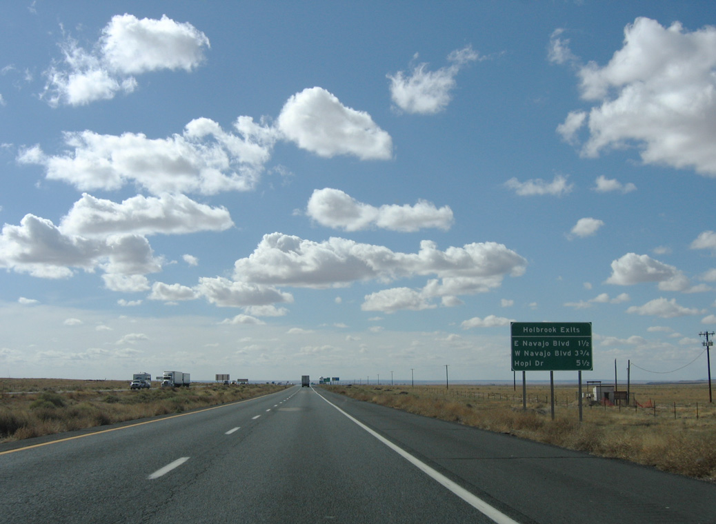
| Three exits join Interstate 40 westbound with the city of Holbrook. Holbrook was named after H.R. Holbrook, the first engineer on the Atlantic and Pacific Railroad. 11/12/06 |
|
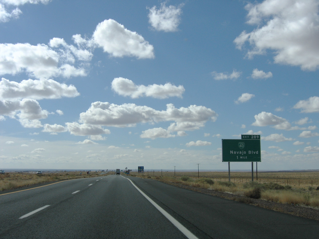
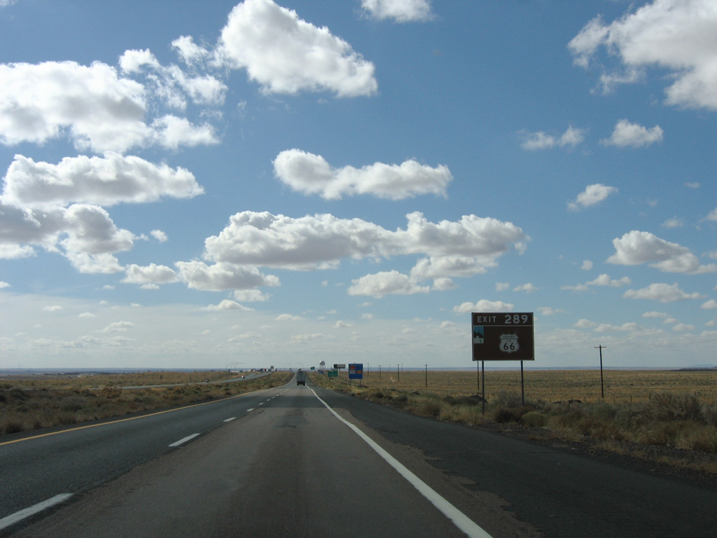
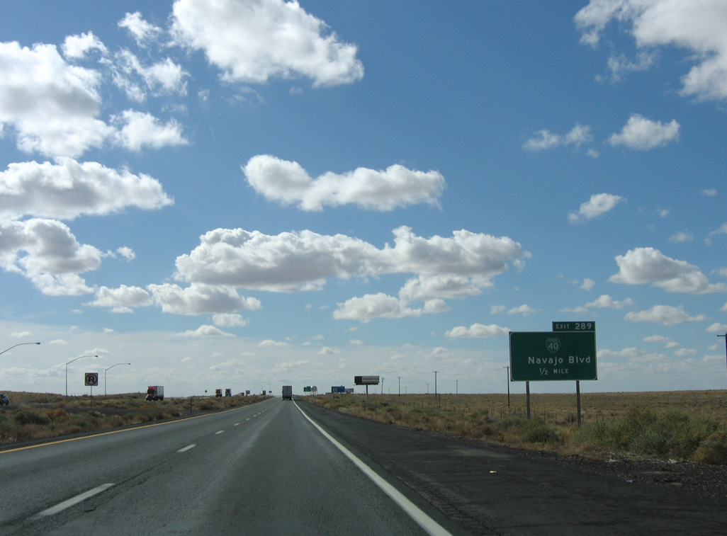
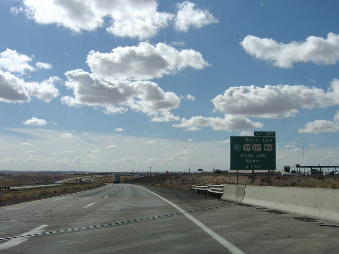
| Business Loop I-40 separates from I-40/SR 77 at forthcoming Exit 289 along Navajo Boulevard. 11/12/06 |
|
| Business Loop I-40 through Holbrook, like every Business Loop along Interstate 40 in the state, is former U.S. 66. 11/12/06 |
|
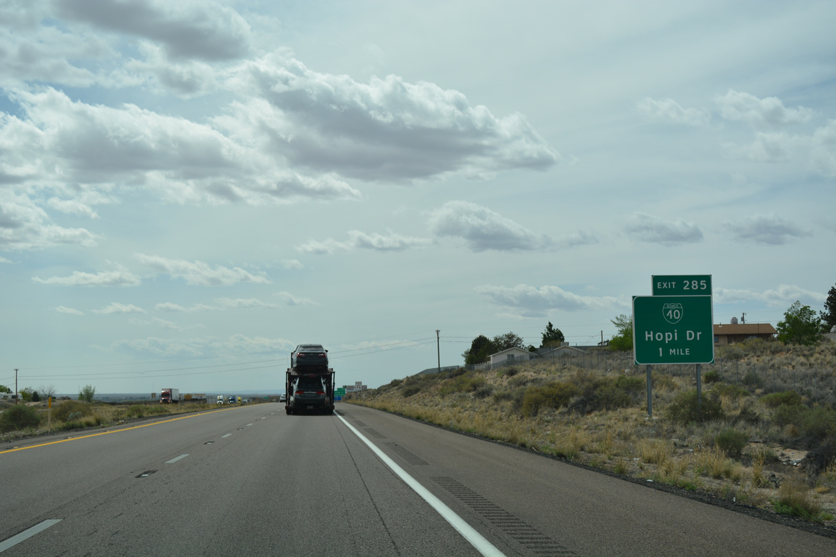
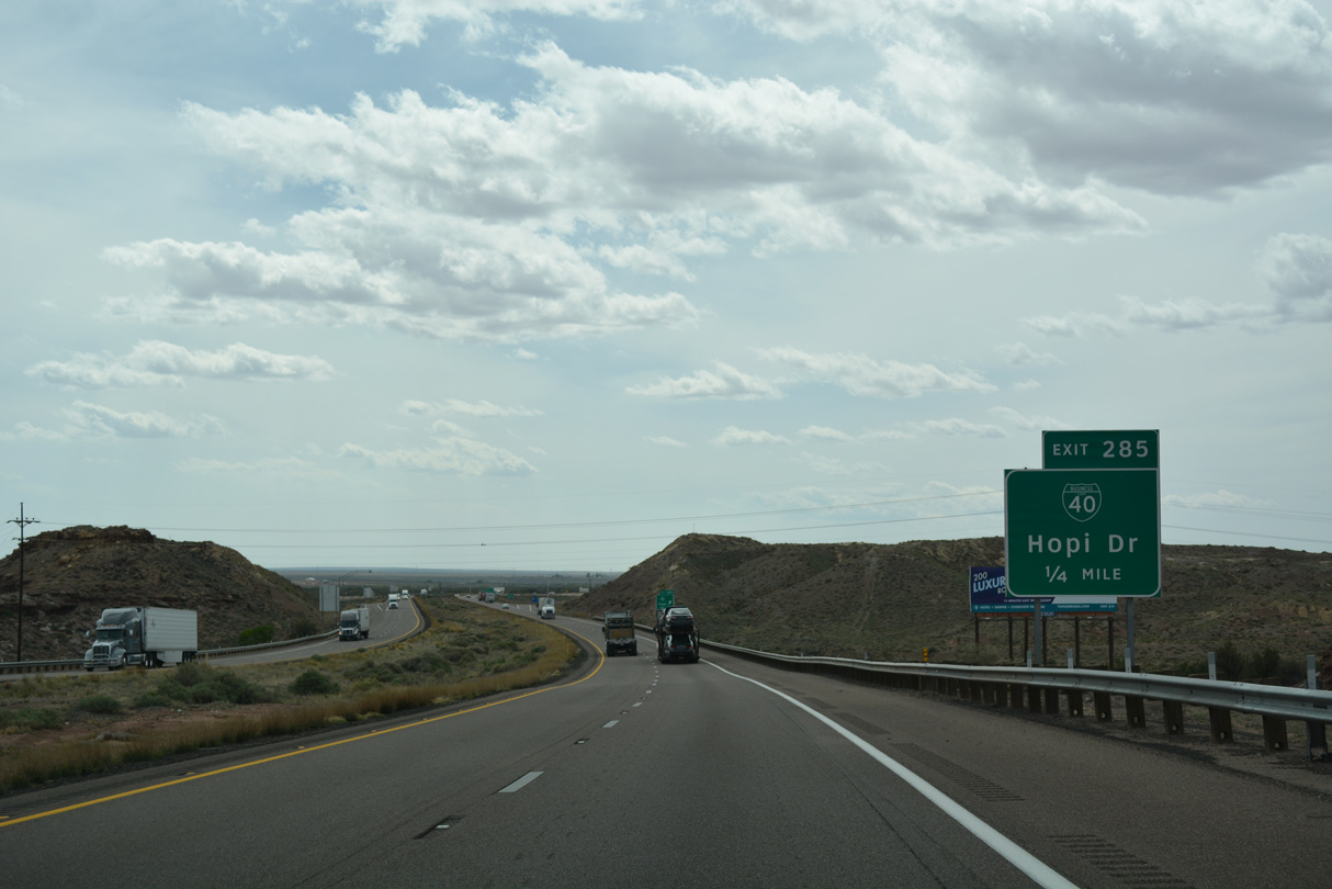
| The Holbrook business loop for Interstate 40 measures 5.09 miles from Exit 289 to Exit 285. 11/12/06 |
|
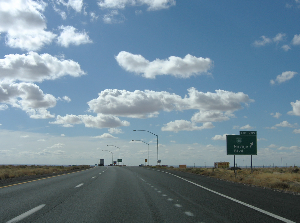
| Exit 289 departs I-40 west for Navajo Boulevard and Holbrook Municipal Airport (P14). Business Loop I-40 serves several chain motels and restaurants located at the east end of Holbrook. 11/12/06 |
|
| Spanning Navajo Boulevard, I-40/SR 77 advance two miles south to meet Business Loop I-40 again. The previous button copy sign erroneously referenced Exit 285 as 289. 11/12/06 |
|
| Hermosa Drive crosses over I-40/SR 77 ahead of this shield assembly. 04/27/17 |
|
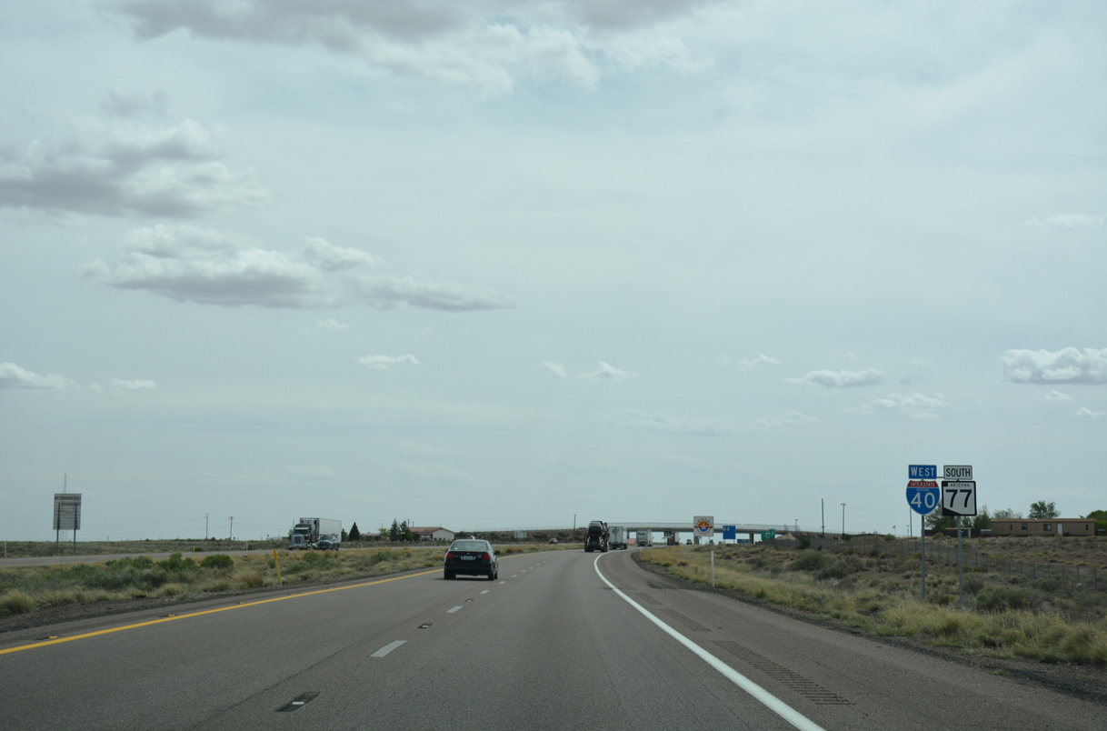
| SR 77 parts ways with I-40 west to accompany Business Loop I-40 (Navajo Boulevard) south to Downtown Holbrook. The state route overlaps with U.S. 180 across the Little Colorado River and splits with SR 377 in three miles. 04/27/17 |
|
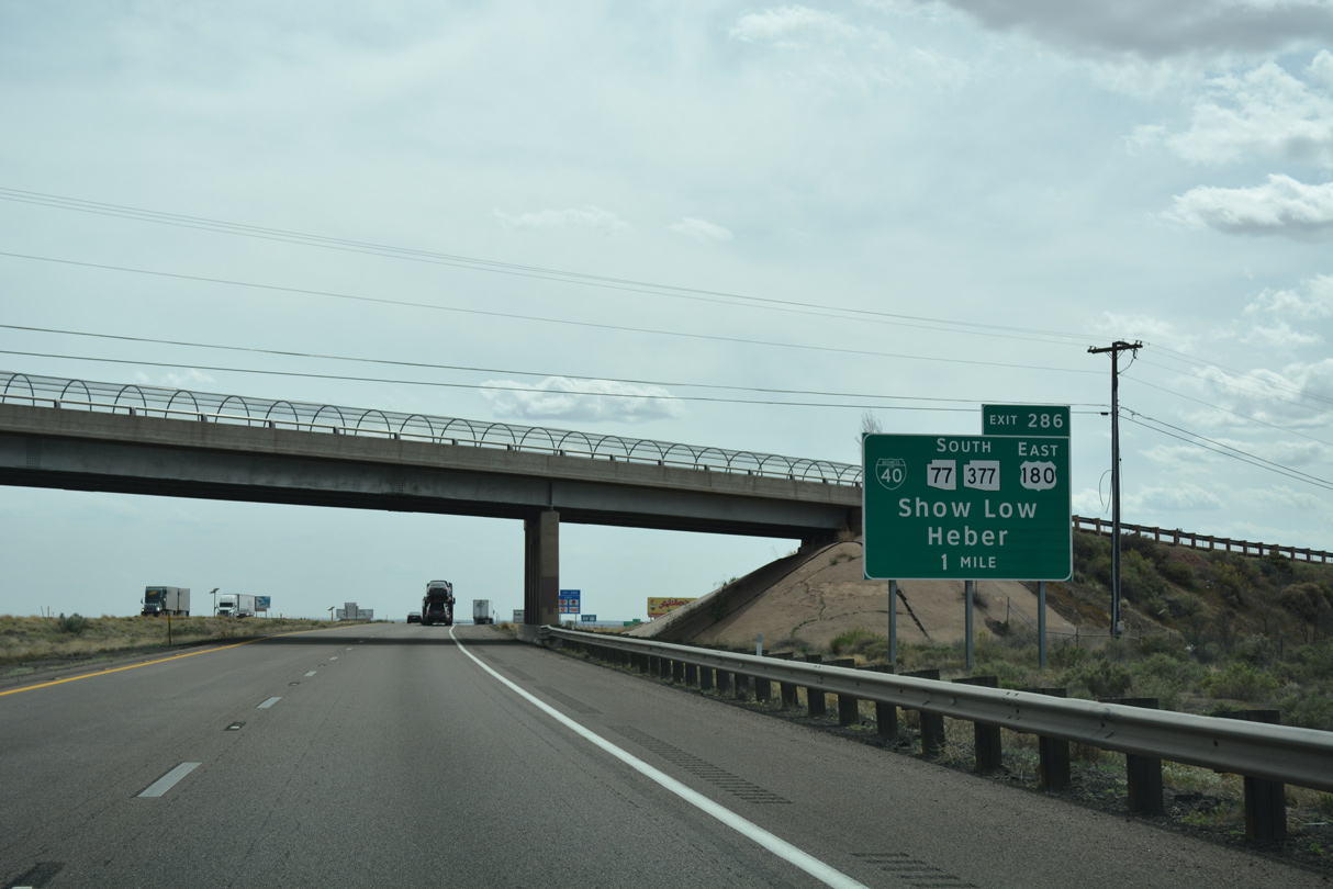
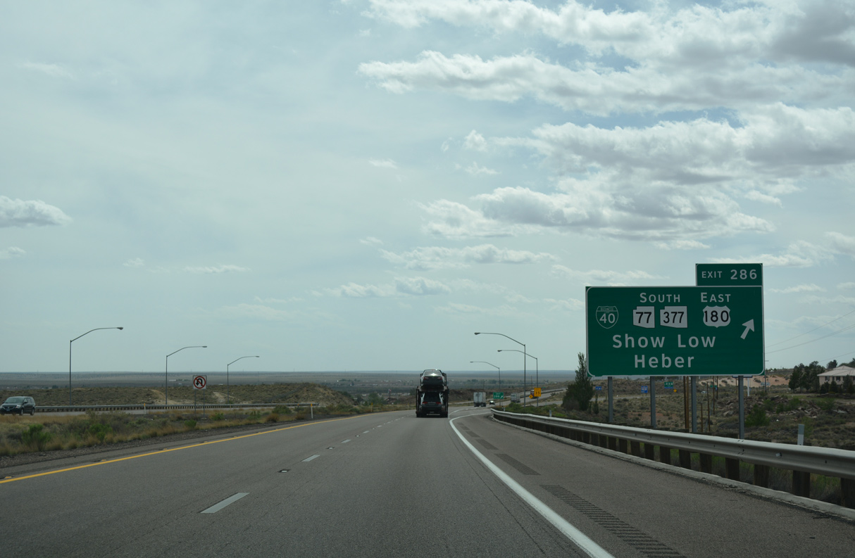
| SR 77 separates from I-40 west at a parclo interchange (Exit 286) with Navajo Boulevard. SR 77 travels south to U.S. 60 at Show Low. SR 377 angles southwest 32.97 miles to SR 277 near Heber-Overgaard. 04/27/17 |
|
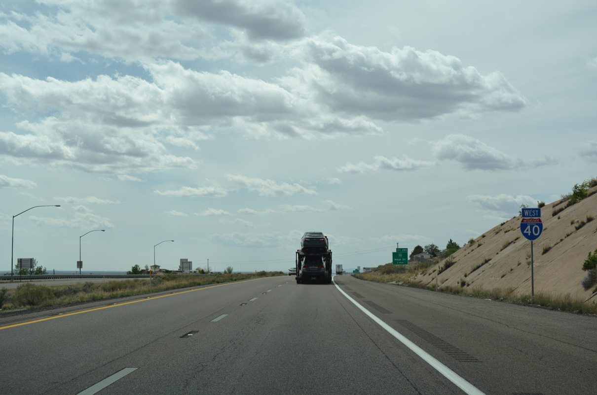
| Curving around the north side of Holbrook, the next exit is for the west end of Business Loop I-40 along Hopi Drive (U.S. 180). 04/27/17 |
|
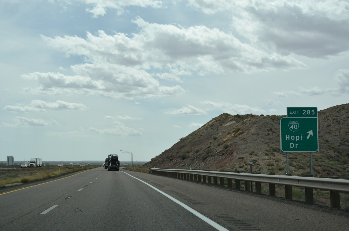
| Business Loop I-40 returns to I-40 alongside U.S. 180 (Hopi Drive) west to a diamond interchange at Exit 285. 04/27/17 |
|
| U.S. 180 overlaps with Business Loop I-40 (Hopi Drive) 1.7 miles east to SR 77 (Navajo Boulevard). 04/27/17 |
|
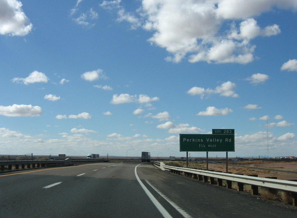
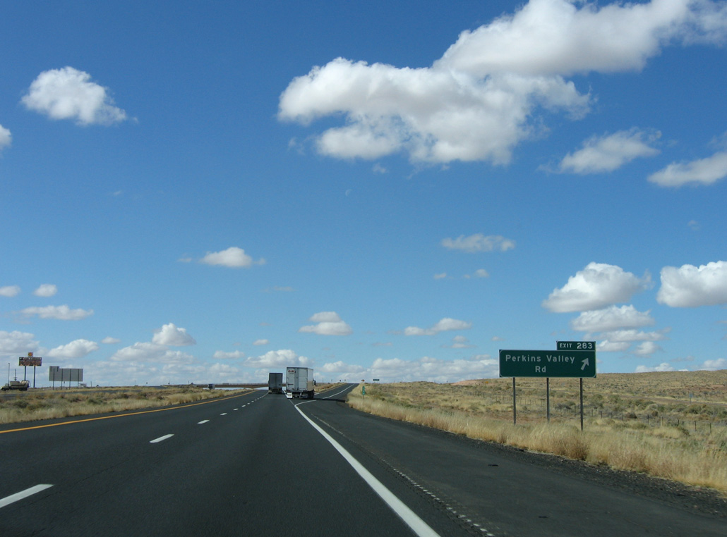
| I-40 and U.S. 180 combine 1.25 miles ahead of Exit 283 for Perkins Valley Road. 11/12/06 |
|
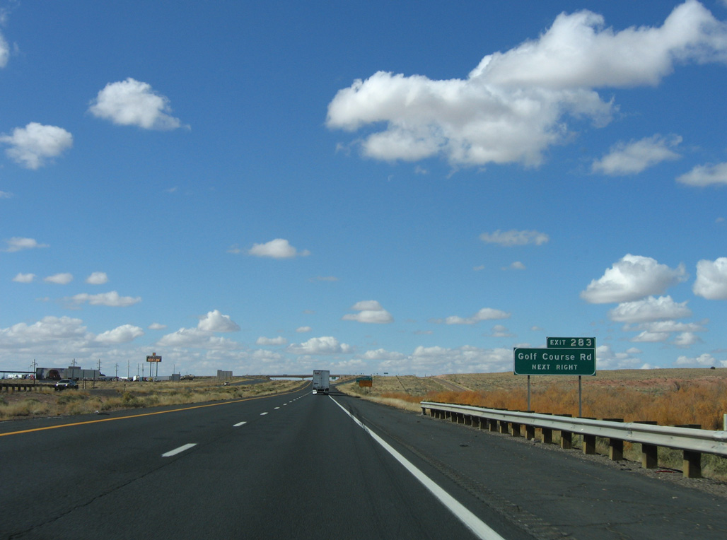
| Golf Course Road runs along the north side of I-40/U.S. 180 at Exit 283. The local road meanders northeast to Hidden Cove Golf Course, which is owned by the city of Holbrook. 11/12/06 |
|
| The exchange with Perkins Valley Road marks the western extend of the Holbrook city limits. 11/12/06 |
|
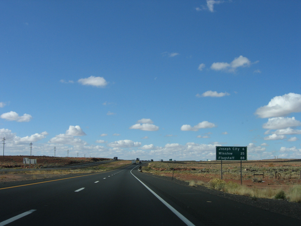
| Interstate 40 is designated the Purple Heart Trail through Arizona. The freeway proceeds west six miles to Joseph City and 88 miles to Flagstaff. 11/12/06 |
|
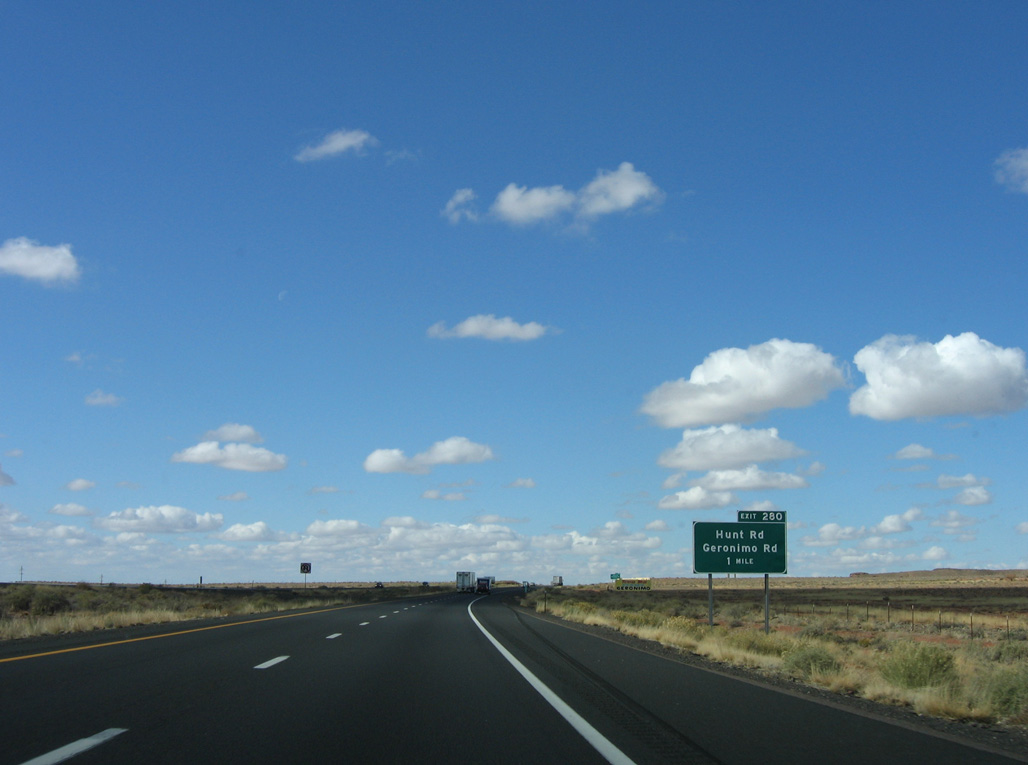
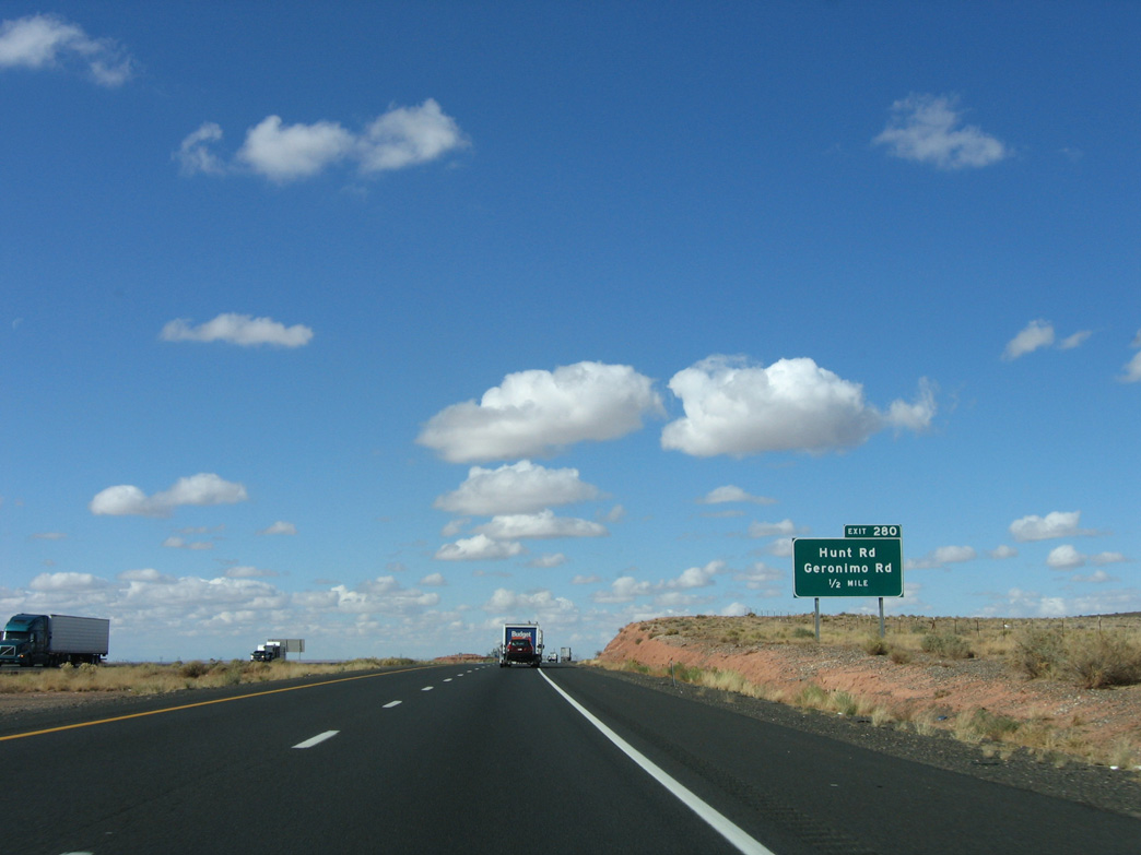
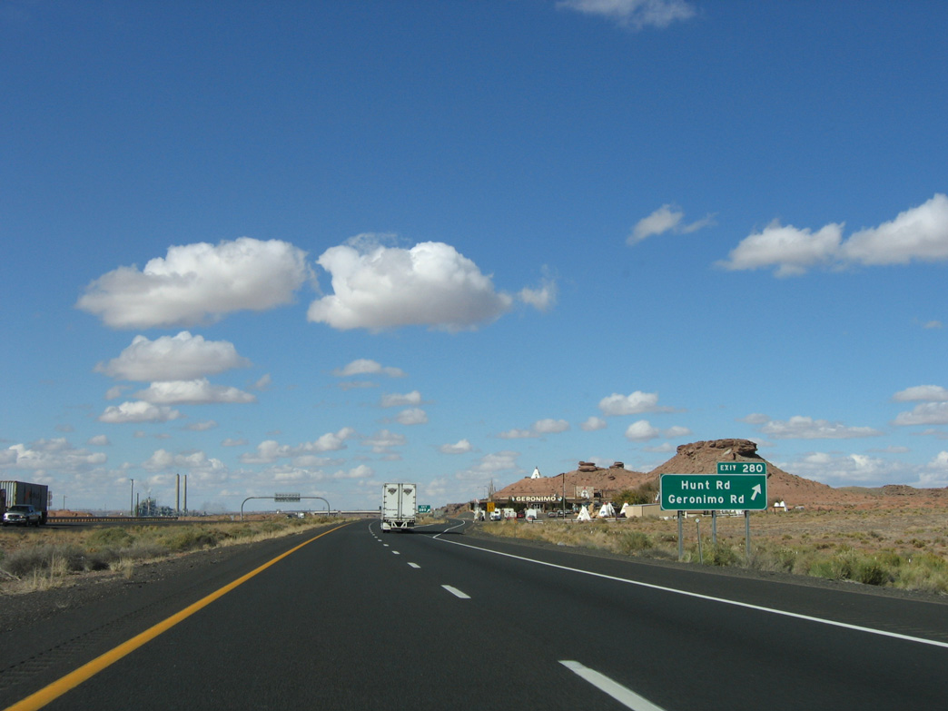
| A modified diamond interchange (Exit 280) links I-40/U.S. 180 with Hunt Road and Geronimo Road in one mile. 11/12/06 |
|
| Geronimo Road extends from the off-ramp at Exit 280 to Hunt Road at the forthcoming overpass. 11/12/06 |
|
| Geronimo Trading Post, one of the many trading posts along Historic U.S. 66, is located just off the freeway at Exit 280. 11/12/06 |
Page Updated 06-08-2020.

 West
West

 West
West