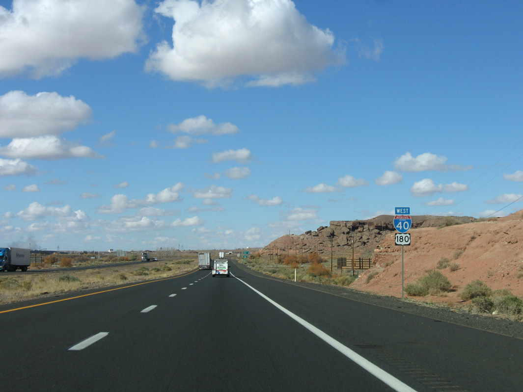
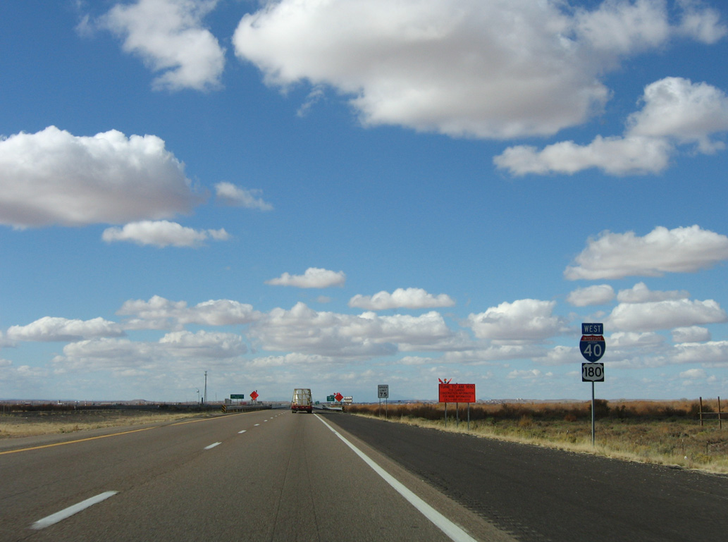
I-40/U.S. 180 west from Business Loop I-40 (Main Street) at Joseph City, Arizona. 04/27/17
|
| I-40 and U.S. 180 advance to Joseph City. The two routes overlap westward all the way to Flagstaff. 11/12/06 |
|
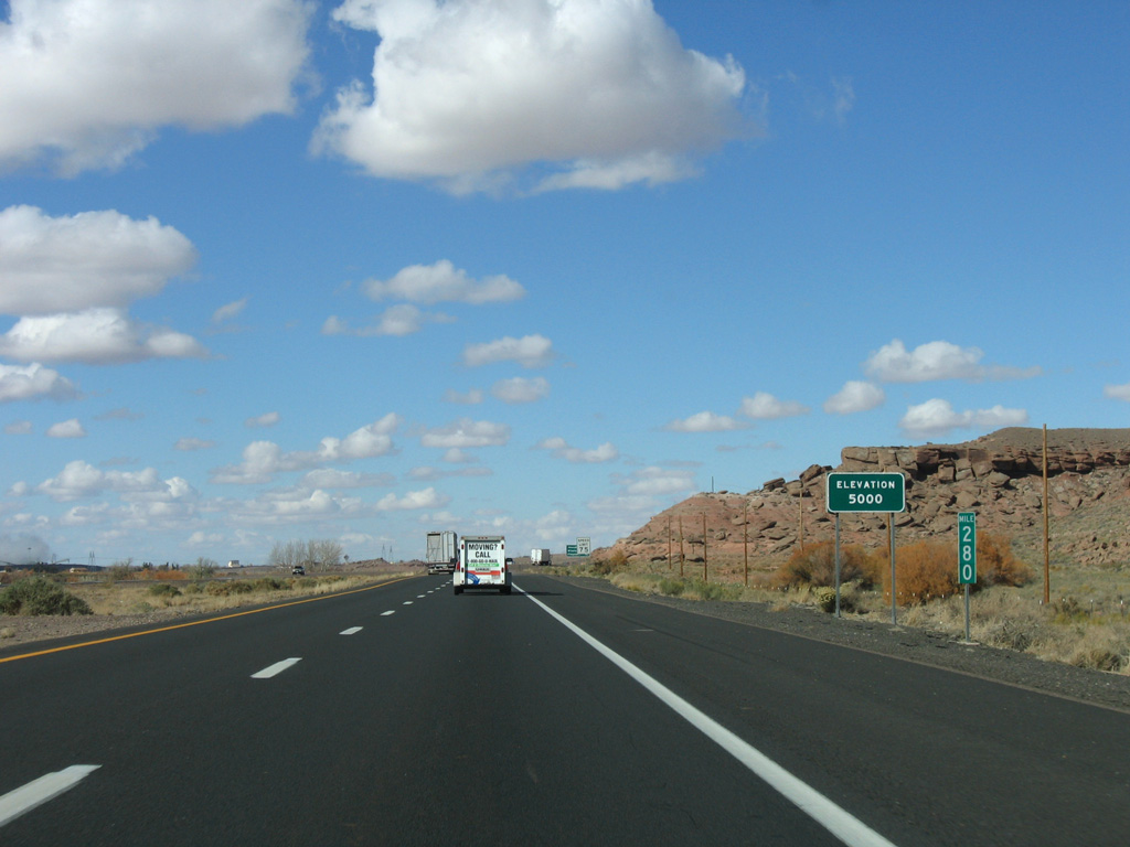
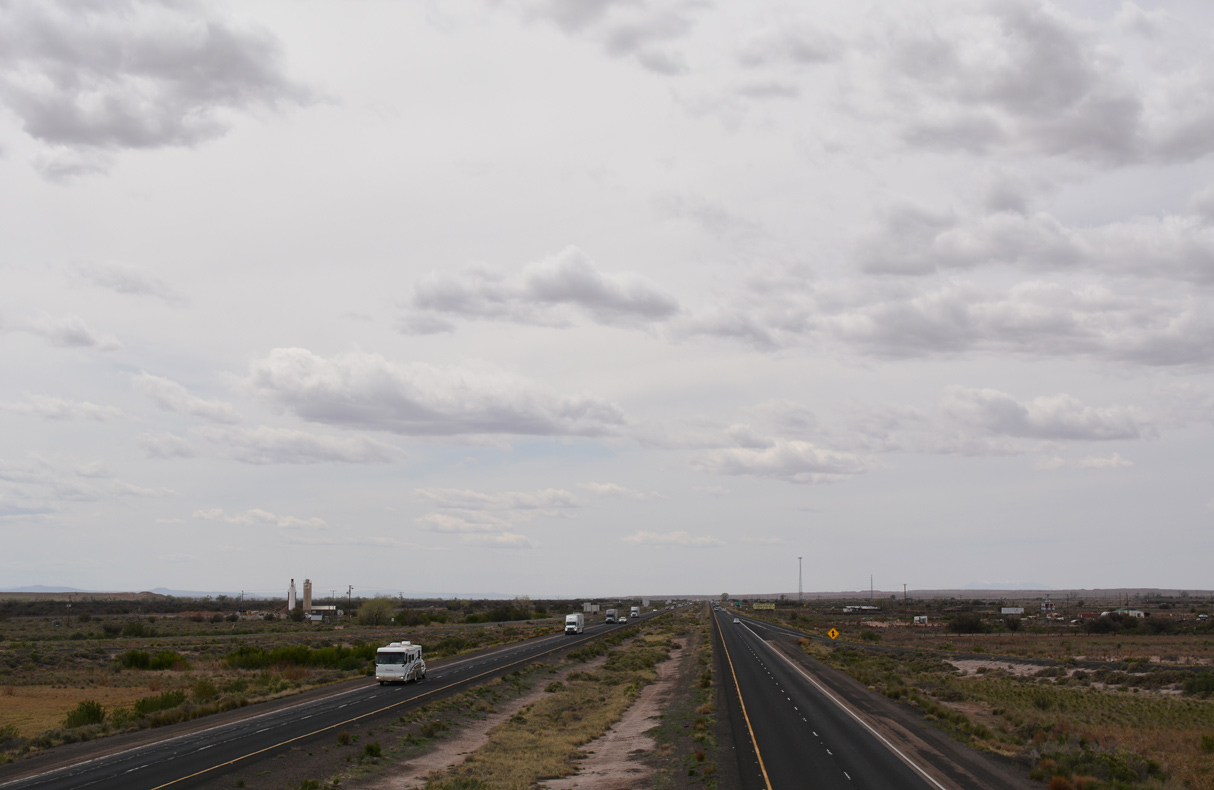
| Interstate 40 passes through the high grasslands of northeastern Arizona. At this point, the freeway is at an elevation of 5000 feet. 11/12/06 |
|
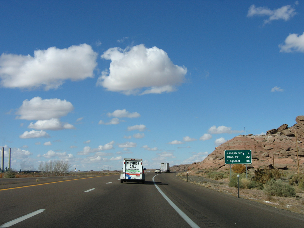
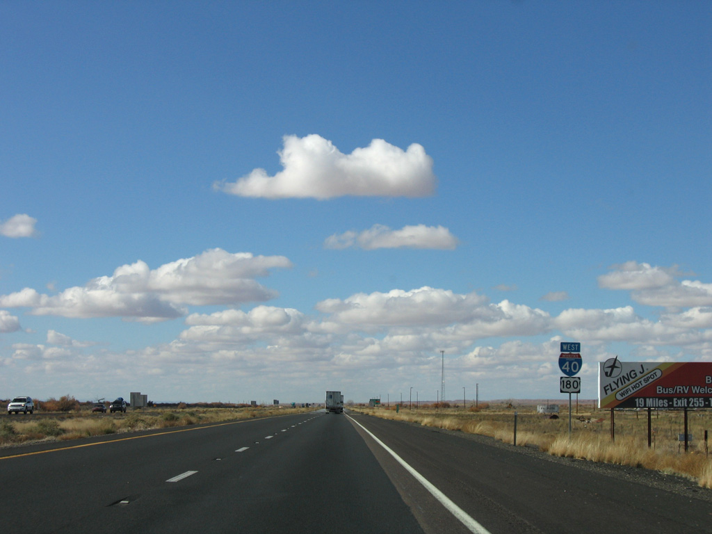
| Distance sign to Joseph City (3 miles), Winslow (22 miles) and Flagstaff (85 miles). 11/12/06 |
|
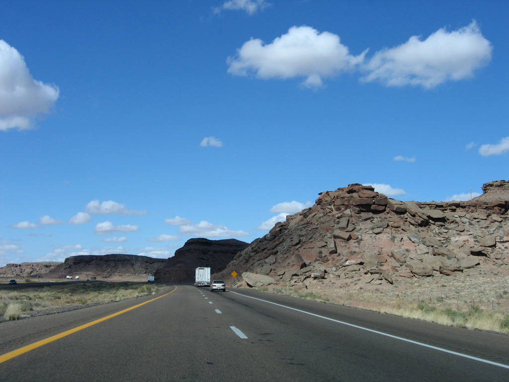
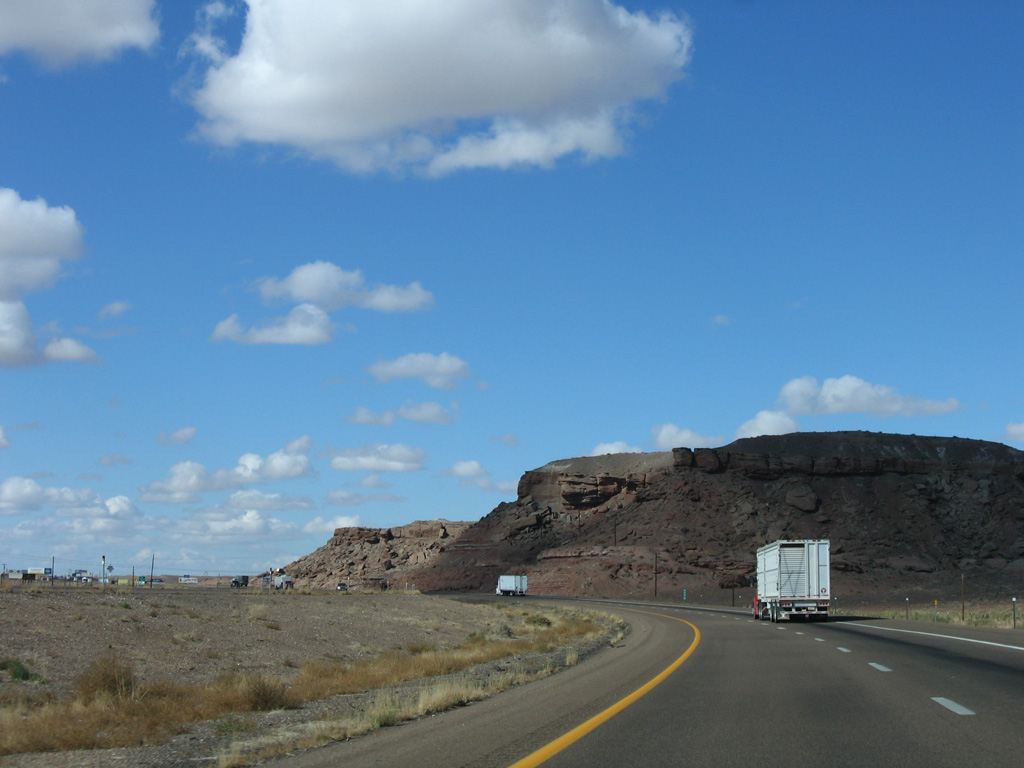
| I-40/U.S. 180 straddles the edge of the Little Colorado River valley, staying close to the bluffs on the north side. 11/12/06 |
|
| A 2.83 mile long route along Main Street, forthcoming Business Loop I-40 joins I-40/U.S. 180 with Joseph City. 11/12/06 |
|
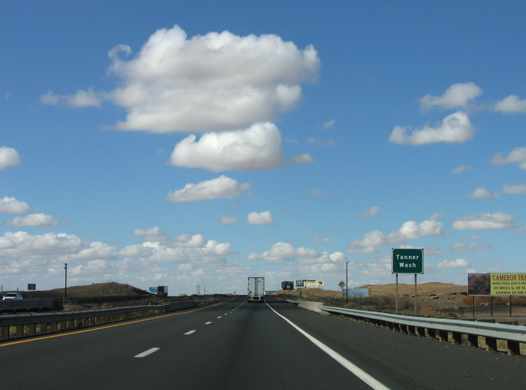
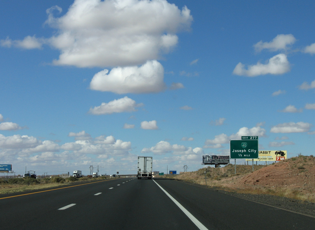
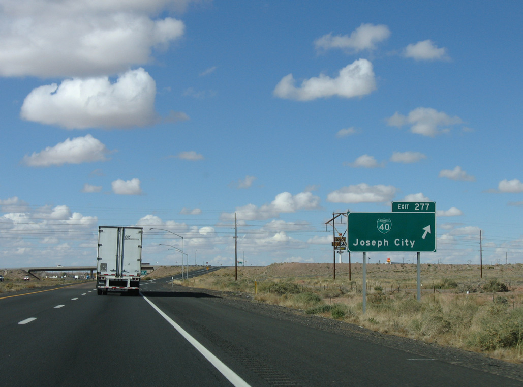
| I-40/U.S. 180 cross Tanner Wash ahead of the diamond interchange (Exit 277) with Business Loop I-40 (Main Street). 11/12/06 |
|
| Business Loop I-40 along Main Street follows Historic U.S. 66. 11/12/06 |
|
| Joseph City was founded by Mormon pioneers in 1876, and named after the Mormon prophet Joseph Smith (who translated the Book of Mormon). The town was a farming center until the 1960s, when the nearby Cholla power plant opened and subsequently dried up groundwater supplies used for farming. 11/12/06 |
|
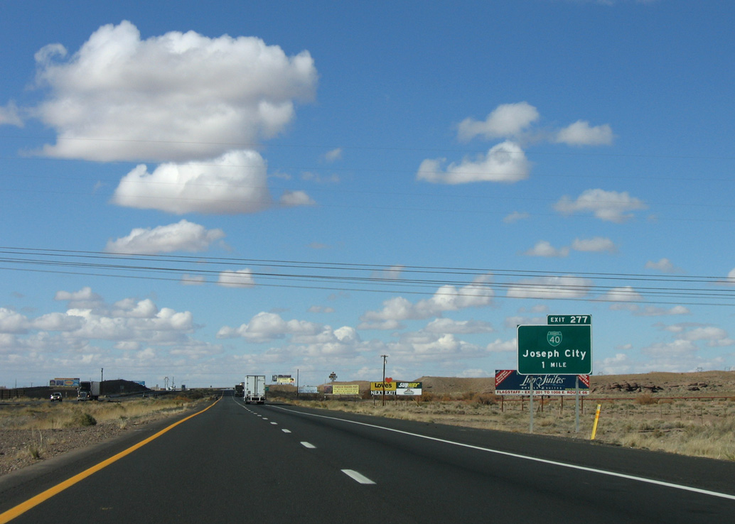
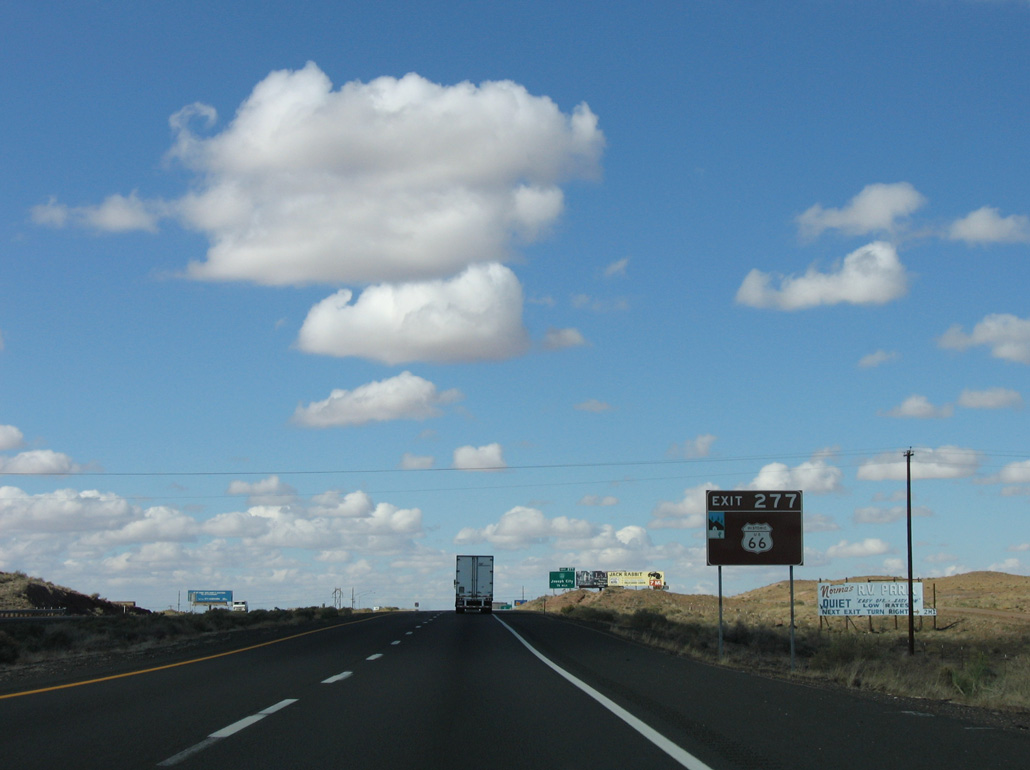
| Exit 277 departs I-40/U.S. 180 west for Business Loop I-40 and Historic US 66 into Joseph City. 11/12/06 |
|
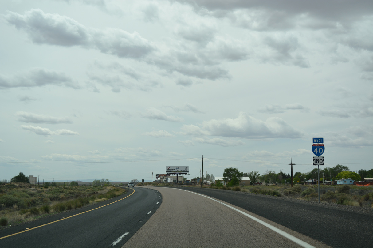
| West from Exit 277, I-40/U.S. 180 pass just south of the Joseph City business district. 04/27/17 |
|
| Business Loop I-40 returns to I-40/U.S. 180 one mile west of the Westover Avenue overpass in Joseph City. 04/27/17 |
|
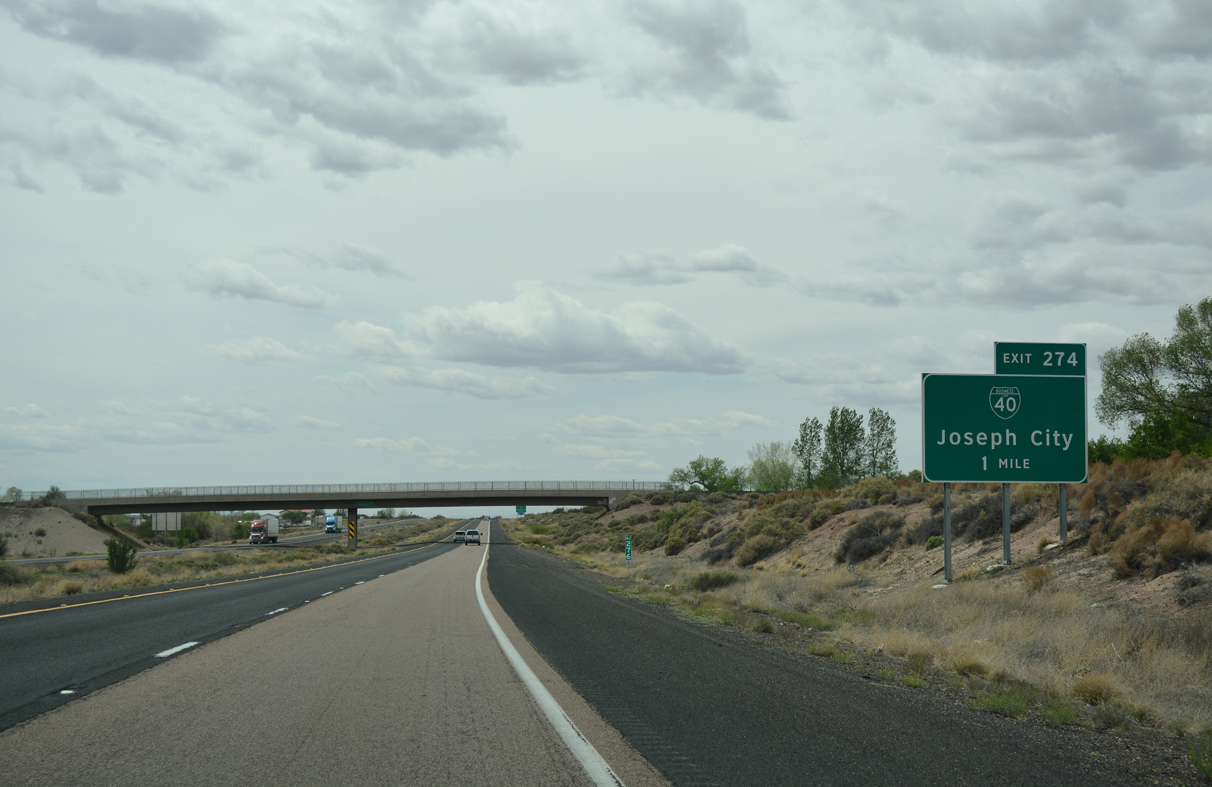
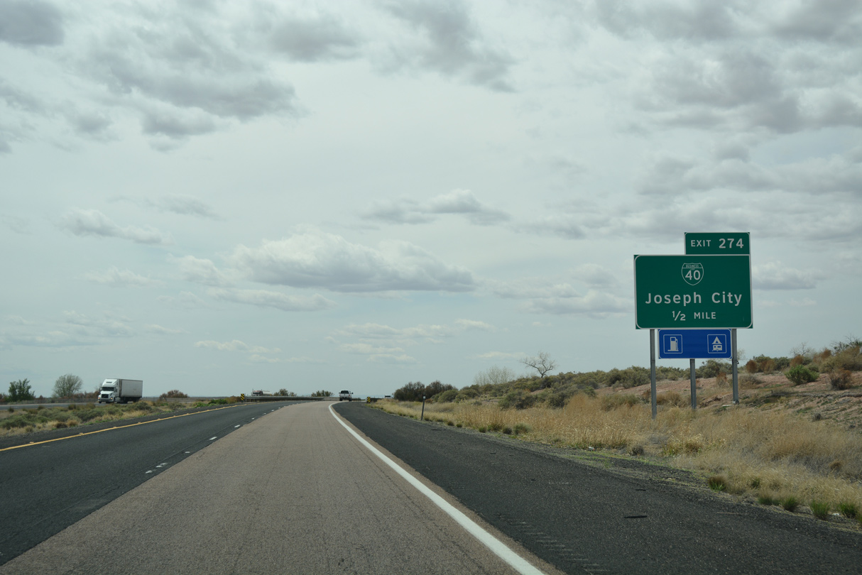
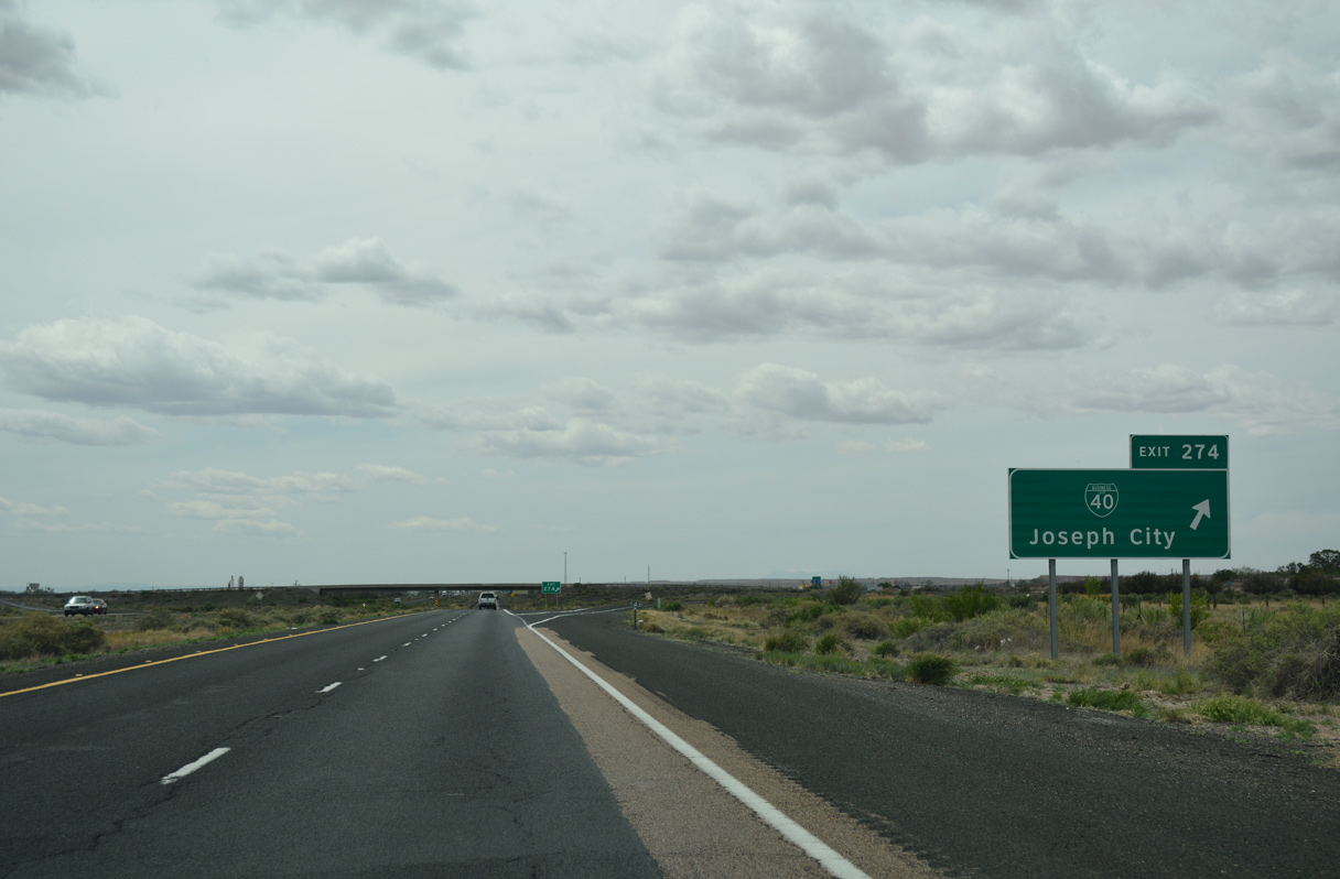
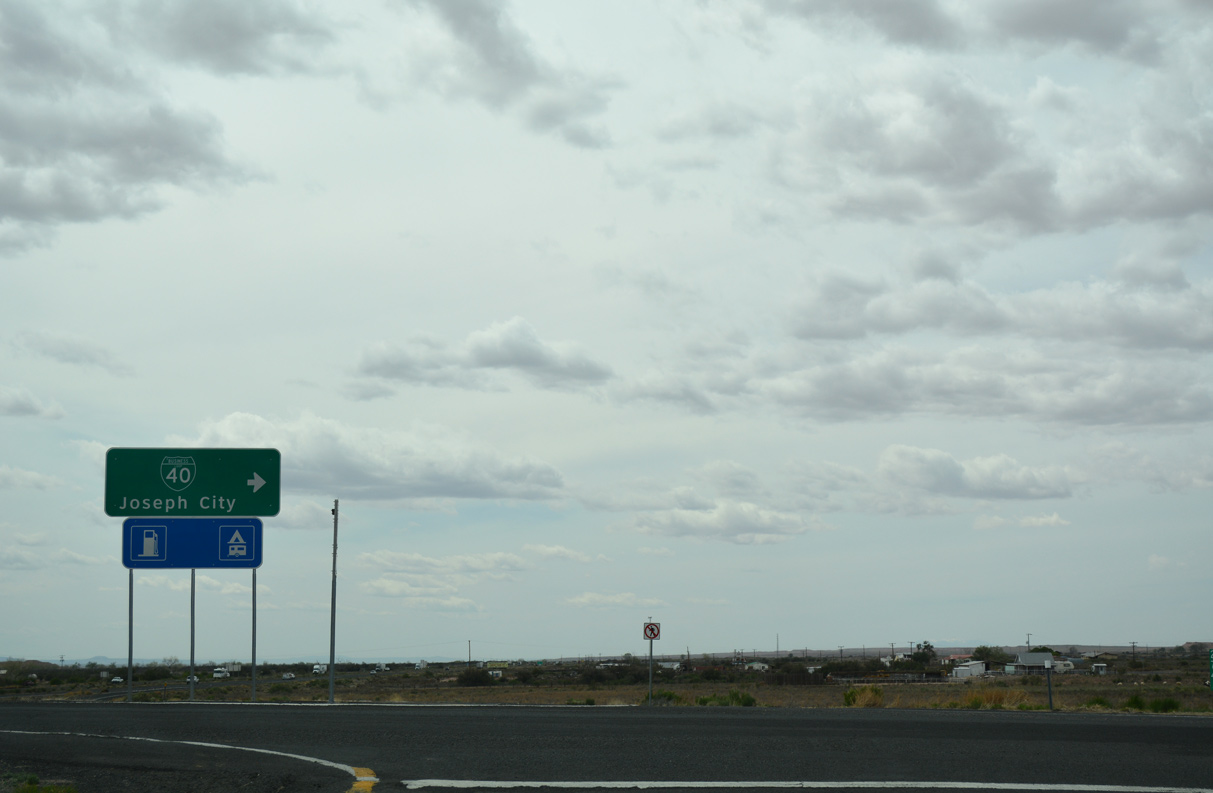
| The diamond interchange (Exit 274) with the west end of Business Loop I-40 lies just beyond Joseph City Wash. 04/27/17 |
|
| Business Loop I-40 stems south from Main Street (Historic U.S. 66) to the exchange with I-40/U.S. 180 at Exit 274 and a south side frontage road. 04/27/17 |
|
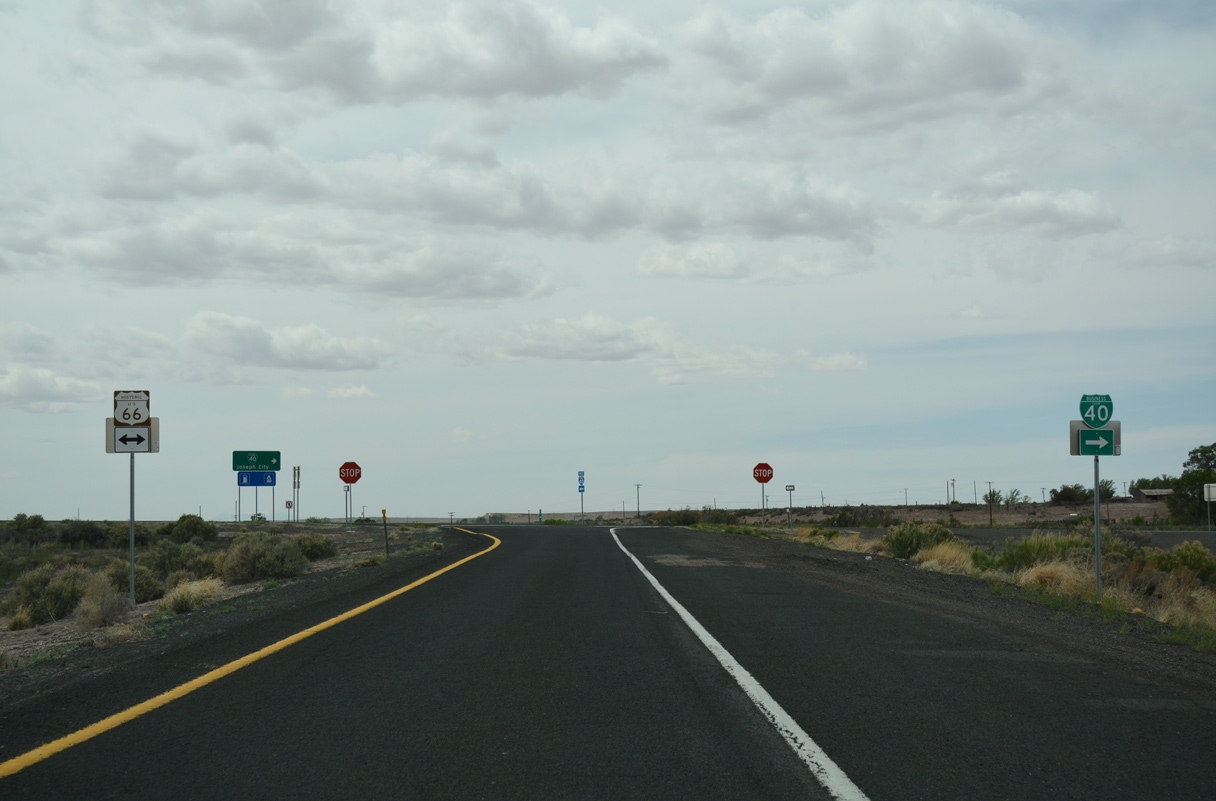
| Old U.S. 66 dead ends west from Main Street on the north side of Interstate 40. The south side Frontage Road extends west to the succeeding section of Historic U.S. 66 at the BNSF Railroad siding of Manila. 04/27/17 |
|
| Winslow lies 20 miles to the west of Joseph City along I-40/U.S. 180. Flagstaff is a just over an hour away. 11/12/06 |
|
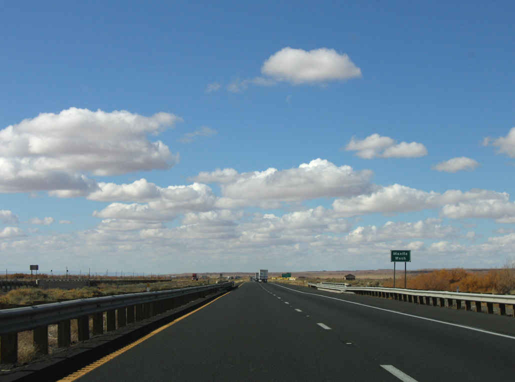
| I-40/U.S. 180 cross Manila Wash adjacent to Manila and old U.S. 66. 11/12/06 |
|
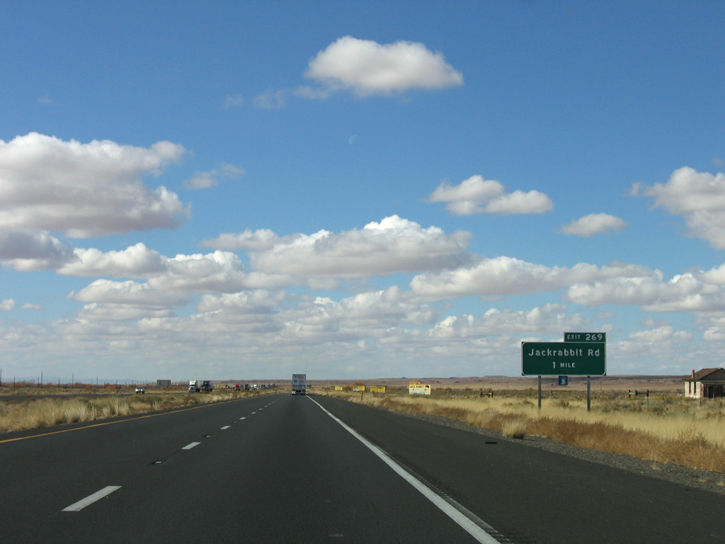
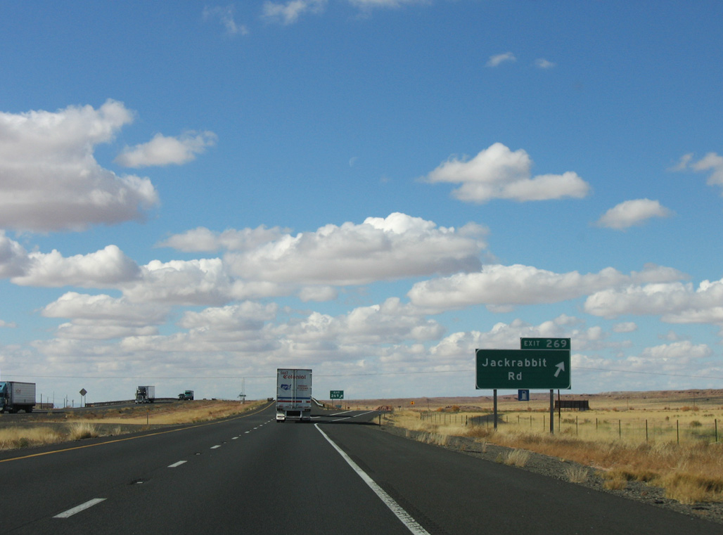
| A diamond interchange (Exit 269) follows in one mile at Jackrabbit Road. 11/12/06 |
|
| Exit 269 parts ways with I-40/U.S. 180 west for Jackrabbit Road. 11/12/06 |
|
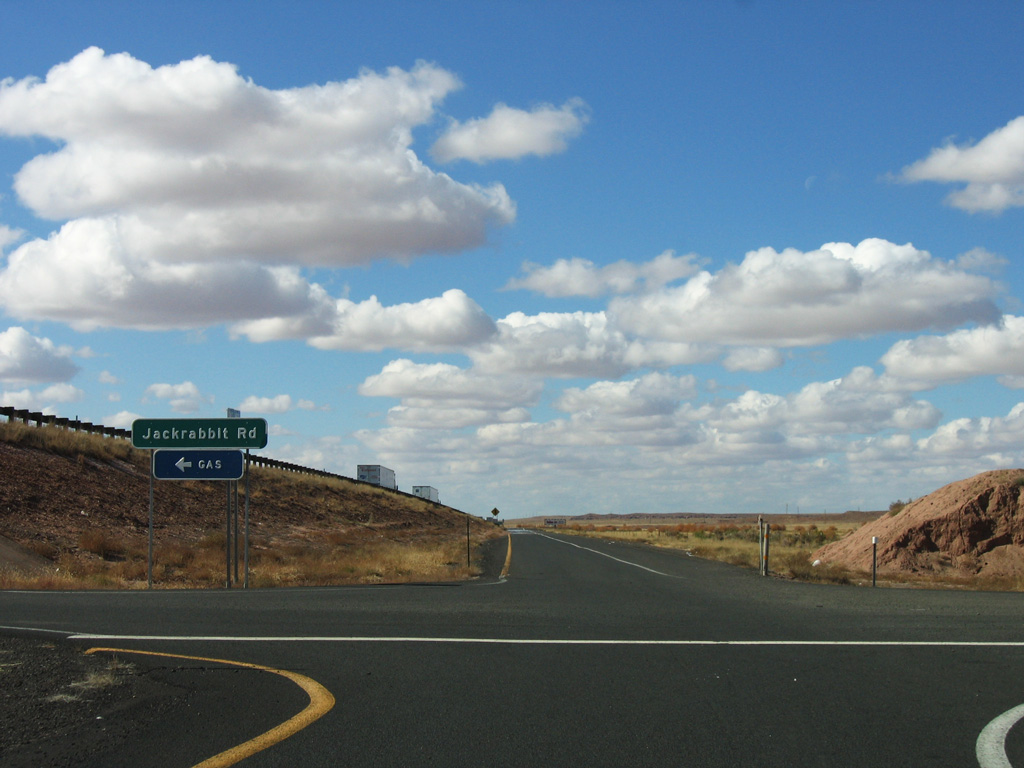
| Jackrabbit Road serves the Jackrabbit Trading Post and former US 66. 11/12/06 |
|
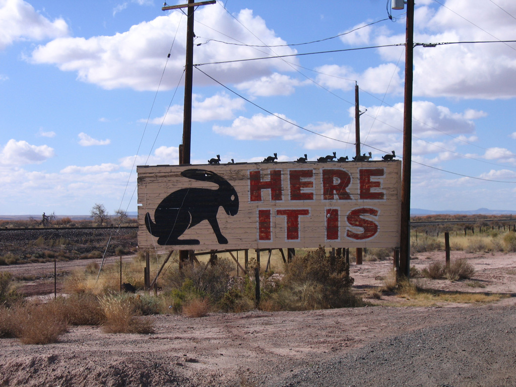
| The famous "Here It Is" sign along Jackrabbit Trail can be seen on former U.S. 66 across the road from the Jackrabbit Trading Post. This sign was spoofed in the Disney/Pixar movie Cars, and transplanted to Radiator Springs. 11/12/06 |
|
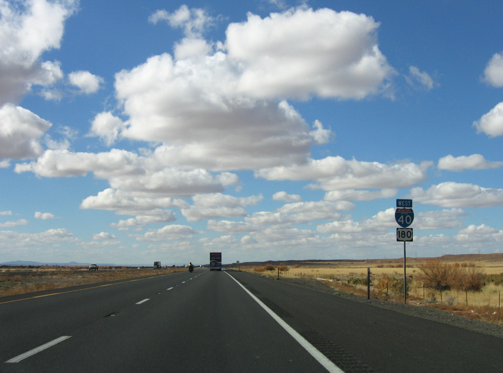
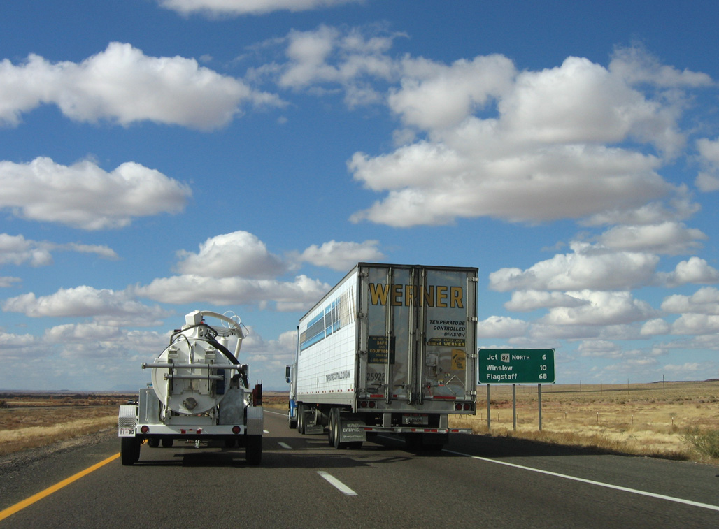
| Flagstaff lies 73 miles to the west of Jackrabbit via I-40/U.S. 180. 11/12/06 |
|
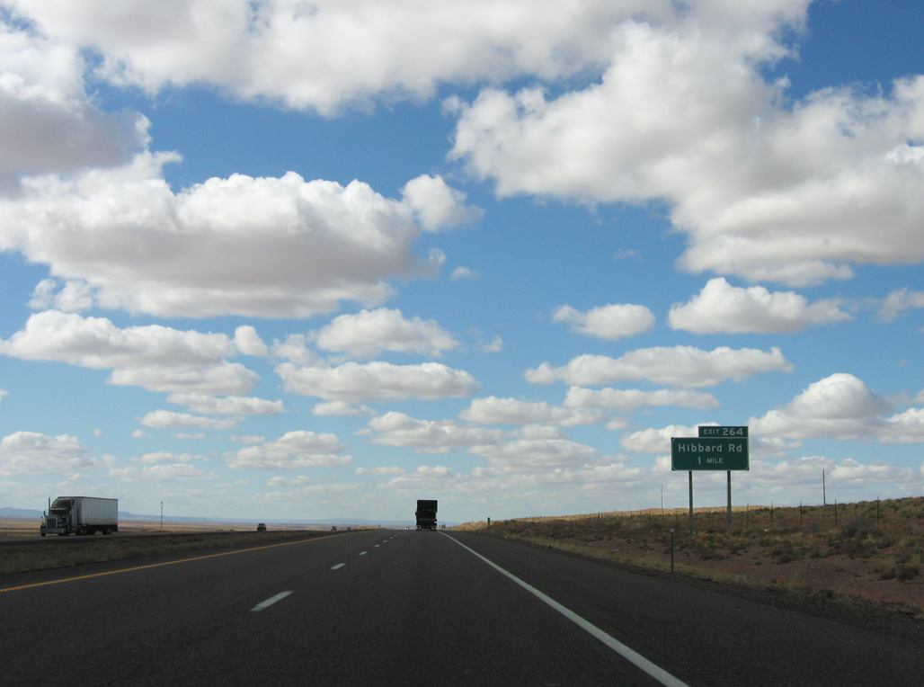
| Forthcoming Hibbard Road represents another section of old U.S. 66/180 bypassed by Interstate 40. 11/12/06 |
|
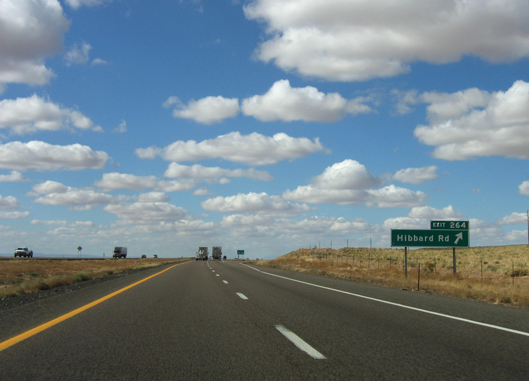
| Entering the diamond interchange (Exit 264) with Hibbard Road. Hibbard is a railroad siding named after the former head of the Santa Fe Railroad. 11/12/06 |
|
| I-40/U.S. 180 continue six miles from Hibbard to SR 87 north and ten miles into the city of Winslow. 11/12/06 |
|
| I-40/U.S. 180 next cross Cottonwood Wash. Historically there were many cottonwood trees along the wash that pioneers cut down and used. 11/12/06 |
|
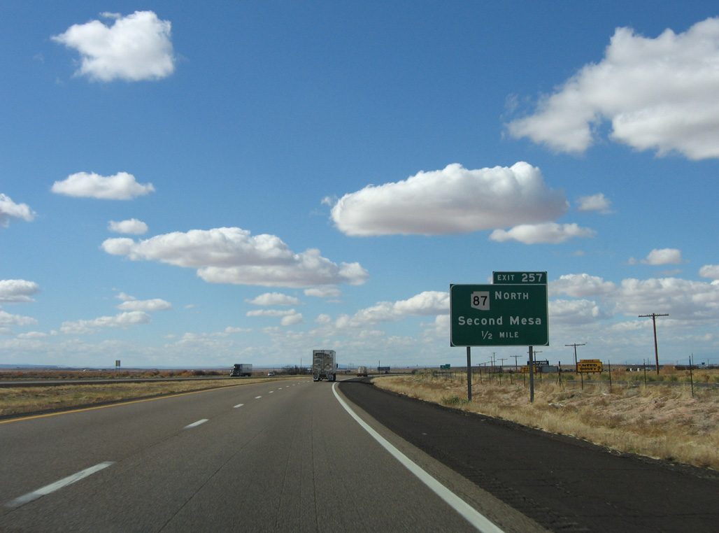
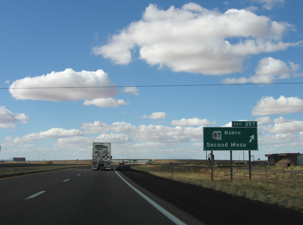
| A diamond interchange (Exit 257) joins I-40/U.S. 180 with SR 87 on the east side of Winslow in one mile. 11/12/06 |
|
| Homolovi Ruins State Park lies just north of Exit 257 along SR 87. Opened in 1993, the park protects an old Hopi pueblo. 11/12/06 |
|
| SR 87 west from Exit 257 overlays Historic U.S. 66 into Downtown Winslow. U.S. 66 partitions between a couplet of 2nd/3rd Streets through the Winslow street grid. 11/12/06 |
|
| State Route 87 was extended north of Interstate 40 in 1968, incorporating former SR 65. 11/12/06 |
|
| SR 87 travels 40 miles north from Winslow onto Ives Mesa to SR 264 at Second Mesa. 11/12/06 |
|
| Three additional exits connect I-40/U.S. 180 west with Winslow over the course of 5.25 miles. 11/12/06 |
|
| The succeeding exit along I-40/U.S. 180 west is with Transcon Lane north and former Business Loop I-40 west. 11/12/06 |
|
| Confirming markers posted ahead of the Little Colorado River. 11/12/06 |
|
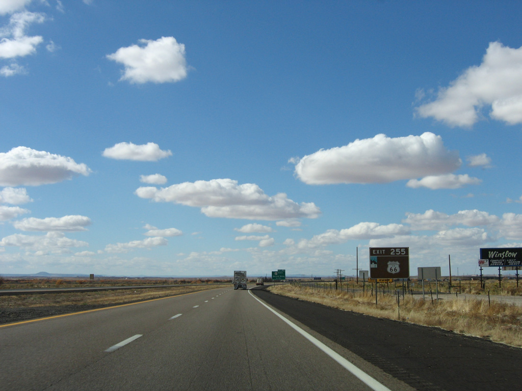
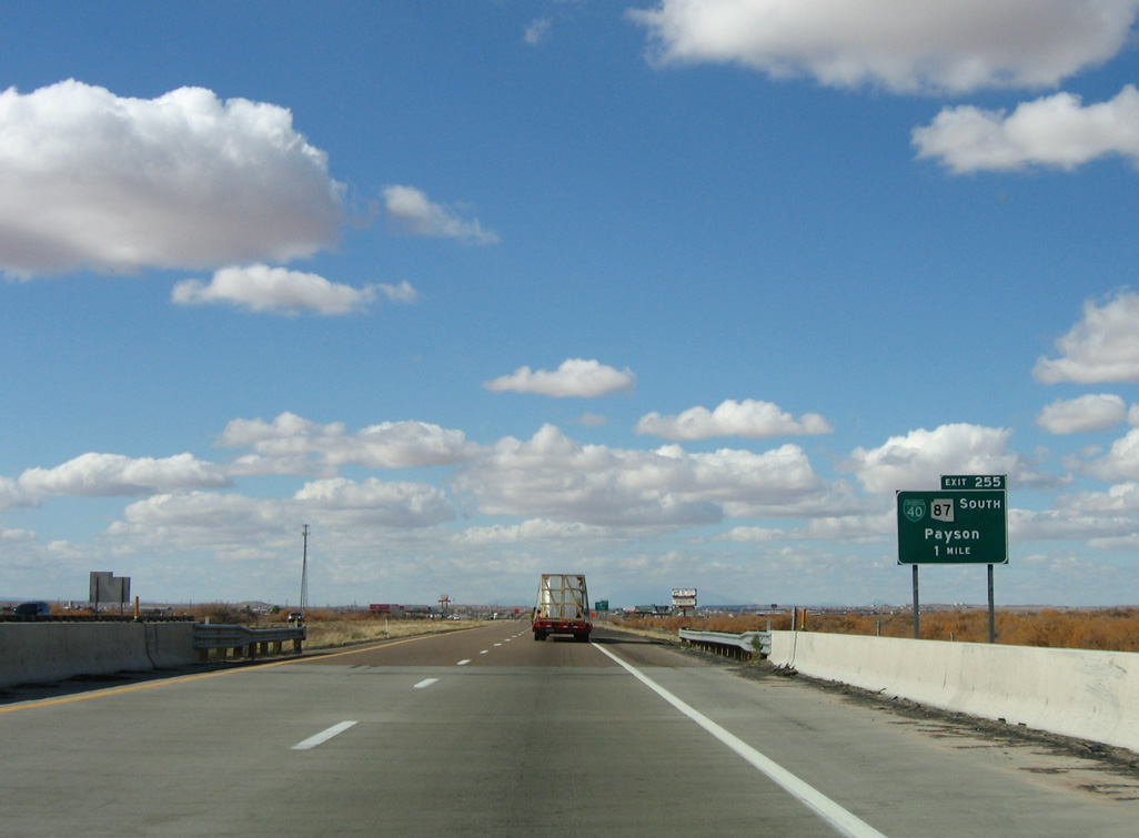
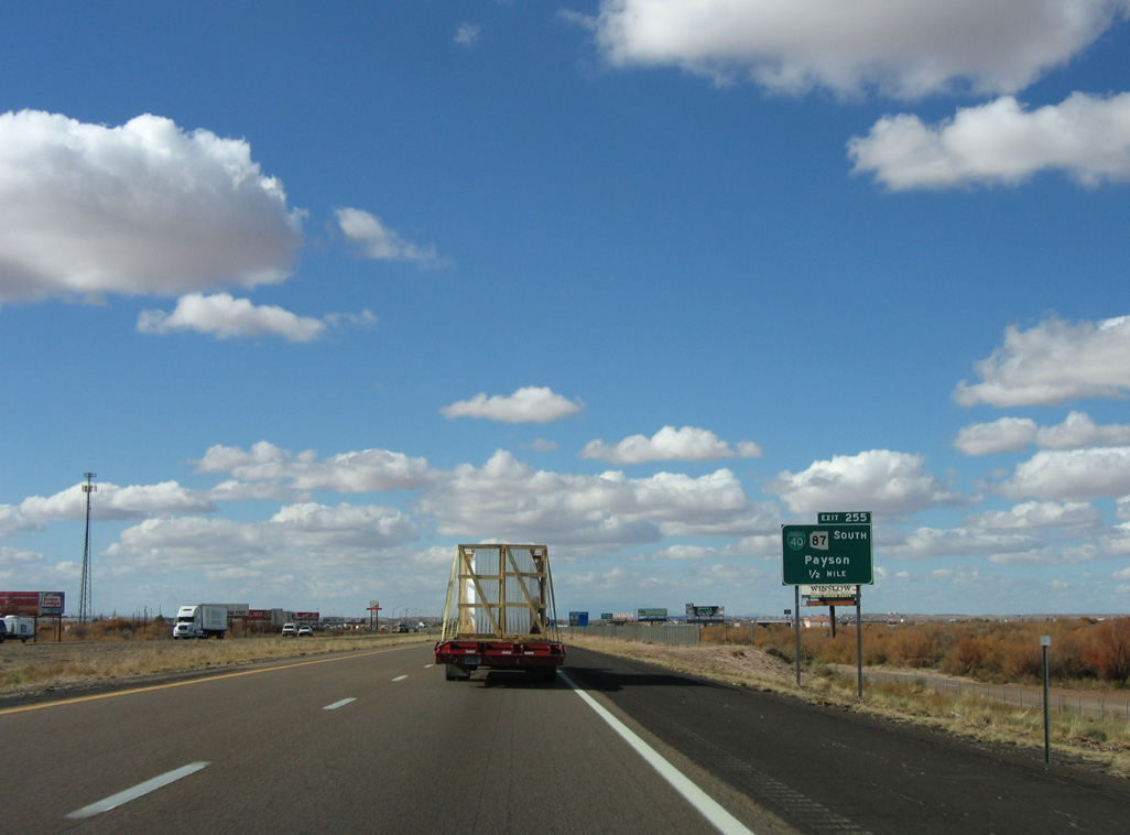
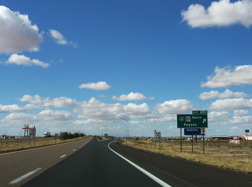
| Motorists headed for SR 87 south to Payson are directed off I-40/U.S. 180 west at Exit 255. This bypasses a portion of SR 87 to the south along Historic U.S. 66. 11/12/06 |
|
| SR 87 (3rd Street) continues 1.3 miles west from former Business Loop I-40 south of Exit 255 to Williamson Avenue in Downtown Winslow. The state route turns south from there toward Payson and Mesa. 11/12/06 |
|
| Exit 255 leaves I-40/U.S. 180 west at Transcon Lane. Decommissioned in 2007, Business Loop I-40 was 3.6 miles long. 11/12/06 |
|
| The freeway loops northward as it bypasses the Winslow street grid. 04/27/17 |
|
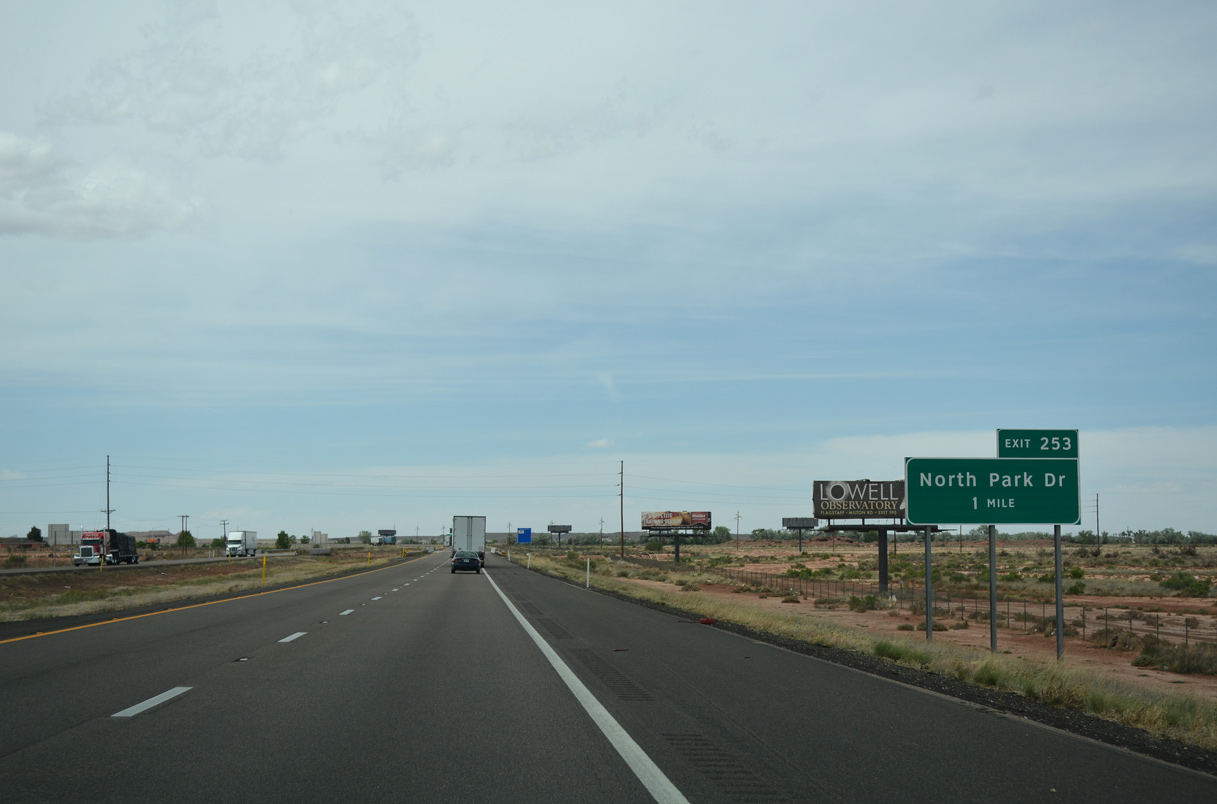
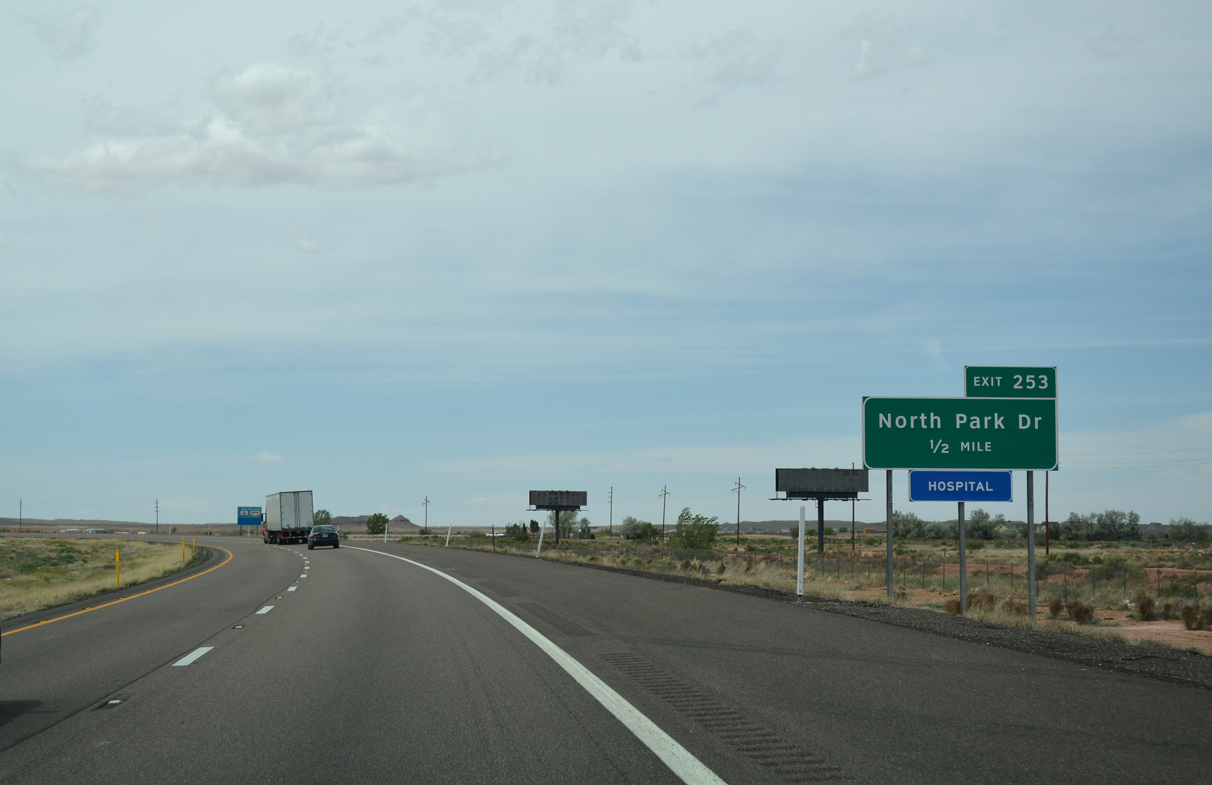
| A single point urban interchange (SPUI) joins I-40/U.S. 180 with North Park Drive in one mile. 04/27/17 |
|
| North Park Drive runs south from a commercial strip at I-40/U.S. 180 to Berry Avenue in a residential area north of Downtown Winslow. 04/27/17 |
|
| The SPUI at Exit 253 was constructed in 2006/07. 04/27/17 |
|
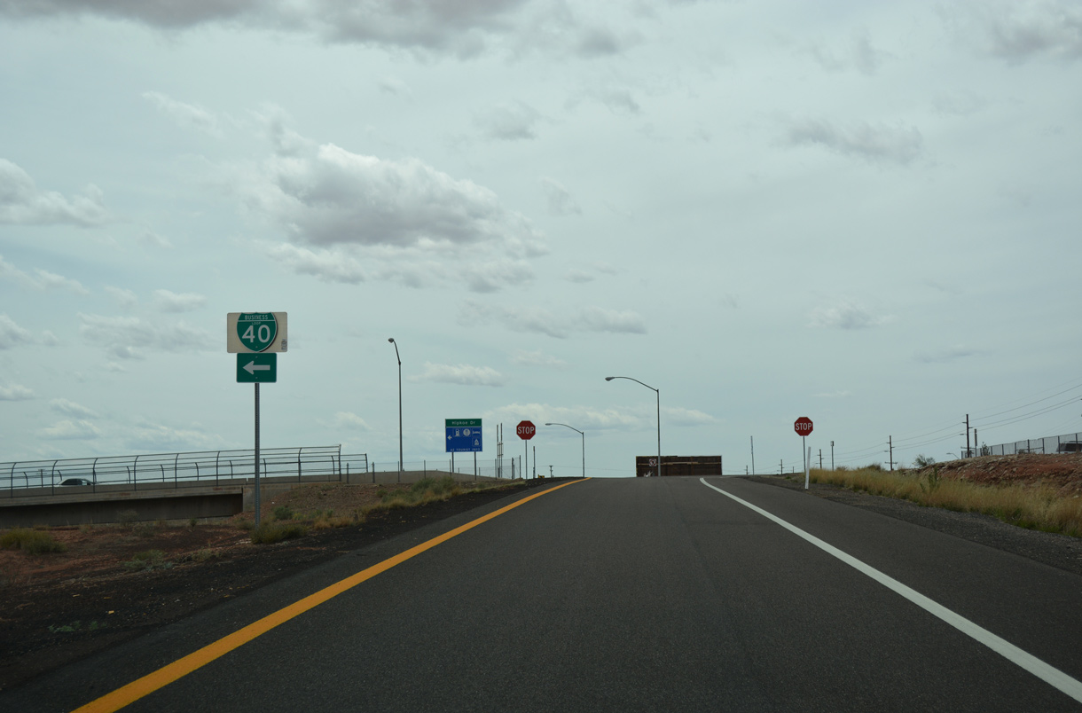
| Business Spur I-40 lines 3rd Street from a point west of Hipkoe Drive (old Business Loop I-40) 0.97 miles to the BNSF Railroad overpass along Winslow Industrial Spur. 04/27/17 |
|
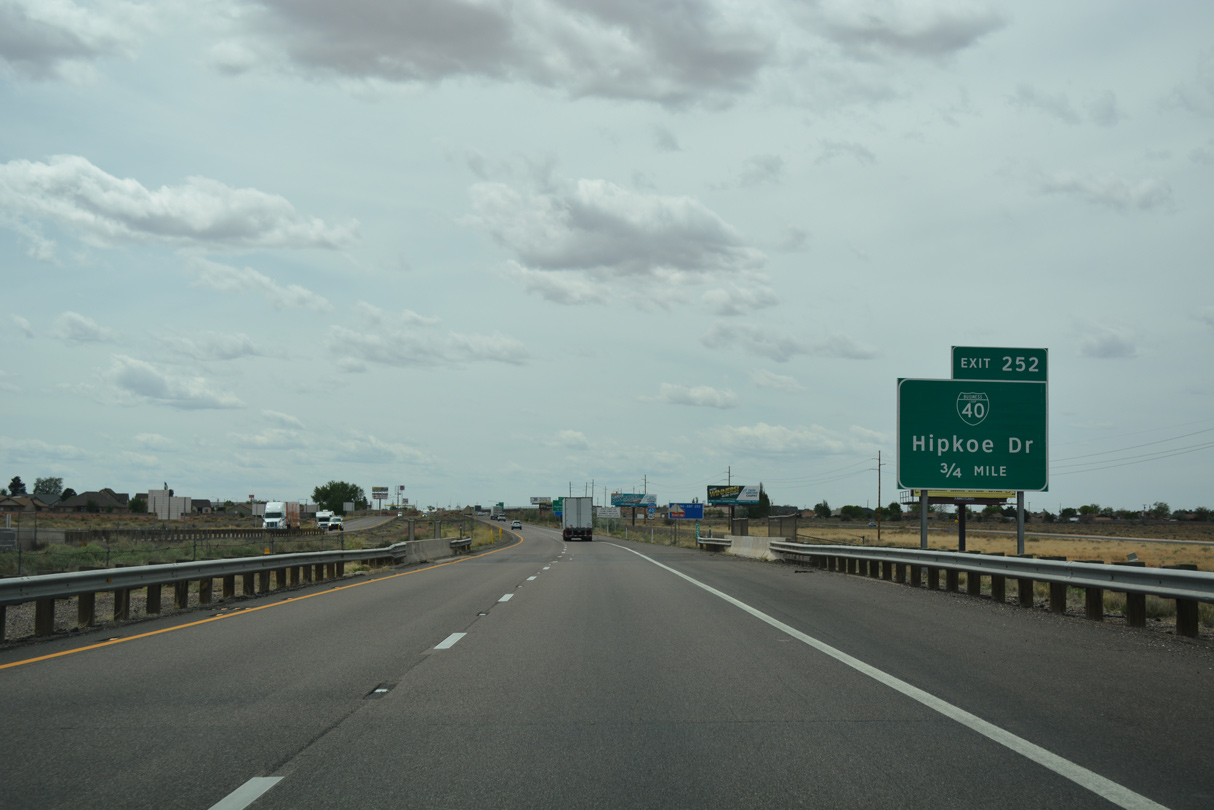
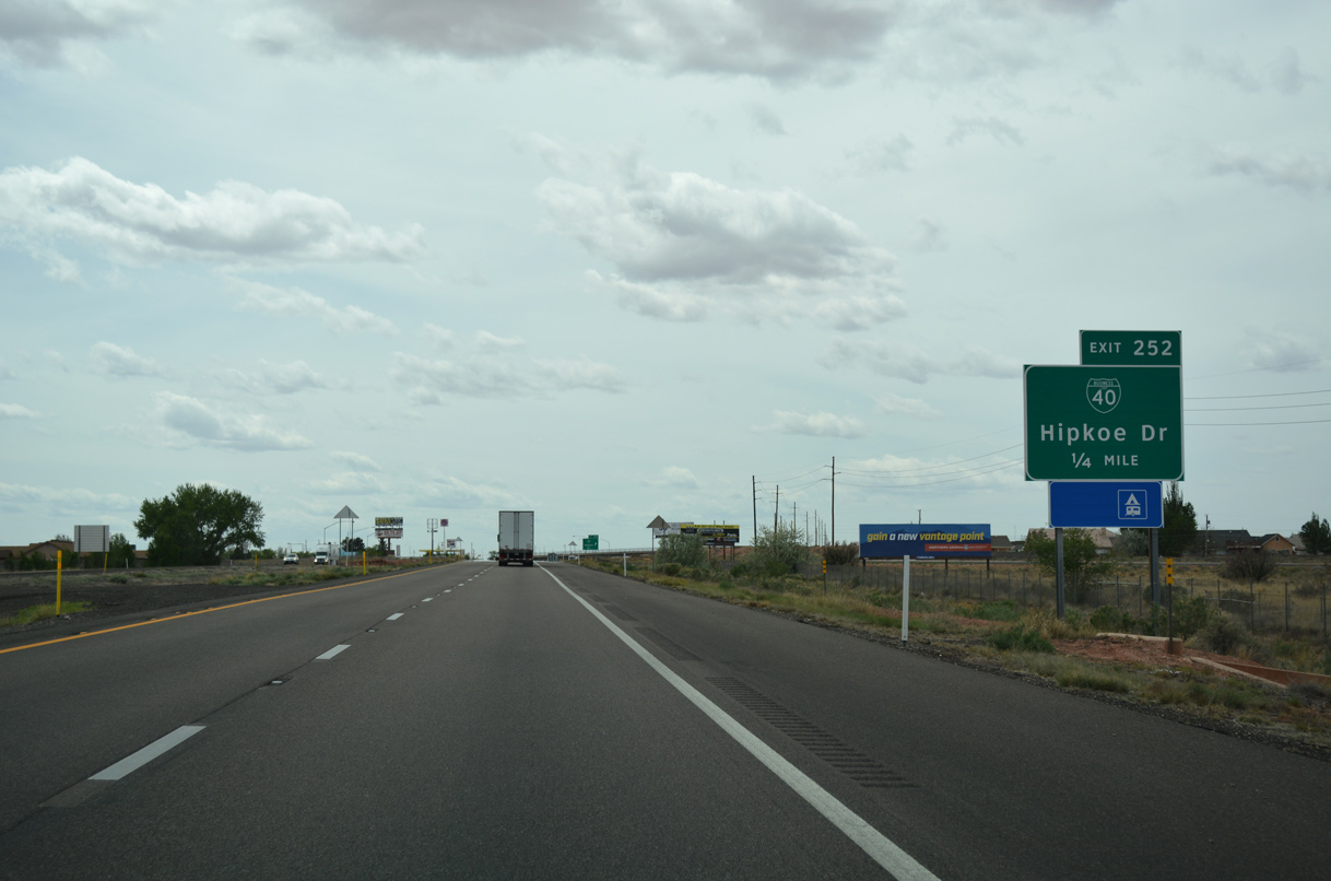
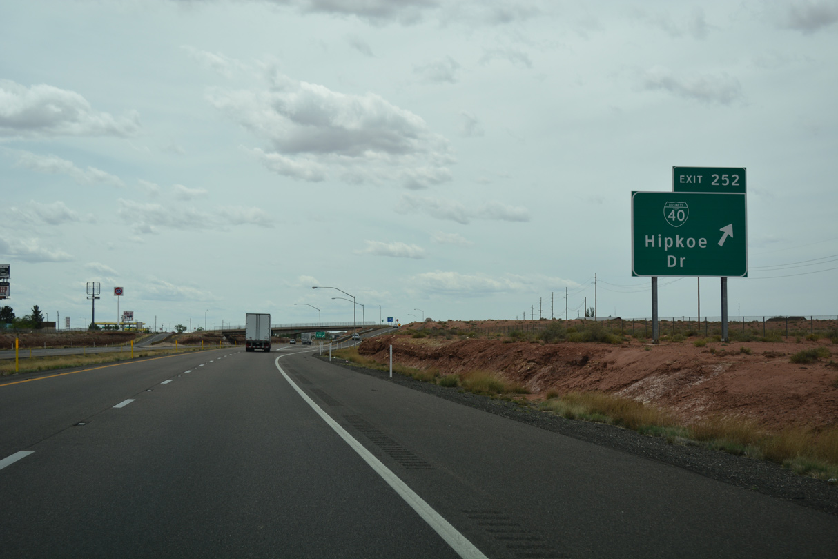
| Exit 252 with Hipkoe Road represents the former west end of Business Loop I-40 along 3rd Street. 04/27/17 |
|
| Entering the diamond interchange (Exit 254) with Hipkoe Drive on I-40/U.S. 180 west. Business Loop I-40 remains well posted despite being decommissioned. 04/27/17 |
|
| Hipkoe Road ties into 3rd Street (Historic U.S. 66) to the immediate south. North from Exit 252, the street serves a residential area. 04/27/17 |
Page Updated 06-08-2020.

 West
West