
 East
East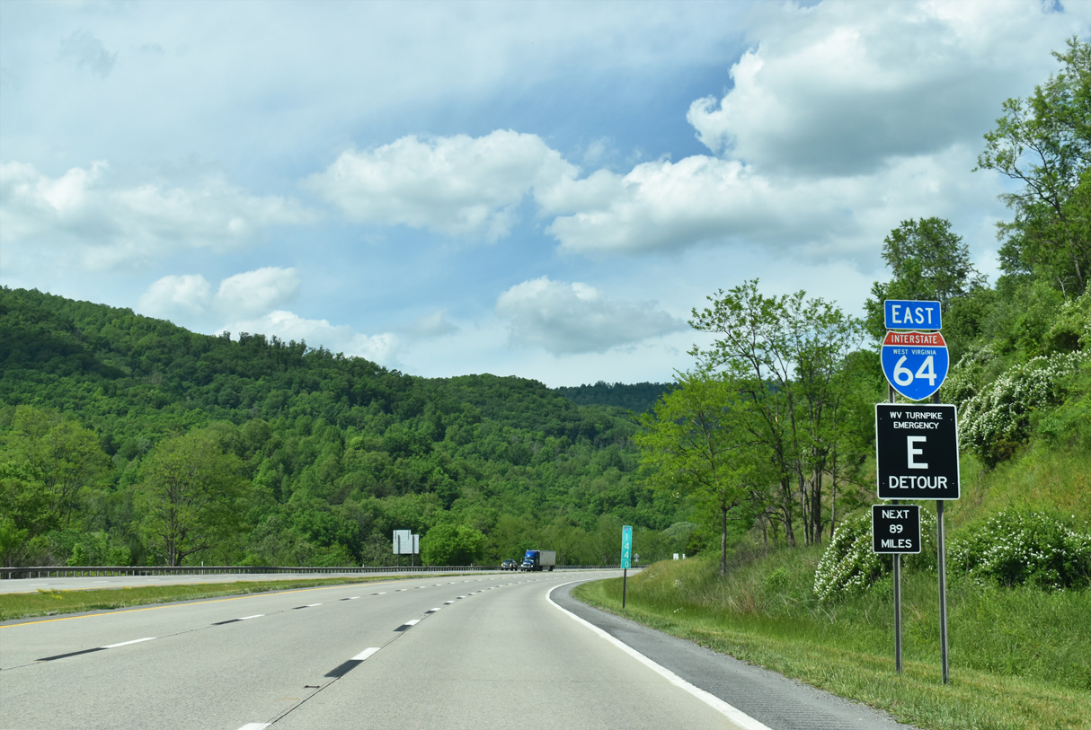
05/27/21
05/27/21
05/27/21
05/27/21
05/27/21
05/27/21
05/27/21
05/27/21
05/27/21
05/27/21
05/27/21
05/27/21
05/27/21
05/27/21
05/27/21
05/27/21
05/27/21
05/27/21
05/27/21
05/27/21
05/27/21
05/27/21
05/27/21
05/27/21
05/27/21
05/27/21
05/27/21
05/27/21
05/27/21
05/27/21
05/27/21
05/27/21
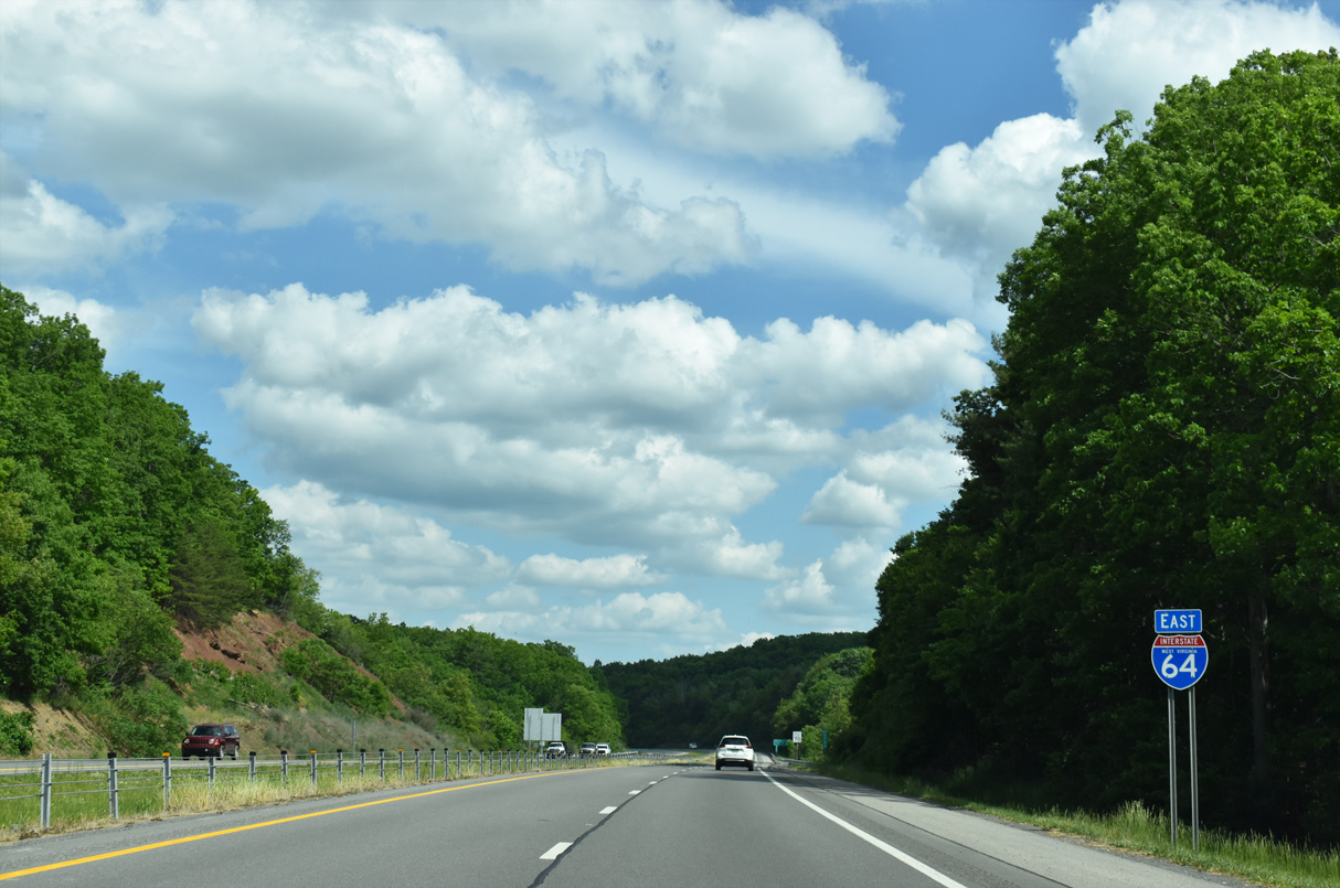
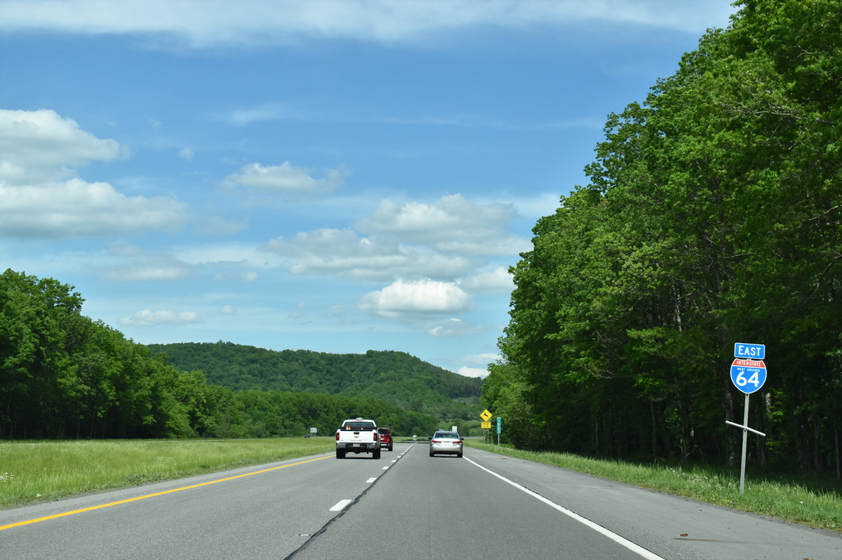
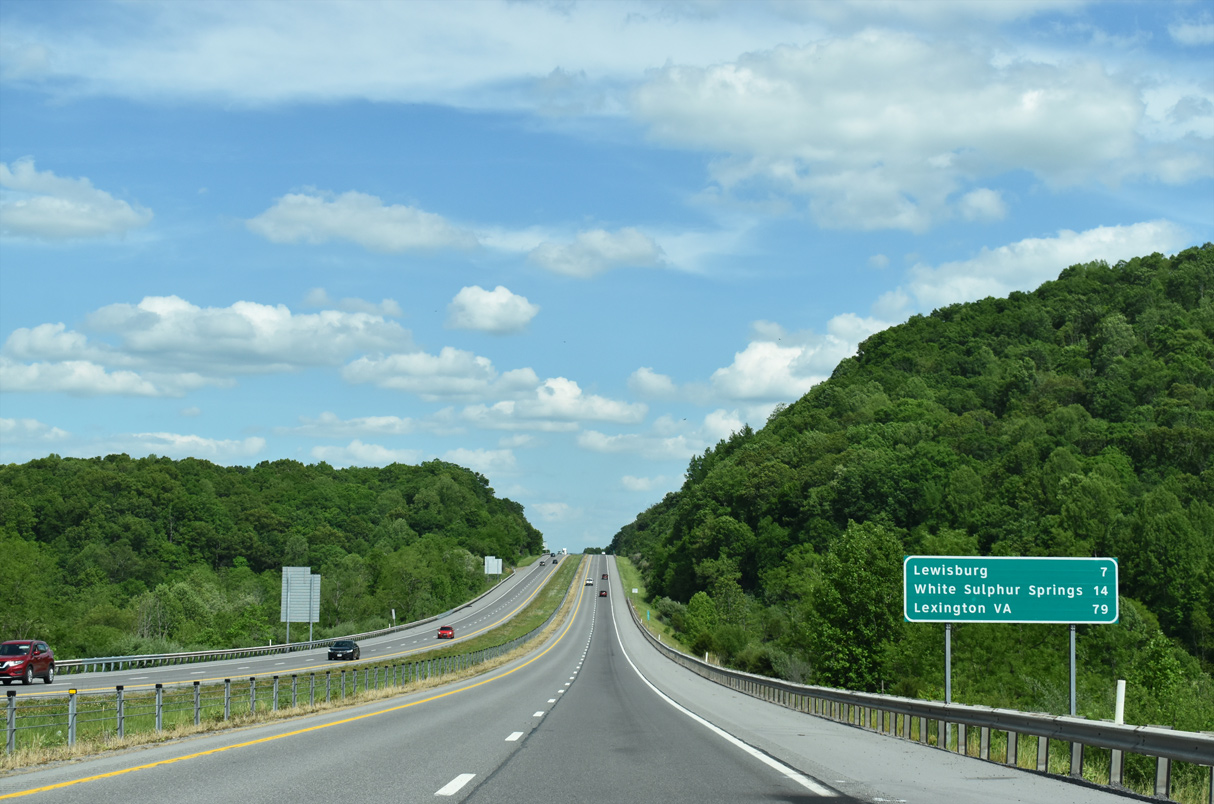
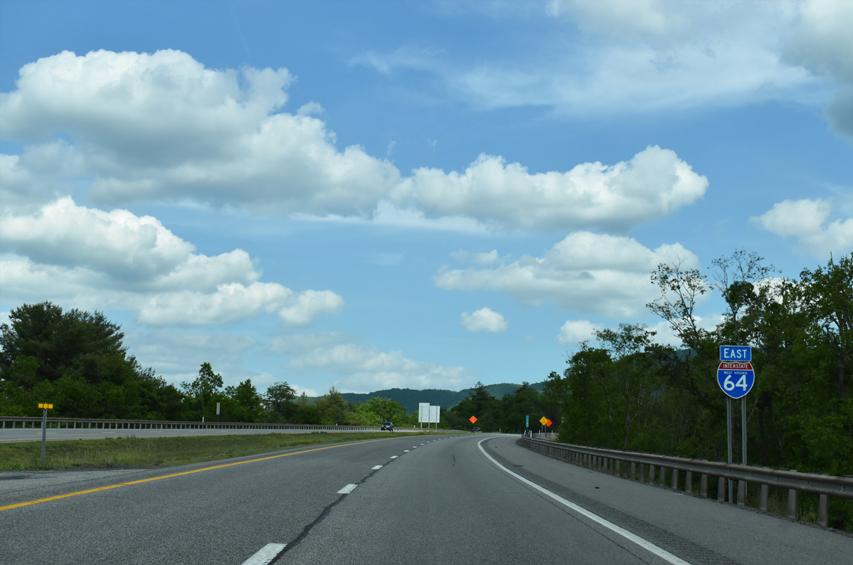
Reassurance marker for I-64 east posted as the freeway leaves the city of Lewisburg.
05/27/21
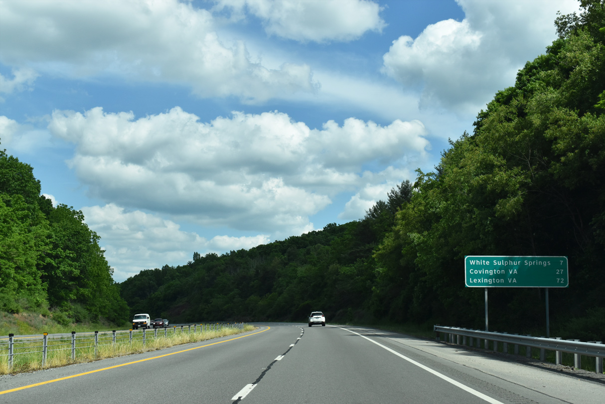
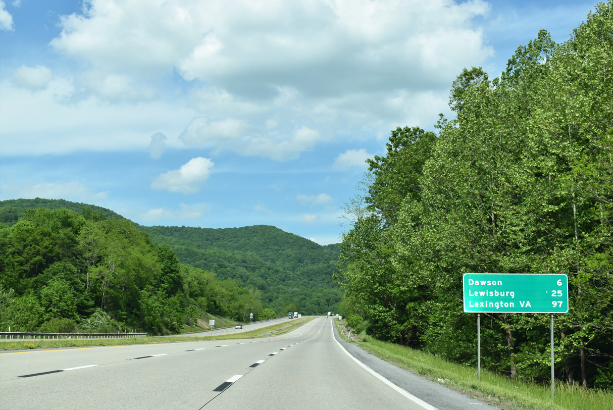
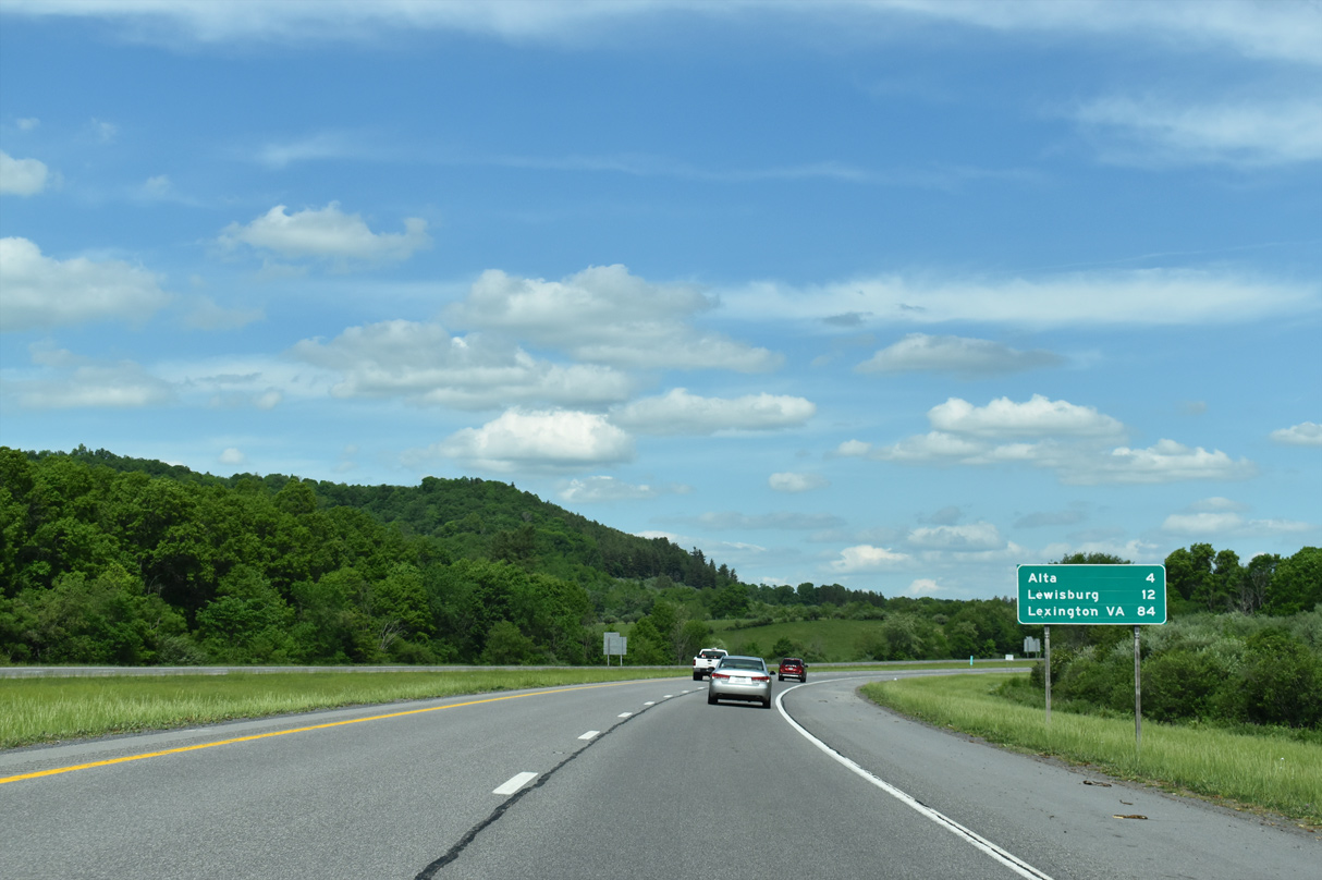
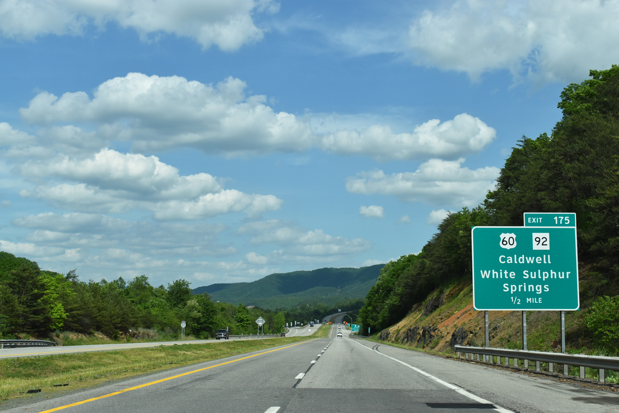
White Sulphur Springs lies seven miles ahead beyond Greenbrier Mountain. Covington and Lexington follow within the Old Dominion along parallel U.S. 60.
05/27/21
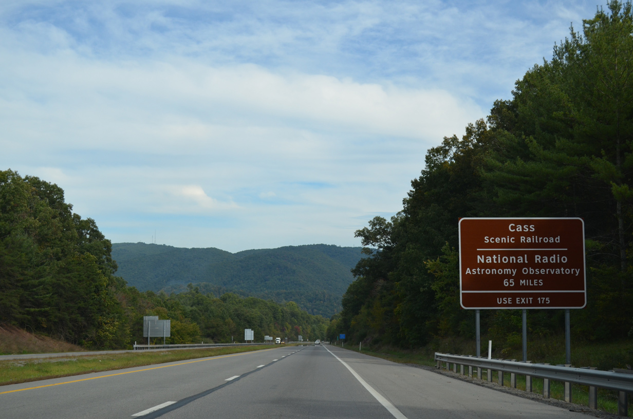
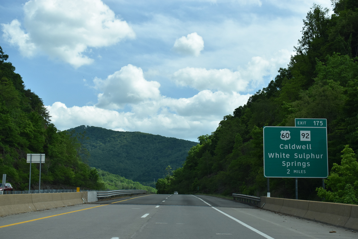
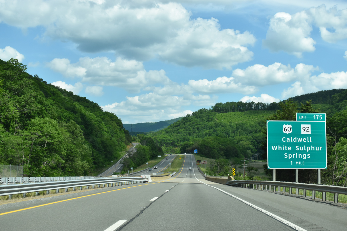
Exit 175 provides a route to U.S. 60 leading east into White Sulphur Springs and the Cass Scenic Railroad. Long distance interests to the National Radio Astronomy Observatory at Green Bank are directed onto U.S. 60 east for WV 92 north.
09/23/14
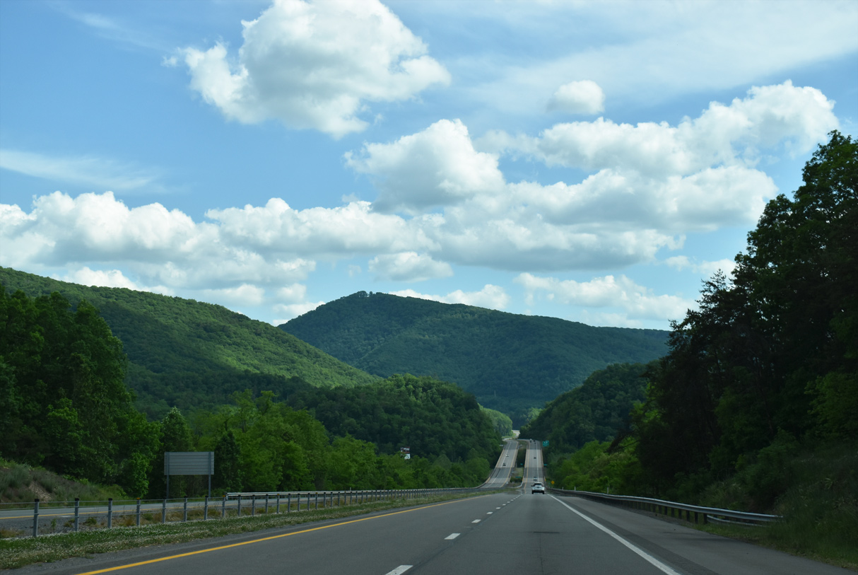
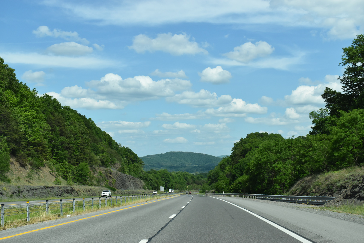
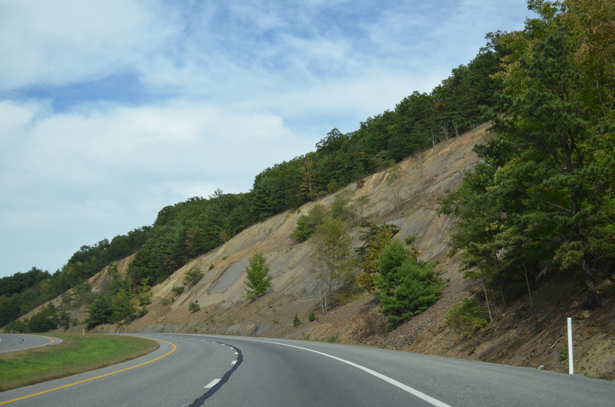
Angling southeast, Interstate 64 approaches the Greenbrier River with White Rock Mountain overlooking from the south.
05/27/21
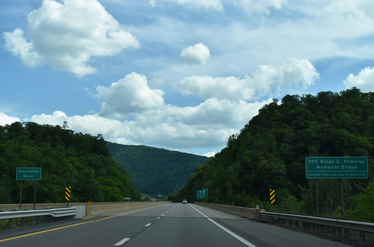
I-64 spans the Greenbrier River across the PFC Ralph E. Pomeroy, Korean War Congressional Medal of Honor Recipient, Memorial Bridge. PFC Pomeroy, born in Quinwood, WV was a machine gunner who died during combat while defending his position against a surprise attack during the Korean War. He was awarded the Congressional Medal of Honor posthumously for his leadership and valor.
05/27/21
Curving back to the east alongside Howard Creek, drivers along I-64 east next meet a diamond interchange (Exit 175) with County Route 60/14 (Harts Run Road).
05/27/21
Traversing an S-curve between White Rock and Greenbrier Mountains along Interstate 64 east.
09/23/14
Parallel U.S. 60 (Midland Trail) comes into view on the one mile approach to Exit 175 with CR 60/14 (Harts Run Road). I-64 spans Howard Creek here.
05/27/21
05/27/21
Harts Run Road links I-64 with adjacent U.S. 60 as the US route continues east to the White Sulphur Springs business district. WV 92 begins a 162.3 mile route north to Reedsville beyond Downtown.
05/27/21
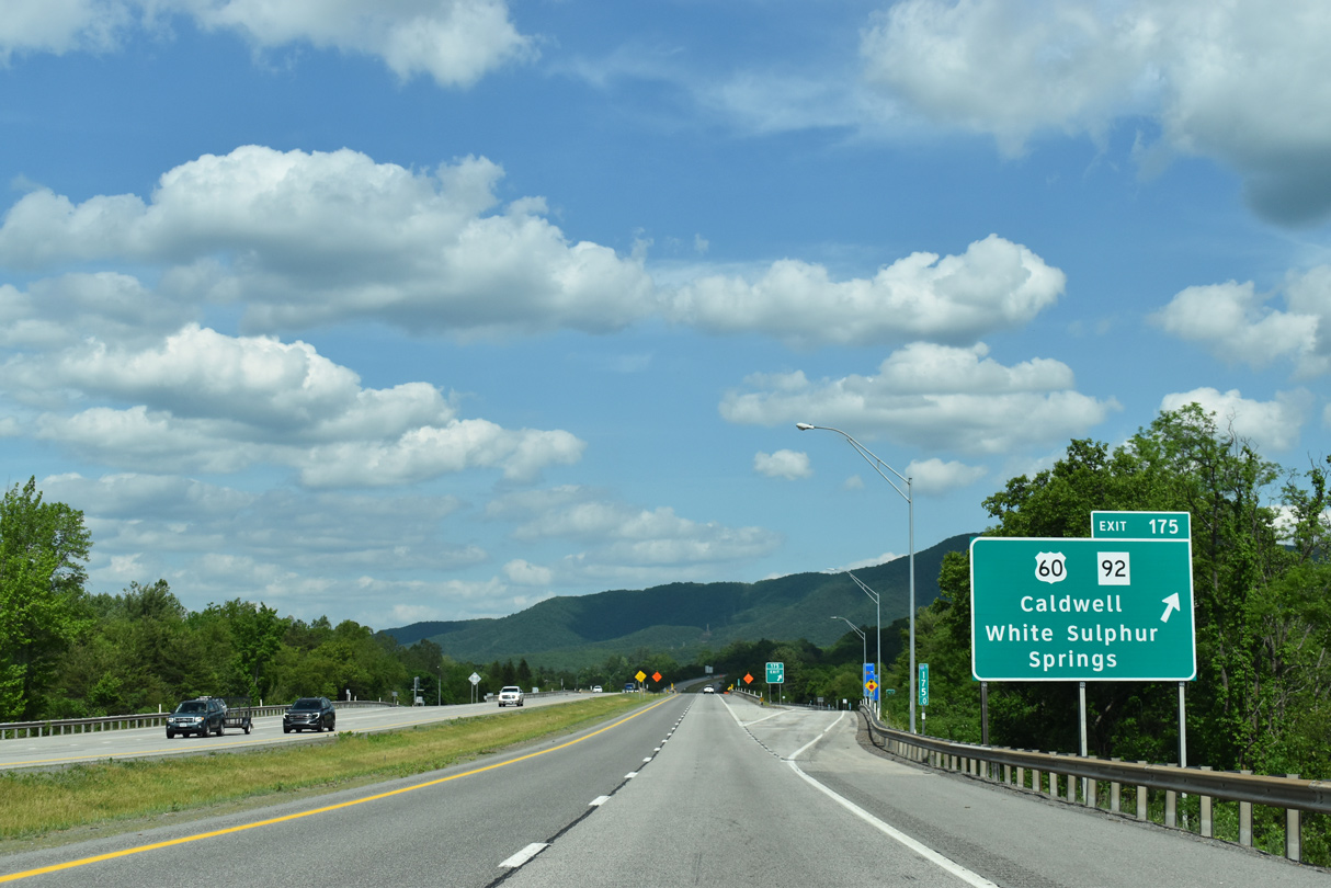
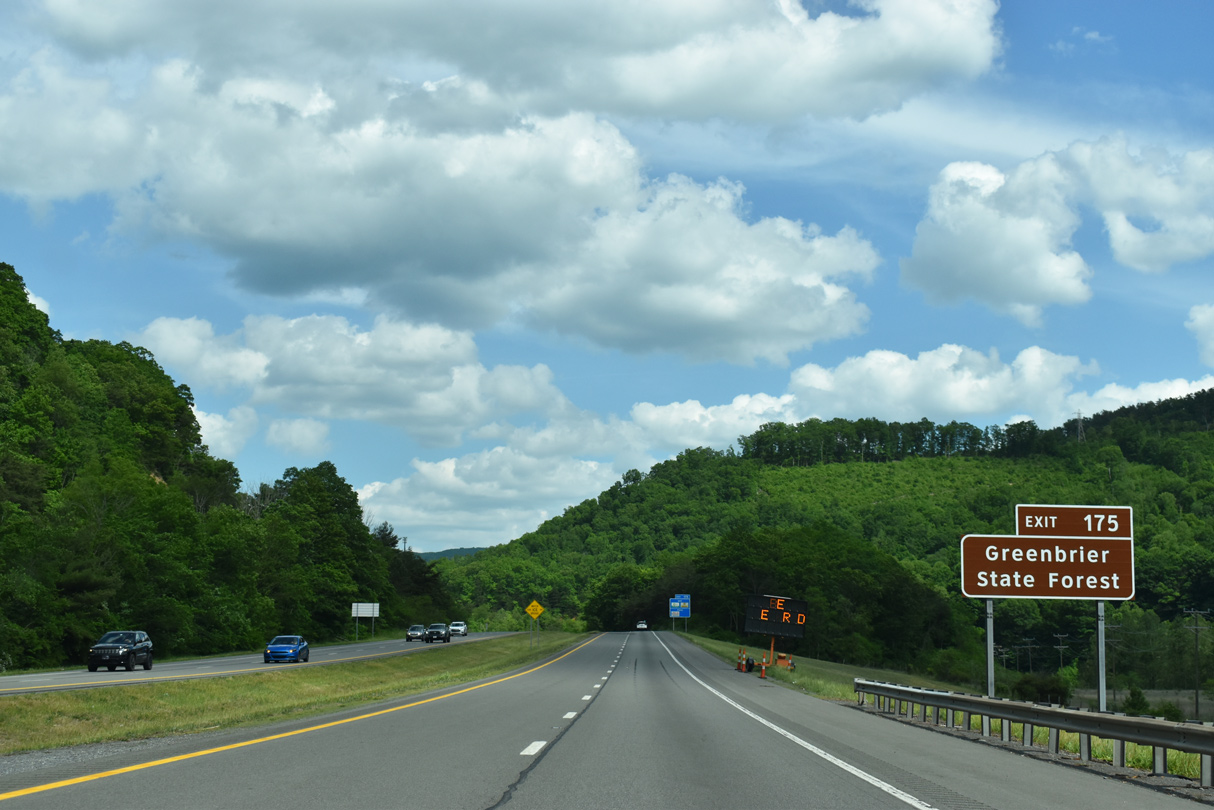
Exit 175 departs I-64 east for Harts Run Road (CR 60/14) south to Greenbrier State Forest, U.S. 60 west back to Caldwell and U.S. 60 east to WV 92 north to Elkins.
05/27/21
Interstate 64 crosses over a parallel CSX Railroad line beyond this shield assembly near Dickson.
05/27/21
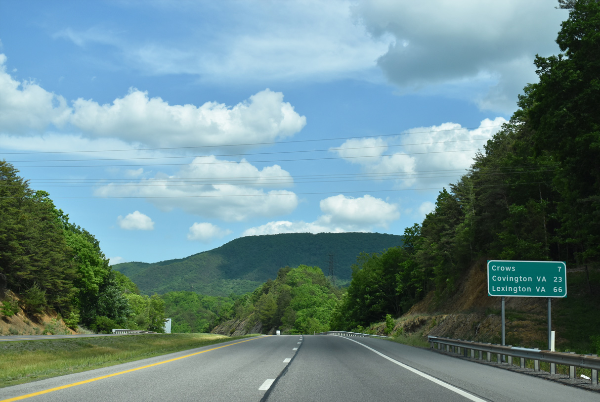
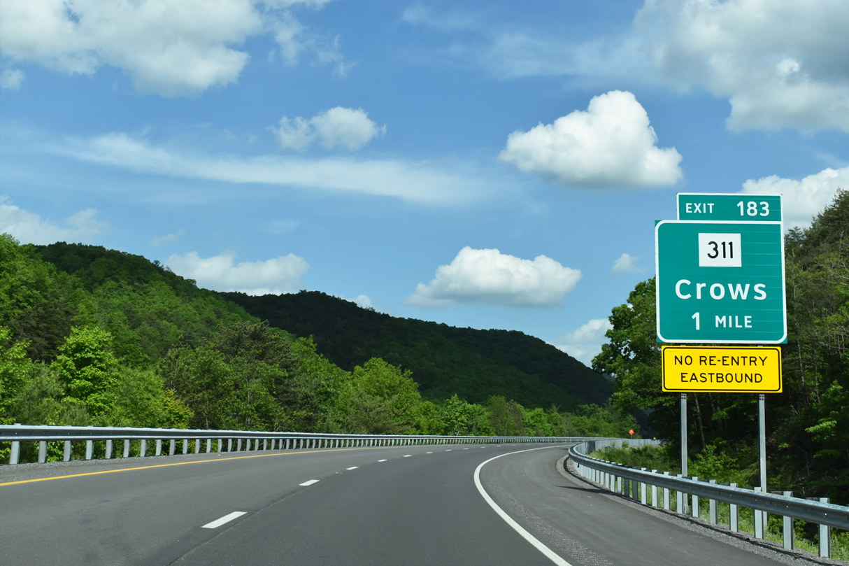
Crows, Virginia is the next destination city, accessible from the final West Virginia exit. The independent city of Covington is now 23 miles away.
05/27/21
The freeway hugs the northern slopes of Kates Mountain (el. 3,330 ft) as it bypasses most of White Sulphur Springs to the south.
09/23/14
Lowering into a valley fed by Dry Creek, I-64 crosses the CSX Railroad again as well as CR 50 (Mountain Avenue / Tuckahoe Road) by residential areas of White Sulphur Springs.
09/23/14
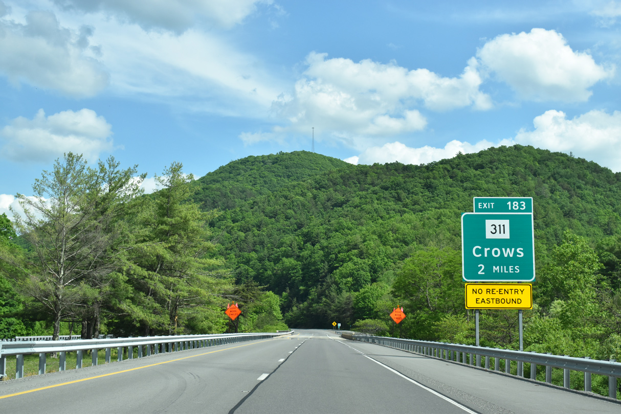
Veering southeast and leaving White Sulphur Springs, motorists along I-64 next meet the north of WV 311 in two miles.
05/27/21
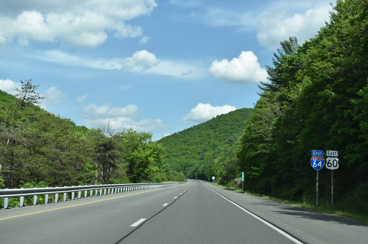
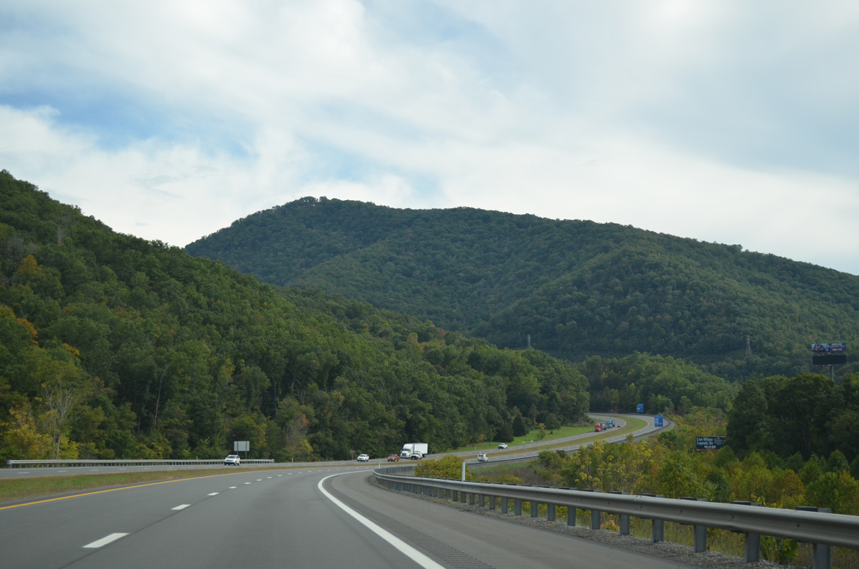
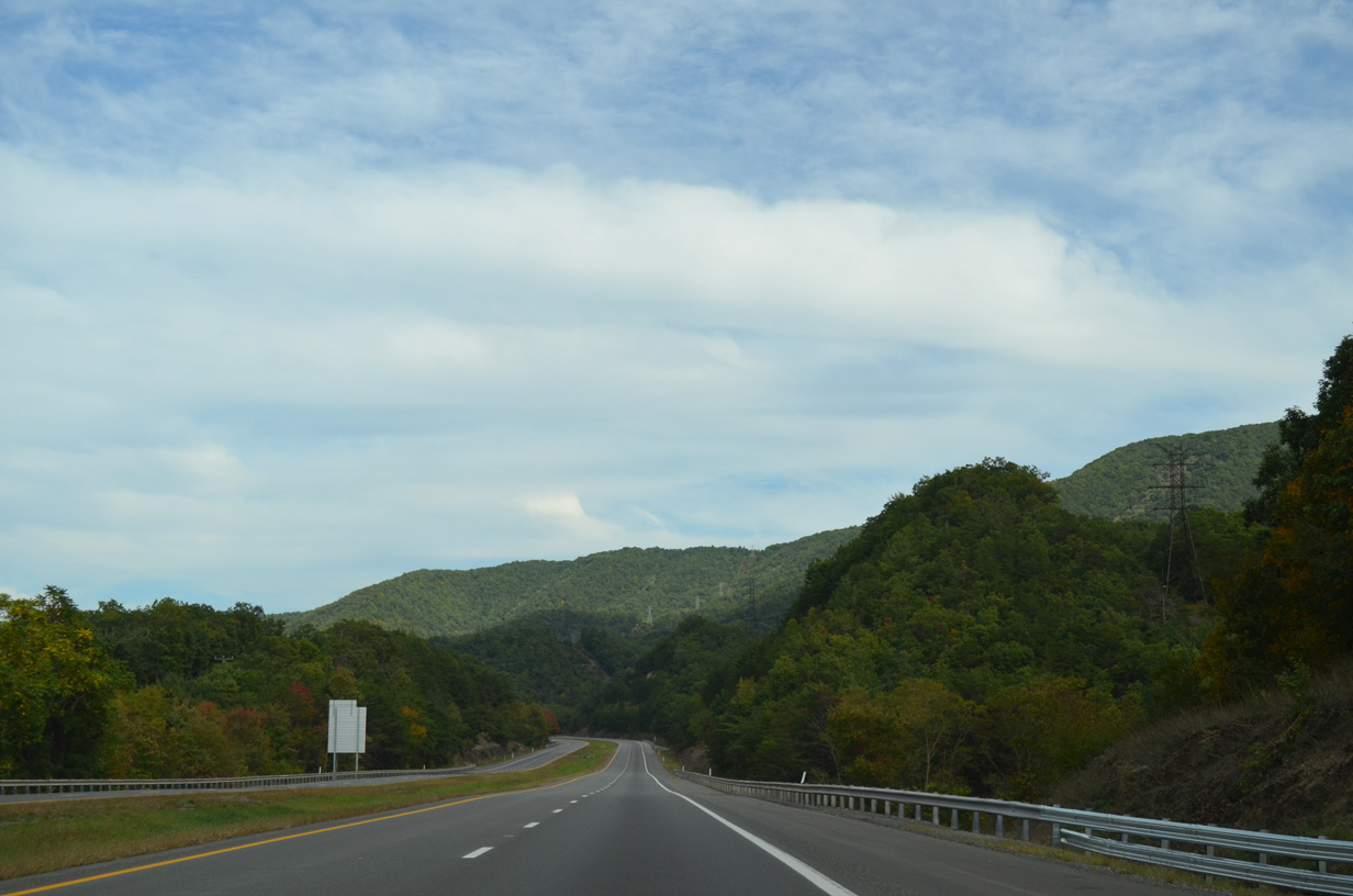
Interstate 64 overtakes the original alignment of U.S. 60 east between O'Neill Knob (el. 3,146 ft) and Brushy Mountain (el. 3,169 ft). The two run in tandem to Exit 10 in Virginia, though the original roadway of U.S. 60 emerges at Exit 7.
05/27/21
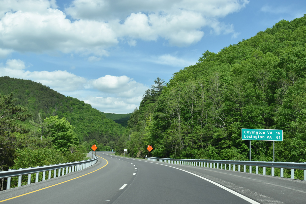
The final distance sign in West Virginia stands 16 miles west of Covington and 61 miles from Lexington, Virginia.
05/27/21
WV 311 forms a multi-state route with Virginia 311 winding 58.7 miles south to U.S. 11 in Salem.
05/27/21
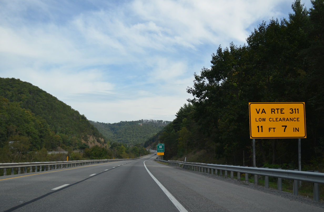
Travelers are advised of the low clearance associated with the CSX Railroad over crossing along Virginia 311 at Alleghany. The crossing consists of a 1932 built stone arch bridge for southbound and a tunnel for northbound.1
09/23/14
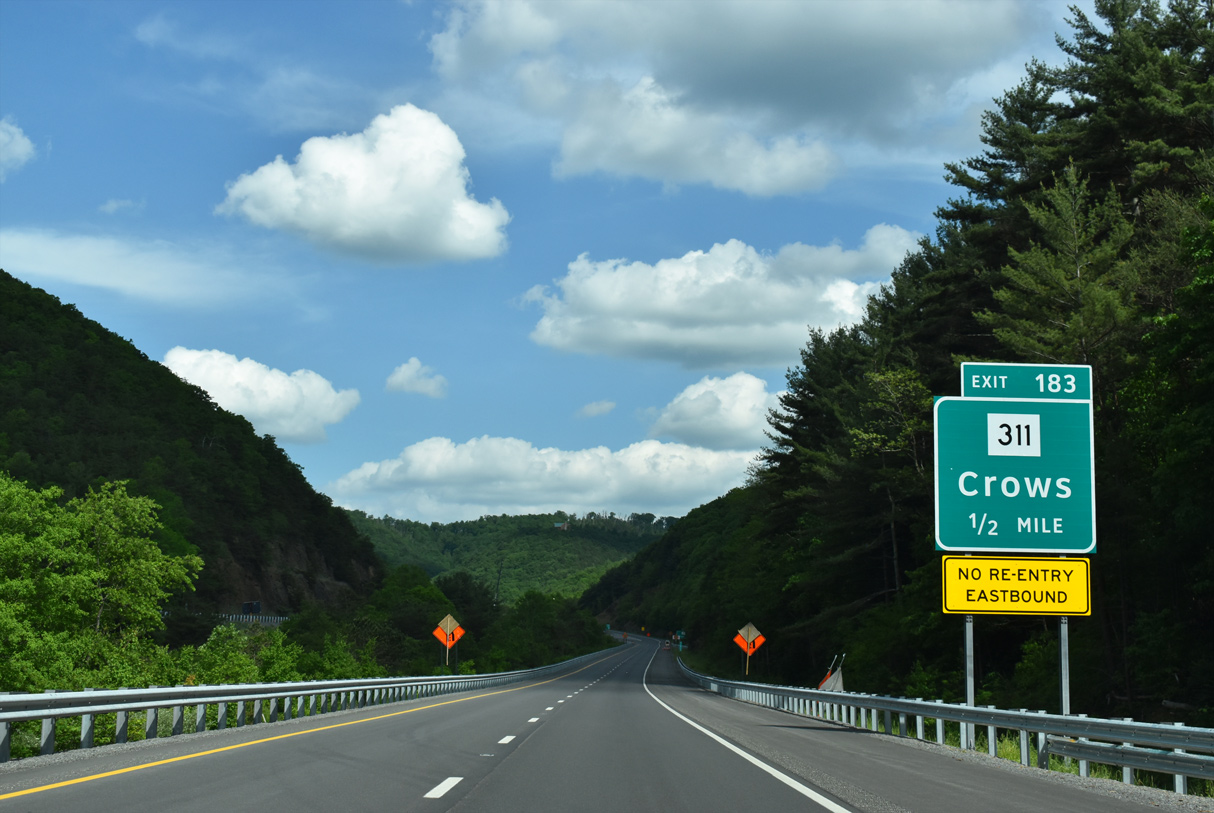
One half mile ahead of Exit 183 onto WV 311 south. The state route quickly transitions into SR 311 on the southward drive by Lewis Mountain (el, 2,907) to Crows and the south end of SR 159. SR 311 reenters West Virginia at Sweet Springs in 13 miles.
05/27/21
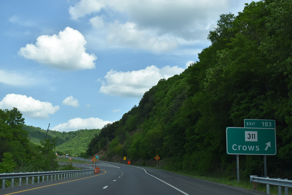
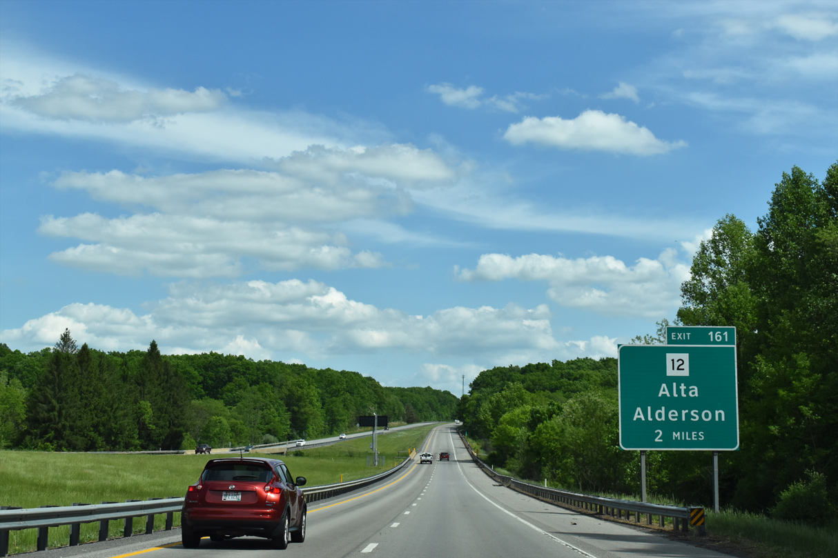
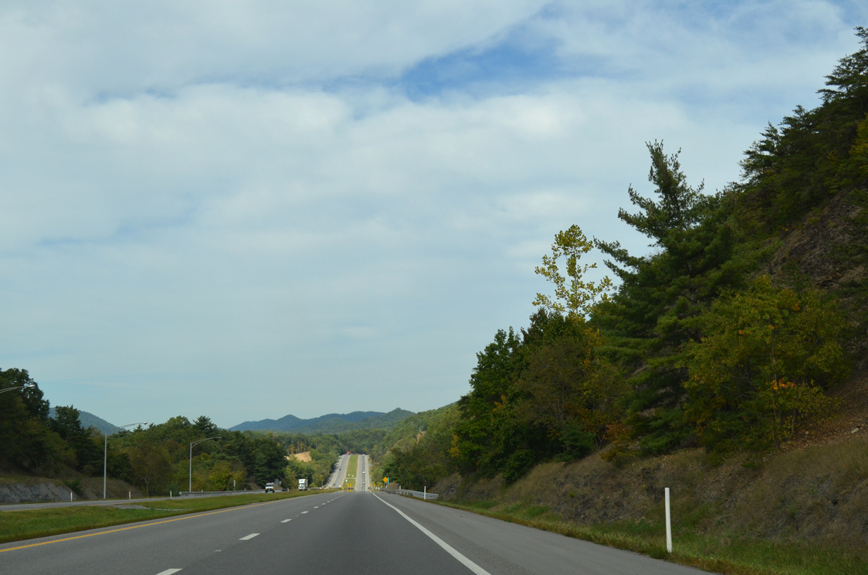
The wye interchange (Exit 183) with WV 311 south concludes an eight mile exit less stretch along Interstate 64 east.
05/27/21
The final state named shield posted along the eastbound mainline of Interstate 64.
05/27/21
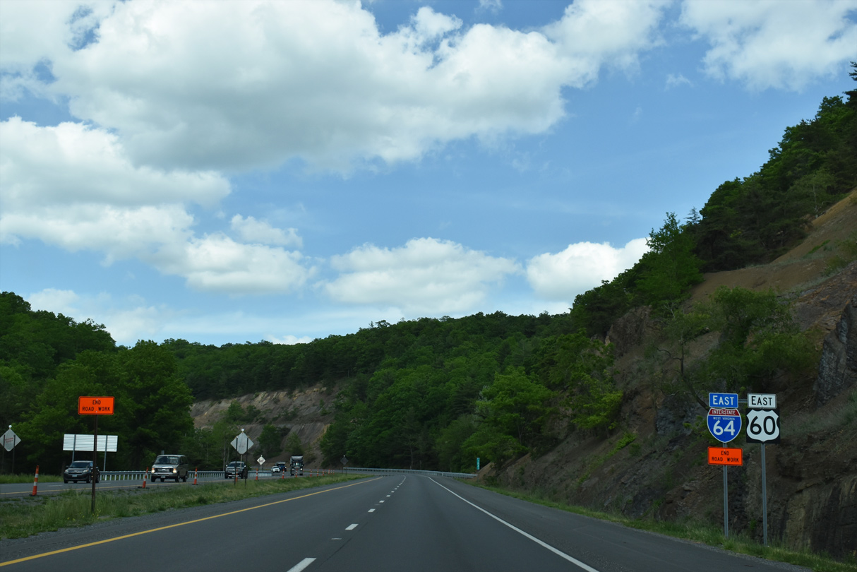
I-64/U.S. 60 east swing northward to cross the Virginia state line beside Batlick Mountain (el. 3,038 ft).
09/23/14
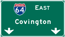
Photo Credits:
09/23/14, 05/27/21 by AARoads
Page Updated 09-06-2021.