|
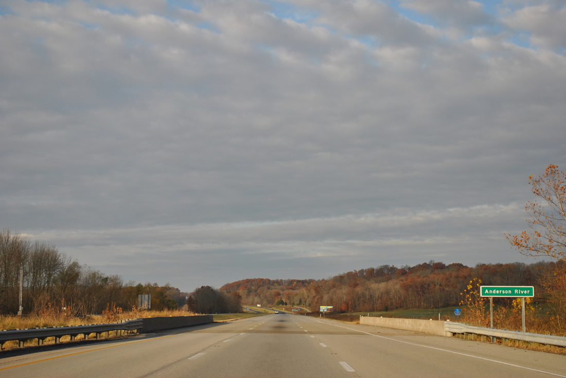
| Interstate 64 spans the main branch of the Anderson River amid a grassy plain west of SR 145. SR 62 again parallels the freeway closely on the south side. 11/07/11 |
|
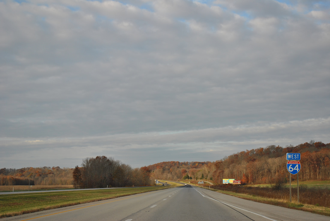
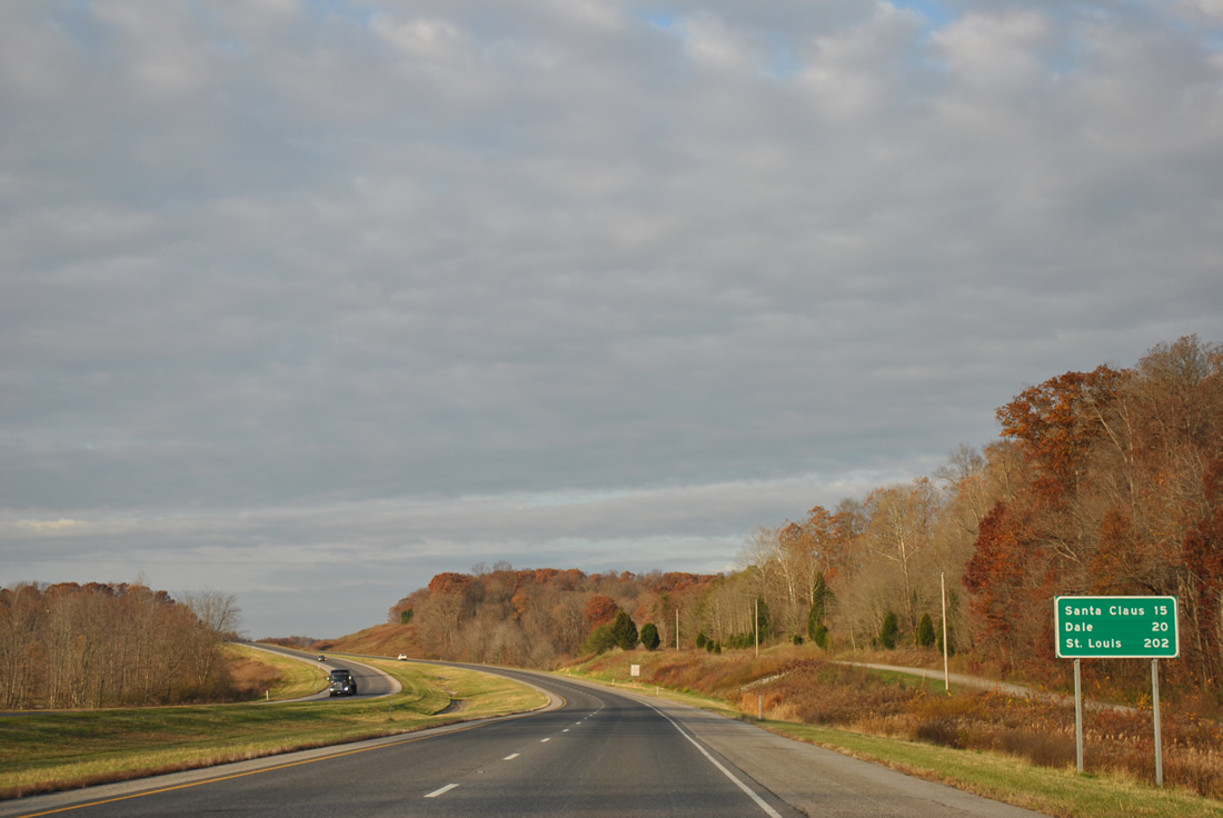
| The Spencer County towns of Santa Claus and Dale represent the next two interchanges of Interstate 64 westbound over the next 20 miles. 11/07/11 |
|
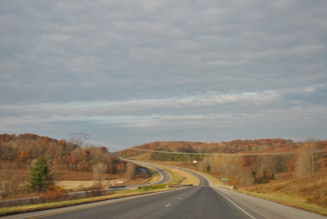
| A transmission line corridor passes over Interstate 64 near the West Siberia Road under crossing. 11/07/11 |
|
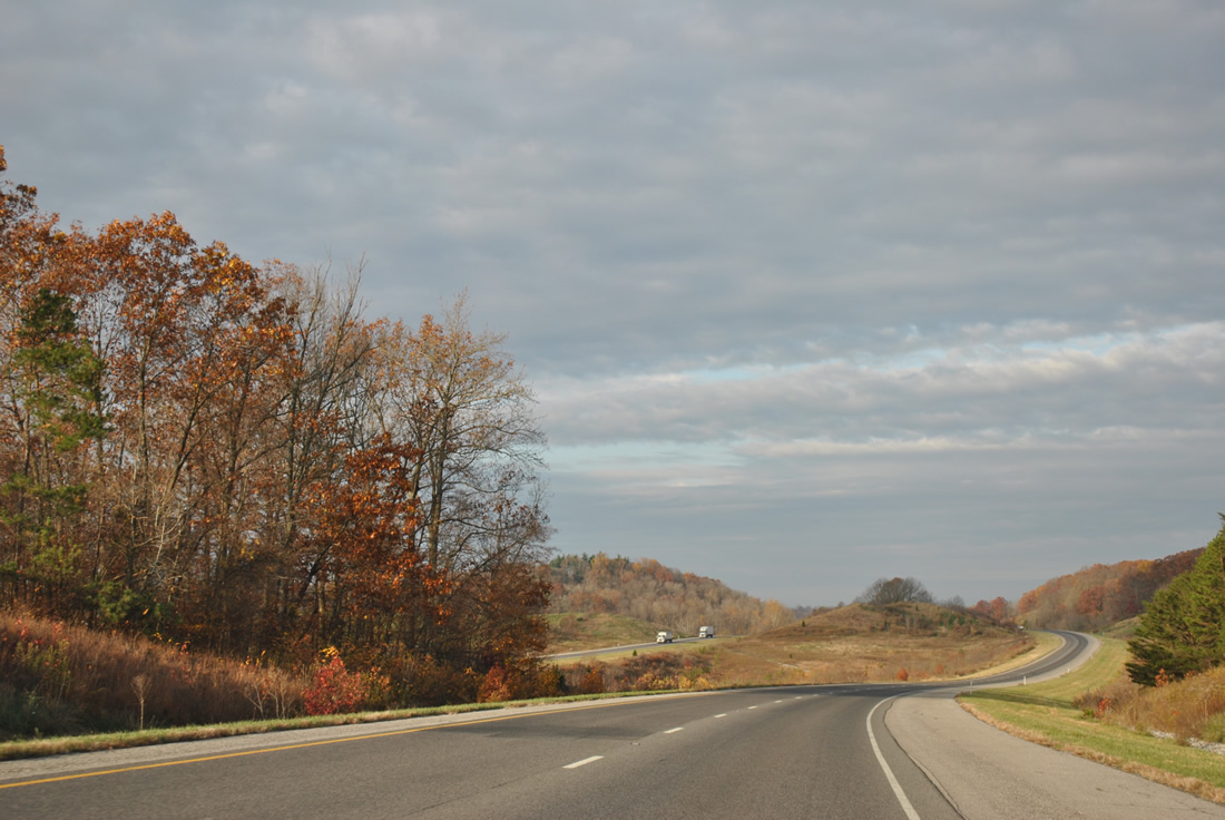
| Sweeping views and graceful curves set the tone of Interstate 64 travel as Hurricane Creek flows between the two roadways for a short distance. 11/07/11 |
|
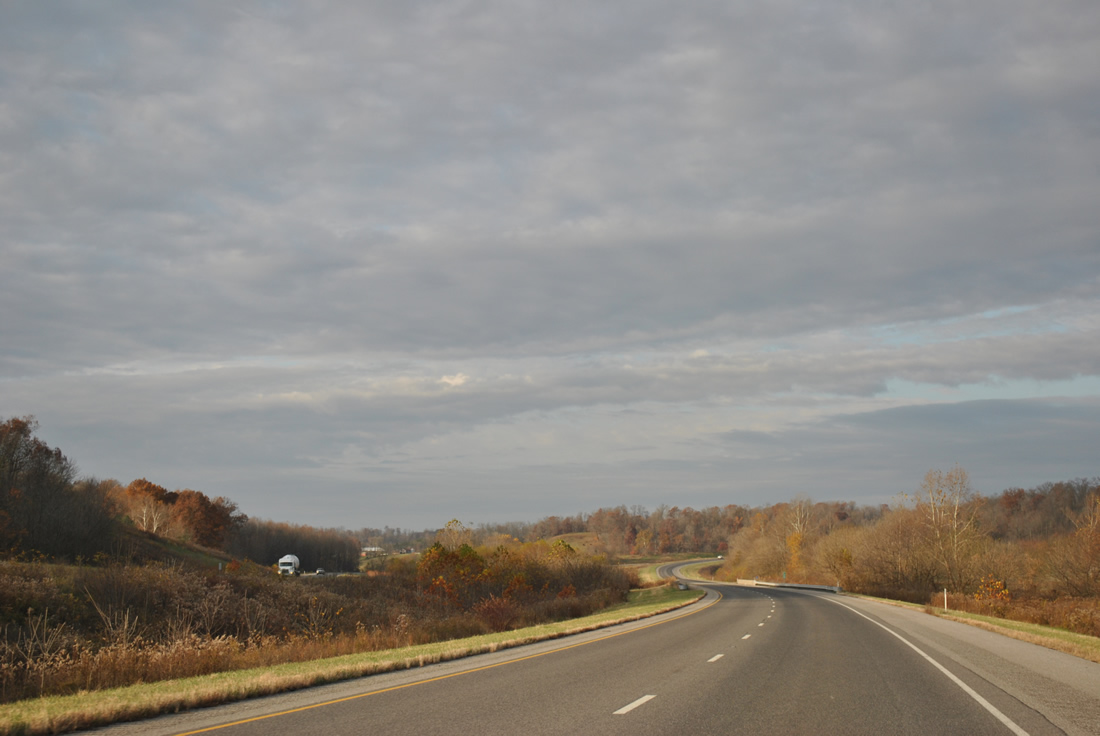
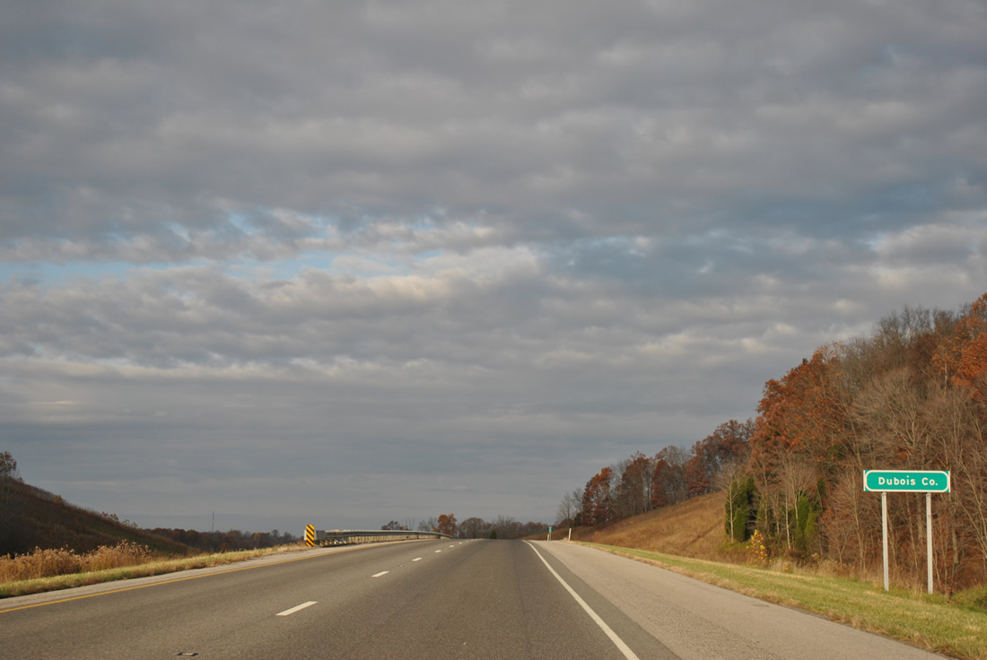
| Interstate 64 cuts the southeastern corner of Dubois County briefly. 11/07/11 |
|
| Friday Branch, Ferdinand Road, Ferdinand Run and Interstate 64 cross paths in Dubois County in this scene. The freeway dips into northern Spencer County ahead, but reemerges in Dubois County at Exit 68. 11/07/11 |
|
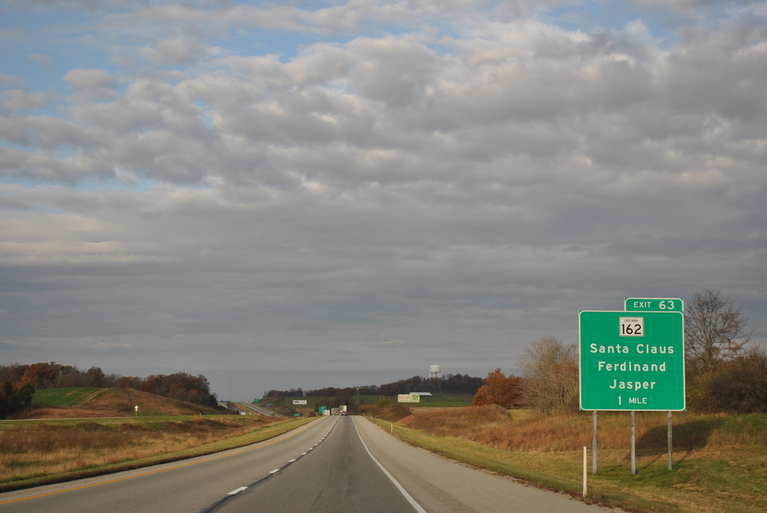
| Approaching the town of Ferdinand and Exit 63 diamond interchange with SR 162 along Interstate 64 west. 11/07/11 |
|
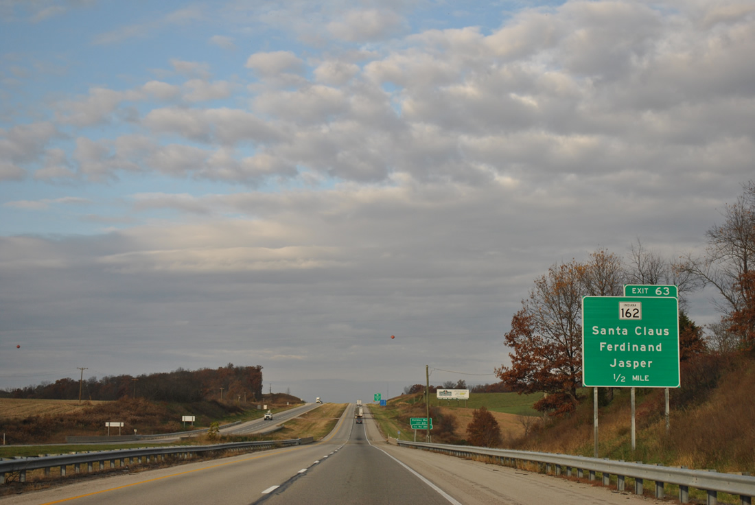
| SR 162 joins the Dubois County seat of Jasper with Ferdinand along a 28 mile arc south to Gentryville. 11/07/11 |
|
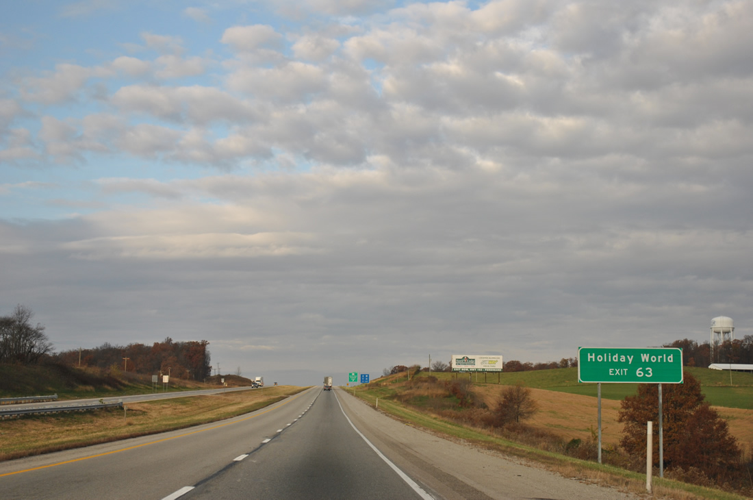
| Santa Claus is located seven miles to the south of Exit 63 along SR 245. Holiday World, a theme park including three wooden roller coasters and the Splashin' Safari water park, resides at the SR 162 overlap with SR 245. 11/07/11 |
|
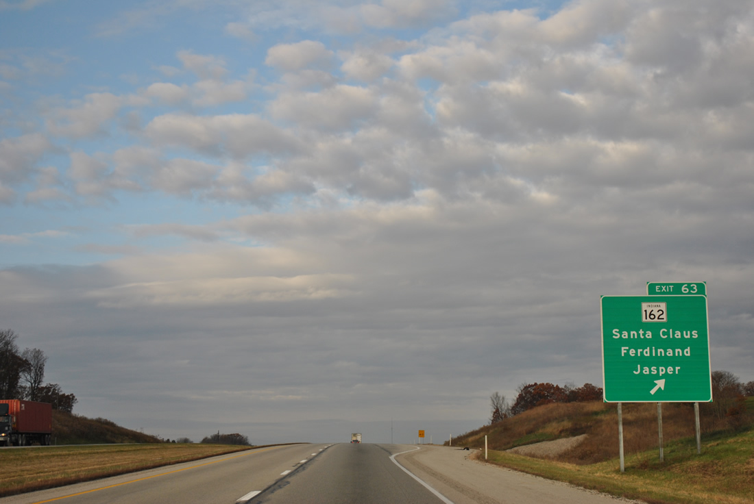
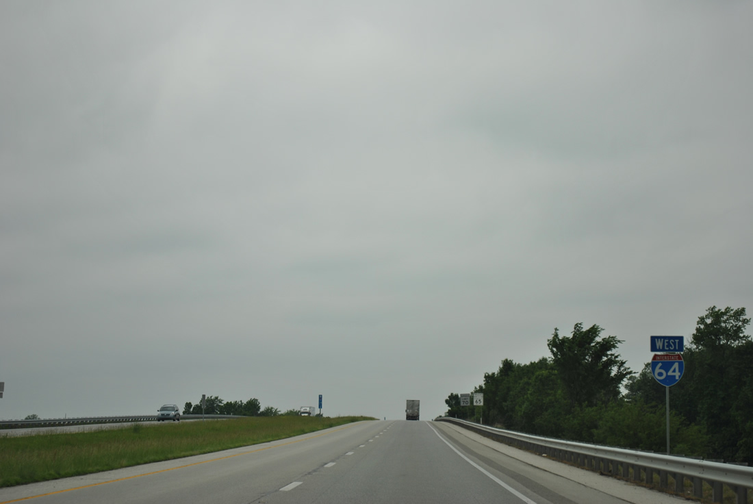
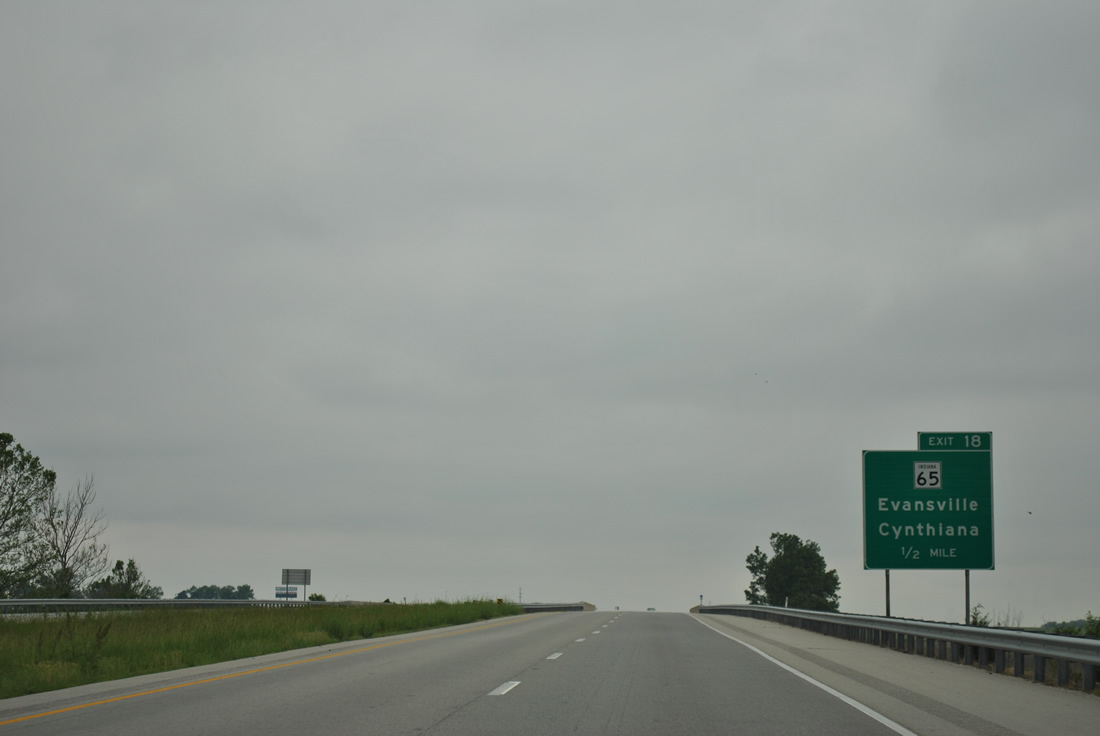
| Exit 63 parts ways with the Interstate 64 westbound mainline for SR 162 south to Santa Claus and north to Ferdinand and Jasper. 11/07/11 |
|
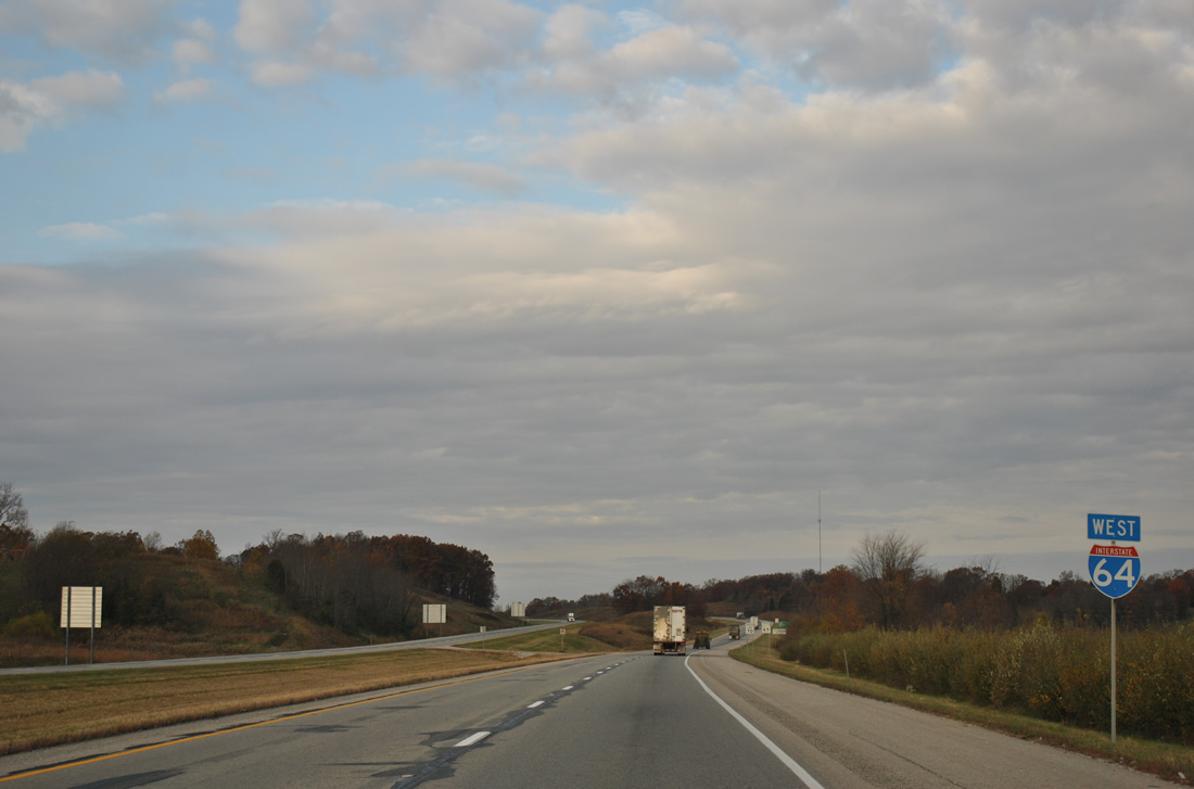
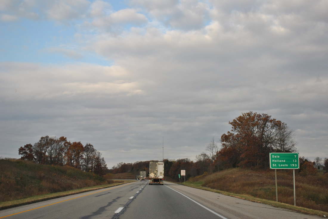
| St. Louis is now under 200 miles as Interstate 64 next approaches Dale and Holland. 11/07/11 |
|
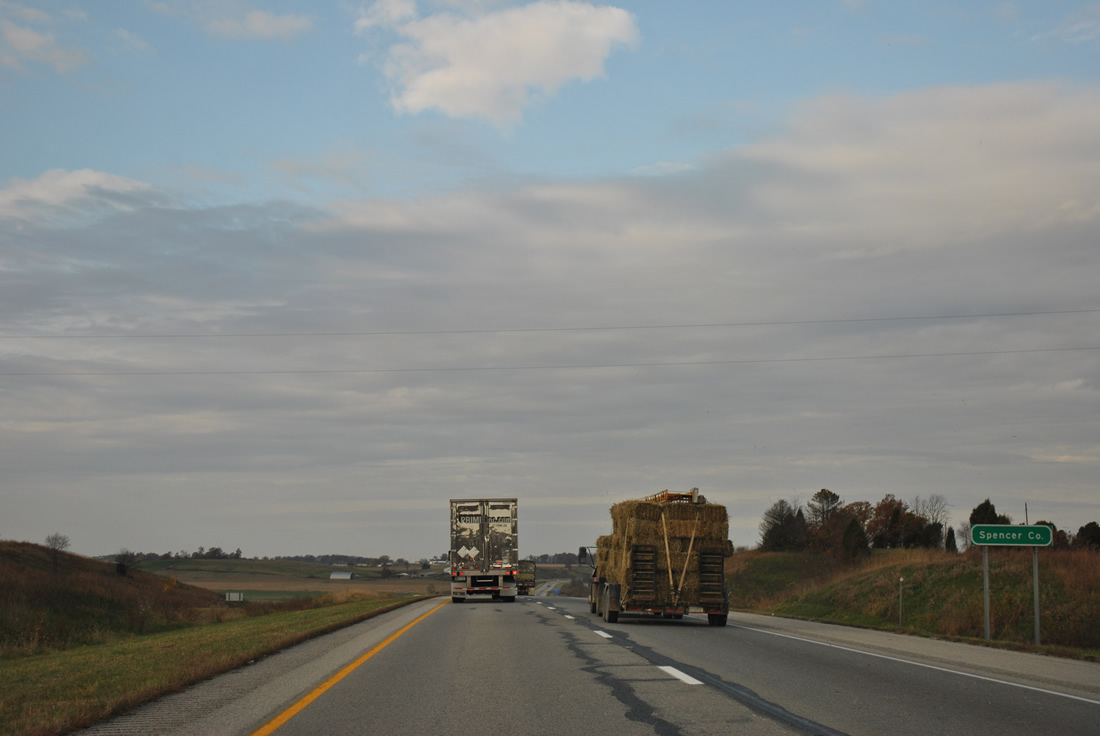
| Interstate 64 leaves Dubois County for good and stays within Spencer County to Exit 57. 11/07/11 |
|
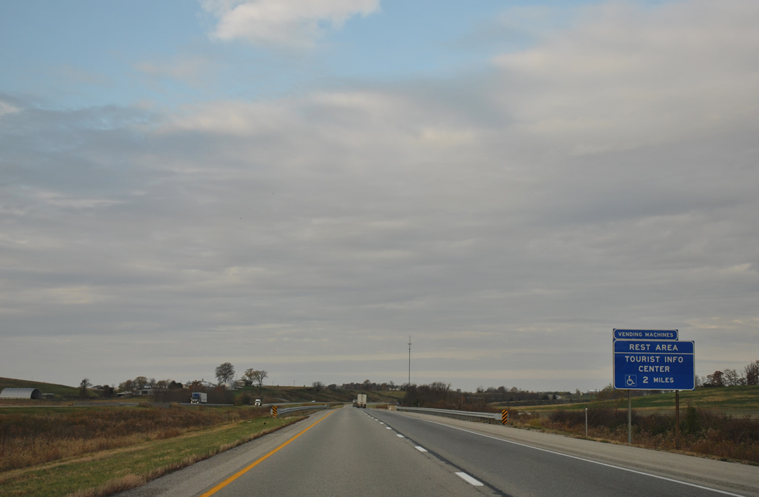
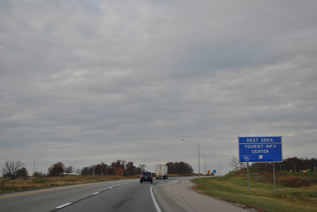
| The second westbound rest area also doubles as a tourist information center along Interstate 64 westbound near Johnsburg. 11/07/11 |
|
| Rest areas reside along both sides of Interstate 64 near U.S. 231. This is the final facility in Indiana for westbound travelers though. 11/07/11 |
|
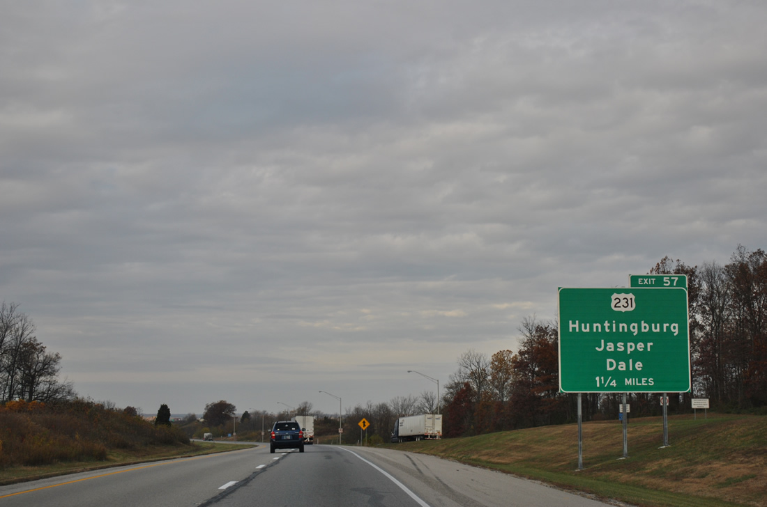
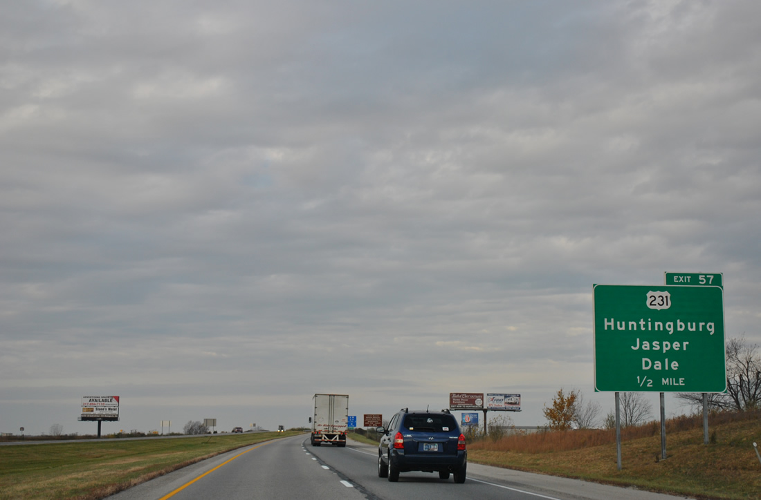
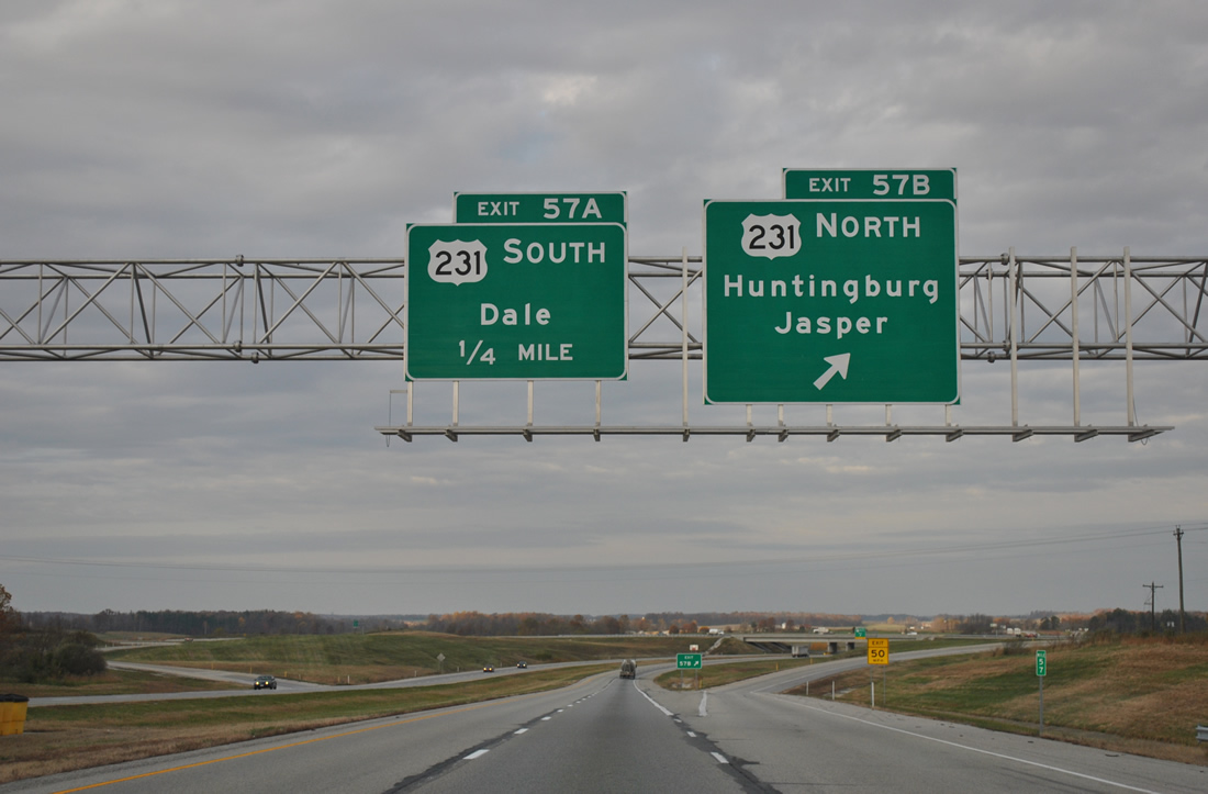
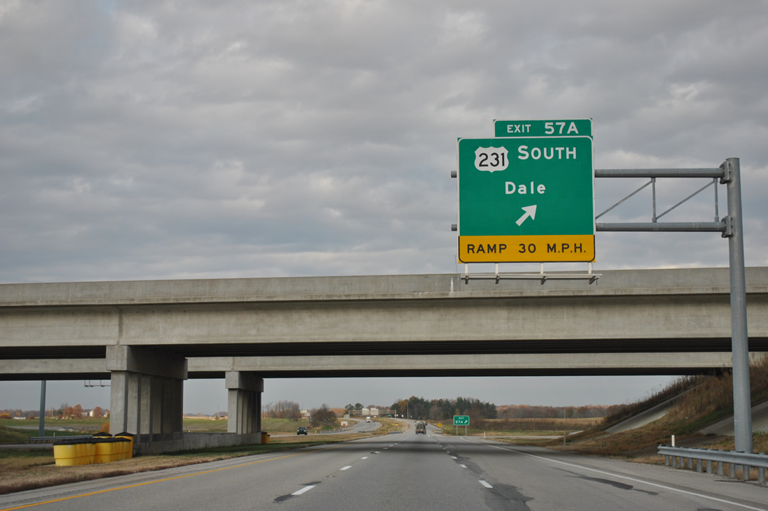
| U.S. 231, now a four lane divided highway in Spencer County, connects Interstate 64 with Dale to the south and Huntingburg at a six-ramp parclo interchange (Exits 57B/A). Construction of the US 231 expressway bypassing Gentryville and Chrisney was completed on March 15, 2011 as part of Governor Mitch Daniels' Major Moves initiative. 11/07/11 |
|
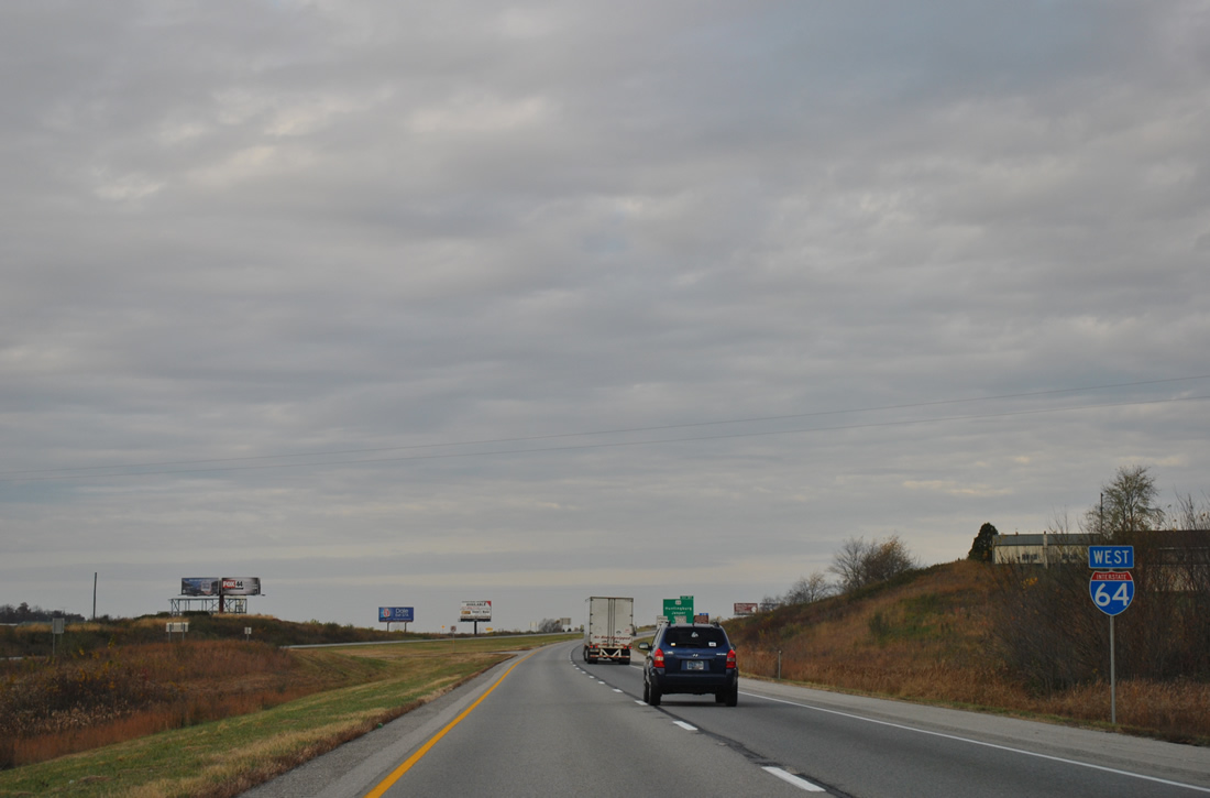
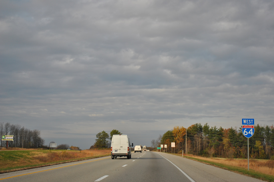
| A shield for Interstate 64 west follows the rest area on-ramp. The forthcoming interchange was originally just a diamond. 11/07/11 |
|
| U.S. 231 almost travels the height of Indiana, tallying 297 miles from the Ohio River near Rockport to St. John in Northwest Indiana. This is the longest signed route in Indiana at present. 11/07/11 |
|
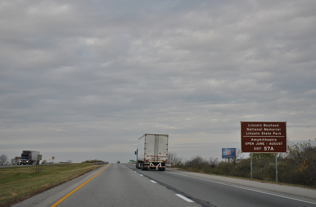
| Travelers bound for Lincoln Boyhood National Memorial or Lincoln State Park are directed to Exit 57A for U.S. 231 south to SR 162 near Lincoln City. 11/07/11 |
|
| Four-laning of U.S. 231 ends just north of the Spencer / Dubois County line. U.S. 231 continues 9.5 miles from Exit 57A to Huntingburg and 15.2 miles to Jasper. Dubois area leaders, including the 2011-formed Interstate 67 Development Corp. have worked on an idea to upgrade the U.S. 231 corridor through the county as part of a freeway connecting with new Interstate 69 at Washington. They have dubbed the corridor "Interstate 67", though Major Moves money was not allocated for further upgrading of the US Route.1 11/07/11 |
|
| Exit 57B follows onto U.S. 231 south to Dale and the William H. Natcher Bridge to Maceo, Kentucky. 11/07/11 |
|
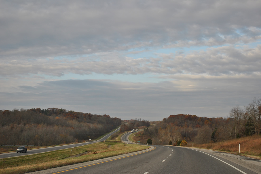
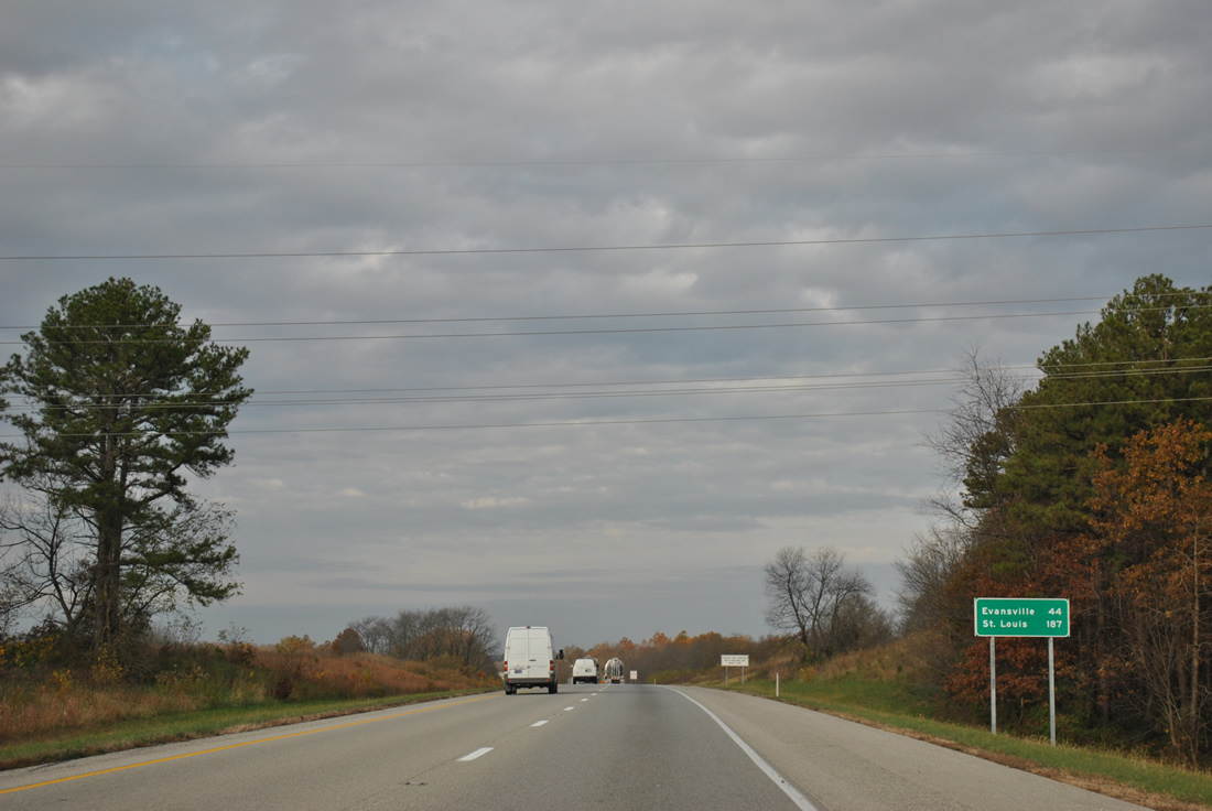
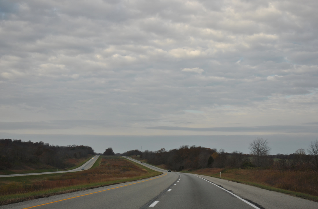
| A relatively flat stretch of Interstate 64 continues the drive west to Exit 54. Evansville is now 44 miles away while St. Louis is still around a three hours' drive. 11/07/11 |
|
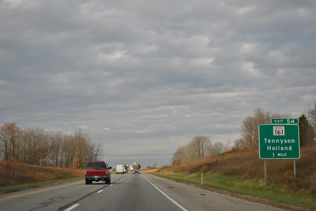
| Next in line for westbound drivers is the Exit 54 diamond interchange with SR 161. 11/07/11 |
|
| A lengthy stretch begins in Warrick County on the half mile approach to SR 161. 11/07/11 |
|
| SR 161 follows a stair-step orientated route 38.3 miles from the Ohio River at Owensboro, Kentucky to SR 64, west of Huntingburg. 11/07/11 |
|
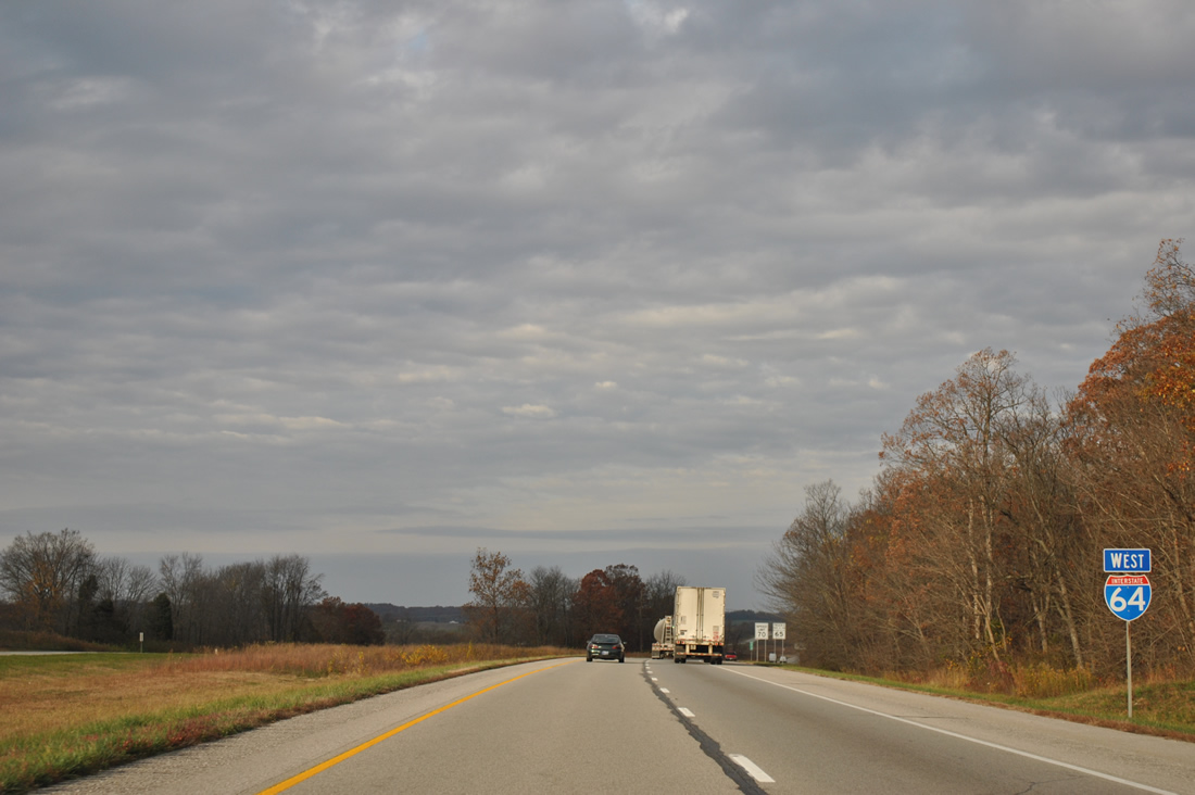
| Exit 53 connects Interstate 64 with Holland to the north and Tennyson beyond the split with SR 68. SR 68 replaces SR 62 as the companion of I-64 west to Poseyville. 11/07/11 |
|
| Roadways of Interstate 64 again diverge as the freeway sinks toward a crossing of Sugar Creek. 11/07/11 |
|
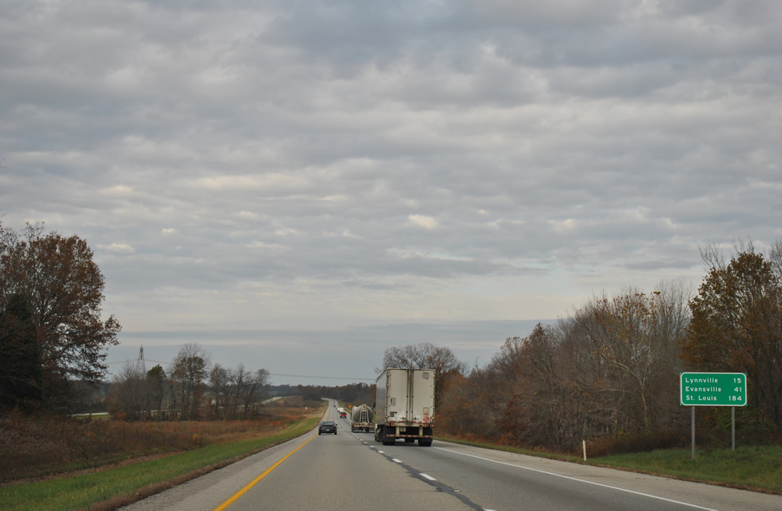
| Lynnville is the second and final interchange in Warrick County at 15 miles. Interstate 164 and the Evansville area follow. 11/07/11 |
|
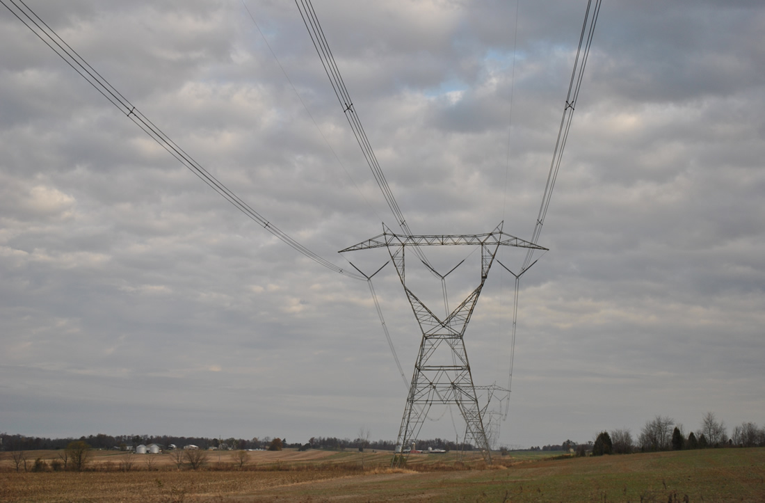
| There is not much variation to the landscape through northern Warrick County on Interstate 64. A set of transmission lines breaks the monotony as they cross paths with the freeway near Sugar Creek, emanating at the Rockport Generating Station by U.S. 231 and the Ohio River. 11/07/11 |
|
| SR 68/161 switch sides with Interstate 64 before separating. SR 68 remains along the north side of the freeway through the village of Selvin near this scene. 11/07/11 |
|
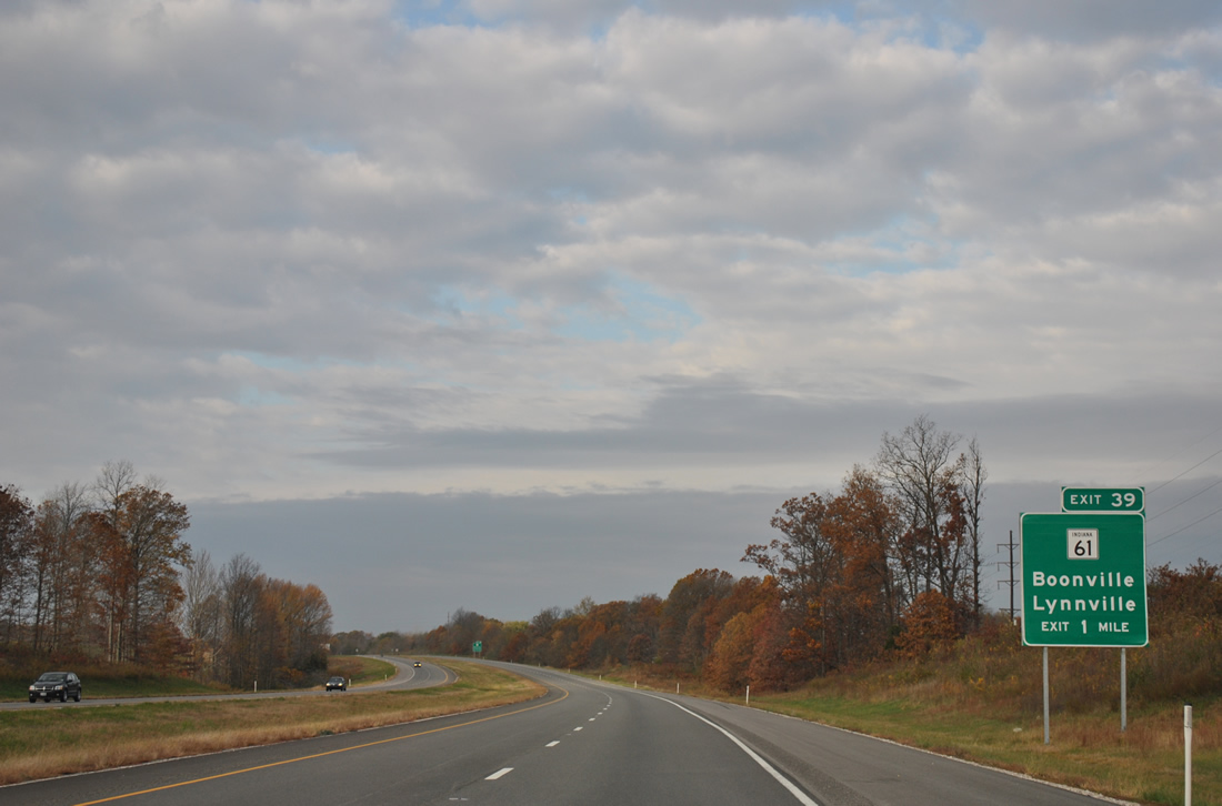
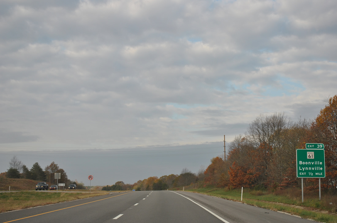
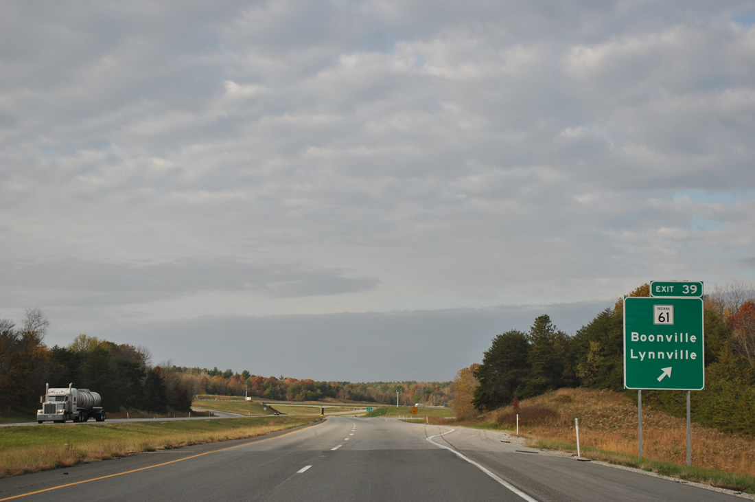
| The diamond interchange at Exit 39 links Interstate 64 west with SR 61 and Lynnville. 11/07/11 |
|
| A 64.4 mile route, SR 61 links the Warren County seat of Boonville with Pike County's seat of Petersburg. The state road overall ends at Vincennes to the north and SR 66 near Dayville and the Ohio River to the south. 11/07/11 |
|
| SR 61 travels by a number of strip mines leading south from Lynnville to Boonville. A bypass of Boonville is planned for the west side of town to join the state road with SR 62 leading west to Chandler and Evansville. 11/07/11 |
|
| Interstate 64 and adjacent SR 68 continue west between another series of strip mines. 11/07/11 |
|
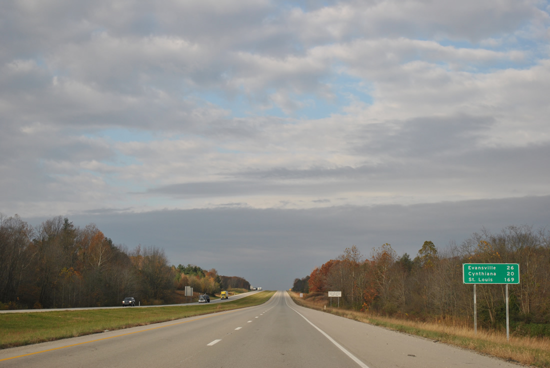
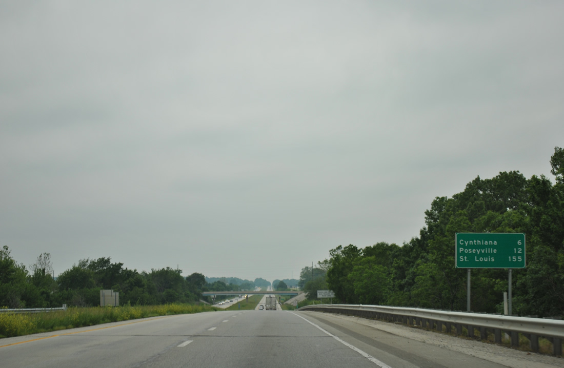
| Cynthiana is the next town along Interstate 64, situated 20 miles to the west in northeast Posey County. Much of the ride to St. Louis is rural, outside of Mt. Vernon, Illinois and the confluence with Interstate 57. 11/07/11 |
|
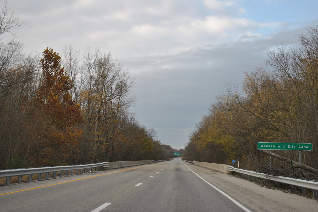
| A long straight away brings motorists to a crossing of the Wabash and Erie Canal (Pigeon Creek) near Elberfield. 11/07/11 |
|
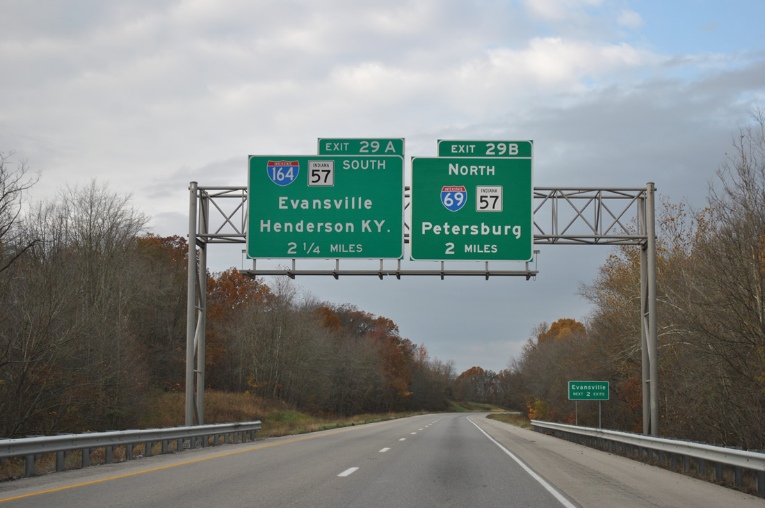
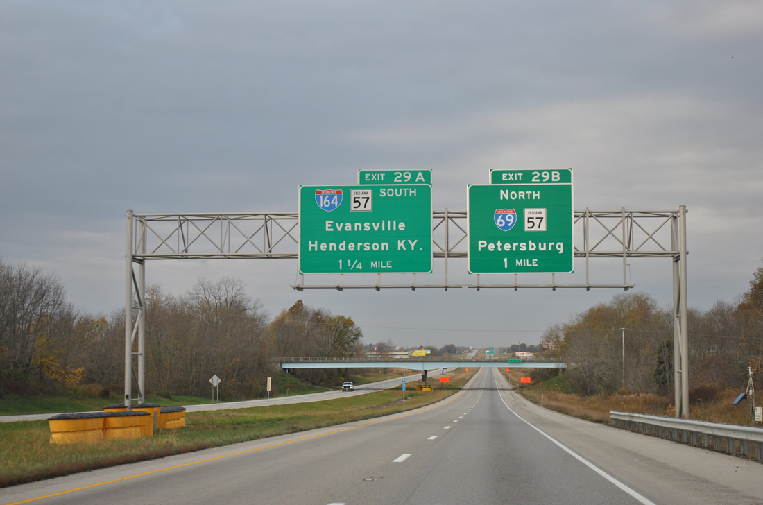
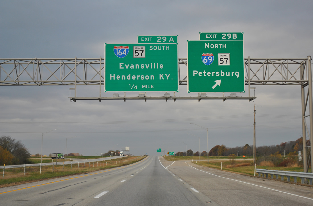
| A cloverleaf interchange joins the north end of Interstate 164 (Exit 29A), the 21.24 mile spur to Evansville, and the 1.77 mile spur of Interstate 69 to SR 68 (Exit 29B). 11/07/11 |
|
| One mile east of the Exit 29B off-ramp to SR 57 north to Mackey, Somerville and Petersburg. Interstate 69 was first posted at Exit 29 on October 1, 2009 when the stretch of freeway opened between I-64 and Wheatonville. 11/07/11 |
|
| Exit 29B leaves Interstate 64 west for I-69/SR 57 north. Work on Interstate 69 continues from SR 68 to SR 64 near Oakland City (Section 2) and SR 64 to Crane Naval Surface Warfare Center (Section 3) with a planned December 2012 completion. Interstate 69 south will share pavement with Interstate 164 to the point near Exit 3 in Evansville. 11/07/11 |
|
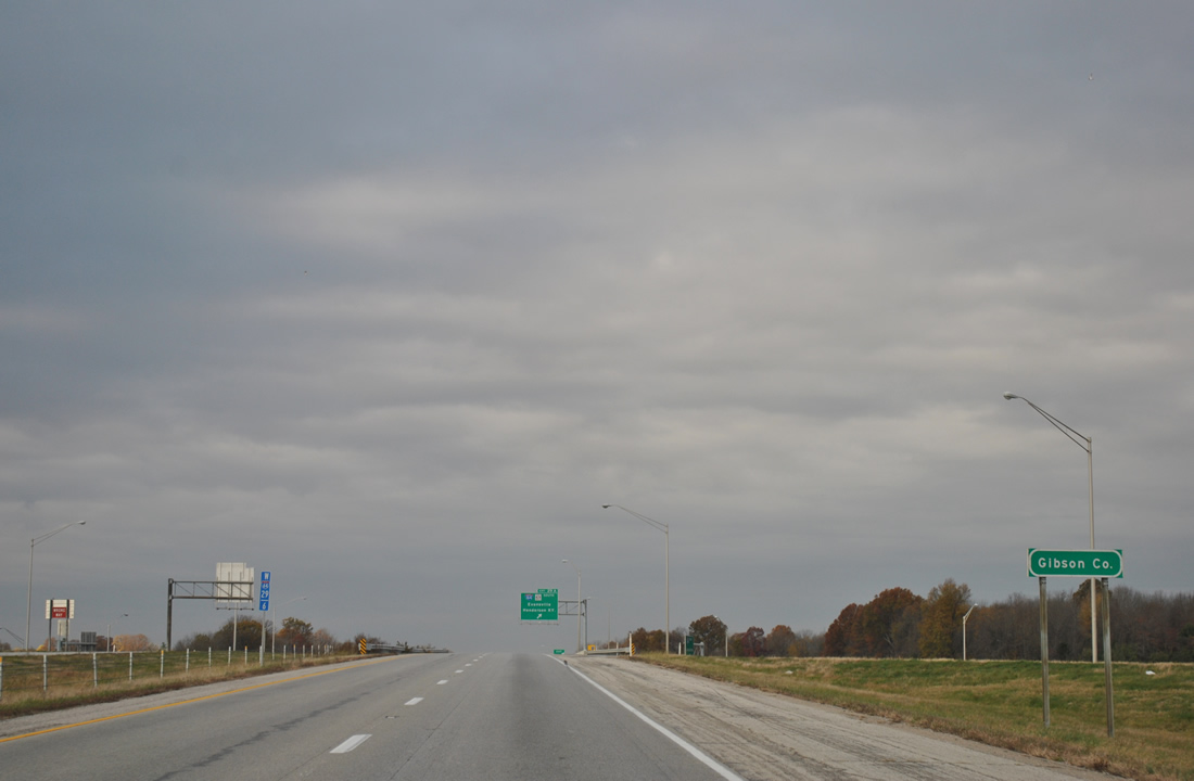
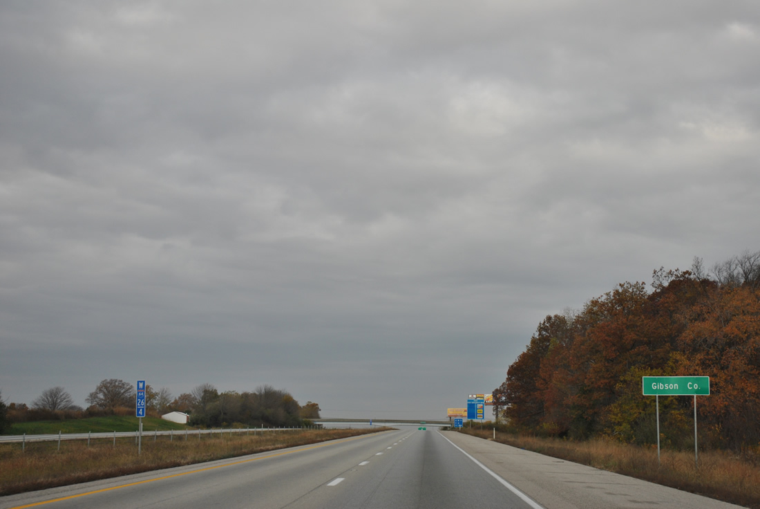
| Motorists enter the southeast corner of Gibson County beyond the Exit 29A gore point. 11/07/11 |
|
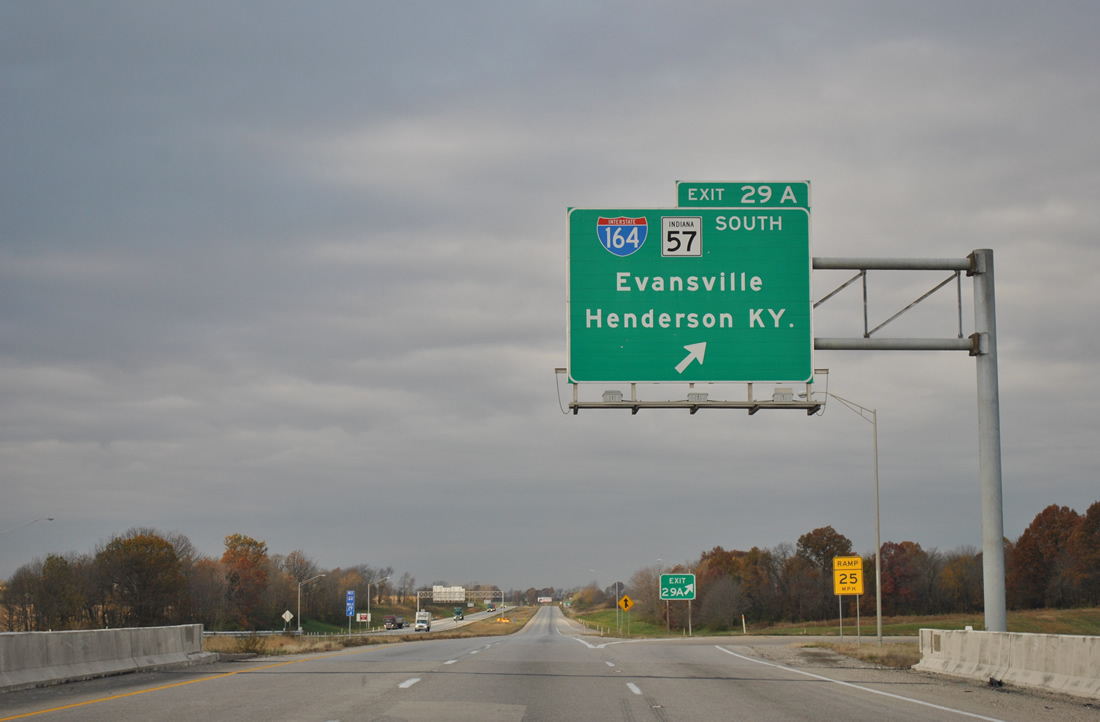
| Exit 29A constitutes the southbound beginning of Interstate 164. Completed on August 2, 1990, Interstate 164 joins Evansville with Interstate 64 via SR 62 (Morgan Avenue), the Lloyd Expressway (SR 66) and U.S. 41 north. SR 57, and its diamond interchange with I-64, was built over by the freeway, leading to an overlap with I-164 south to Exit 19. 11/07/11 |
|
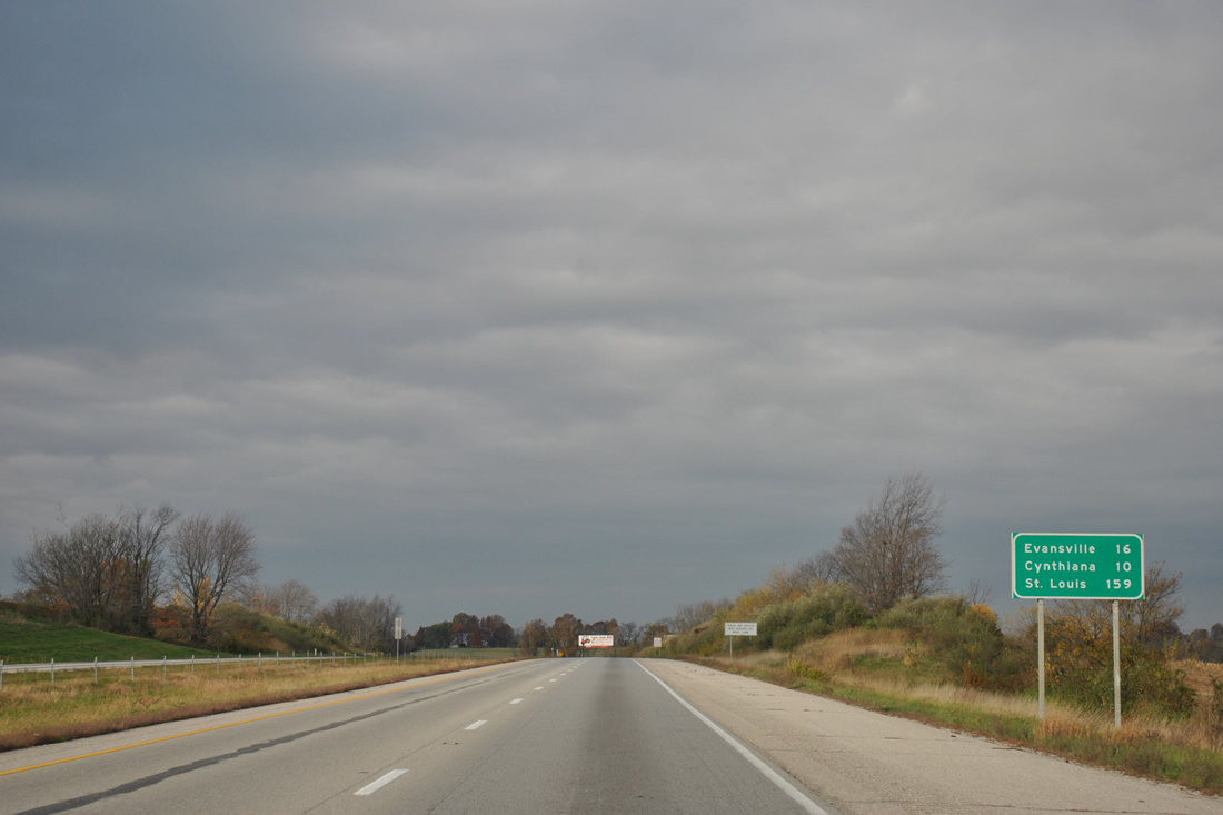
| Leaving the confluence of Interstates 69-164 and SR 57, Evansville, reached via U.S. 41, is 16 miles away. Cynthiana, located in northeastern Posey County is ten miles away and the ultimate control city of St. Louis, Missouri is 159 miles away. 11/07/11 |
|
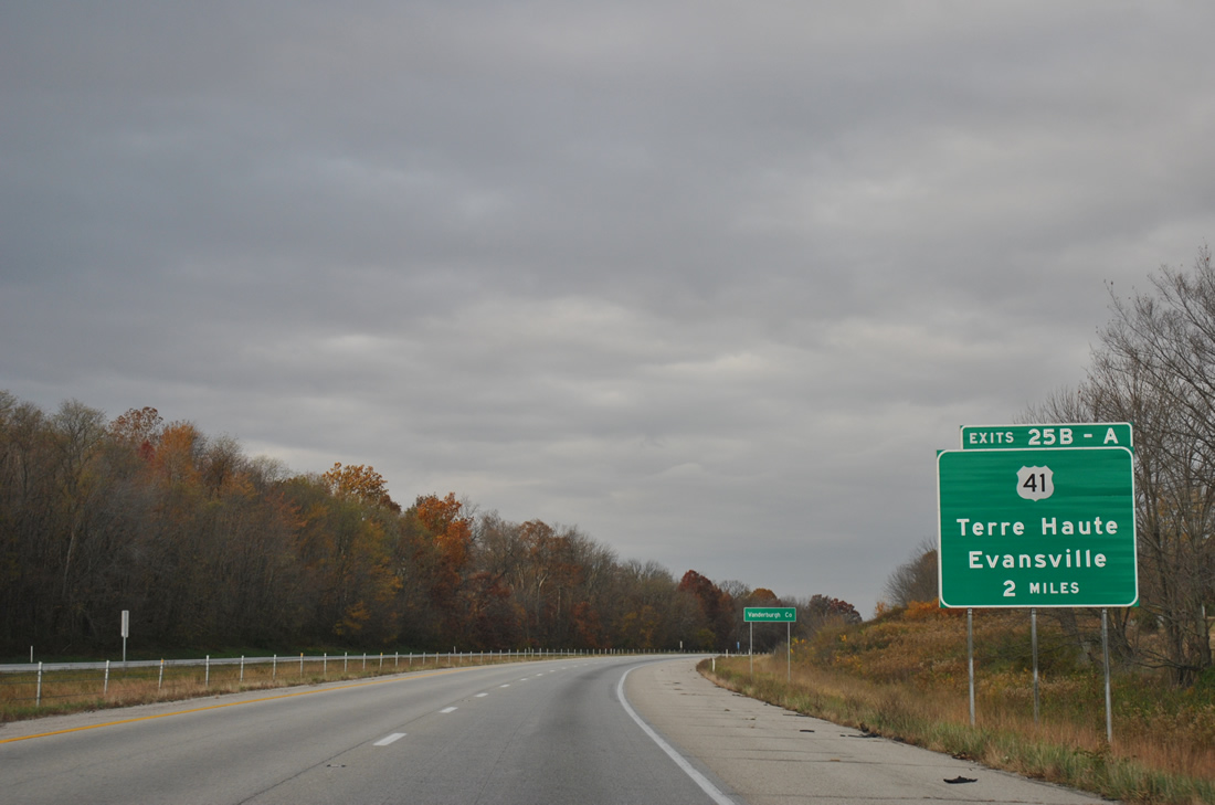
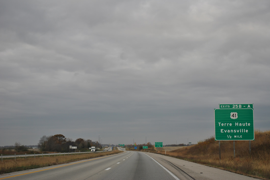
| U.S. 41 comprises a four lane divided highway north from Evansville and Inglefield to cross paths with Interstate 64 at a cloverleaf interchange (Exits 25B/A) in two miles. 11/07/11 |
|
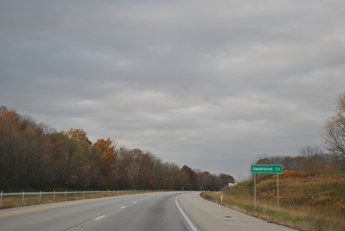
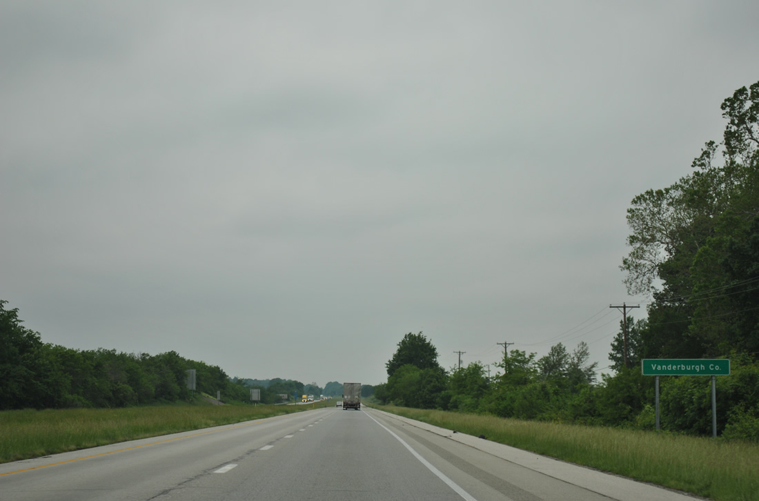
| Interstate 64 briefly dips into Vanderburgh County, the home of Evansville, on the approach to U.S. 41. 11/07/11 |
|
| U.S. 41 represents a major corridor throughout western Indiana, linking Evansville with Henderson, Kentucky to the south and Princeton, Vincennes and Terre Haute to the north. 11/07/11 |
|
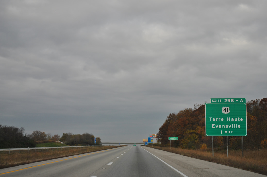
| Reentering Gibson County on the one mile approach to Exit 25B to U.S. 41 north. The freeway will straddle the Vanderburgh County line to Exit 16. 11/07/11 |
|
| Upgrades of U.S. 41 to expressway standards occurred to link Evansville with the Interstate 70 corridor at Terre Haute. This was done to provide a better link to Indianapolis, but the western component of that trek was still too much, and Interstate 69, thanks to the Major Moves initiative, is underway to provide a direct link between the capitol city. 11/07/11 |
|
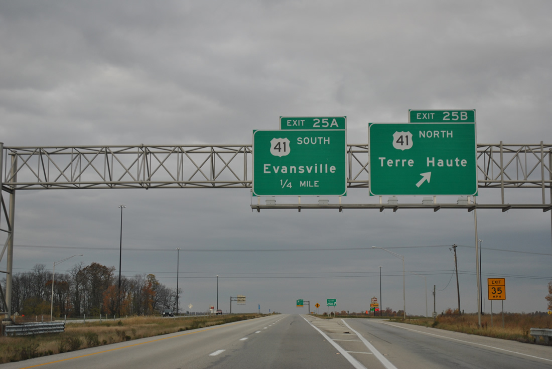
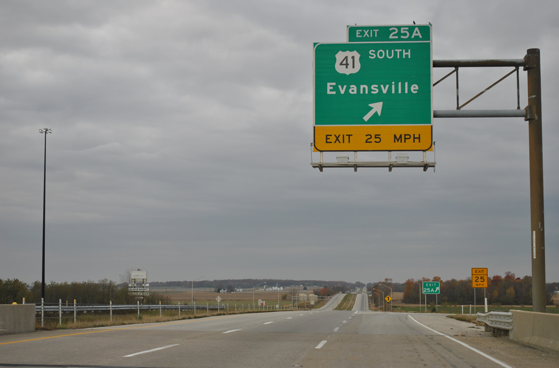
| Now at Exit 25 A-B, a cloverleaf interchange between Interstate 64 and U.S. 41. Going for 280 miles, U.S. 41 maintains four lane expressway standards in conjunction with SR 63 to Northwest Indiana, including Rockville, Attica and Kentland. 11/07/11 |
|
| Southbound U.S. 41 travels 8.9 miles from Exit 25A to SR 57 near Evansville Regional Airport (EVV). 11/07/11 |
|
| A CSX Railroad line ventures north from Evansville parallel to U.S. 41 to Princeton, Vincennes and Terre Haute. Interstate 64 passes over the line just west of Exit 25. 05/27/11 |
|
| Cynthiana and Poseyville lies six and 12 miles ahead respectively in Posey County. St. Louis is still over a two hour drive away, especially with speed limits in Illinois limited to 65 miles per hour. 05/27/11 |
|
| Interstate 64 aligns just south of the Gibson County line to remain wholly within Vanderburgh County to Exit 18. A pair of frontage roads line both roadways to a point near Big Creek. 05/27/11 |
|
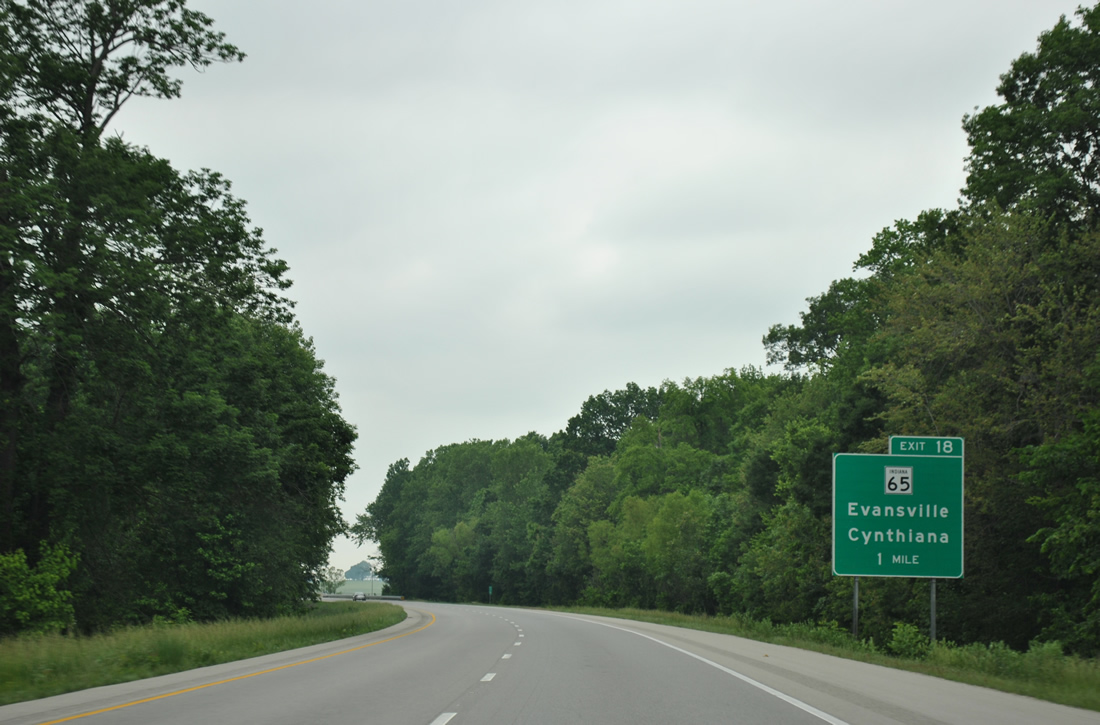
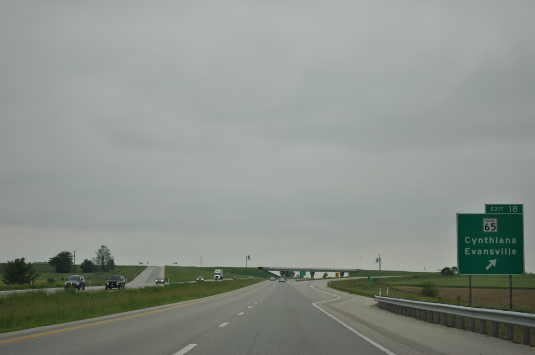
| Interstate 64 expands briefly at Big Creek on the one mile approach to SR 65 (Big Cynthiana Road). Cynthiana lies nearby at the cross roads of SR 65 and 68. 05/27/11 |
|
| Passing over a former railroad grade, one half mile east of the Exit 18 diamond interchange with SR 65 (Big Cynthiana Road). 05/27/11 |
|
| SR 65 travels 47.7 miles northwest from Evansville to Cynthiana and Owensville and northeast to Princeton and Petersburg. 05/27/11 |
|
| Drivers from SR 18 merge onto Interstate 64 west at the Posey County line. 05/27/11 |
|
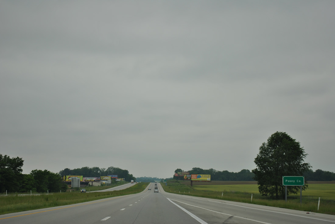
| Interstate 64 remains in Posey County to the Wabash River and Illinois state line. 05/27/11 |
|
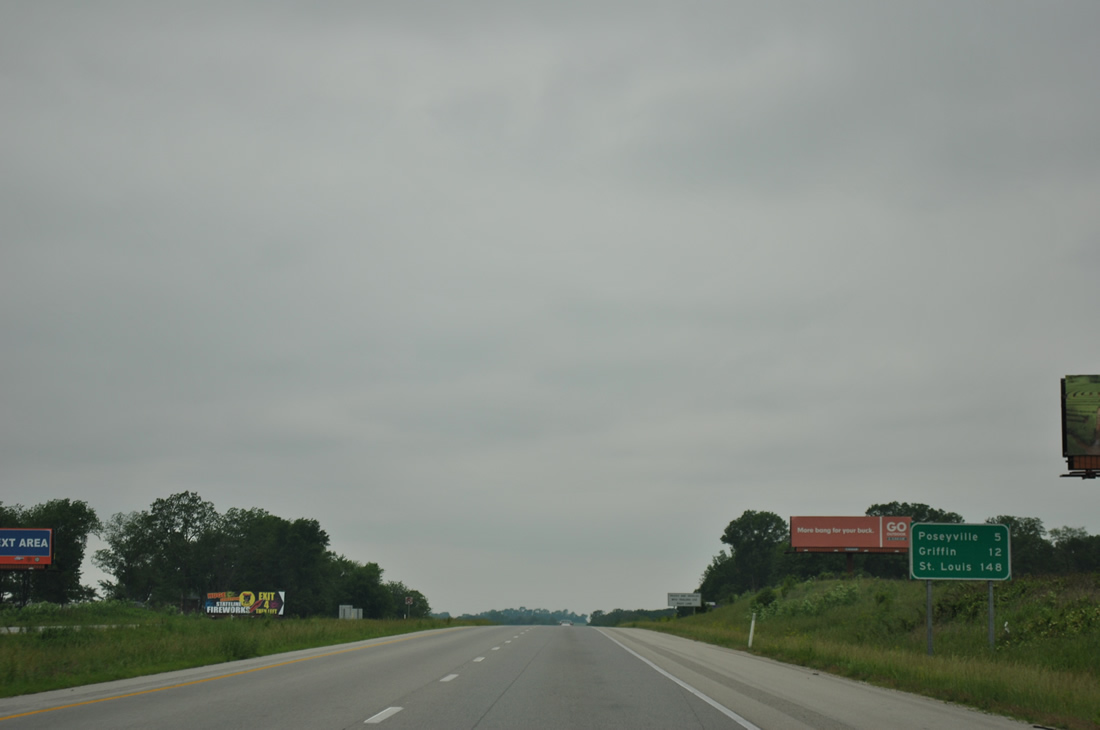
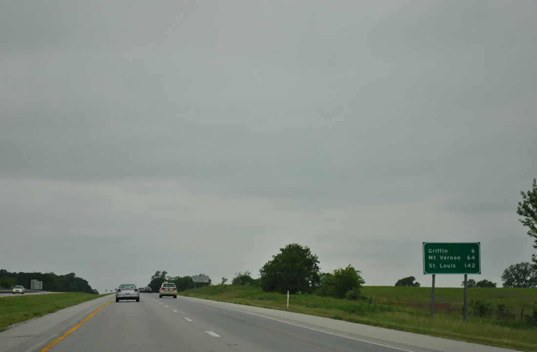
| Griffin is the last Indiana town and exit along Interstate 64 in 12 miles. St. Louis follows in 148 miles. 05/27/11 |
|
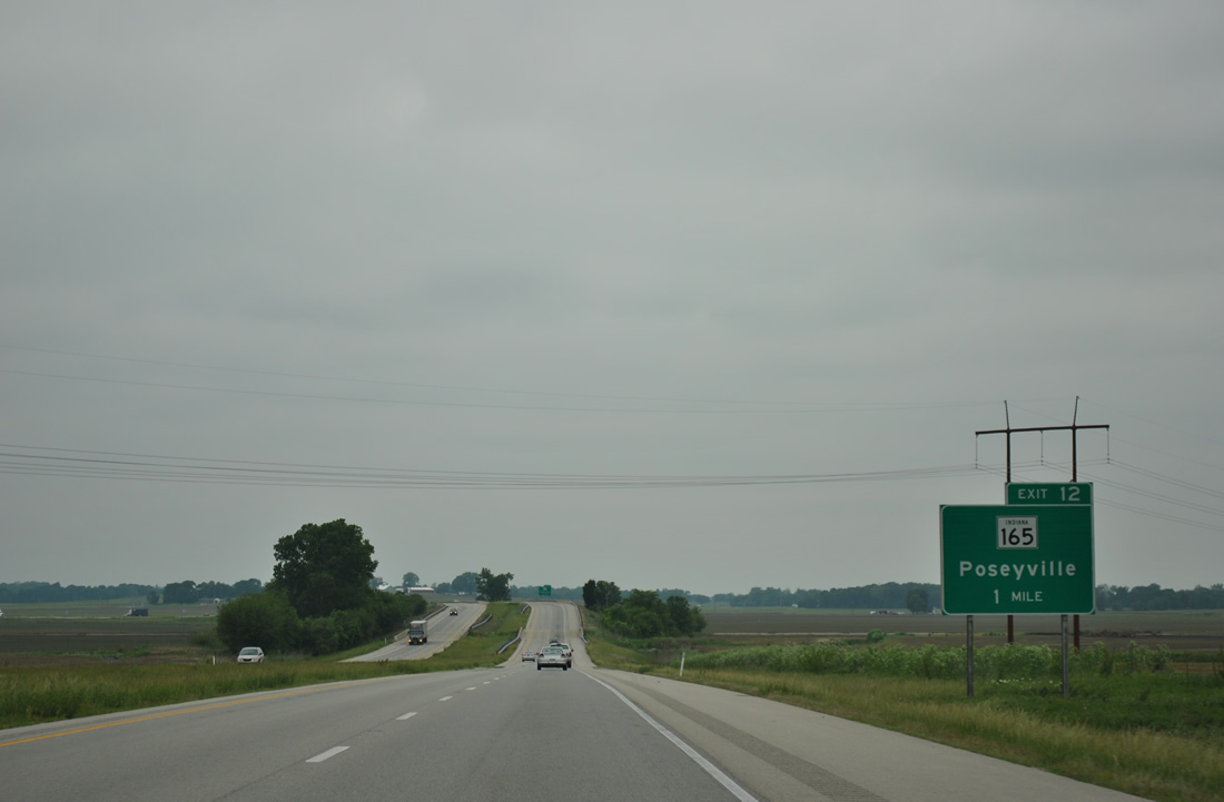
| SR165 branches west from SR 65 at Owensville to meet Interstate 64 at a diamond interchange (Exit 12) in one mile. 05/27/11 |
|
| Lowering from a crossing over an abandoned Louisville and Nashville Railroad line to Exit 12 and SR 165. SR 165 enters Poseyville south of Interstate 64, following St. Francis Avenue to a merge with SR 68 along Main Street. 05/27/11 |
|
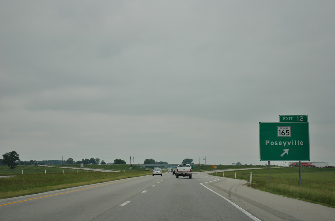
| Exit 12 departs Interstate 64 west to SR 165. SR 165 ends 3.9 miles south of Poseyville at Indian 66 (former U.S. 460). 05/27/11 |
|
| Mt. Vernon (Interstate 57) appears for the first time on westbound distance signs on this panel posted six miles east of Griffin. 05/27/11 |
|
| Roadways of Interstate 64 diverge through a hilly area near Stewartsville and Barrett ahead of the Black River. 05/27/11 |
|
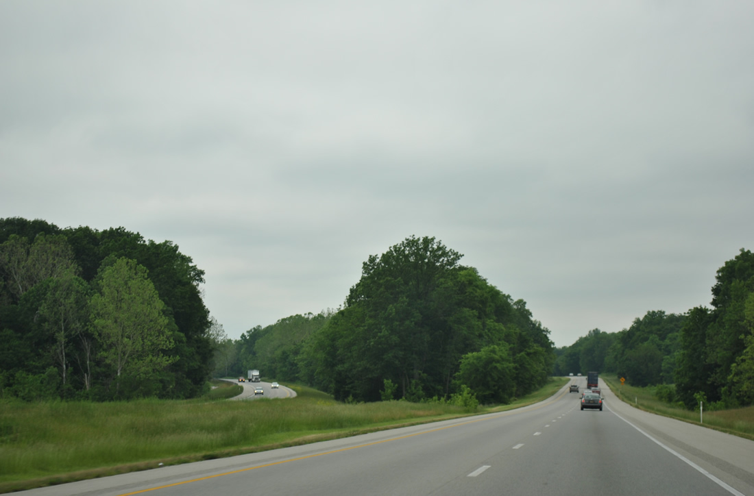
| Interstate 64 spans the Black River at the one mile advance sign for SR 69 (Wheeler Road) south and Main Street north to Griffin. 05/27/11 |
|
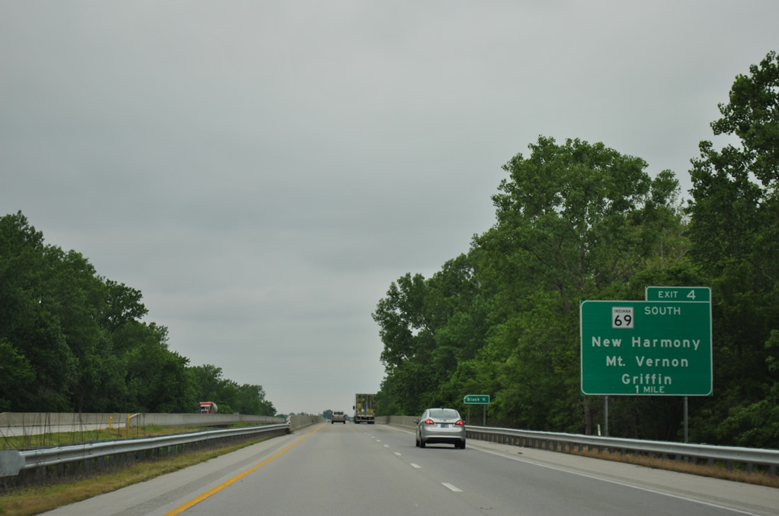
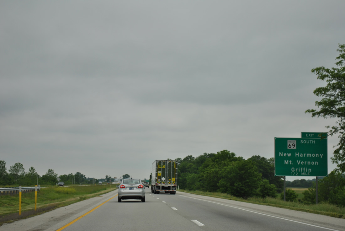
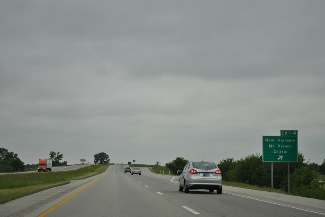
| SR 69 begins at a diamond interchange (Exit 4) and meanders south 22.9 miles to New Harmony (SR 66) and Mt. Vernon (SR 62). 05/27/11 |
|
| A seemingly temporary style sign directs motorists to the Exit 4 off-ramp for SR 69 (Wheeler Road) south and Main Street north into Griffin. 05/27/11 |
|
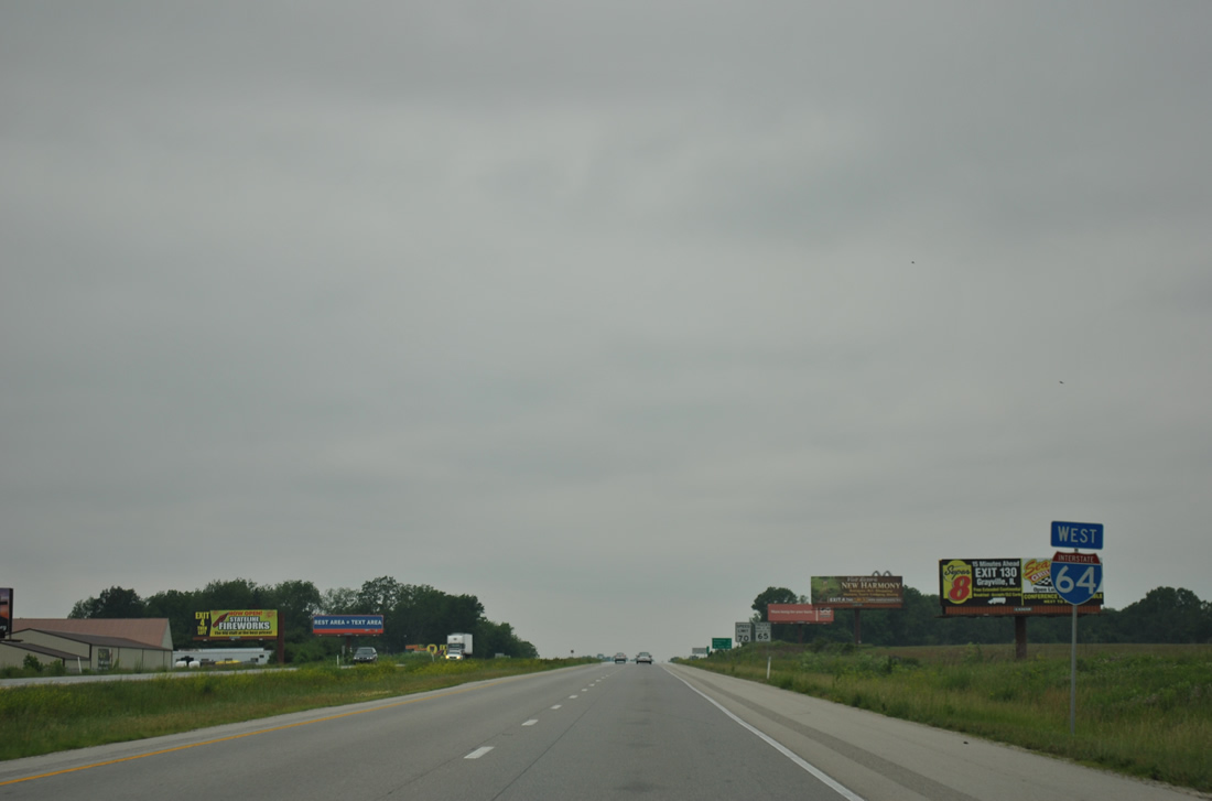
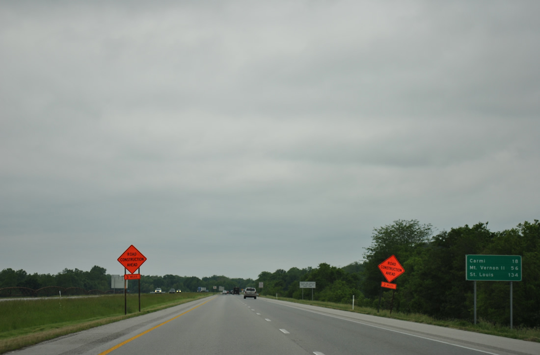
| Interstate 64 continues five miles to the first Illinois interchange, that with Illinois 1 south to Carmi and north to Grayville. The merge with Interstate 57 follows an otherwise rural stretch of Interstate 64 at Mt. Vernon in 56 miles. 05/27/11 |
|
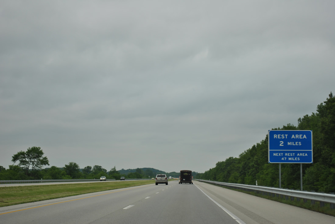
| A rest area follows the Interstate 64 crossing of the Wabash River in White County, Illinois. Interstate 64 passes by Mumford Hills in this scene ahead of Big Bayou. 05/27/11 |
|
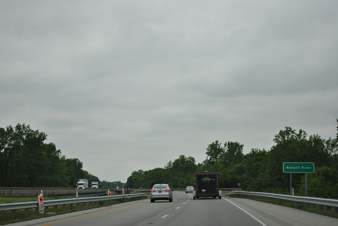
| The mid point of 1967-built bridge across the Wabash River separates Indiana and Illinois along Interstate 64 west. I-64 totals 128.12 miles in Illinois between the Wabash and Mississippi Rivers. 05/27/11 |
|
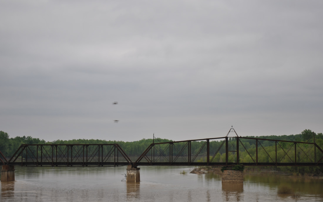
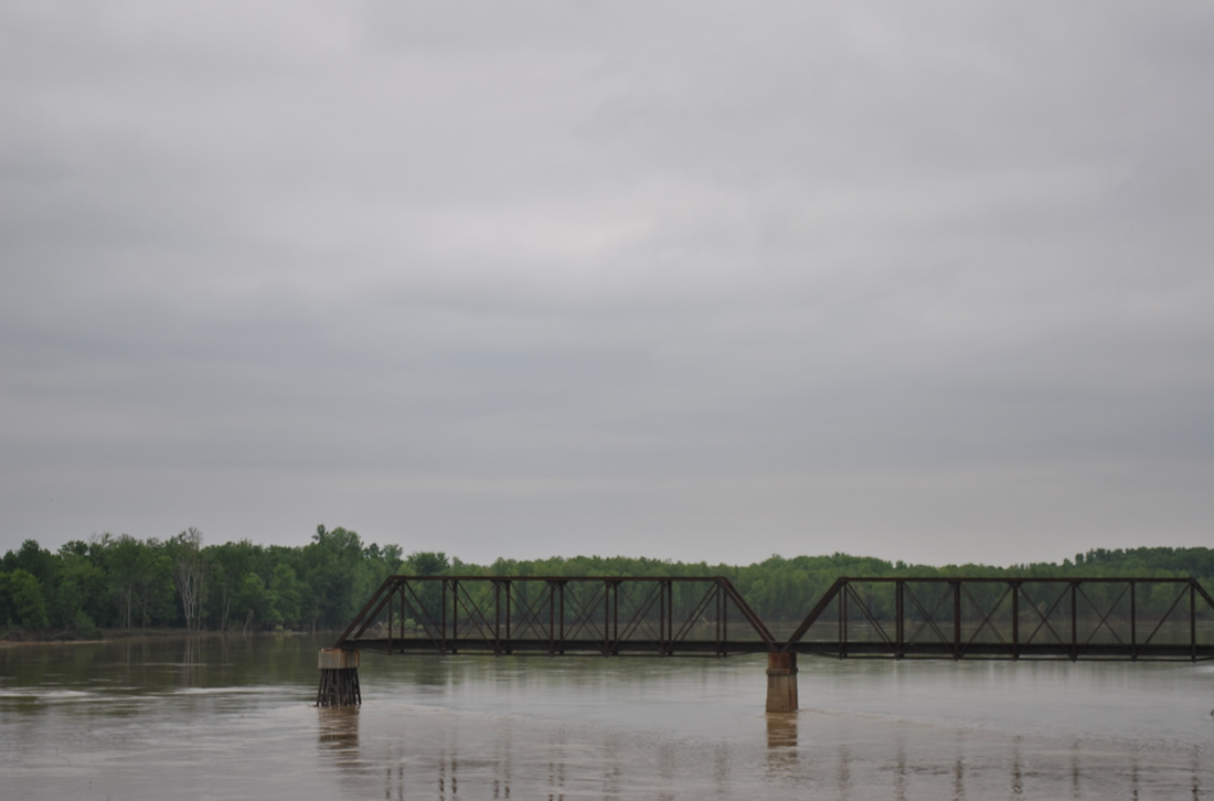
| A portion of the original Illinois Central Gulf Railroad truss bridge remains in place over the Indiana waters of the Wabash River adjacent to Interstate 64. 05/27/11 |
Page Updated 01-11-2012.

 West
West