|
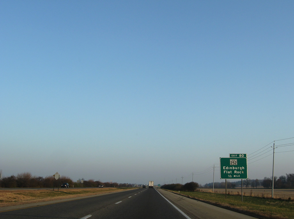
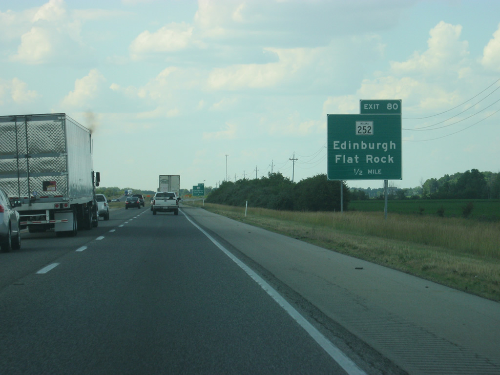
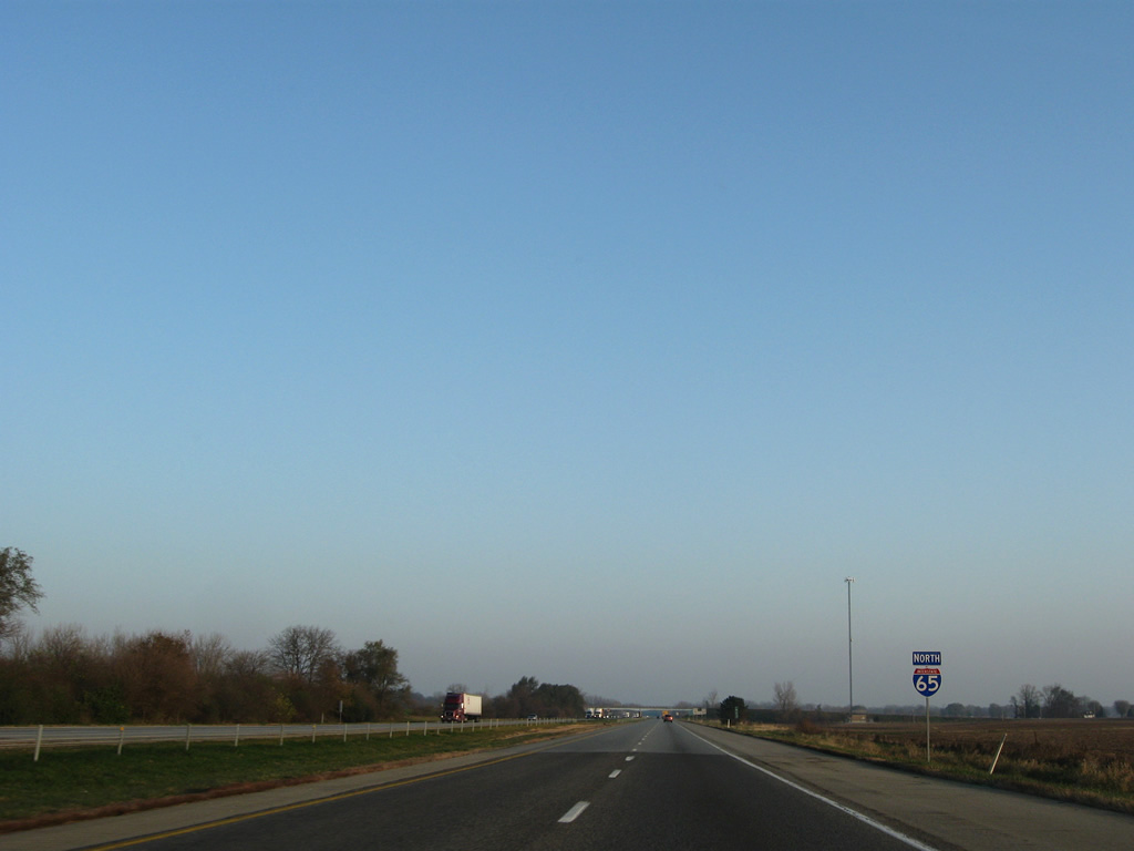
| One half mile south of the Exit 80 diamond interchange with SR 252. SR 252 follows Shelby Avenue to the Edinburgh city center and Center Cross Street to old U.S. 31. SR 252 and U.S. 31 share 3.7 miles northwest from town to a split for Trafalgar and Franklin respectively. 11/05/09, 06/07/12 |
|
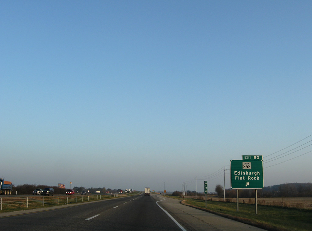
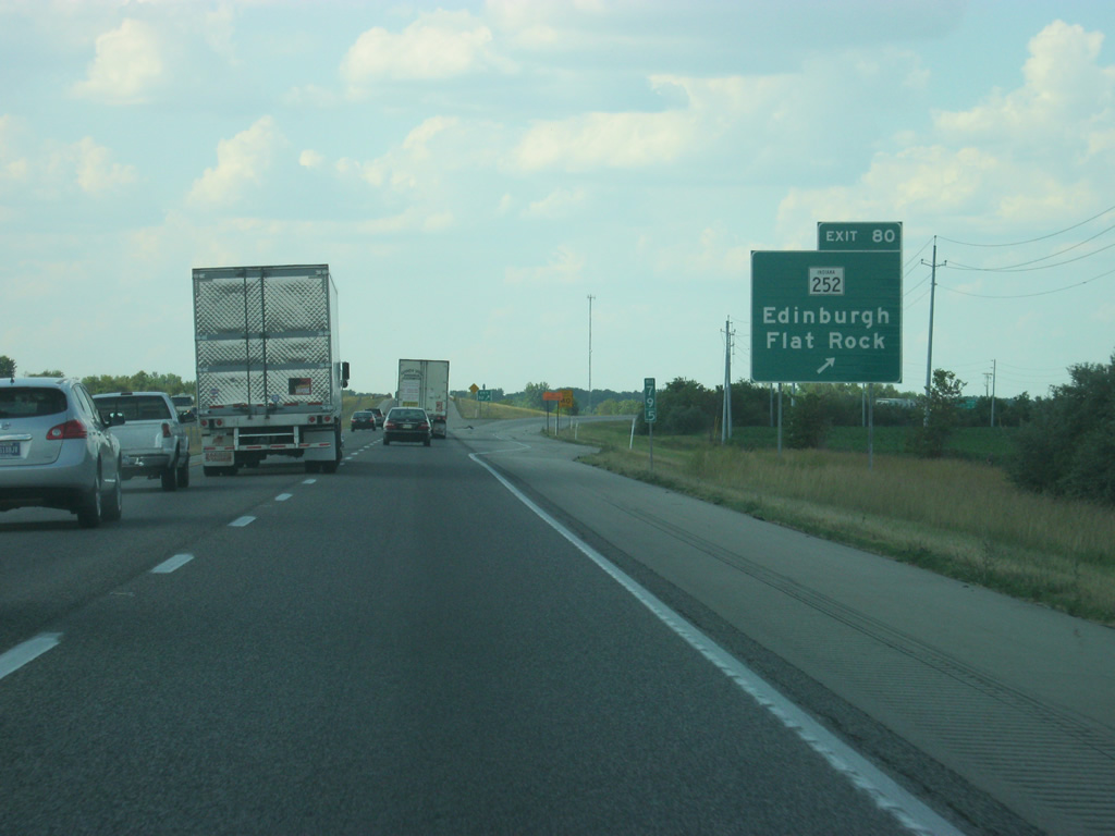
| Exit 80 parts ways with Interstate 65 north for SR 252. SR 252 ends 6.8 miles to the east at Flat Rock. The west section of the route travels 39 miles overall from Martinsville eastward. A second segment of SR 252 exists for 11 miles between Brookville and the Ohio state line near Scipio. 11/05/09, 06/07/12 |
|
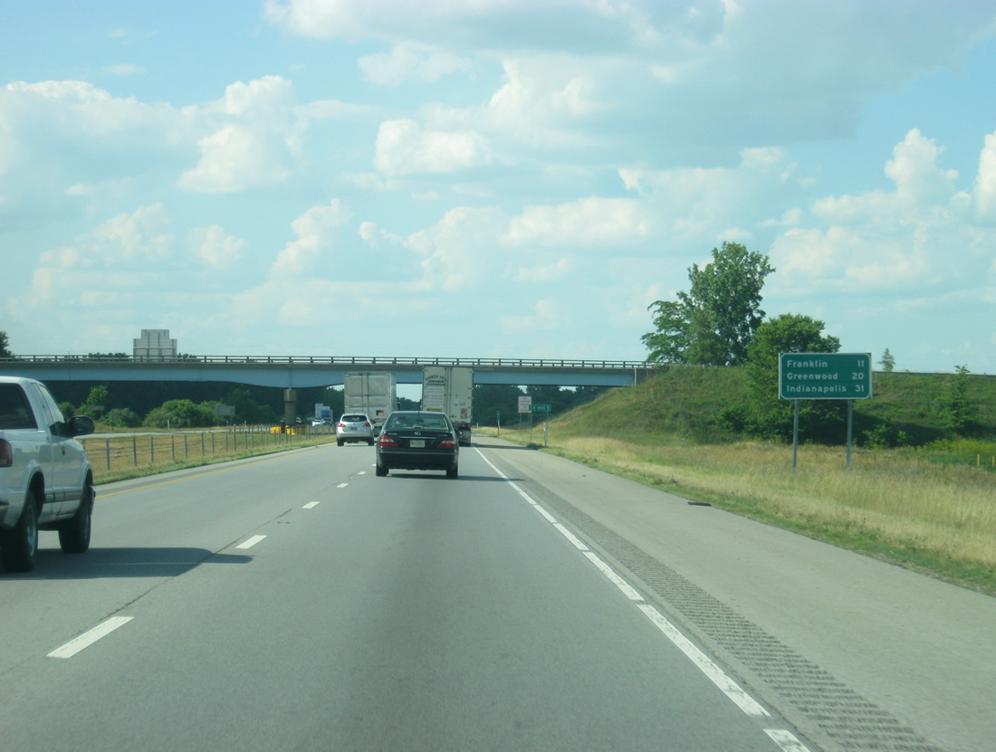
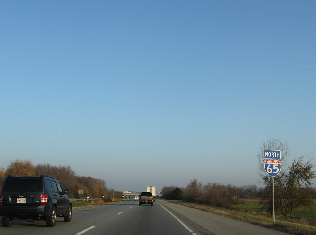
| Heading north from the outskirts of Edinburgh, Interstate 65 stays rural on the 11 mile trek to Franklin and away from the suburbs until Exit 95. 11/05/09, 06/07/12 |
|
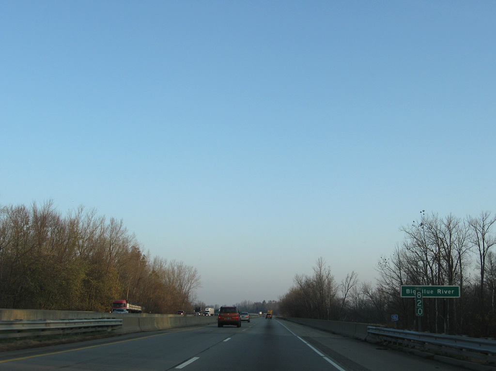
| Spanning the Big Blue River on Interstate 65 north. These spans opened with the freeway in 1969. 11/05/09 |
|
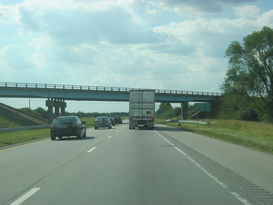
| County Road 800 East follows the boundary between Shelby and Johnson County over Interstate 65 north. 06/07/12 |
|
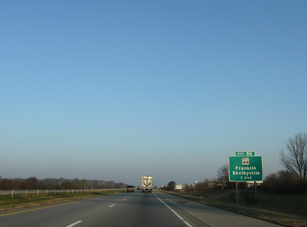
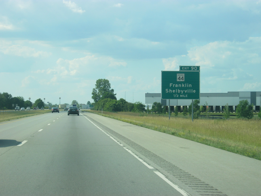
| SR 44 meets Interstate 65 on the eastern outskirts of Franklin at the Exit 90 diamond interchange. 11/05/09, 06/07/12 |
|
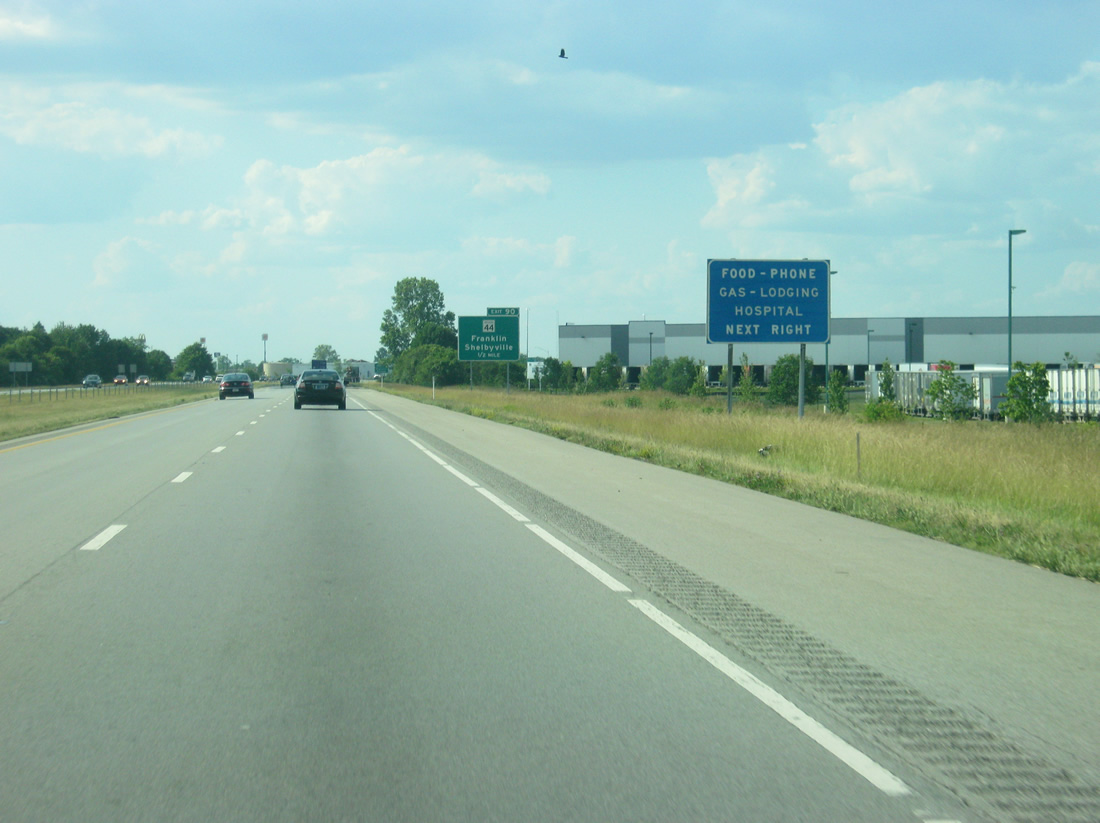
| A button-copy services sign approaching Exit 90 survived the overhaul of signage along Interstate 65 north. 06/07/12 |
|
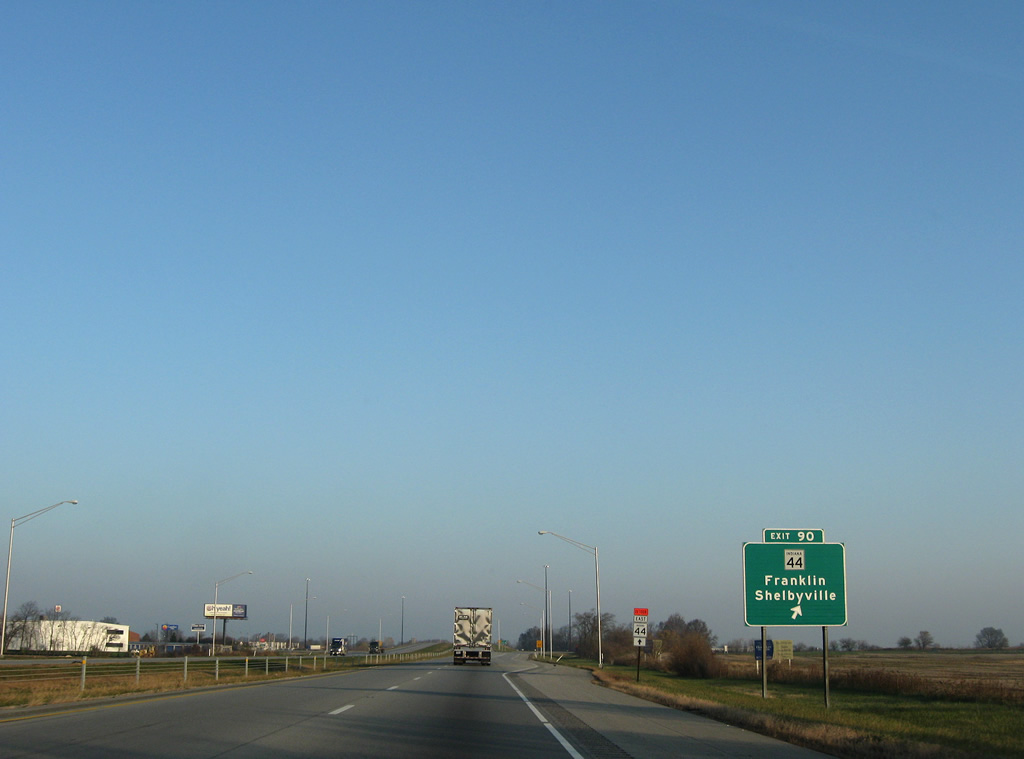
| Traveling 89.8 miles, SR 44 joins Franklin with Martinsville and SR 37 to the west and Shelbyville and Interstate 74 to the east. The state road ends as SR 725, east of Connersville and Liberty. 11/05/09, 06/07/12 |
|
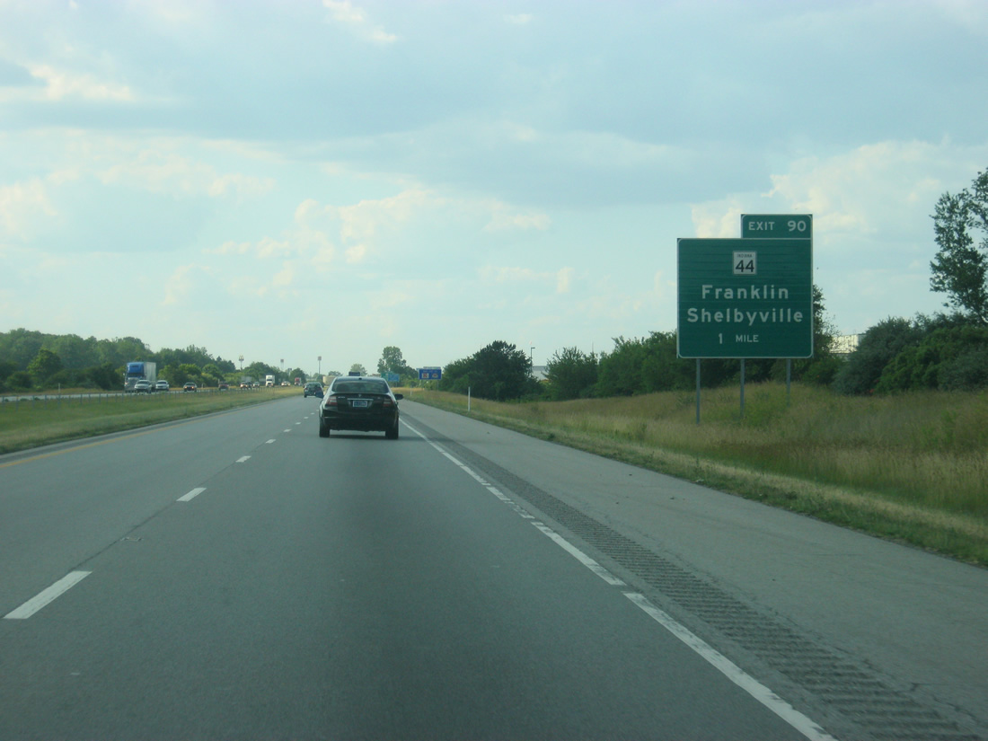
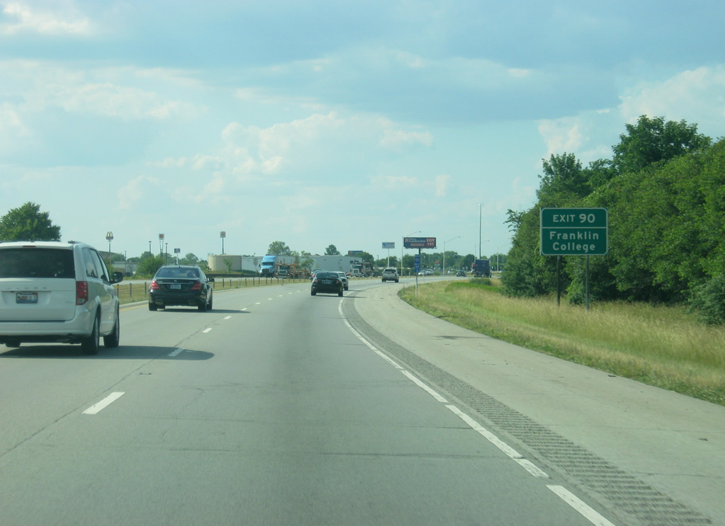
| Franklin College, a private liberal arts college that was founded in 1834 is just west along SR 44 in Franklin. 06/07/12 |
|
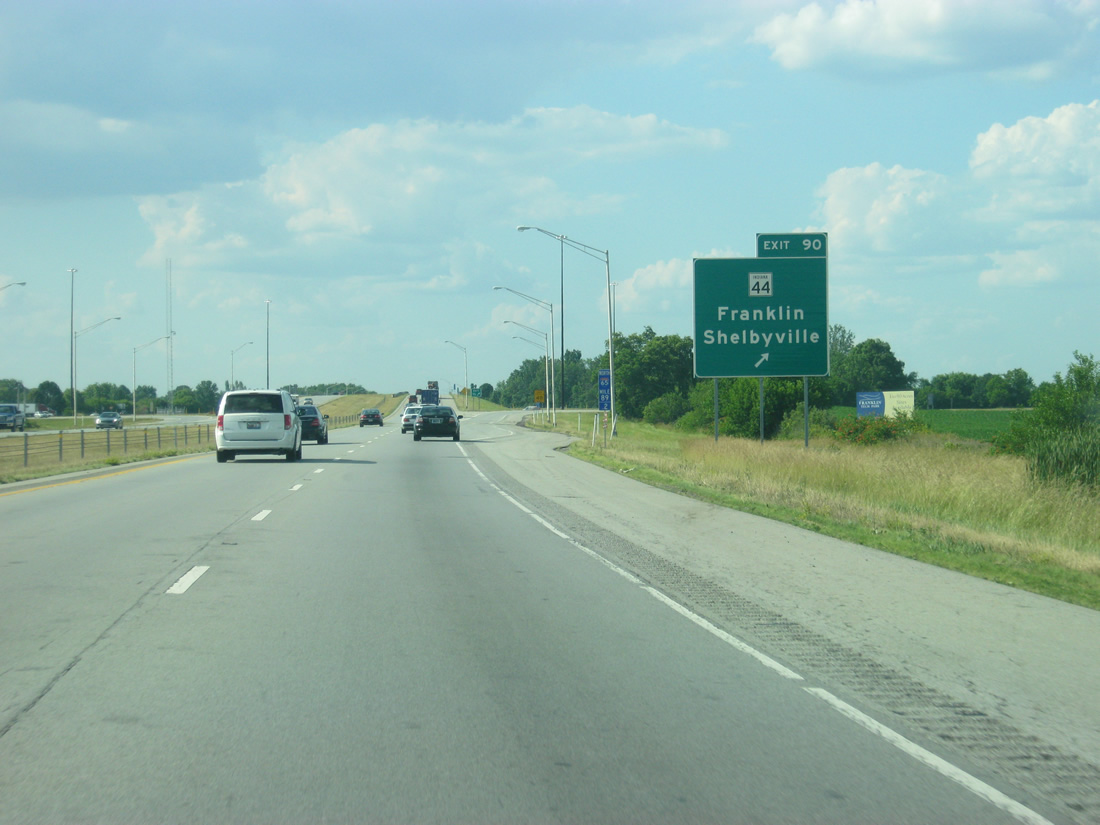
| Interstate 65 enters the city limits of Franklin ahead of the Exit 90 ramp departure to SR 44. SR 44 follows King and Jefferson Streets to U.S. 31 (Morton Street) in Franklin. Interests to Franklin College should follow the state road west. 11/05/09 |
|
| Interstate 65 enters the city limits of Franklin ahead of Exit 90 to SR 44. SR 44 follows King and Jefferson Streets to U.S. 31 (Morton Street) in Franklin. Interests to Franklin College should follow the state road west. 06/07/12 |
|
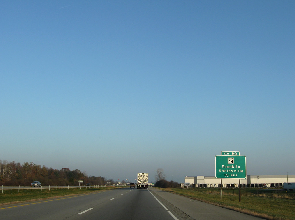
| Traffic increases as Interstate 65 doubles as a commuter route leading into the capital city. 11/05/09 |
|
| The Johnson County communities of Whiteland and Greenwood follow at nine and eleven miles respectively. Indianapolis is only 21 miles away. 06/07/12 |
|
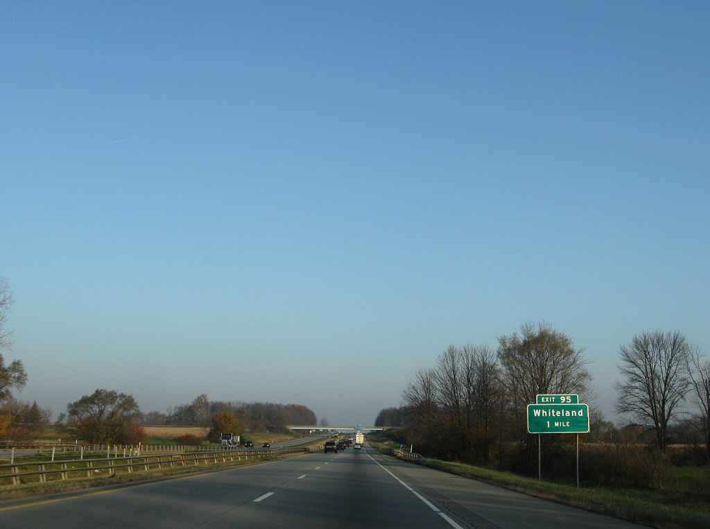
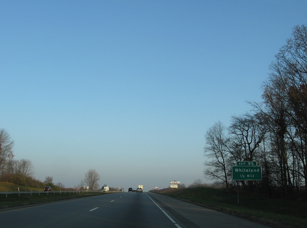
| Whiteland Road and County Road 500 North come together at the Exit 95 diamond interchange in one mile. 11/05/09, 06/07/12 |
|
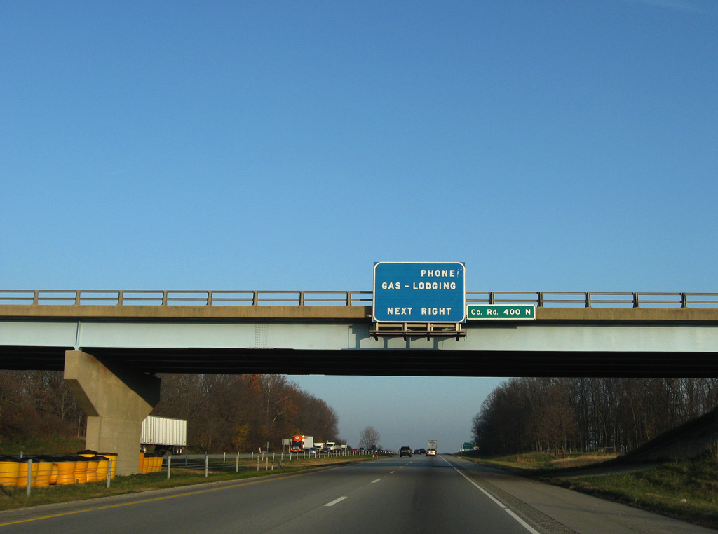
| An older style services sign remained in service at the County Road 400 North overpass. Interstate 65 rises slowly from Hurricane Creek to skirt east of Whiteland. 11/05/09 |
|
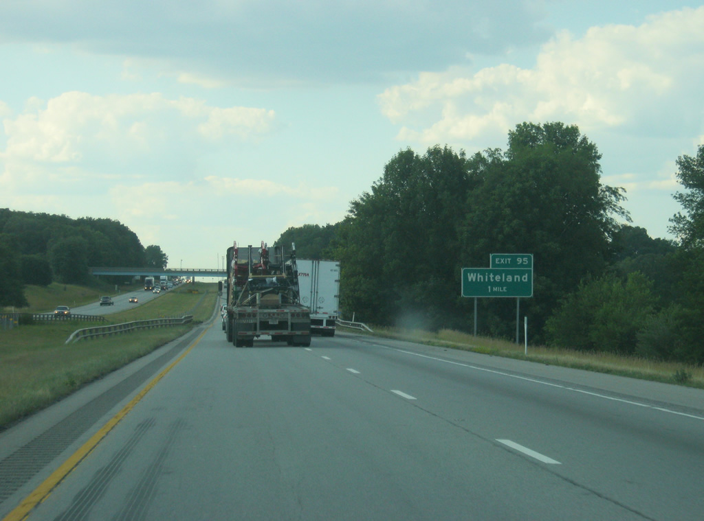
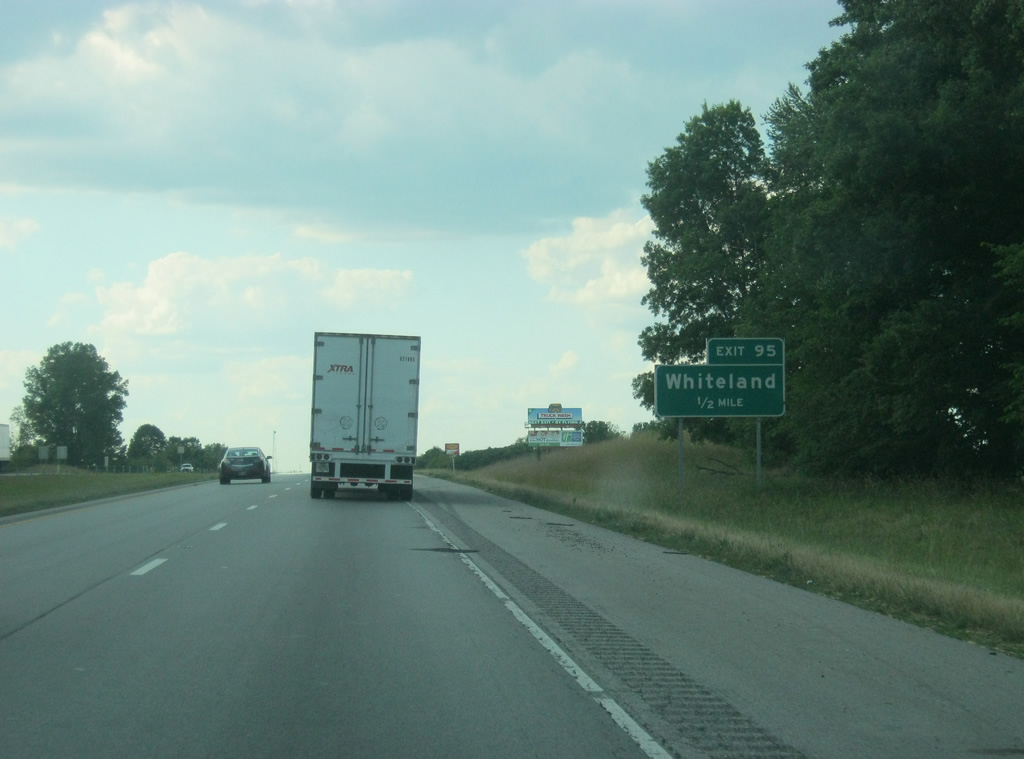
| Whiteland Road is mostly rural outside of an adjacent truck stop at Exit 95. The municipality lies at the crossroads of Main Street (Whiteland Road) and the Louisville & Indiana Railroad, east of U.S. 31. 11/05/09, 06/07/12 |
|
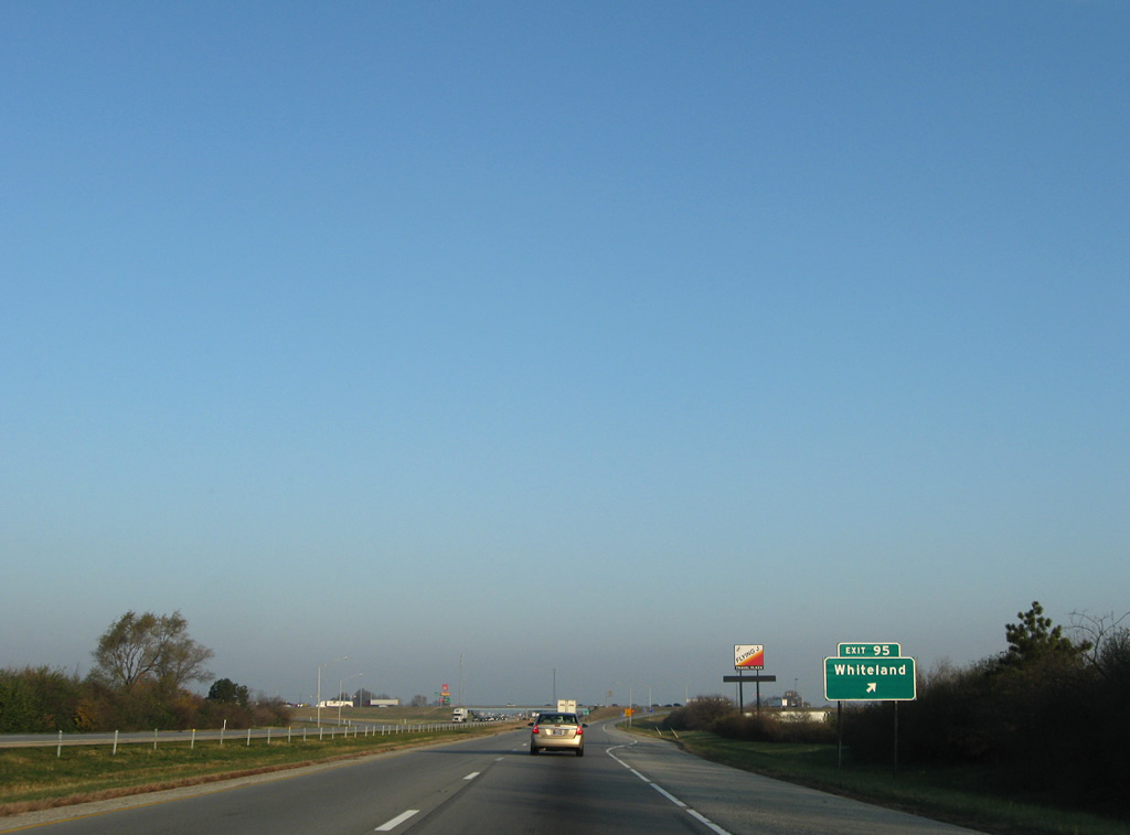
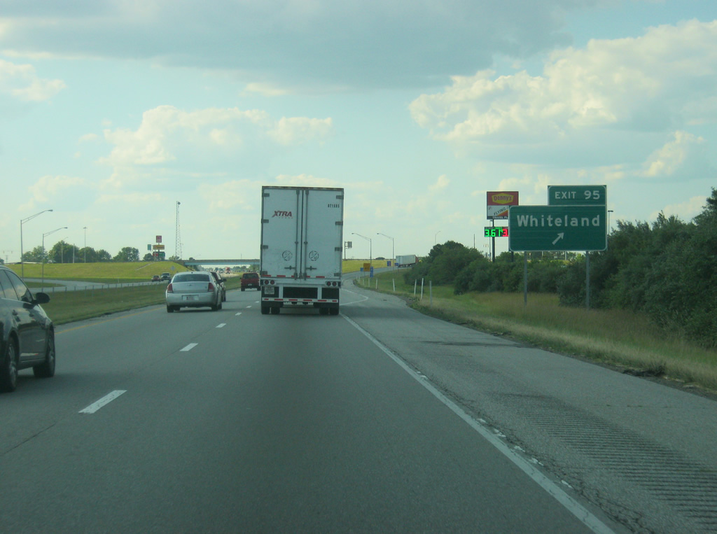
| Exit 95 departs Interstate 65 north for Whiteland Road. U.S. 31 connects Whiteland with the suburb of New Whiteland and southern reaches of Greenwood. 11/05/09, 06/07/12 |
|
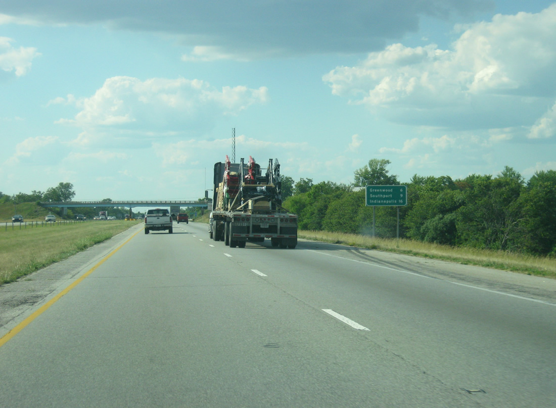
| North of Exit 95, Greenwood follows now at six miles with the Marion County city of Southport at nine miles. Downtown Indianapolis is 16 miles away. 06/07/12 |
|
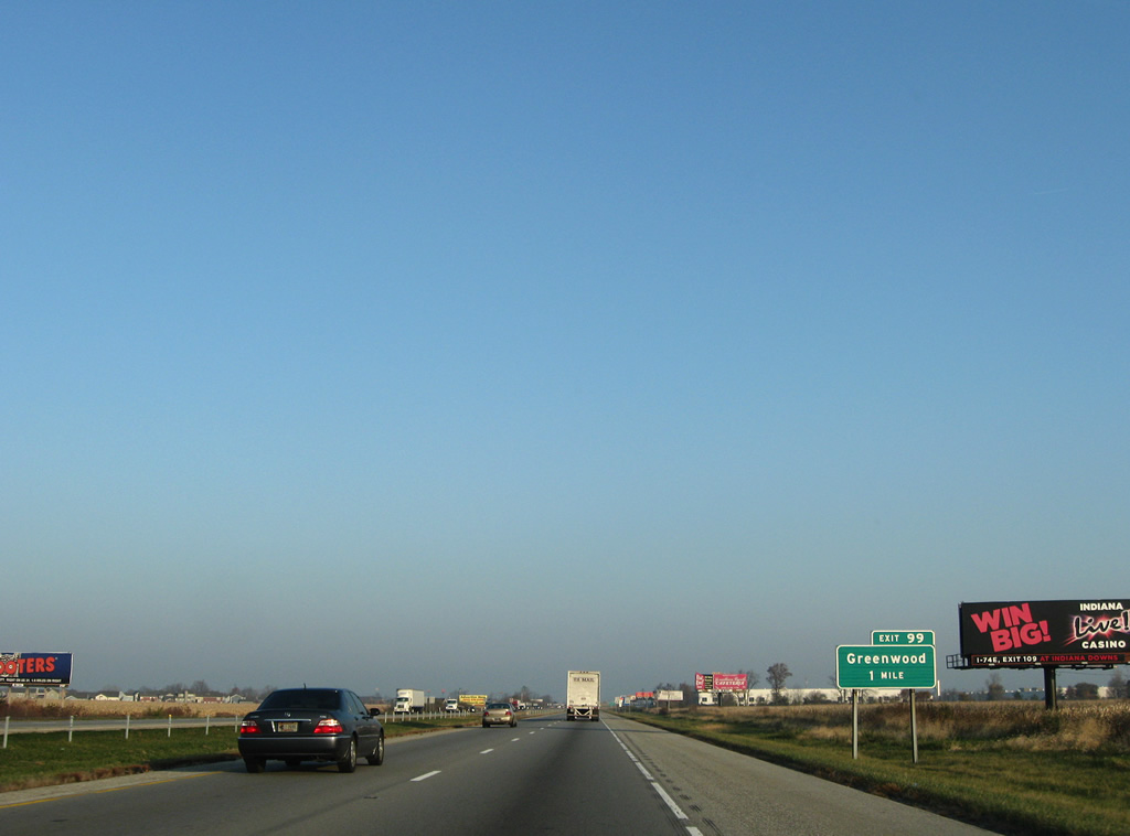
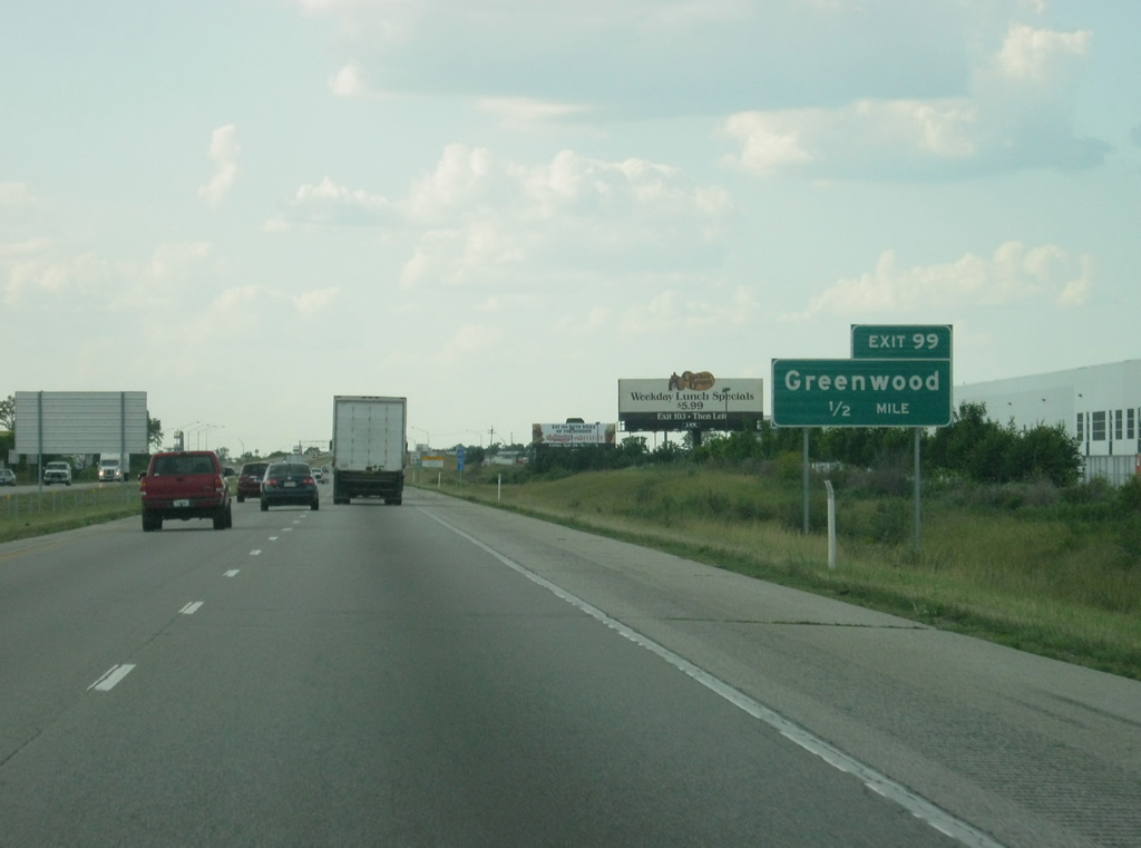
| Interstate 65 cuts a swath through eastern reaches of Greenwood on the one mile approach to East Main Street and Rocklane Road (Exit 99). 11/05/09, 06/07/12 |
|
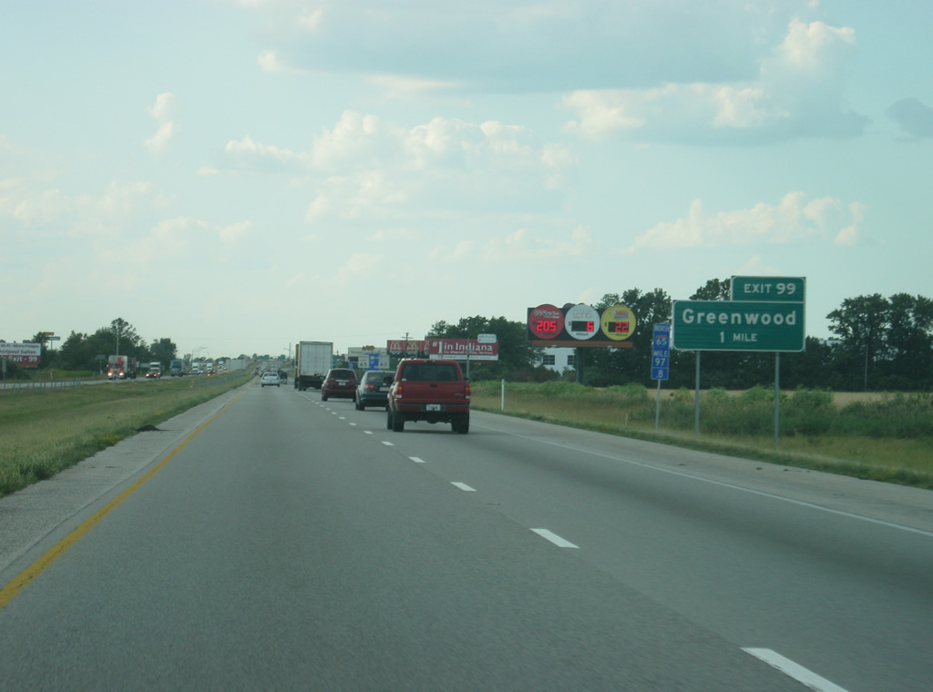
| Several industrial parks reside in eastern Greenwood, surrounding the Exit 99 diamond interchange with Rocklane Road and East Main Street. 11/05/09, 06/07/12 |
|
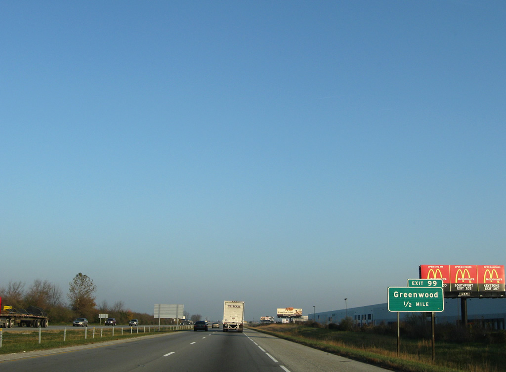
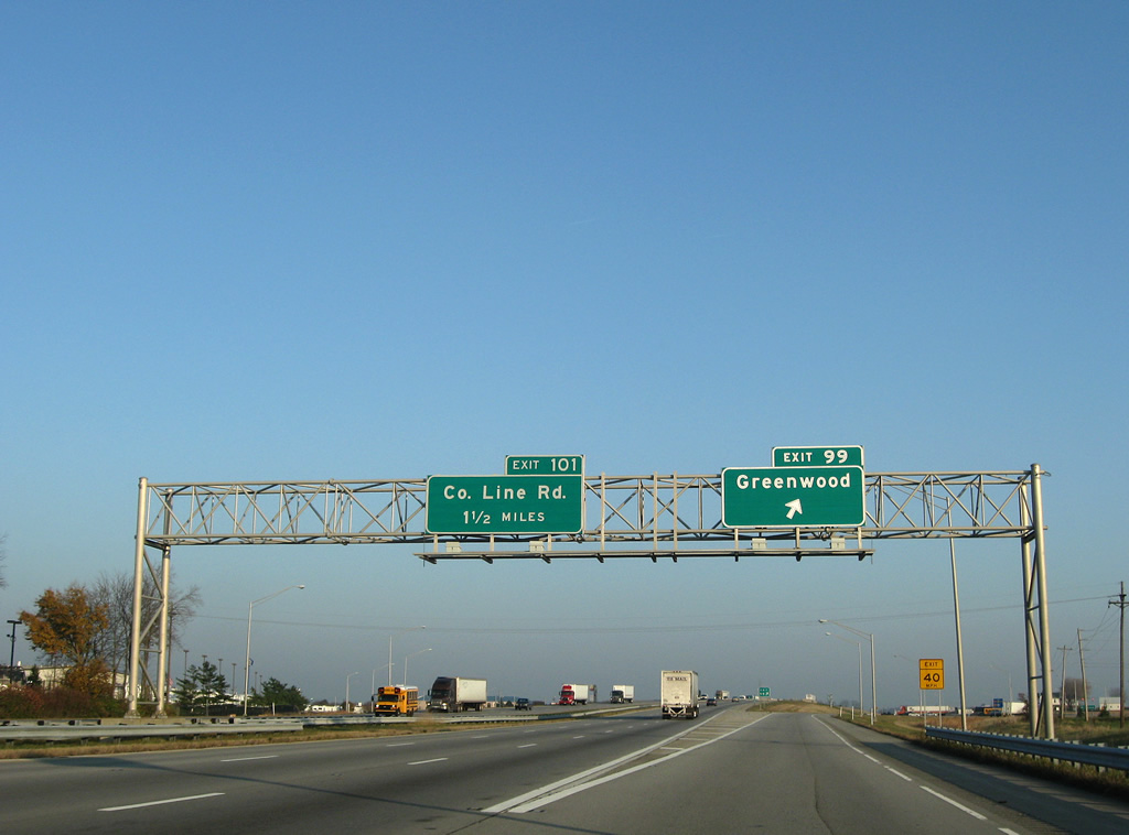
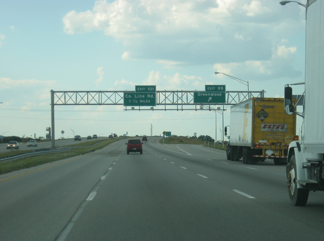
| Interstate 65 expands to six overall lanes from Exit 99 northward into Indianapolis and Marion County. Exit 99 partitions with the freeway in this scene at Greenwood. Main Street leads west from the freeway to SR 135 near Critchfield. Rocklane Road continues the road eastward to newly platted subdivisions and rural Rocklane and Reds Corner. 11/05/09, 06/07/12 |
|
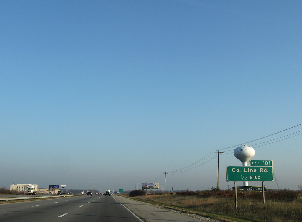
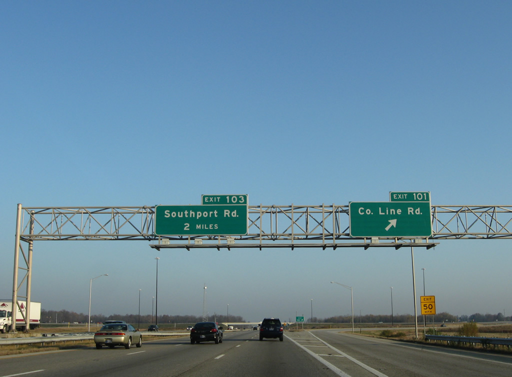
| A short distance northward is the six-ramp parclo interchange with County Line Road (Exit 101). 11/05/09 |
|
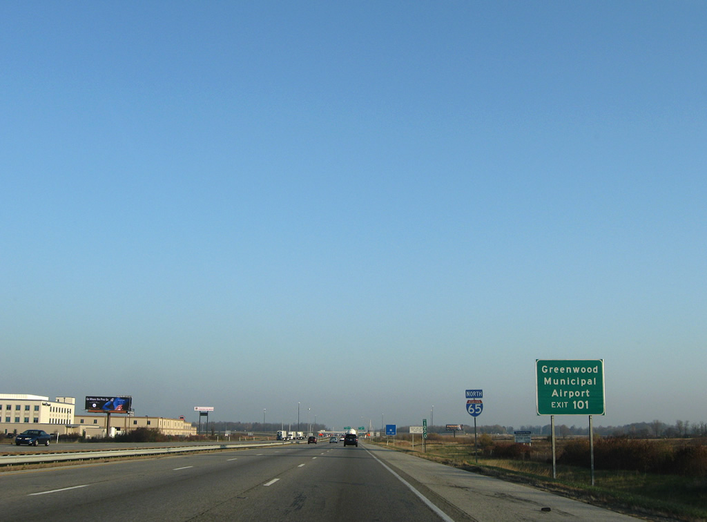
| Greenwood Municipal Airport (HFY) lies just west of Emerson Avenue via County Line Road and Exit 101. 11/05/09 |
|
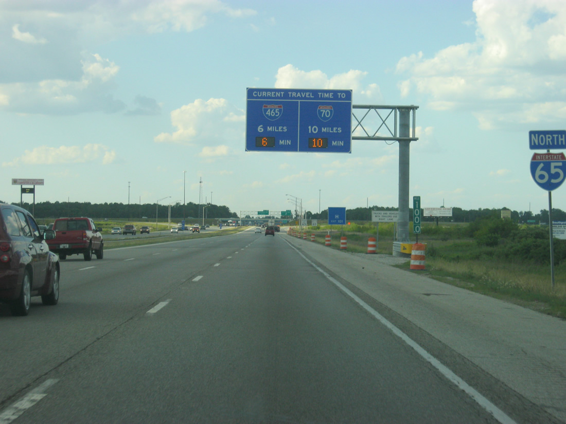
| Approaching Exit 101 (County Line Road), a Travel Time sign gives the distance and estimated times to Interstate 465 (Exit 106) and Interstate 70 (Exit 110). 06/07/12 |
|
| Exit 101 leaves northbound Interstate 65 for County Line Road. County Line Road ventures west to U.S. 31 at Greenwood Park Mall and east to end at Five Points Road. 11/05/09 |
|
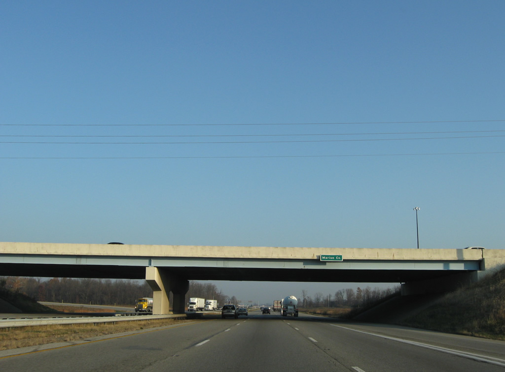
| Entering Marion County and the city of Indianapolis at the County Line Road overpass of Interstate 65 north. 11/05/09 |
Page Updated 02-25-2013.

 North
North