|
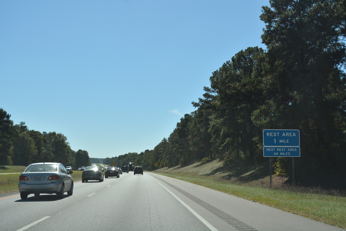
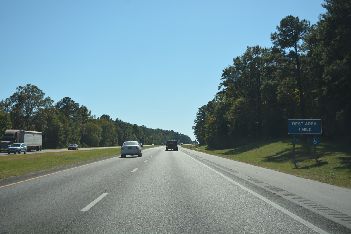
| Progressing south from the Old Searcy Road underpass, Interstate 65 reaches the second to last rest area of the 887 mile route in one mile. 10/09/16 |
|
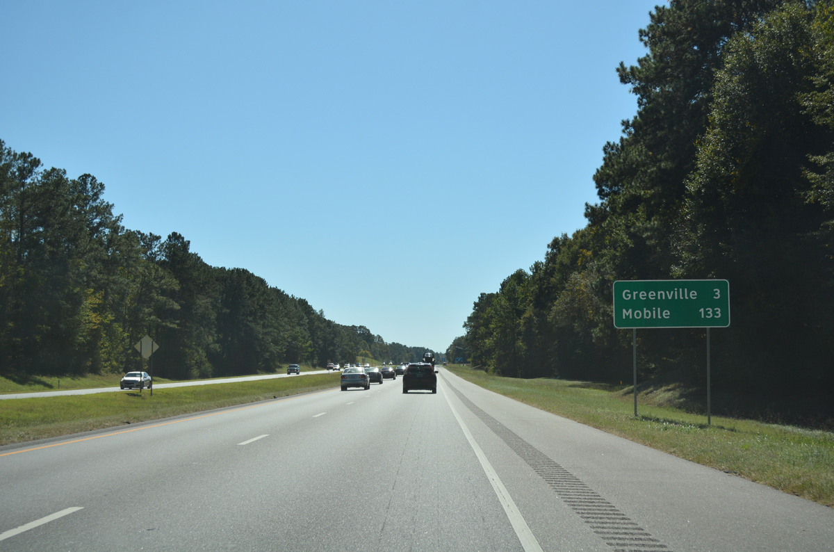
| The bulk of the 133 miles remaining south along Interstate 65 to Mobile traverse pine forest. 10/09/16 |
|
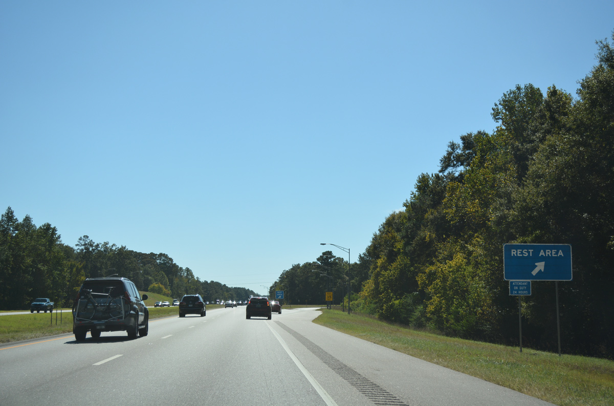
| Rest area facilities at milepost 133 are situated just above Persimmon Creek, which flows west of the freeway. 10/09/16 |
|
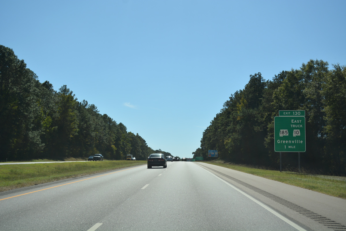
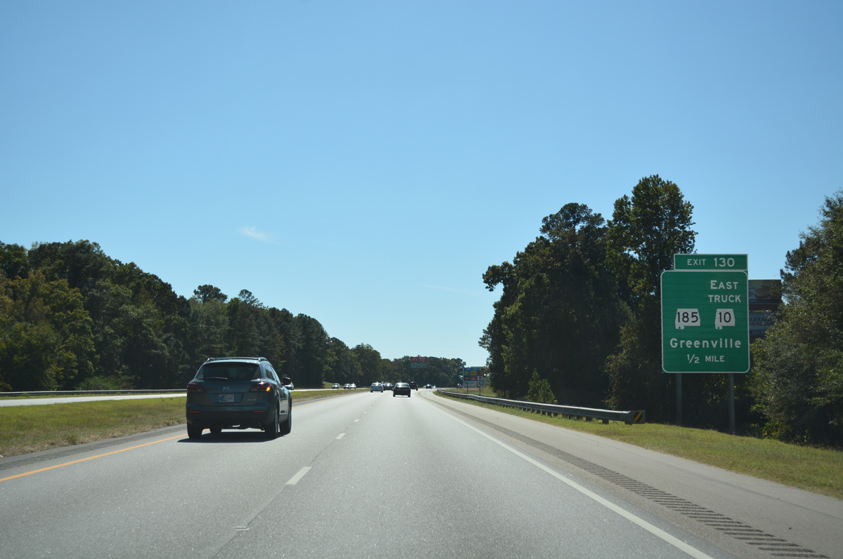
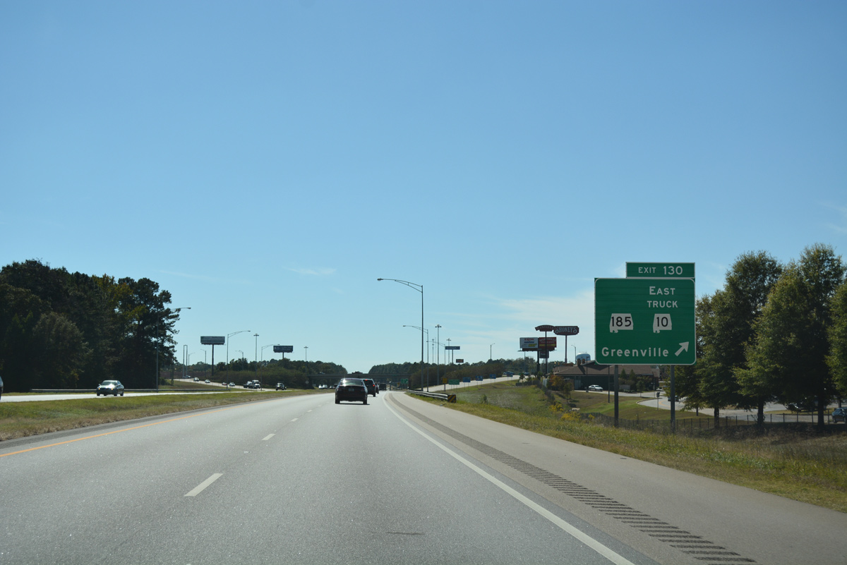
| SR 185 (Fort Dale Road) returns to Interstate 65 at the first of two exits for Greenville. SR 185 south to adjacent SR 245 provides a truck bypass around Greenville for through traffic headed east to SR 10 to Luverne. SR 185 also has a signed truck route around the city. 10/09/16 |
|
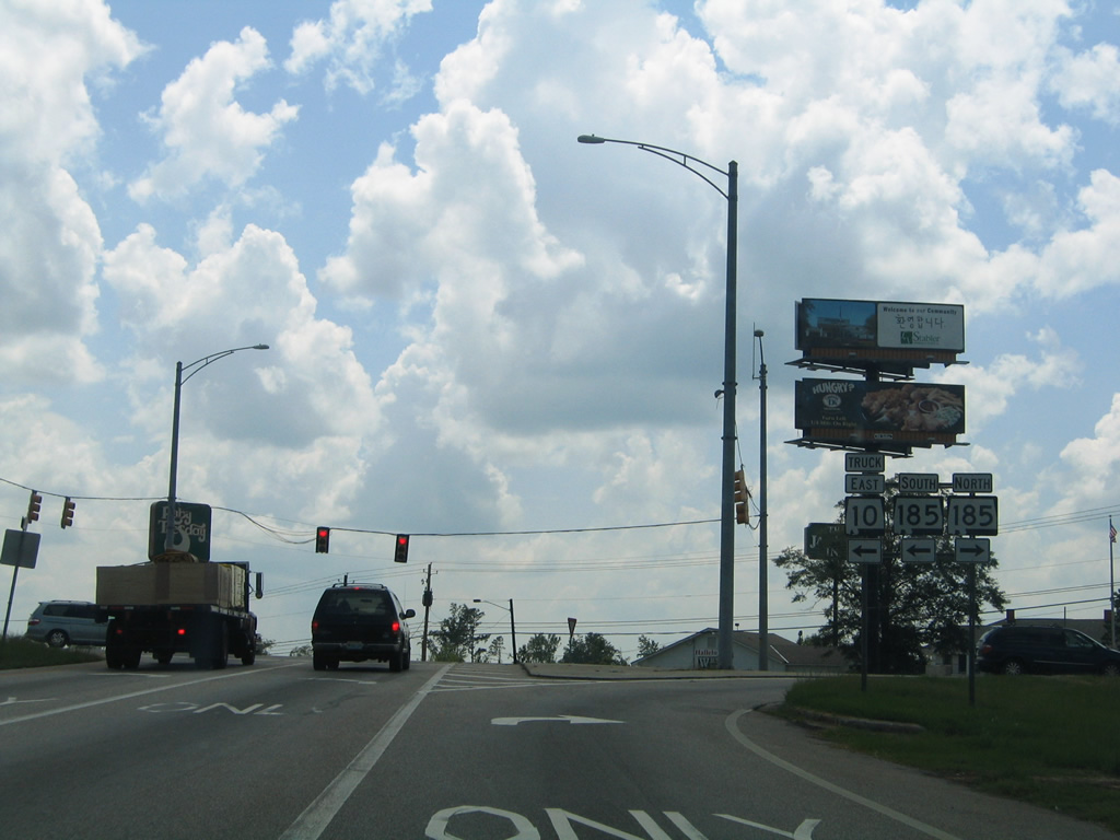
| SR 185 leads south from Exit 130 through Greenville along College Street and Aztec Road to end at U.S. 31 (Mobile Road) south of the city. Northward the route splits with SR 263 in three miles by Fort Dale and Cambrian Ridge Golf Course. 10/09/16 |
|
| Exit 130 leaves I-65 south for SR 185 (Fort Dale Road) and SR 10 Truck east. SR 245 encircles north Greenville by Mac Crenshaw Memorial Airport (PRN) 2.59 miles east to SR 10 (Commerce Street) byPersimmon Creek. 10/09/16 |
|
| A number of traveler amenities including gas stations, restaurants, and lodging cluster around the forthcoming diamond interchange (Exit 130) with SR 185 (Fort Dale Road). Big box retail spreads to the west along Cahaba Road (CR 73) nearby. 07/12/05 |
|
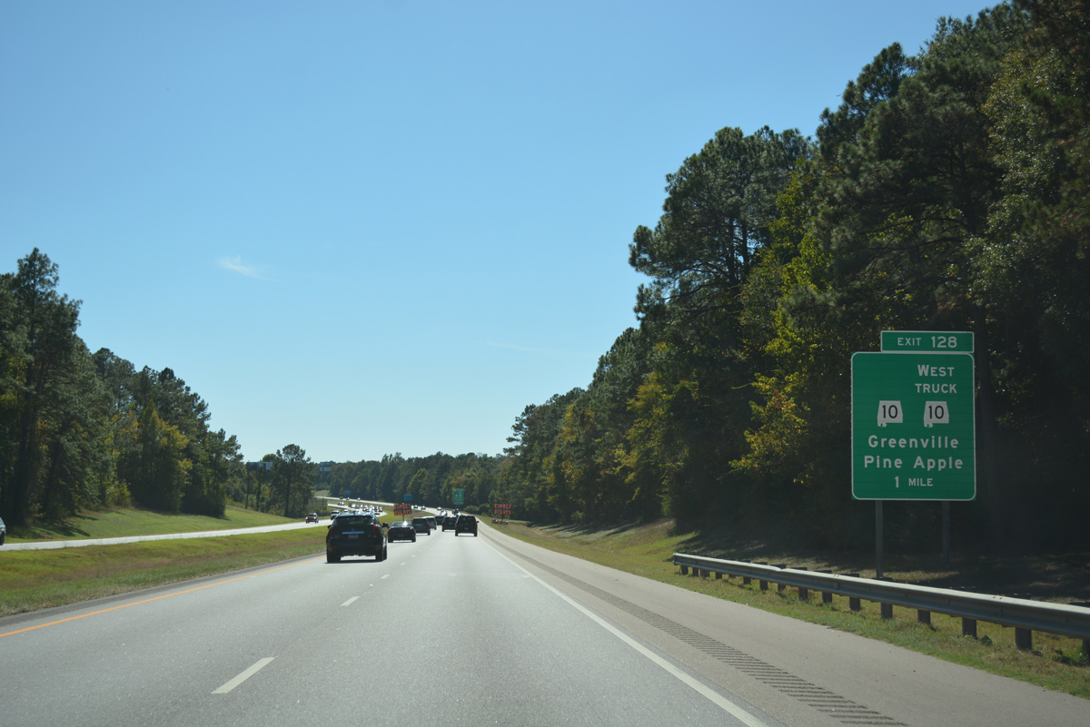
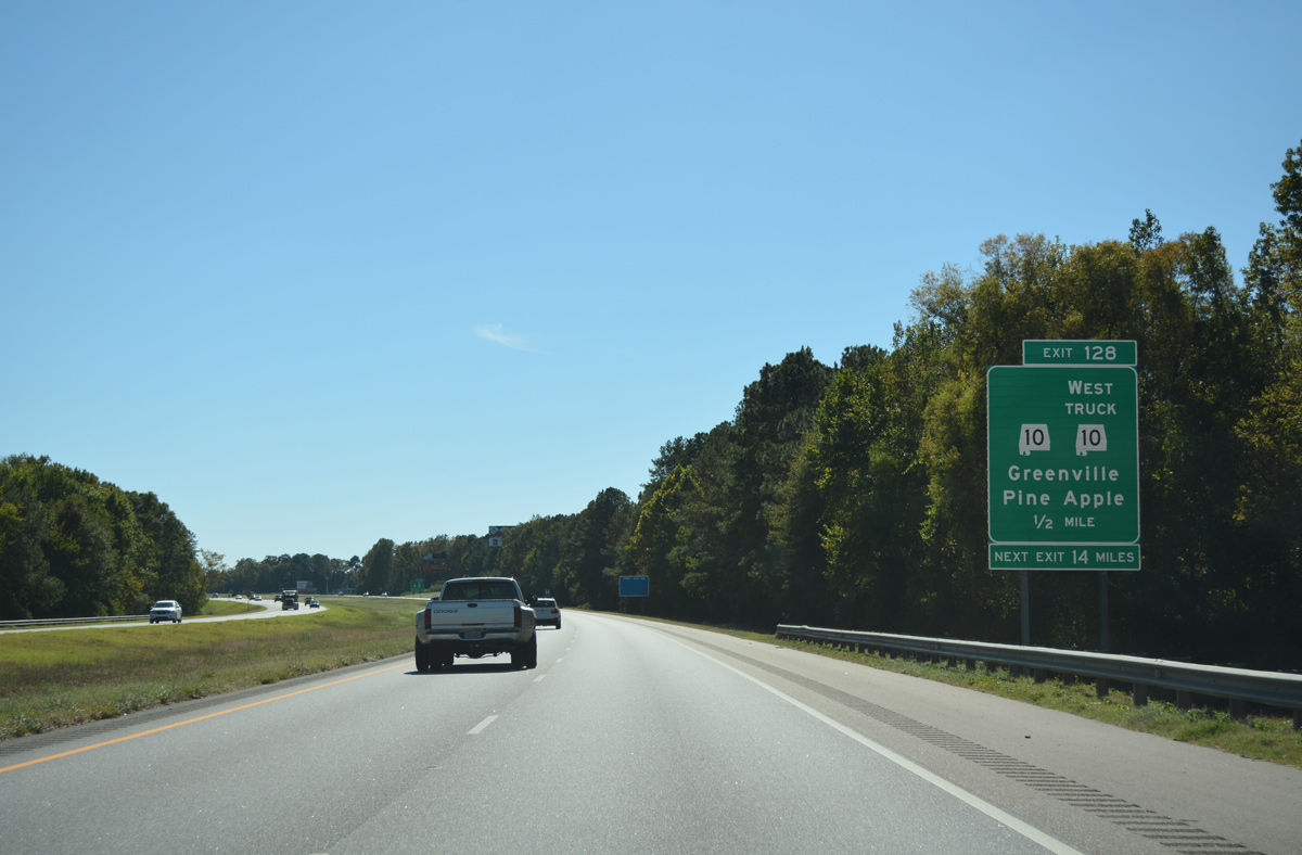
| The SR 10 truck route accompanies Interstate 65 south for 2.39 miles to Exit 128. The subsequent reassurance marker stands ahead of the Manningham Road overpass. 10/09/16 |
|
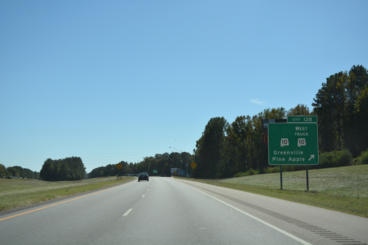
| SR 10 (Pineapple Highway) transitions into a rural route west from Commerce Street in Greenville to meet Interstate 65 at a diamond interchange. 10/09/16 |
|
| SR 10 (Pineapple Highway) travels 22 miles west to Pine Apple and 44 miles to the Wilcox County seat of Camden. 10/09/16 |
|
| Southbound I-65 at Exit 128 for SR 10 and the ending SR 10 Truck. Comprising the main route between Greenville and Troy, SR 10 travels the width of the state 230.72 miles from the Mississippi near Yantly to Georgia near Shortersville. 10/09/16 |
|
| Drivers cross over Peavy Creek beyond this confirming marker for I-65 south of Exit 128. 10/09/16 |
|
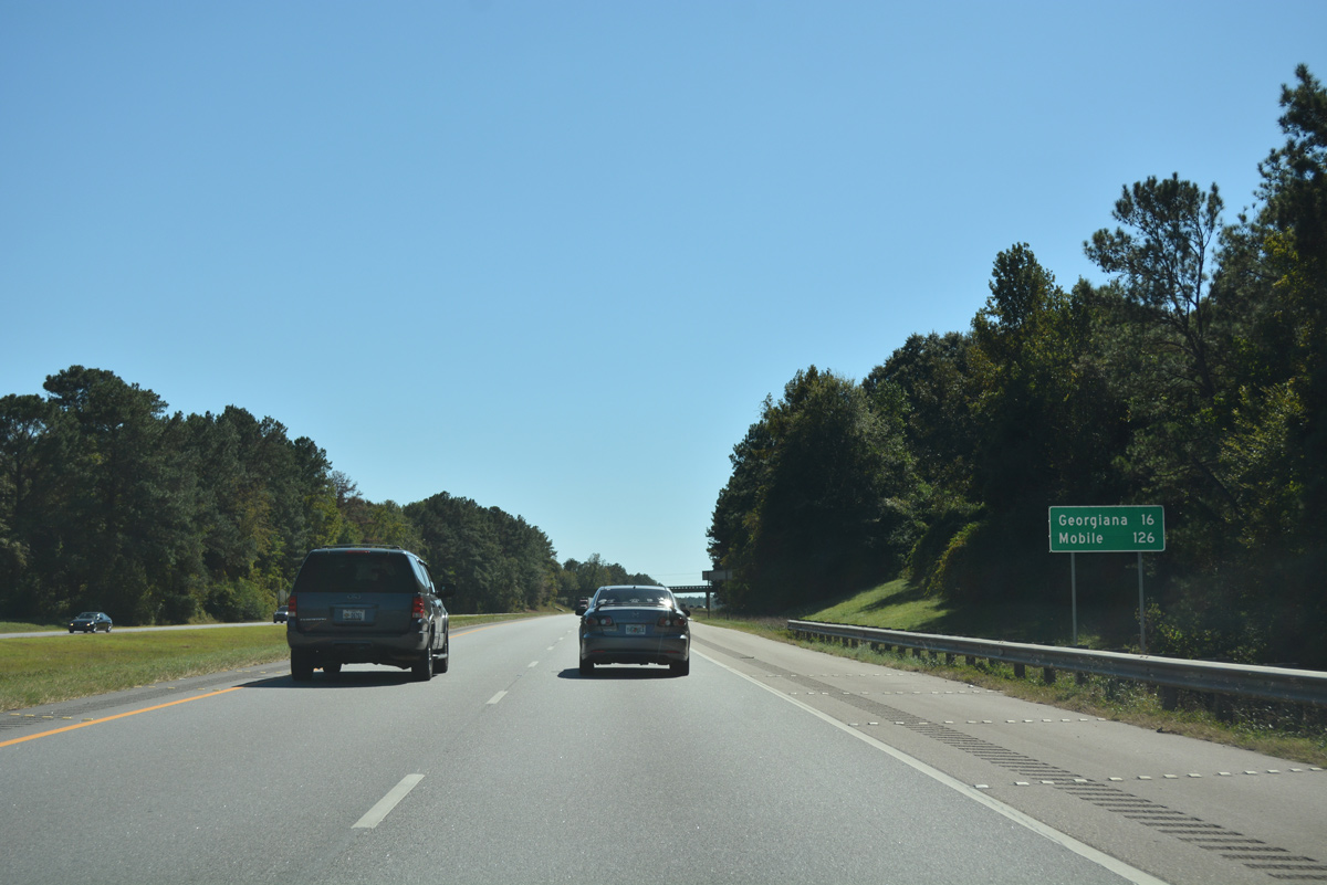
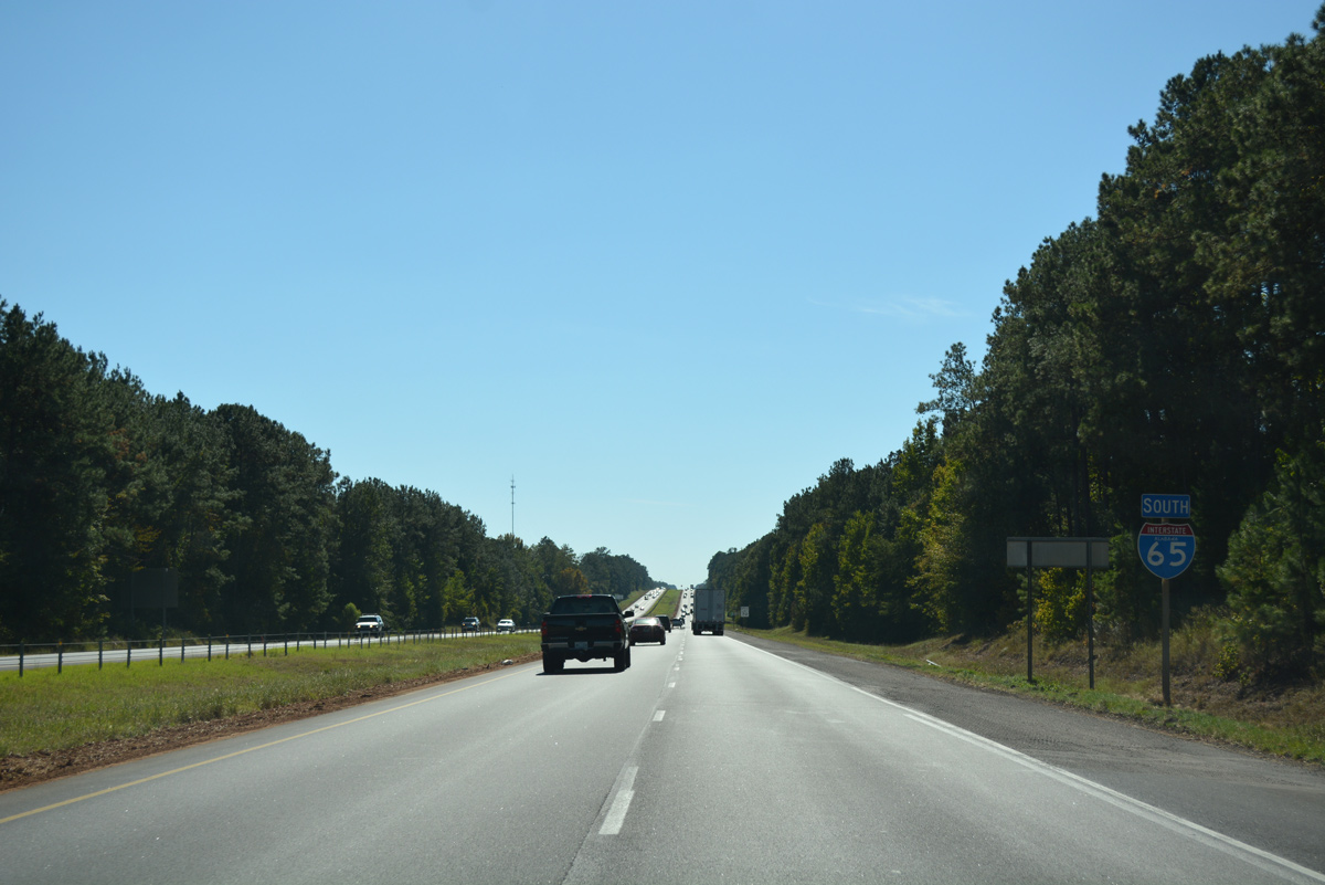
| A 13.2 mile exit less stretch takes Interstate 65 south toward the town of Georgiana. Mobile is 126 miles to the southwest. 06/02/11 |
|
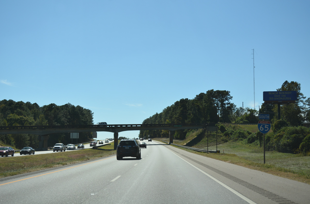
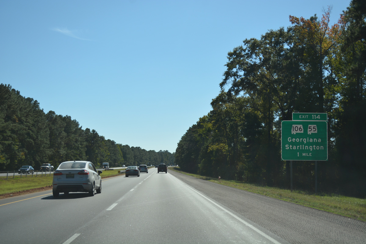
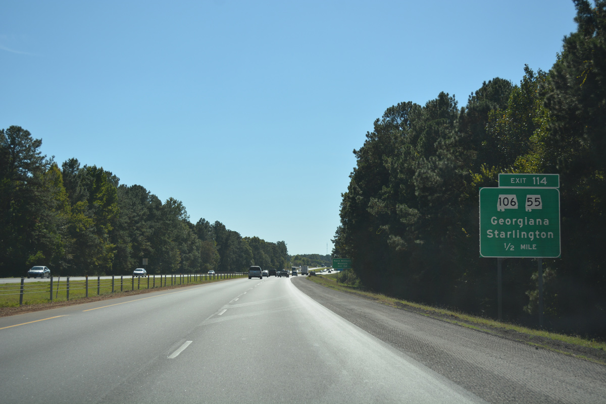
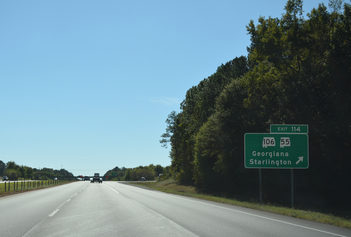
| Interstate 65 and SR 106 cross paths at a diamond interchange (Exit 114) outside Georgiana in one mile. SR 55 was extended north to the rural exchange in February 2014. 10/09/16 |
|
| SR 106 leads west 9.87 miles to end at the Conecuh County line and east 30.95 miles to U.S. 31 near Brantley. Starlington, the crossroads of SR 106 and Butler County 15, is a 3.8 mile drive to the west of Exit 114. 10/09/16 |
|
| SR 55 is a 58.76 mile corridor extending southeast from Interstate 65 to Andalusia and SR 85 at Florala. The majority of the route is four lanes, with overlaps using portions of U.S. 29, U.S. 31 and U.S. 84. 10/09/16 |
|
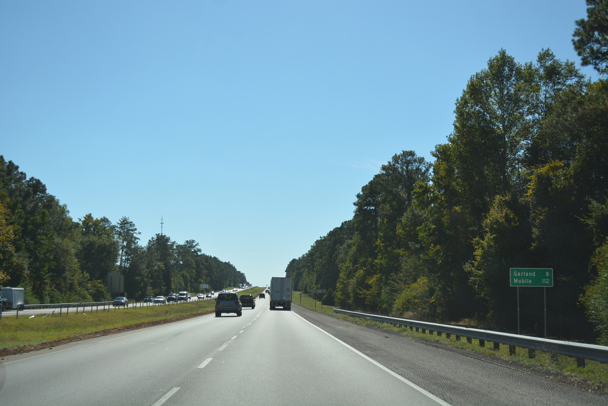
| Mobile is 112 miles to the southwest of Georgiana along Interstate 65. The freeway continues through undeveloped pine forest to the final Butler County interchange (Exit 107) at Mt. Olive. 10/09/16 |
|
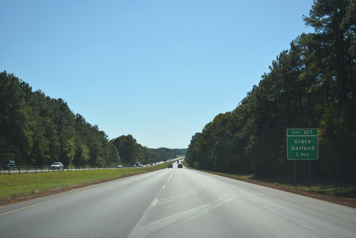
| Butler Counties 7 crosses paths with Interstate 65 midway between the settlements of Grace and Garland at Exit 107. 10/09/16 |
|
| A rural diamond interchange joins I-65 with CR 7 (Hank Williams Road) in one mile. CR 7 travels north from Mt. Olive and Interstate 65 to Grace and SR 106 near Midway. 10/09/16 |
|
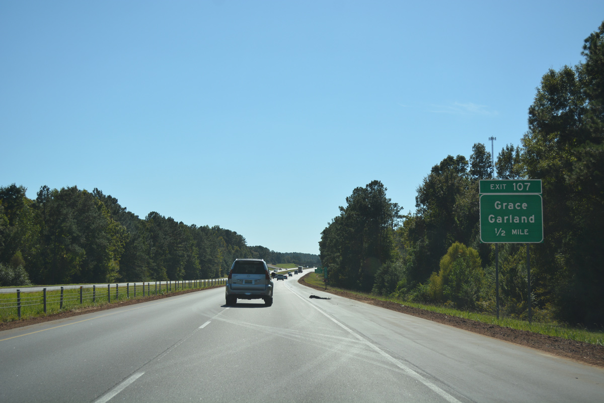
| Exit 107 departs Interstate 65 south to Hank Williams Road. CR 7 heads 2.1 miles east to CR 8 at Garland. CR 8 links I-65 with U.S. 31 & SR 55 at the town of McKenzie, 7.4 miles from Exit 107. 10/09/16 |
|
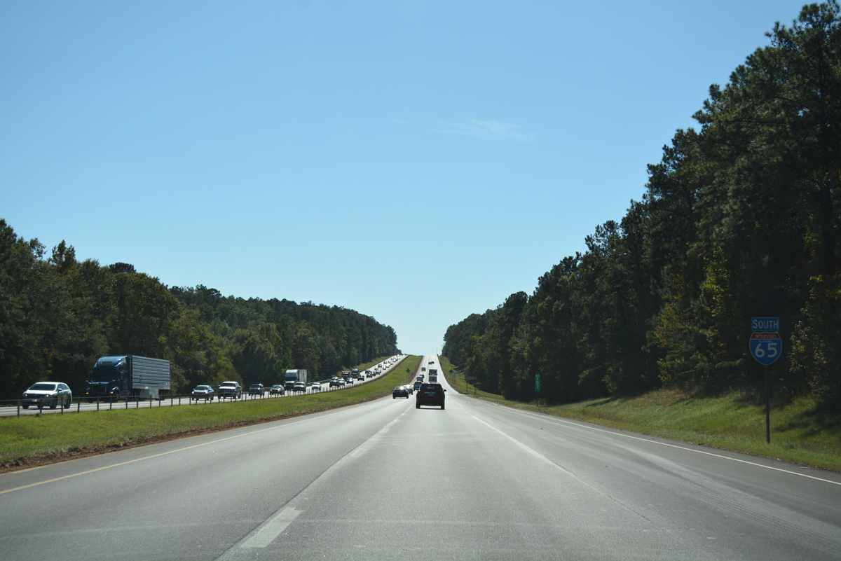
| 23,440 vehicles per day were recorded by ALDOT in 2015 along I-65 south after Exit 107. 10/09/16 |
|
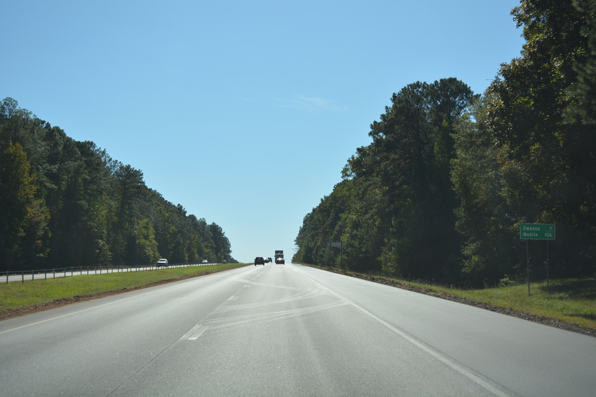
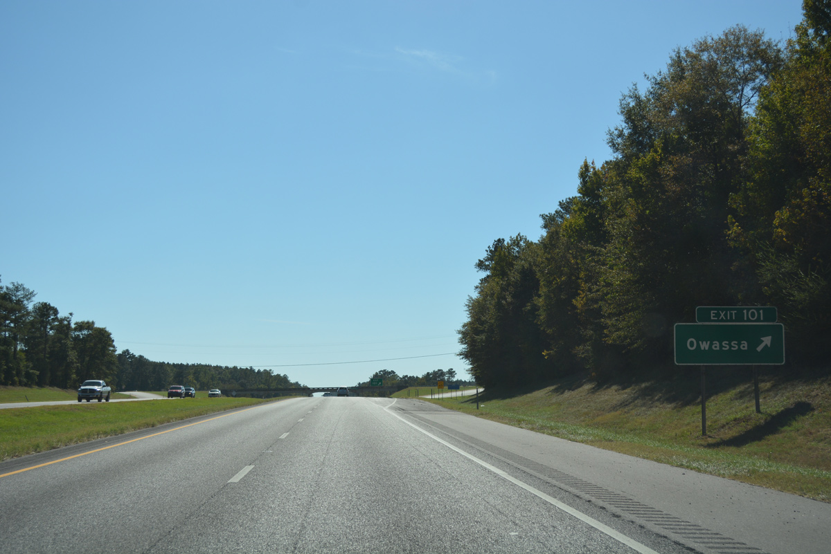
| Owassa follows in seven miles via Interstate 65 south to Conecuh County 29 at Exit 101. Mobile is another 99 miles away. 10/09/16 |
|
| Lowering from the bluffs north of Duck Creek and the Sepulga River along Interstate 65 south. The two waterways separate the southwestern corner of Butler County from Conecuh County. 07/11/10 |
|
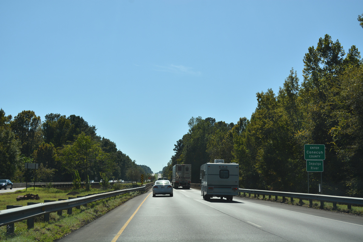
| 34.43 miles of Interstate 65 in Butler County end as the freeway enters Conecuh County. 10/09/16 |
|
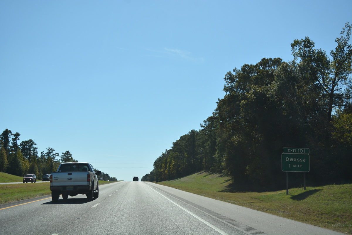
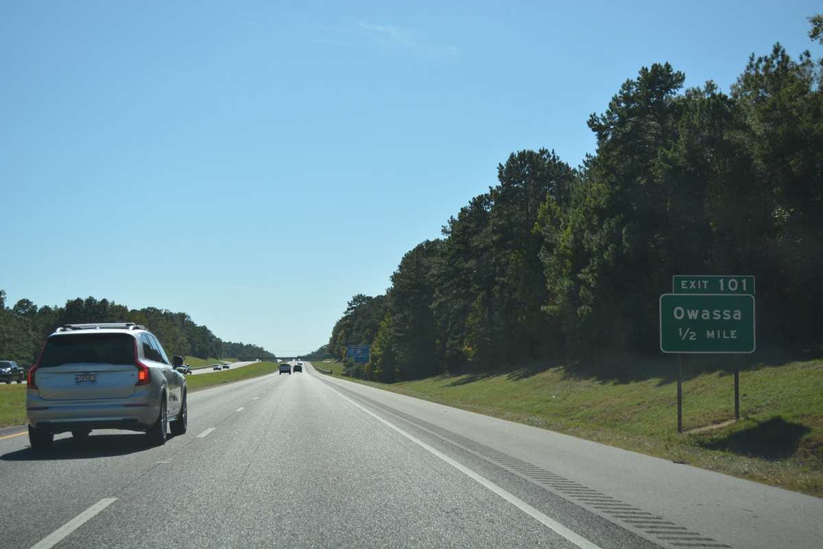
| The diamond interchange (Exit 101) with Conecuh County 29 (Owassa Road) represents the first of five exits in Conecuh County. 10/09/16 |
|
| CR 29 (Owassa Road) parallels Interstate 65 south from Exit 101 to SR 83 (Liberty Hill Drive) at Evergreen. Owassa lies at the cross roads with CR 22 nearby.
CR 22 travels west to Lake Shirley and east to Brownsville and U.S. 31 & 84. 10/09/16 |
|
| Exit 101 departs Interstate 65 south to County Road 29 (Owassa Road). Continuing north from Owassa, Conecuh County 29 becomes Monroe County 29 en route to SR 47 at Old Texas. 06/02/11 |
|
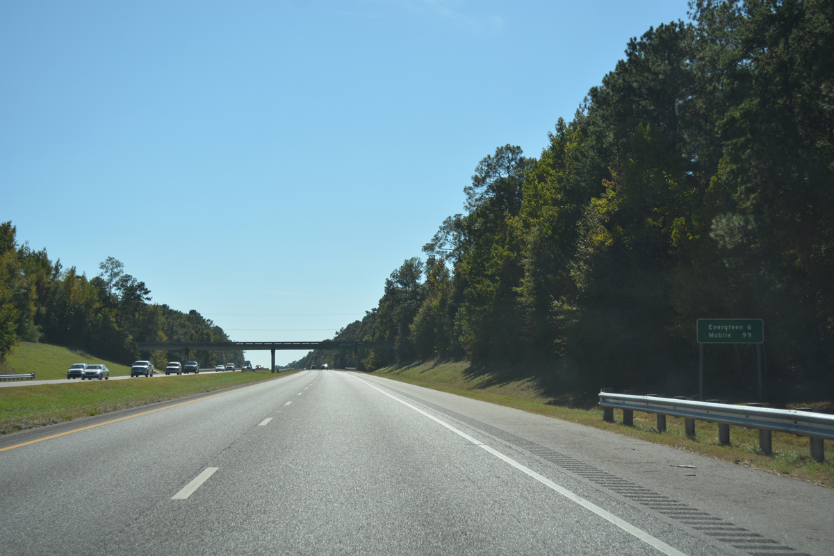
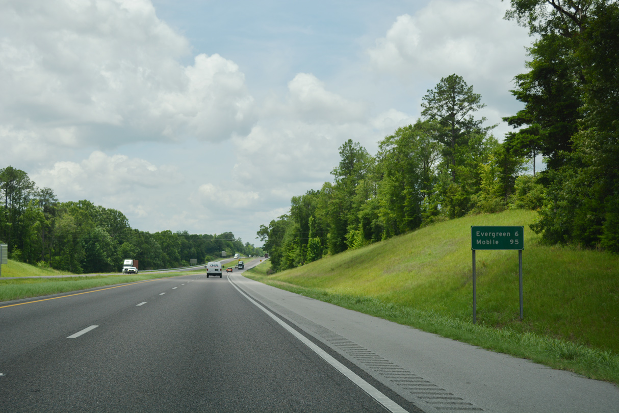
| Evergreen, the Conecuh County seat, is next along Interstate 65 south in six miles. Mobile is now 99 miles away. 10/09/16 |
|
| Southbound shield assembly for I-65 posted after the CR 22 (Owassa Road) overpass. 10/09/16 |
|
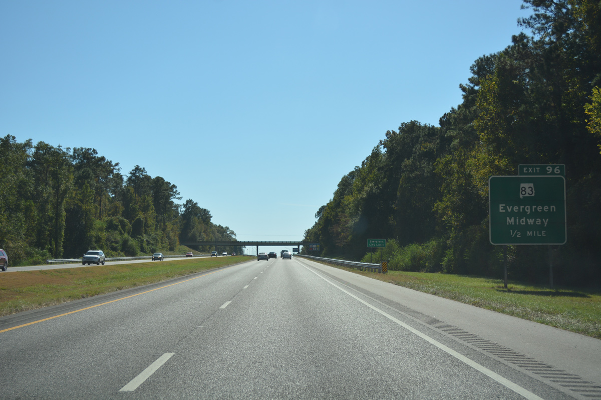
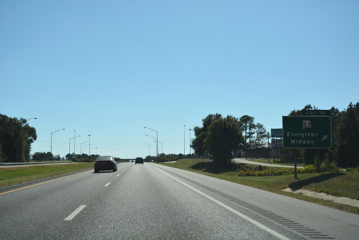
| SR 83 (Liberty Hill Drive) joins Interstate 65 with the north side of Evergreen at Exit 96 in one mile. The state route leads south 2.09 miles to end at U.S. 31 & 84 (Front Street) in the city center. 10/09/16 |
|
| Interstate 65 south enter the city limits of Evergreen ahead of the Middle Road (CR 30) overpass. Forthcoming SR 83 (Liberty Hill Drive) ventures 22.18 miles north to end at SR 47 in Midway. 10/09/16 |
|
| SR 83 (liberty Hill Drive) and I-65 come together at a commercialized diamond interchange (Exit 96) by Reid State Technical College. U.S. 31, which looped east to McKenzie, returns to the I-65 corridor with U.S. 84 through Evergreen. 10/09/16 |
|
| Interstate 65 reassurance marker posted on the 4.46 mile stretch between Exit 96 and 93. 10/09/16 |
|
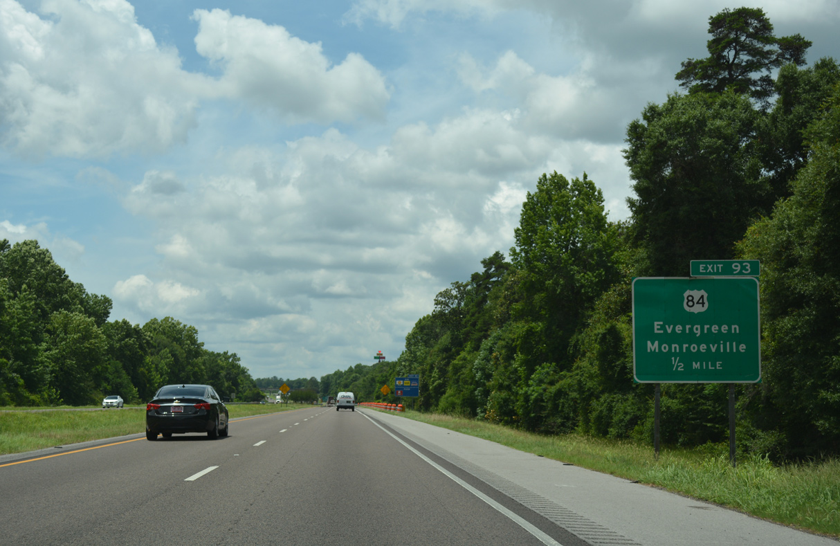
| Still within the Evergreen area, the distance posted on this distance sign references the city center via U.S. 84 east to SR 83 (Rural Street). 06/07/17 |
|
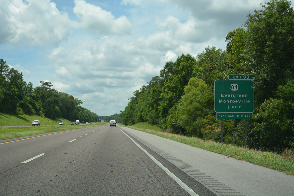
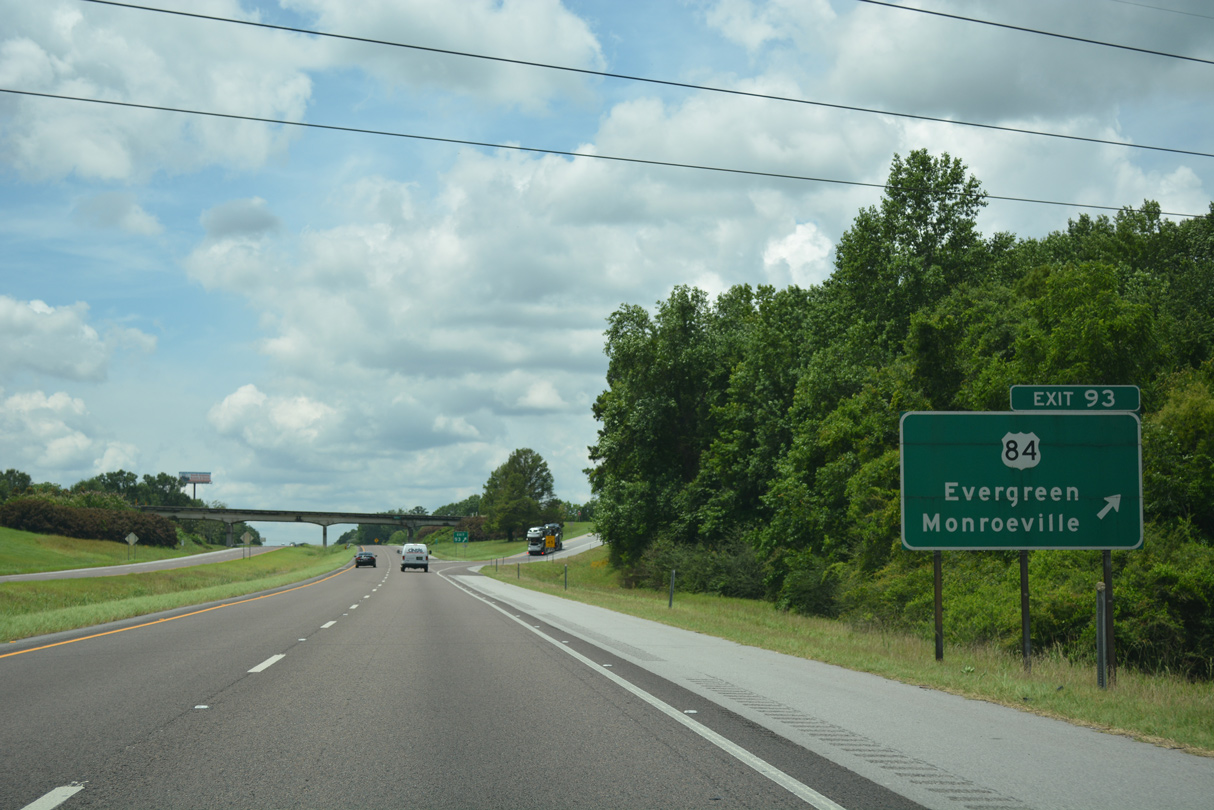
| U.S. 31/84 follow Front Street southwest from central Evergreen and split at Fairview, just east Exit 93. 06/07/17 |
|
| U.S. 84 joins Evergreen with Monroeville and Grove Hill to the west and Andalusia and Opp to the east. U.S. 31/84 overlap 8.86 miles between Fairview and Old Town. 06/07/17 |
|
| U.S. 31 diverges from the I-65 corridor at Fairview en route to Brewton, Flomaton and Atmore. Exit 93 provides the shortest route to U.S. 31 by way of either U.S. 84 east or CR 59 south. U.S. 84 ventures west from Exit 93 six miles to Belleville and 14 miles to SR 41 at Repton. 06/07/17 |
|
| Interstate 65 advances south through a mix of forest and agricultural areas over the ensuing two miles to Autrey Creek. 06/07/17 |
|
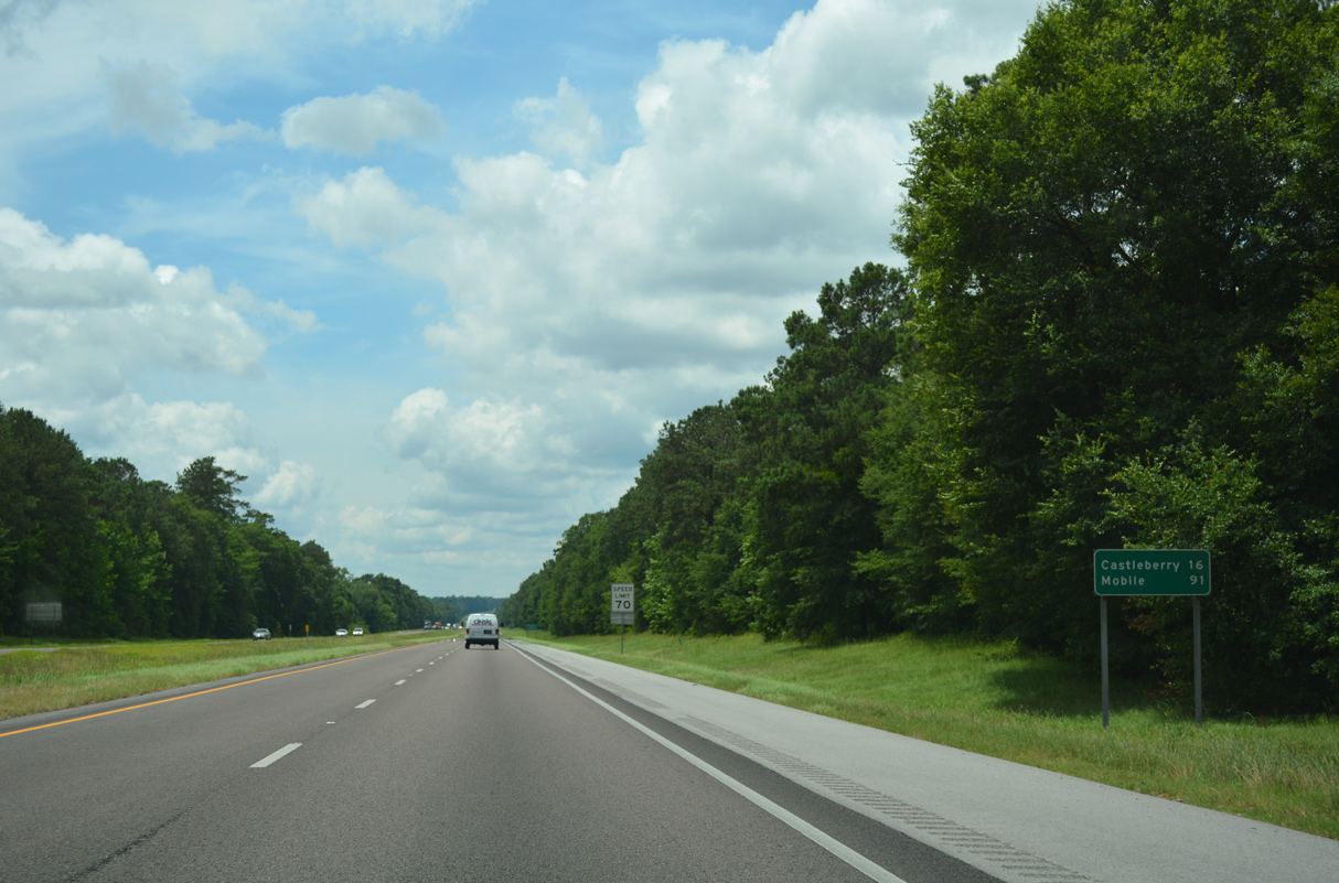
| Distance sign posted 16 miles from Castleberry and 91 miles from Downtown Mobile. 06/07/17 |
|
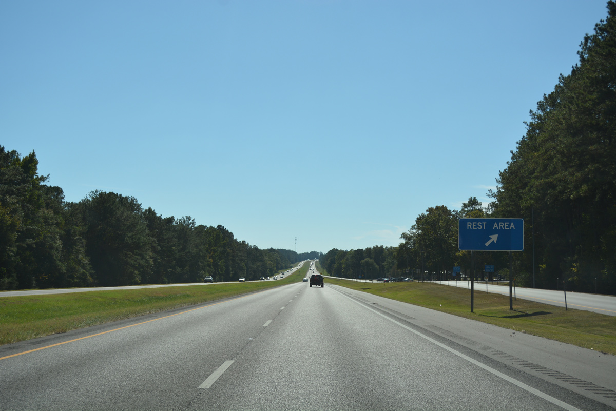
| The final rest area along Interstate 65 south lies near Jordan Creek. 10/09/16 |
|
| The I-65 south rest area is 4.5 miles northeast of the northbound facility located near Exit 83. 10/09/16 |
|
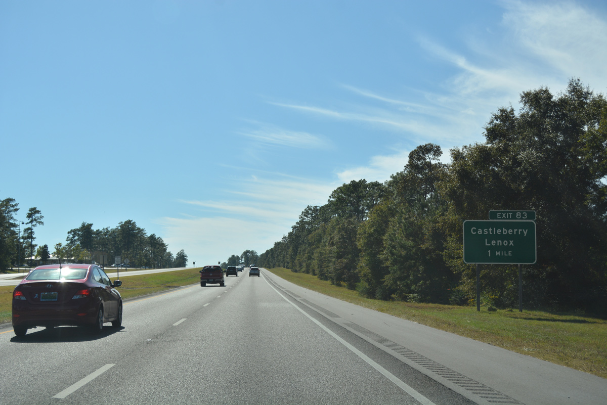
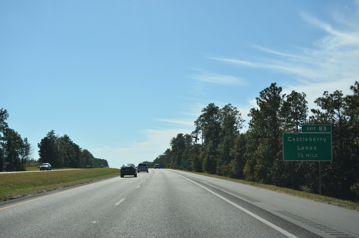
| One mile mile north of diamond interchange (Exit 83) with County Route 6 on Interstate 65 south. 10/09/16 |
|
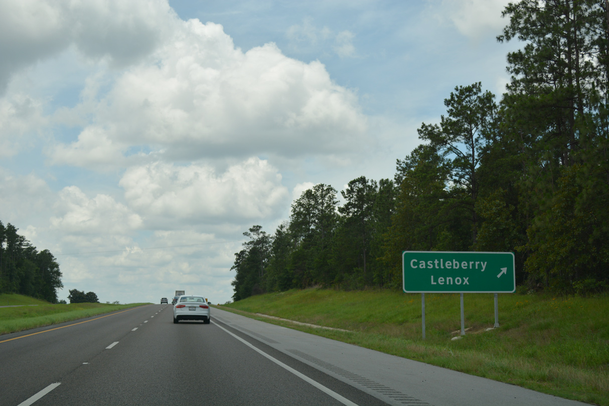
| County Road 6 travels four miles west from Exit 83 to the community of Lenox and nine miles to SR 41 near Repton. 10/09/16 |
|
| East from Exit 83, CR 6 continues 7.5 miles to U.S. 31 in the rural town of Castleberry and 24 miles to CR 42 at Brooklyn. 06/07/17 |
|
| Interstate 65 traverses a series of hills southwest to Burnt Corn Creek after this confirming marker. 10/09/16 |
|
| Distance sign posed 22 miles north of Brewton and 82 miles northeast from the Port City of Mobile. 06/07/17 |
|
| Interstate 65 south crosses Burnt Corn Creek and then Brushy Creek. 06/07/17 |
|
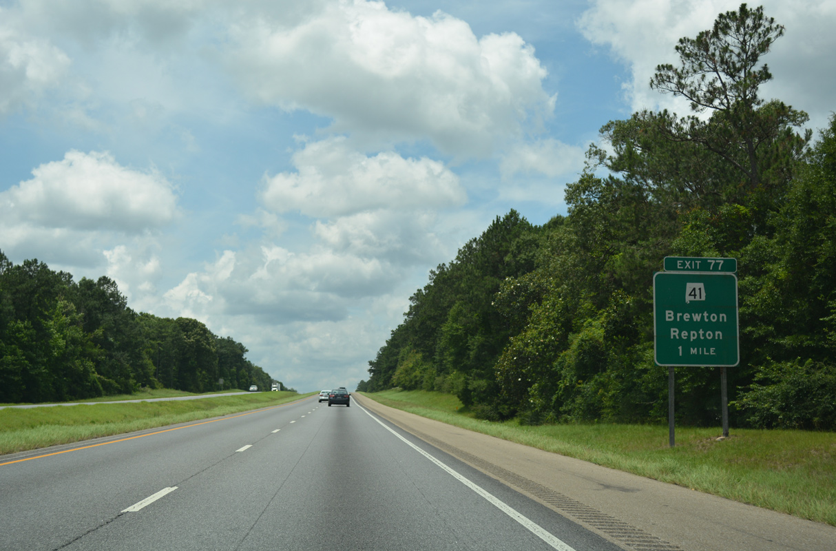
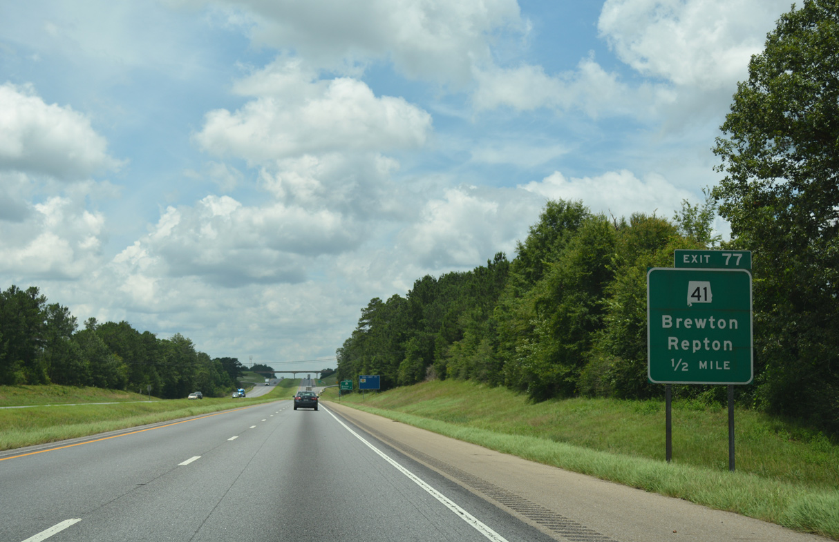
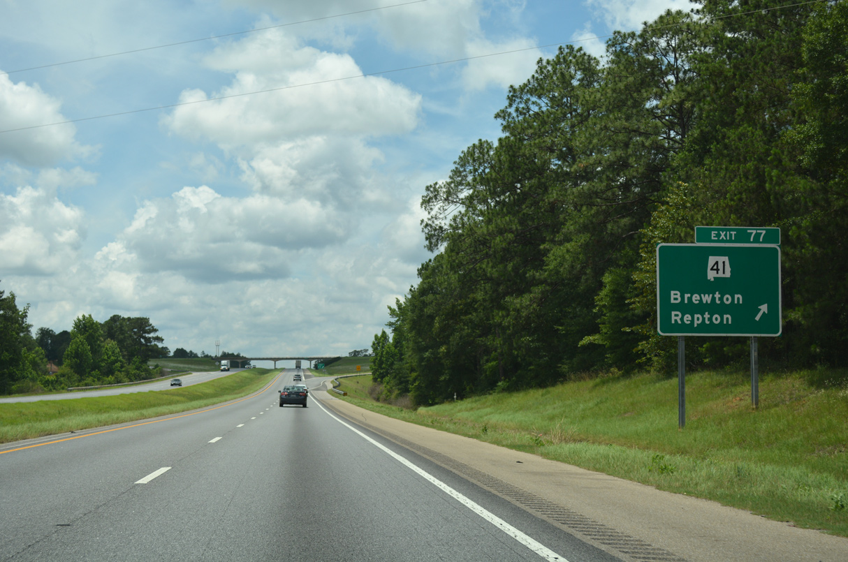
| Interstate 65 climbs from Brushy Creek to meet SR 41 at a diamond interchange (Exit 77) in one mile. 06/07/17 |
|
| SR 41 constitutes a 127.48 mile route from U.S. 80 and SR 14 at Selma south to the Florida state line at Dixonville. SR 41 becomes Florida State Road 87 leading south to Milton and Navarre on the Emerald Coast. 06/07/17 |
|
| SR 41 provides one of two routes to the Escambia County seat of Brewton from I-65 south. SR 41 north continues three miles to Range and 10 miles to its merge with U.S. 84 west at Repton. 06/07/17 |
|
| Traffic counts in 2015 were 23,110 vpd along I-65 south from Exit 77. 06/07/17 |
|
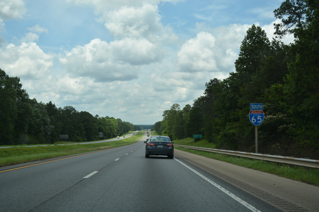
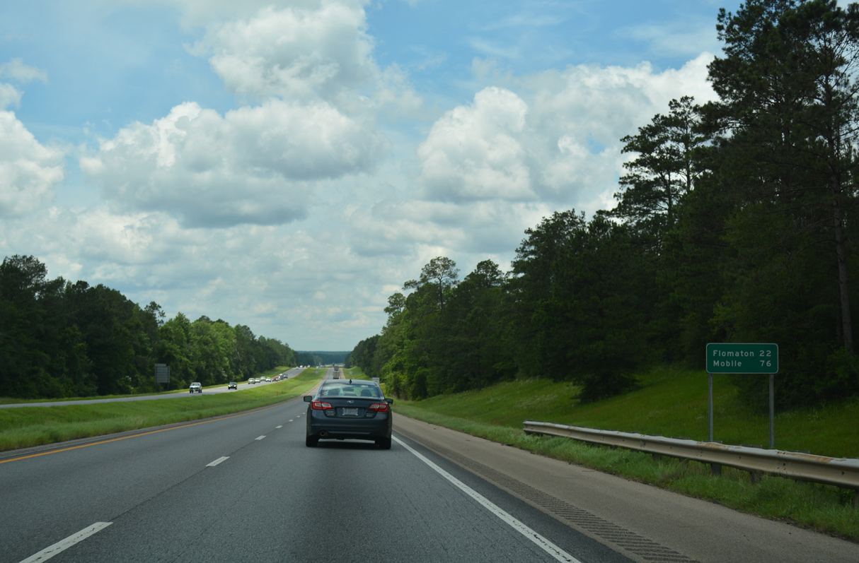
| The succeeding exit along Interstate 65 south connects with SR 113 south to Flomaton. Mobile is a little over an hour away. 06/07/17 |
|
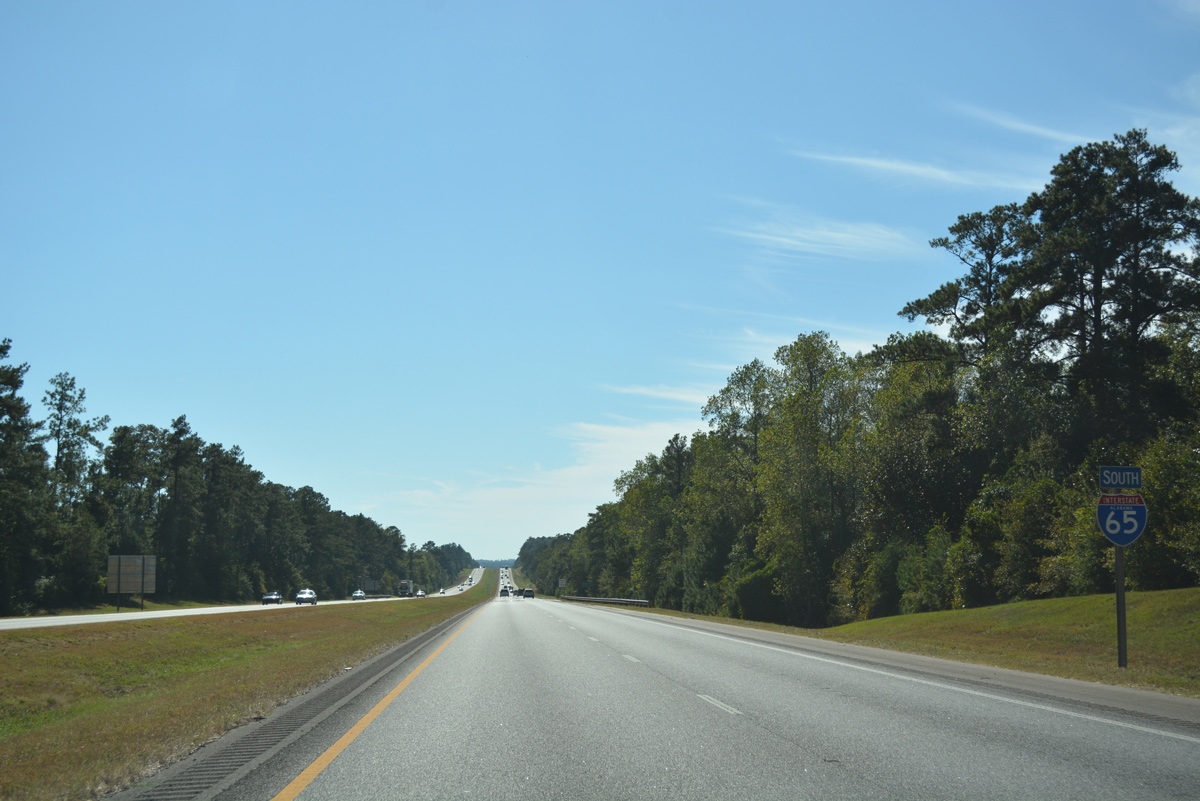
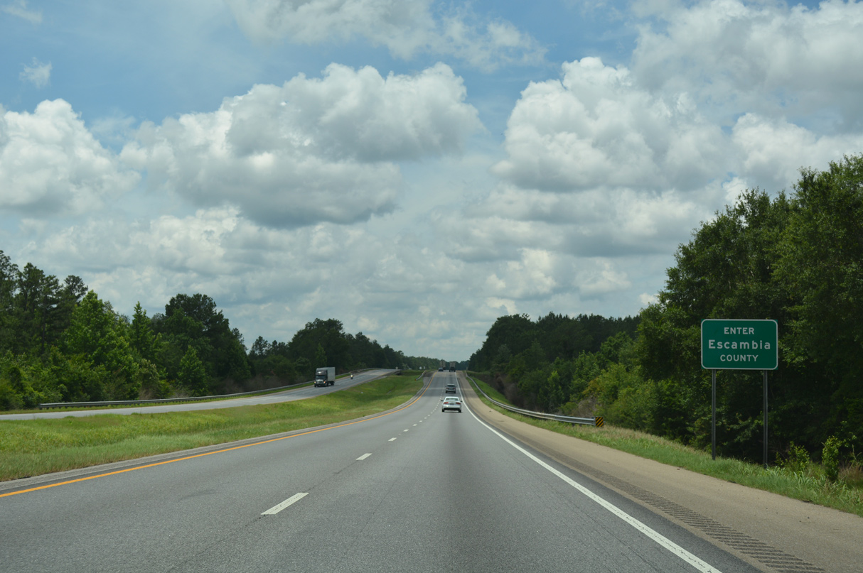
| Interstate 65 south crosses Little Escambia Creek and enters Escambia County. 06/07/17 |
Page Updated 11-20-2020.

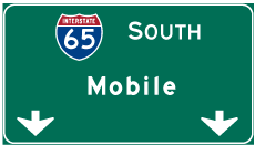
 South
South