|
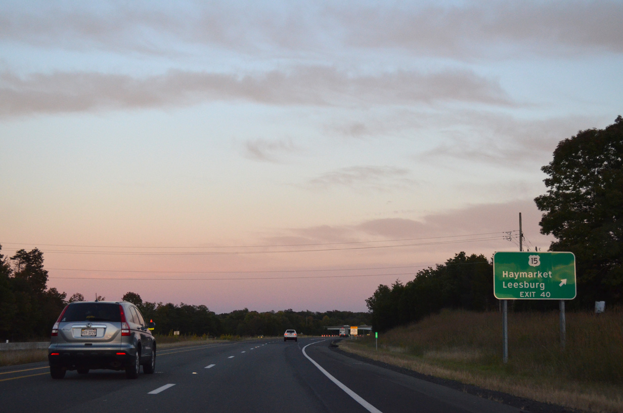
| Approaching Exit 40 for U.S. 15 north to Leesburg and SR 7 and south to Haymarket via SR 55. 09/23/14 |
|
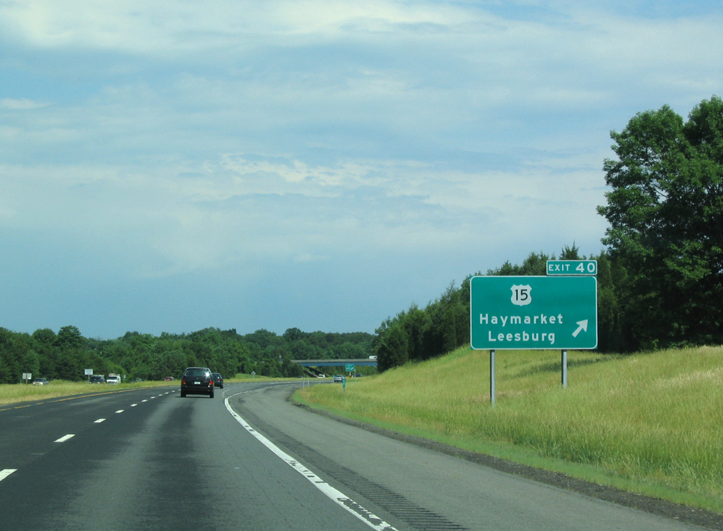
| Exit 5 departs Interstate 66 east for U.S. 15 along a commercial strip at Haymarket. U.S. 15 is a primary highway that passes through the center of the state, generally parallel to busier U.S. 29. The two routes combine three miles to the south en route to Warrenton and Culpeper. 09/23/14 |
|
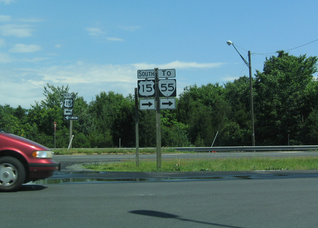
| The temporary style guide sign for Exit 40 replaced this assembly by 2008. U.S. 15 heads south from Virginia to Durham, North Carolina and north to Frederick, Maryland. 06/01/04 |
|
| Shields formerly posted at the off-ramp (Exit 40) from I-66 to U.S. 15. A traffic light was later added, and construction eventually converted the exchange into a diverging diamond interchange (DDI). The DDI opened to traffic on January 28, 2017.1 06/01/04 |
|
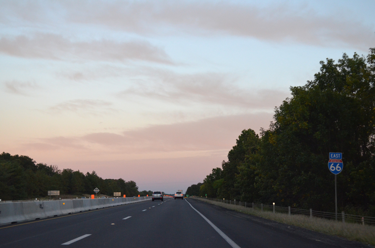
| Numerous subdivisions and townhome communities abut the frontage of I-66 over the ensuing stretch. The freeway east from U.S. 15 to Gainesville was expanded from four to eight overall lanes during work started in 2008. 09/23/14 |
|
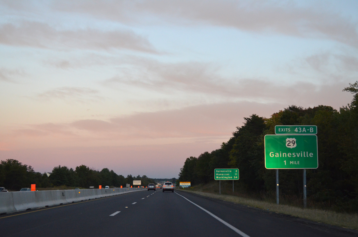
| U.S. 29 meets Interstate 66 at the first of five interchanges between the two at Gainesville in one mile. 09/23/14 |
|
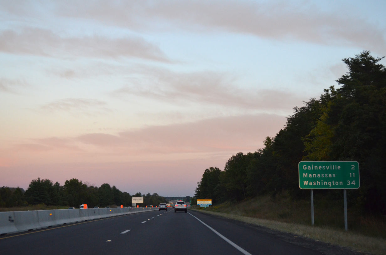
| The independent city of Manassas follows Gainesville south of I-66 in 11 miles. Washington, DC is 34 miles away. 09/23/14 |
|
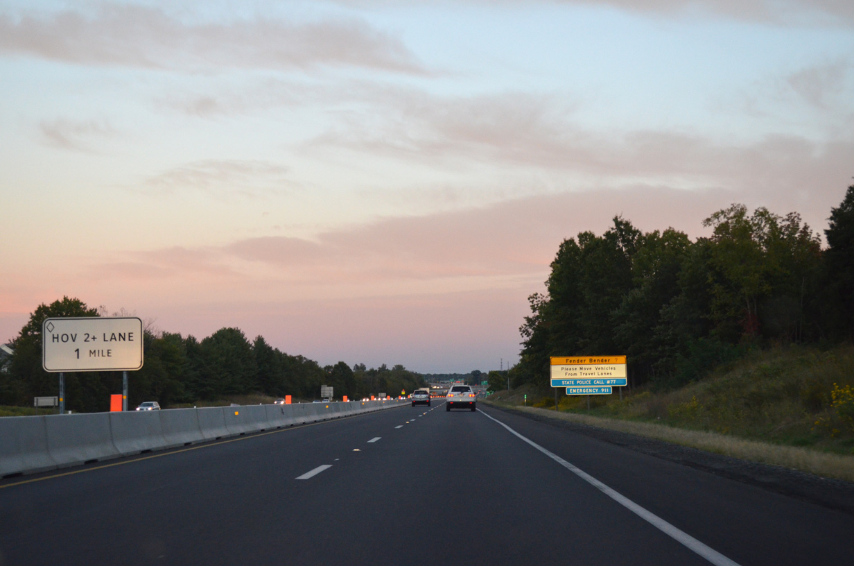
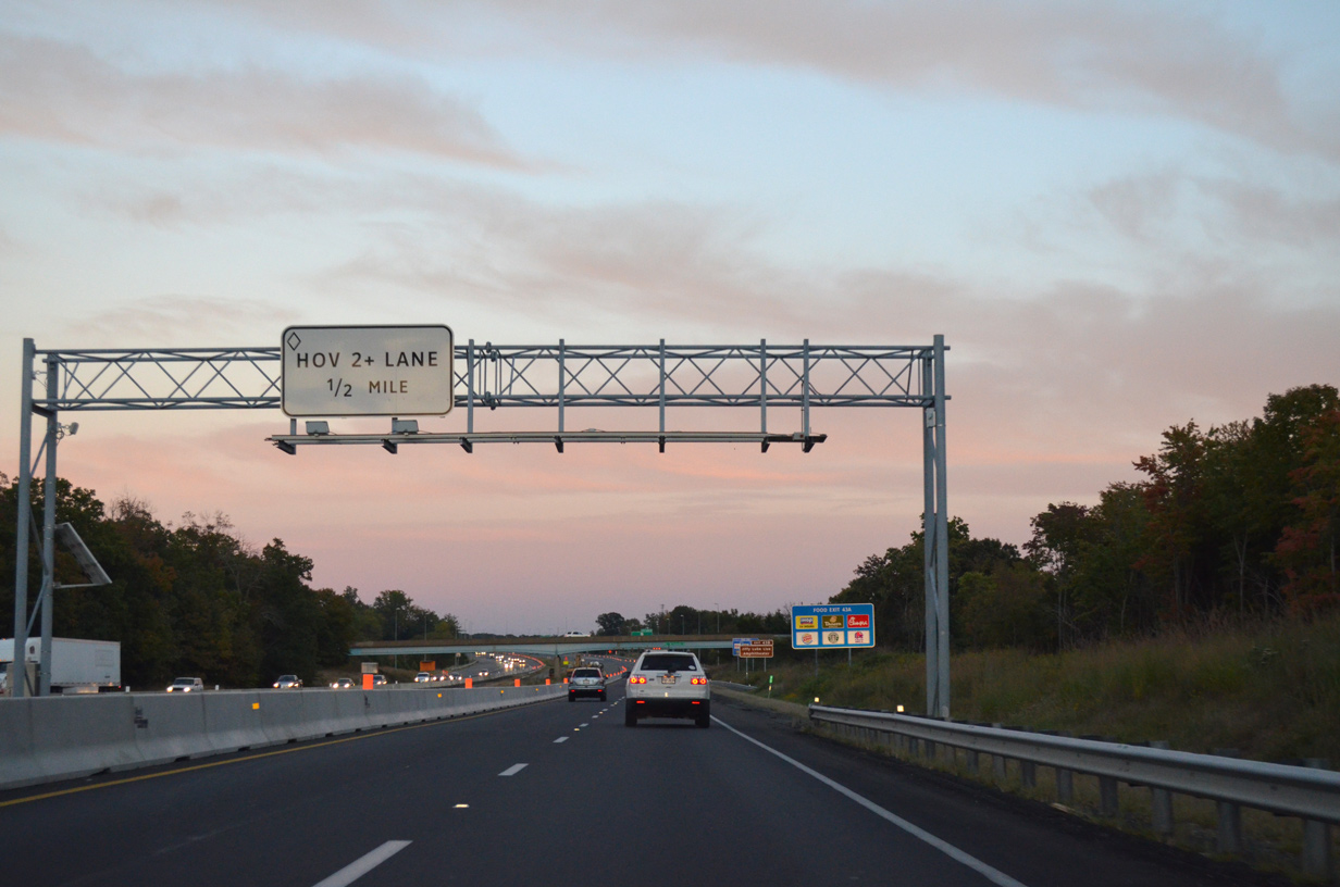
| Construction underway from Spring 2018 to December 2022 converted the former HOV-2 lane along I-66 from U.S. 29 to I-495 to the 66 Outside the Beltway Express Lanes. 09/23/14 |
|
| U.S. 29 (Lee Highway) angles across I-66 east from a SPUI with SR 55 in Gainesville to Conway Robinson State Forest. 09/23/14 |
|
| The 66 Outside the Beltway Express lanes added two managed toll lanes per direction from University Boulevard, just east of U.S. 29, to the Capital Beltway. 09/23/14 |
|
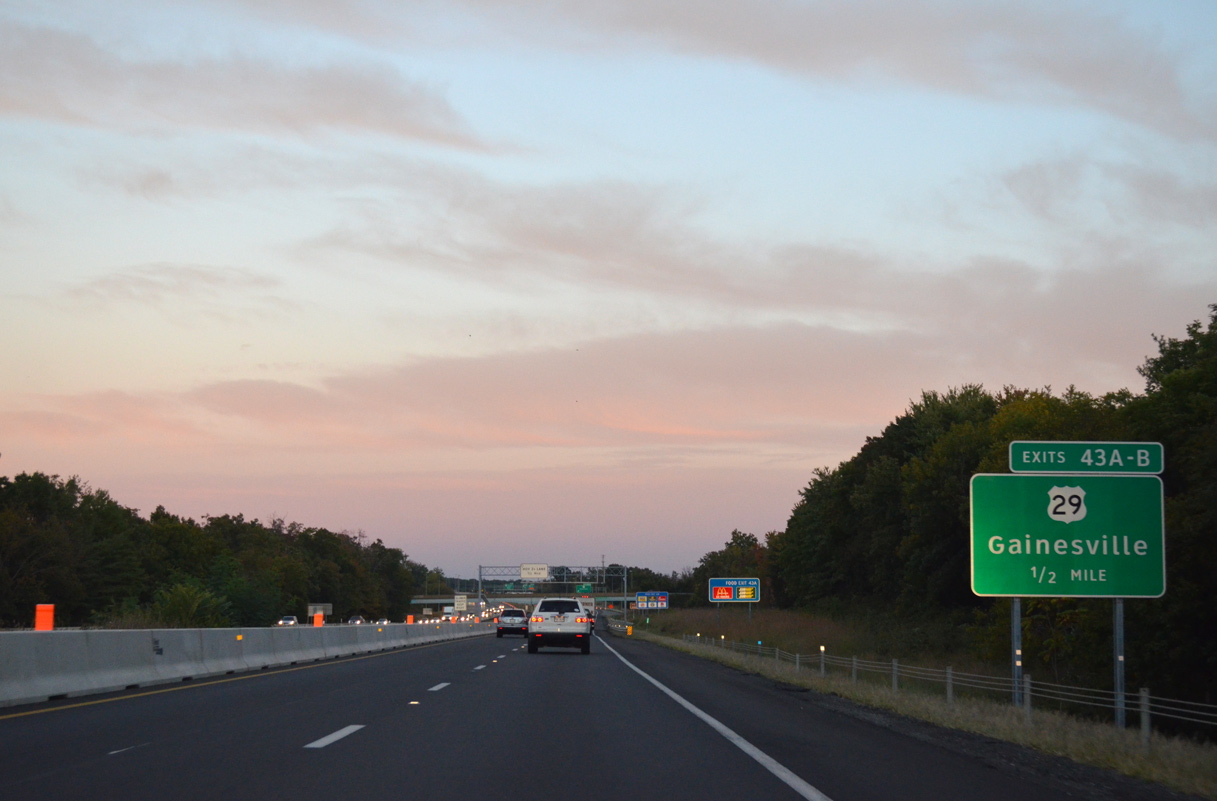
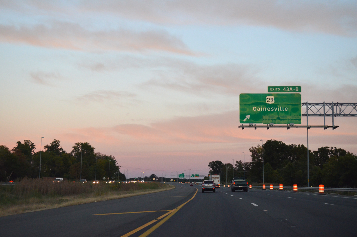
| A c/d roadway separates from I-66 east ahead of Exit 43A for U.S. 29 (Lee Highway) south through Gainesville. 09/23/14 |
|
| U.S. 29 south connects with U.S. 15, U.S. 17 and U.S. 211 in Warrenton, then continues south through the center of the state to Culpeper, Charlottesville, Lynchburg, and Danville. Most of the route is expressway grade. 09/23/14 |
|
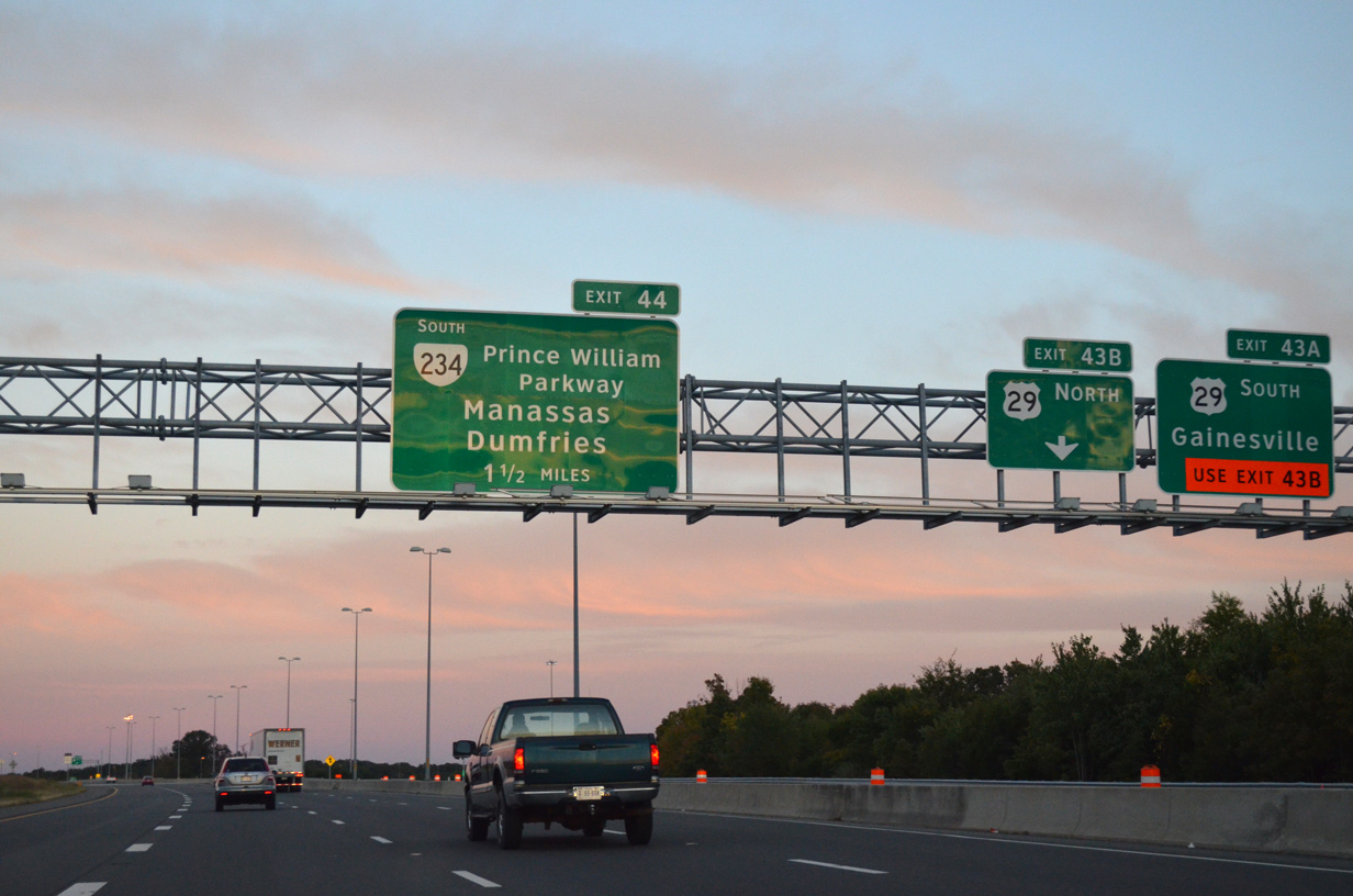
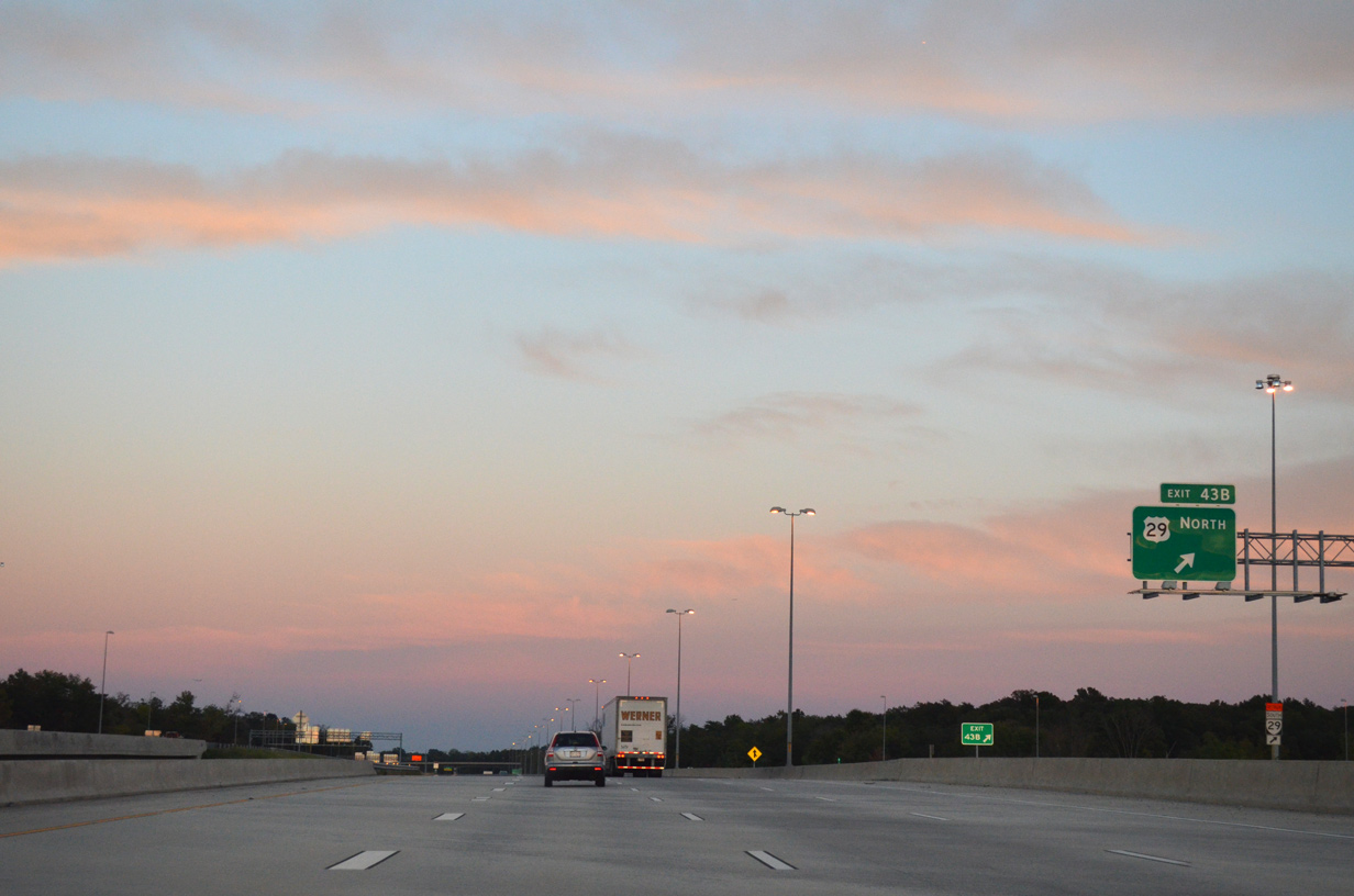
| Exit 43B loops onto U.S. 29 (Lee Highway) northbound. U.S. 29 parallels I-66 east through Manassas National Battlefield Park, next meeting the freeway at Exit 52 in Centreville. 09/23/14 |
|
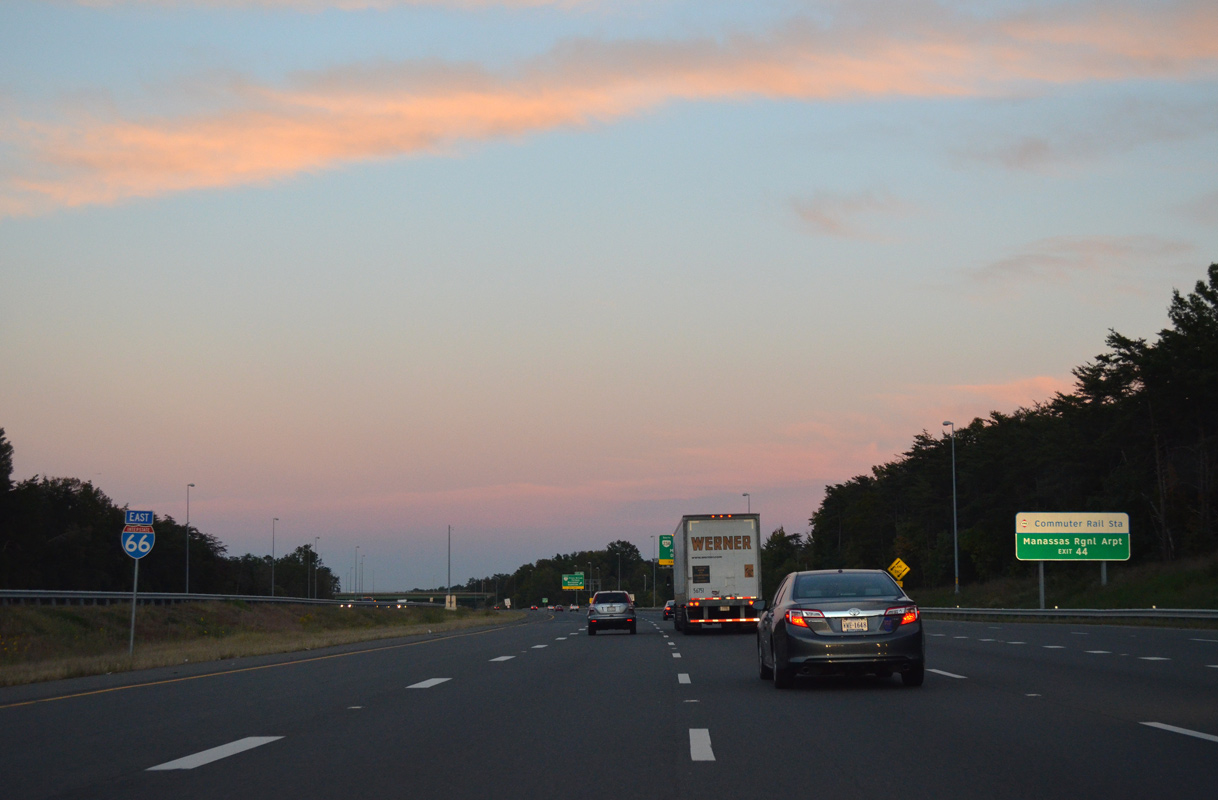
| Forthcoming Exit 44 serves commuters headed to the Virginia Railway Express Broad Run Station and Manassas Regional Airport (HEF) along SR 234 (Prince William Parkway) south. 09/23/14 |
|
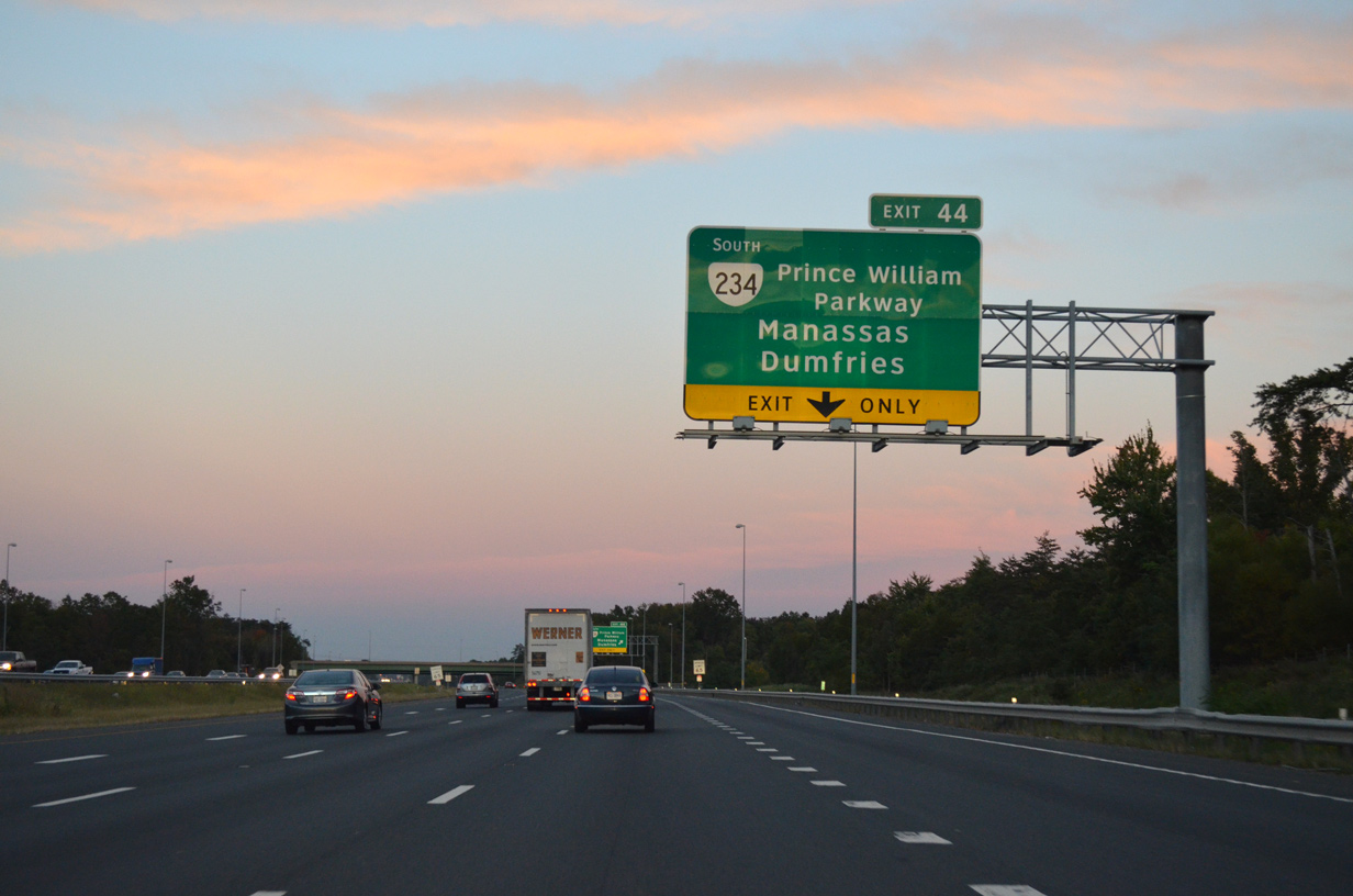
| SR 234 (Prince William Parkway) encircles the west side of Manassa south from Exit 44 en route to Dumfries. The city of Manassas is most famously known for the historic Civil War battles that occurred here. 09/23/14 |
|
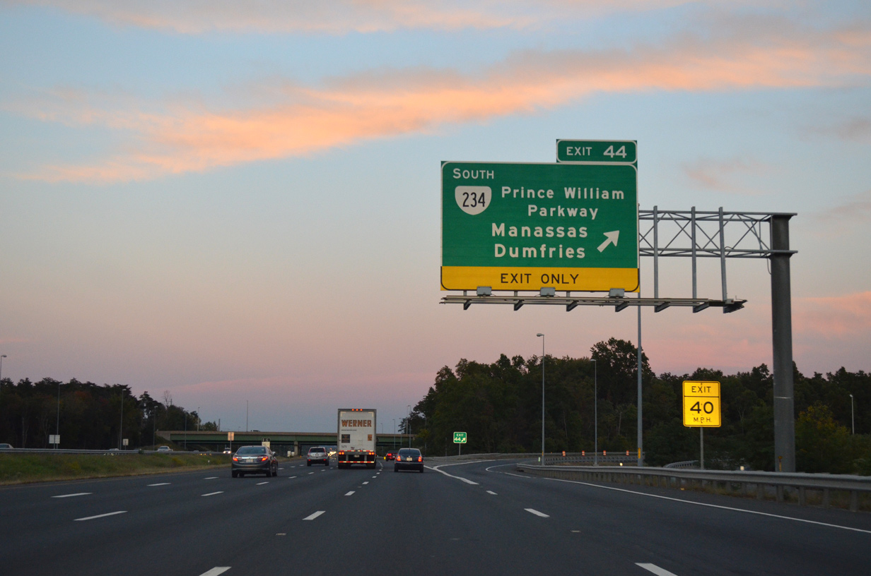
| Entering the trumpet interchange (Exit 44) with SR 234 (Prince William Parkway) south. SR 234 arcs southeast from Manassas to Interstate 95 and U.S. 1 at Dumfries. 09/23/14 |
|
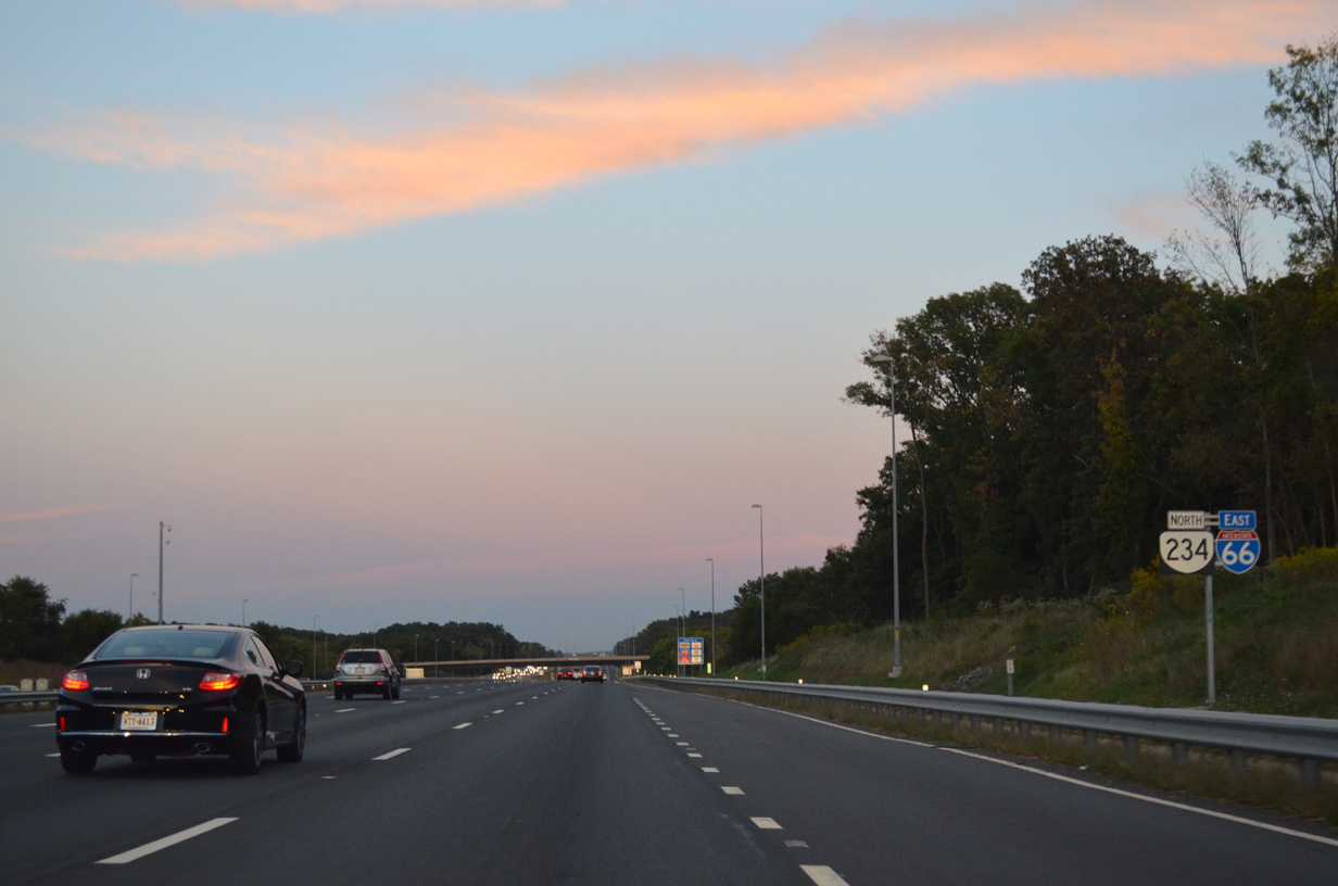
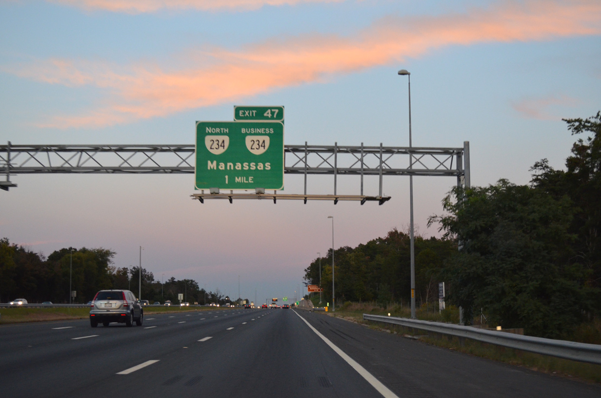
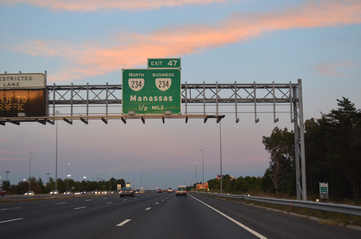
| SR 234 overlaps with I-66 east from Exit 44 to Exit 47 as part of its bypass of Manassas. 09/23/14 |
|
| The old alignment of SR 234 (Sudley Road) southeast to Downtown Manassas is designated SR 234 Business. 09/23/14 |
|
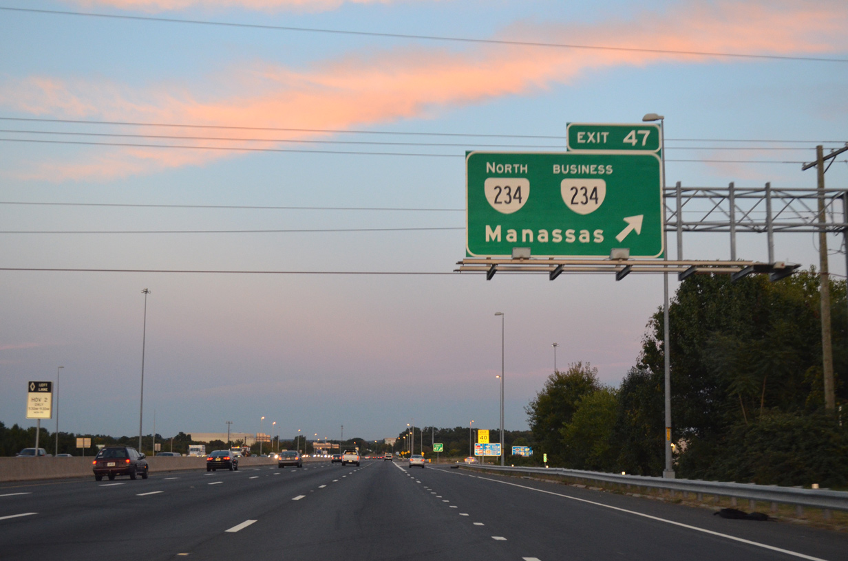
| SR 234 (Sudley Road) separates from I-66 northward through Manassas National Battlefield Park en route to Catharpin. 09/23/14 |
|
| SR 234 splits with Interstate 66 at a parclo interchange (Exit 47) with SR 234 Business (Sudley Road). 09/23/14 |
|
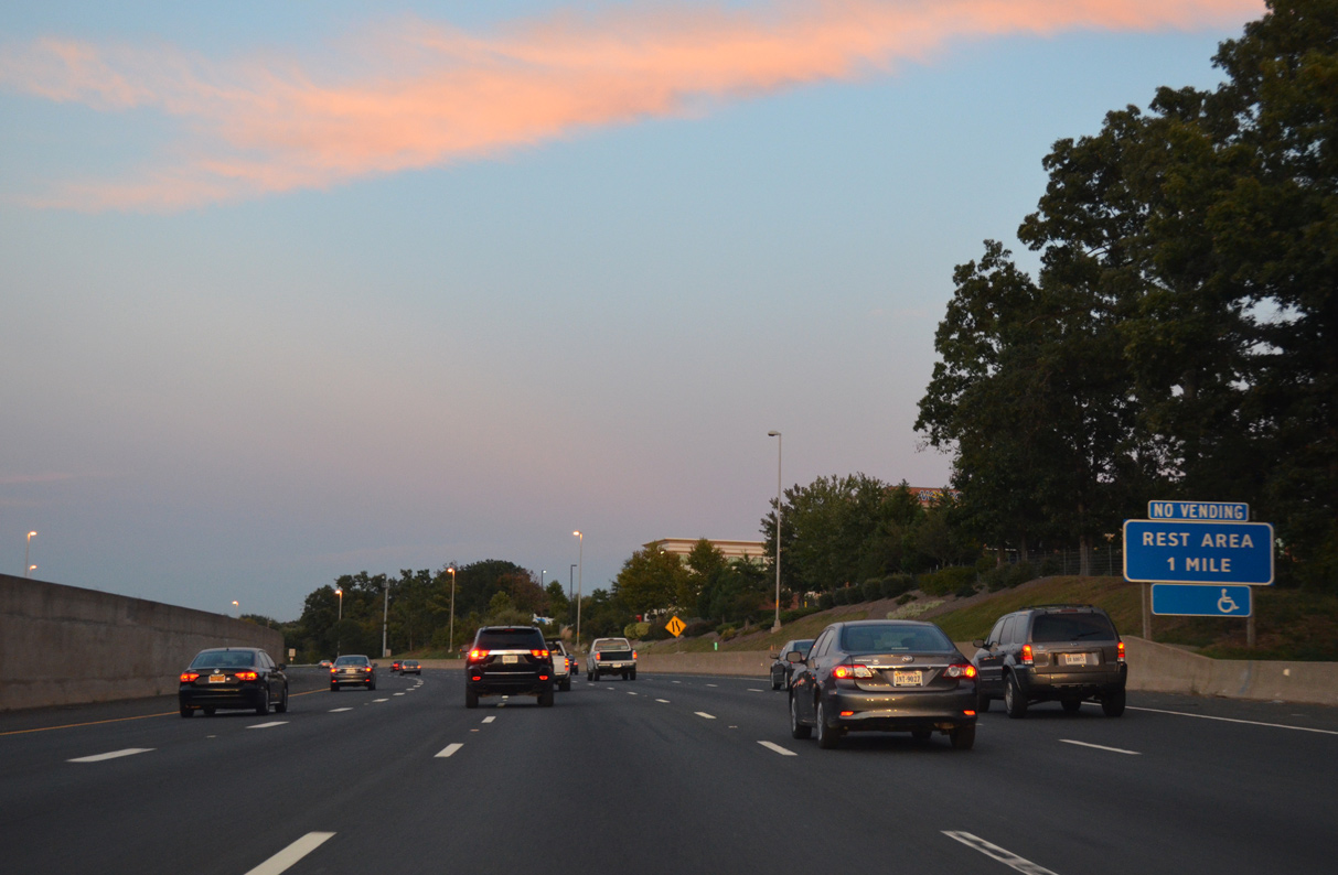
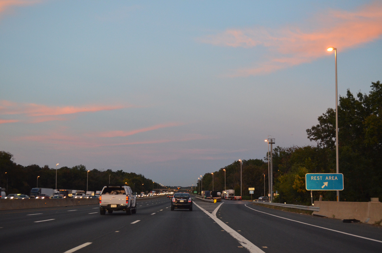
| The Manassas Safety Rest Areas line both sides of Interstate 66, 1.3 miles east of SR 234. 09/23/14 |
|
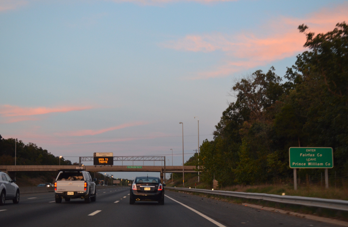
| Crossing Bull Run, Interstate 66 enters Fairfax County. 09/23/14 |
|
| U.S. 29 converges with I-66 again at Exit 52. Historically, U.S. 29 was cosigned with U.S. 211 along this stretch, as Lee Highway was designated in its entirety as U.S. 211 east of New Market. U.S. 211 was truncated in 1981 since it does not have any extant mileage beyond what it shared with U.S. 29. 09/23/14 |
|
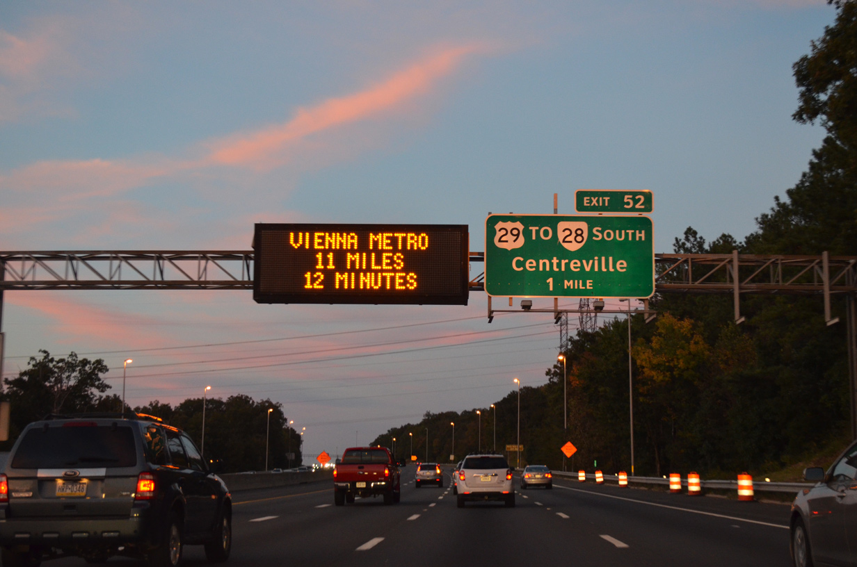
| U.S. 29 links I-66 east with SR 28 (Centreville Road) south through Centreville. The succeeding exchange joins I-66 with the state route, but without a southbound connection. 09/23/14 |
|
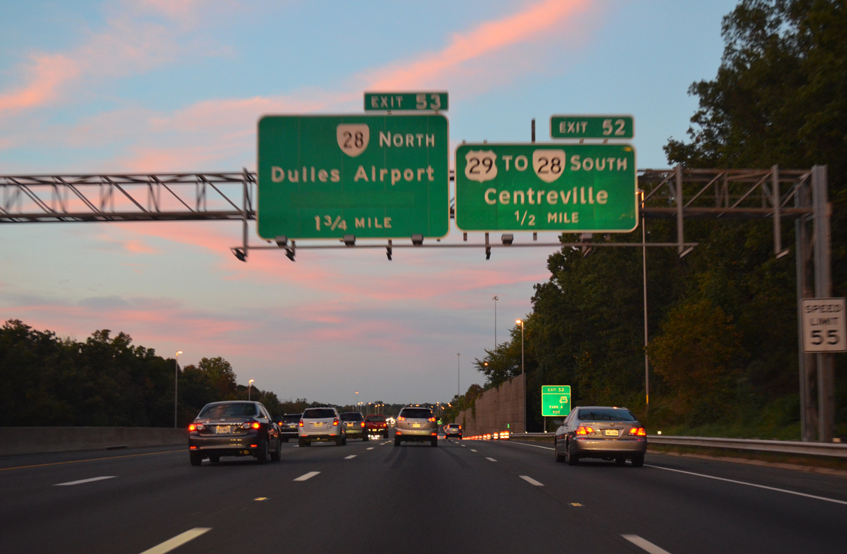
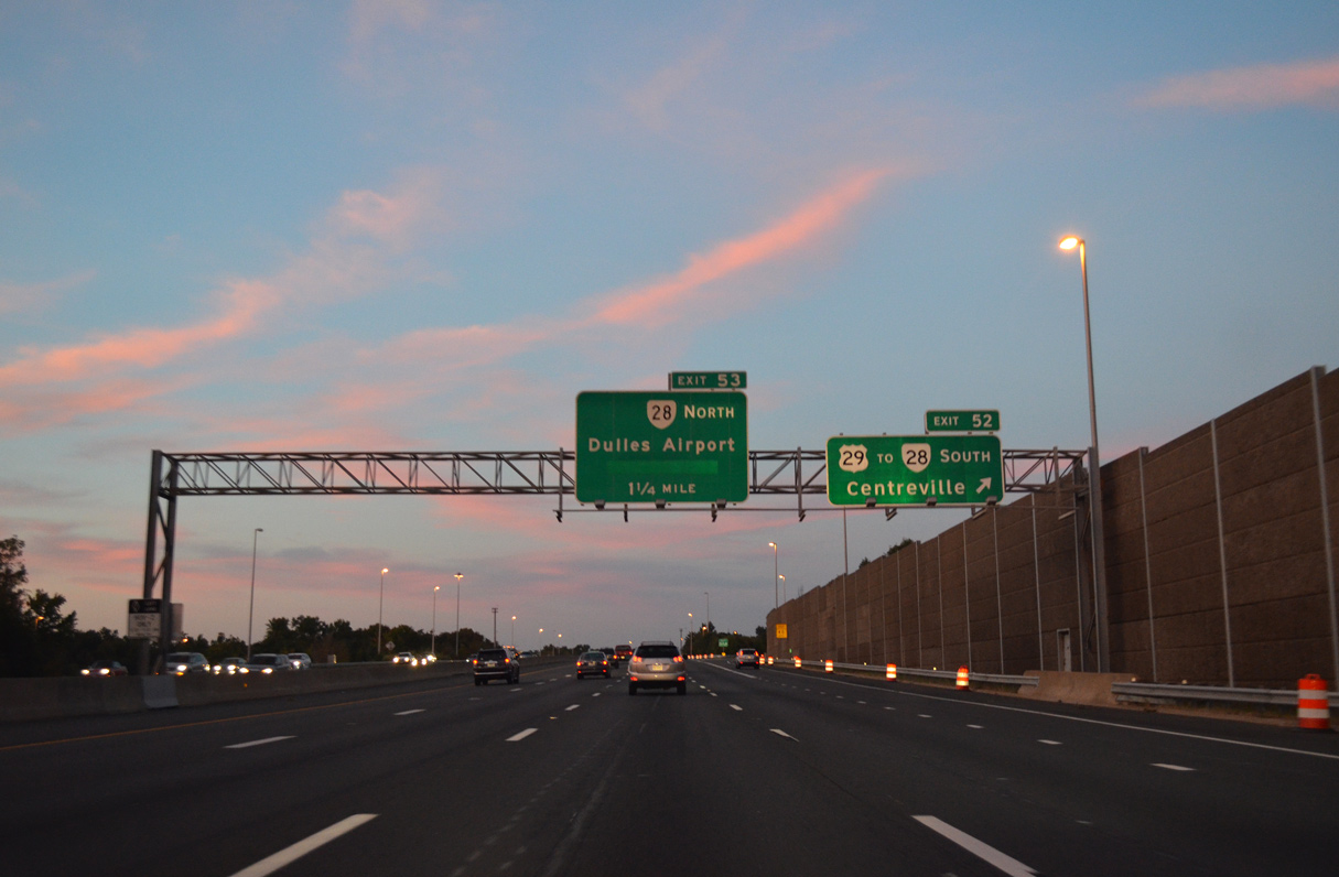
| I-66 east at the parclo interchange (Exit 52) with U.S. 29 north into Centreville and south back to Manassas National Battlefield Park. 09/23/14 |
|
| SR 28 is an expressway from Interstate 66 north to SR 7 with some freeway segments. The exchange between the two routes is being upgraded to a multi level interchange as part of the 66 Outside the Beltway Express Lanes project. 09/23/14 |
|
| SR 28 travels north from Exit 53 at Centreville to Dulles International Airport (IAD), SR 267 (Hirst Brault Expressway) north to Leesburg and SR 7 near Ashburn. 09/23/14 |
|
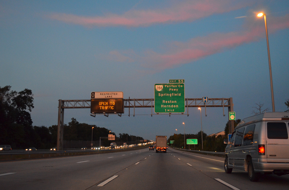
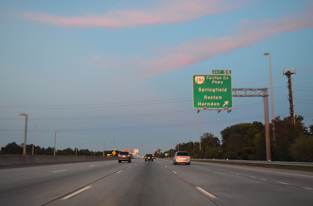
| Continuing through Centreville, I-66 next meets SR 286 (Fairfax County Parkway) at Exit 55. SR 286 is an expressway / controlled access arterial that extends to SR 7 (Leesburg Pike) north of Reston and south to U.S. 1 near Fort Belvoir. 09/23/14 |
|
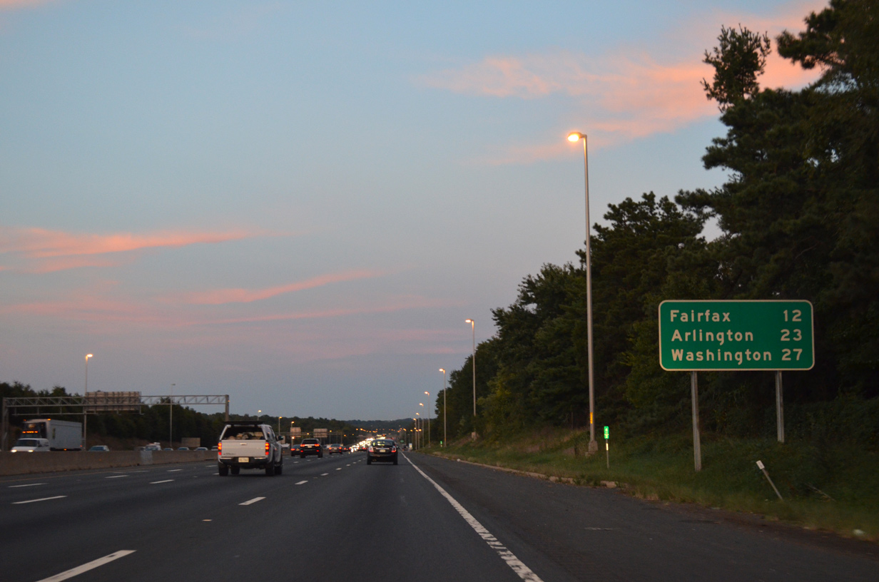
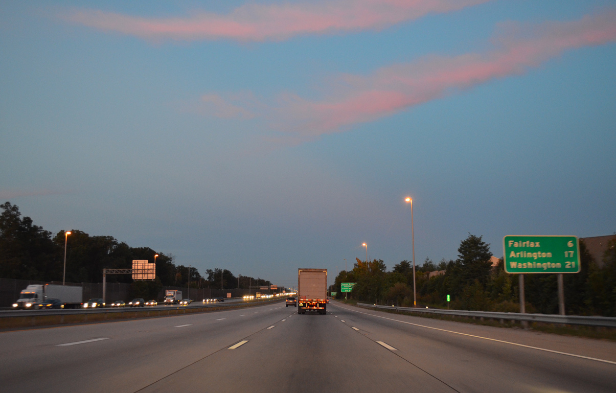
| The city of Fairfax is six miles to the southeast via I-66 and U.S. 50. Arlington is 17 miles away. 09/23/14 |
|
| A cloverleaf interchange joins Interstate 66 with SR 286 (Fairfax County Parkway) at Exit 55. 09/23/14 |
|
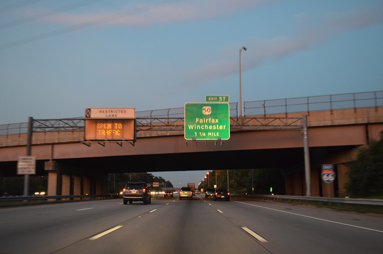
| U.S. 50 bee lines southeast from Albie to Chantilly and Fairfax, meeting I-66 at a directional cloverleaf interchange (Exit 57) in 1.25 miles. 09/23/14 |
|
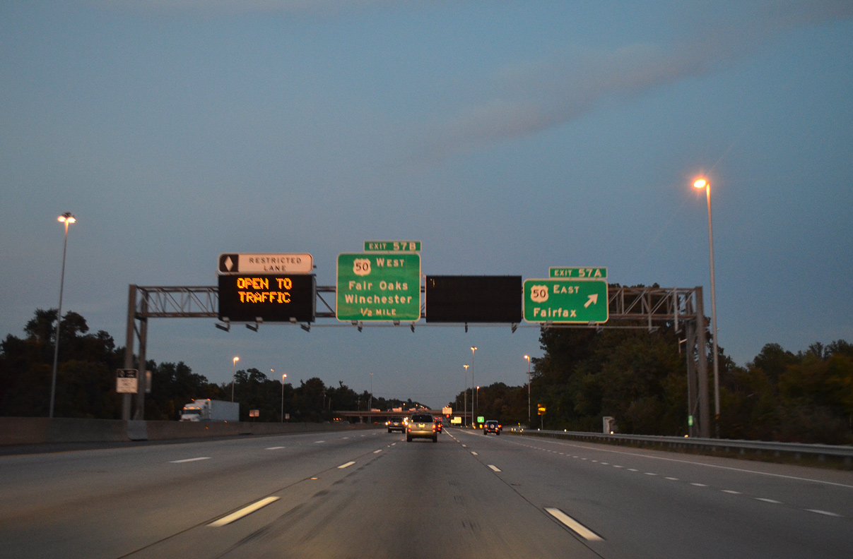
| U.S. 50 parallels I-66 east from Fairfax to Merrifield and Arlington. The two converge again at the Theodore Roosevelt Bridge spanning the Potomac River. 09/23/14 |
|
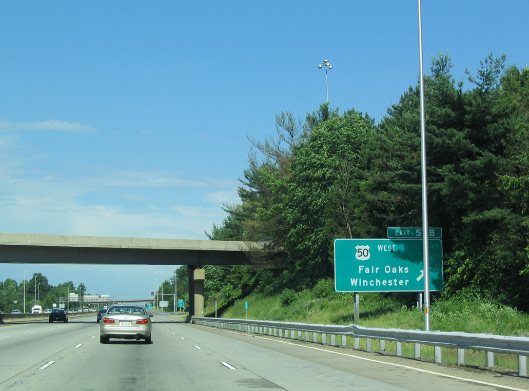
| Exit 57B loops onto U.S. 50 west to Fair Oaks and Winchester. 06/01/04 |
|
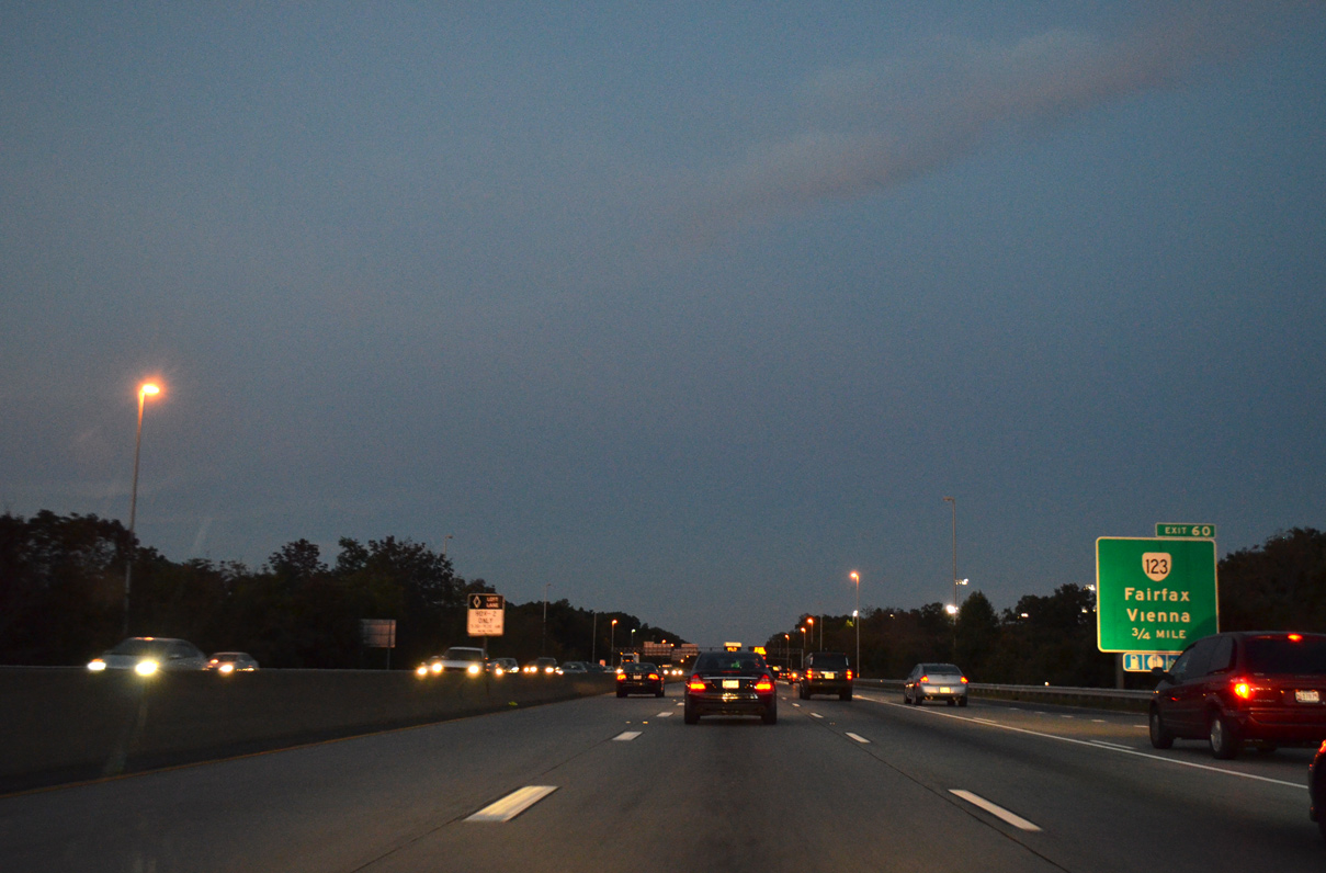
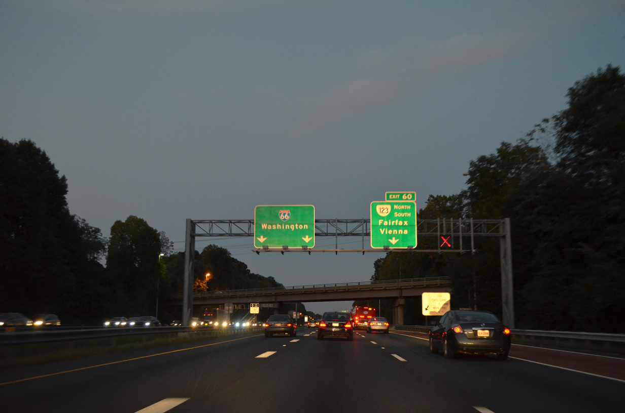
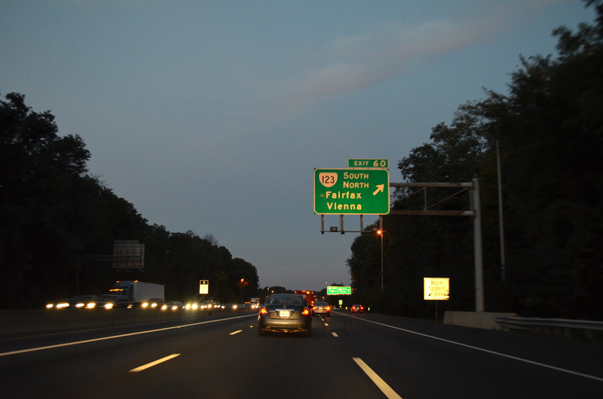
| SR 123 (Chain Bridge Road) heads north from U.S. 50 to a parclo interchange (Exit 60) with Interstate 66 en route to Vienna. 09/23/14 |
|
| SR 123 extends north from U.S. 1 in Woodbridge along Ox Road to Braddock Road (SR 620) at George Mason University. The remainder of the route follows Chain Bridge Road from Fairfax northeast to McLean, George Washington Parkway and the Chain Bridge spanning the Potomac River. 09/23/14 |
|
| The 66 Outside the Beltway Express Lanes project reconfigured Exit 60. The loop ramp for SR 123 north was eliminated and the southbound ramp expanded with a signalized left turn for Chain Bridge Road. 09/23/14 |
Page Updated 06-29-2020.

 East
East