|
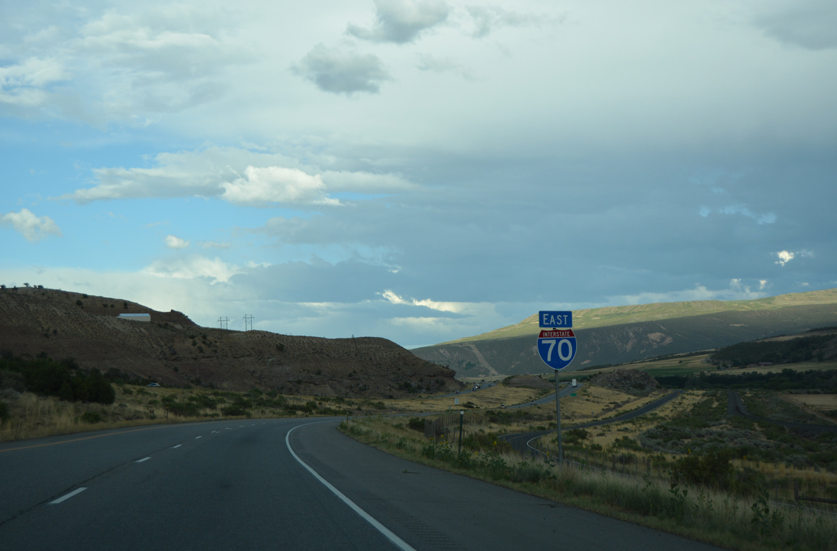
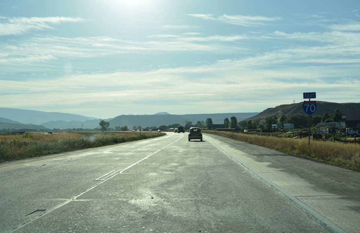
| The Roan Cliffs rise prominently to the northeast of Parachute beyond this confirming marker for I-70 east. 08/10/16 |
|
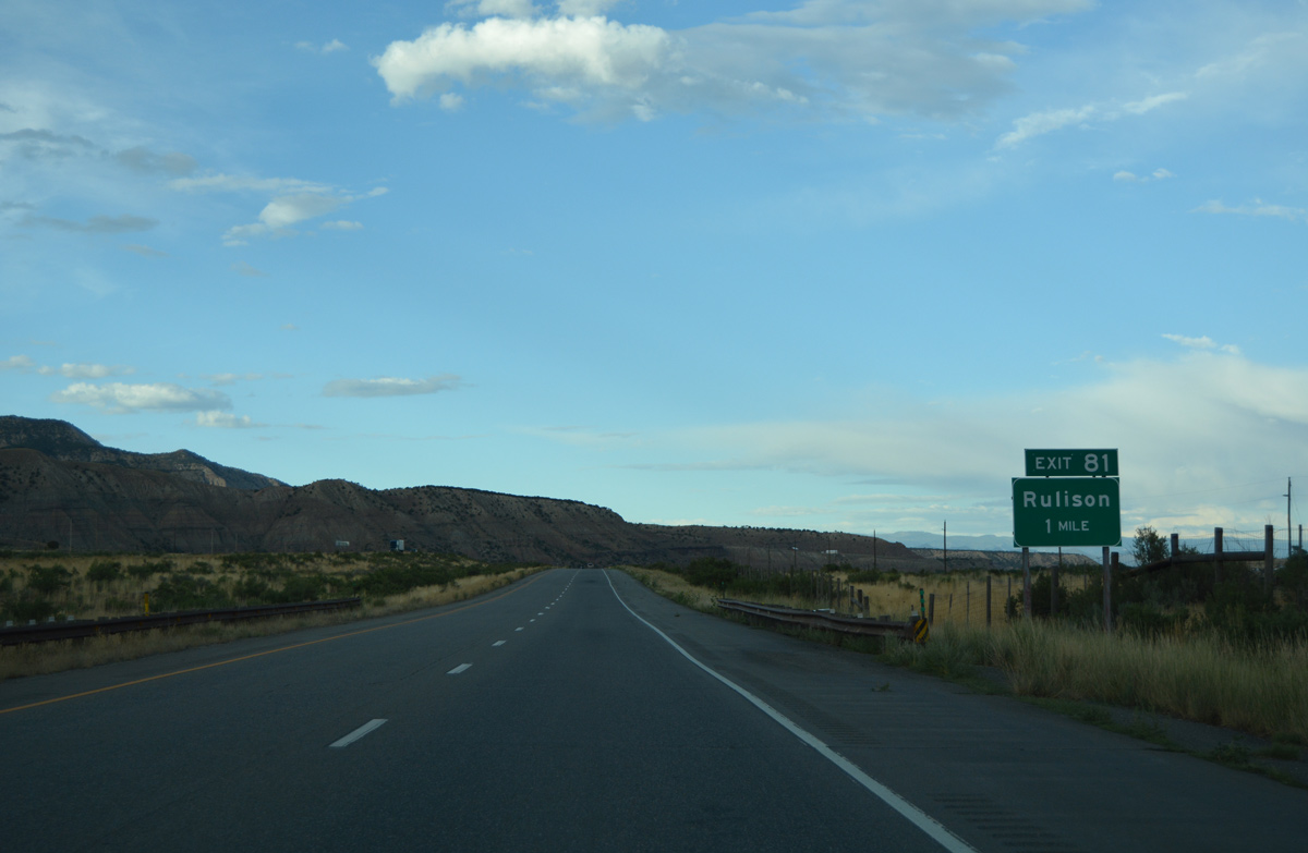
| The UP Railroad siding of Rulison is next along I-70 east in six miles. Denver is 201 miles away. 08/10/16 |
|
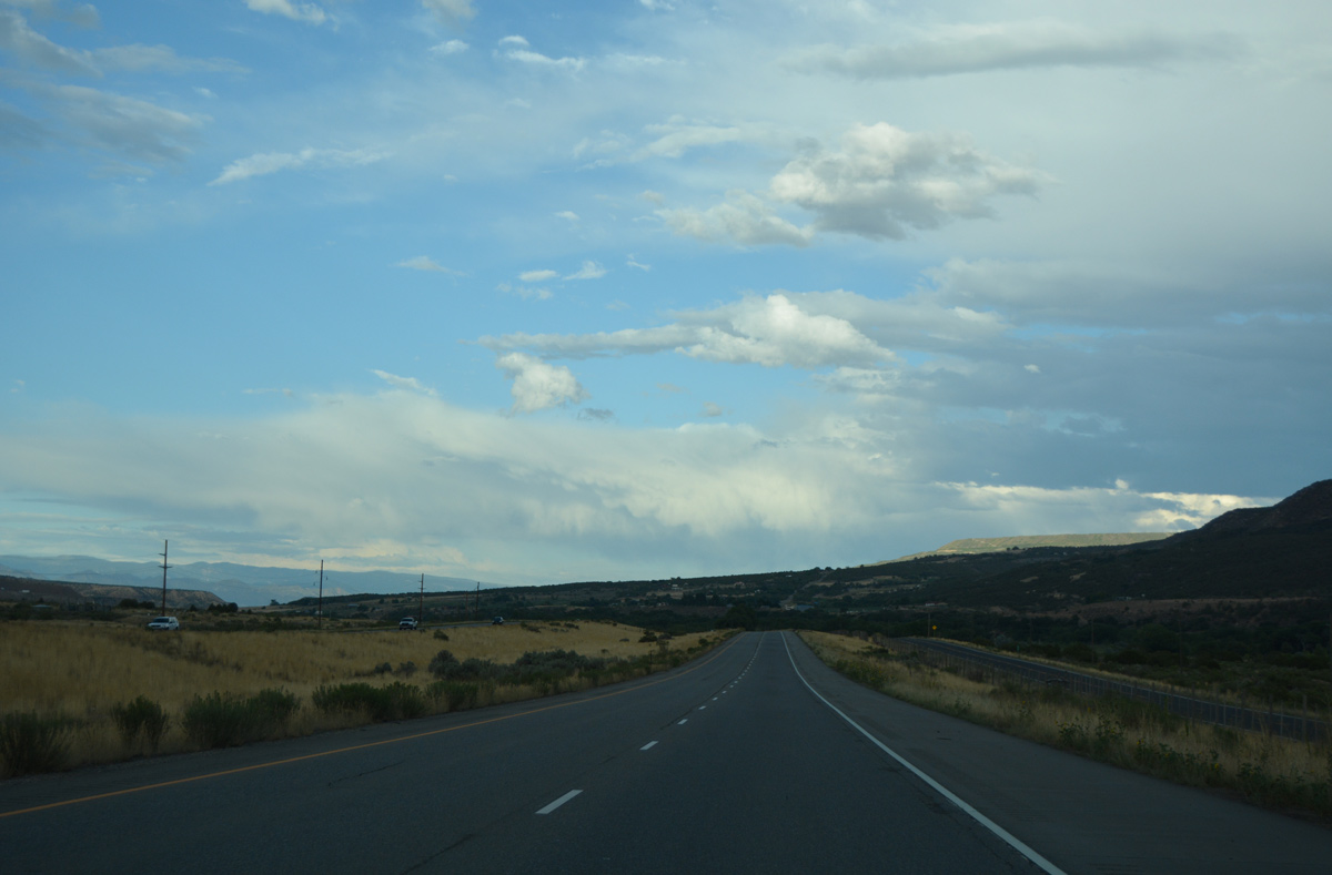
| Interstate 70 and adjacent U.S. 6 turn eastward with the Colorado River north of Morrisania Mesa. 08/10/16 |
|
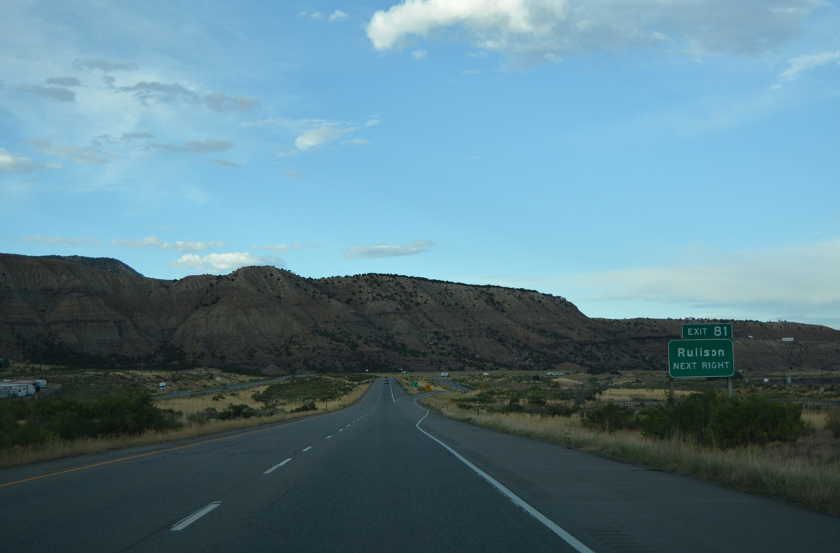
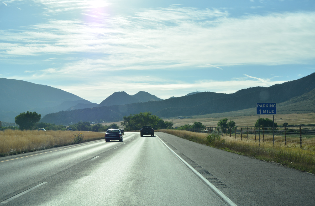
| One mile ahead of the diamond interchange (Exit 81) with Rulison Road south on I-70 east. 08/10/16 |
|
| Rulison Road stems south from Exit 81 to intersect U.S. 6 before spanning the Colorado River to agricultural areas north of Holms Mesa. 08/10/16 |
|
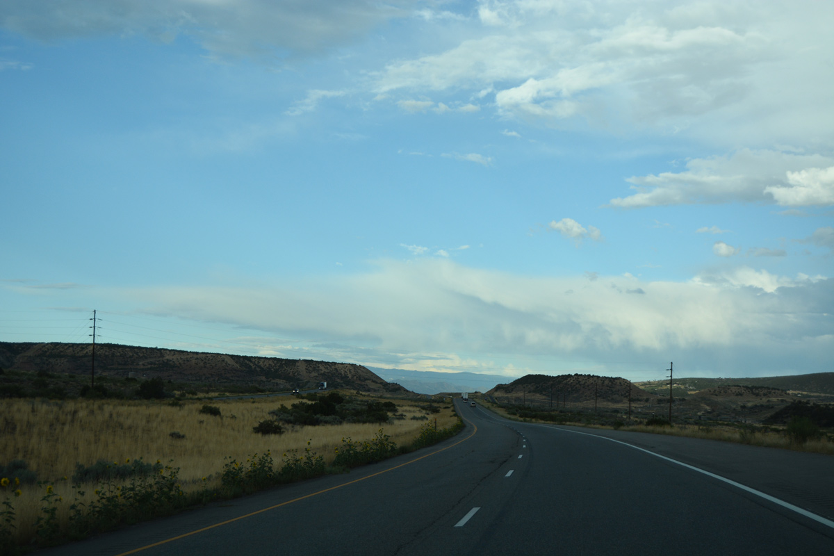
| An S-curve shifts I-70 south alongside U.S. 6 and the Union Pacific Railroad line at milepost 82. 08/10/16 |
|
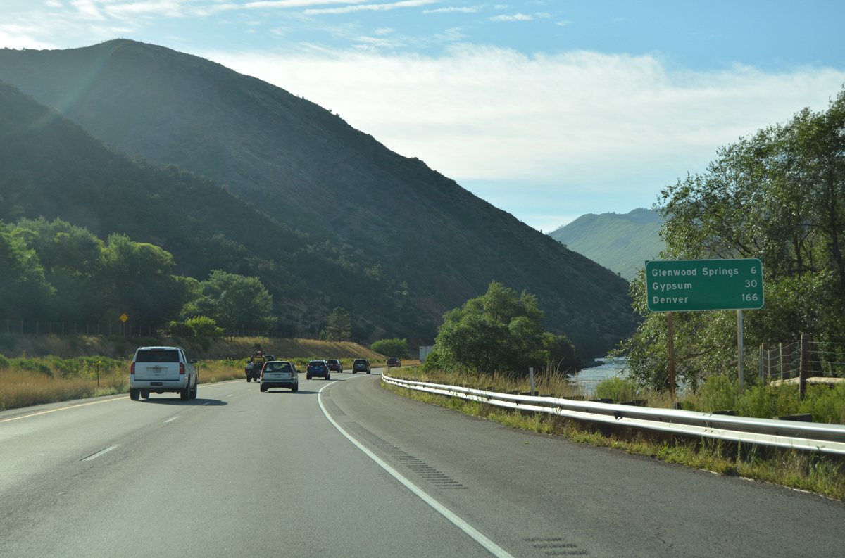
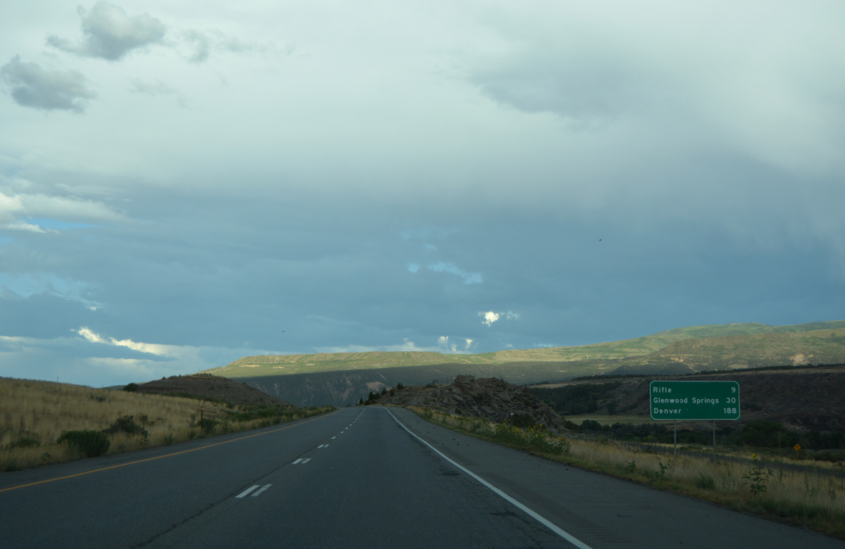
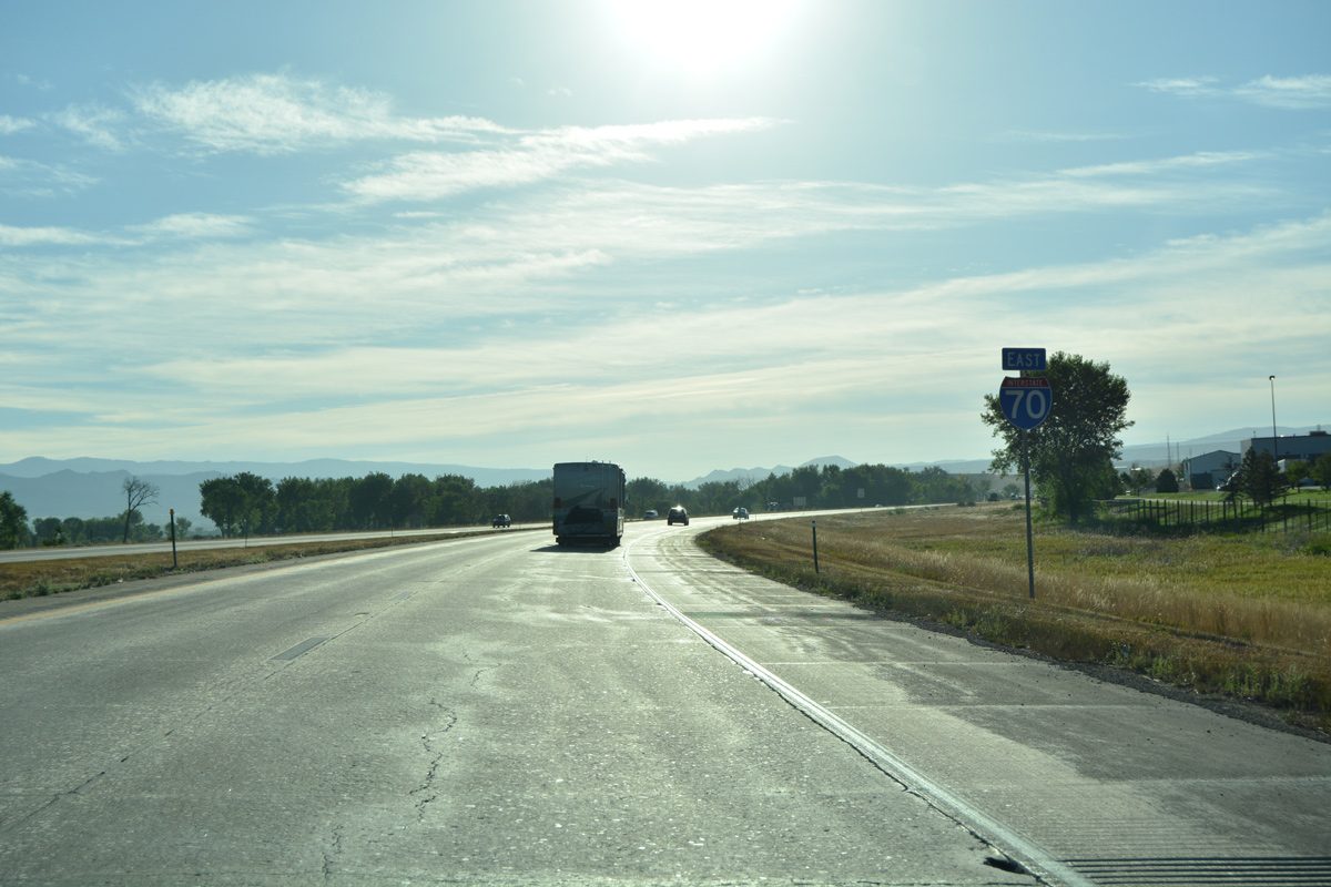
| Rifle, a city of over 9,000, lies nine miles ahead. I-70 reaches Glenwood Springs in 30 miles and Denver in 188 miles. 08/10/16 |
|
| Interstate 70 proceeds east to Webster Hill and Webster Mesa. 08/10/16 |
|
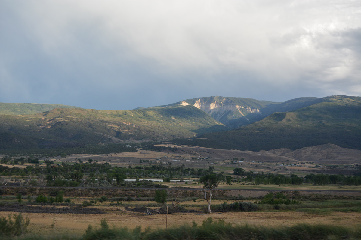
| The Colorado River bends southward from Webster Hill toward the north slopes of Log Mesa and Houston Mountain. 08/10/16 |
|
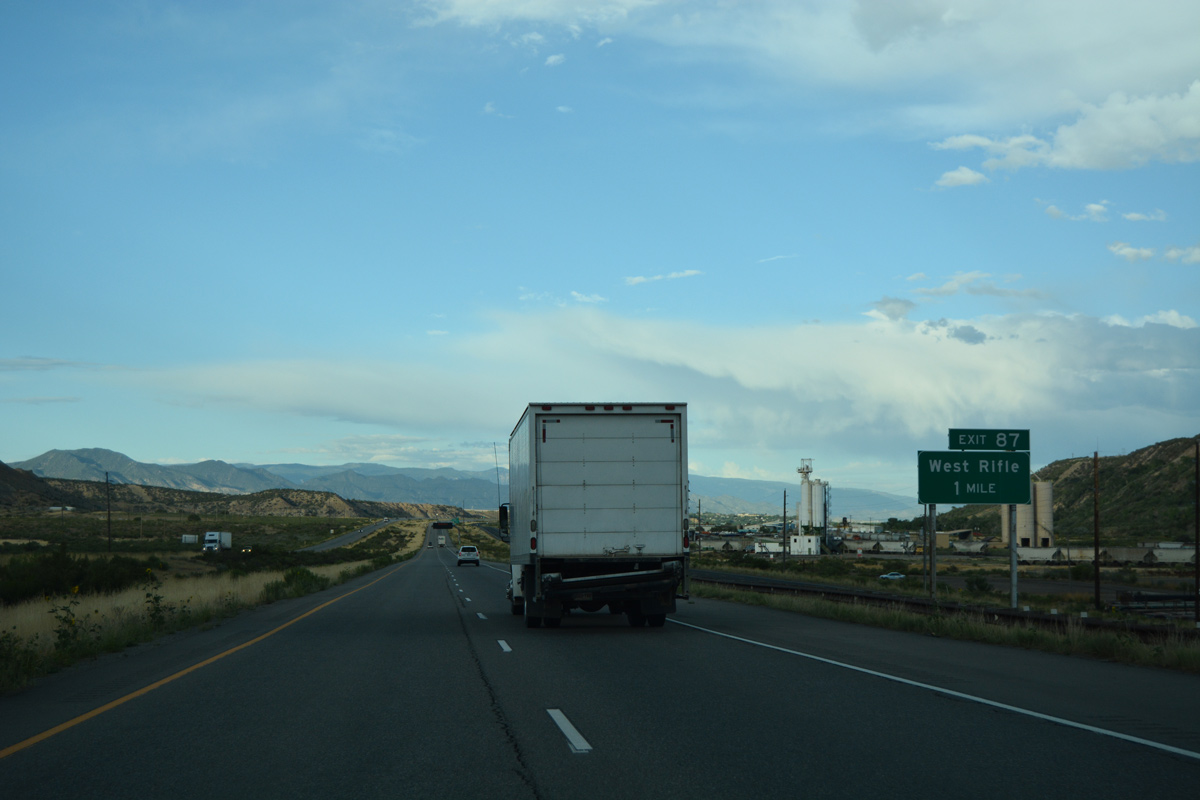
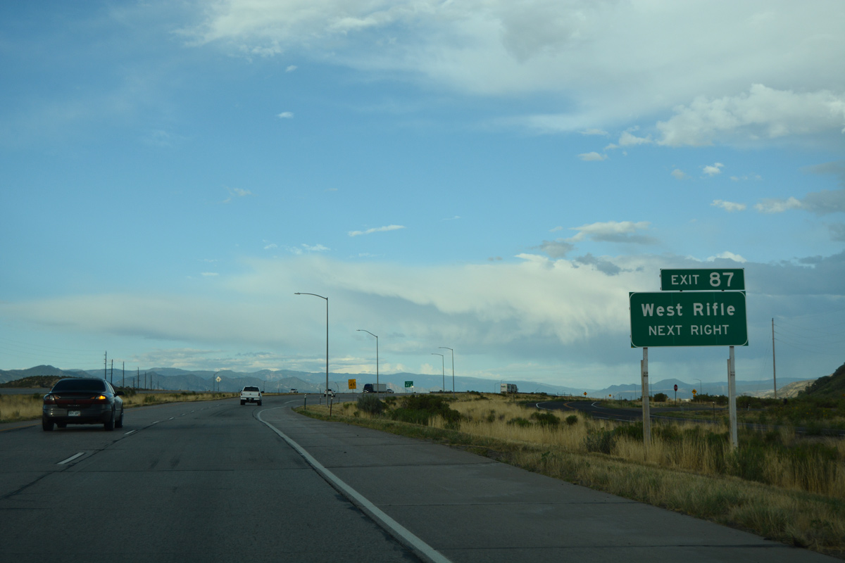
| U.S. 6 and Interstate 70 cross paths again at Exit 87 and west Rifle in one mile. 08/10/16 |
|
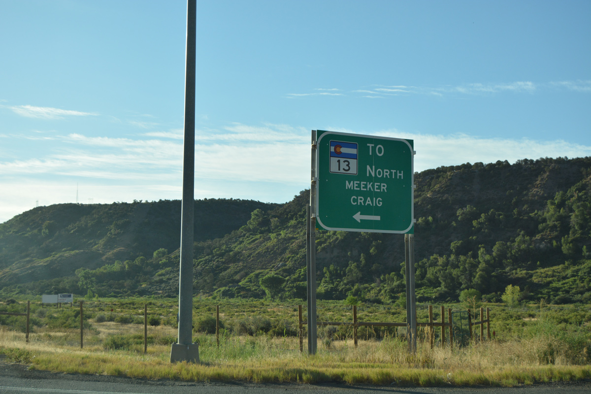
| East from Exit 87, U.S. 6 provides a more direct route to SH 13 north around Rifle to Meeker and Craig. SH 13 extends north to the Wyoming state line, where it becomes WYO 789 north to I-80 and Rawlins. 08/10/16 |
|
| Route 006M ends at the diamond interchange (Exit 87) with I-70 in west Rifle. CDOT inventories the 2.35 mile section of U.S. 6 east to SH 13 in Rifle as Route 006L. This stretch was also once part of a business loop for I-70. 08/10/16 |
|
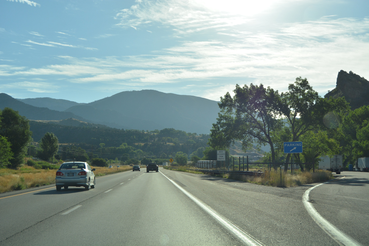
| U.S. 6 heads 2.7 miles east from Exit 87 to SH 13 and the Rifle Bypass. The Rifle Bypass was completed by 1985.1 08/11/16 |
|
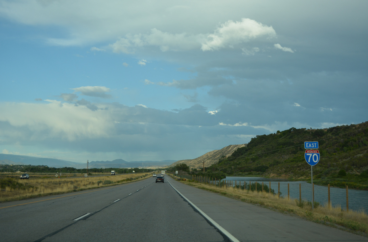
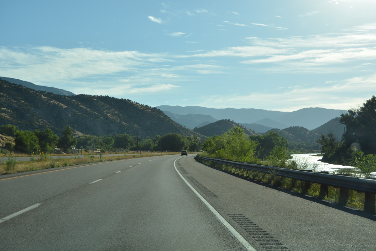
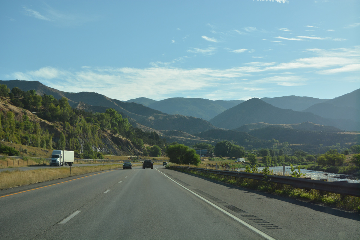
| Interstate 70 runs directly alongside the Colorado River after a UP Railroad underpass. 08/10/16 |
|
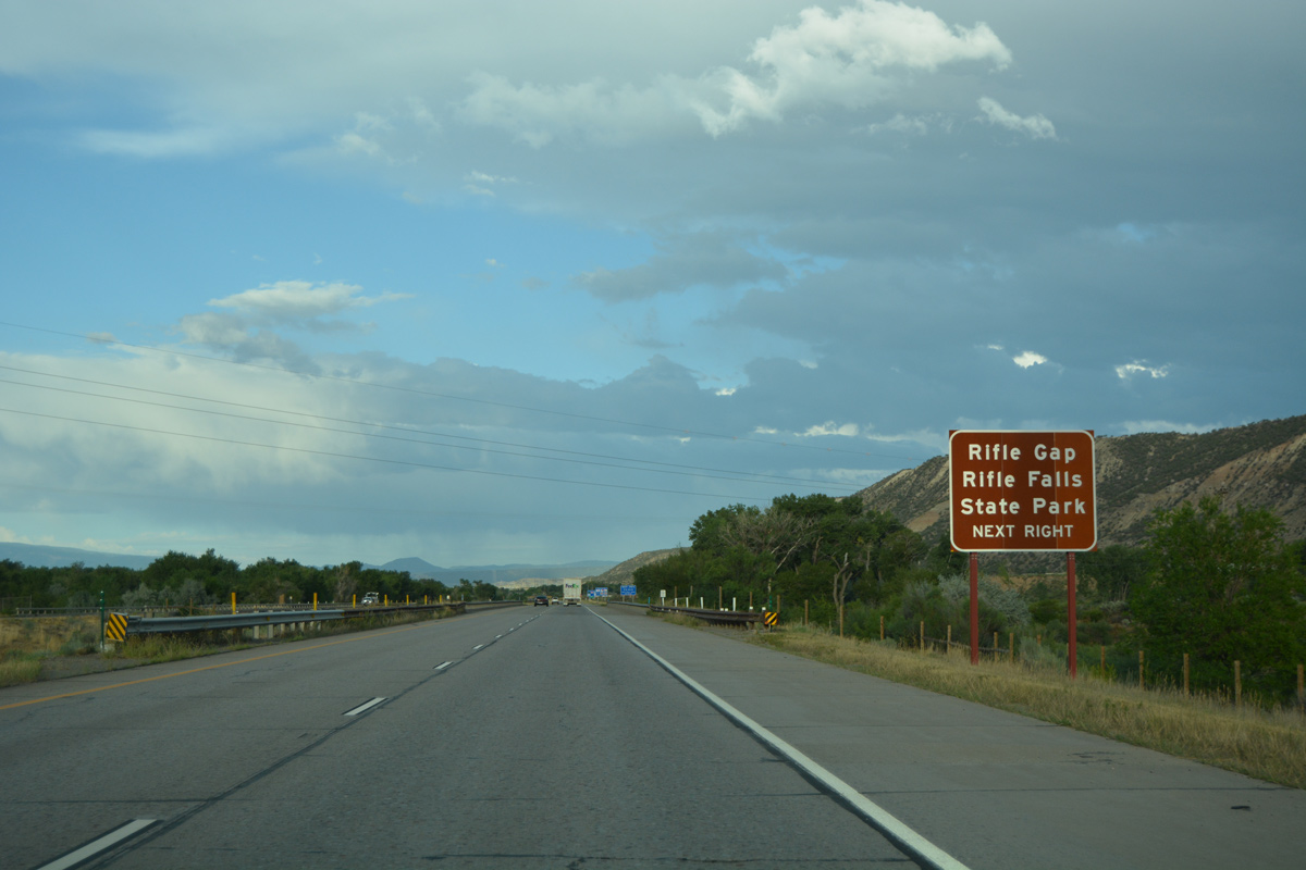
| SH 13 leads north from Rifle to SH 325, a spur route to Rifle Gap and Rifle Falls State Park and Rifle Gap Reservoir. The historic route of SH 13 along Railroad Avenue provides the most direct route to SH 325, 3.8 miles north of upcoming Exit 90. 08/10/16 |
|
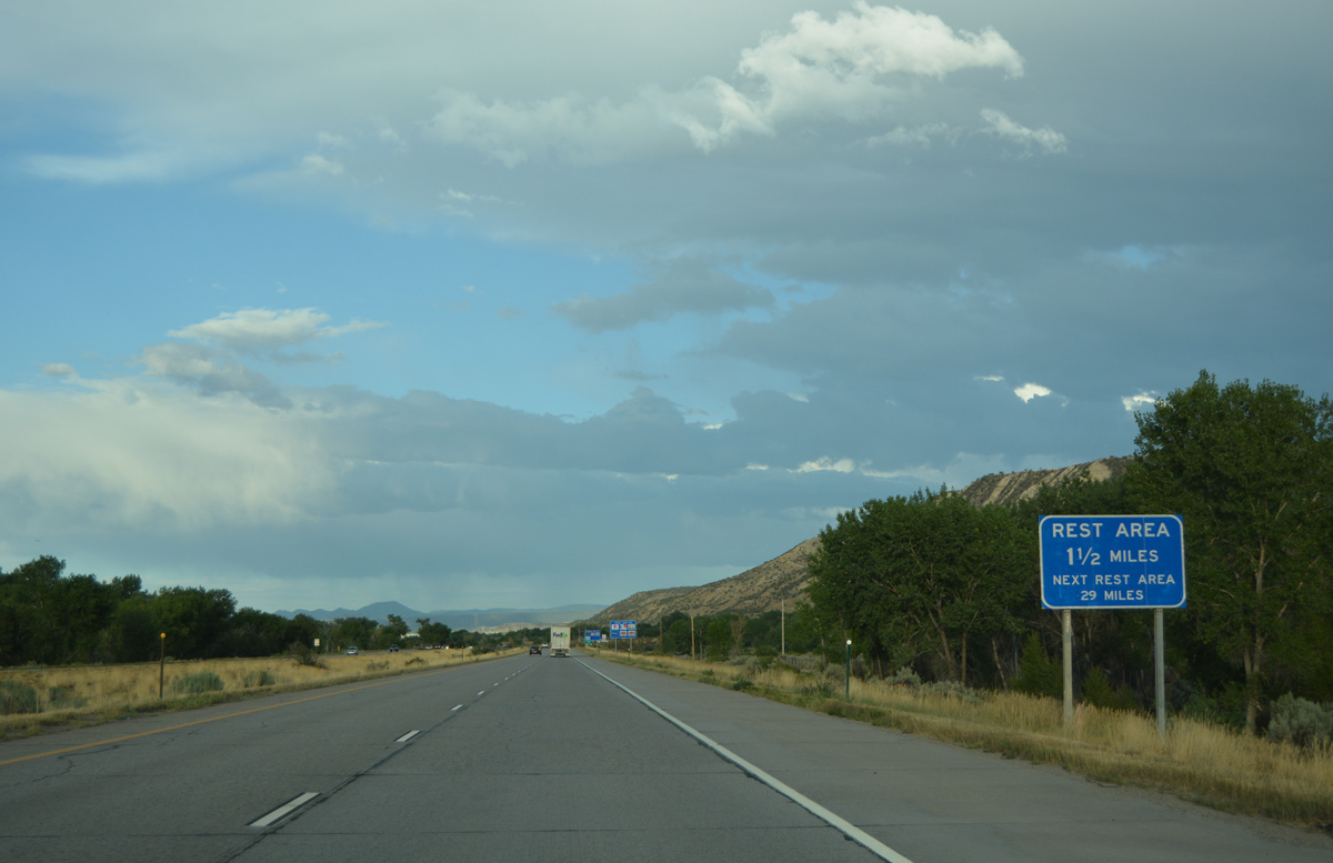
| Exit 90 serves an off freeway rest area maintained by CDOT on SH 13. 08/10/16 |
|
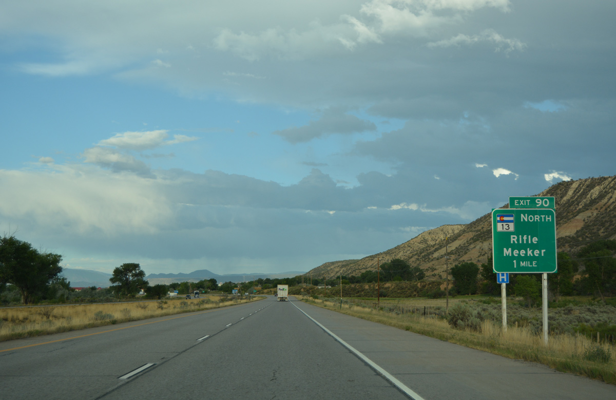
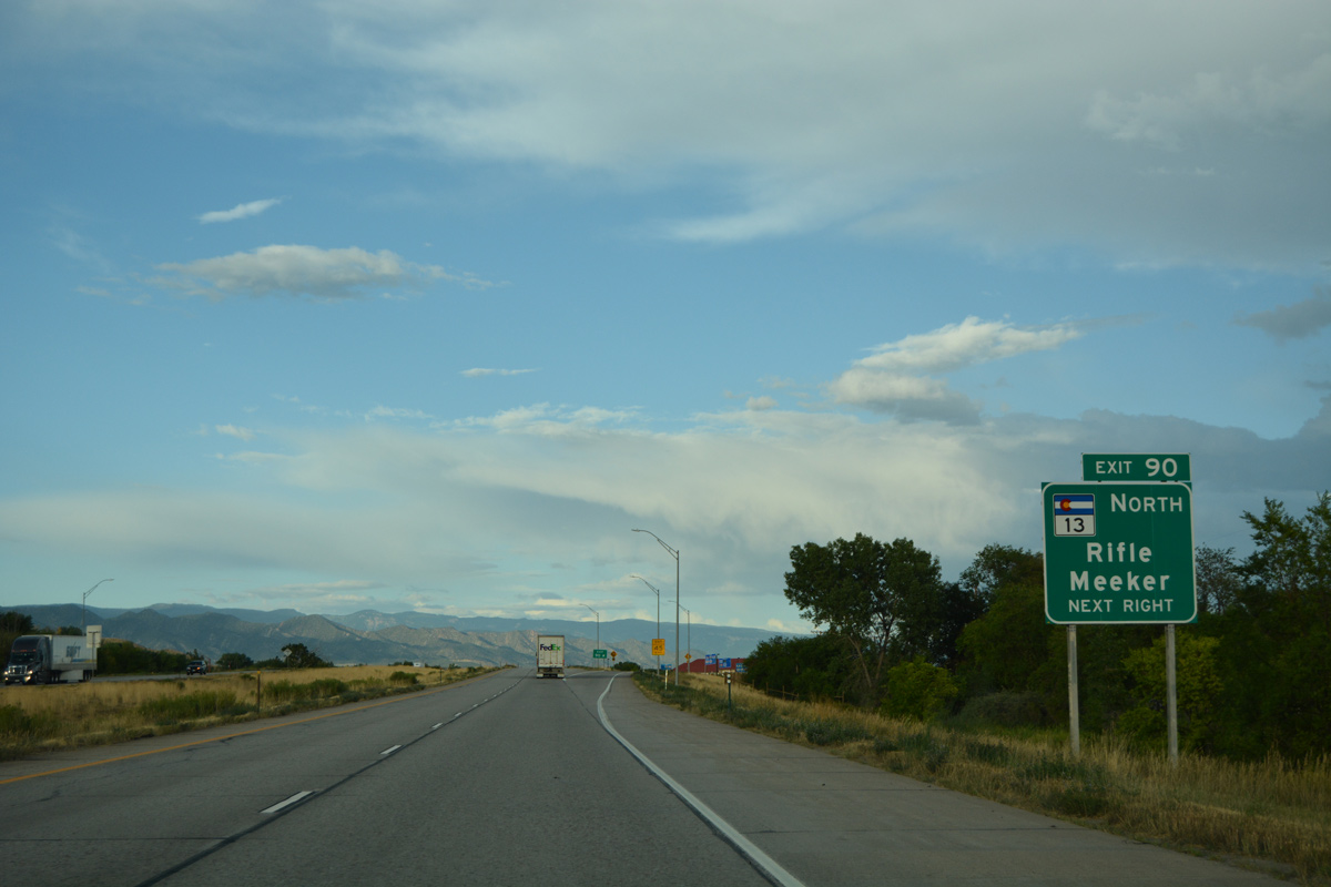
| SH 13 commences a 128.07 mile route from Airport Road and Exit 90 with Interstate 70 in Rifle. Meeker, the largest city in Rio Blanco County, lies 41 miles to the north. 08/10/16 |
|
| A roundabout connects Exit 90 eastbound with SH 13 north to U.S. 6 and Downtown Rifle. Taughenbaugh Boulevard spurs south to traveler services and a town home community, while Airport Road heads east to additional retail, industrial parks and Rifle Garfield County Airport (RIL). 08/10/16 |
|
| Interstate 70 winds eastward between the Colorado River and adjacent Airport Road over the next mile and a half. 08/11/16 |
|
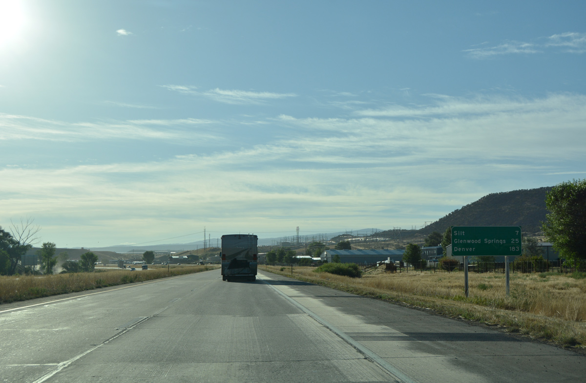
| Progressing east from Rifle, motorists on I-70 reach the town of Silt in 7 miles and the city of Glenwood Springs in 25 miles. 08/11/16 |
|
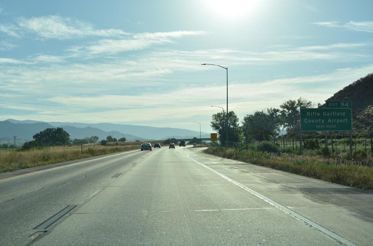
| Rifle Garfield County Airport (RIL) lies south south of I-70 at milepost 93. The forthcoming diamond interchange (Exit 94) with Mamm Creek Road leads motorists back to the airport. 08/11/16 |
|
| Exit 94 leaves I-70 east for Mamm Creek Road south and Garfield County Airport west to Colorado Mountain College. 08/11/16 |
|
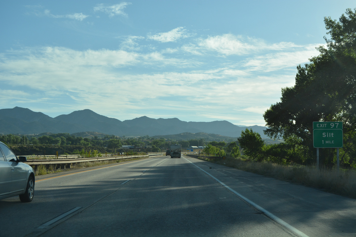
| Confirming marker for I-70 east posted after Mamm Creek Road. Rifle-Silt Road parallels the freeway nearby. 08/11/16 |
|
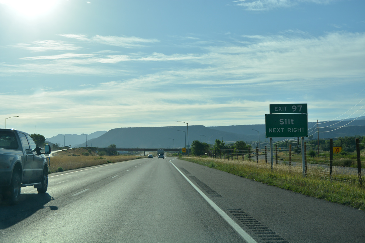
| Eastbound Interstate 70 shifts northeast to cross the Colorado River for the seventh time one mile ahead of Exit 97 for 9th Street in Silt. 08/11/16 |
|
| 9th Street doubles as unsigned Business Spur I-70 (Route 070E), a 0.222 mile route from the South Side Frontage Road at I-70 to U.S. 6 (Main Street) in Silt. 08/11/16 |
|
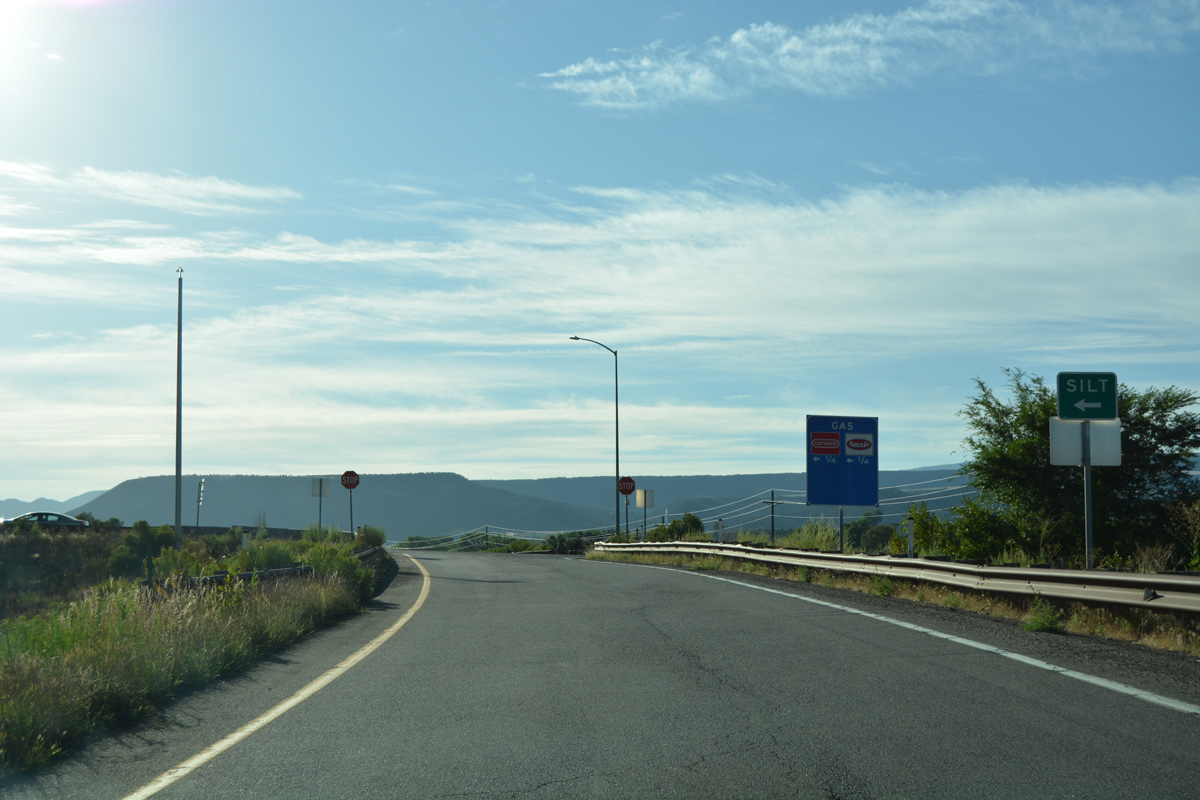
| Taking Exit 97 from I-70 east within the diamond interchange at Business Spur I-70 (9th Street). A roundabout joins 9th Street with U.S. 6 (Route 006D) just north of the UP Railroad underpass at the Silt business district. 08/11/16 |
|
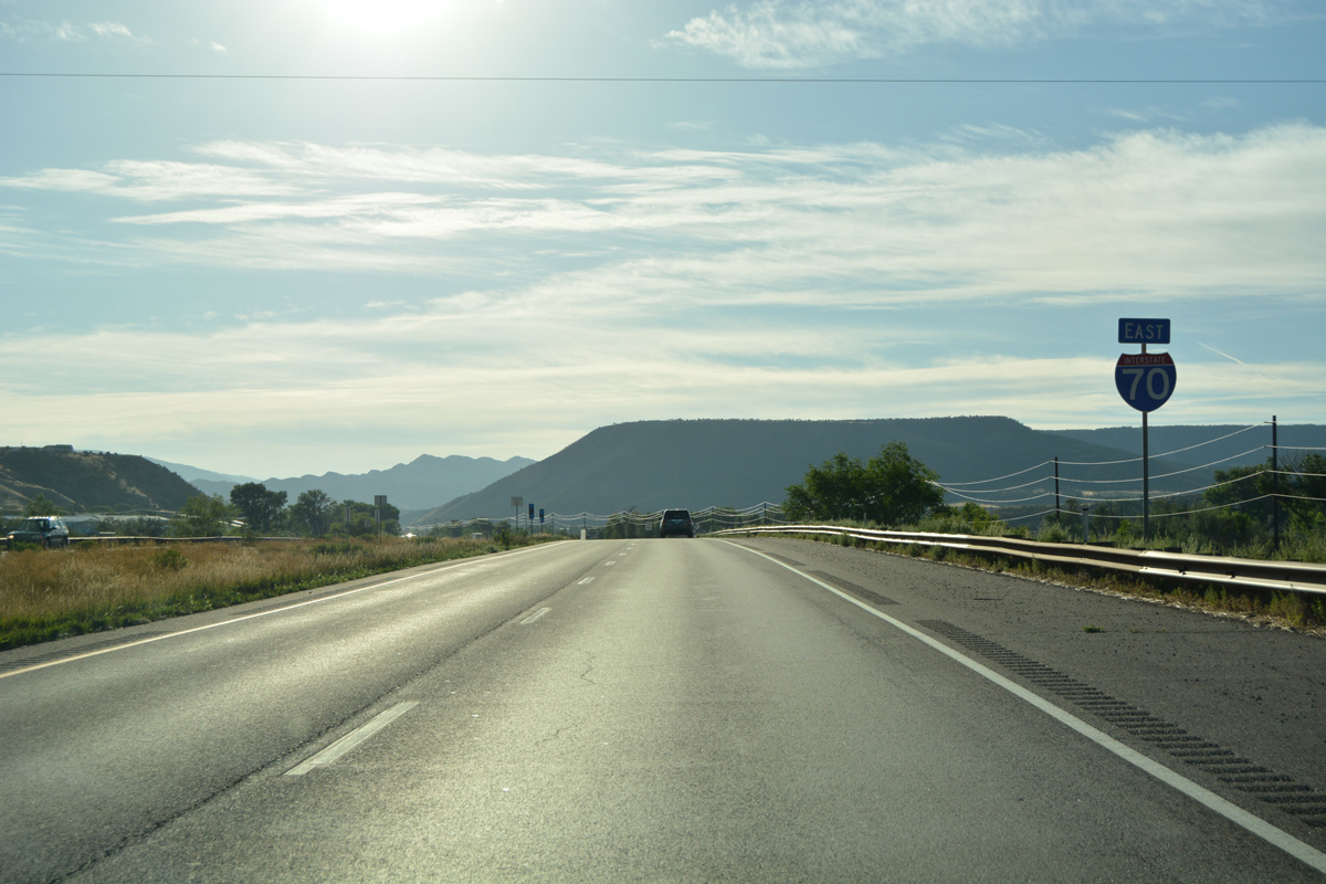
| Interstate 70 passes over a subway after this reassurance marker by Divide Creek Road (CR 311). 08/11/16 |
|
| U.S. 6 (Route 0006D), the Union Pacific Railroad line, and Interstate 70 squeeze between the Colorado River and an adjacent hill side as they collectively leave Silt. 08/11/16 |
|
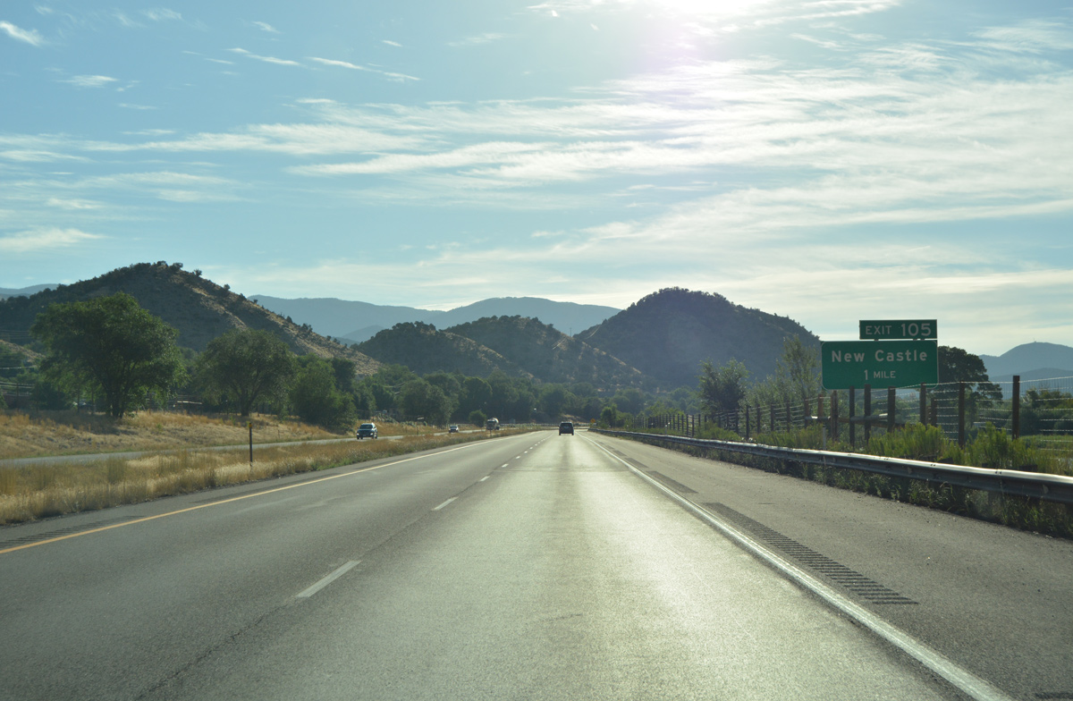
| Exit 105 serves the town of New Castle in one mile. New Castle grew in population from 1,984 in 2000 to 4,518 in 2010, with new development spreading north from Castle Valley Boulevard and Exit 105. 08/11/16 |
|
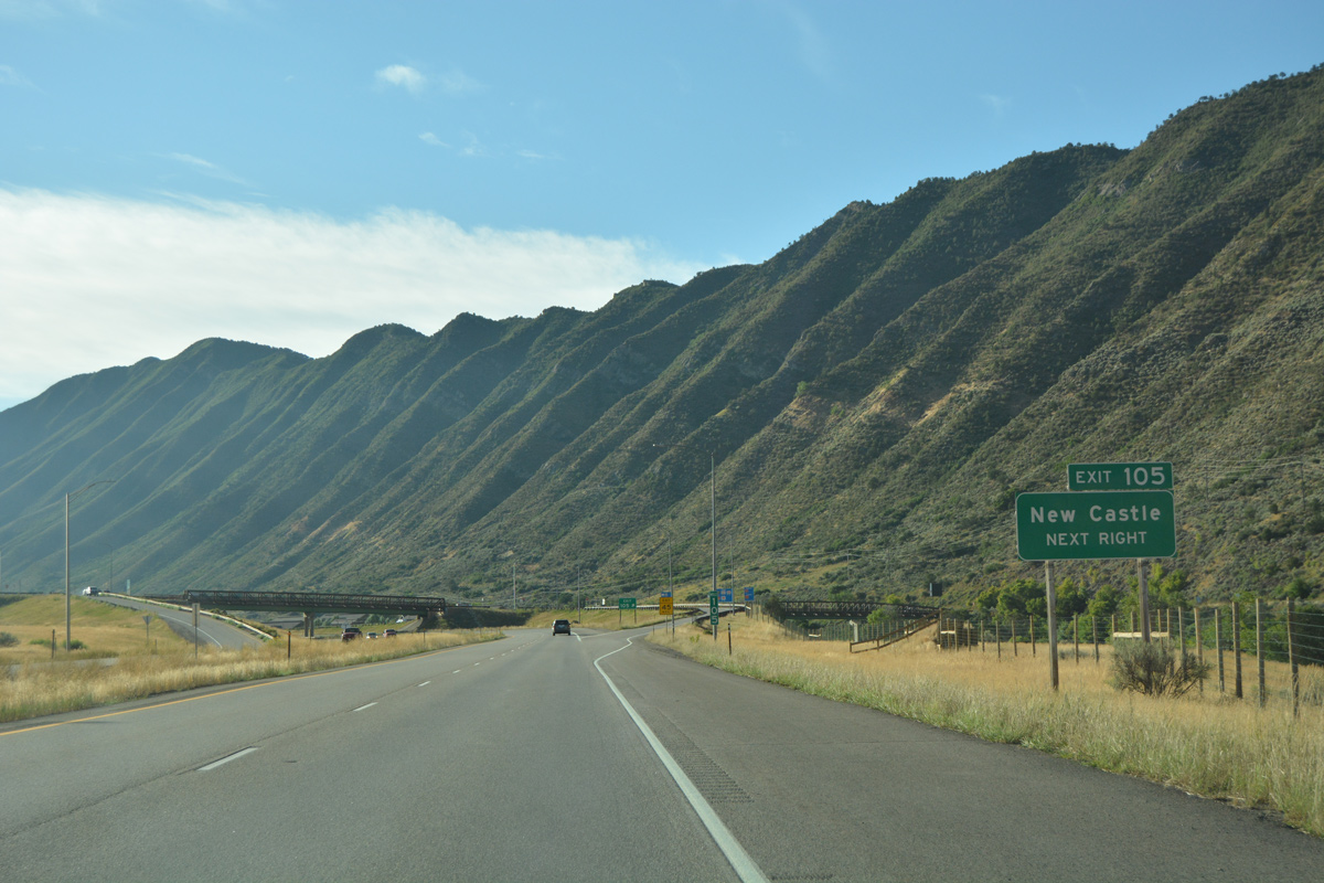
| The freeway closely parallels the Colorado River as it cuts across Grand Hogback ridge. A short distance east from there, I-70 reaches the diamond interchange (Exit 105) with an access road north to U.S. 6 (Main Street) and Castle Valley Boulevard and south to County Road 335 (Colorado River Road). 08/11/16 |
|
| Leaving New Castle, Interstate 70 and adjacent U.S. 6 travel through a meadow north of Coal Ridge. 08/11/16 |
|
| An east side parking area lies along I-70 after milepost 107. 08/11/16 |
|
| Storm King Mountain (el. 8,776 feet) anchors the eastern horizon in this scene. 08/11/16 |
|
| The parking area off-ramp separates from I-70 east to a riverside lot. 08/11/16 |
|
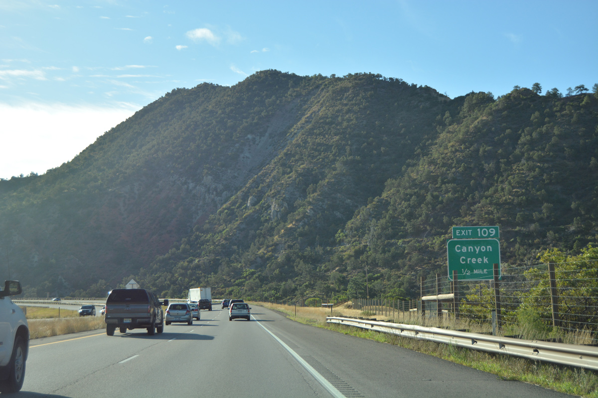
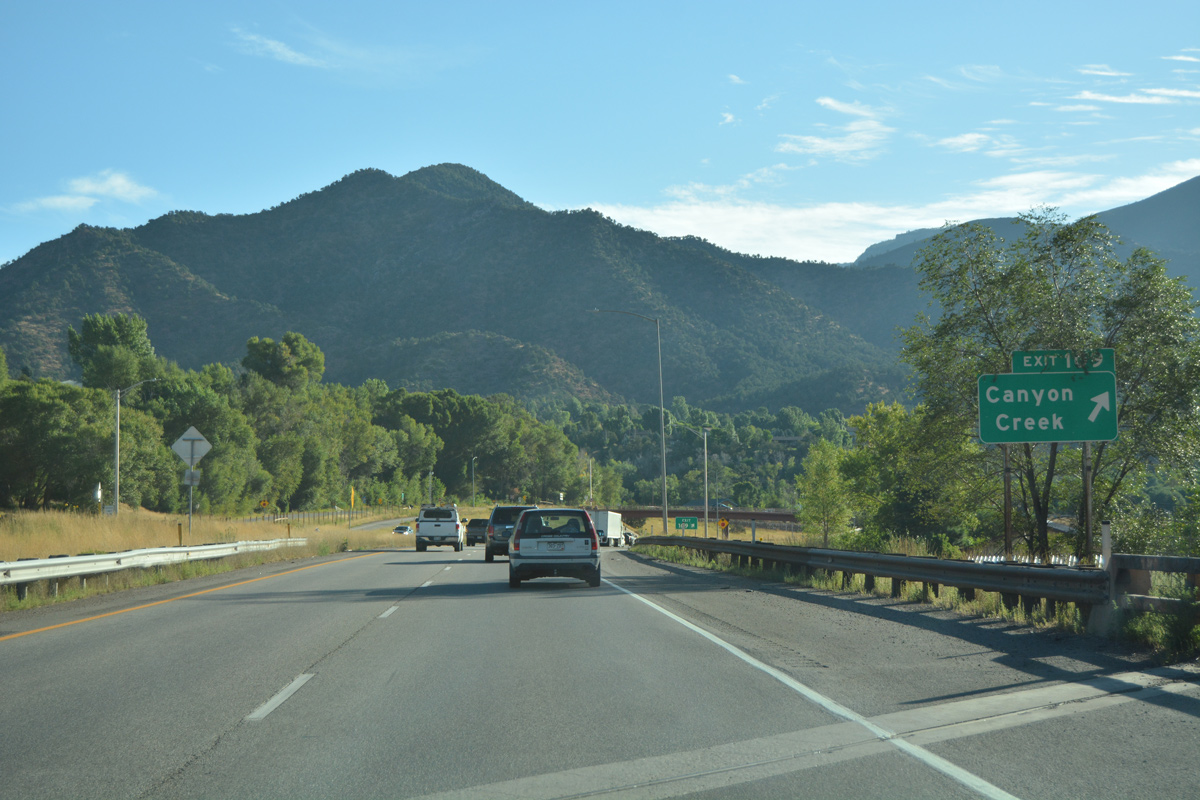
| The 18.81 mile segment of U.S. 6 (Route 006D) from Rifle concludes at Exit 109 by Canyon Creek and the Chacra railroad siding in one half mile. 08/11/16 |
|
| Interstate 70 shifts northward over the UP Railroad to enter the diamond interchange (Exit 109) with U.S. 6 west and Canyon Creek Road north. 08/11/16 |
|
| The building of I-70 again overtook the old alignment of U.S. 6 from just east of Canyon Creek to milepost 113. U.S. 6 is not acknowledged along I-70 per typical CDOT signing conventions. 08/11/16 |
|
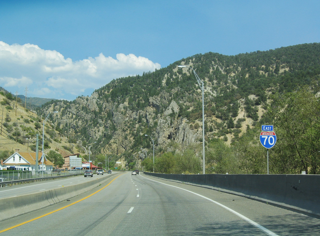
| Motorists on I-70 and U.S. 6 east continue to Glenwood Springs in six miles. The scenic stretch through Glenwood Canyon ensues east from there on the 30 mile drive to Gypsum. 08/11/16 |
|
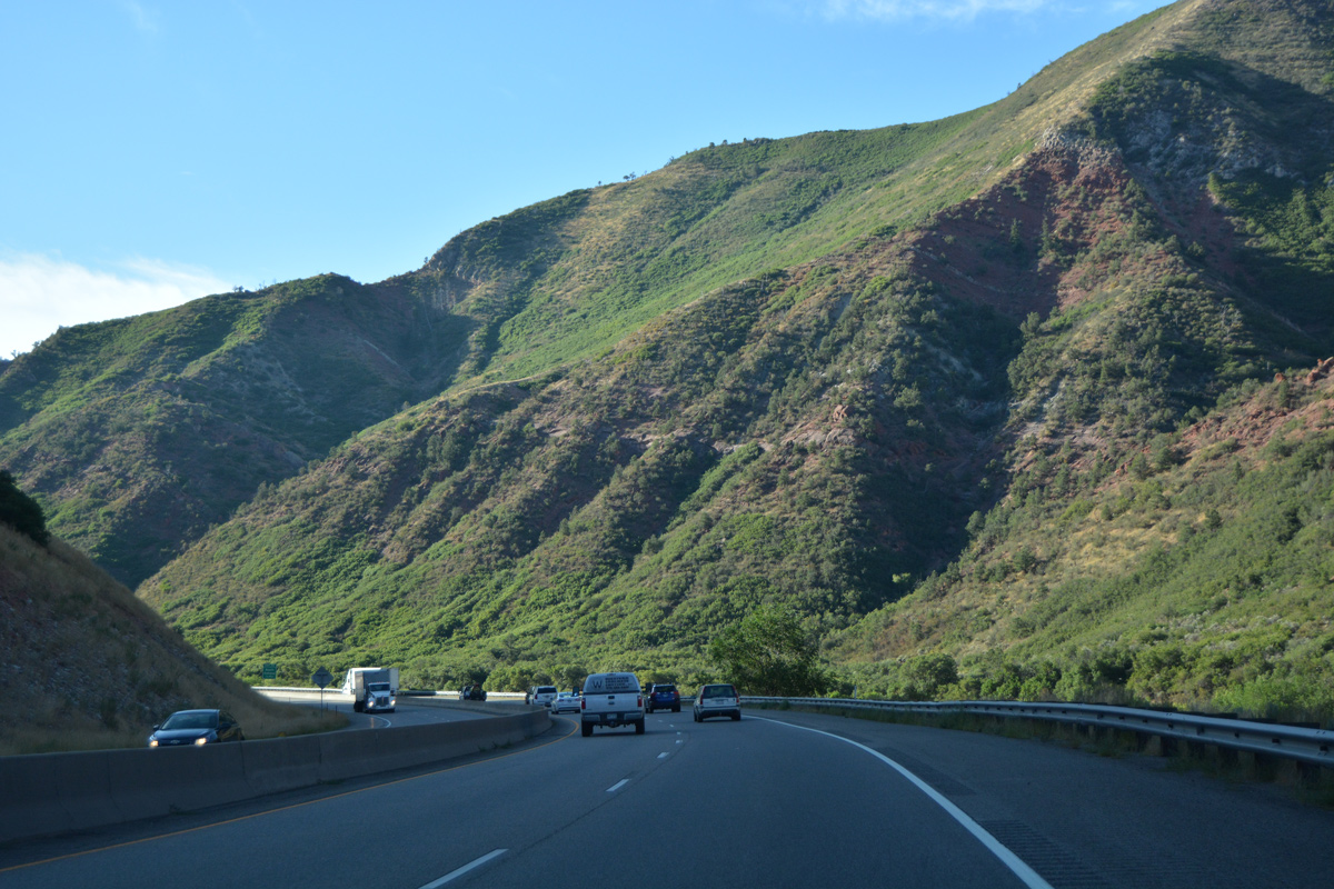
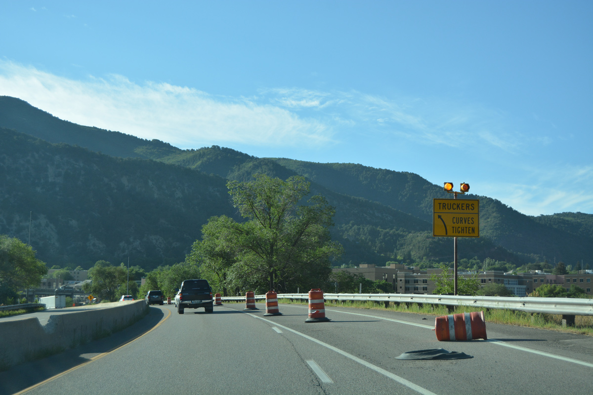
| Traveling within the shadow of Storm King Mountain, Interstate 70 winds southeast toward South Canyon. 08/11/16 |
|
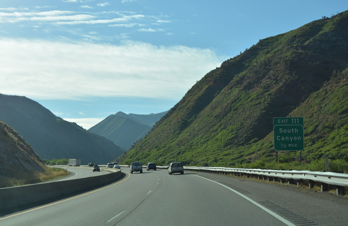
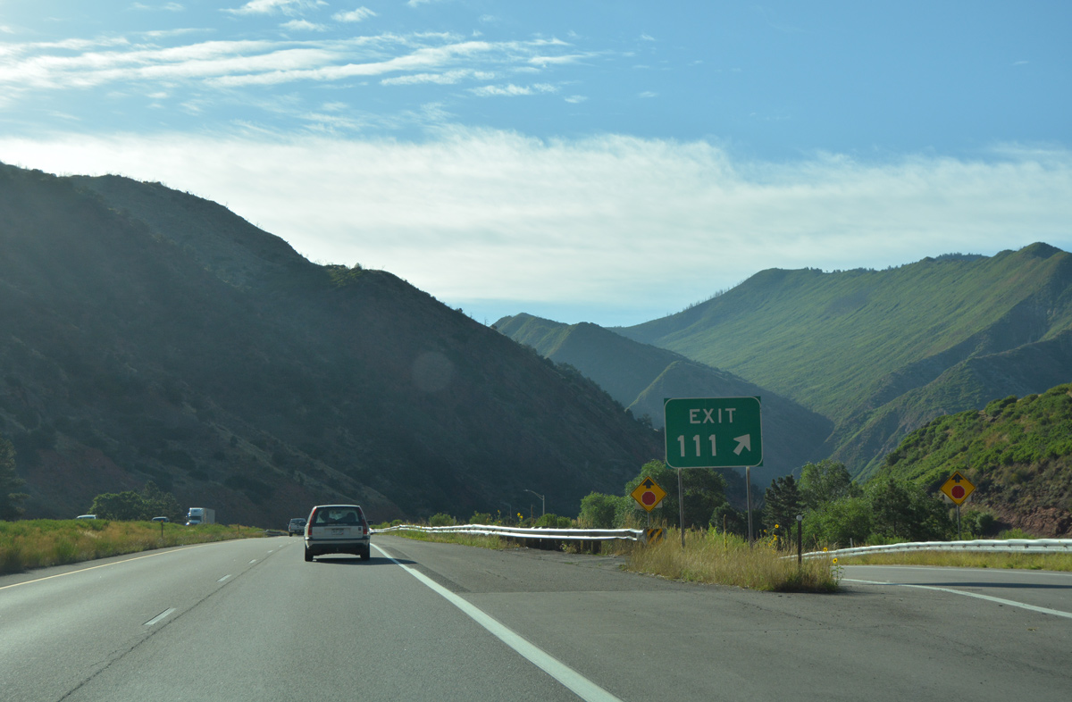
| South Canyon Creek Road (CR 134) stems south from Exit 111 to a landfall east of Horse Mountain. 08/11/16 |
|
| The diamond interchange (Exit 111) with South Canyon Creek Road sandwiches between the Colorado River and south slopes of Storm King Mountain. 08/11/16 |
|
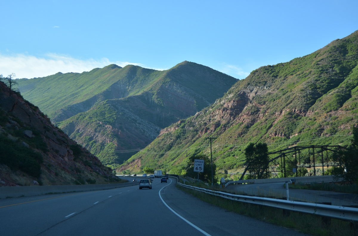
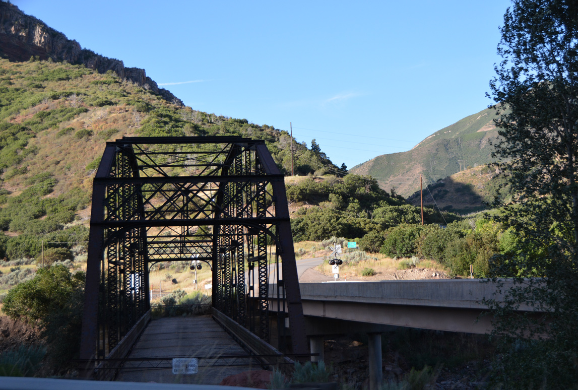
| An abandoned truss bridge spans the Colorado River alongside South Canyon Road, and just south of Interstate 70 ahead of milepost 112. 08/11/16 |
|
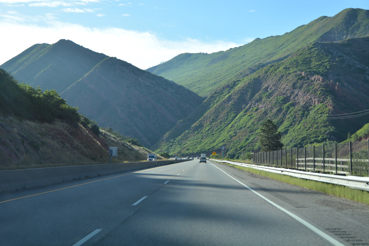
| 8,000 foot plus peaks rise just south of Interstate 70 and the Colorado River ahead of Glenwood Springs. 08/11/16 |
|
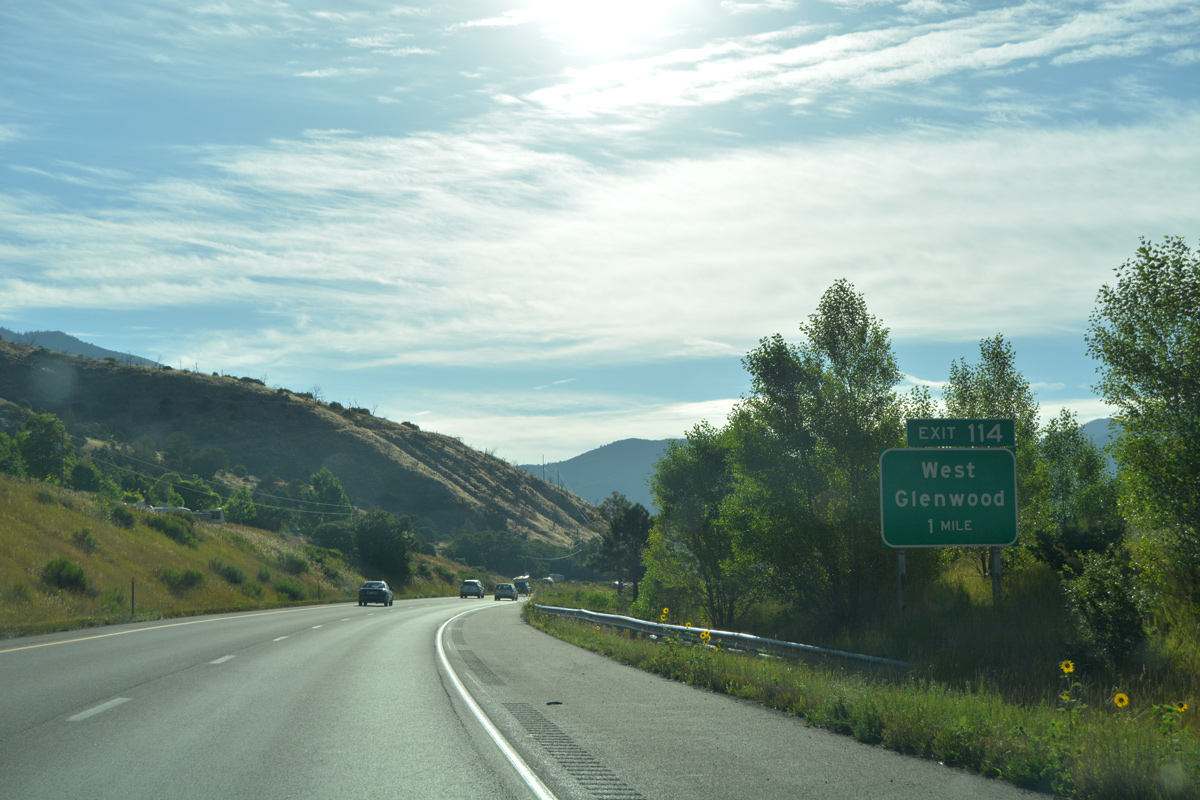
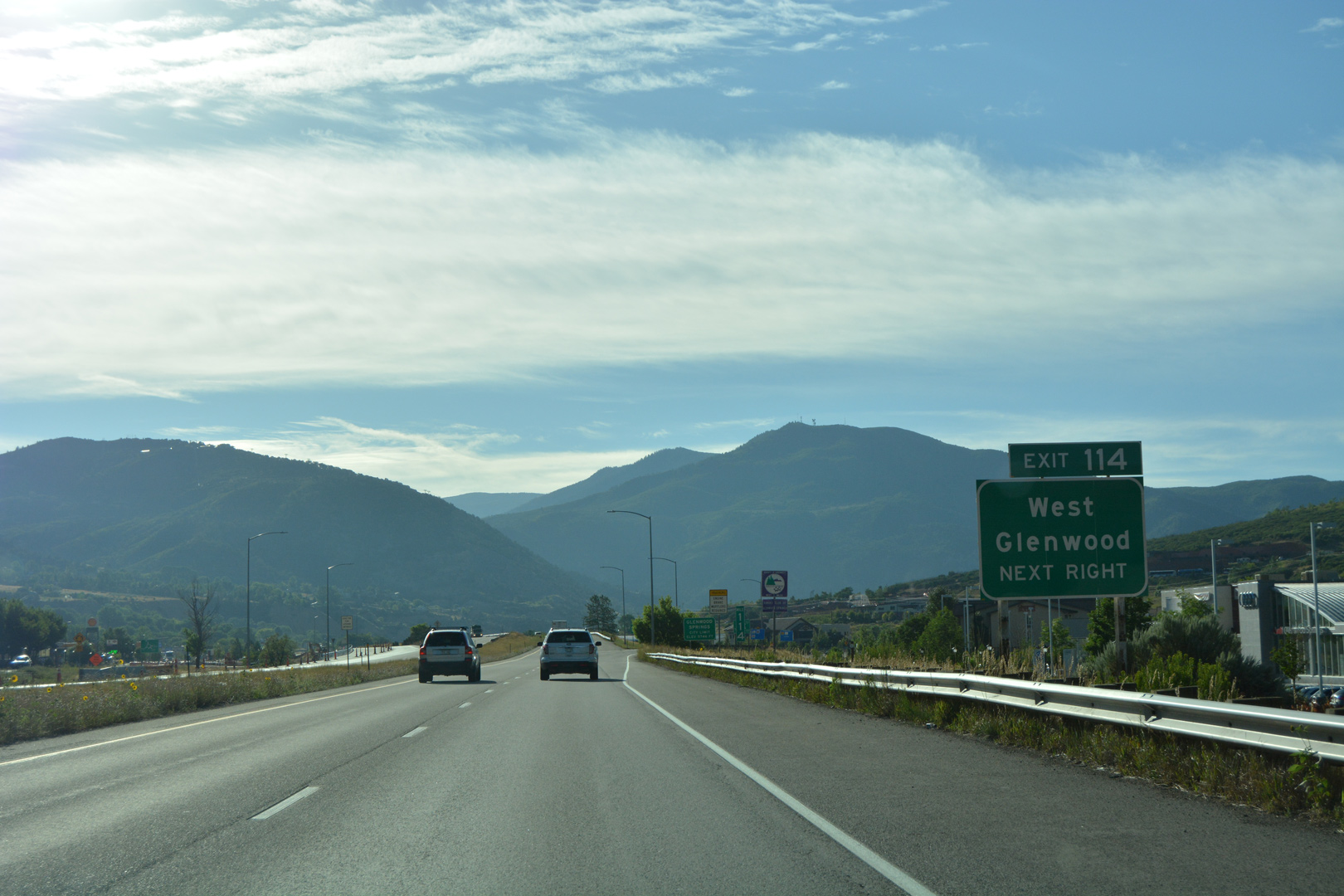
| A brief roadway separation precedes the West Glenwood Exit on I-70 eastbound. The original alignment of U.S. 6 passed between the two roadways. The north side frontage road east to Glenwood Springs Mall ahead is also old U.S. 6. 08/11/16 |
|
| Mel Ray Road south and Midland Avenue west come together at a dumbbell interchange (Exit 114) with Interstate 70 and U.S. 6 in west Glenwood. Midland Avenue crosses the Colorado River east to the Glenwood Meadows big box retail center. 08/11/16 |
|
| SH 82 commences a 85.29 mile route to U.S. 24 east of Independence Pass and Twin Lakes from Interstate 70 in Glenwood Springs. 08/11/16 |
|
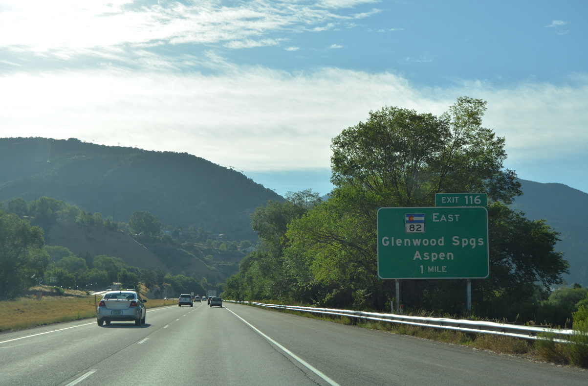
| Old U.S. 6-24 (Highway 6) remain on the north side frontage road for I-70 to milepost 116. The parallel road loops away from I-70 to Devereux Road at 6th Street. 6th Street carries Route 006K, a 0.338 mile state maintained segment, east to SH 82 by Exit 116. 08/11/16 |
|
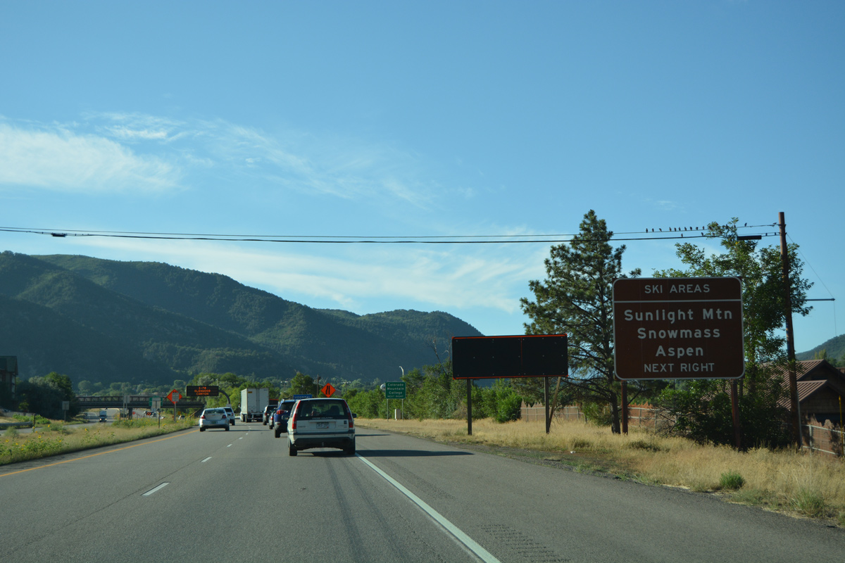
| SH 82 comprises a five lane boulevard south through Glenwood Springs and a four lane highway southeast to the Snowmass and Aspen ski resorts. 08/11/16 |
|
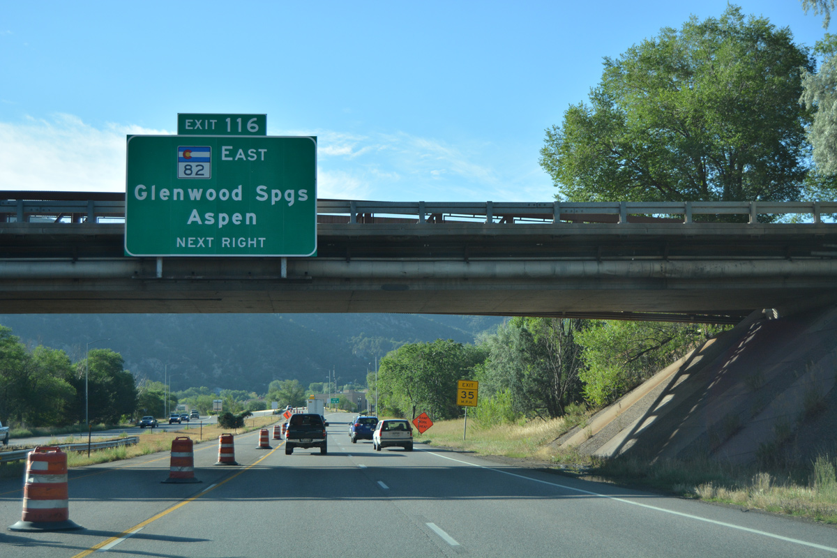
| Exit 116 departs Interstate 70 eastbound for SH 82 (Laurel Street). SH 82 hooks east along 6th Street and south across the Grand Avenue Bridge to Downtown Glenwood Springs. The Pitkin County seat of Aspen is 42 miles away. 08/11/16 |
|
| I-70/U.S. 6 make a sharp curve as the freeway hugs the north banks of the Colorado River east from Exit 116. 08/11/16 |
|
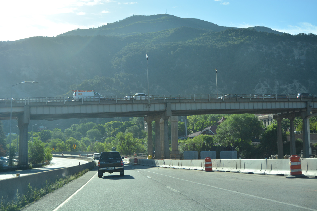
| A five-phase project replaced the Grand Avenue Bridge carrying SH 82 above both I-70 and the adjacent Colorado River. Phase three work underway in 2017 realigned SH 82 from 6th Street onto a new bridge curving southeast from the ramps at Exit 116.2 08/11/16 |
|
| The Grand Avenue Bridge opened to traffic in 1953. Sidewalks on the span were removed to accommodate an additional lane of traffic in 1969. The adjacent pedestrian truss bridge was added in the mid 1980s.3 A new 16 foot wide, steel girder pedestrian bridge opened here in March 2017. 08/30/04 |
|
| Reassurance marker for I-70 east formerly posted after the Grand Avenue Bridge. The famous mineral hot springs that give Glenwood Springs its name are located to the north of the freeway. The bath house, ancillary buildings and rising steam from the springs are visible nearby. 08/30/04 |
|
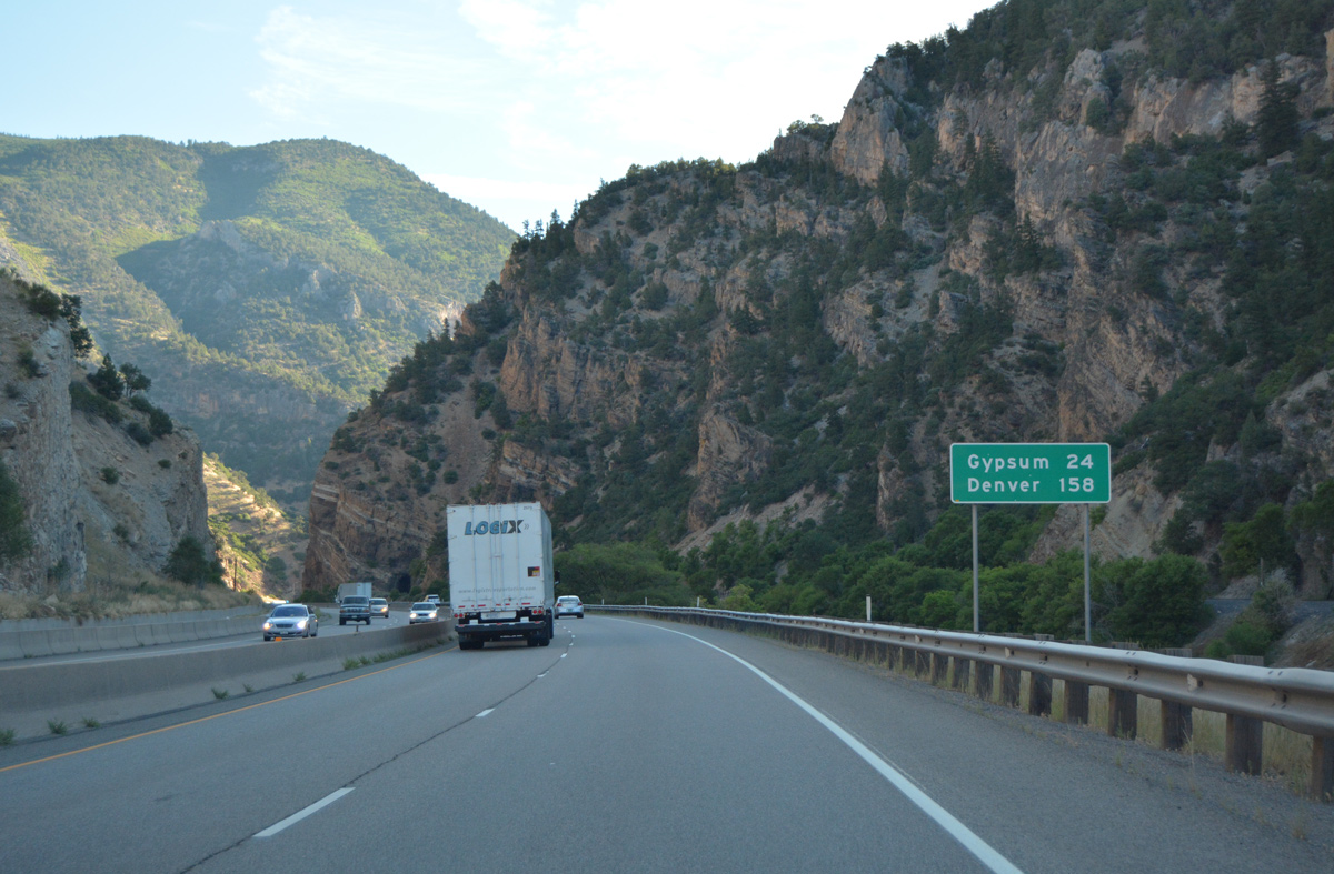
| This sign provides the distance to Gypsum (24 miles) and Denver (158 miles). Omitted are Eagle, Vail, Frisco, Dillon/Silverthorne and Idaho Springs. 08/11/16 |
Page Updated 03-28-2017.

 East
East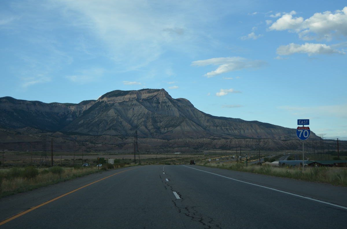


 East
East