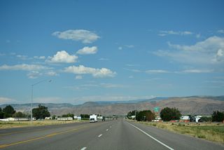
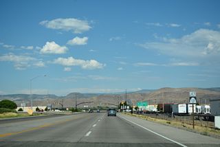
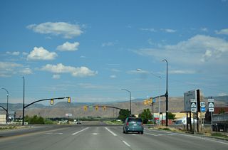
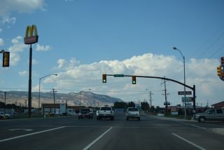
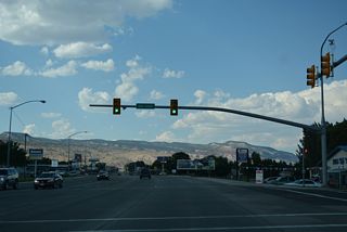
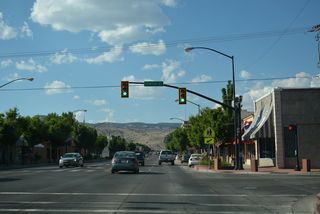
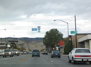
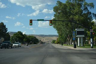
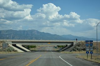
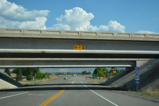
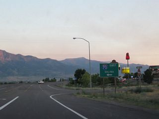
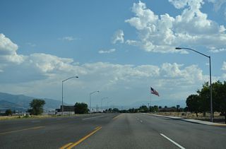
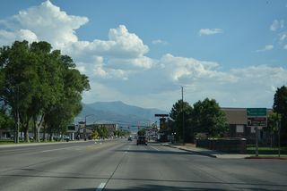
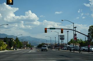
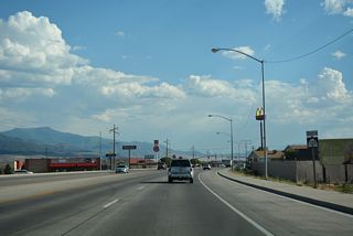
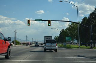
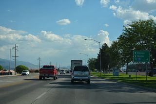
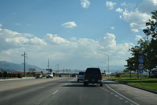
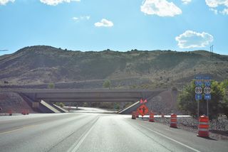
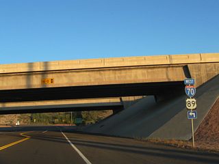
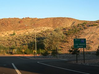
The Richfield business loop follows Utah State Route 120 along 1200 South and Main Street through the Sevier County seat. Trailblazers for I-70 and U.S. 89 take the place of Business Loop shields on the 3.87 mile long route. Guide signs posted on I-70/U.S. 89 at Exit 37 and Exit 40 however acknowledge the route.
With a population of 8,201 as of the 2020 Census, Richfield sits at an elevation of 5,354 feet above sea level. The Richfield north and south access roads were constructed at the same time the I-70 mainline was built to the west of the city in 1986.
|
| Business Loop I-70/SR 120 follow 1300 South between Interstate 70 and Main Street. Airport Road loops south around Richfield Municipal Airport (RIF) between 1300 South and SR 118 at 840 North. 07/15/17 |
|
| Business Loop I-70/SR 120 combine with SR 118 north along Main Street to Downtown Richfield. SR 118 is the original alignment for U.S. 89 alignment through the city. 07/15/17 |
|
| SR 118 extends south from Business Loop I-70 and Main Street in Richfield to Richfield Municipal Airport (RIF), the town of Central Valley Jensen and town of Elsinore. 07/15/17 |
|
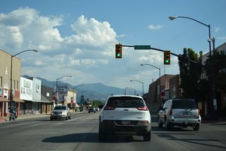
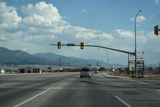
| The signal along Main Street north at 1100 South serves adjacent businesses and fast food restaurants. 07/15/17 |
|
| The succeeding traffic light on Business Loop I-70/SR 120 (Main Street) eastbound is at 800 South. Just to the west is Cove View Road, the former route of Business Loop I-70 westbound to 1300 South. 07/15/17 |
|
| Business Loop I-70/SR 120 (Main Street) north at Center Street in Downtown Richfield. 07/15/17 |
|
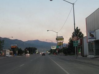
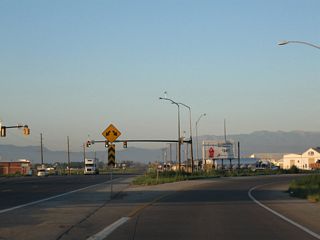
| One block ahead of the unmarked turn for SR 118 (300 North) north onto 300 North. Removed by 2014, an I-70 trailblazer overhead directed motorists to continue northward on the business loop. 10/18/04 |
|
| SR 118 resumes east along 300 North to SR 119 for Glenwood and along old U.S. 89 northeast to SR 24 at Sigurd. 07/15/17 |
|
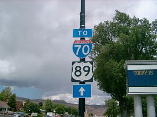
| An Interstate 70 and U.S. 89 trailblazer assembly stands beyond the Main Street intersection with SR 118 (300 North) in Richfield. 07/31/09 |
|
| Business Loop I-70/SR 120 (Main Street) shifts east beyond 1000 North to Flying J Drive and the exchange with I-70/U.S. 89. 07/15/17 |
|
| I-70/U.S. 89 overlap 16.4 miles northeast to Business Spur I-70/U.S. 50 at the city of Salina. 07/15/17 |
|
| U.S. 89 south follows Interstate 70 west for another 17 miles to Sevier. 07/15/17 |
|
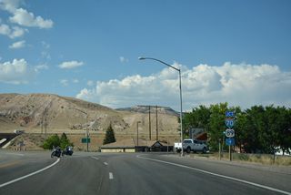
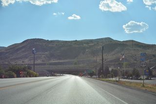
| Entering the diamond interchange (Exit 40) with I-70/U.S. 89 along Main Street north. 10/18/04 |
|
| Interstate 70 extends 40.10 miles west from the entrance ramp at the north end of Business Loop I-70/SR 120 (Main Street) to I-15 near Cove Fort. I-15 travels southwest from there to Las Vegas, Nevada. 07/15/17 |
|
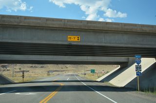
| CR 2117 and other unpaved roads tie into the north end of Main Street and the diamond interchange (Exit 40) joining I-70/U.S. 89 with Business Loop I-70/SR 120 south. 07/15/17 |
|
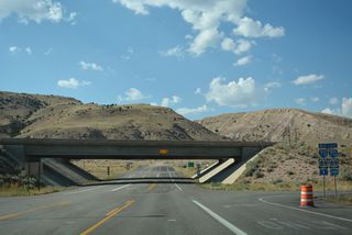
| I-70/U.S. 89 bypass Richfield to the west along the Pavant Range foothills and boundary of Fishlake National Forest. 07/15/17 |
|
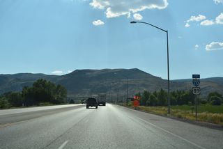
| Main Street south at the eastbound entrance ramp for I-70/U.S. 89 to Salina, Green River and Denver, Colorado. 08/14/10 |
|
| Business Loop I-70 west and SR 120 south are unmarked along Main Street leading away from I-70/U.S. 89. 07/15/17 |
|
| Advancing south toward Downtown Richfield, Business Loop I-70/SR 120 (Main Street) converge with SR 118 (300 North). SR 118, which is old U.S. 89, leads east from the city to SR 119 (Glenwood Road). SR 119 comprises a 8.76 mile long route to Glenwood and SR 24 for Capitol Reef National Park. 07/15/17 |
|
| Business Loop I-70 and SR 120 combine with SR 118 beyond 300 North for 1.6 miles along Main Street south. 07/15/17 |
|
| Previously suspended overhead on a span wire assembly, a trailblazer for I-70 appears south of SR 118 (300 East) on Main Street. There are no Business Loop I-70 shields posted along Main Street. 07/15/17 |
|
| The first reassurance marker for SR 120 south precedes the intersection with 200 North on Main Street. 07/15/17 |
|
| Business Loop I-70/SR 118-120 (Main Street) south at Center Street in Downtown Richfield. 07/15/17 |
|
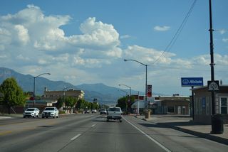
| A regional service center, most travel amenities can be found in Richfield. The succeeding traffic light is with 800 South. 07/15/17 |
|
| An array of motels and strip malls line Main Street south from Downtown Richfield. 08/14/10 |
|
| A SR 120 reassurance marker precedes 1000 South along S Main Street. 07/15/17 |
|
| Westbound Business Loop I-70/SR 118-120 (Main Street) at 1100 South. 07/15/17 |
|
| Business Loop I-70/SR 120 return to I-70 along 1300 South while SR 118 resumes south from Main Street along old U.S. 89 to Elsinore, Monroe and Joseph. 07/15/17 |
|
| Business Loop I-70 and SR 120 continue another 1.004 miles west on 1300 South from Main Street. SR 118 (Main Street) continues southward to Richfield Municipal Airport (RIF). 07/15/17, 08/15/10 |
|
| Business Loop I-70/SR 120 (1300 West) proceed west from 500 West to Airport Road and College Avenue north to Sevier Valley Center and Snow College. 07/15/17 |
|
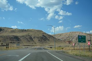
| Business Loop I-70/SR 120 (1300 South) conclude at a diamond interchange (Exit 37) with I-70/U.S. 89 just beyond lodging, fast food and big box retail. 07/15/17 |
|
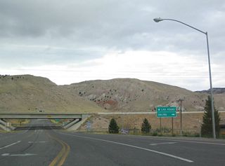
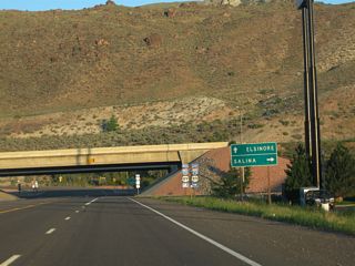
| Older guide signs for I-70/U.S. 89 at Richfield used the town of Elsinore in place of Las Vegas, Nevada for the westbound entrance ramp. 08/15/10 |
|
| Interstate 70 and U.S. 89 overlap for 40.89 miles between Sevier and Salina. Further north, U.S. 89 proceeds to Spanish Fork, Provo and Salt Lake City. I-70 curves east with U.S. 50 toward the San Rafael Swell and Green River. 07/15/17 |
|
| U.S. 89 extends south from I-70 west toward Panguitch and Kanab, then eastward toward Page, Arizona. 08/15/10 |
|
| Red Hills Drive extends beyond the end of Business Loop I-70/SR 120 (1300 South) along the west side of I-70. Interstate 70 continues 37.2 miles to I-15 near Cove Fort. I-15 travels south from there to Cedar City, St. George and Las Vegas, Nevada. 08/15/10 |
Page Updated 02-23-2022.


 East
East  North
North East
East 
 North
North East
East  North
North West
West  South
South West
West 
 South
South West
West  South
South
