|
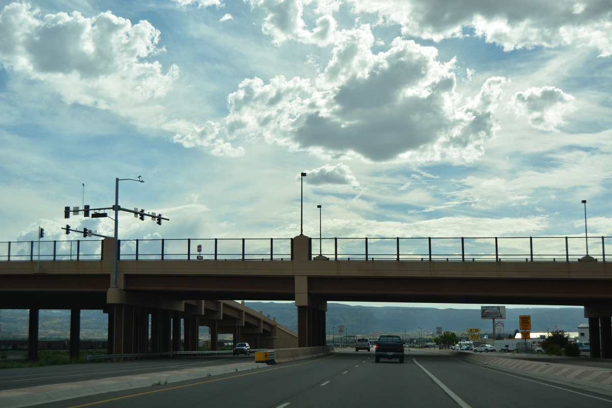
| Turning south from a trumpet interchange with I-70 by Moulton Valley, Business Loop I-70 travels an expressway into Clifton. 08/10/16 |
|
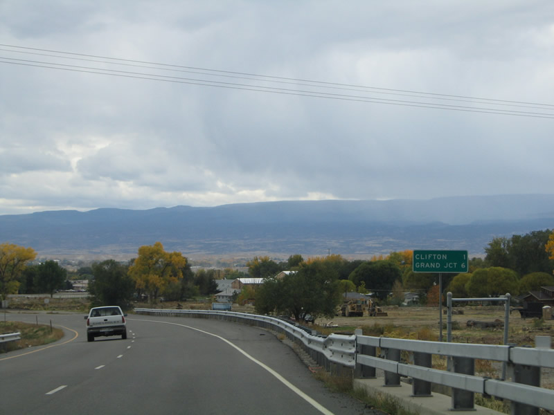
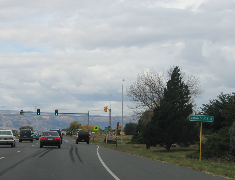
| A distance sign stands six miles from Downtown Grand Junction at the south end of the bridge across the Government Highline Canal. 10/18/04 |
|
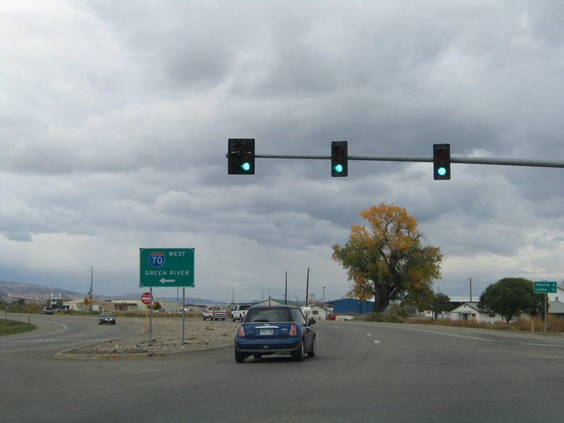
| A right in right out (RIRO) connection joins Business Loop I-70 westbound with the adjacent frontage road for a distributor business and F 1/4 Road. The expressway otherwise advances south to U.S. 6 (F Road). This junction shield was removed by 2007. 10/18/04 |
|
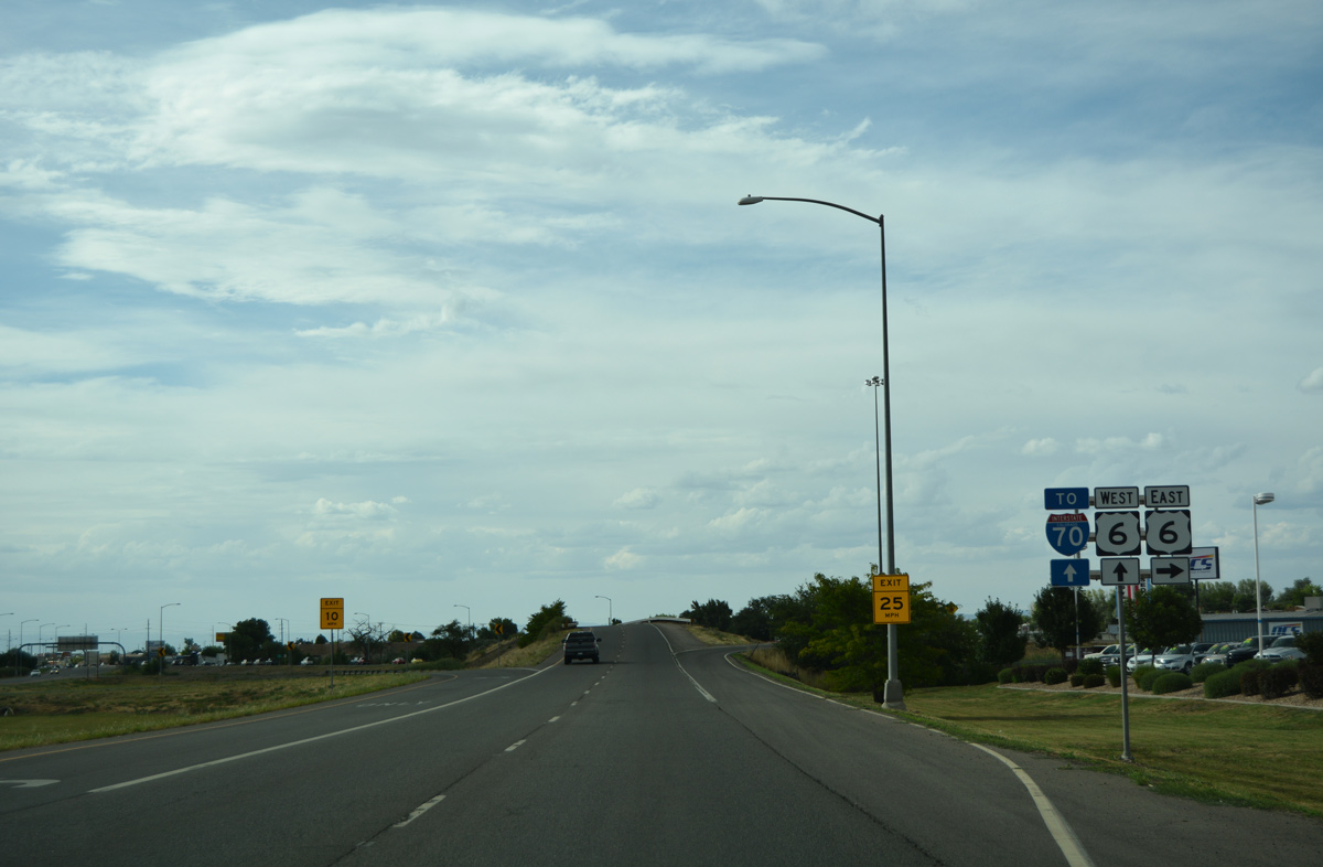
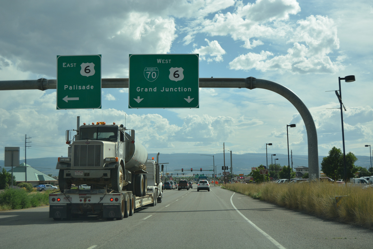
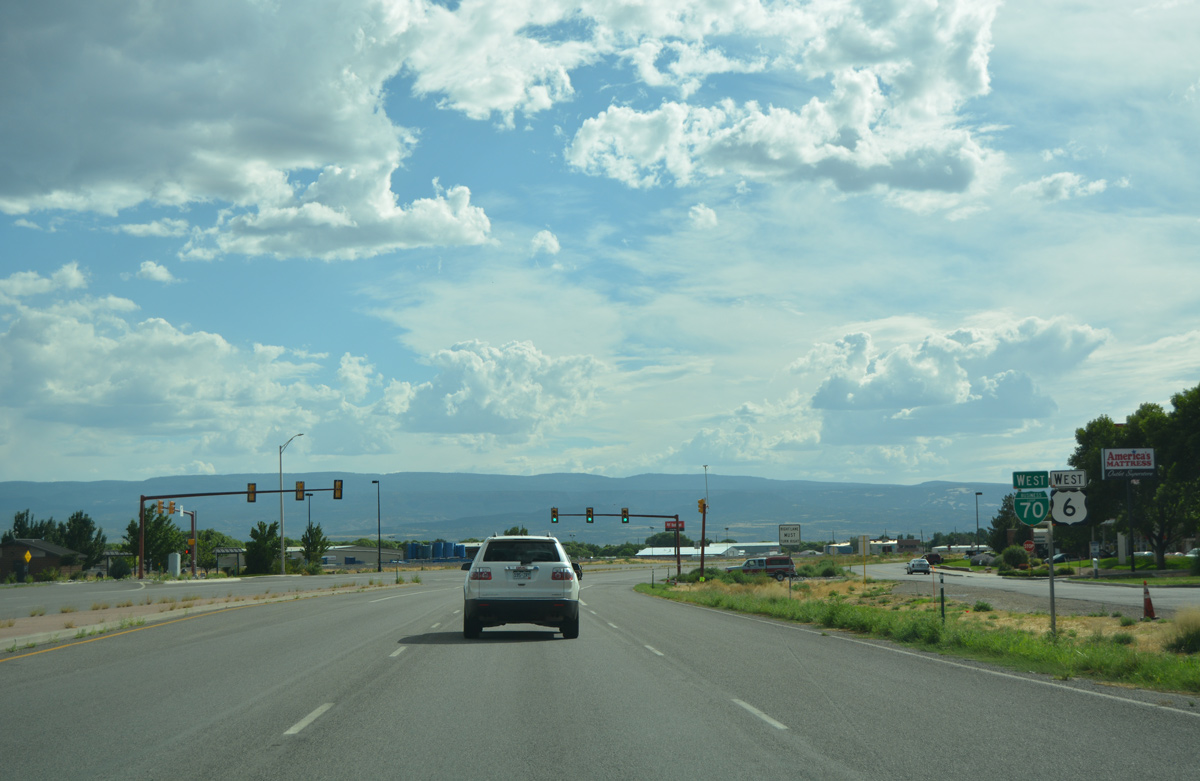
| U.S. 6 travels west from the town of Palisade through unincorporated Clifton to meet Business Loop I-70 on F Road. 08/10/16 |
|
| F Road extends west from U.S. 6 to suburban areas of Fruitvale and becoming Patterson Road through the city of Grand Junction. 08/10/16 |
|
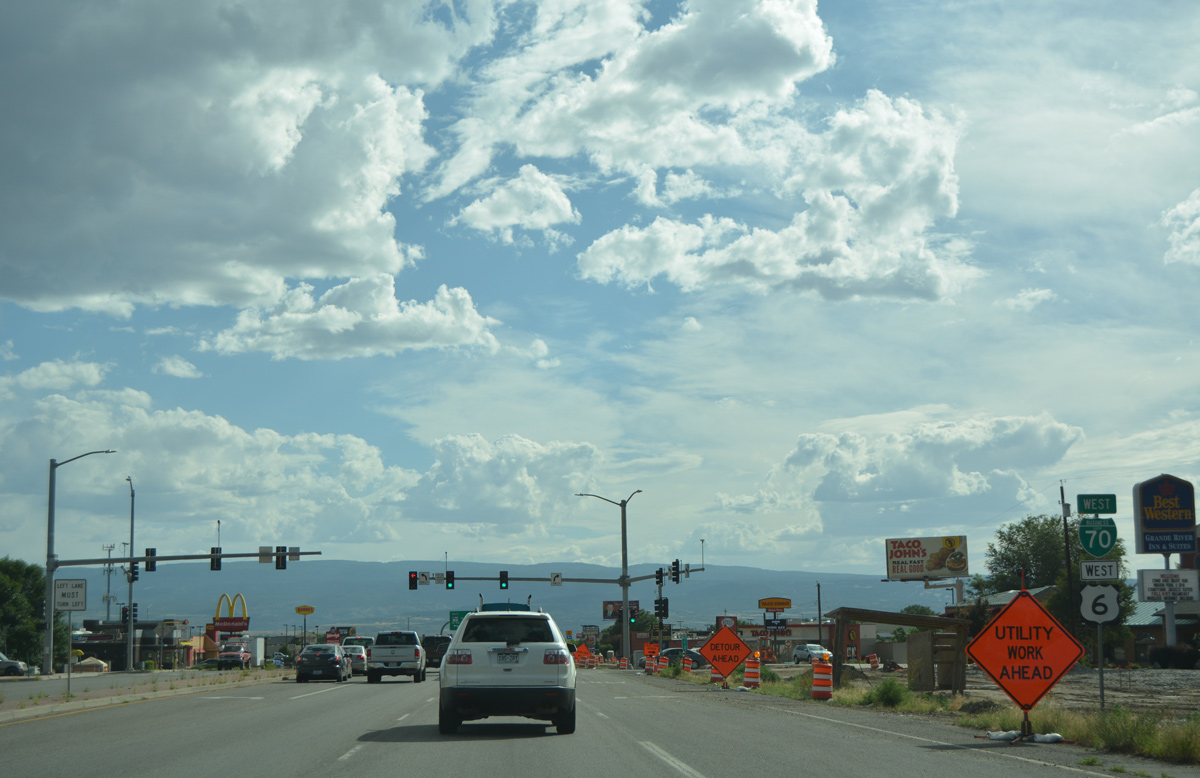
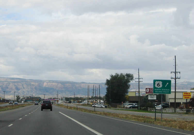
| Business Loop I-70/U.S. 6 combine for 2.8 miles from Clifton to North Avenue at Grand Junction. This scene looks at the commercial strip south of F Road prior to the installation of a traffic light for Peach Tree Shopping Center. 10/18/04 |
|
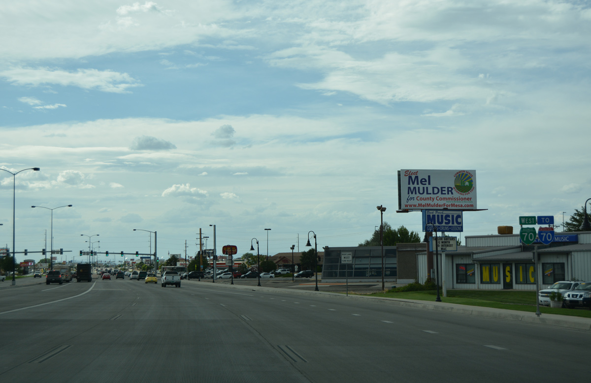
| A west side frontage road serves an array of businesses along Business Loop I-70/U.S. 6 to 32 Road and SH 141 south. The signalized intersection provides one of two access points for east side businesses. 08/10/16 |
|
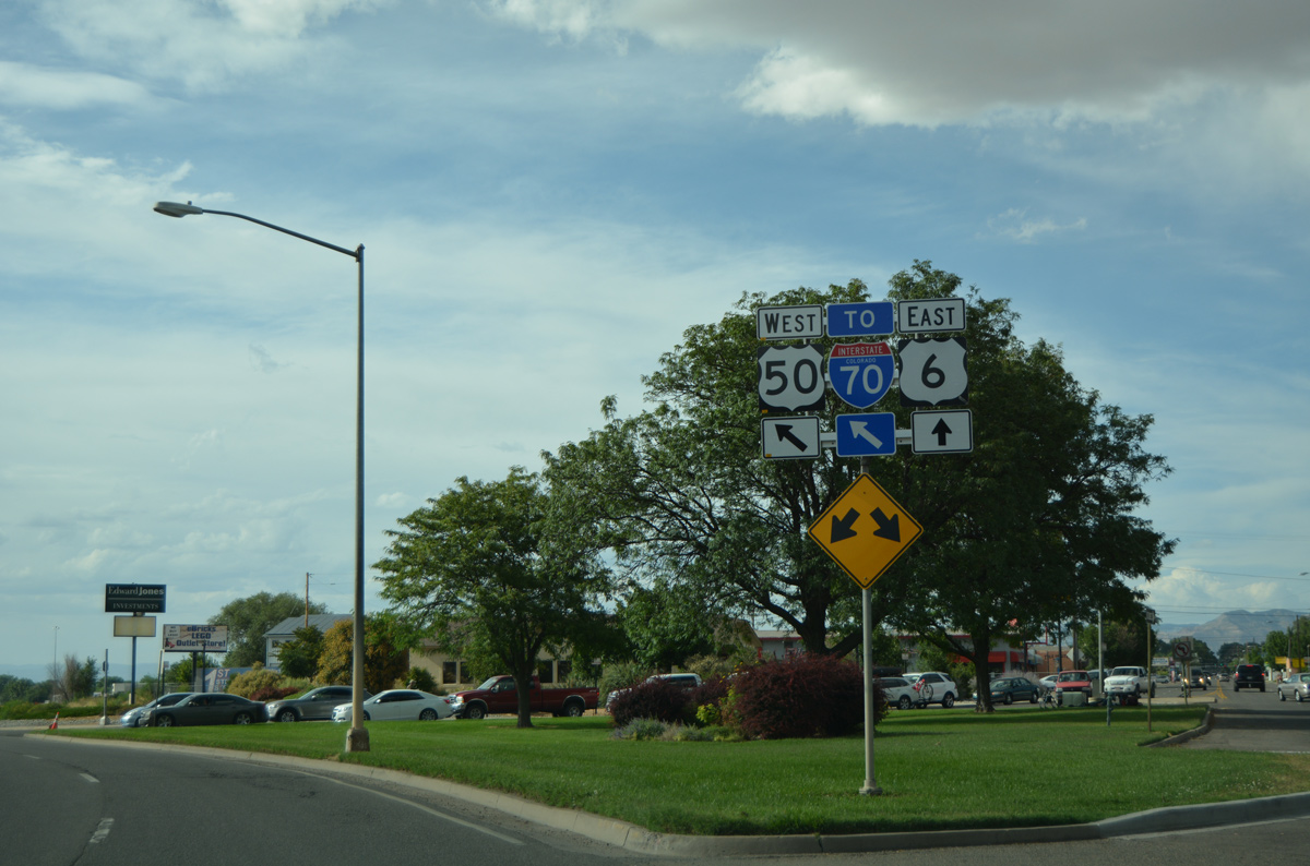
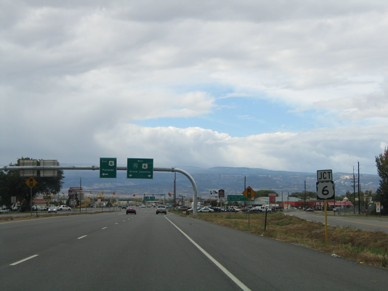
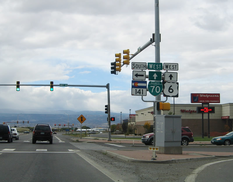
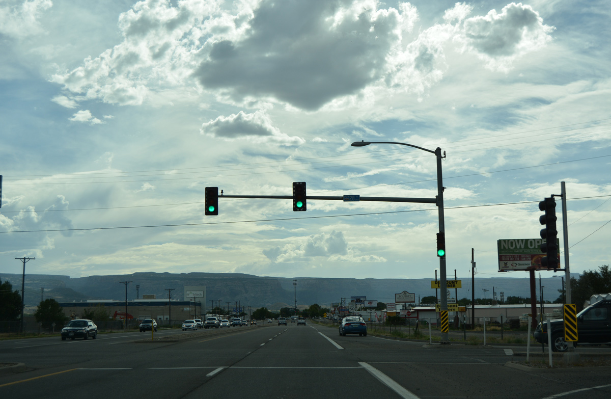
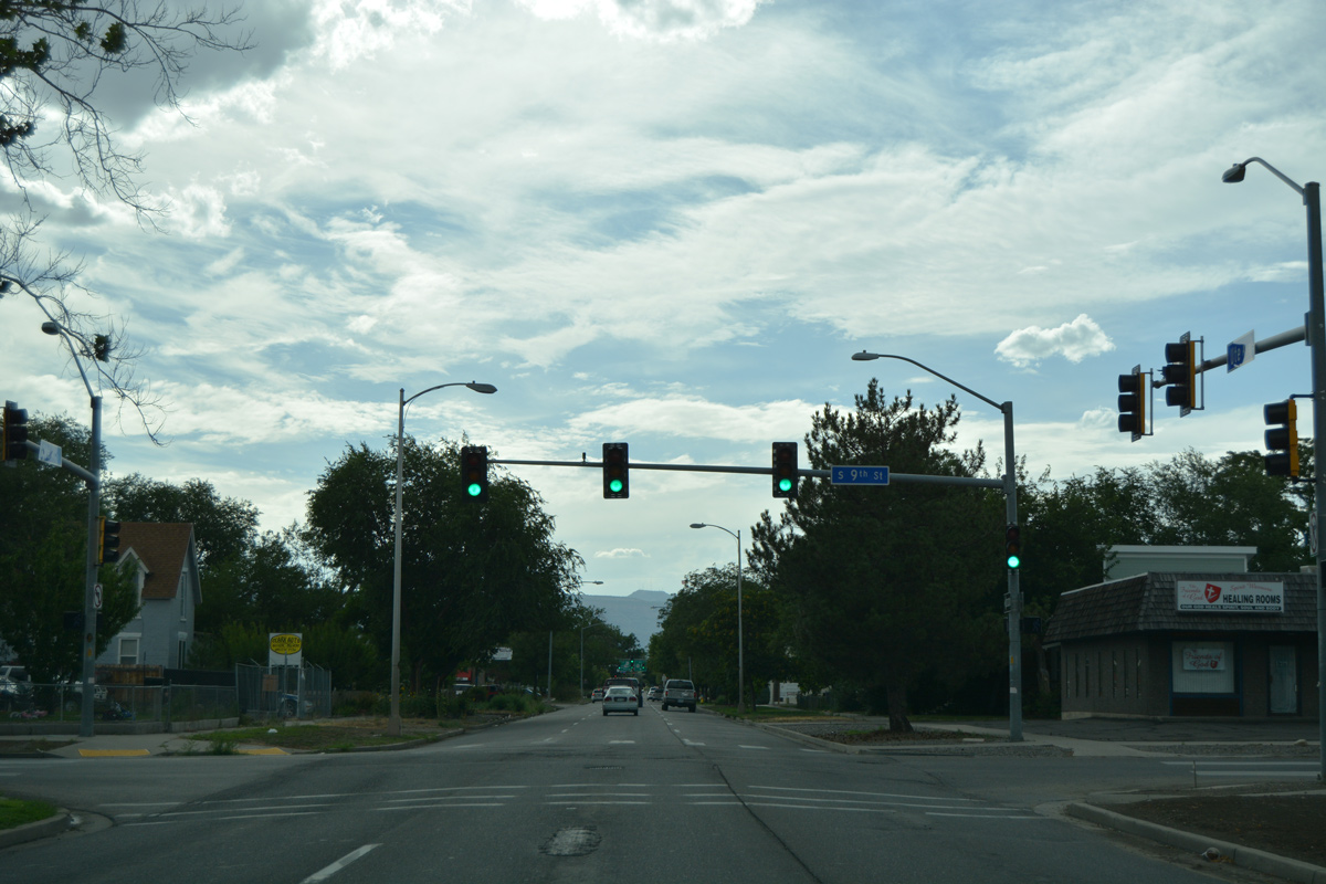
| SH 141 commences a 162.3 mile route south to U.S. 491 (old U.S. 666) near Dove Creek from Business Loop I-70 and U.S. 6 at Clifton. 10/18/04 |
|
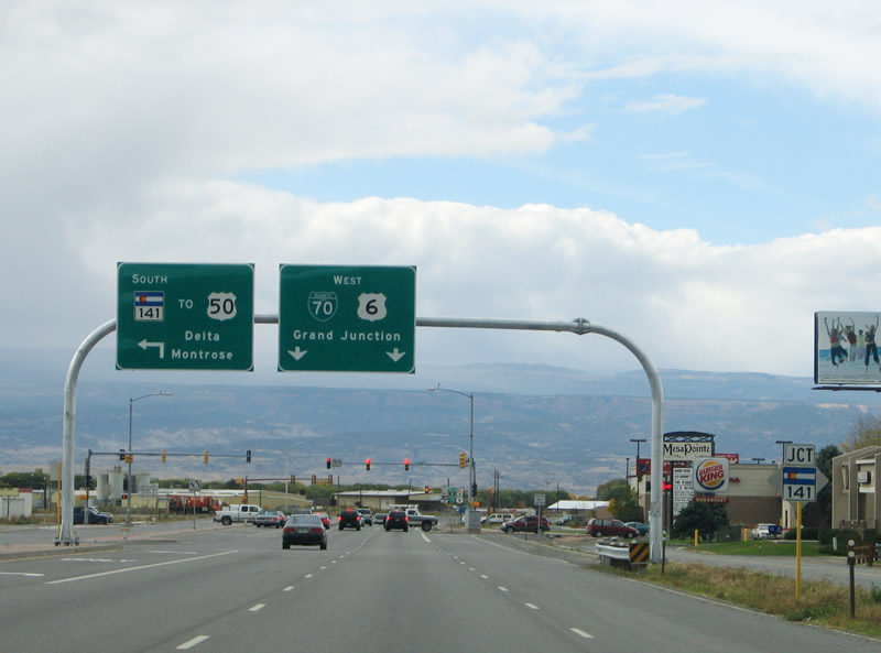
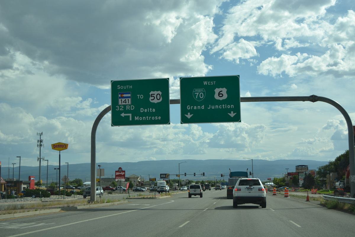
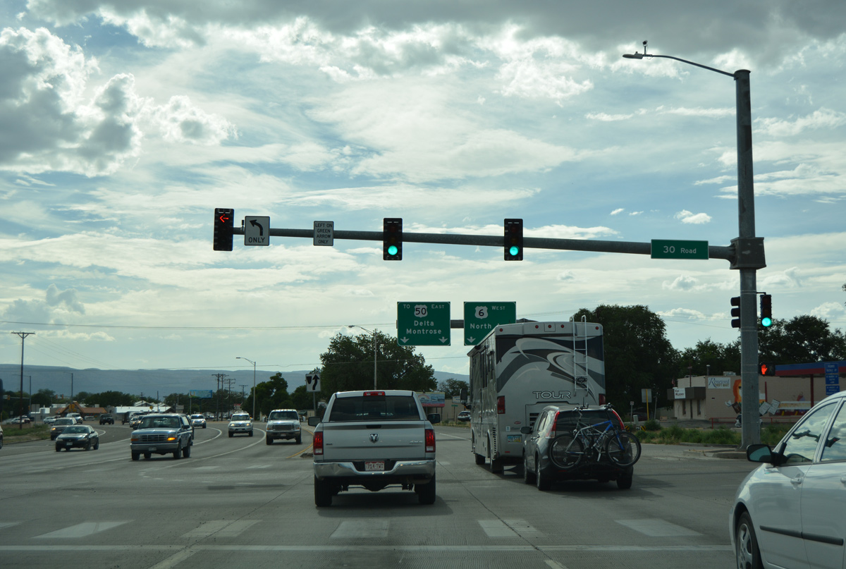
| 32nd Road ties into the north end of SH 141 from retail areas and neighborhoods to the west. SH 141 takes 32nd Road south across the Union Pacific Railroad as a principal arterial to U.S. 50, providing a bypass of Grand Junction for interests southeast to Delta and Montrose. 08/10/16 |
|
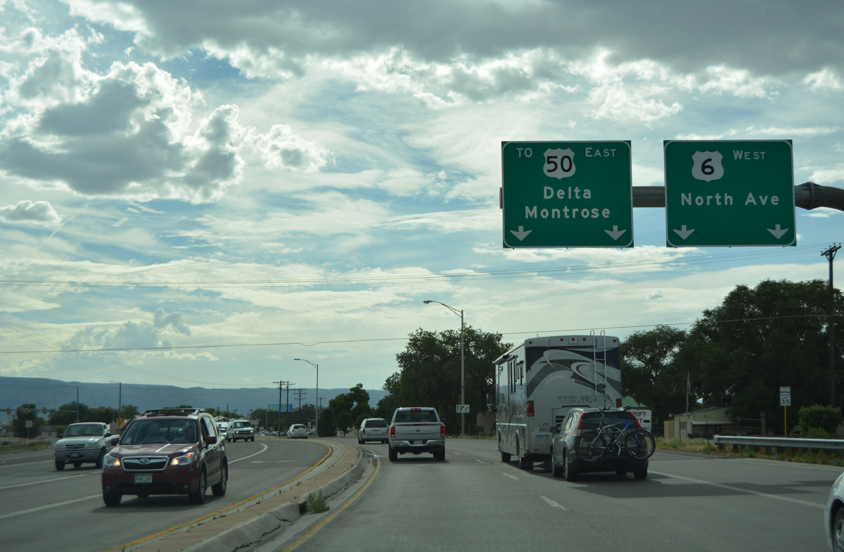
| Former shield assembly posted at SH 141 (32nd Road) south on Business Loop I-70/U.S. 6 west. SH 141 serves remote areas of Mesa, Montrose and San Miguel Counties beyond its split with U.S. 50. 10/18/04 |
|
| Beyond Coronado Plaza shopping center, Business Loop I-70/U.S. 6 west upgrade to a controlled access highway paralleling the UP Railroad. 08/10/16 |
|
| A small distance sign was once posted ahead of 31 1/2 Road for Grand Junction. Annexations of the city reach this intersection now. 10/18/04 |
|
| 31 1/2 Road spurs south across the UP Railroad to an industrial park, a pair of mobile home parks and E Road in west Clifton. 08/10/16 |
|
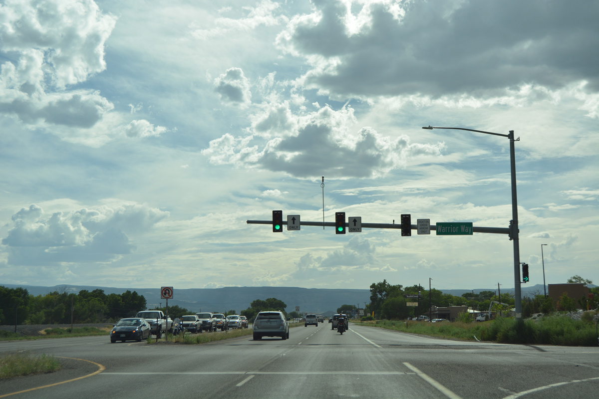
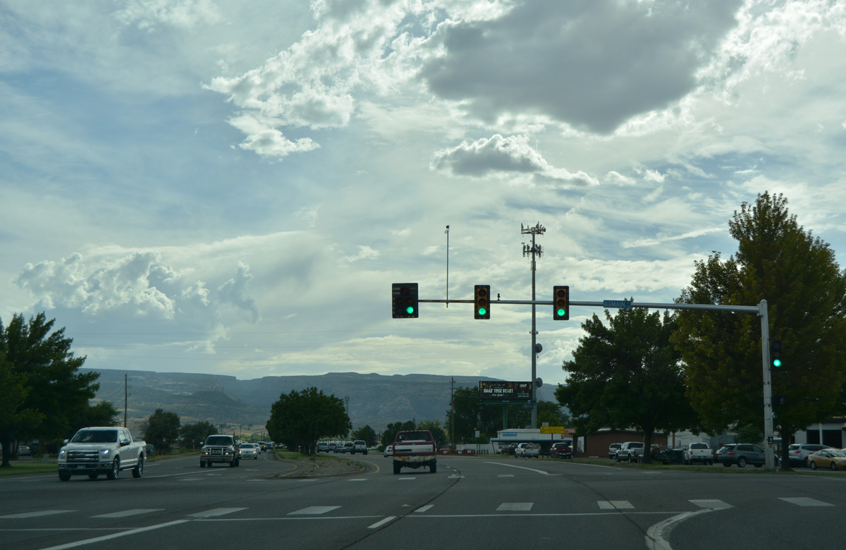
| Traffic lights at Warrior Way serve nearby Central High School, located off parallel E 1/2 Road. 08/10/16 |
|
| West of the Grand Valley Canal, Business Loop I-70/U.S. 6 advance to their separation at North Avenue. A small guide sign preceded the commercialized intersection with 30 Road. 10/18/04 |
|
| 30 Road travels north between east Grand Junction and Fruitvale and south to D Road at the Pear Park community. 08/10/16 |
|
| U.S. 6 shifts onto North Avenue west from Business Loop I-70 to Colorado Mesa University. The two routes will reconvene northwest of Downtown Grand Junction. 08/10/16 |
|
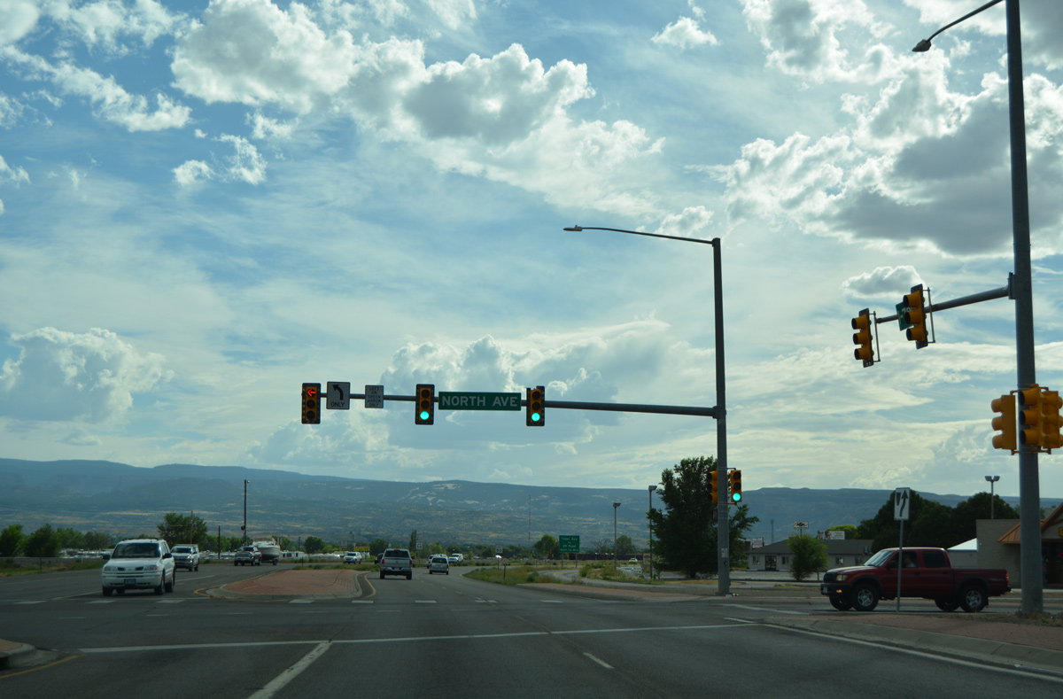
| North Avenue ends from the west at Business Loop I-70. The commercial boulevard serves an array of shopping centers and other retail west to Lincoln Park. 08/10/16 |
|
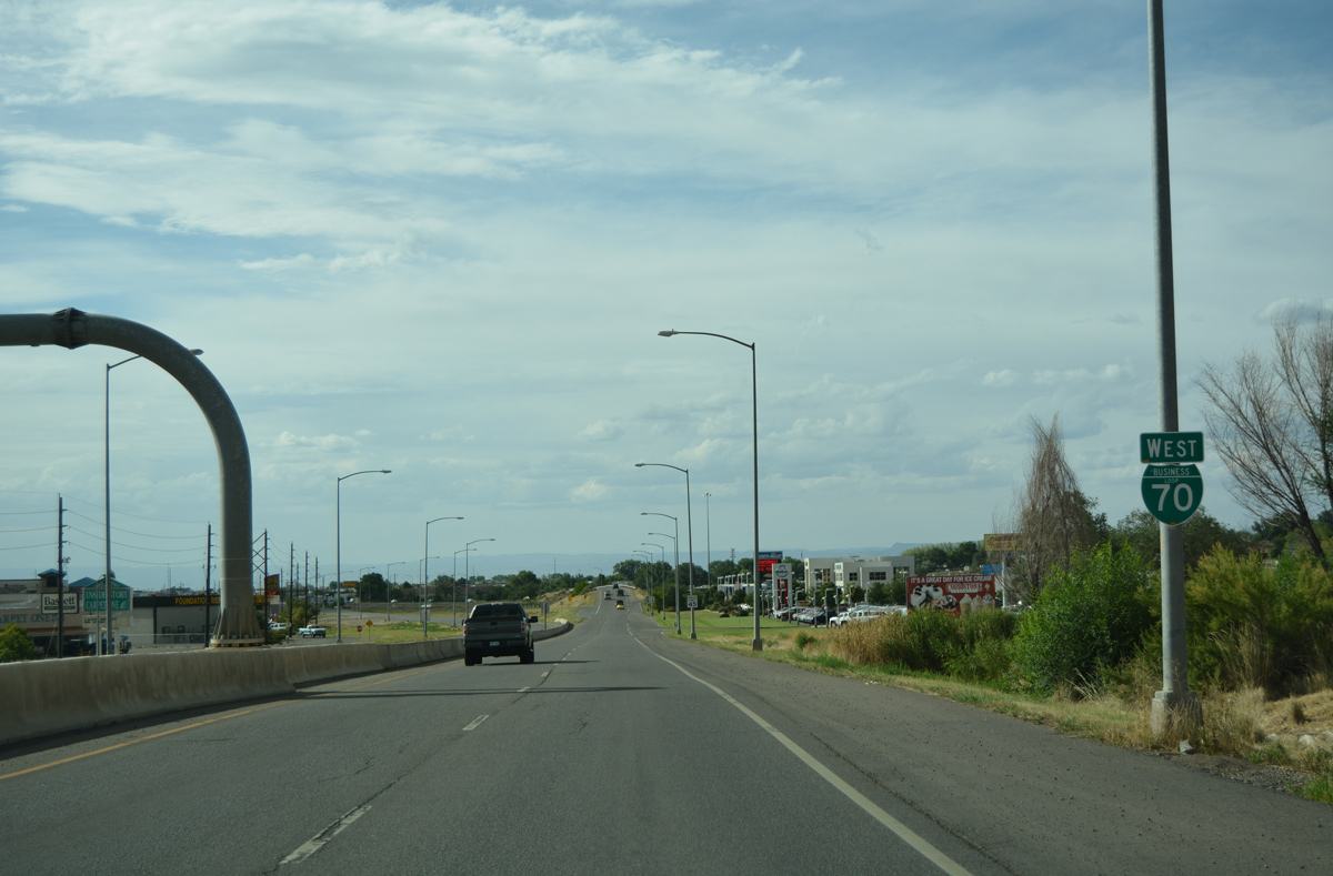
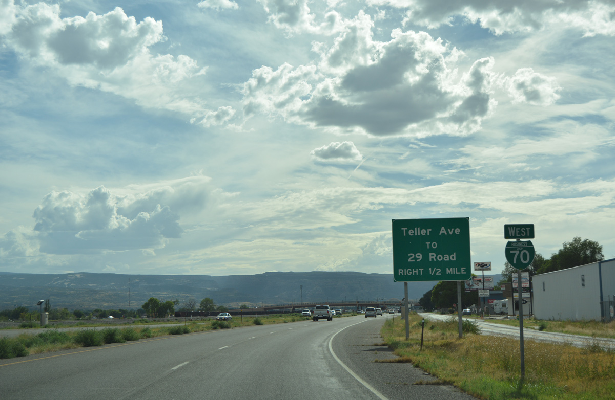
| Business Loop I-70 transitions to an expressway west from North Avenue. A RIRO connection lies one half mile ahead with Teller Avenue to 29 Road. 08/10/16 |
|
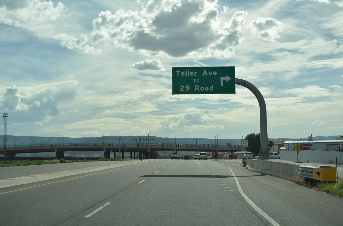
| 29 Road provides a direct route south across the Colorado River to Orchard Mesa. Construction of the 871 foot long bridge across Business Loop I-70 and the UP Railroad was completed in 2011 as part of a $19.3 million project.1,2 08/10/16 |
|
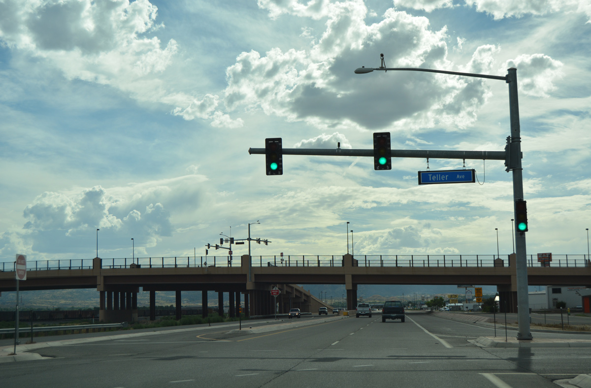
| Teller Avenue links Business Loop I-70 with 29 Road, midway between U.S. 6 (North Avenue) and its viaduct south to D 1/2 Road. 08/10/16 |
|
| A 322 foot long ramp joins eastbound Business Loop I-70 with the 29 Road viaduct. 29 Road comprises a five lane urban arterial with bike lanes and sidewalks.2 08/10/16 |
|
| Welcome to Grand Junction sign posted at 28 1/2 Road. Situated at an elevation of 4,590 feet, Grand Junction is home to around 60,000 as of 2013. Located east of Colorado National Monument along the north bank of the Colorado River and the Union Pacific Railroad, Grand Junction is the largest city within Mesa County. The city was founded in 1882 as a small city (approximately 643 acres). As of 2003, Grand Junction had gained approximately 21,209 acres as a result of numerous land and parcel annexations through the years. 08/10/16 |
|
| Business Loop I-70 kinks northward away from the Union Pacific Railroad to the signal at 28 Road north. 08/10/16 |
|
| Main Street branches west from an industrial area along Business Loop I-70 west toward the Grand Junction business district. 08/10/16 |
|
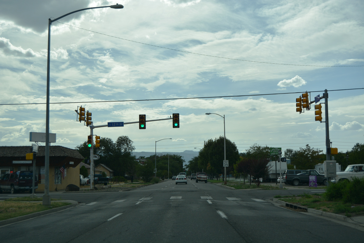
| Traffic on Business Loop I-70 separates at Desert Vista Park into the one way couplet of Ute Avenue west and Pitkin Avenue east. The ensuing westbound signal is located at 12th Street. 08/10/16 |
|
| Westbound Ute Avenue at 9th Street on the northwest corner of Emerson Park. Downtown Grand Junction lies ahead. 08/10/16 |
|
| Entering southern reaches of the Grand Junction business district at 7th Street on Ute Avenue west. 7th Street extends south to cross the Union Pacific Railroad at grade to Riverside Parkway and the Western Colorado Botanical Gardens. 08/10/16 |
|
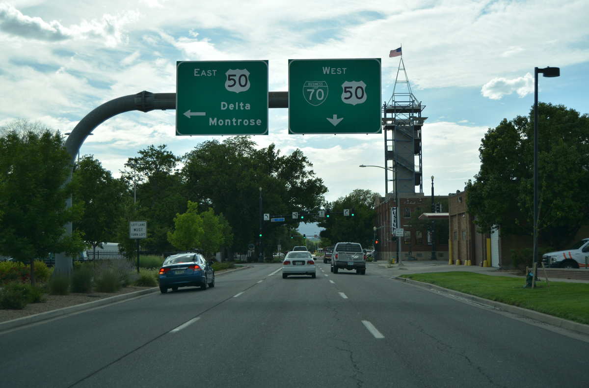
| Two blocks further west, Business Loop I-70 (Ute Avenue) intersects U.S. 50 (5th Street). U.S. 50 west spans the Colorado River from Orchard Mesa to combine with the business loop as an unsigned route to I-70. South of Grand Junction, U.S. 50 forms a four lane highway to Delta and Montrose. 08/10/16 |
|
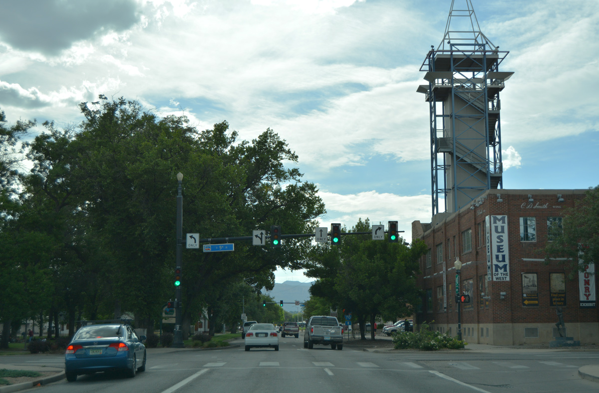
| 5th Street continues north from U.S. 50 and Ute Avenue into the heart of Downtown Grand Junction. 08/10/16 |
|
| There are few signs posted for U.S. 50 west from its implied merge with Business Loop I-70 west to I-70. CDOT inventories this stretch as just Route 070B for the business route. 10/18/04 |
|
| 4th Street flows south from Downtown to Business Loop I-70 (Ute Avenue) west. Main Street, two blocks to the north, represents the entertainment and historic core of Downtown. 08/10/16 |
|
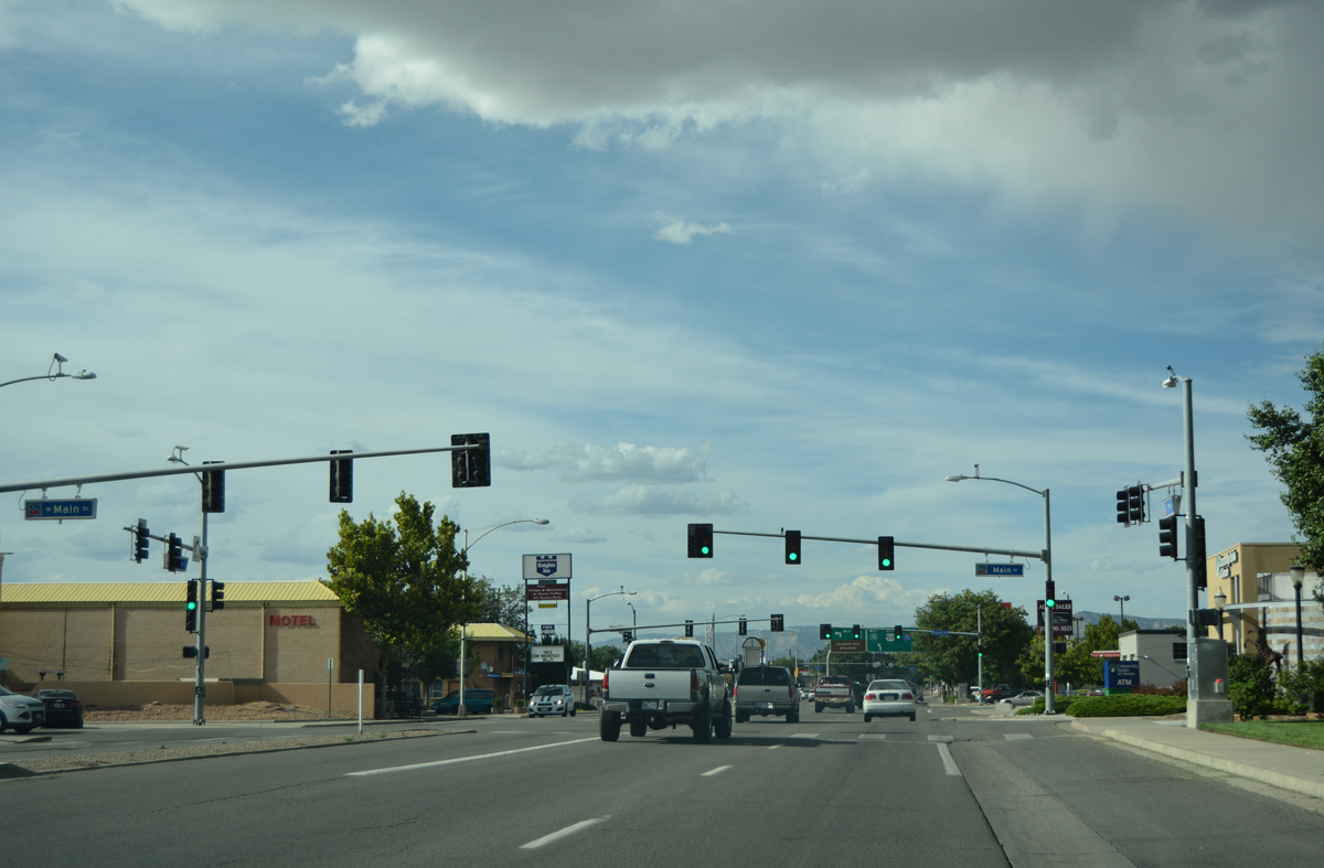
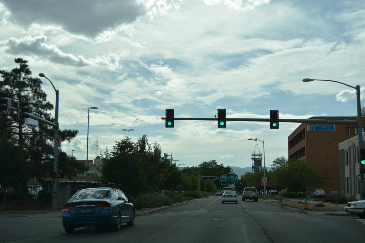
| West and eastbound components of Business Loop I-70/U.S. 50 recombine along 1st Street. 1st Street takes the route north five blocks along a commercial strip to Grand Avenue. Main Street intersects the commercial arterial at the first of three traffic lights. 08/10/16 |
|
| Rood Avenue follows at the succeeding signal east of the Mesa County Justice Center (county court house) and west of the Grand Junction business district. 08/10/16 |
|
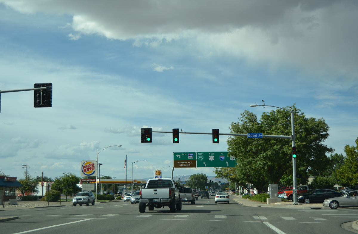
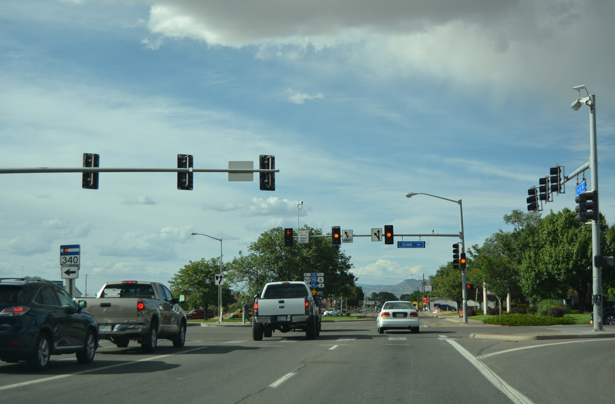
| SH 340 starts a 13.34 mile route west to Colorado National Monument from Business Loop I-70/U.S. 50 (1st Street) and Grand Avenue. The state highway ends at U.S. 6 in Fruita. 08/10/16 |
|
| SH 340 spans the Union Pacific Railroad and Colorado River west from Grand Avenue to the suburb of Redlands. 08/10/16 |
|
| Business Loop I-70/U.S. 50 angles northwest from 1st Street onto a controlled access arterial to U.S. 6 (North Avenue). 1st Street provides a cutoff to U.S. 6 east back to Colorado Mesa University. 08/10/16 |
|
| The previous shield array at the split with 1st Street acknowledged Business Loop I-70. U.S. 50 takes the place of this sign now. 10/18/04 |
|
| A RIRO connection lines the westbound lanes of Business Loop I-70/U.S. 50 between Spruce Street and North Avenue (U.S. 6 east). 08/10/16 |
|
| Ramps depart for the left turn to American Way west and U.S. 6 east as Business Loop I-70 westbound enters the wye interchange with North Avenue. 08/10/16 |
|
| Confirming marker for Business Loop I-70 west after North Avenue. U.S. 6 and U.S. 50 are omitted as the arterial expands to six lanes. 08/10/16 |
|
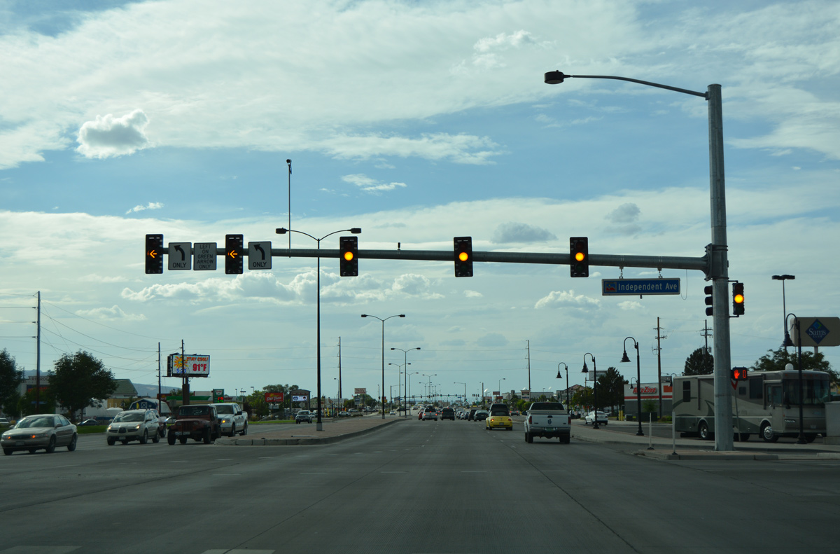
| Independent Avenue west ties into Business Loop I-70 west across from Rimrock Avenue south to the Rimrock Marketplace big box retail center. 08/10/16 |
|
| Frontage roads were added to Business Loop I-70 by 2012 to serve an array of businesses lining the arterial. 25 Road north from Riverside Parkway meets the six lane roadway at the subsequent traffic light. 08/10/16 |
|
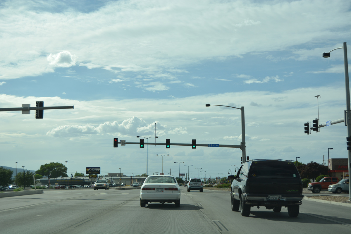
| Progressing northwest, Business Loop I-70 and U.S. 6-50 intersect 24 1/2 Road by Mesa Mall. Within Mesa County, major north-south roads are given numerical designations, decreasing by mileage from eastern border to the western border. So, 24 1/2 Road is 24.5 miles east of the state line. 08/10/16 |
|
| An access road connects Business Loop I-70 with Mesa Mall directly beyond 24 1/2 Road. The enclosed retail center was built in 1980. 08/10/16 |
|
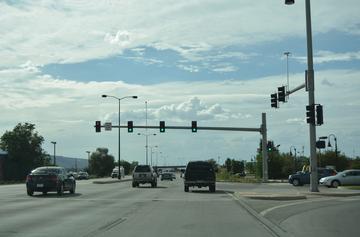
| An off-ramp departs from Business Loop I-70 westbound next for 24 Road. 24 Road constitutes a north-south arterial to Interstate 70 at Exit 28. 08/10/16 |
|
| Business Loop I-70 shifts closer to the adjacent Union Pacific Railroad at the parclo interchange with 24 Road. 08/10/16 |
|
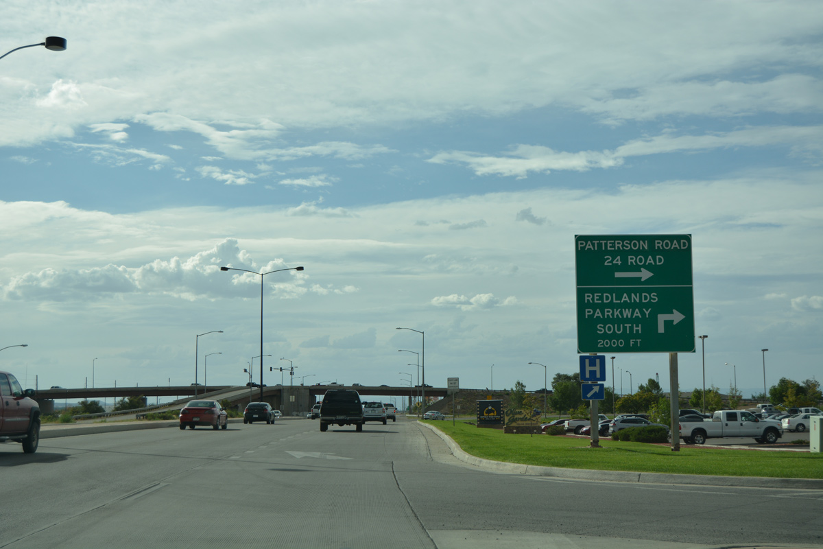
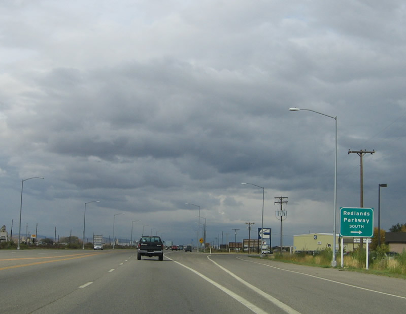
| A RIRO set up joins Business Loop I-70 west with Patterson Road east to 24 Road. 24 Road south becomes Redlands Parkway west to Redlands and SH 340 near Colorado National Monument. 10/18/04 |
|
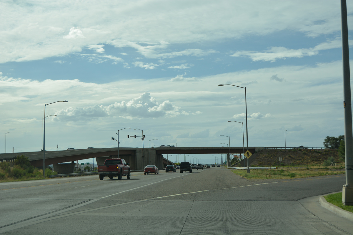
| Confirming markers for Business Loop I-70/U.S. 6 west posted after the ramps for 24 Road. The business route reduces to four lanes at this point. 10/18/04 |
|
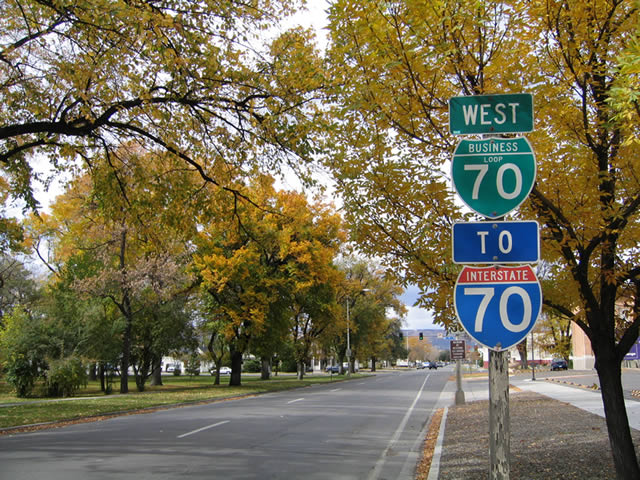
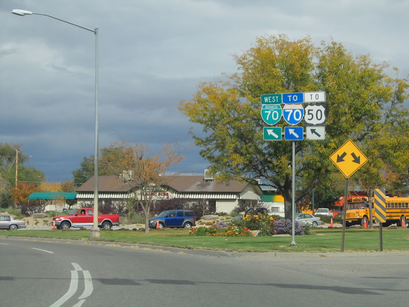
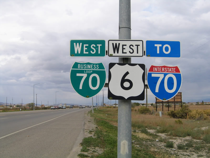
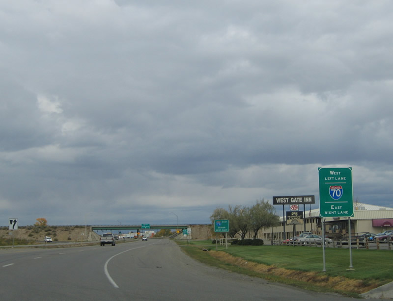
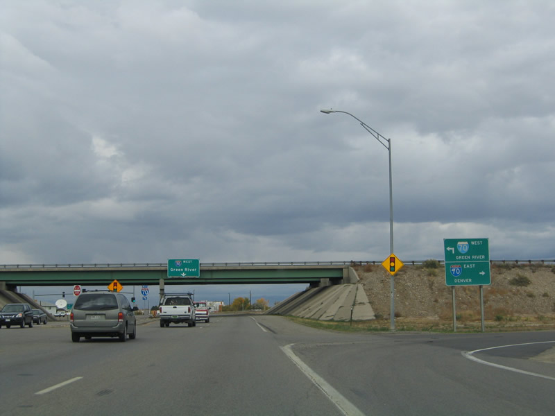
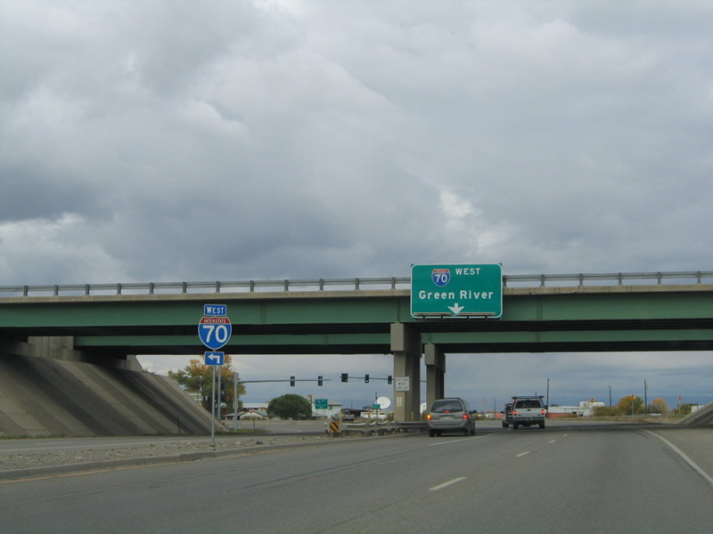
| Business Loop I-70 concludes at a diverging diamond interchange (DDI) with Interstate 70 on the northwest side of Grand Junction. A CDOT and city of Grand Junction project rebuilt the exchange in 2013. 10/18/04 |
|
| These photos show the previous diamond interchange joining U.S. 6 and U.S. 50 with Interstate 70. 10/18/04 |
Page Updated 03-27-2017.

 West
West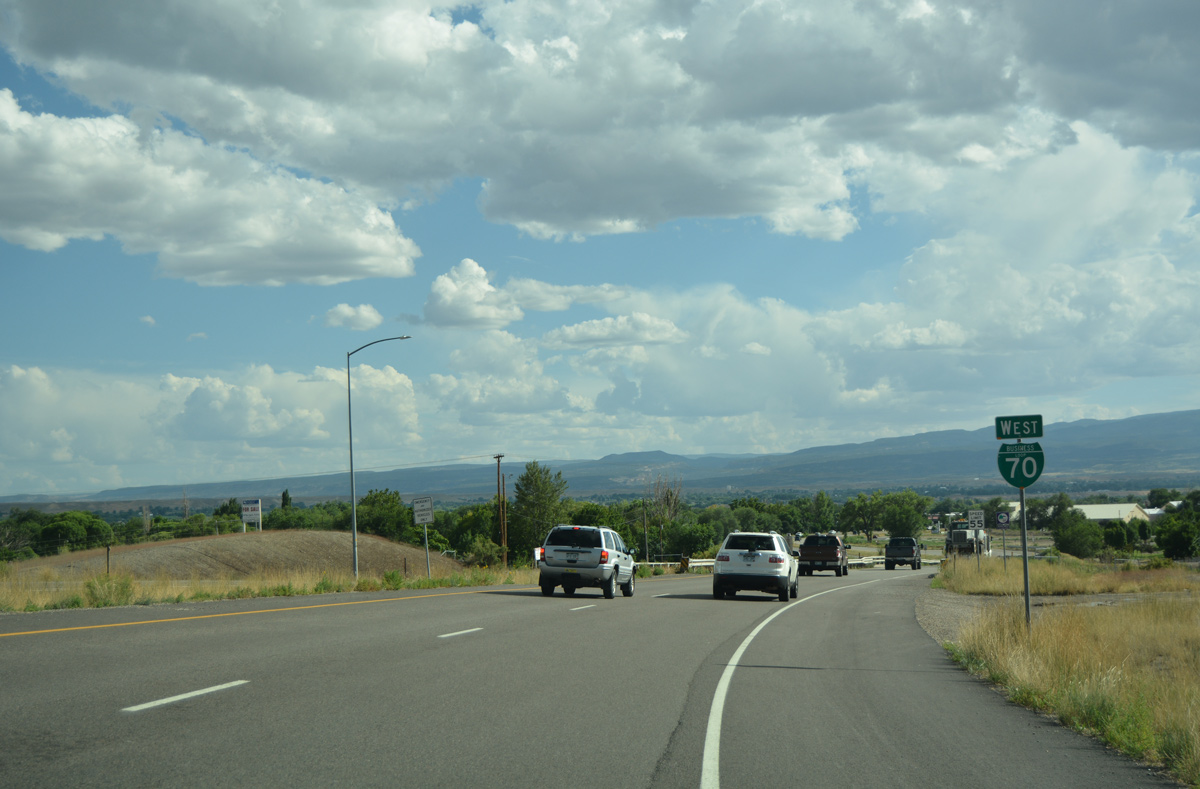

 West
West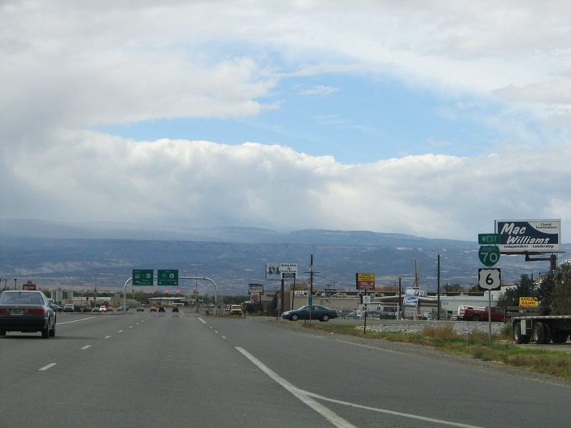

 West
West