|
| Interstate 75 continues 14 miles from Renfro Valley to Berea in southern Madison County. Two interchanges serve the city. 05/01/05 |
|
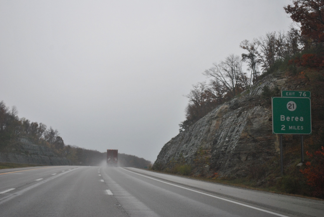
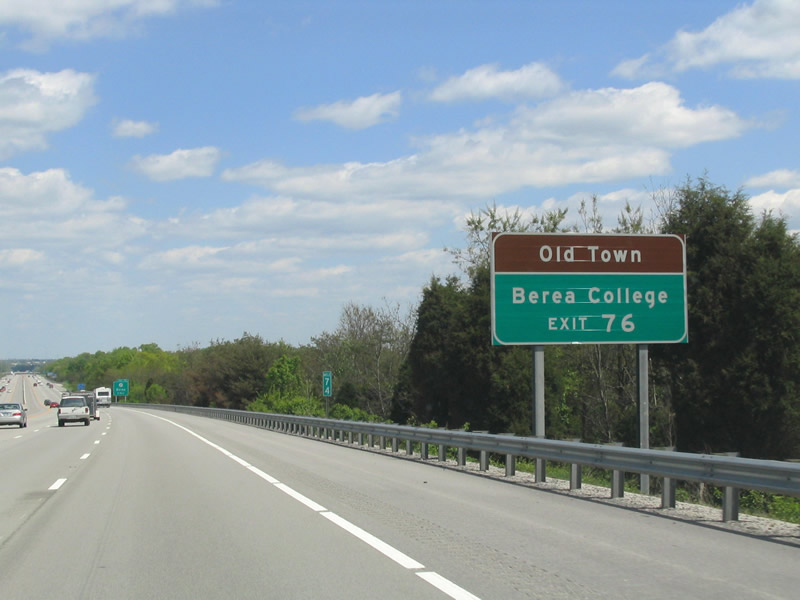
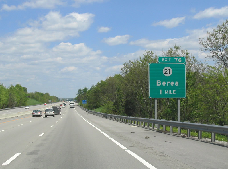
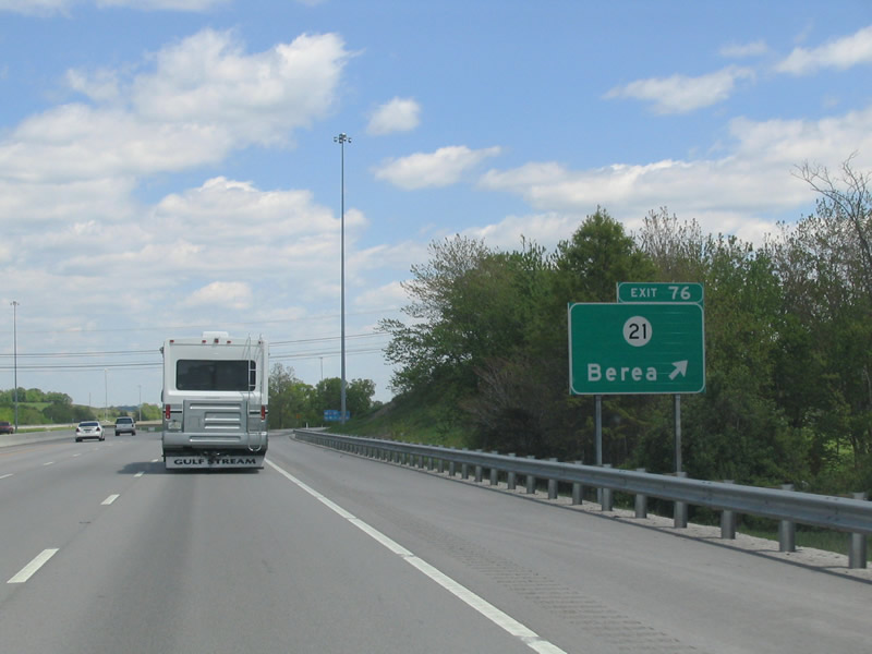
| Meeting I-75 at a diamond interchange (Exit 76) on the south side of Berea is KY 21 (Chestnut Street). 11/03/11 |
|
| Berea features the Old Town district, a concentration of artisans studios, and is home of Berea College. 05/01/05 |
|
| KY 21 joins U.S. 25 just east of Exit 76 for a brief overlap to Berea College. Overall KY 21 is a short route, joining Berea with U.S. 421 at Bighill to the east and KY 52 at Paint Lick to the west. 05/01/05 |
|
| Industrial parks line both sides of the exchange at KY 21 (Chestnut Street). with residential areas spreading east to U.S. 25. U.S. 25 diverges from Interstate 75 to the Blue Grass Army Depot north from Berea. 05/01/05 |
|
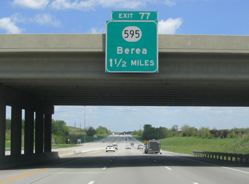
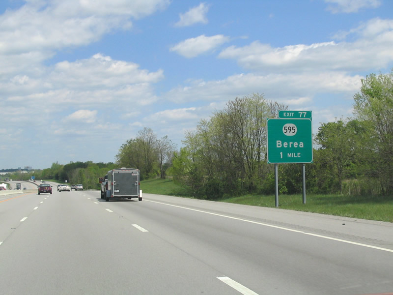
| Attached to the KY 21 overpass is the 1.5 mile sign for KY 595 (Exit 77). KY 595 stems northwest from U.S. 25 at Berea College to meet Interstate 75 at the Kentucky Artisan Cente. 05/01/05 |
|
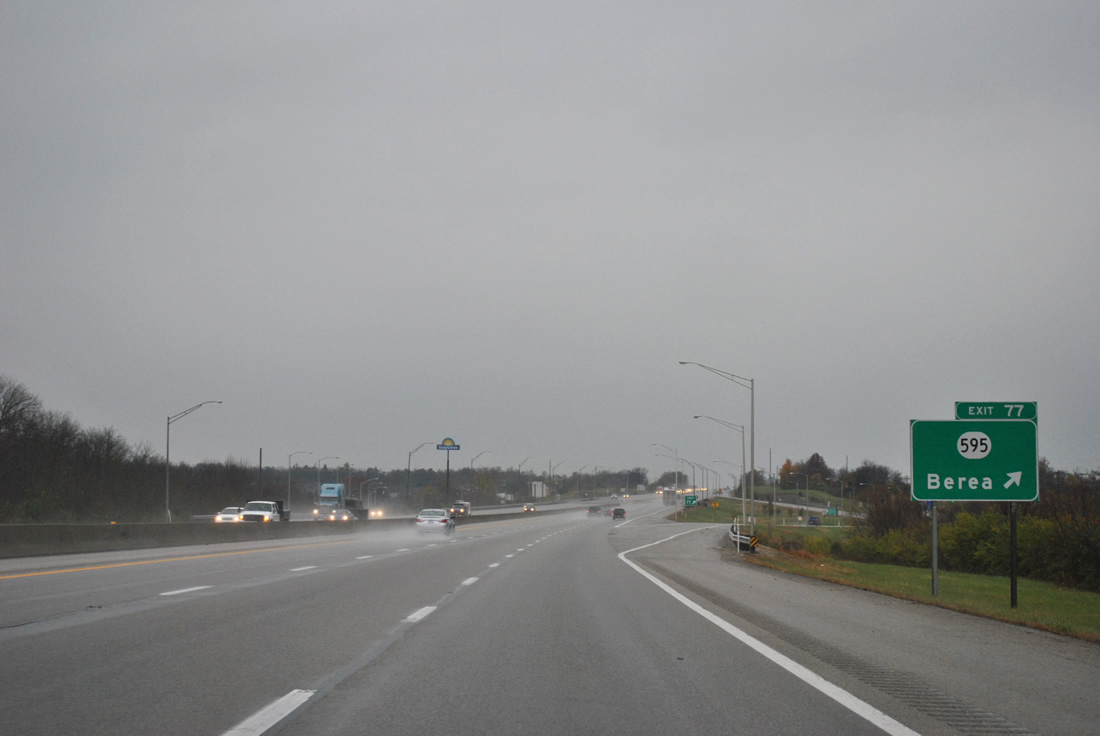
| KY 595 (Walnut Meadow Road) meets Interstate 75 at a diamond interchange (Exit 77). 05/01/05 |
|
| Exit 77 carries drivers to KY 595 (Walnut Meadow Road) from Interstate 75 north. KY 595 meanders northwest to KY 52 at Happy Landing. 11/03/11 |
|
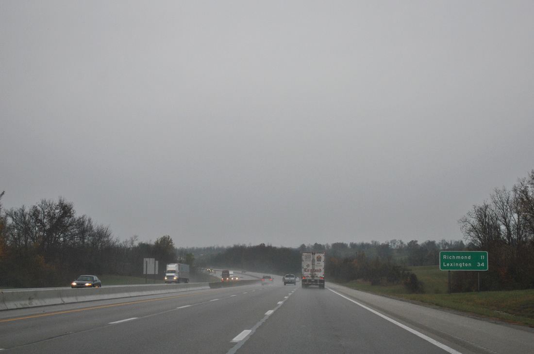
| Richmond, named after the city in Virginia and home to 31,364 as of the 2010 census, is the next northbound city of Interstate 75 in 11 miles. Lexington follows in 34 miles. 11/03/11 |
|
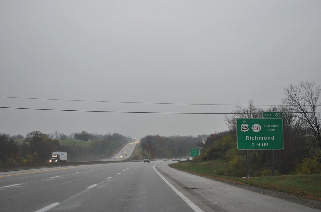
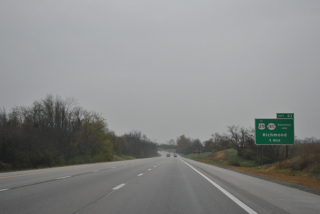
| A roadway separation accommodates the terrain north of Silver Creek. Followed the split is a new interchange (Exit 83), built in 2005, between Interstate 75 and Duncannon Lane. 11/03/11 |
|
| Duncannon Lane (KY 2872) links the freeway with KY 2881 (Caleast Road) to the west and U.S. 25 (Berea Road), at the Bluegrass Army Depot, to the east. 11/03/11 |
|
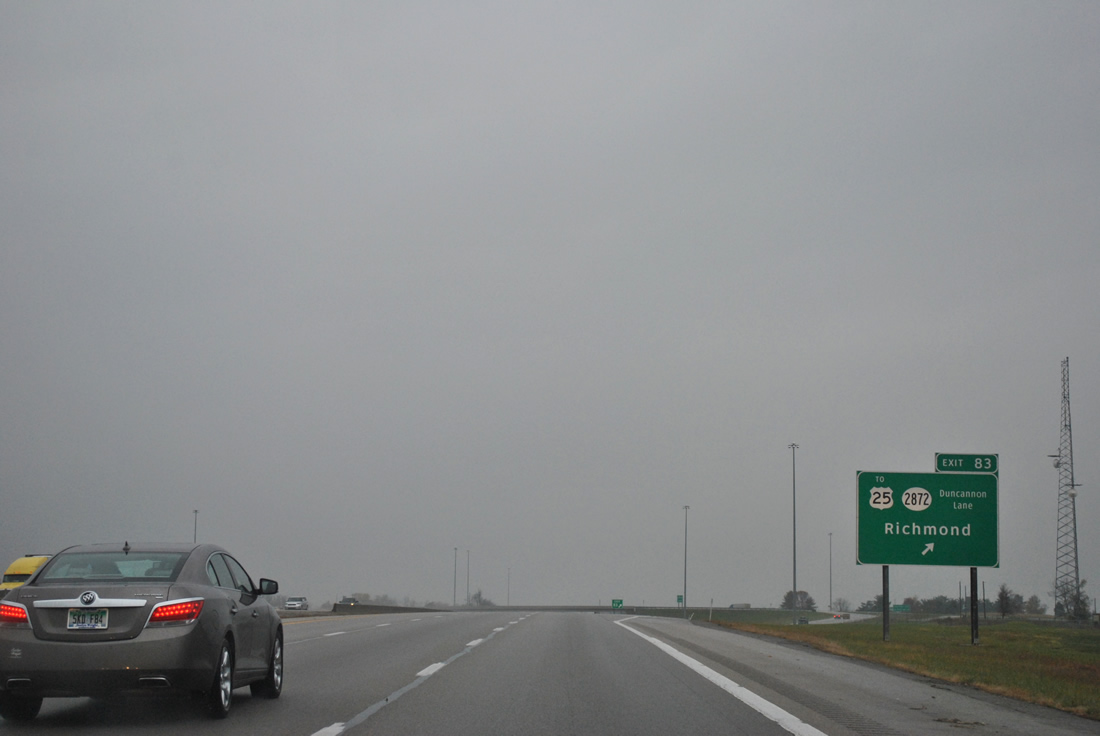
| Interstate 75 northbound at the Exit 83 off-ramp to KY 2872 (Duncannon Lane). The diamond interchange replaced a set of rest areas just south of Duncannon Lane. 11/03/11 |
|
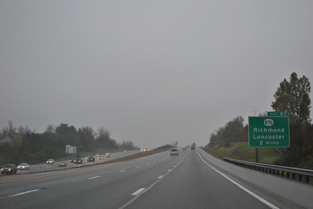
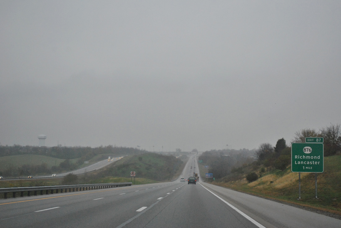
| Interstate 75 approaches the first of two exits to the city of Richmond at KY 876 (Exit 87). 11/03/11 |
|
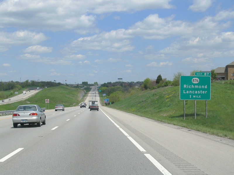
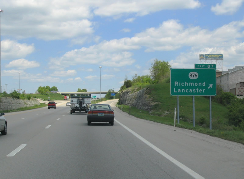
| Interstate 75 passes over KY 52 (Lancaster Road) one mile south of a diamond interchange (Exit 87) with KY 876 (Eastern Avenue) east and Barnes Hill Road west. KY 52 connects the Madison County seat of Richmond with Garrard County's seat of Lancaster (U.S. 27). 05/01/05 |
|
| Interstate 75 passes over KY 52 (Lancaster Road) one mile south of a diamond interchange (Exit 87) with KY 876 (Eastern Avenue) east and Barnes Hill Road west. KY 52 connects the Madison County seat of Richmond with Garrard County's seat of Lancaster (U.S. 27). 11/03/11 |
|
| KY 876 represents the southern third of the four lane bypass route of Richmond to the east. U.S. 25 & 421 overtake the bypass along the east and north sides with a business loop through the city. Eastern Kentucky University lies at the junction of KY 876 and 52 (Lancaster Avenue). 05/01/05 |
|
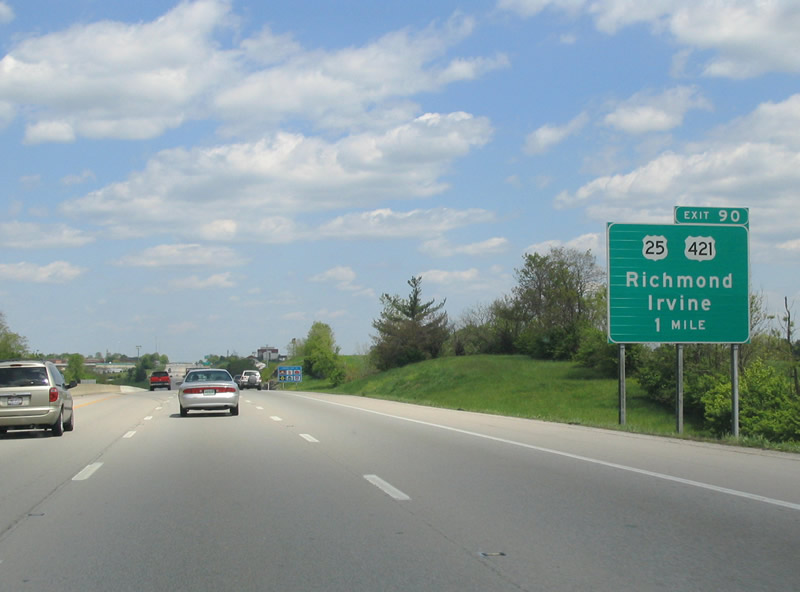
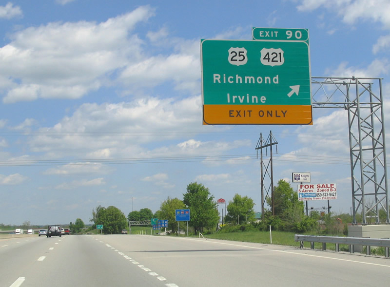
| Known as the Dr. Robert R. Martin Bypass on the north side, U.S. 25 & 421 retrieve their business loop (Lexington Road) and meet Interstate 75 at the Exit 90 parclo interchange. 05/01/05 |
|
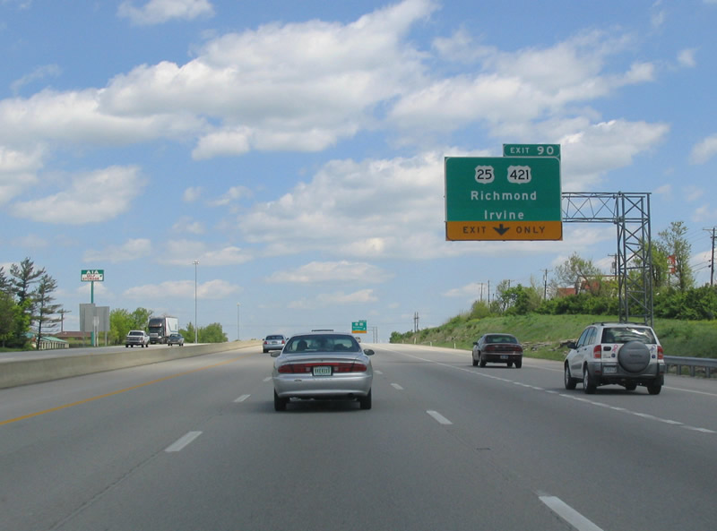
| Interstate 75 north gains a lane for Exit 90 (U.S. 25 & 421). U.S. 25 & 421 combine alongside the Bluegrass Army Depot and remain coupled to Lexington. 05/01/05 |
|
| U.S. 25 & 421 south to KY 52 east lead drivers to Irvine in Estill County. U.S. 25 & 421 north otherwise parallel Interstate 75 closely from Exit 90 north to Fayette County / Lexington. 05/01/05 |
|
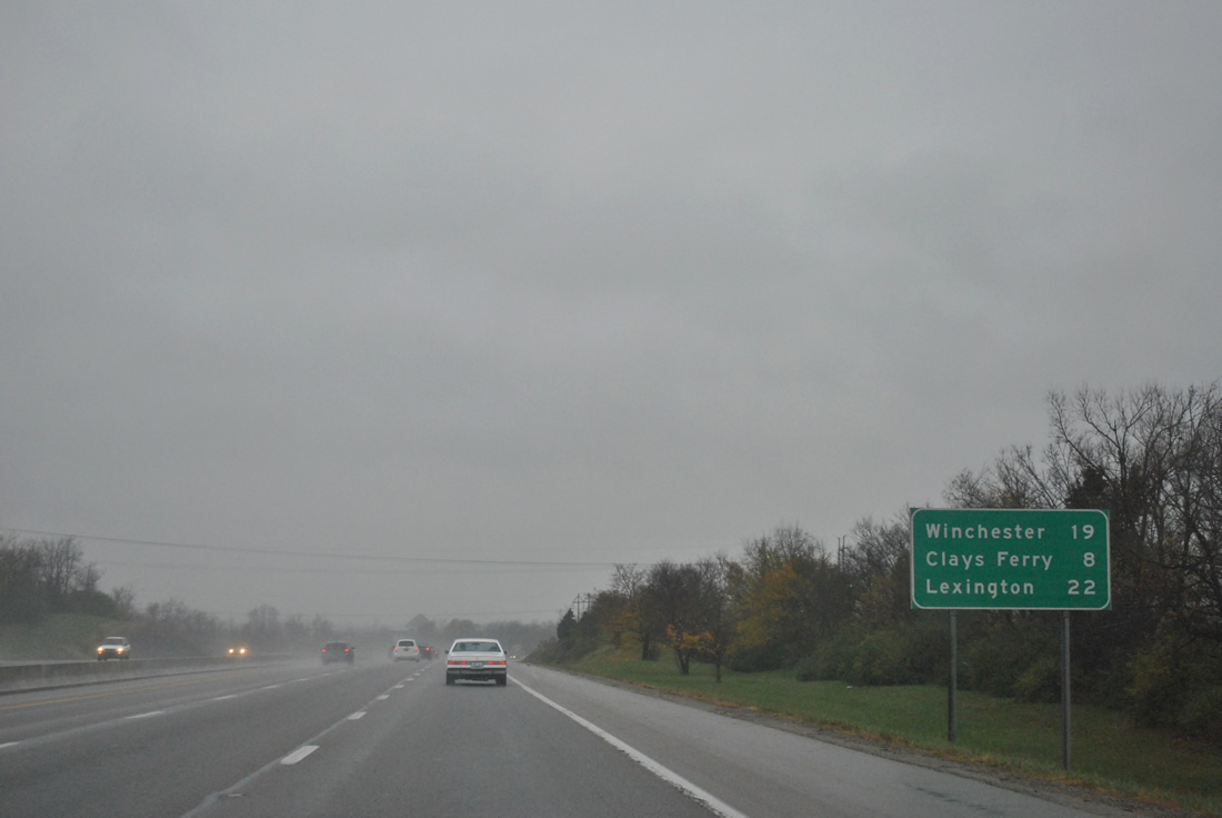
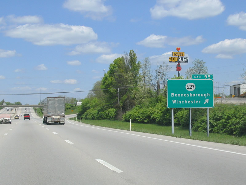
| Winchester, the destination of KY 627 (former U.S. 227) north is included on this northbound distance sign posted 22 miles south of Lexington. 11/03/11 |
|
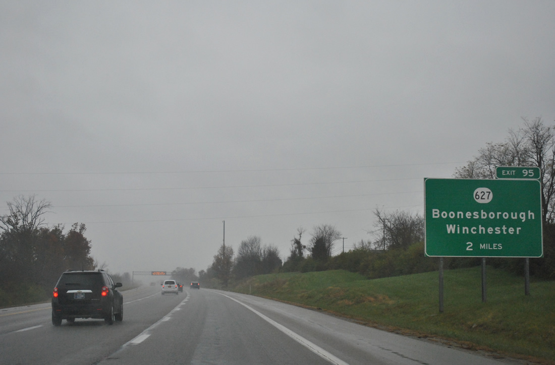
| KY 627 (Boonesborough Road) meets Interstate 75 at the next interchange (Exit 95). 11/03/11 |
|
| KY 627 ends at parallel U.S. 25/421 just west of the diamond interchange at Exit 95. Northeast, the state route heads to Boonesborough, the Clark County seat of Winchester and Interstate 64. 11/03/11 |
|
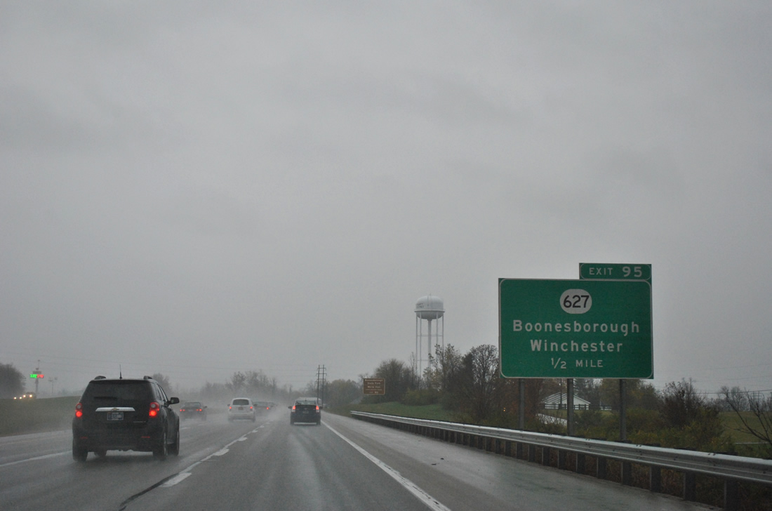
| Interstate 75 northbound reaches Exit 95 to KY 627 (Boonesborough Road). KY 627 north to Paris was a part of the old U.S. 227 alignment from Richmond to Carrollton. The designation originally followed what is now KY 388 between Richmond and Boonesborough. When Interstate 75 was completed, U.S. 227 shifted onto the current KY 627 alignment southwest to Exit 95 before it was decommissioned in 1972. 05/01/05 |
|
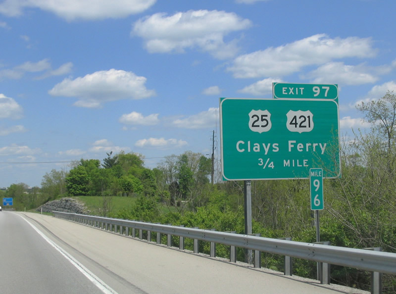
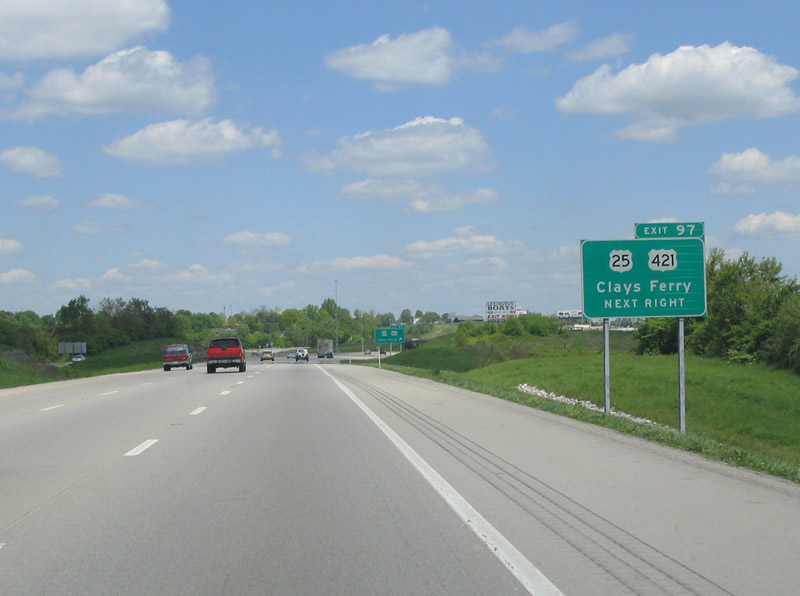
| U.S. 25 & 421 tie into Interstate 75 at Clay's Ferry (Exit 97) for a brief merge across the Kentucky River. 05/01/05 |
|
| U.S. 25 & 421 lead south back to KY 627 and Exit 95 from the Exit 97 diamond interchange. 05/01/05 |
|
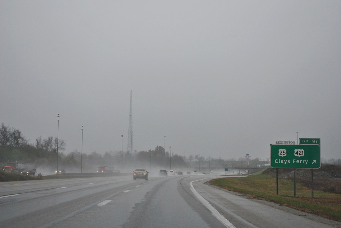
| Interstate 75 north at the merge with U.S. 25/421 north (Exit 97). Old U.S. 25 still exists as KY 2328, a narrow road that snakes its way down to the Kentucky River and a narrow truss bridge. 11/03/11 |
|
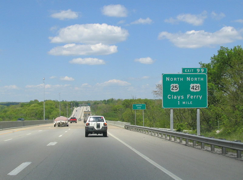
| I-75/U.S. 25-421 combine across the high level Kentucky River Bridge. The routes part ways at a parclo interchange (Exit 99) north of Clay's Ferry. 05/01/05 |
|
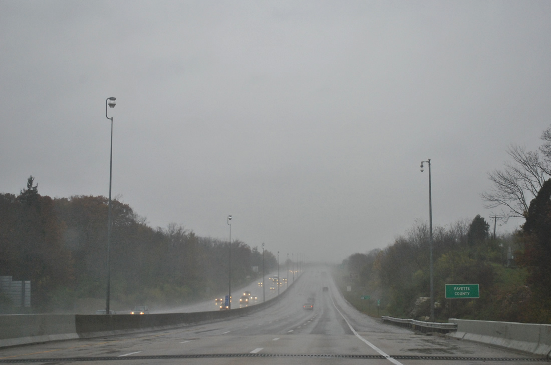
| The trio enter the southern tip of Fayette County at the midpoint of the Kentucky River bridge. 11/03/11 |
|
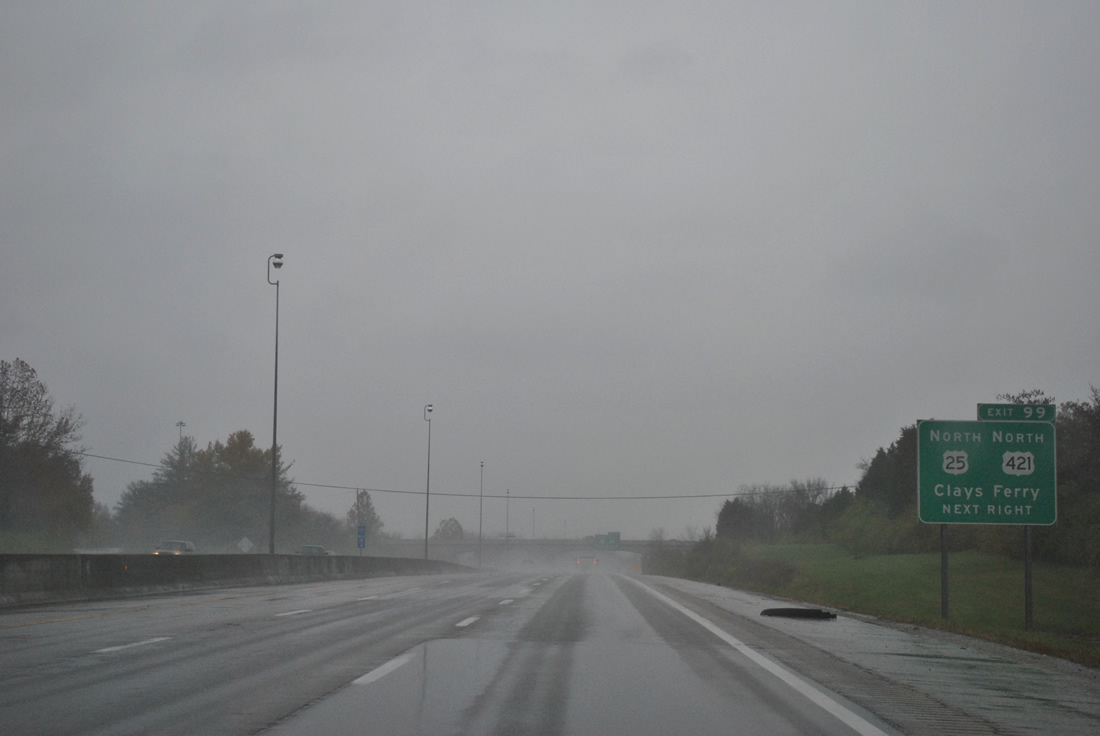
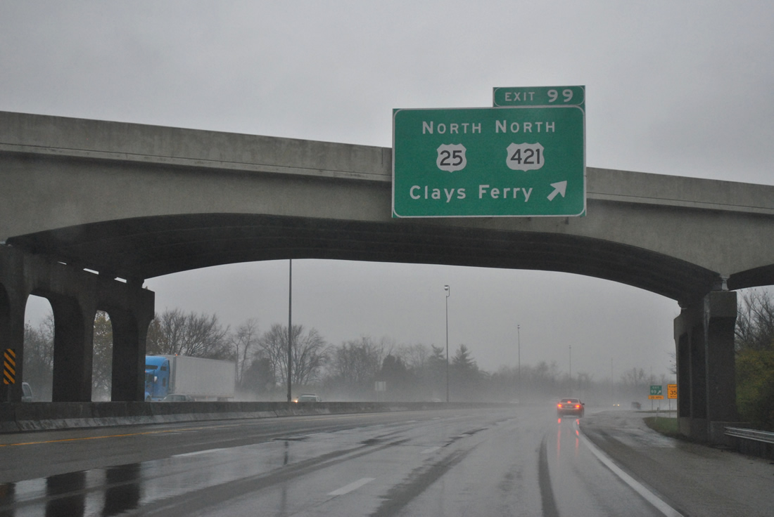
| KY 2328, the pre-1946 routing of U.S. 25, ties into Exit 99 from the south. U.S. 25 & 421 resume along their parallel alignment of Interstate 75 (Old Richmond Road) to the north. 11/03/11 |
|
| Exit 99 loops onto Old Richmond Road for U.S. 25 & 421 north. U.S. 25 & 421 follow Interstate 75 closely to KY 1973, where they turn northwest into Lexington. 11/12/04 |
|
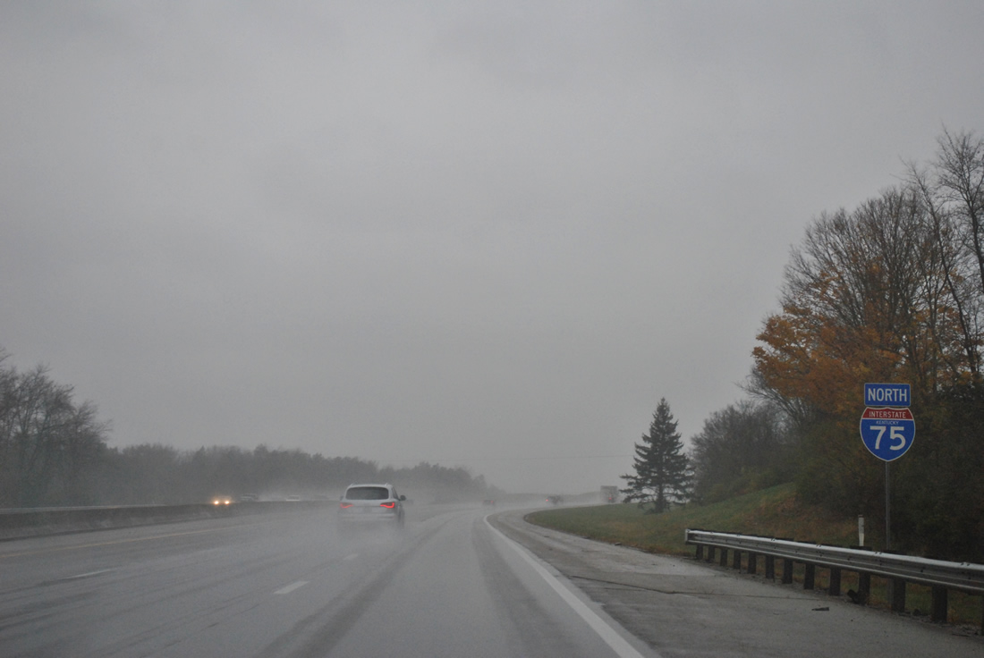
| New state-named shields were installed in Fayette County by 2010 for both Interstates 64 and 75. Pictured here is the northbound reassurance marker posted after Exit 99. 11/03/11 |
|
| Fayette County and Lexington form one government, so technically Interstate 75 is already within Lexington proper. Five interchanges serve the city over the next 14 miles. 05/01/05 |
|
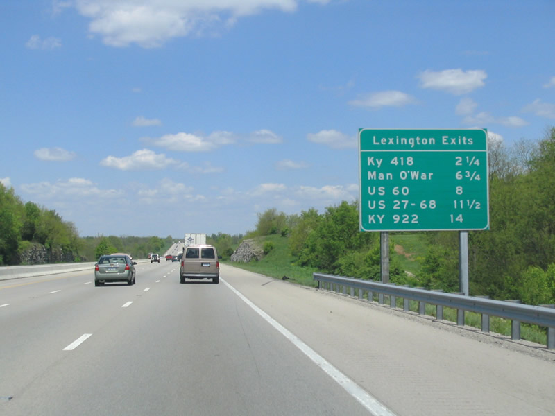
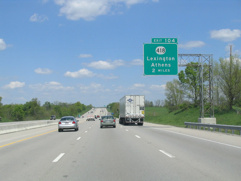
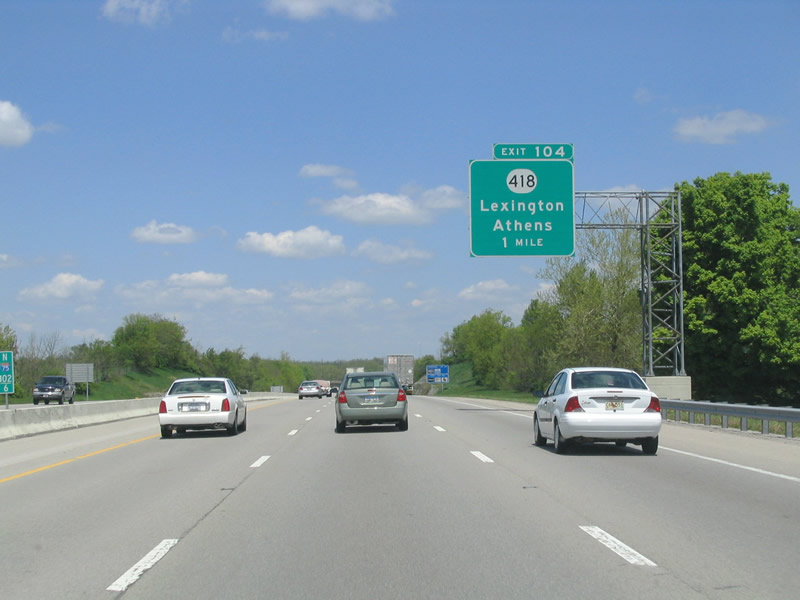
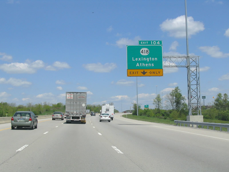
| KY 418 (Athens Boonesboro Road) travels northwest from KY 627 into southeast Lexington at Exit 104. Exit 104 serves 'Ashland' The Henry Clay Estate. 05/01/05 |
|
| KY 418 merges with U.S. 25 & 421 northbound at its end near Exit 104. U.S. 25 & 421 continue northwest along Richmond Road into downtown Lexington. 05/01/05 |
|
| The diamond interchange at Exit 104 remains outside of the Lexington suburbs. KY 418 widens to four lanes northwest of Interstate 75 and travels southeast along a rural route to Athens (KY 1973). 05/01/05 |
|
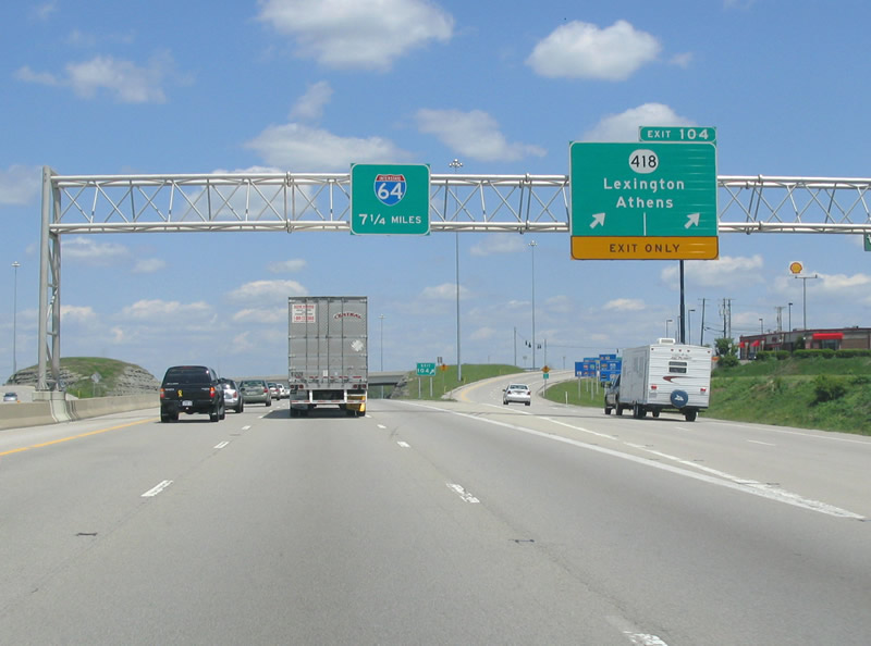
| The merge with Interstate 64 west is touted on the Exit 104 sign bridge for the first time. 05/01/05 |
|
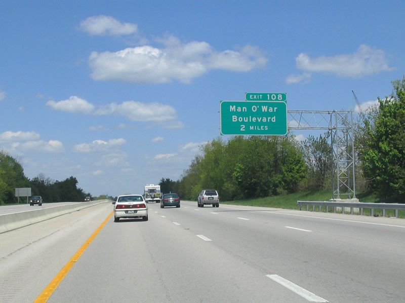
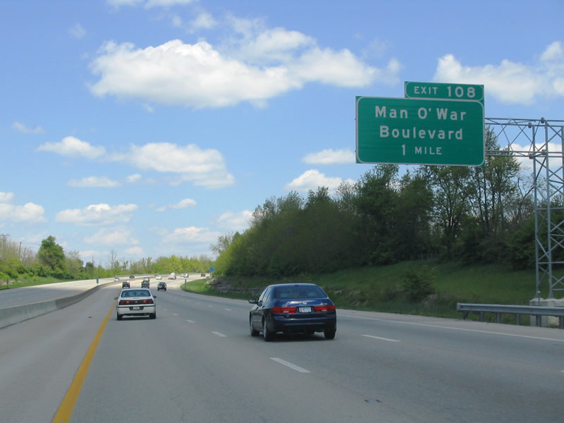
| Meeting Interstate 75 north is the Exit 108 parclo interchange with Man O' War Boulevard. Man O' War Blvd (named after a horse) forms a secondary outer loop of the city. 05/01/05 |
|
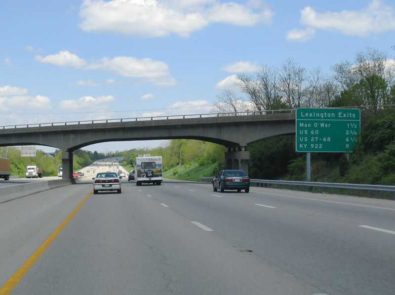
| KY 1927 (Todds Road) passes over Interstate 75 north at the next Lexington exits sign installment. 05/01/05 |
|
| Exit 108 serves a sprawling retail area north of Man O' War Boulevard and west of Interstate 75. Man O' War Boulevard remains a commercial arterial southwest to U.S. 27 & 421 (Richmond Road). 05/01/05 |
|
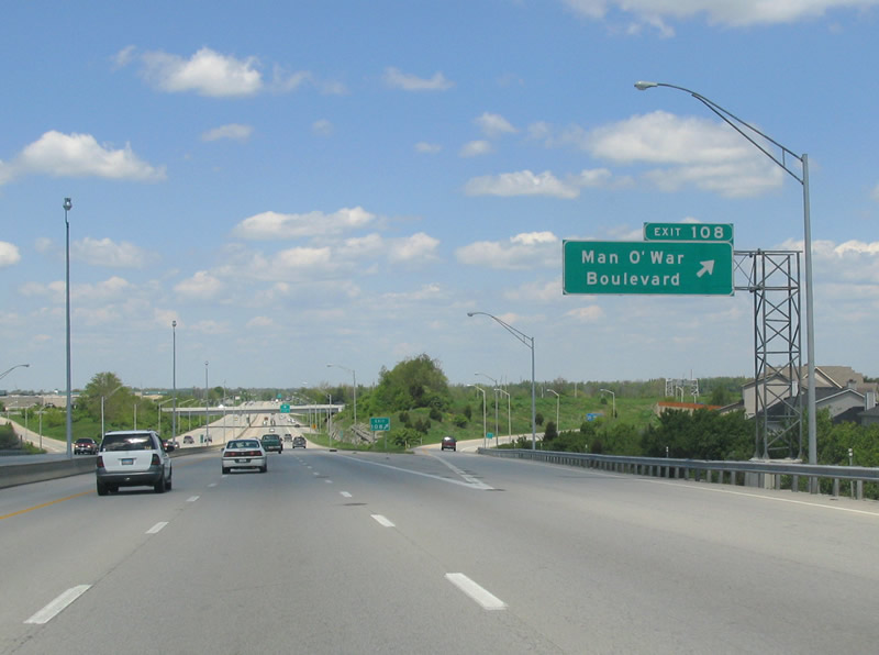
| Northbound Interstate 75 at the Exit 108 ramp departure to Man O' War Boulevard. The arterial serves the pervasive Andover Golf and Country Club community to the southwest and expanding sprawl to the east toward to U.S. 60 (Winchester Road). 05/01/05 |
|
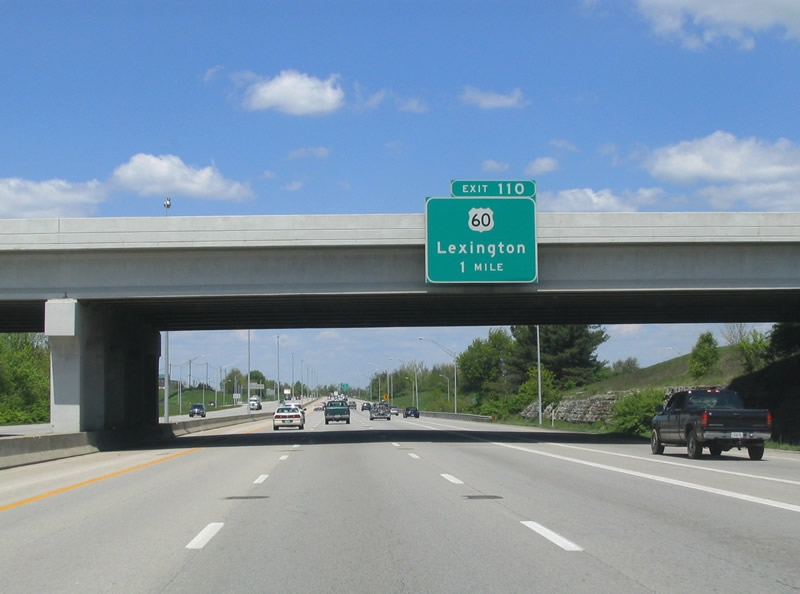
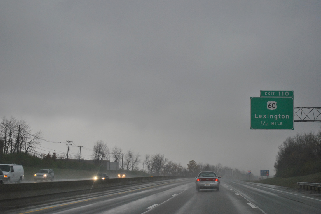
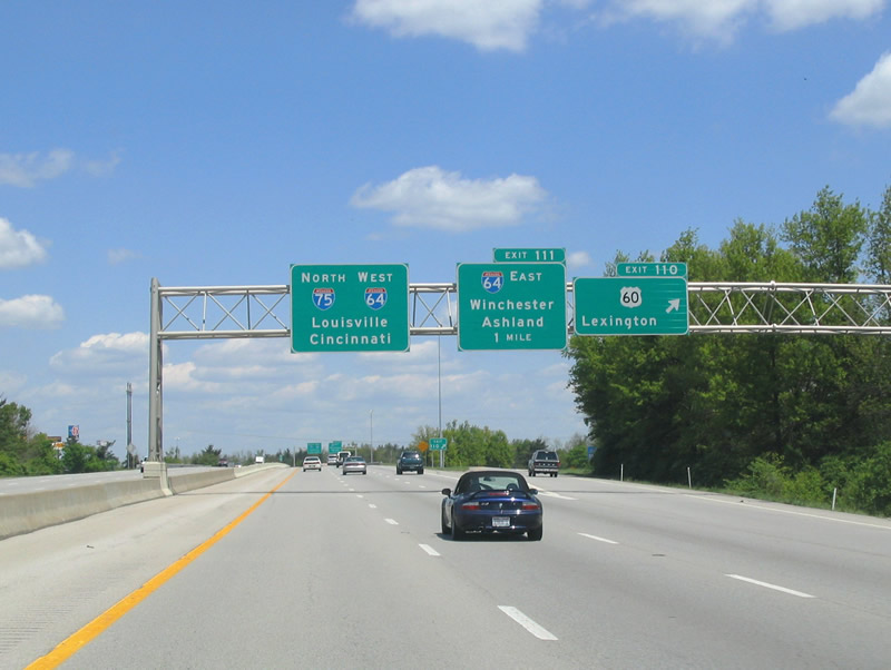
| One mile north of Man O' War Boulevard is the diamond interchange (Exit 110) with U.S. 60 (Winchester Road). 05/01/05 |
|
| U.S. 60 shadows Interstate 64 east from Lexington to Winchester and beyond. Westbound, Lexington Road carries U.S. 60 to a SPUI with KY 4 (New Circle Road) and downtown. 11/03/11, 05/01/05 |
|
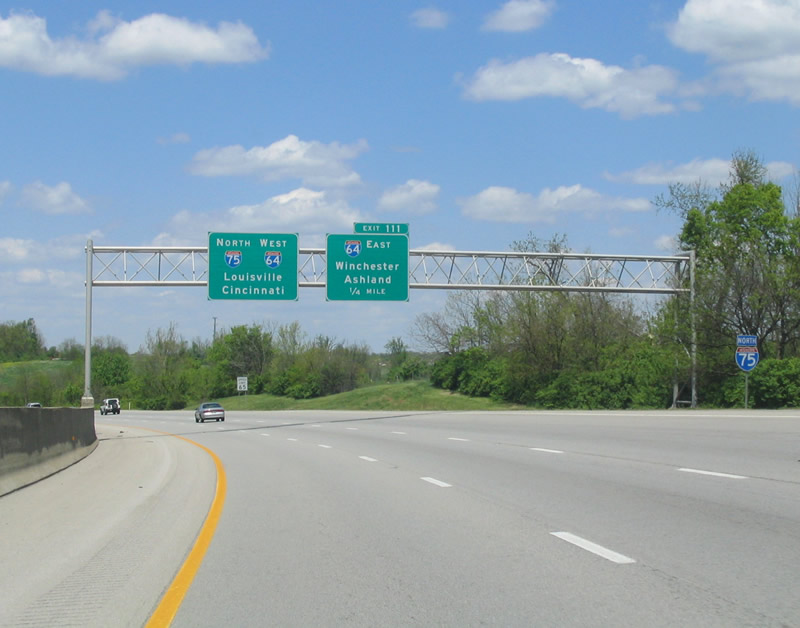
| Interstate 64 enters Lexington from Huntington, West Virginia, Ashland, and Winchester to the east. Interstate 75 north joins Interstate 64 west for a six mile overlap. 05/01/05 |
|
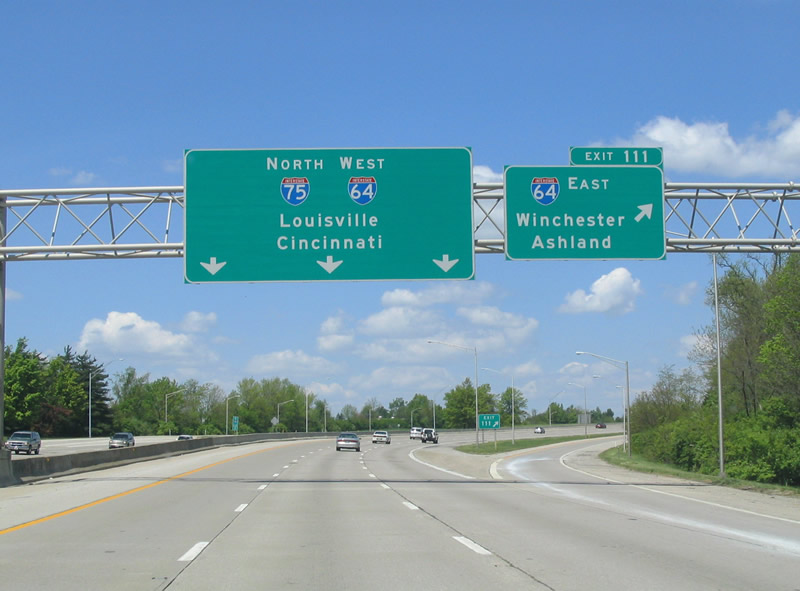
| I-75 north converges with I-64 west at a three-wye interchange (Exit 111). 05/01/05 |
|
| Exit 111 departs Interstate 75 north for Interstate 64 east. Interstate 64 exits Lexington for a rural 13 mile drive to Winchester. Interstate 64 reaches the Big Sandy River (WV state line) in 110 miles at Catlettsburg, south of Ashland. 05/01/05 |
Page Updated 10-19-2011.

 North
North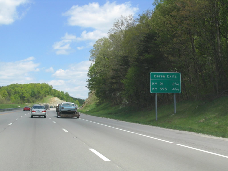

 North
North