|
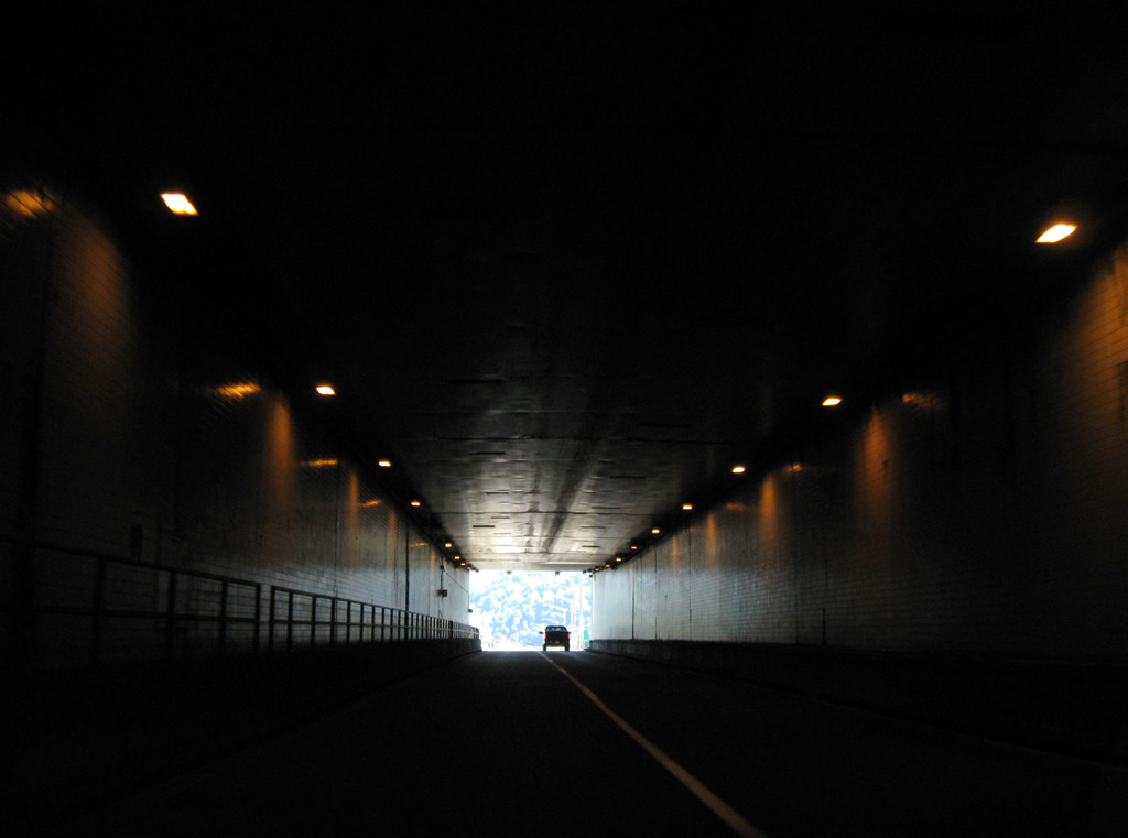
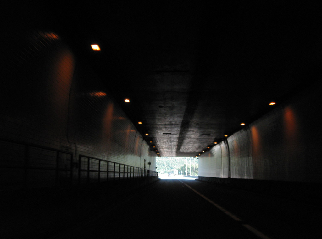
| Interstate 77 enters Virginia midway through the East River Mountain Tunnel near Bluefield. Consisting of two 5400 foot long tubes, the four lane tunnel opened to traffic in 1974. Work took five years to complete at a cost of $40 million.1 10/02/10 |
|
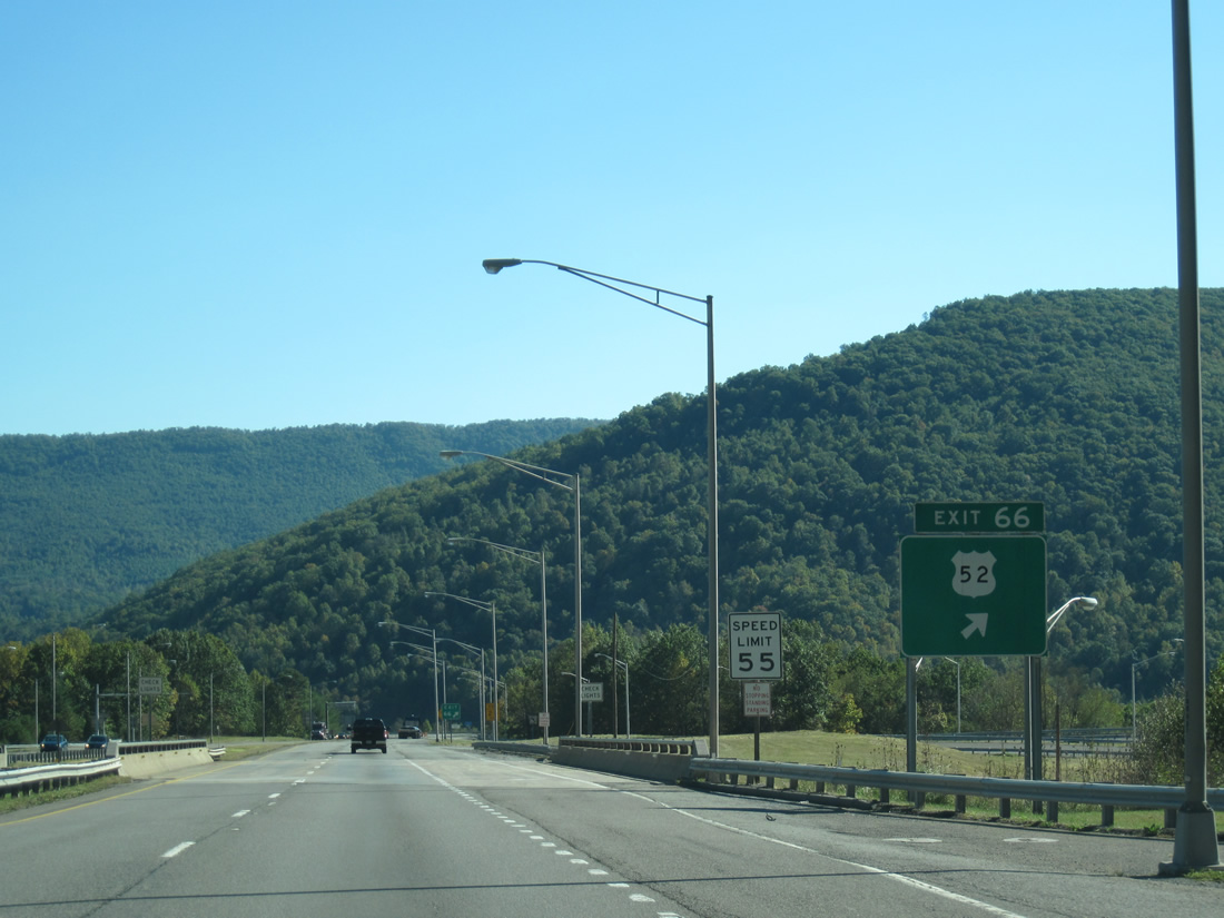
| U.S. 52 parts ways with I-77 beyond the East River Tunnel at Exit 66. A 4.10 mile long route, SR 598 (E River Mountain Road) meanders across East River Mountain west along the old alignment of U.S. 21/52 to Bluefield at the state line. 10/02/10 |
|
| U.S. 52 (N Scenic Highway) parallels I-77 and Laurel Creek to the east from North Gap south across Buckhorn Mountain to SR 61 (Wolf Creek Highway) at Rocky Gap. 10/02/10 |
|
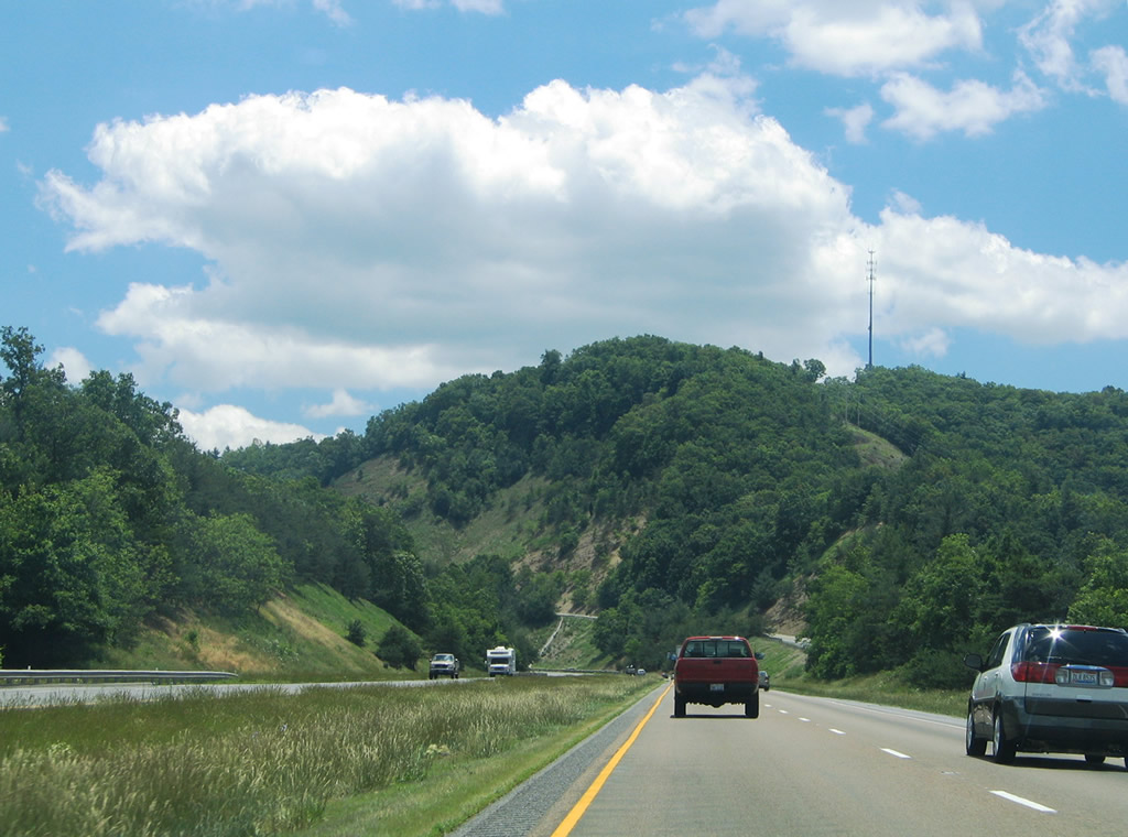
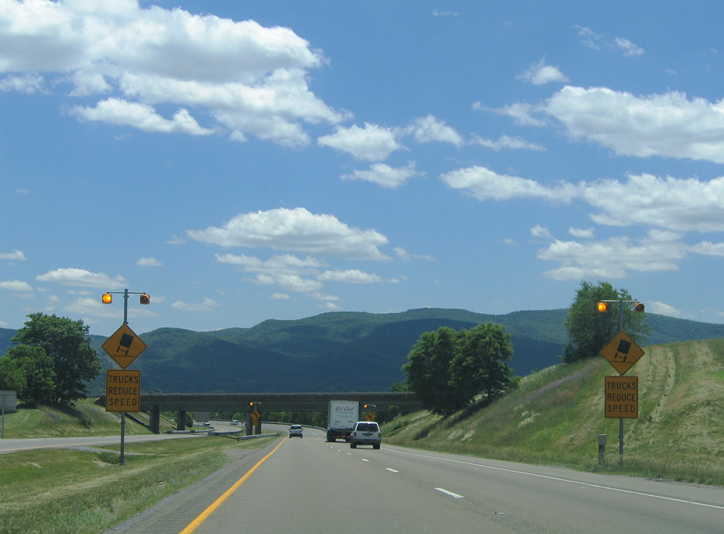
| Rocky Gap between Rich and Wolf Creek Mountains appears along the southern horizon, which I-77 and U.S. 52 pass through ahead of Brushy Mountain. 06/17/05 |
|
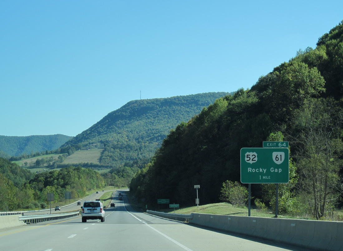
| I-77 spans SR 613 (Laurel Fork Road) and Laurel Creek one mile north of Exit 64 with U.S. 52/SR 61 (Clear Fork Creek Highway) at the unincorporated community of Rocky Gap. 10/02/10 |
|
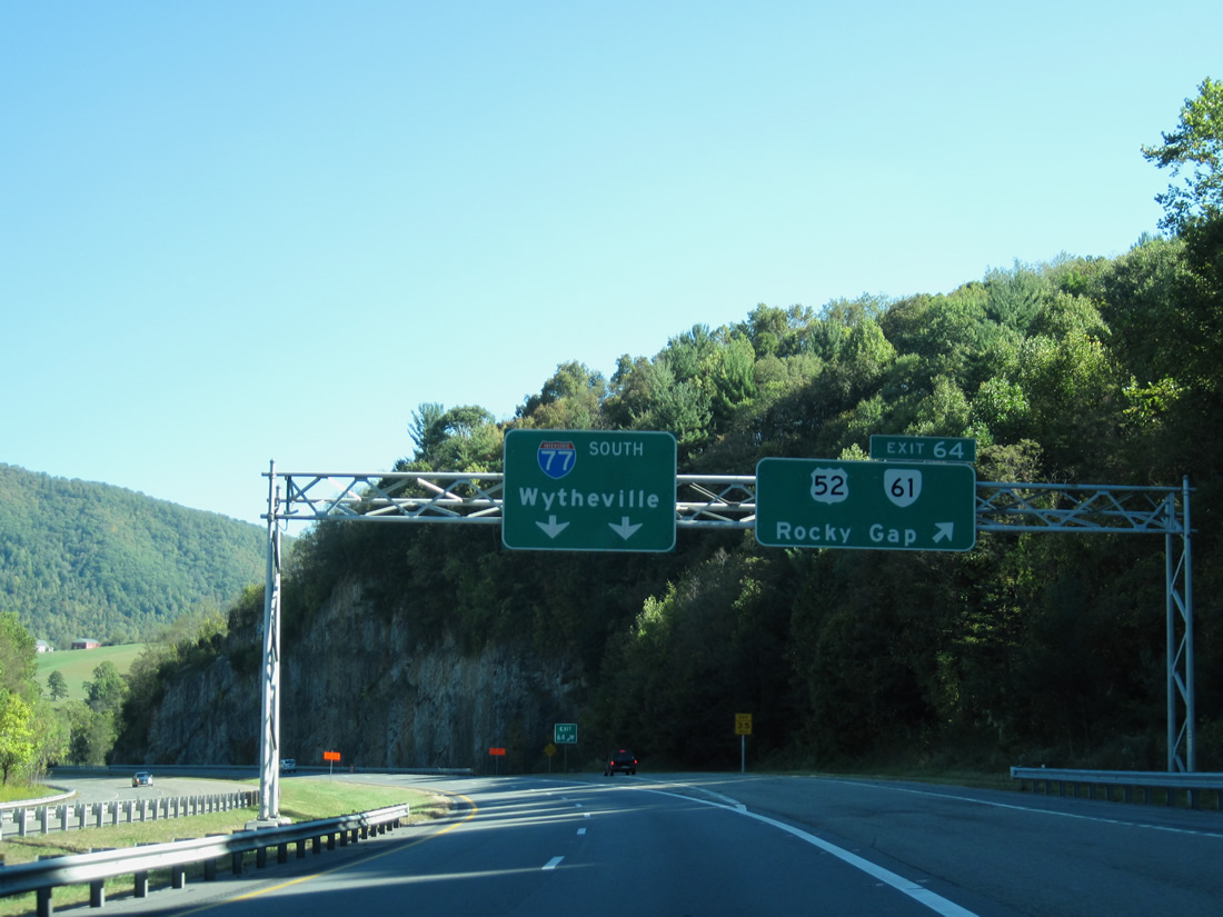
| Interstate 77 shifts southeast around Rocky Gap to Exit 64 for the 0.33 mile long overlap of U.S. 52/SR 61 (Clear Fork Creek Highway). SR 61 runs southwest along Buckhorn Mountain to Tazewell and northeast along Wolf Creek Mountain to Narrows. 10/02/10 |
|
| The diamond interchange joining I-77 with U.S. 52/SR 61 spans Clear Creek ahead of Rocky Gap between Rich and Wolf Creek Mountains. 06/17/05, 10/02/10 |
|
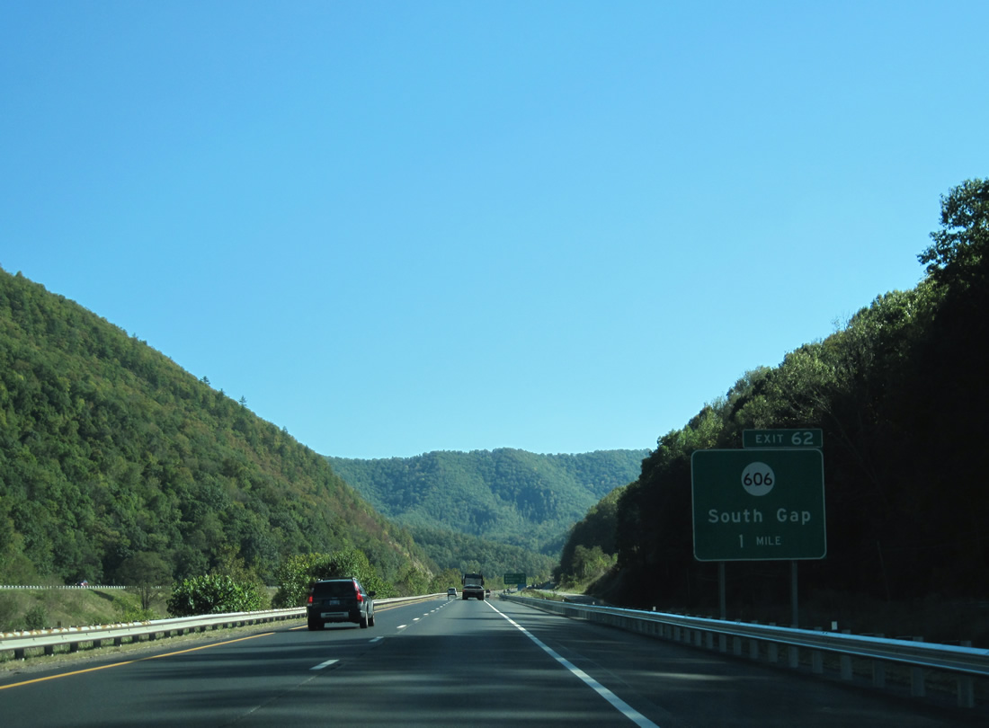
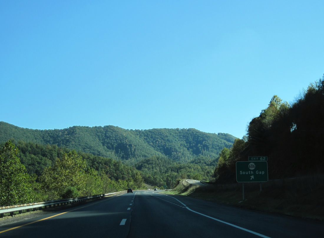
| SR 606 (Wilderness Road) ties into U.S. 52 (Scenic Highway) just west of Exit 62 and South Gap. 10/02/10 |
|
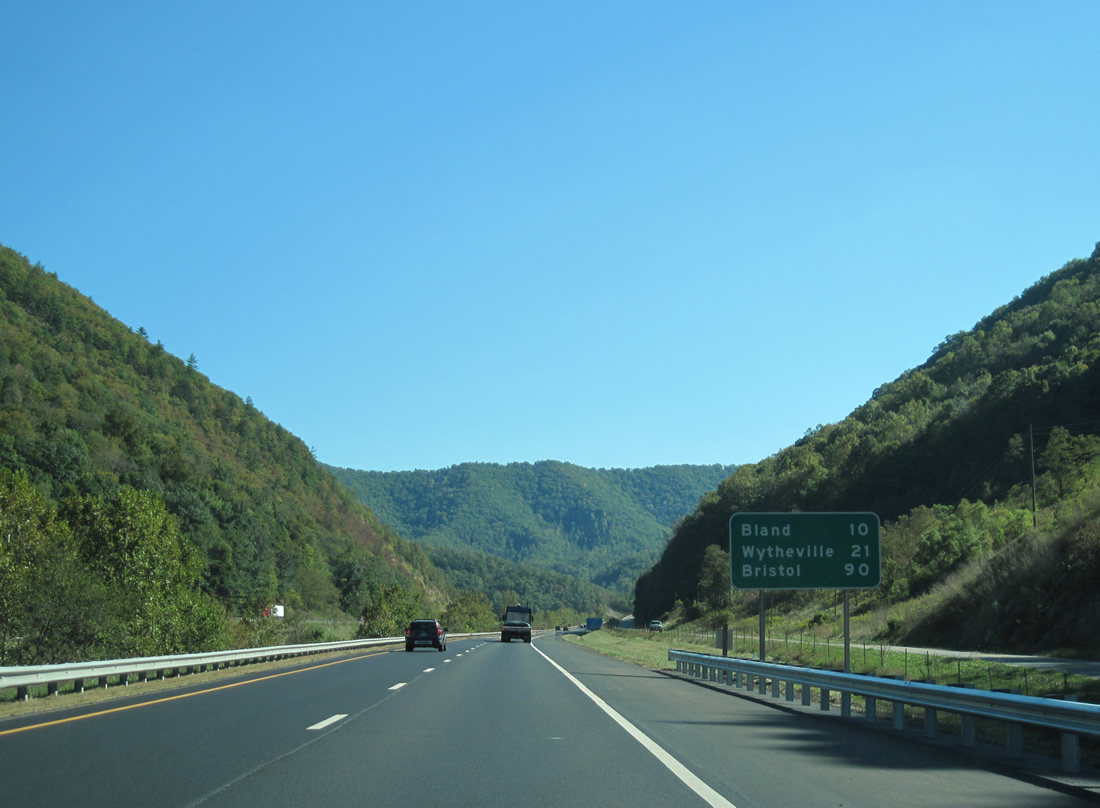
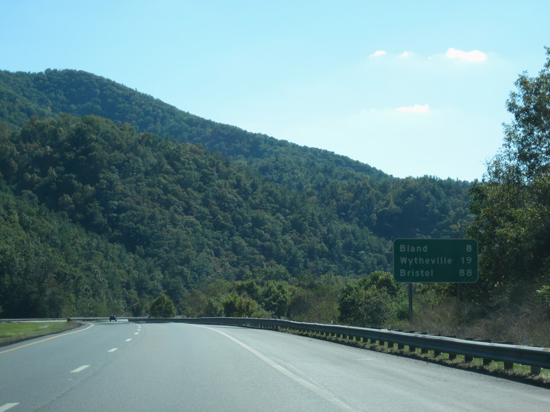
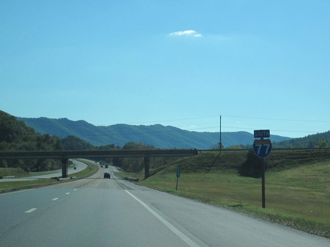
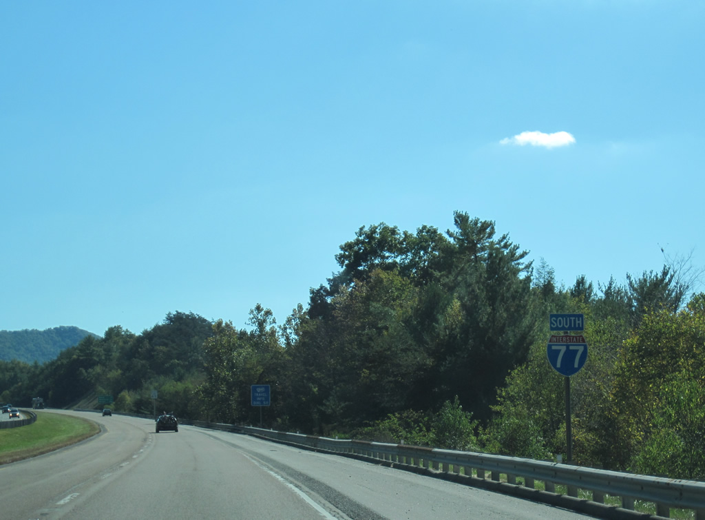
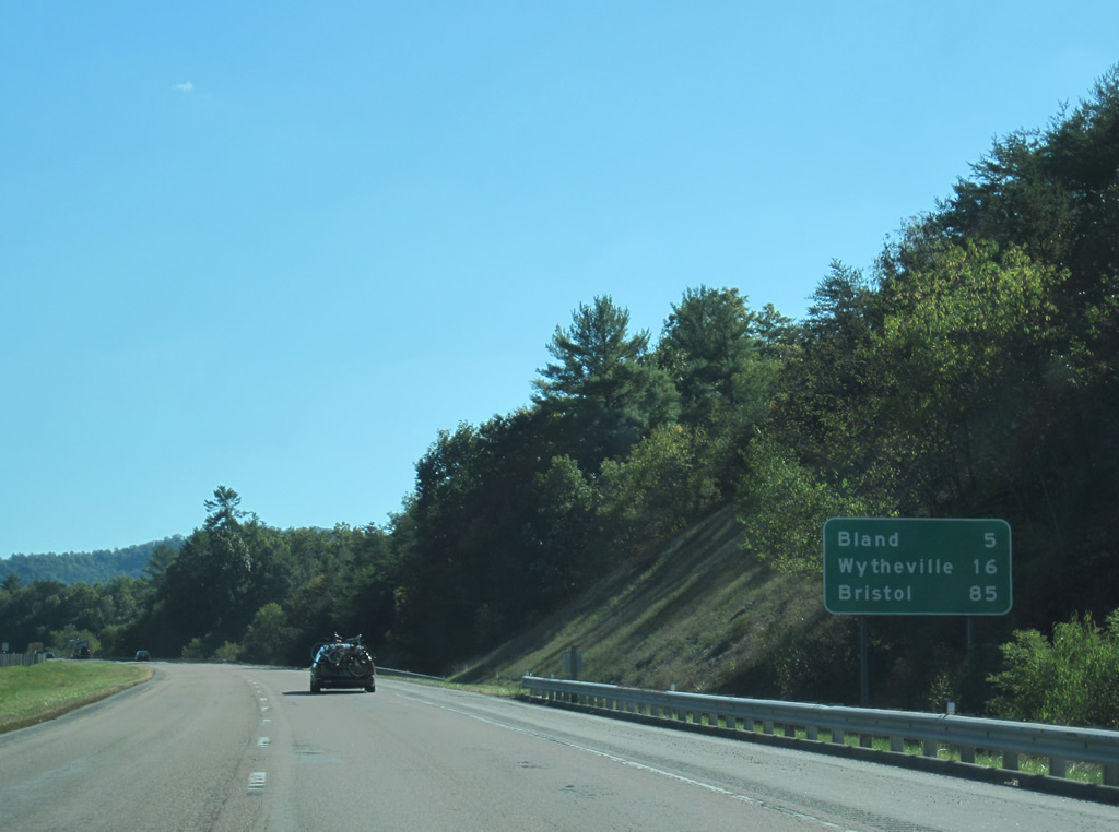
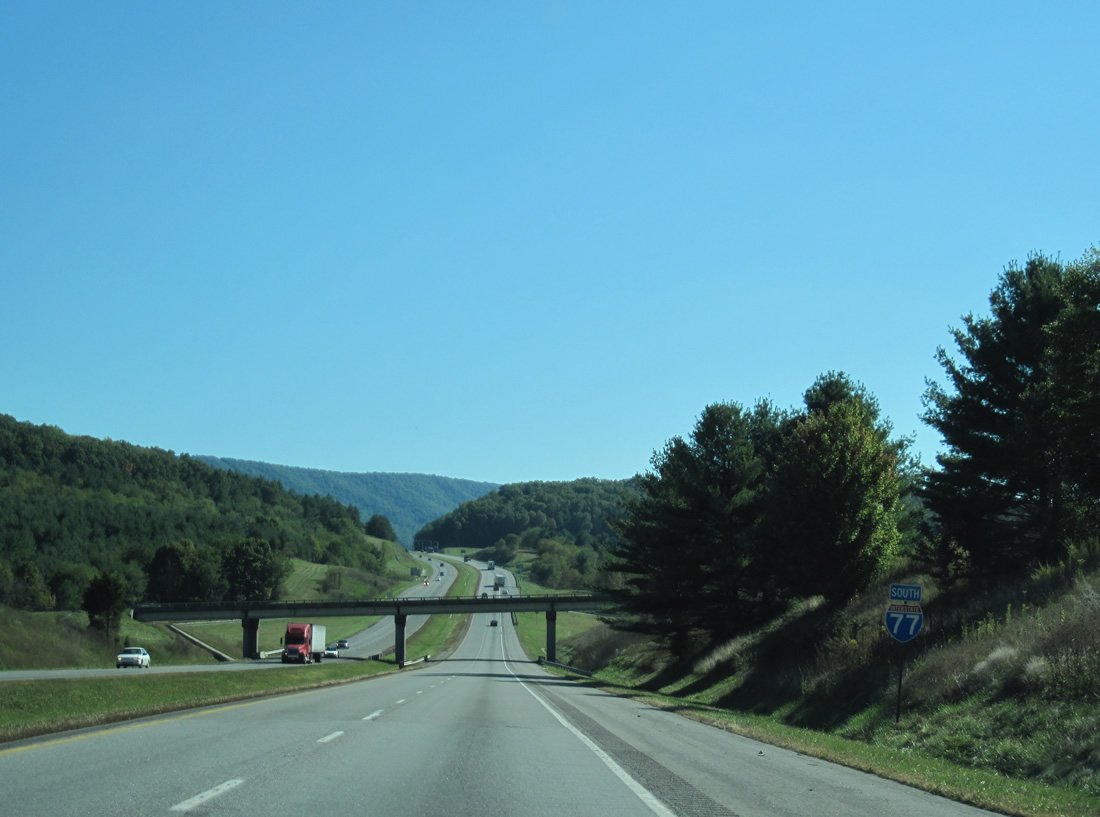
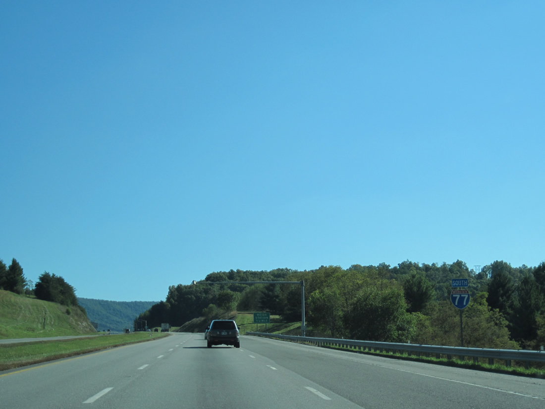
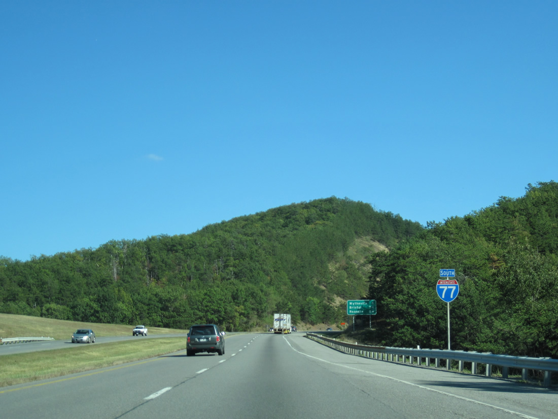
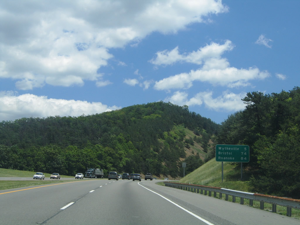
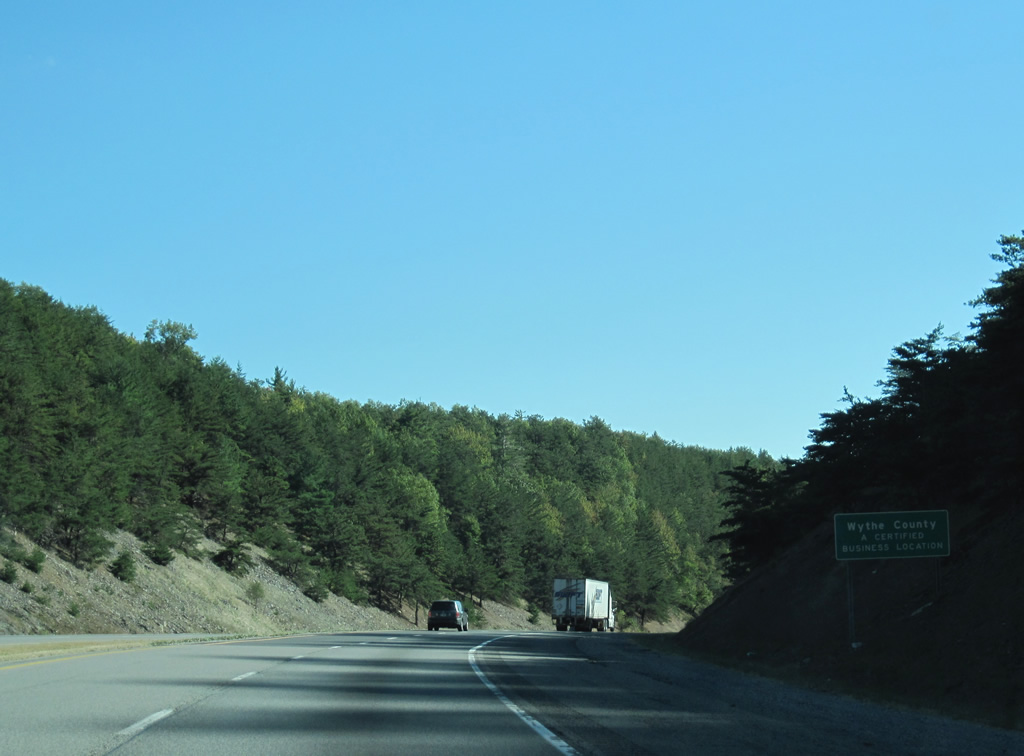
| The Bland County seat of Bland is ten miles away followed by Wytheville, where I-77 meets I-81, in 21 miles. Bristol lies 90 miles to the southwest along I-81 on the Tennessee line. 10/02/10 |
|
| Wolf Creek flows between the roadways of I-77 south into the diamond interchange (Exit 62) with SR 606 (Wilderness Road). SR 606 arcs southeast from South Gap to Pumpkin Center and Holly Brook along a 13.52 mile course to SR 42 (E Blue Grass Highway). 10/02/10 |
|
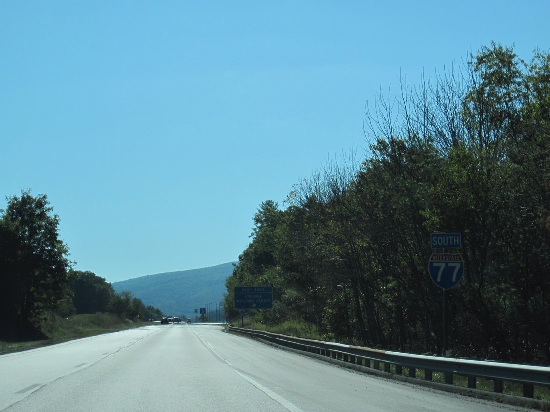
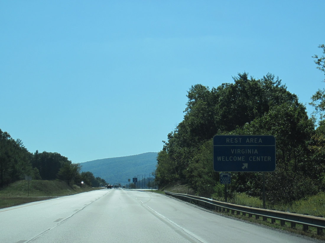
| The Rocky Gap Safety Rest Area / Virginia welcome center lies adjacent to Wolf Creek and agricultural areas. 10/02/10 |
|
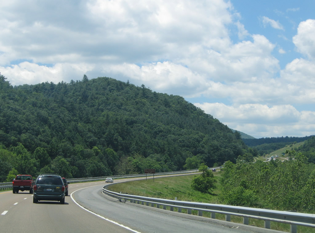
| Paralleling Wolf Creek, I-77 navigates through a series of S-curves to the community of Hicksville. 06/17/05 |
|
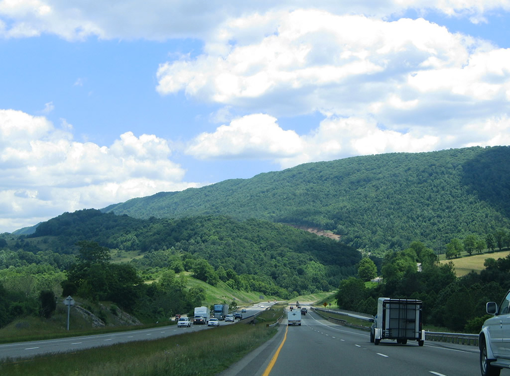
| Interstate 77 traverses Brushy Mountain along the eight mile stretch leading south to Bland. 10/02/10 |
|
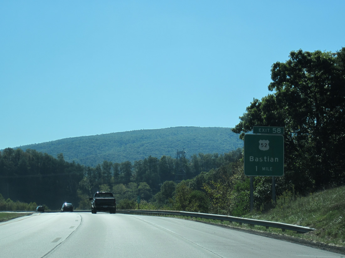
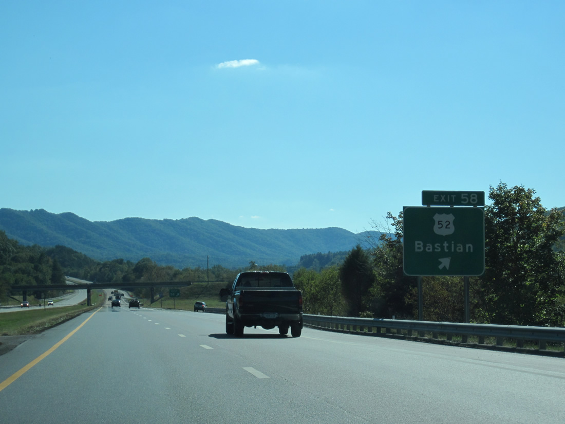
| Indian Village Trail (SR 666) connects with I-77 with U.S. 52 (N Scenic Highway), 0.33 miles to the west between Hicksville and Bastian. 10/02/10 |
|
| U.S. 52 runs along the eastern slope of Round Mountain from SR 666 and SR 614 (Grapefield Road) south into the unincorporated community of Bastion. SR 614 (Grapefield Road) ventures 13.92 miles west from U.S. 52 to Grapefield and across Rich Mountain at Crabtree Gap to SR 61 near Shawver Mill. 10/02/10 |
|
| The course of Wolf Creek was realigned during the original construction of I-77 at the diamond interchange (Exit 58) with SR 666 (Indian Village Trail). 10/02/10 |
|
| Passing east of Bastian, Interstate 77 gains over 600 feet in elevation southward across Brushy Mountain. 10/02/10 |
|
| Bland lies beyond Brushy Mountain at the crossroads of U.S. 52 (Scenic Highway) and SR 42 (Bluegrass Trail). Wytheville follows in 11 miles. 10/02/10 |
|
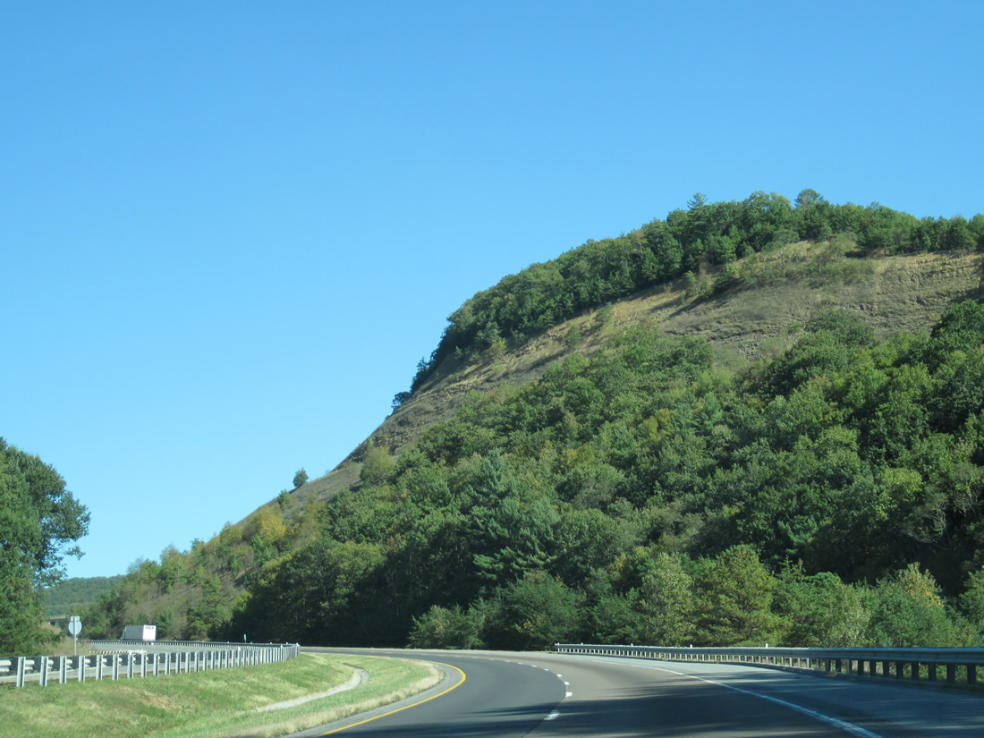
| U.S. 52 (Scenic Highway) comes into view along the west side of Interstate 77 on Brushy Mountain. 06/17/05 |
|
| Interstate 77 levels out around 2,816 feet above sea level ahead of the Kimberling Road overpass on Brushy Mountain. 10/02/10 |
|
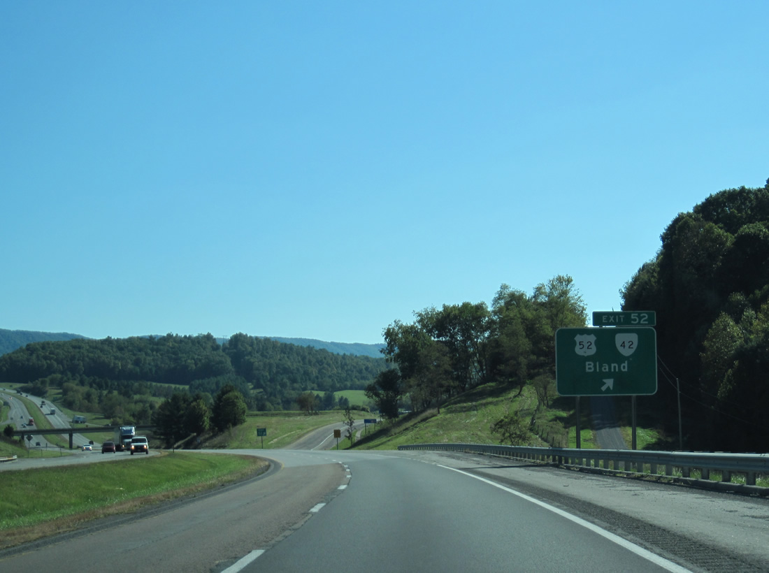
| U.S. 52 (Scenic Highway) passes under I-77 and enters Bland along Main Street. SR 42 (Blue Grass Trail) overlaps with U.S 52 along Scenic Highway 0.81 miles west to the diamond interchange at Exit 52. 06/17/05 |
|
| U.S. 52/SR 42 (Scenic Highway) continue 3.97 miles to split on respective paths to Wytheville and Broadford. Measuring 271.63 miles, there are three legs of SR 42 statewide. SR 42 through Bland is part of the southern leg between SR 91 and SR 100 at Poplar Hill. 10/02/10 |
|
| U.S. 21-52/SR 42 were realigned northward through the exchange at Exit 52 during construction of I-77. SR 659 (G.B. Kegley Drive) to the west and SR 1010 (Short Run Drive) to the east remain along the original alignment. 10/02/10 |
|
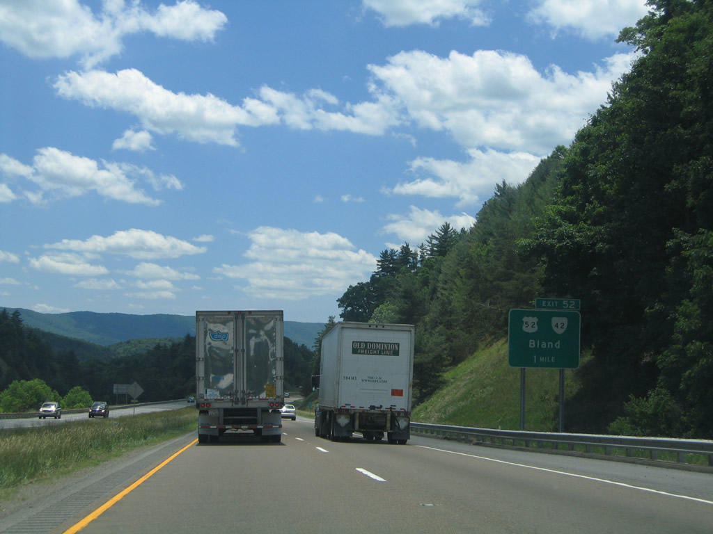
| Weigh stations for commercial trucks operate on both sides of Interstate 77 between Bland and Walker Creek. 10/02/10, 06/17/05 |
|
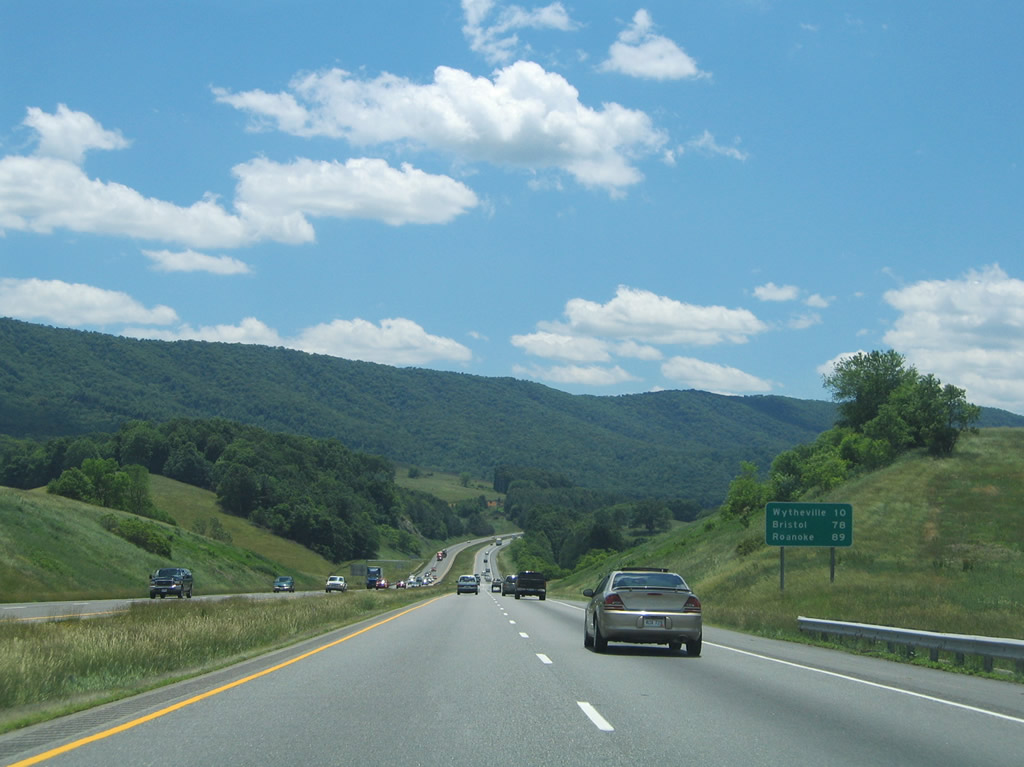
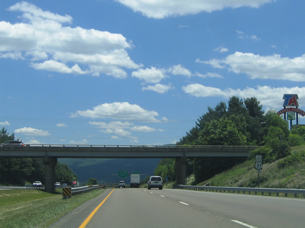
| I-77 continues ten miles south to Wytheville. Roanoke is 89 miles to the northeast along Interstate 81. 06/17/05 |
|
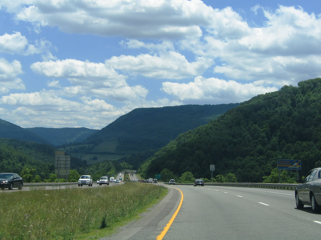
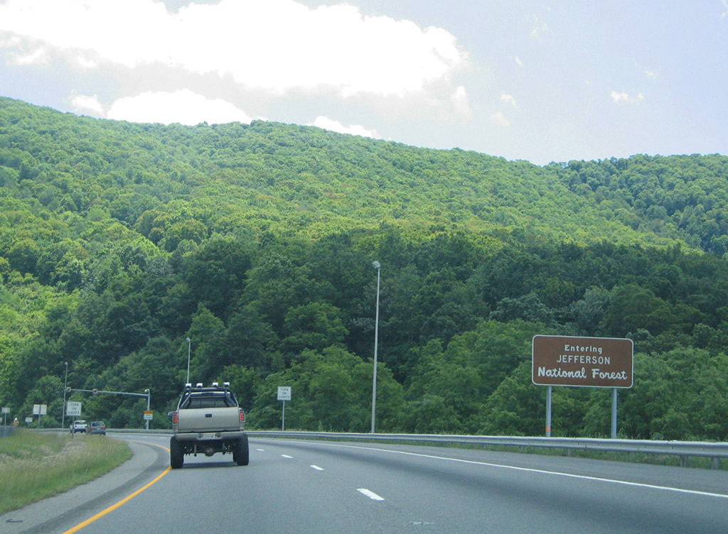
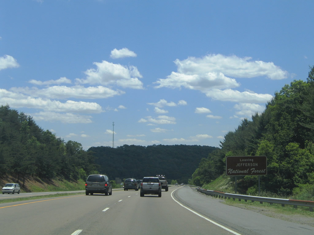
| Interstate 77 reenters Jefferson National Forest on the climb across Big Walker Mountain. 06/17/05 |
|
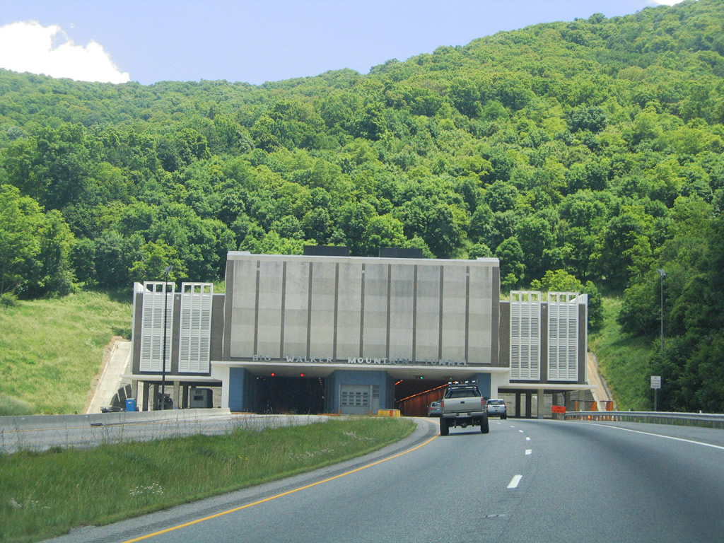
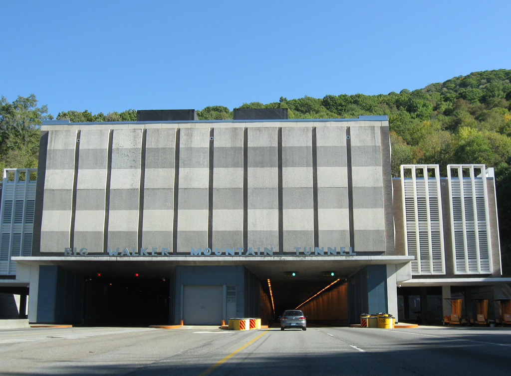
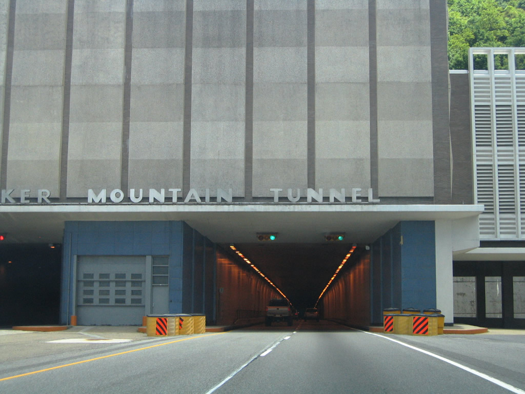
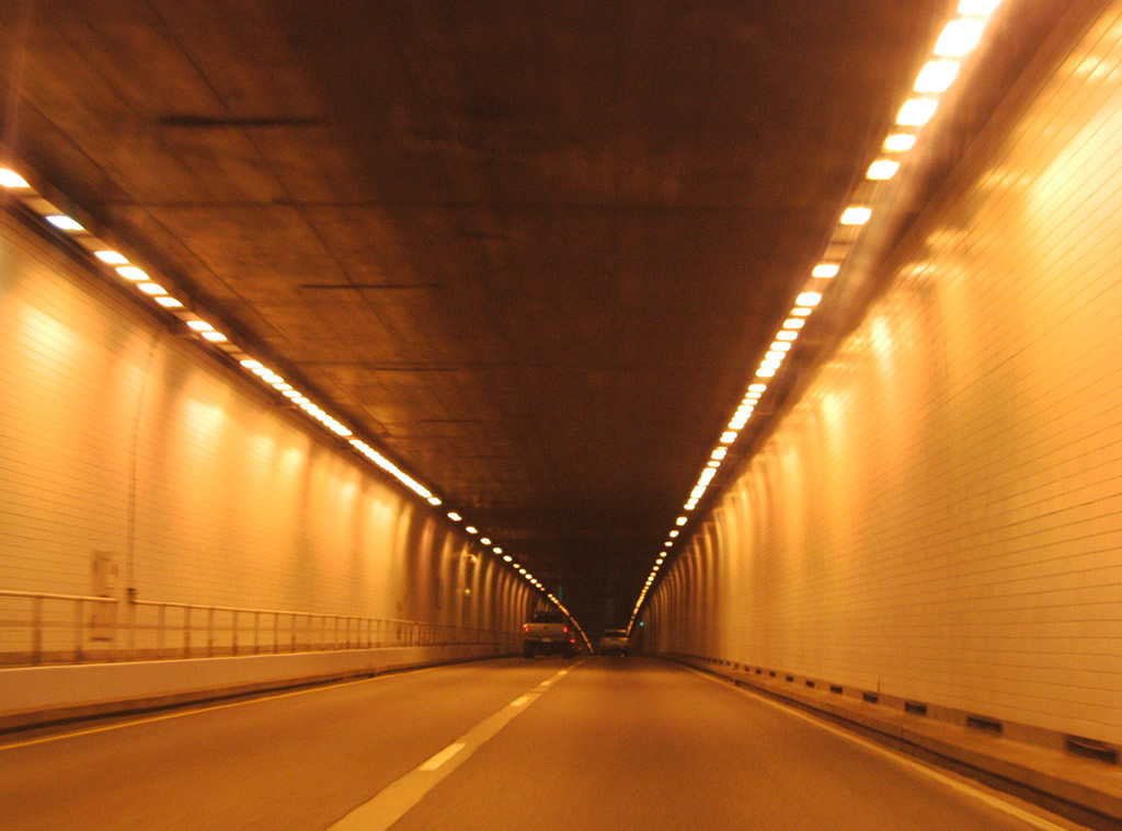
| Interstate 77 passes through Big Walker Mountain Tunnel between Big Bend and Turkey Gap along the Big Walker Mountain ridge. 06/17/05 |
|
| Consisting of twin 4,200 foot long tubes,1 Big Walker Mountain Tunnel takes I-77 southeast across the Bland and Wythe County line. 10/02/10 |
|
| Big Walker Mountain Tunnel traverses Big Walker Mountain at an elevation between 2,900 and 3,000 feet above sea level.1 06/17/05 |
|
| Costing $50 million to build, Big Walker Mountain Tunnel opened in 1972 after five years of construction.1 06/17/05 |
|
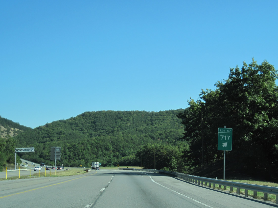
| A folded diamond interchange (Exit 47) with SR 717 (Little Creek Highway) lies just beyond Big Walker Mountain Tunnel. 10/02/10 |
|
| Running between Big Walker and Little Walker Mountains, SR 717 follows Krenning Road west 4.33 miles from the Wythe County line to U.S. 52 (Stoney Fork Road). Continuing east, SR 717 lines Little Creek Highway 2.18 miles to Carnot and SR 601. 10/02/10 |
|
| Interstate 77 angles southeast from Exit 47 into a corner of Bland County. 06/17/05 |
|
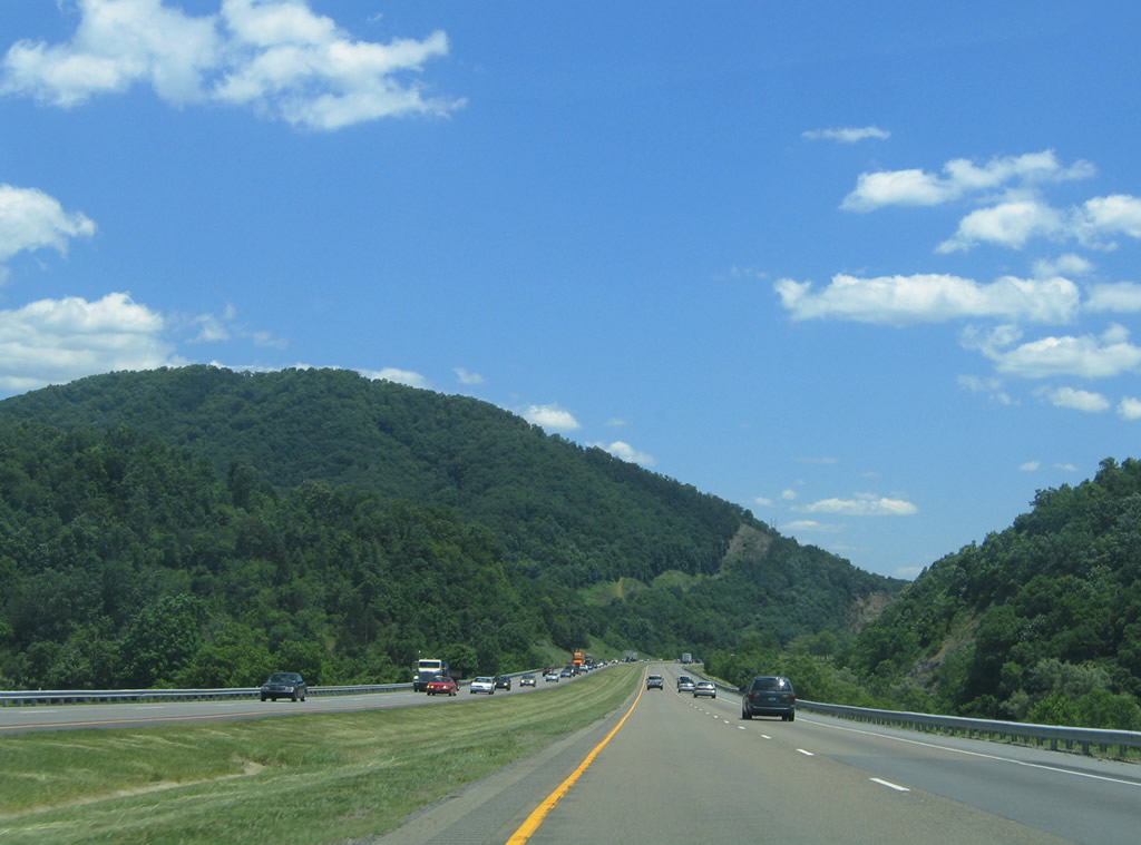
| Interstate 77 traverses Little Walker Mountain five miles north of Wytheville. 10/02/10, 06/17/05 |
|
| Southbound Interstate 77 enters Wythe County and leaves Jefferson National Forest midway across Little Walker Mountain. 10/02/10, 06/17/05 |
|
| Continuing south along Interstate 77 between Queens Knob and Cove Mountain. 06/17/05 |
|
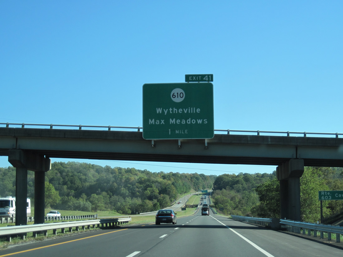
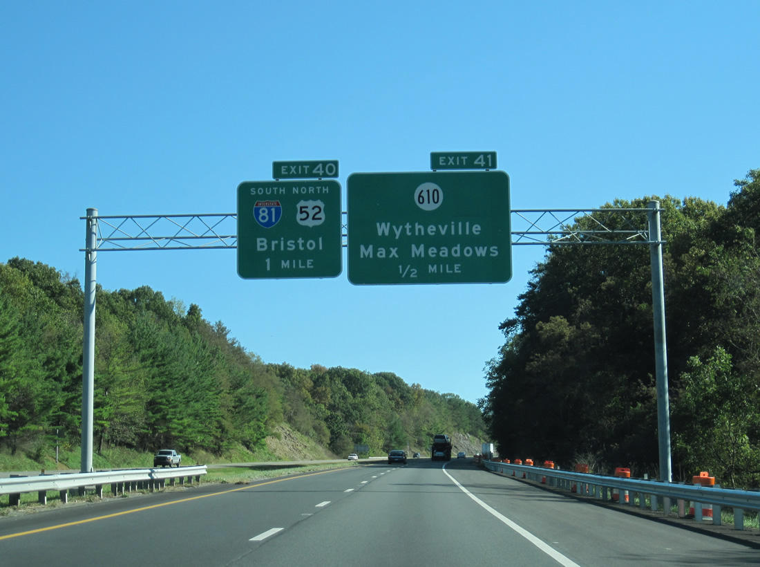
| A folded diamond interchange (Exit 41) joins I-77 with SR 610 (Peppers Ferry Road) one mile south of SR 603 (Cove Road) and Cove Creek. 10/02/10 |
|
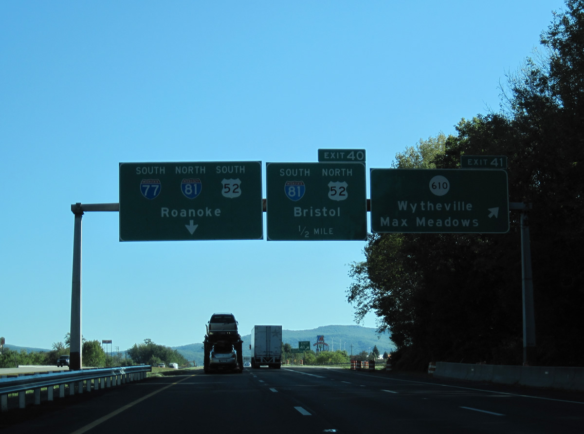
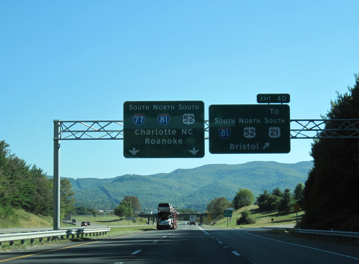
| I-77 converges with I-81/U.S. 52 at Exit 40 just beyond SR 610 (Peppers Ferry Road). I-77-81/U.S. 52 combine east to SR 121 at Fort Chiswell, south of Max Meadows, while SR 610 continues 6.49 miles east from Wytheville to Max Meadows via Stringtown. 10/02/10 |
|
| Peppers Ferry Road angles southwest from Exit 41 to 11th and Monroe Streets in the Wytheville street grid. I-81 bypasses Wytheville to the north en route to Rural Retreat and with I-77/U.S. 11-52 to the east. 10/02/10 |
|
| U.S. 21 commences along N 4th Street from U.S. 52 at the succeeding exit along I-81 southbound. Prior to 1979, U.S. 21 overlapped with U.S. 52 north to Bluefield, West Virginia. 06/17/05 |
|
| Exit 40 departs I-77 south for Interstate 81 south to Marion, Abingdon and Bristol, U.S. 52 north to Crowgeys and U.S. 21 south to Downtown Wytheville. 10/02/10 |
|
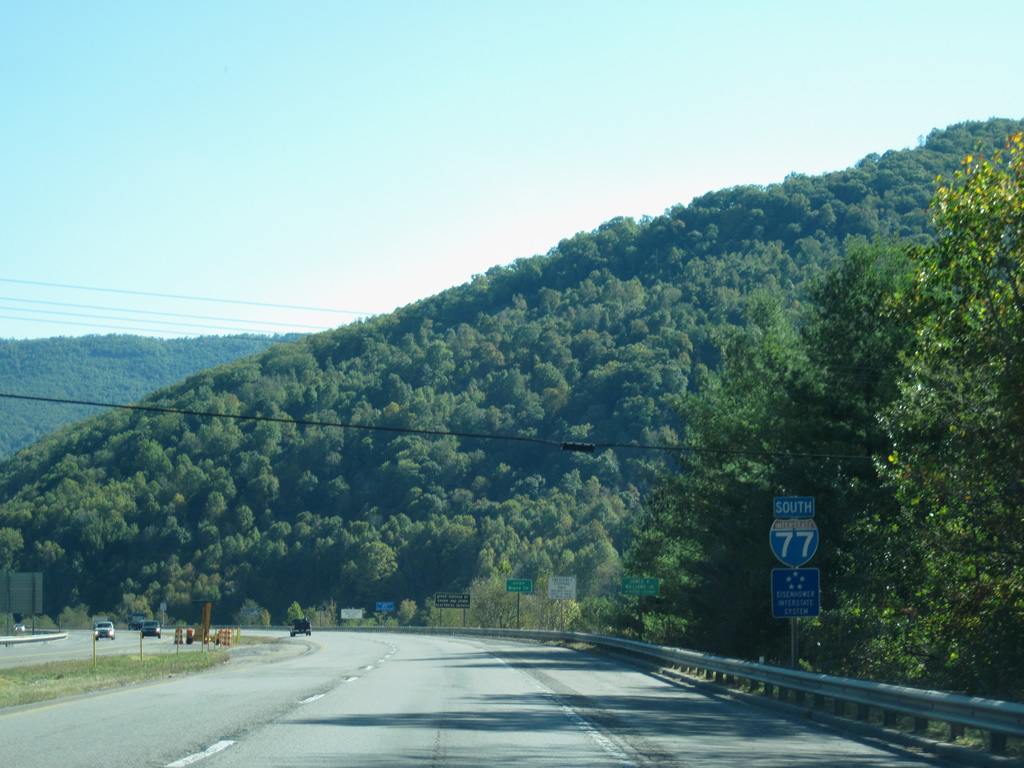
| Interstate 77 continues south through the trumpet interchange onto I-81 north and U.S. 52 south. 06/17/05 |
Page Updated 05-01-2021.


 South
South