|
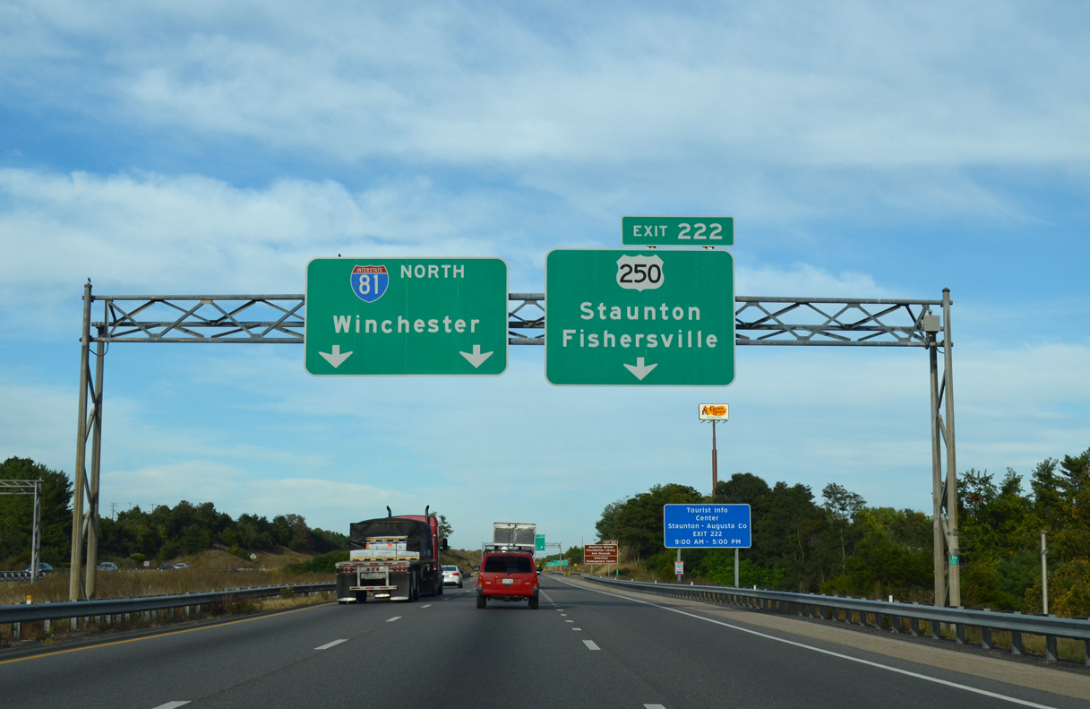
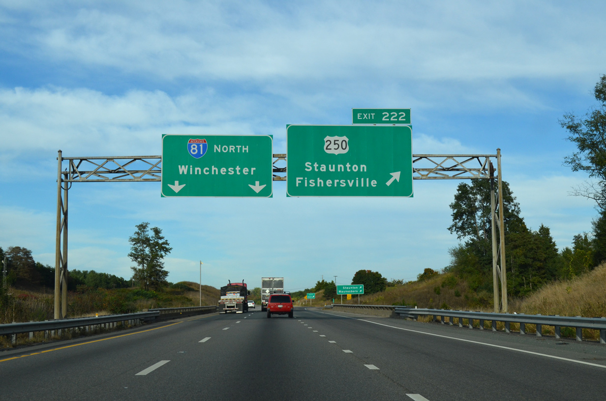
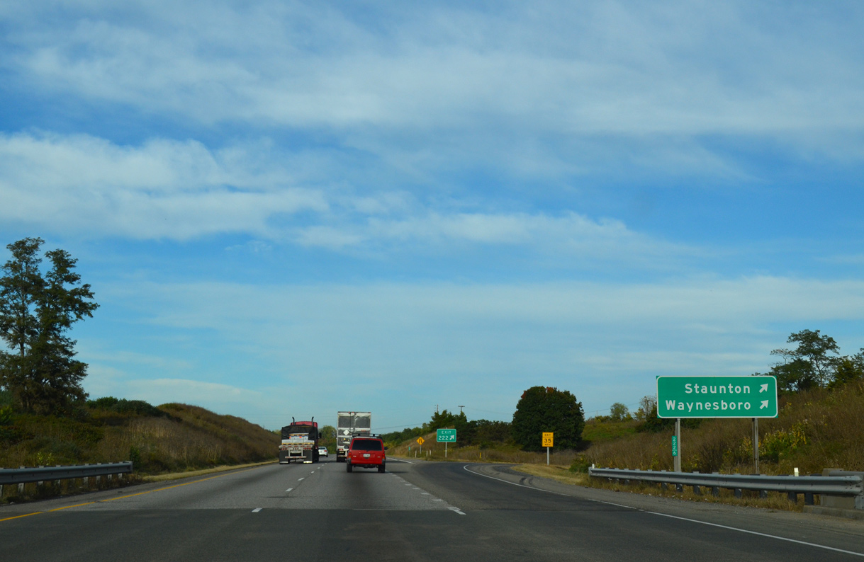
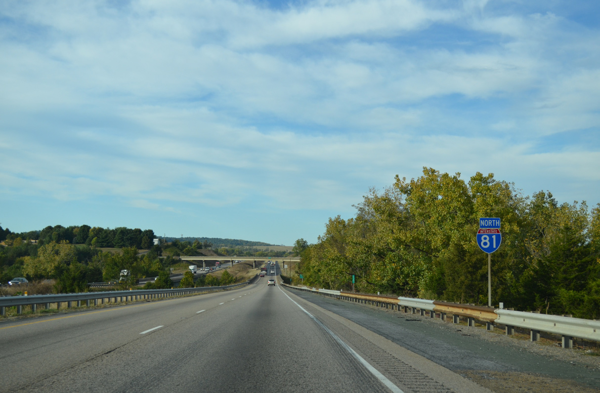
| Interstate 81 enters a parclo interchange (Exit 222) with U.S. 250 (Jefferson Highway) to the immediate north of I-64 at Peyton. 09/23/14 |
|
| U.S. 250 parallels I-64 east from I-81 along the Staunton city line four miles to Fishersville and eight miles into Waynesboro. U.S. 250 (Richmond Avenue) arcs 2.22 miles along a commercial arterial to combine with U.S. 11 (Greenville Avenue) north into Downtown Staunton. 09/23/14 |
|
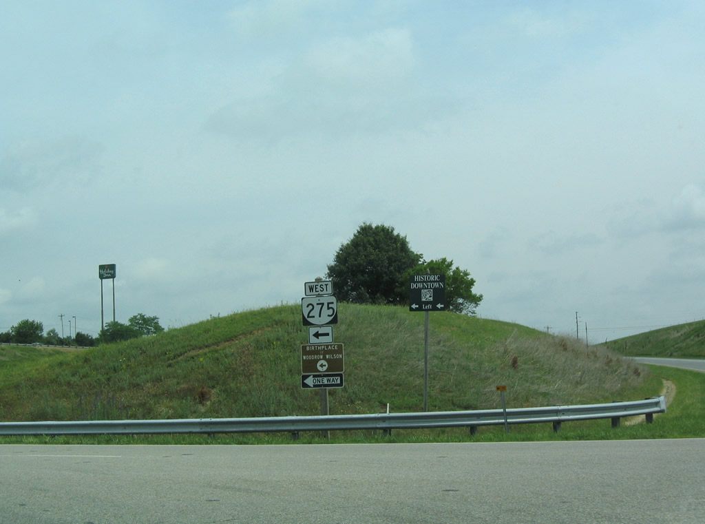
| Points of interest for Exit 222 include the Museum of American Frontier Culture, the Woodrow Wilson Presidential Library and Mary Baldwin University. 09/23/14 |
|
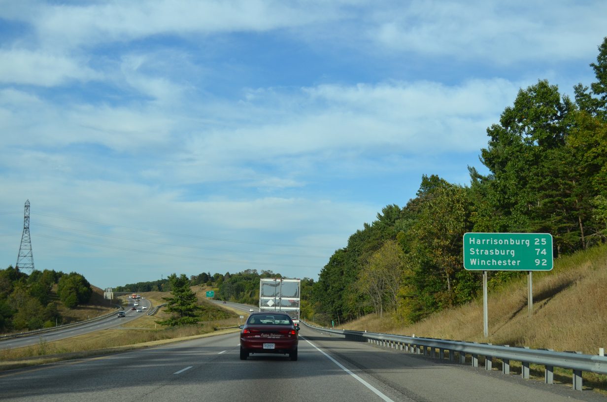
| I-81 straddles the Staunton city and Augusta County line another 2.6 miles northeast to SR 262 (Woodrow Wilson Parkway). 09/23/14 |
|
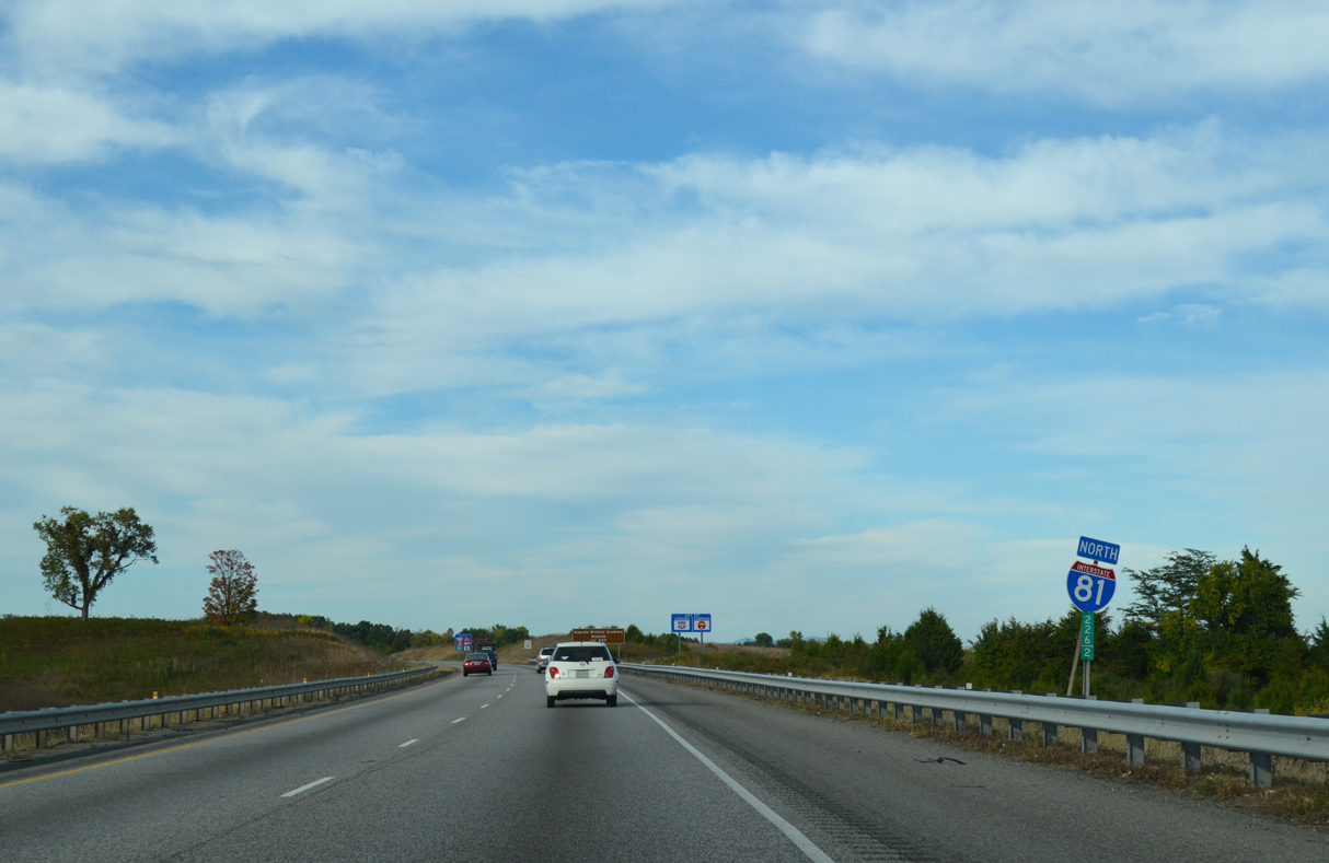
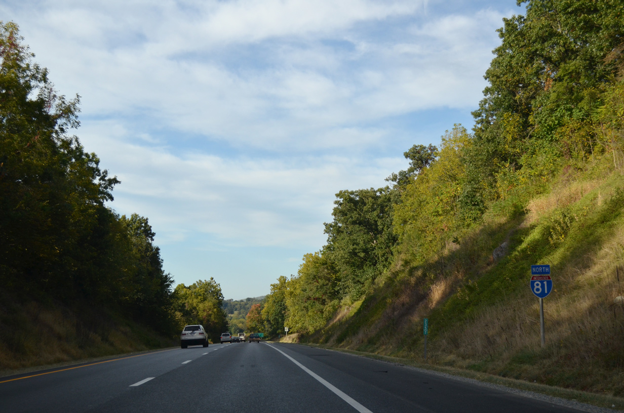
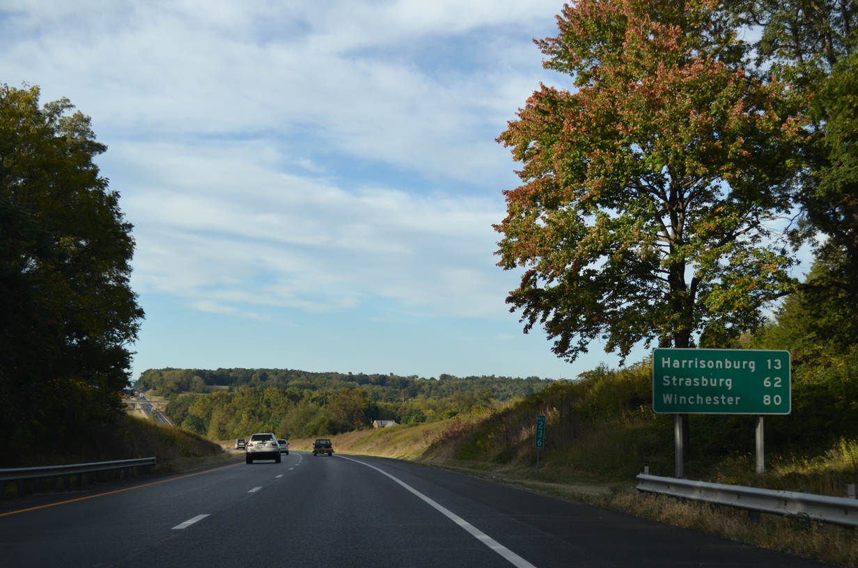
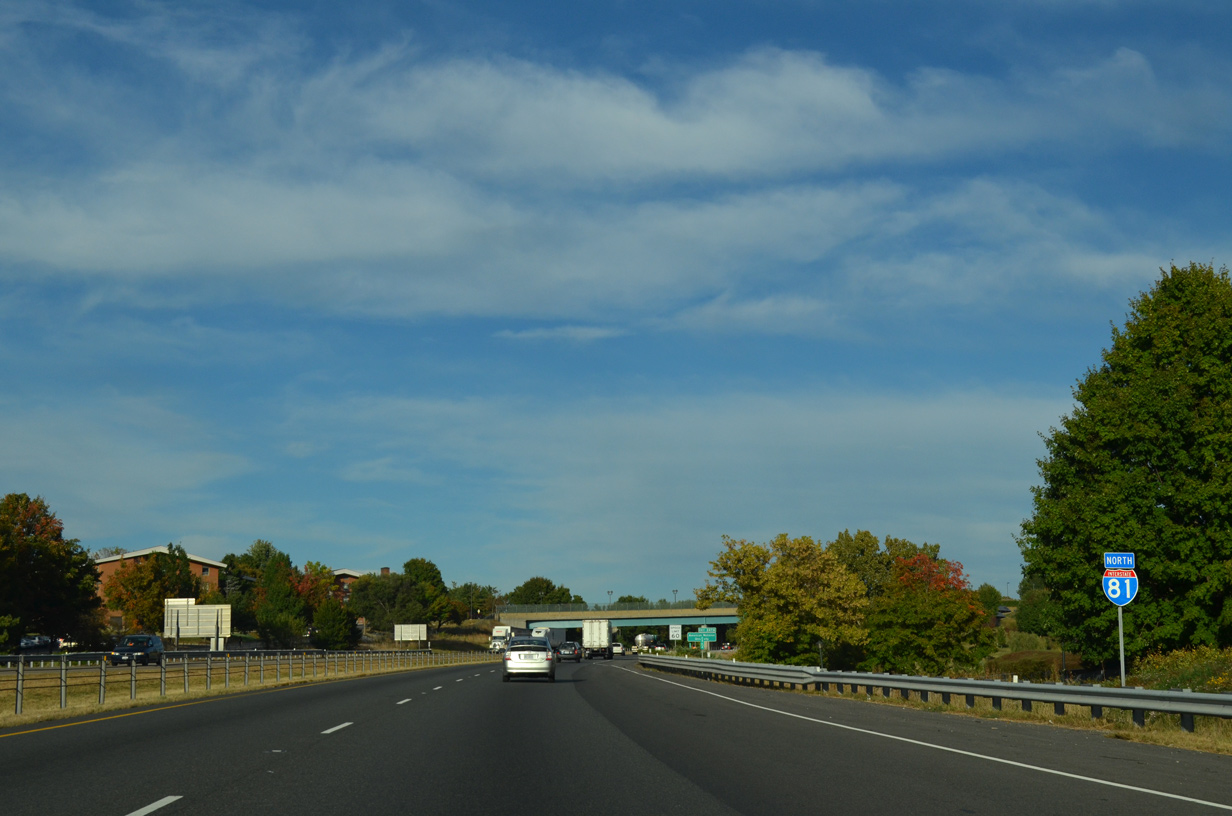
| North from Staunton, I-81 continues 25 miles to Harrisonburg and 74 miles to Strasburg. 09/23/14 |
|
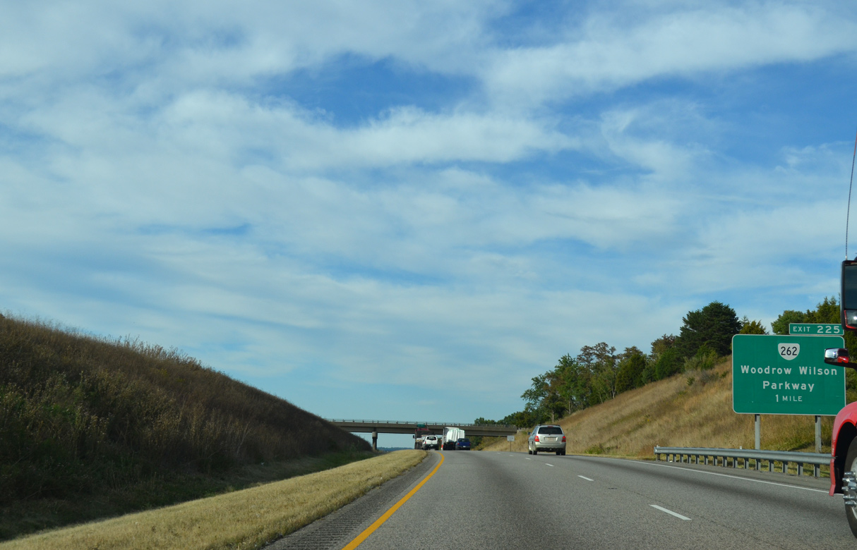
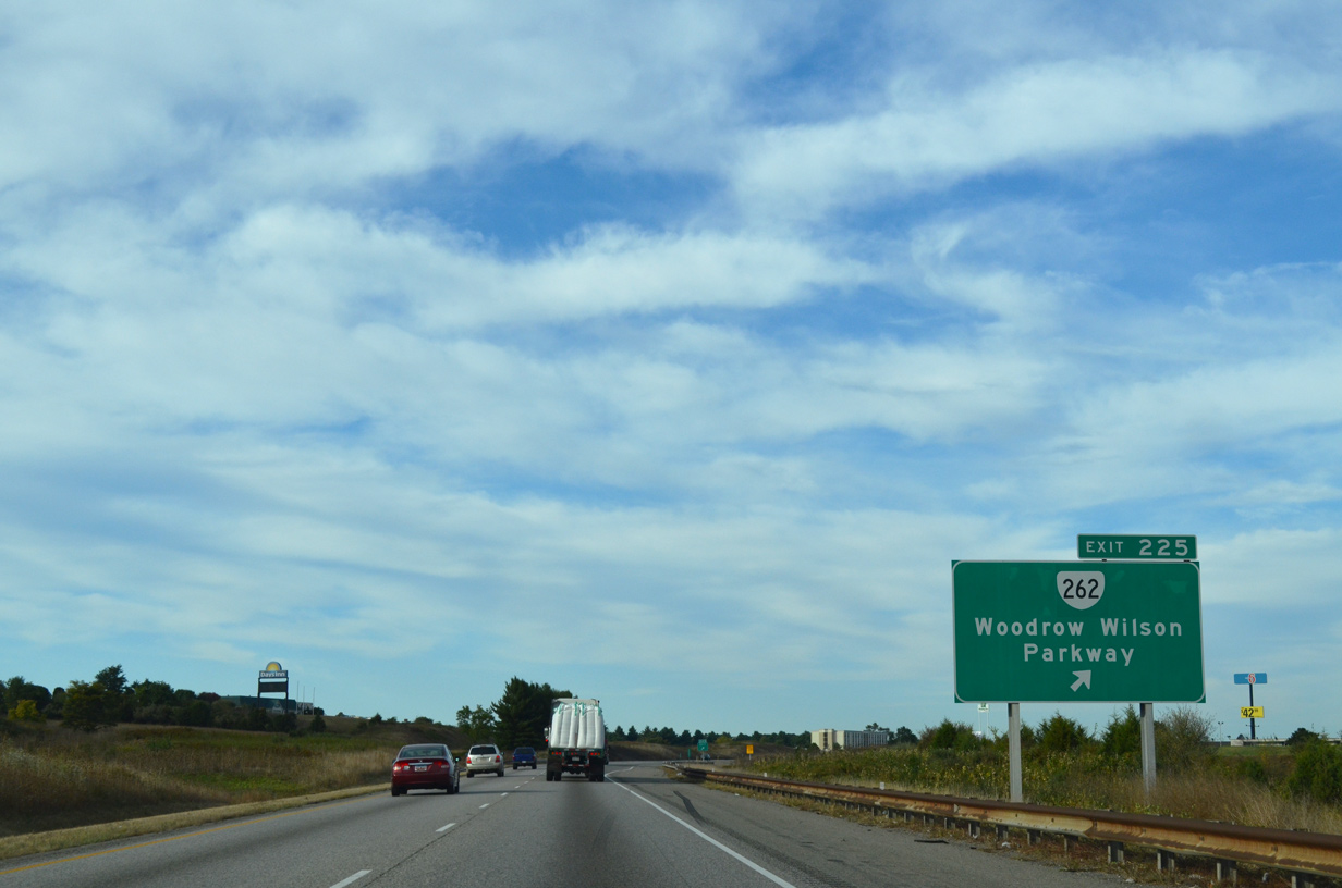
| One mile south of the diamond interchange (Exit 225) with SR 262 at the SR 254 (New Hope Road) overpass. 09/23/14 |
|
| SR 262 (Woodrow Wilson Parkway) comprises an at-grade two lane expressway 5.3 miles west from I-81 to U.S. 250, which joins Staunton with the Highland County seat of Monterey. 09/23/14 |
|
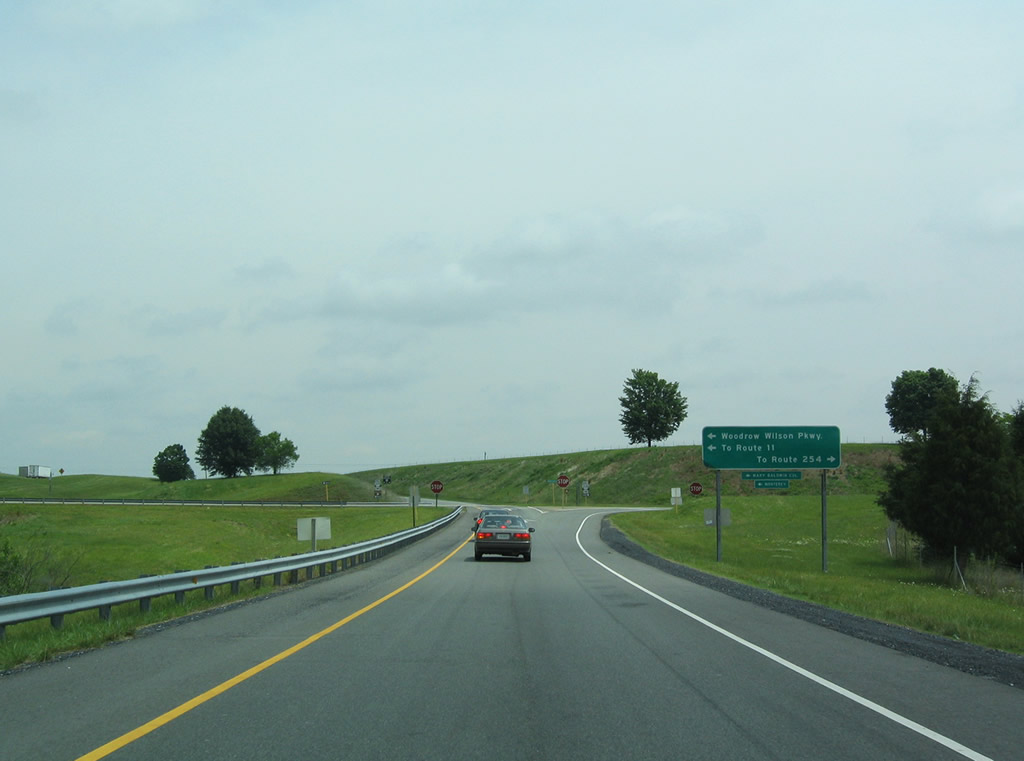
| The 13.91 mile long route of SR 262 (Woodrow Wilson Parkway) concludes east of Exit 225 at SR 254 (New Hope Road / Hermitage Road). SR 254 runs east from Staunton to Hermitage and south to Waynesboro. 06/06/04 |
|
| Prior to 2006, Woodrow Wilson Parkway west to U.S. 250 was designated SR 275. Once the loop around Staunton was completed, SR 275 was renumbered as an extension of SR 262. 06/06/04 |
|
| Interstate 81 runs alongside Ironwood Golf Club on the ensuing stretch north from SR 262 (Woodrow Wilson Parkway). 09/23/14 |
|
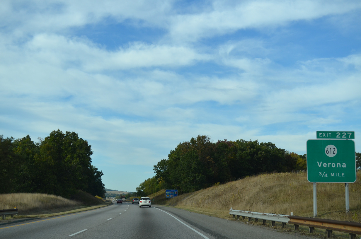
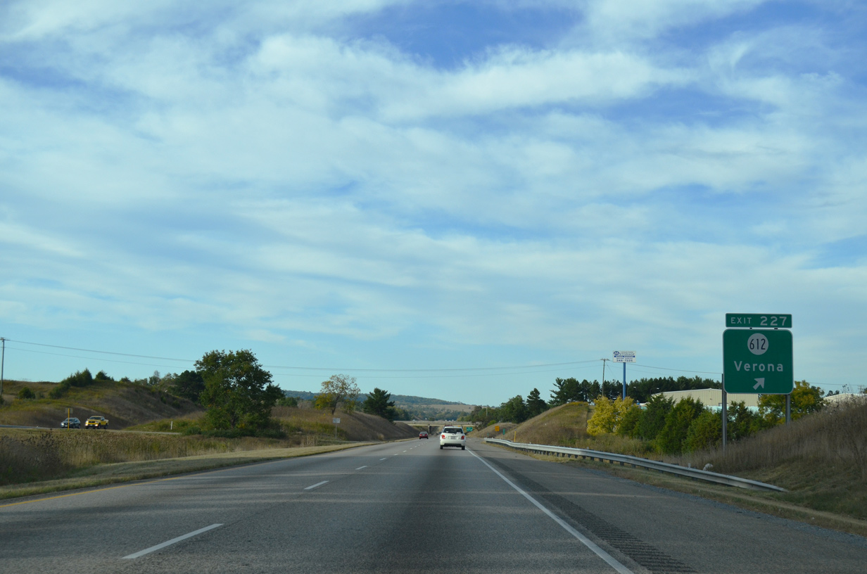
| A diamond interchange (Exit 227) joins Interstate 81 with SR 612 (Laurel Hill Road) at the community of Verona. 09/23/14 |
|
| SR 612 (Laurel Hill Road) meets U.S. 11 (Lee Highway) at a commercialized intersection 1.33 miles west of Exit 227 at Quicks Mill Road. East from parallel SR 792 (Indian Mound Road), SR 612 ventures 9.65 miles to Laurell Hill and U.S. 340 at Crimora. 09/23/14 |
|
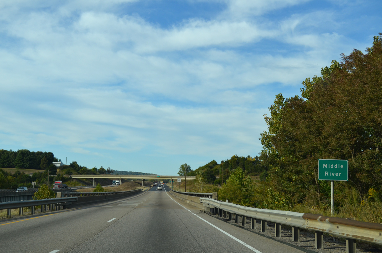
| Interstate 81 crosses the Middle River ahead of the SR 781 (Mill Race Road) overpass at Verona. 09/23/14 |
|
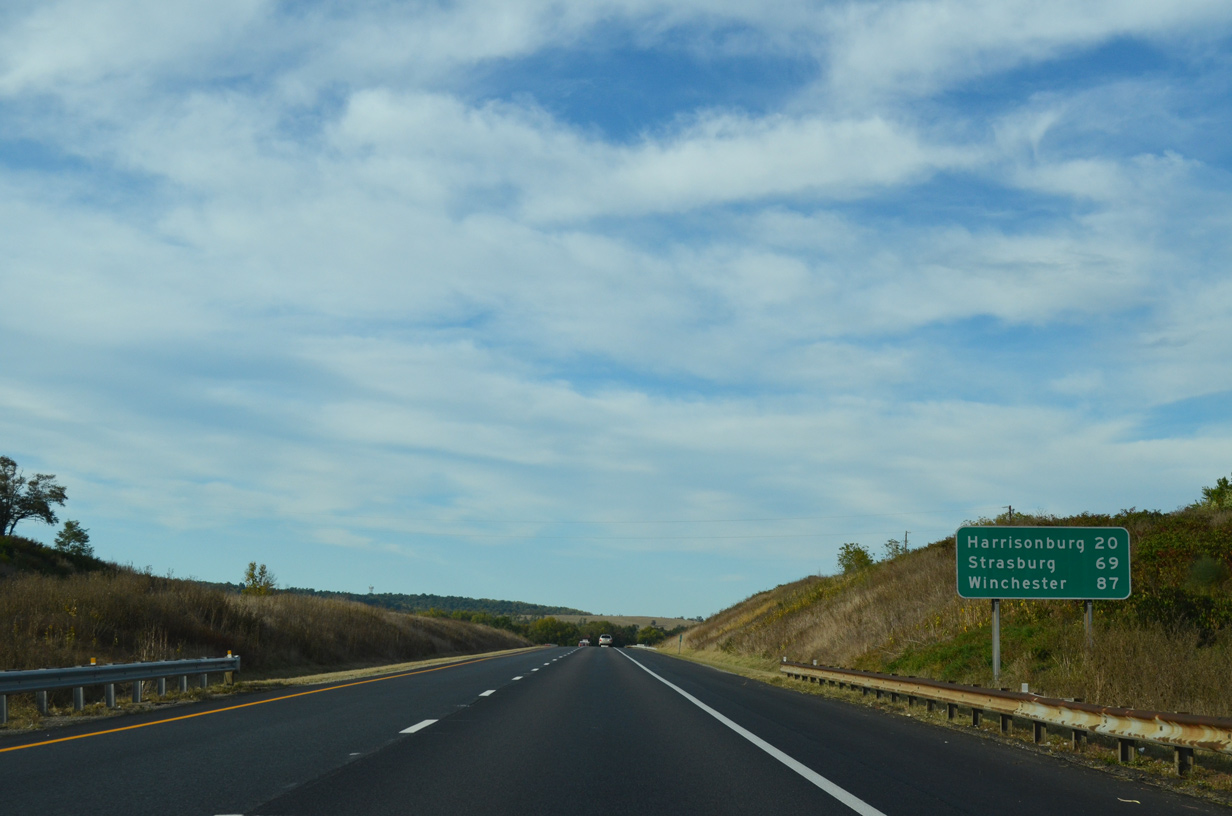
| I-81 advances 20 miles to Harrisonburg and 69 miles to Strasburg, which is located near the west end of Interstate 66. 09/23/14 |
|
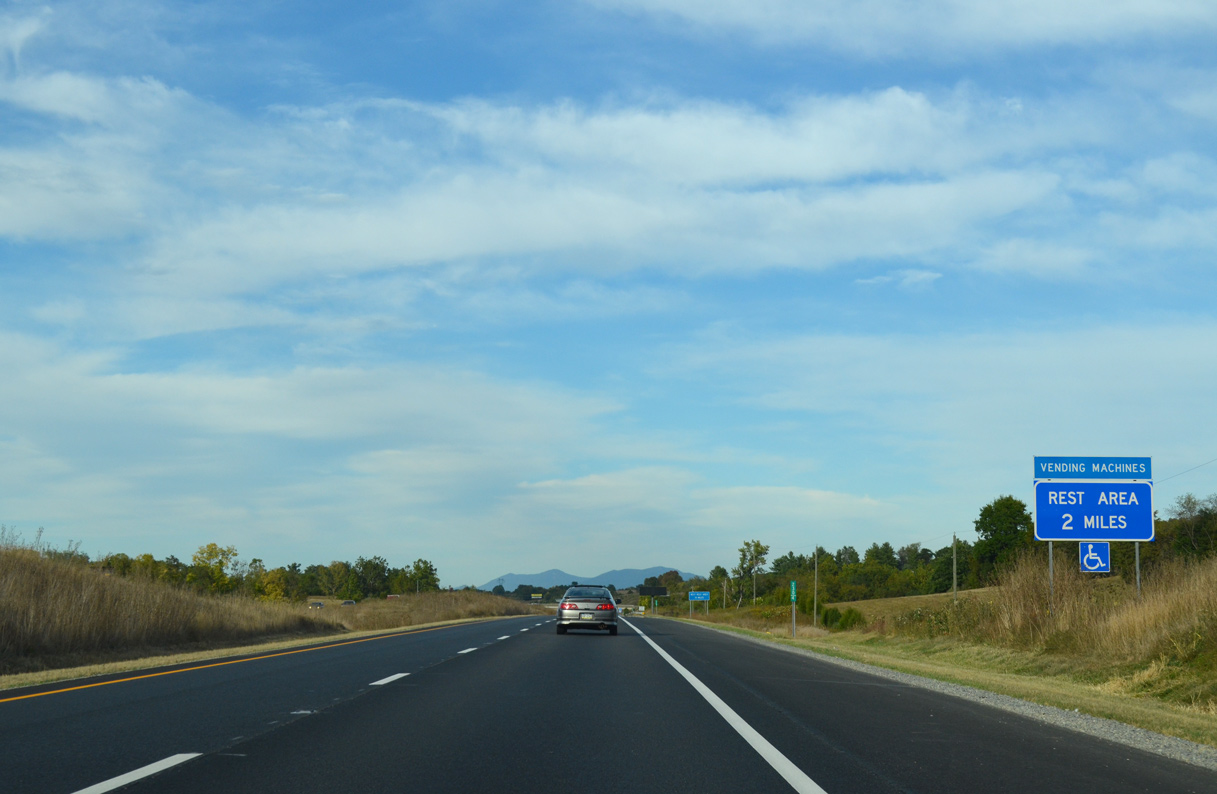
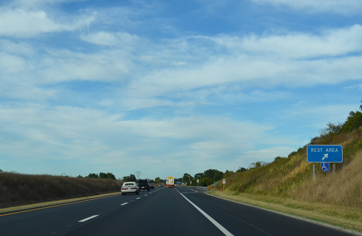
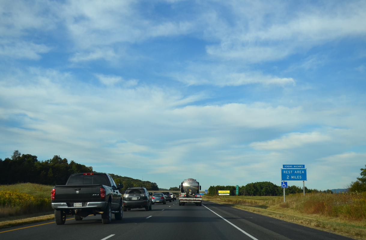
| The Mount Sidney Safety Rest Areas line both sides of Interstate 81 east of Mt. Sidney and the rural community by the same name. 09/23/14 |
|
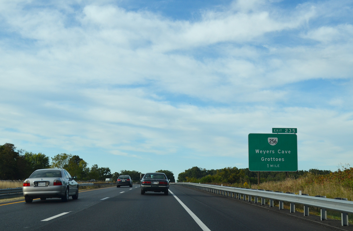
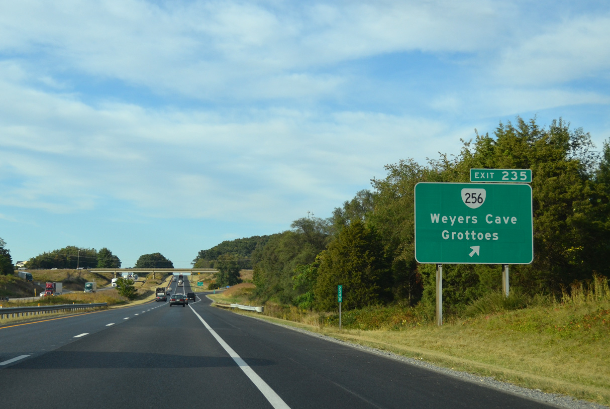
| SR 256 (Weyers Cave Road) stems east from parallel U.S. 11 (Lee-Jackson Highway) to a diamond interchange with I-81 at Exit 235. 09/23/14 |
|
| SR 256 measures 6.78 miles in length east from U.S. 11 and I-81 near Weyers Cave to U.S. 340 at 3rd Street and Augusta Avenue in the town of Grottoes. 09/23/14 |
|
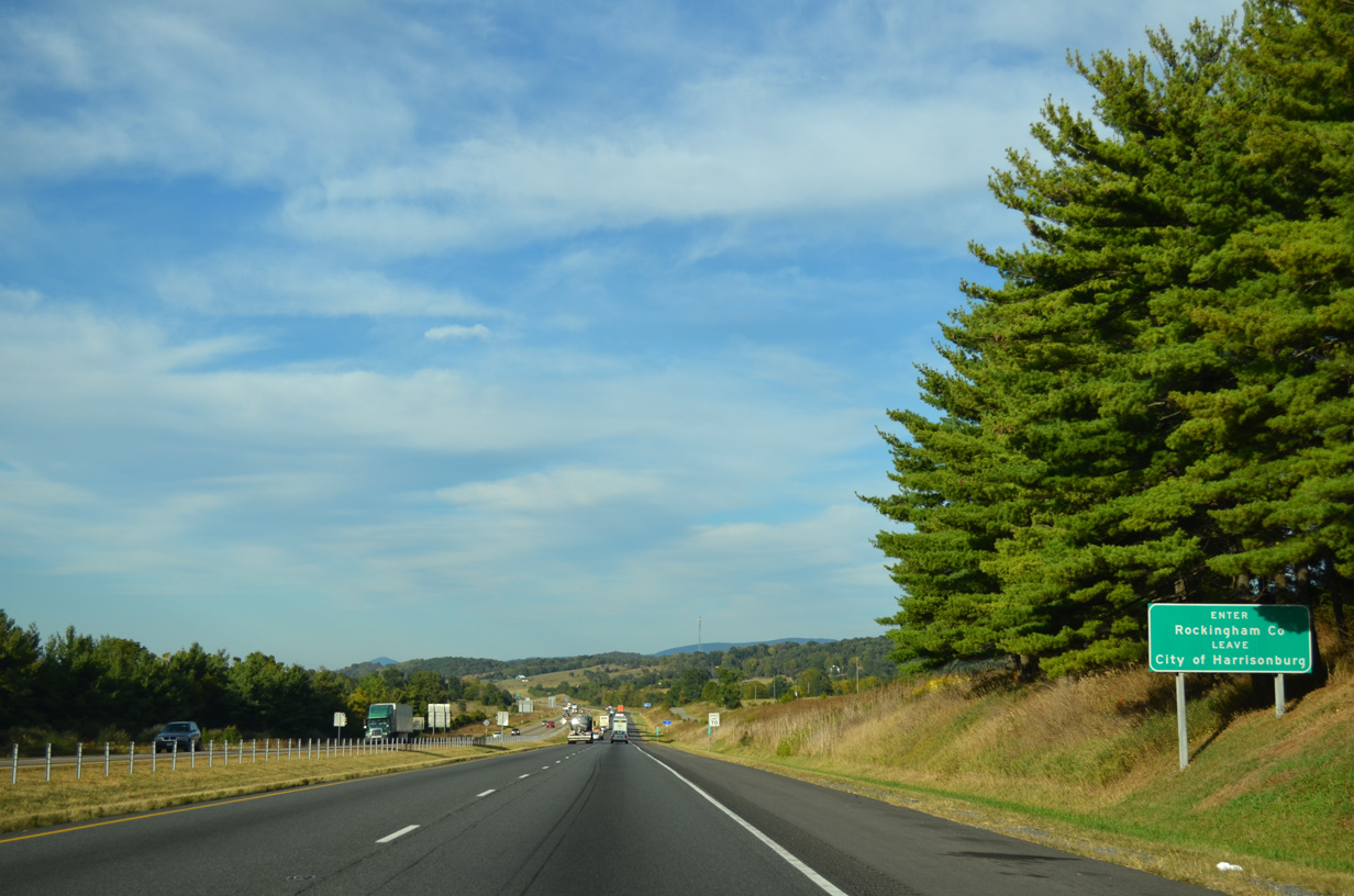
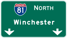
| Interstate 81 enters the Harrisonburg city limits seven miles north of mile marker 236 at Blacks Run. Winchester is 73 miles north from there. 09/23/14 |
|
| I-81 lowers from near 1,300 feet in elevation to cross Naked Creek around 1,100 feet above sea level. 09/23/14 |
|
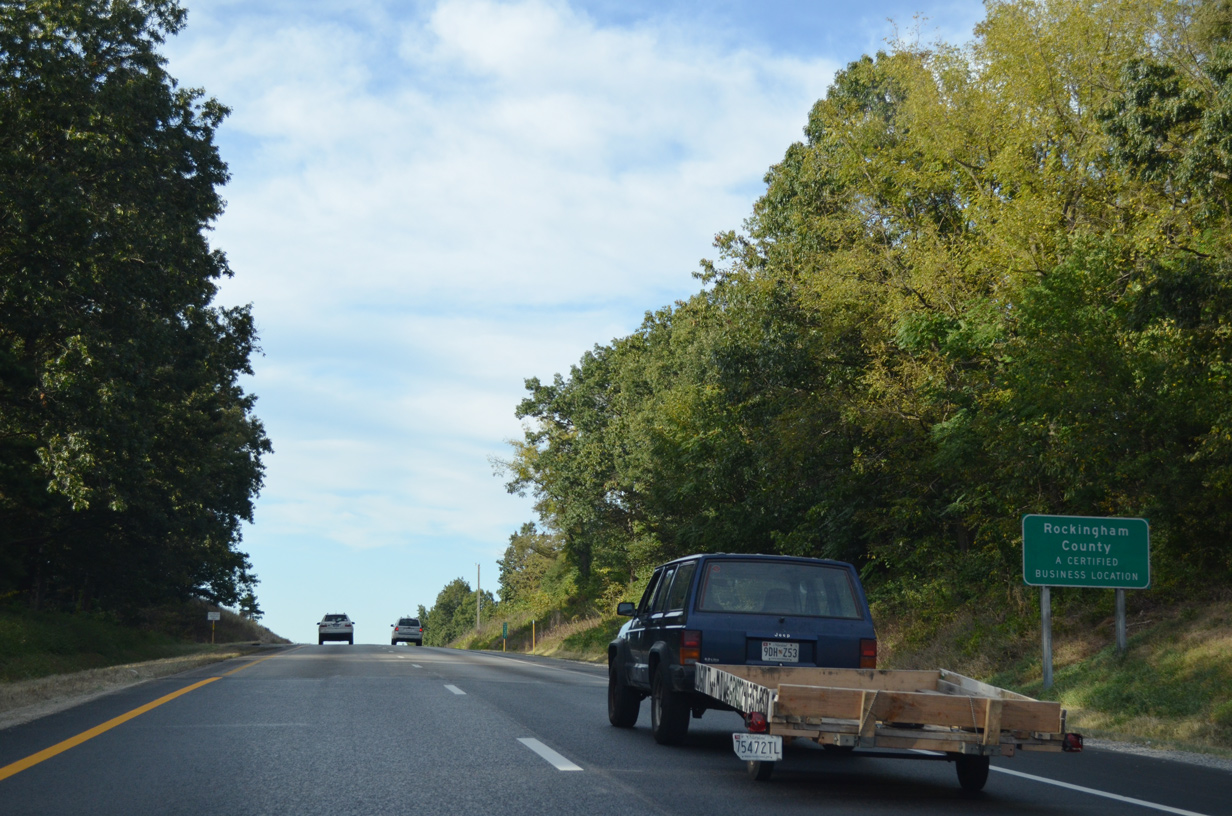
| I-81 enters Rockingham County north of SR 994 (Dices Spring Road) on the ascent from Naked Creek. 09/23/14 |
|
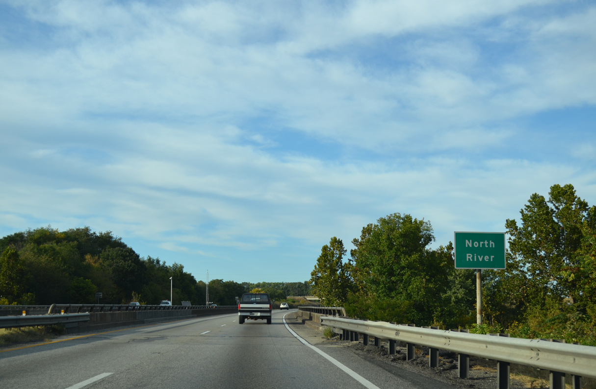
| Agricultural areas spread along both sides of I-81 north from the Augusta County line to the North River. 09/23/14 |
|
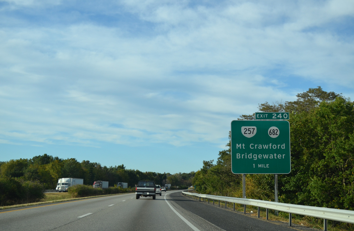
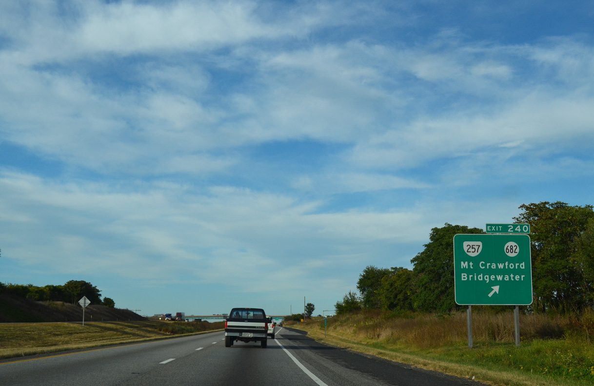
| SR 257 east and SR 682 west along Friedens Church Road come together at a diamond interchange (Exit 240) with I-81 outside the town of Mount Crawford. 09/23/14 |
|
| Curving eastward, I-81 crosses the North River ahead of Exit 240 to Mount Crawford. 09/23/14 |
|
| Beginning at Exit 240, SR 257 travels 18.07 miles west from I-81 and SR 682 (Friedens Church Road) to Mt. Crawford, Bridgewater, Dayton and Narrow Back Mountain beyond Briery Branch. 09/23/14 |
|
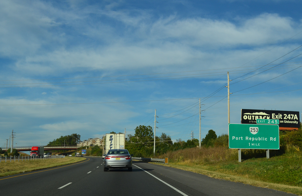
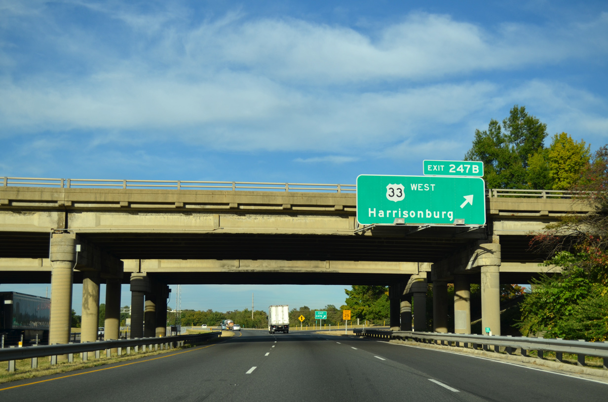
| The eight miles to Downtown Harrisonburg on this distance sign references I-81 north and U.S. 33 west from Exit 247B. SR 253 north from Exit 245 to U.S. 11 is a more direct route at 6.4 miles in length. 09/23/14 |
|
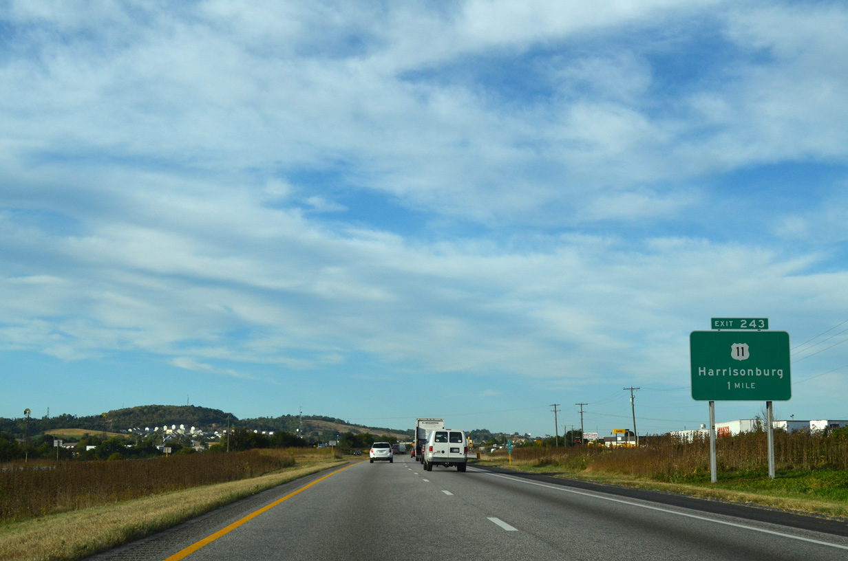
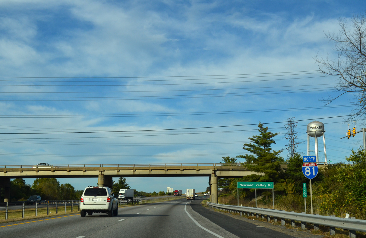
| A trumpet interchange (Exit 243) links Interstate 81 with parallel U.S. 11 (S Main Street) a half mile into the independent city of Harrisonburg. 09/23/14 |
|
| U.S. 11 (S Main Street) constitutes a commercial arterial north to the campus of James Madison University in Harrisonburg. 09/23/14 |
|
| Pleasant Valley Road spans I-81 just beyond Exit 243. 09/23/14 |
|
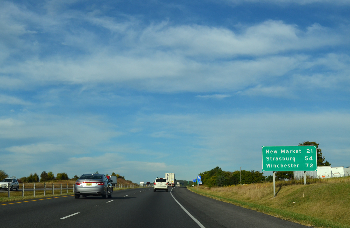
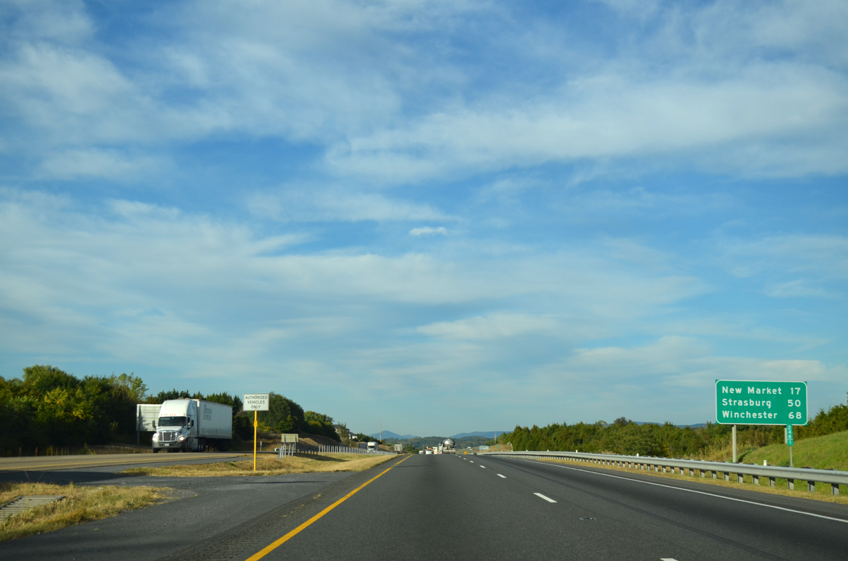
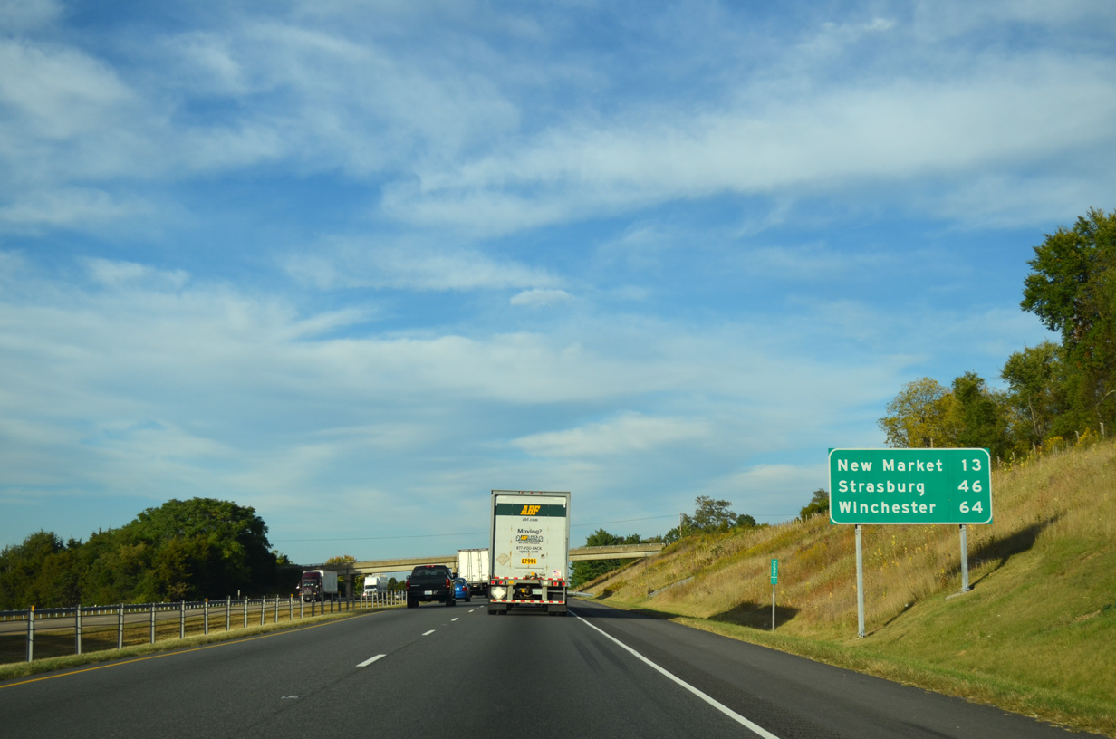
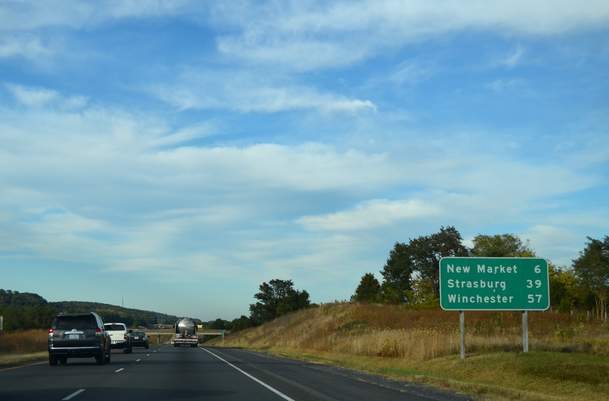
| Located in southern Shenandoah County, the town of New Market follows Harrisonburg along I-81 north in 21 miles. 09/23/14 |
|
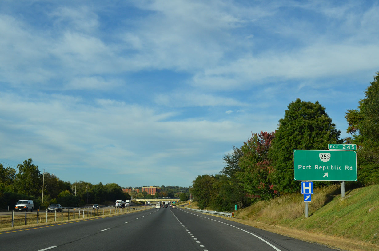
| The succeeding exit from I-81 north is with SR 253 (Port Republic Road) to James Madison University (JMU). 09/23/14 |
|
| SR 253 was established in 2005 over what was SR 659, 12.18 miles north from U.S. 340 (East Side Highway) near Port Republic to SR 42 (S High Street) in Harrisonburg.1 09/23/14 |
|
| Carrier Drive spans between Bluestone Drive and University Boulevard (SR 331) at JMU beyond this confirming marker. 09/23/14 |
|
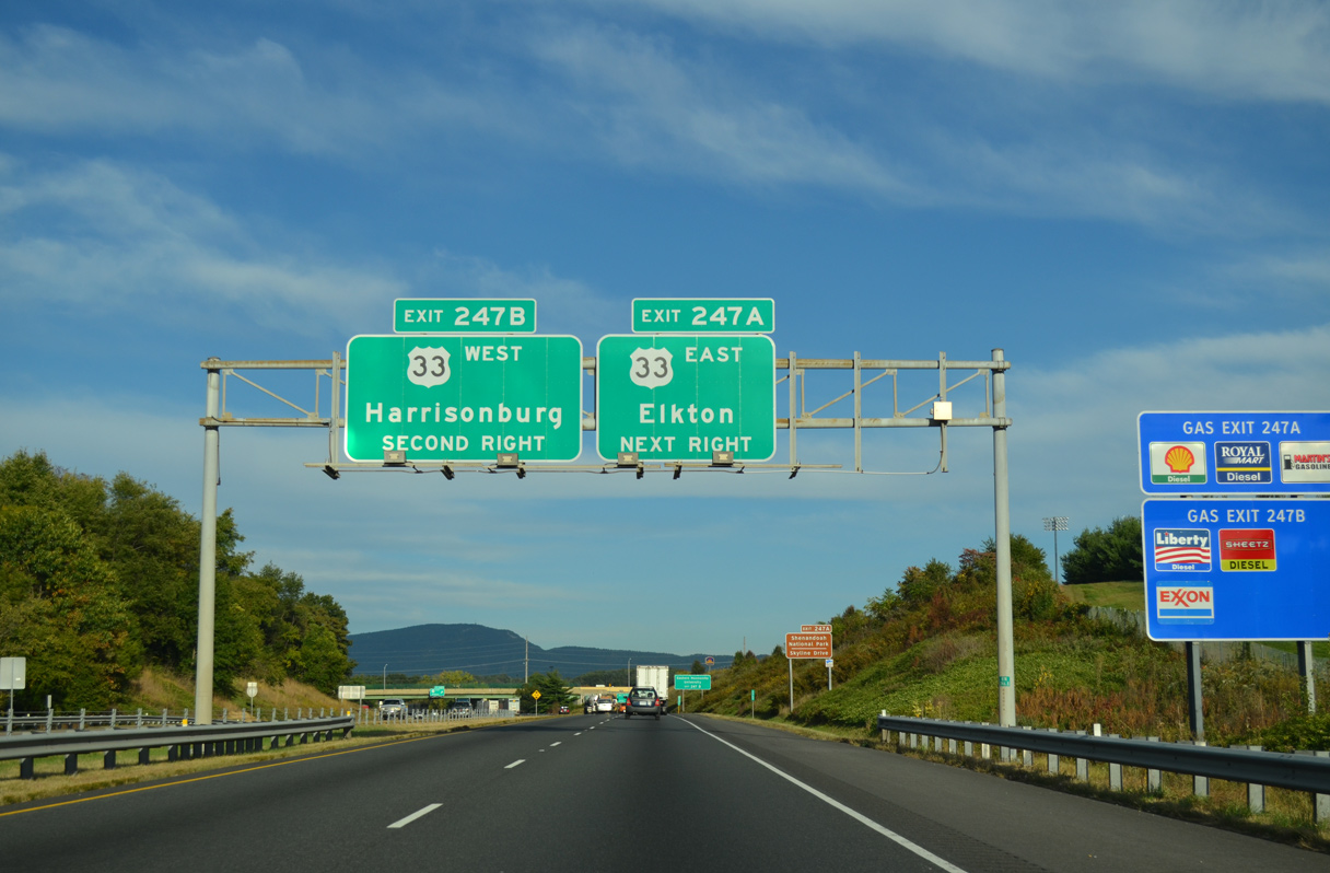
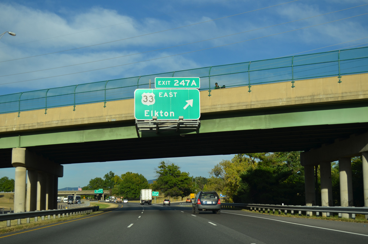
| U.S. 33 (Market Street) joins Valley Mall, and the commercialized south side of Harrisonburg with the central business district. A cloverleaf interchange connects I-81 with U.S. 33 at Exits 247A/B. 09/23/14 |
|
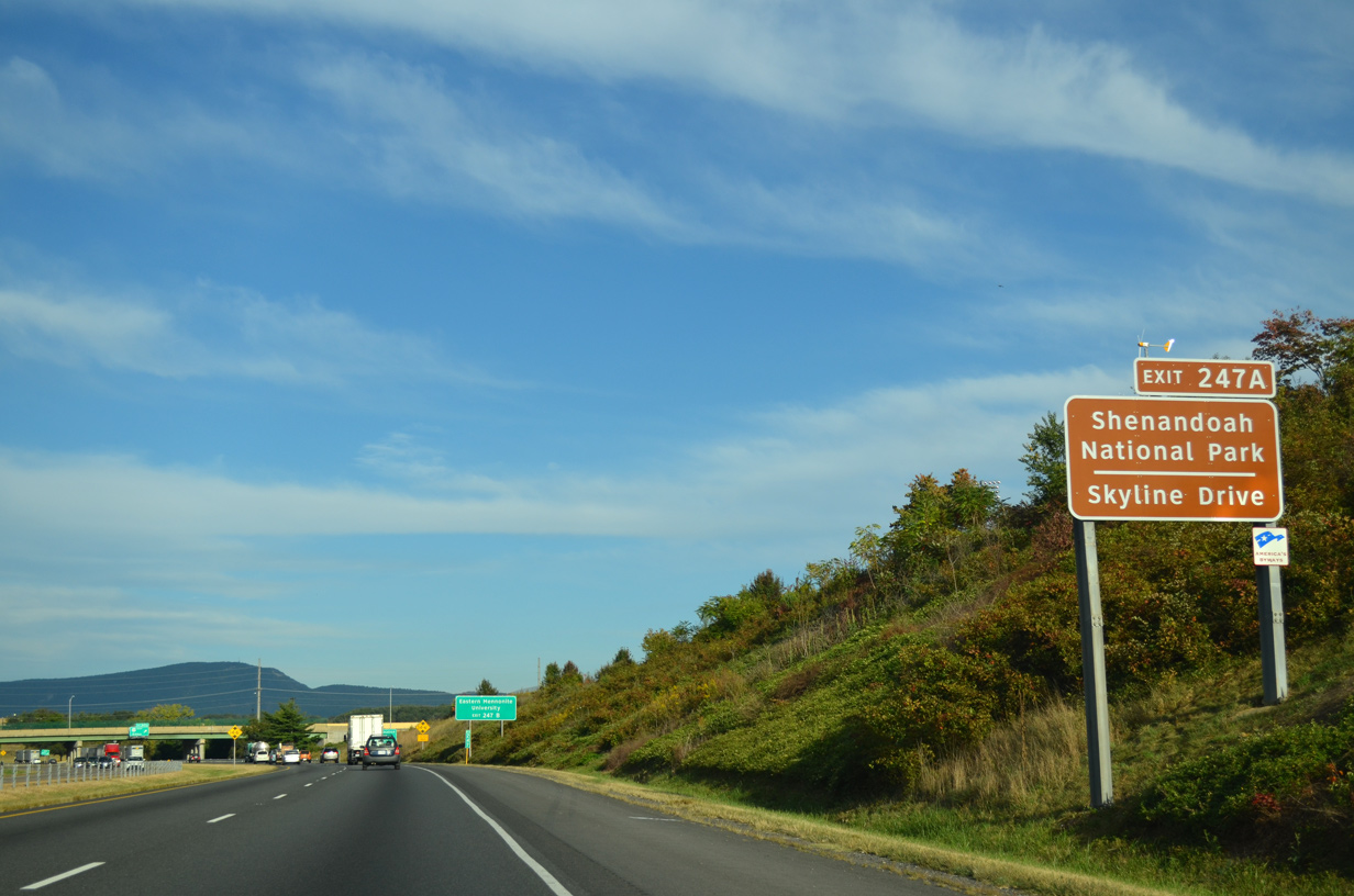
| East from Harrisonburg, U.S. 33 (Spotswood Trail) circumvents Massanutten Mountain to Penn Laird, McGaheysville, where SR 644 (Resort Drive) stems north to Hopskins Spring and Massanutten Resort, and U.S. 340 at Elkton. 09/23/14 |
|
| Beyond Elkton, U.S. 33 (Spotswood Trail) ascends into the Blue Ridge Mountains through Shenandoah National Park to Skyline Drive at Swift Run Gap. 09/23/14 |
|
| Exit 247A leaves Interstate 81 north at the Reservoir Street overpass for U.S. 33 (Market Street) east. U.S. 33 travels 135.69 miles within Virginia southeast to Stanardsville, Louisa and Richmond. 09/23/14 |
|
| Heading 23.71 miles west, U.S. 33 (Market Street) continues from Exit 247B through Harrisonburg to Rawley Springs and Shenandoah Mountain, where it enters West Virginia. 09/23/14 |
|
| I-81 proceeds 1.38 miles northeast from Exit 247B to the Harrisonburg city line and 17 miles to New Market. 09/23/14 |
|
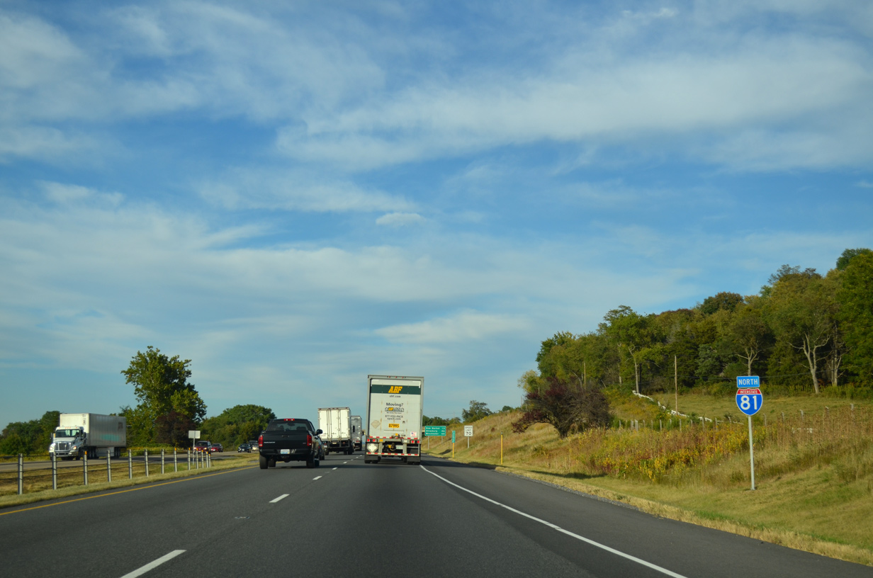
| Reentering Rockingham County, Interstate 81 transitions back into a rural freeway. 09/23/14 |
|
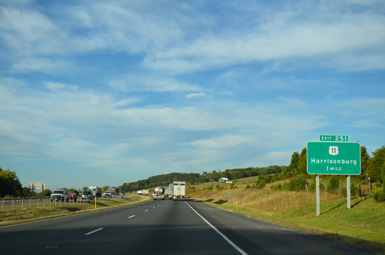
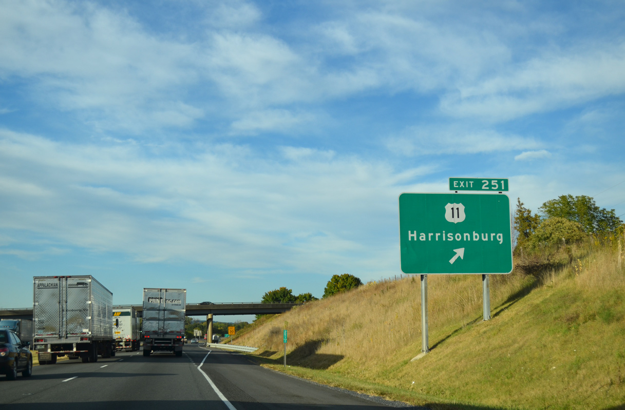
| A second trumpet interchange (Exit 251) and access road joins Interstate 81 with parallel U.S. 11 along N Valley Pike. 09/23/14 |
|
| U.S. 11 follows Valley Pike southwest to N Main Street in Harrisonburg and north to Melrose and Lacey Spring just west of Interstate 81. 09/23/14 |
|
| A 6.51 mile exit less stretch leads I-81 north to U.S. 11 (N Valley Pike) at Mauzy. Both routes reach New Market in 13 miles. 09/23/14 |
|
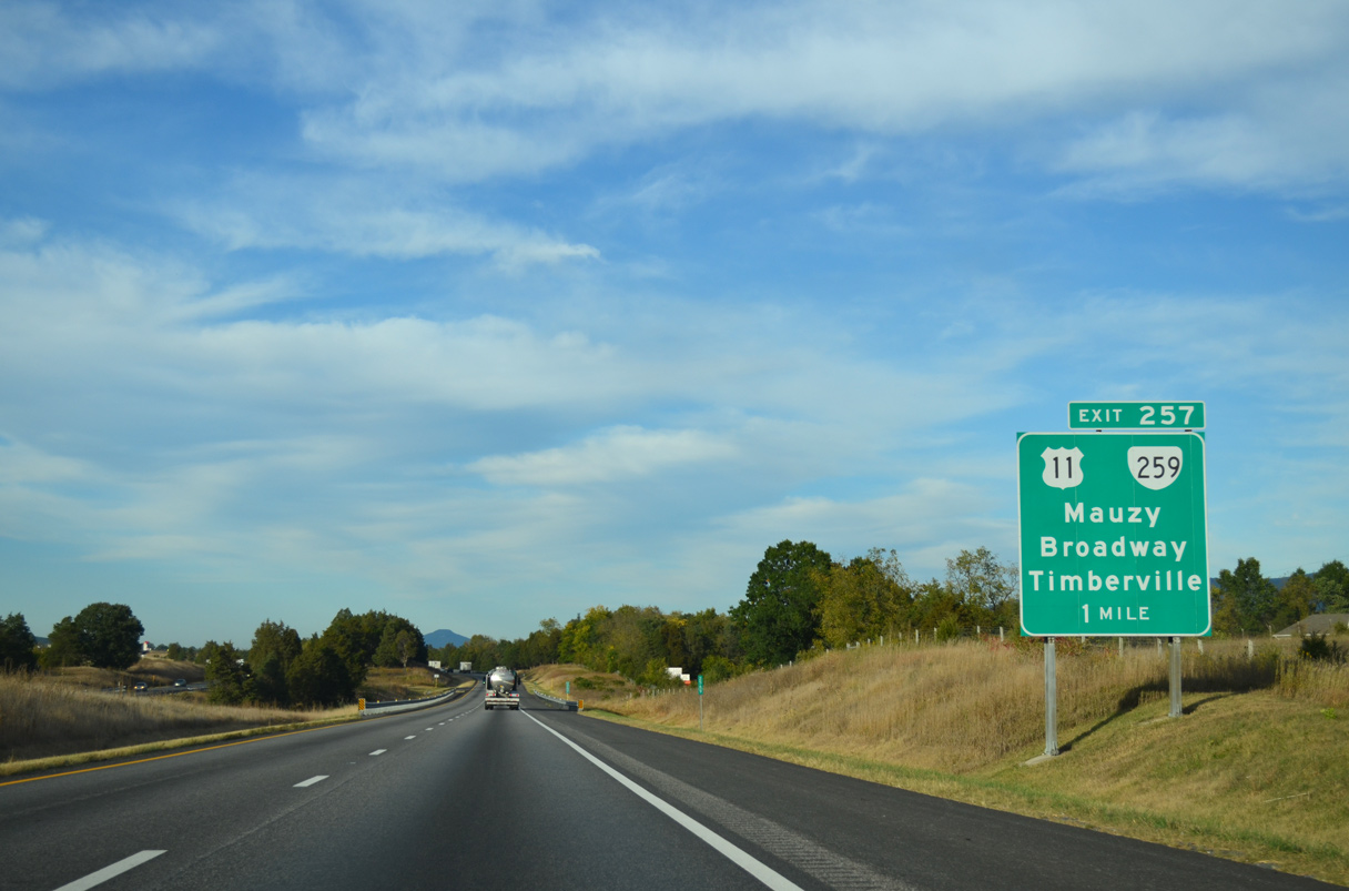
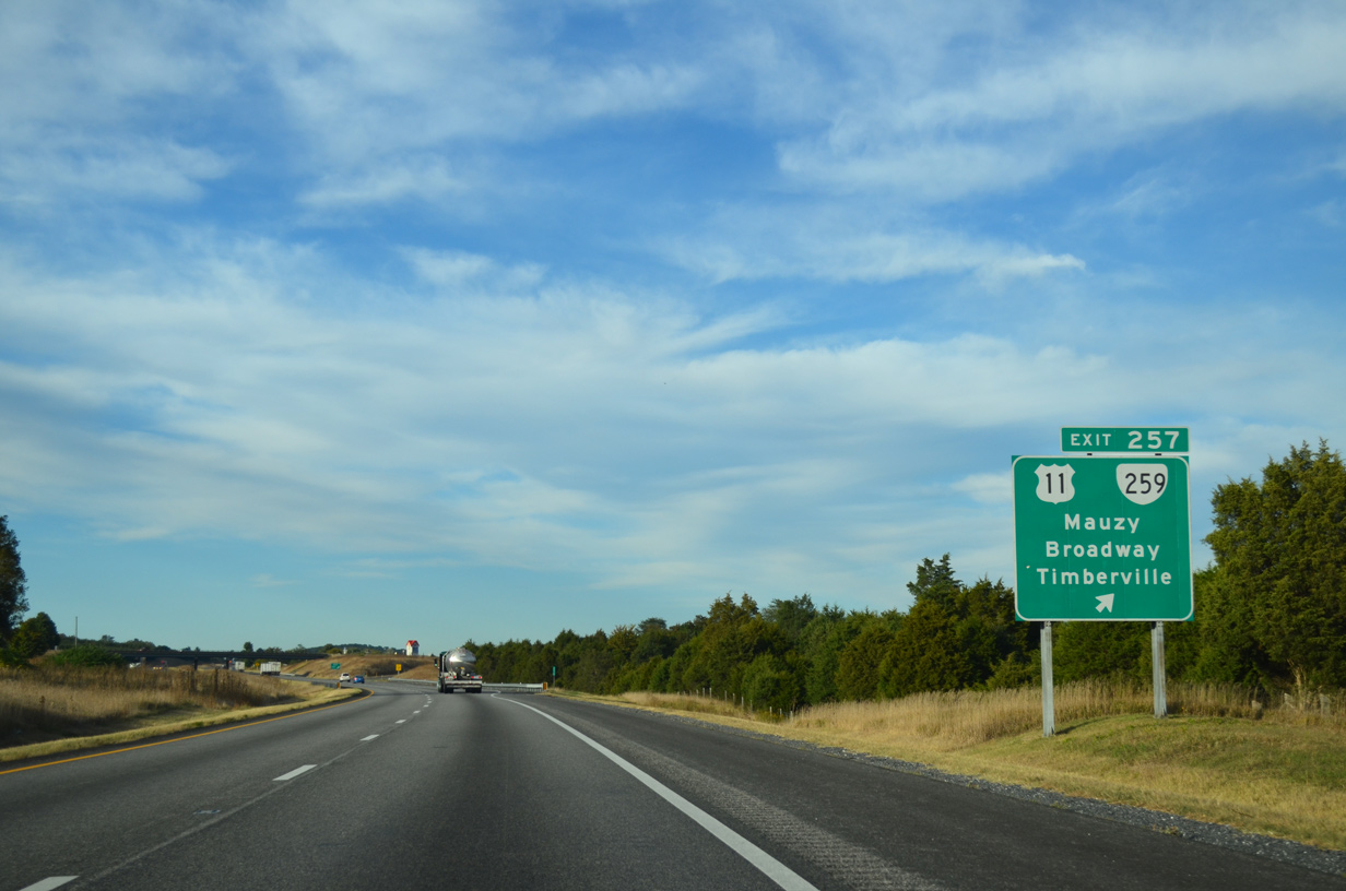
| The modified diamond interchange at Exit 257 links I-81 with U.S. 11 (N Valley Pike) and the south end of SR 259 (Maryland Road). 09/23/14 |
|
| SR 259 forms a multi state highway with West Virginia Route 259 to Baker and SR 259 to U.S. 50 in Frederick County. Locally SR 259 (Maryland Road) angles 4.40 miles northwest to SR 42 in the town of Broadway. SR 42 leads to Timberville. 09/23/14 |
|
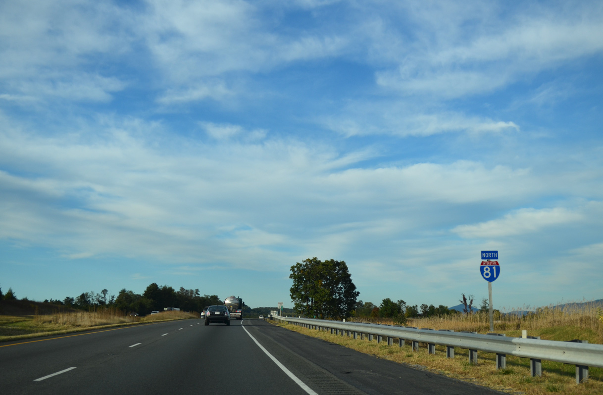
| I-81 shifts west of U.S. 11 (N Valley Pike) and Tenth Legion. 09/23/14 |
|
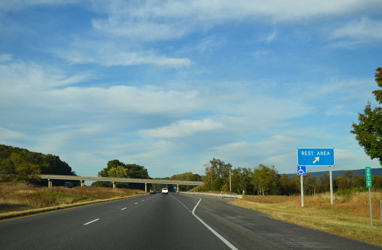
| New Market Safety Rest Area North is located at mile marker 262. 09/23/14 |
|
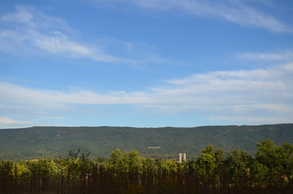
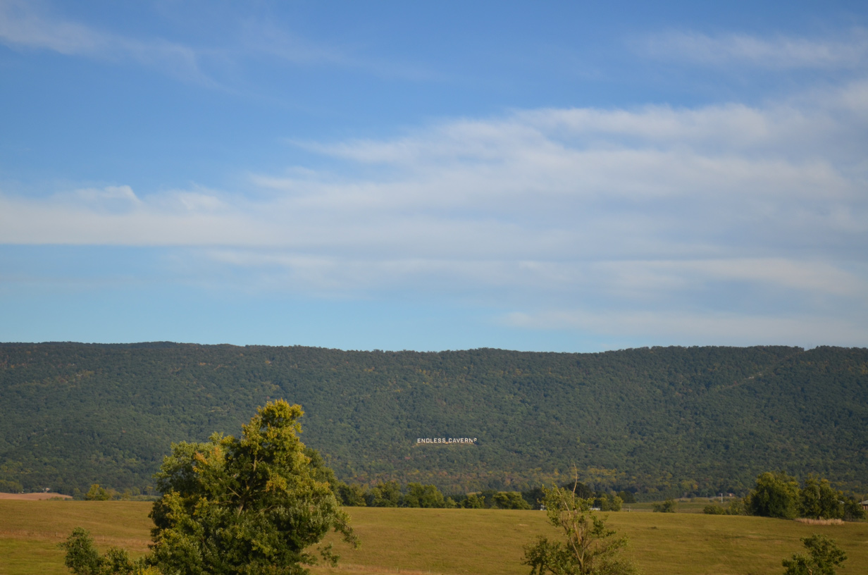
| Endless Caverns & RV Resort lies to the east of I-81 and U.S. 11 at Massanutten Mountain. 09/23/14 |
|
| The New Market Safety Rest Area North accommodates 50 spaces for cars and 19 for trucks, buses and RV's.2 09/23/14 |
Page Updated 04-29-2021.

 North
North