|
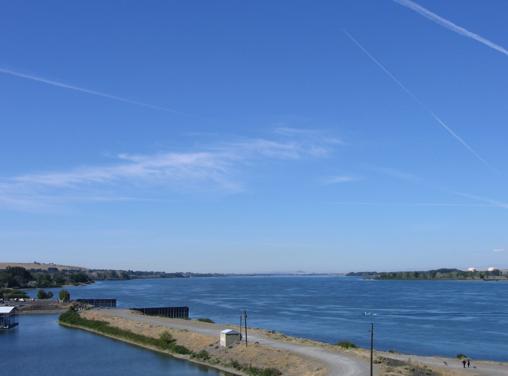
| Westward view of the Columbia River from the Umatilla Bridge. 08/31/06 |
|
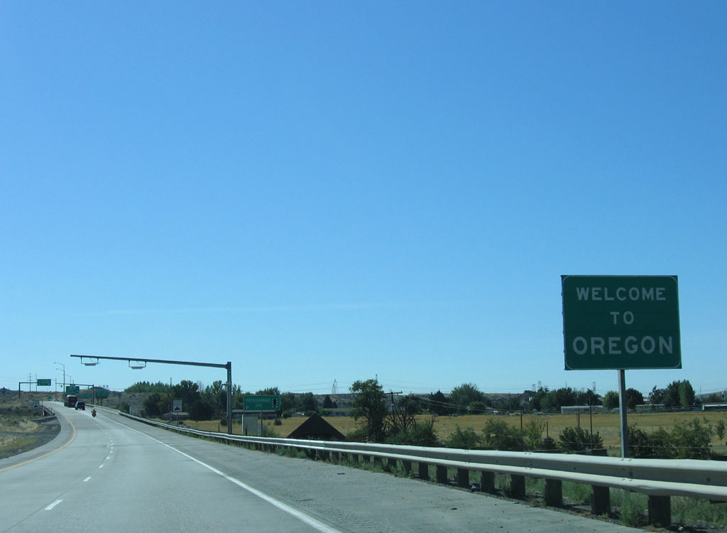
| A welcome sign precedes the 3rd Street under crossing. A tourist information center lies off Exit 1 along U.S. 730 (6th Street). 08/31/06 |
|
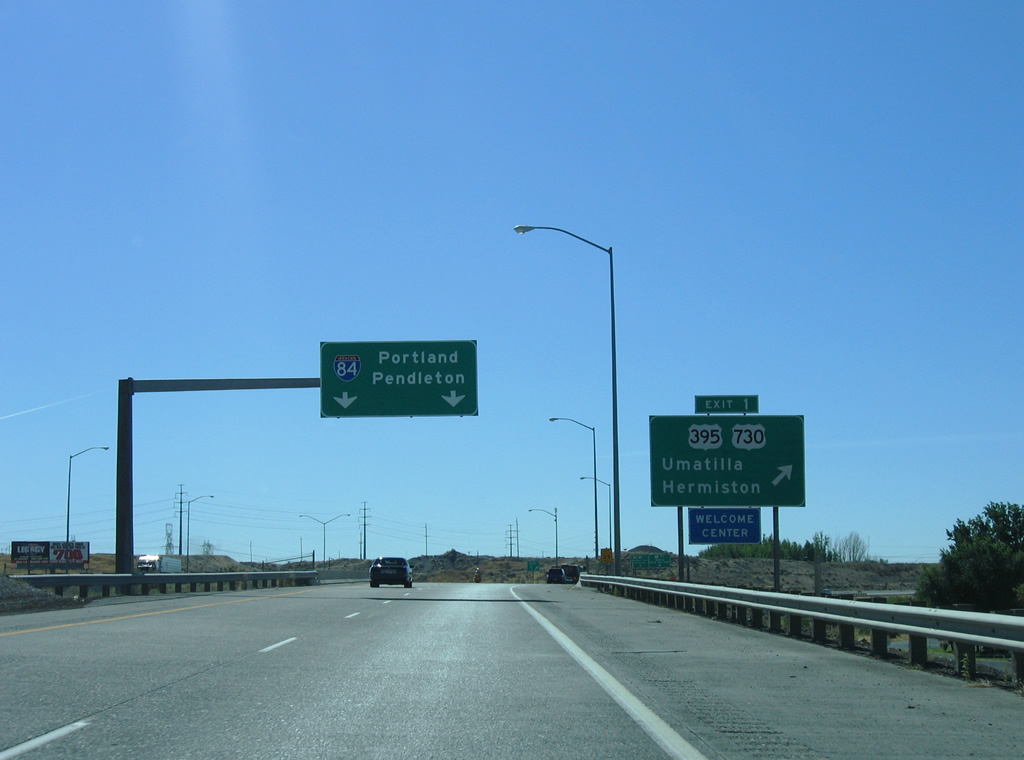
| When in operation, a truck weigh station requires trucks to depart Interstate 82 east at Exit 1 for U.S. 730 west to an adjacent set of scales. Weigh in motion sensors are also used on the freeway mainline. 08/31/06 |
|
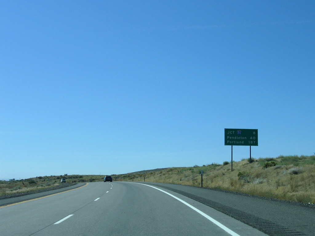
| The 20.56 mile overlap with U.S. 395 from Kennewick, Washington concludes at Exit 1. U.S. 395 runs 13.6 miles through the city of Hermiston before joining I-84 east at Stanfield. U.S. 730, a 42 mile route between I-84 near Boardman and U.S. 12 near Wallula, follows 6th Street through the Umatilla city center en route to Irrigon. 08/31/06 |
|
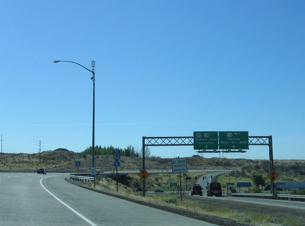
| U.S. 395 south / U.S. 730 east travel a short distance east to Hermiston Junction where U.S. 395 turns south opposite Devore Road north to McNary Dam. 08/31/06 |
|
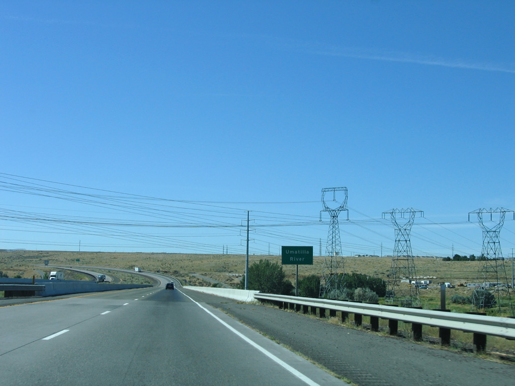
| The Umatilla River flows northwest from the Blue Mountains into the Columbia River. 08/31/06 |
|
| The first shield for Interstate 82 east in Oregon stands south of the Umatilla River. 08/31/06 |
|
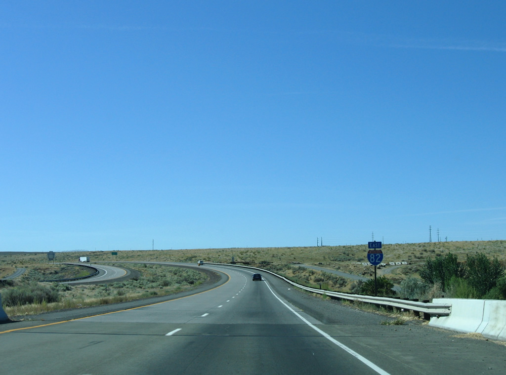
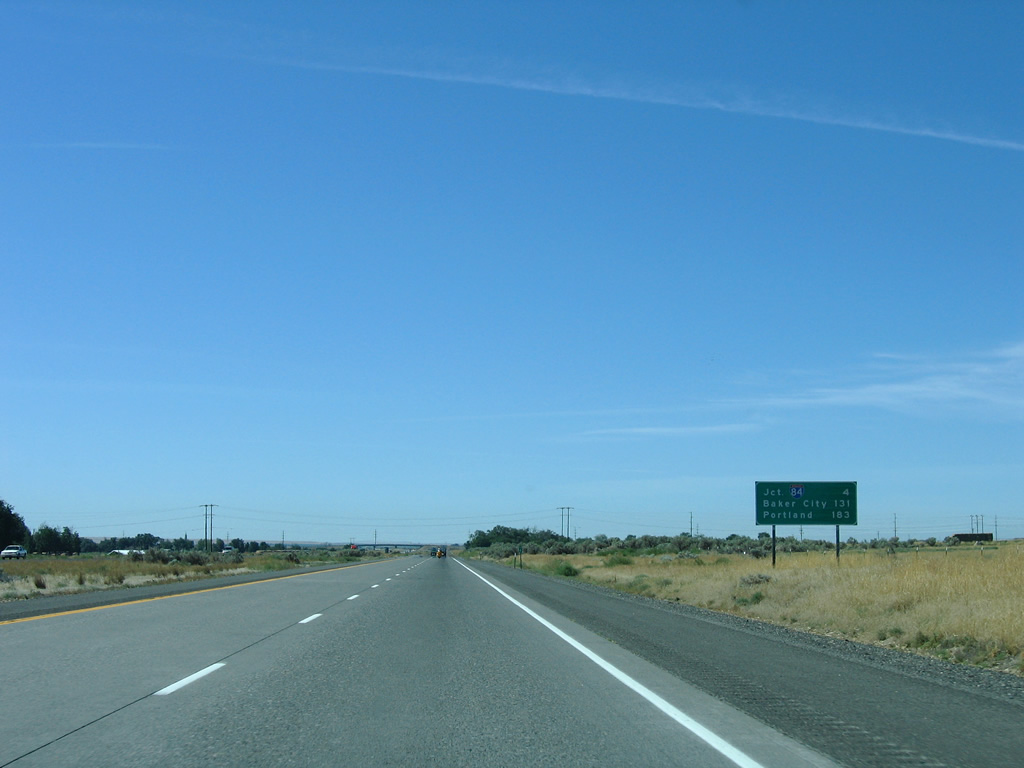
| Eight miles of eastbound Interstate 82 remain. Pendleton and Portland, destinations along I-84, are referenced at 40 and 187 miles away respectively. 08/31/06 |
|
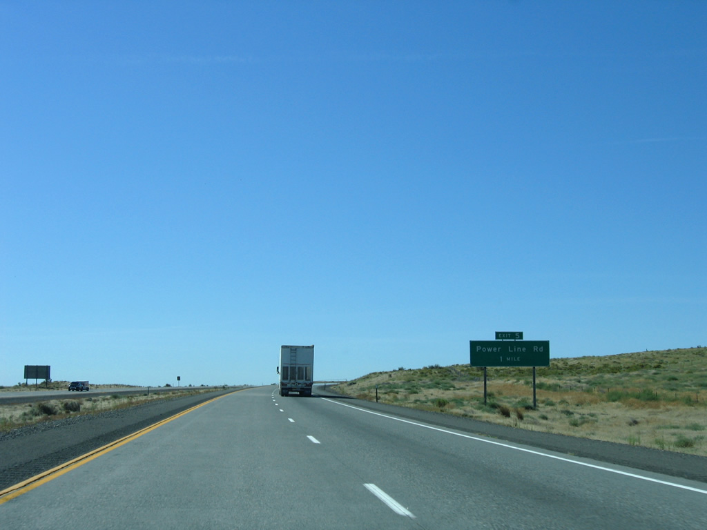
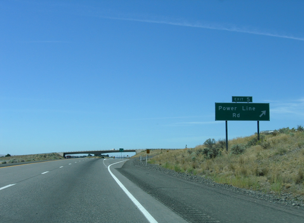
| Powerline Road leads south from U.S. 730 and Umatilla to cross paths with Interstate 82 at a diamond interchange (Exit 5) in one mile. 08/31/06 |
|
| Powerline Road traverses agricultural areas east of Interstate 82. The road ends at Westland Road, west of Hermiston. 08/31/06 |
|
| Interstate 82 proceeds south four miles to the exchange with I-84/U.S. 30. 08/31/06 |
|
| Baker City replaces Pendleton as the control point for Interstate 84 east. 08/31/06 |
|
| The adjacent power line corridor switches sides with Interstate 82 southward into Umatilla Army Depot. 08/31/06 |
|
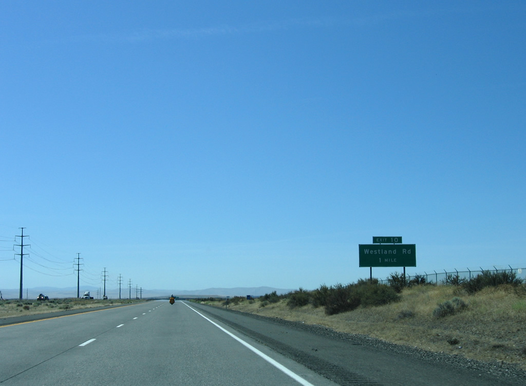
| Westland Road leads southwest from Highland Avenue and Hermiston to I-84/U.S. 30 at Exit 180. Lamb Road connects the local road with I-82 via the diamond interchange at Exit 10. 08/31/06 |
|
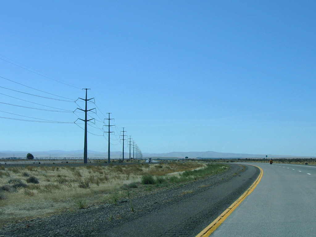
| Interstate 82 separates Umatilla Army Depot from agricultural areas ahead of Exit 10. The adjacent power line corridor turns eastward alongside Lamb Road to a plant on Westland Road. 08/31/06 |
|
| Exit 10 departs Interstate 82 one mile ahead of I-84/U.S. 30. 08/31/06 |
|
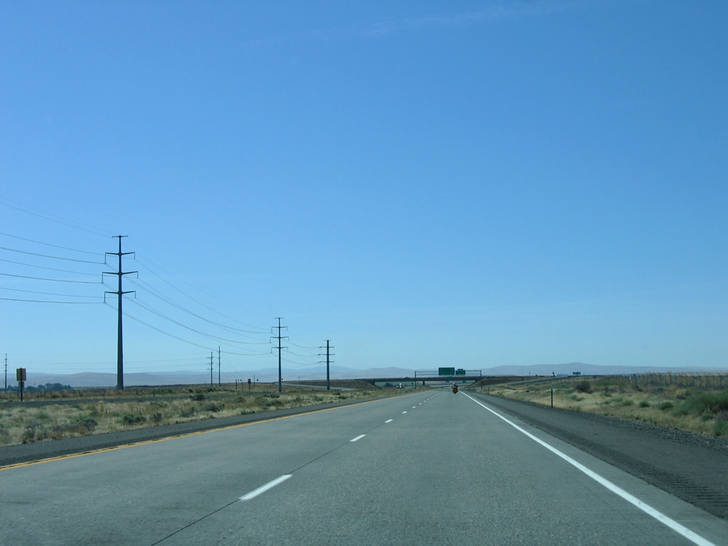
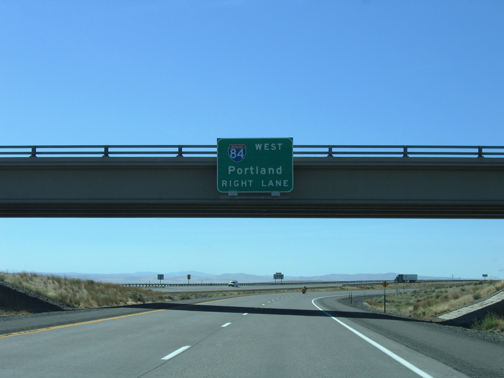
| Passing under Lamb Road on I-82 east. Interstate 84 follows the Columbia River west to The Dalles, Hood River and Portland. 08/31/06 |
|
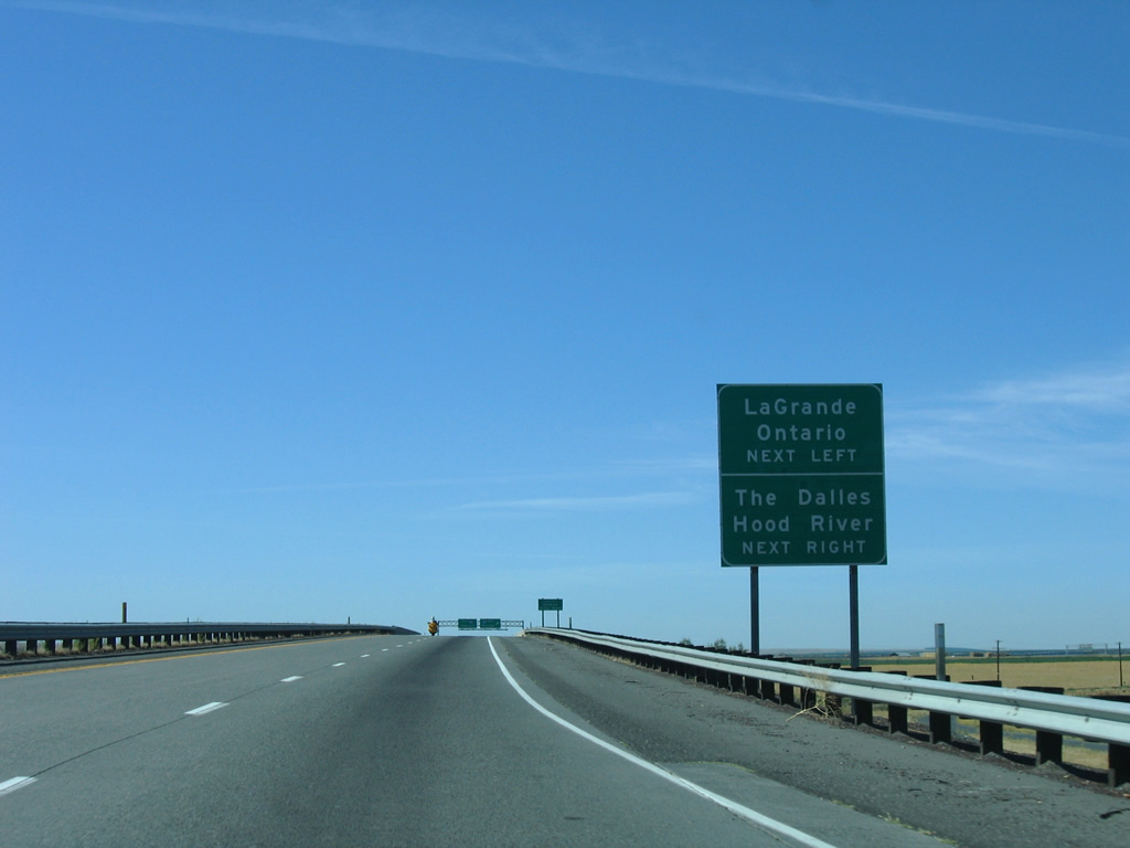
| Interstate 82 leaves Umatilla Army Depot at the Union Pacific Railroad under crossing. The exit for I-84 east to LaGrande and Ontario separates in a quarter mile. 08/31/06 |
|
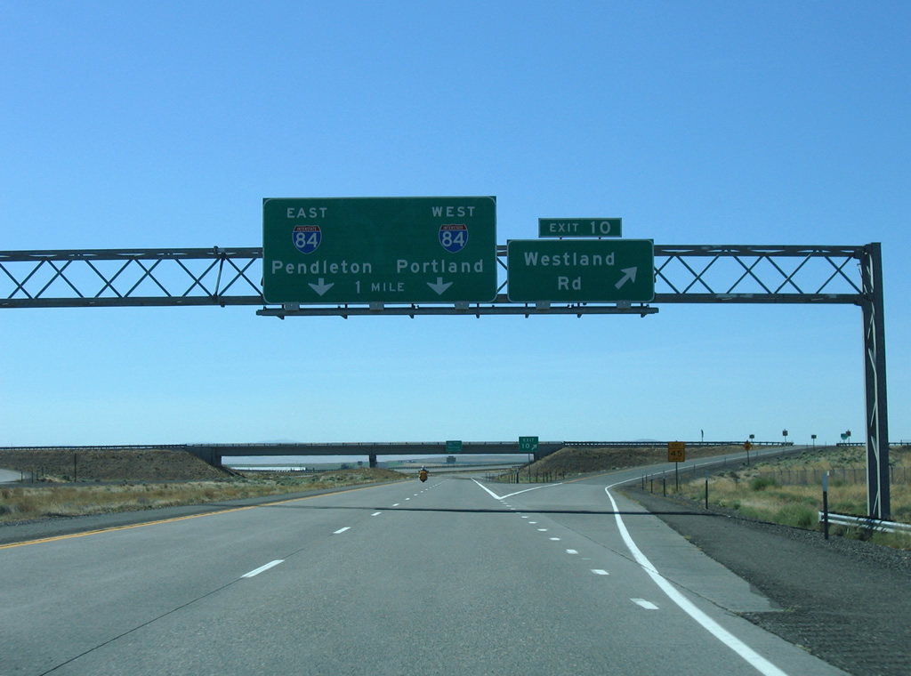
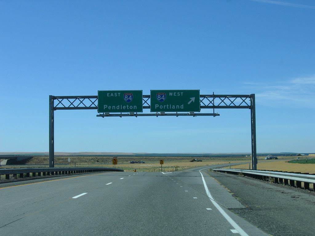
| I-82 eastbound defaults onto I-84 east to Pendleton. U.S. 30, omitted on guide signs from I-82, overlaps with I-84, 30 miles east to Pendleton and 93 miles west to The Dalles. 08/31/06 |
|
| A directional T interchange connects Interstate 82 east with I-84/U.S. 30. 08/31/06 |
Page Updated 10-05-2011.

 East
East  South
South