|
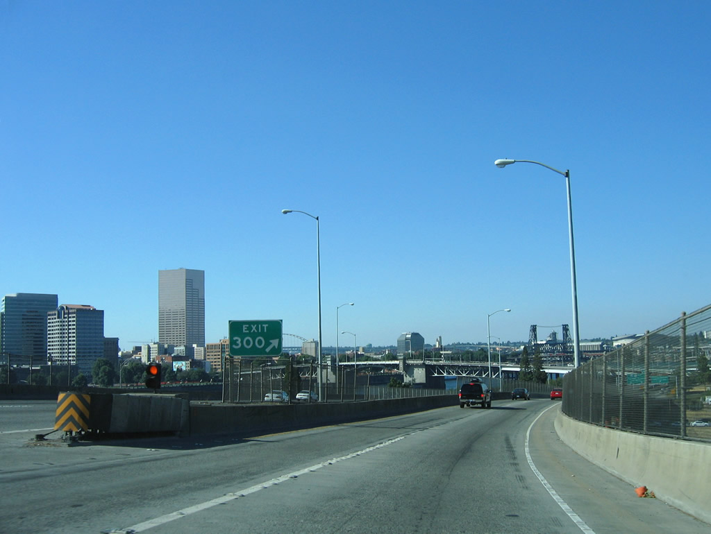
| Interstate 84 commences from northbound I-5 at Exit 300 along a flyover ramp spanning the Hawthorne Bridge in central Portland. 08/27/06 |
|
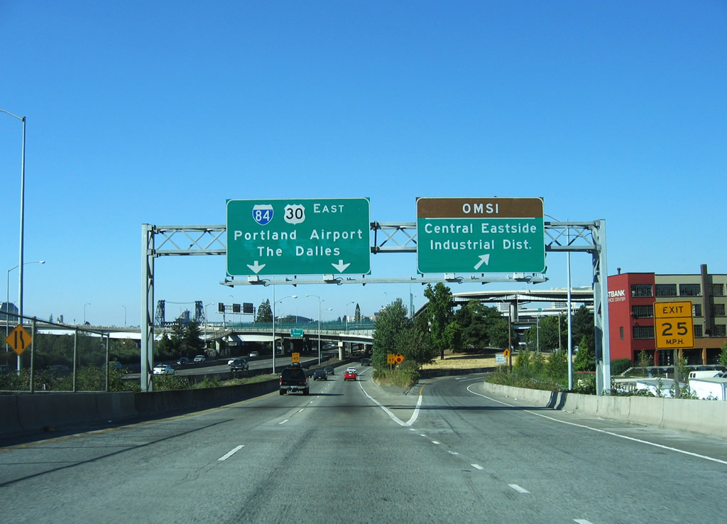
| Exit 300 from I-5 north to I-84 east includes an off-ramp to Yamhill Street at Water Avenue south to the Oregon Museum of Science and Industry (OMSI). 08/27/06 |
|
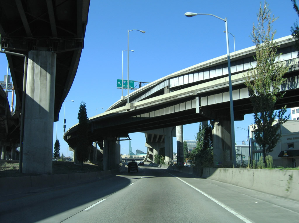
| 1.1 miles in length, the ramp from I-5 north for I-84/U.S. 30 east continues through the multi level interchange at the Morrison Bridge. 08/27/06 |
|
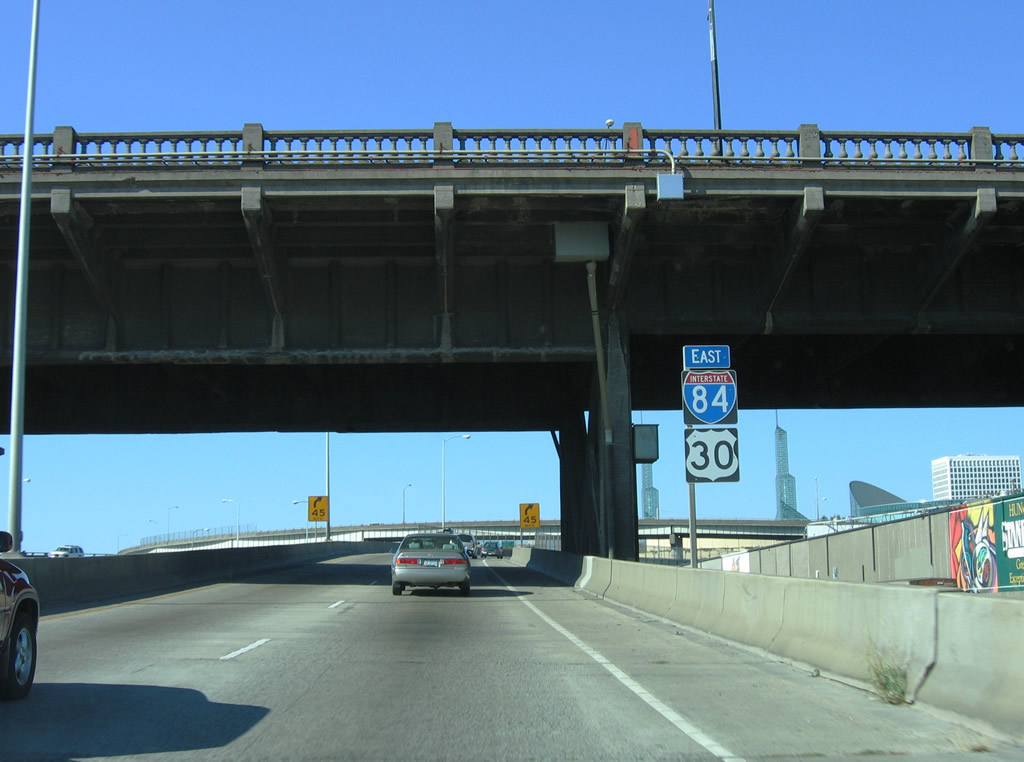
| A confirming marker for Interstate 84 east stands below the Burnside Bridge adjacent to I-5 and the Willamette River. Burnside Street was formerly part of U.S. 30 and later U.S. 30 ALT. 08/27/06 |
|
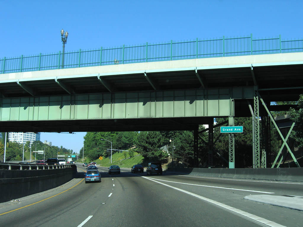
| Turning east from the directional T interchange along I-5 at Exit 301, I-84/U.S. 30 pass under OR 99E (former U.S. 99E) along the couplet of Martin Luther King, Jr. Boulevard and Grand Avenue. 08/27/06 |
|
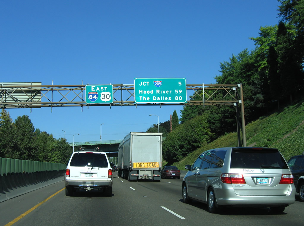
| The distance sign preceding was replaced by 2014 to show Hood River at 61 miles and The Dalles at 82 miles. The replacement was removed by 2018 with the installation of dynamic speed signs. 08/27/06 |
|
| Exit 1 departs 0.75 miles east of the 21st Avenue overpass. Cesar Chavez Boulevard was previously 39th Avenue. 08/27/06 |
|
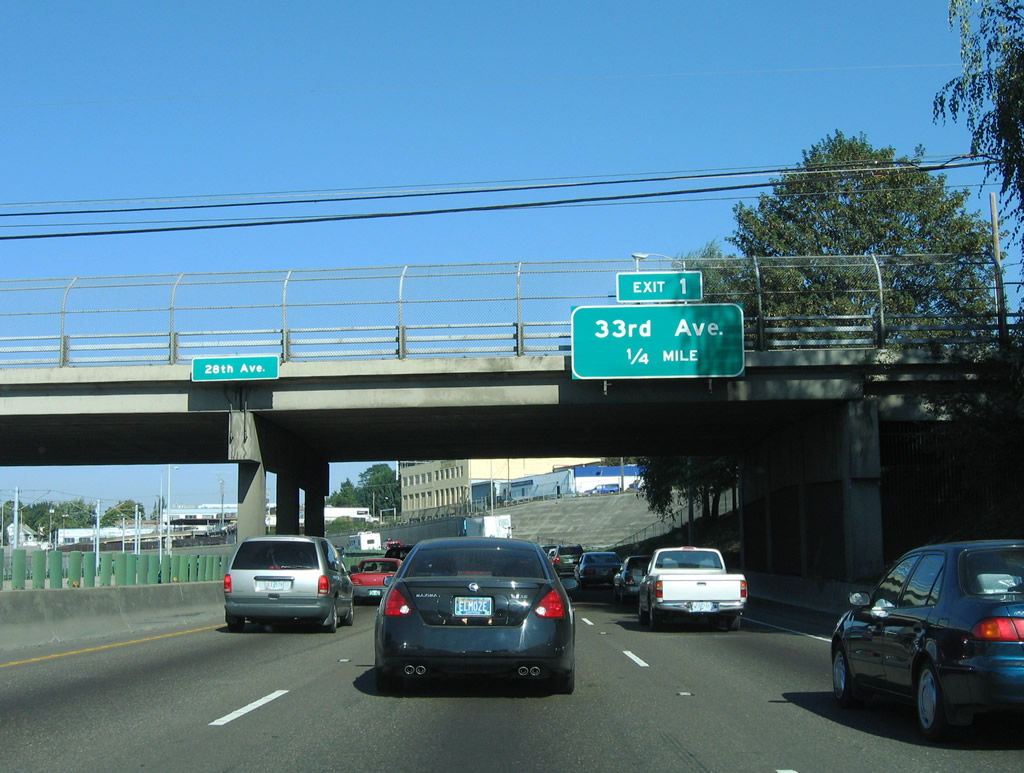
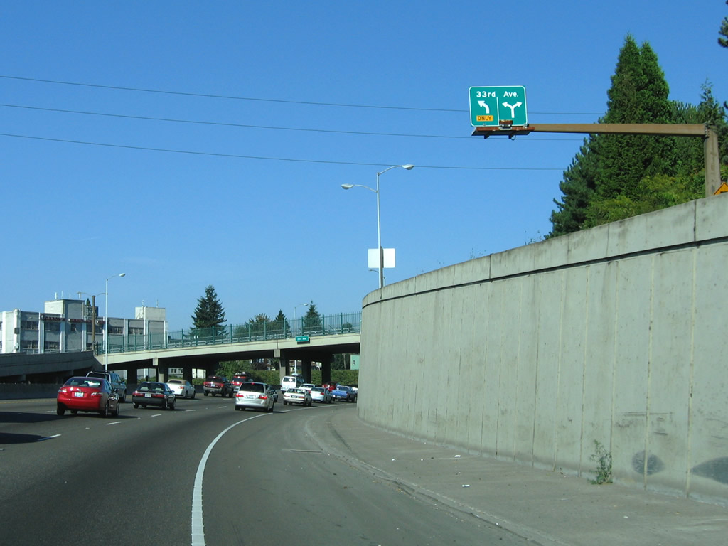
| I-84/U.S. 30 curve northeast from 28th Avenue to a half diamond interchange (Exit 1) with 33rd Avenue. Replaced by 2014, this overhead was removed altogether by 2018 with the installation of dynamic message signs. 08/27/06 |
|
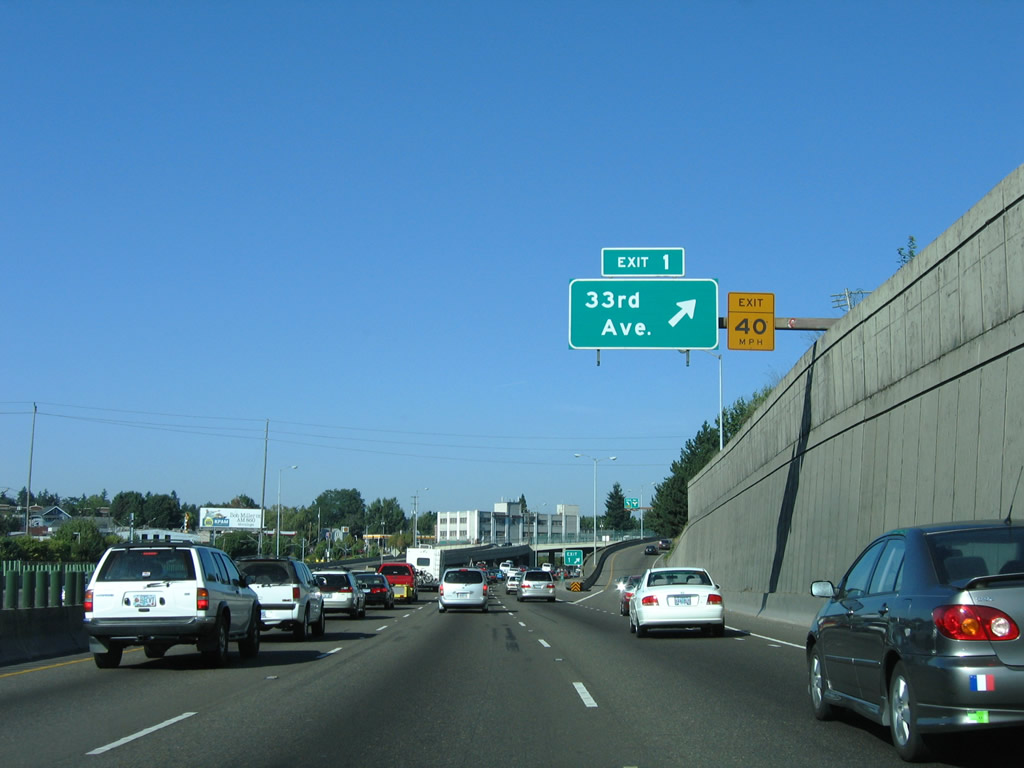
| 33rd Avenue runs north from Exit 1 to U.S. 30 Bypass southwest of Portland International Airport (PDX). 08/27/06 |
|
| South from Exit 1, 33rd Avenue transitions into 32nd Avenue by the Laurelhurst neighborhood. 08/27/06 |
|
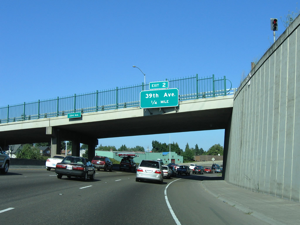
| I-84/U.S. 30 east quickly approach 39th Avenue (Exit 2) while still in the confines of the 33rd Avenue interchange. 08/27/06 |
|
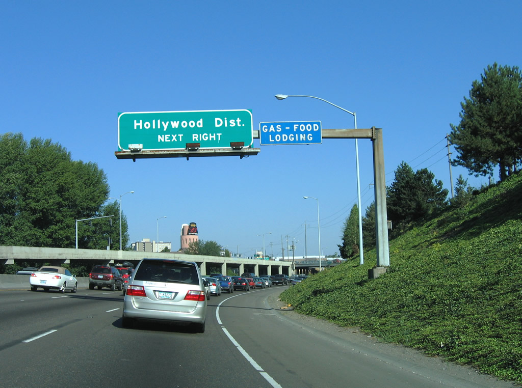
| The Hollywood District is a neighborhood in northeastern Portland. Primarily commercial and residential, the area was originally named Hollyrood but renamed to Hollywood in honor of its historic 1920's-era Hollywood Theatre.1 08/27/06 |
|
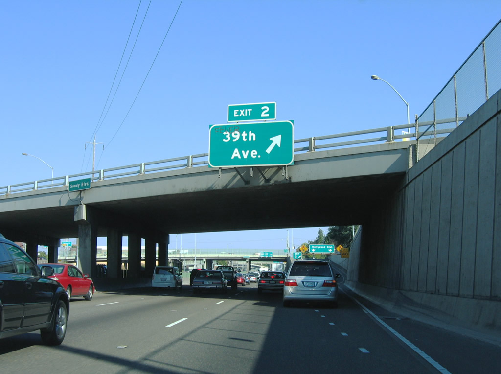
| Exit 2 to Cesar Chavez Boulevard parts ways from I-84/U.S. 30 east below Sandy Boulevard. Cesar Chavez Boulevard leads south to the Laurelhurst and Sunnyside neighborhoods. 08/27/06 |
|
| Cesar Chavez Boulevard (39th Avenue) extends north through the Hollywood District to 41st Avenue at the Beaumont - Wilshire neighborhood. 08/27/06 |
|
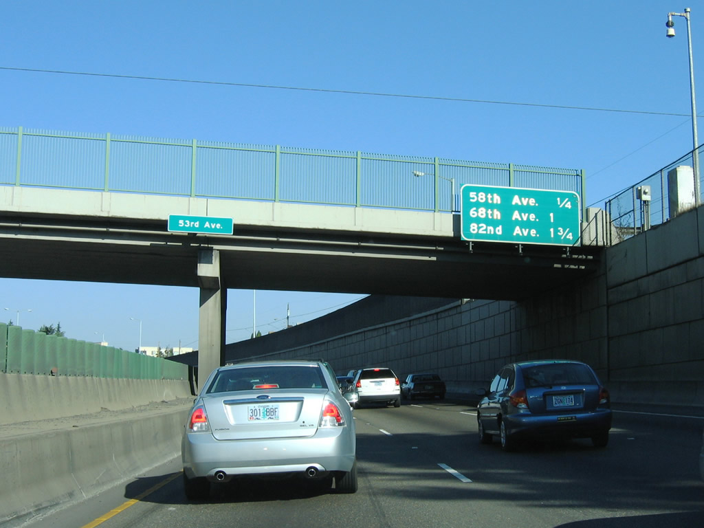
| I-84/U.S. 30 advance one mile east from Cesar Chavez Boulevard to Exit 3 for 58th Avenue. 08/27/06 |
|
| The wye interchange at Exit 3 links I-84/U.S. 30 east with parallel Glisan Street adjacent to 58th Avenue. 08/27/06 |
|
| I-84/U.S. 30 (Banfield Expressway) run between the Rose City Park and North Tabor neighborhoods on the ensuing stretch. 08/27/06 |
|
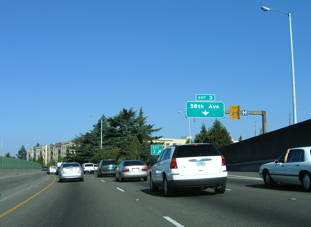
| Exit 3 leaves I-84/U.S. 30 east for adjacent Glisan Street. Nearby 60th Avenue leads south to the Mt. Tabor community. 08/27/06 |
|
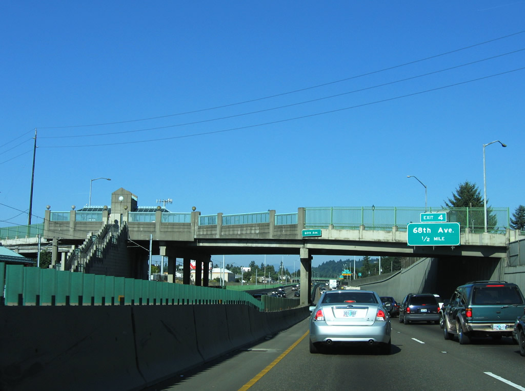
| A TriMet Max Station lines the north side of Interstate 84 at 60th Avenue. Exit 4 follows in a half mile. 08/27/06 |
|
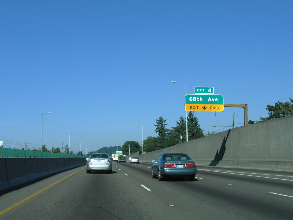
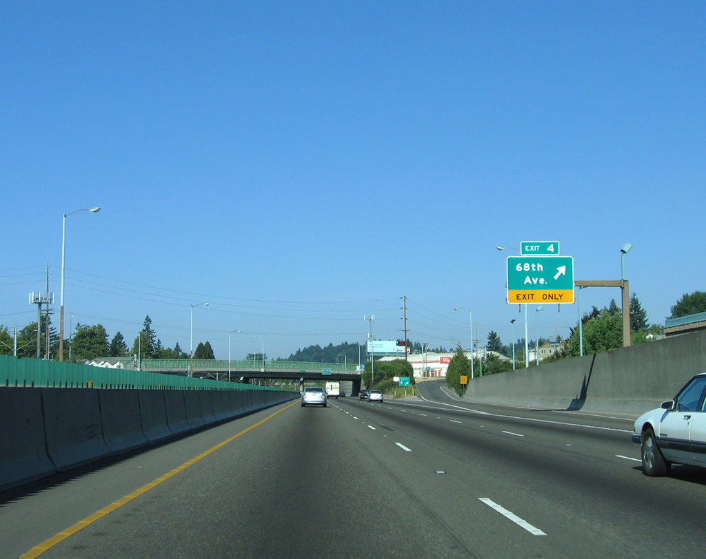
| The entrance ramp from Willow Street forms an auxiliary lane on I-84/U.S. 30 eastbound to Exit 4 for 68th Avenue at Halsey Street. 08/27/06 |
|
| Halsey Street crosses I-84/U.S. 30 at 68th Avenue. Continuing east through the Montavilla neighborhood, Halsey Street spans I-84 again ahead of Exit 5 into the Madison South community. 08/27/06 |
|
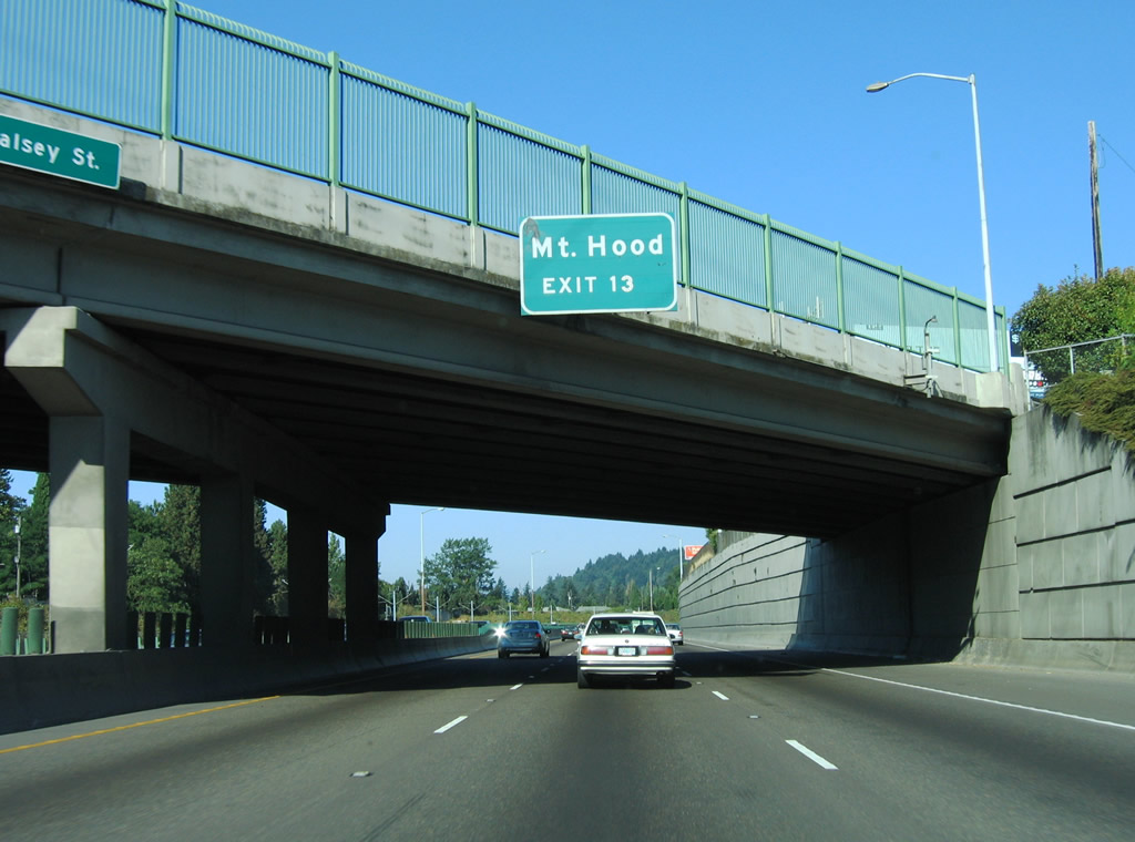
| The advance sign for Exit 13 to Mount Hood was removed from the Halsey Street overpass by 2007. The tallest peak in Oregon is located east of the greater Portland metro area. 08/27/06 |
|
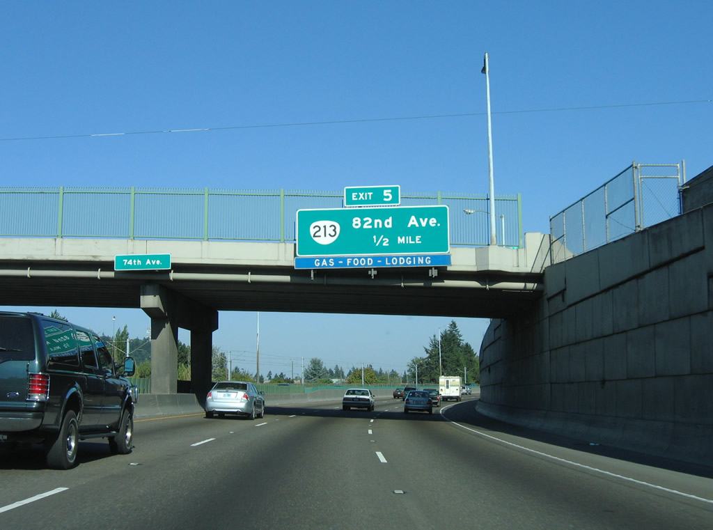
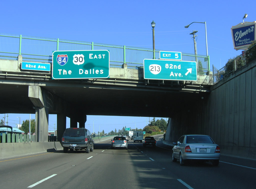
| Curving east around the Montavilla neighborhood, I-84/U.S. 30 next meet OR 213 (82nd Avenue) at Exit 5 in 0.5 miles. 08/27/06 |
|
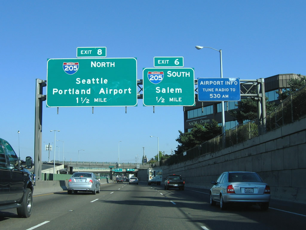
| Continuing below grade, I-84/U.S. 30 (Banfield Expressway) converge with Interstate 205 at Exit 6 in a half mile. The two freeways parallel one another northward to Exit 8. 08/27/06 |
|
| Also referenced as the Cascade Highway, OR 213 (82nd Avenue) stretches 55.8 miles from U.S. 30 Bypass near Portland International Airport (PDX) south to Clackamas, Silverton and Salem. Exit 5 links I-84 east with Multnomah Street west to OR 213. 08/27/06 |
|
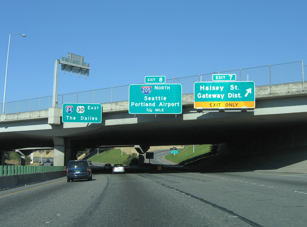
| Halsey Street meets I-84/U.S. 30 again at Exit 7 just beyond Interstate 205. 08/27/06 |
|
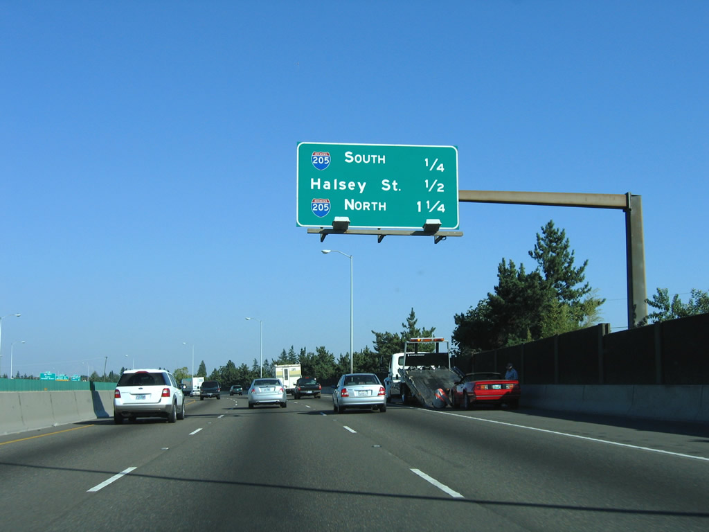
| Interstate 205 south connects I-84/U.S. 30 with I-5 in the vicinity of Rosewood, a southern suburb of Portland. Salem is located 54 miles to the southwest along the I-5 corridor. East from Exit 7, Halsey Street heads to the Gateway District in Portland. 08/27/06 |
|
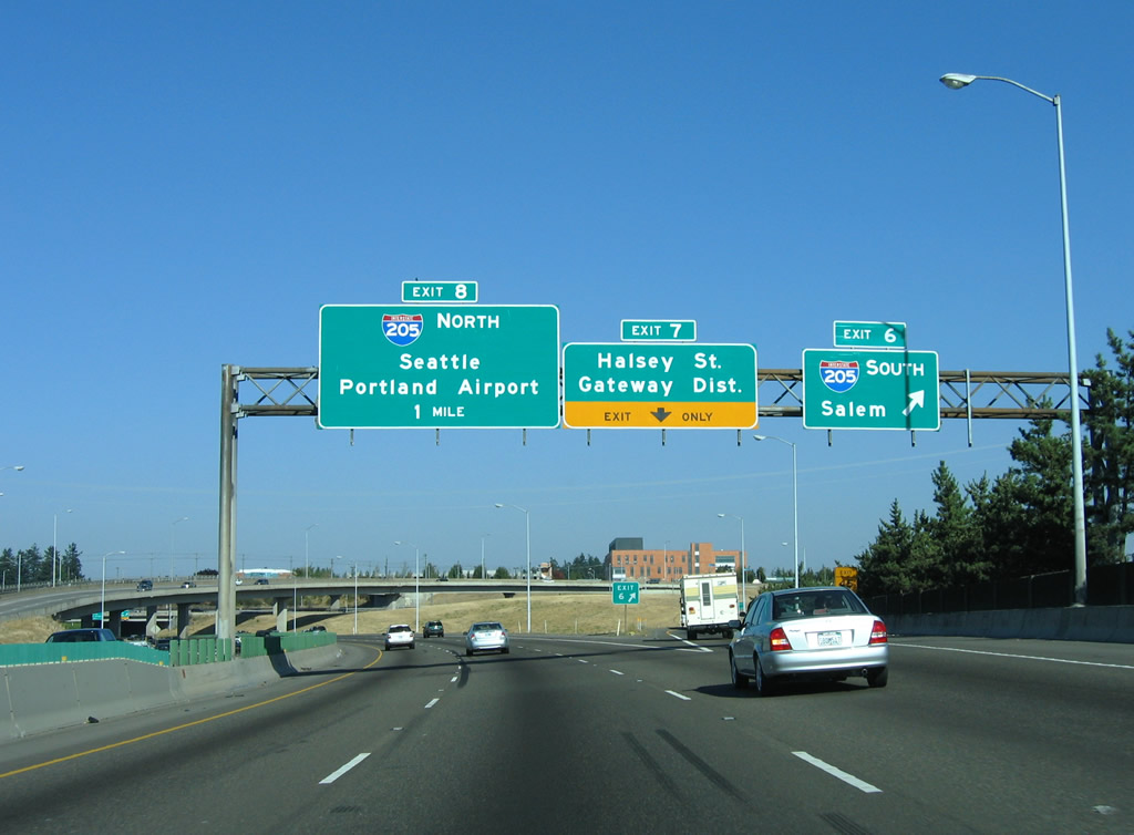
| I-84/U.S. 30 turn north to parallel Interstate 205 ahead of Exit 7 to Halsey Street. 08/27/06 |
|
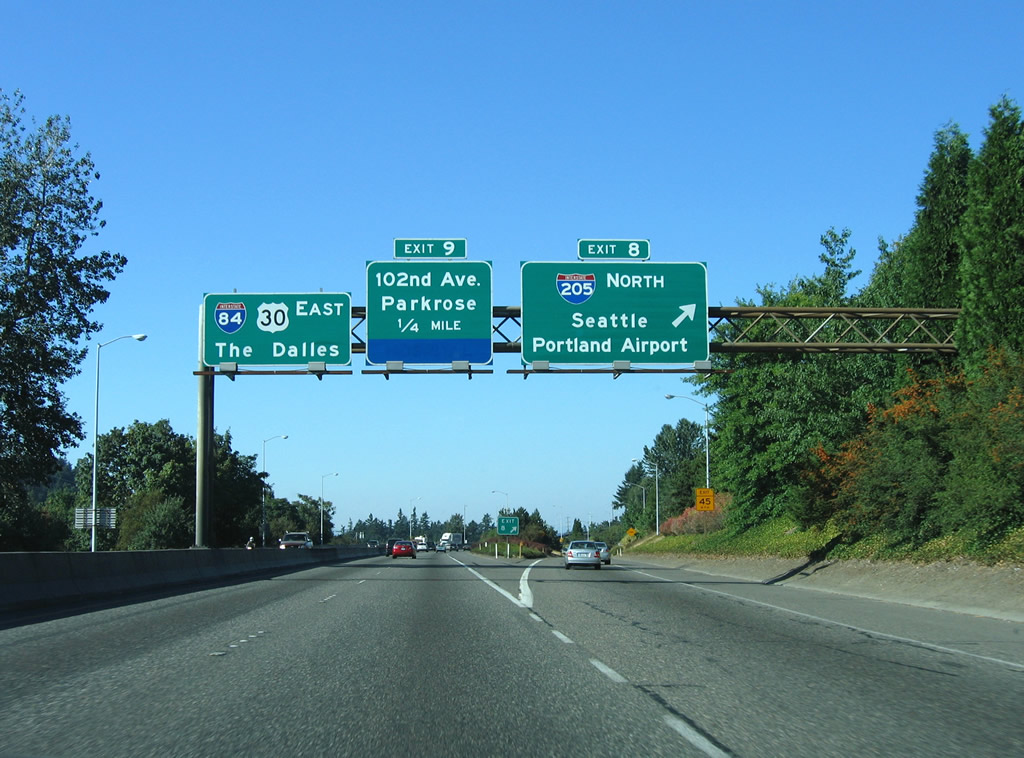
| Exit 8 connects with I-205 north toward Portland International Airport (PDX) and Seattle. I-205 reconvenes with Interstate 5 in the northern reaches of the Vancouver, Washington area. I-84 curves east to next meet 102nd Avenue in 0.25 miles. 08/27/06 |
|
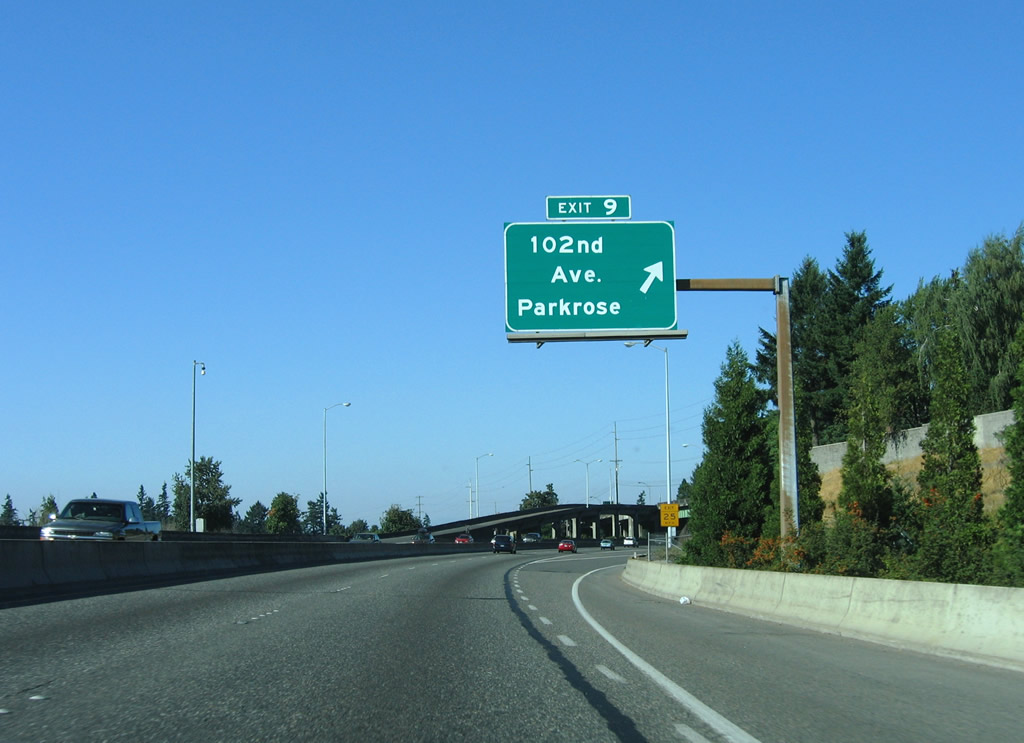
| 102nd Avenue runs parallel to Interstate 205 for its entire length. The Parkrose neighborhood lies to the south of I-84/U.S. 30 east. Exit 9 leads to 103rd Place for 102nd Avenue. 08/27/06 |
|
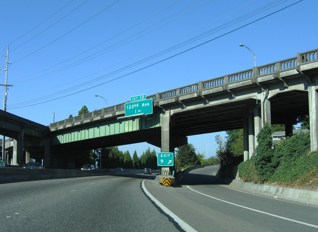
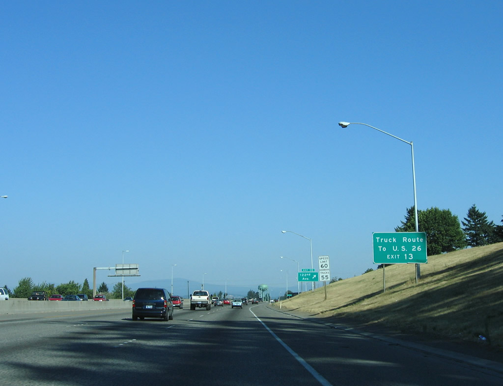
| Passing underneath the 102nd Avenue flyover, the freeway advances one mile east to Exit 10 for 122nd Avenue. 08/27/06 |
|
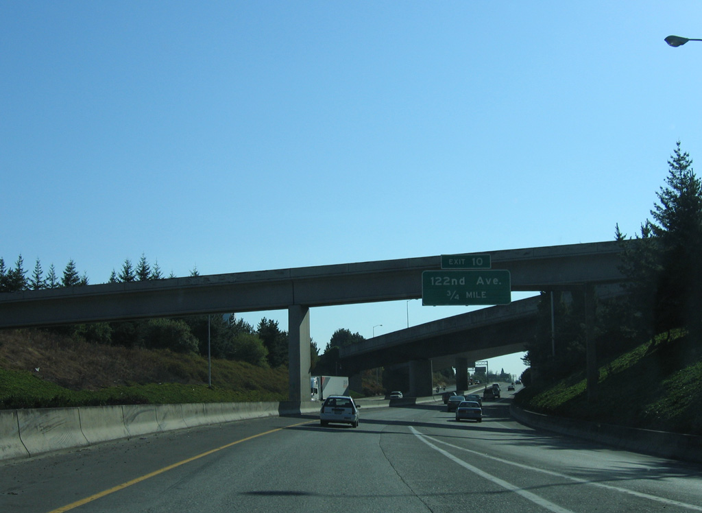
| Ramps from I-205 to eastbound I-84/U.S. 30 come together 0.75 miles ahead of Exit 10. 09/02/06 |
|
| Prior to 2010, NE 181st Avenue served as part of a truck route between Interstate 84 and U.S. 26 in the city of Gresham. 08/27/06 |
|
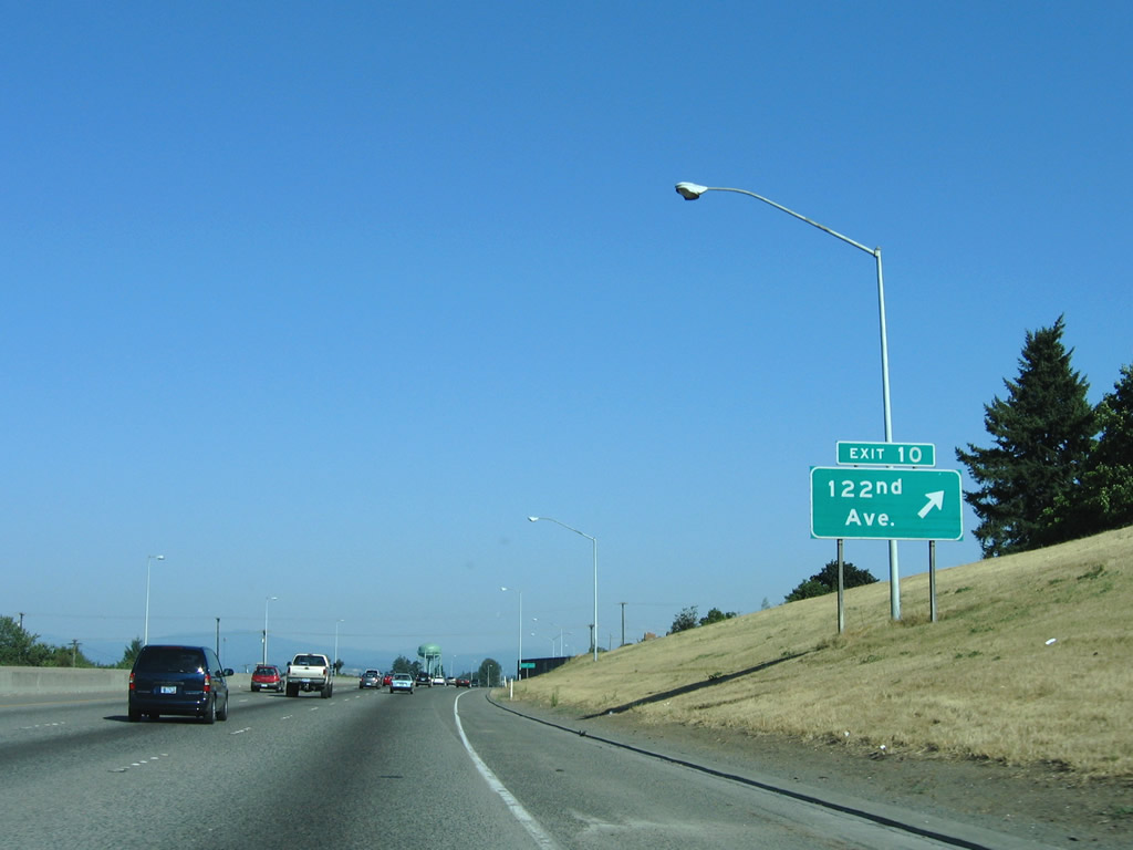
| I-84/U.S. 30 east at the loop ramp (Exit 10) to NE 122nd Avenue. NE 122nd Avenue extends south to the Hazelwood neighborhood and north to NE Marine Drive along the Columbia River. 08/27/06 |
|
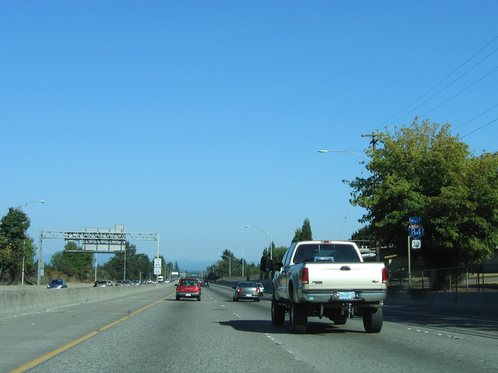
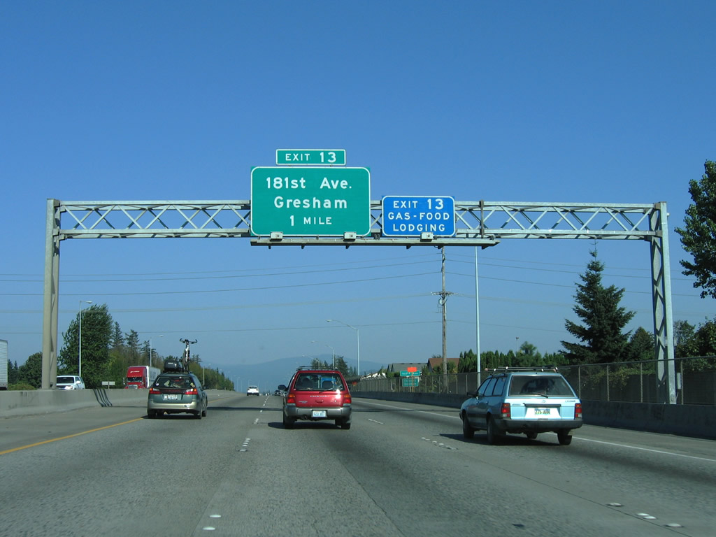
| Confirming markers posted after 122nd Avenue. Exit 13 to 181st Avenue follows in 2.5 miles. 08/27/06 |
|
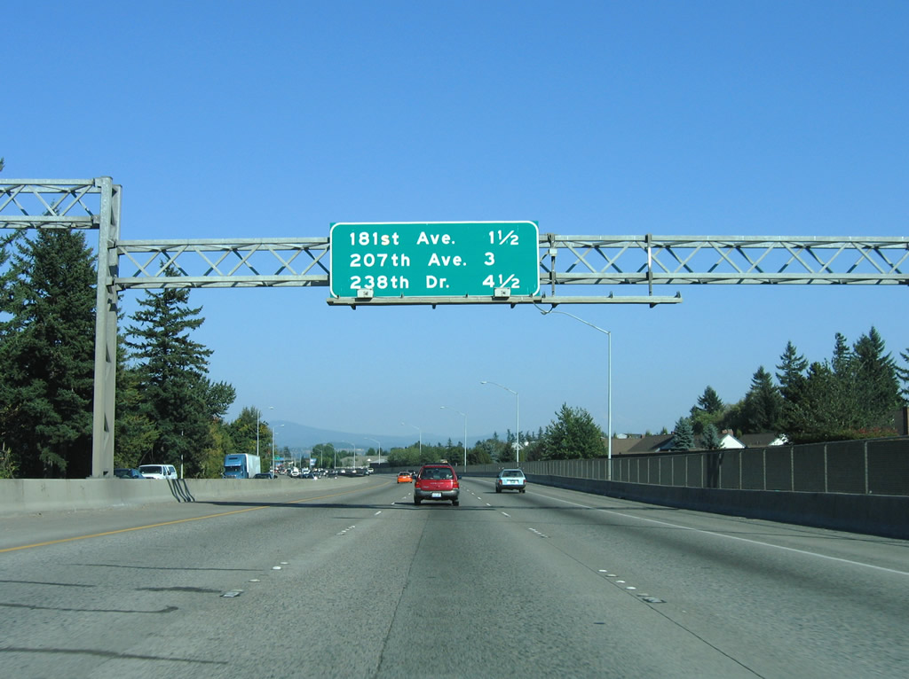
| Exits to Fairview and Wood Village at 207th Avenue and 238th Drive precede Troutdale along I-84/U.S. 30 east. 08/27/06 |
|
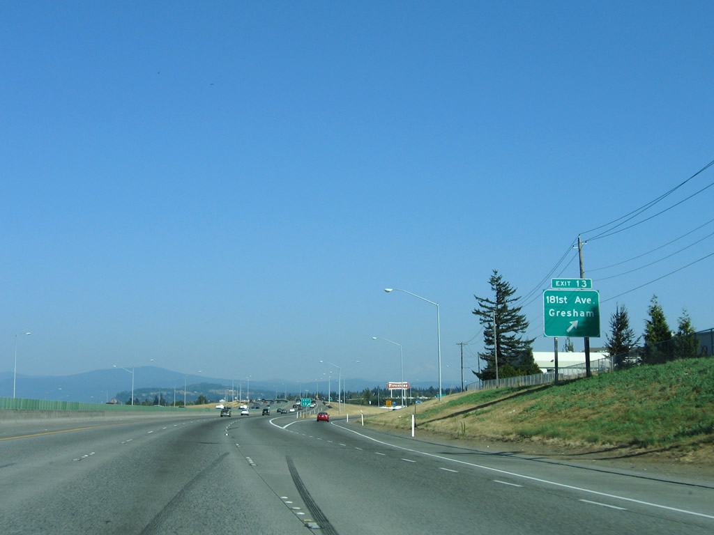
| 181st Avenue connects with Airport Way to the north of Exit 13. South of I-84, the arterial leads to the suburbs of Gresham (via Burnside Street), Rockwood and Centennial while linking to U.S. 26 for Mount Hood. 08/27/06 |
|
| The Cascade Mountains come into view from I-84/U.S. 30 at Exit 13 (181st Avenue). 08/27/06 |
|
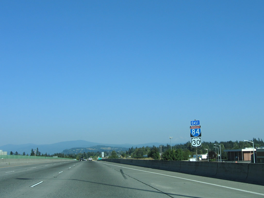
| I-84/U.S. 30 continue east toward Troutdale, the last Portland suburb, and The Dalles. 08/27/06 |
|
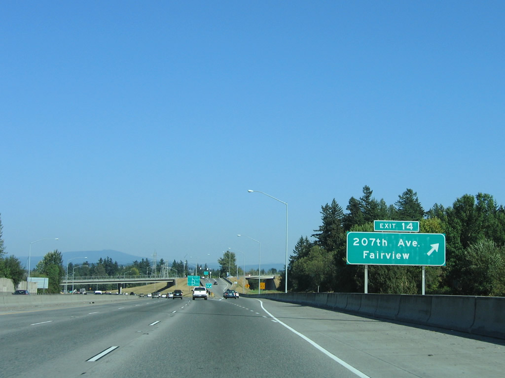
| Exit 14 to 207th Avenue connects Interstate 84 with the nearby suburb of Fairview. A name change took place after 2006 with 207th Avenue becoming Fairview Parkway. 08/27/06 |
|
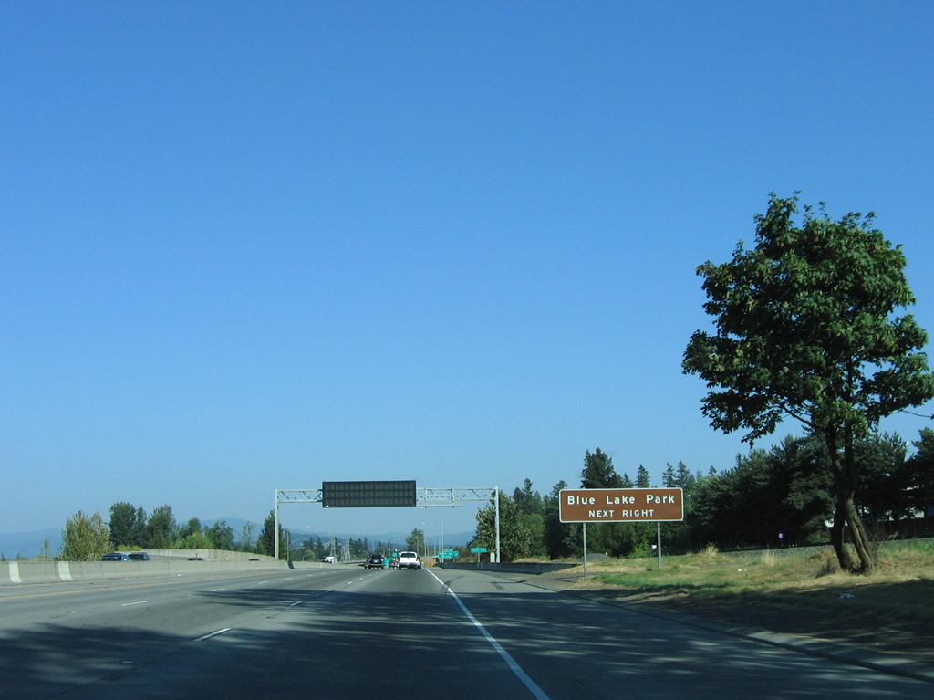
| Blue Lake Park lies between the freeway and Columbia River in northern Fairview. Fairview Parkway (207th Avenue) north, Sandy Boulevard east and 223rd Avenue north connect I-84 with the park. 08/27/06 |
|
| Fairway Parkway (207th Avenue) south intersects Halsey Street before concluding at Gilsan Street between Salish Ponds City Park and Fairview Community Park. 08/27/06 |
|
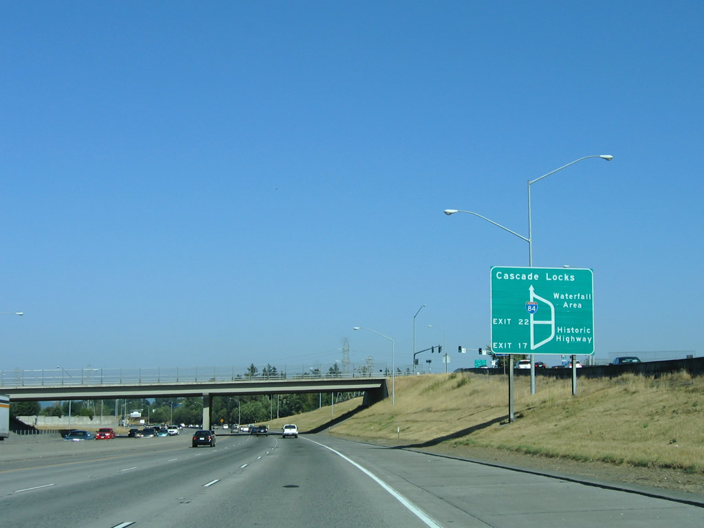
| A diagrammatic sign shows the separation with Historic Columbia River Highway at Exit 17. The scenic route travels through several state parks and across a portion of the Cascades before rejoining I-84/U.S. 30 east at Exit 35. A wye interchange joins the freeway with Cascade Locks at Exit 44. 08/27/06 |
|
| Continuing toward the base of the Cascade Mountain range, I-84/U.S. 30 proceed east to Wood Village and Troutdale. 08/27/06 |
|
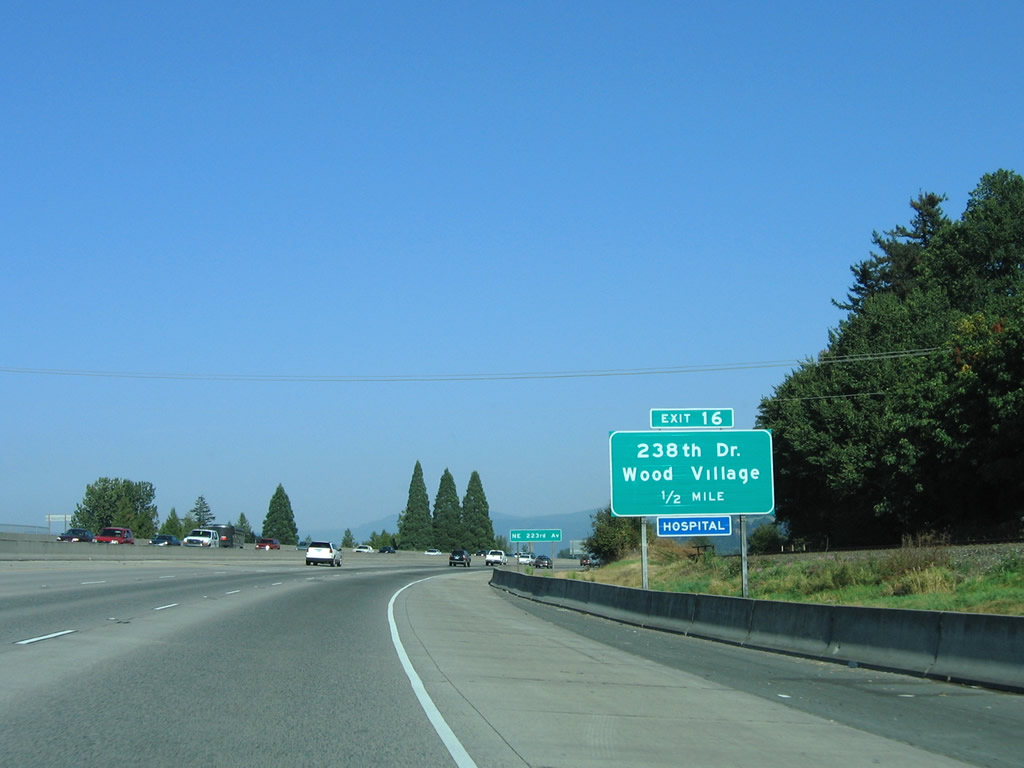
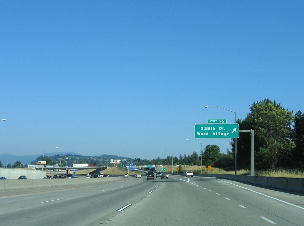
| Wood Village spreads just south of the freeway at Exit 16 / 238th Drive. 08/27/06 |
|
| 238th Drive south provides an alternate route toward Mount Hood by connecting with Burnside Road and U.S. 26 in Gresham. 08/27/06 |
|
| 238th Drive ties into Sandy Boulevard north beyond the diamond interchange at Exit 16. 08/27/06 |
|
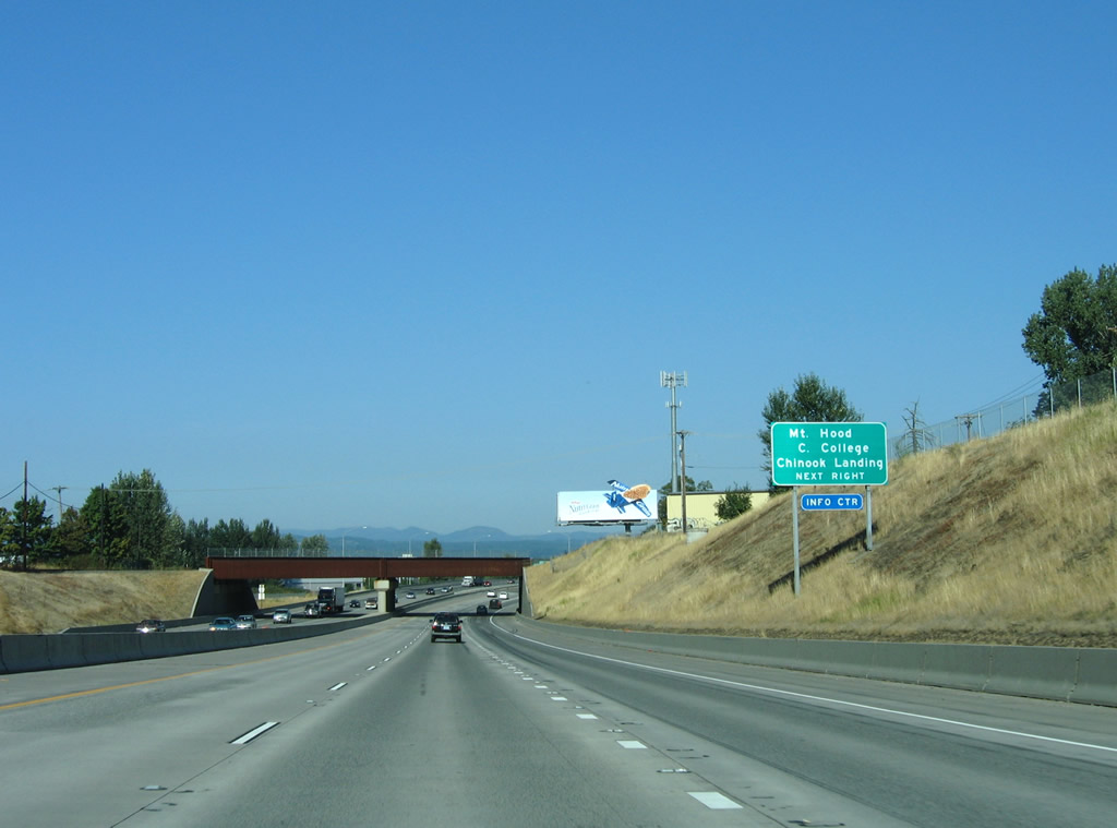
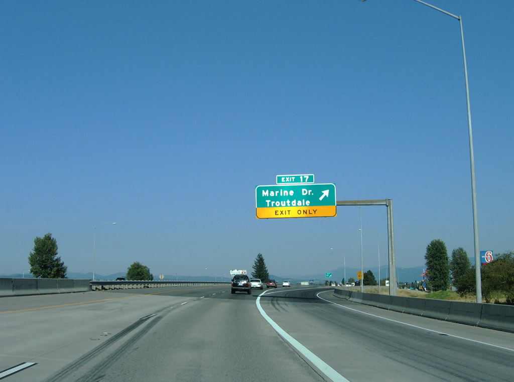
| A split diamond interchange (Exit 17) with frontage roads connect I-84/U.S. 30 with Marine Drive west and SW 257th Drive south to Troutdale. 08/27/06 |
|
| SW 257th Drive extends south through central Troutdale to Mount Hood Community College while Chinook Landing Marine Park is located north of a diamond interchange between NE Marine Drive and NE 223rd Avenue. 08/27/06 |
|
| Marine Drive angles northwest from Exit 17 and Troutdale Airport (TTD) to follow the Columbia River to OR 99E and I-5 in the Bridgeton neighborhood of Portland. 08/27/06 |
|
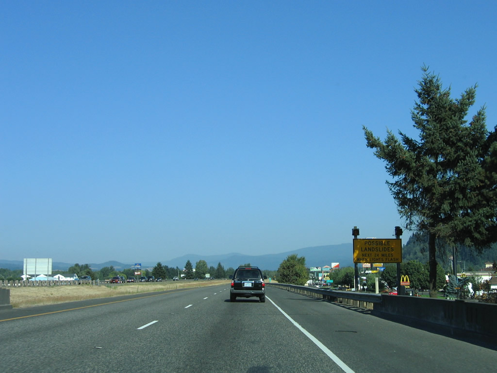
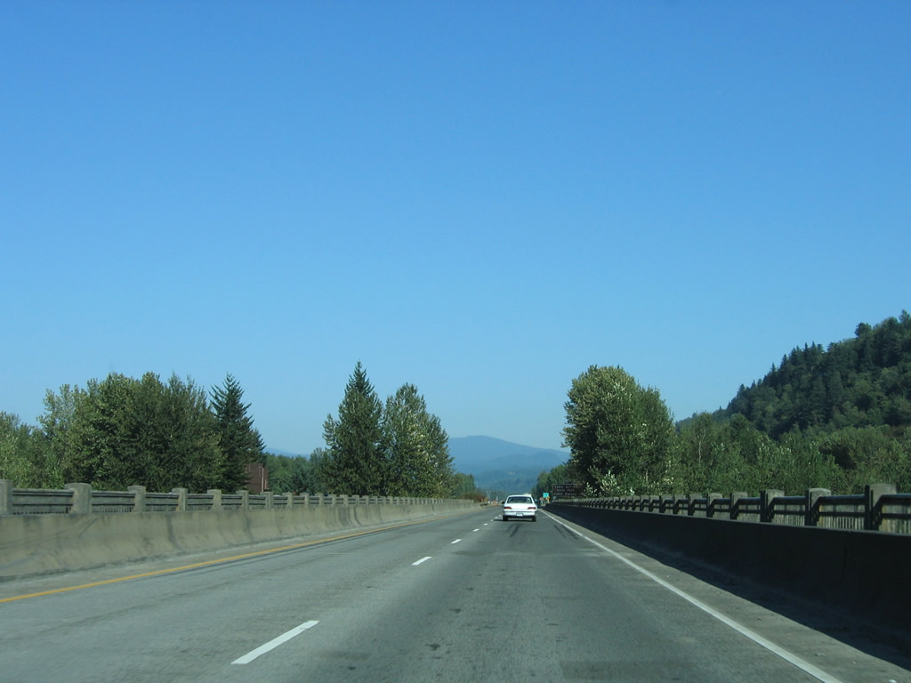
| Due to the close proximity of I-84 to the base of the Cascade Mountains, landslides may occur during heavy rain events. 08/27/06 |
|
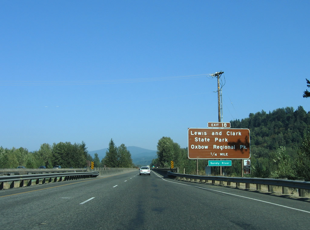
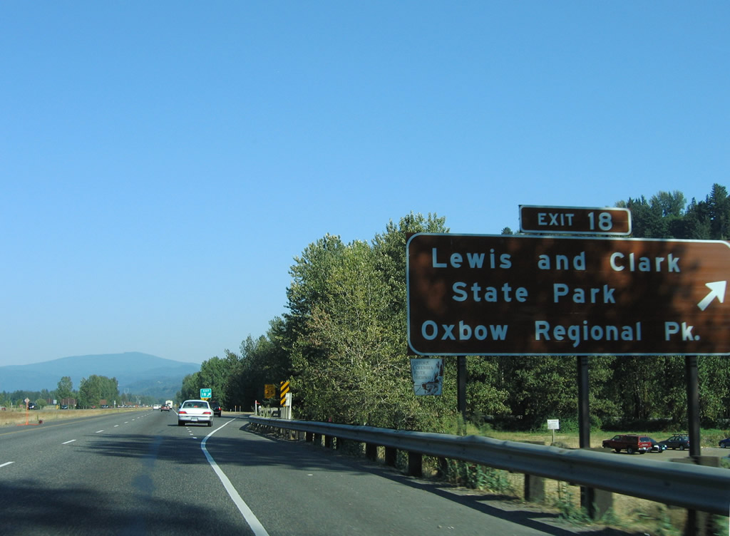
| Exit 18 joins I-84/U.S. 30 with Lewis and Clark State Park and Historic U.S. 30 (Historic Columbia River Highway) to Springdale. Oxbow Regional Park is located southeast of Springdale along the Sandy River. 08/27/06 |
|
| Originating from near Mount Hood, Sandy River flows northwestward 56 miles before dumping into the Columbia River west of Sandy River Delta Park. 08/27/06 |
|
| A loop ramp joins I-84/U.S. 30 with Crown Point Highway south to Historic U.S. 30. Sandy River Delta Park lies just north of the exchange. 08/27/06 |
|
| Scenery along I-84/U.S. 30 east becomes rural as the freeway leaves the greater Portland area behind. 08/27/06 |
|
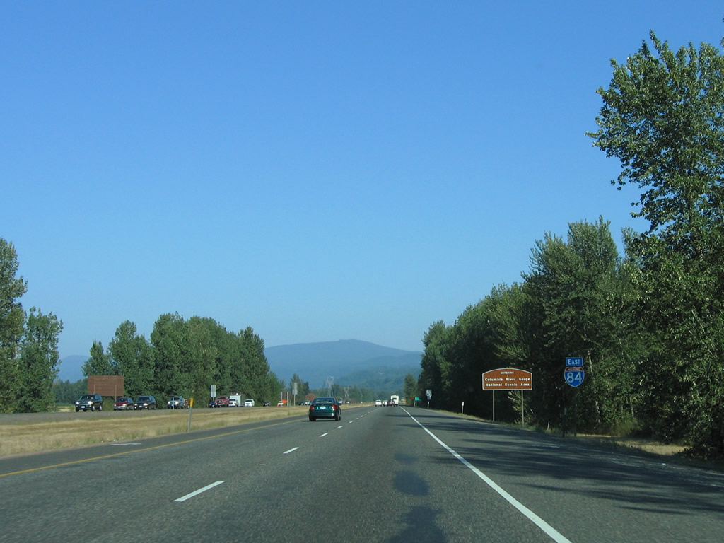
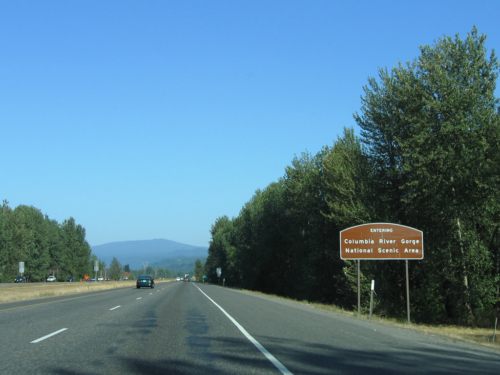
| I-84/U.S. 30 enters Columbia River Gorge National Scenic Area following Crown Point Highway (Exit 18). The 80 mile long recreation area along the Columbia River includes hiking, biking and whitewater rafting among other outdoor activities. 08/27/06 |
|
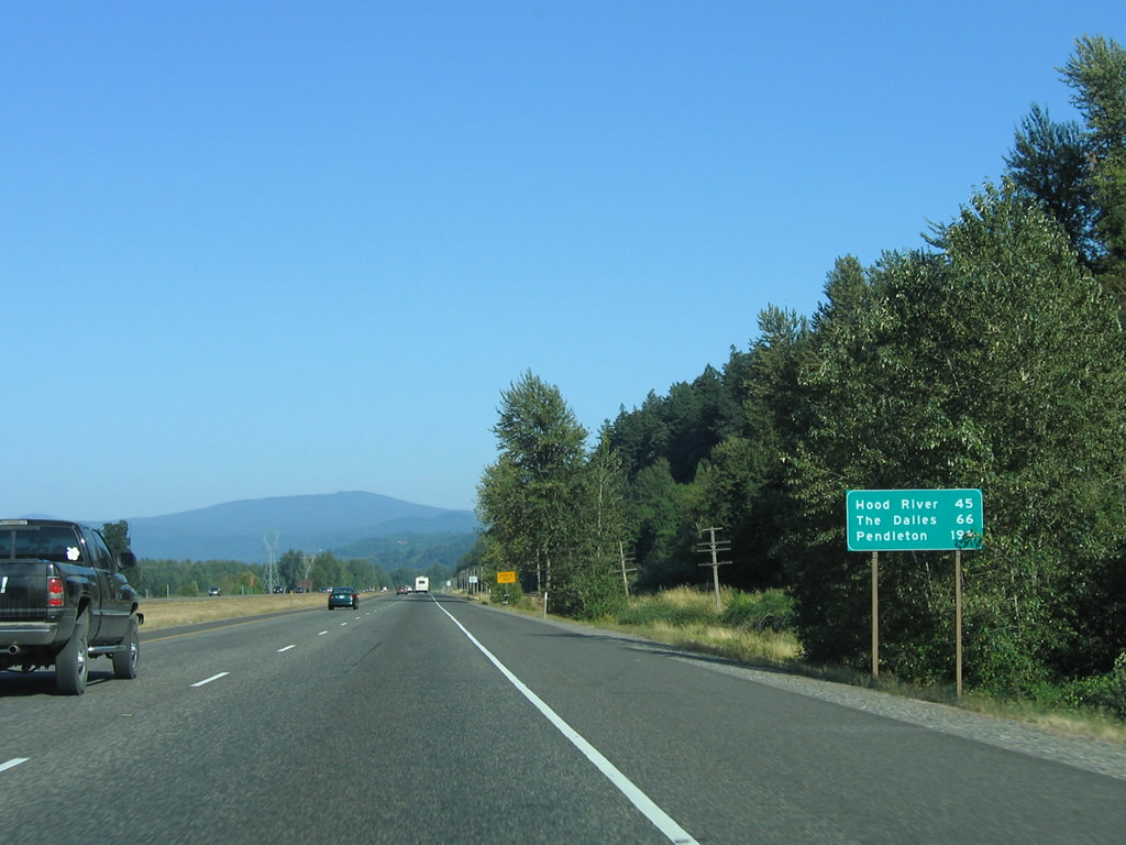
| The first distance sign for Hood River (45 miles) and The Dalles (66 miles) on I-84 east since the assembly once posted before Exit 1 near Downtown Portland. 08/27/06 |
|
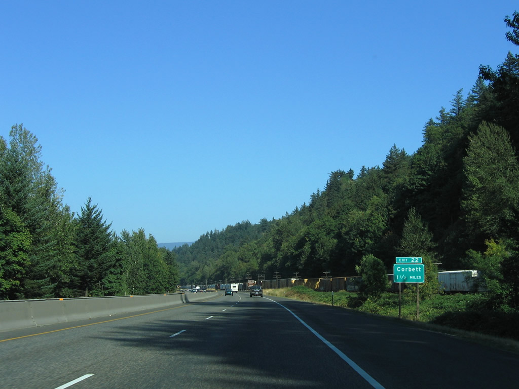
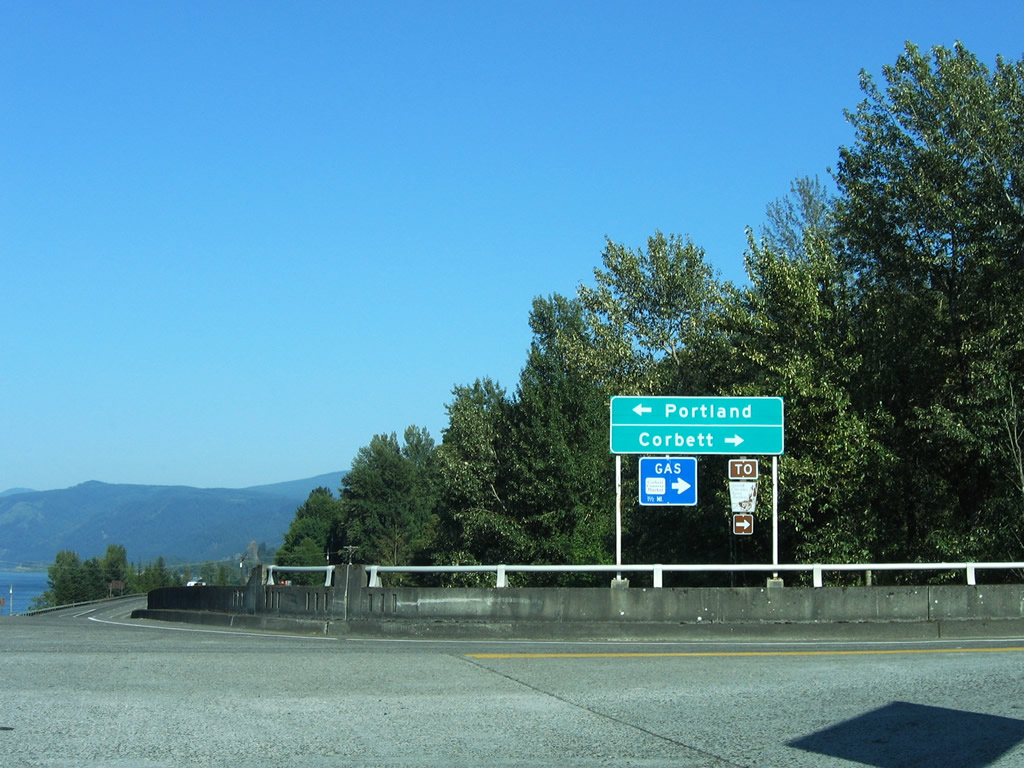
| Exit 22 joins I-84/U.S. 30 east with Corbett Hill Road to Corbett in 1.5 miles. 08/27/06 |
|
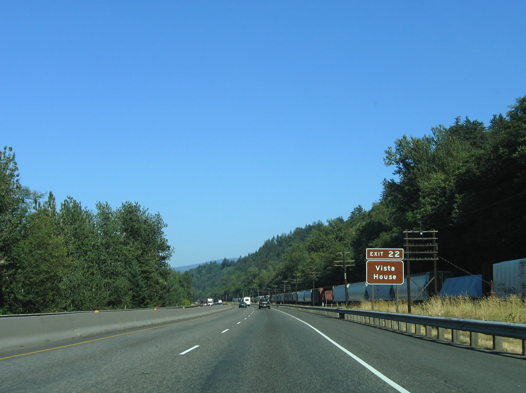
| The Vista House is located along Historic Columbia River Highway (Historic U.S. 30) 2.8 miles east of Corbett. Built in 1917 both as a rest stop for weary travelers and as a beacon for those who built the adjacent Columbia River Highway, the house atop Crown Point overlooks the Columbia River valley.2 08/27/06 |
|
| Corbett Hill Road winds 1.4 miles south from Exit 22 to Corbett and Historic Columbia River Highway (Historic U.S. 30). 08/27/06 |
Page Updated 02-27-2013.


 East
East