
 East
East  North
North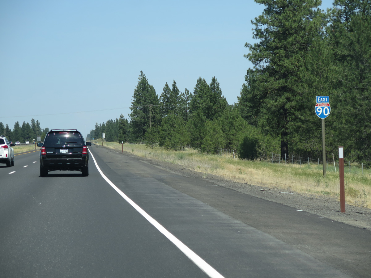
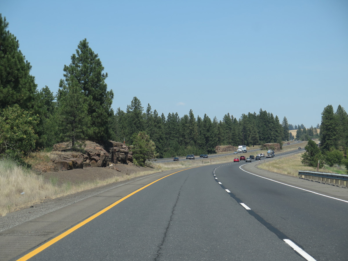
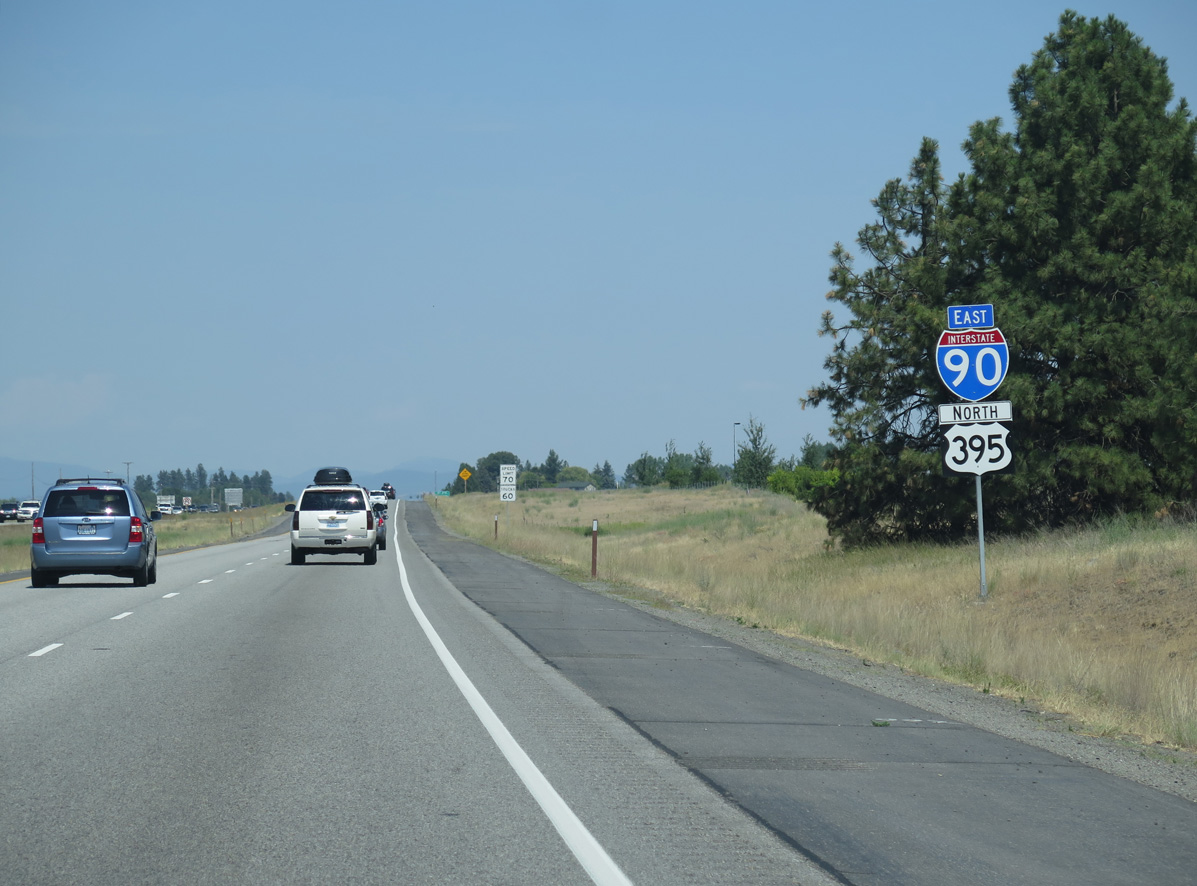
I-90/U.S. 395 bee line northeast from SR 904 / Exit 257 to SR 902 / Exit 264.
06/28/15
06/28/15
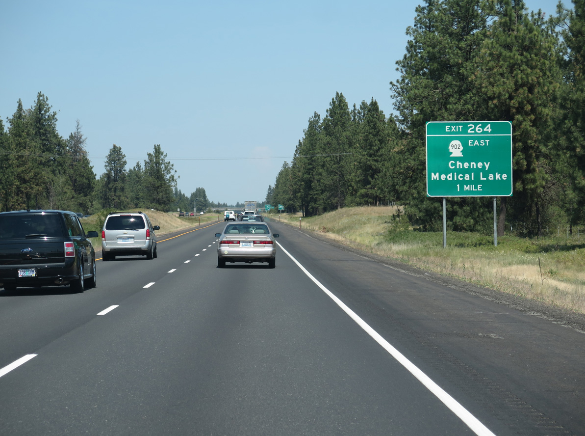
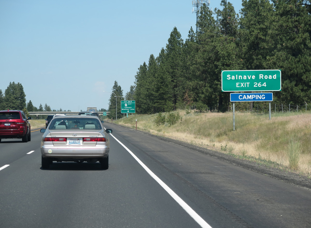
SR 902 east and Salnave Road west come together at Exit 264 along I-90/U.S. 395, south of Clear Lake.
06/28/15
Salnave Road runs 5.8 miles east from SR 902 at Exit 264 to SR 904 (W 1st Street) in the city of Cheney.
06/28/15
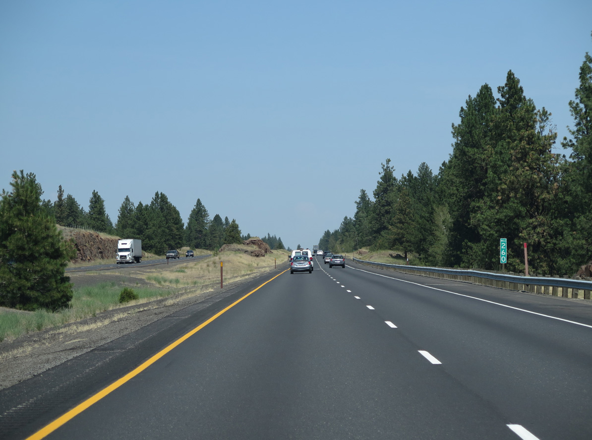
A 5.8 mile long exit less stretch leads I-90/U.S. 395 northeast past Big Swamp.
06/28/15
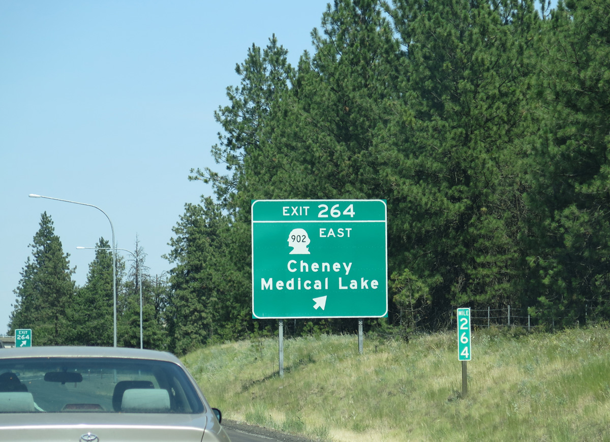
Like SR 904 to the east, SR 902 constitutes a loop from Interstate 90, traveling 12.36 miles north from the diamond interchange at Exit 264 through Medical Lake to Exit 272.
06/28/15
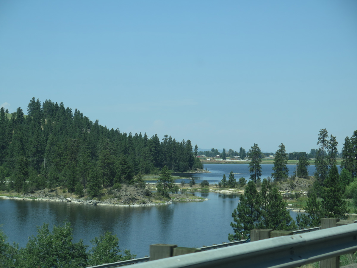
Interstate 90 runs along the east side of Granite Lake, where rest areas were formerly located.
06/28/15
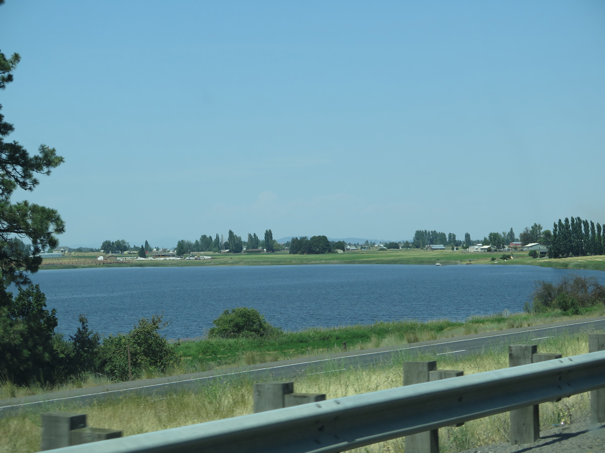
Willow Lake appears north of I-90/U.S. 395. Wrights Hill rises to the south of the freeway.
06/28/15
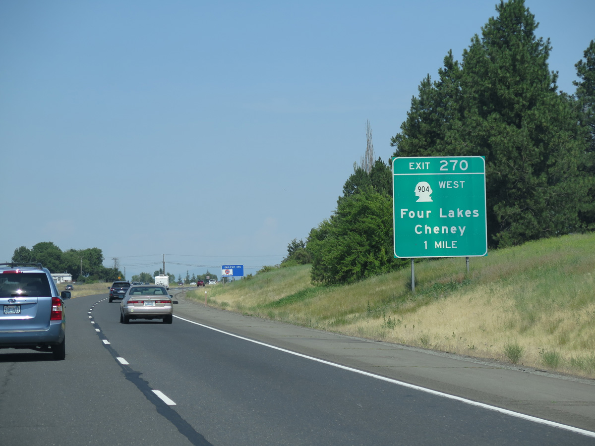
SR 904 heads six miles north from Cheney between Wrights Hill and Needham Hill to I-90/U.S. 395 at the community of Four Lakes.
06/28/15
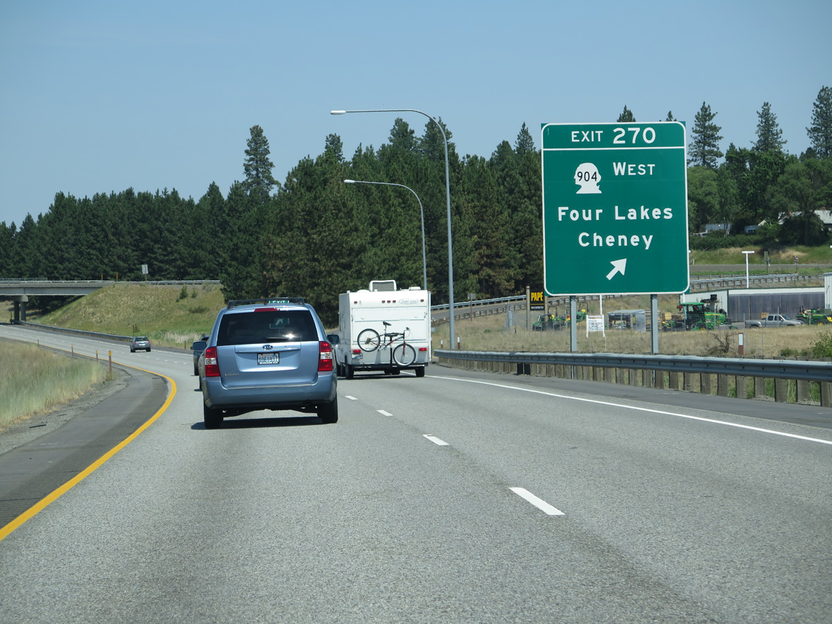
A trumpet interchange (Exit 270) joins I-90/U.S. 395 east with SR 904 west at Four Lakes. The freeway again overlays old U.S. 10/395 from Four Lakes northeastward.
06/28/15
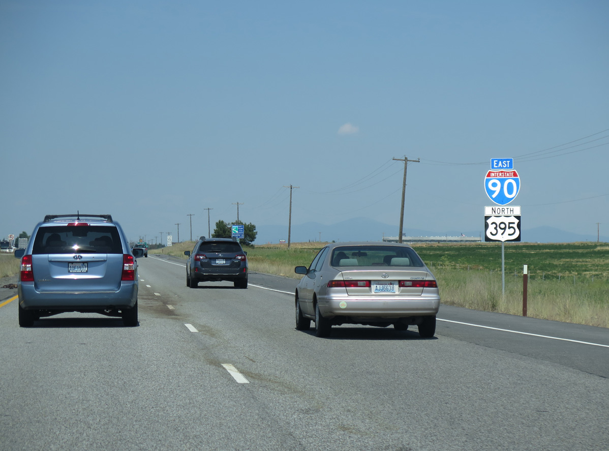
Confirming markers posted along I-90/U.S. 395 north of Needham Hill.
06/28/15
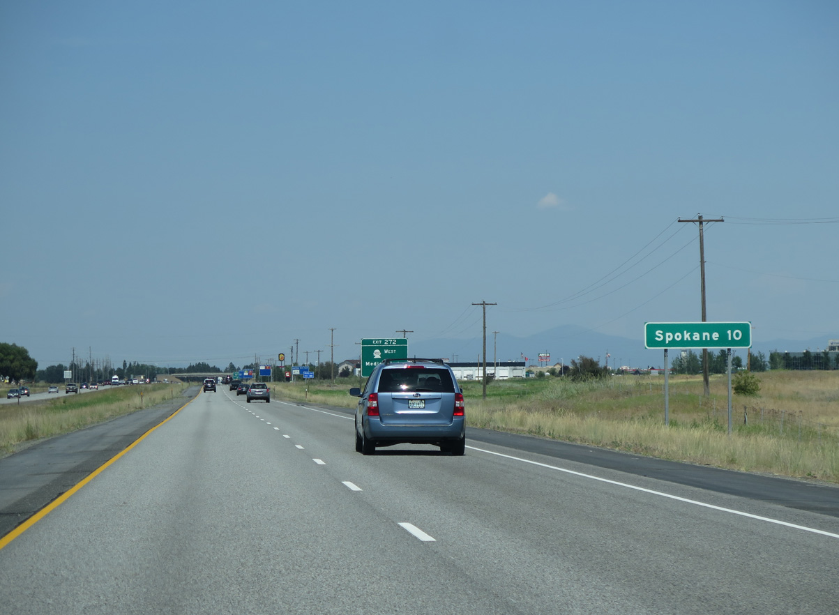
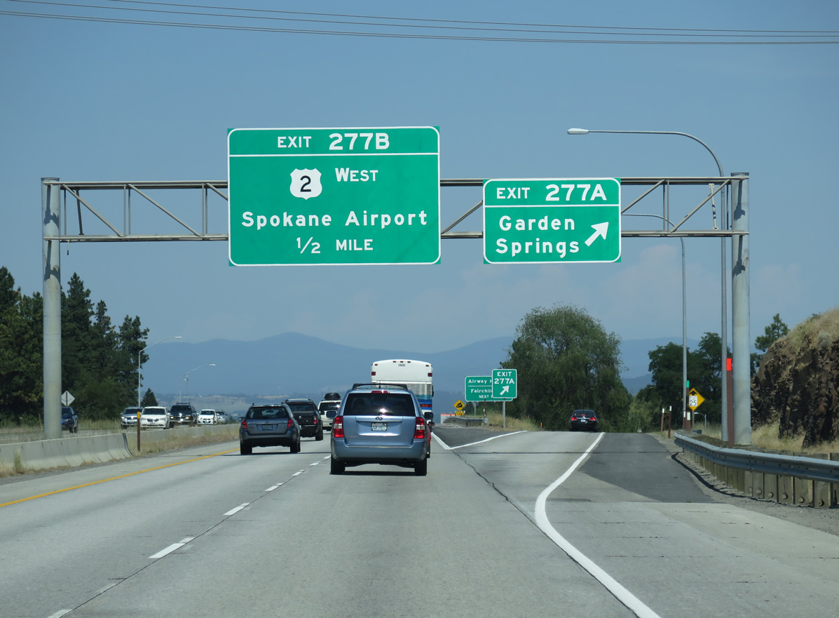
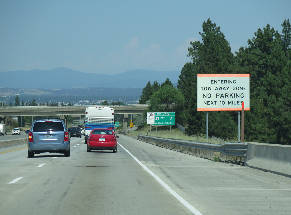
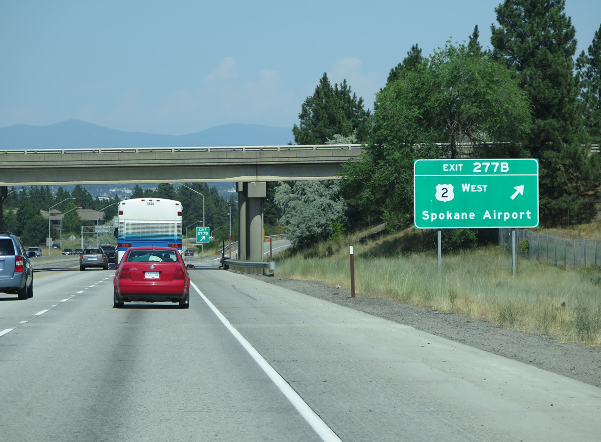
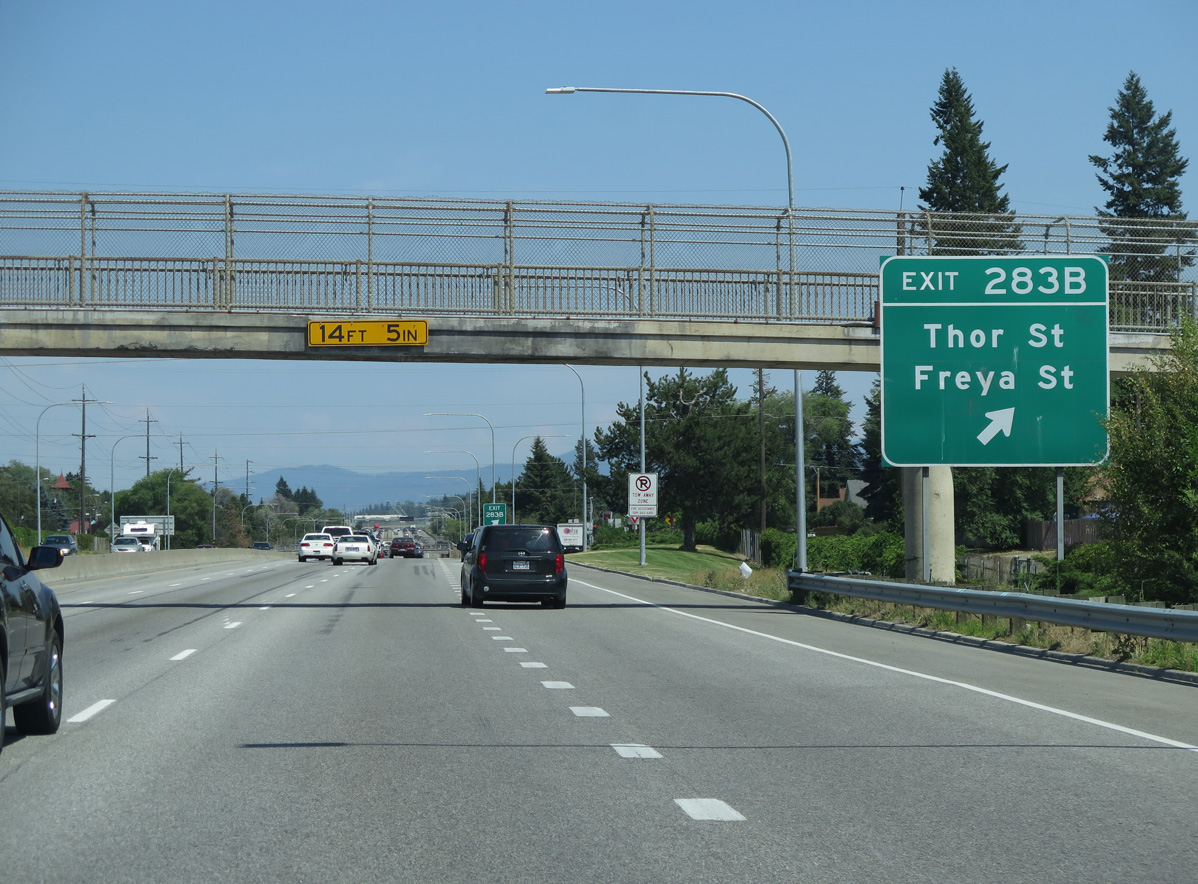
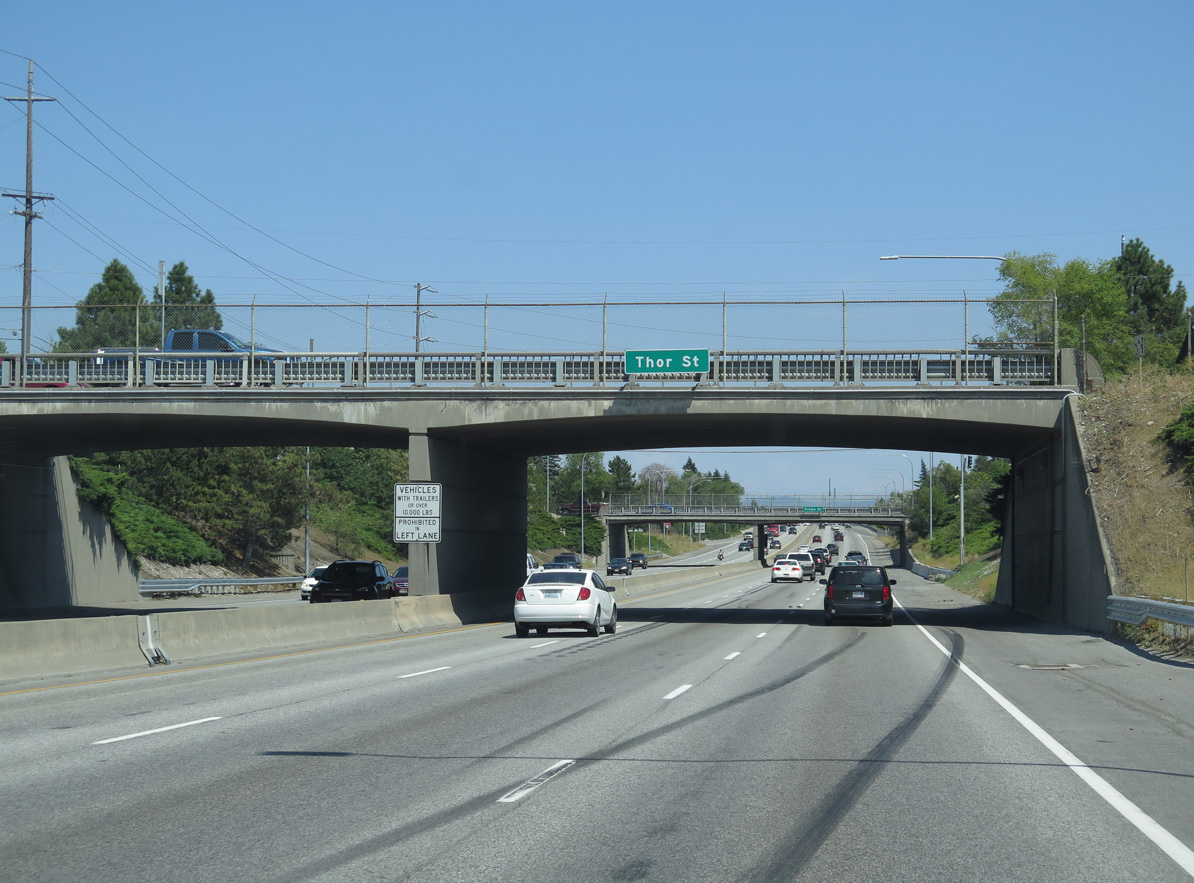
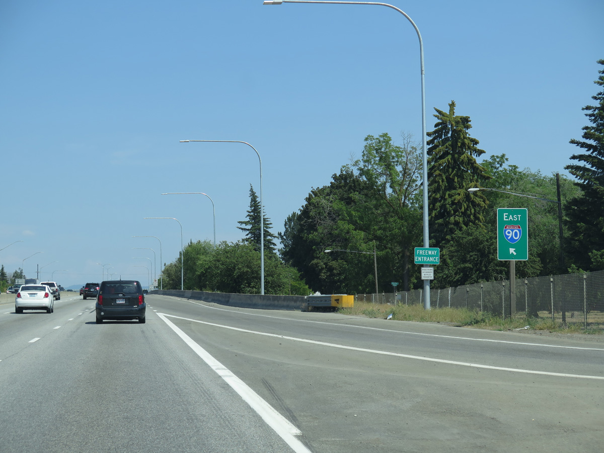
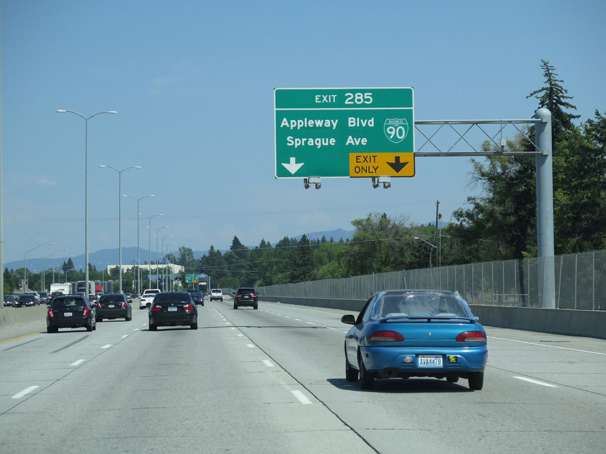
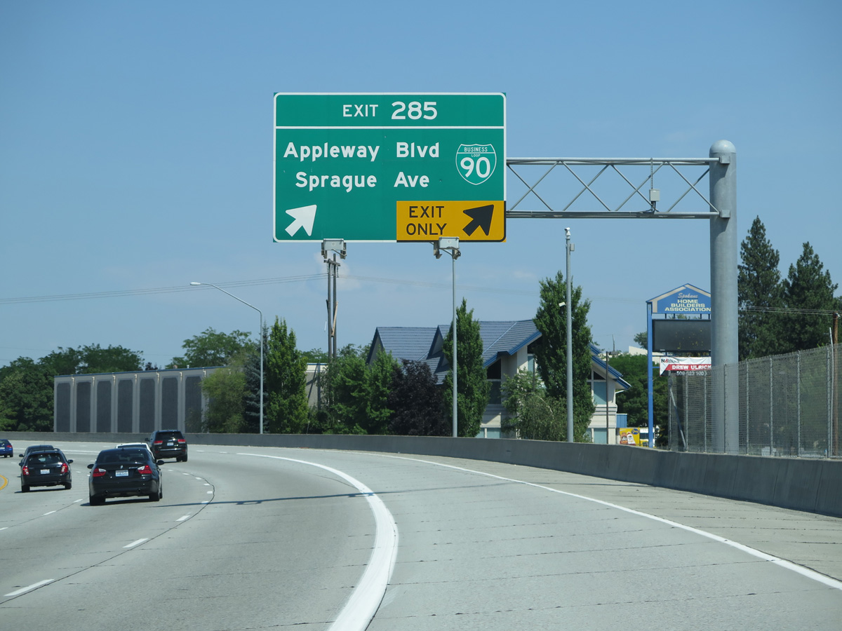
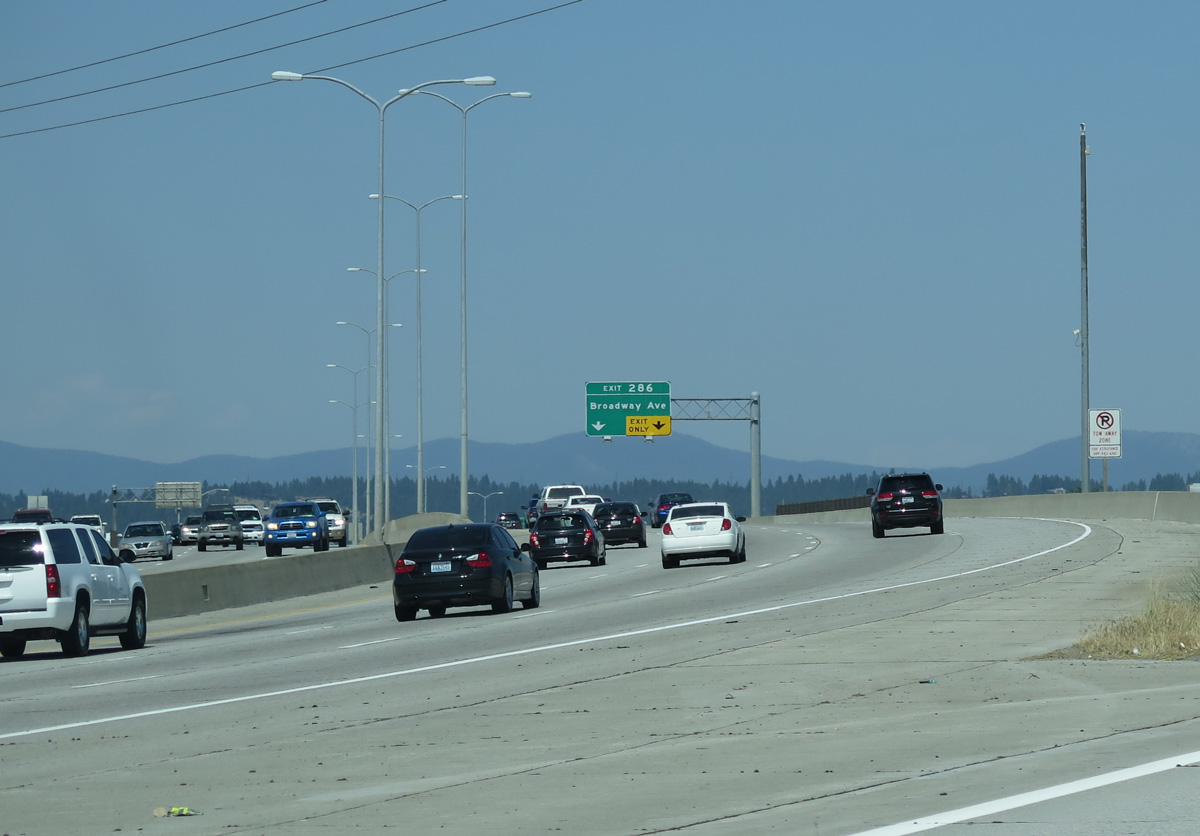
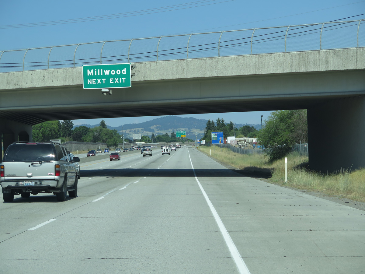
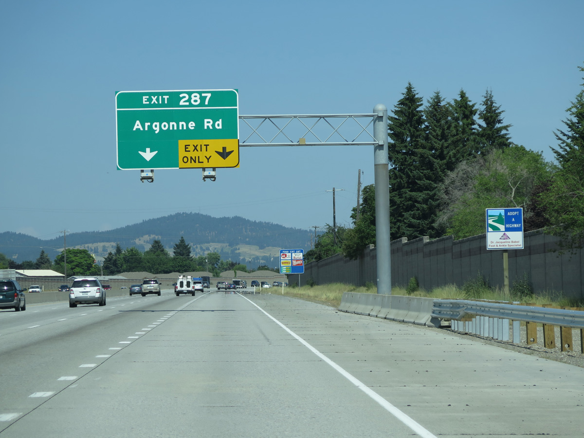
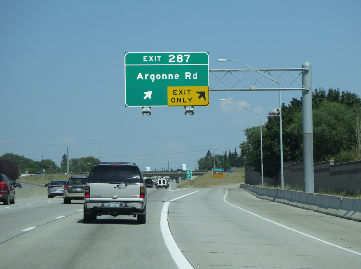
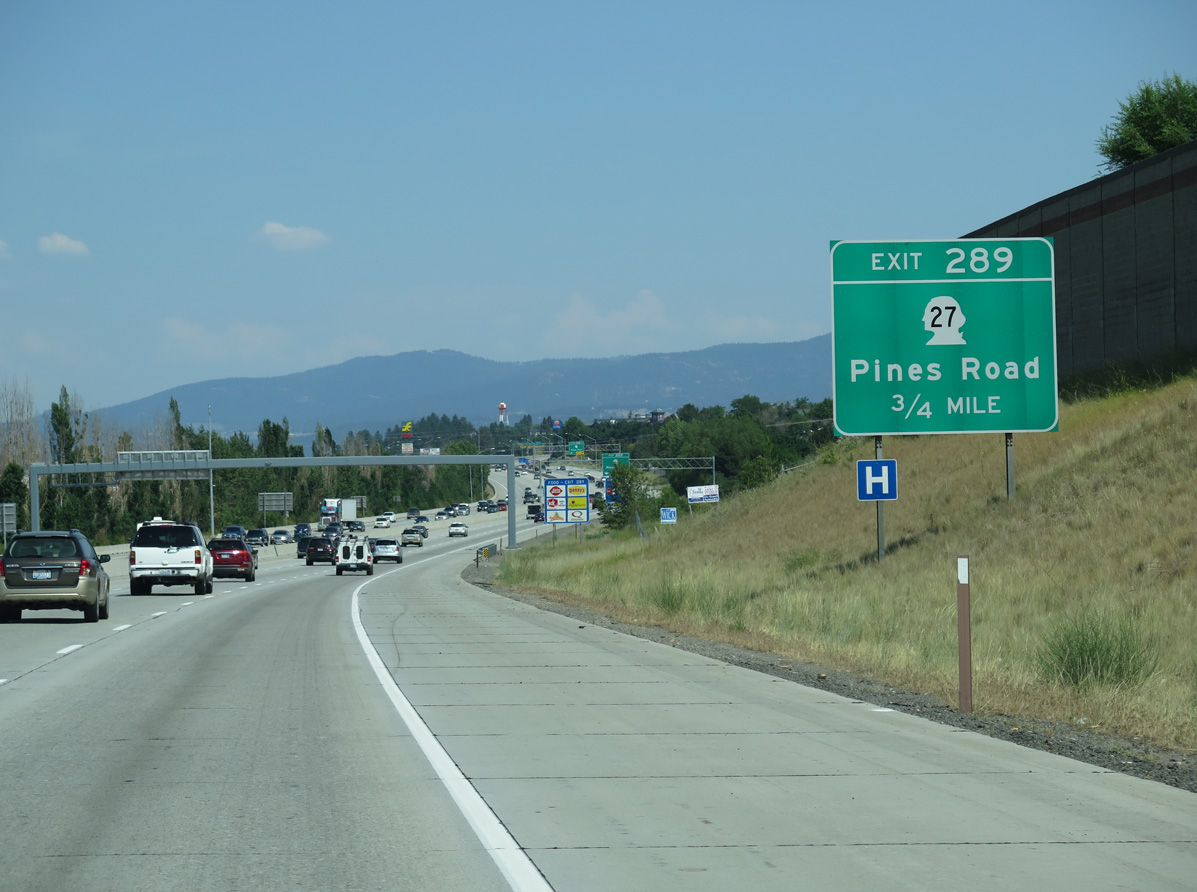
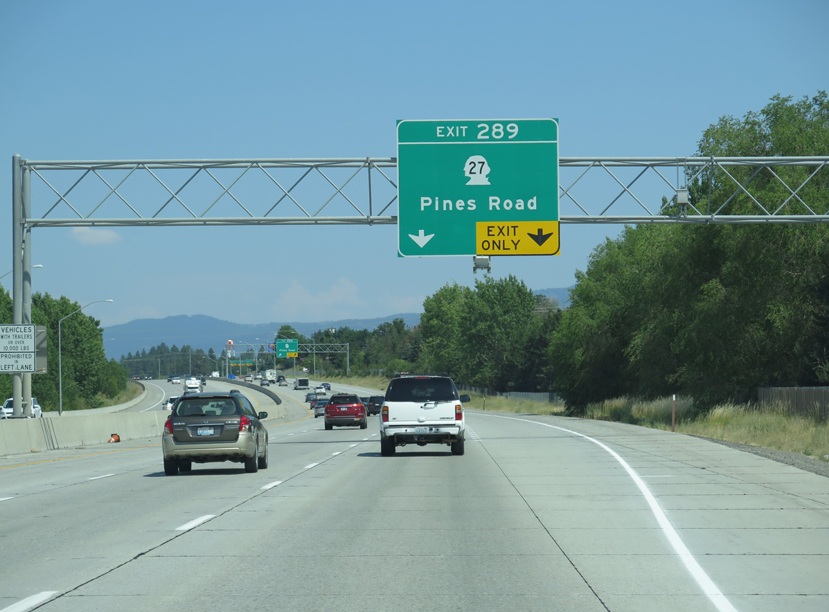
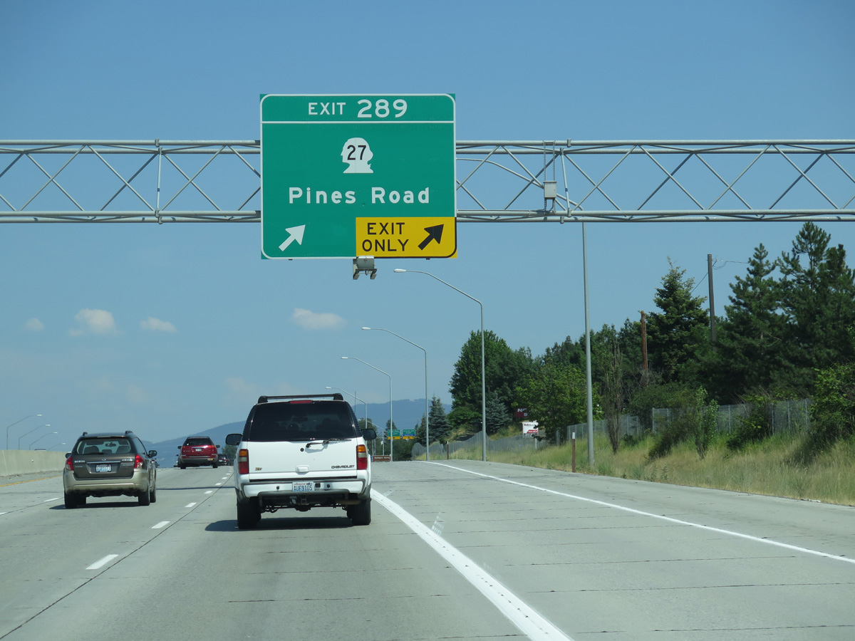
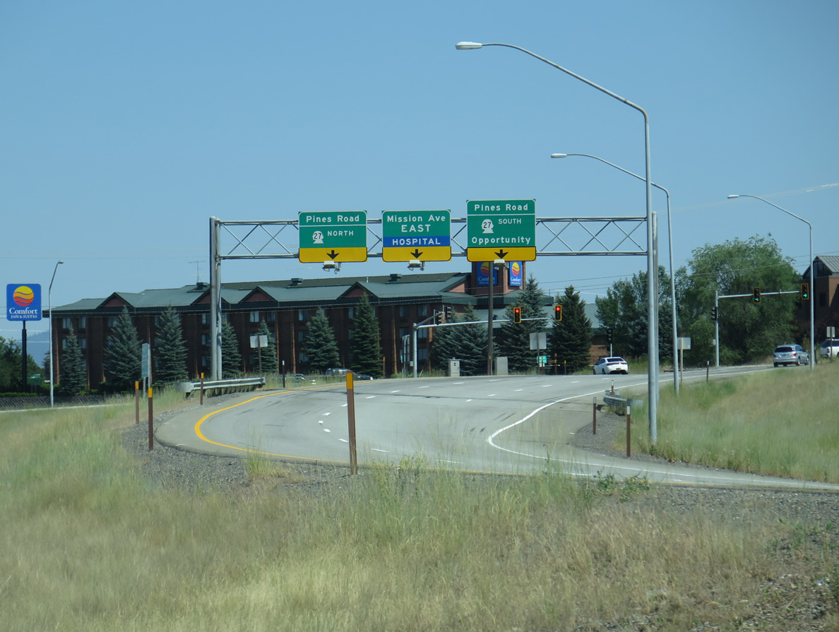
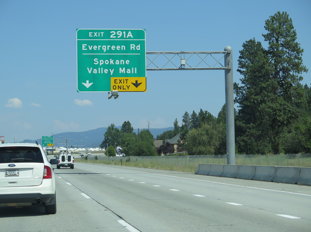
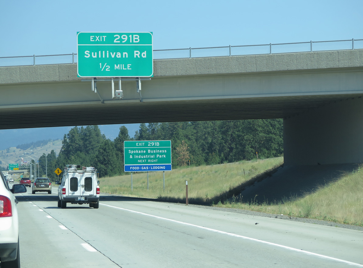
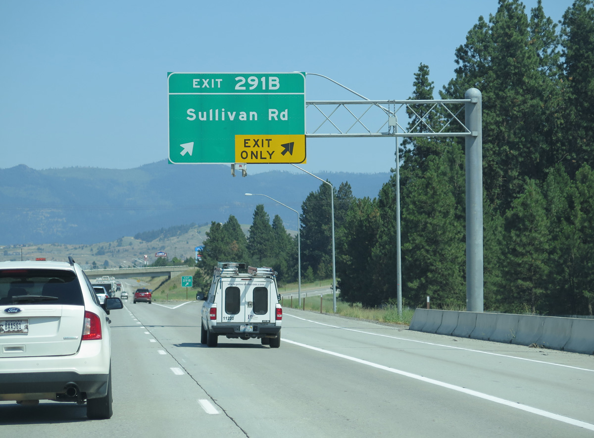
The Spokane city center lies ten miles to the northeast. I-90/U.S. 395 advance by a mix of rural land, suburban development and industrial parks to the city limits at Exit 277 B.
06/28/15
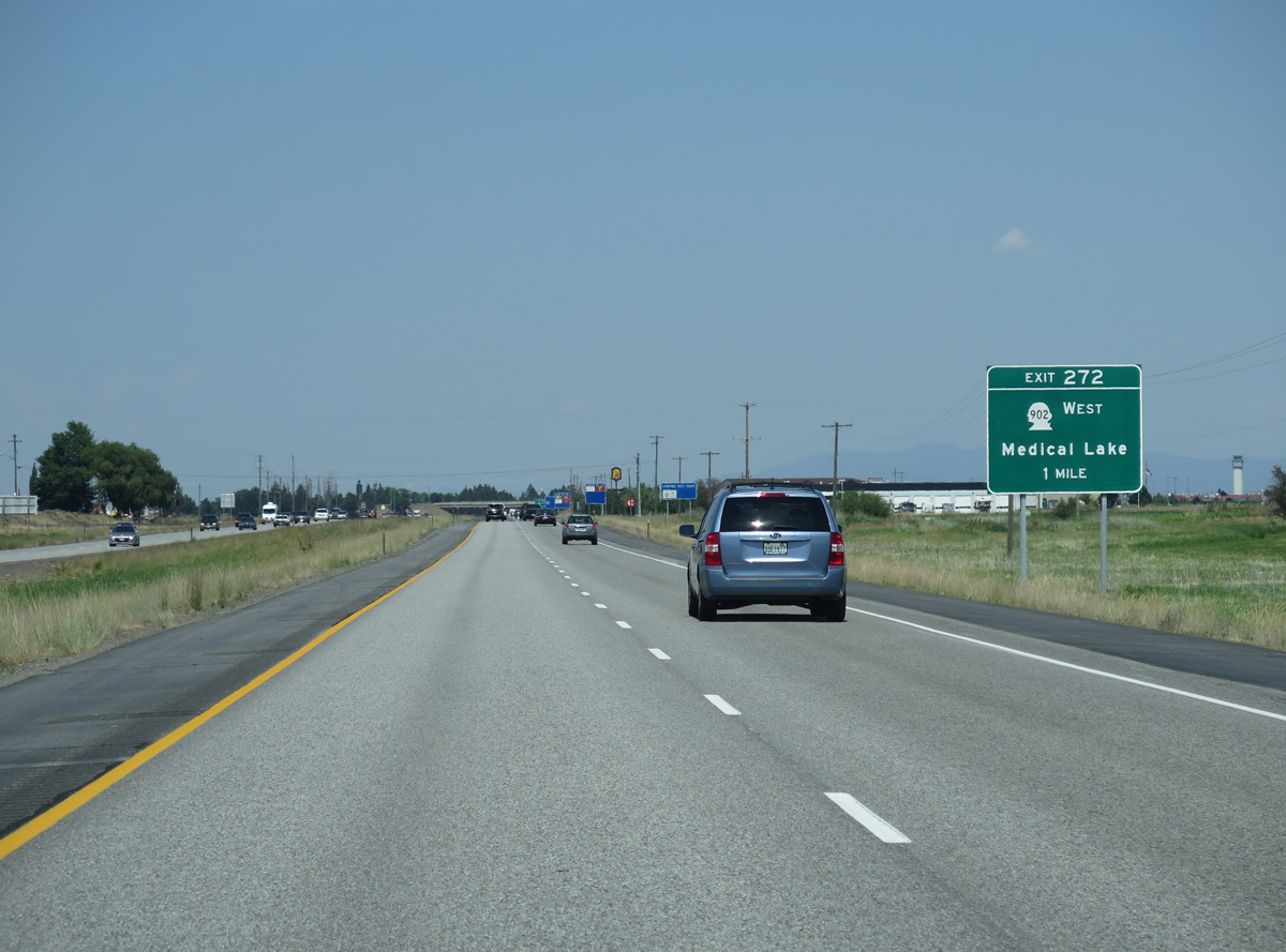
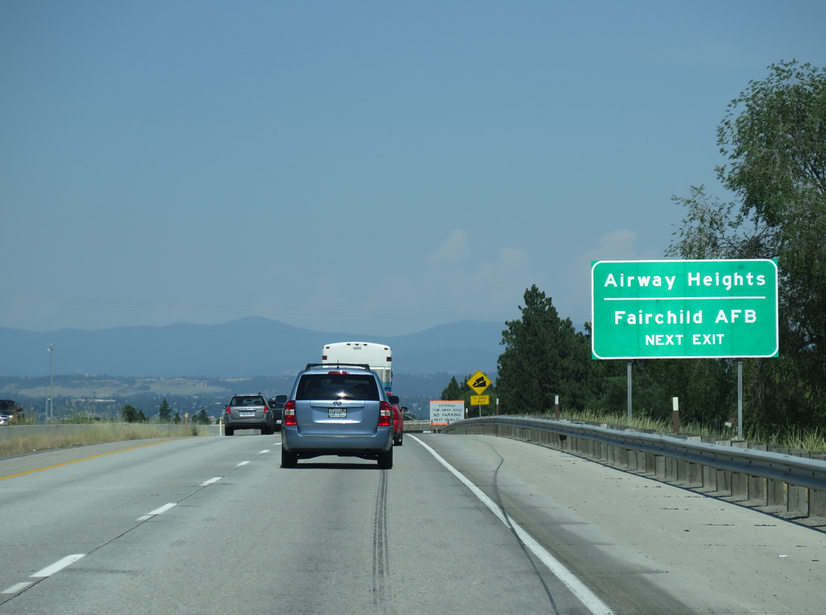
SR 902 returns to Interstate 90 at Exit 272, five miles east from Medical Lake and the Fairchild Air Force Base vicinity.
06/28/15
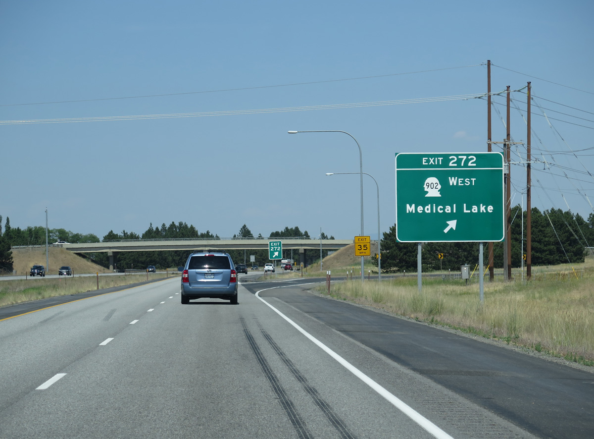
SR 902 turns south at a roundabout with Hayford Road into the dumbbell interchange (Exit 272) with I-90/U.S. 395. Aero Road extends southeast from the exchange. Hayford Road turns north at Geiger Boulevard (former U.S. 10/395) to U.S. 2 (Sunset Highway) in the city of Airway Heights.
06/28/15
Continuing northeast, I-90/U.S. 395 pass south of Spokane International Airport (GEG).
06/28/15
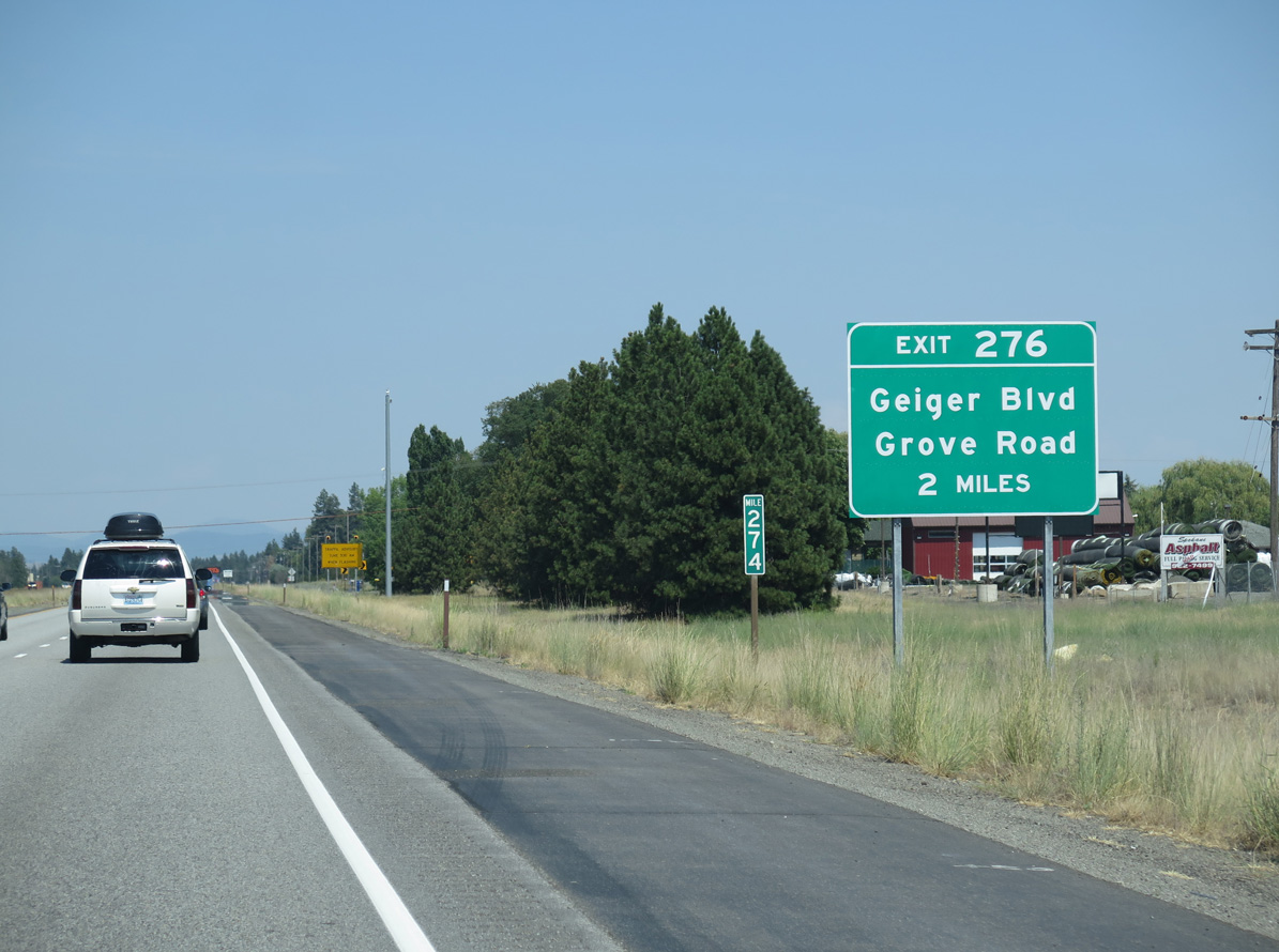
The passenger terminal for Spokane International Airport (GEG) is located on the north side of the airport, while cargo services lie on the east side. Forthcoming Exit 276 connects I-90/U.S. 395 with Grove Road north to Flightline Boulevard into Geiger Field, the original name of the airport.
06/28/15
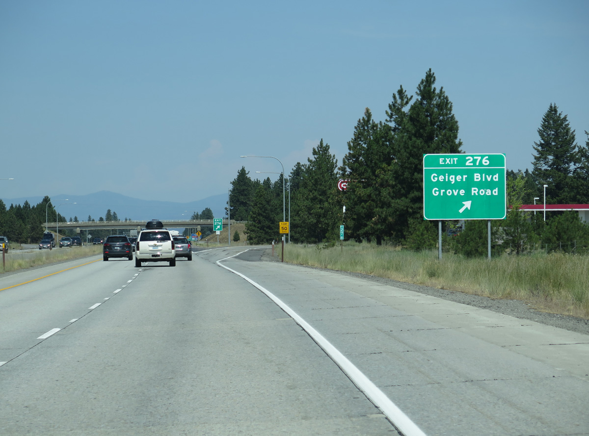
Construction completed in 2021 removed the loop ramp joining Grove Road north onto I-90 west and added roundabouts from Exit 276 in both directions.
06/28/15
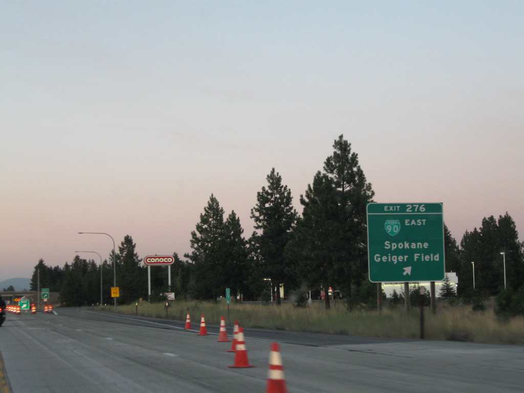
Grove Road north to Geiger Boulevard (former U.S. 10/395) east into Spokane was a sparsely signed business loop for Interstate 90. Sign replacements at Exit 276 made by 2013 dropped the designation.
08/03/11
06/28/15
06/28/15
06/28/15
06/28/15
06/28/15
 East North
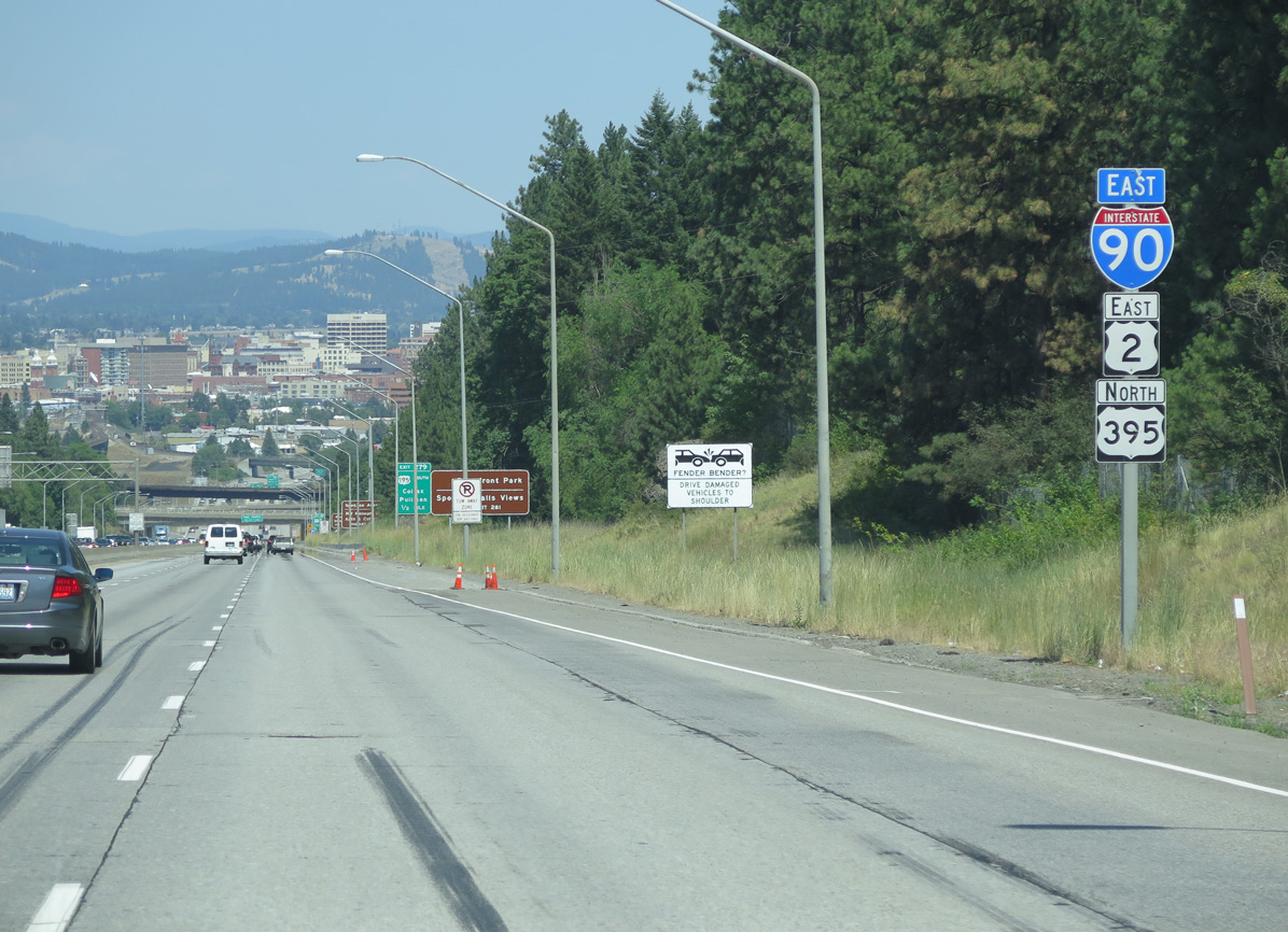
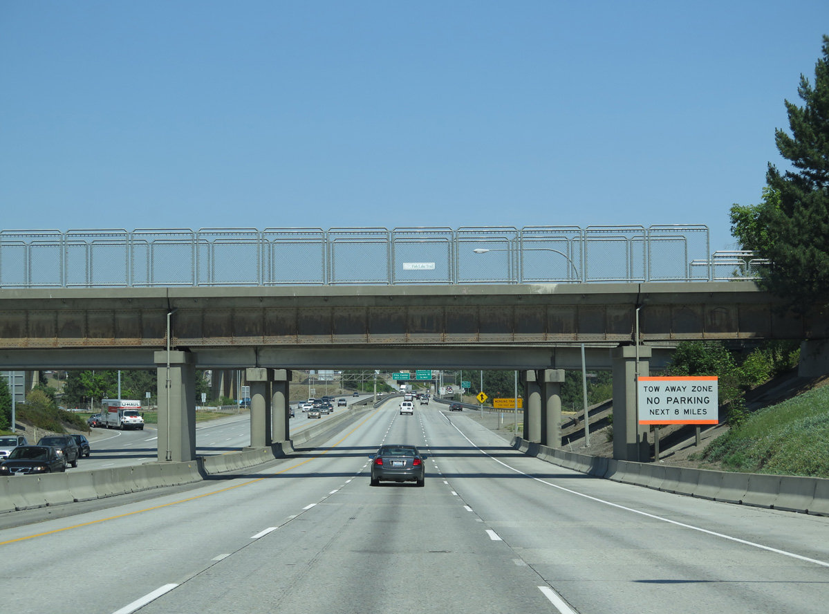
U.S. 2 combines with I-90/U.S. 395 east for 3.65 miles into Spokane.
06/28/15
06/28/15
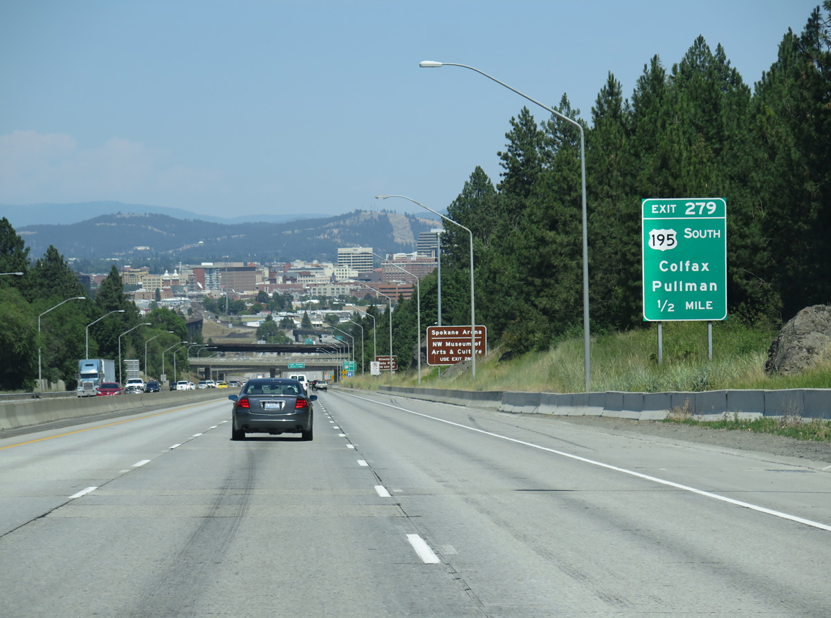
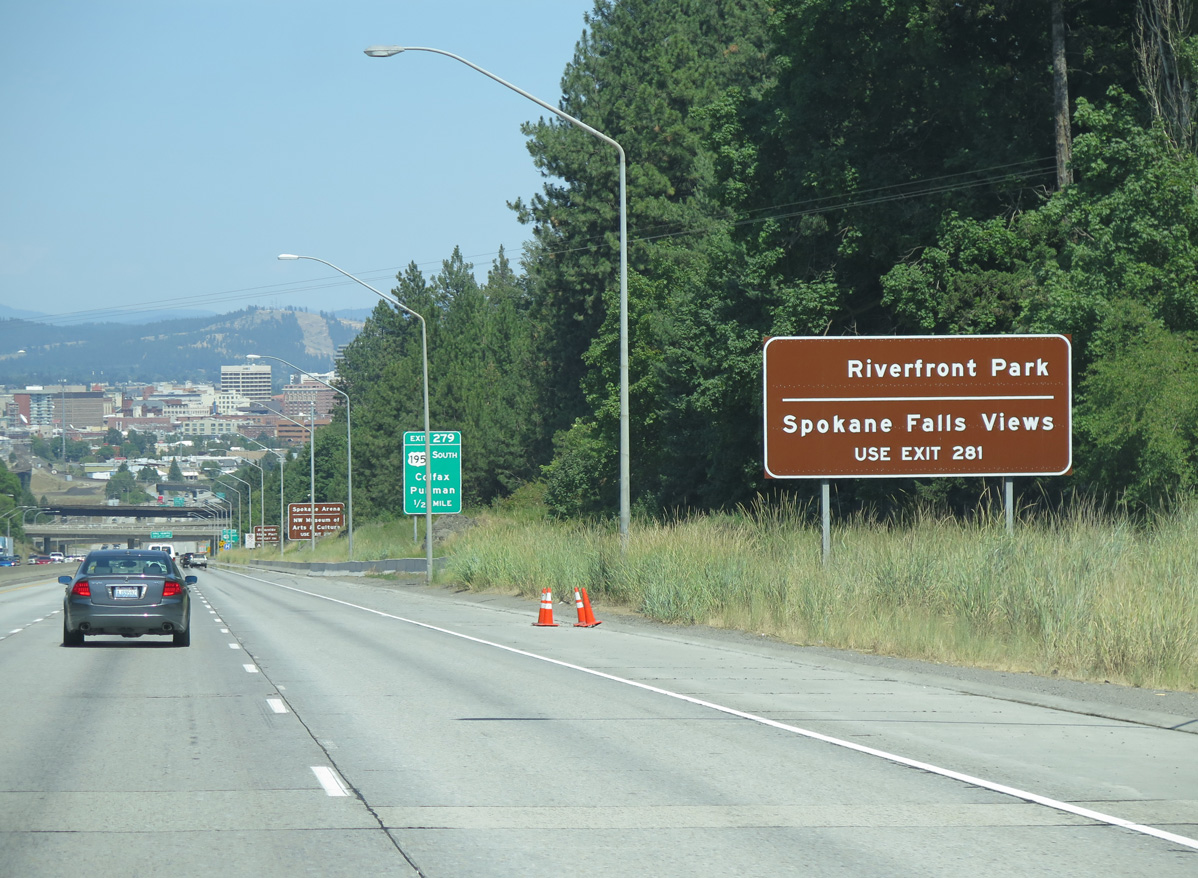
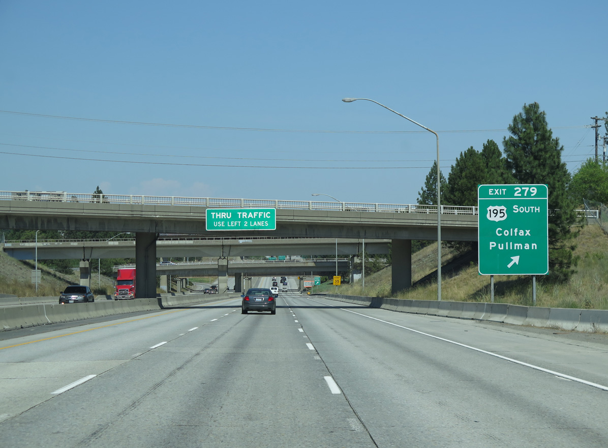
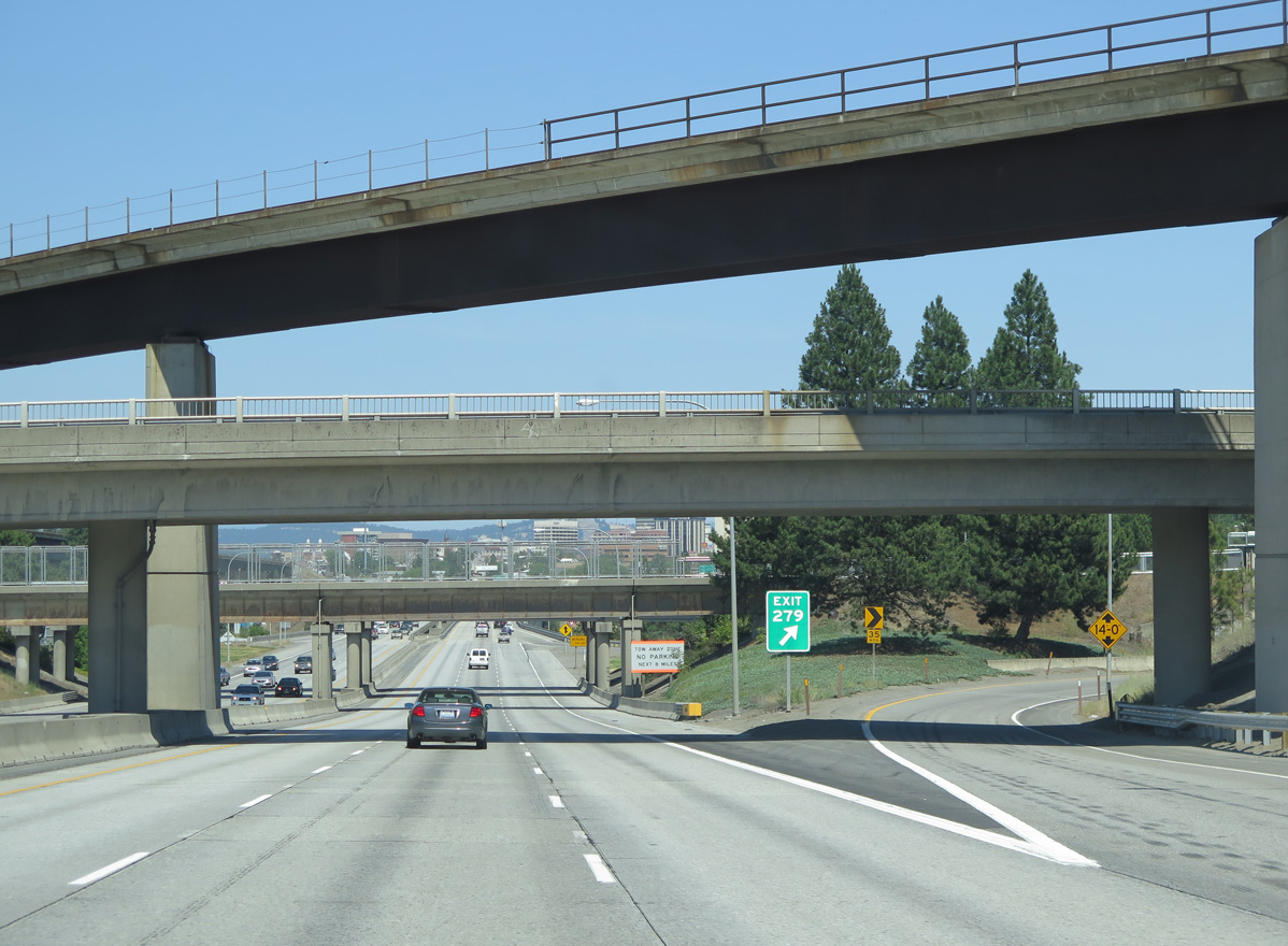
A trumpet interchange joins I-90/U.S. 2-395 with the north end of U.S. 195 at Exit 279.
06/28/15
Traveling 95.99 miles south to Colfax and Pullman, nearly the entire length of U.S. 195 falls within Washington.
06/28/15
A BNSF Railroad line spans both Lindeke Street and I-90/U.S. 2-395 at the exchange with U.S. 195.
06/28/15
06/28/15
A viaduct takes I-90/U.S. 2-395 east across High Bridge Park, Latah Creek and Inland Empire Way.
06/28/15
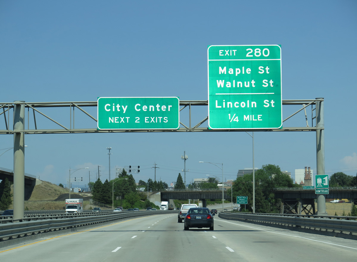
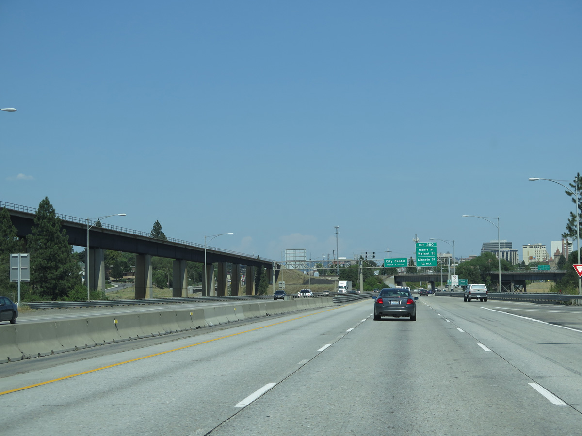
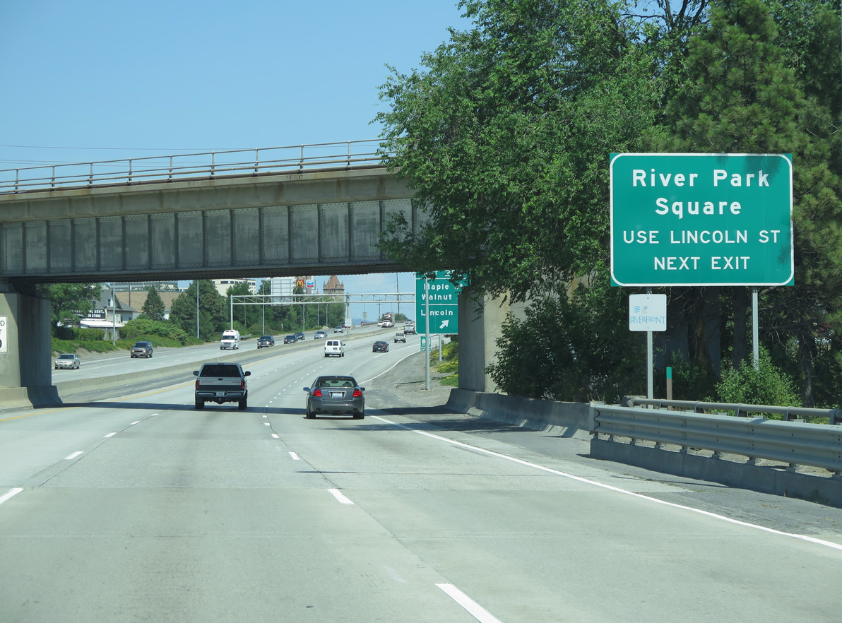
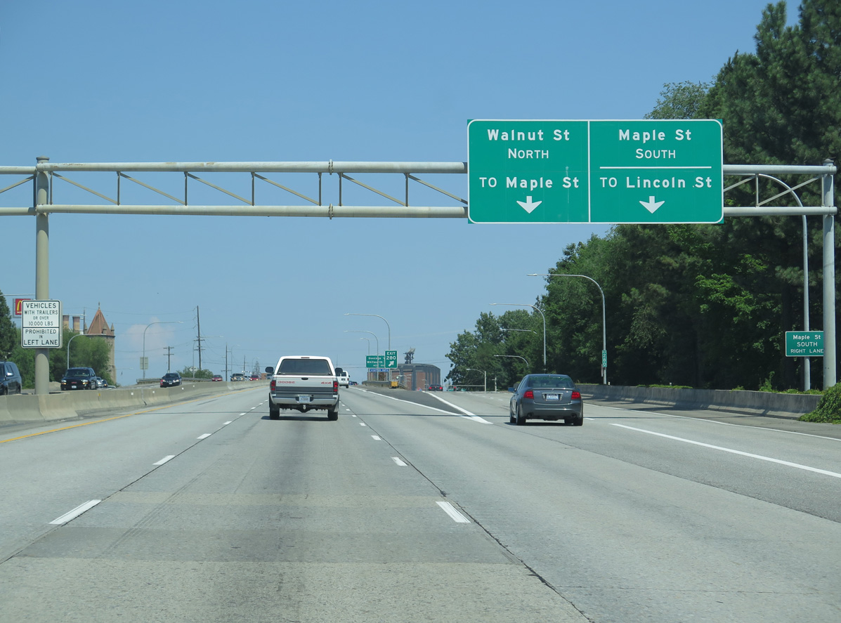
The split diamond interchange (Exit 280) with Maple Street south and Walnut Street north joins I-90/U.S. 2-395 with the west side of the Spokane city center.
06/28/15
The split diamond interchange (Exit 280) with Maple Street south and Walnut Street north joins I-90/U.S. 2-395 with the west side of the Spokane city center.
06/28/15
06/28/15
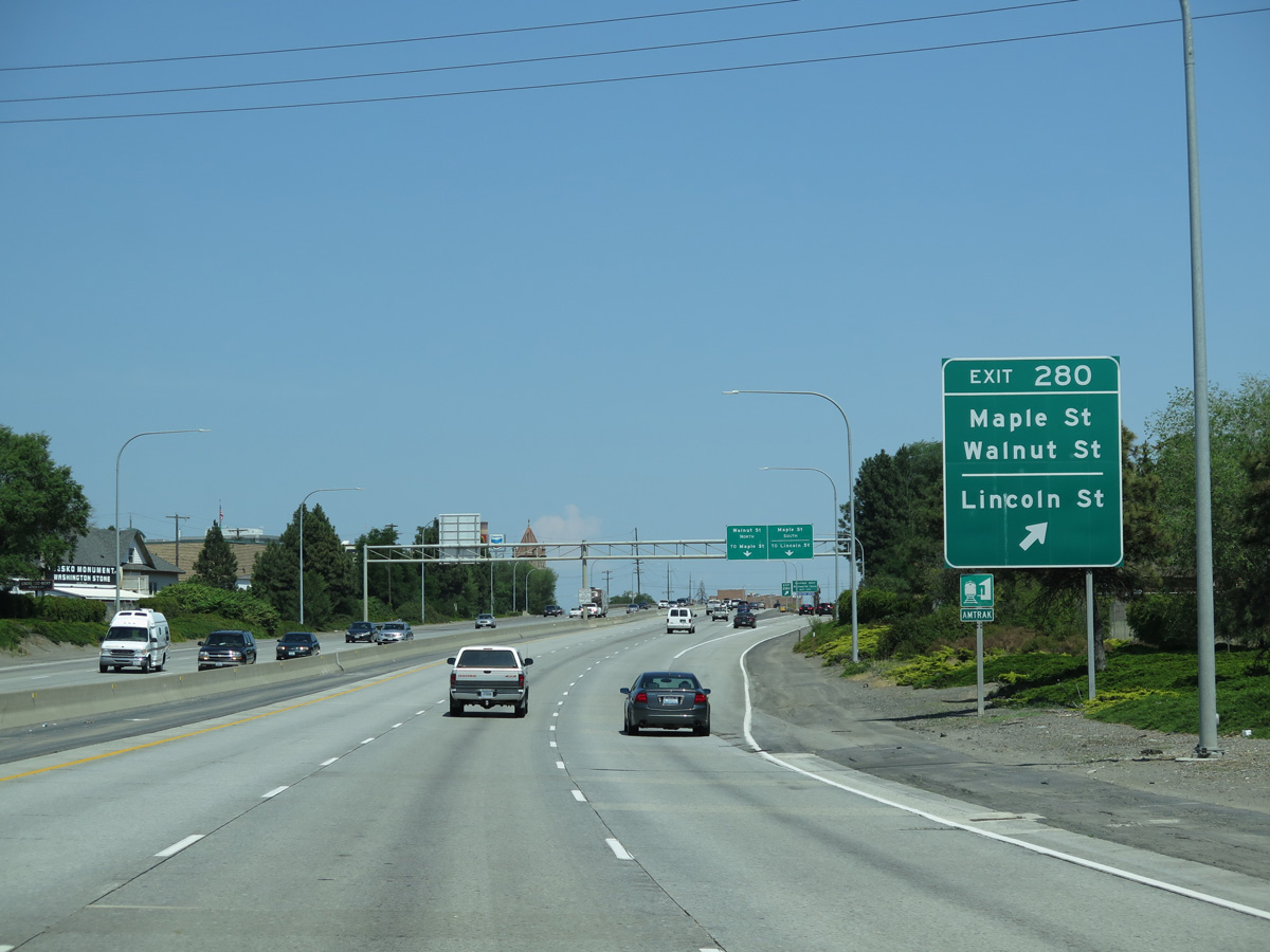
Lincoln Street leads north from W 4th Avenue alongside Interstate 90 to the heart of Downtown Spokane.
06/28/15
06/28/15

Running just south of the Spokane city center, Interstate 90 elevates over the street grid along a viaduct. A handful of midrise buildings appear to the north between Exits 280 and 281.
06/28/15
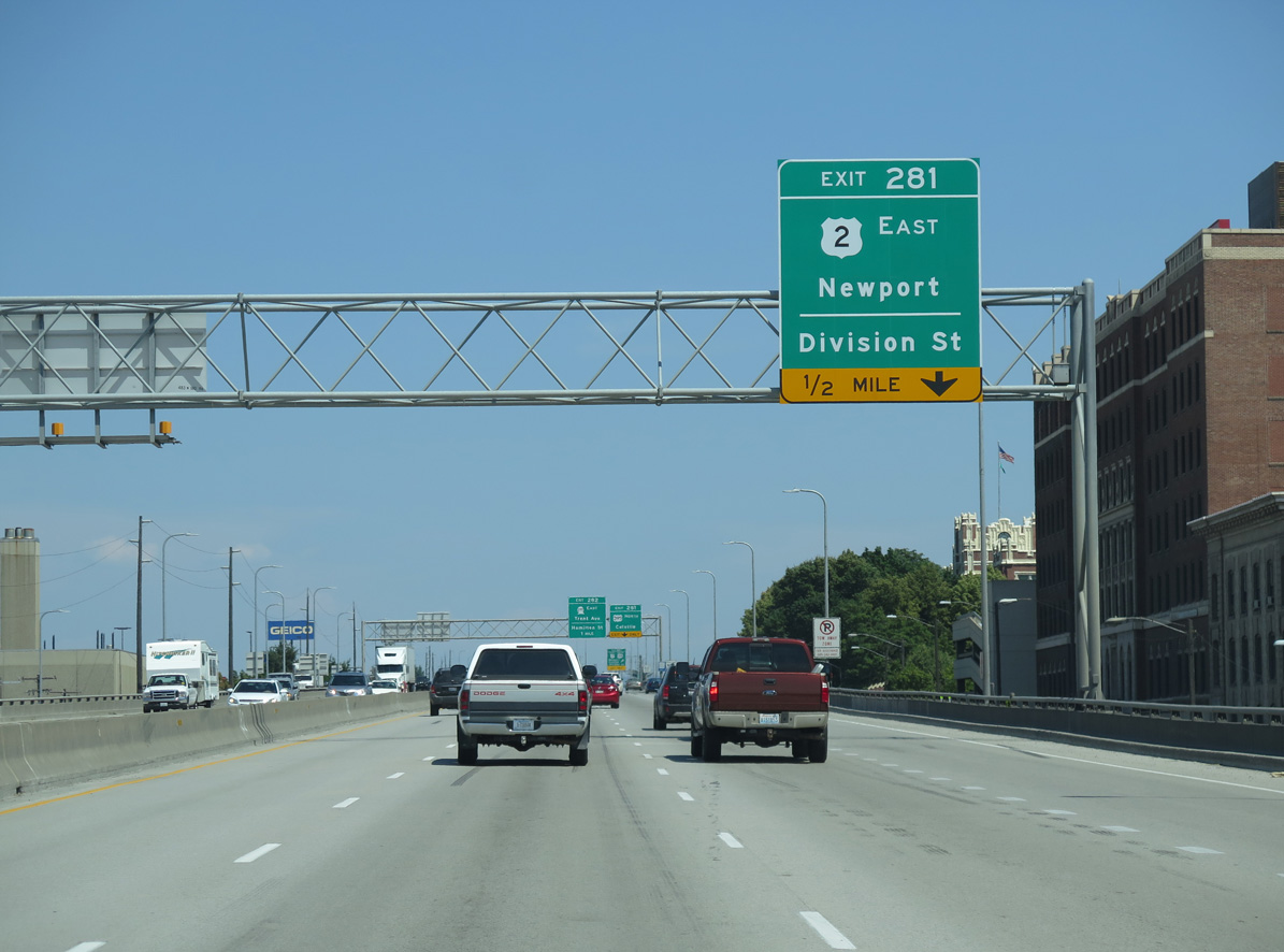
U.S. 2/395 part ways with Interstate 90 beyond the Monroe Street entrance ramp for Division Street north at Exit 281. The pair continue 6.1 miles north through Spokane to the Country Homes area, where they separate for Colville and Newport respectively.
06/28/15

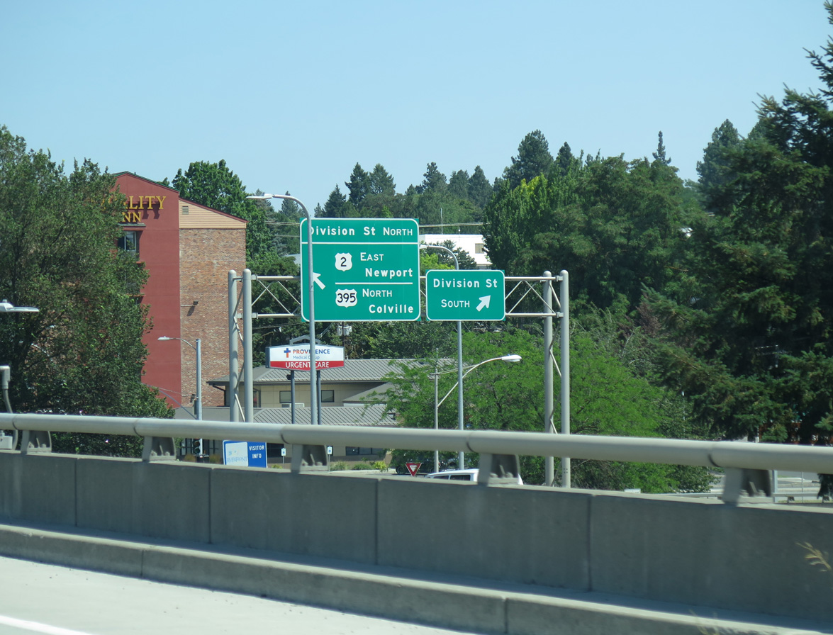
Division Street flows north forms a couplet with Browne Street south for U.S. 2/395 to the Spokane Convention Center and Spokane River. Division Street extends south from Exit 281 to 8th Avenue and Providence Sacred Heart Medical Center.
06/28/15
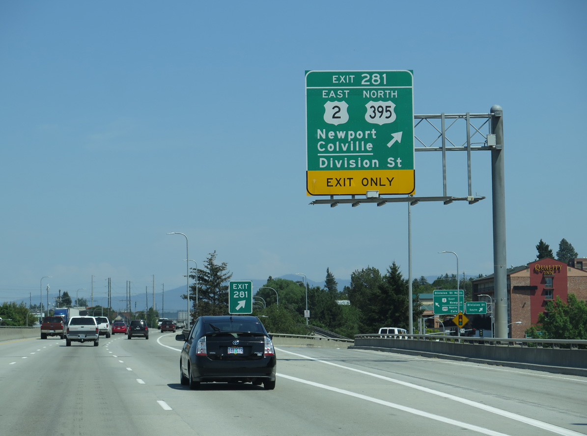
Exit 281 separates from I-90 east for U.S. 2/395 (Division Street) north and 4th Avenue. U.S. 2/395 will eventually be relocated further east onto the North Spokane Corridor, a freeway open north from Hillyard in Spokane to Mead.
06/28/15
Exit 281 is a flyover spanning Browne Street before lowering to Division Street at 4th Avenue. U.S. 395 reaches Colville, the Stevens County seat, in 71 miles while U.S. 2 turns eastward in Pend Oreille County to the county seat of Newport in 47 miles.
06/28/15
East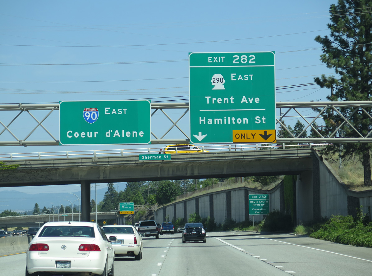
A directional T interchange next joins Interstate 90 east with SR 290 east at Exit 282. SR 290 spurs 0.74 miles north along an expressway to Hamilton Street, where the route turns east along Trent Avenue to Orchard Park and Spokane Valley.
06/28/15
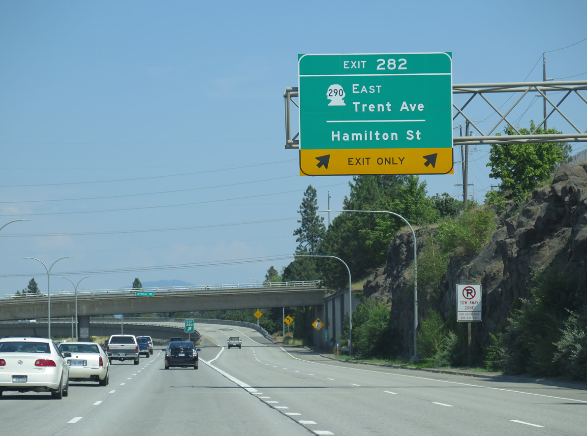
SR 290 stretches 18.38 miles east from I-90 in Spokane to Spokane Valley, Millwood and the Idaho state line at SH 53. Exit 282 is signed for the convention center and Washington State University at Spokane via Spokane Falls Boulevard west from SR 290 at Hamilton Street.
06/28/15
06/28/15
06/28/15
06/28/15
06/28/15
06/28/15
06/28/15
06/28/15
06/28/15
06/28/15
06/28/15
06/28/15
06/28/15
06/28/15
06/28/15
06/28/15
06/28/15
06/28/15

06/28/15
06/28/15

06/28/15
06/28/15
06/28/15
06/28/15
06/28/15
06/28/15
06/28/15
06/28/15
06/28/15
06/28/15
06/28/15
Photo Credits:
08/03/11, 06/28/15 by AARoads
Connect with:
U.S. 395
State Route 290
Page Updated 07-13-2023.