|
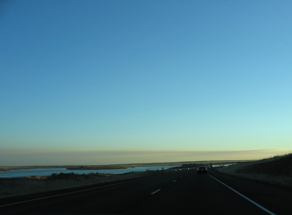
| Harper Island rises from within Sprague Lake south of I-90/U.S. 395 near the railroad siding of Pifer. 09/01/06 |
|
| Ghens Road passes over I-90/U.S. 395 just south of the Adams County line at Pifer. 09/01/06 |
|
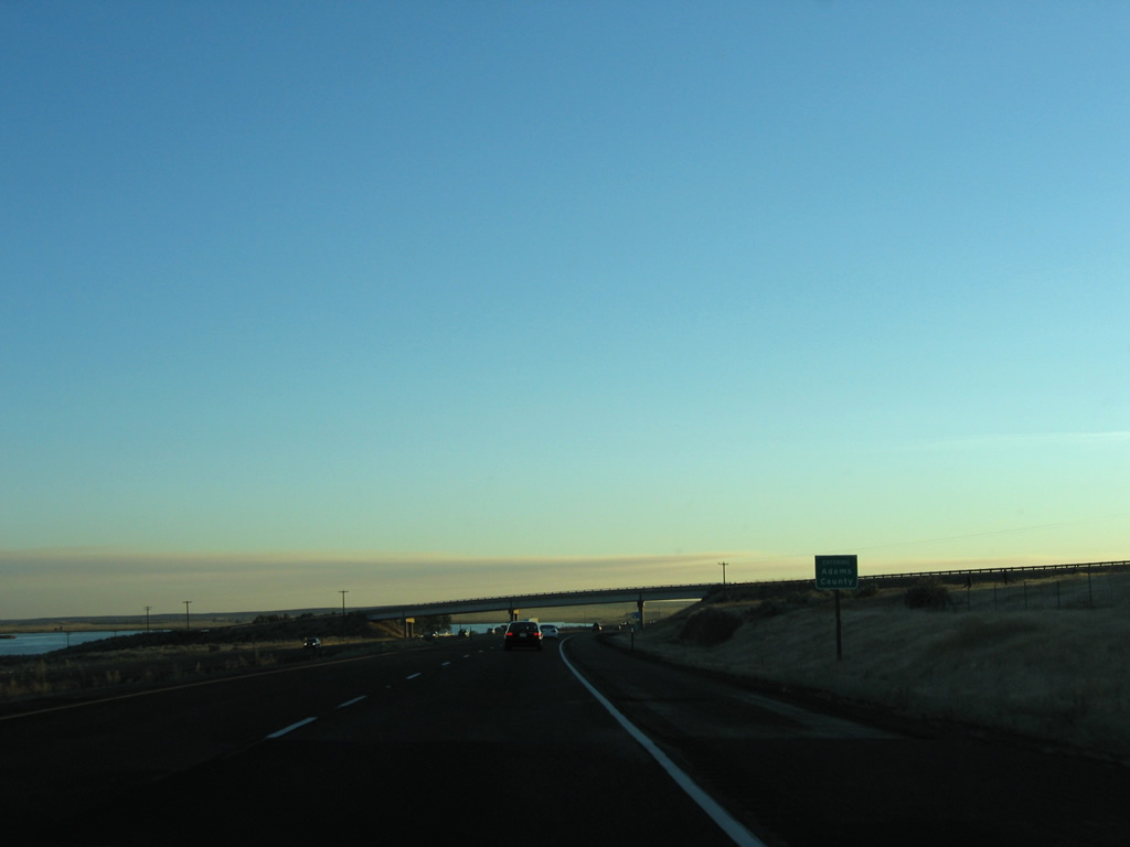
| Sprague, a city of around 500, is 27 miles to the southwest at the crossroads with SR 23. Seattle is four hours away. 09/01/06 |
|
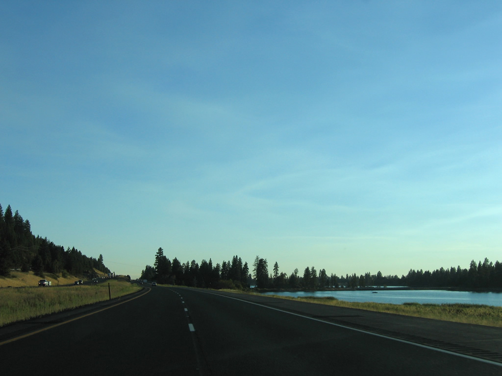
| I-90/U.S. 395 line the eastern shore of both Willow and Granite Lakes to the west of Wrights Hill. 09/01/06 |
|
| The eastbound roadway travels above the westbound lanes besides Granite Lake. A pair of rest areas were previously located in the clearing ahead. 09/01/06 |
|
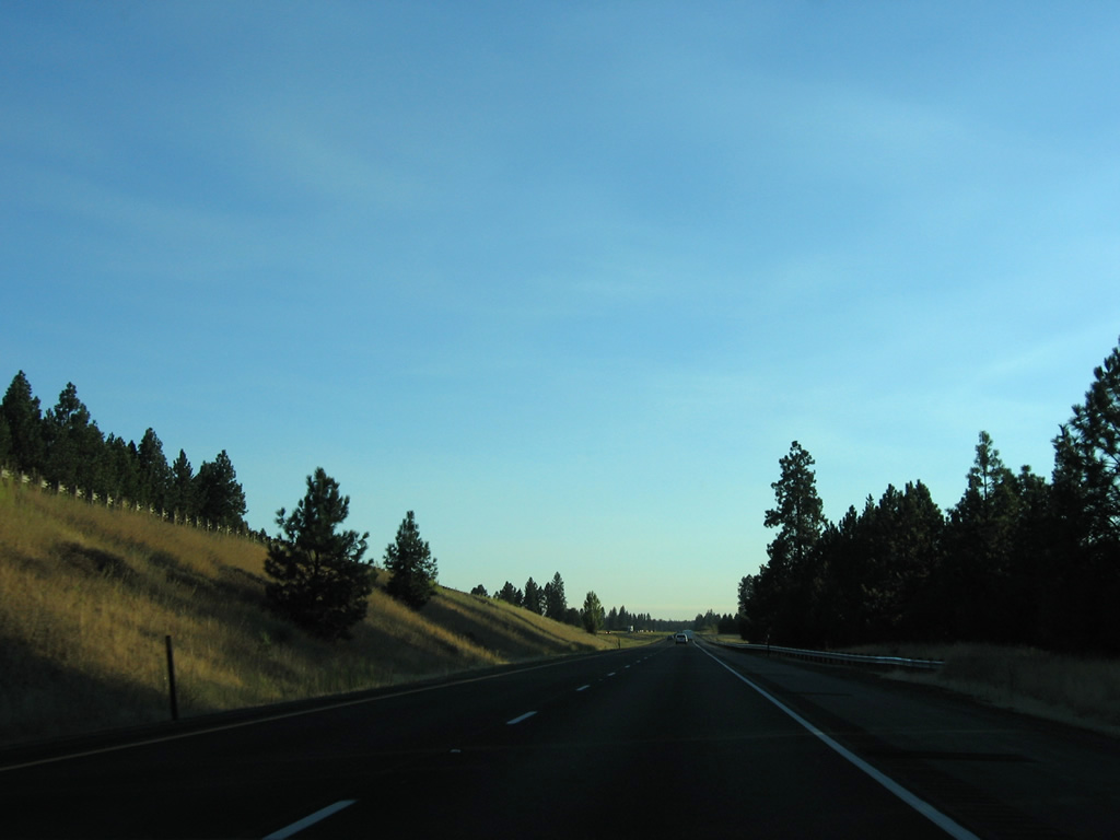
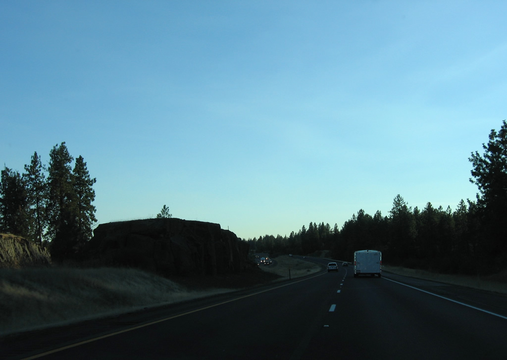
| A rock cluster appears within the median of I-90/U.S. 395 within the vicinity of Big Swamp and Canyon Creek. 09/01/06 |
|
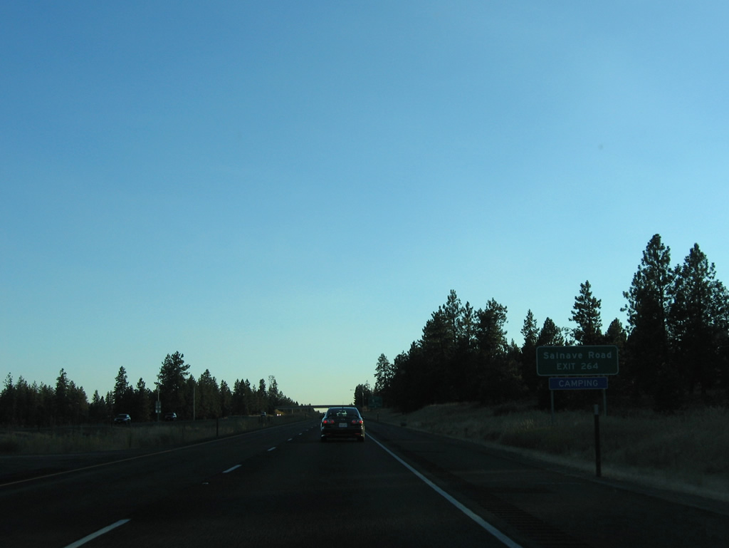
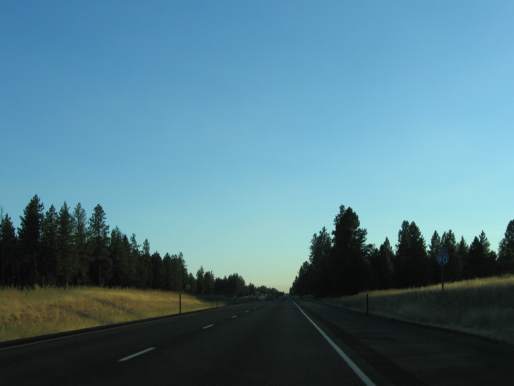
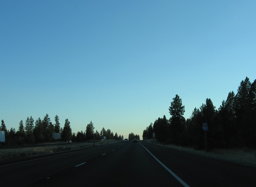
| SR 902 (Salnave Road) returns to Interstate 90 at a diamond interchange (Exit 264) south of Cedar Lake. 09/01/06 |
|
| Salnave Road continues east from Interstate 90 as a locally maintained road to the city of Cheney. 09/01/06 |
|
| Medical Lake is a seven mile drive northward via SR 902 east from Exit 264. Malloy Prairie Road stems west from SR 902 nearby as part of a route to Waukon. 09/01/06 |
|
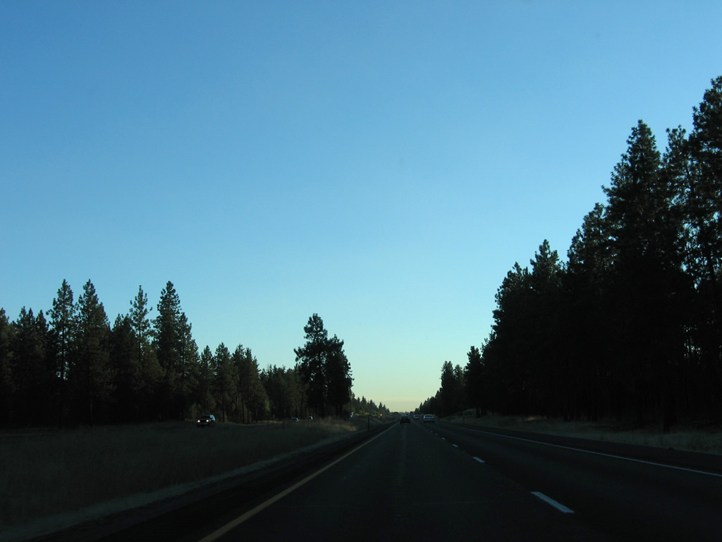
| Continuing southwest, I-90/U.S. 395 traverse vastly undeveloped forest and swamp land to the community of Tyler. 09/01/06 |
|
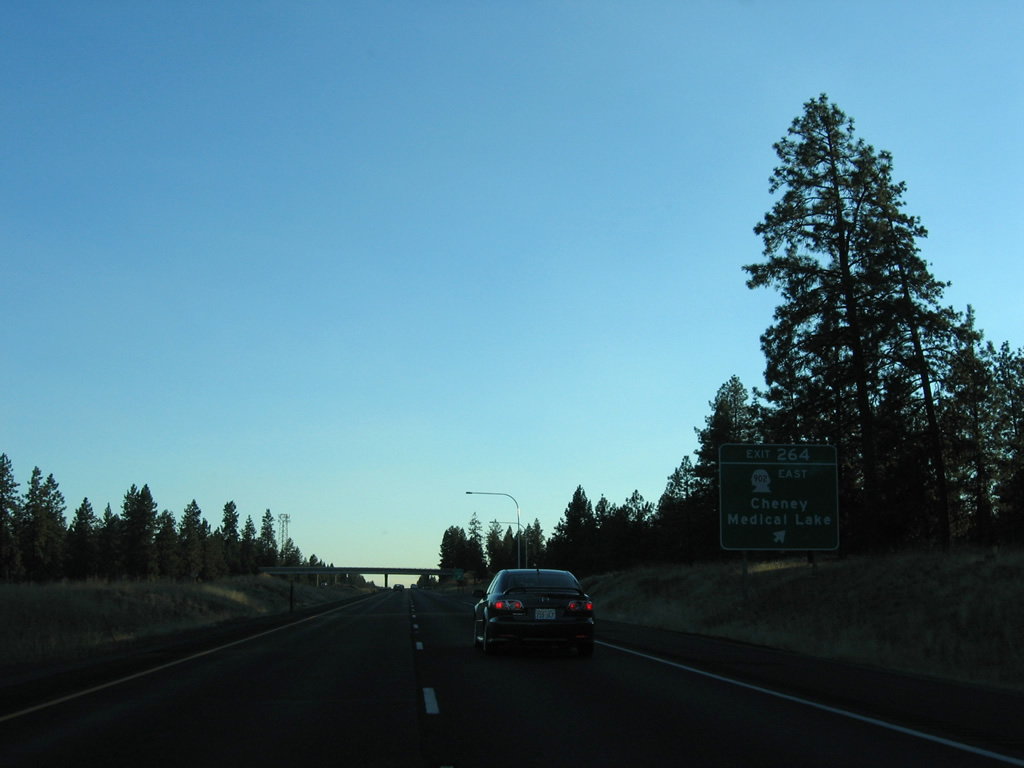
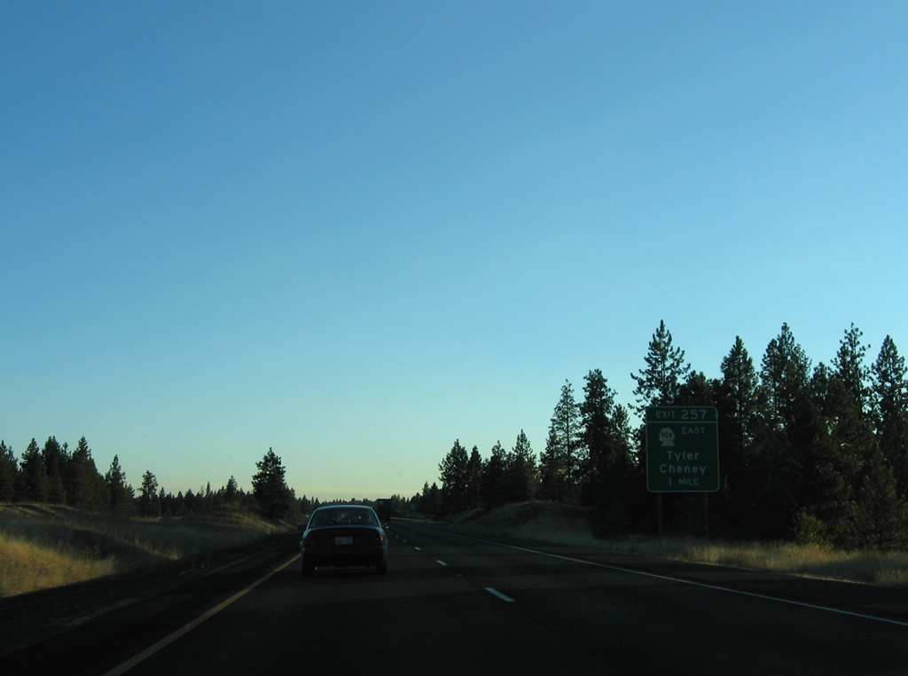
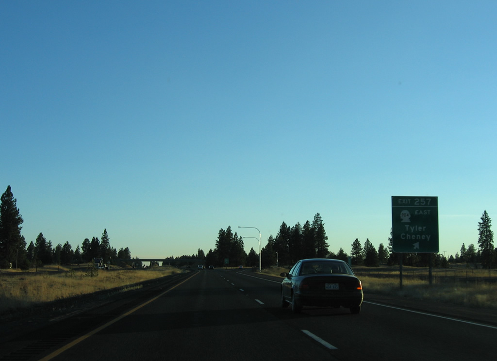
| SR 904 runs 11 miles southwest from Cheney to the diamond interchange at Exit 257. 09/01/06 |
|
| Exit 257 departs I-90/U.S. 395 west for SR 904 east to Tyler. Malloy Prairie Road south and Boston Road tie into the west end of SR 904 from adjacent rural areas. 09/01/06 |
|
| U.S. 395 is inconsistently signed along the overlap with Interstate 90. 09/01/06 |
|
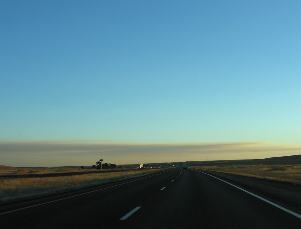
| Sprague is the next community along I-90 west in 11 miles, followed by Ritzville in 35 miles. Seattle is 255 miles away. 09/01/06 |
|
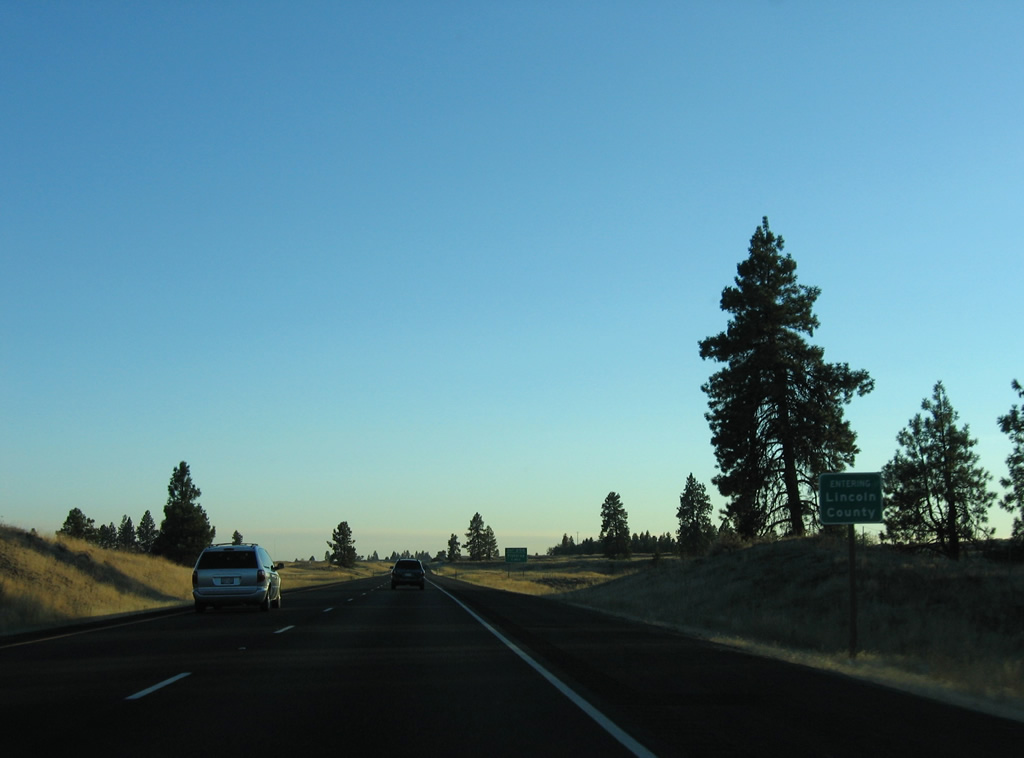
| Interstate 90 travels 44 miles across Spokane County to southeastern Lincoln County. 09/01/06 |
|
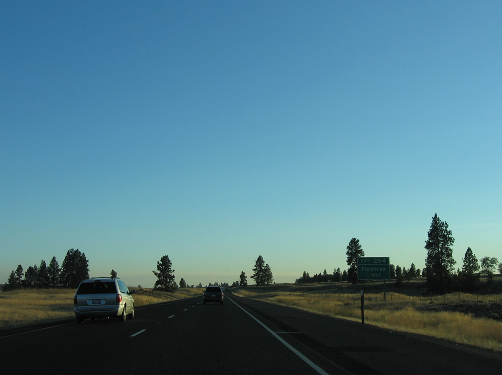
| Exit 254 joins I-90/U.S. 395 with Sprague Highway Road at Fishtrap in one mile. Fishtrap is the name of a siding along the BNSF Railroad nearby. 09/01/06 |
|
| Sprague Highway Road loops east from Exit 254 to Sprague along the former alignment of U.S. 10/395. 09/01/06 |
|
| Wide open steppe extends to the horizon as I-90/U.S. 395 turn more westerly ahead of Sprague. 09/01/06 |
|
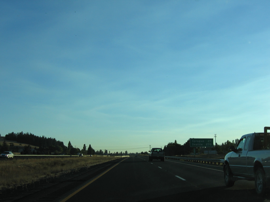
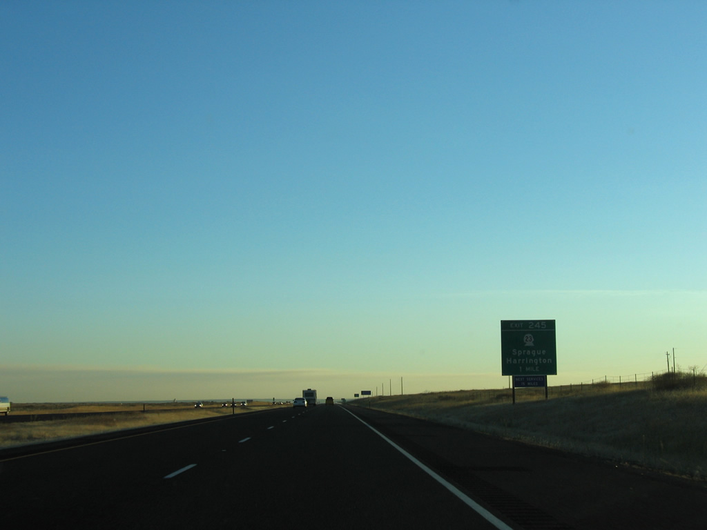
| SR 23, a 66 mile long route from Harrington to U.S. 195 at Steptoe, meets I-90/U.S. 395 at Exit 245. The state route runs 30 miles southeast to Columbia Plateau Trail State Park and St. John. 09/01/06 |
|
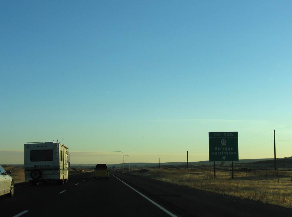
| SR 23 meets I-90/U.S. 395 at a diamond interchange (Exit 245) on the outskirts of Sprague. Sprague offers the last services along Interstate 90 west for 15 miles. 09/01/06 |
|
| North from Sprague, SR 23 travels 22 miles to SR 28 at Harrington. SR 231 stems north from SR 23 nearby to Edwall and Reardan. 09/01/06 |
|
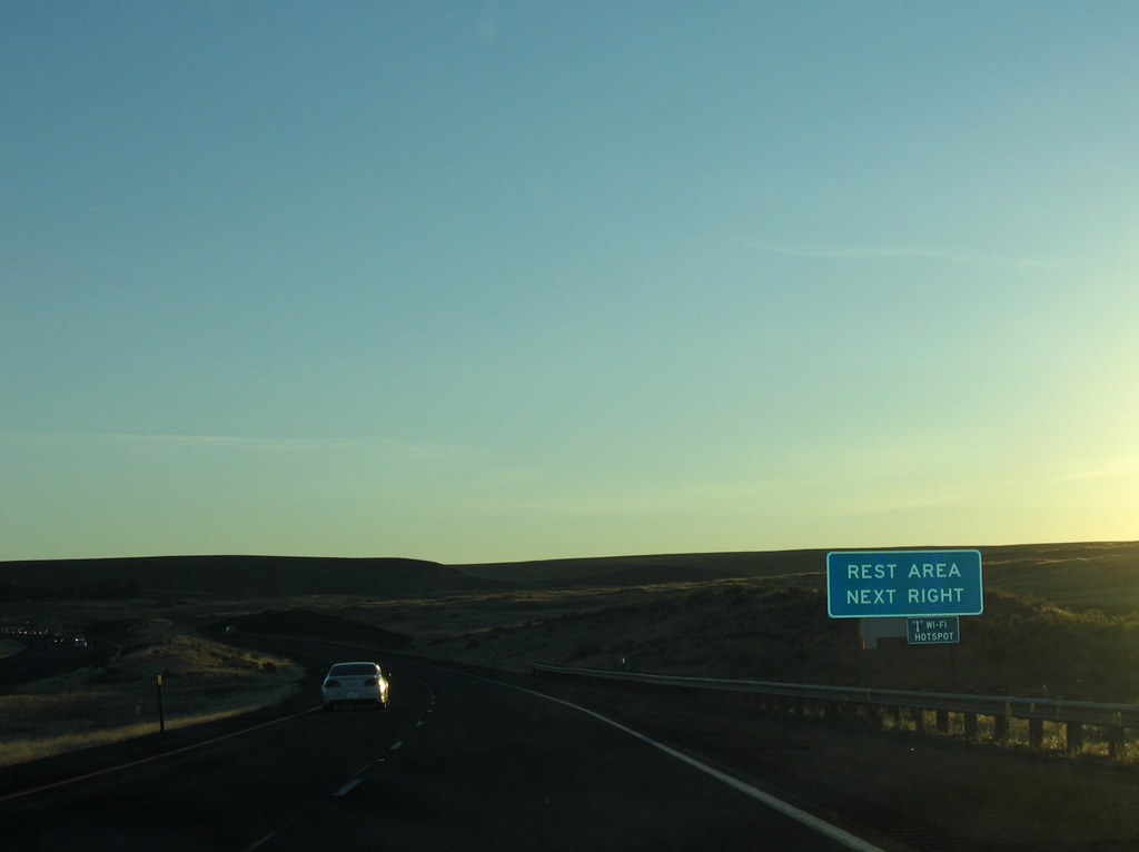
| The first rest area in Washington along Interstate 90 westbound lies west of Sprague on a hill north of Sprague Lake. 09/01/06 |
|
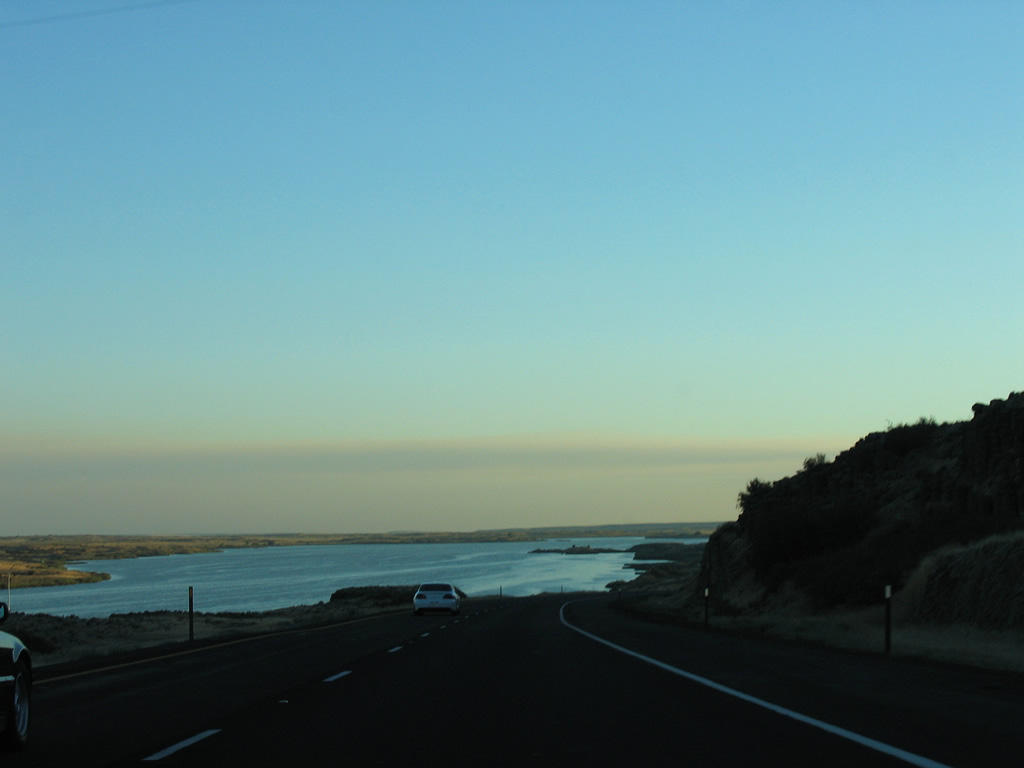
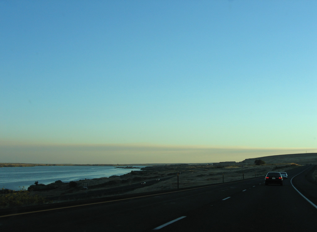
| Sprague Lake spreads along the east side of I-90/U.S. 395 over a five mile stretch south from the rest area. 09/01/06 |
|
| I-90/U.S. 395 pass over the BNSF Railroad again west of Pifer and east of Keystone. 09/01/06 |
|
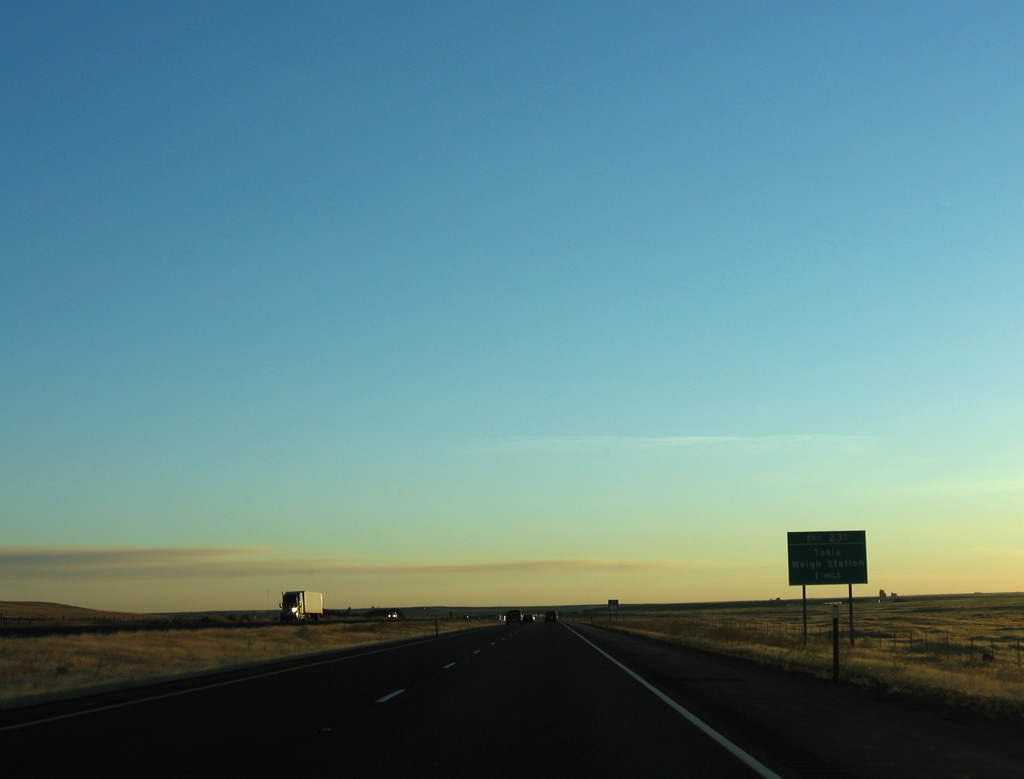
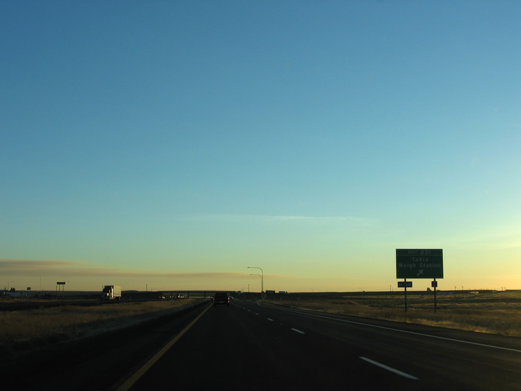
| Old U.S. 10/395 (Danekas Road) shifts sides with I-90/U.S. 395 at the exchange (Exit 231) near Tokia. 09/01/06 |
|
| Danekas Road arcs west to Tokia, a BNSF Railroad siding, later becoming 1st Avenue through Ritzville. A weigh station lines the westbound on-ramp. 09/01/06 |
|
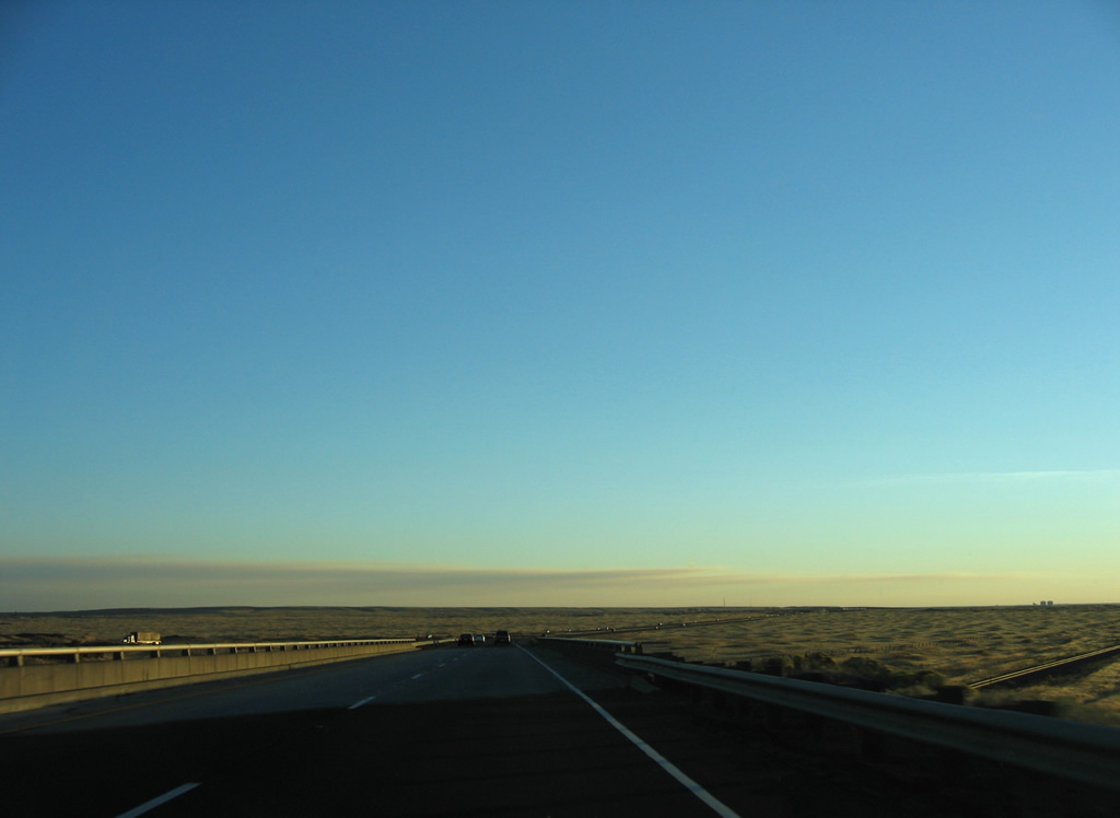
| I-90/U.S. 395 progress southwest through a wide and low valley ahead of Ritzville. 09/01/06 |
|
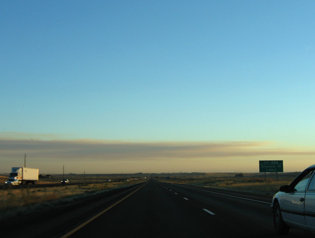
| The freeway climbs onto a plateau ahead of the diamond interchange (Exit 226) with Schoessler Road. 09/01/06 |
|
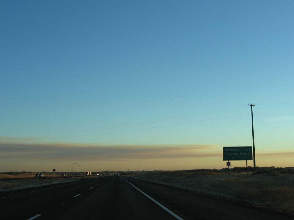
| Schoessler Road west to Danekas Road (old U.S. 10/395) provides a truck route into Ritzville. Ritzville is the county seat and home to 1,673 per the 2010 census. 09/01/06 |
|
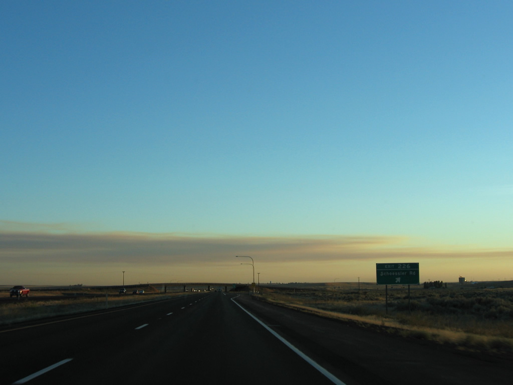
| Exit 226 leaves I-90/U.S. 395 south for Schoessler Road. East from the rural exit, Schoessler Road heads through agricultural areas to Hills Road. 09/01/06 |
|
| The first of two Ritzville exits joins I-90/U.S. 395 west with Division Street north and the southbound beginning of SR 261. 09/01/06 |
|
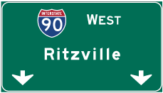
| U.S. 395 separates from I-90 for an expressway leading southwest by Lind. U.S. 395 connects with Interstate 182 at Pasco in 73 miles. 09/01/06 |
|
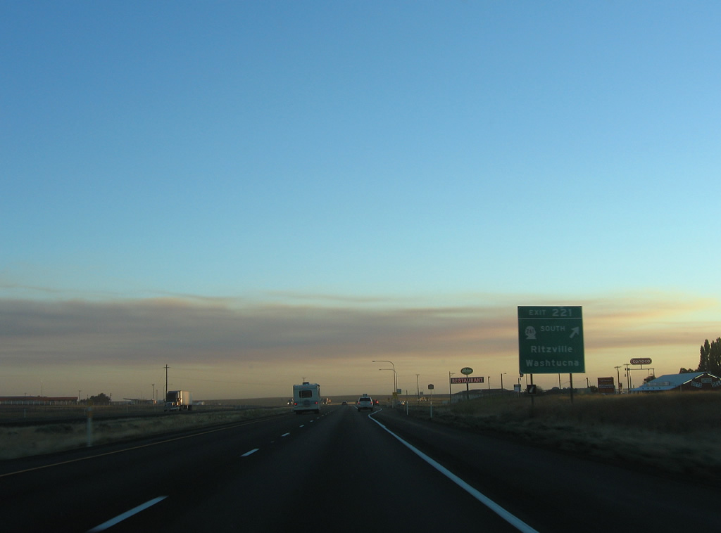
| Division Street curves northwest from the diamond interchange at Exit 221 to the Ritzville city center at 1st Avenue (old U.S. 10/395). SR 261 continues the road southward 27 miles to Ralston and Washtucna. The state route stretches 62.7 miles to U.S. 12, north of Dayton. 09/01/06 |
|
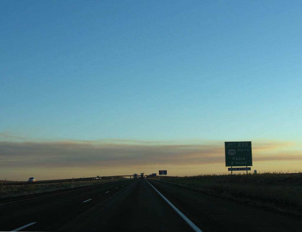
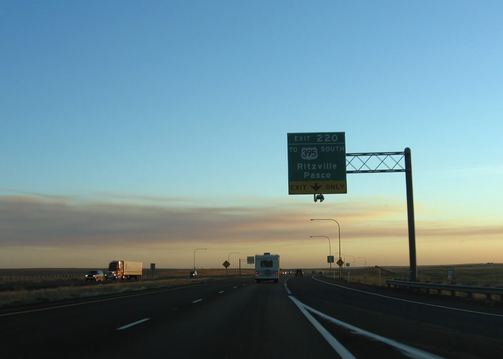
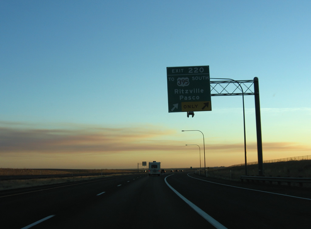
| Interstate 90 west gains an auxiliary lane from SR 261 to the wye interchange (Exit 220) where U.S. 395 parts ways. U.S. 395 comprises a freeway or expressway to the Tri-Cities, where the route combines with I-182 before turning south to Kennewick and I-82. 09/01/06 |
|
| U.S. 395 and Exit 220 link I-90 west with adjacent 1st Avenue. That exit was a parclo B2 interchange until 1996, when it was reconfigured to accommodate the expressway upgrade along U.S. 395. 1st Avenue was formerly part of a business loop for I-90 in addition to U.S. 10/395. 09/01/06 |
|
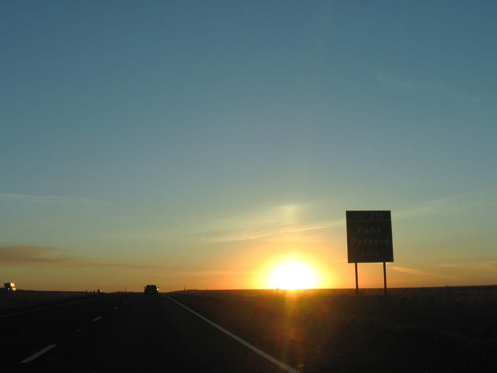
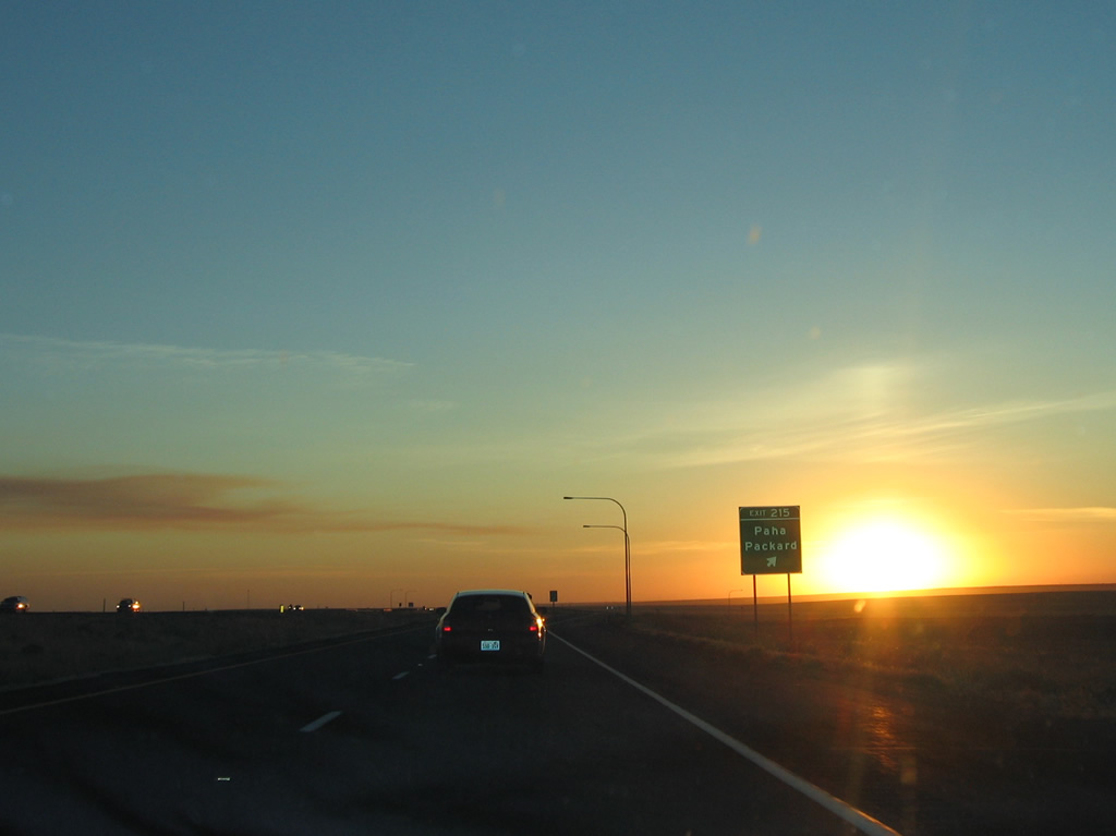
| Paha-Packard Road meets Interstate 90 west at a diamond interchange (Exit 215) in one mile. 09/01/06 |
|
| Paha-Packard Road connects the settlement of Paha and U.S. 395 to the south with the former railroad siding of Packard through mostly open farm land. 09/01/06 |
Page Updated 06-26-2013.


 West
West  South
South