|
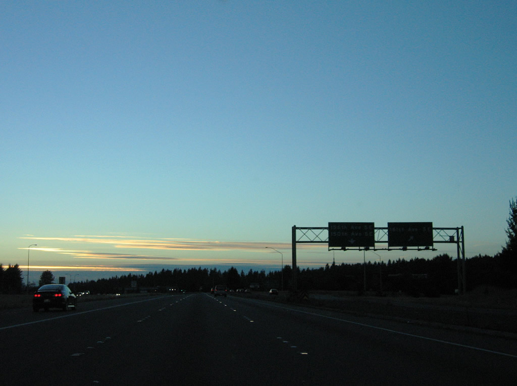
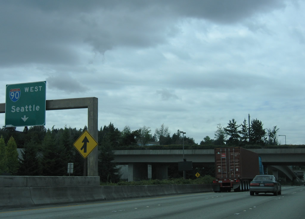
| Departing from the c/d roadway at Exit 11 first is the ramp to 161st Avenue SE north at parallel Eastgate Way. 161st Avenue SE spurs northeast to Phantom Lake. 08/28/06 |
|
| The succeeding ramp for Exit 11 ties into the intersection of Eastgate Way and 156th Avenue SE north. A loop ramp follows for 150th Avenue SE south to the Hilltop and Somerset communities of south Bellevue. Forthcoming Interstate 405 is a 30 mile belt route north to Kirkland and south to Renton. 08/28/06 |
|
| Separate ramps link the HOV-2 lanes along Interstate 90 with 142nd Place SE south of Bellevue College. 08/28/06 |
|
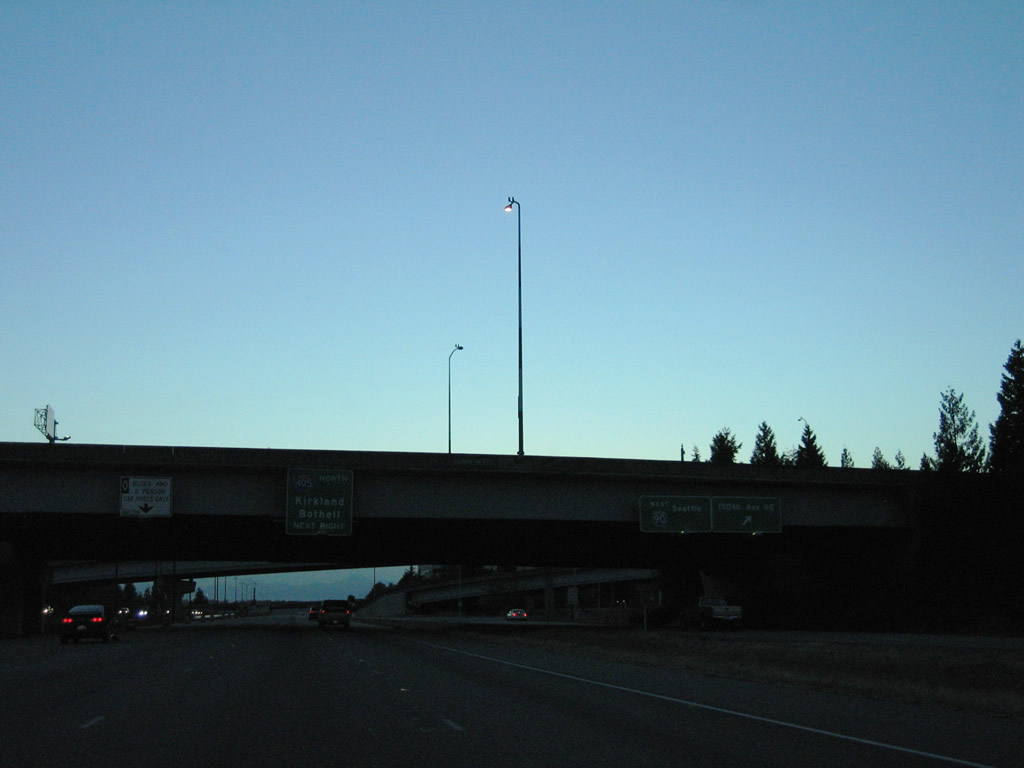
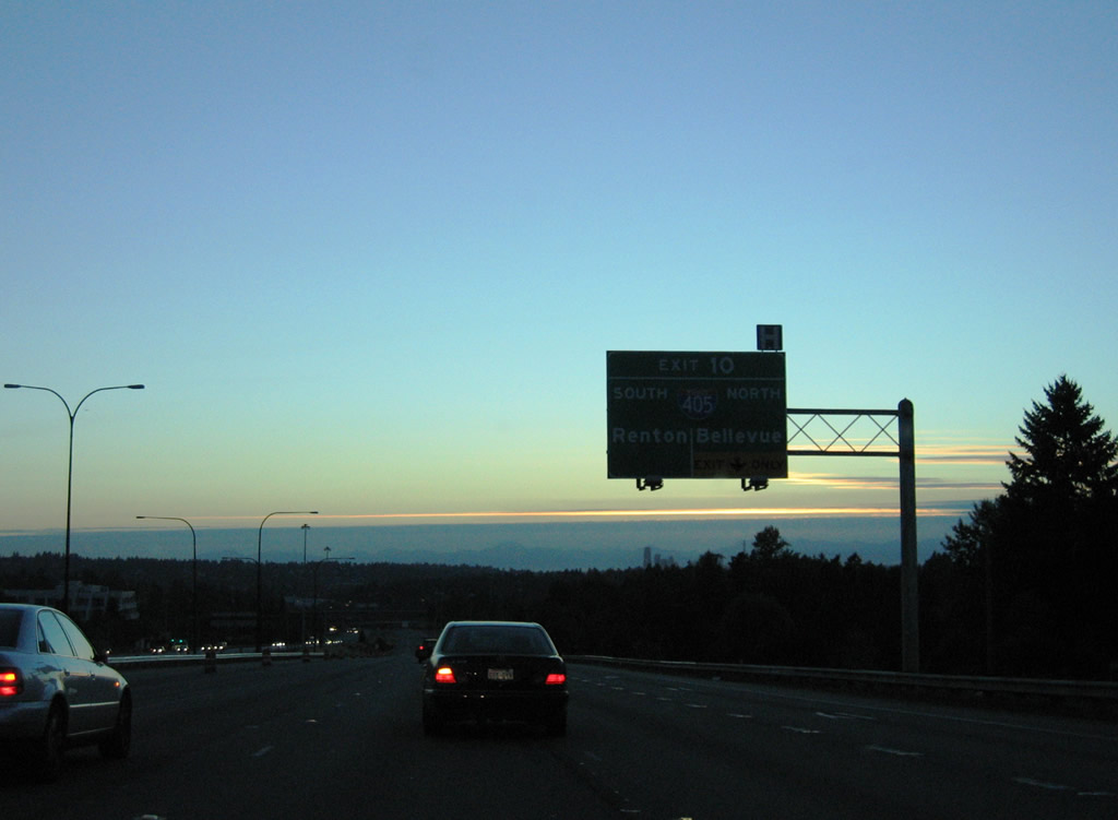
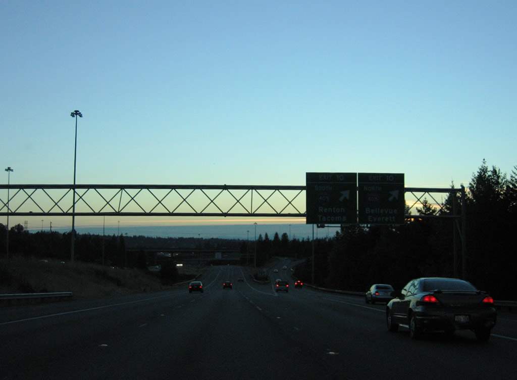
| I-90 west lowers to meet Interstate 405 opposite Mercer Slough at Exit 10. I-405 provides access to the Bellevue city center to the north and Newcastle to the south. 08/28/06 |
|
| Interstate 405 constitutes a commuter route north to Bothell and I-5 / SR 525 south of Everett and south to Renton and I-5 / SR 518 near Seattle-Tacoma International Airport (SEA). 08/28/06 |
|
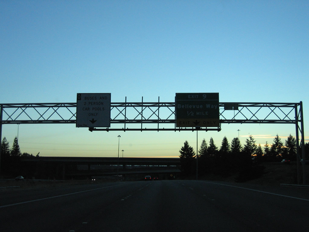
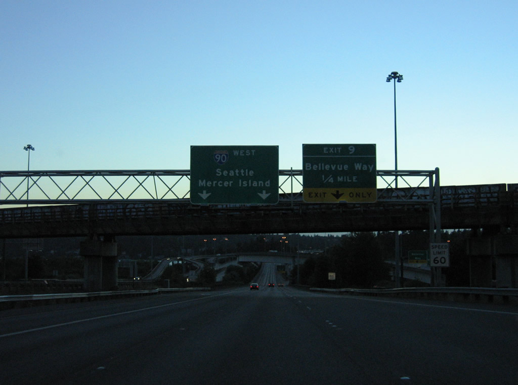
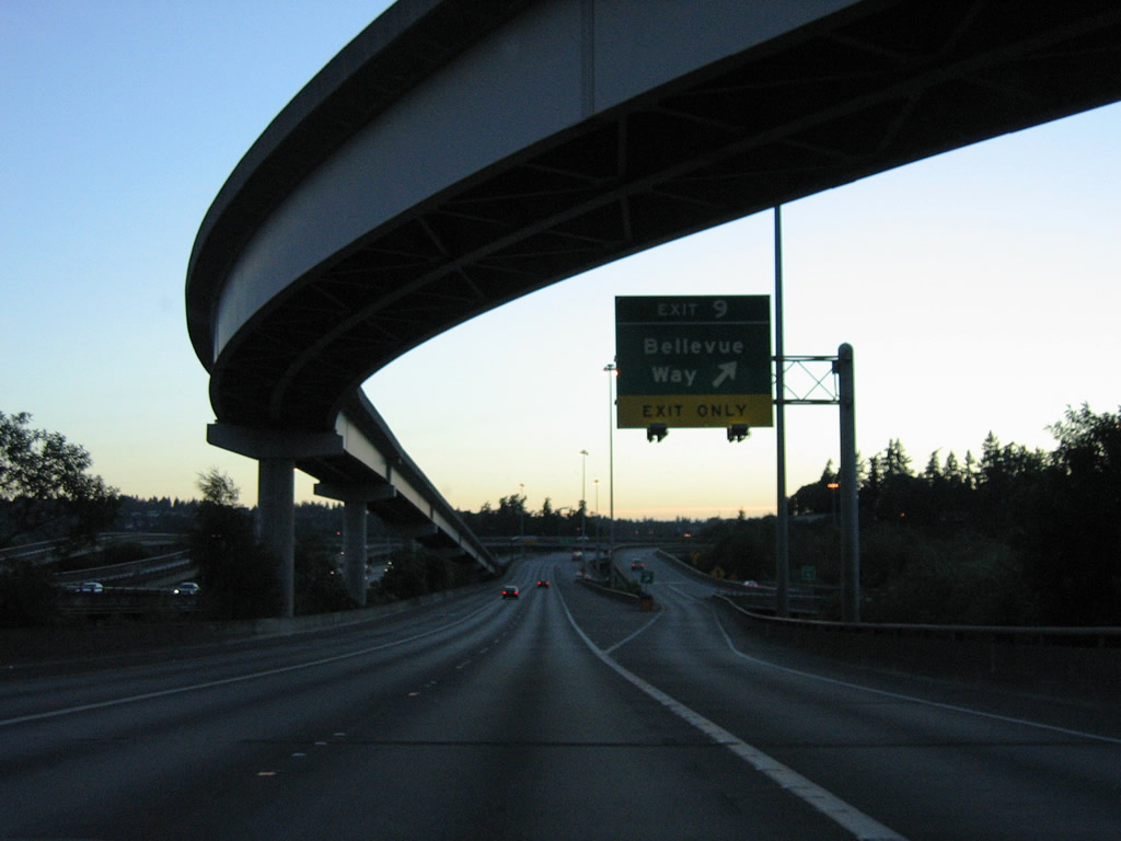
| Exit 9 leaves I-90 just west of I-405 and 118th Avenue SE to Bellevue way north to Beaux Arts Village and West Bellevue. 08/28/06 |
|
| Interstate 90 travels on the second level of the systems interchange with I-405. 08/28/06 |
|
| An abandoned BNSF Railroad line passes over Interstate 90 west a quarter mile ahead of the slip rmap (Exit 9) to Bellevue Way. Bellevue Way extends northward to the Bellevue central business district. 08/28/06 |
|
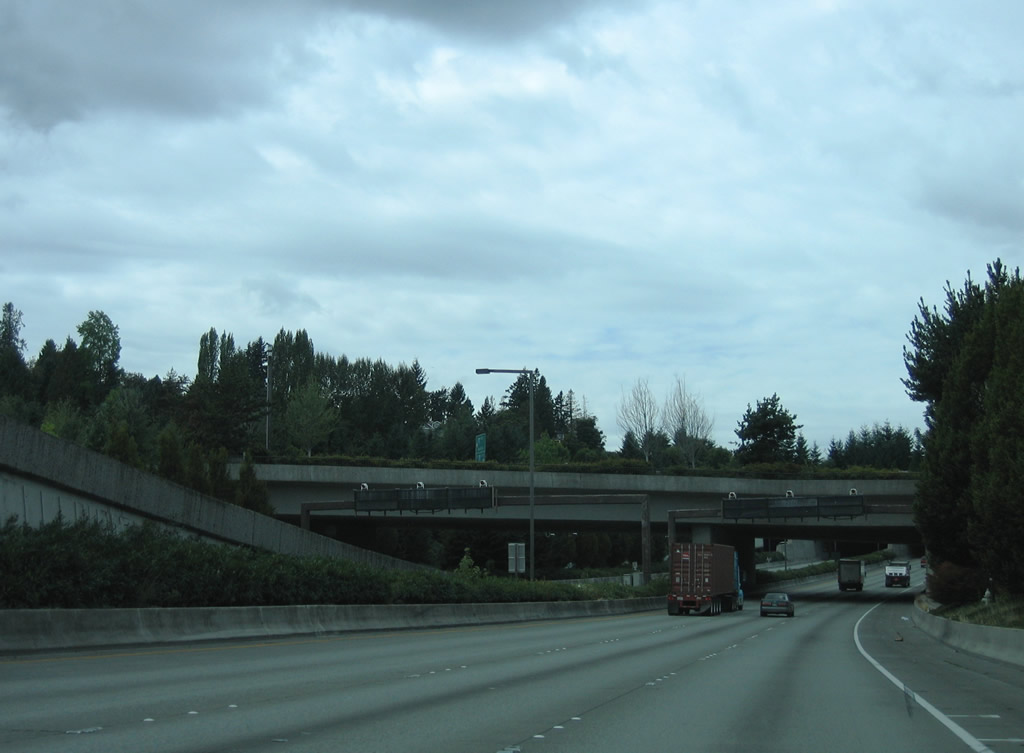
| A flyover ramp connects I-405 south with left lane of Interstate 90 west, one mile from the former Express Lanes. Replaced with mass transit, the Express Lanes ran 7.51 miles west from Bellevue Way to Seattle. 08/28/06 |
|
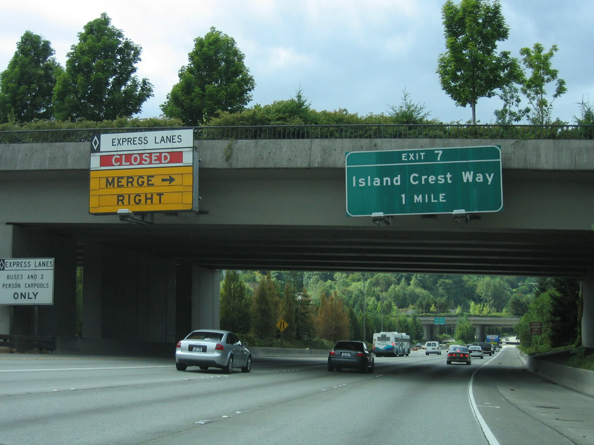
| Mainline access to the Interstate 90 Express Lanes was not available until after the E Mercer Way lid on Mercer Island. 08/29/06 |
|
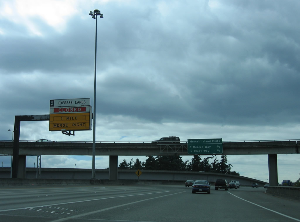
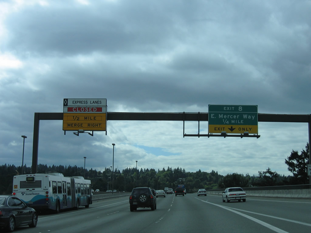
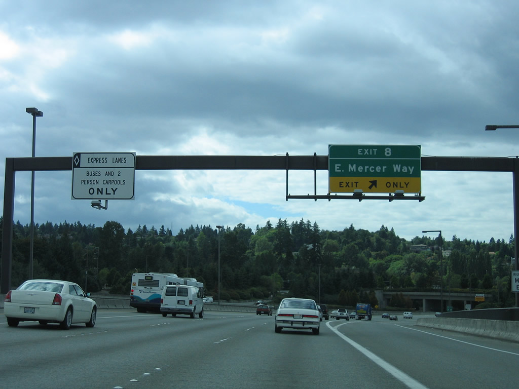
| Exit 8 joins I-90 with E Mercer Way followed by Exit 7 with Island Crest Way in the city of Mercer Island. 08/29/06 |
|
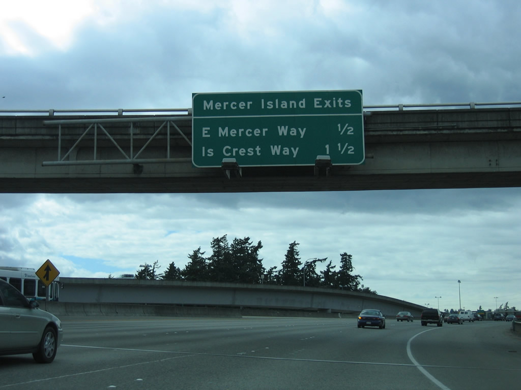
| Interstate 90 spans Lake Washington over the East Channel ahead of a modified diamond interchange (Exit 8) with E Mercer Way. Encircling Mercer Island, Mercer Way heads south to Pioneer Park as E Mercer Way and west to Luther Burbank Park as N Mercer Way. 08/29/06 |
|
| Exit 8 departs from I-90 over the East Channel to E Mercer Way. E Mercer Way connects the freeway with parallel SE 36th Street west to N Mercer Way. 08/29/06 |
|
| Interstate 90 west at the E Mercer Way lid. Exit 7 follows to Island Crest Way south. 08/29/06 |
|
| N Mercer Way stems northwest from SE 36th Street across Interstate 90 at the second lid westbound in Mercer Island. 08/29/06 |
|
| A vintage shield for Interstate 90 was posted beyond the entrance ramp from E Mercer Way and the N Mercer Way lid. The assembly was removed during 2007 construction to add a new HOV lane to 80th Avenue SE. 08/29/06 |
|
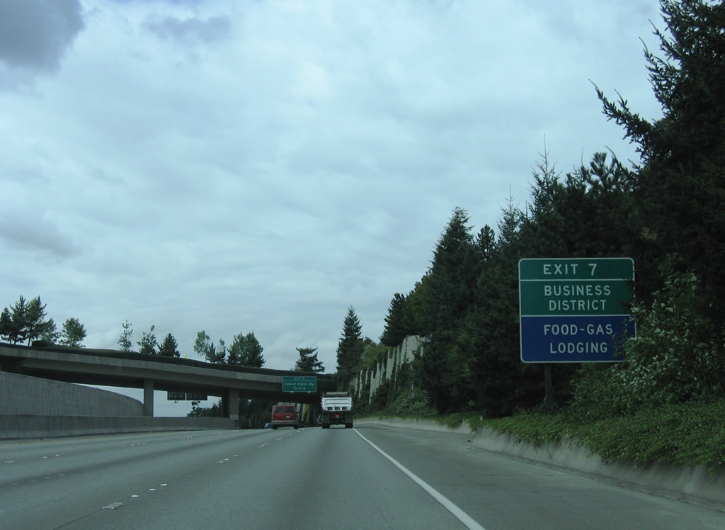
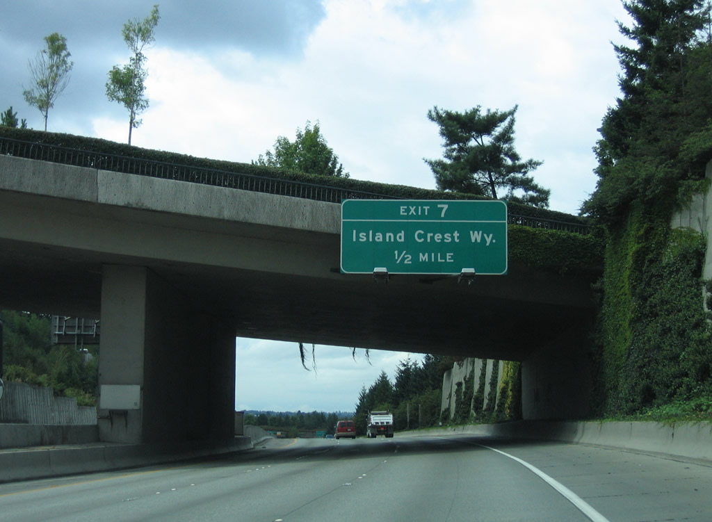
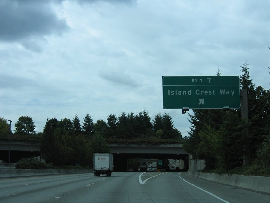
| Exit 7 connects I-90 west with Island Crest Way south from parallel N Mercer Way. The Mercer Island central business district lies west of Island Crest Way and south of Interstate 90. 08/29/06 |
|
| I-90 advances a half mile west to the split diamond interchange (Exit 7) with N Mercer Way at the Shorewood Drive lid. 08/29/06 |
|
| Exit 7 leaves Interstate 90 west at the lid supporting Luther Burbank Park. Island Crest Way runs south from N Mercer Way and SE 26th Street at the park. 08/29/06 |
|
| Ramps formerly linked the Express Lanes with 80th Avenue SE from westbound and 77th Avenue SE from eastbound. 08/29/06 |
|
| Interstate 90 west at the 76th Avenue SE lid. 08/29/06 |
|
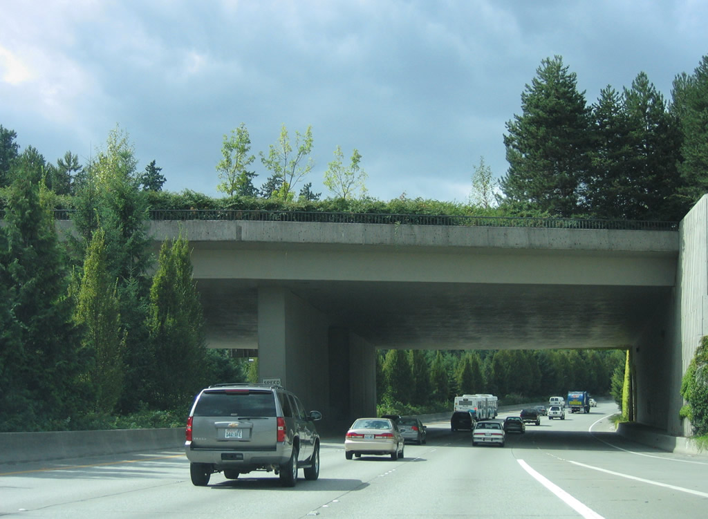
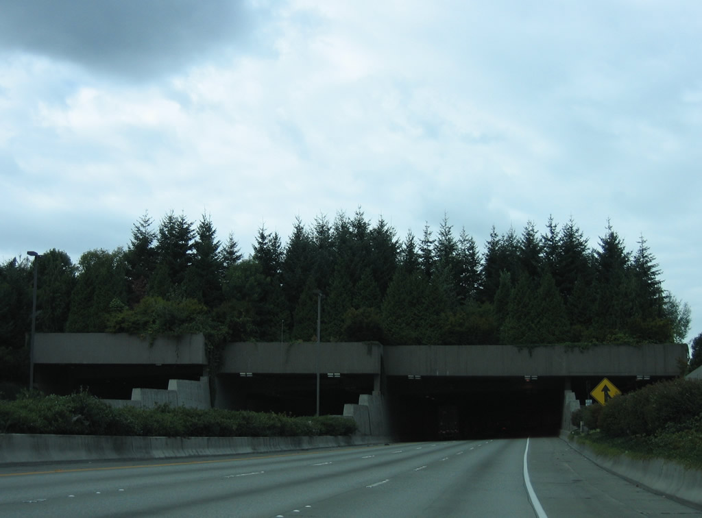
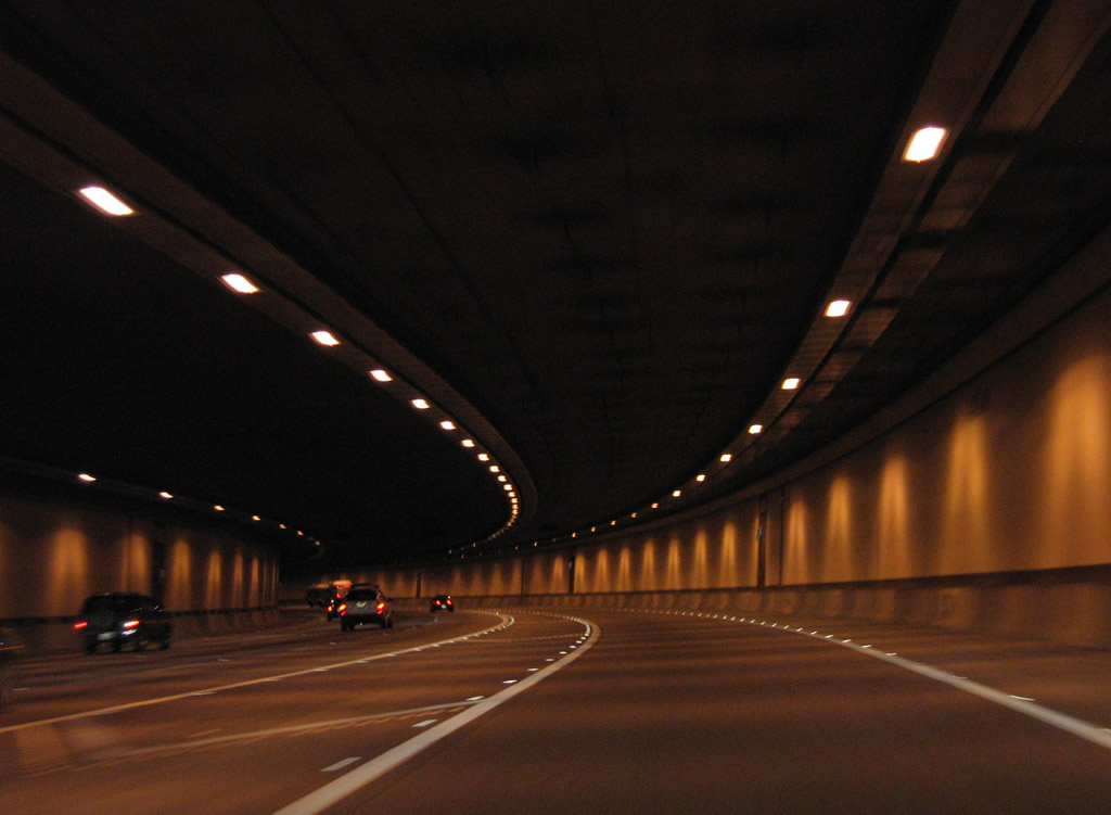
| West from 76th Avenue SE, I-90 continues through a tunnel supporting Aubrey Davis Park, 72nd Avenue SE and W Mercer Way at First Hill. 08/29/06, 08/28/06 |
|
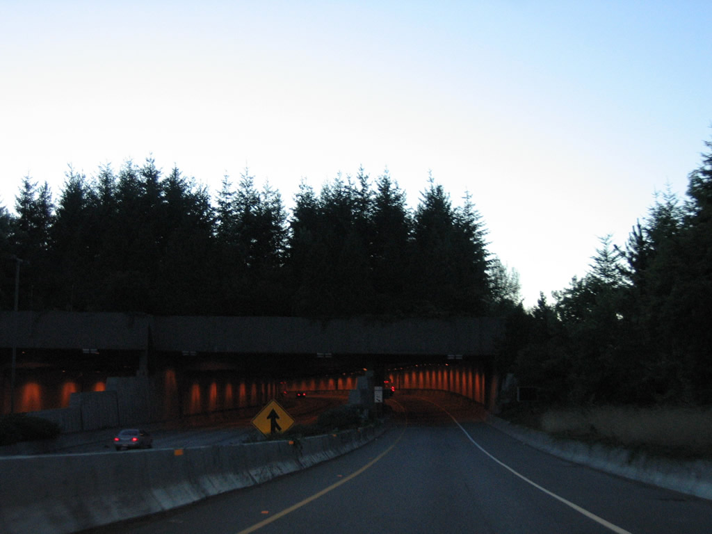
| Interstate 90 arcs a half mile below Aubrey Davis Park (Mercer Island Lid). 08/28/06, 08/29/06 |
|
| West from Aubrey Davis Park, Interstate 90 spans 60th Avenue SE and crosses Lake Washington. The Express Lanes was a reversible roadway to the Mt. Baker Tunnel and Interstate 5. 08/29/06 |
|
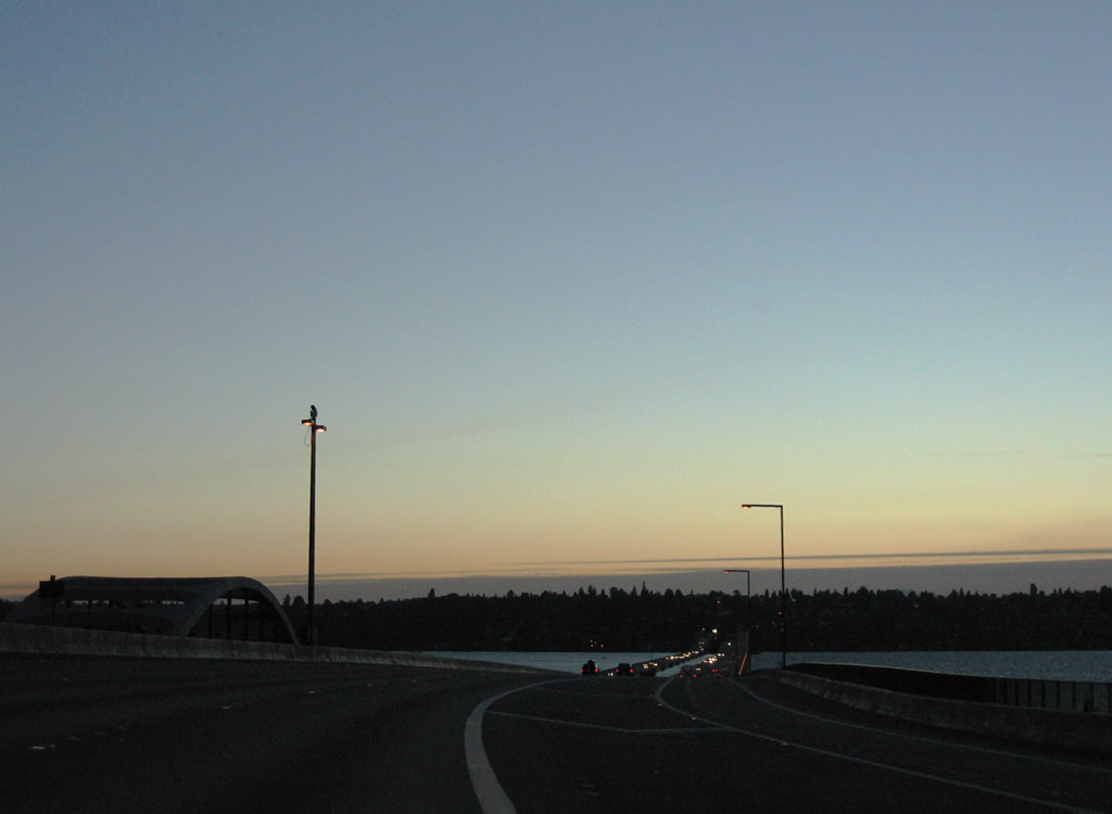
| Interstate 90 descends from a fixed span over the east navigation channel of Lake Washington onto the Homer M. Hadley Memorial Bridge. 08/28/06 |
|
| 5,811 feet in length, the Hadley Bridge accommodates three general travel lanes, an HOV lane and mass transit in place of the former Express Lanes. Utilizing floating bridges between the two navigation channels, the span opened on June 4, 1989.1 08/29/06 |
|
| Also comprises of floating bridges between the two navigation channels, eastbound Interstate 90 crosses Lake Washington over the Murrow Memorial Bridge that opened in 1993. 08/29/06 |
|
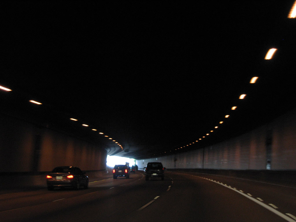
| The former Interstate 90 Express Lanes lowered from the Homer M. Hadley Memorial Bridge to run beneath the westbound mainline through the Mt. Baker Tunnel. 08/29/06 |
|
| The first crossing of Lake Washington opened in 1940 as a part of U.S. 10. That bridge remained in service carrying eastbound Interstate 90 until its collapse on November 25, 1990.2 08/29/06 |
|
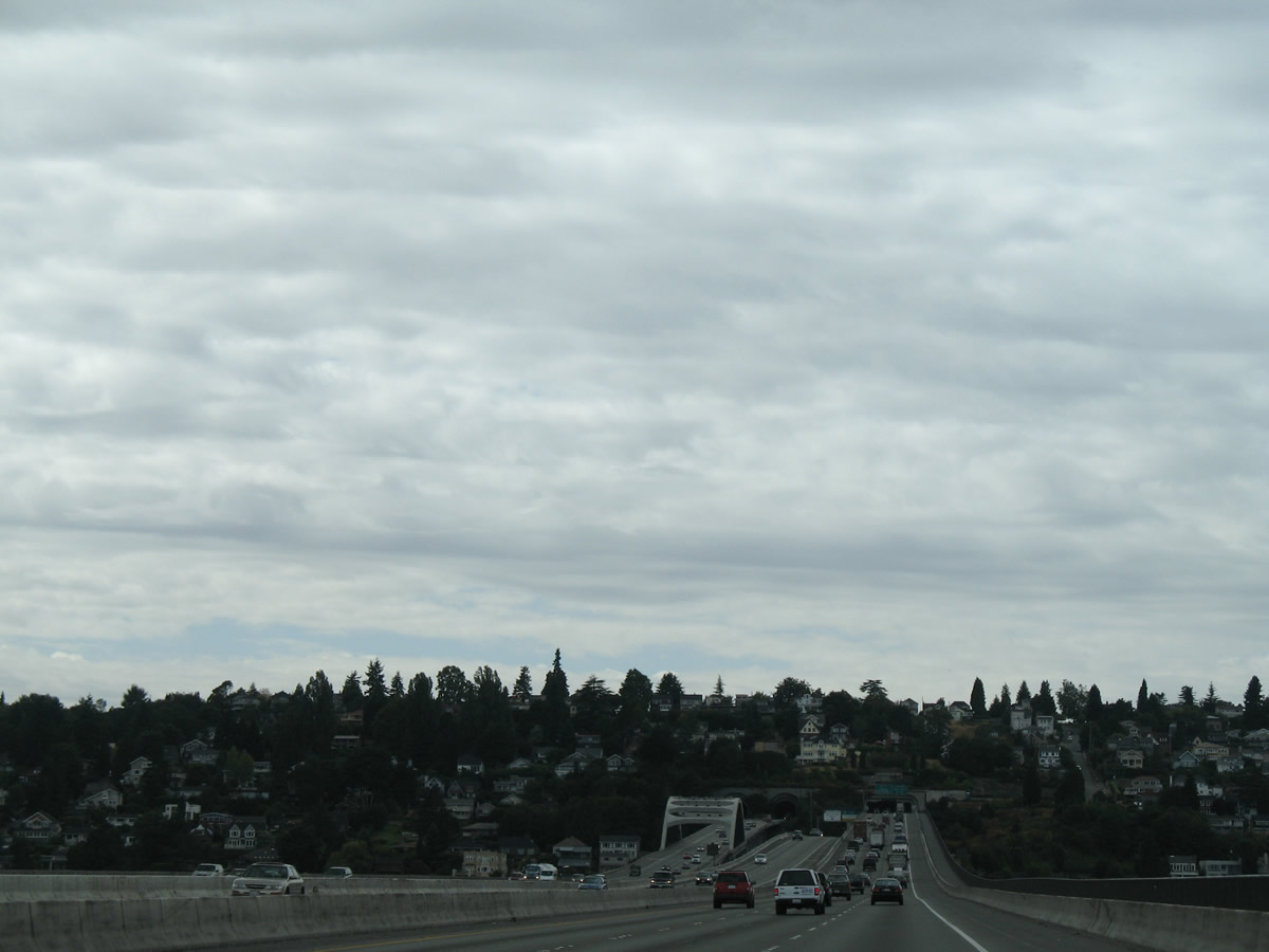
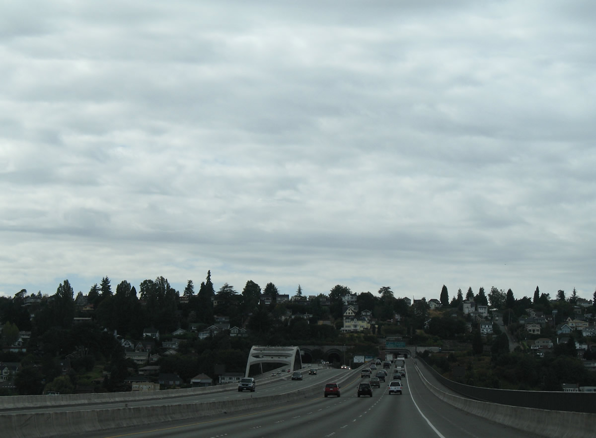
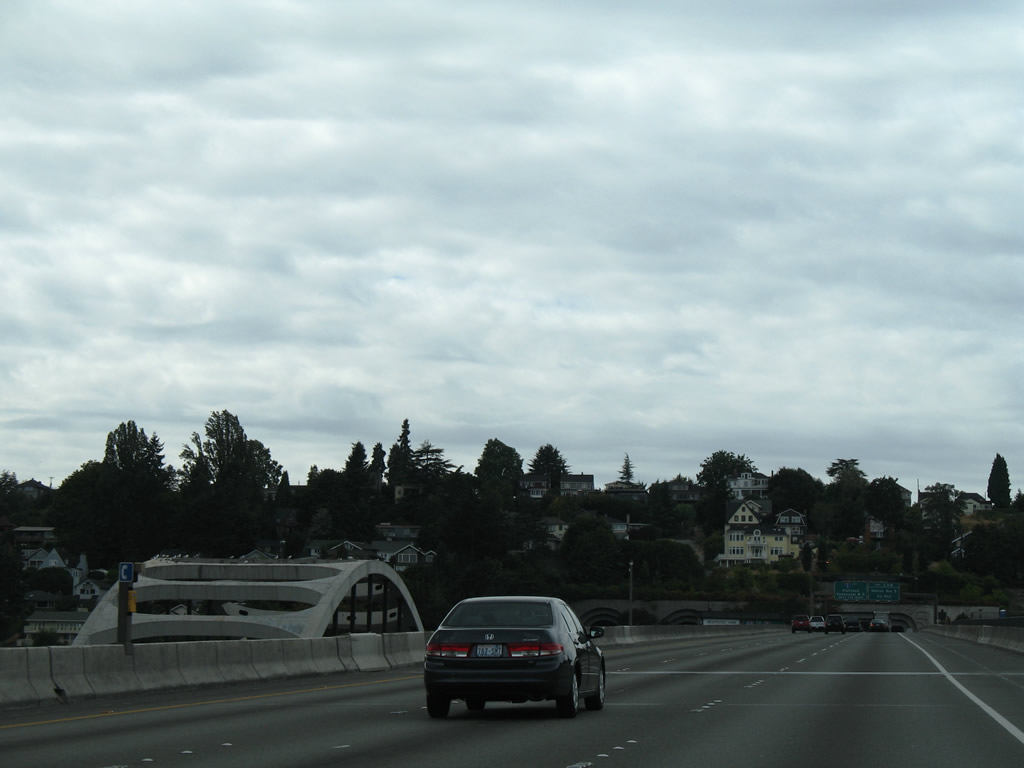
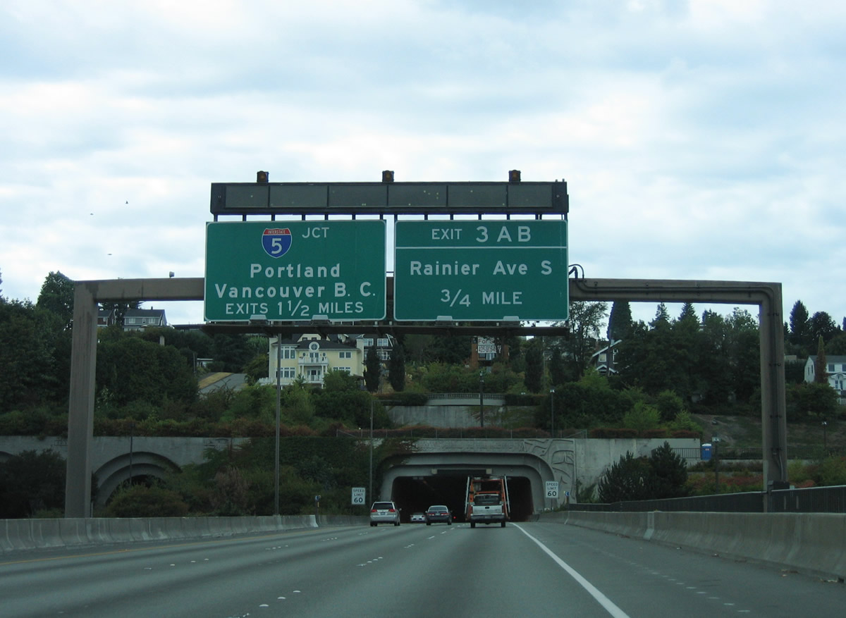
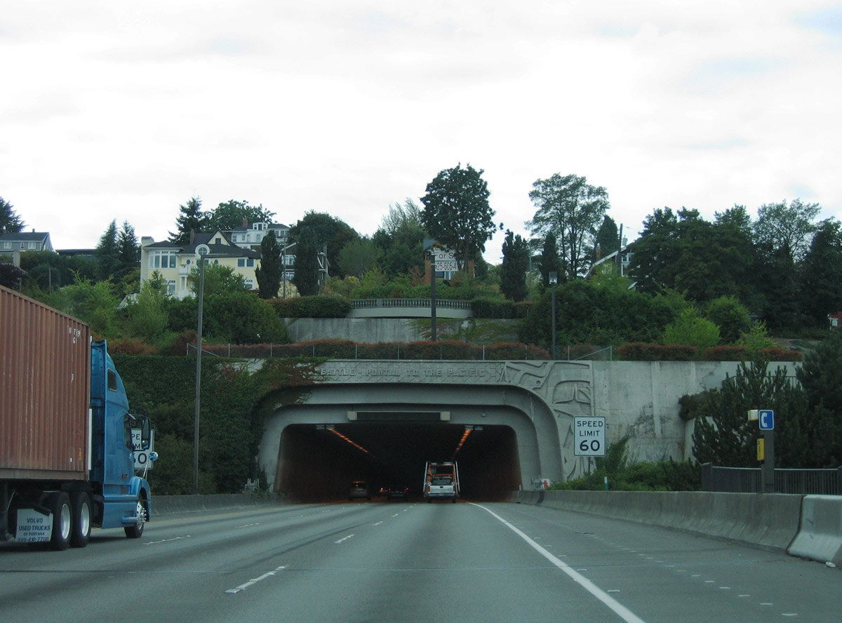
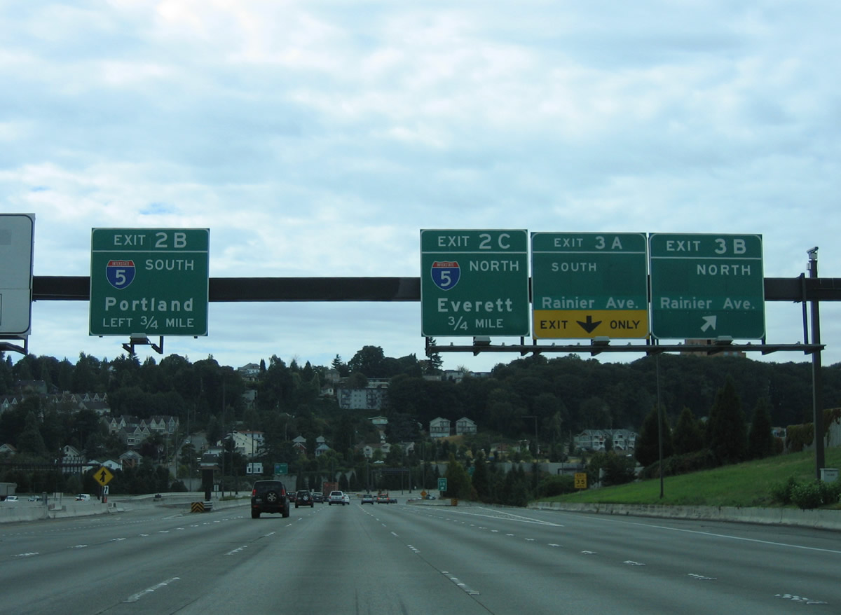
| Exit 3 departs from I-90 beyond Mt. Baker Tunnel to Rainier Avenue S. A systems interchange joins I-90 with I-5 at Exits 2 C/B in 1.5 miles. 08/29/06 |
|
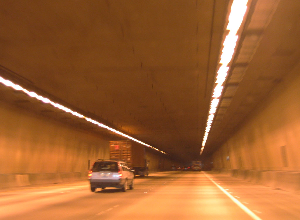
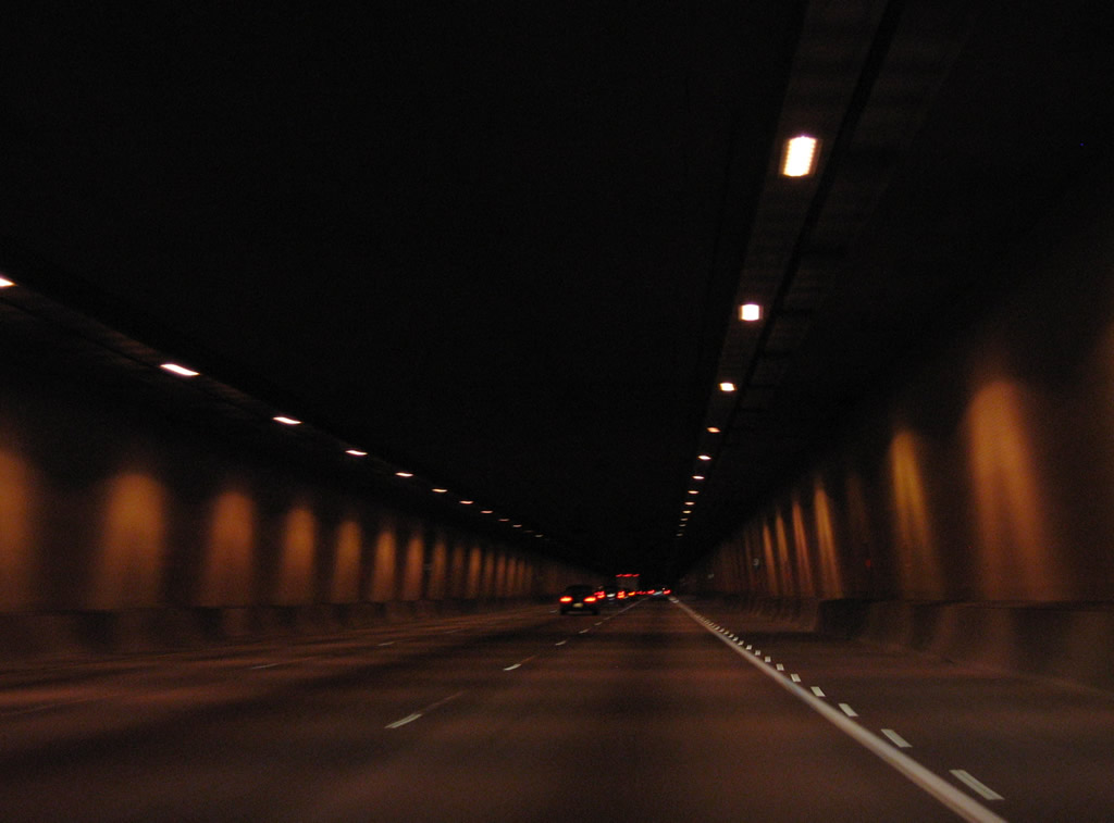
| Measuring 1,440 feet in length, the Mount Baker Tunnel was built in 1940. It originally accommodated four lanes for U.S. 10. Expansion of the tunnel with a third bore occurred in 1993 as part of the upgrade to Interstate 90.3 08/29/06 |
|
| Interstate 90 continues with four westbound lanes through the bore added to Mt. Baker Tunnel in 1993. 08/29/06, 08/28/06 |
|
| Rainier Avenue angles northwest from Exit 3 A to become Boren Avenue at the International District and Yesler Terrace. Rainier Avenue was part of SR 900 south from I-90 to Martin Luther King, Jr. Way at I-5 until April 1, 1992.4 08/29/06 |
|
| Southeast from Exit 3 A, Rainier Avenue S heads to Mt. Baker and Martin Luther King, Jr. Way, where SR 167/900 once separated. 08/29/06 |
|
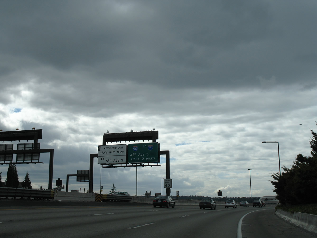
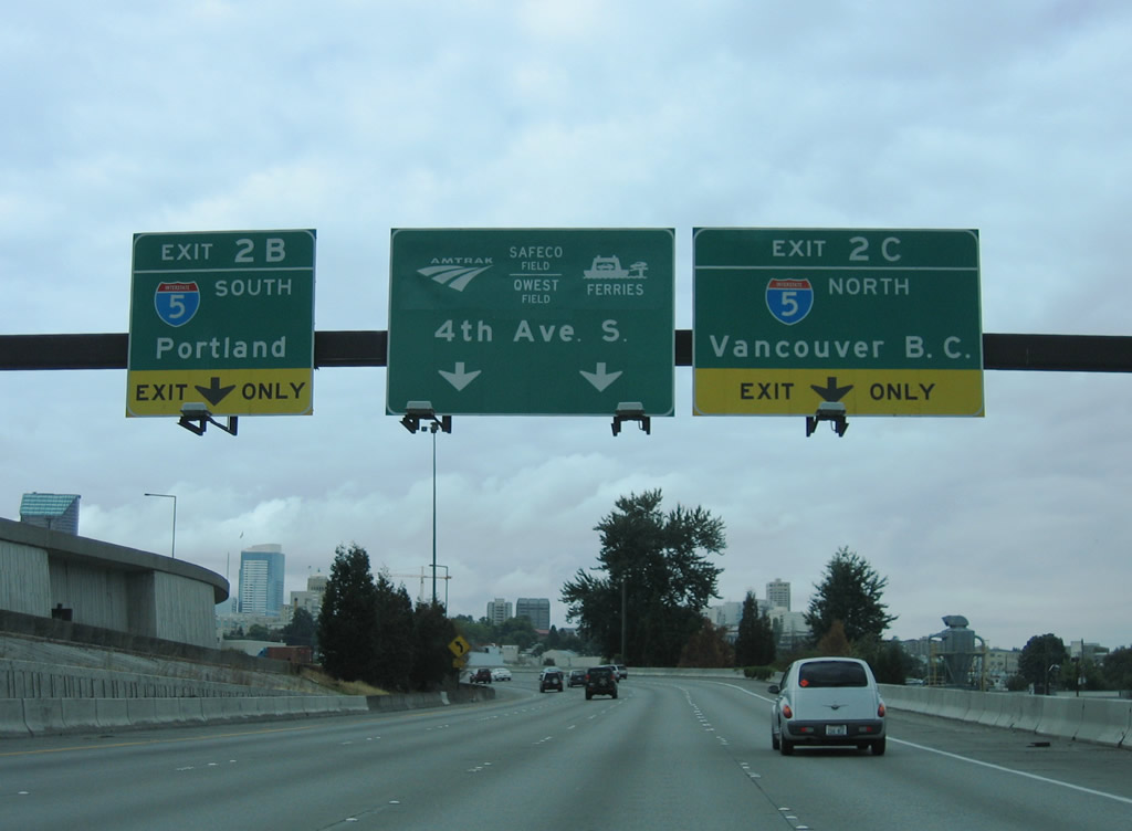
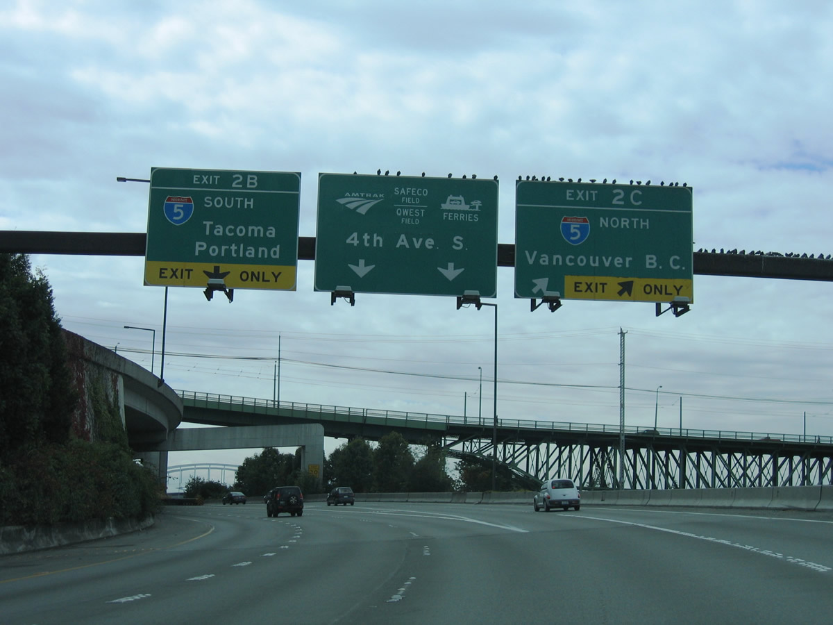
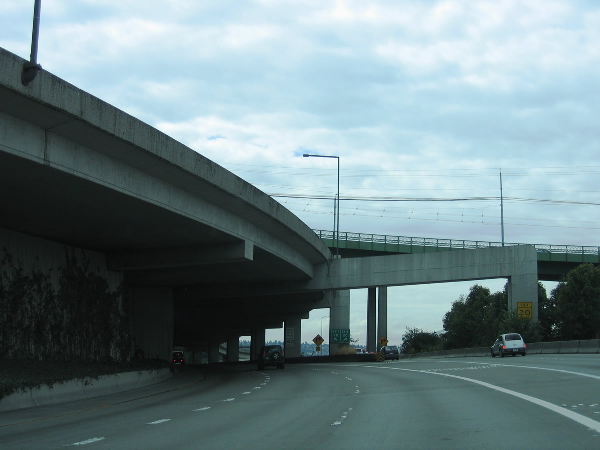
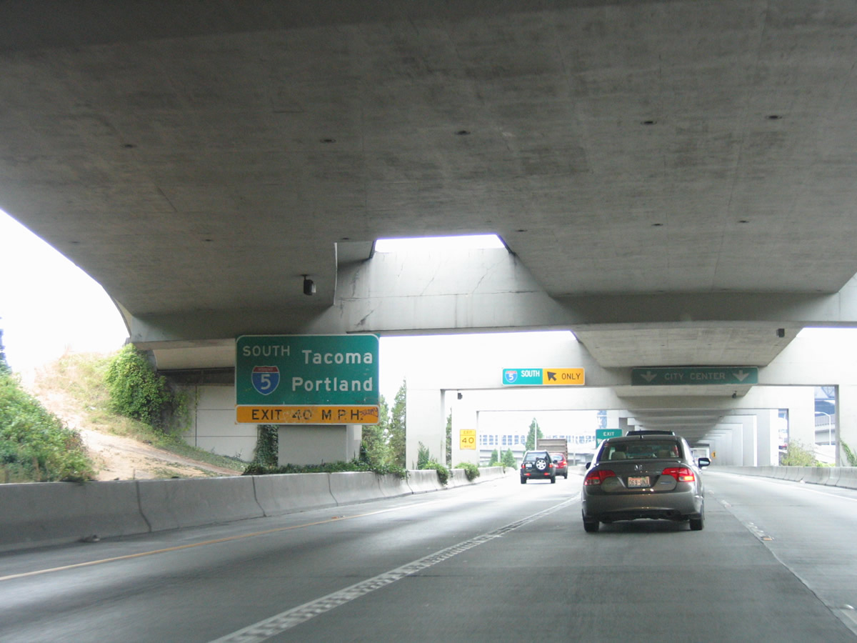
| I-90 curves northward around Beacon Hill to Exits 2 C/B for Interstate 5. I-5 links Downtown Seattle with the south suburbs of Tukwila, Kent and Federal Way. The center two lanes default onto the double deck freeway spurring west to 4th Avenue S by Lumen Field. 08/29/06 |
|
| The Downtown Seattle skyline comes into view along Interstate 90 at Beacon Hill. 08/29/06 |
|
| Two lanes separate at Exit 2 C ahead of the 12th Avenue S viaduct for Interstate 5 north to Everett, Bellingham, and Vancouver, British Columbia. 08/29/06 |
|
| Interstate 90 west travels below the eastbound roadway through the multi level exchange with I-5. The former Express Lanes paralleled to the north on a separate viaduct. 08/29/06 |
|
| Interstate 5 continues south from Seattle to Tacoma, Olympia and Portland, Oregon. 08/29/06 |
|
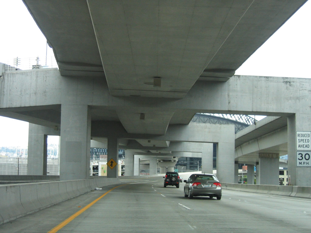
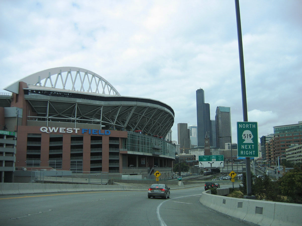
| Interstate 90 makes a northward turn at T-Mobile Park. A new ramp (Exit 2 A) was added by April 2010 to SR 519 (Edgar Martinez Drive) north for the WSDOT Seattle Ferry Terminal.5 08/29/06 |
|
| SR 519 extends 1.14 miles from the end of I-90 along 4th Avenue S, Edgar Martinez Drive / S Atlantic Street, and Alaskan Way. 08/29/06 |
|
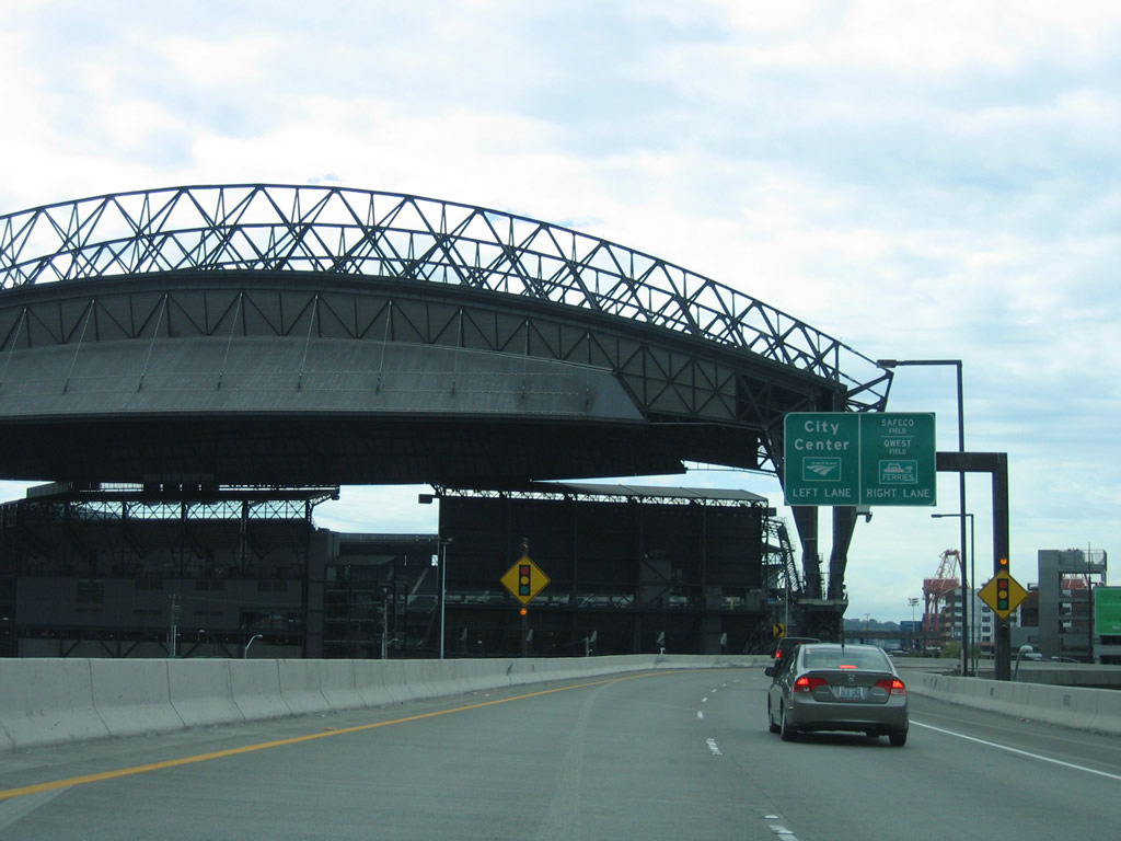
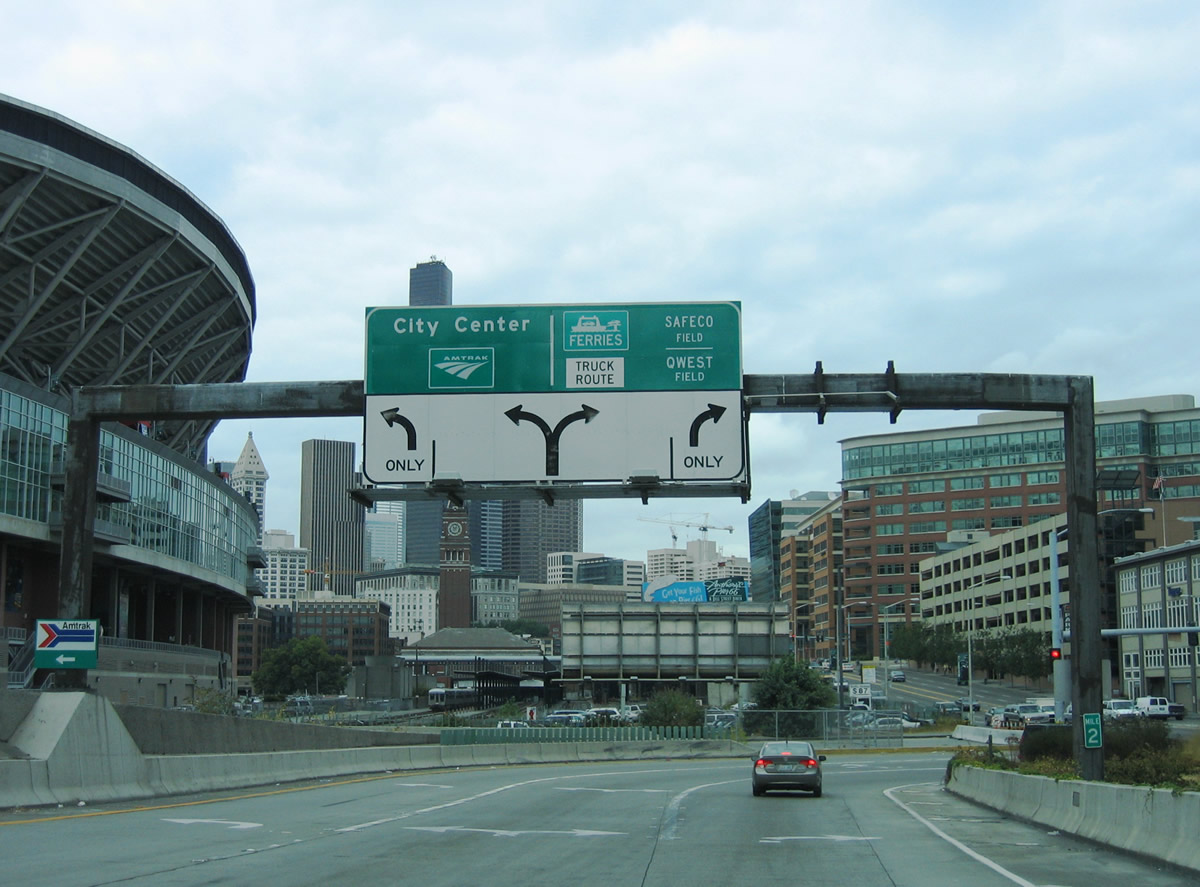
| A flyover takes Interstate 90 westbound over Royal Brougham Way to an intersection with 4th Avenue S / SR 519 north. 4th Avenue S leads north to Pioneer Square and the Seattle Central Business District. 08/29/06 |
|
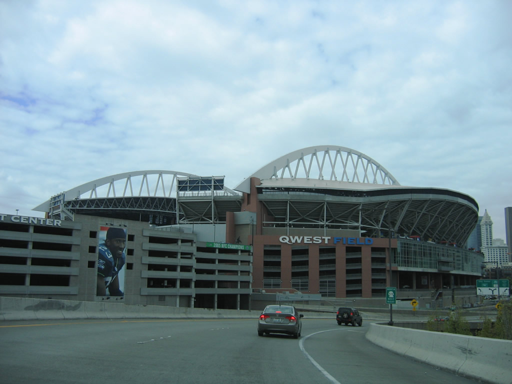
| Lumen Field, home of the Seattle Seahawks NFL franchise, lies north of T-Mobile Park by the west end of Interstate 90. 08/29/06 |
|
| An eastbound ramp formerly connected 4th Avenue S with I-90 adjacent to the flyover along westbound. The removal of that ramp coincided with addition of a flyover from the intersection of 4th Avenue S and Edgar Martinez Drive. 08/29/06 |
|
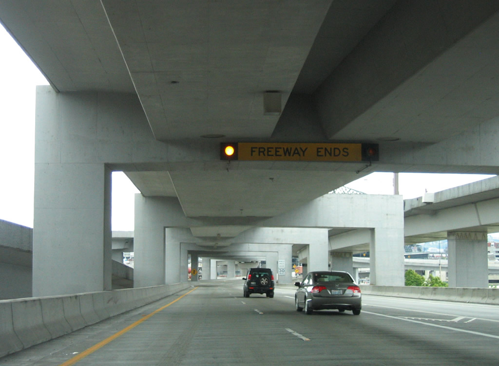
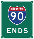
| I-90 ends at 4th Avenue S north to Downtown and south to the parking facilities for Lumen Field and T-Mobile Park. When U.S. 10 followed I-90, it was proposed further west to meet SR 99 along the old Alaskan Way Viaduct beyond 1st Avenue South at Royal Brougham Way. 08/29/06 |
|
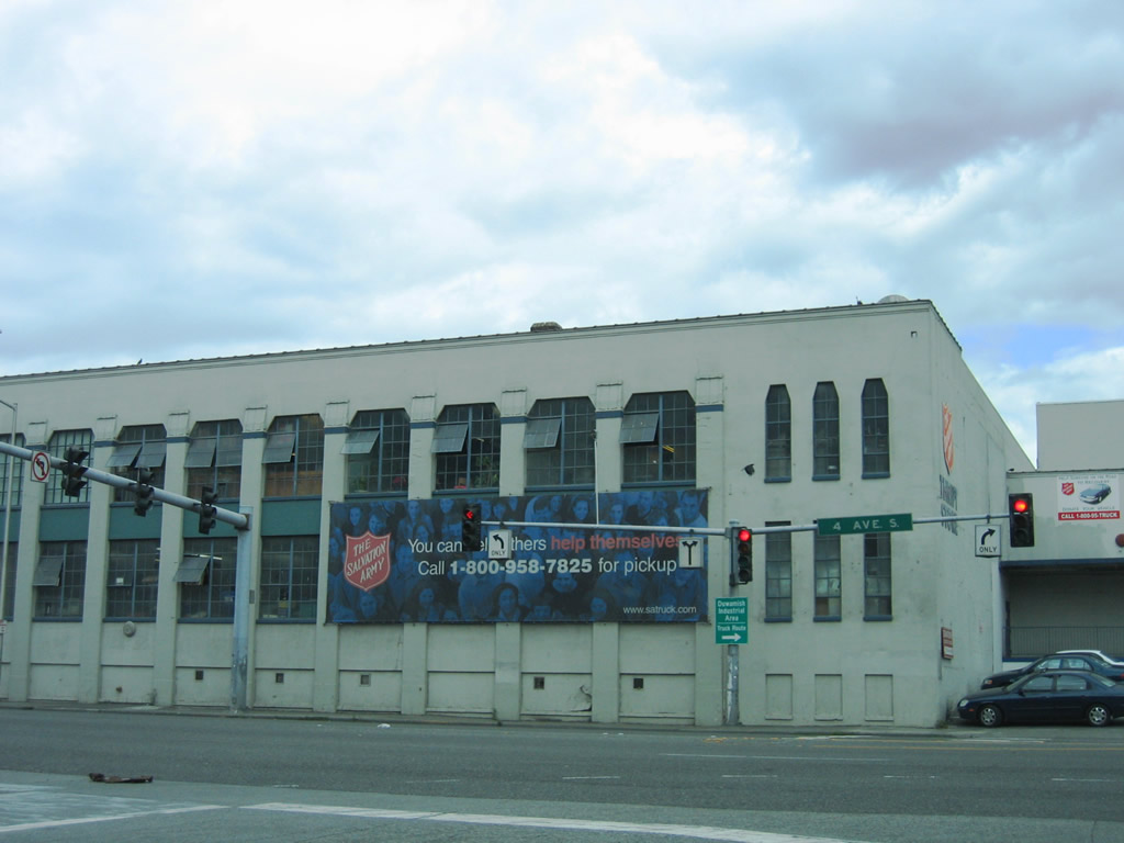
| 4th Avenue S continues south from Interstate 90 to the Duwamish Industrial Area. The Express Lanes tied into a five point intersection with 5th Avenue S, Dearborn Street, and Seattle Boulevard nearby. 08/29/06 |
Page Updated 11-04-2010.

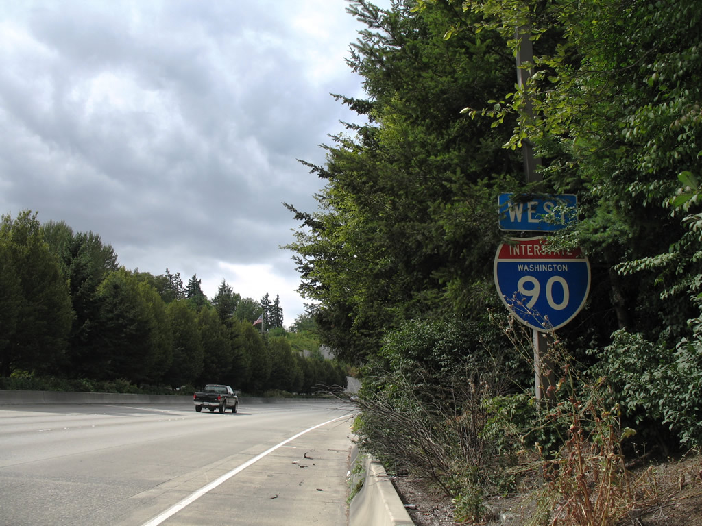
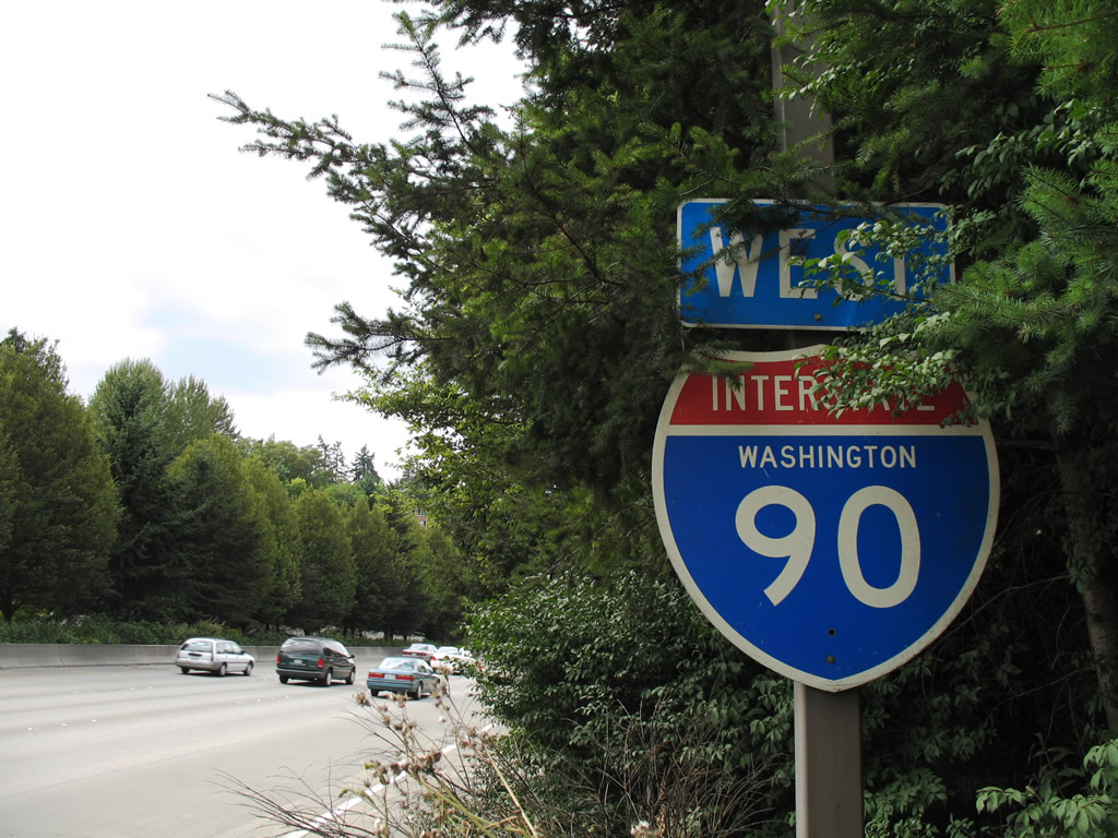
 West
West