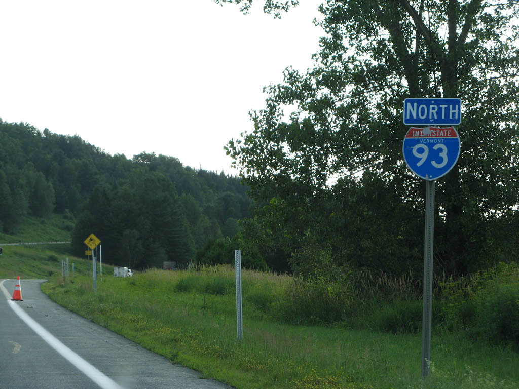
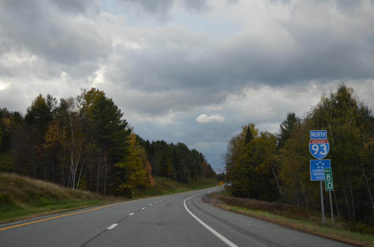
The northernmost stretch of Interstate 93 takes the freeway westward 11.10 miles through the Northeast Kingdom of Vermont, mostly parallel to VT 18. I-93 enters the state from the Connecticut River and arcs west through the town of Waterford to end at I-91 outside St. Johnsbury.
Interstate 93 was completed in Vermont on October 29, 1982 after 20 years of planning and lawsuits filed by various area agriculture groups. Work opened all 11 miles of freeway simultaneously.1
|
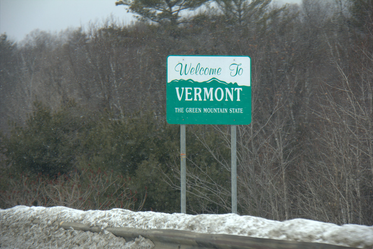
| Welcome to Vermont sign posted just north of the Connecticut River along Interstate 93 north. An 8.7 mile exit less stretch ensues. 03/02/15 |
|
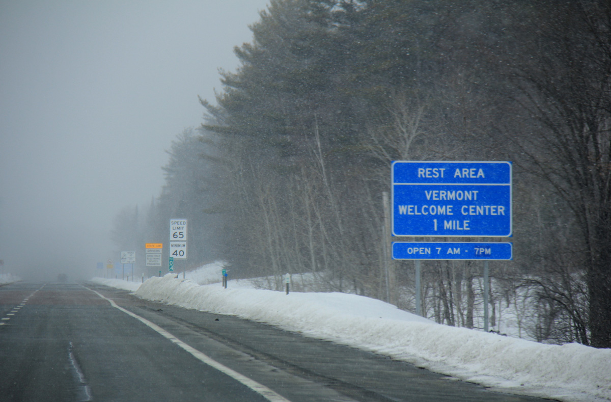
| A Vermont welcome center and rest area lines the northbound side of Interstate 93 to the east of Hurlburt Hill and south of Badger Mountain (el. 1,765 ft). 03/02/15 |
|
| Northbound Interstate 93 at the Vermont welcome center near Lower Waterford. 03/02/15 |
|
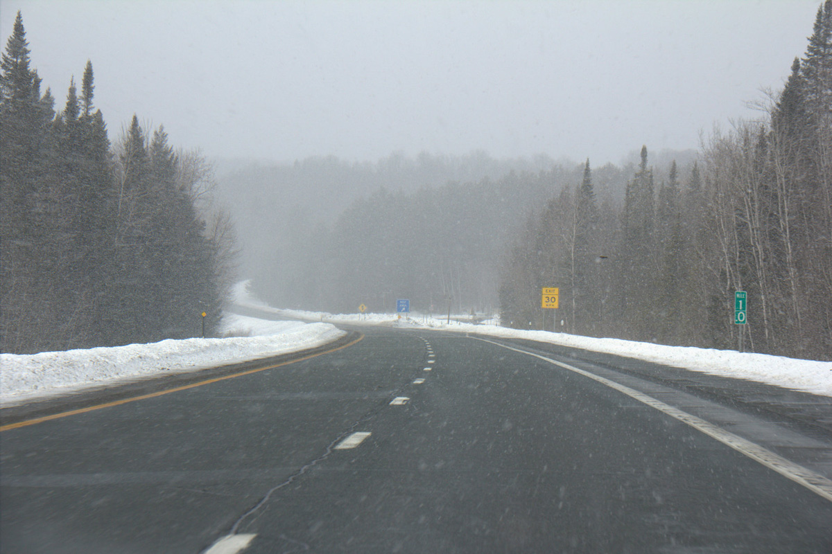
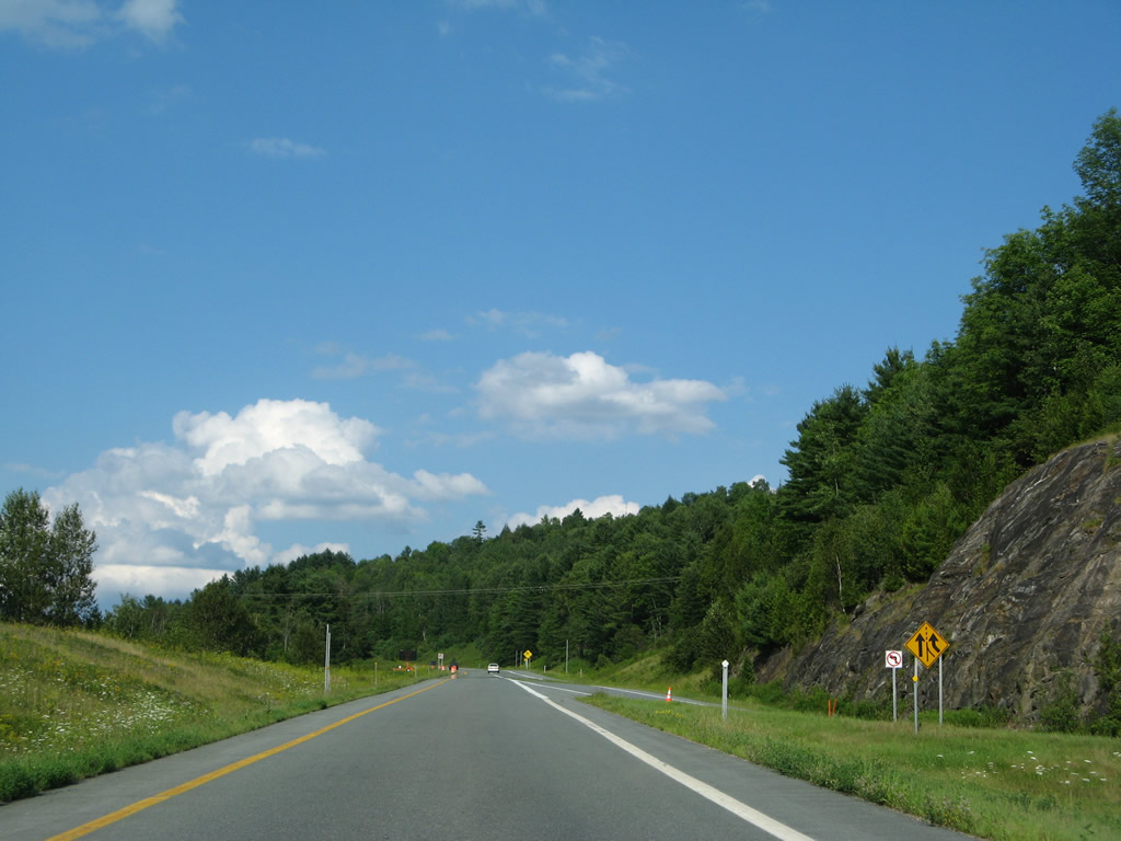
| The freeway cuts through a gap between Hurlburt Hill and Badger Mountain adjacent to VT 18 beyond the rest area. 03/02/15 |
|
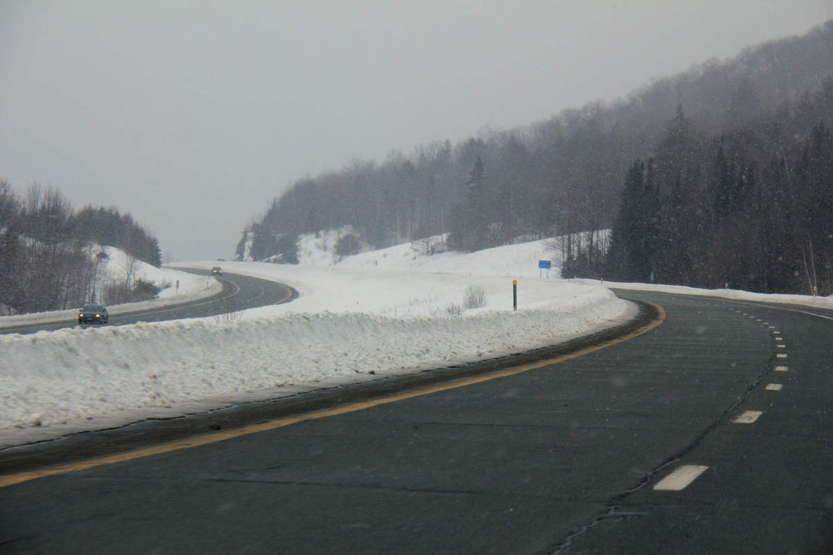
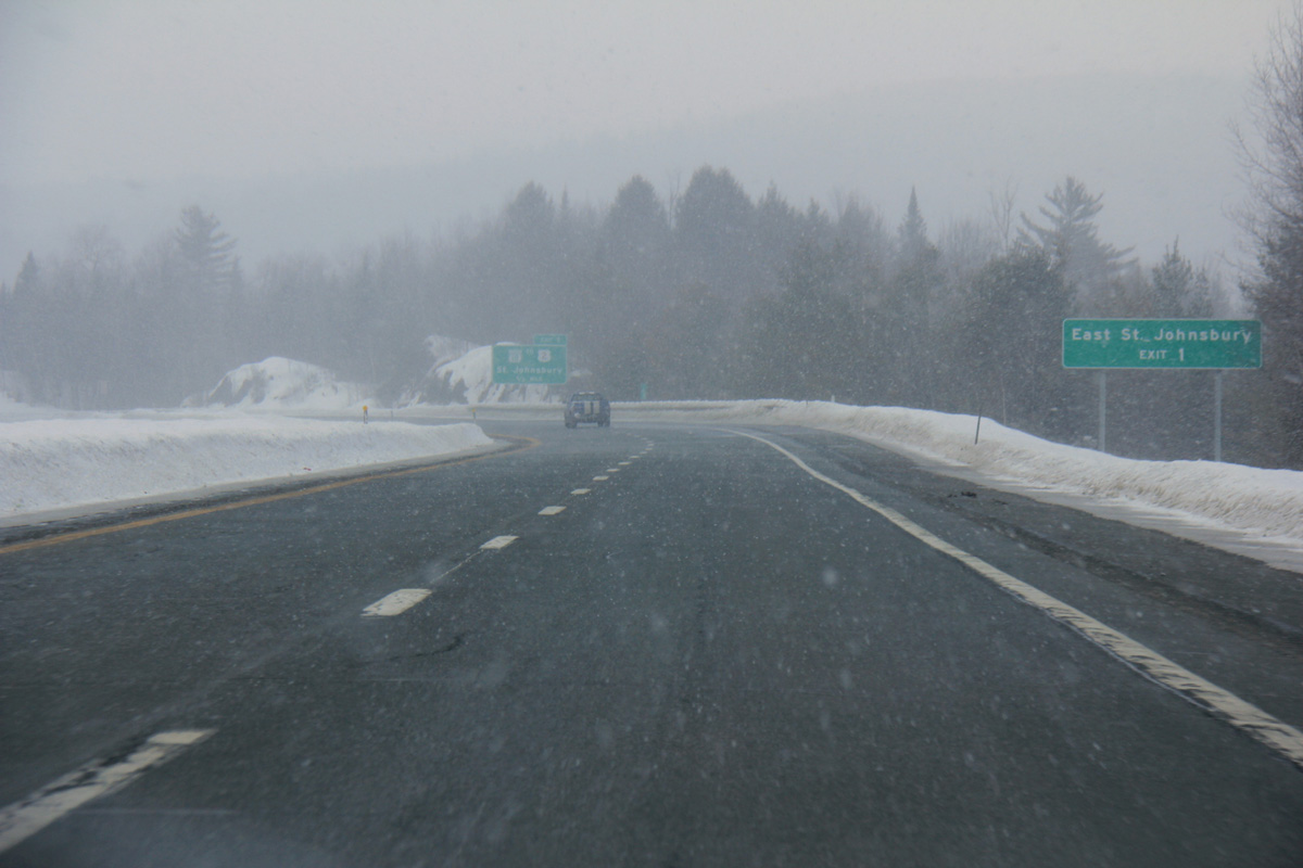
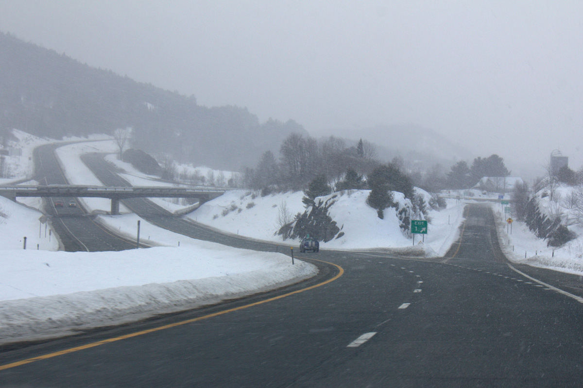
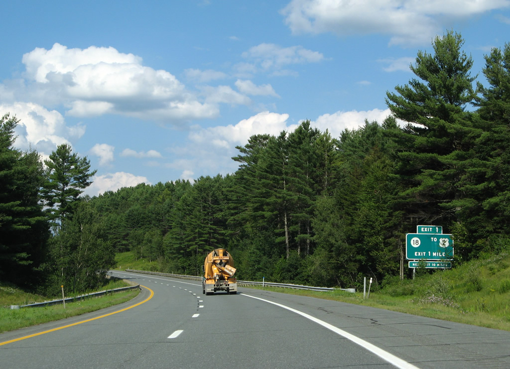
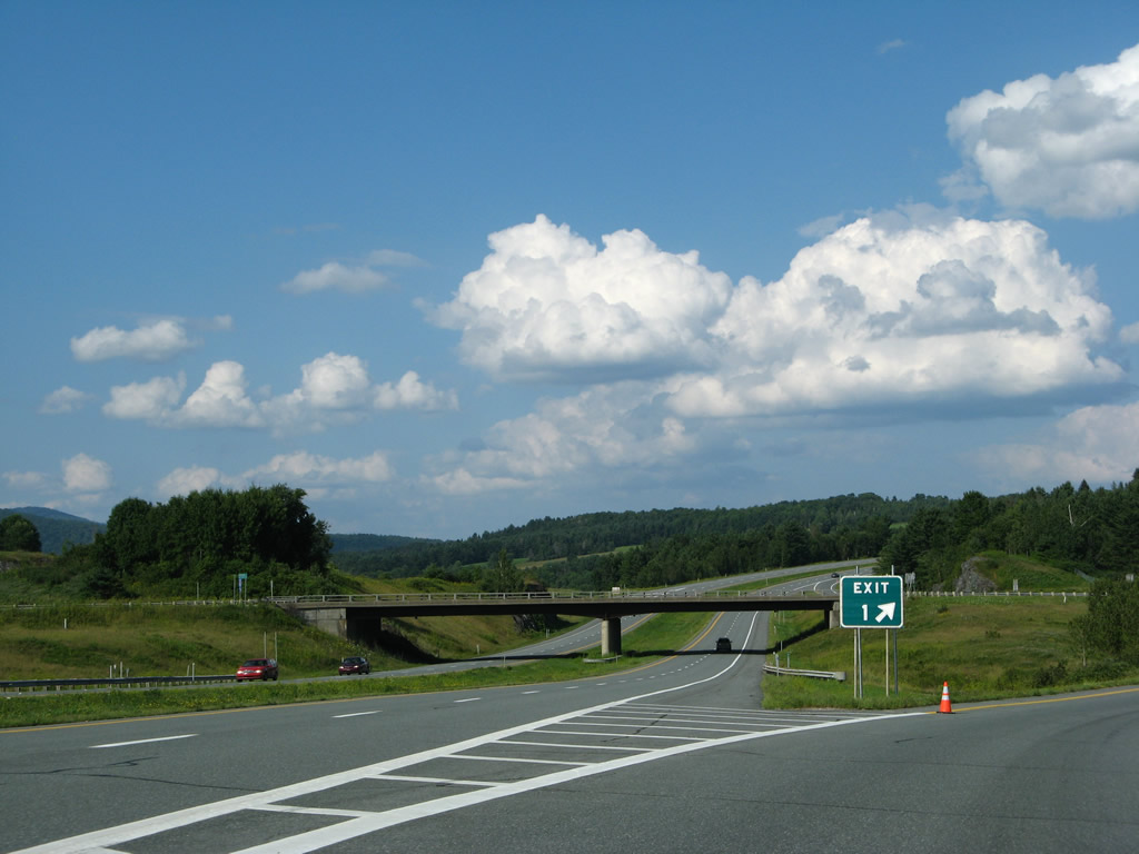
| Curving northwest around Stiles Pond, Interstate 93 approaches the diamond interchange (Exit 1) with VT 18. VT 18 concludes a 7.89 mile route at U.S. 2 (Portland Street), one mile west of East St. Johnsbury. 03/02/15 |
|
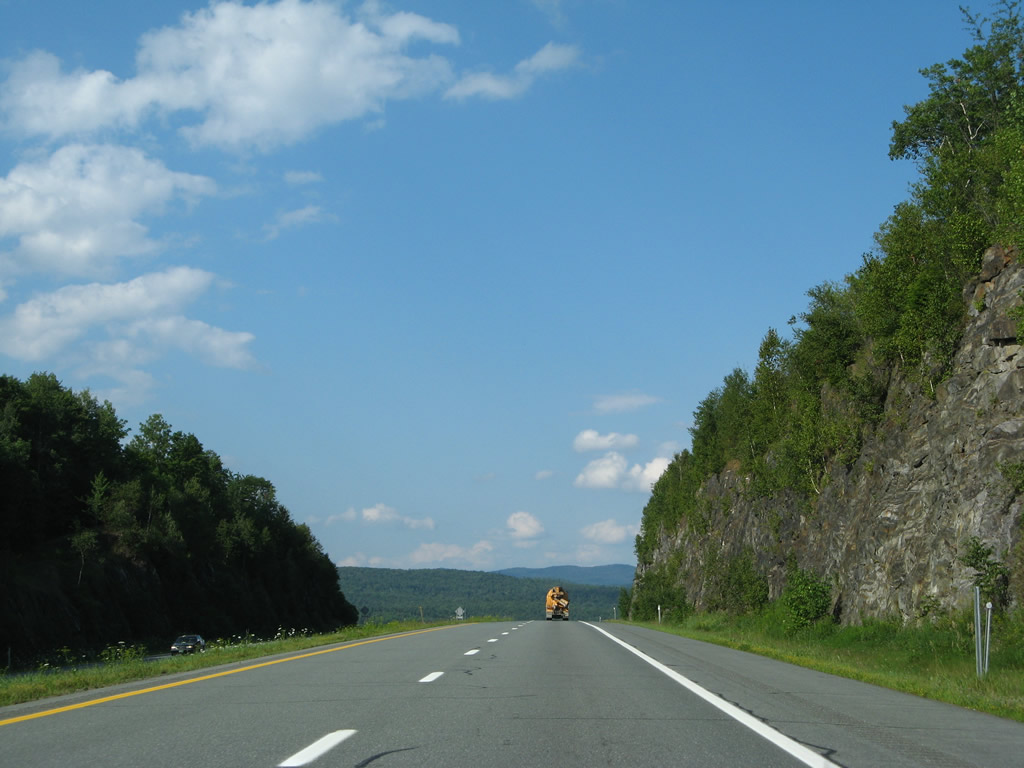
| The final push of Interstate 93 north faces southwest as the freeway hugs the north slopes of Fairbanks Mountain along the St. Johnsbury and Waterford town line. 03/02/15 |
|
| A resigning project undertaken in 2007 replaced the last state-named shield for Interstate 93 in Vermont. This marker is also the final northbound shield for the entire 190 mile route. 07/30/07, 10/08/14 |
|
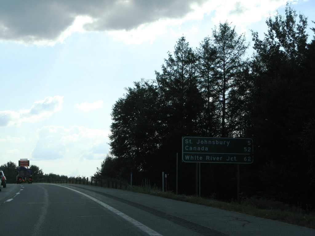
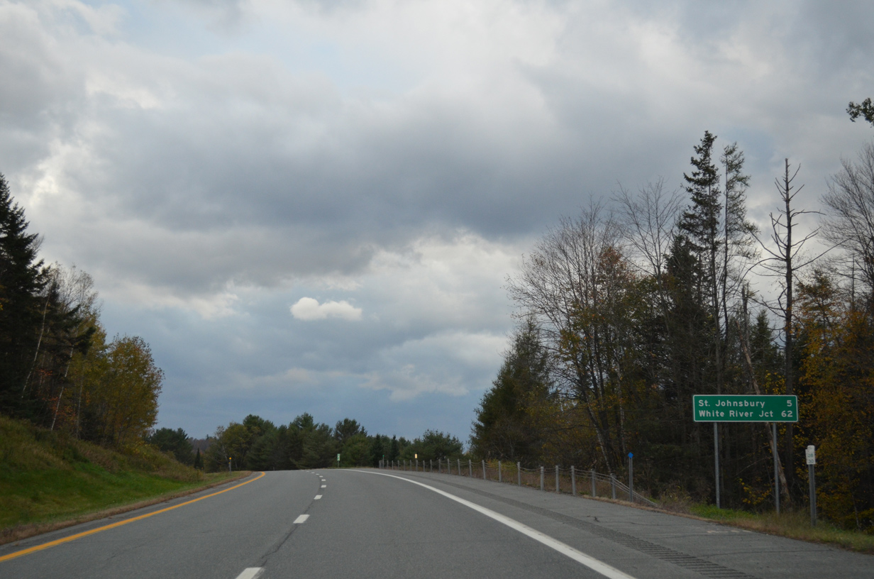
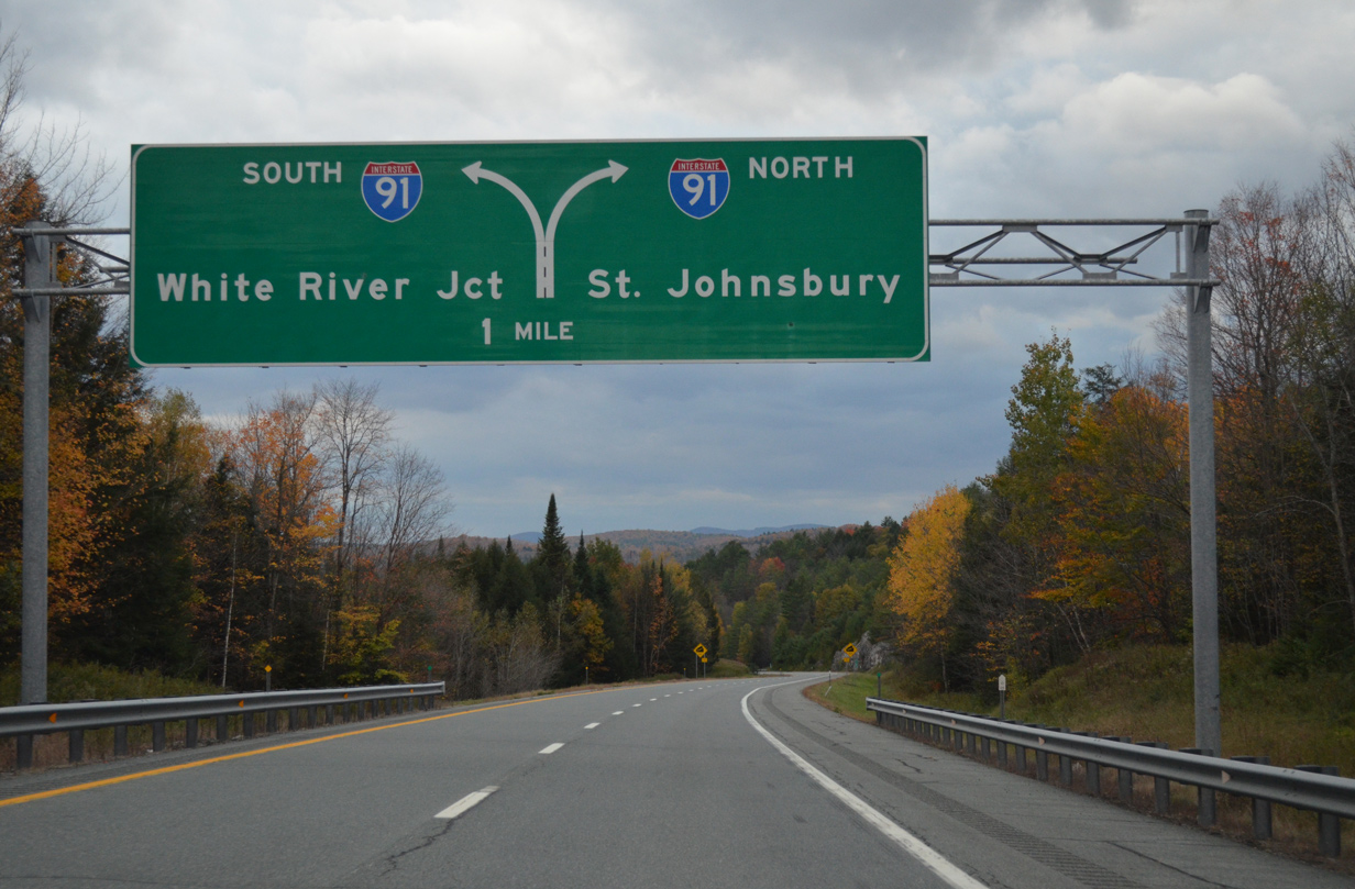
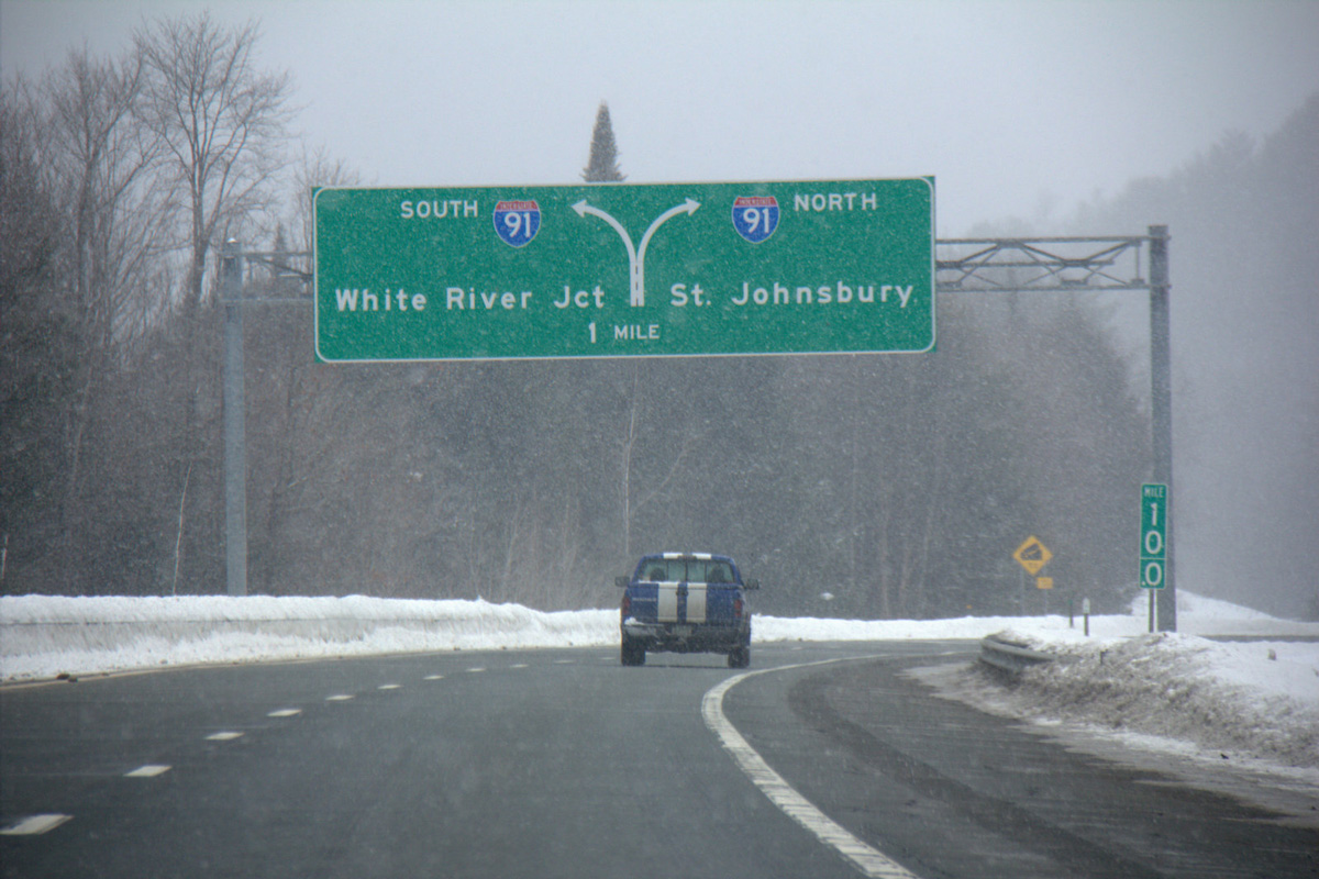
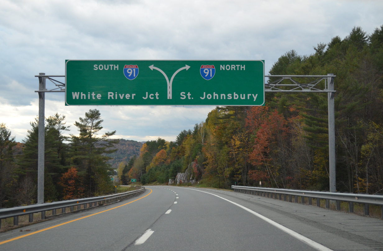
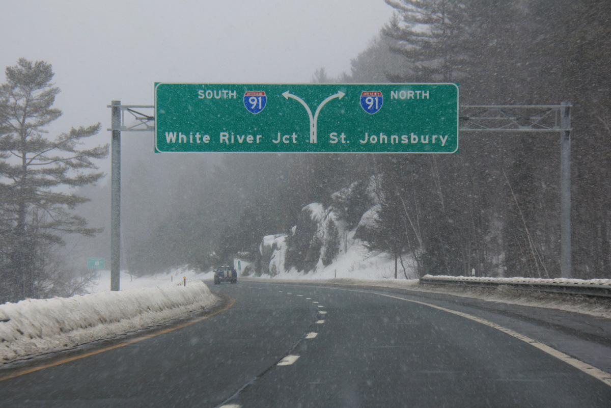
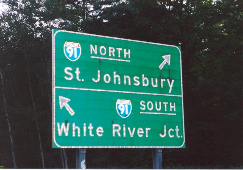
| The last distance sign for I-93 north highlights the distances to the Interstate 91 control cities of nearby St. Johnsbury to the north and White River Junction, 62 miles to the south. The 2007 replacement eliminated the distance to Canada, 52 miles via I-91 north. 07/30/07, 10/08/14 |
|
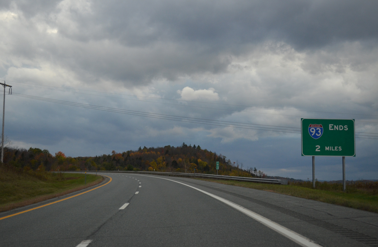
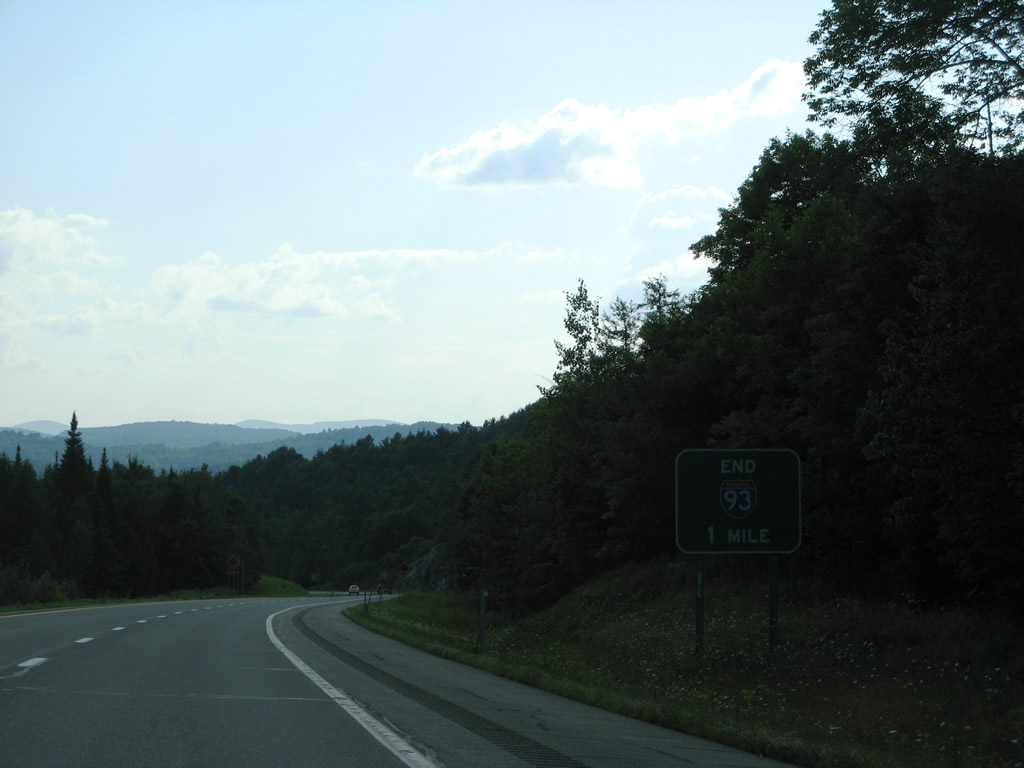
| A new end sign for Interstate 93 was posted in 2007 near milepost nine, replacing the previous entry one mile further. 10/08/14, 07/30/07 |
|
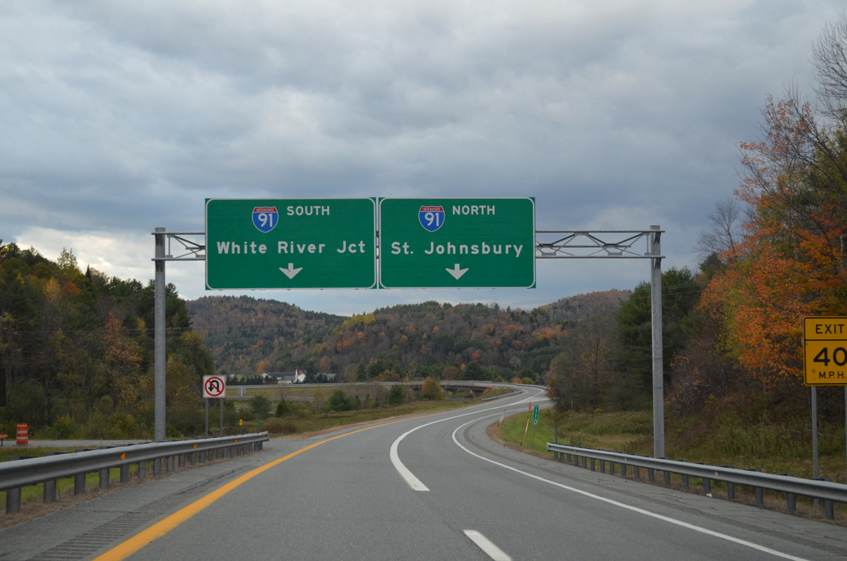
| A 5% grade lowers Interstate 93 to the tri-level stack interchange with Interstate 91. Single lane ramps join I-91 north for St. Johnsbury, Newport and Quebec, Canada and south for Bradford, White River Junction and Brattleboro. 10/08/14, 03/02/15 |
|
| Interstate 91 travels 177.38 miles in Vermont, joining with Autoroute 55 north to Sherbrooke, Quebec to the north and Springfield, Massachusetts to the south. 10/08/14, 03/02/15 |
|
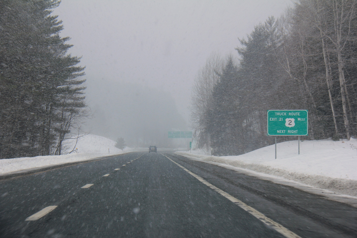
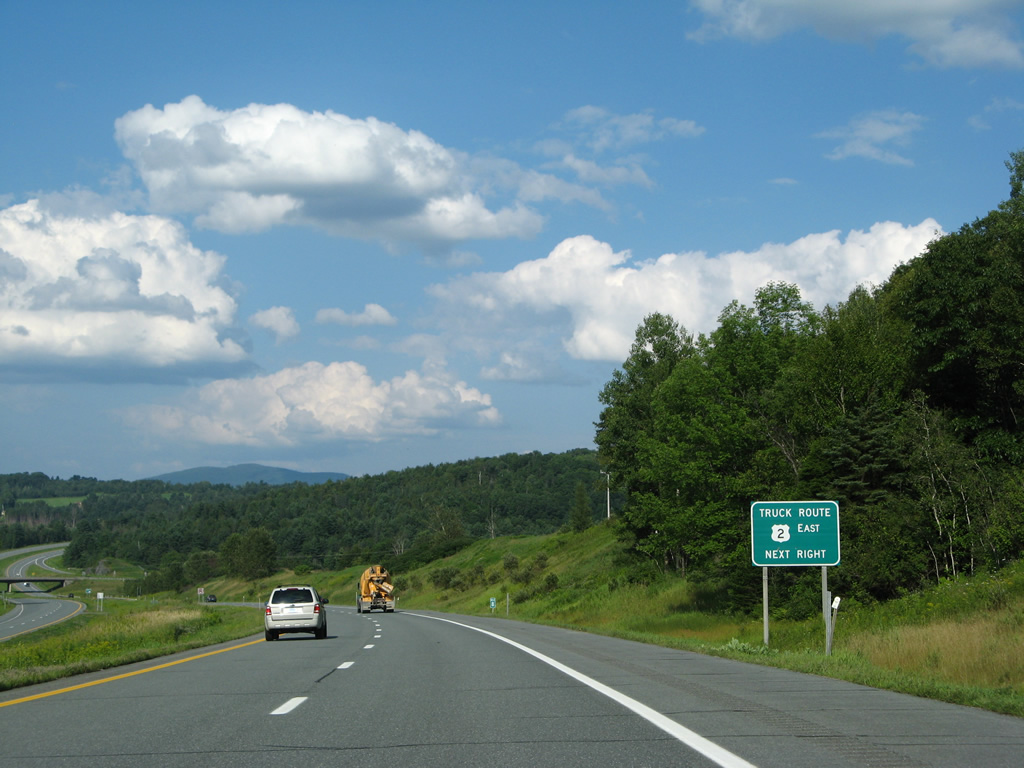
| Trucks bound for U.S. 2 leading southwest from St. Johnsbury to Montpelier are directed onto Interstate 91 north to Exit 21. U.S. 2 winds southwest through Danville, Marshfield and Plainfield along a mostly two lane corridor to the capital city. 03/02/15 |
|
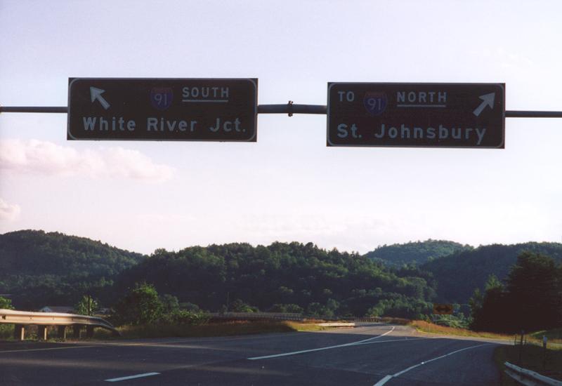
| Older signing standards in Vermont underlined the directions at Interstate junctions. This button copy sign for I-91 was removed in 2007. 07/23/00 |
|
| Drivers separate into the respective ramps for Interstate 91 as Interstate 93 ends. I-91 north spans the Passumpsic River to meet U.S. 5 nearby. A 7.5 mile exit less stretch takes southbound motorists to Barnet. 10/08/14 |
|
| This sign bridge, removed in 2007, directed motorists at the end of Interstate 93. For some reason VTrans included a TO banner on the northbound I-91 overhead. 07/23/00 |
|
| The entrance ramp to Interstate 93 from I-91 south passes through the lower level of the directional T interchange between the two freeways. 07/30/07 |
|
| Ramps from I-91 combine as Interstate 93 winds northeast along the St. Johnsbury and Waterford town line. 07/30/07 |
|
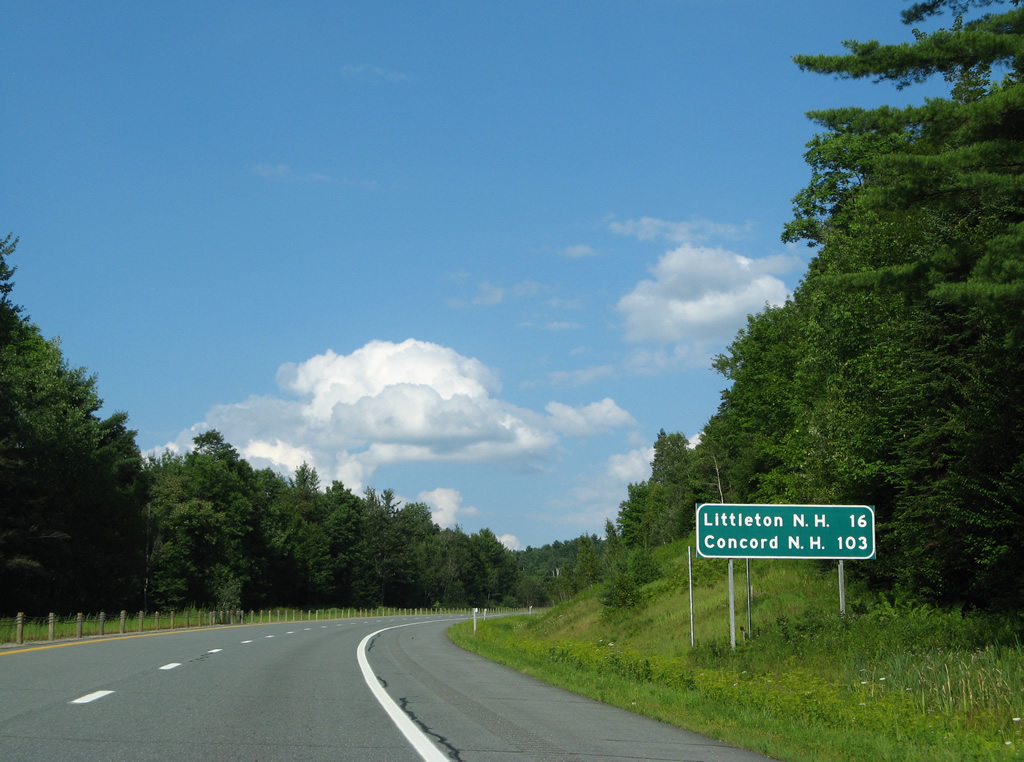
| Former button copy distance sign posted 16 miles west of Littleton, New Hampshire. Littleton is the largest city in the Granite State north of the White Mountains region. 07/30/07 |
|
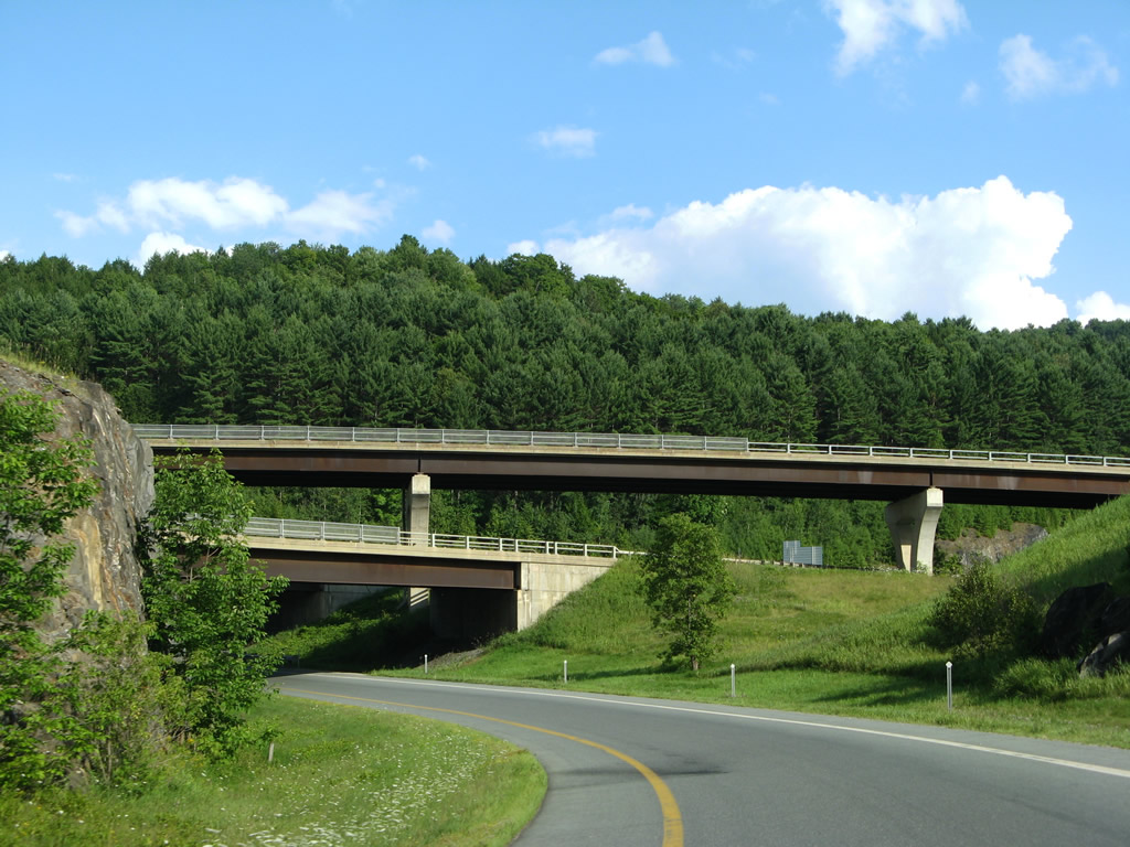
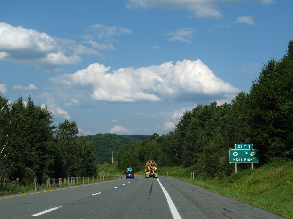
| Northbound scene beyond the Daniels Farm Road overpass along Interstate 93. The freeway hugs the northern slopes of Fairbanks Mountain to Exit 1. 07/30/07 |
|
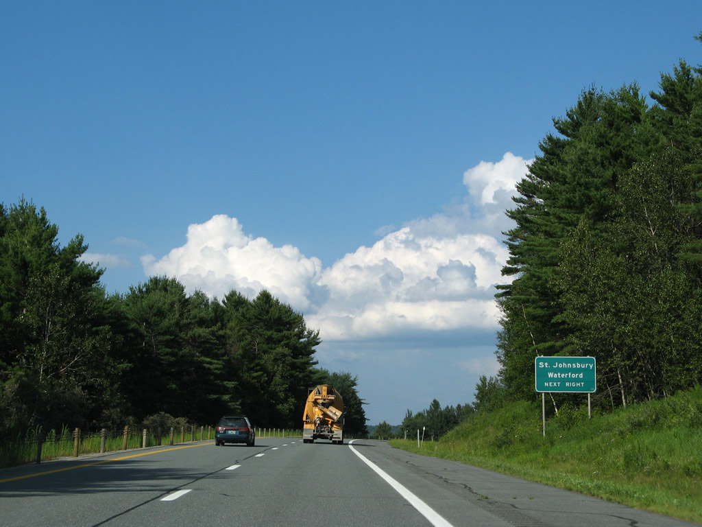
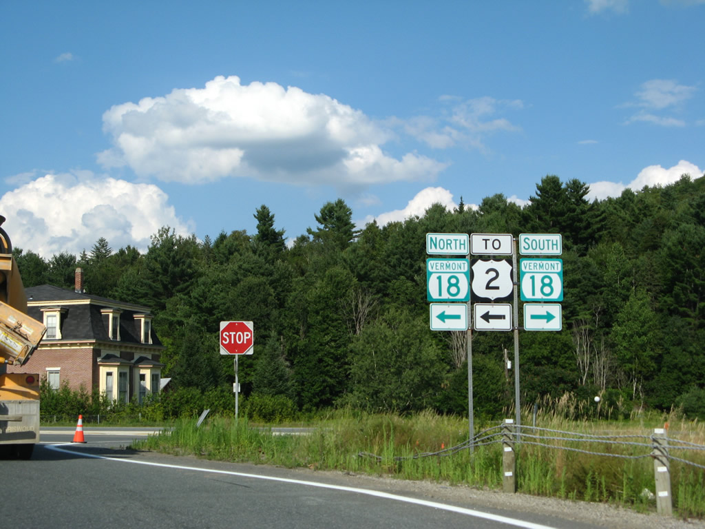
| VT 18 commences a 7.9 mile route east to west Littleton, New Hampshire from U.S. 2 (Portland Street) just north of Exit 1. 07/30/07 |
|
| U.S. 2 leads west back into St. Johnsbury from the end of VT 18. VT 18 parallels I-93 southeast to Lower Waterford. 07/30/07 |
|
| Exit 1 represents the lone Vermont interchange for Interstate 93 south. I-93 replaced VT and NH 18 southeast as the main route between St. Johnsbury and Littleton. New Hampshire 18 extends VT 18, 20.1 miles to Franconia. 07/30/07 |
|
| Trucks using Interstate 91 south to Interstate 93 north to bypass the route of U.S. 2 through St. Johnsbury are directed back to the US Route via VT 18 north. U.S. 2 meanders east to Concord, Luneburg and Lancaster, New Hampshire. 07/30/07 |
|
| The diamond interchange (Exit 1) with VT 18 spreads into view along I-93. 07/30/07 |
|
| Shield assembly for VT 18 and U.S. 2 posted at the end of the Exit 1 off-ramp. VT 18 runs south along Stiles Pond nearby while ending northward at U.S. 2, one mile from East St. Johnsbury. 07/30/07 |
Page Updated 03-03-2015.

 North
North