

Interstate 95, East Coast's Main Street, forms an important corridor through eastern Massachusetts. The freeway joins the city of Boston with Providence, Rhode Island to the southwest and Portland, Maine to the northeast. While never actually entering the city of Boston, the freeway provides for commuter movements to the north, west, and south suburbs in conjunction with I-90, I-93 and U.S. 1.
Interstate 95 Massachusetts Guides
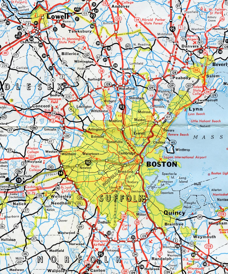
The planned corridor for Interstate 95 in Massachusetts took the highway northeast along the Southwest Expressway from Norwood and Dedham into the south side of Boston, converging with the existing Central Artery freeway south of I-90. North from there I-95 was to travel across the Tobin Bridge to the Northeast Expressway toward Peabody. Due to bitter neighborhood opposition, especially from the creation of the original Fitzgerald Expressway (I-93), all of planned Interstate 95 outside of the preexisting U.S. 1 sections of freeway were canceled by 1973. The resulting relocation sent I-95 onto the Route 128 beltway, leaving I-93 to utilize the Central Artery and Southeast Expressway southward to the Route 3 freeway (Pilgrims Highway) and southernmost leg of Route 128.
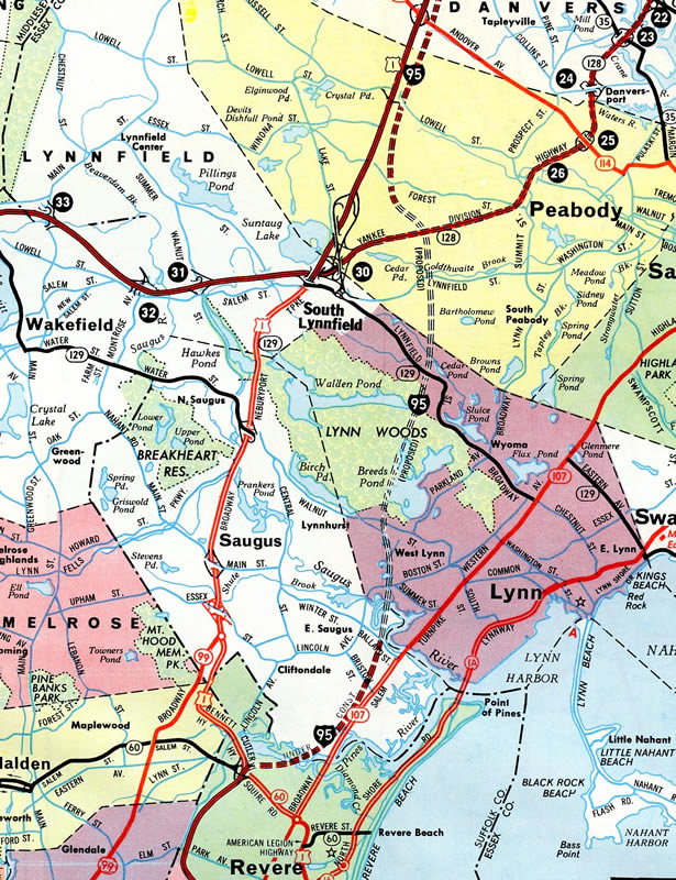
Construction for Interstate 95 in Massachusetts started with the 20.8 mile portion north from Exit 50 (U.S. 1) toward the New Hampshire state line. This six-lane segment opened to traffic in 1954 as part of a realigned U.S. 1. The stretch was modernized between 1967 and 1977. This left a 4.5 mile gap of Interstate grade freeway between Route 128 at Peabody and U.S. 1 at Danvers. Initially work extended the freeway south to Exit 46, U.S. 1 in Peabody, between 1969 and 1975. The final 1.5 mile connection with Route 128 was delayed until completion in 1988.1
South of Route 128 (Yankee Division Highway), Interstate 95 opened in stages between Rhode Island and Canton with construction starting in 1959 on the 11.6 mile segment between the state line and Route 140 (Exit 7). That stretch opened in 1963, followed by the 7.0 mile portion from Exit 7 to U.S. 1 (Exit 9) in 1964. Completion northward to Route 128 occurred in 1966.2
Through Boston, I-95 was planned to run on the following routes:
- The unconstructed Southwest Expressway - canceled in 19722
- The Central Artery / Fitzgerald Expressway - renumbered as a southward extension of I-93 in 1973
- The Northeast Expressway - numbered as I-95 until 1973, and as U.S. 1 in 19763
Cancellation of the Southwest Expressway and the unbuilt portion of the Northeast Expressway between Revere and Peabody led to I-95 shifting west from through Boston onto the Circumferential Highway (Route 128) in 1973. The beltway saw initial construction between 1936 and 1941 in areas south and north of Boston. Also known as the Yankee Division Highway, Route 128 work continued in 1948 with completion of the route west of U.S. 1 in 1951.4
 scenes scenes |
 | Robert F. Toner Boulevard stems west from Route 152 (North Main Street) to I-95 (Exit 5) ahead of Attleborough Falls. The four lane boulevard links the freeway with Commonwealth Avenue west into North Attleborough. 07/28/07 |
 | A loop ramp carries motorists from Robert F. Toner Boulevard onto Interstate 95 south. Pawtucket and Providence, Rhode Island are the control cities for I-95 south beyond Attleboro. 07/28/07 |
 | Neponset Street south at the cloverleaf interchange (Exit 23) with Interstate 95 along the Norwood and Canton town line. 07/29/07 |
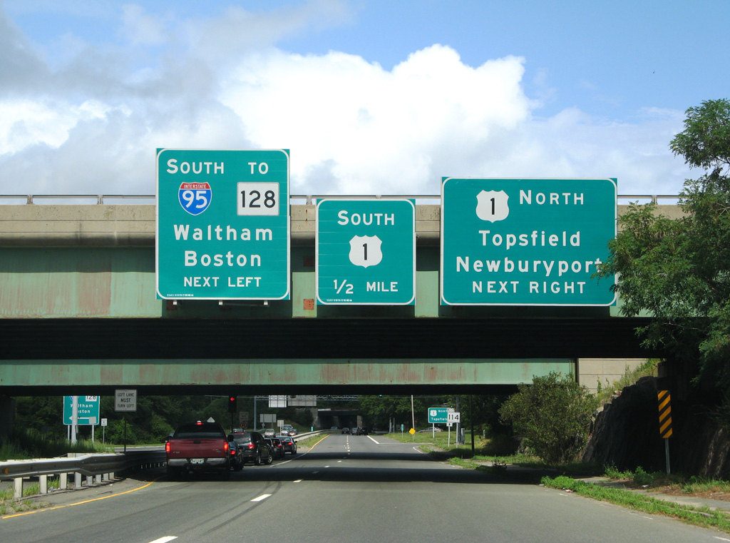 | Route 144 (Andover Street) meets back to back interchanges with both Interstate 95 and U.S. 1 (Newbury Street) in Danvers. 07/28/07 |
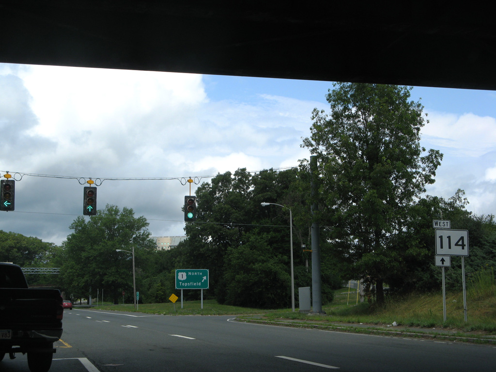 | A trailblazer directs motorists westward along Route 114 beyond the cloverleaf interchange with U.S. 1. The state route runs 22.45 miles from Marblehead to Lawrence. 07/28/07 |
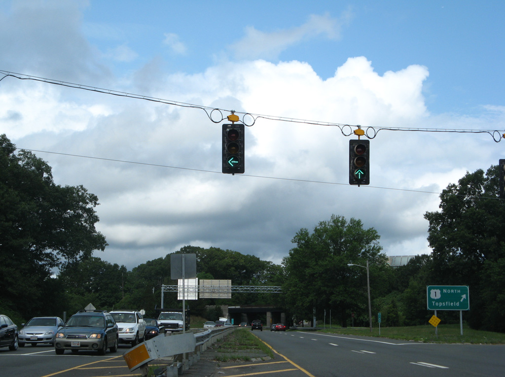
 | U.S. 1 extends north from Route 114 along a commercialized stretch to cross paths with I-95 ahead of Topsfield. 07/28/07 |
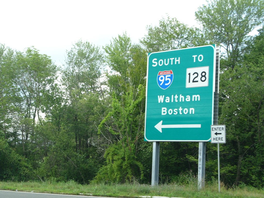
 | The southbound ramp to Route 114 for I-95 departs for Boston and Waltham (U.S. 20). 07/28/07 |
Photo Credits:
07/28/07, 07/29/07 by AARoads
Connect with:
Interstate 495
Route 24
Page Updated 03-21-2023.