|
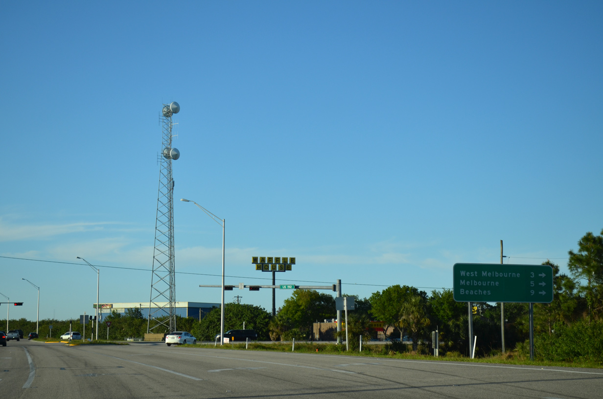
| U.S. 192 stretches 75 miles west from the Space Coast, providing a vital link between Indialantic and Melbourne to St. Cloud, Kissimmee, and the Walt Disney World resort in Osceola and Orange counties. 05/05/18 |
|
| Orlando Melbourne International Airport (MLB) lies north of U.S. 192 along Nasa Boulevard and SR 508. Construction of the Ellis Road extension to a new parclo interchange with I-95 at St. Johns Heritage Parkway provides a more direct link to MLB Airport. Costing $39.0 million, work on the exchange started on October 2, 2018.1 04/24/19 |
|
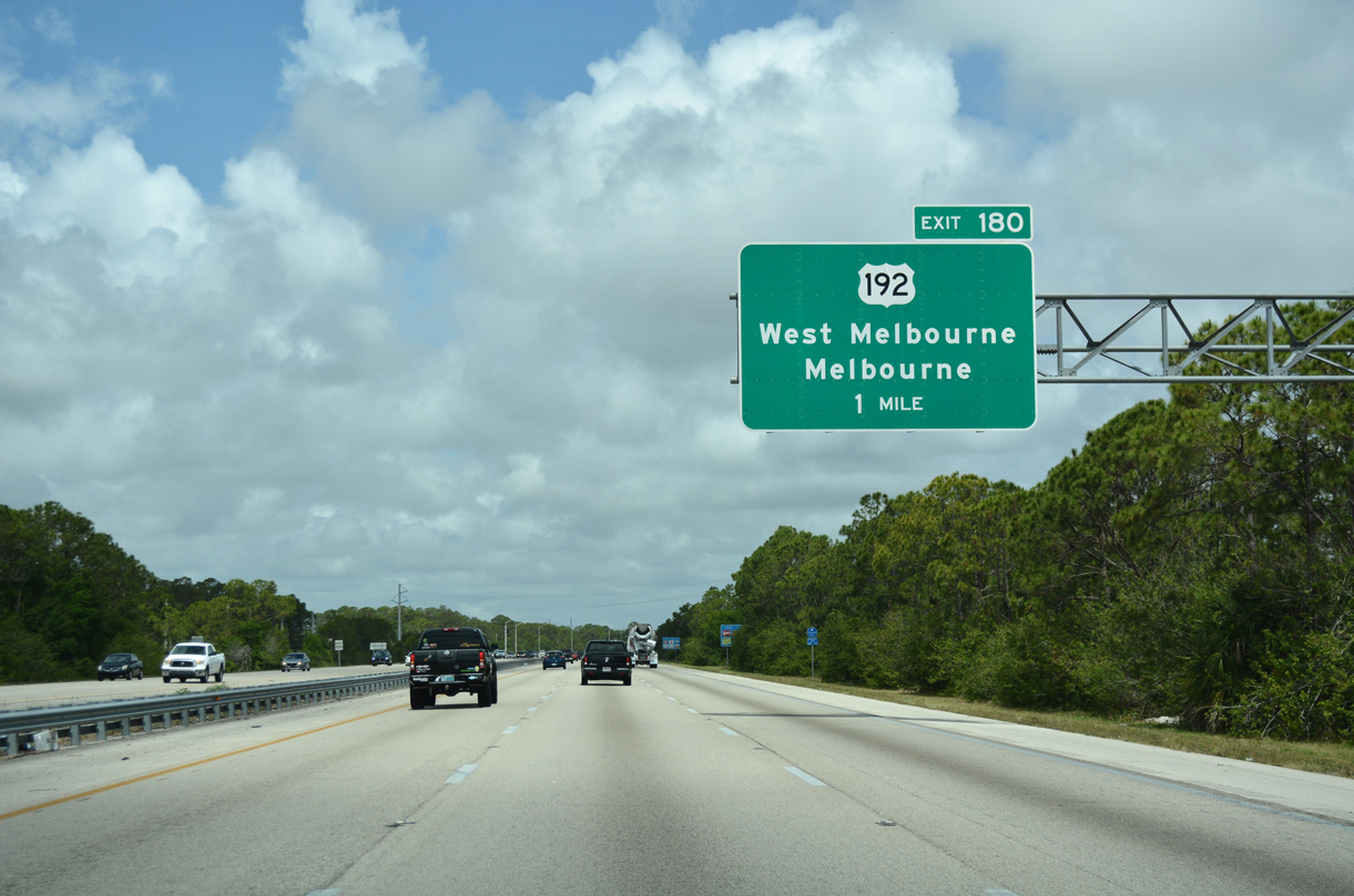
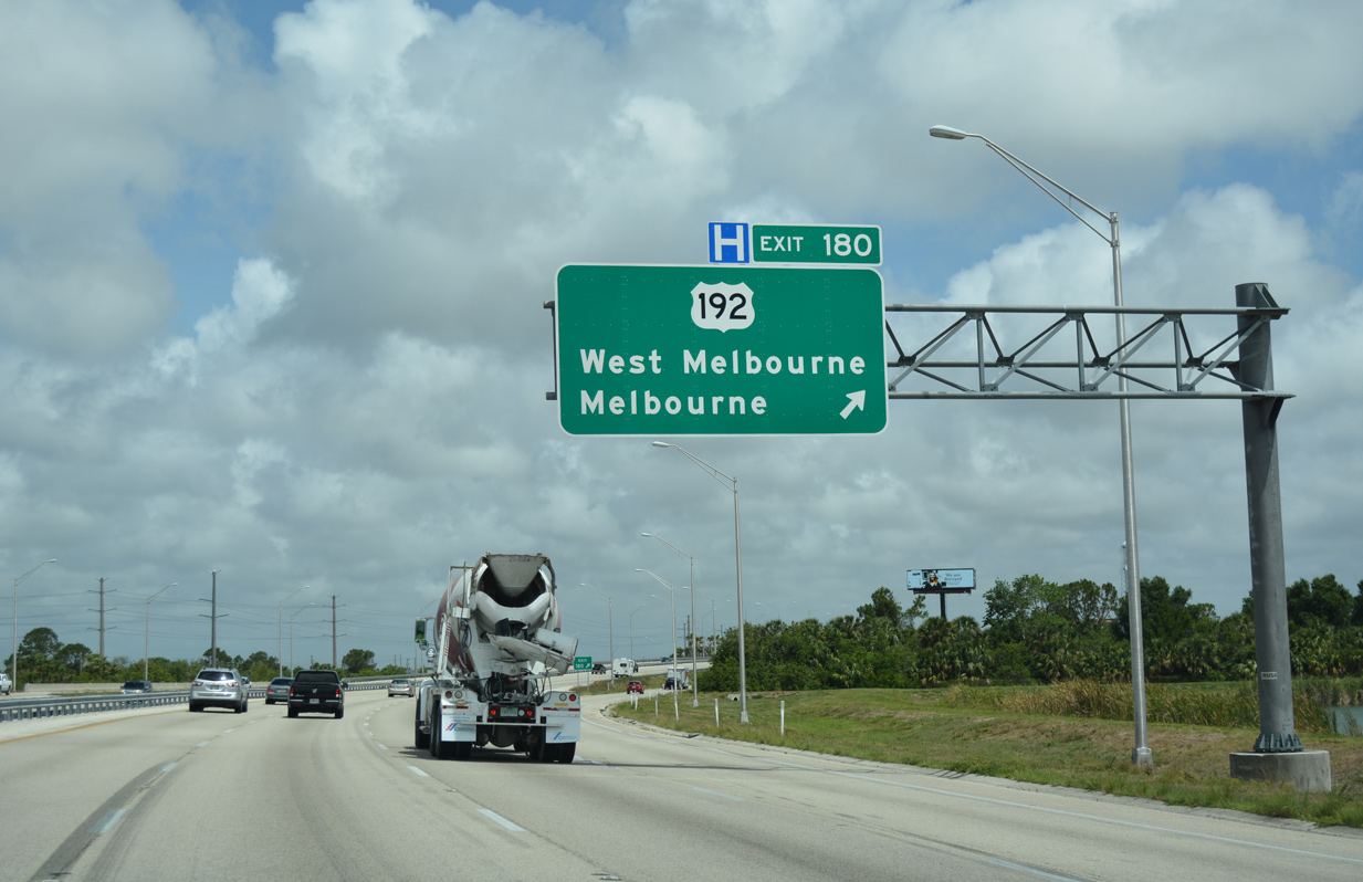
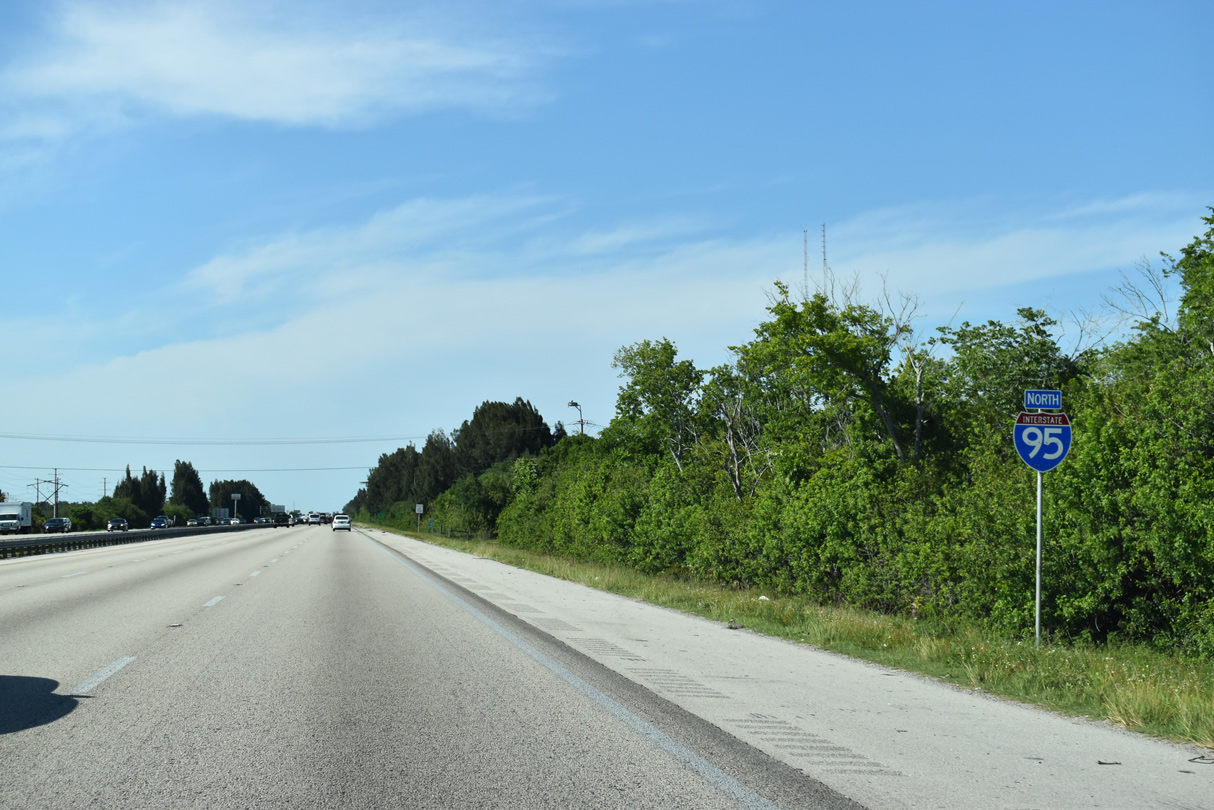
| Turning north, Interstate 95 reaches the diamond interchange (Exit 180) with U.S. 192 (New Haven Avenue) for the city of West Melbourne. 05/05/18 |
|
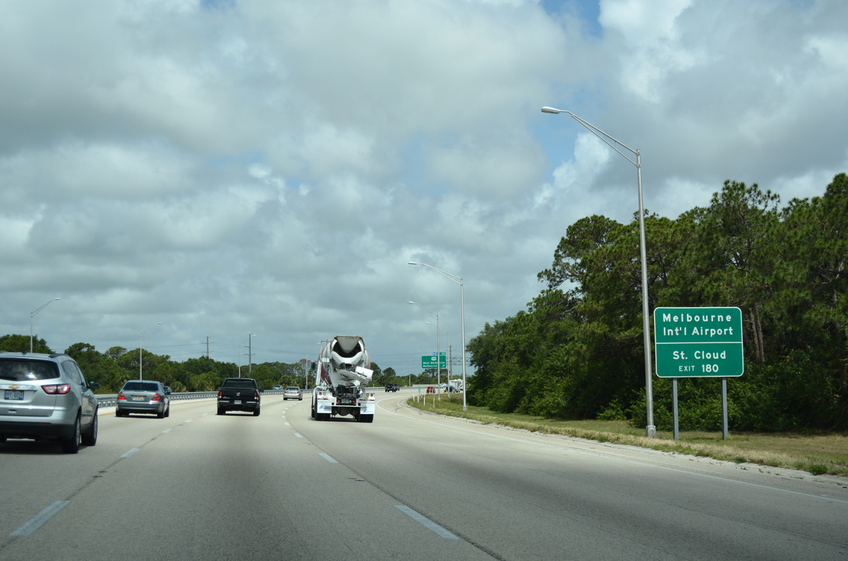
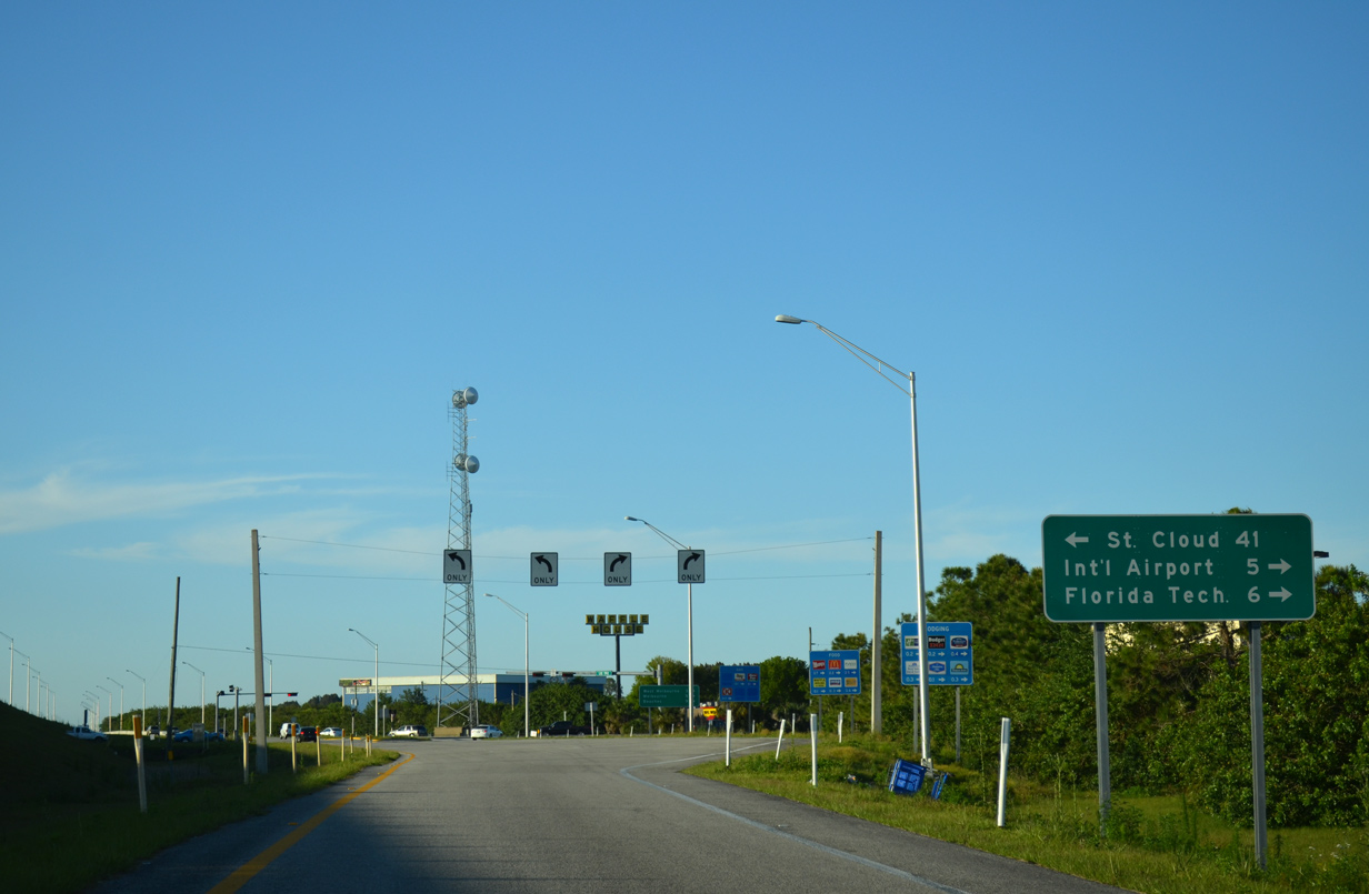
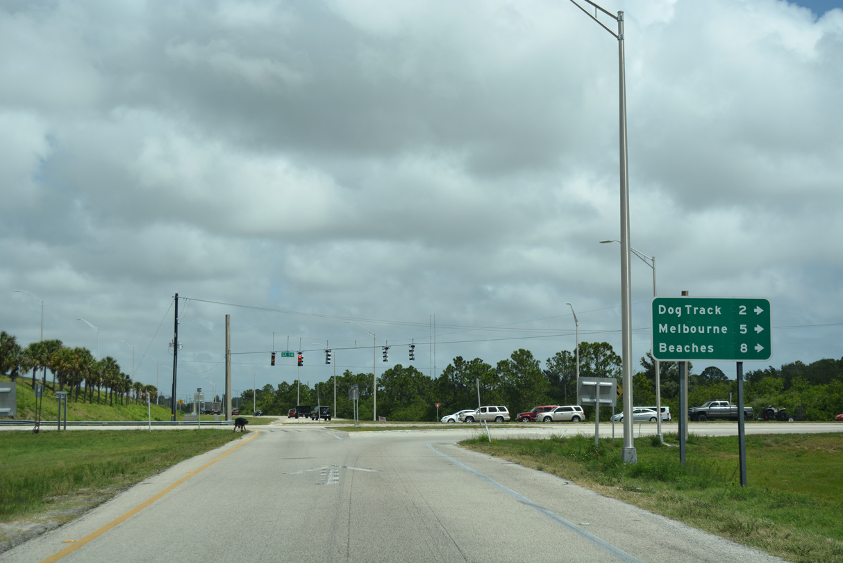
| St. Cloud, along both U.S. 192 west and 441 north, is 41 miles to the west while Melbourne International Airport (MLB) is five miles east via U.S. 192 (New Haven Avenue) and Evans Road. 04/01/14 |
|
| U.S. 192 runs through the city of West Melbourne to Downtown Melbourne in five miles. The intrastate route ends in 8.6 miles at SR A1A (Miramar Avenue) in Indialantic. 04/01/14 |
|
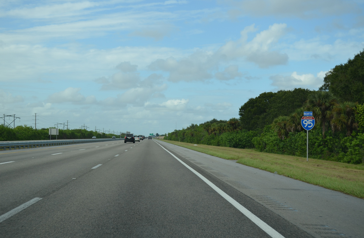
| Interstate 95 serves as a buffer between West Melbourne and undeveloped land as it advances north toward Viera. Exit 182 to Ellis Road east and St. Johns Heritage Parkway south opened along this stretch on June 2, 2020.1 09/28/13 |
|
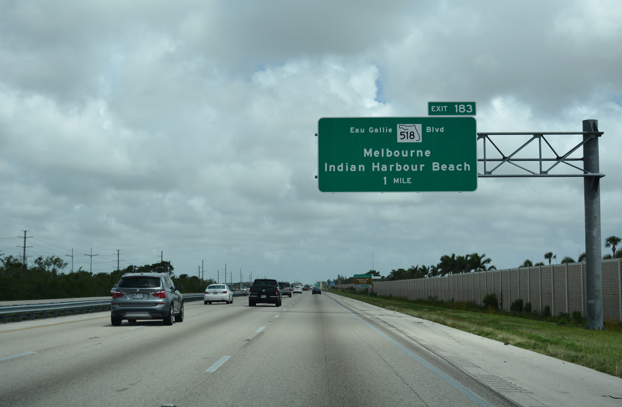
| SR 518 (Eau Gallie Boulevard) is an arterial route linking Interstate 95 at Exit 183 with SR A1A and Indian Harbour Beach. 05/05/18 |
|
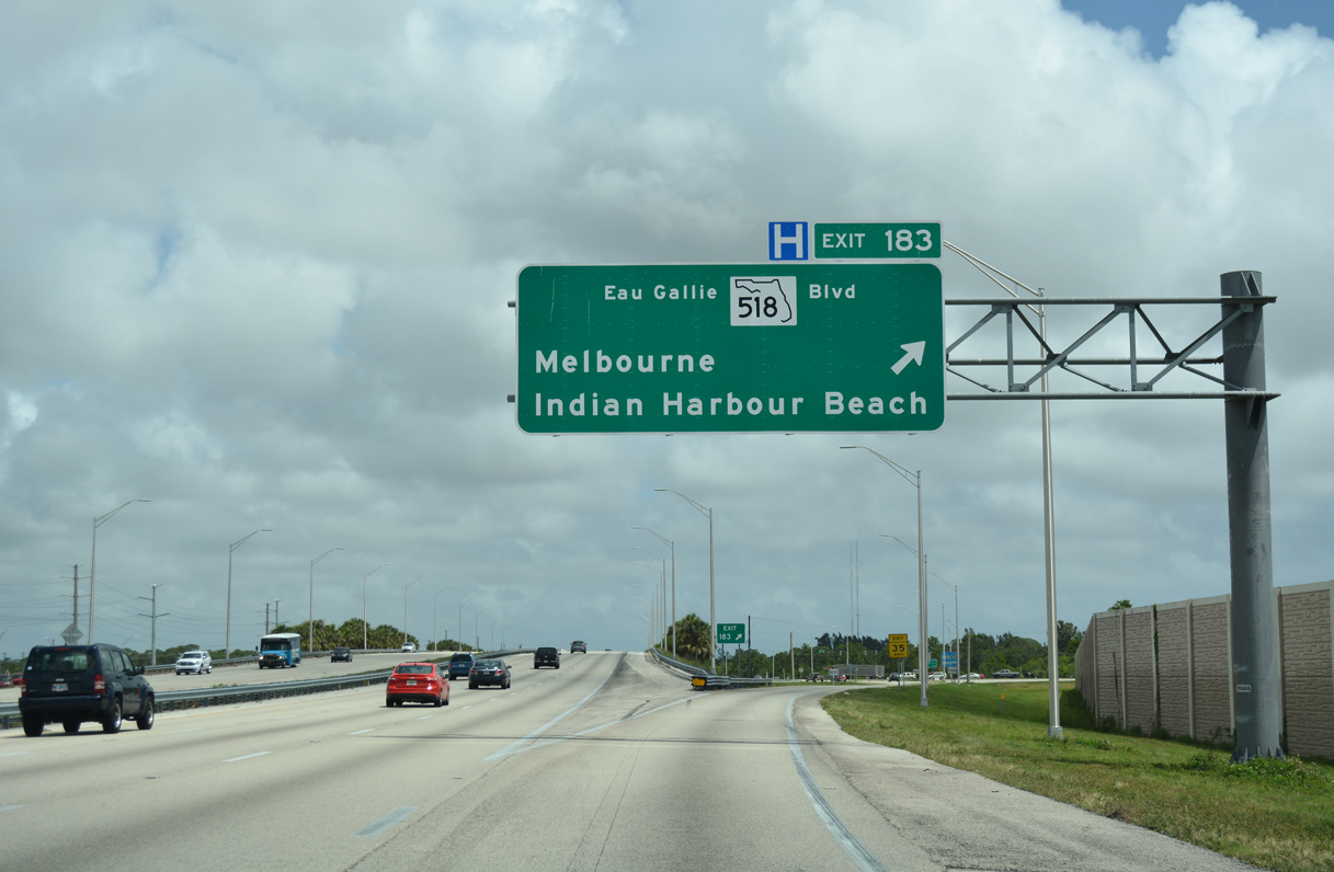
| Exit 183 leaves I-95 north for SR 518 (Eau Gallie Boulevard) east to Indian Harbour Beach. Points of interest along SR 518 (Eau Gallie Boulevard) include the Foosaner (formerly Brevard) Art Museum located near the Indian River. 05/05/18 |
|
| State Road 518 measures 8.40 miles in length from Jones Road adjacent to I-95 and SR A1A at Canova Beach Park. 05/05/18 |
|
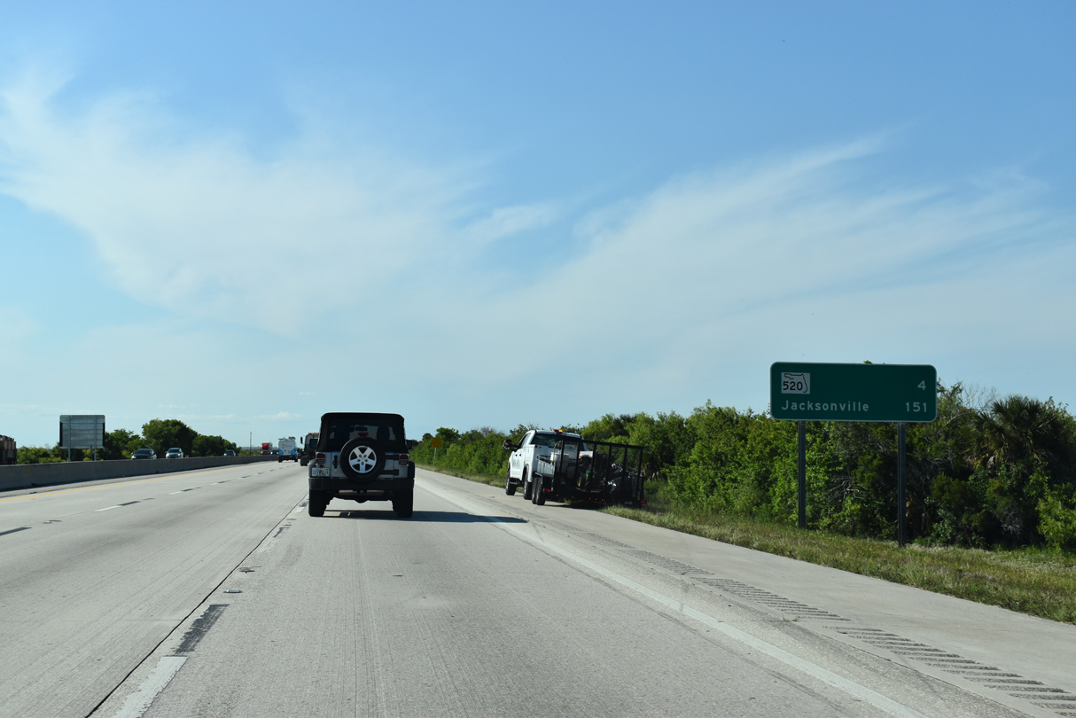
| The city of Cocoa, 20 miles ahead via I-95 and SR 520 east, lies along the Indian River on U.S. 1 in central Brevard County. Jacksonville is 144 miles further. 04/24/19 |
|
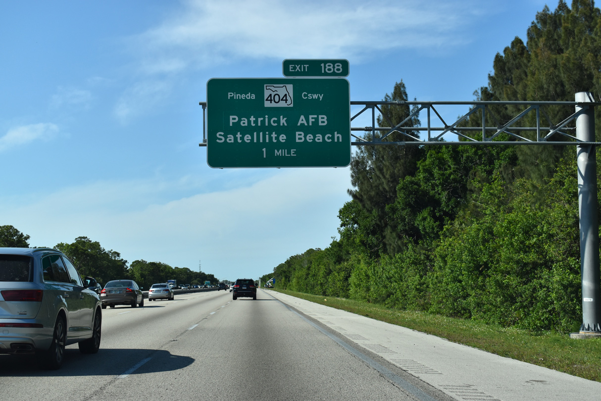
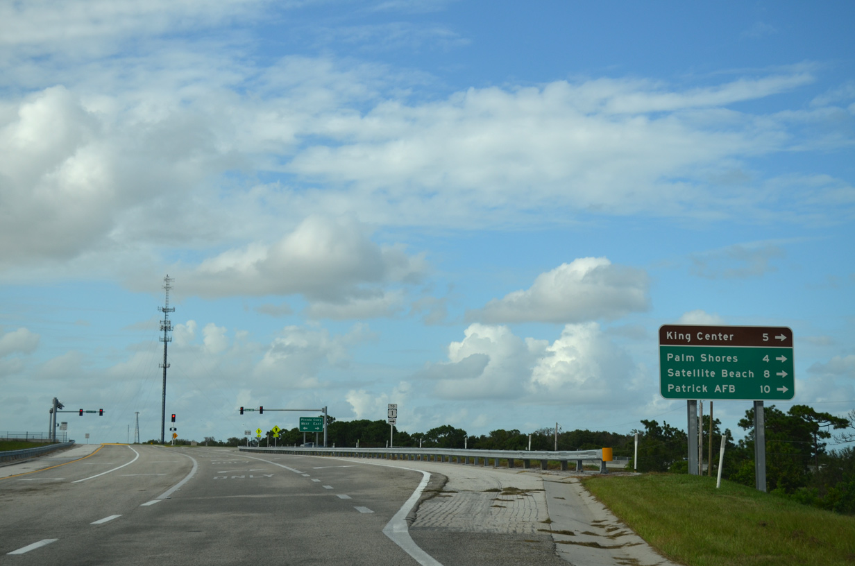
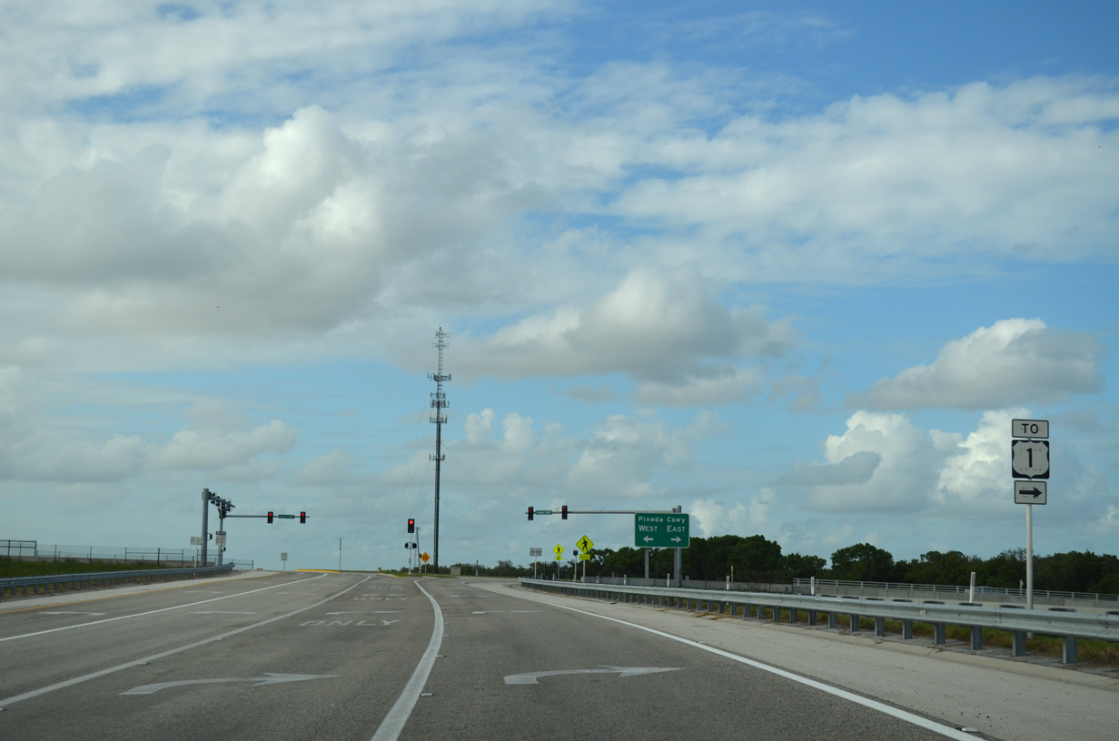
| Opened to traffic in 2011, the diamond interchange (Exit 188) linking I-95 with Pineda Causeway is one mile ahead. Providing a direct connection to Satellite Beach and Patrick Air Force Base, Pineda Causeway was extended 2.3 miles west from Wickham Road (CR 509) to the freeway. 04/24/19 |
|
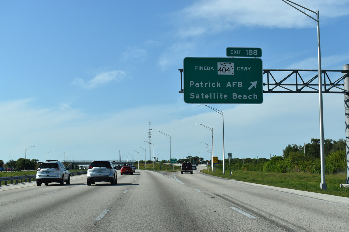
| Interstate 95 reaches Exit 188 for Pineda Causeway. SR 404 overlays Pineda Causeway east from CR 509 (Wickham Road) 4.59 miles to SR A1A. The remainder west to I-95 is locally maintained and unnumbered. 04/24/19 |
|
| Pineda Causeway east serves interests to the city of Palm Shores and the Maxwell C. King Center of Performing Arts. 09/28/13 |
|
| SR 404 is controlled access east from a parclo interchange with U.S. 1 across the Indian and Banana Rivers. Tolls were levied along the expressway section until 1990 when the initial bonds for the highway were paid off. Plans call for a westward extension of Pineda Causeway to a proposed continuation of St. Johns Heritage Parkway. 09/28/13 |
|
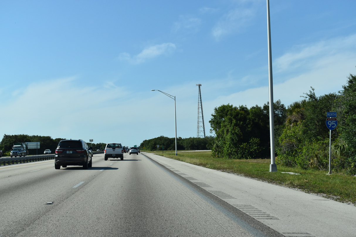
| This confirming marker precedes a former rest area north of Pineda Causeway / Exit 188. 04/24/19 |
|
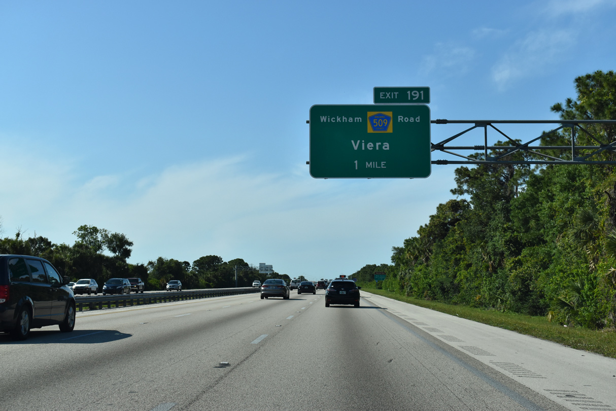
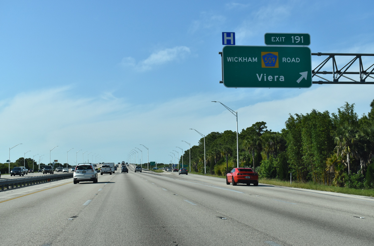
| The ensuing exit joins Interstate 95 with CR 509 (Wickham Road) in one mile. Extending north from U.S. 192 in West Melbourne, Wickham Road parallels the freeway for 10.5 miles before curving west to Exit 191 and Viera. 04/24/19 |
|
| Exit 191 parts ways with I-95 north to CR 509 (Wickham Road). Wickham Road leads west into the upscale community of Viera, intersecting Stadium Parkway north to the USSSA Space Coast Complex, formerly the spring training facility for the Washington Nationals (MLB) and home of the Brevard County Manatees (MiLB). 04/24/19 |
|
| Heading north from Wickham Road, I-95 runs alongside an area of retail anchored by The Avenue Viera. 09/28/13 |
|
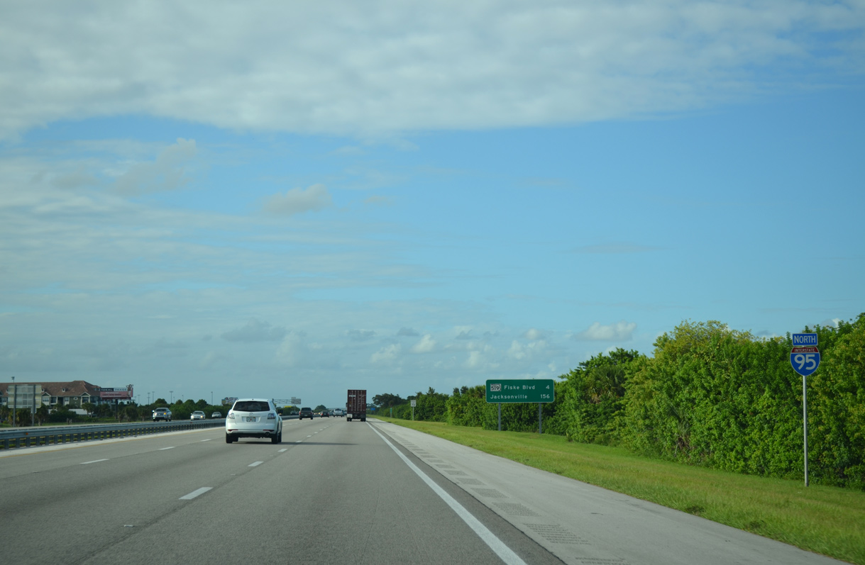
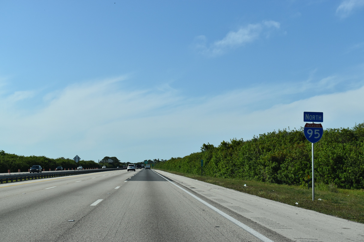
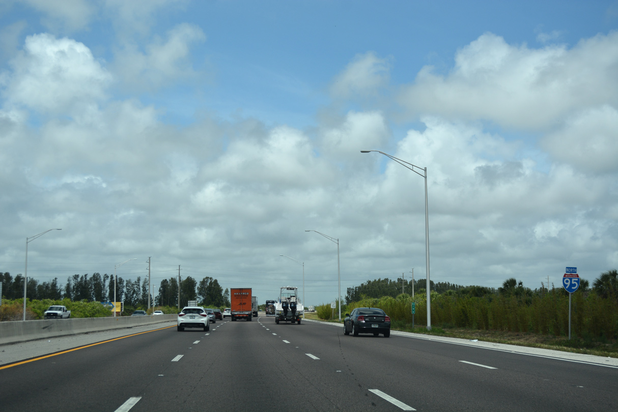
| Four miles separate CR 509 (Wickham Road) and SR 519 (Fiske Boulevard) along Interstate 95 north. 156 miles remain for travelers destined to Jacksonville. 04/24/19 |
|
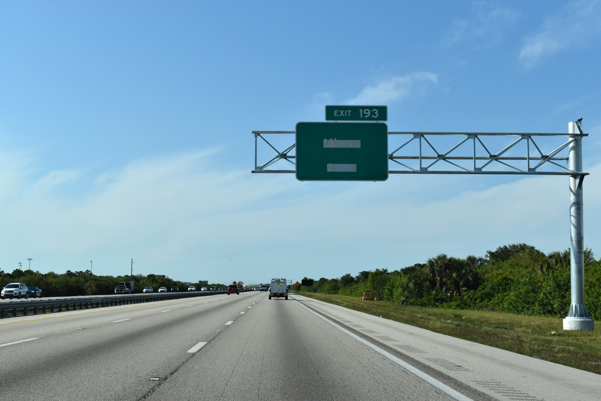
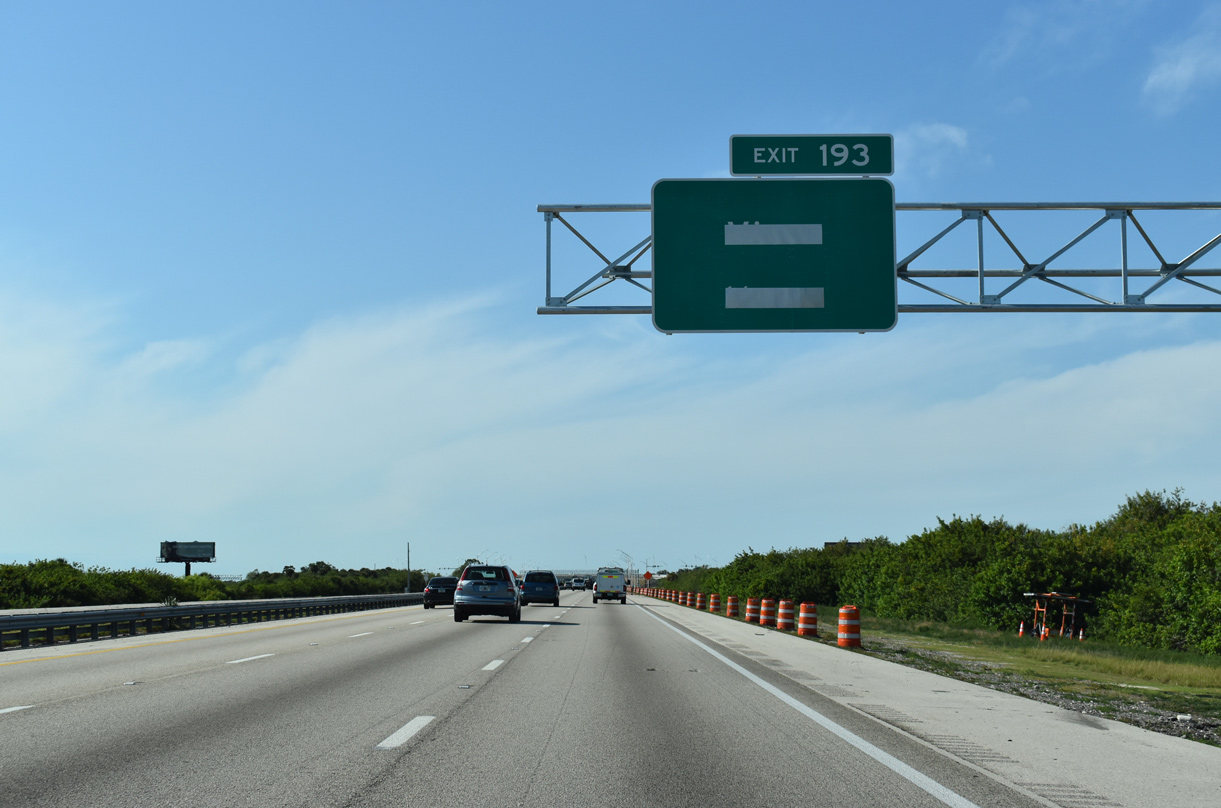
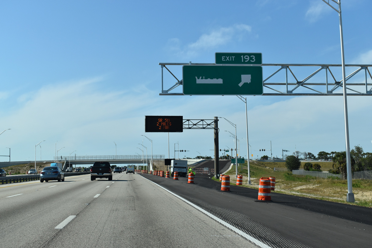
| A diverging diamond (DDI) was constructed along I-95 at Viera Boulevard between Fall 2017 and July 1, 2019. Costing $17 million,2 the exchange was originally anticipated for completion by Fall 2018. 04/24/19 |
|
| Viera Boulevard constitutes an arterial route west from Exit 193 to Power Line Drive in Viera and east to U.S. 1 near Bonaventure. 04/24/19 |
|
| Suburban development and Viera East Golf Club line I-95 on the succeeding stretch after Viera Boulevard. 04/24/19 |
|
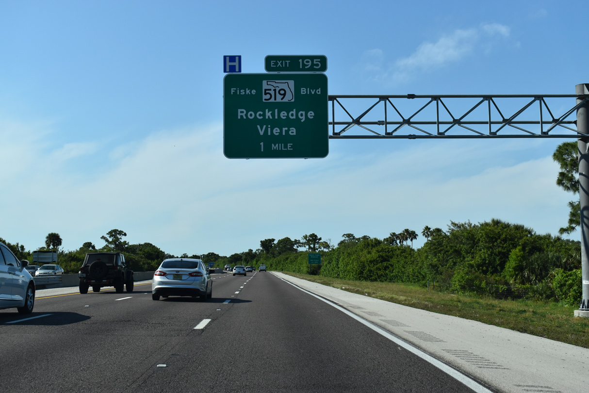
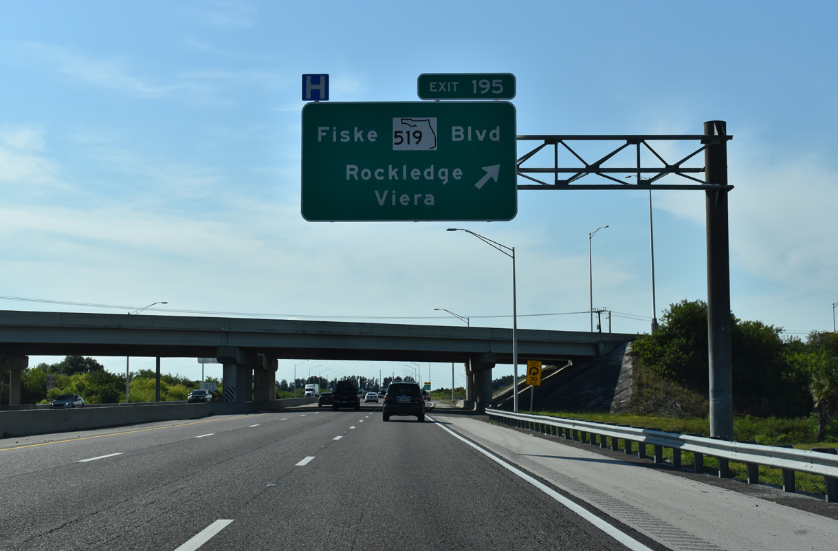
| Stadium Parkway weaves northward from Viera to a parclo interchange (Exit 195) with Interstate 95 at SR 519 (Fiske Boulevard). 04/24/19 |
|
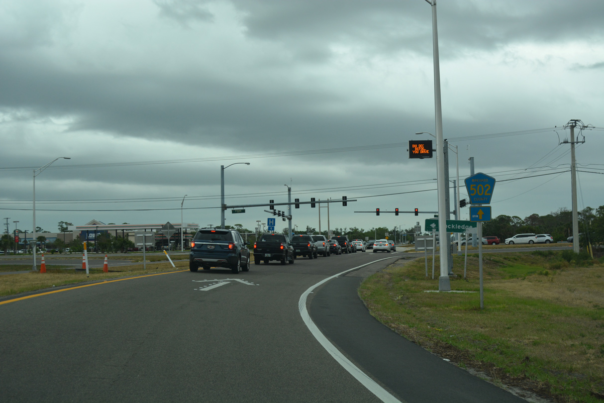
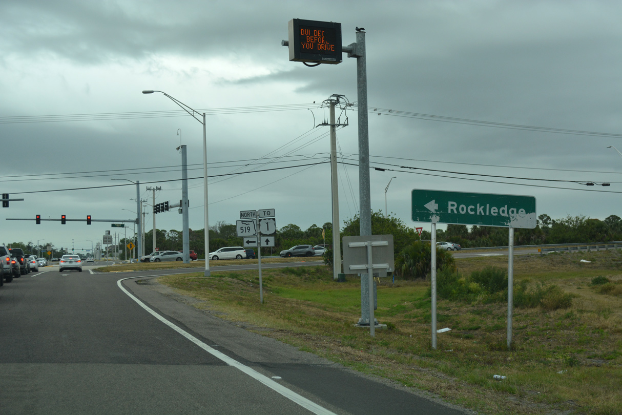
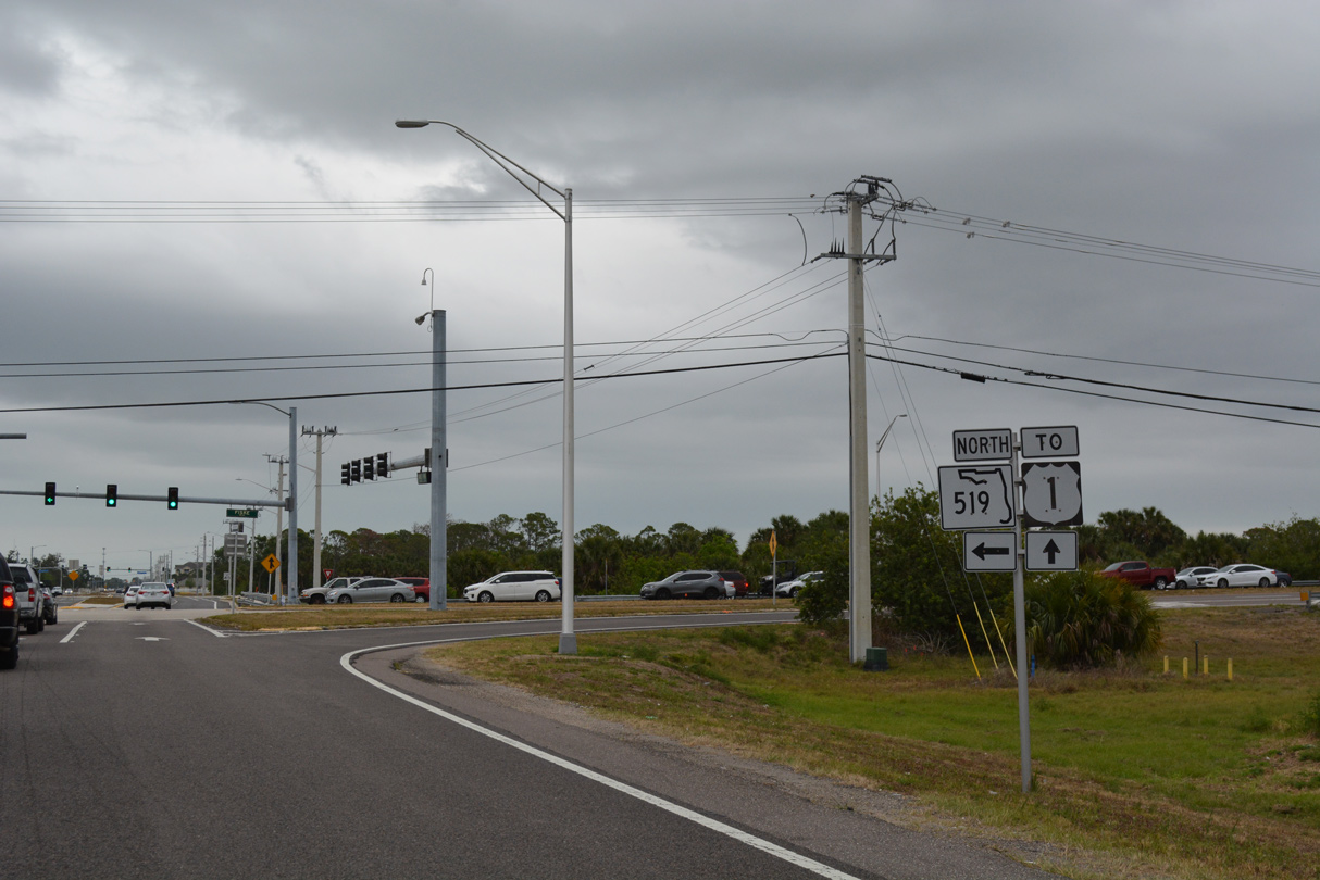
| SR 519 follows Fiske Boulevard 4.60 miles north through Rockledge to SR 520 in Cocoa. Brevard County Road 502 (Barnes Boulevard) stems 2.66 miles east from Exit 195 and SR 519 to U.S. 1 (Rockledge Boulevard). 04/24/19, 03/31/18 |
|
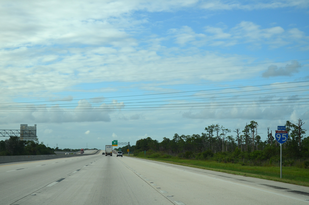
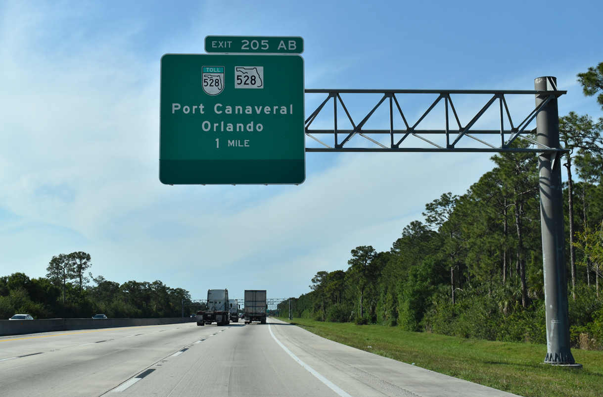
| Continuing northwest I-95 passes through the River Lakes Conservation Area en route to SR 520 in 4 miles and Jacksonville in 151 mile). SR 520 at Exit 201 and SR 528 east at Exit 205 A both extend east across the Indian River to Merritt Island and the Atlantic Coast beaches. 05/05/18, 04/24/19 |
|
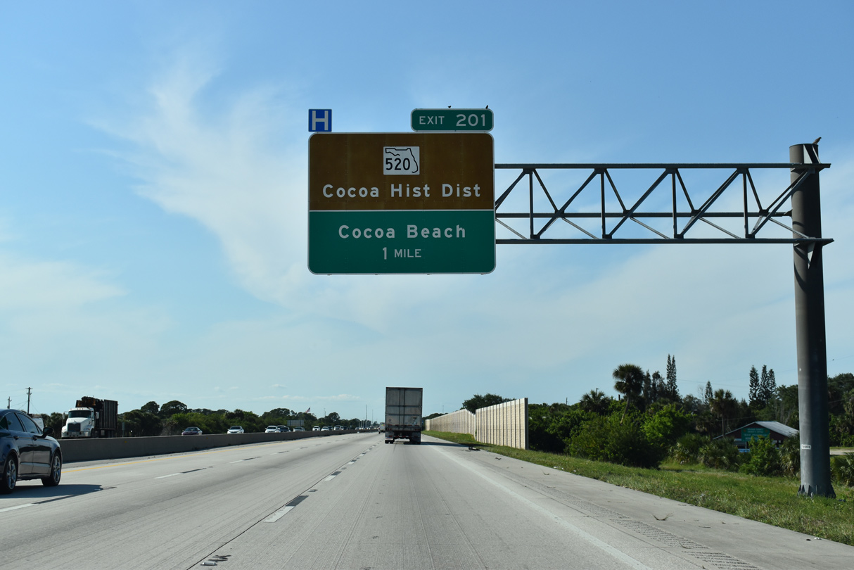
| Meeting I-95 at a diamond interchange (Exit 201) in one mile, SR 520 connects the freeway with nearby Cocoa and Cocoa Beach while also serving as an alternative route to the Orlando area. 04/24/19 |
|
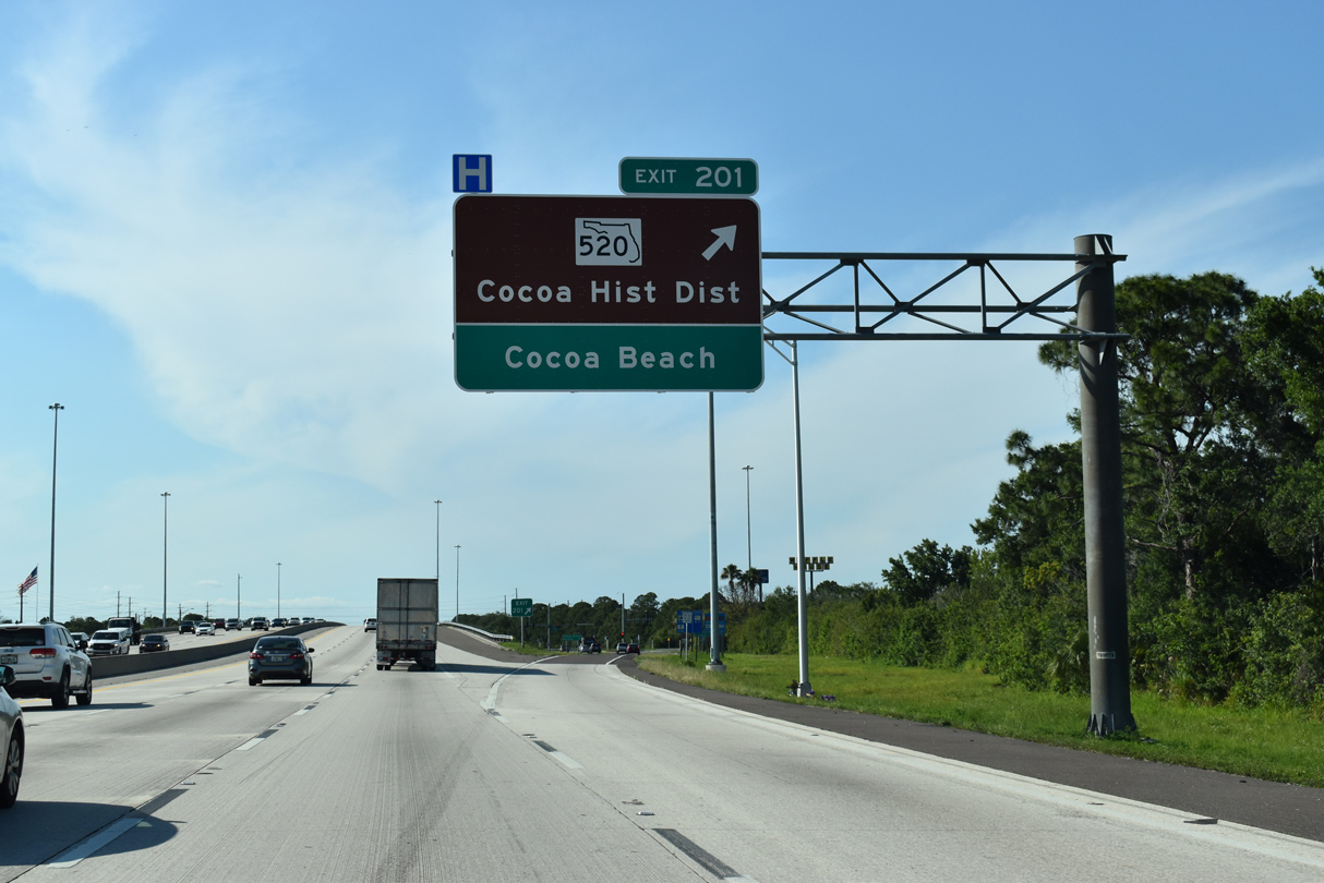
| Exit 201 leaves I-95 north for SR 520 (King Street). Cocoa falls between SR 520 and SR 528 (Beachline Expressway) west of Merritt Island Causeway. SR 520 ends 12 miles to the east at SR A1A just north of Cocoa Beach. Orlando lies 43 miles to the northwest via SR 520 west to SR 50 west. 04/24/19 |
|
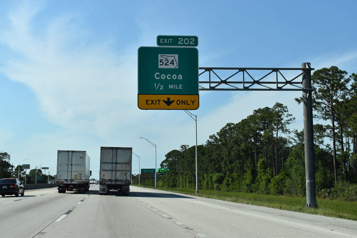
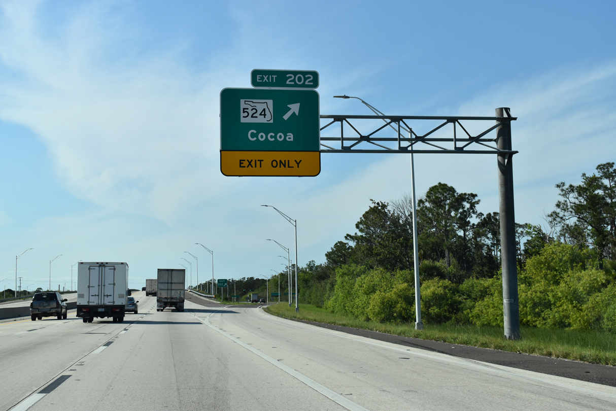
| One half mile separates SR 520 and Exit 202 / SR 524 along I-95 north. SR 524 branches 5.13 miles northeast from SR 520 (King Street), 1.9 miles west of the freeway, to SR 501 (Clearlake Road) at SR 528 (Exit 45). 04/24/19 |
|
| An auxiliary lane opens from the SR 520 entrance ramp to Exit 202 for SR 524. A reassurance shield posted on this stretch was removed. 09/28/13 |
|
| SR 524 runs along a former alignment of SR 528 before the Beachline Expressway was built between SR 520 and Cape Canaveral. When the expressway opened to traffic in the early 1970's the SR 528 designation moved to the expressway while the five mile surface route was redesignated as SR 524. 04/24/19 |
|
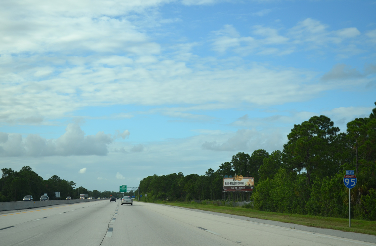
| Interstate 95 runs along the western outskirts of the Cocoa city limits north to the Beachline Expressway (SR 528). 09/28/13 |
|
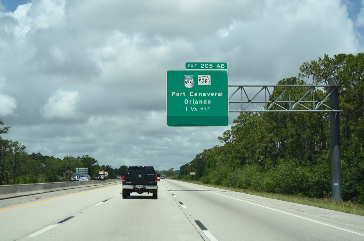
| SR 528 is a major expressway linking the Space Coast with the greater Orlando metropolitan area. Operated by both Florida's Turnpike Enterprise (FTE) and the Central Florida Expressway Authority (CFX), the toll road extends 42 miles west to I-4. SR 528 east 12.7 miles to Port Canaveral is a toll free route. 05/05/18 |
|
| Officially named the Martin Andersen Beachline Expressway, the entire expressway system was constructed in the 1960's and 1970's to enhance access between Orlando and the Space Coast and more importantly the Kennedy Space Center and Cape Canaveral. 04/24/19 |
|
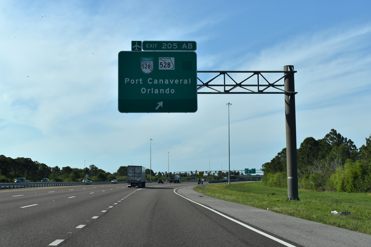
| Prior to expansion of I-95 north beyond Exit 205, a lane drop occurred for the collector distributor roadway to SR 528 (Beachline Expressway). 05/05/18 |
|
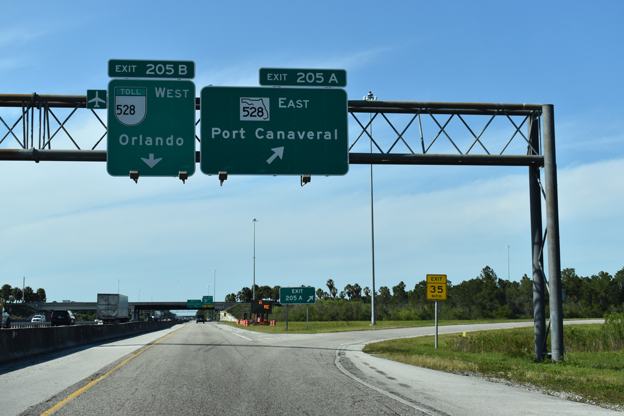
| The c/d roadway (Exit 205) separates from Interstate 95 north for SR 528 (Martin Andersen Beachline Expressway) west to Orange County and Orlando International Airport (MCO) and east to Cocoa and Bennett Causeway. 04/24/19 |
|
| SR 528 combines with SR A1A (Bennett Causeway) east from U.S. 1 to Port Canaveral. The cargo and cruise based port is situated north of SR 528/A1A between the Banana River and Atlantic Ocean. SR A1A continues south from the SPUI with George King Boulevard where SR 528 ends into Cape Canaveral. 04/24/19 |
|
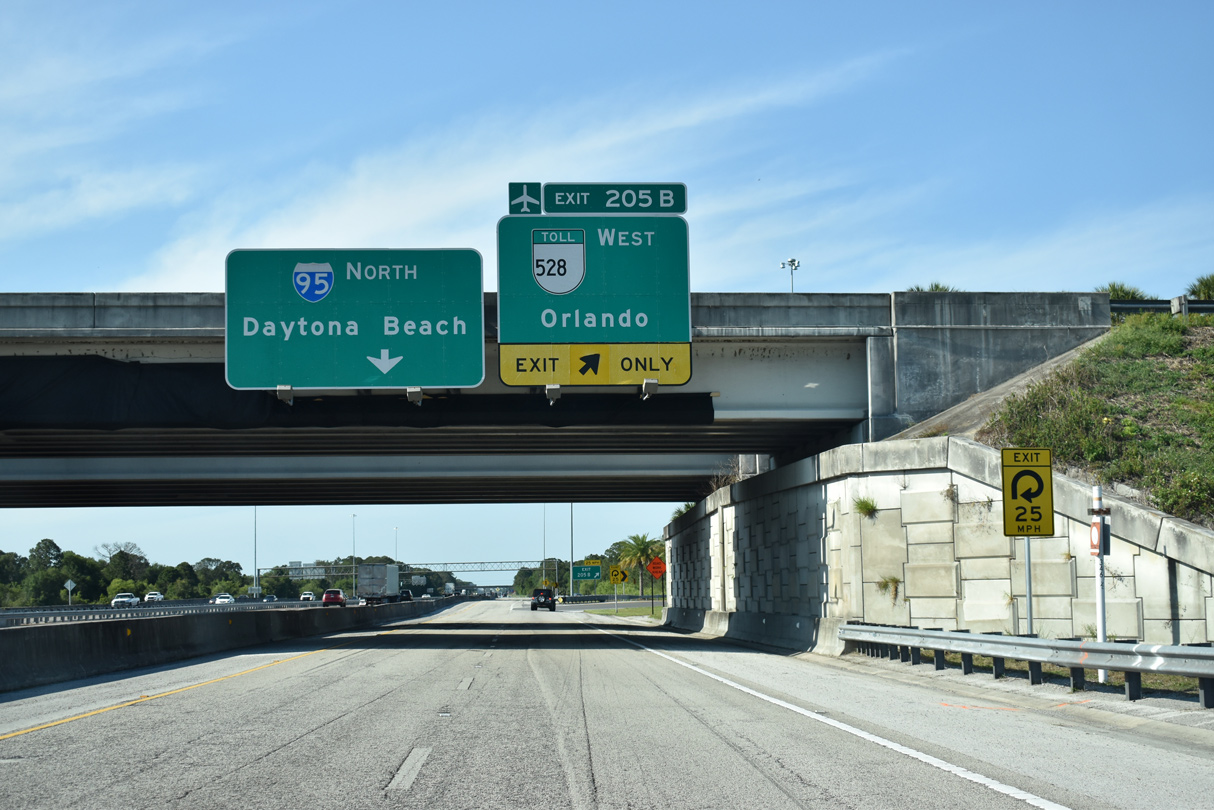
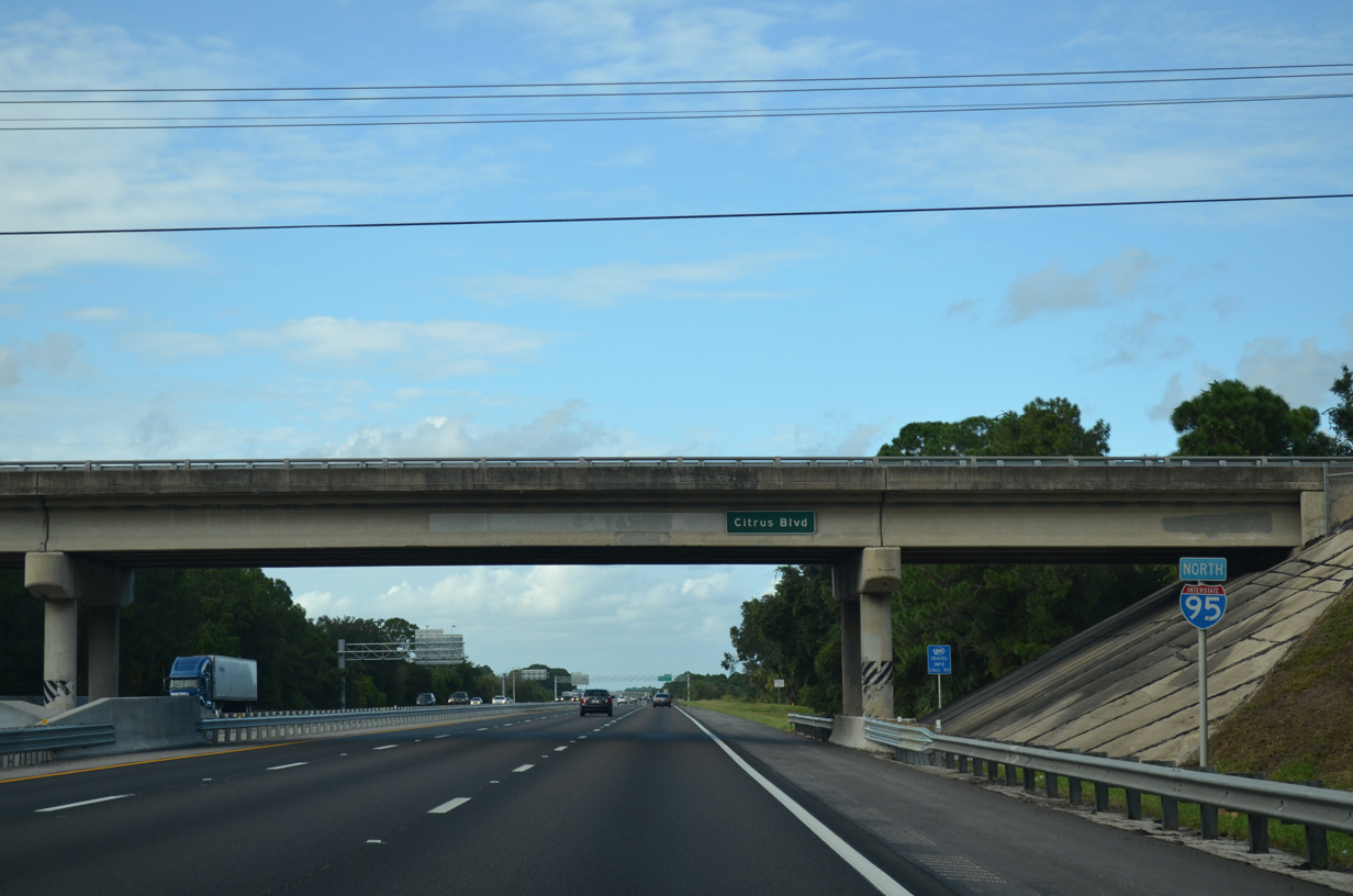
| Exit 205 B loops onto SR 528 (Beachline Expressway) west to Orlando. Motorists entering from SR 528 east join I-95 north 62 miles ahead of Daytona Beach. 04/24/19 |
|
| Interstate 95 north passes under Citrus Boulevard after the cloverleaf interchange with the Beachline Expressway. 09/28/13 |
|
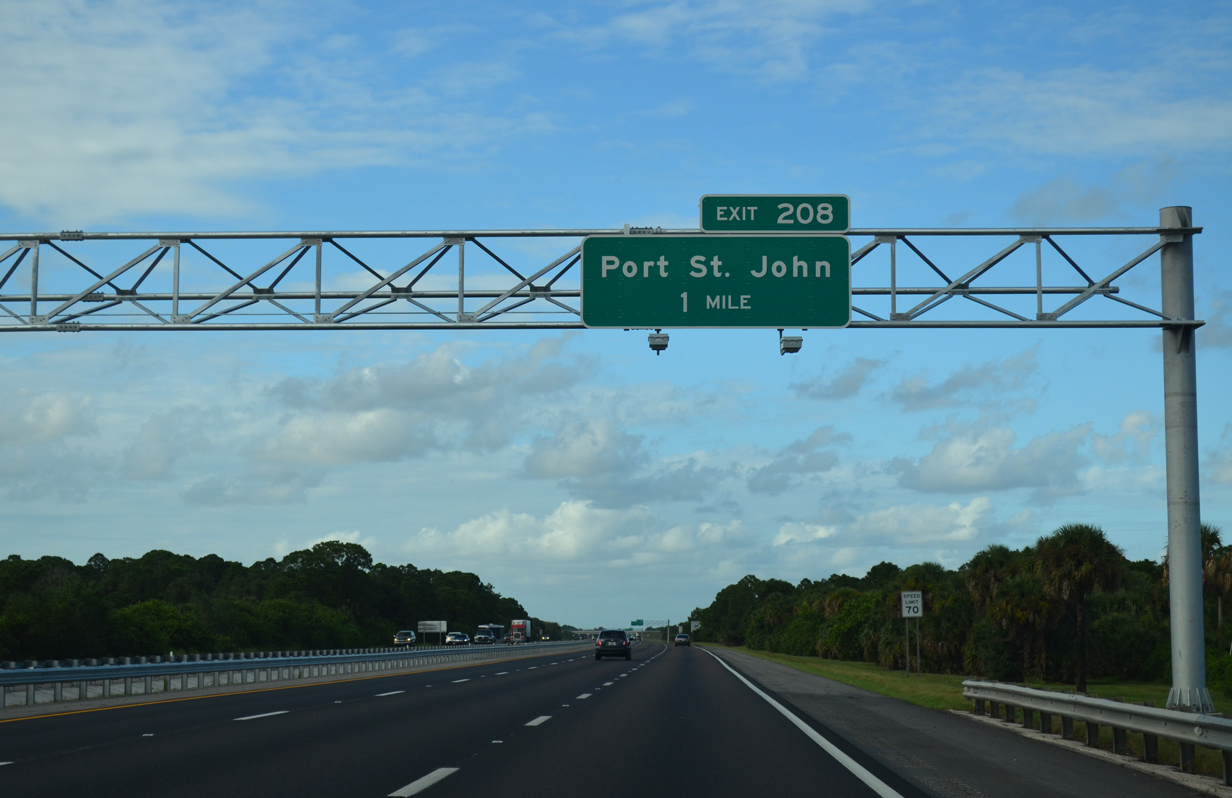
| Connecting I-95 with nearby Grissom Parkway and Port St. John, the upcoming diamond interchange (Exit 208) with Port St. John Parkway opened to traffic in 1999. 09/28/13 |
|
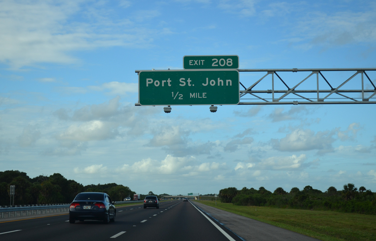
| Port St. John Parkway is a 1.5 mile long, four lane arterial linking Grissom Parkway with Interstate 95 and Golfview Avenue. The interchange has remained relatively undeveloped since it was added to the system. 09/28/13 |
|
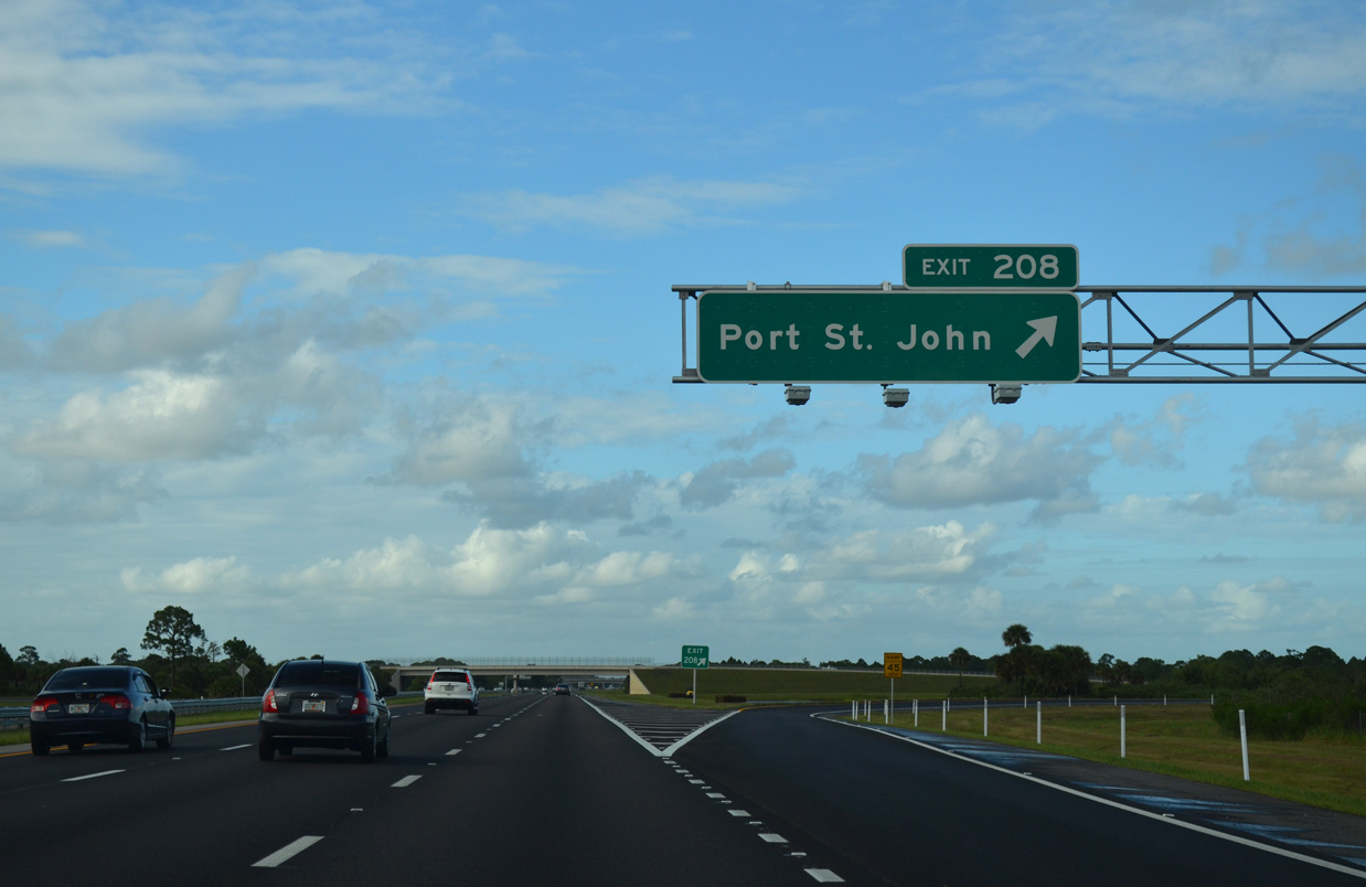
| The community of Port St. John lies 3.6 miles to the northeast of Exit 208 via Port St. John Parkway east and Grissom Parkway north. 09/28/13 |
|
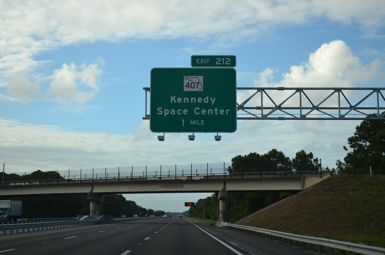
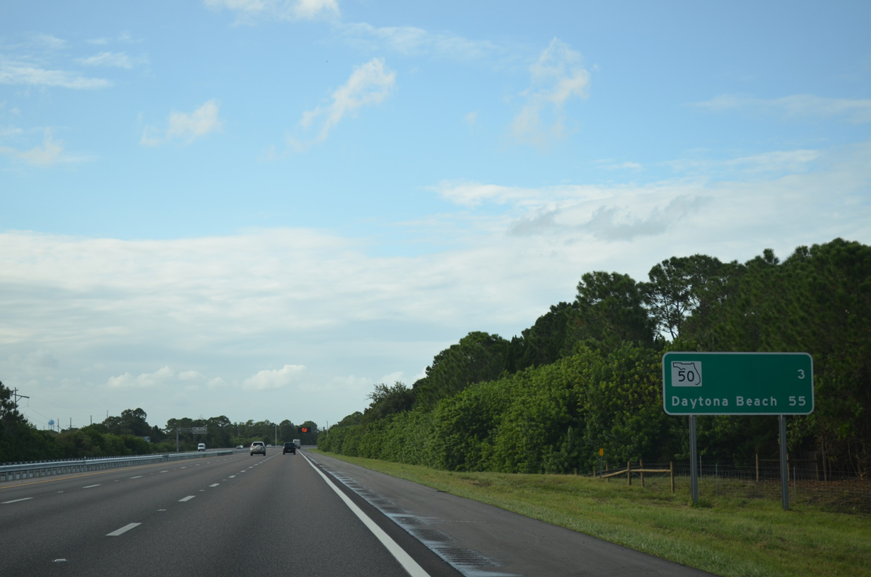
| North of the Fay Boulevard overpass, interchanges within the next seven miles join Interstate 95 with SR 407 at Exit 212 and SR 50 at Exit 215. 09/28/13 |
|
| Ranch Road passes over I-95 one mile ahead of the parclo B2 interchange (Exit 212) with SR 407 (Challenger Memorial Parkway). SR 407 was constructed in conjunction with the Bee Line Expressway (SR 528) to connect Orlando with Kennedy Space Center. 09/28/13 |
|
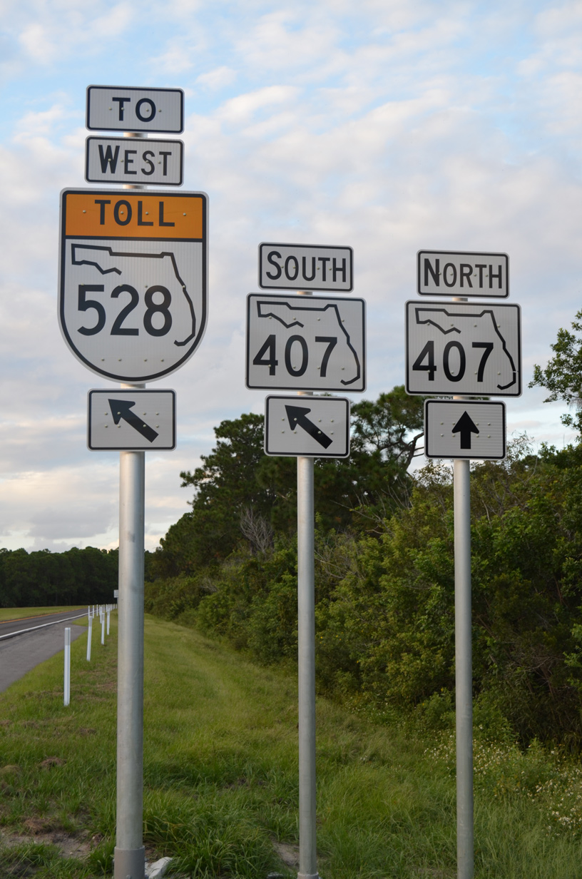
| Modifications made at Exit 212 in 2013 added a ramp linking I-95 north with SR 407 south. SR 407 provides another alternate route from I-95 to the Orlando area. The state road merges with SR 528 (Beachline Expressway) 1.2 miles ahead of the St. Johns River and Orange County line. 09/28/13 |
|
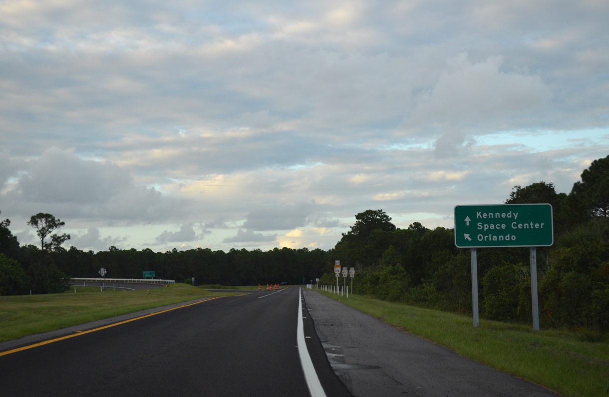
| SR 407 (Challenger Memorial Parkway) angles 1.1 miles northeast to Shepard Drive for Space Coast Regional Airport (TIX) and 2.3 miles to SR 405 (Columbia Boulevard) east toward Kennedy Space Center. 09/28/13 |
|
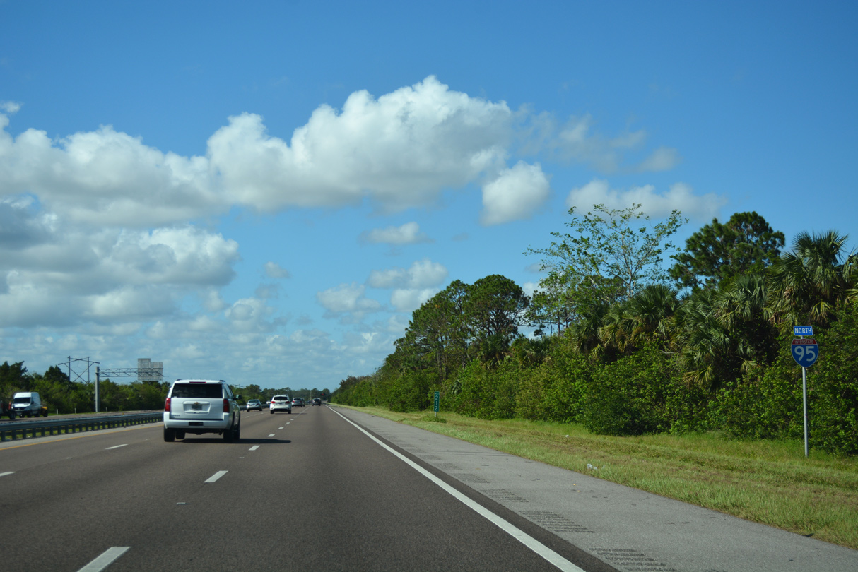
| Northwest of SR 407 / Exit 212 the freeway runs between Windover Farms subdivision and Canaveral Marshes Conservation Area. 10/14/17 |
|
| Advancing to Titusville on Interstate 95 northbound, three miles south of SR 50 (Cheney Highway). 09/28/13 |
|
| SR 50 represents a major highway between the Space Coast and the greater Orlando area. The state road ends concludes to the east at U.S. 1 (Washington Avenue) in south Titusville. 10/14/17 |
|
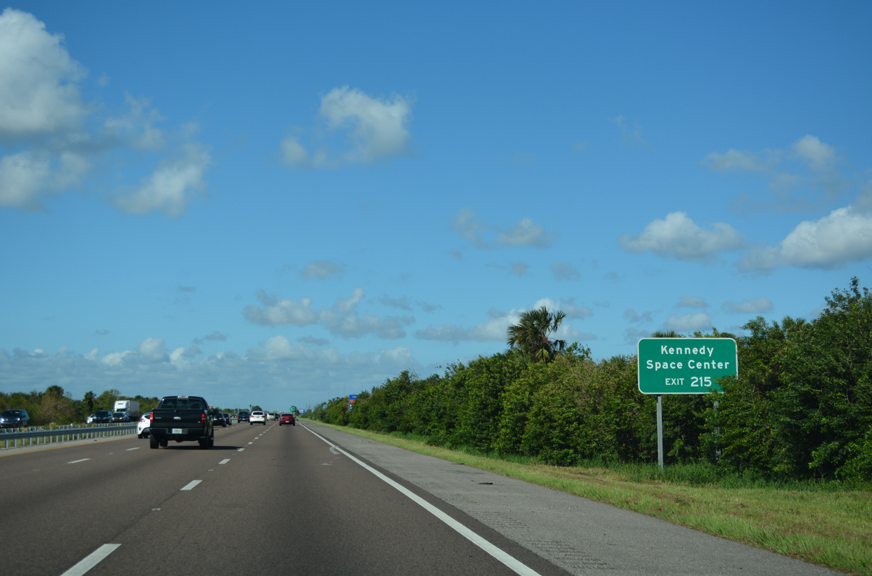
| SR 405 (Columbia Boulevard) connects with SR 50 just east of the exchange with Interstate 95. SR 405 encircles Titusville southward to NASA Parkway, which extends east to Kennedy Space Center. 10/14/17 |
|
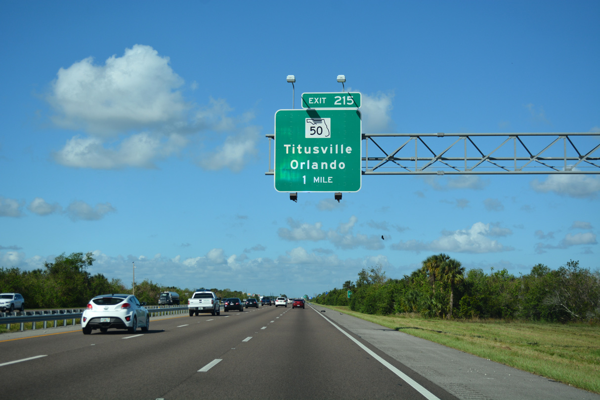
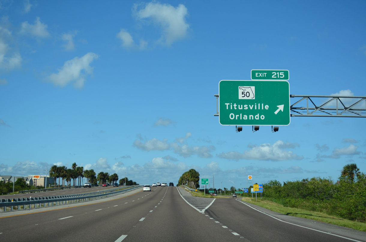
| SR 50 (Cheney Highway) ventures west from the diamond interchange (Exit 215) with I-95 through St. Johns Wildlife Refuge and other protected areas to Christmas in Orange County. Once in Union Park, SR 50 meets the SR 408 (East-West Expressway) toll road to Downtown Orlando. 10/14/17 |
|
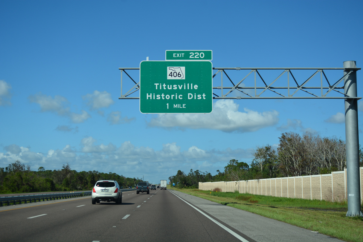
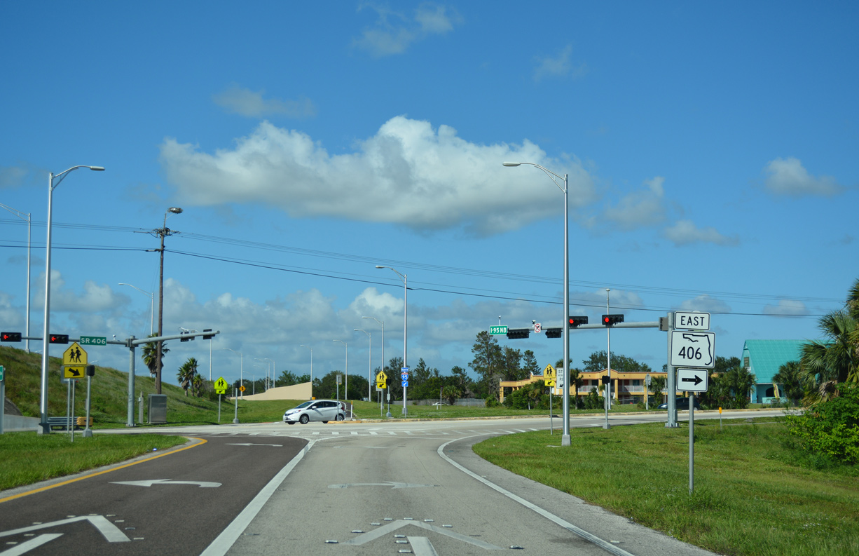
| The second Titusville exit joins Interstate 95 with SR 406 (Garden Street) west of the Downtown historic district. 10/14/17 |
|
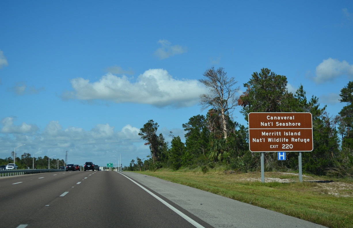
| CR 402 extends east from SR 406 and U.S. 1 in Titusville across A. Max Brewer Memorial Parkway and the Indian River to Canaveral National Seashore and the Merrit Island National Wildlife Refuge. CR 402 spurs 11.77 miles east to Wilson and Playalinda Beach. 10/14/17 |
|
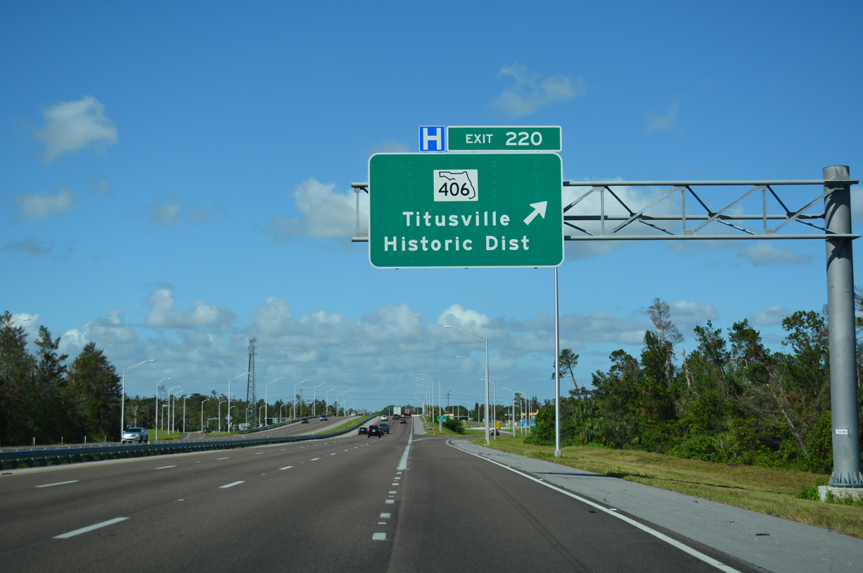
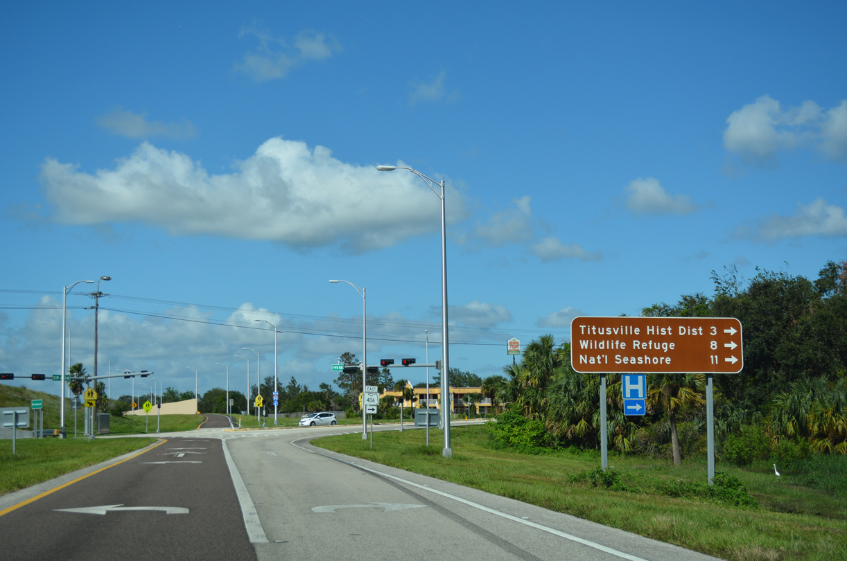
| Exit 220 leaves I-95 north for SR 406 (Garden Street) and Downtown Titusville. CR 406 stems 0.41 mile west from the exchange to parallel Carpenter Road. 10/14/17 |
|
| State Road 406 runs 2.95 miles east from the diamond interchange with I-95 to U.S. 1 (Washington Avenue) and CR 402. 10/14/17 |
|
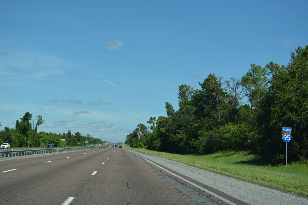
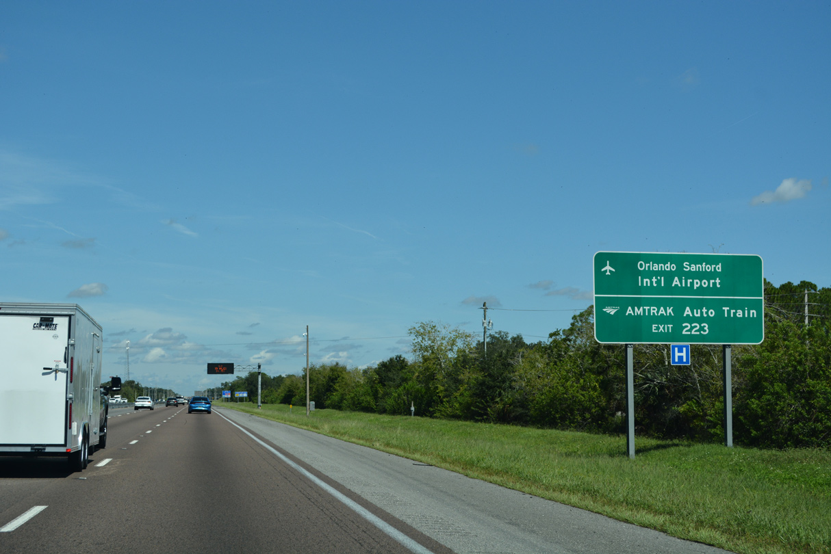
| Interstate 95 continues from SR 406 toward Exit 223 for SR 46 and Volusia County. 09/12/22 |
|
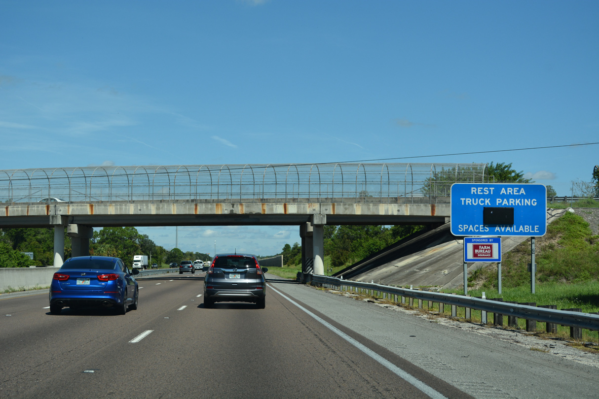
| Dairy Road spans the freeway by a dynamic message sign indicating the number of spaces available for truck parking at the rest area located north of SR 46. 09/12/22 |
|
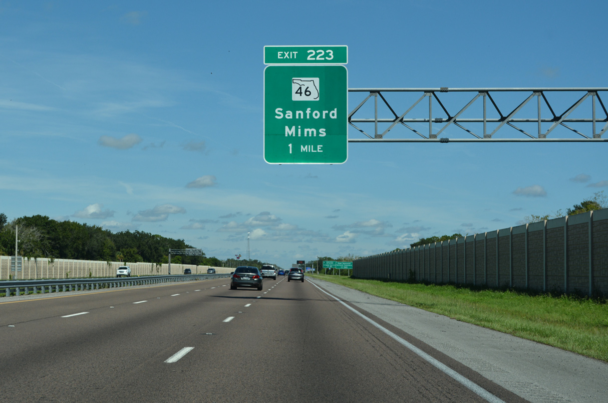
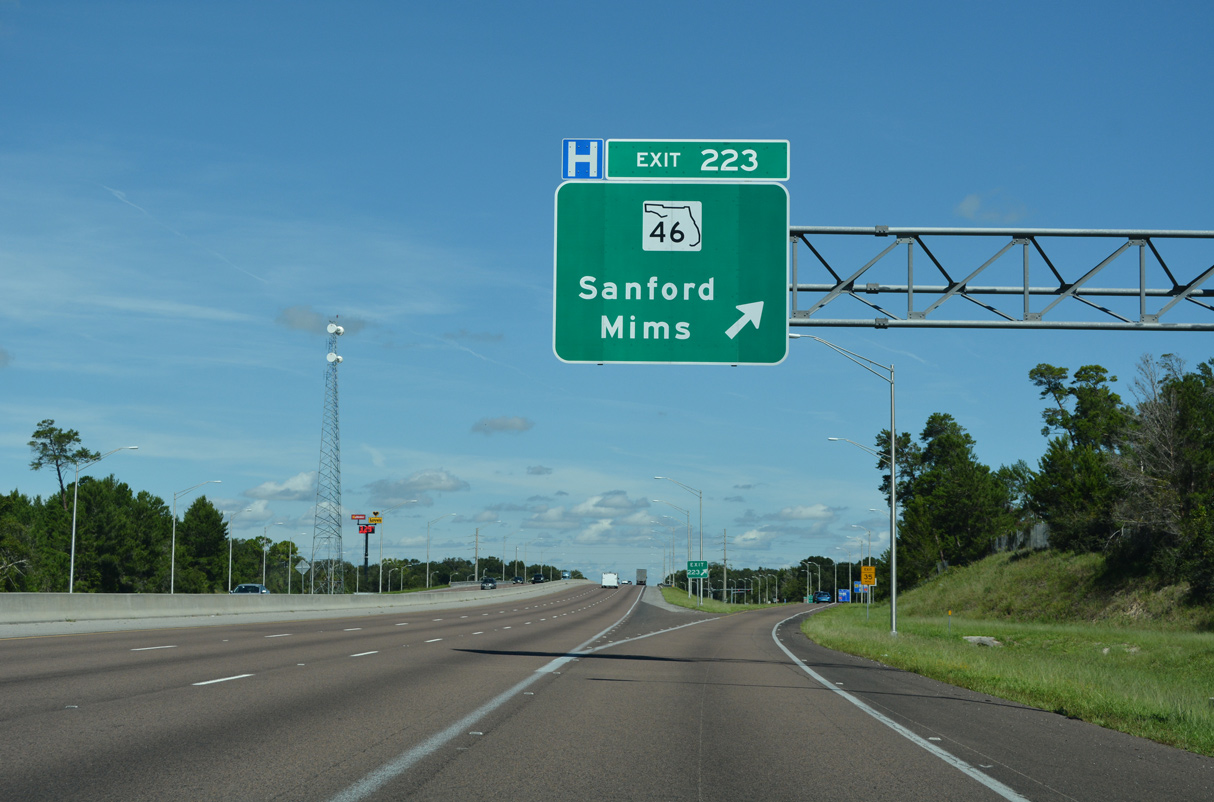
| SR 46 (Main Street) meets Interstate 95 at a diamond interchange (Exit 223) near Mims in one mile. 09/12/22 |
|
| State Road 46 joins the Space Coast with Sanford and Lake Mary as well as Orlando-Sanford International Airport (SFB) and the AMTRAK Auto Train. 09/12/22 |
|
| SR 46 travels 39.49 miles west from Mims to SR 429 (Wekiva Parkway) at the Wekiva Park and Lake County line beyond Sanford. A second section of SR 46 links SR 453 (Mt. Dora Connector) with U.S. 441/SR 46, 2.51 miles to the west in Mt. Dora. 09/12/22 |
|
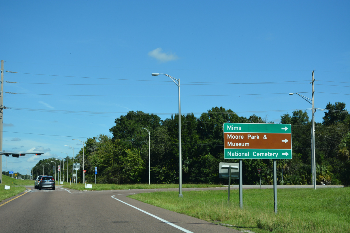
| Heading west from Exit 223, SR 46 travels to Southmere and across wetland areas along the St. Johns River into Seminole County. 09/12/22 |
|
| SR 46 east concludes 1.5 miles from Exit 223 at U.S. 1 and Main Street in the unincorporated community of Mims. 09/12/22 |
|
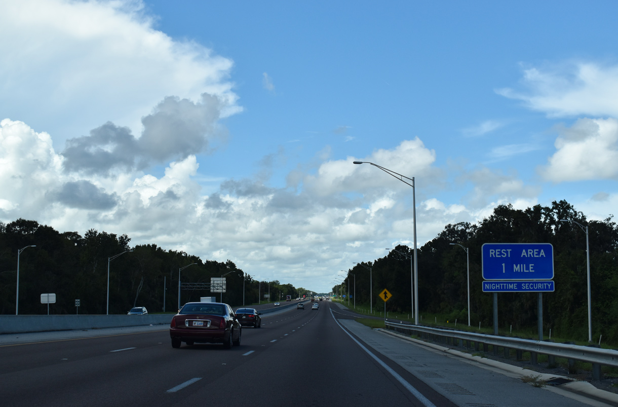
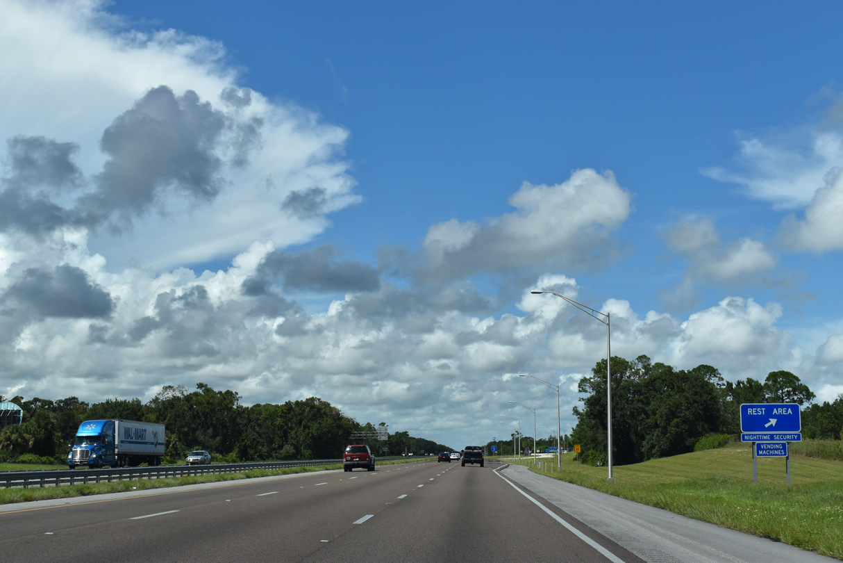
| The second rest area within Brevard County along I-95 north lies west of Indian River Preserve Golf Club. 09/08/18 |
|
| The succeeding rest area on I-95 is 77 miles north of the exchange with SR 46. 09/08/18 |
|
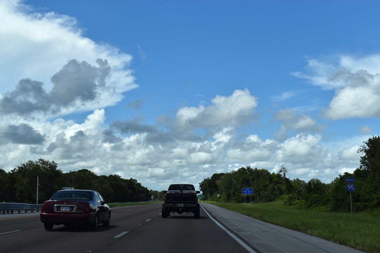
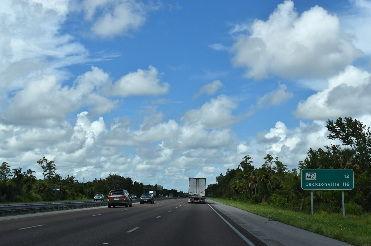
| A rural stretch ensues north from Mims six miles to Brevard County Road 5A. Jacksonville is 118 miles further via Interstate 95. 09/08/18 |
|
| Rest areas are provided in both directions of Interstate 95 north of Mims and south of Aurantia. 09/08/18 |
|
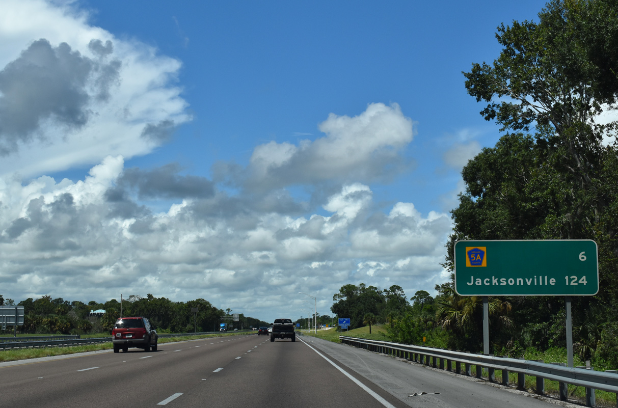
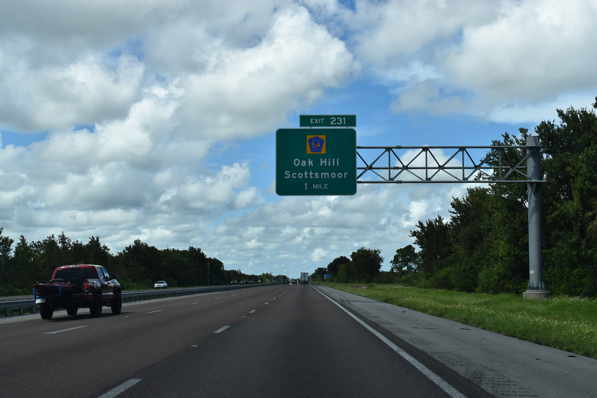
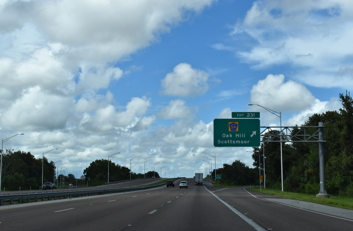
| Parallel U.S. 1 travels closer to Interstate 95 through the community of Scottsmoor. County Road 5A links the two highways via Exit 231. 09/08/18 |
|
| CR 5A (Deering Parkway) constitutes a 1.11 mile route between the diamond interchange (Exit 231) with I-95 and U.S. 1 just south of its northeasterly turn to Oak Hill in Volusia County. 09/08/18, 09/28/13 |
|
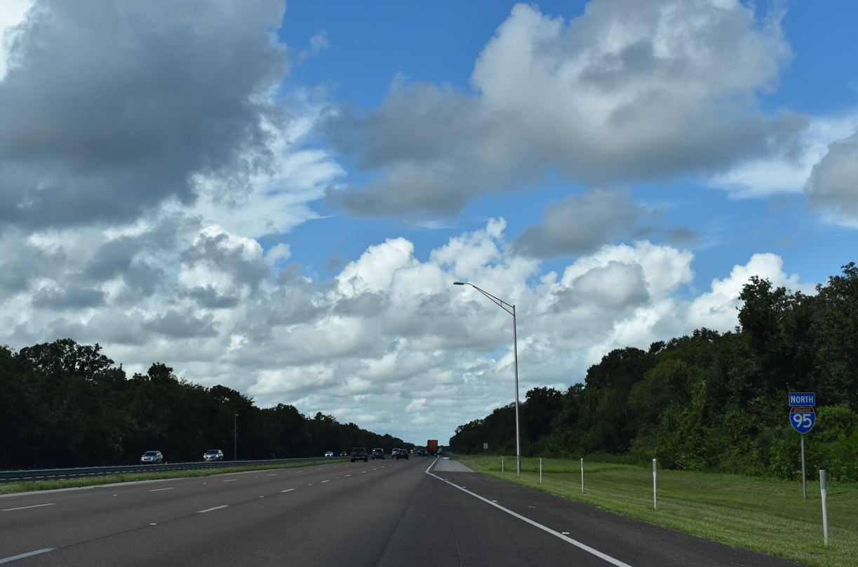
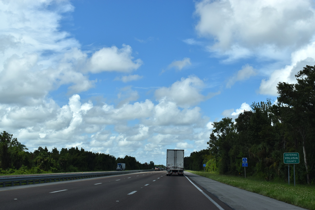
| Interstate 95 progresses north toward Edgewater across wetland areas west of Turnbull Hummock. 09/08/18 |
|
| Crossing into Volusia County on Interstate 95 north beyond milepost 232. 09/08/18 |
Page Updated 10-30-2022.

 North
North