|
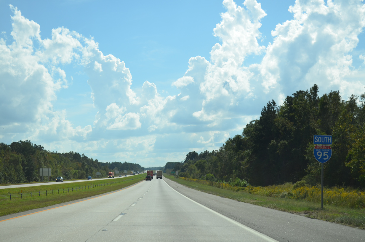
| I-95 leaves the St. George town limits across Polk Swamp beyond this confirming marker that was removed by 2015. 10/13/14 |
|
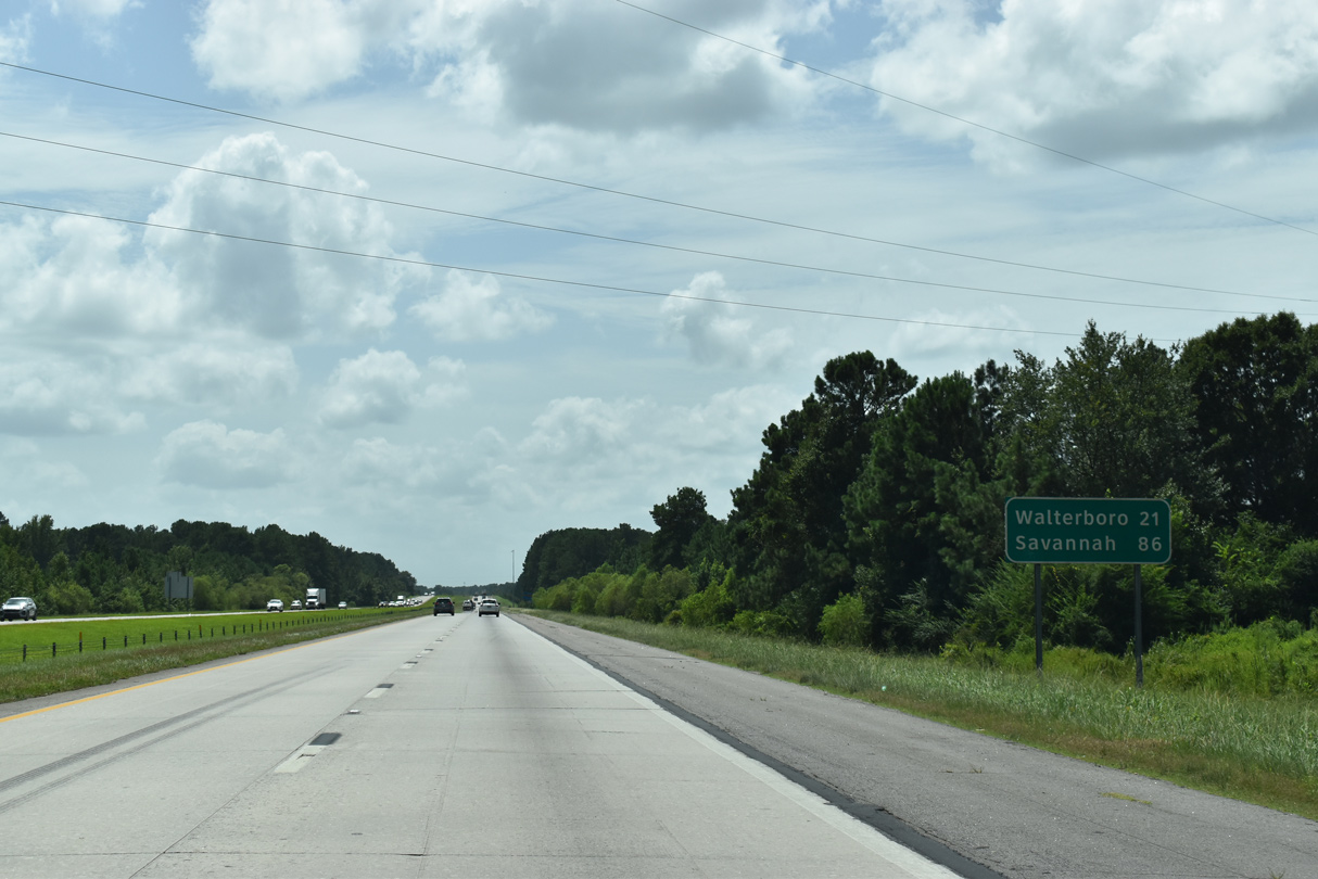
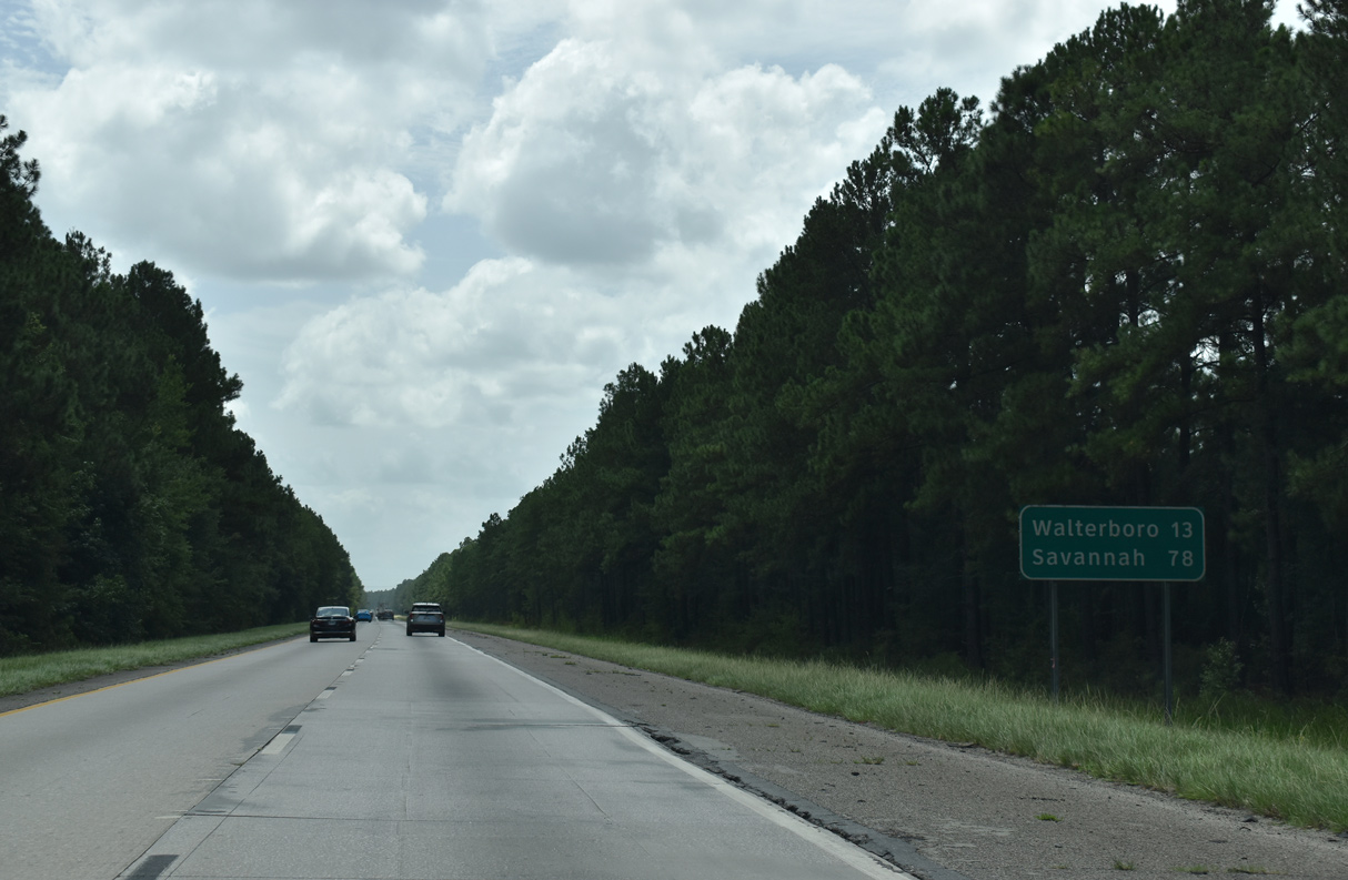
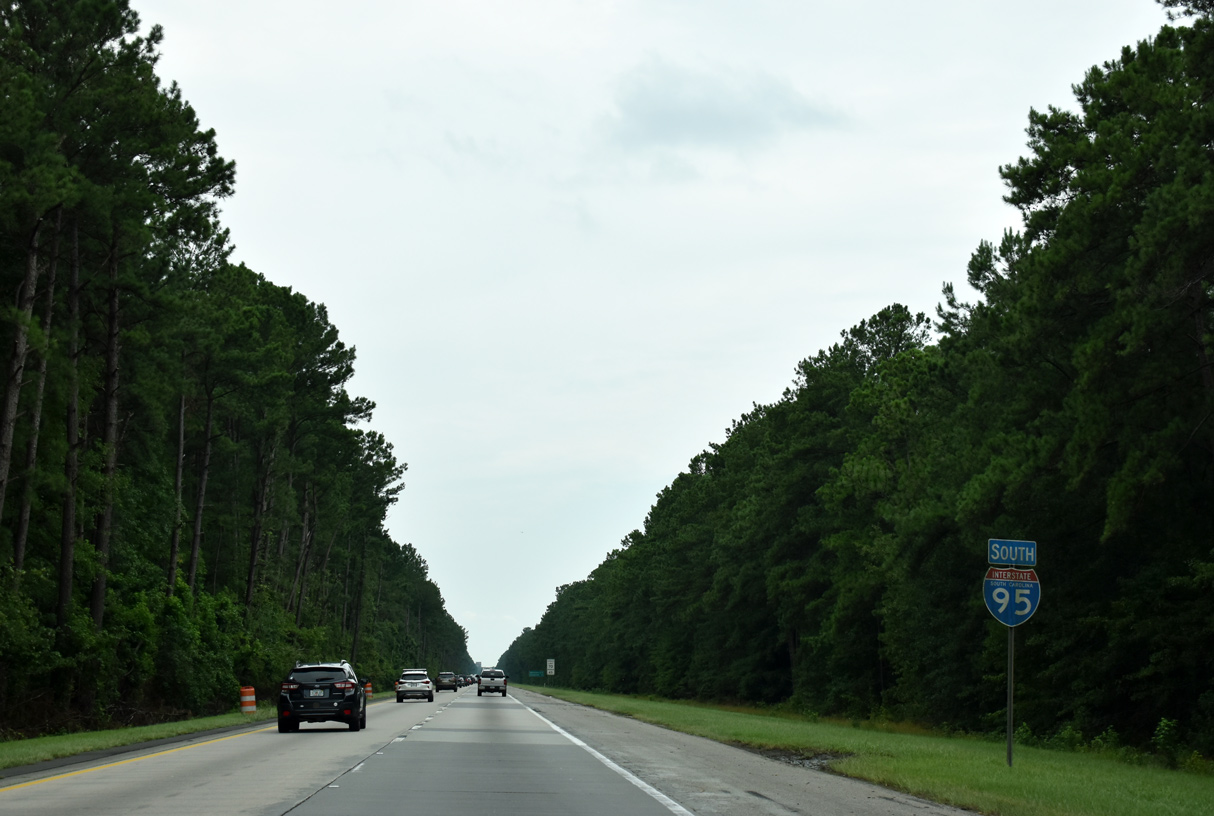
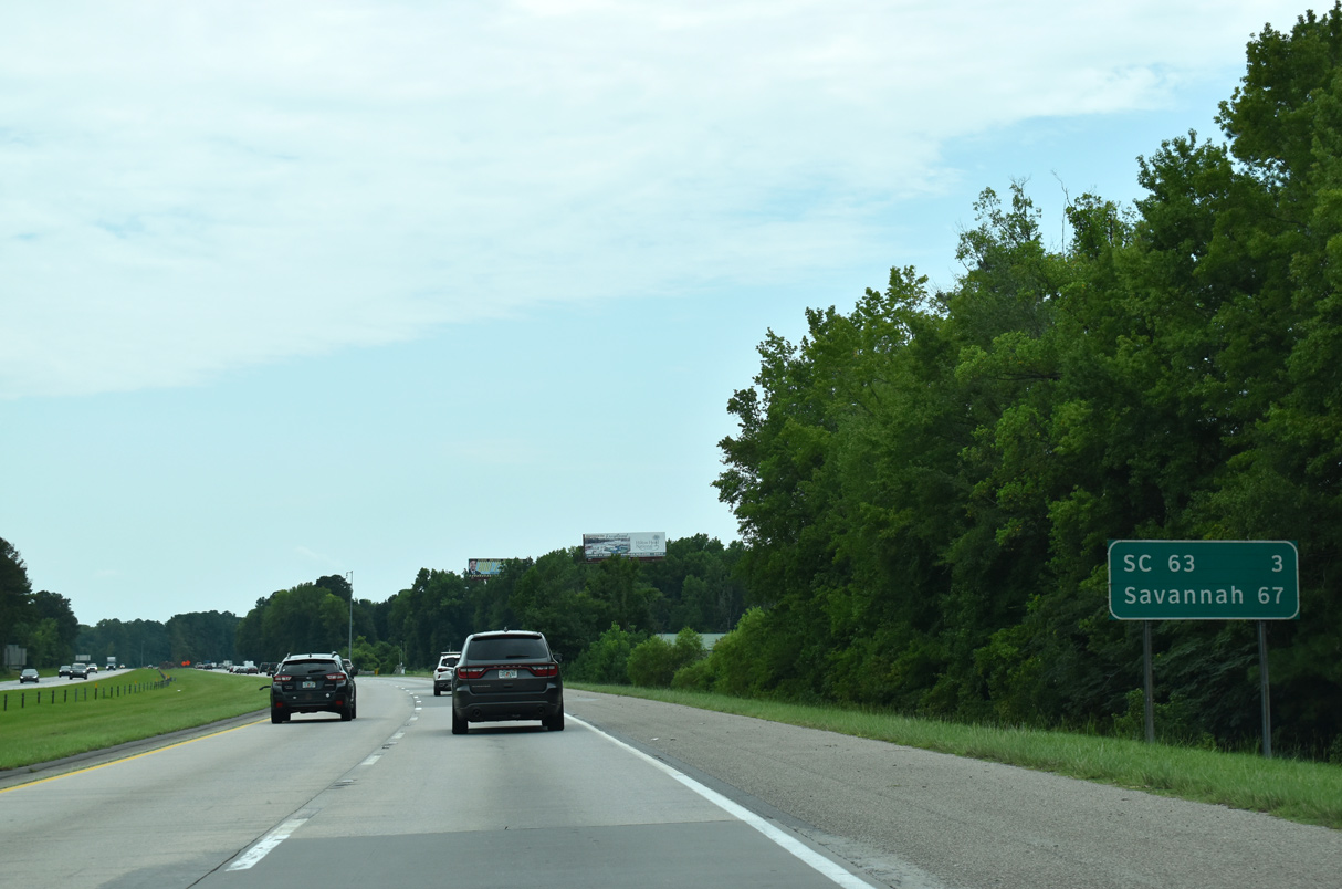
| The Colleton County seat of Walterboro is the next destination along Interstate 95 south in 21 miles. Savannah is another 65 miles further. 08/28/21 |
|
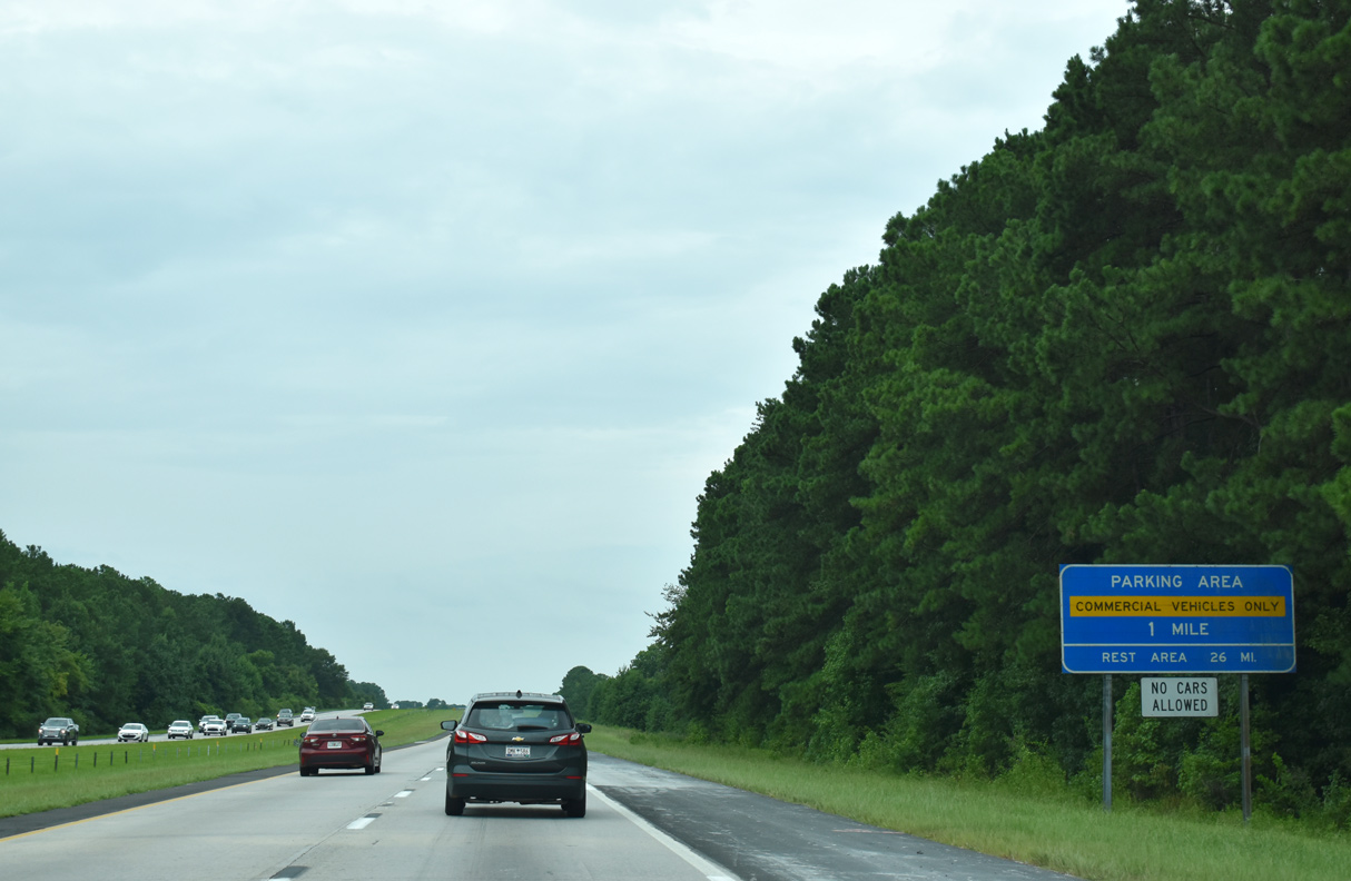
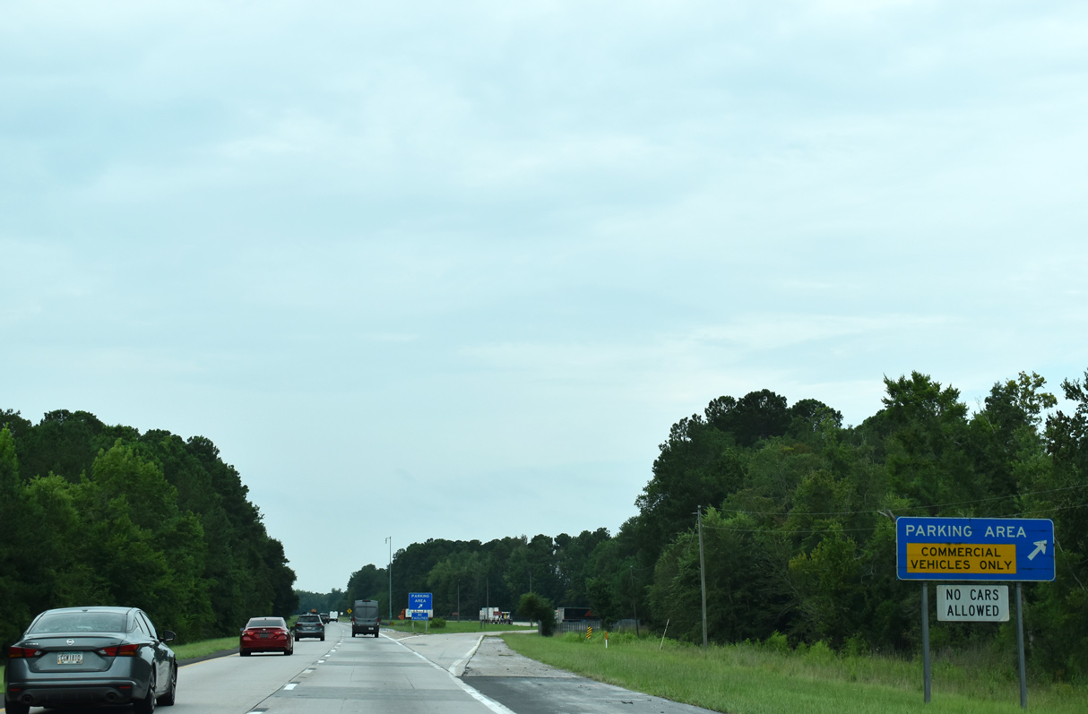
| A truck parking area follows along Interstate 95 south after Cowtail Creek. The adjacent northbound facility is a weigh station. 12/30/20 |
|
| I-95 shifts westward through an S-curve between the truck parking area and Wire Road (Road 19) overpass. 05/26/19 |
|
| Paralleling the Edisto River southeast from U.S. 78 in Branchville to Givhans Ferry State Park, forthcoming S.C. 61 is a 67.05 mile long highway southeast to S.C. 30 in Charleston. 08/28/21 |
|
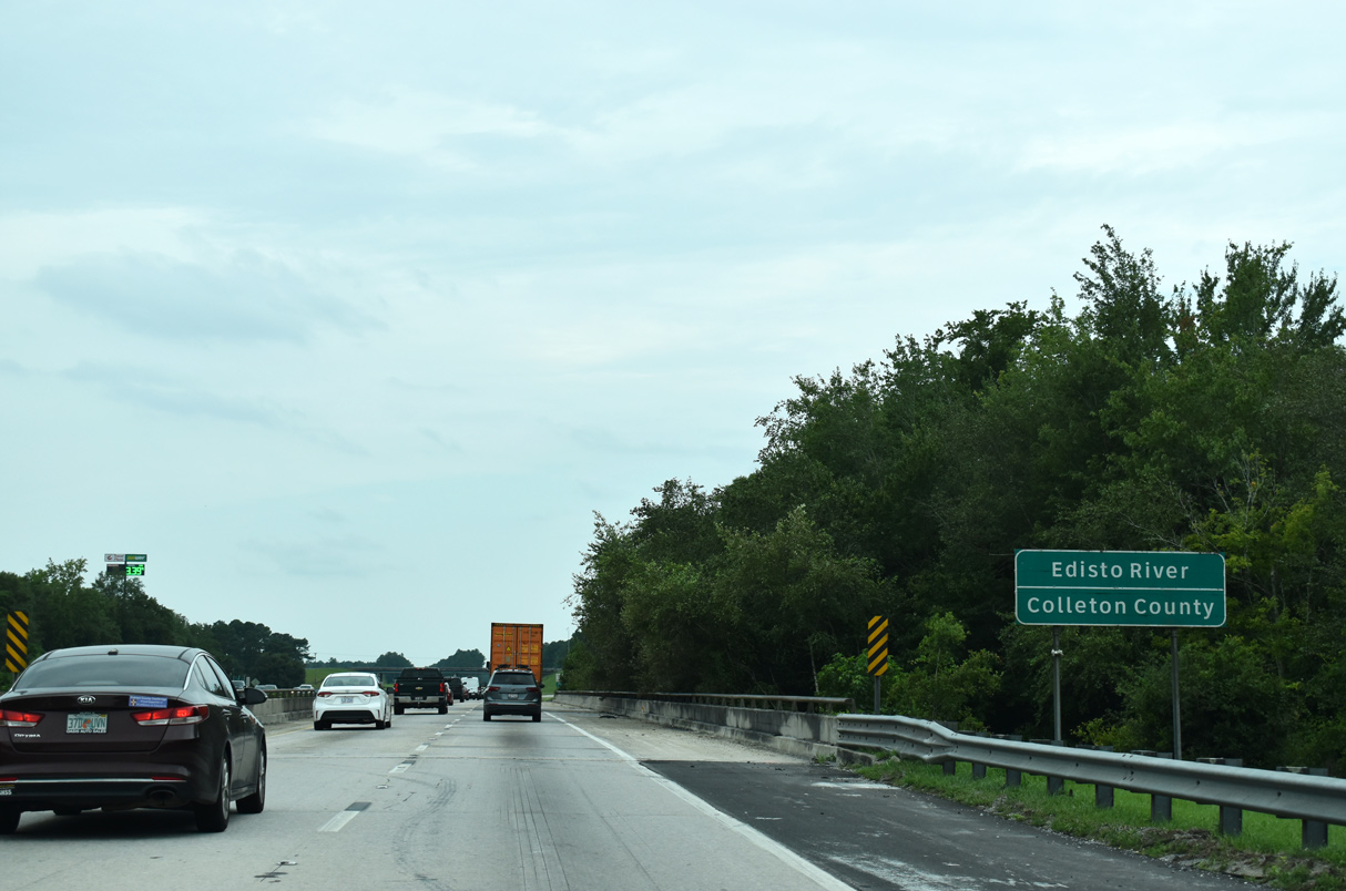
| An area of wetlands along I-95 south from Crooked Creek culminates at the 1974-built bridge across the Edisto River and Colleton County line. 08/28/21 |
|
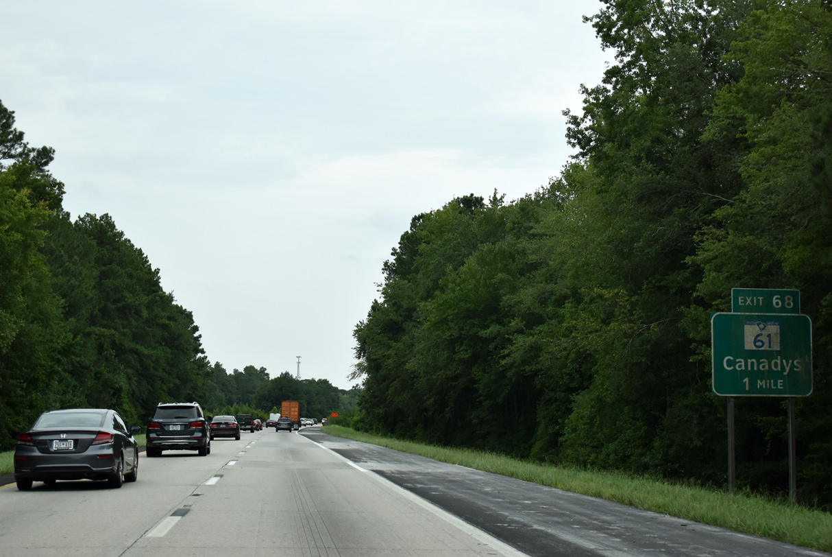
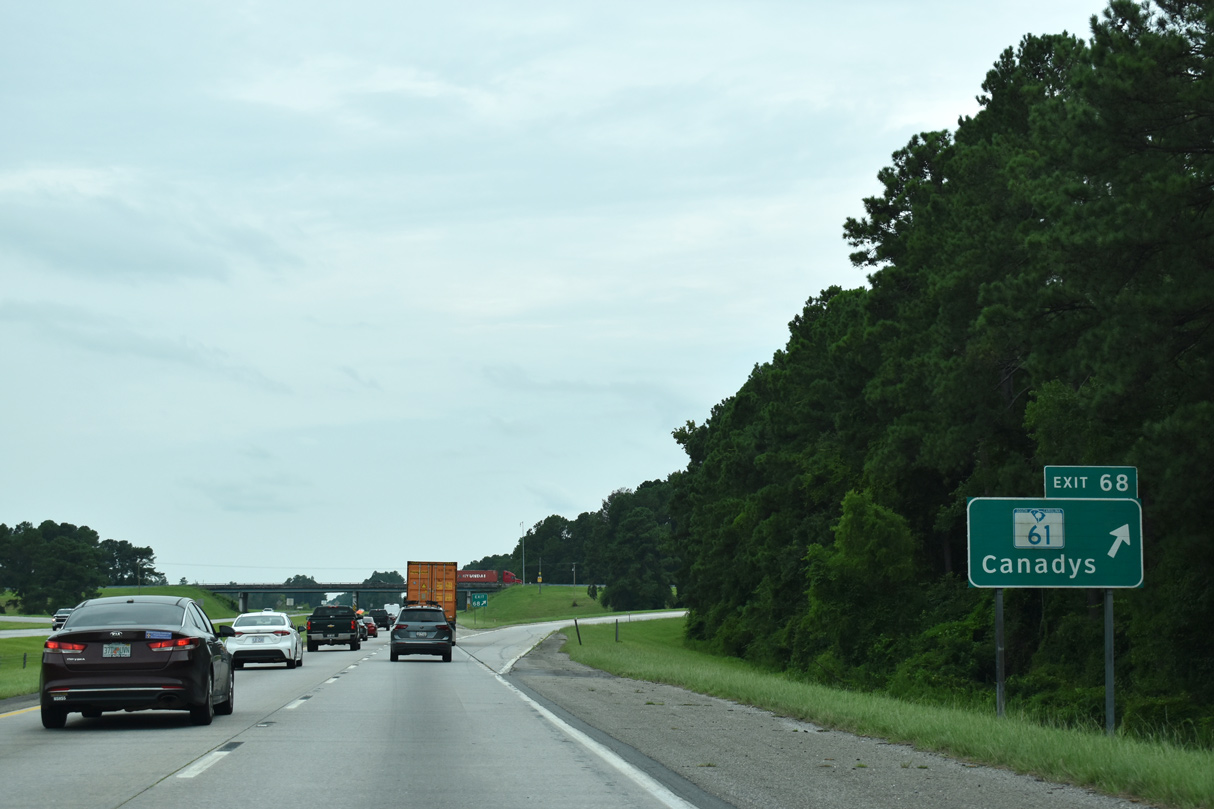
| Entering the diamond interchange (Exit 68) with S.C. 61 (Augusta Highway) on Interstate 95 south. Canadys lies 2.94 miles to the southeast at the cross roads with U.S. 15 (Jefferies Highway). 08/28/21 |
|
| Progressing southward, Interstate 95 makes sweeping curves through a large swath of pine forest over the next six miles. 08/28/21 |
|
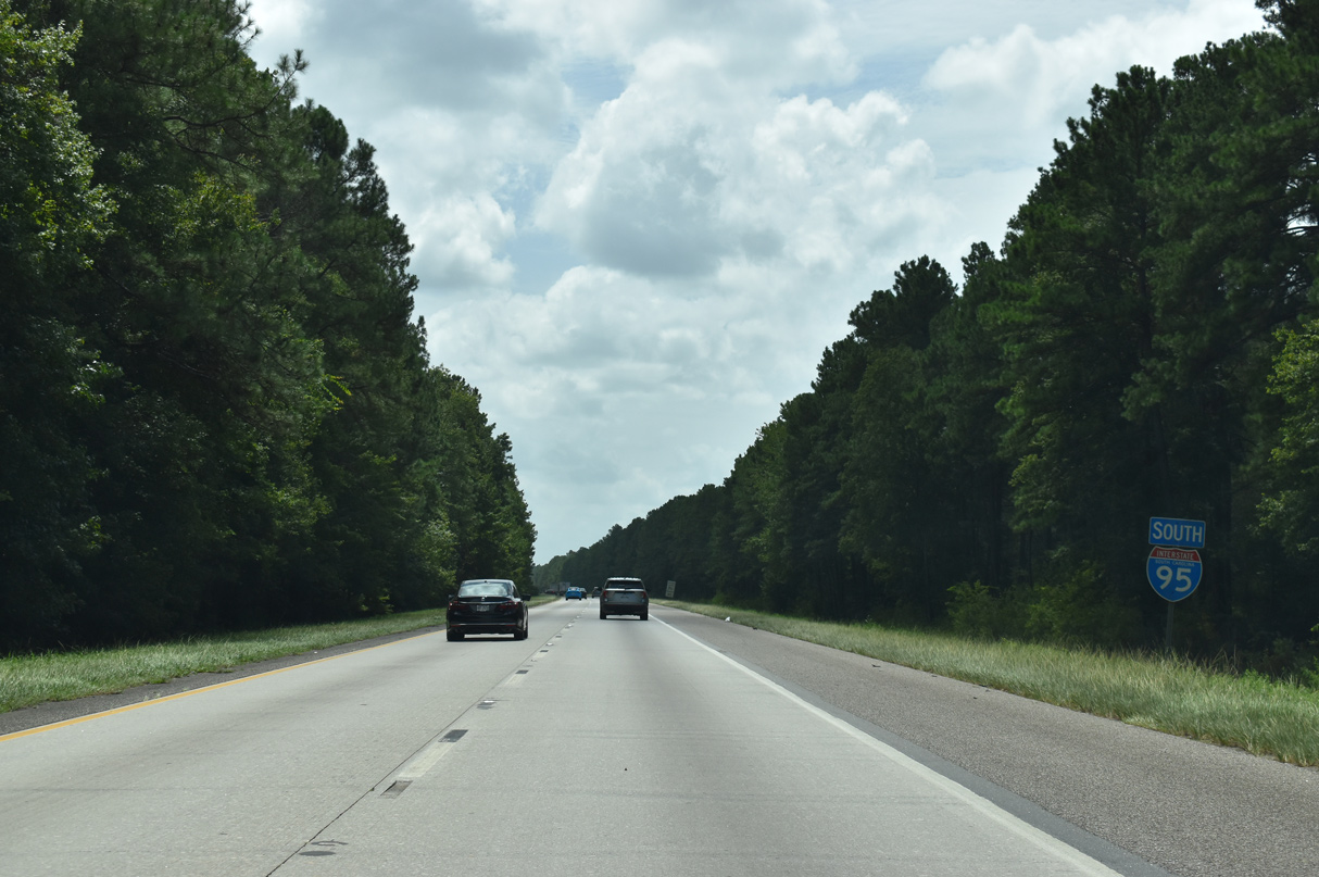
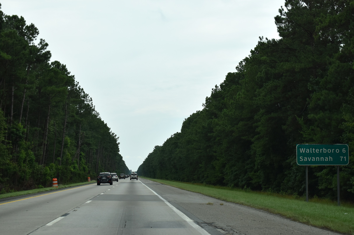
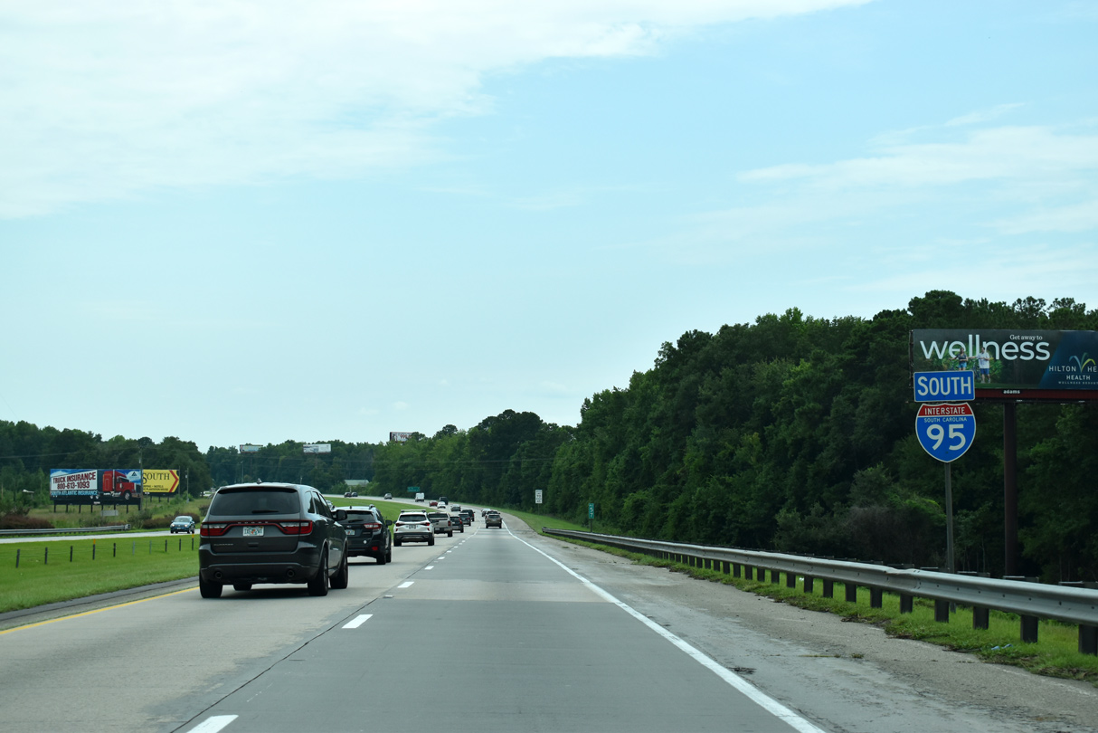
| Interstate 95 stays rural to the outskirts of Walterboro en route to Savannah in 78 miles. 08/28/21 |
|
| Interstate 95 south of the Hampton and Branchville Railroad and Weans Road underpass. 12/30/20 |
|
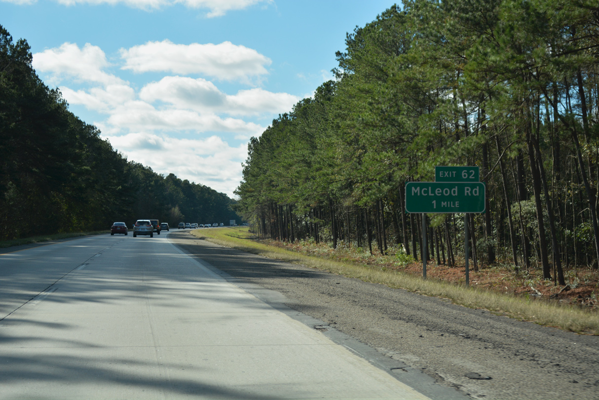
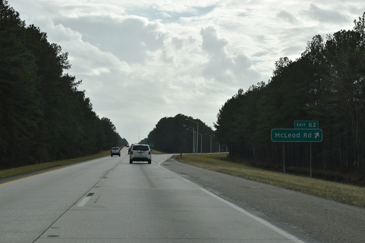
| A diamond interchange (Exit 62) connects I-95 with McLeod Road (Road 34) in one mile by the Colleton County Commerce Center. 01/05/19 |
|
| McLeod Road links I-95 with U.S. 15 (Jeffries Highway) 2.70 miles to the east and Mt. Caramel Road 1.25 miles to the west from Exit 62. 12/30/20 |
|
| Confirming marker for I-95 south posted after McLeod Road (Road 34). 05/26/19 |
|
| I-95 proceeds south six miles toward Walterboro and 71 miles to Savannah, Georgia. 01/05/19 |
|
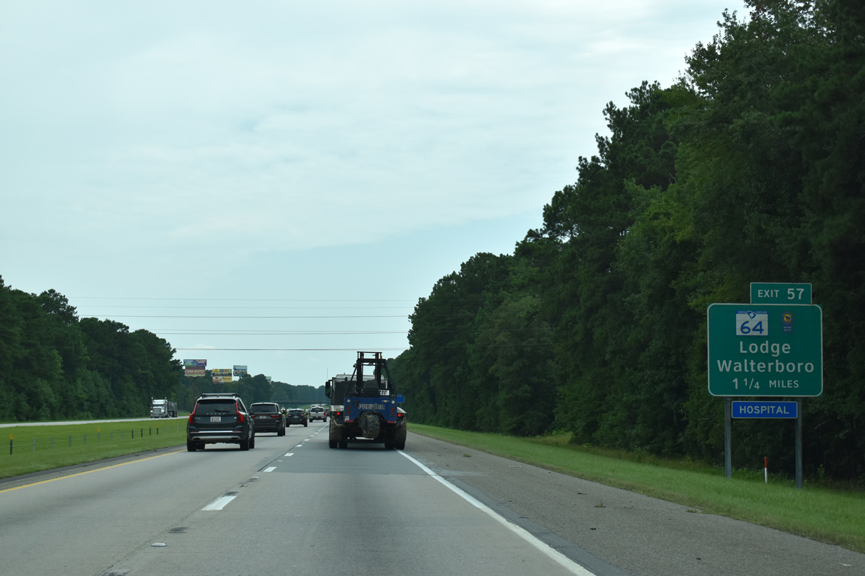
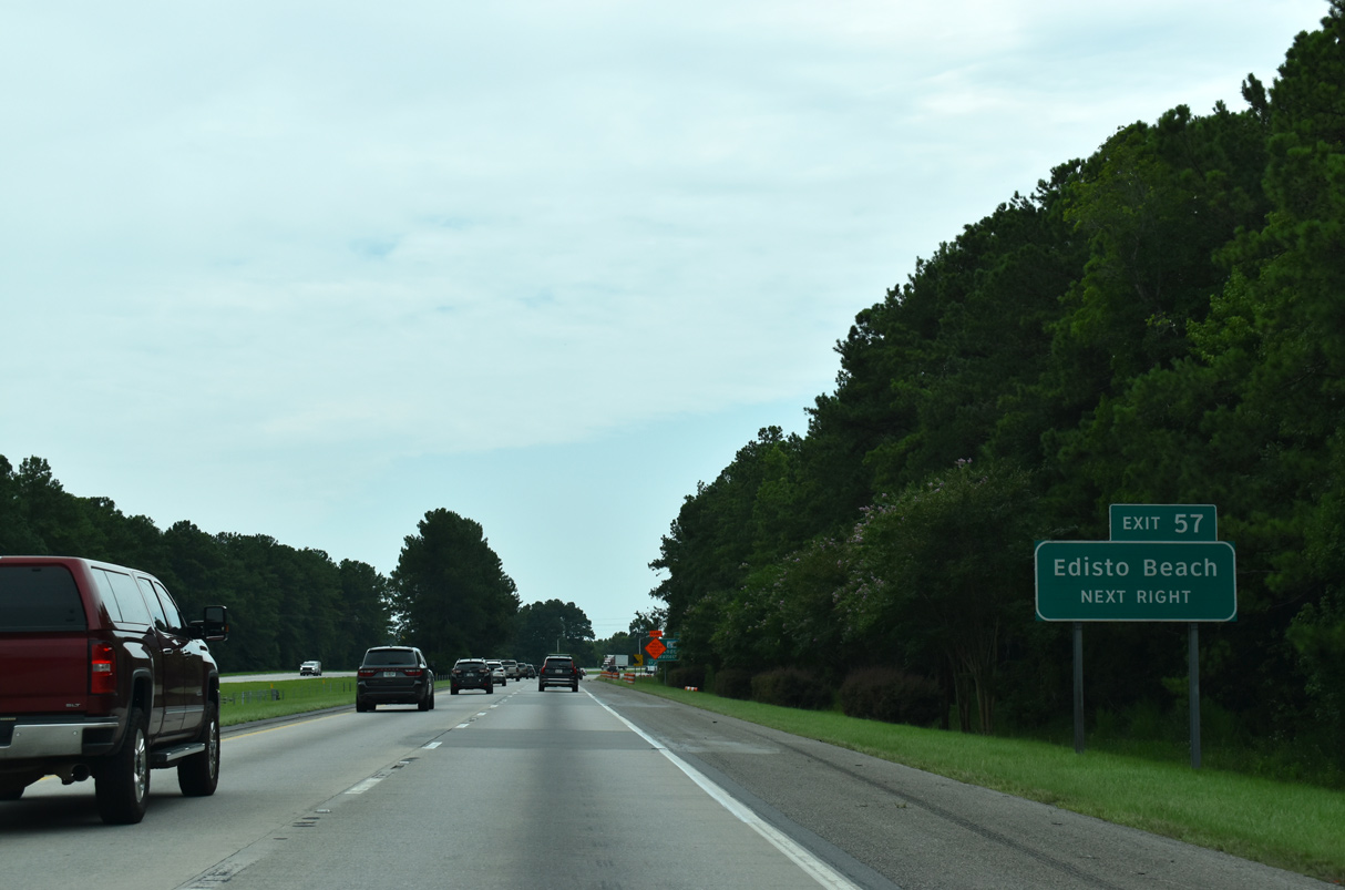
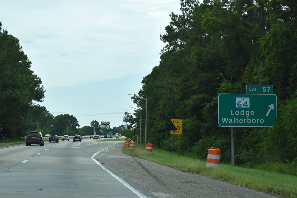
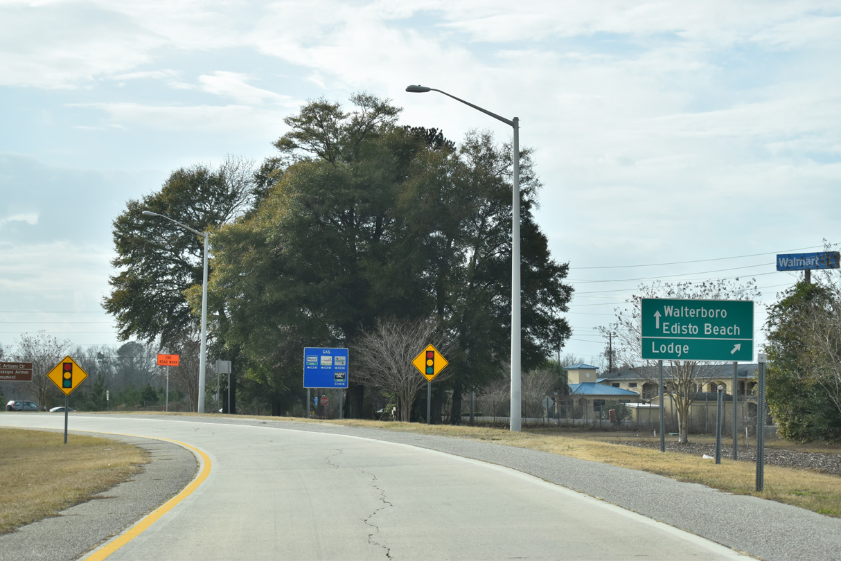
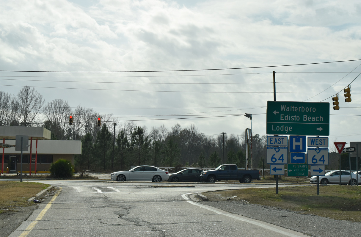
| S.C. 64 (Bells Highway) branches northwest from U.S. 15 (Jeffries Boulevard) along a commercial arterial to meet Interstate 95 at Exit 57. S.C. 64 joins Walterboro with rural areas to S.C. 217 at Lodge, 19.3 miles to the west. 12/30/20 |
|
| The east end of S.C. 64 (Charleston Highway) ties into U.S. 17 (Ace Basin Parkway) at Jacksonboro. 6.95 miles east from there in Charleston County, U.S. 17 connects with S.C. 174 south to Edisto Beach. 12/30/20 |
|
| S.C. 64 constitutes a scenic route for the majority of its 73.73 mile route west from U.S. 17 at Jacksonboro to the U.S. Department of Energy Savannah River Site beyond Barnwell. 01/05/19 |
|
| A folded diamond interchange joins I-95 south with S.C. 64 (Bells Highway) at Exit 57 opposite from an abandoned railroad grade. 12/30/20 |
|
| S.C. 64 (Bells Highway) partitions with a business route 1.05 miles to the east at Robertson Boulevard. S.C. 64 Business overlaps with U.S. 15 and then U.S. 17A through Downtown Walterboro. 12/30/20 |
|
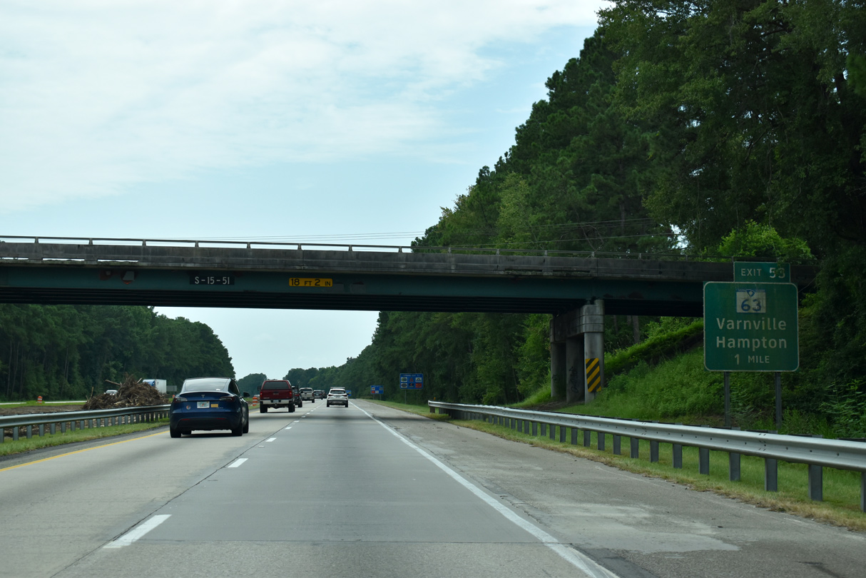
| Interstate 95 bypasses Walterboro to the west between S.C. 64 and S.C. 63. 08/28/21 |
|
| Continuing south, I-95 traverses Great Swamp on the three mile drive to S.C. 63 (Sniders Highway). Savannah is a 67 miles away via I-95 and U.S. 17 south. 08/28/21 |
|
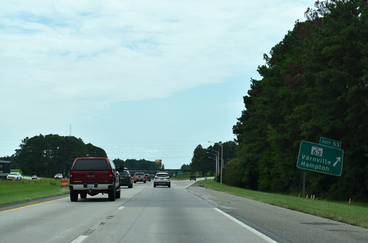
| Beach Road (Road 51) spans Interstate 95, one mile north of the diamond interchange (Exit 53) with S.C. 63. 08/28/21 |
|
| S.C. 63 east combines with U.S. 17 ALT in 1.8 miles en route to Downtown Walterboro. U.S. 17 ALT parallels I-95 south from the city to Hendersonville and Yemassee. 08/28/21 |
|
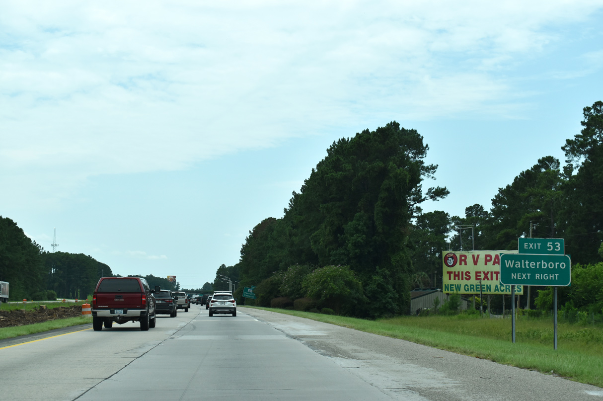
| S.C. 63 (Sniders Highway) ventures west from I-95 at Walterboro 8.21 miles to U.S. 21 and 23.60 miles to U.S. 278 in Varnville, near the Hampton County seat of Hampton. 08/28/21 |
|
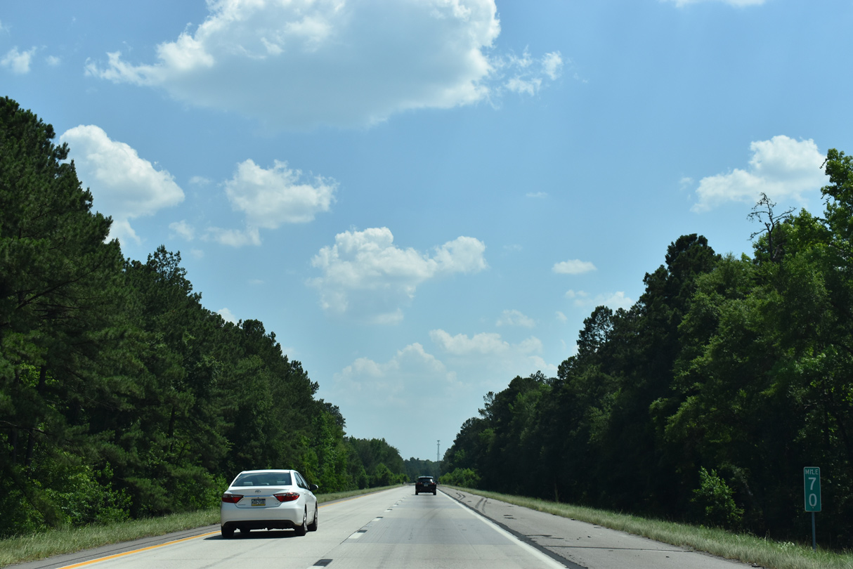
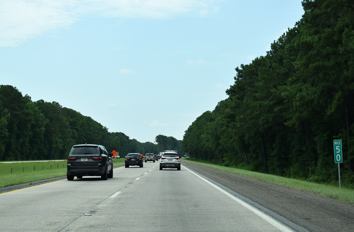
| 10.51 miles in length, the longest exit less stretch along Interstate 95 in South Carolina runs through southern Colleton County. This confirming marker south of S.C. 63 was removed after 2015. 10/13/14 |
|
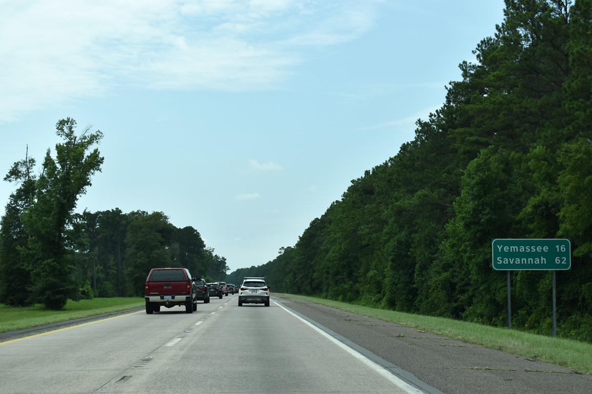
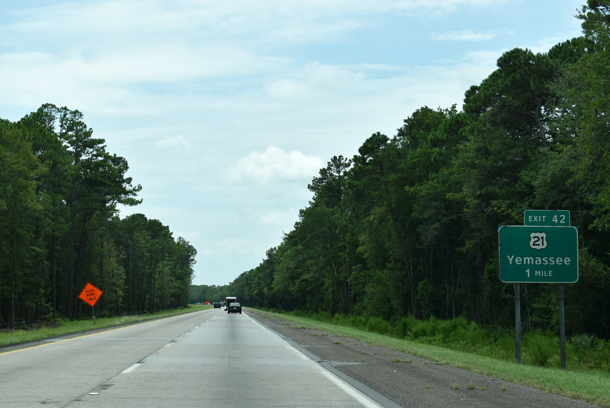
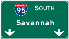
| Yemassee, a rural town along U.S. 21/17 Alternate, lies 16 miles ahead. Travelers headed for Savannah depart in nine exits to reach the colonial era city in 62 miles. 08/28/21 |
|
| 41,100 vehicles per day were recorded by SCDOT between Exits 53 and 42 in 2015. 12/21/13 |
|
| Curving southwest after the Crosby Corner Road (Road 522) overpass along Interstate 95. 05/26/19 |
|
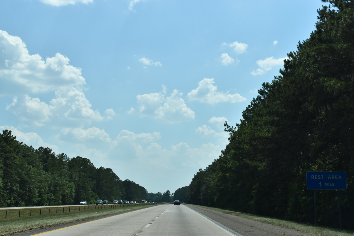
| One mile ahead of the final rest area in the Palmetto State on I-95 south. The succeeding area is the Georgia Welcome Center in Chatham County. 05/26/19 |
|
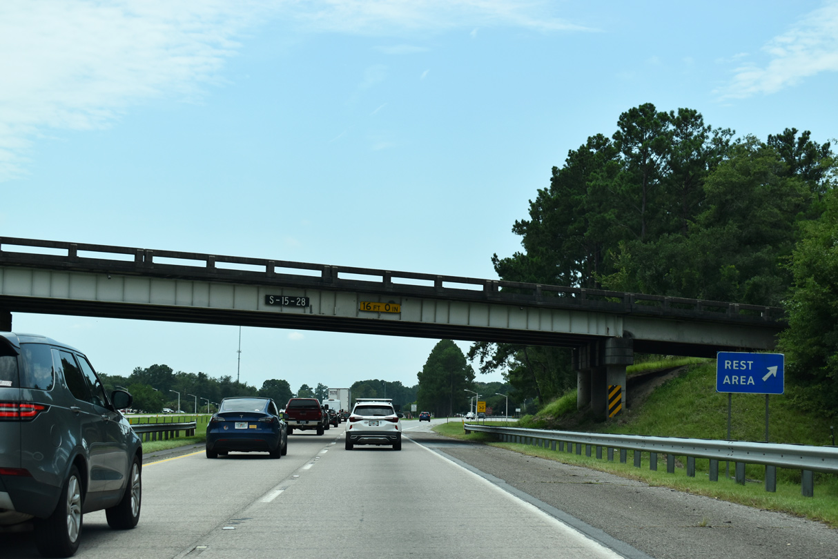
| Rest areas line both sides of the freeway south of the Black Creek Road (Road 28) over crossing. 12/30/20 |
|
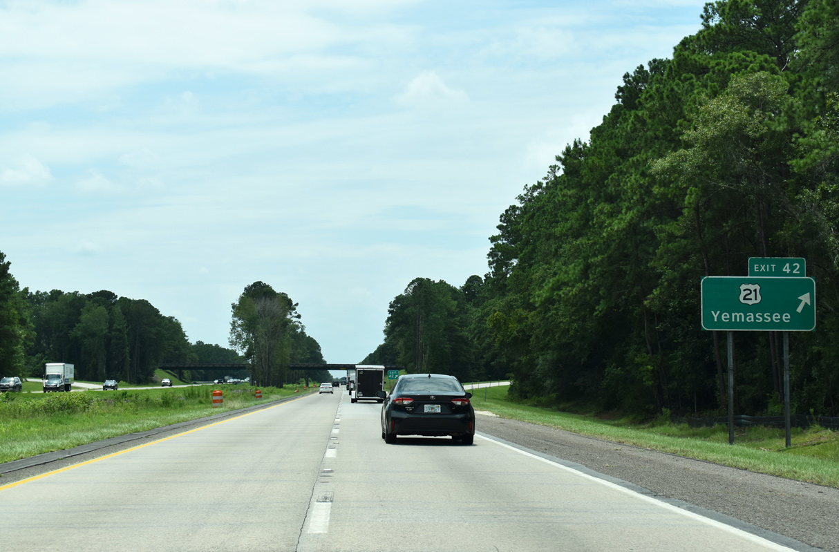
| U.S. 21 (Lowcountry Highway) travels 19 miles south from Ruffin to a diamond interchange (Exit 42) with Interstate 95. U.S. 21 continues another 2.70 miles by Jonesville to combine with U.S. 17 Alternate ahead of Yemassee. 08/28/21 |
|
| Exit 42 leaves Interstate 95 south for U.S. 21 (Lowcountry Highway). U.S. 21 follows a rural course north to Branchville and Orangeburg, where it accompanies the I-26 corridor to Columbia. 08/28/21 |
|
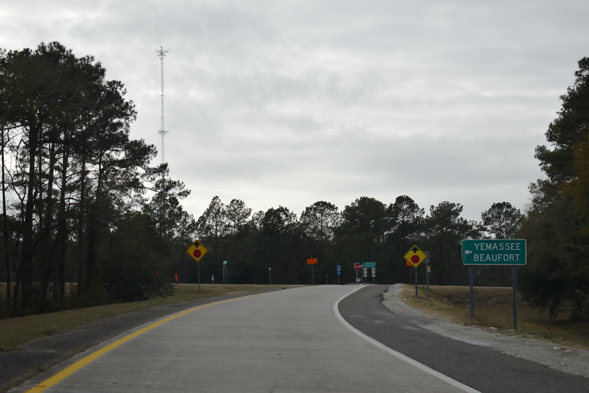
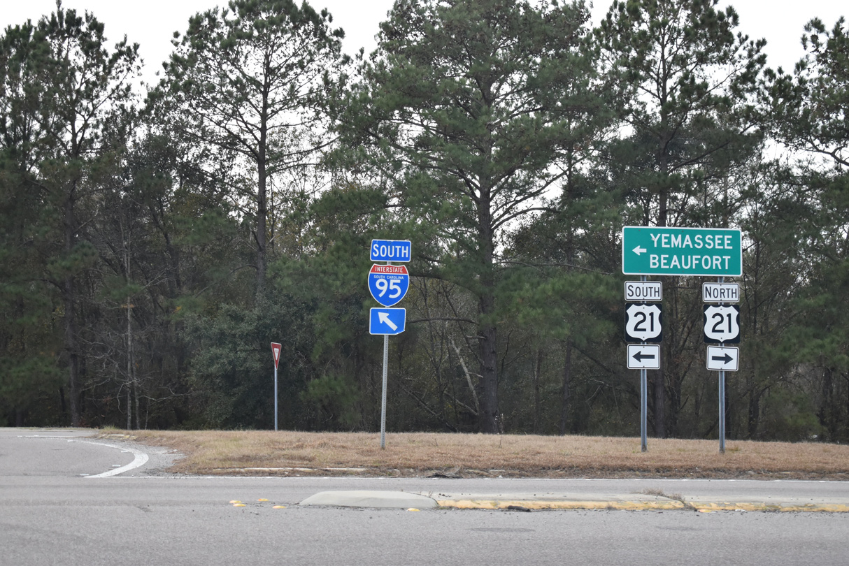
| U.S. 21/17 Alternate south overlap for 7.40 miles through Yemassee to U.S. 17 near Pocotaligo. U.S. 21 turns southeast there for another 18.5 miles to U.S. 21 Business at Beaufort, and 37.41 miles to conclude at Hunting Island. 12/30/20 |
|
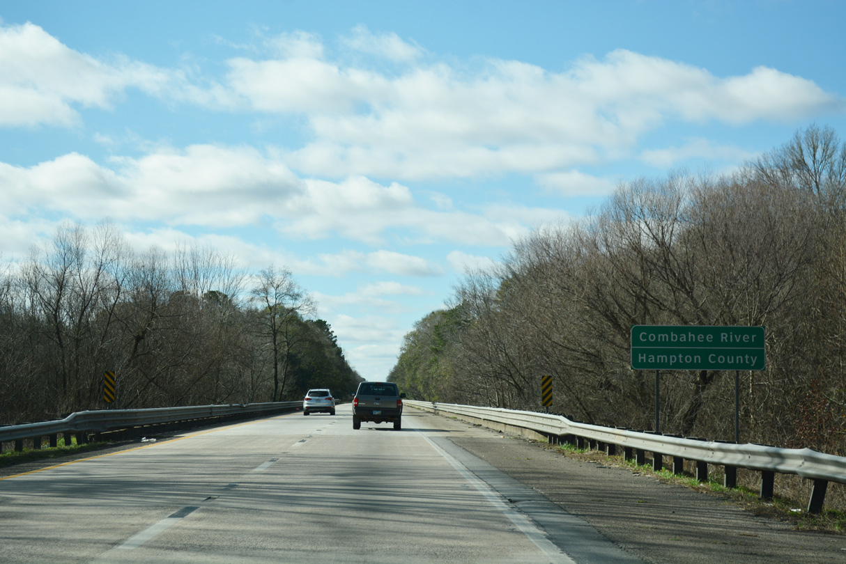
| Interstate 95 lowers toward the Combahee River beyond U.S. 21. 08/28/21 |
|
| I-95 passes through the eastern wedge of Hampton County over the next 6.61 miles. 01/05/19 |
|
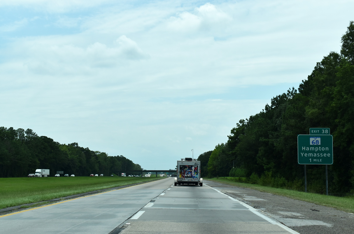
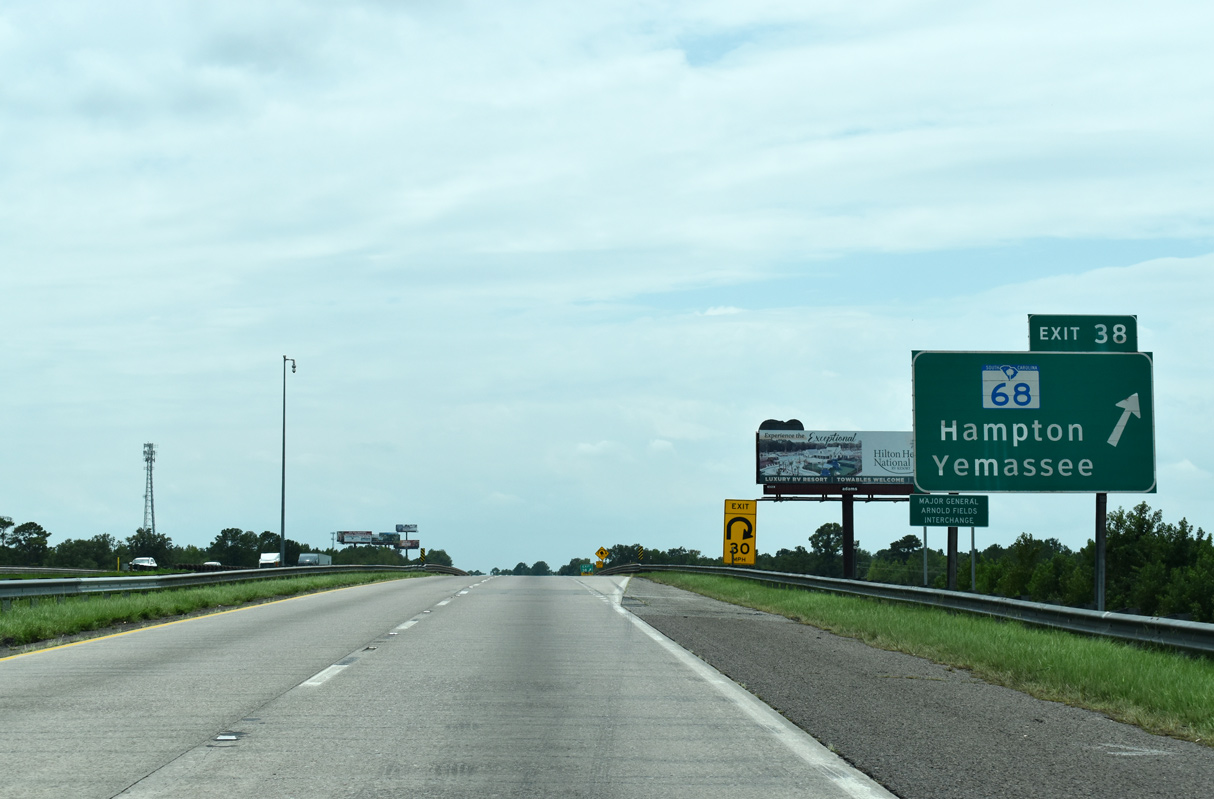
| S.C. 68 stems 1.38 miles northwest from U.S. 21/17 Alternate in Yemassee to a folded diamond interchange (Exit 38) with Interstate 95. 15.33 miles in length, S.C. 68 parallels a CSX Railroad line northwest to U.S. 278 at Almeda. 01/05/19 |
|
| Exit 38 loops away from I-95 to S.C. 68 (Yemassee Highway). S.C. 68, in conjunction with U.S. 278 west, provides a direct route to Hampton. 08/28/21 |
|
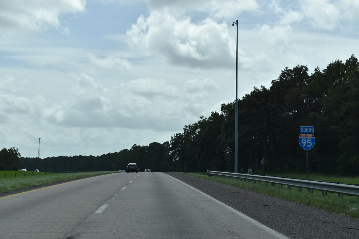
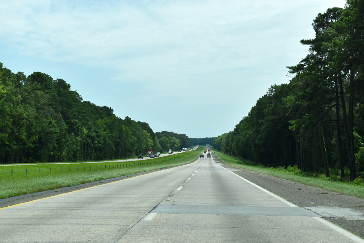
| Interstate 95 turns more southerly from Yemassee to the CSX Railroad siding of Kress. 08/28/21 |
|
| U.S. 17 and Interstate 95 come together for the first time since Fredericksburg, Virginia in five miles. 08/28/21, 10/13/14 |
|
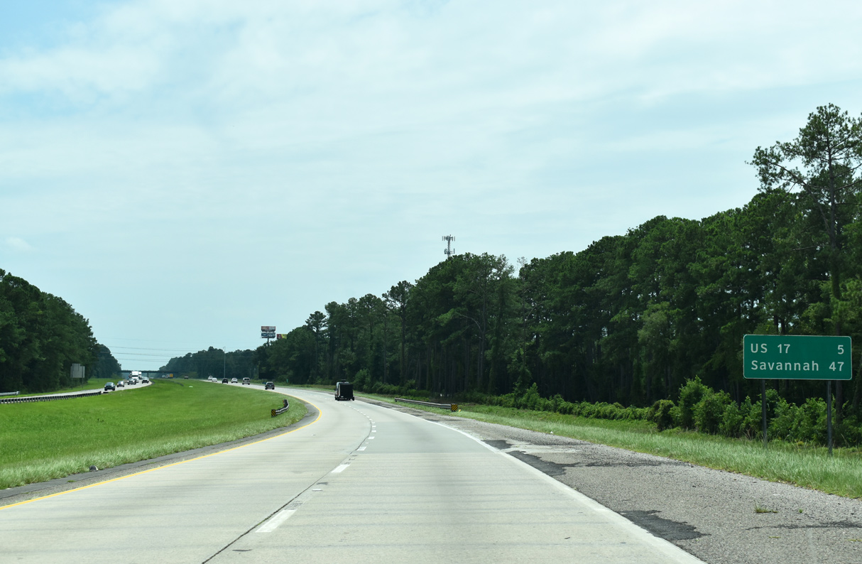
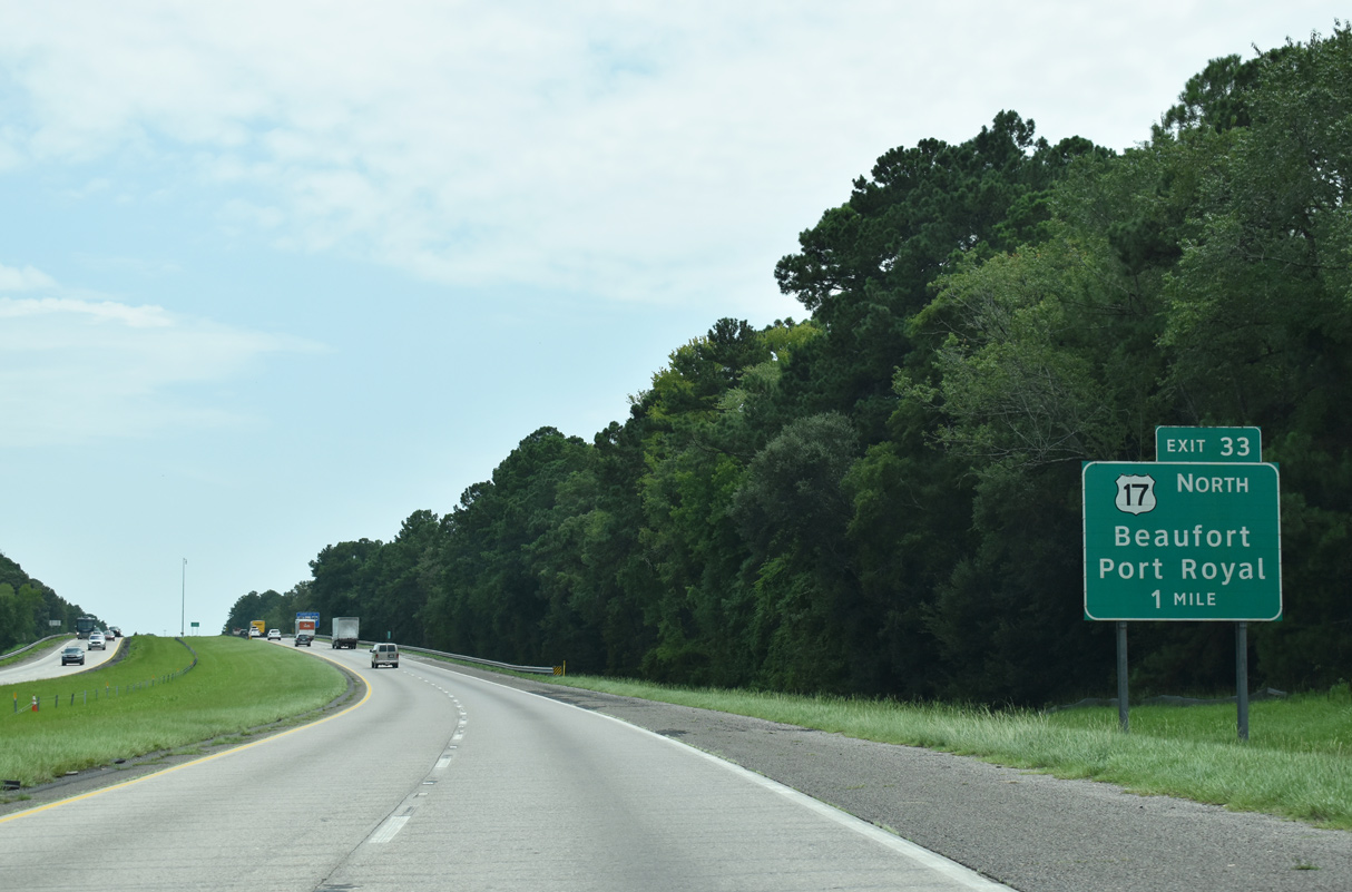
| A trumpet interchange joins I-95 with U.S. 17 in one mile at Grahams Neck. Exit 33 provides access onto U.S. 17 north as it leads east to Point South, Pocotaligo and U.S. 21 to Beaufort. 05/26/19 |
|
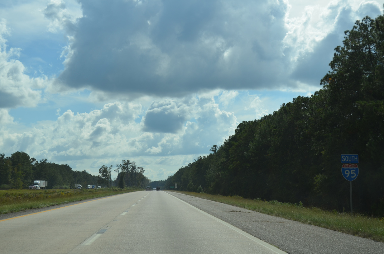
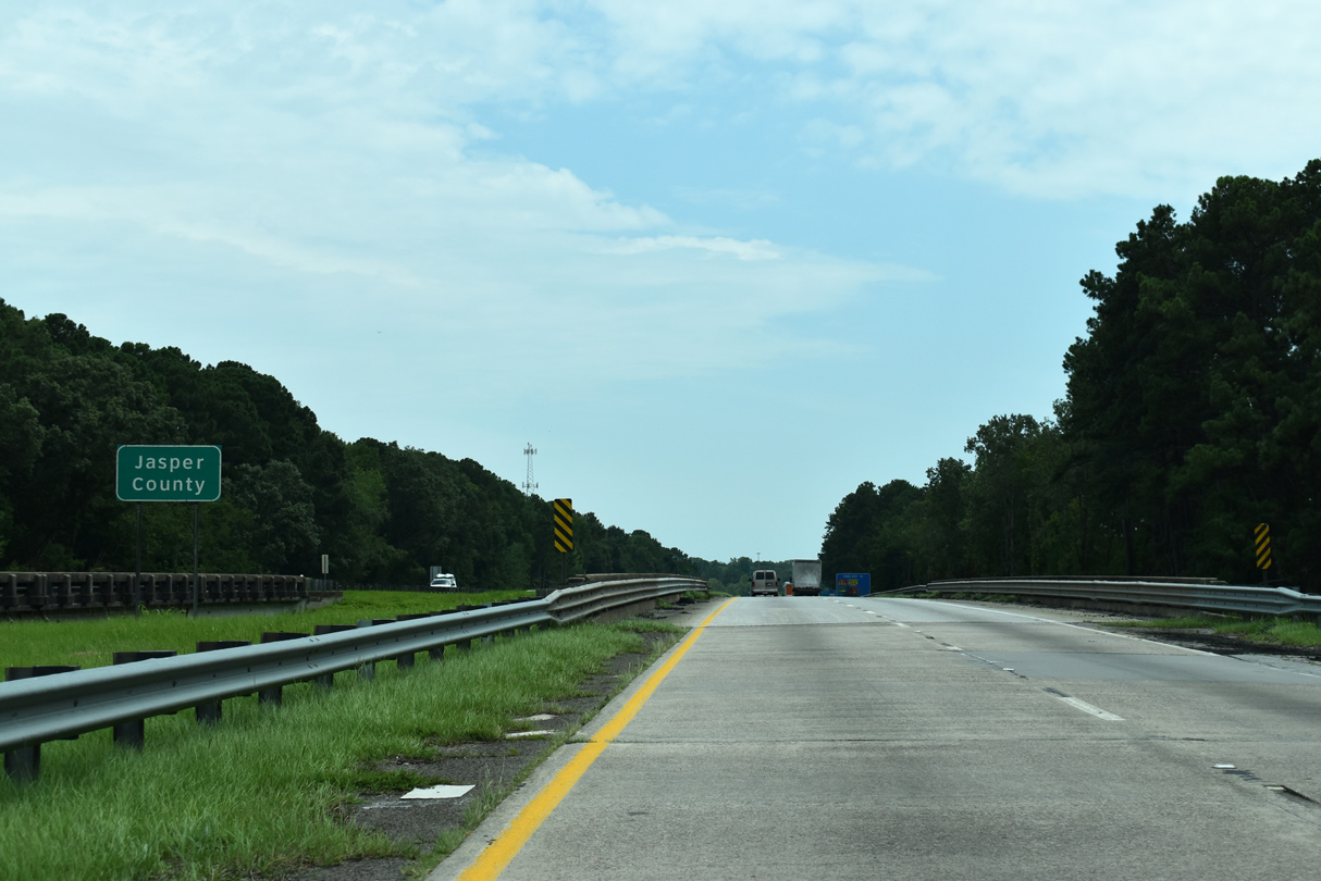
| Spanning the CSX Railroad, I-95 enters Jasper County, the last through South Carolina. 08/28/21 |
Page Updated 11-17-2021.

 South
South