|
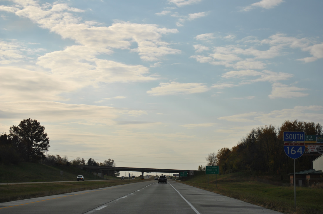
| Exit 21B departed for I-64 west from I-69 south where I-164 begins. Signs were changed here to reflect the extension of I-69 by late 2014. 11/07/11 |
|
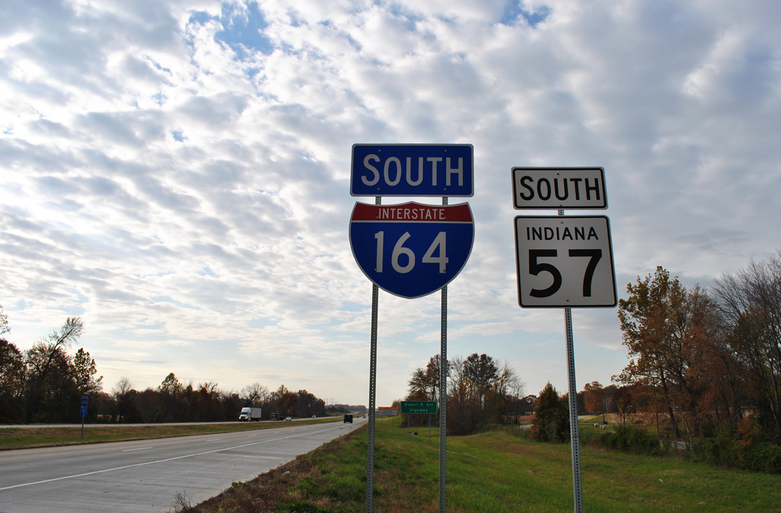
| The first reassurance marker posted for Interstate 164 appeared south of the County Road 1300 S overpass. SR 57 overlapped with the freeway south to Exit 19. 11/07/11 |
|
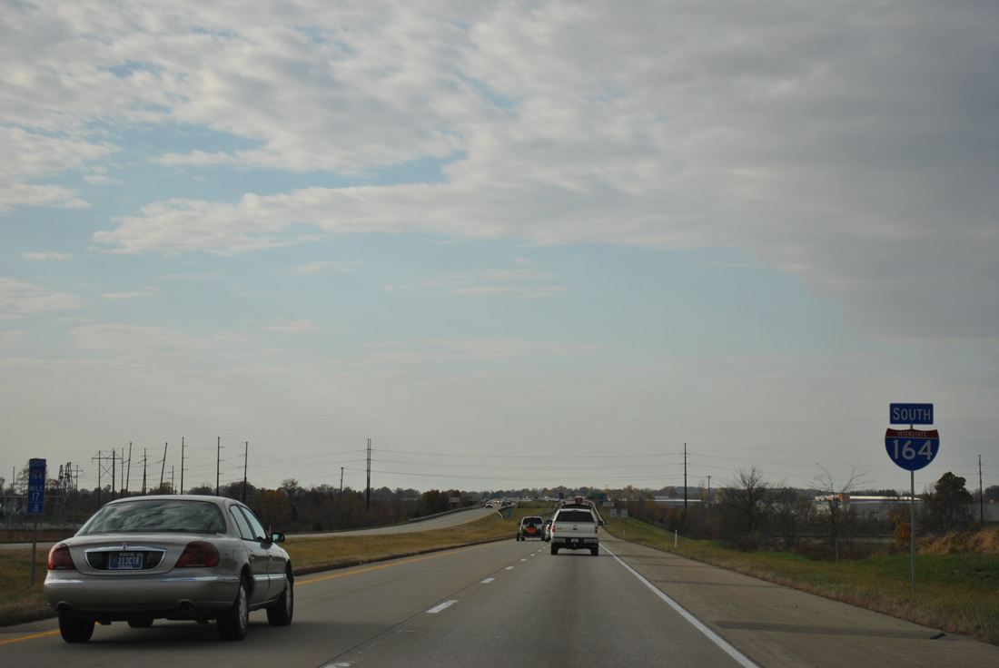
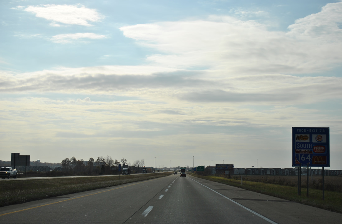
| With SR 57 departed to the west, Interstate 164 continued solo south by an industrial park toward Exit 15 with Boonville New Harmony Road. 11/07/11 |
|
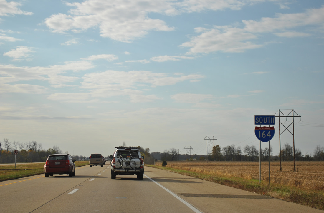
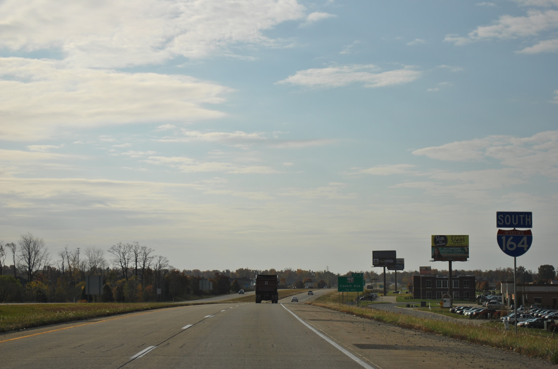
| Interstate 164 shield assembly posted south of Boonville New Harmony Road. The freeway traveled by open farm land to Pigeon Creek. 11/07/11 |
|
| This shield for I-164 stood between back to back folded diamond interchanges with Lynch Road and SR 62 on the east side of Evansville. 11/07/11 |
|
| Interstate 164 south next approached the suburban exchange with SR 66 (Lloyd Expressway). 11/07/11 |
|
| The last shield posted for Interstate 164 south. Subsequent shields used west direction banners. 11/07/11 |
|
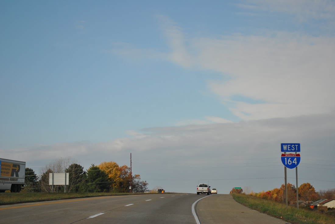
| Heading west, Interstate 164 crosses over Fuquay Road beyond this shield assembly as it paralleled the Ohio River west to U.S. 41. 11/07/11 |
|
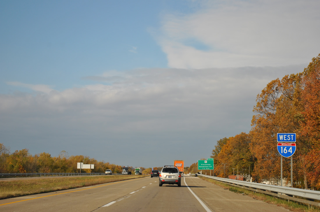
| Passing by the final Interstate 164 shield; the westbound freeway parallels Eagle Creek to U.S. 41. 11/07/11 |
|
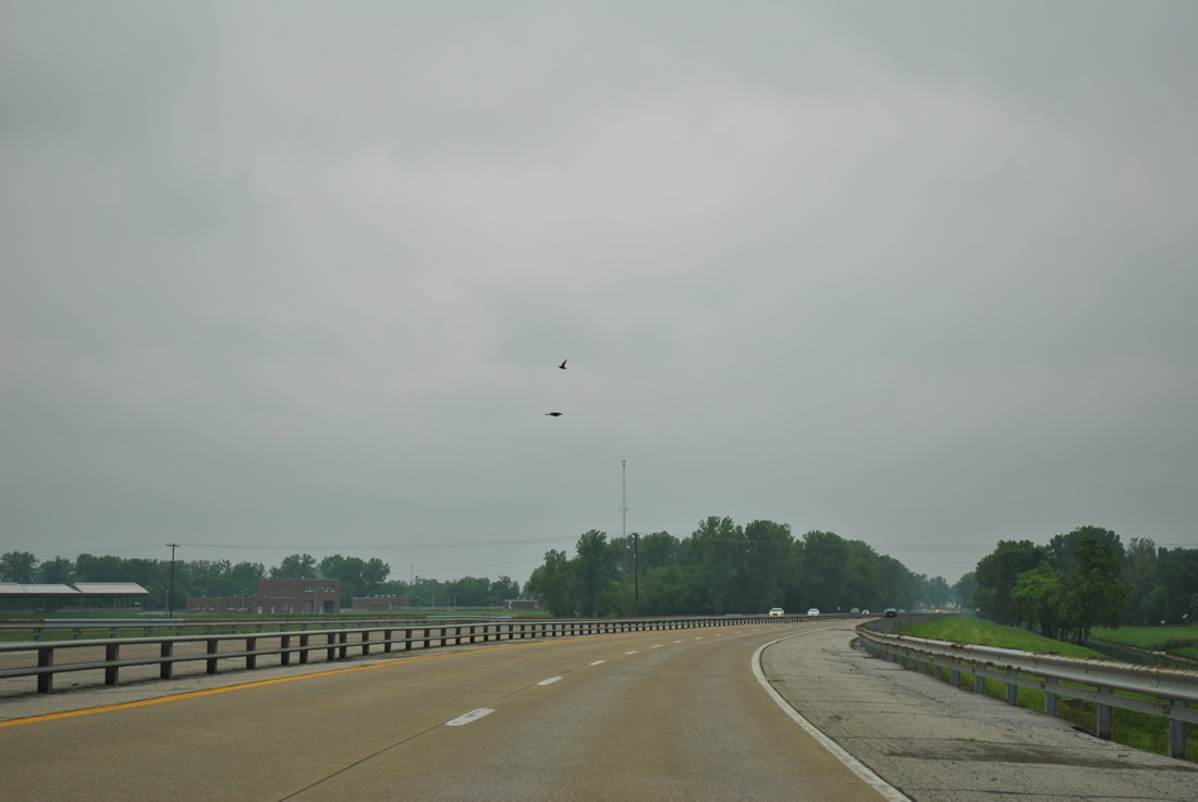
| Heading northwest from Interstate 164 along Veterans Memorial Parkway, there are no exits between U.S. 41 and Shawnee Drive. 05/07/11 |
Page Updated 01-06-2016.