
Opened in 1962, Interstate 189 provides a short freeway connection between U.S. 7 (Shelburne Road) and I-89 in South Burlington. The four lane freeway is posted at 55 miles per hour. Extensions of Interstate 189 west were planned to tie the route into the Burlington Belt Line in 1965 and Downtown Burlington via the Southern Connector in 1979.
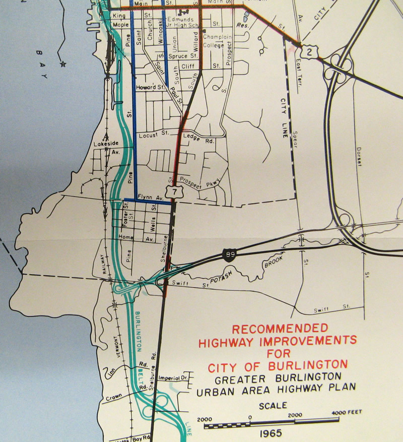
Map from the 1965 Greater Burlington Urban Area Highway Plan showing the Burlington Belt Line and the western extension of Interstate 189.

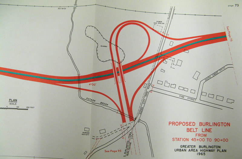
Detail of the trumpet interchange envisioned between the west end of Interstate 189 and the Burlington Belt Line from the 1965 Greater Burlington Urban Area Highway Plan.
The Southern Connector was proposed by the early 1970s to follow Pine Street north from I-189 to a curve linking with the southern end of Battery Street. The discovery of contaminated soil around the Pine Street Barge Canal halted work on the expressway north of Pine Street. Nonetheless, "C-1 Segment" of the Southern Connector was constructed in 1981 to the west of U.S. 7.
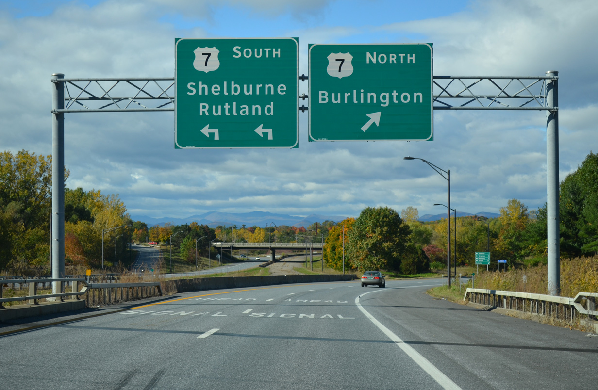
1980s plans focused on an alternate route for the Southern Connector, with Lakeside Avenue and Pine Street considered as corridors extending north to Downtown.1 The interchange between I-189 and U.S. 7 was originally configured as a trumpet, with a direct connection from westbound to southbound. That ramp was later closed and now all westbound traffic ascends to a signalized intersection with U.S. 7.
Plans shifted in the 1990s on the renamed Champlain Parkway to turn through more residential areas. These were scaled back by the early 2000s from a four lane to two lane roadway. Main Street was the designated endpoint. Approval for the project was granted by District 4 Environmental Commission on April 27, 2012. Subsequent legal hurdles arose, halting momentum on the project to the issuing of a land-use permit by the Environmental Commission on August 25, 2014. Plans continue into 2015 with the route intended to connect Pine and Battery Streets through the eastern edge of the Vermont Railway yard.1

 East East |
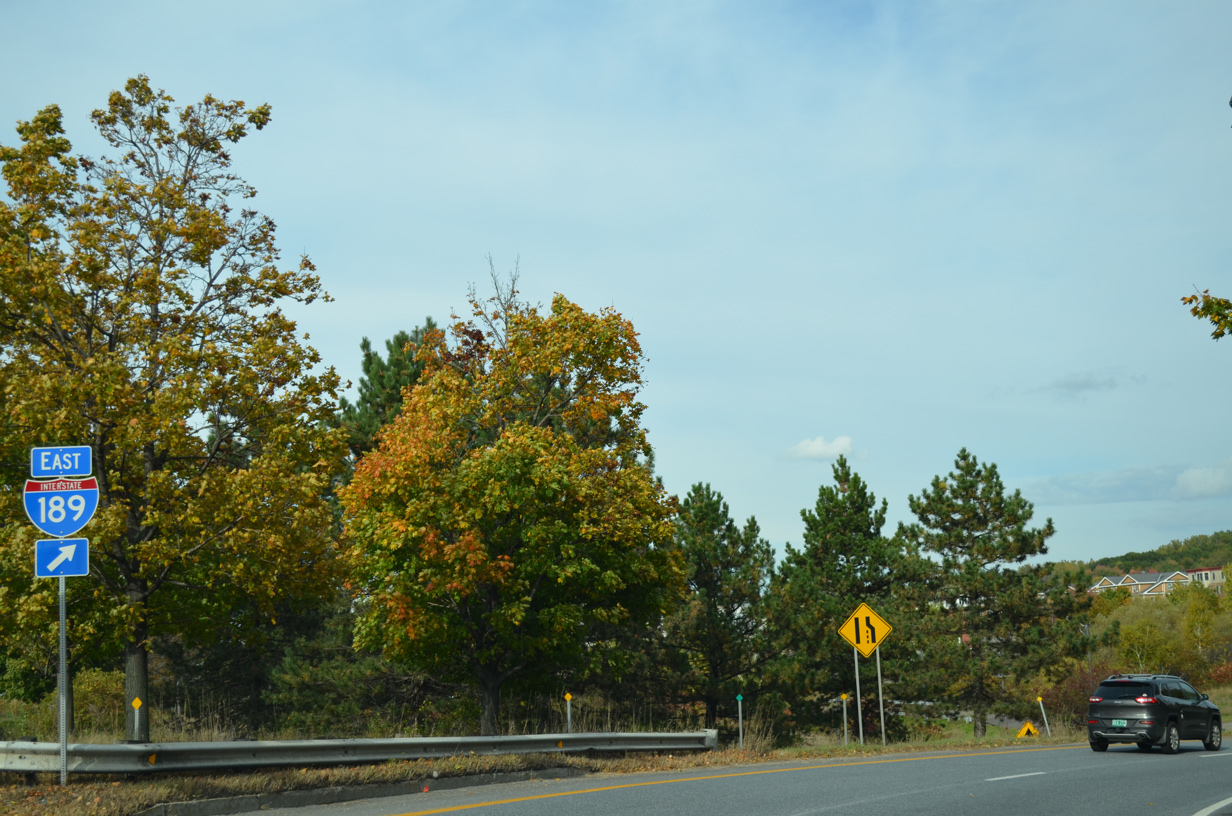 | The eastbound on-ramp to Interstate 189 from U.S. 7 (Shelburne Road) north. 10/07/14 |
 | A loop ramp descends from U.S. 7 (Shelburne Road) south onto the eastbound beginning of Interstate 189. 10/06/14 |
 | Passing under U.S. 7, I-189 expands to two lanes ahead of the on-ramp from U.S. 7 north. The westbound roadway here is unused. 10/06/14 |
 | A concrete barrier shunts traffic onto the U.S. 7 off-ramp from I-189 west. Originally a trumpet ramp provided direct access to Shelburne Road through South Burlington. 10/06/14 |
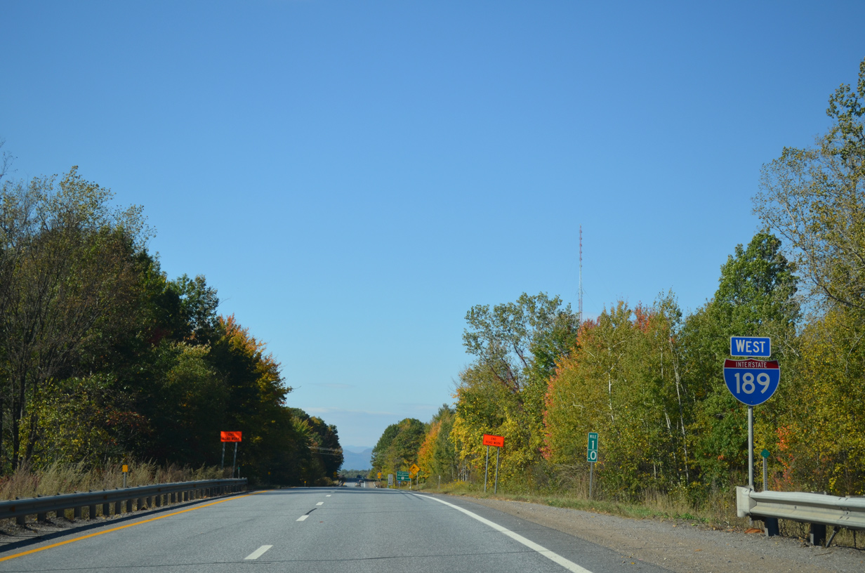
 | The replacement reassurance marker for Interstate 189 was added further east away from U.S. 7. 10/06/14 |
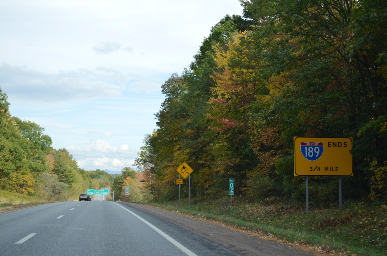 | An end sign for Interstate 189 was also installed by 2011 at milepost 0.6. 10/07/14 |
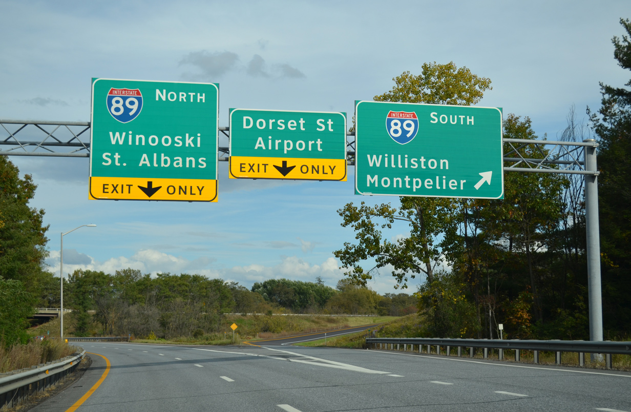
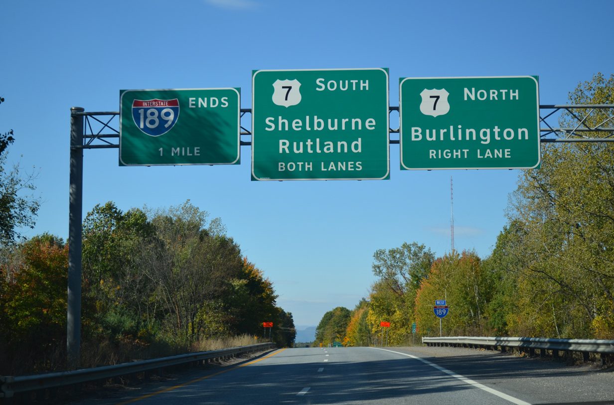
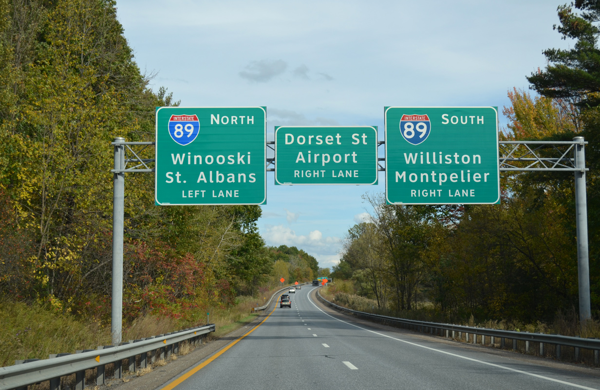 | Interstate 189 splits into three ramps within the next half mile. The first ramp joins Interstate 89 south to Williston, Richmond and Montpelier. 10/07/14 |
 | Heading south from Interstate 189, I-89 travels 34 miles to U.S. 2 at Montpelier, 86.5 miles to I-91 at White River Junction and 148 miles to its southern end at I-93 in Bow, New Hampshire. 10/07/14 |
 | Remaining traffic along Interstate 189 separates into ramps for I-89 north to Milton, St. Albans and Quebec, Canada and Kennedy Drive east to Dorset Street and Burlington International Airport (BTV). 10/07/14 |
 | I-189 east transitions directly into Kennedy Drive at the signalized intersection with Dorset Street. Dorset Street leads south to suburban areas ahead of the Shelburne town line and north to University Mall and U.S. 2 (Williston Street). 08/02/07 |
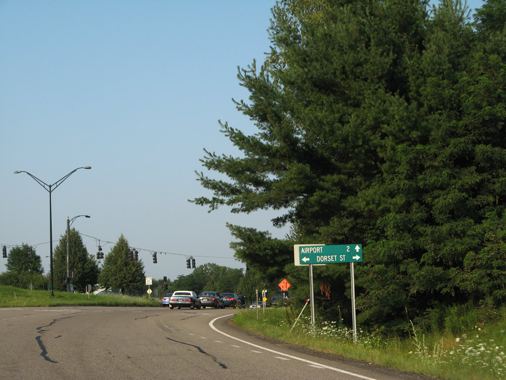
 | Kennedy Drive extends east from I-189 and Dorset Street to U.S. 2 (Williston Road) and Airport Road. 08/02/07 |
| Kennedy Drive - West |
 | Trailblazers for Interstate 189 and U.S. 7 precede the signalized intersection of Kennedy Drive west at Dorset Street. The four lane parkway transitions into the westbound beginning of the freeway ahead. 08/02/07 |
 | Dorset Street heads south to the town of Shelburne and north to University Mall and U.S. 2 (Williston Road) beside the cloverleaf interchange with I-89. 07/24/05 |
| West |
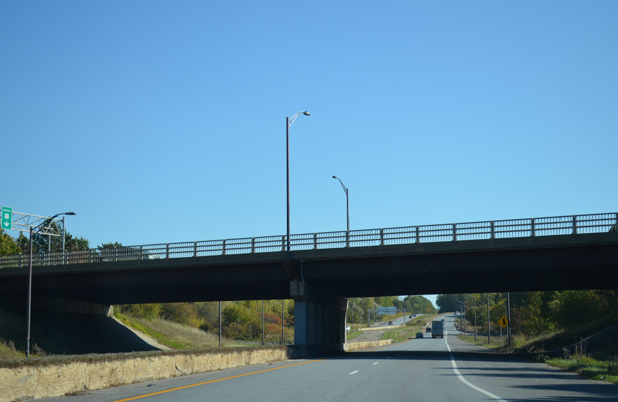
 | Ramps from Kennedy Drive west and Interstate 89 combine ahead of the Spear Street underpass. Interstate 189 continues one mile west to the unnumbered interchange with U.S. 7 (Shelburne Road). 10/06/14 |
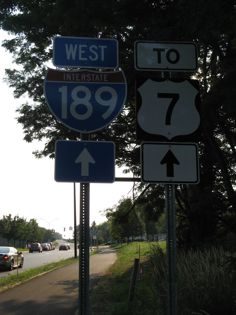
 | The lone westbound reassurance marker was added to I-189 by 2011. 10/06/14 |
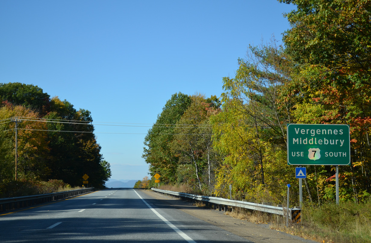 | U.S. 7 leaves Shelburne for Vergennes, where it splits with VT 22A. VT 22A provides part of a route to New York State via the Crown Point Bridge. U.S. 7 otherwise turns eastward to Middlebury and Rutland. 10/06/14 |
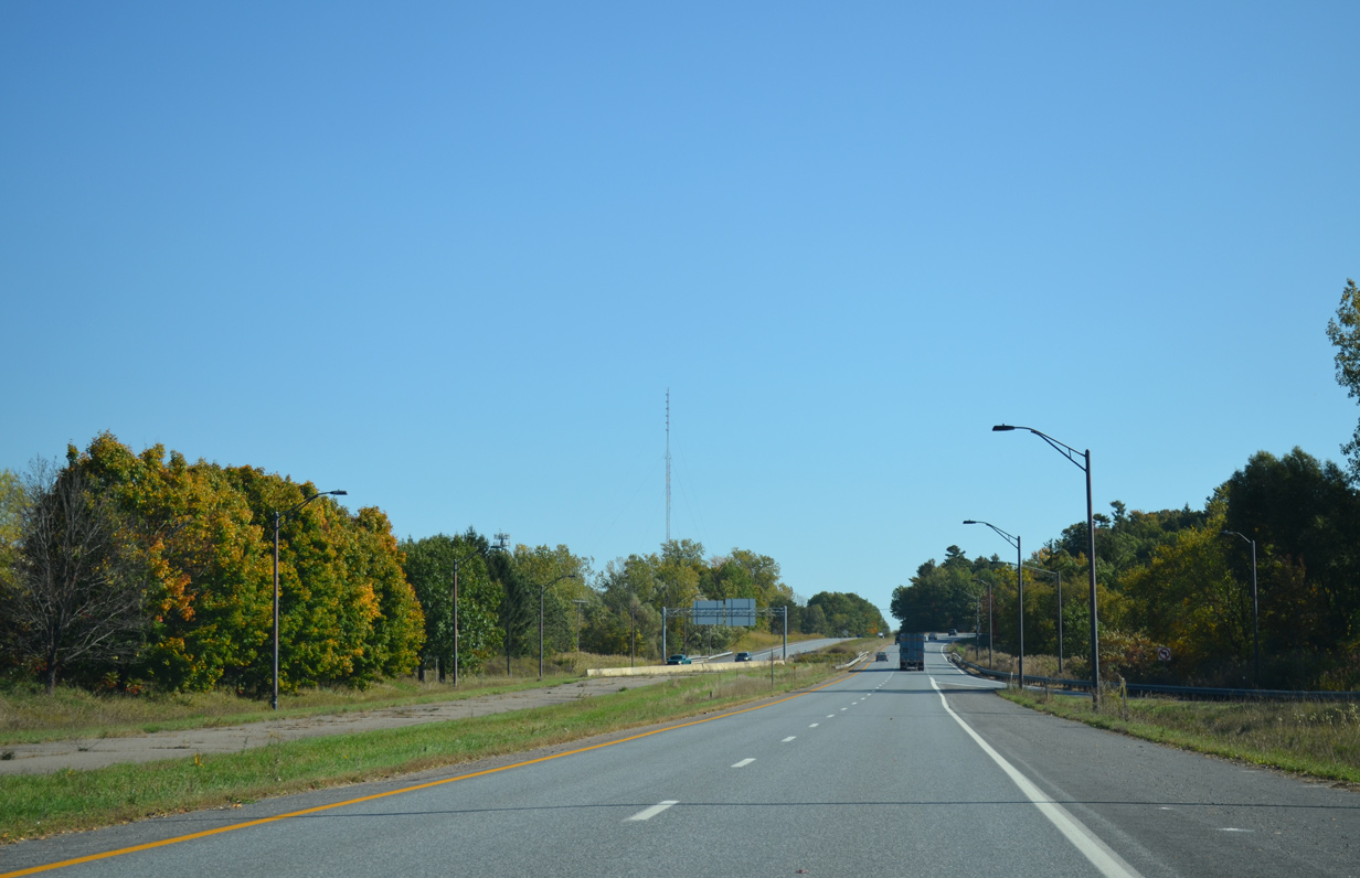
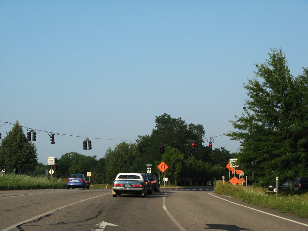
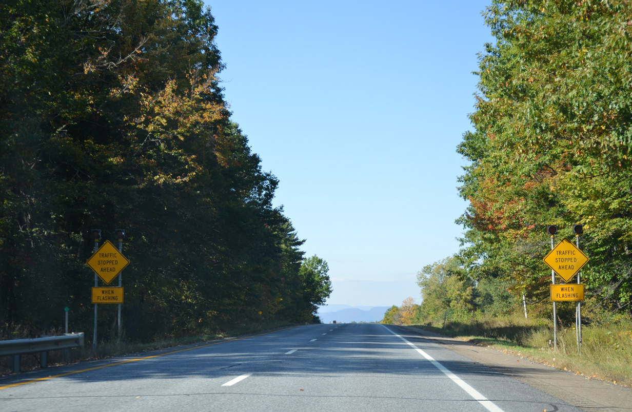 | Peak hour congestion can stack up traffic along I-189 westbound leading toward the signalized ramp end with U.S. 7. 10/06/14 |
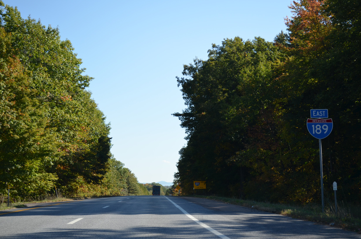
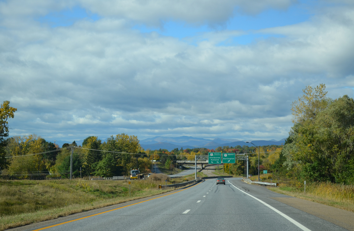
 | The Adirondack Mountains in Upstate New York rise to the west as Interstate 189 approaches the parclo interchange with U.S. 7. 10/06/14 |
 | The unused roadway of I-189 west comes into view beyond the concrete barrier shunting traffic to U.S. 7. 10/10/14 |
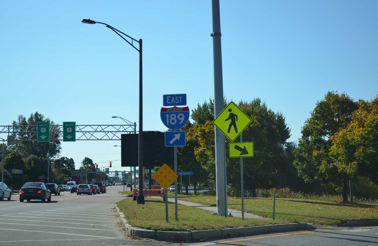
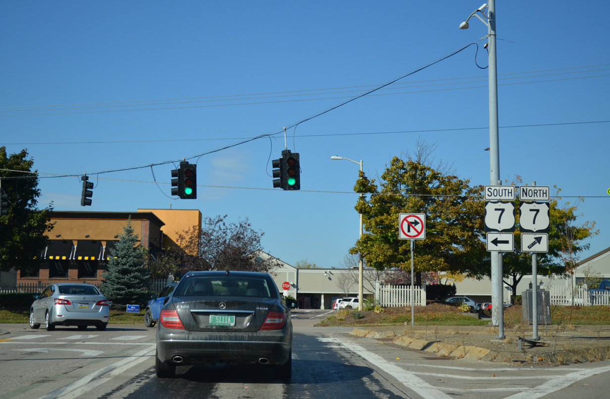
 | Veering away from the freeway mainline, all traffic ascends to intersect U.S. 7 (Shelburne Road). U.S. 7 travels 176 miles in Vermont from the north end of I-89 near Highgate Springs to the Massachusetts state line at Pownal. The route ventures 67 miles south to Rutland. 10/10/14 |
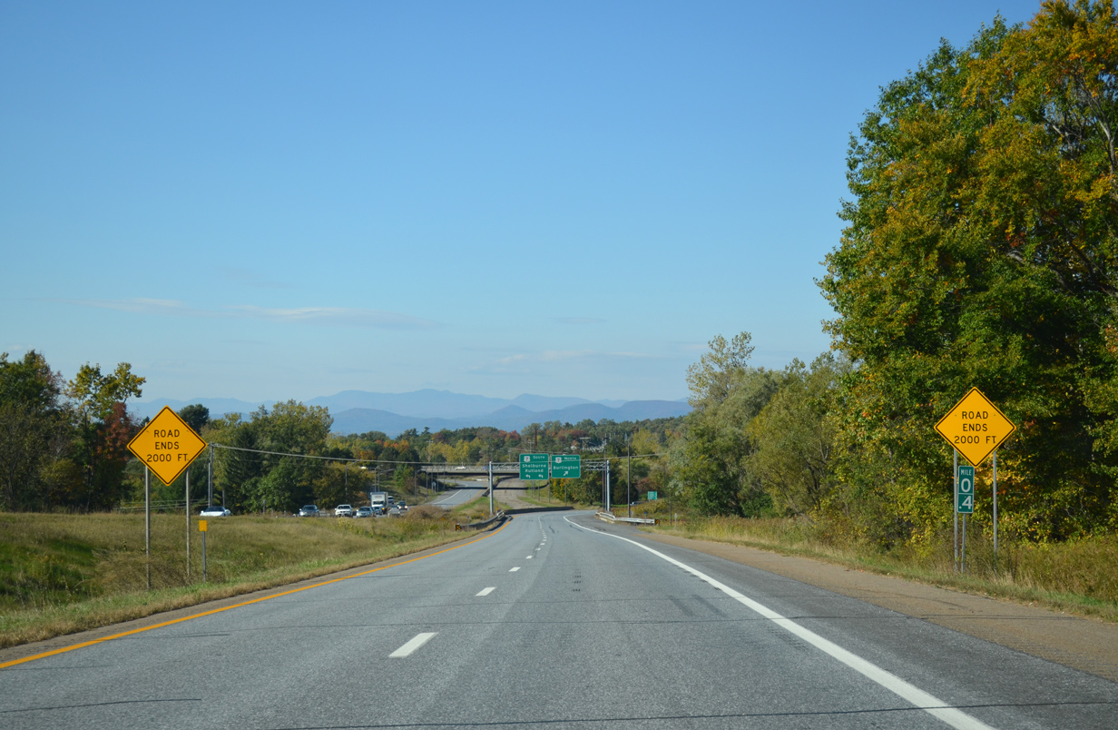
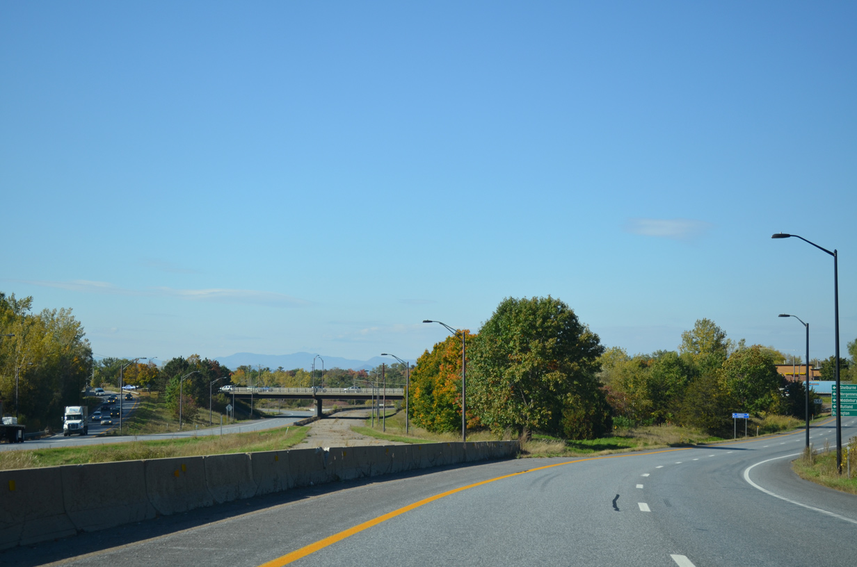 | Traffic originally continued west on I-189 to a directional ramp joining U.S. 7 southbound ahead of Queen City Park Road. Unused roadway built for the Southern Connector arcs northwest to Home Avenue otherwise. 10/06/14 |
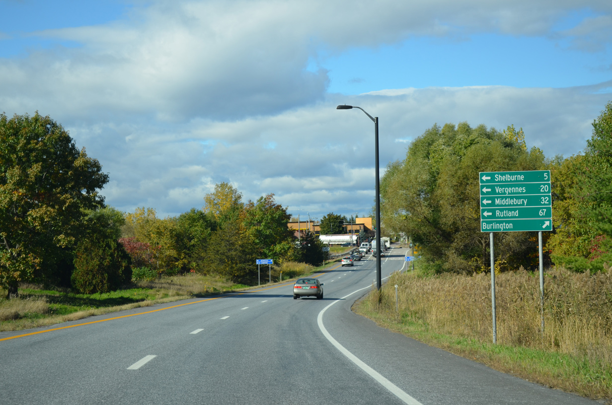 | U.S. 7 runs north-south along a busy commercial route through South Burlington. Heading north, U.S. 7 passes by the South End community en route to Ethan Allen Highway and a bypass of Downtown Burlington. The Shelburne town center lies five miles to the south along the US highway. 10/10/14 |
 | Two lanes turn onto U.S. 7 (Shelburne Road) south across from an entrance to Shelburne Road Plaza shopping center. 10/06/14 |
- "Message in a bottleneck: Champlain Parkway." Burlignton Free Press, February 19, 2015.
Photo Credits:
07/24/05, 08/02/07, 10/06/14, 10/07/14, 10/10/14 by AARoads
Connect with:
Interstate 89
Page Updated 02-28-2015.