
Interstate 275 encircles the Cincinnati and Northern Kentucky metropolitan area on a three state route that travels 83 to 83.3 miles. The total distance bests I-435 around Kansas City by nearly three miles as the longest full beltway in the Interstate system. I-476 and I-495 in Massachusetts are the only 3-digit Interstates that travel farther than Interstate 275. If I-240's extension is approved around Oklahoma City, it will overtake I-275 as the longest beltway in the system.
Named the Donald H. Rolfe Circle Freeway as designated in 1982, the circumferential highway was planned in the late 1950s. The 1960 Rand McNally North American Road Atlas shows I-275 proposed as just a northern arc between I-74 near Dent and I-71 at Montgomery. Construction started in 1958 on the stretch between Ohio State Route 4 (Exit 41) and U.S. 42 (Exit 46).1
The beltway acted as a conduit for development, and its orientation with I-75 results in the freeway acting primarily as a commuter route versus a through route bypass.1 The last section of I-275 built was the Combls-Hehl Bridge between Brent, Kentucky and California in Cincinnati. It opened to traffic on December 19, 1979.
Interstate 275 Ohio Guides
- East - Indiana to Springdale
- South - Sharonville to Kentucky
- North - Kentucky to Sharonville
- West - Springdale to Indiana
- Archive
 scenes scenes |
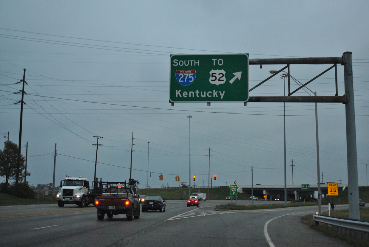 | SR 125 (Beechmont Avenue) meets Interstate 275 at a commercialized parclo interchange at Tobasco in Union Township. Separate ramps join the beltway west toward U.S. 52 and Kentucky and north to Milford and Montgomery. 11/04/11 |
- Interstate 275. Cincinnati-Transit.net.
Photo Credits:
11/04/11 by AARoads
Connect with:
Interstate 71
Interstate 74
Interstate 75
Page Updated 09-07-2021.