|
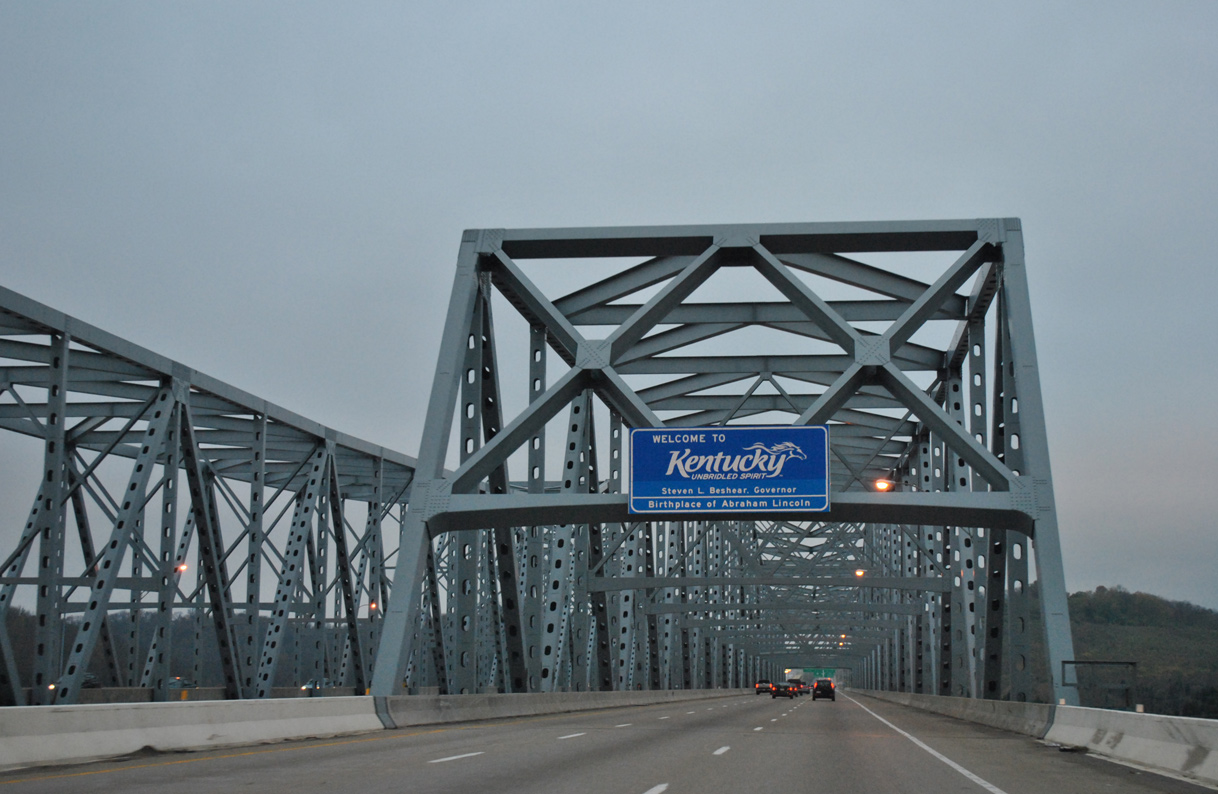
| Welcome to Kentucky sign posted on the Combs-Hehl Bridge superstructure. The state line lies a quarter way across the Ohio River. 11/04/11 |
|
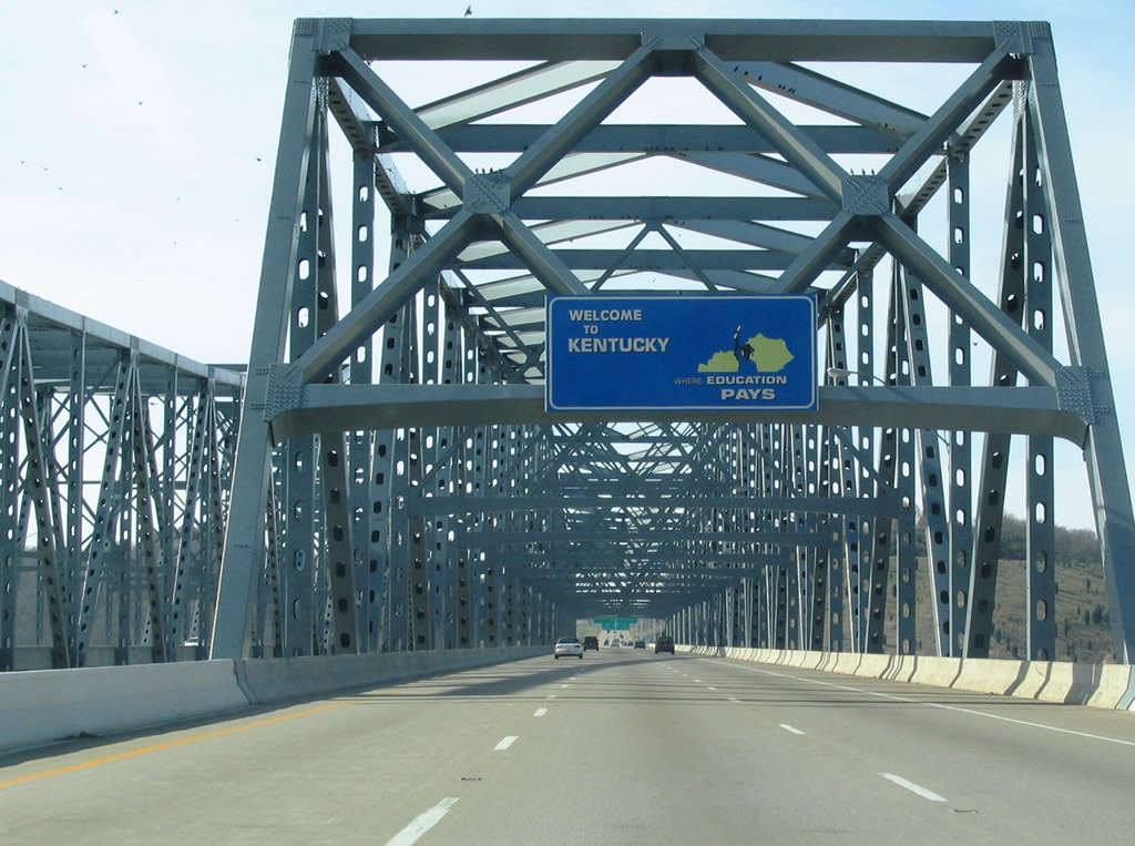
| Older welcome signs for Kentucky featured the theme of "Where Education Pays." 11/14/04 |
|
| The Combs-Hehl Bridge is a cantilever span opened to traffic on December 19, 1979. It was the last section of I-275 to be completed in the Bluegrass State. 11/14/04 |
|
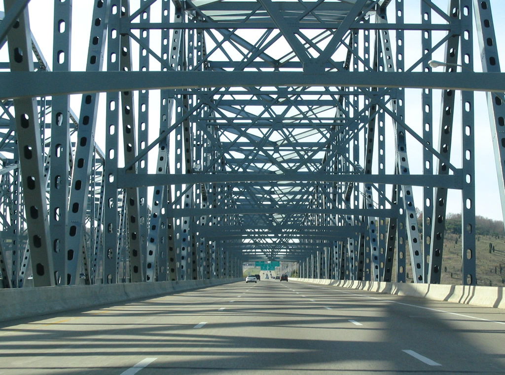
| Interstate 275 enters Campbell County, Kentucky at Brent. 11/14/04 |
|
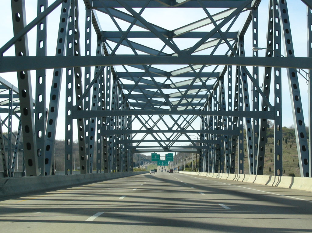
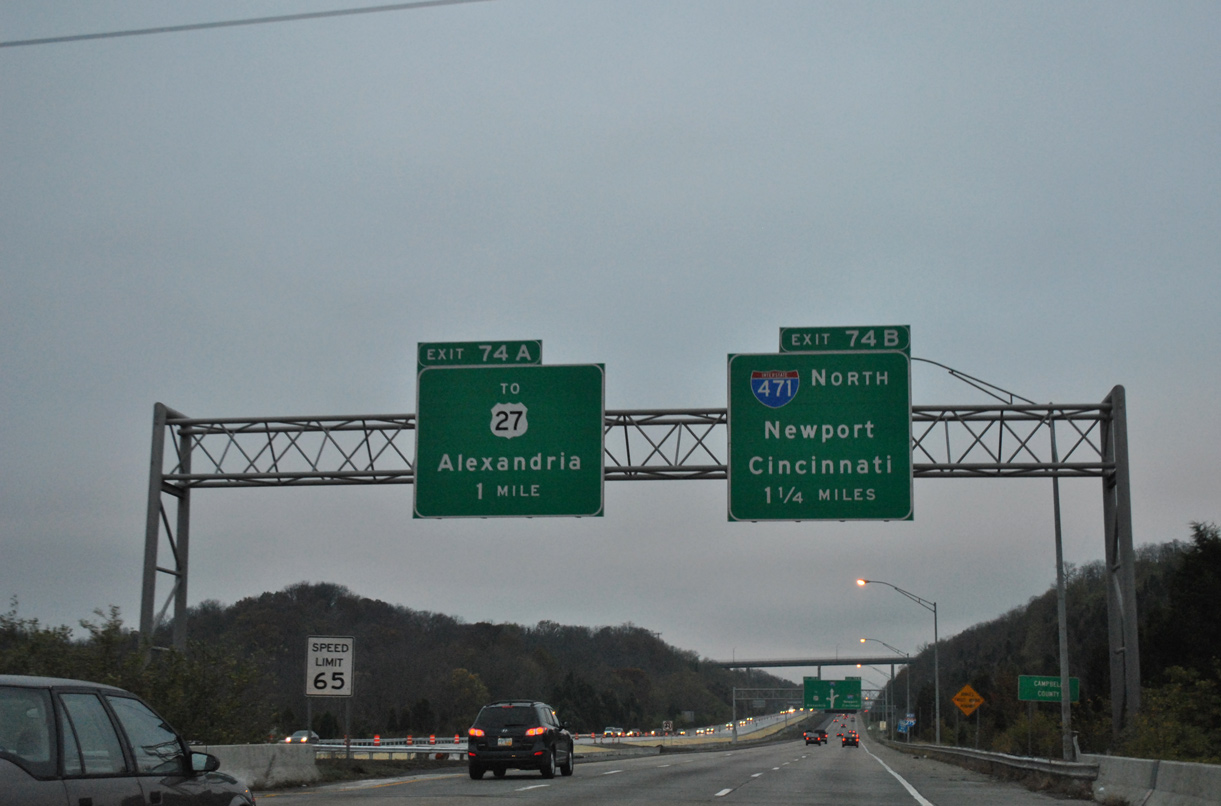
| I-275 advances from the Combs-Hehl Bridge to Exit 74 with Interstate 471 north and unsigned KY 471 south. I-471 comprises a commuter route between Highland Heights and Downtown Cincinnati. 11/04/11 |
|
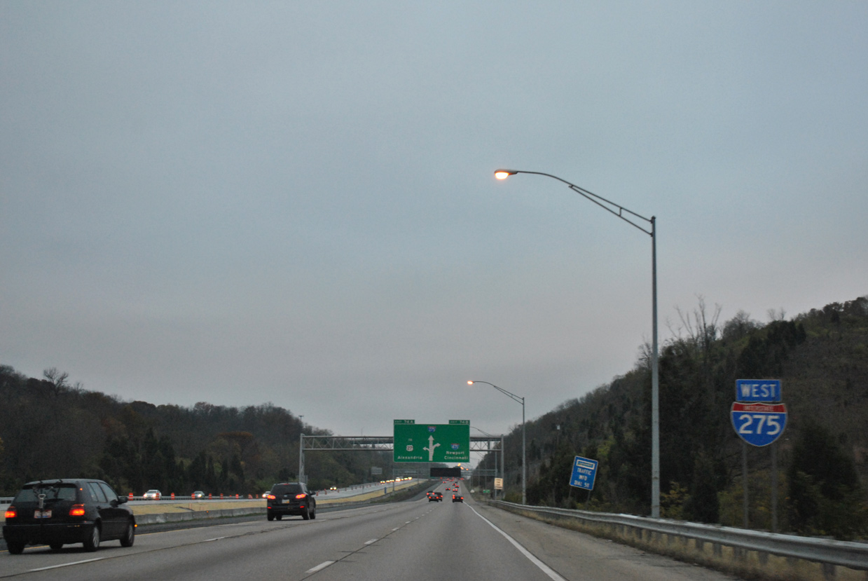
| Reassurance marker posted as I-275 straddles the Fort Thomas and Highland Heights city line. 11/04/11 |
|
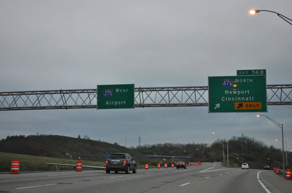
| A directional interchange with left side ramps joins I-275/471. I-471 leads north to Southgate, Fort Thomas, Newport and Bellevue before crossing into Ohio. 11/04/11 |
|
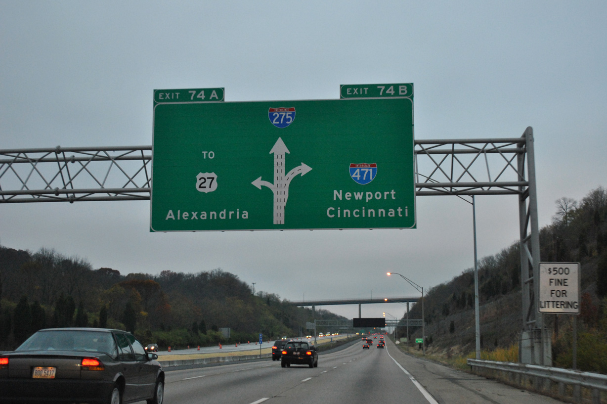
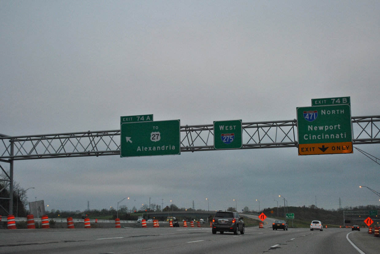
| U.S. 27 (Alexandria Pike) travels high above I-275 from Fort Thomas to Highland Heights. U.S. 27 meanders southwest from the overpass to KY 471. Unsigned KY 471 is a 0.7 mile long freeway spur southward from Exit 74A to U.S. 27 near Northern Kentucky University. 11/04/11 |
|
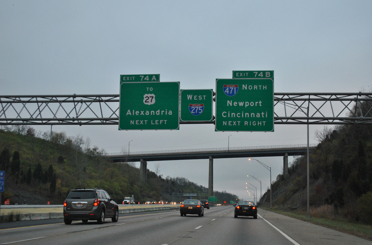
| Left Exit 74A departs Interstate 275 west onto KY 471 south. U.S. 27 (Alexandria Pike) continues south from the freeway end to Cold Spring and Alexandria. 11/04/11 |
|
| I-471 winds northward from Exit 74B through the suburban areas to Downtown Newport before spanning the Ohio River along the Dan Beard Bridge. The freeway provides a direct connection to Interstate 71 and U.S. 50 in Cincinnati. 11/04/11 |
|
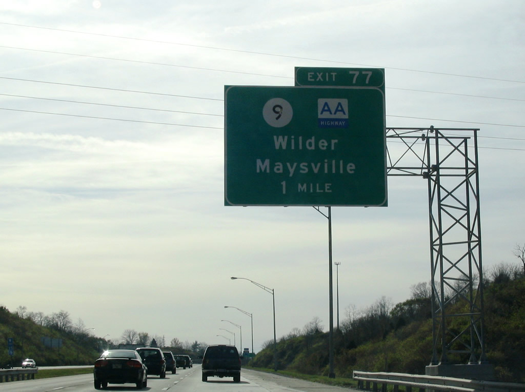
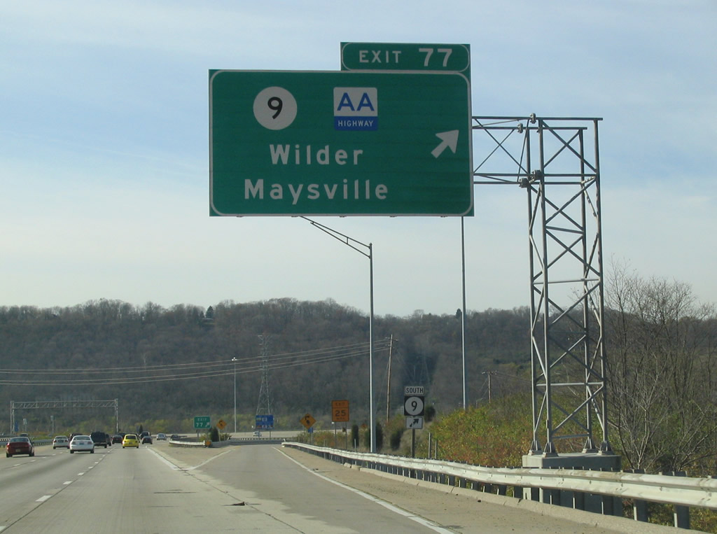
| KY 9 (AA Highway) travels west from Cold Spring to meet Interstate 275 at a folded diamond interchange (Exit 77) opposite the Licking River. The AA highway is the John Y. Brown Jr. Alexandria-Ashland Highway, running from Wilder eastward to Grayson (Interstate 64). 11/14/04 |
|
| Sinking toward the Licking River, Interstate 275 nears the off-ramp (Exit 77) to KY 9 (AA Highway). KY 9 parallels the river northward through Wilder, ending in Newport at KY 8. 11/14/04 |
|
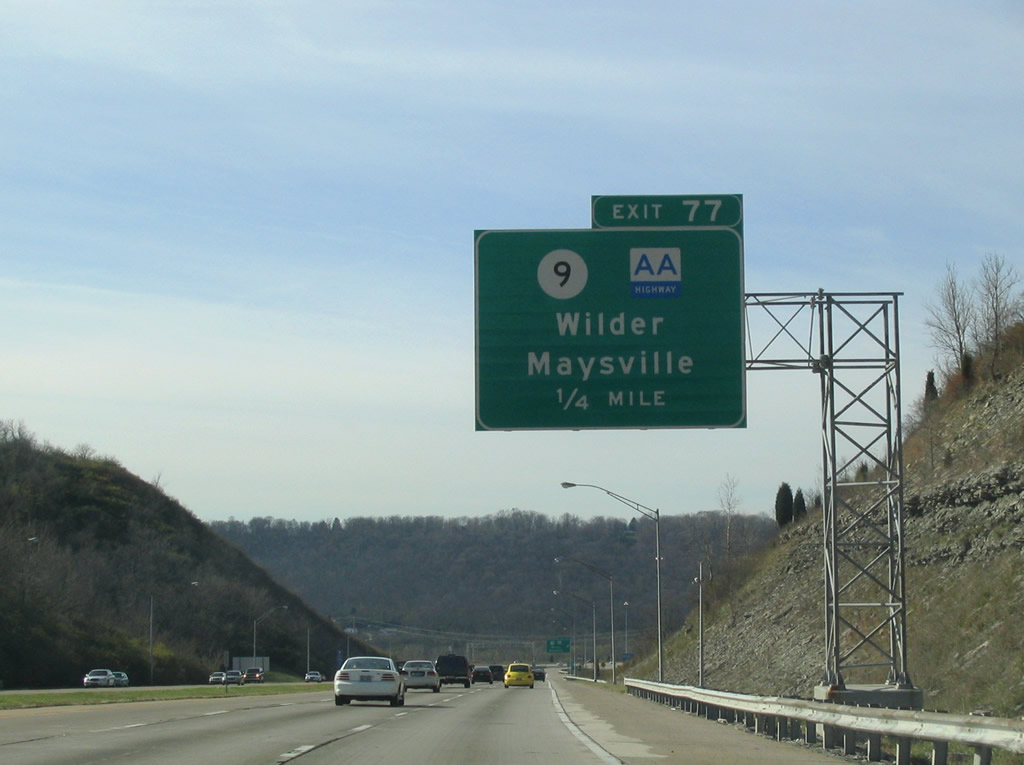
| Westbound at the ramp departure (Exit 77) to KY 9 (AA Highway). The AA Highway travels southeast as a four lane facility with some expressway like qualities from Interstate 275 through Cold Spring, Alexandria and the Mentor area. The remainder of the route consists of a two lane rural highway eastward to Maysville and Vanceburg. 11/14/04 |
|
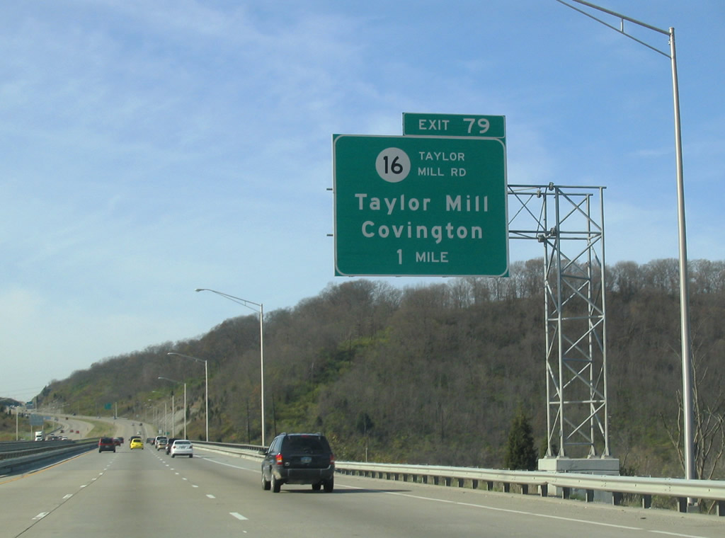
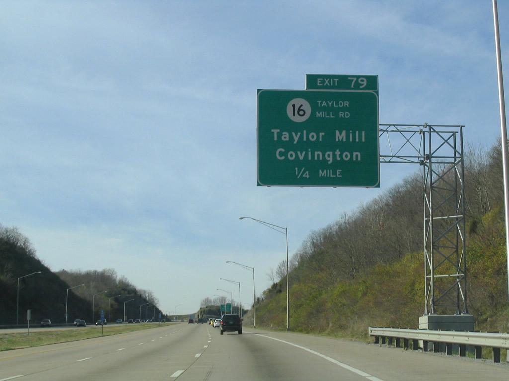
| Now crossing the Licking River, Interstate 275 next meets KY 16 (Exit 79). 11/14/04 |
|
| KY 16 (Taylor Mill Road) flows southward through Taylor Mill to Nicholson. 11/14/04 |
|
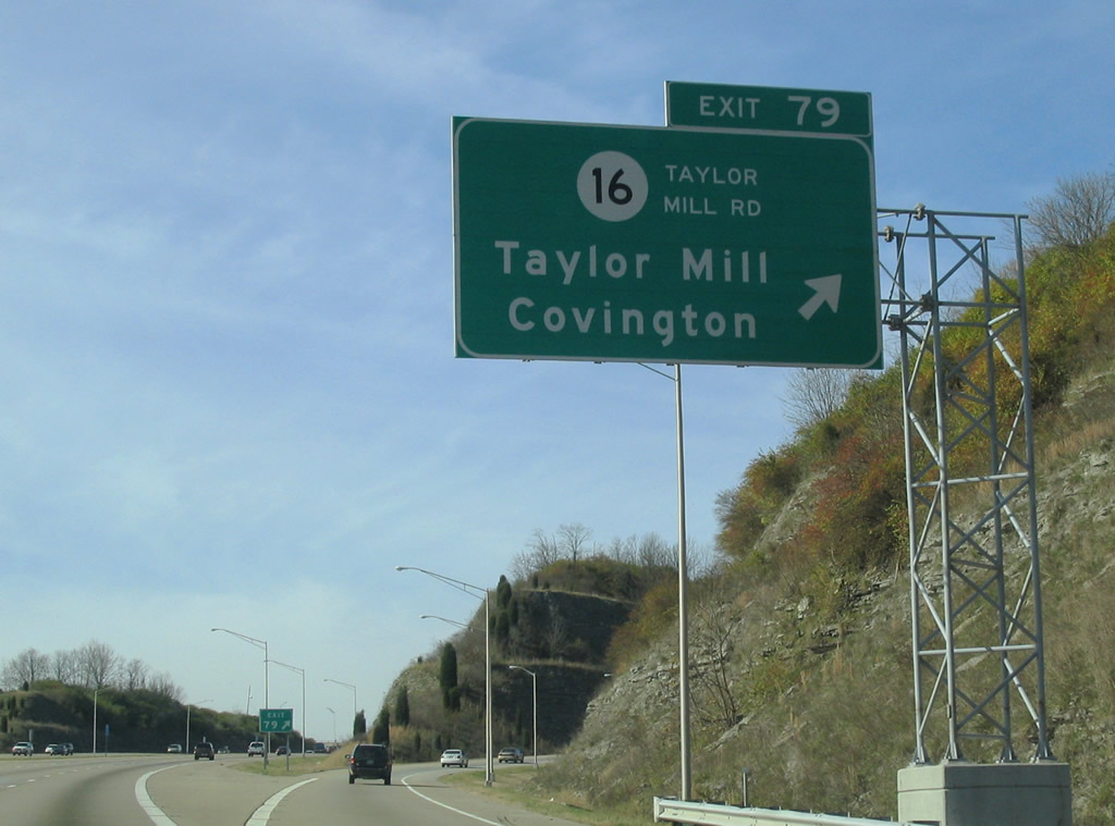
| Interstate 275 west reaches the six-ramp parclo interchange (Exit 79) with KY 16 (Taylor Mill Road). Northward the state route enters Covington via Winston Avenue and ends at KY 17 (Madison Avenue). 11/14/04 |
|
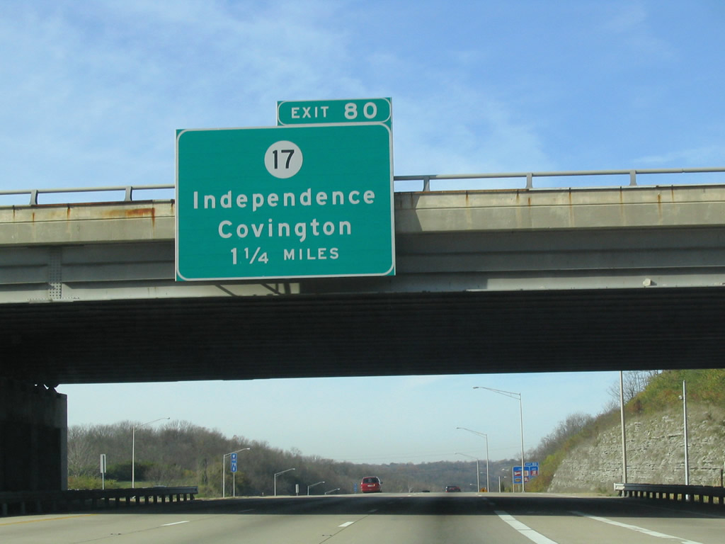
| KY 17 (Madison Pike) travels south from Covington and Kenton Vale to cross paths with Interstate 275 at Exit 80. 11/14/04 |
|
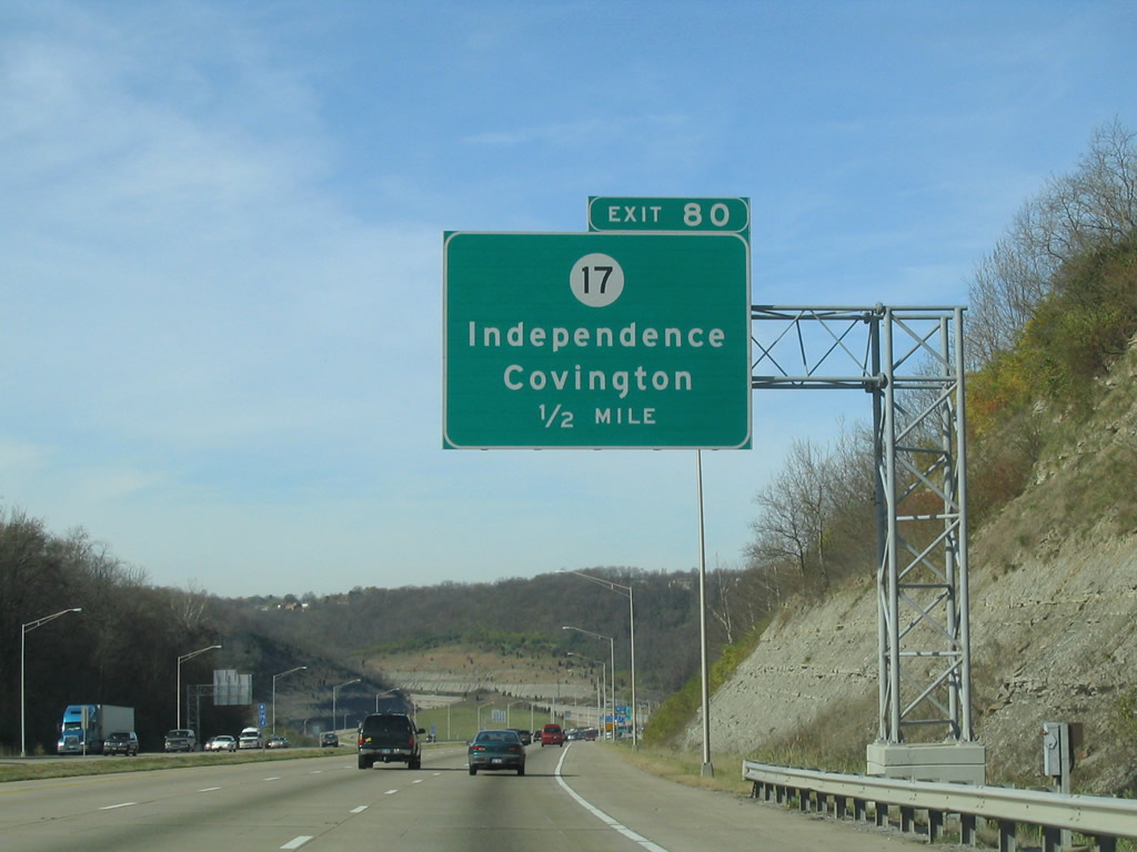
| One half mile east of the folded diamond interchange (Exit 80) with KY 17 (Madison Pike). KY 17 widens to a divided highway from KY 371 (Orphanage Road) nearby to the Kenton County seat of Independence. 11/14/04 |
|
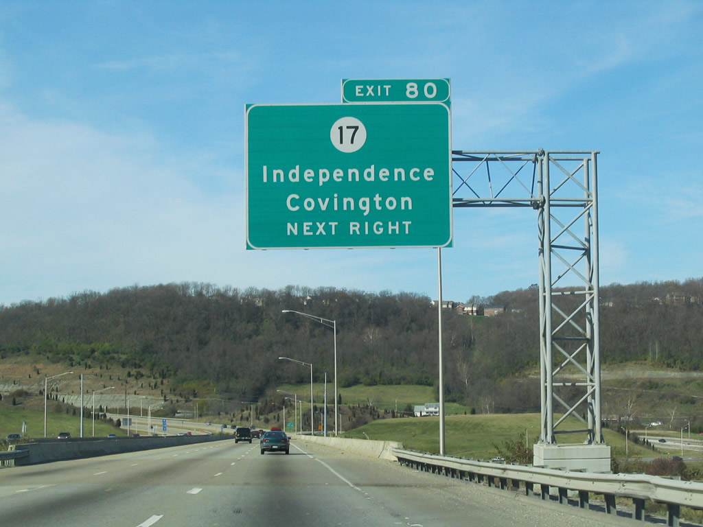
| A viaduct takes I-275 across a RJC Railroad line, Banklick Creek and KY 17 (Madison Pike). KY 17 totals 34.7 miles overall between U.S. 27 north of Falmouth and the John A. Roebling Suspension Bridge over the Ohio River. 11/14/04 |
|
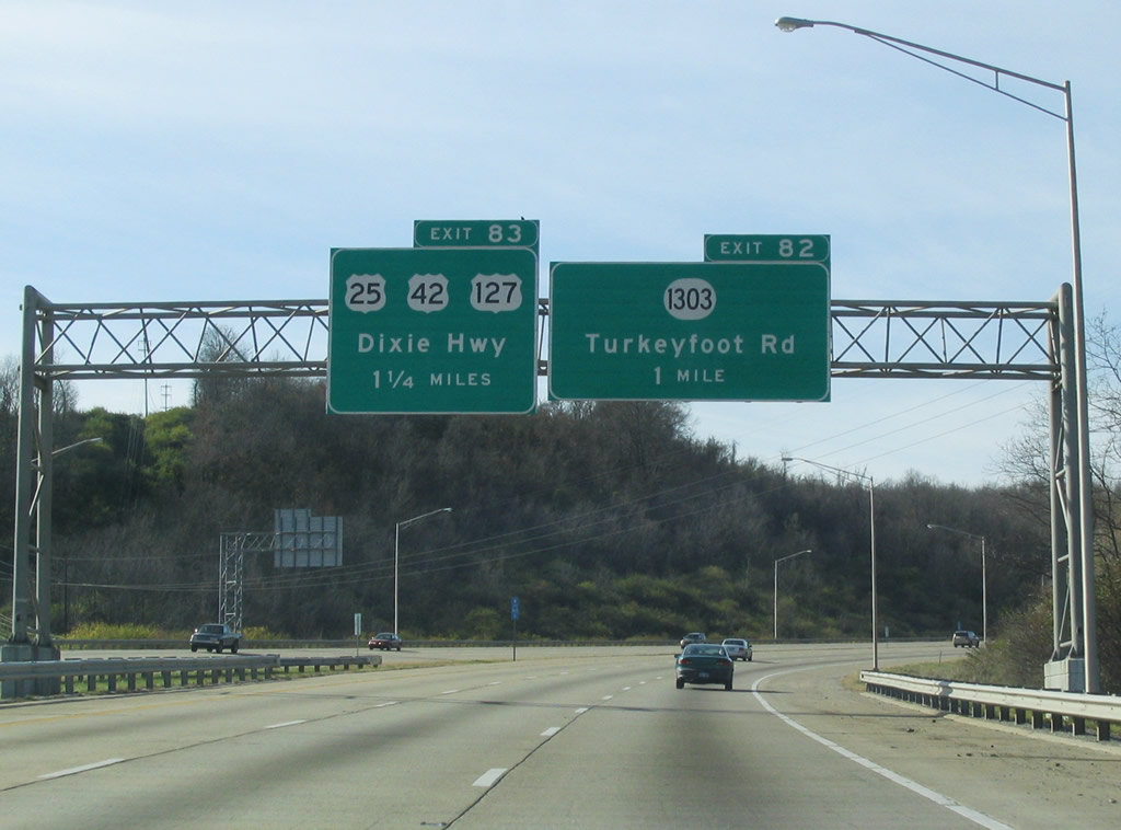
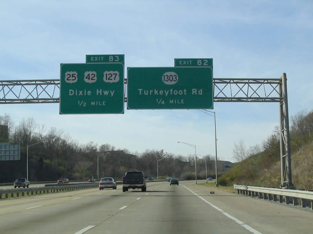
| KY 1303 (Turkeyfoot Road) crosses paths with Interstate 275 at a diamond interchange (Exit 82) in one mile. 11/14/04 |
|
| KY 1303 travels just 6.2 miles from KY 536 in Independence to U.S. 25-42-127 (Dixie Highway) at Lakeside Park. 11/14/04 |
|
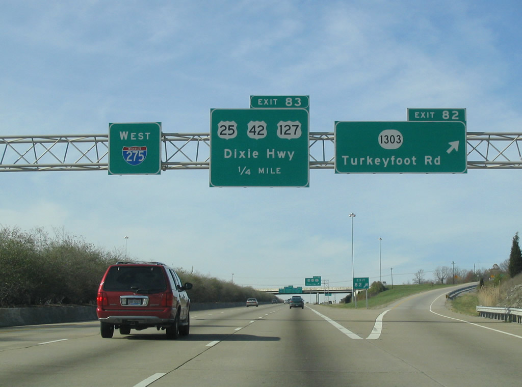
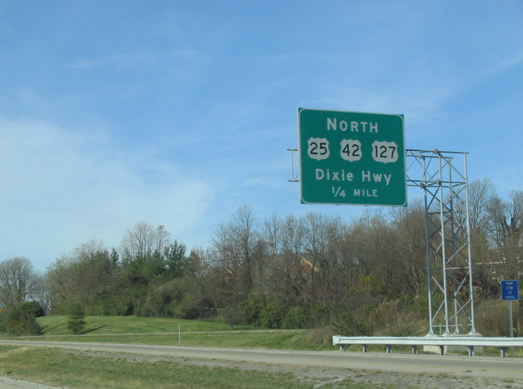
| Exit 82 leaves Interstate 275 a quarter mile ahead of the collector distributor roadway (Exit 83) for the Dixie Highway parclo interchange. KY 1303 (Turkeyfoot Road) connects the beltway with a large business park and Thomas More College to the south and Fort Mitchell to the north. 11/14/04 |
|
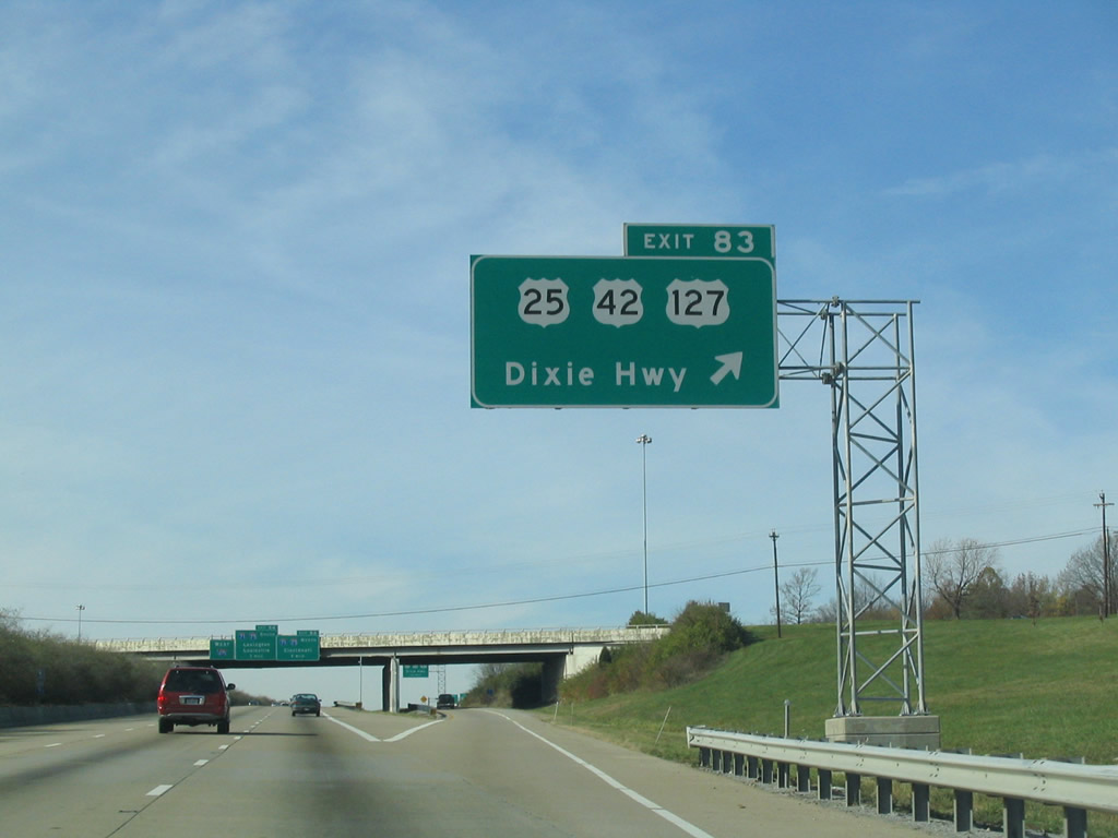
| Exit 83 follows at the Turkeyfoot Road overpass. U.S. 25-42-127 (Dixie Highway) travel northeast from Erlanger and Crestview Hills to meet KY 1303 at Lakeside Park. 11/14/04 |
|
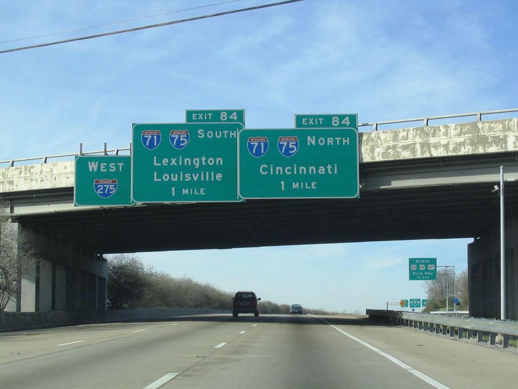
| Interstate 275 motorists next meet the symmetrical stack interchange with I-71/75. (Exit 84). 11/14/04 |
|
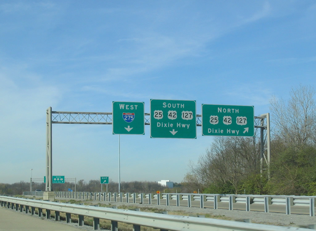
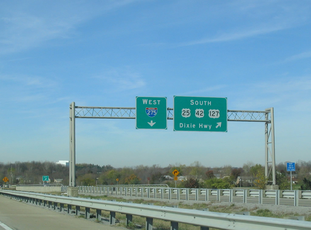
| Departing the c/d roadway (Exit 83) first is the northbound ramp to U.S. 25-42-127 (Dixie Highway). The trio continue through Lakeside Park to Fort Mitchell and ultimately Covington. U.S. 25 ends at the state line while U.S. 42 and 127 enter Cincinnati and part ways in Downtown. 11/14/04 |
|
| Westbound at the c/d roadway ramp partition for Dixie Highway north. U.S. 25-42-127 parallel Interstate 75 through Fort Wright and Park Hills, meeting the freeway twice before it crosses into Ohio. 11/14/04 |
|
| A loop ramp carries drivers onto U.S. 25-42-127 (Dixie Highway) south to Crestview Hills, Elsmere, and their split at Florence. U.S. 42 & 127 continue together along the Interstate 71 corridor to Sugar Creek while U.S. 25 shadows Interstate 75 southward to Richwood and Lexington. 11/14/04 |
|
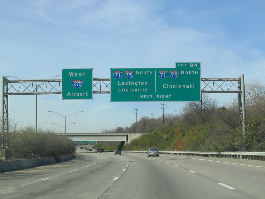
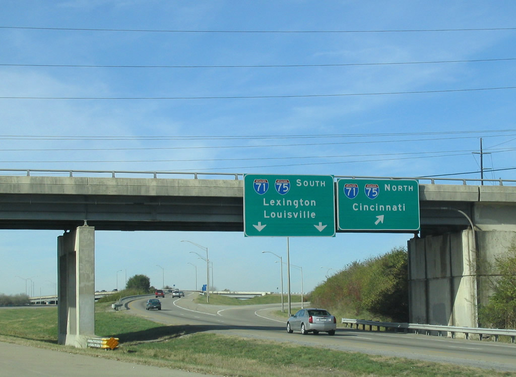
| Interstate 275 expands to four westbound lanes in anticipation of the Exit 84 ramps to I-71/75. I-71/75 overlap from Walton to Downtown Cincinnati. 11/14/04 |
|
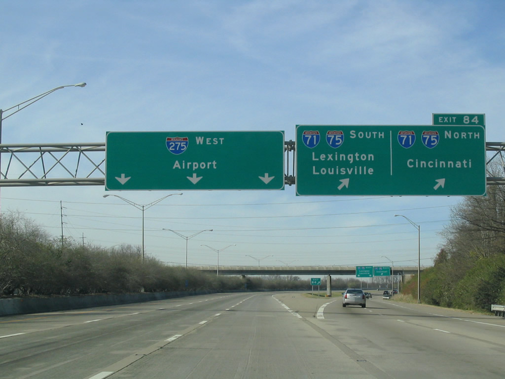
| All traffic to I-71/75 leave I-275 west in unison at Exit 84. I-71/75 travel 7.5 miles to Cincinnati by way of the Brent Spence Bridge. Southward the routes share an eight lane freeway 12 miles to their suburban split. 11/14/04 |
|
| Crescent Springs Pike passes over Interstate 275 at the Exit 84 ramp split. Interstate 71 joins Covington with Louisville, forming the northern portion of Kentucky's Golden Triangle region. Interstate 75 links the Cincinnati area with Lexington and Knoxville, Tennessee. 11/14/04 |
|
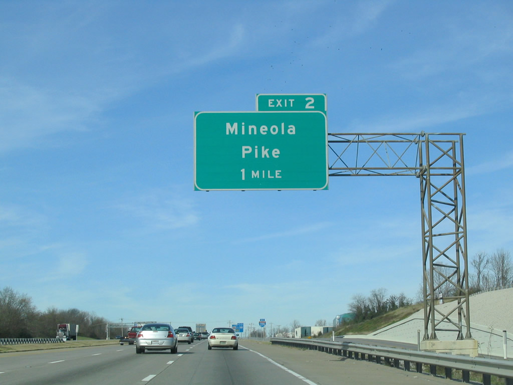
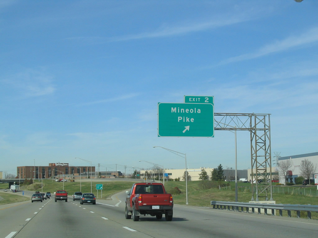
| Interstate 275 bends northwest through Erlanger toward Cincinnati / Northern Kentucky International Airport (CVG). The succeeding exit joins the beltway with Mineola Pike in one mile. 11/14/04 |
|
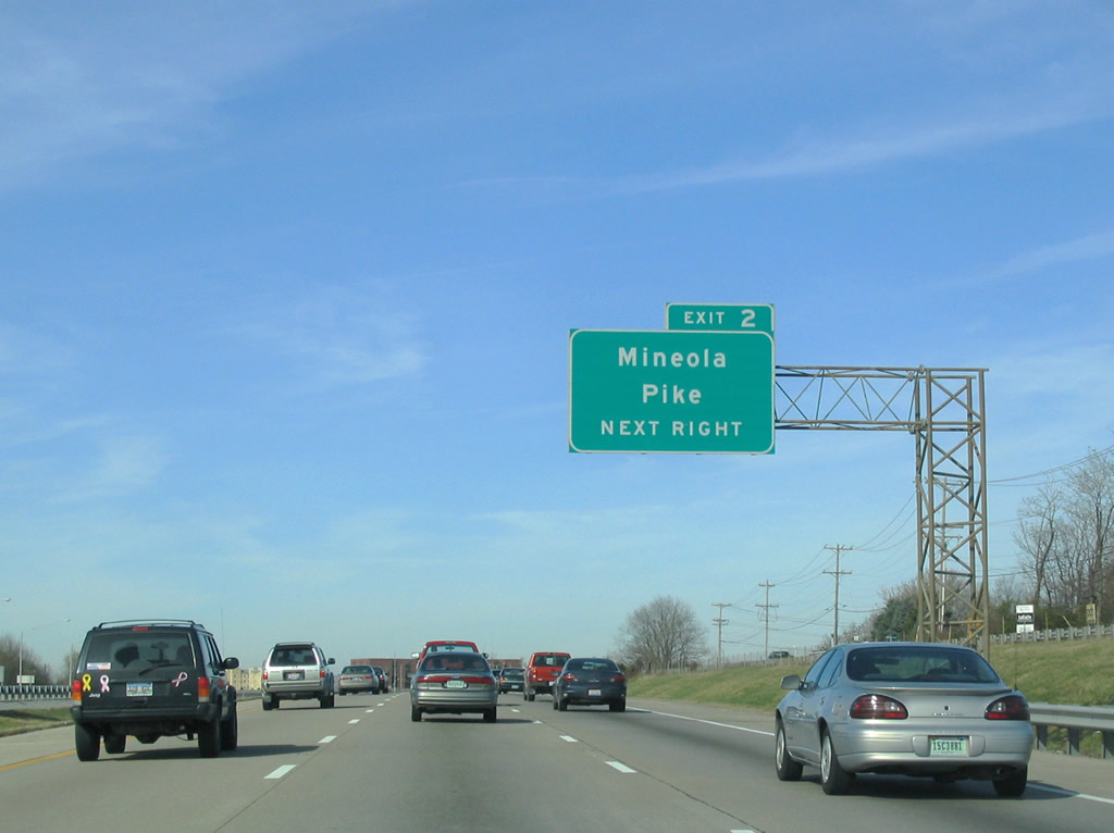
| Exit 2 leaves Interstate 275 west just beyond the Boone County line. Mineola Pike serves a cluster of industrial and business parks on either side of the freeway. 11/14/04 |
|
| Interstate 275 west enters the diamond interchange (Exit 2) with Mineola Pike. Mineola Pike heads west to KY 236 (Donaldson Highway) outside the airport and north to Point Pleasant Road. 11/14/04 |
|
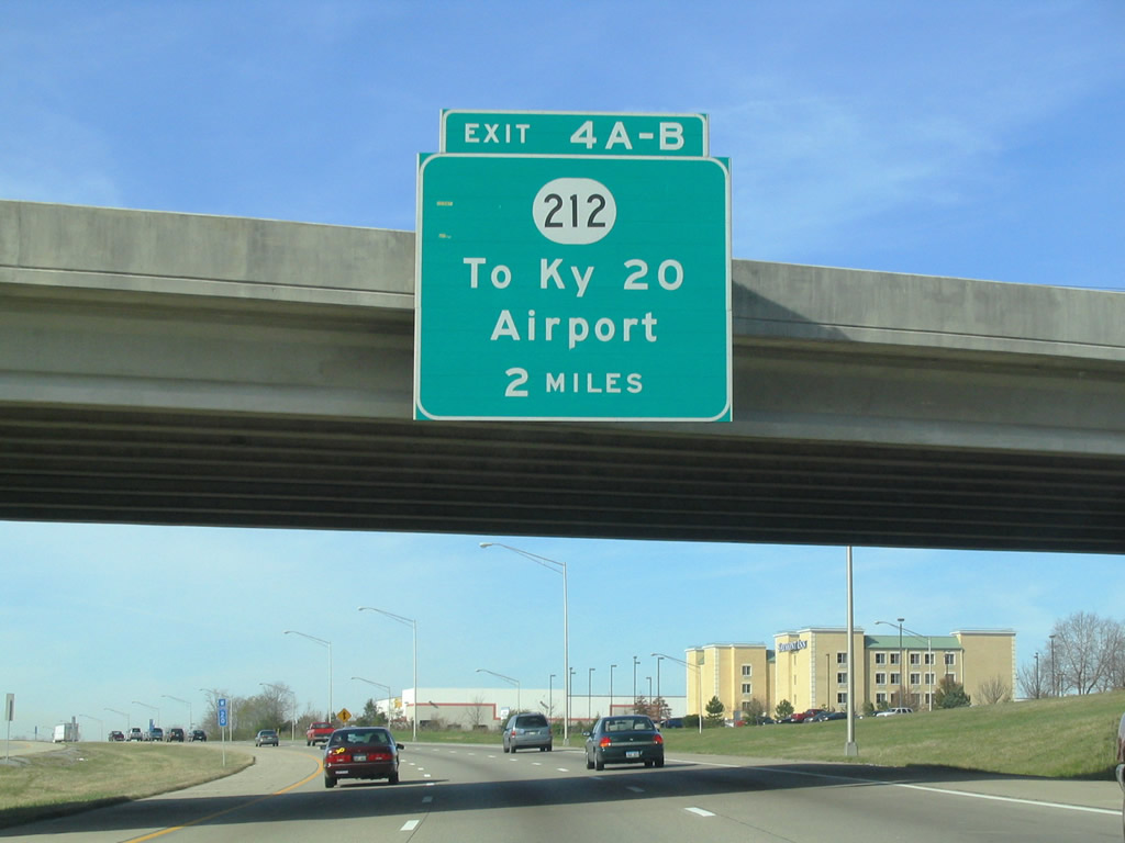
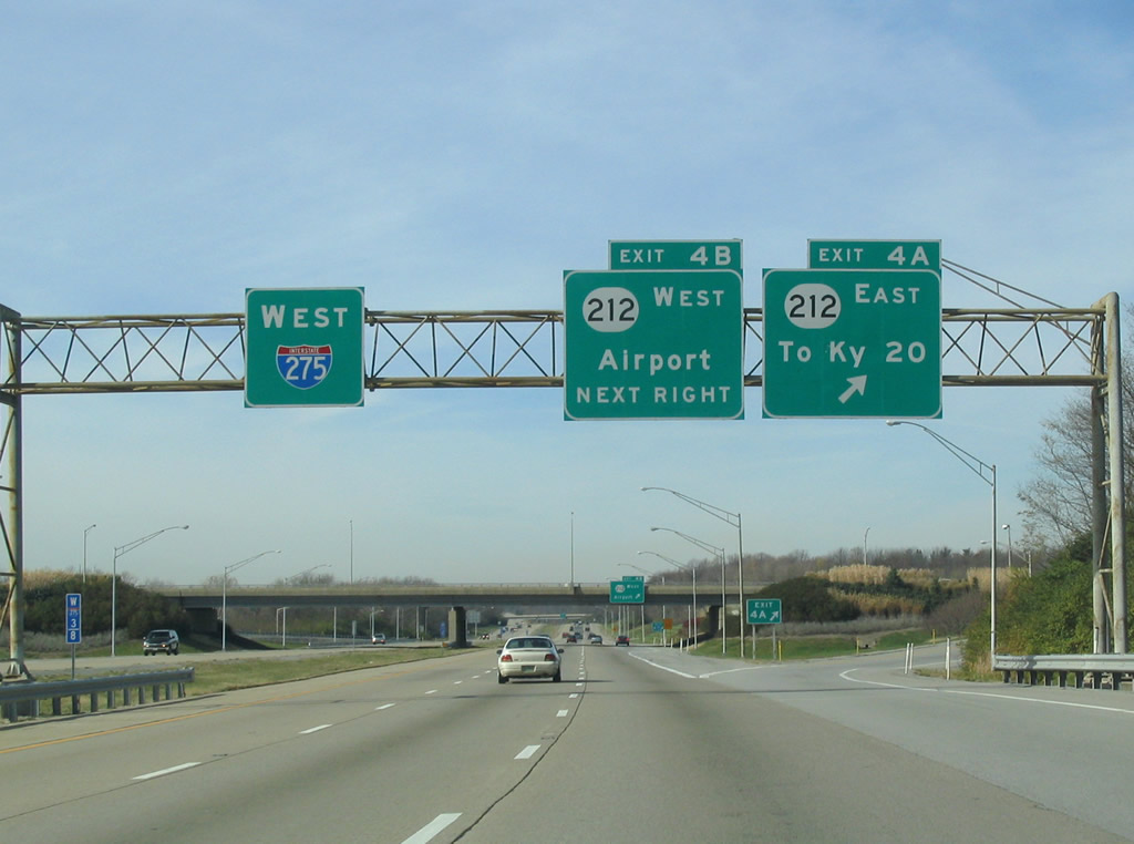
| KY 212 constitutes an expressway connection to Cincinnati / Northern Kentucky International Airport (CVG) from Interstate 275 at Exit 4. 11/14/04 |
|
| One mile southeast of the parclo interchange (Exit 4) with KY 212 at the Point Pleasant Road overpass. KY 212 travels just 1.07 miles from the airport terminal north to adjacent KY 20 (Petersburg Road). 11/14/04 |
|
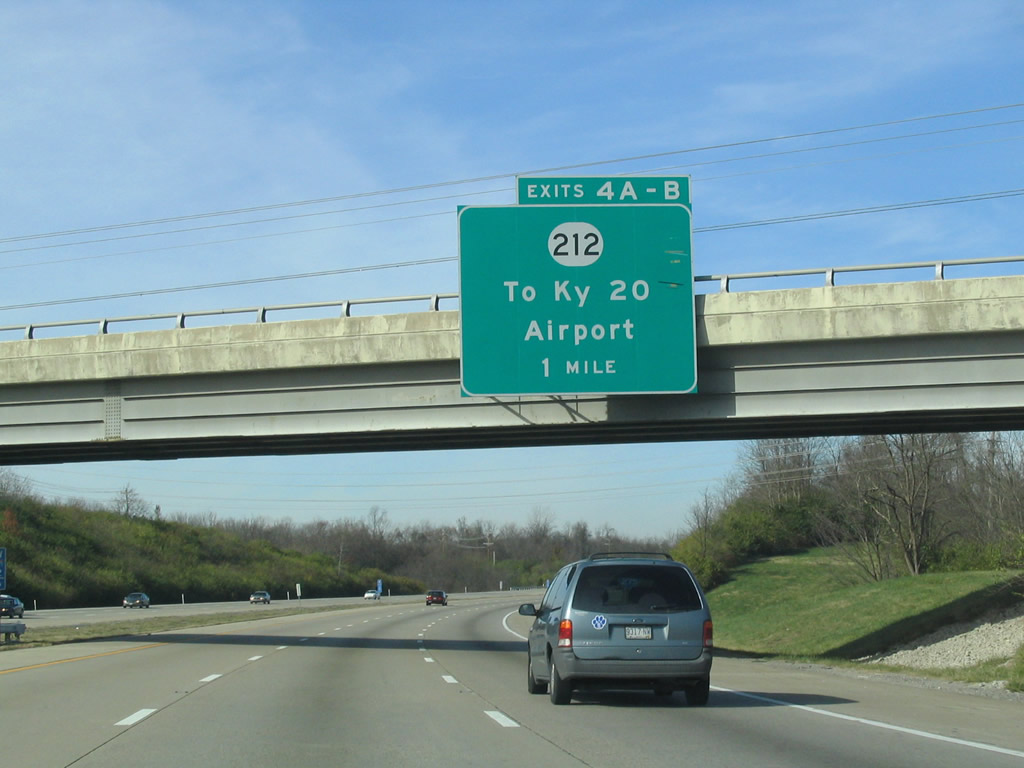
| Exit 4A connects with KY 212 east to KY 20. KY 20 (Petersburg Road) climbs southward from its beginning at KY 8 (River Road) to Airport International and Skyport Business Parks north of the freeway. 11/14/04 |
|
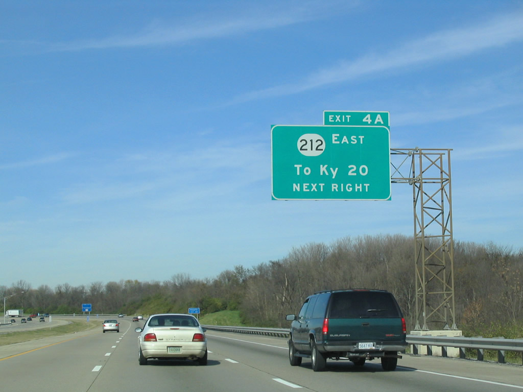
| Westbound at the Exit 4A ramp departure to KY 212 east for KY 20. KY 20 travels 20.73 miles overall between KY 8 and KY 18 at Belleview. The state route parallels Interstate 275 west through a tunnel below an airport runway to Idlewild. 11/14/04 |
|
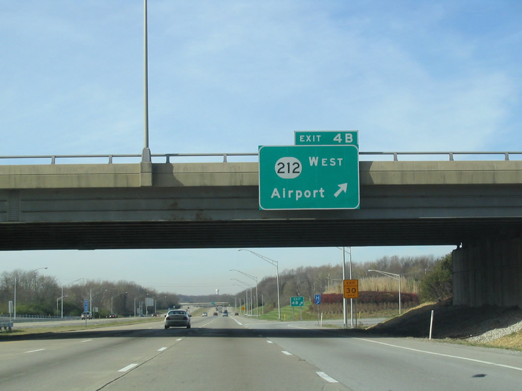
| A loop ramp joins KY 212 west (south) to the airport. A diamond interchange along the expressway provides access to KY 236 (Donaldson Road) for the air cargo facilities of the airport. 11/14/04 |
|
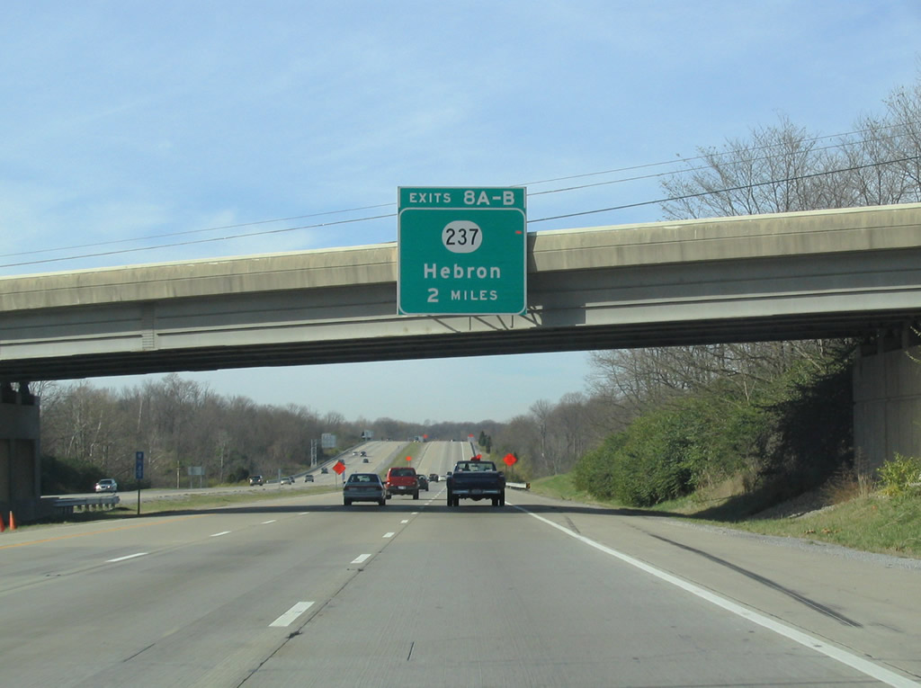
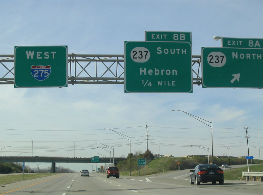
| Attached to the KY 20 (Petersburg Road) overpass is the two mile guide sign for Exit 8 (KY 237). 11/14/04 |
|
| KY 237 (North Bend Road) travels west of CVG Airport by a number of the industrial parks associated with it along a four lane highway. 11/14/04 |
|
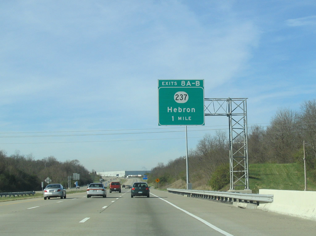
| A parclo interchange splits movements to KY 237 (North Bend Road) into separate ramps. Exit 8A carries drivers northward to South Park and Park West International business parks and a number of subdivisions in Francisville. KY 237 ends at KY 8 (River Road). 11/14/04 |
|
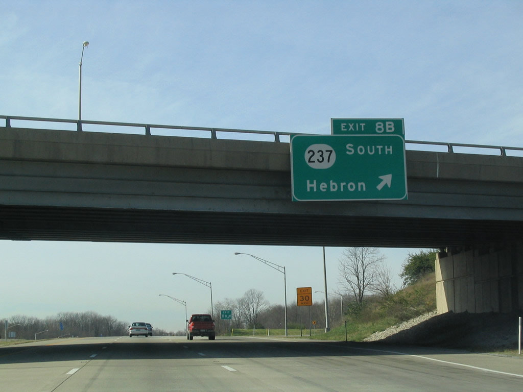
| Exit 8B follows onto KY 237 (Bend Road) south into Hebron. The 14.78 mile state route arcs southeast from through suburban areas to KY 536 in the city of Union. 11/14/04 |
|
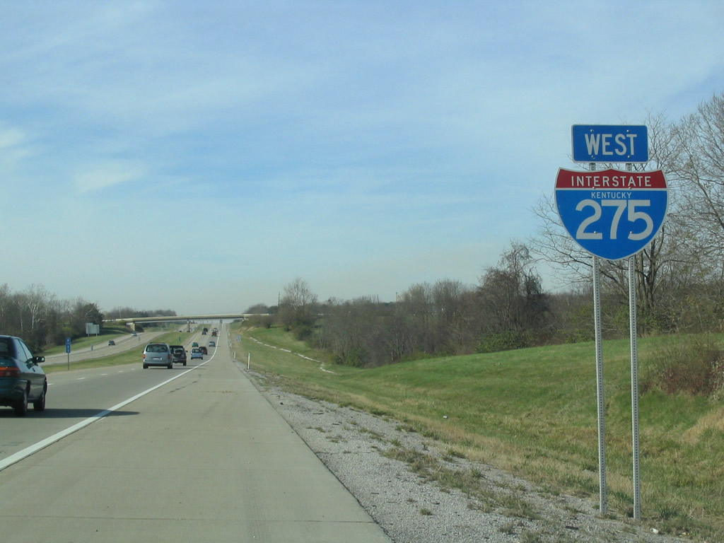
| Reassurance shield posted along Interstate 275 west ahead of the Graves Road overpass. 11/14/04 |
|
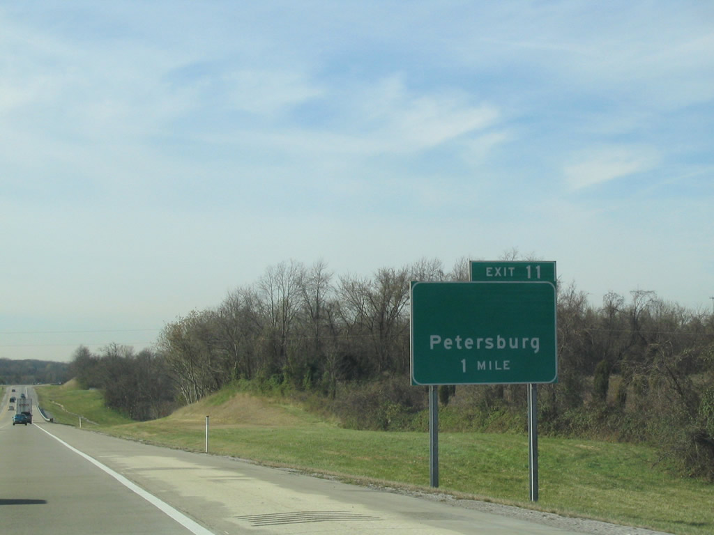
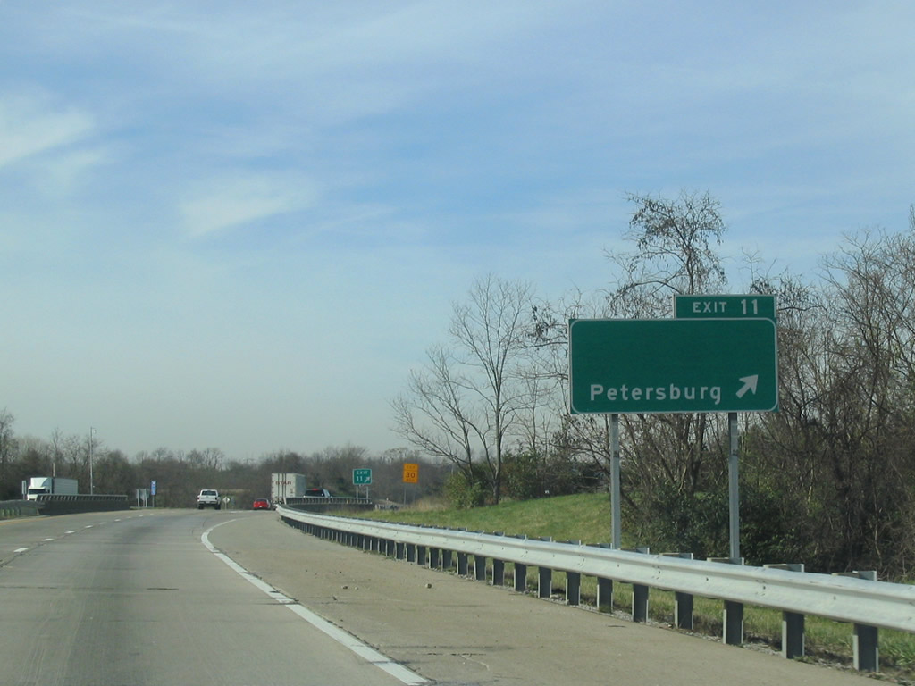
| Exit 11 connects Interstate 275 with parallel KY 20 and the settlement of Idlewild. 11/14/04 |
|
| One mile east of the parclo interchange (Exit 11) with KY 3608 on I-275 west. KY 3608 (Idlewild Bypass) constitutes a 1.17 mile route from Exit 11 to KY 20 (Petersburg Road). 11/14/04 |
|
| KY 3608 south to KY 20 from Exit 11 provides a direct route to the community of Petersburg to the west. KY 20 follows the Ohio River south and east from there to Belleview. 11/14/04 |
|
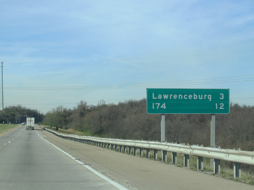
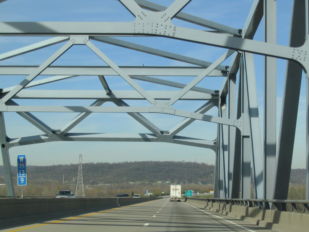
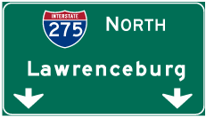
| Lawrenceburg, Indiana is the next exit and the furthest west Interstate 275 travels. 12 miles separate Exit 11 from the merge with Interstate 74 east in Ohio. 11/14/04 |
|
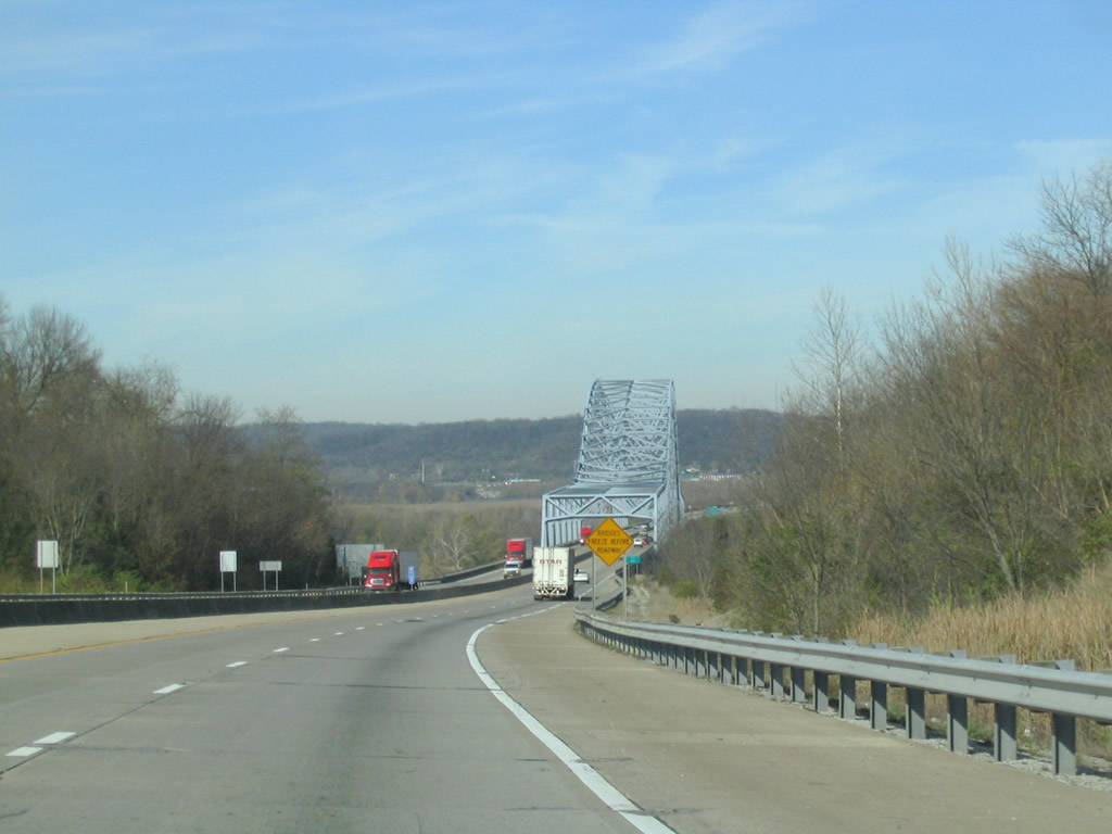
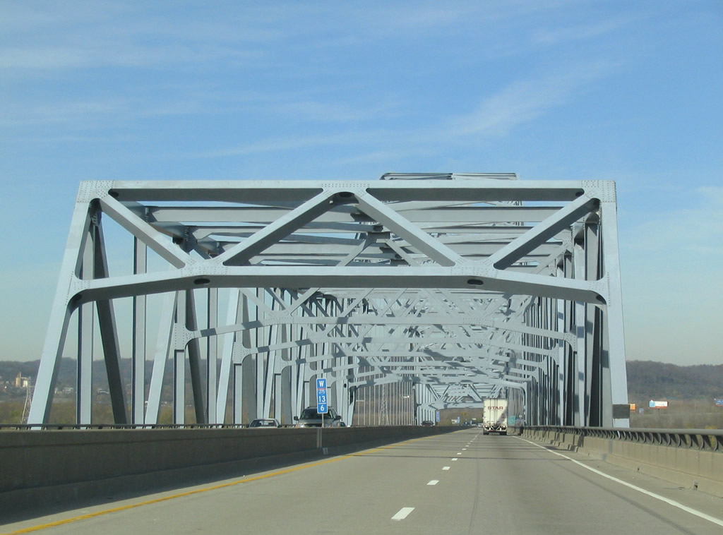
| Interstate 275 curves northwest and approaches the Carroll C. Cropper Bridge, a steel through arch bridge across the Ohio River. 11/14/04 |
|
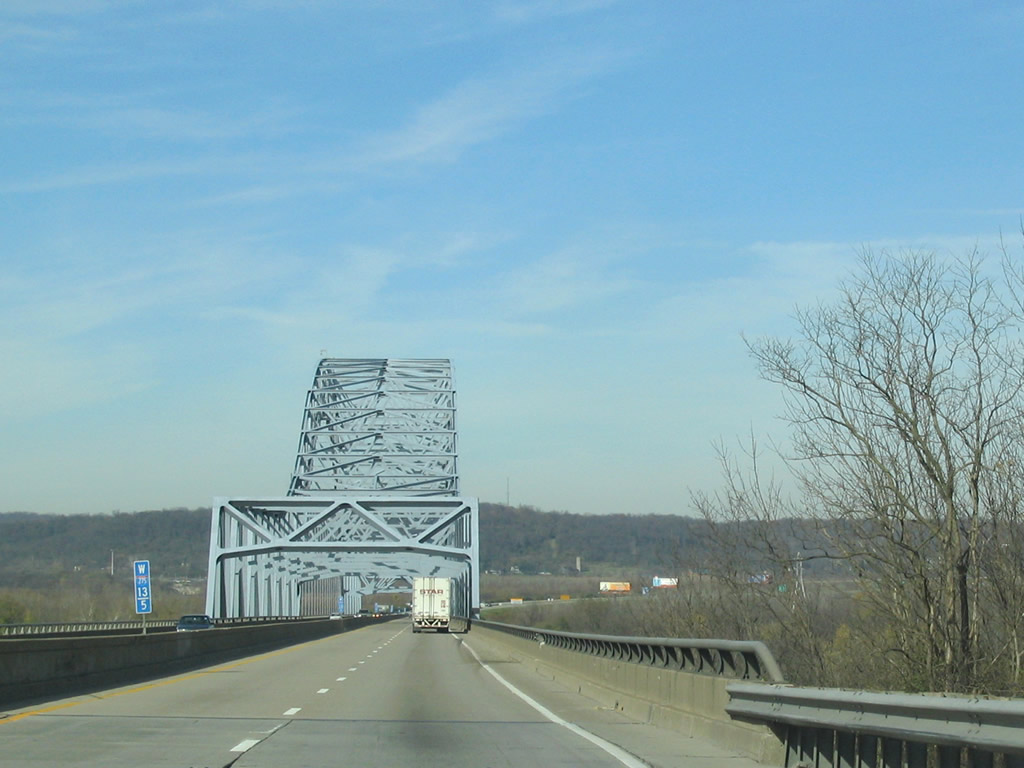
| The Carroll C. Cropper Bridge carries four overall lanes with no shoulders on a 61.7 foot wide deck.1 11/14/04 |
|
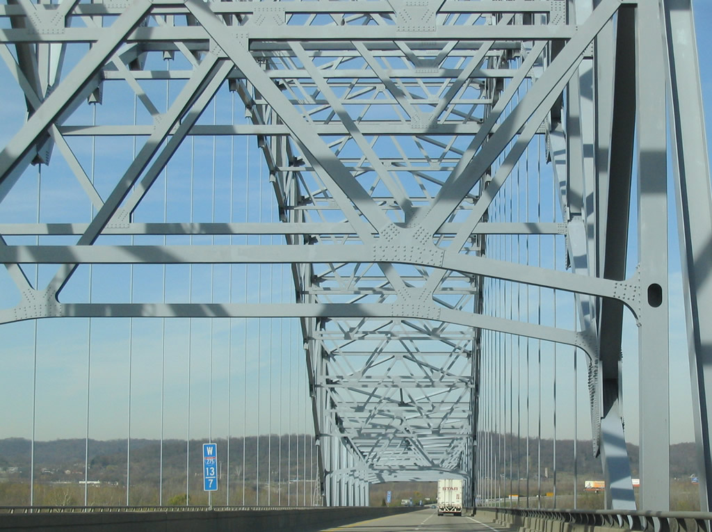
| Construction on the bridge to Lawrenceburg, Indiana commenced in 1968 and was finished in December 1977. 11/14/04 |
|
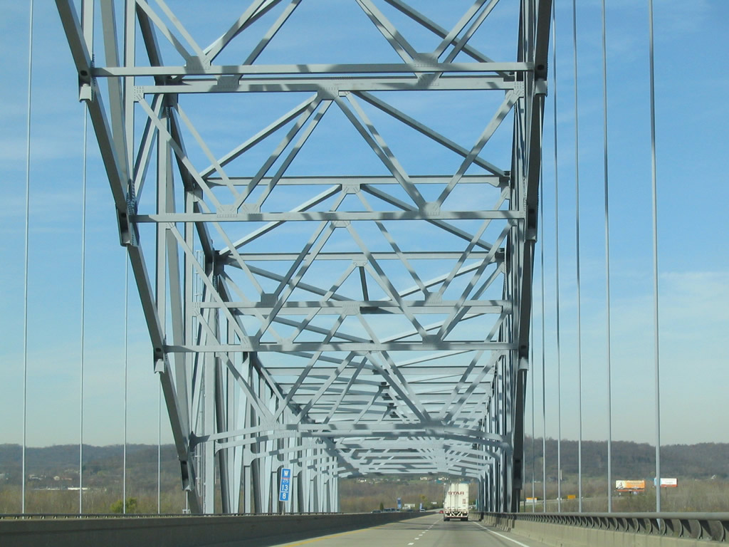
| Travelers enter the Hoosier State two thirds of the way across the Ohio River. The Carroll Cropper Bridge totals 3,258 feet in length.1 11/14/04 |
Page Updated 09-22-2016.

 West
West