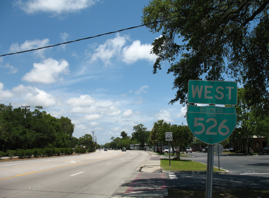
Business Spur I-526 (Chuck Dawley Boulevard) extends 1.57 miles southwest from the east end of Interstate 526 at U.S. 17 in the town of Mt. Pleasant. The five lane boulevard links U.S. 17 and I-526 with S.C. 703 (Coleman Boulevard) south to Sullivan's Island.
|
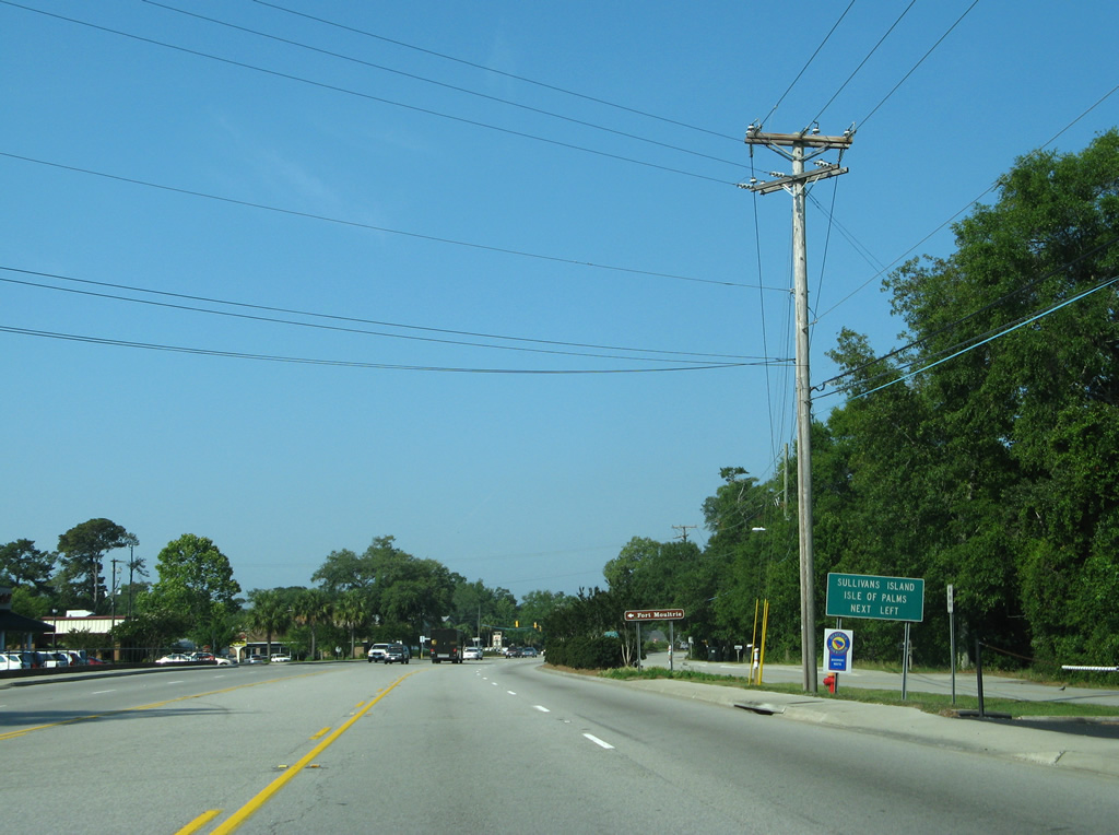
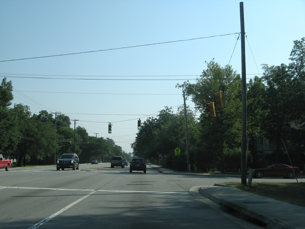
| Heading southwest along Business Spur I-526 east toward the intersection with S.C. 703. S.C. 703 connects Mount Pleasant and Charleston with the coastal cities of Sullivans Island and Isle of Palms in addition to the Fort Moultrie historic site. 05/30/07 |
|
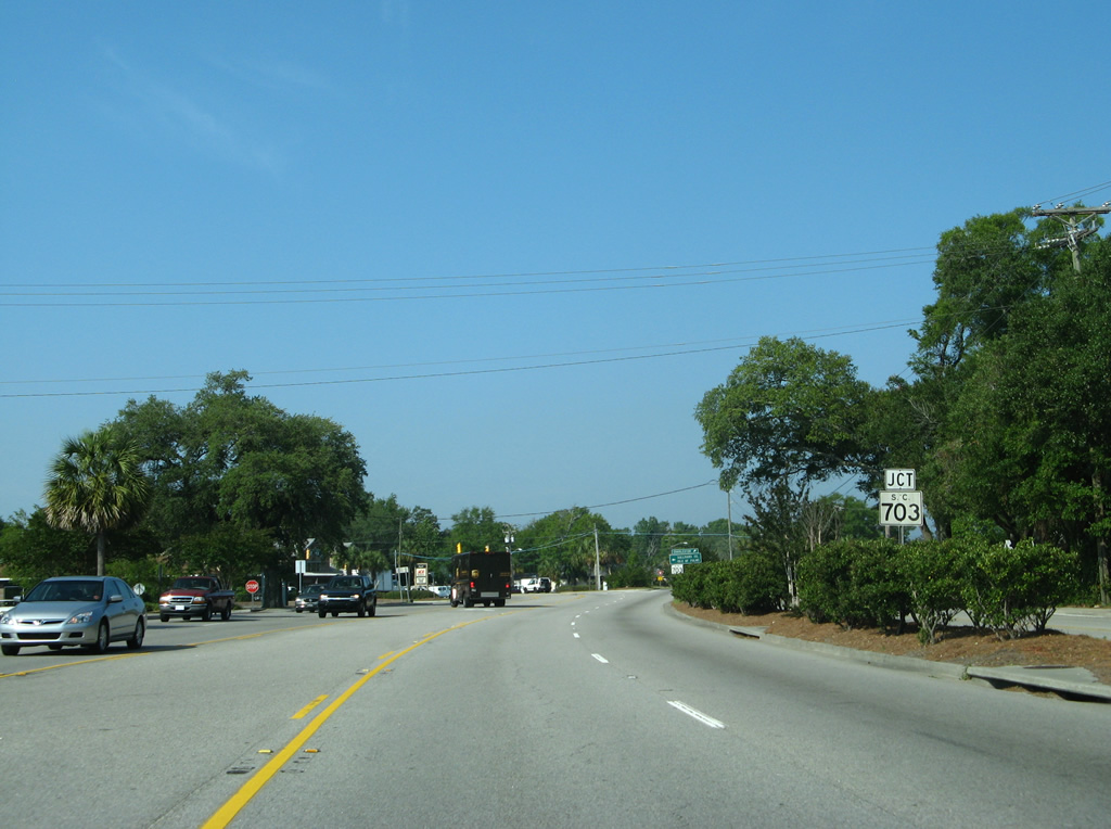
| S.C. 703 constitutes a 10.93 mile long route from 41st Avenue at Palm Boulevard in the city of Isle of Palms west to the Arthur Ravenel, Jr. Bridge. 05/30/07 |
|
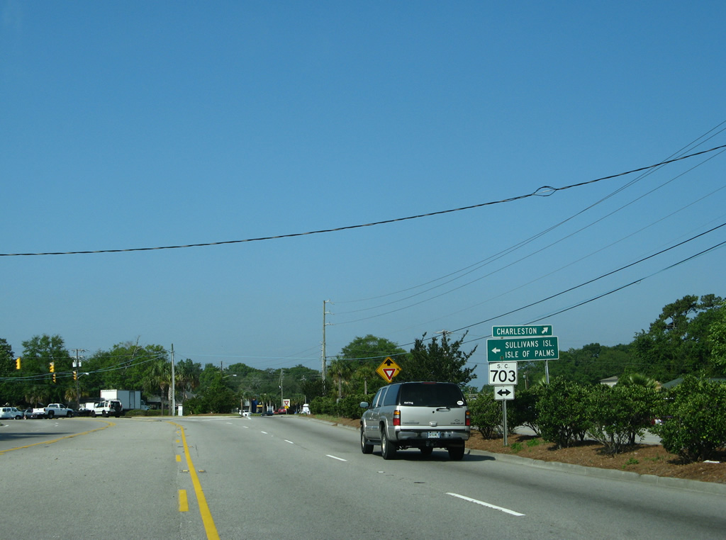
| Business Spur I-526 and Chuck Dawley Boulevard end as S.C. 703 turns west onto Coleman Boulevard from Ben Sawyer Boulevard north. 05/30/07 |
|
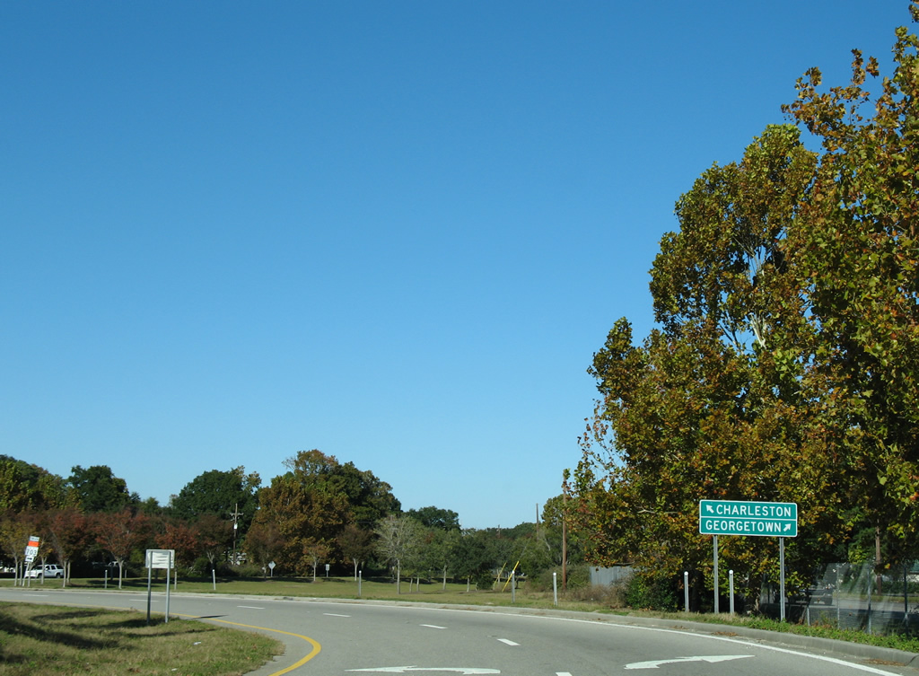
| Business Spur I-526 is signed as an east-west highway reflecting the cardinal directions of Interstate 526 encircling North Charleston and Charleston. The first shield lies just east of S.C. 703. 05/27/07 |
|
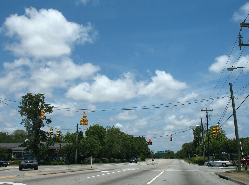
| The intersection with Myrick Road is signalized as the local road connects Business Spur I-526 (Chuck Dawley Boulevard) with an elementary school at Rifle Range Road. 05/30/07 |
|
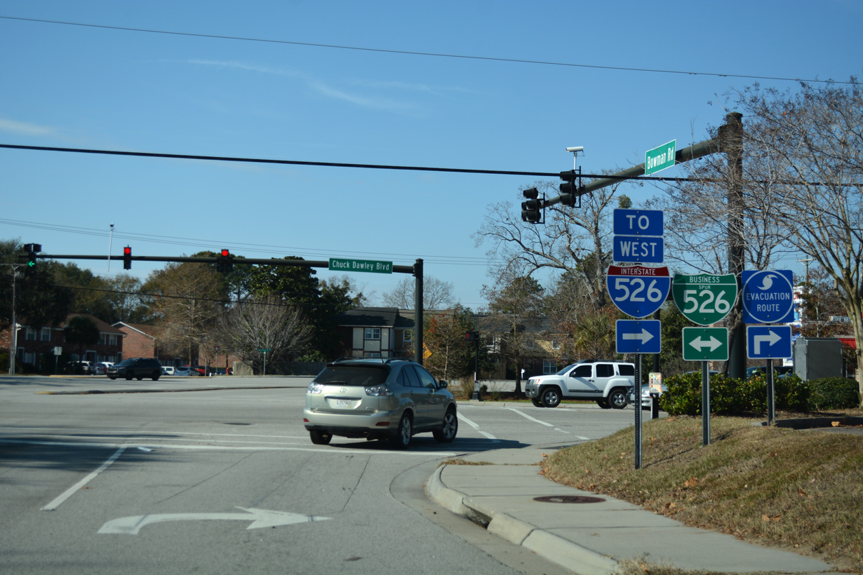
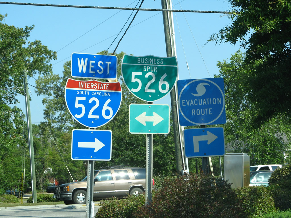
| Bowman Road leads north from Rifle Range Road to Business Spur I-526 (Chuck Dawley Boulevard) ahead of U.S. 17. Bowman Road continues north to a 2012-completed interchange with U.S. 17 (Johnnie Dodds Boulevard). U.S. 17 was expanded with new overpasses added at Bowman Road and the I-526 connector at Hungry Neck Boulevard as part of a $68 million three mile project east from the Ravenel Bridge.1 05/27/07 |
|
| Chuck Dawley Boulevard transitions into the Mark Clark Expressway beyond Bowman Road. A parclo interchange joins Business Spur I-526 with U.S. 17 (Johnnie Dodds Boulevard) and the beginning of I-526. 12/31/17 |
|
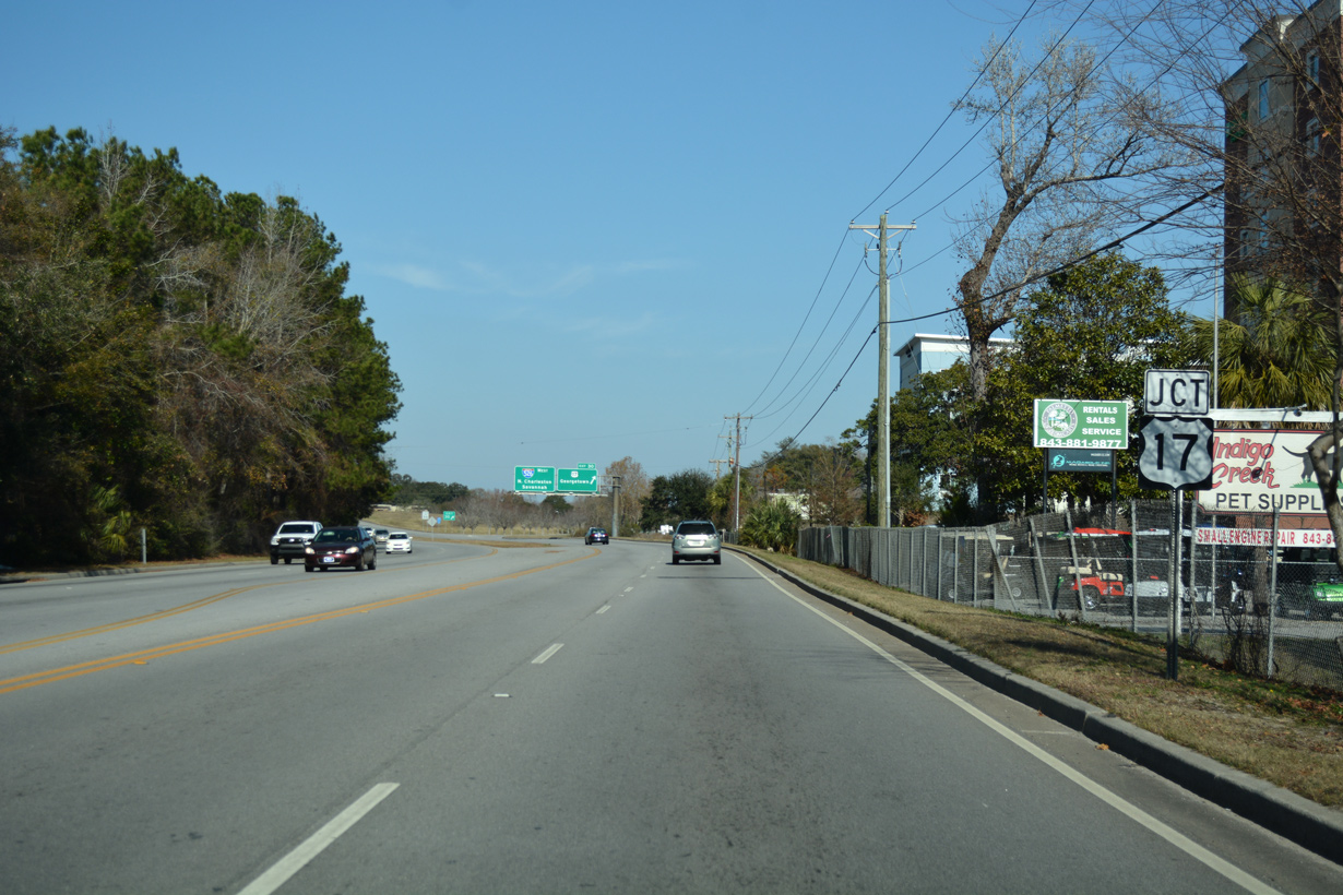
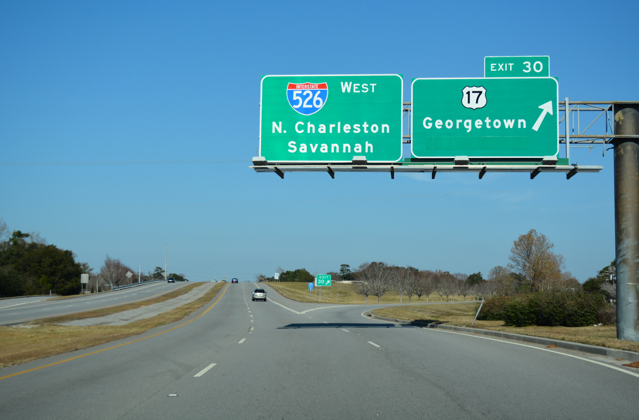
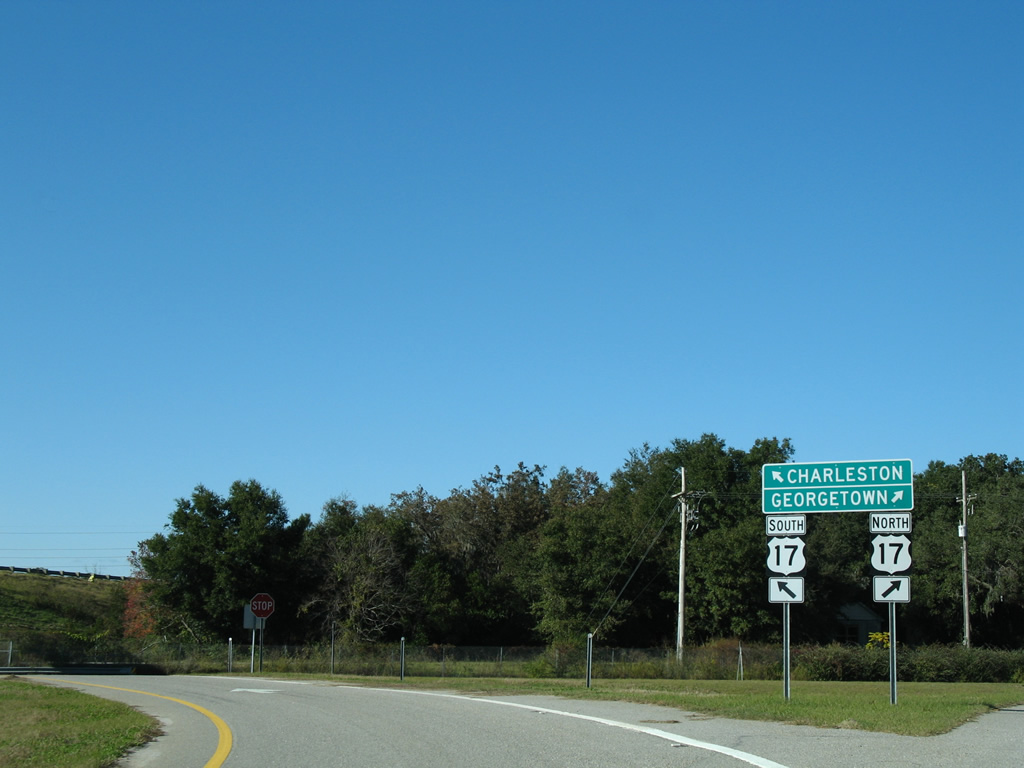
| Exit 30 departs from Business Spur I-526 east to U.S. 17 north. Interstate 526 travels north and then west across the Wando and Cooper Rivers to North Charleston, providing a long distance bypass for U.S. 17 south to Savannah, Georgia. 12/31/17 |
|
| Construction along U.S. 17 to Spring 2013 removed the left turn from Exit 30 to U.S. 17 south. Motorists headed to Charleston via U.S. 17 south from Business Spur I-526 are directed onto Bowman Road north to a diamond interchange with Johnnie Dodds Boulevard. 11/12/06 |
|
| The former turn onto U.S. 17 south from Business Spur I-526 west. U.S. 17 continues a short distance to a SPUI completed in 2013 with the I-526 connector and Hungryneck Boulevard. 11/12/06 |
|
| Bowman Road north at Business Spur I-526 (Chuck Dawley Boulevard). The Business Spur directly transitions into I-526 west to the right. 12/31/17, 05/30/07 |
Page Updated 09-15-2018.

 East
East