
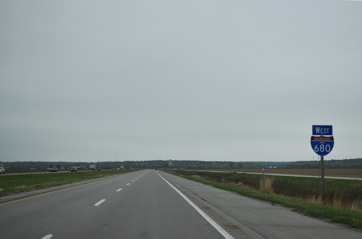
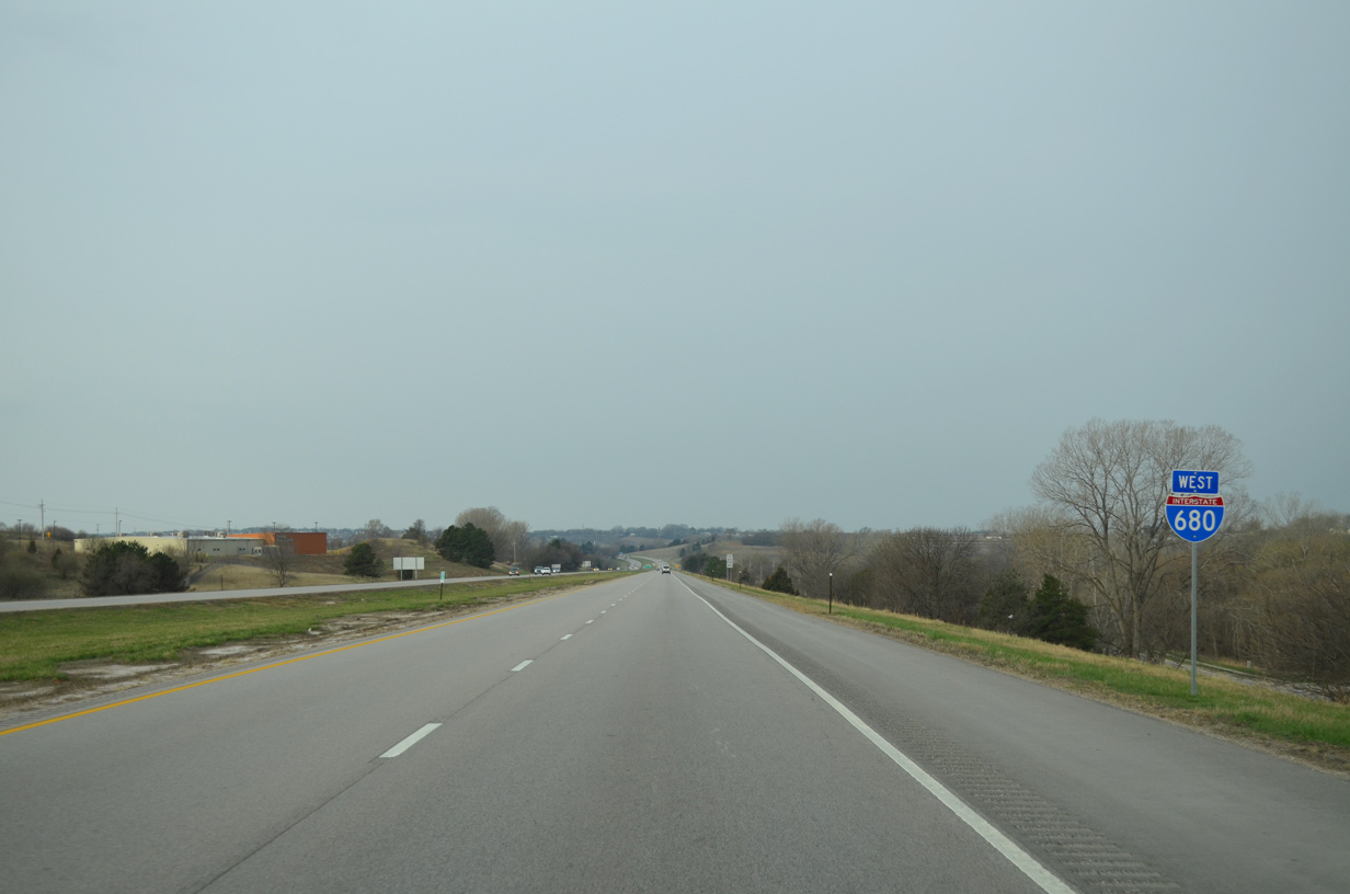
 West
West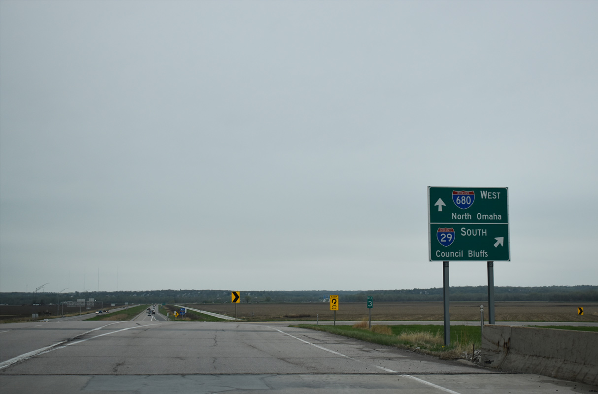
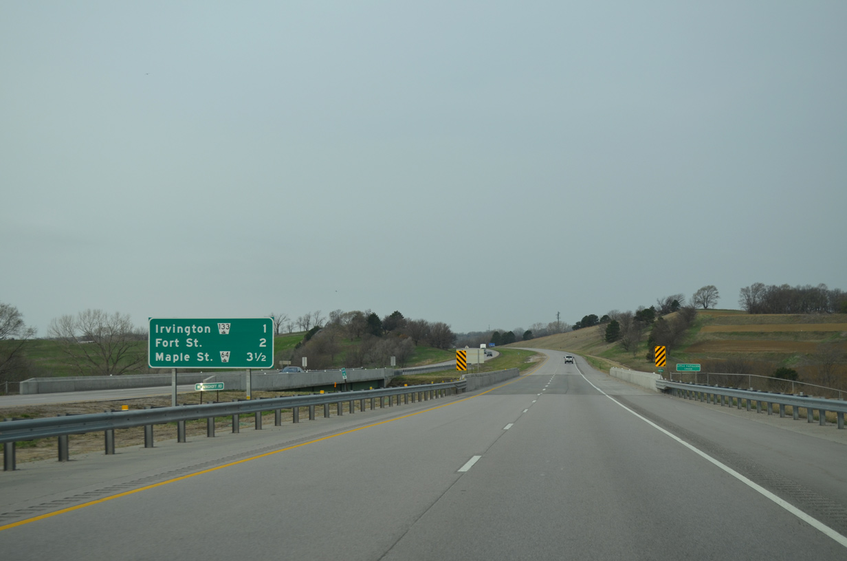
CR G37 (Old Mormon Bridge Road) stems 2.2 miles west from CR L20 (Old Lincoln Highway) in the city of Crescent to become I-680 at the cloverleaf interchange with Interstate 29.
05/08/22
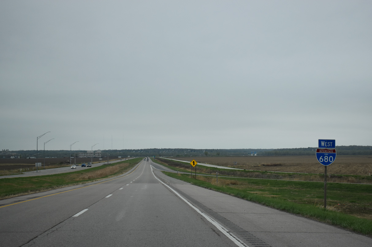
The first confirming marker for Interstate 680 precedes the entrance ramp from I-29 southbound.
05/08/22
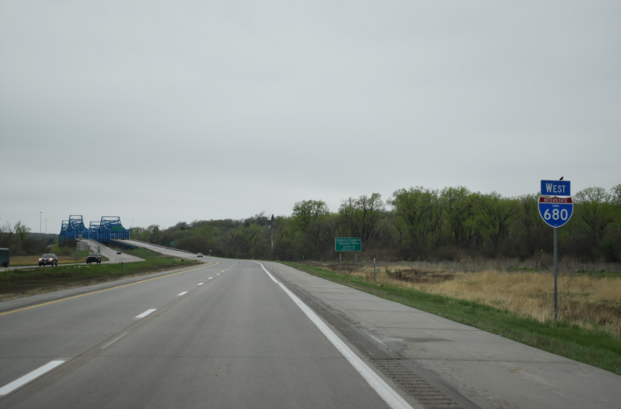
Interstate 680 runs across agricultural areas within the Missouri River floodplain from I-29 to the Mormon Bridge.
05/08/22
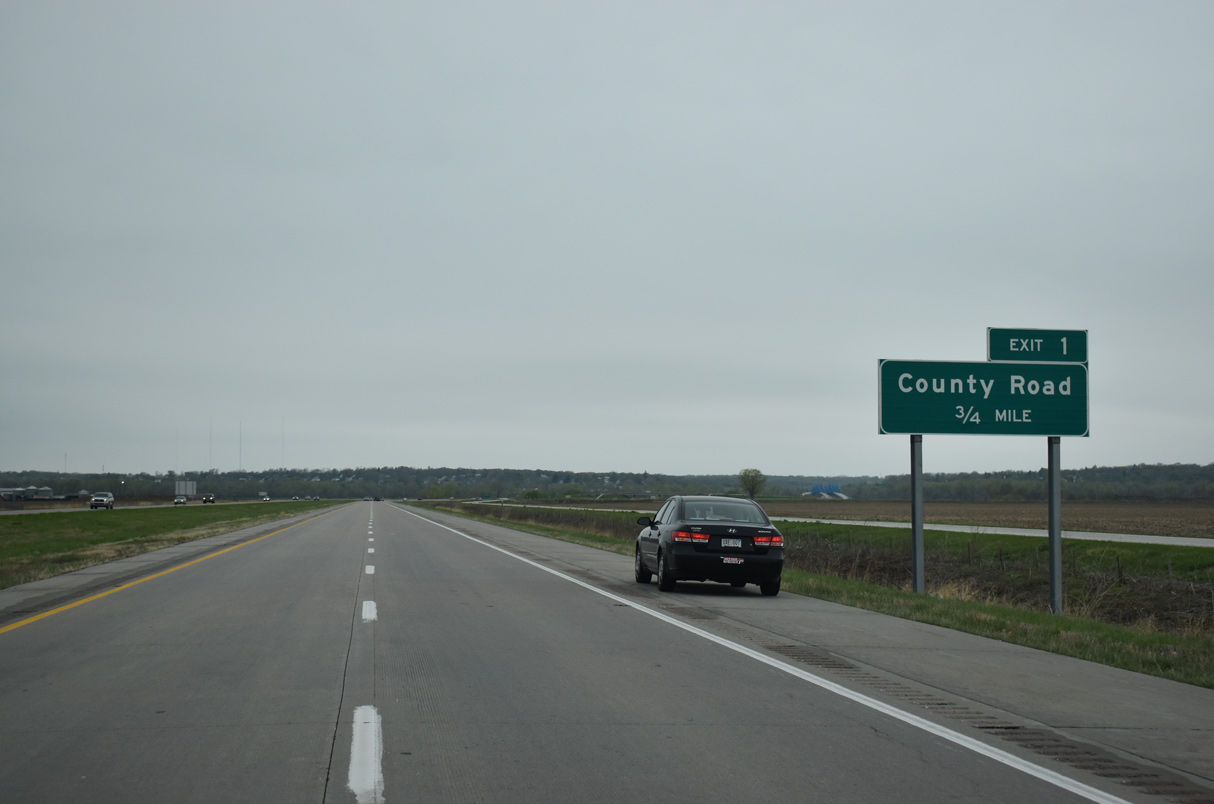
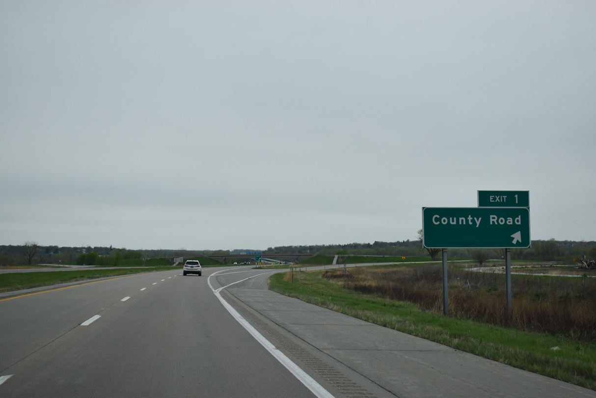
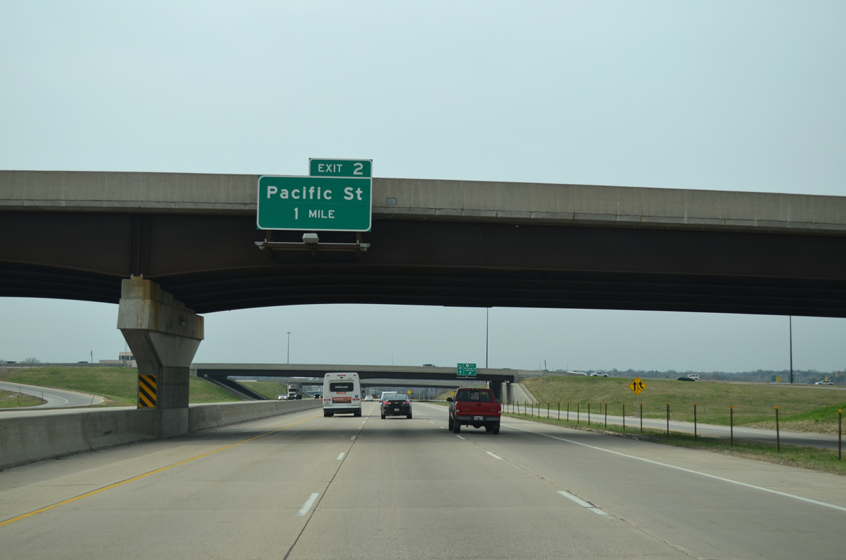
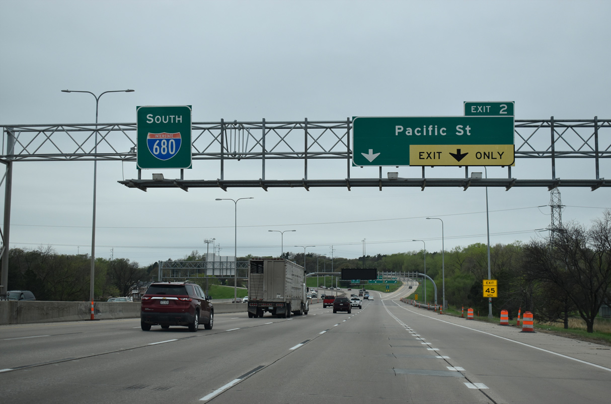
The diamond interchange (Exit 1) with 130th Street precedes the Missouri River along Interstate 680 west.
05/08/22
05/08/22
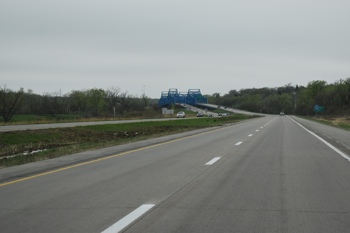
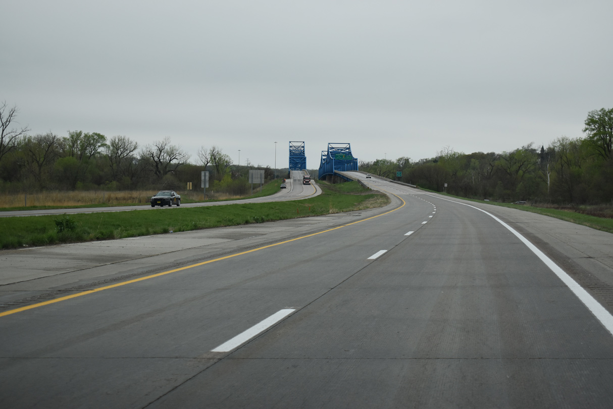
The Mormon Pioneer Memorial Bridge comes into view beyond the entrance ramp from 130th Street.
05/08/22
05/08/22
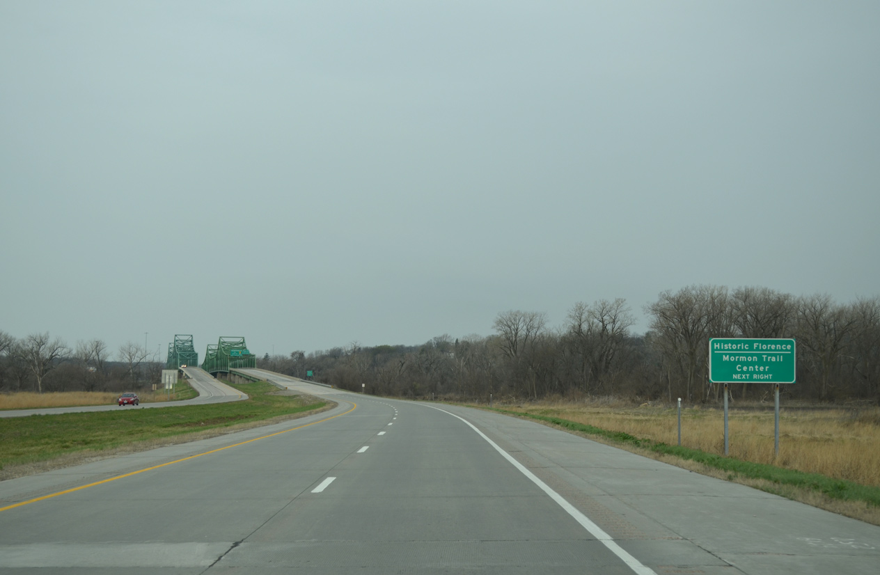
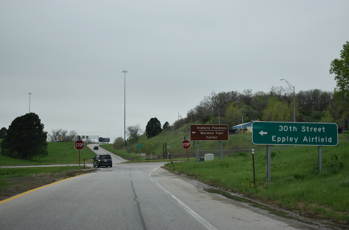
The first exit in Omaha, Nebraska joins I-680 with N 31st Street to N 30th Avenue south to the Mormon Trail Center and the Historic Florence neighborhood.
03/30/16
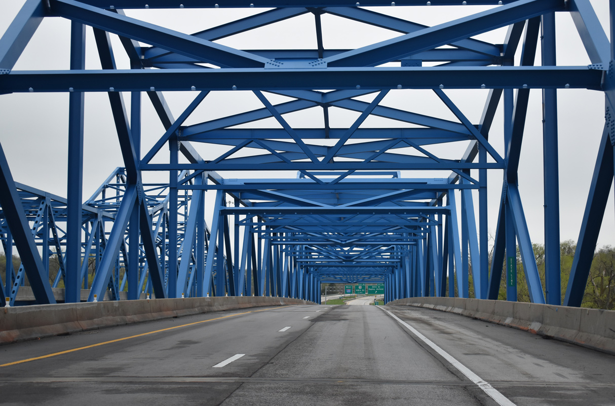
Interstate 680 crosses the Missouri River on a pair of Steel Continuous Through Truss bridges.
05/08/22
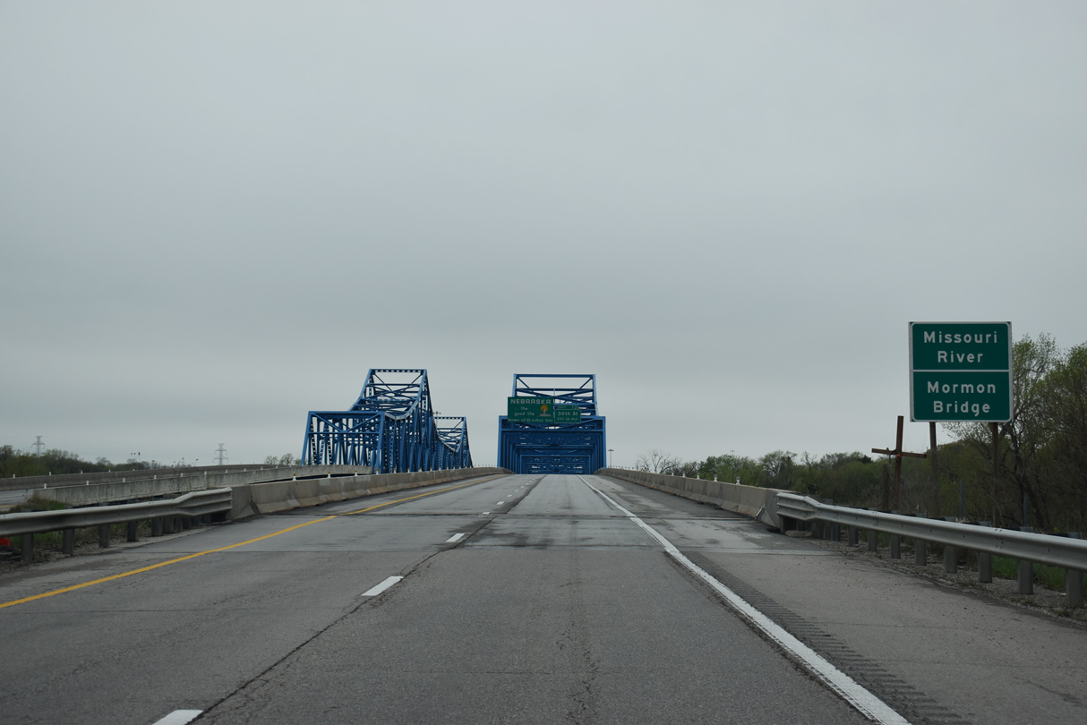
The westbound Mormon Pioneer Memorial Bridge measures 1,711 feet in length.1
05/08/22
Accommodating two lanes with a full outside shoulder, the span for I-680 west was built in 1975.1
05/08/22
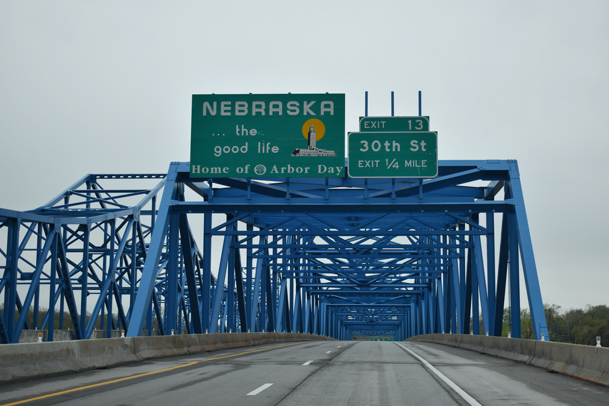
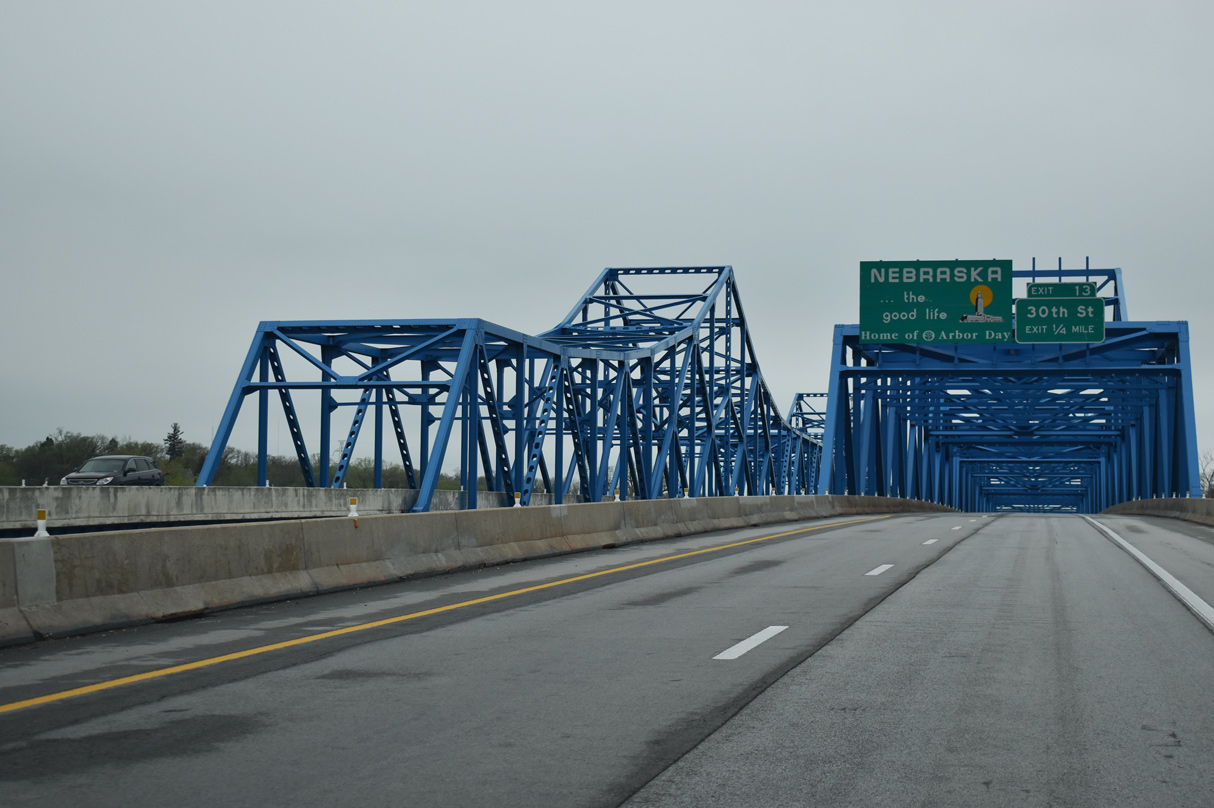
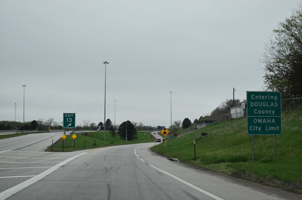
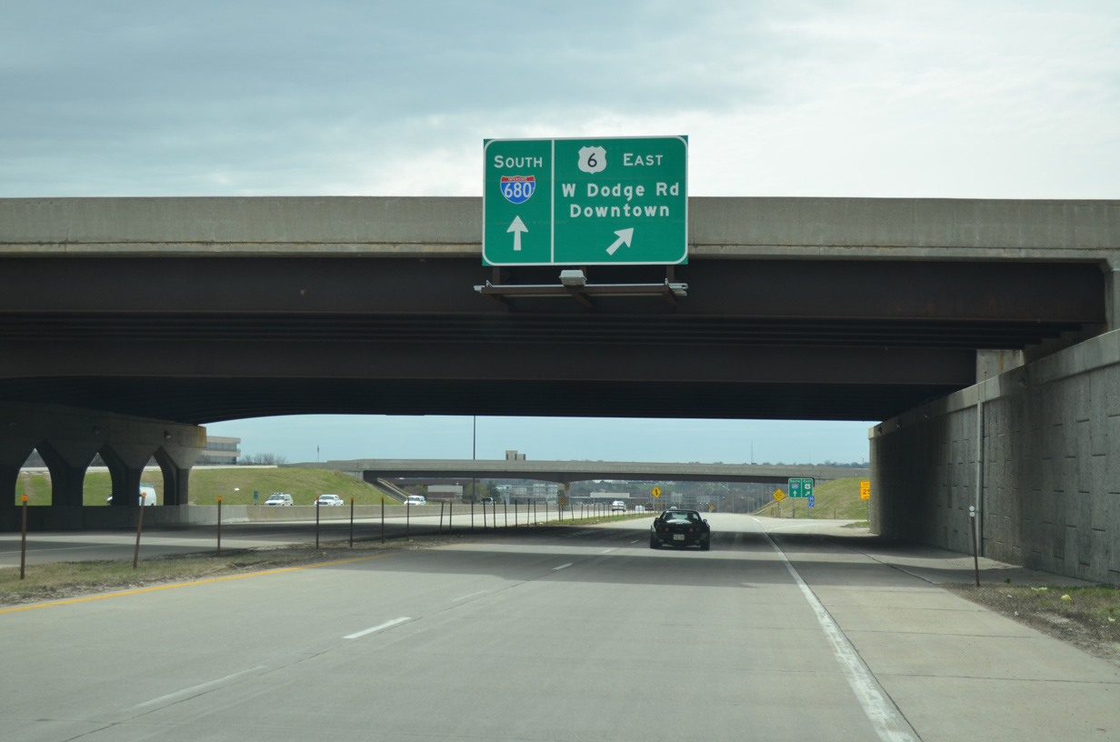
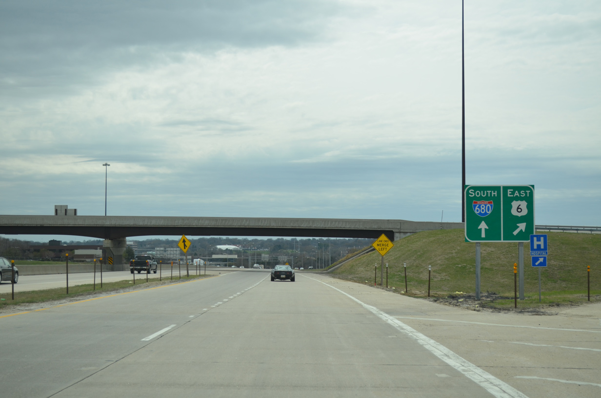
Interstate 680 enters Douglas County, Nebraska midway across the Missouri River. Exit 13 departs from the west end of the Mormon Bridge.
05/08/22
Tolls were collected at the Mormon Bridge until 1979.1
05/08/22
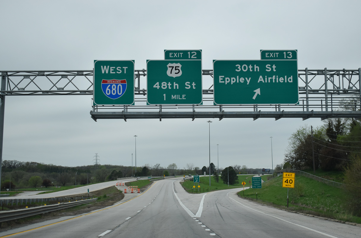
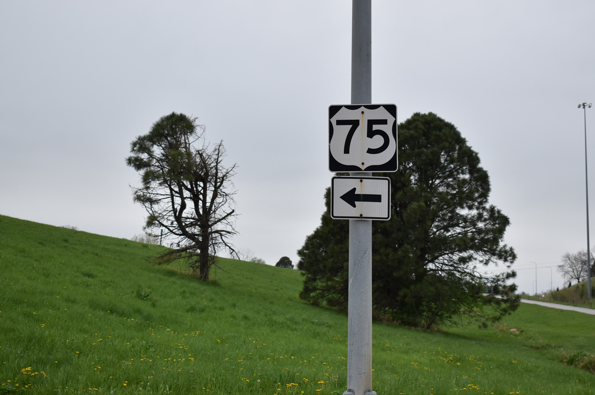
31st Street links I-680 with U.S. 75 along McKinley Street west and N 30th Avenue south in north Omaha.
05/08/22
05/08/22
U.S. 75 runs south from Florence to the Arthur C. Storz Expressway east for Eppley Airfield (OMA).
05/08/22
05/08/22
U.S. 75 parallels I-680 west along McKinley Street to 48th Street at Mormon Bridge Road, where it turns north to Exit 12.
05/08/22
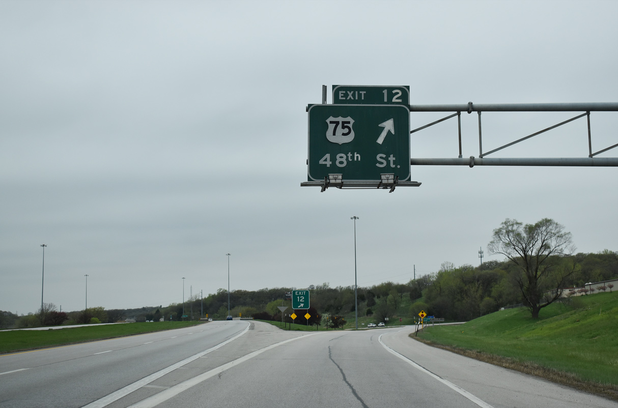
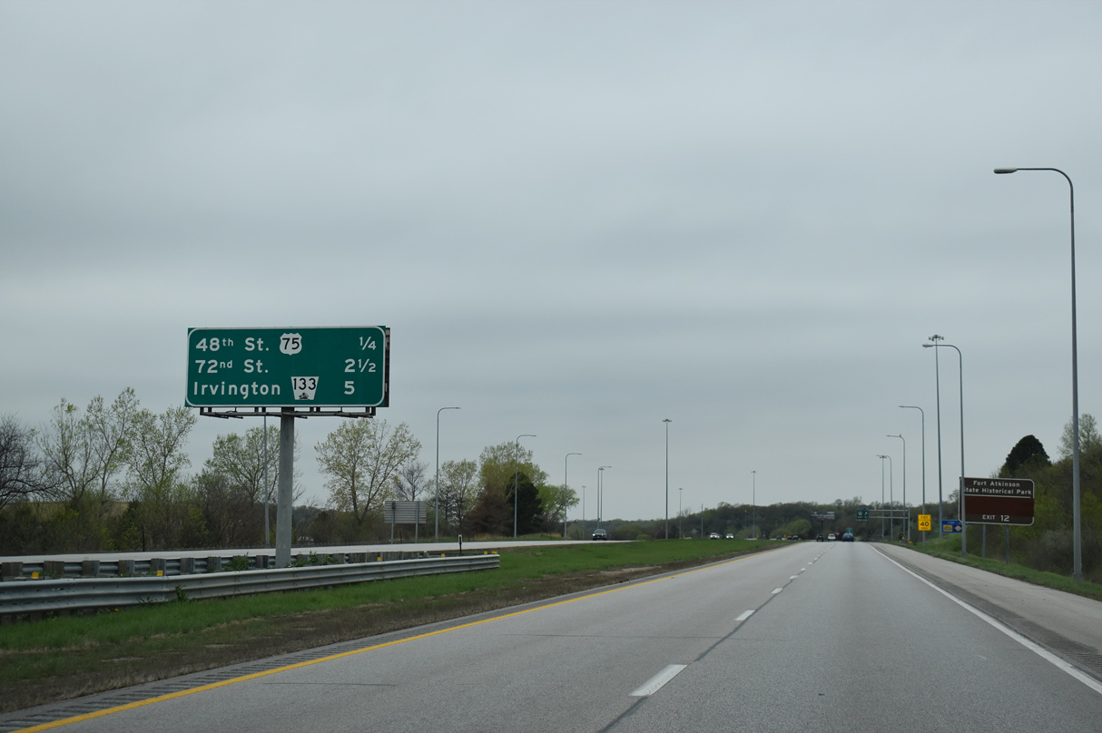
A diamond interchange (Exit 12) joins I-680 with U.S. 75 (48th Street) in northern reaches of Omaha.
05/08/22
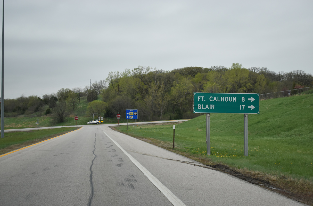
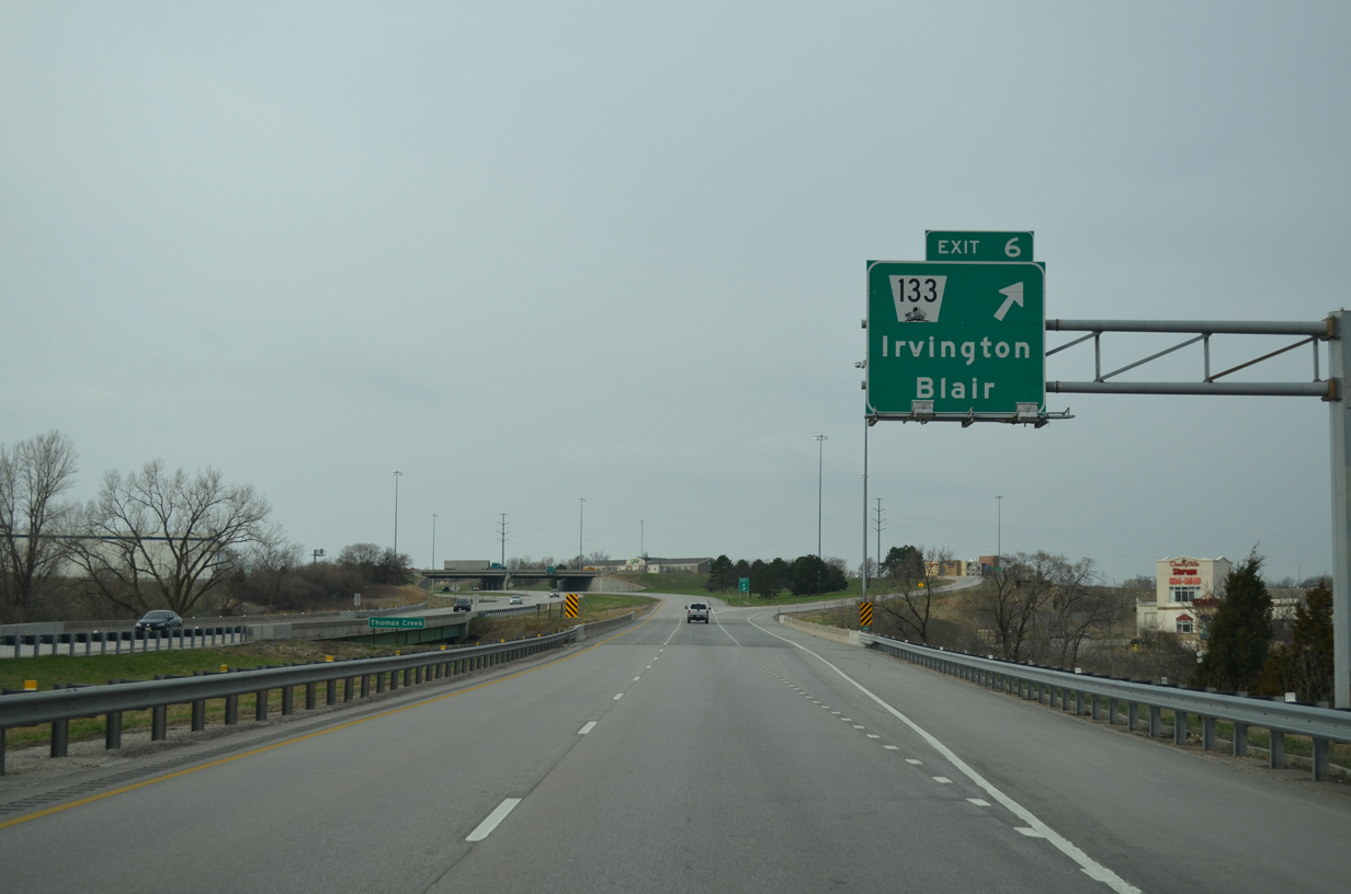
U.S. 75 travels north from Omaha to Fort Atkinson State Historical Park and Fort Calhoun and Blair.
05/08/22
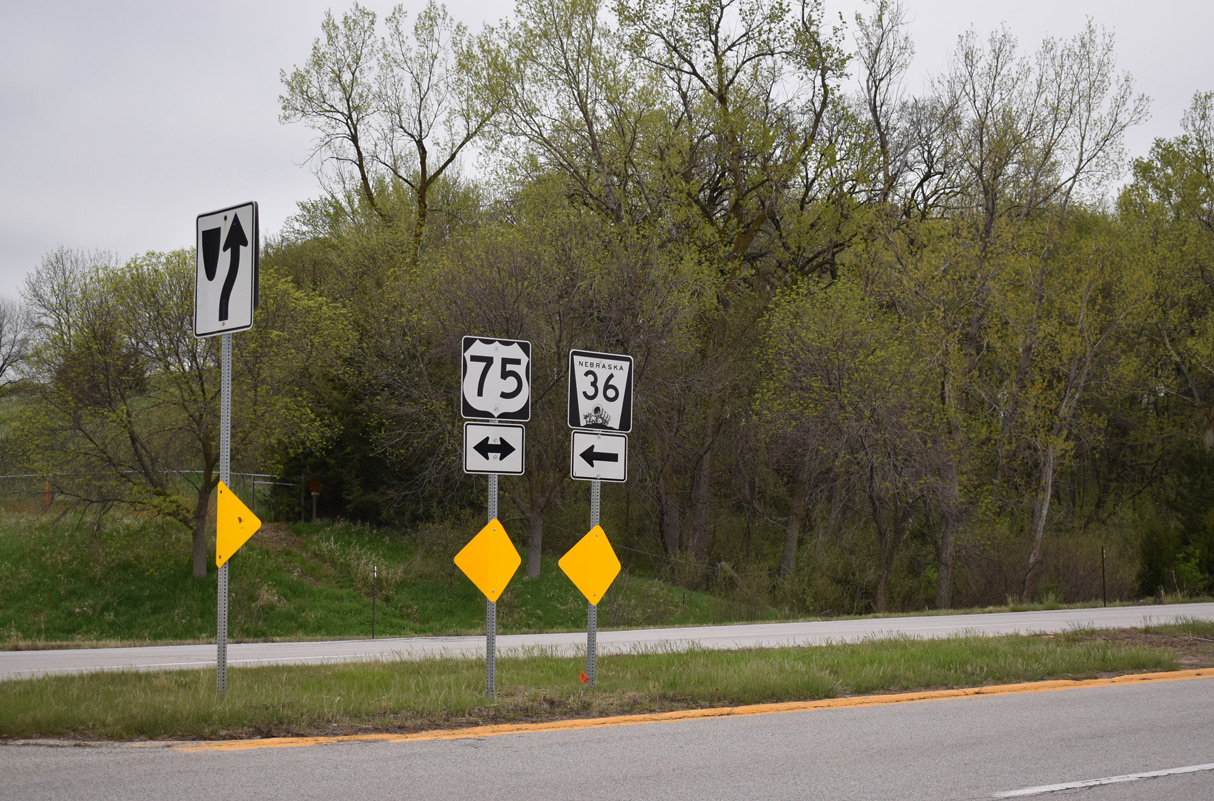
N-36 begins just south of Exit 12 along McKinley Street west. The state highway runs west to Bennington and U.S. 275 near Fremont.
05/08/22
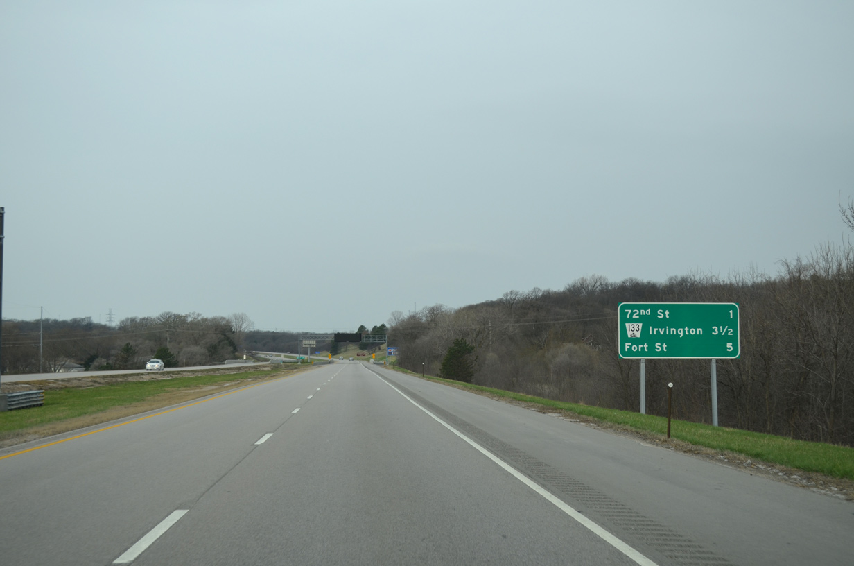
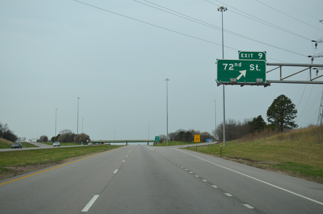
I-680 starts to curve southward ahead of 72nd Street (Exit 9).
03/30/16
03/30/16
03/30/16
03/30/16
03/30/16
06/17/15
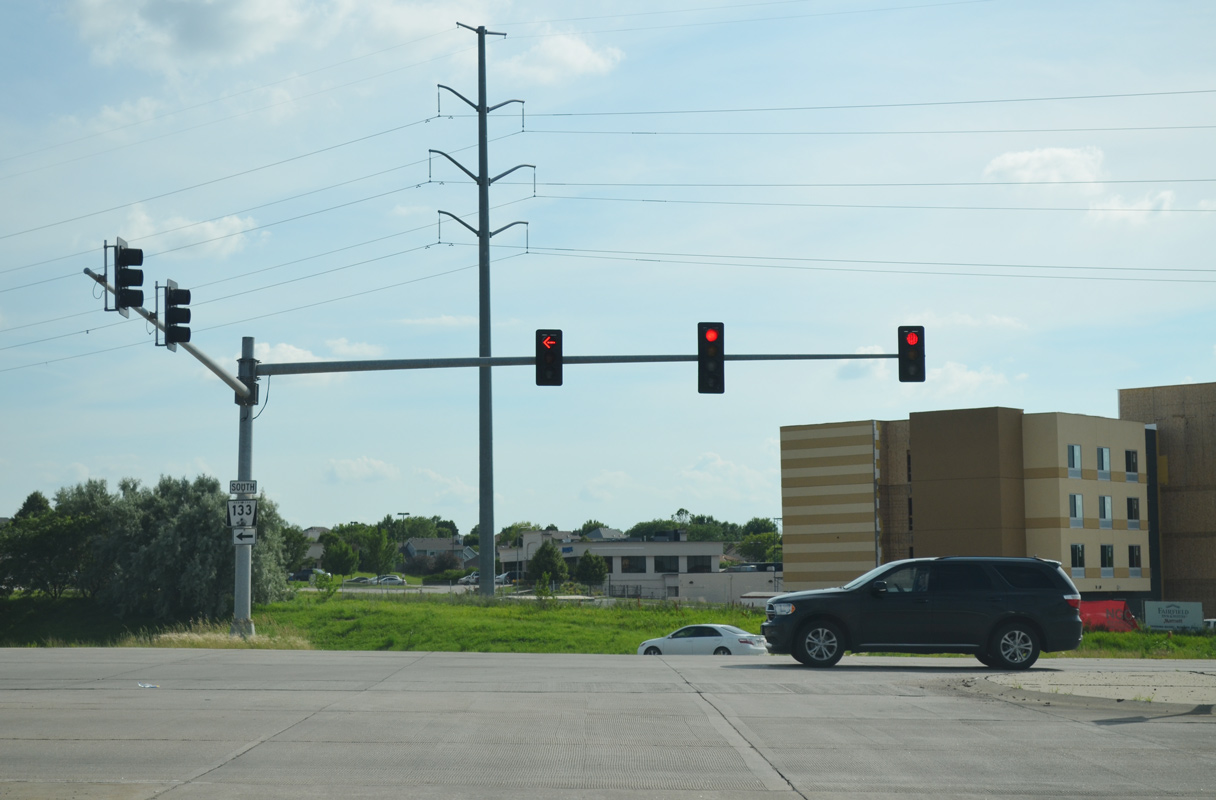
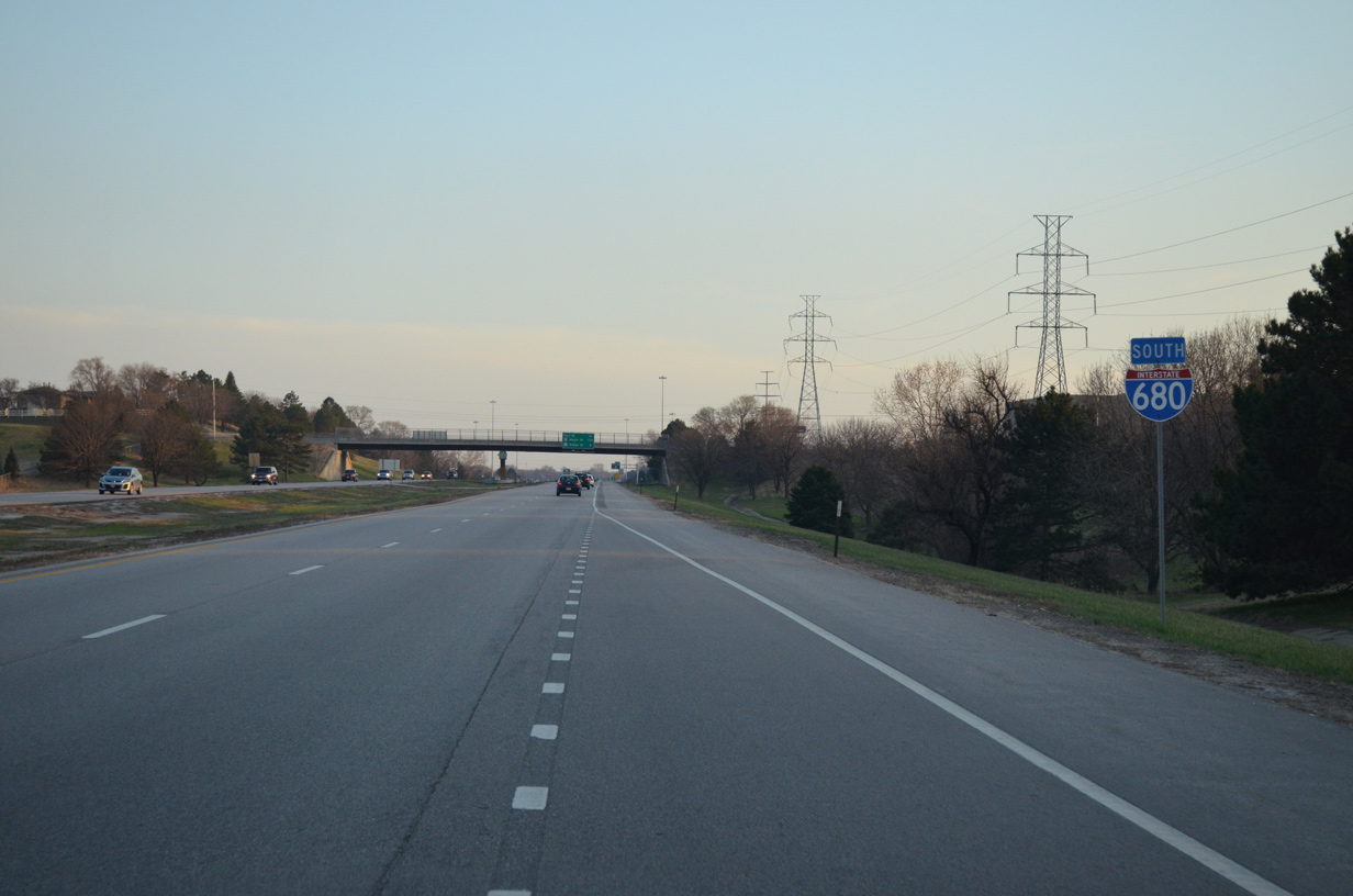
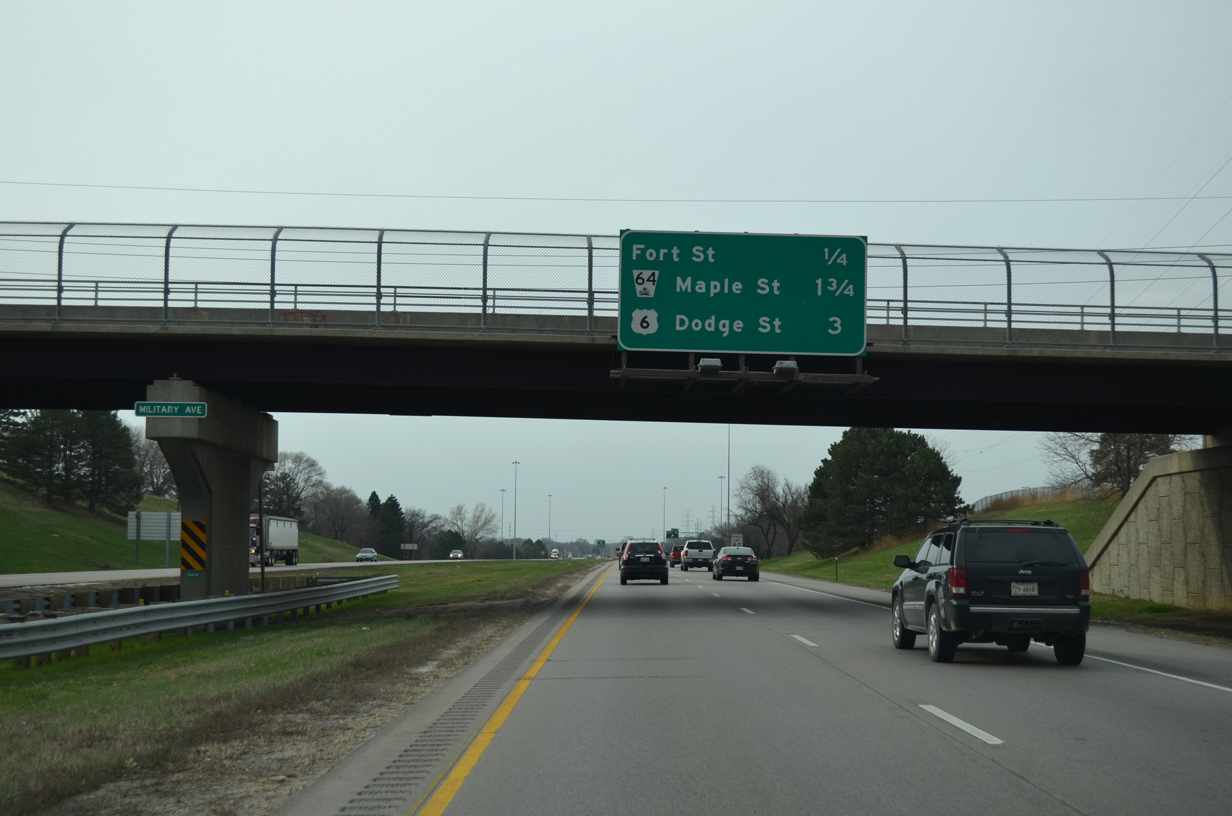
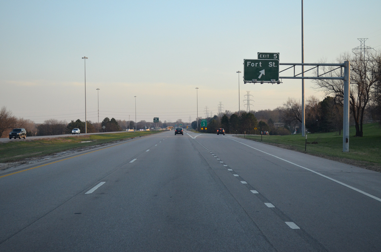
South
03/30/16
03/28/16
03/30/16
03/28/16
03/30/16
03/30/16
03/30/16
03/30/16
03/30/16
06/18/15
03/30/16
06/18/15
03/30/16
03/29/16
03/29/16
05/08/22
05/08/22
05/08/22
05/08/22
05/08/22
05/08/22
05/08/22
05/08/22
05/08/22
03/29/16
05/08/22
05/08/22
06/18/15
03/29/16
03/29/16
Sources:
- Mormon Pioneer Memorial Bridge. John A. Weeks III.
Photo Credits:
06/17/15, 06/18/15, 03/28/16, 03/29/16, 03/30/16, 05/08/22 by AARoads
Connect with:
Interstate 80
U.S. 6
U.S. 75
Page Updated 02-26-2024.