
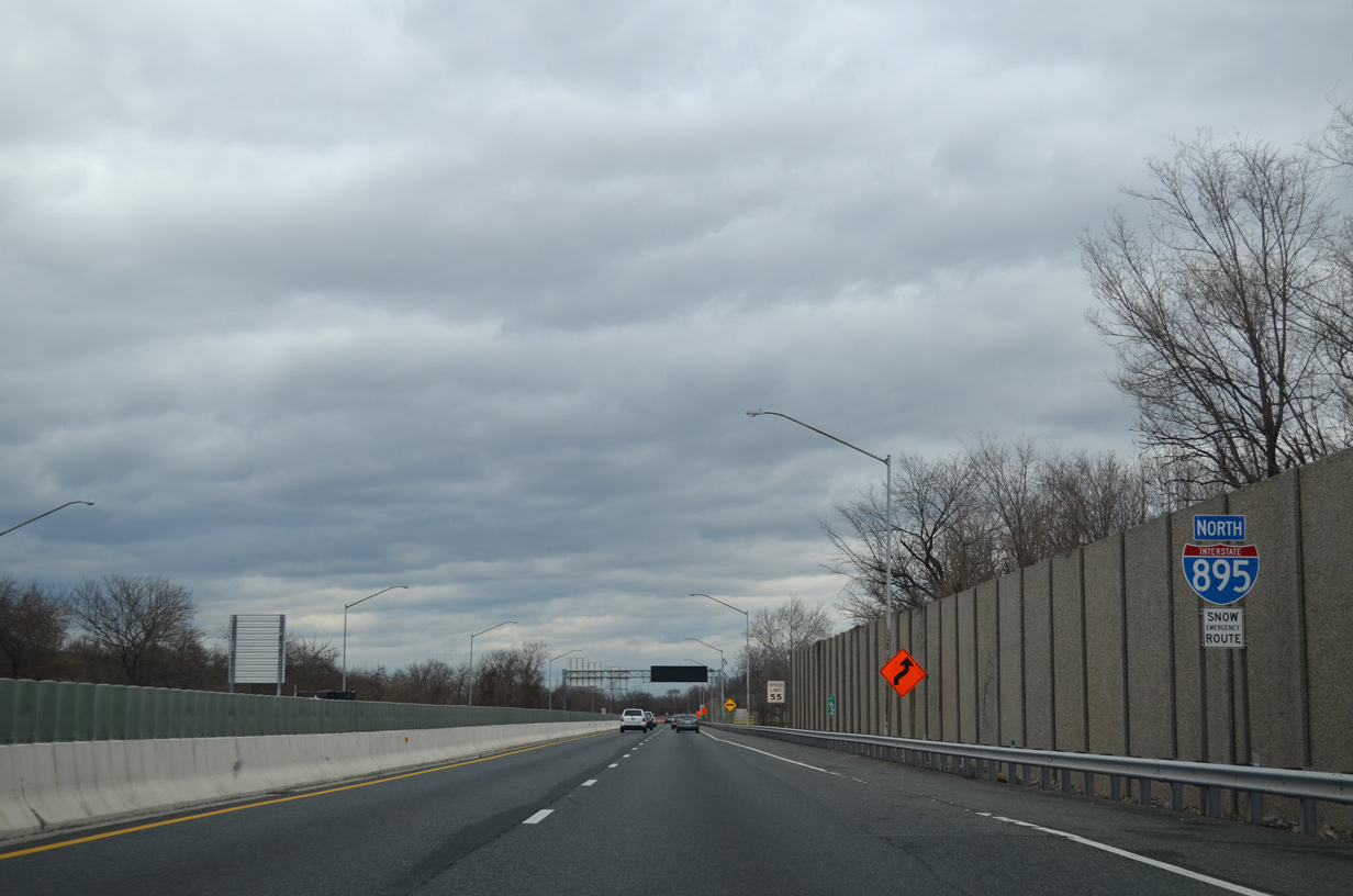
 North
North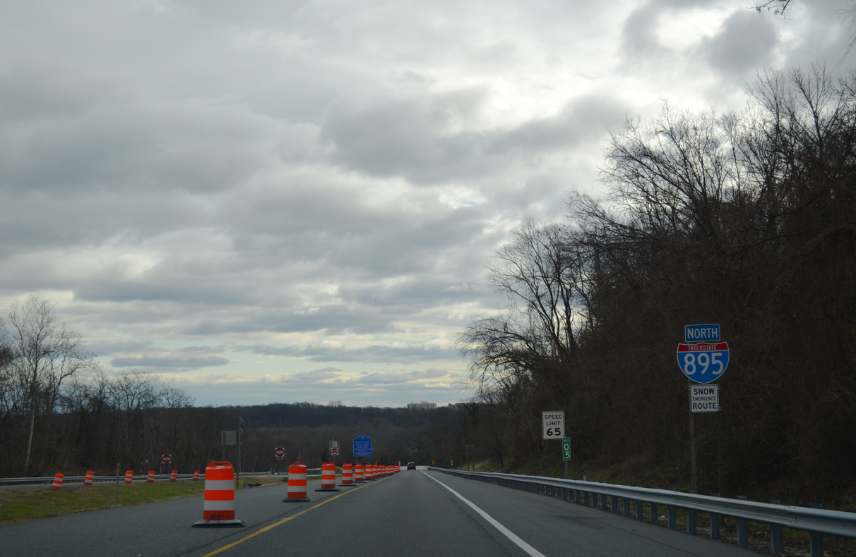
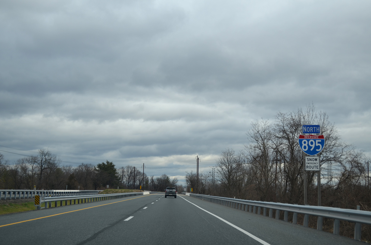
The first confirming marker for Interstate 895 north.
12/21/12
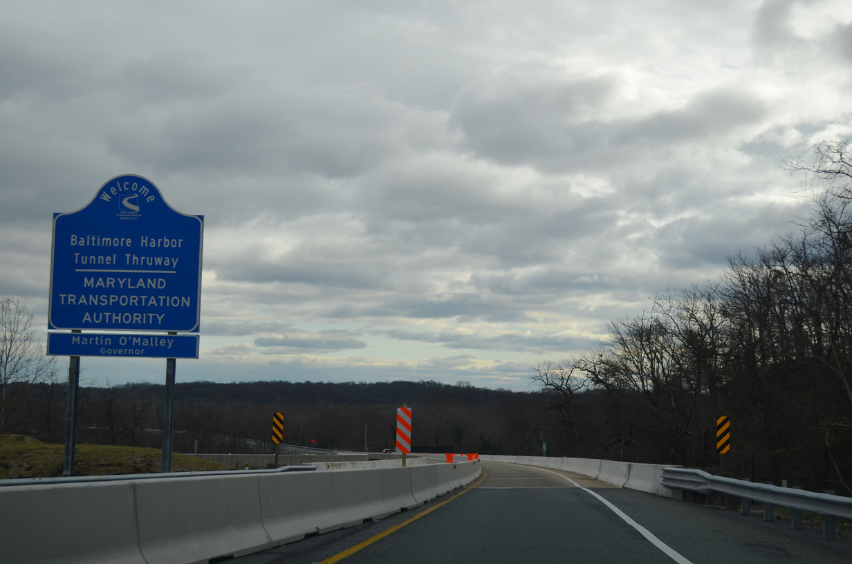
The Baltimore Harbor Tunnel Thruway is maintained by the Maryland Transportation Authority (MTA).
12/21/12
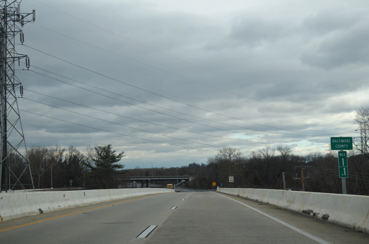
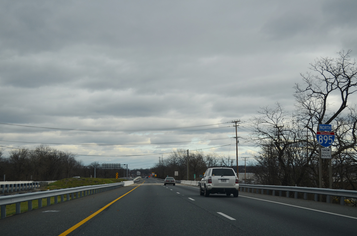
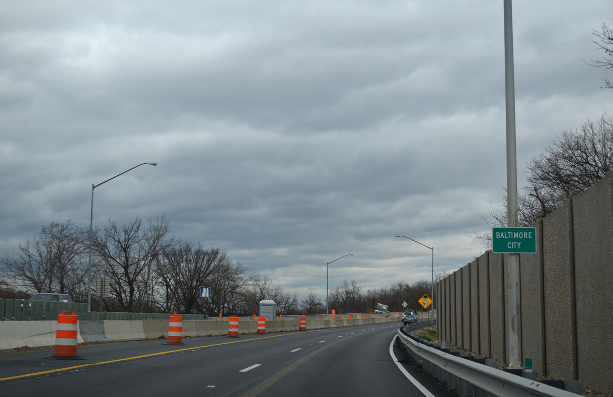
I-895 crosses into Baltimore County within the wye interchange bringing traffic onto the toll road northbound from U.S. 1 (Washington Boulevard).
12/21/12
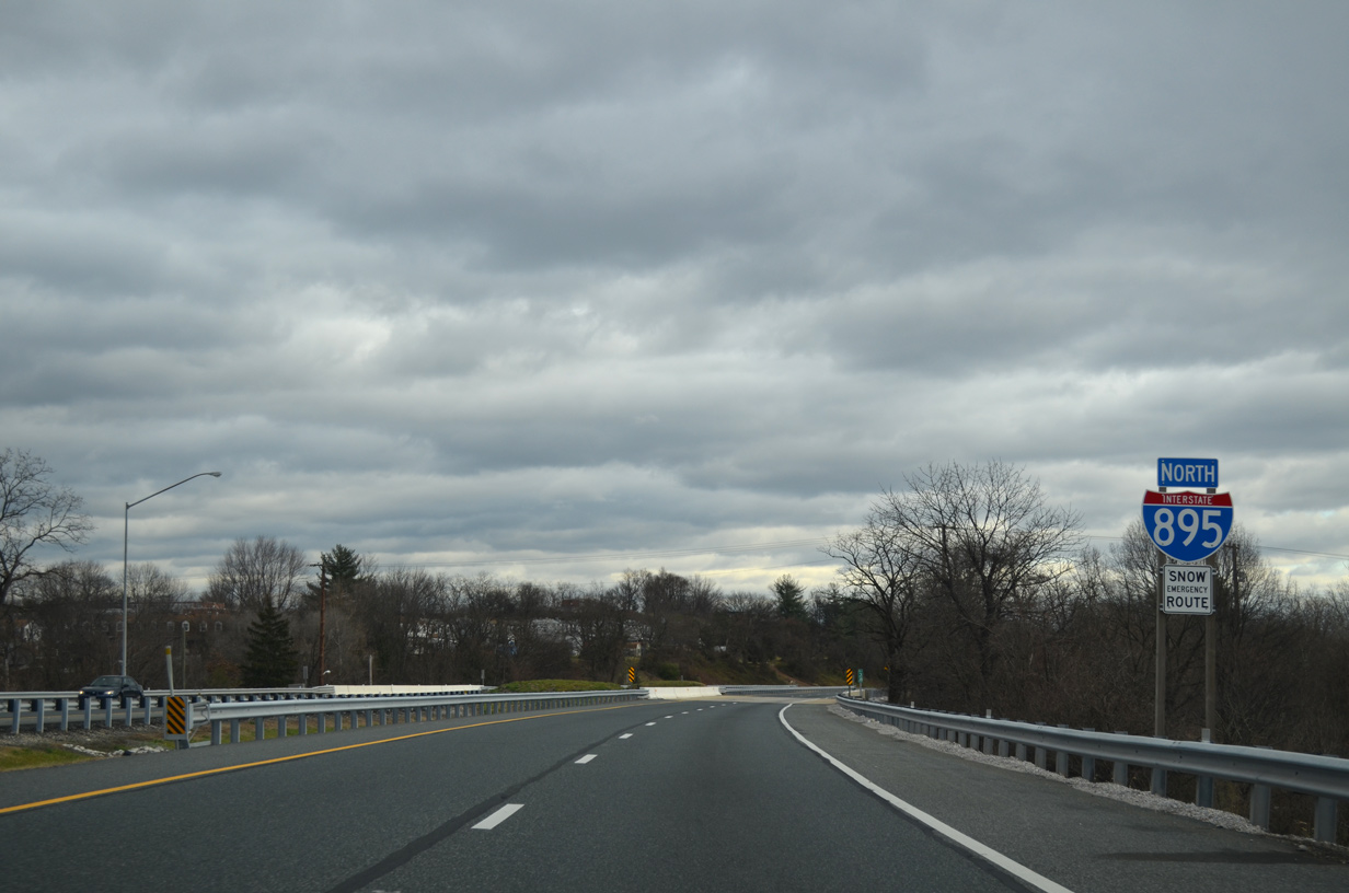
Confirming marker posted east of the Interstate 195 overpasses.
12/21/12
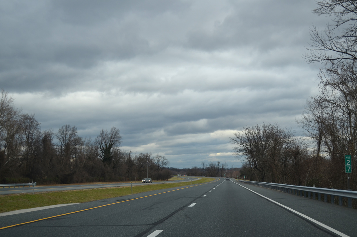
Interstate 895 parallels the Patapsco River.
12/21/12
A loop ramp connects I-695 (Baltimore Beltway) south with I-895 north ahead of this confirming shield posted at the Hammonds Ferry Road underpass.
12/21/12
The succeeding entrance ramp ties into I-895 from MD 295 (Baltimore Washington Parkway) northbound. This shield follows at the Annapolis Road (MD 648) underpass.
12/21/12
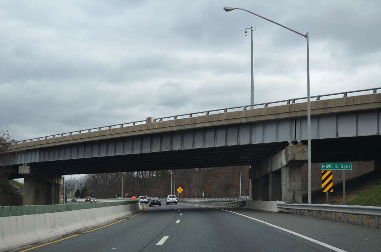
I-895 crosses the Patapsco River ahead of the wye interchange with the north end of I-895 B Spur.
12/21/12
12/21/12
12/21/12
12/21/12
12/21/12
12/21/12
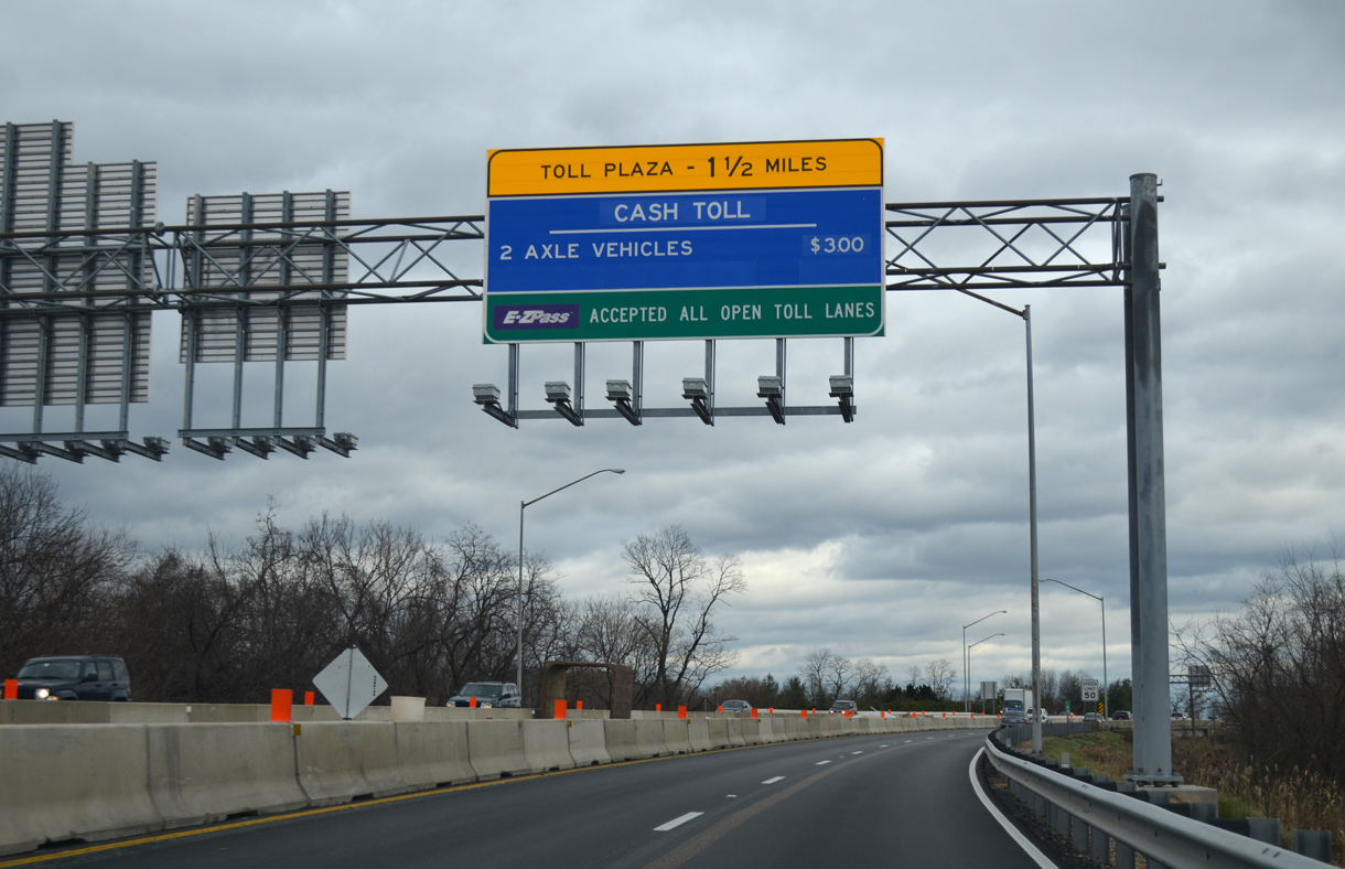
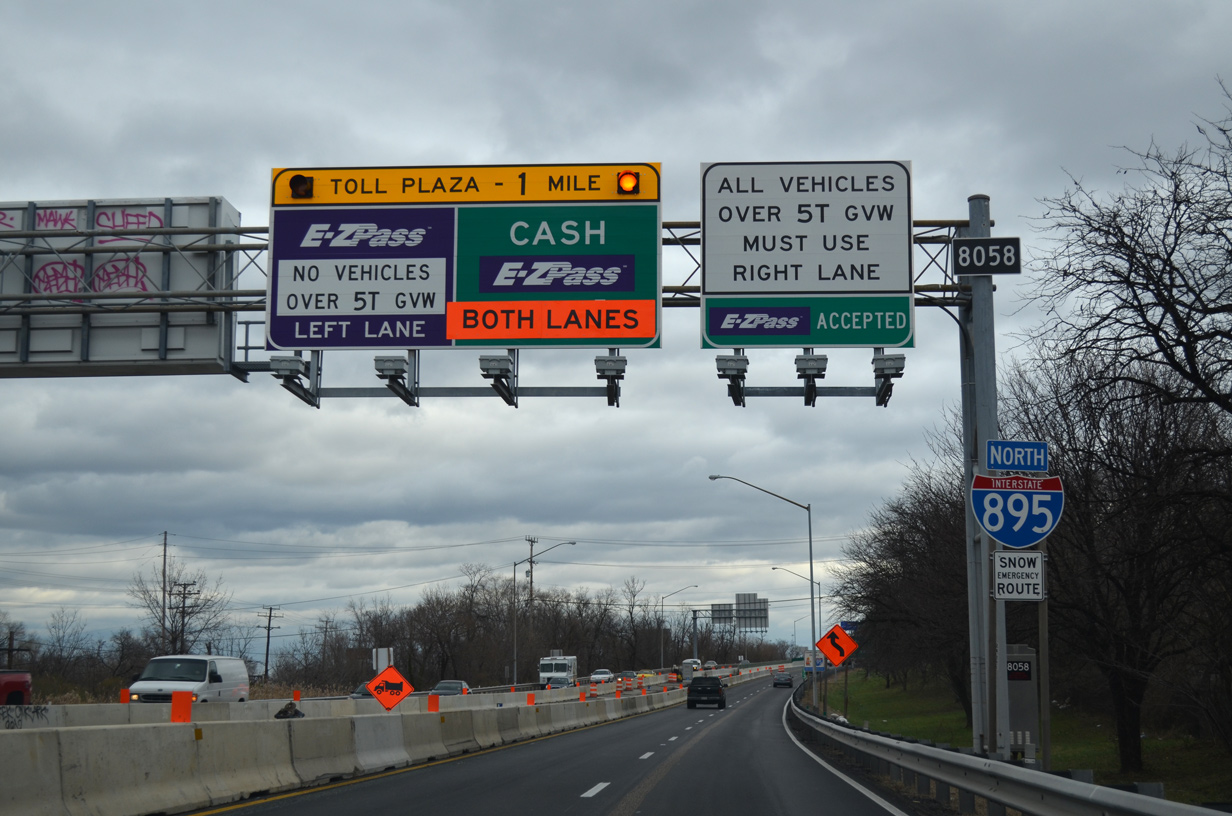
The first departure point from I-895 northbound follows the Baltimore Harbor Tunnel Thruway toll plaza at the Fairfield Industrial Area.
12/21/12
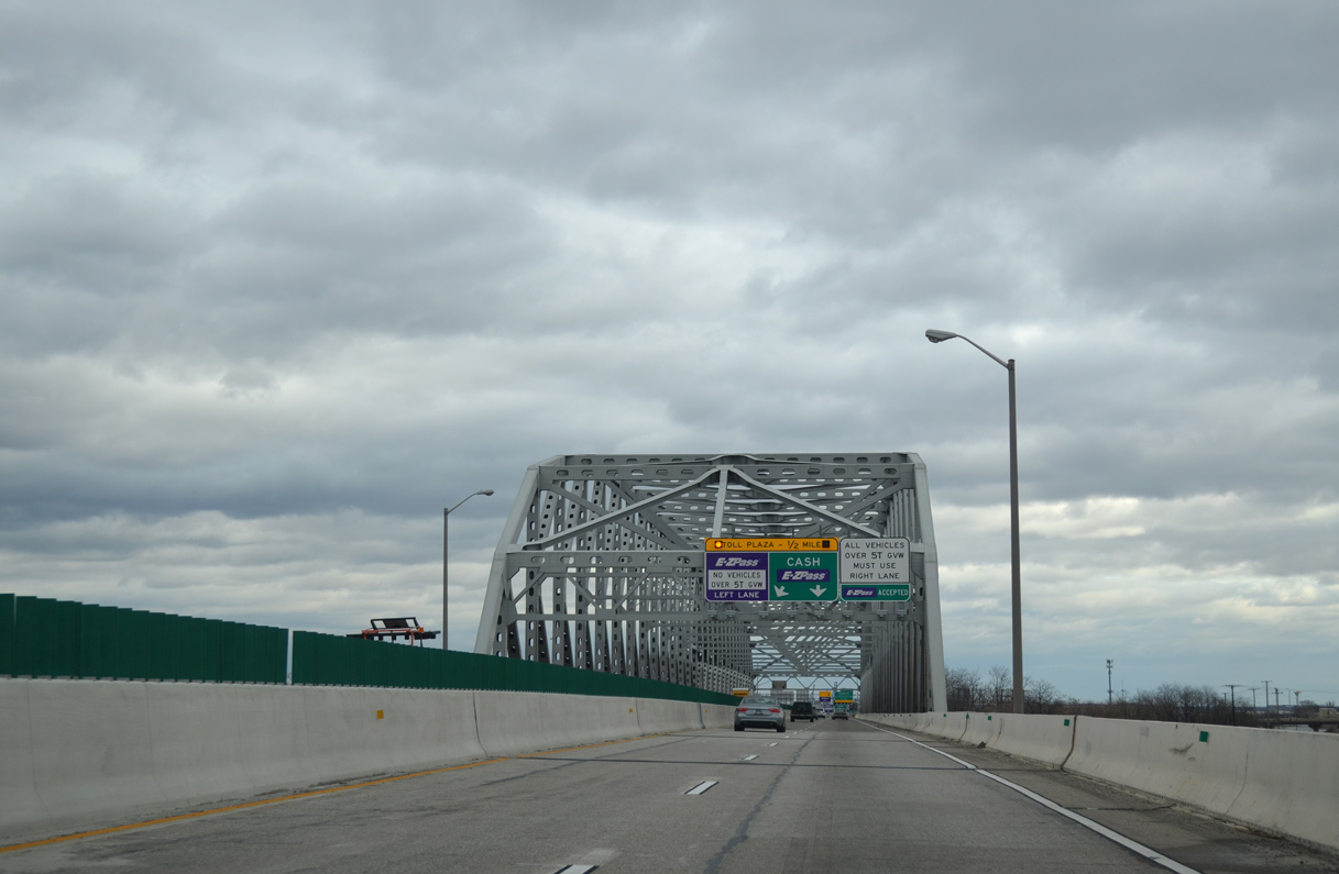
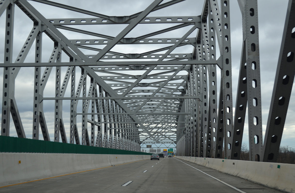
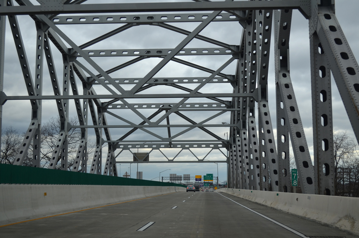
Interstate 895 spans a CSX Railroad yard across the K-Truss Bridge ahead of the main line toll plaza.
12/21/12
When it opened in 1957, passenger vehicles crossing the Baltimore Harbor Tunnel were charged 40 cents. Tolls eventually increased to $1.00, then $2.00 in June 2004.
12/21/12
When it opened in 1957, passenger vehicles crossing the Baltimore Harbor Tunnel were charged 40 cents. Tolls eventually increased to $1.00, then $2.00 in June 2004.
12/21/12
12/21/12
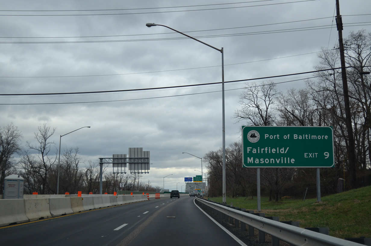
An entrance ramp merges onto I-895 northbound from Frankfurst Avenue and Shell Road leading into the Baltimore Harbor Tunnel Thruway toll plaza. Frankfurst Avenue parallels I-895 east from MD 2 (Hanover / Potee Streets) to Fairfield and Port of Baltimore facilities.
12/21/12
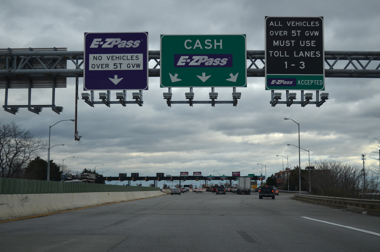
Toll rates for the Baltimore Harbor Tunnel increased to $3.00 per passenger vehicle on November 1, 2011 and again to $4.00 on July 1, 2013.
12/21/12
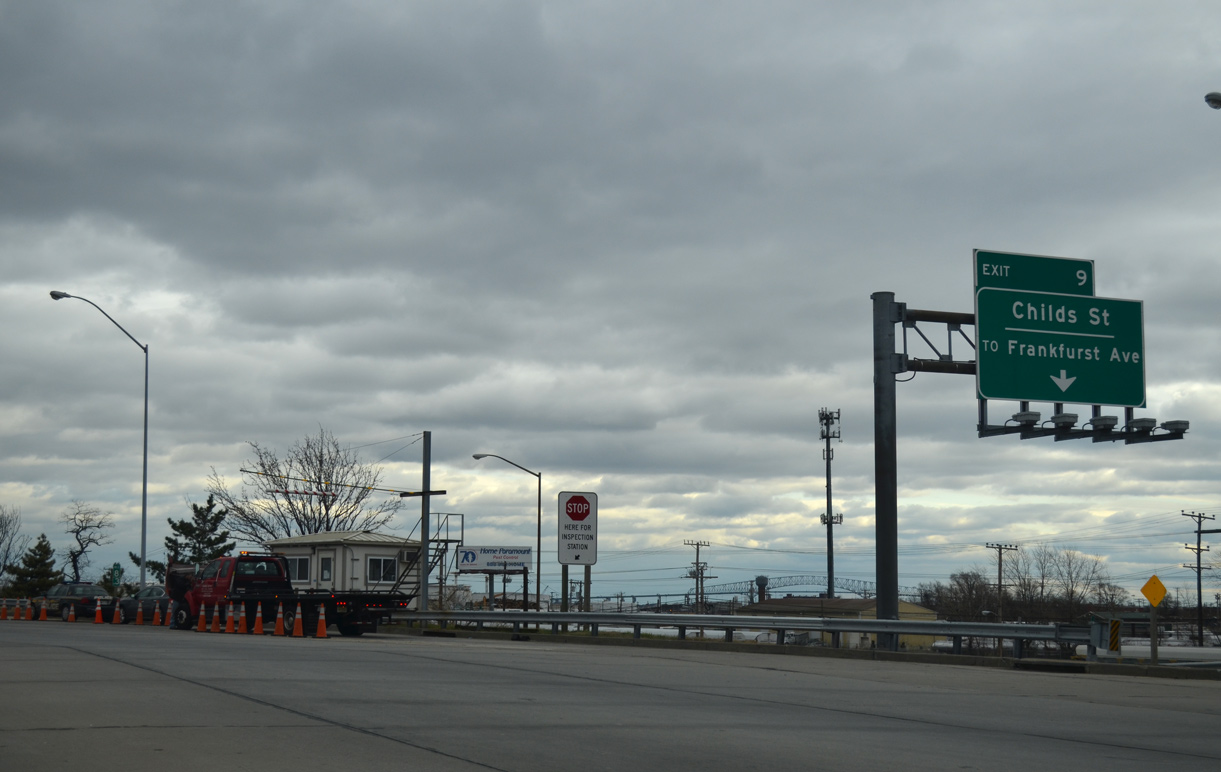
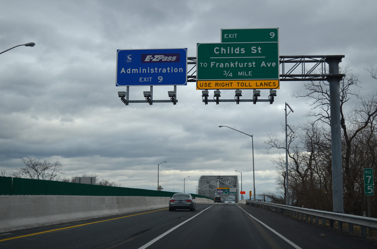
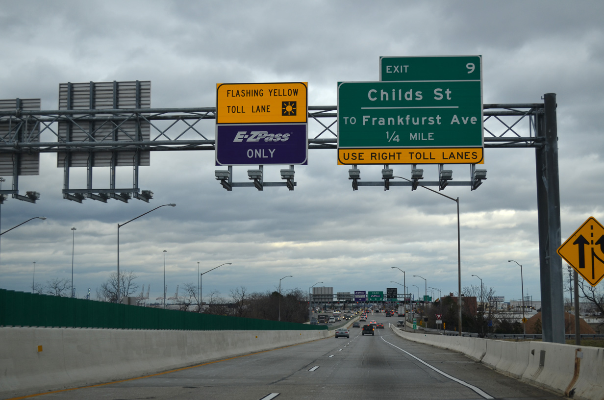
Exiting the toll plaza, Exit 9 departs for Childs Street and Frankfurst Avenue. A truck check station follows for the Baltimore Harbor Tunnel.
12/21/12
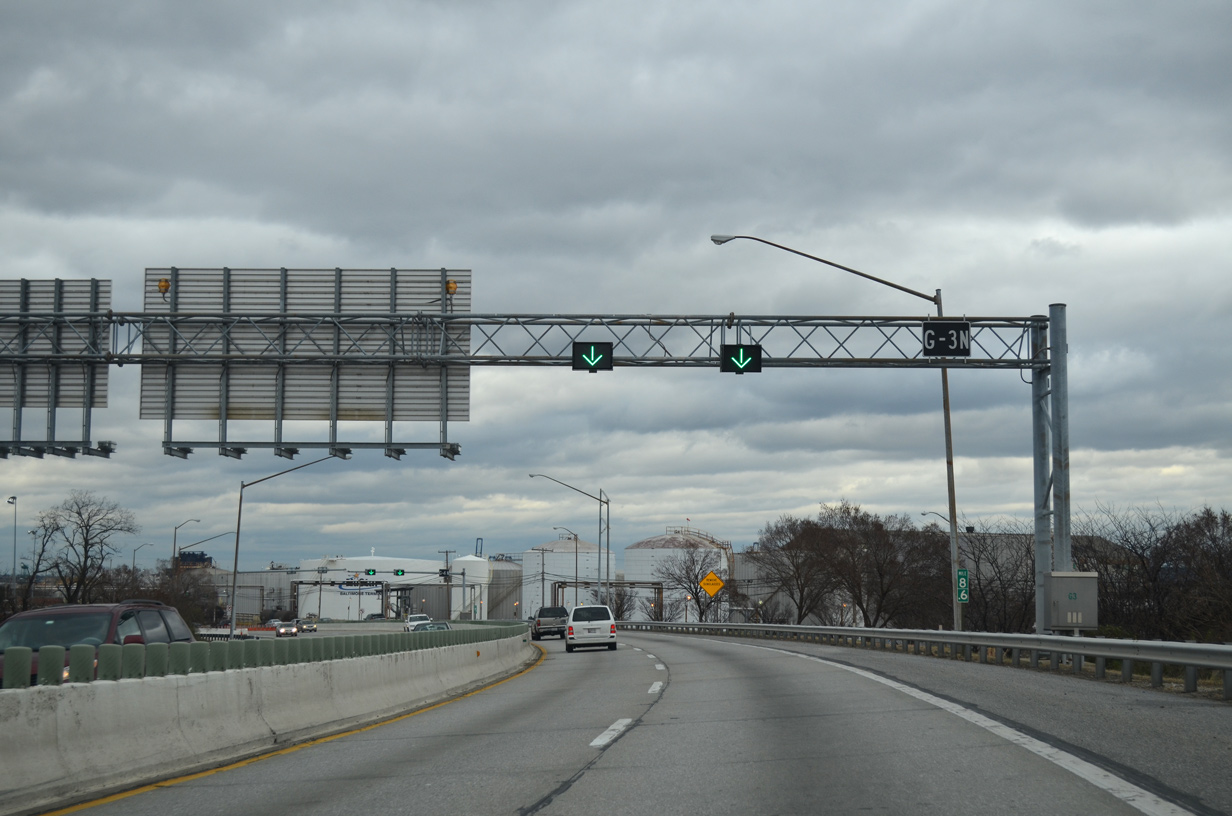
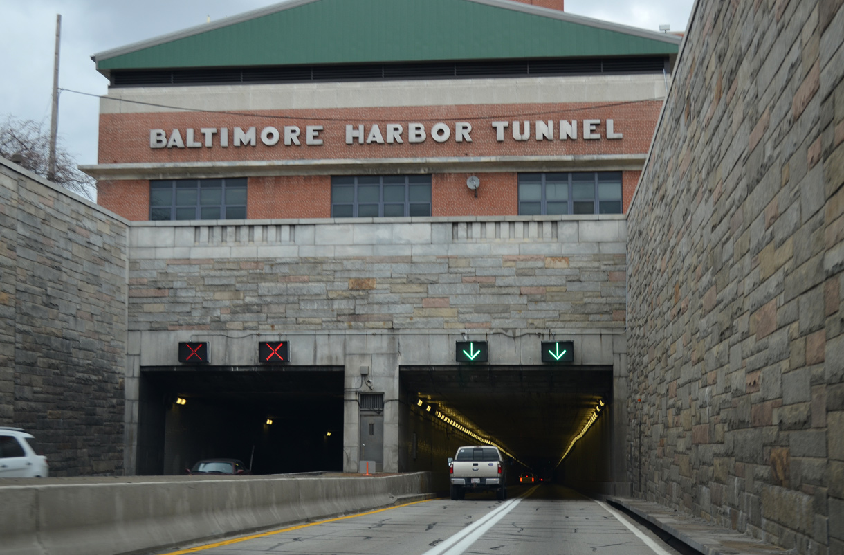
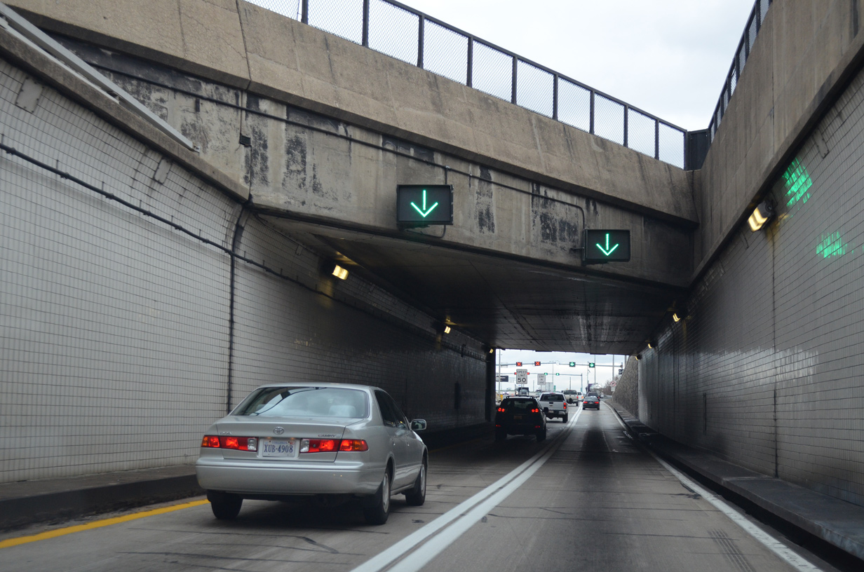
Lane markers indicate which tunnel lanes are open to northbound traffic.
12/21/12
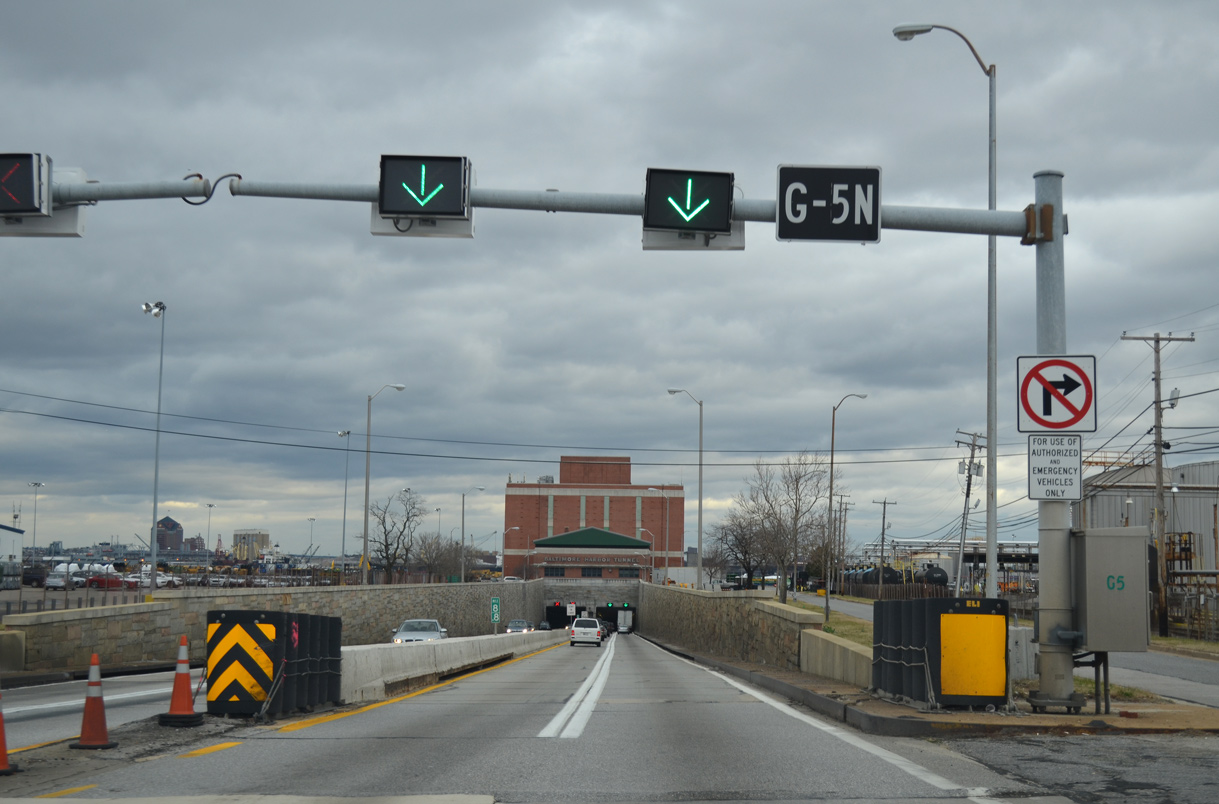
Lowering into the Baltimore Harbor Tunnel. The speed limit is 50 miles per hour through the twin tubes.
12/21/12
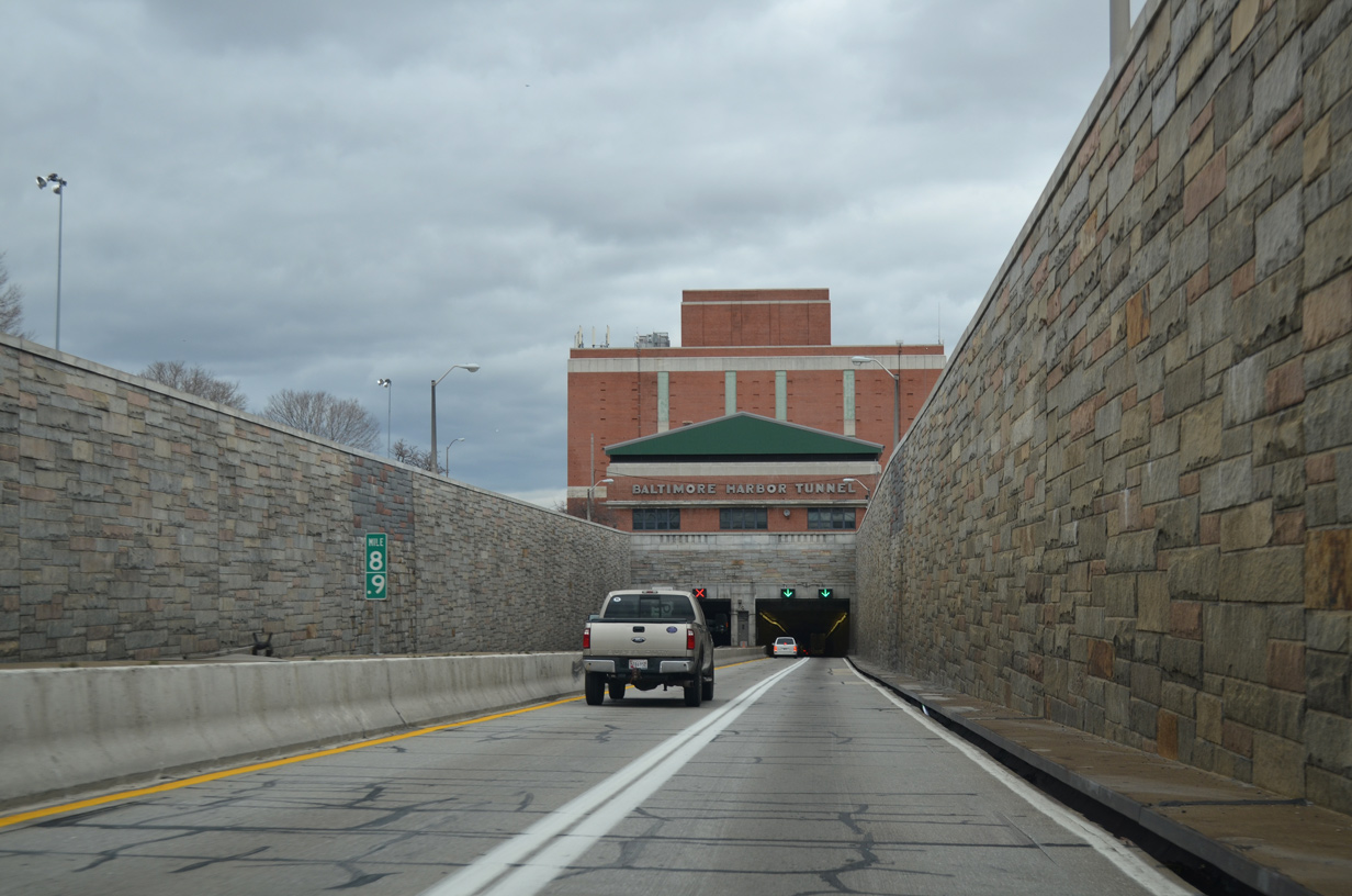
Constructed in 1955-1957, the Baltimore Harbor Tunnel opened on November 29, 1957.
12/21/12
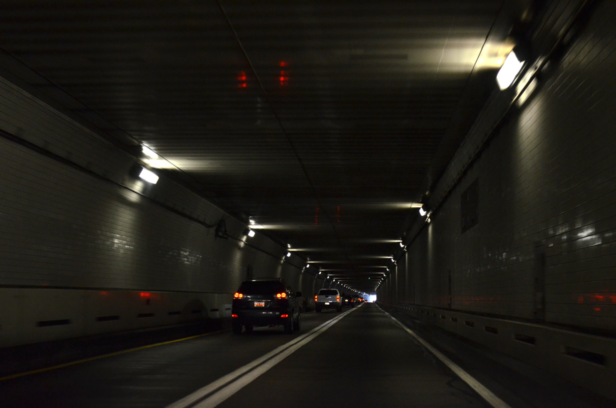
The Baltimore Harbor Tunnel crosses the Patapsco River at a maximum depth of 101 feet.
12/21/12
12/21/12
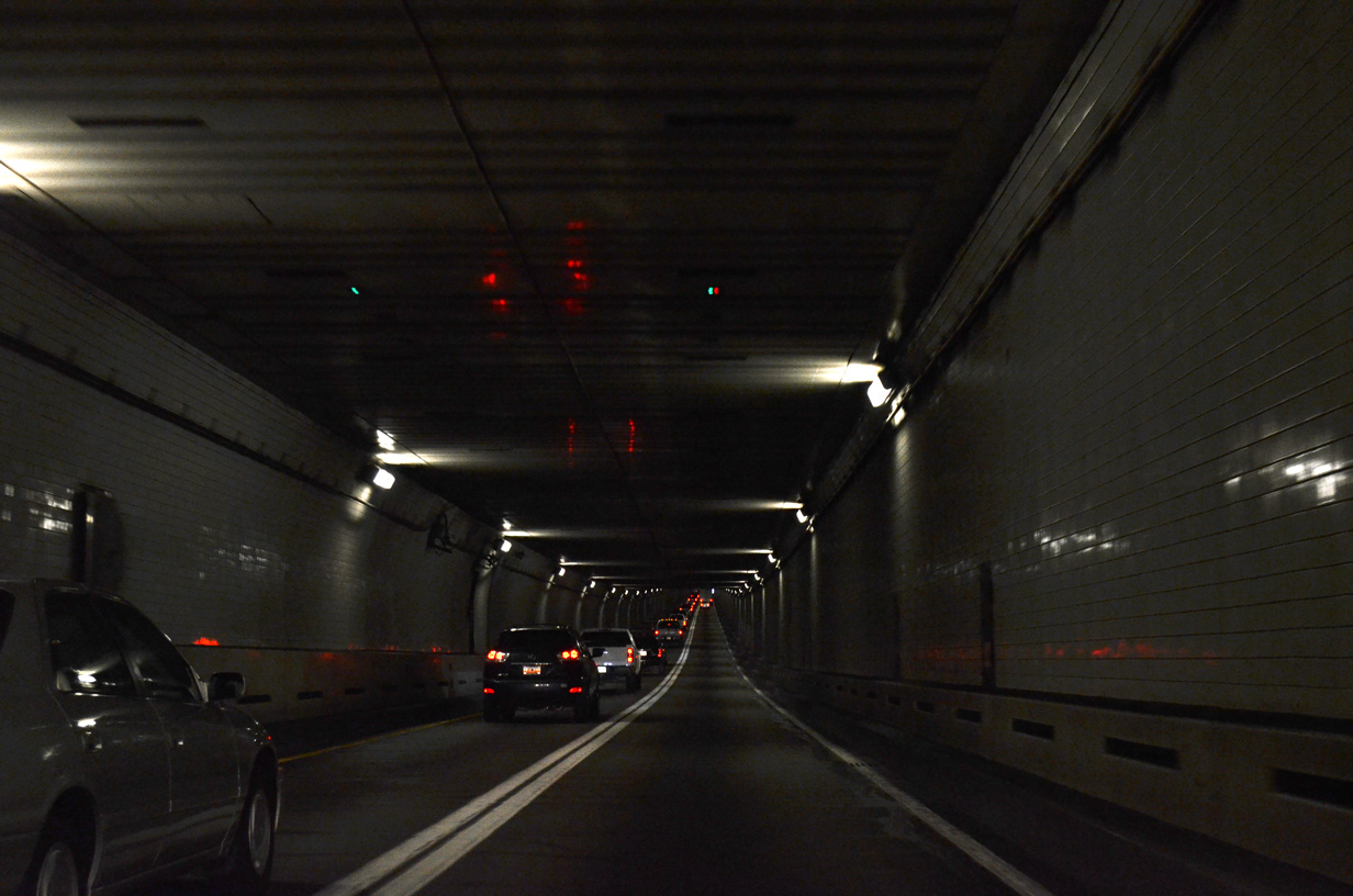
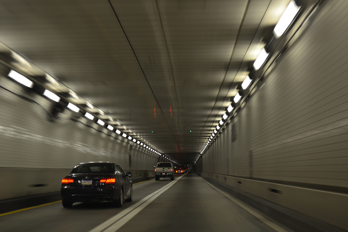
Lane changes are prohibited through the Baltimore Harbor Tunnel.
12/21/12
12/21/12
Northbound I-895 emerges from the Baltimore Harbor Tunnel beyond Keith Avenue.
12/21/12
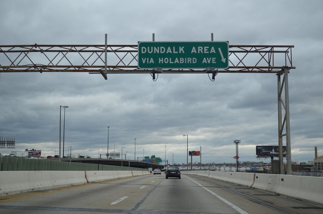
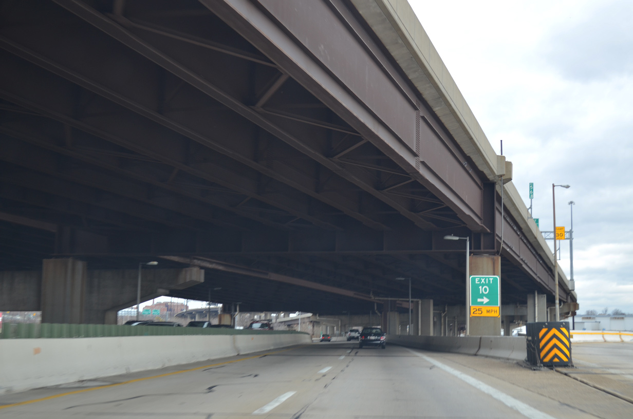
Interstate 895 rises onto the Canton Viaduct to Exit 10 for Holabird Avenue and the Canton Industrial Area. $189 million in construction through Summer 2021 replaces this 60 year old bridge system.
12/21/12
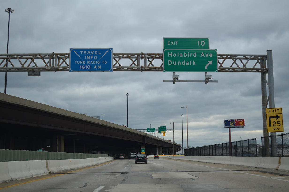
Exit 10 drops from the Canton Viaduct onto Holabird Avenue east to Broening Highway and Dundalk Avenue. Broening Highway spurs south to the Seagirt Marine Terminal.
12/21/12
Interstate 95 angles northeast from the Fort McHenry Tunnel above I-895 at Ponca Street.
12/21/12
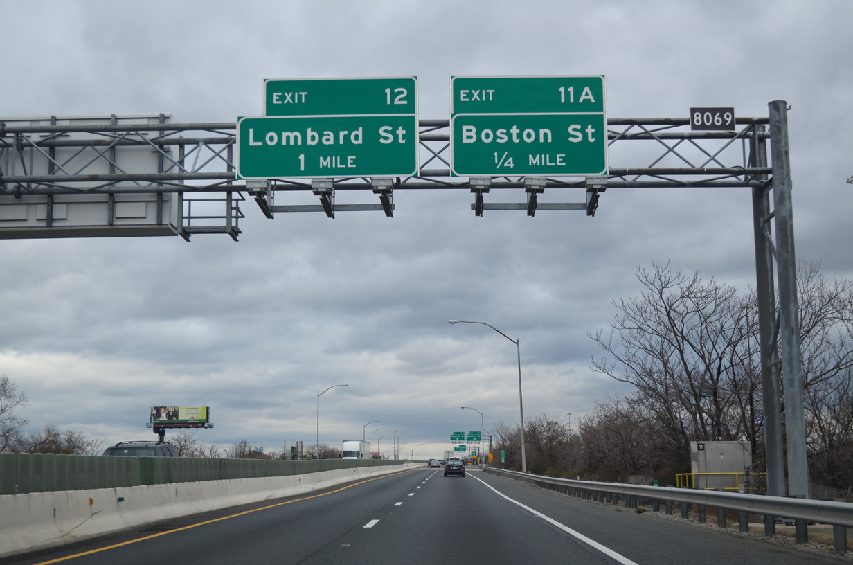
Turning northward, Interstate 895 advances to Exit 11A for O'Donnell Street Cutoff east to Boston Street at Medford.
12/21/12
O'Donnell Street Cutoff intersects Interstate Avenue near an array of traveler services adjacent to I-95. Boston Street leads west to Canton. Boston Street was part of the proposed corridor leading Interstate 83 east from Fells Point.
12/21/12

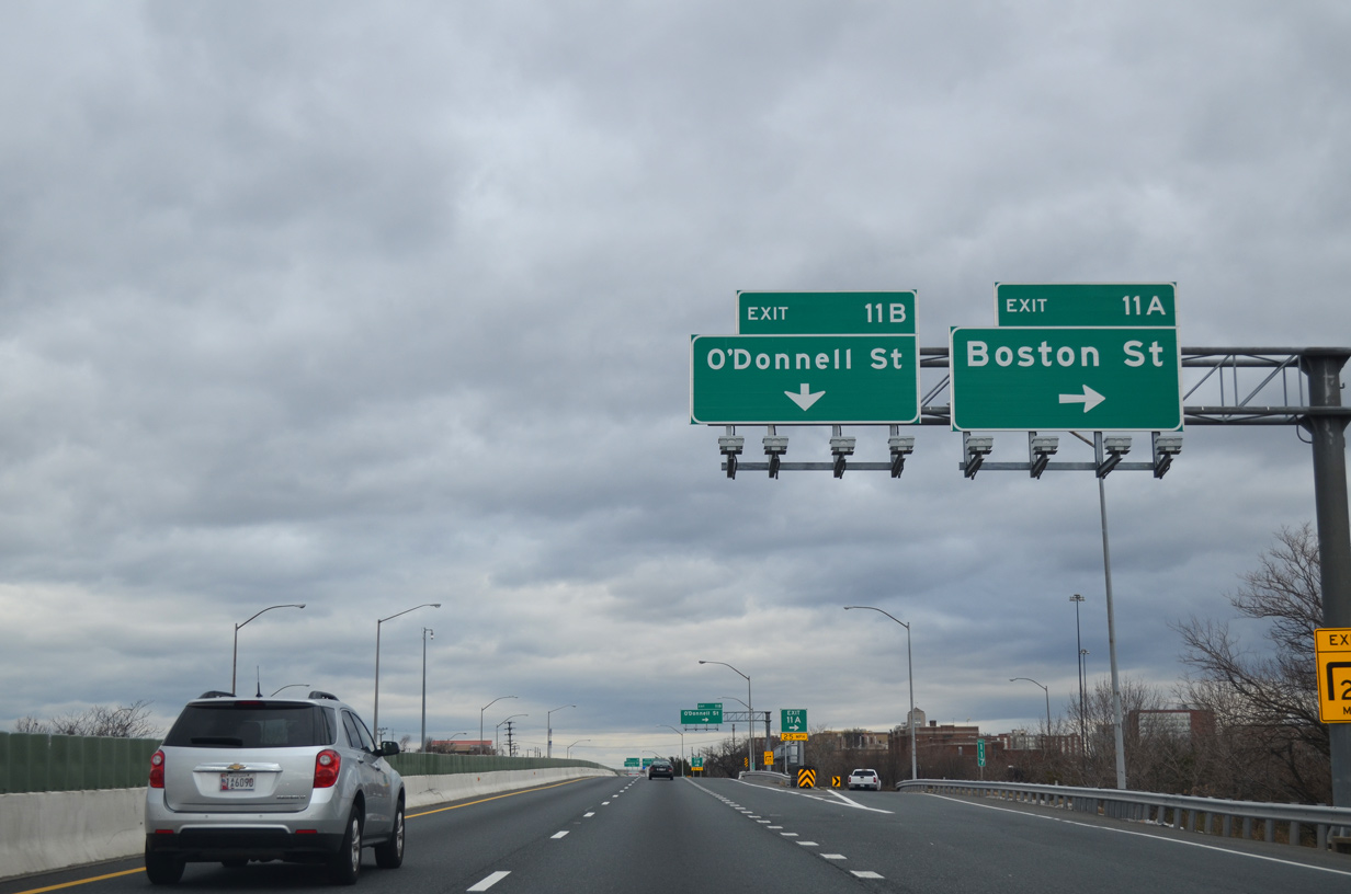
Exit 11B combines with a loop ramp (Exit 57) from I-95 south ahead of Interstate Avenue at O'Donnell Street. O'Donnell Street heads west from Greektown to Brewers Hill and east to O'Donnell Heights and Graceland Park.
12/21/12
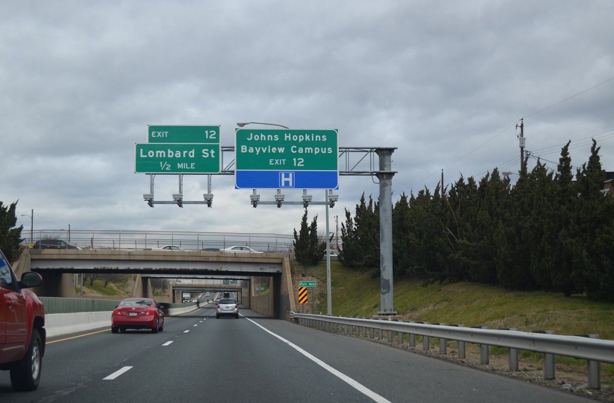
Interstate 895 lowers below the Baltimore street grid at Greektown ahead of Exit 12 for Lombard Street and John Hopkins Bayview Medical Center.
12/21/12
A parclo B2 interchange (Exit 12) joins I-895 (Baltimore Harbor Tunnel Thruway) with Lombard Street at Bayview Boulevard south. Bayview Boulevard provides access to MD 150. West of I-895, MD 150 is a vastly unsigned route along Ponca Street, Lombard Street, and Haven Street to U.S. 40. East of the city, the signed state route follows Eastern Avenue to Essex.
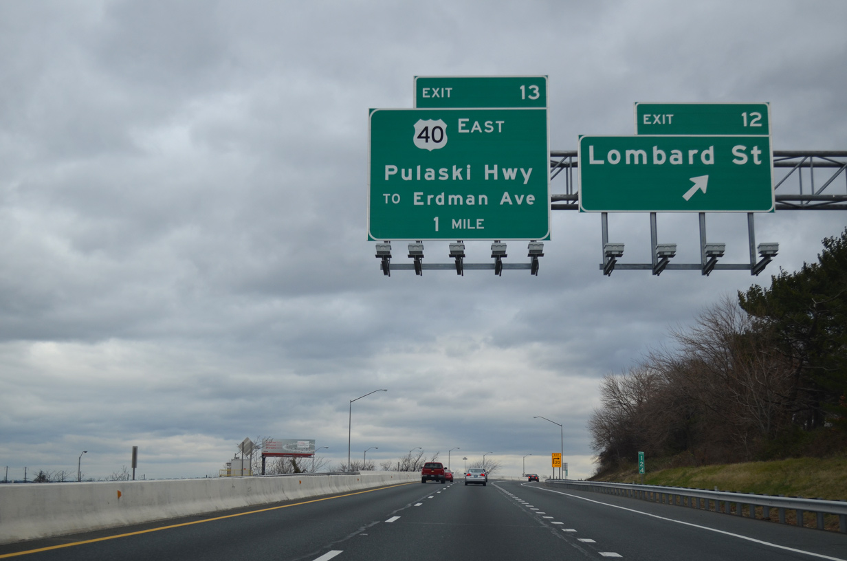
12/21/12
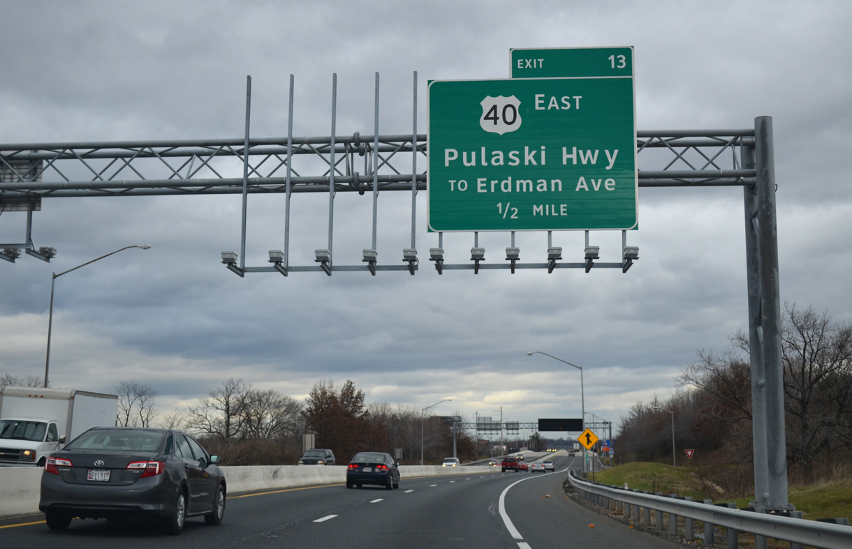
U.S. 40 follows Pulaski Highway east from the merge of Orleans and Fayette Streets to Interstate 895 at Exit 13 and the Pulaski Industrial Area.
12/21/12
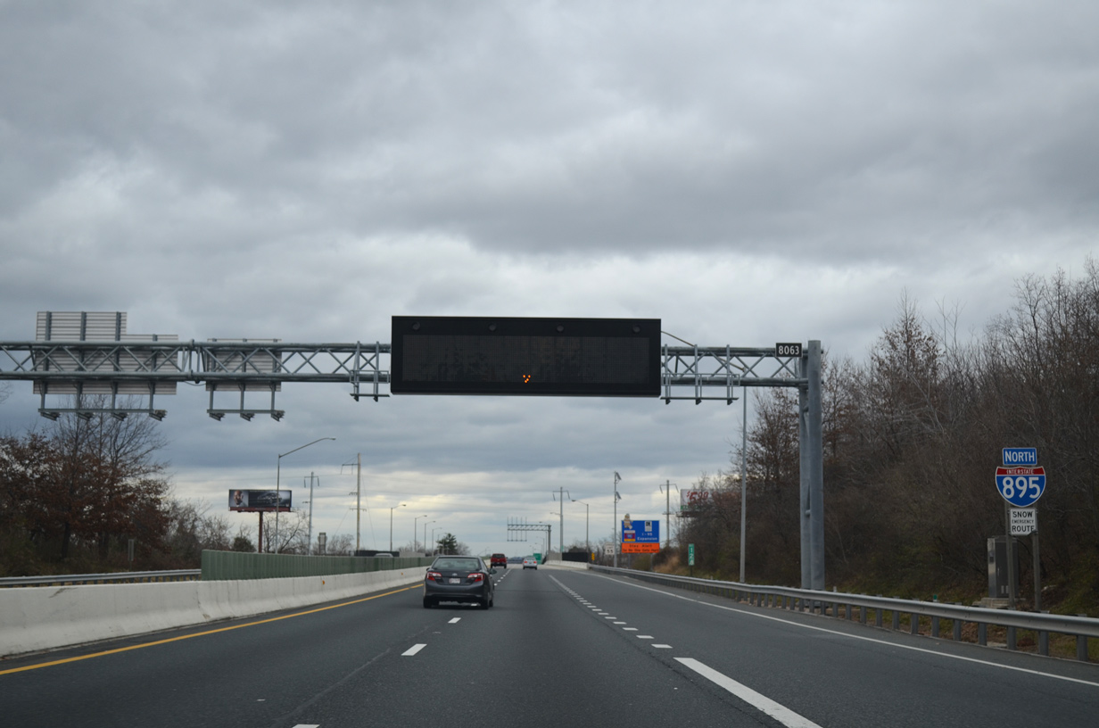
Reassurance shield posted for Interstate 895 north ahead of the viaduct over the Norfolk Southern Bayview Yard, AMTRAK and CSX Railroad lines.
12/21/12
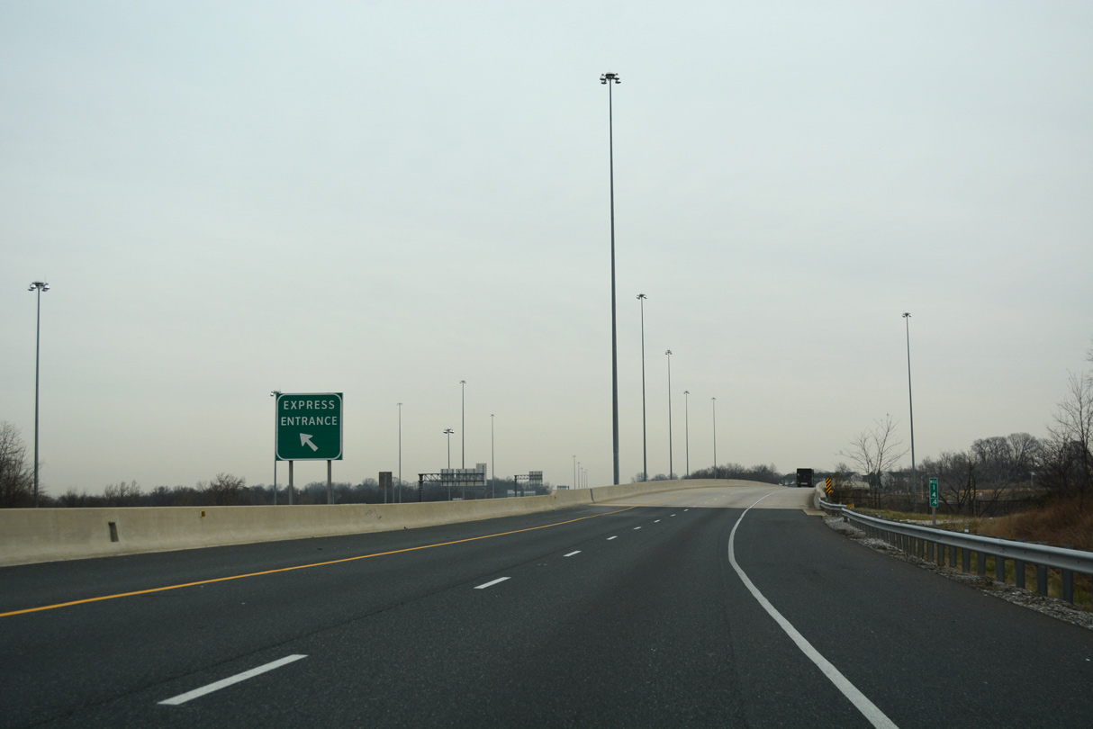
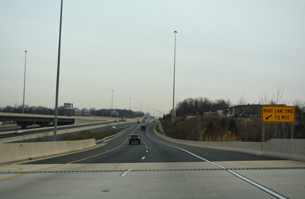
The Interstate 95 Express Toll Lanes (ETL) begin northbound from the end of I-895 in 0.75 miles.
06/25/10
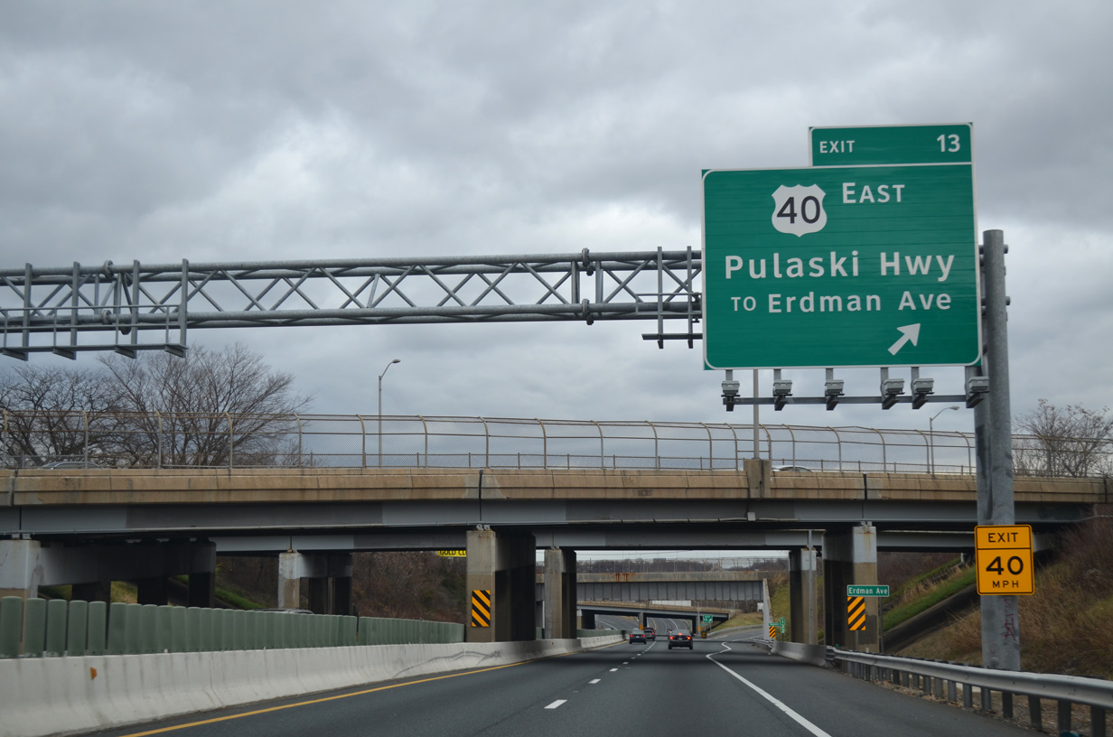
Exit 14 leaves I-895 north for U.S. 40 (Pulaski Highway) east to Rosedale in Baltimore County and Debelius Avenue south to MD 151 (Erdman Avenue).
12/21/12
I-895 crosses Herring Run at the entrance to the I-95 ETL. The managed lanes accompany I-95 north for eight miles, bypassing the ramps with Interstate 695.
12/21/12
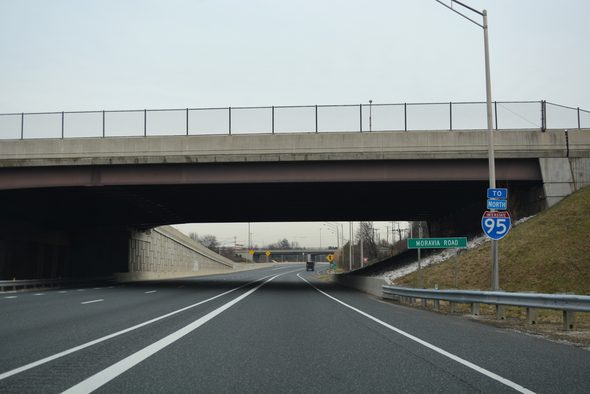
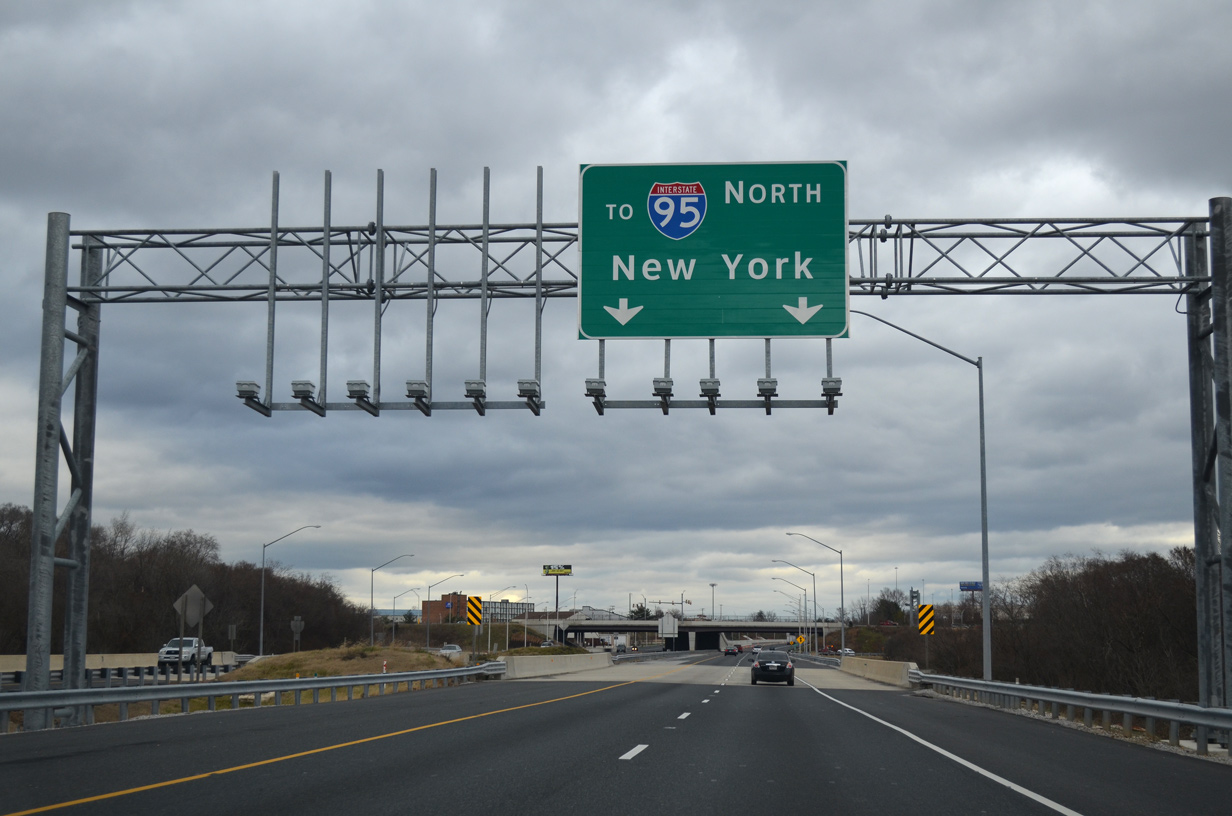
Entrance ramps join I-895 north from Moravia Road just ahead of the wye interchange with Interstate 95 (JFK Memorial Highway).
01/04/19
An on-ramp connects Moravia Road with the I-95 ETL northbound ahead of the Moravia Park Road overpass.
01/04/19
Construction of the I-95 ETL reconfigured the north end of I-895 so that the Baltimore Harbor Tunnel Thruway merges with the outside lanes of Interstate 95.
01/04/19
The John F. Kennedy Memorial Highway leads Interstate 95 northeast from Baltimore to Aberdeen, Havre de Grace and Elkton in northeastern Maryland.
01/04/19
Photo Credits:
06/25/10, 12/21/12, 01/04/19 by AARoads
Connect with:
Interstate 95
U.S. 40
Route 151
Page Updated 06-25-2020.