|
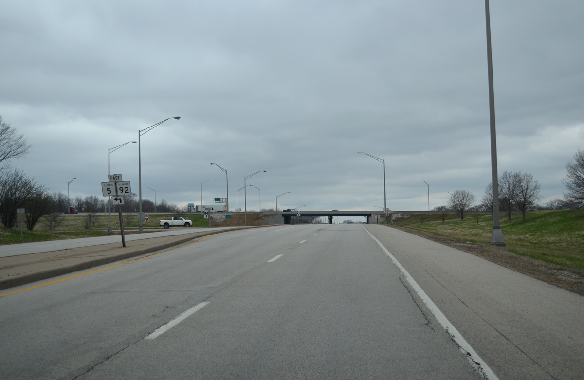
| IL 84 arcs northwest from Carbon Cliff to meet IL 5 and 92 east at a parclo interchange. 03/31/16 |
|
| A loop ramp follows for IL 5 & 92 east toward Babcock, Barstow and rural areas of East Moline. The eastern extent of IL 92 traverses rural areas from I-88 and the Quad Cities to Walnut, Ohio and U.S. 34 at La Moille. 03/31/16 |
|
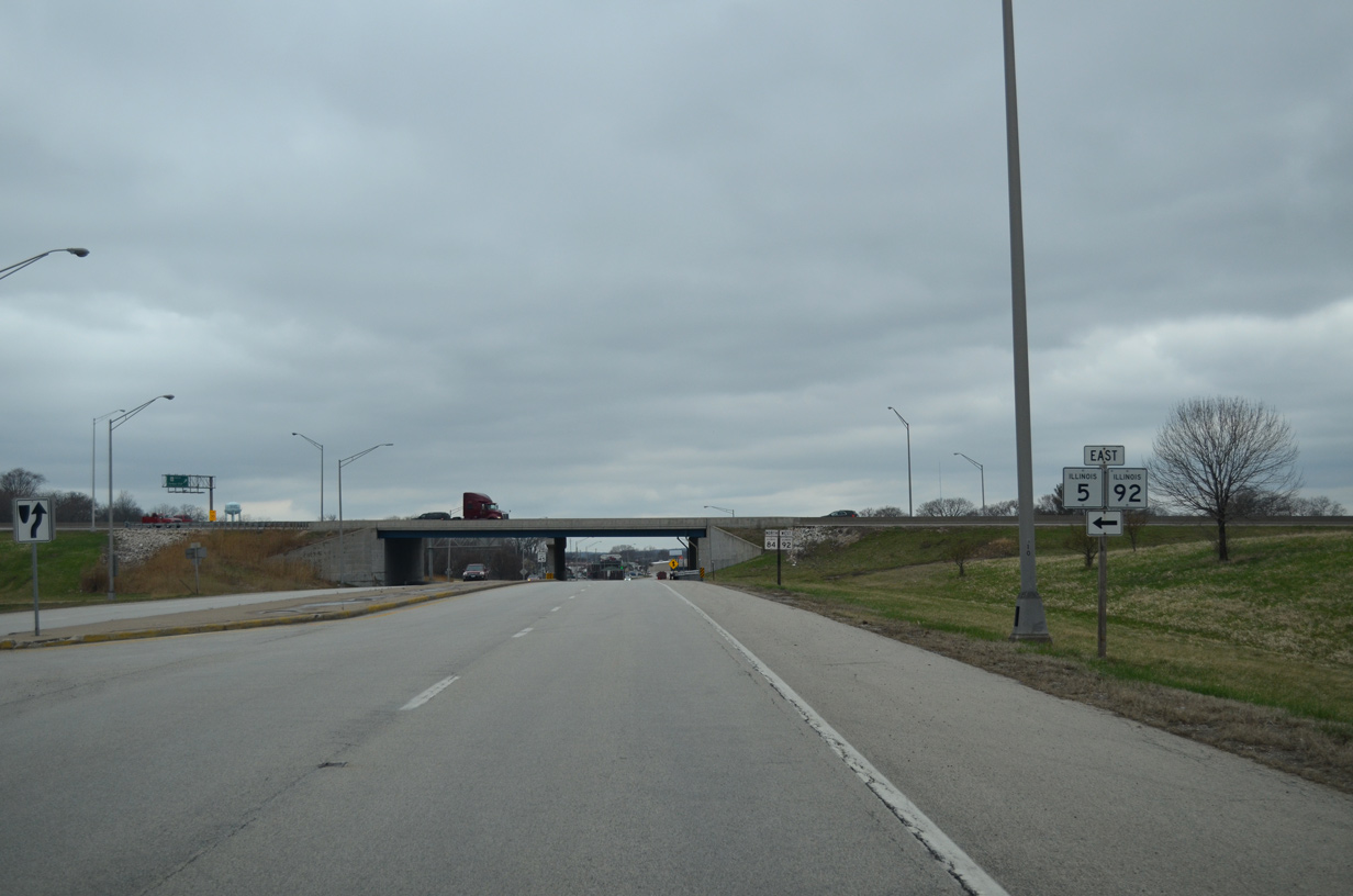
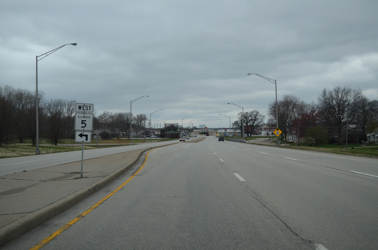
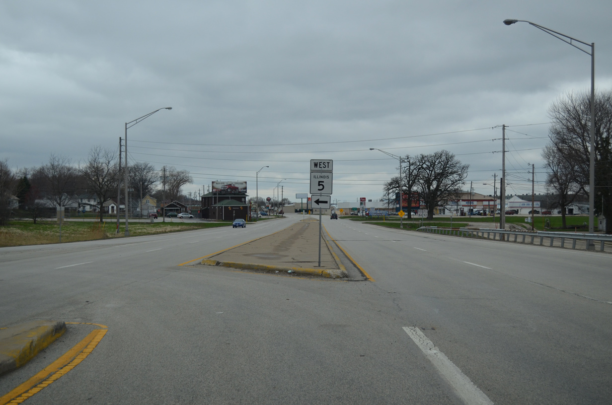
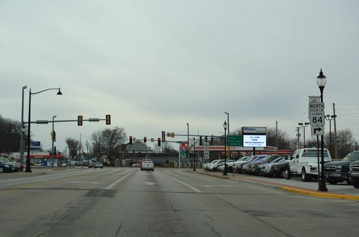
| IL 5 & 92 overlap for 3.5 miles along a controlled access expressway with frontage roads to Interstate 88. IL 5 concludes a 15 mile route there as I-88 begins toward Chicago. 03/31/16 |
|
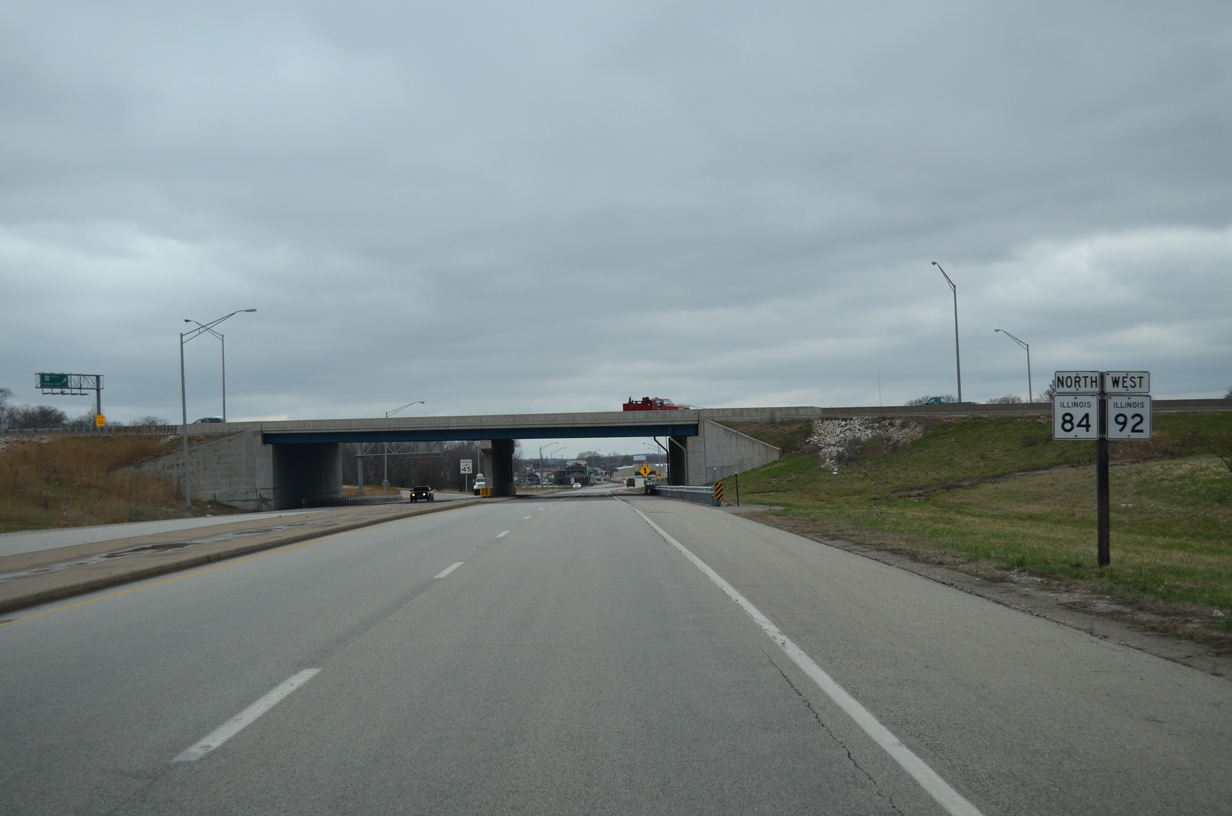
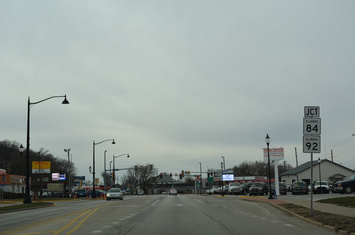
| Beyond the exchange with IL 5 (John Deere Expressway), IL 92 west joins IL 84 (1st Avenue) north for a 1.3 mile overlap to East Moline. 03/31/16 |
|
| A left turn takes motorists onto the John Deere Expressway westbound to commercial areas of south Moline, Interstate 74, South Park Mall and the Milan Beltway. 03/31/16 |
|
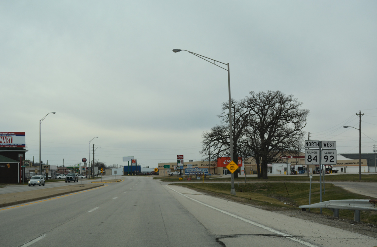
| The remaining 11.7 miles of IL 5 west forms a belt route around Moline and Rock Island to U.S. 67 near Vandruff Island. 03/31/16 |
|
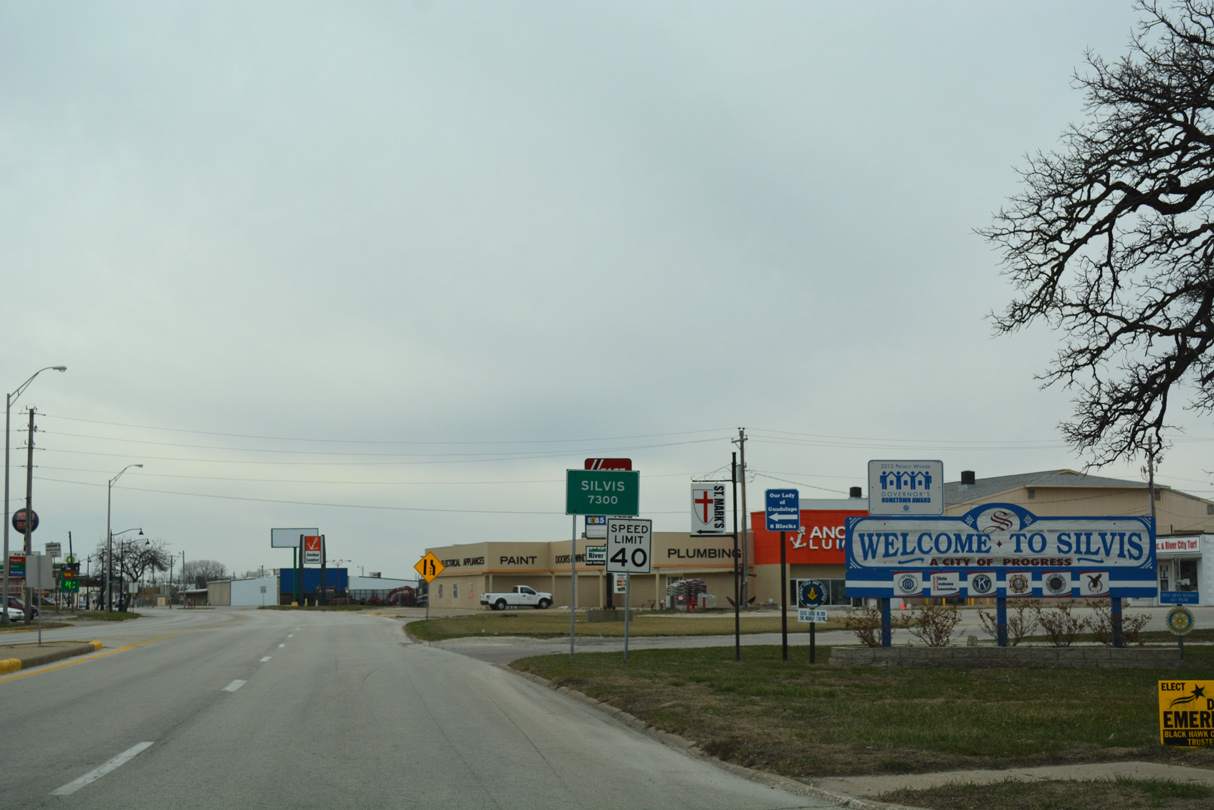
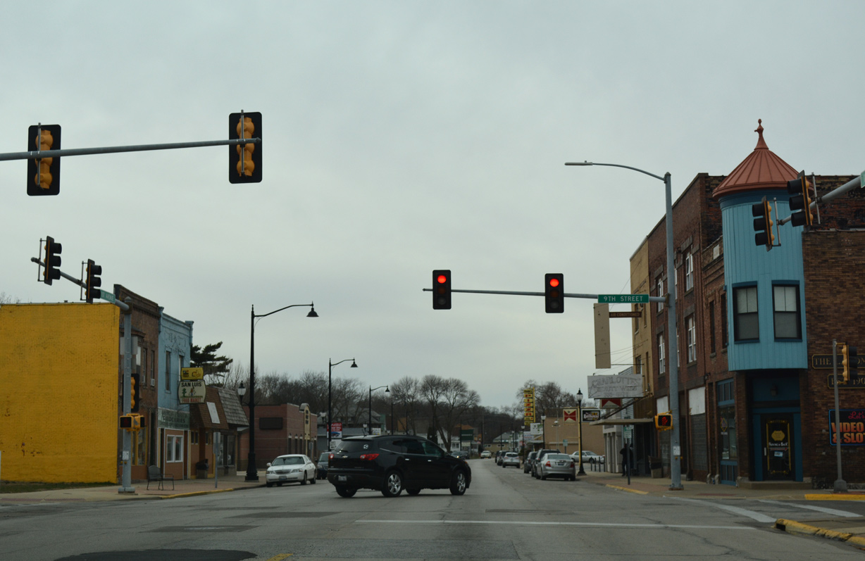
| 1st Avenue leads IL 84 north & 92 west into the city of Silvis business district as a two lane boulevard with on-street parking. 03/12/17 |
|
| 9th Street heads south IL 84 & 92 (1st Avenue) and from Downtown Silvis to 4th Avenue and residential areas near Schadt Park. 03/12/17 |
|
| Eight blocks further west, IL 84 north & 92 west approach their split at 19th Street and the East Moline city line. 03/12/17 |
|
| IL 84 resumes a northern course along 19th Street through north East Moline. IL 92 follows 18th Avenue west to Downtown East Moline. 03/12/17 |
|
| Westbound 1st Avenue at the separation of IL 84 north to Hampton and Rapids City and IL 92 west to Moline and Rock Island. 19th Street continues south along the Silvis city line as the former alignment of IL 2, 80 and 92 Bypass. 03/12/17 |
|
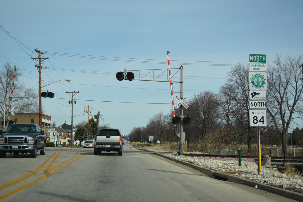
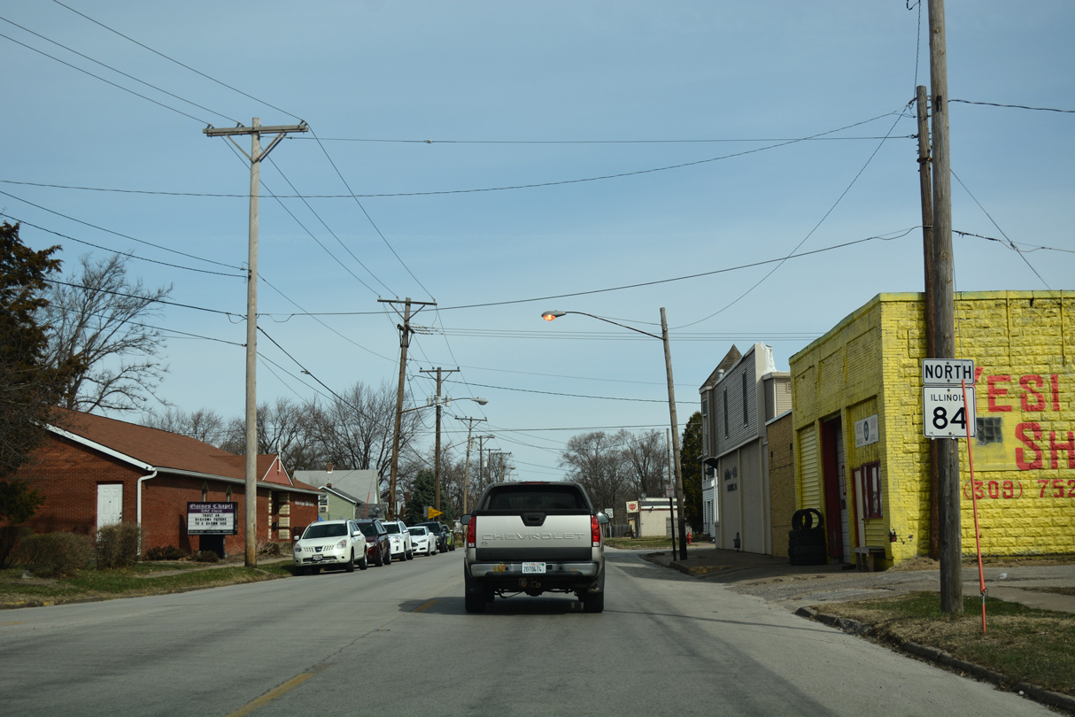
| Leading north from IL 92 (18th Avenue), IL 84 (19th Street) runs along the East Moline and Silvis city line to the BNSF Railroad line. 03/12/17 |
|
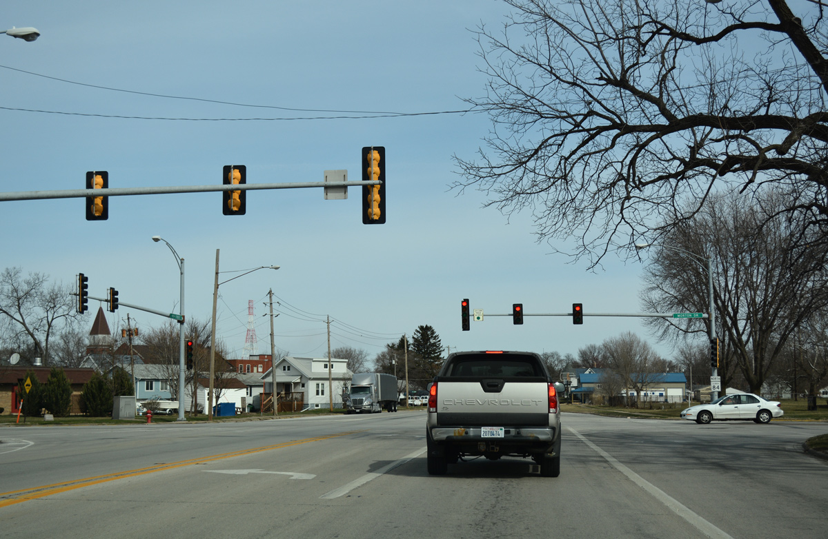
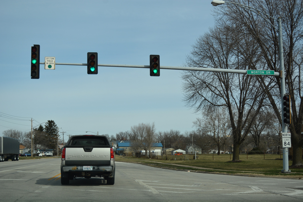
| Wholly within the city of East Moline, IL 84 (19th Street) intersects Morton Drive west to the John Deere Harvestor Works plant and east to CR N (40th Street) near the Babcock community. 03/12/17 |
|
| 13th Street angles northeast to a wye intersection with IL 84 (19th Street). 03/12/17 |
|
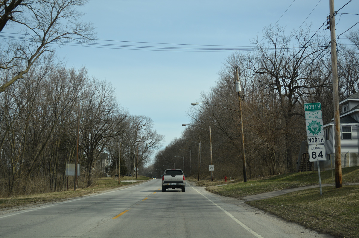
| Turning northeast to match the course of the Mississippi River along 20th Street, IL 84 intersects 19th Street west to Campbells Island ahead of this shield assembly. 03/12/17 |
|
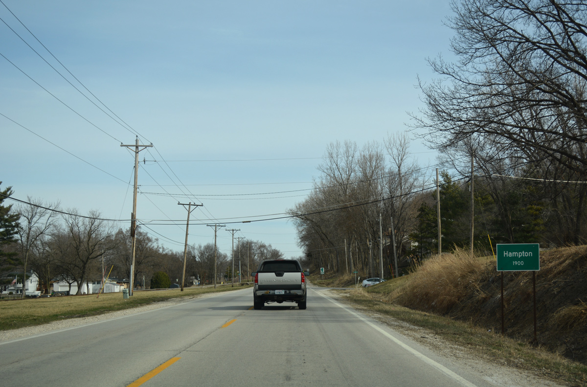
| IL 84 transitions onto State Avenue through the riverside village of Hampton. 03/12/17 |
|
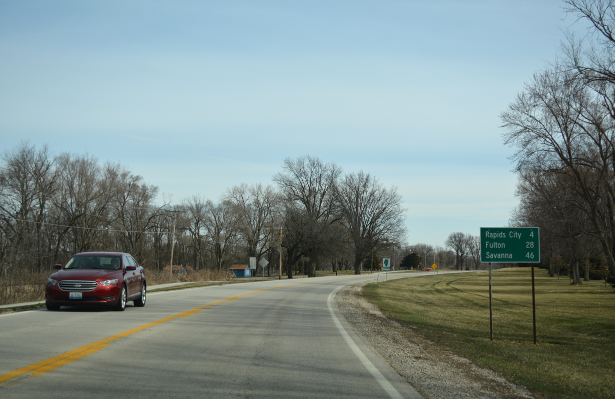
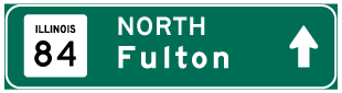
| Distance sign posted 28 miles from Fulton (U.S. 30) and 46 miles from Savanna (U.S. 52) on IL 84 north. The state route passes through the Illiniwek Forest Preserve along the ensuing stretch. 03/12/17 |
|
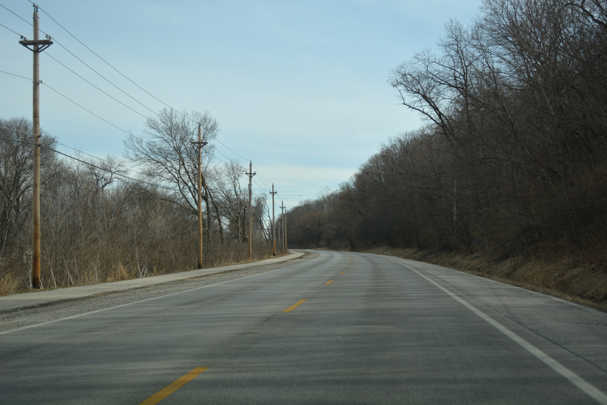
| Traveling through northeast Hampton, IL 84 runs alongside the Great River and the Elton E. Fawks Bald Eagle Refuge Nature Preserve. 03/12/17 |
|
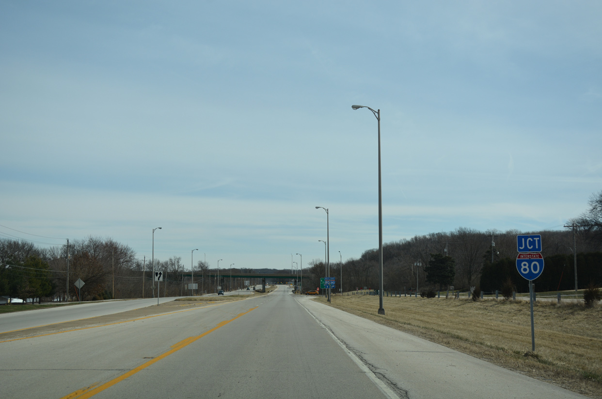
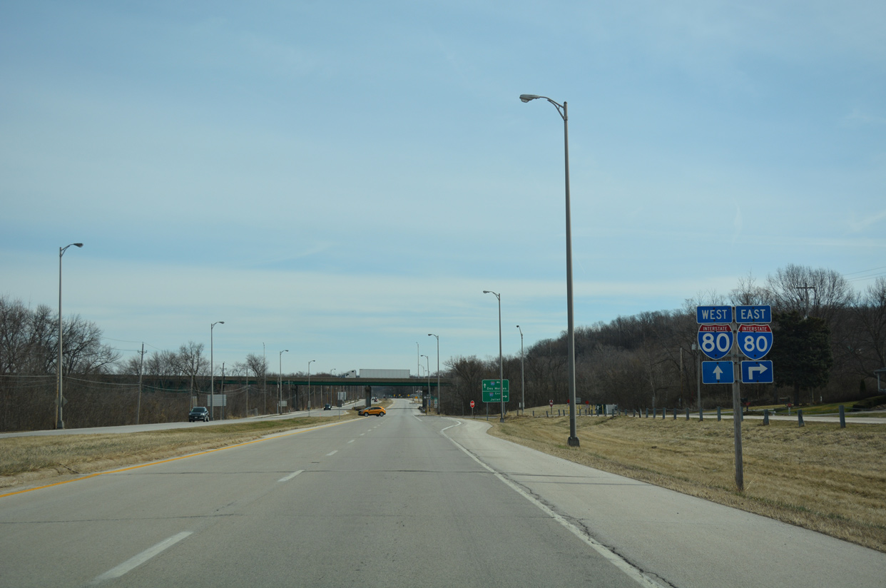
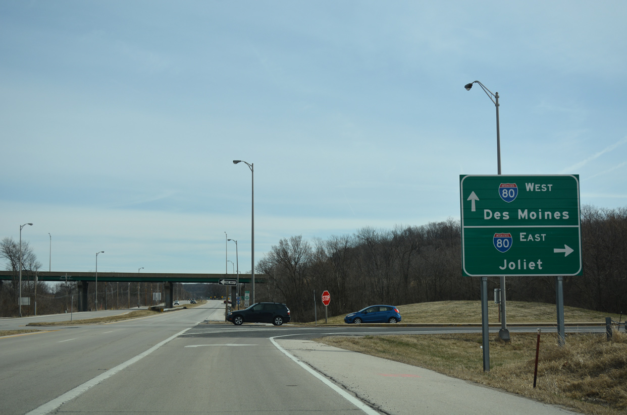
| Leaving Hampton, IL 84 widens into a four lane highway through a folded diamond interchange with Interstate 80. 03/12/17 |
|
| The eastbound on-ramp to I-80 from IL 84 near Rapids City leads motorists south to Colona and I-74 to Peoria, and east to Joliet and the Chicago area. 03/12/17 |
Page Updated 05-15-2018.